


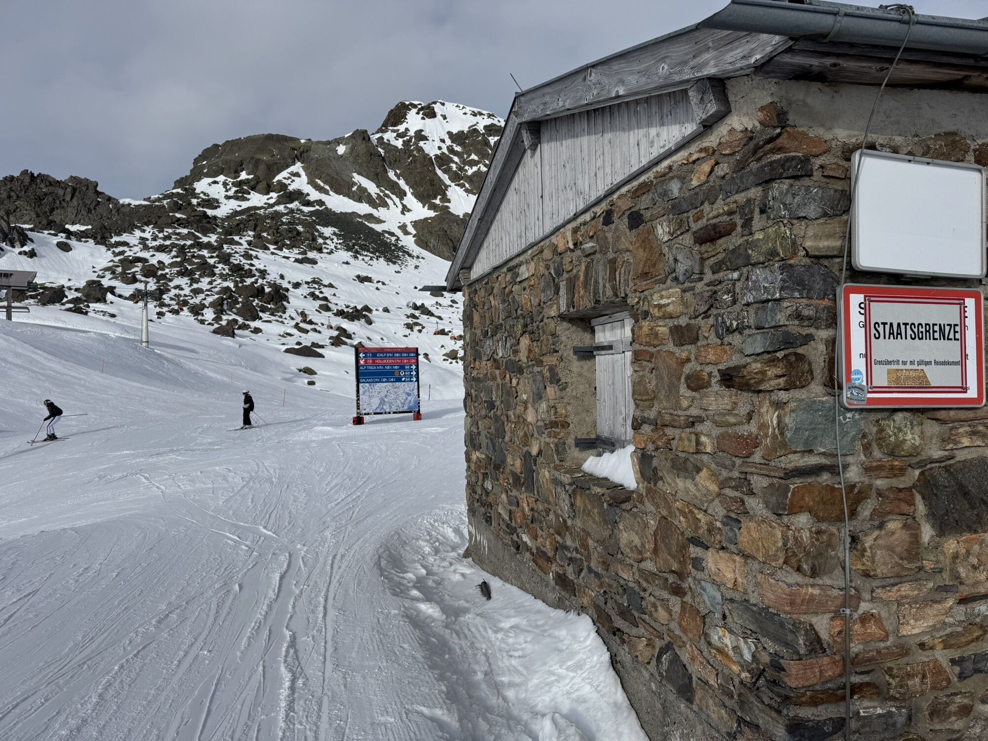
Fimberpass – Samnaun-Heidelberger Hütte-Ramosch
Poziom trudności: S3
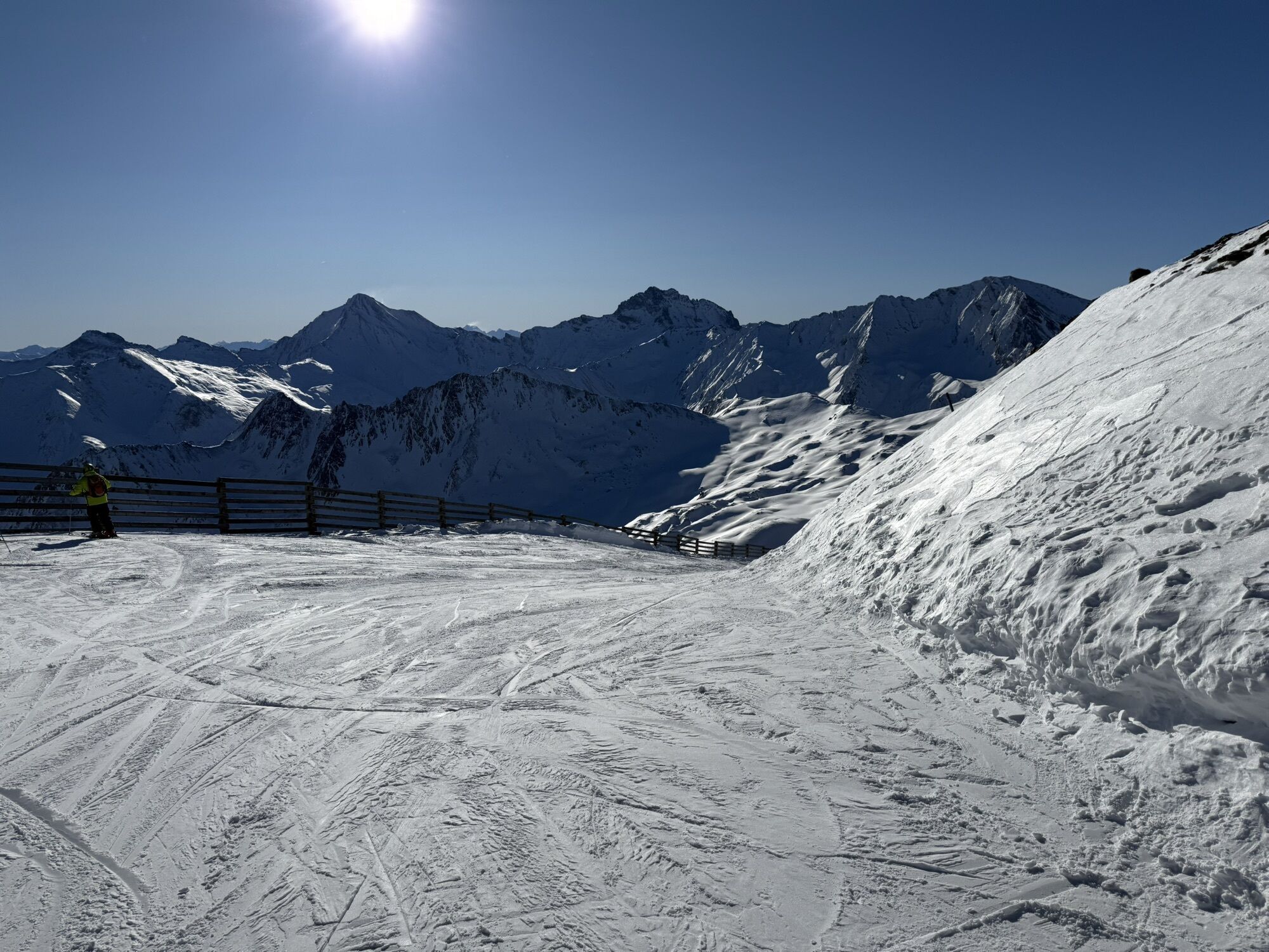
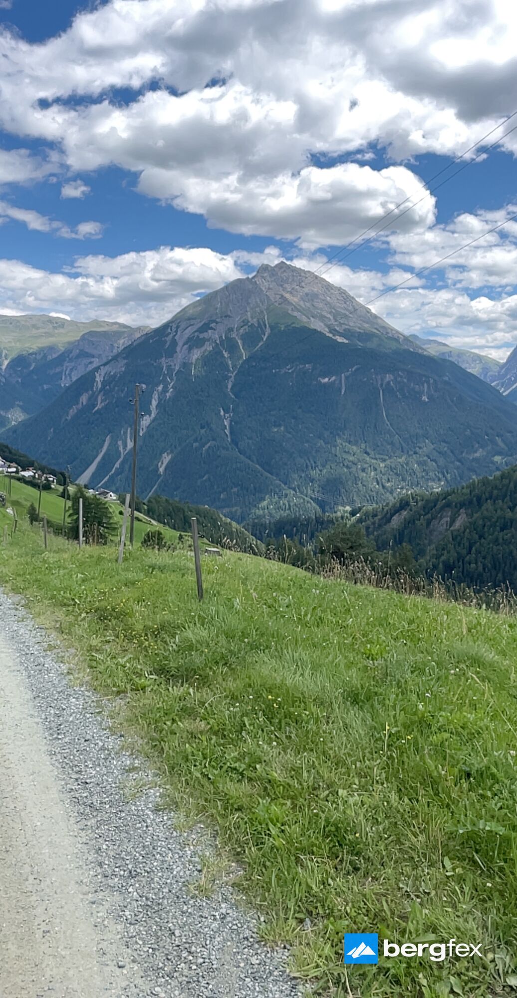
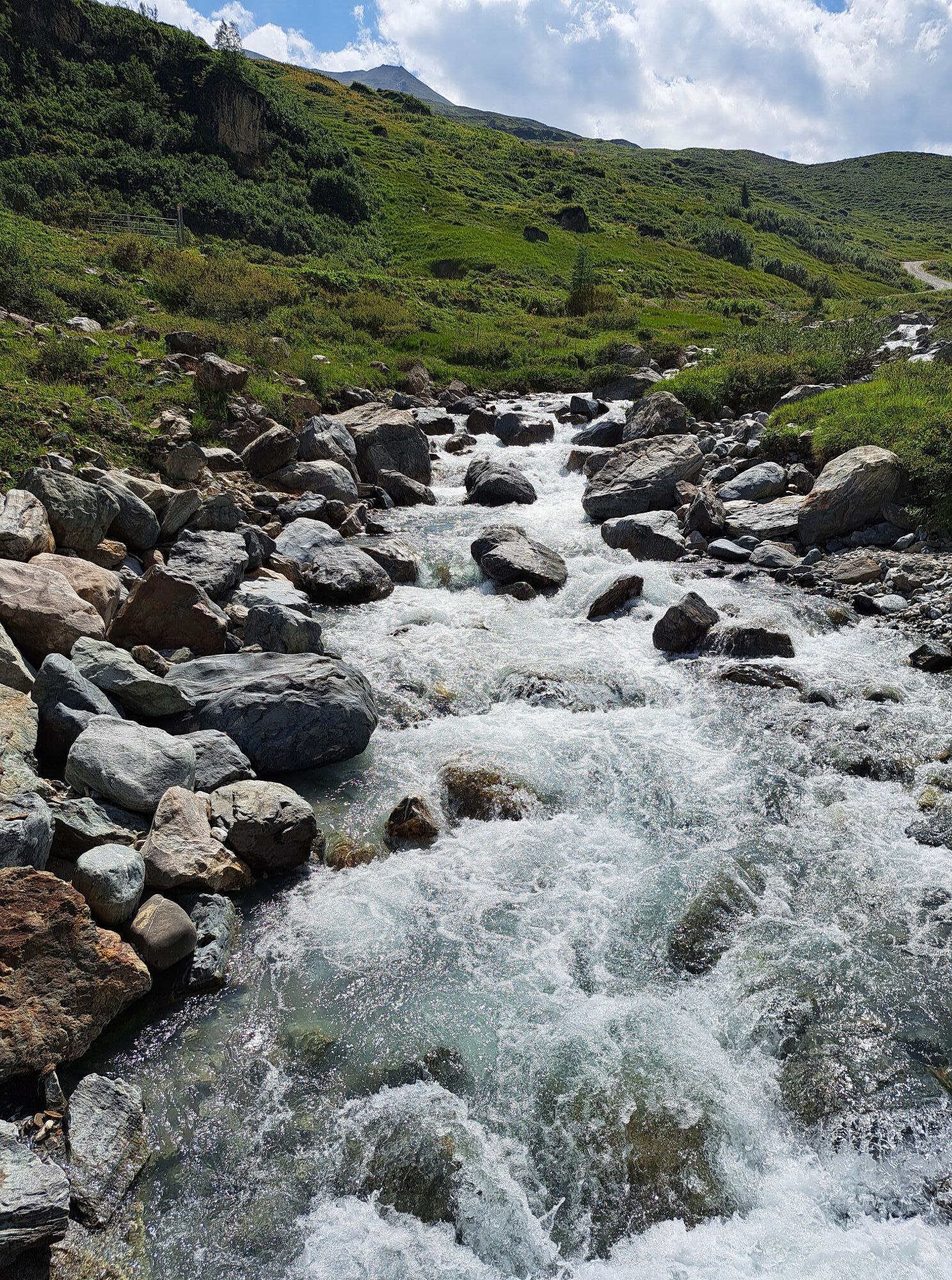
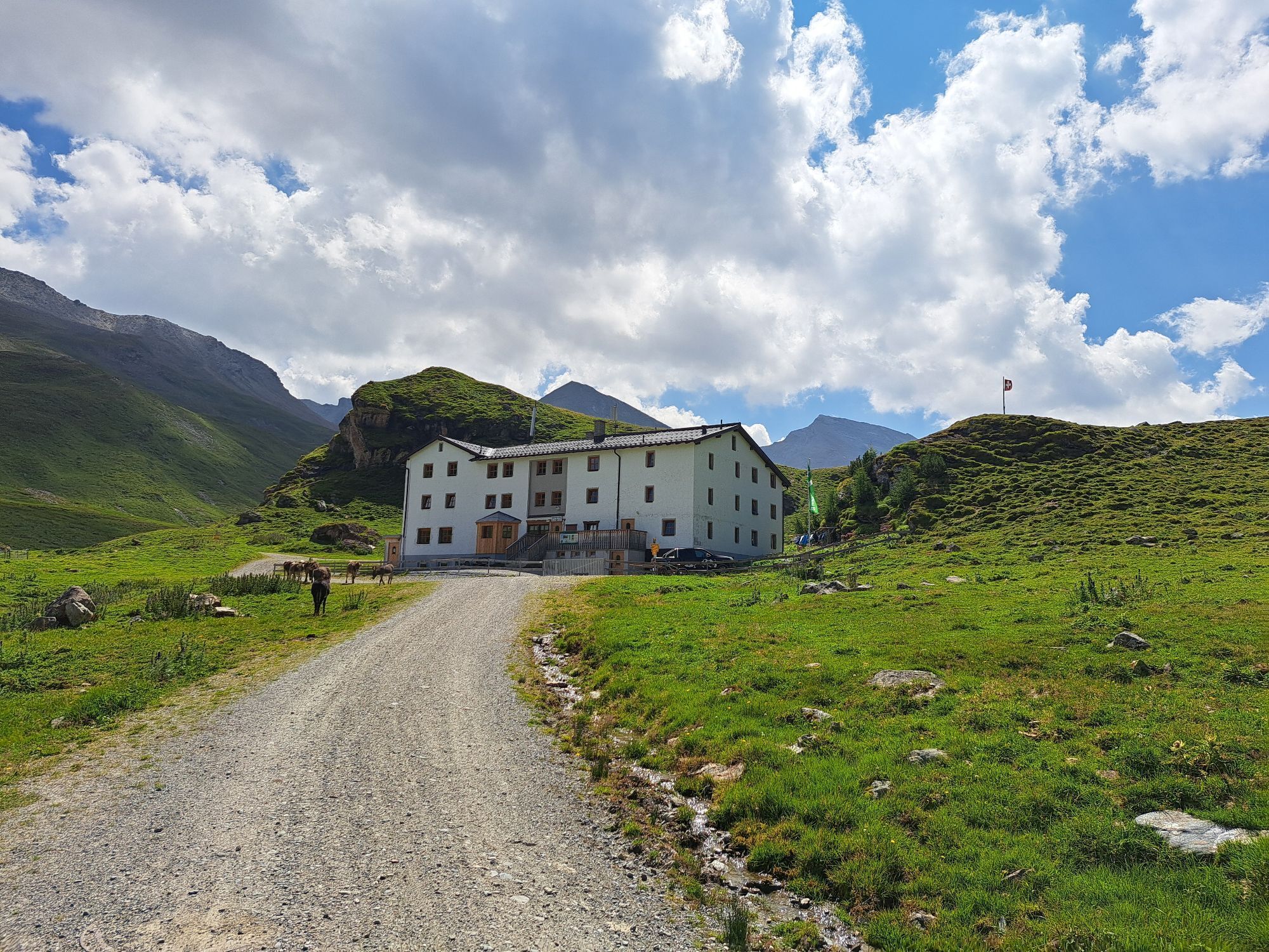
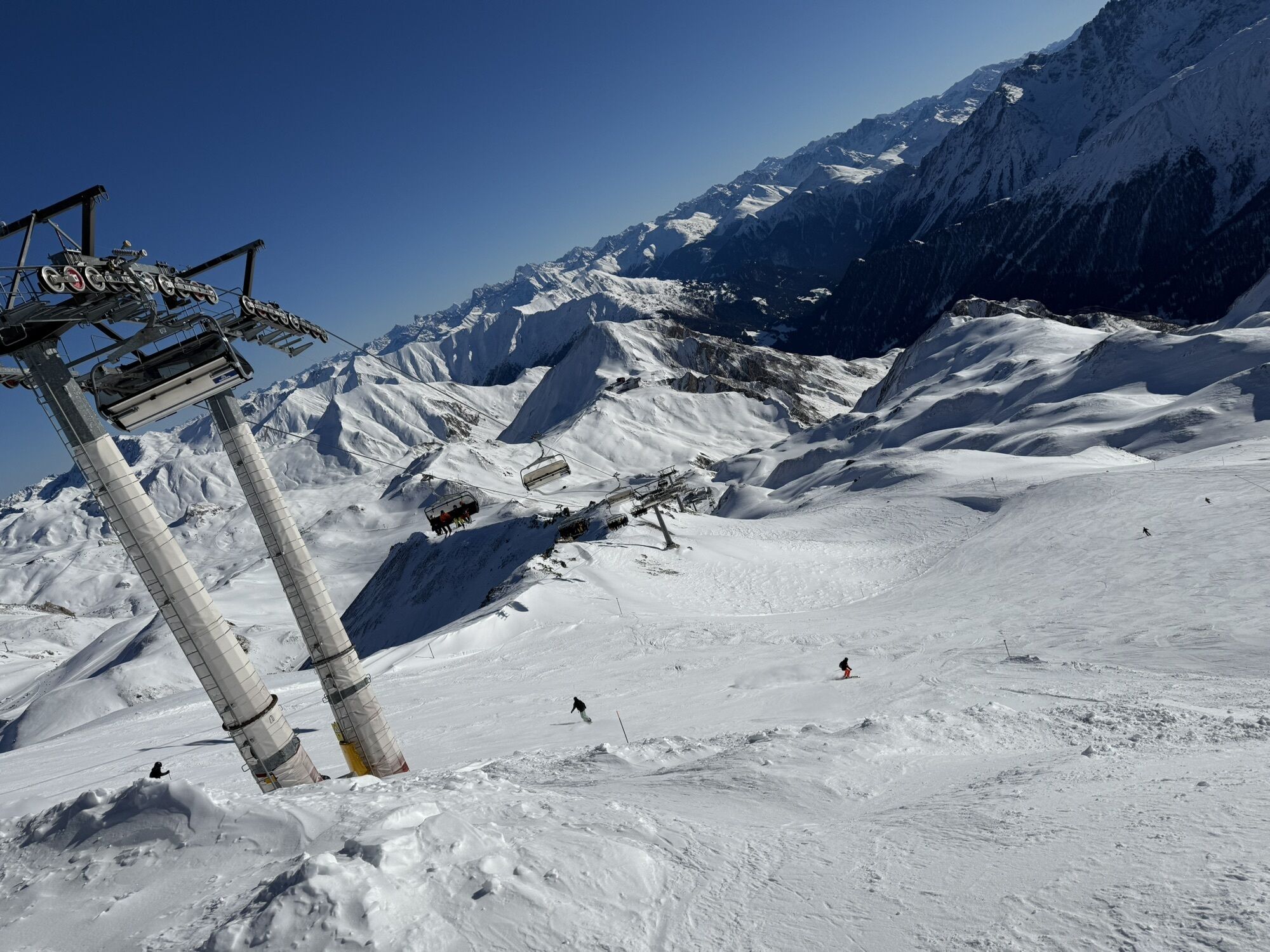
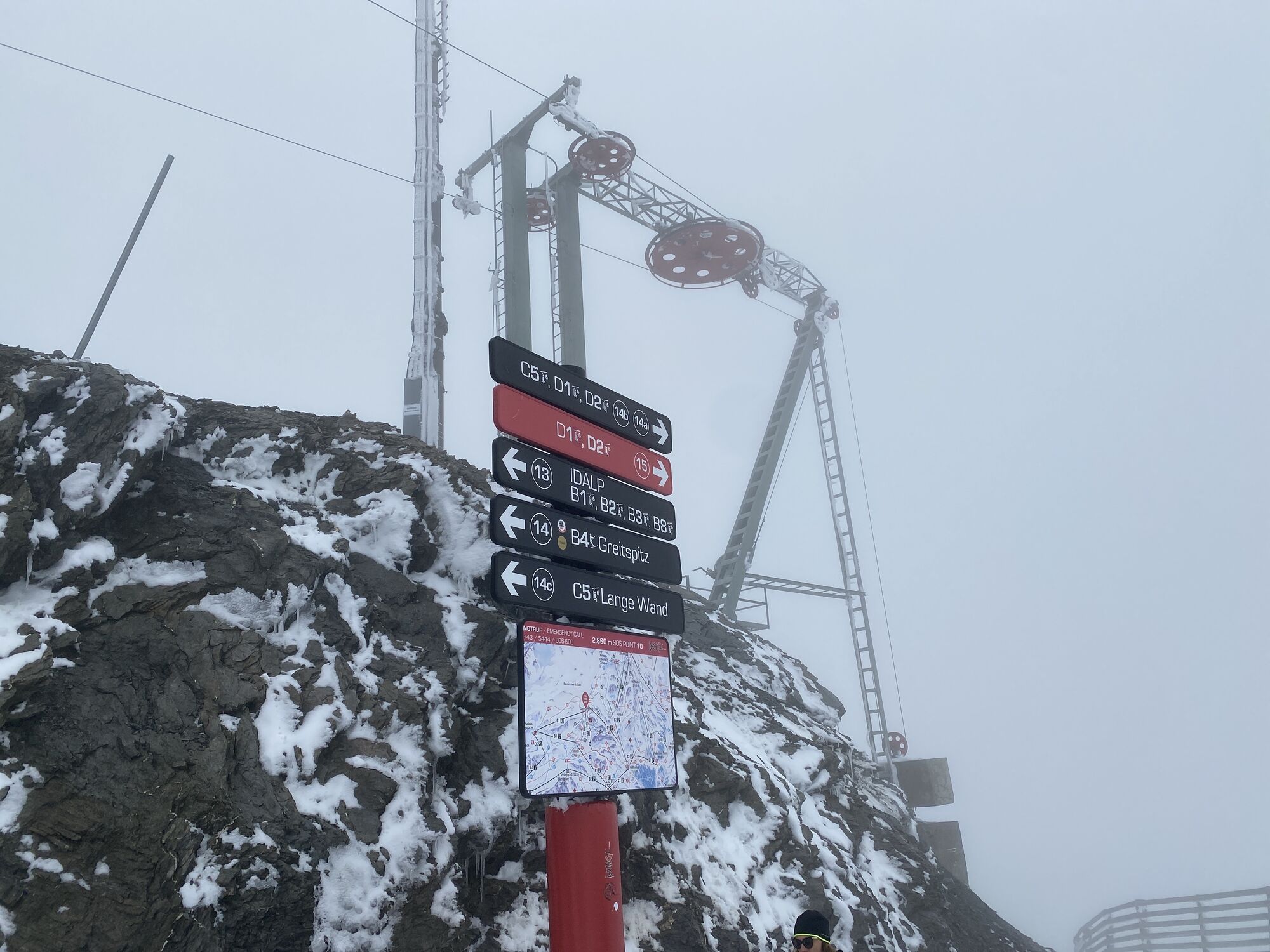
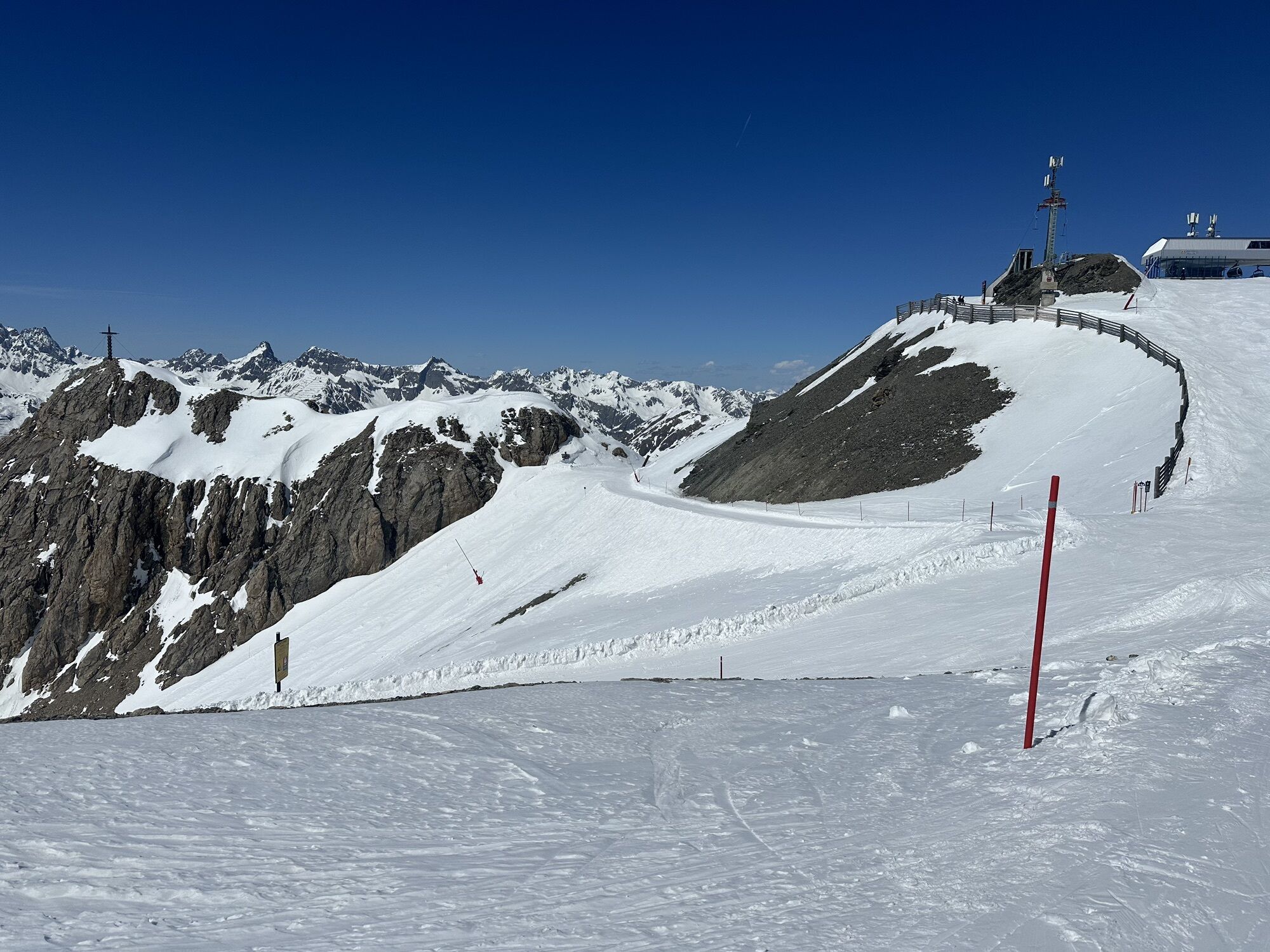
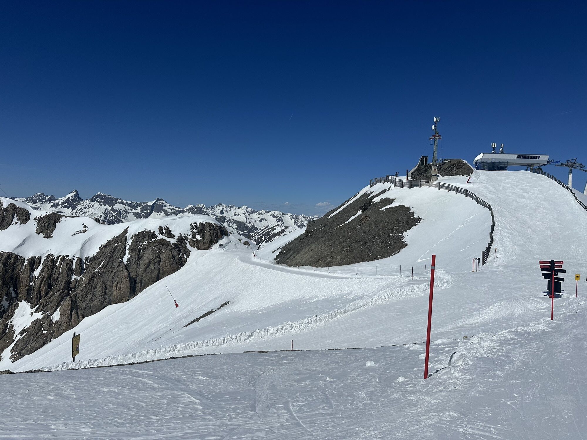
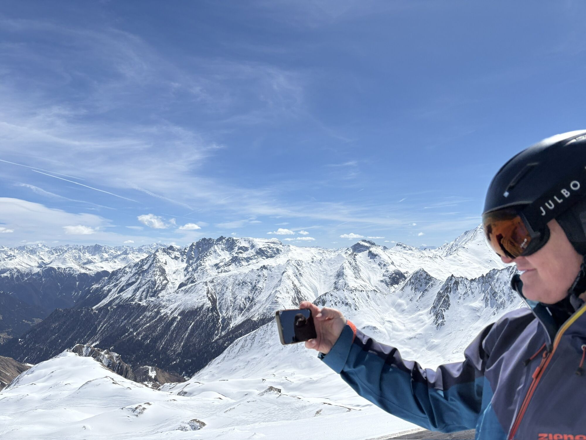
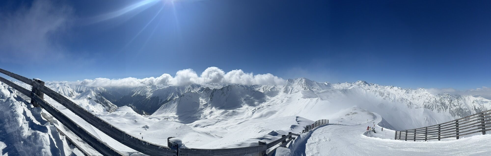
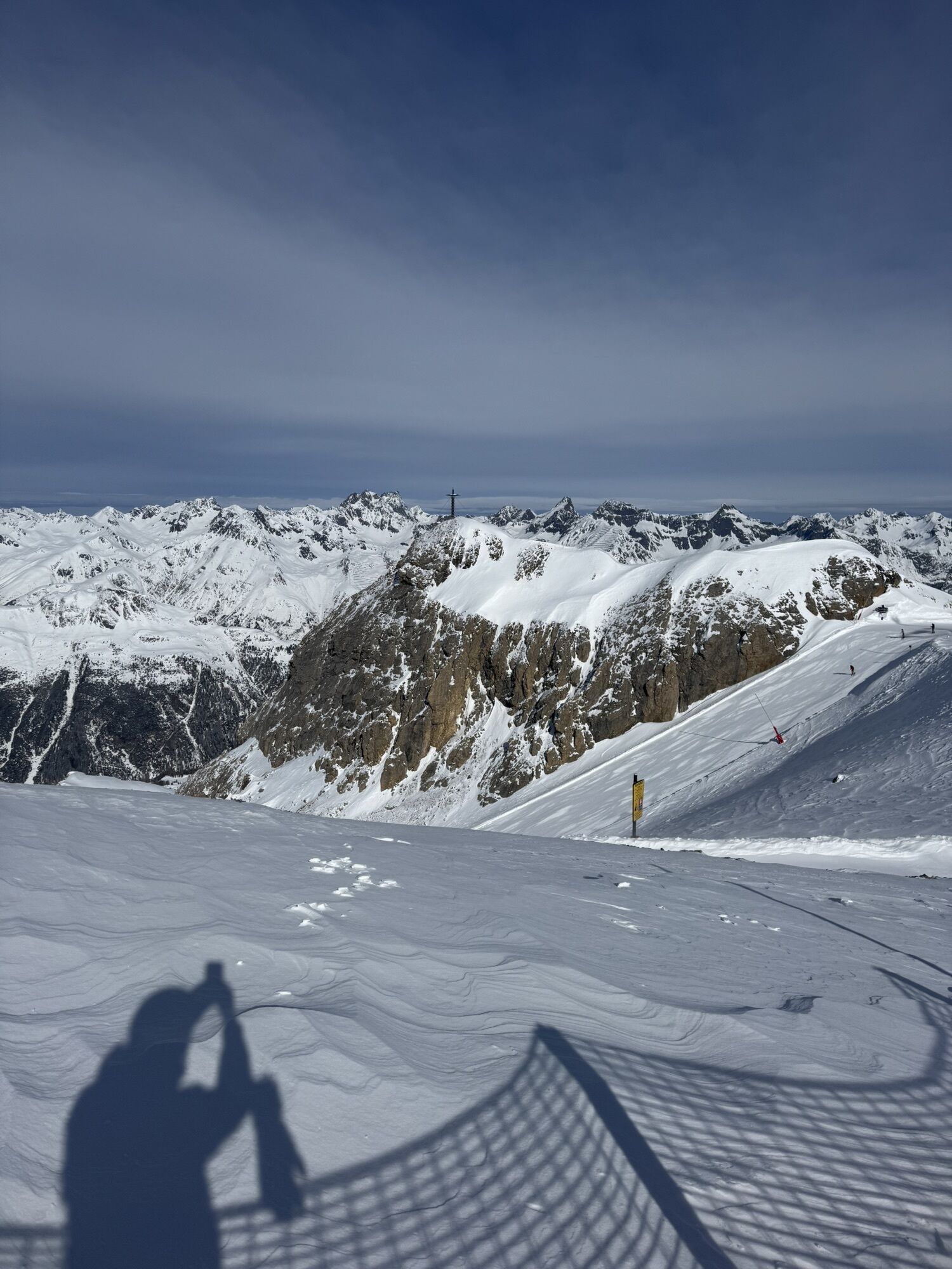
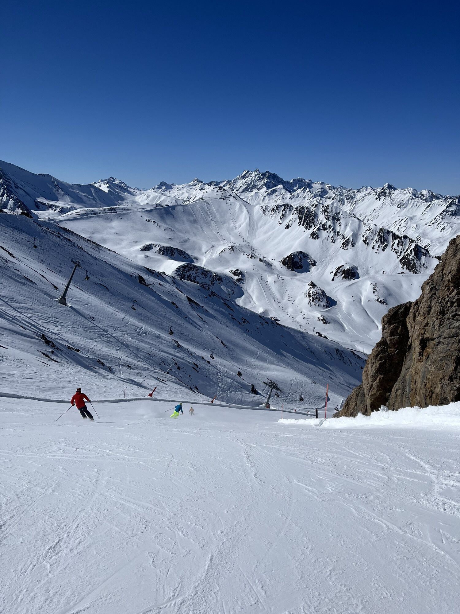
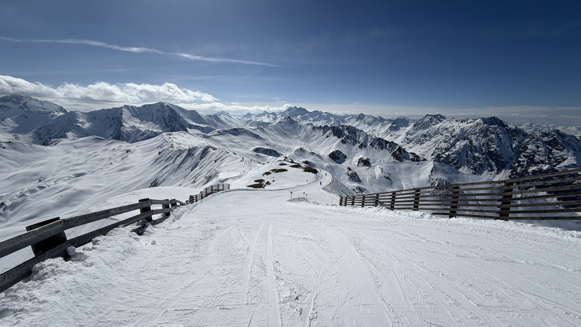
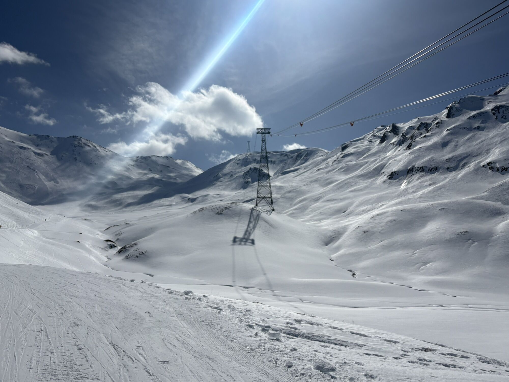
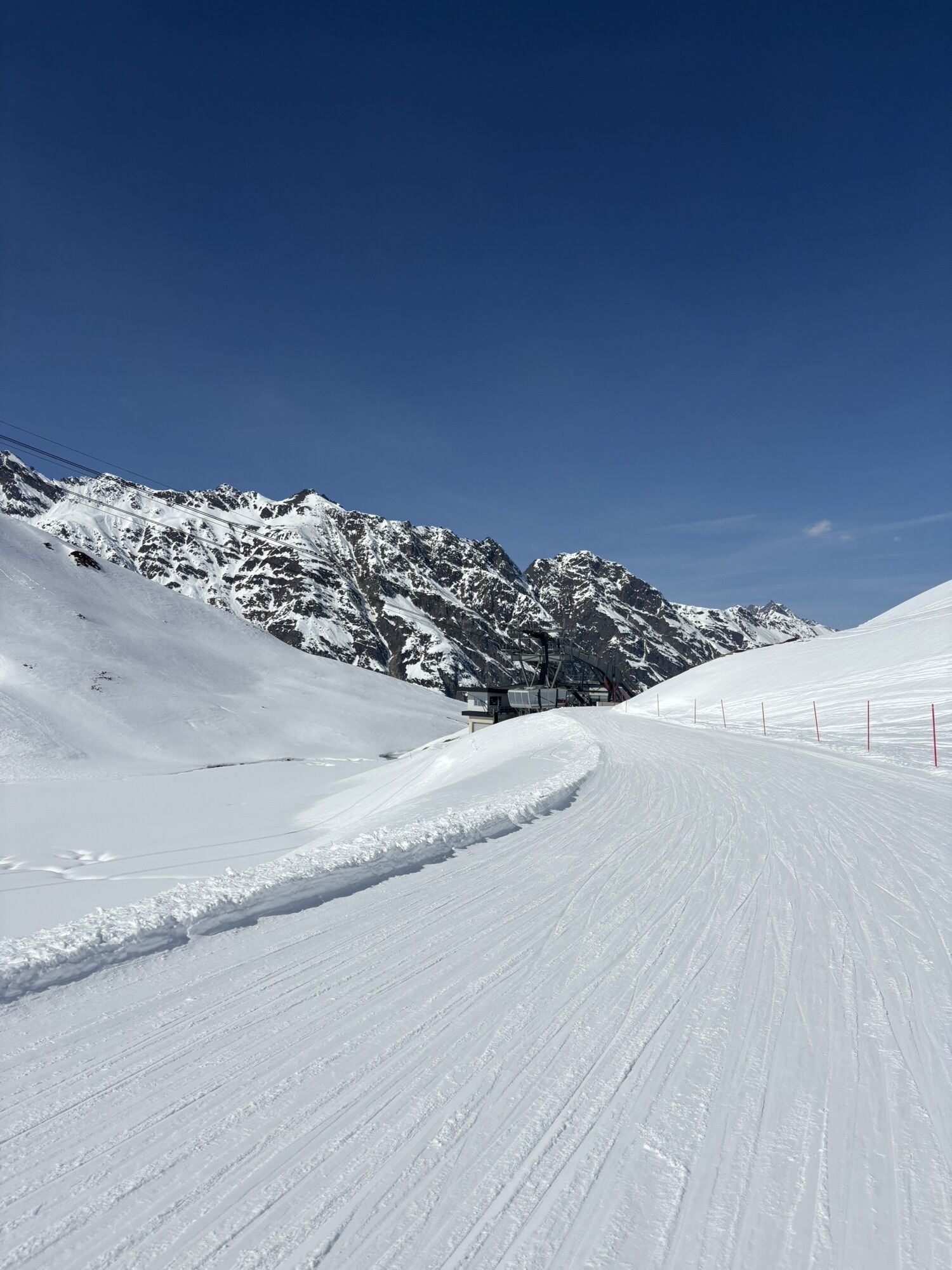
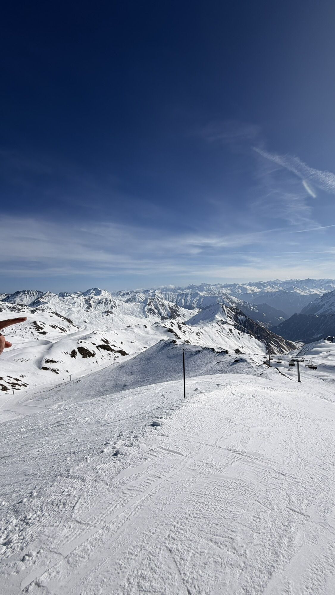

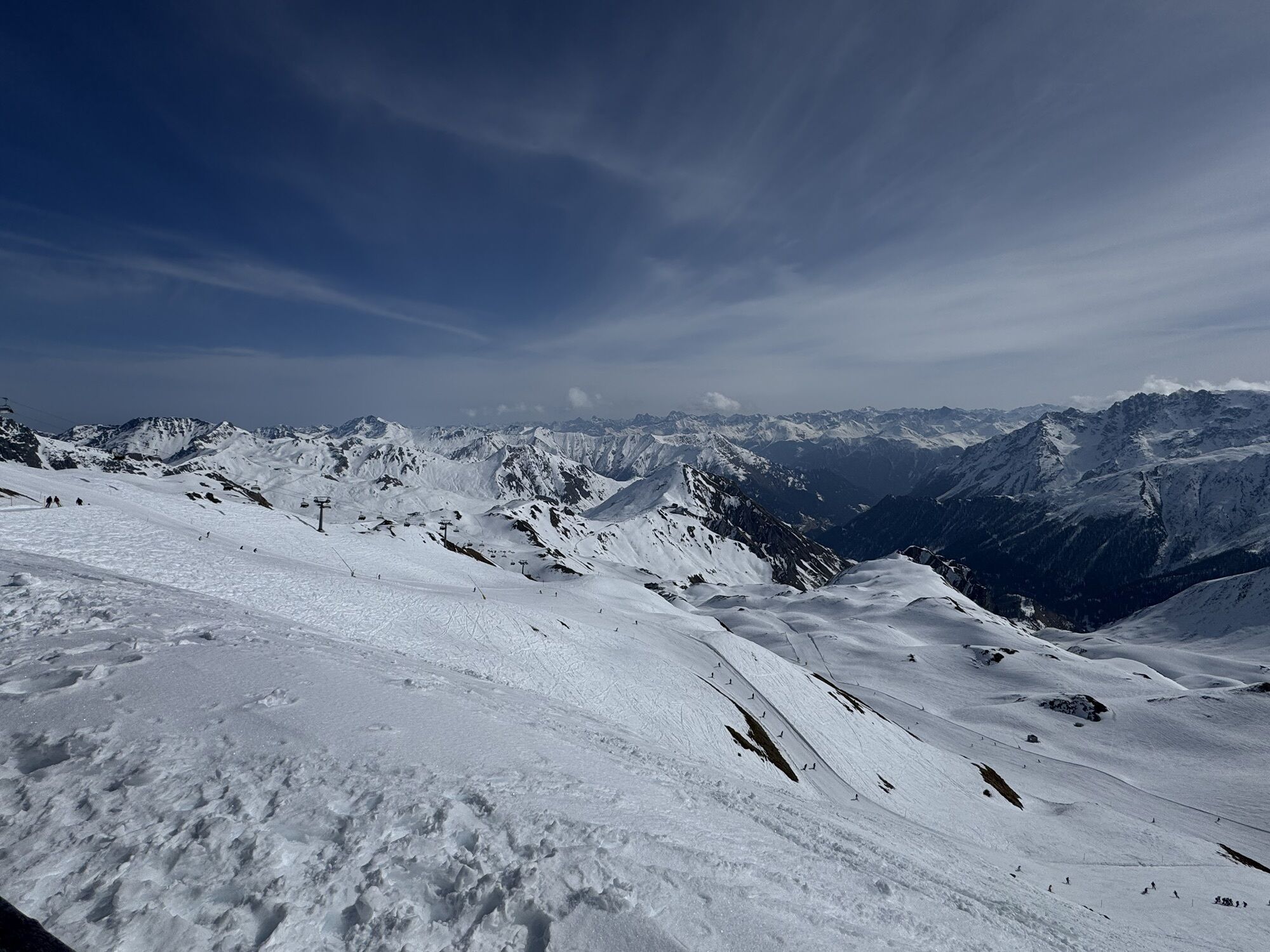
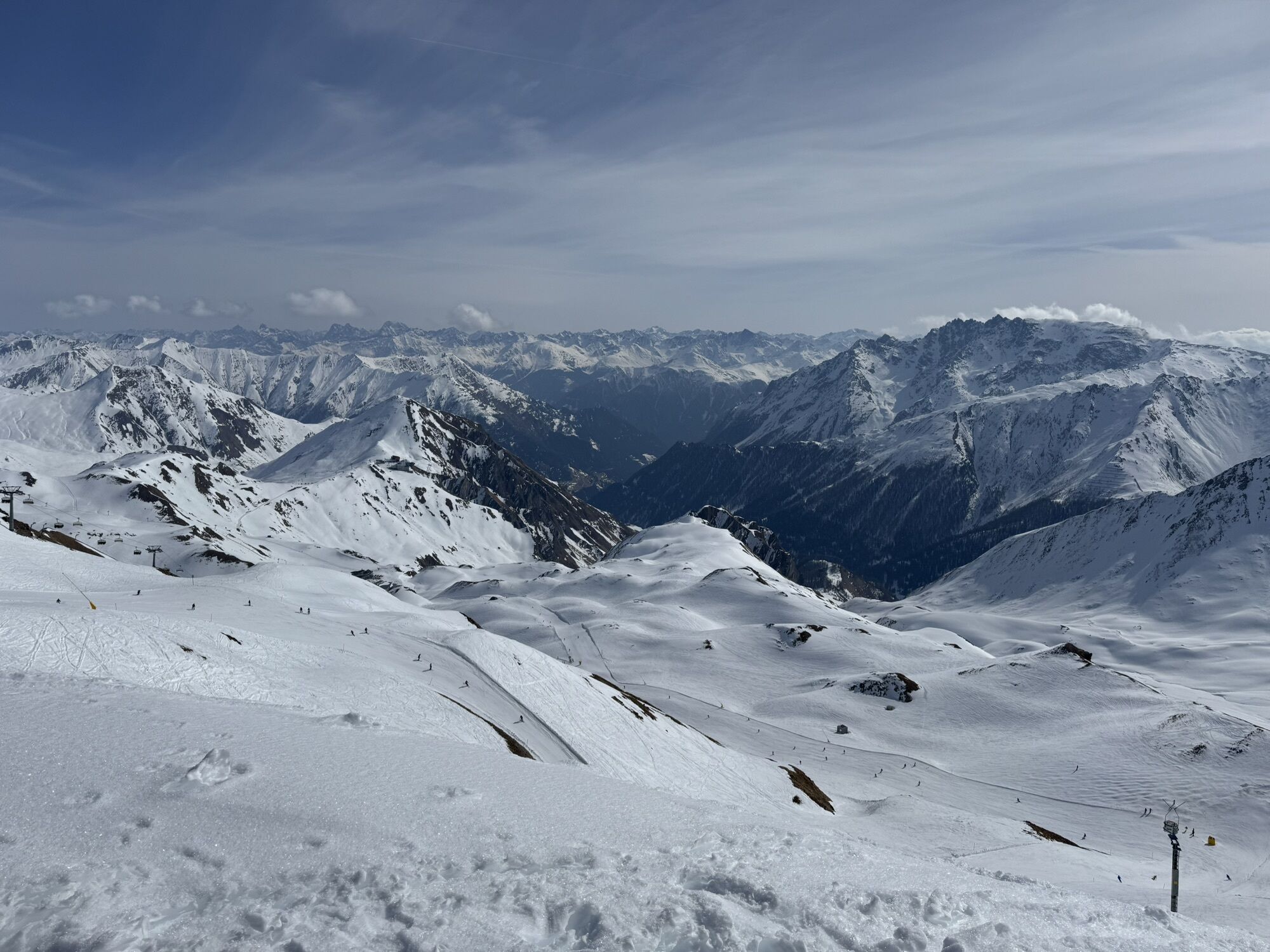
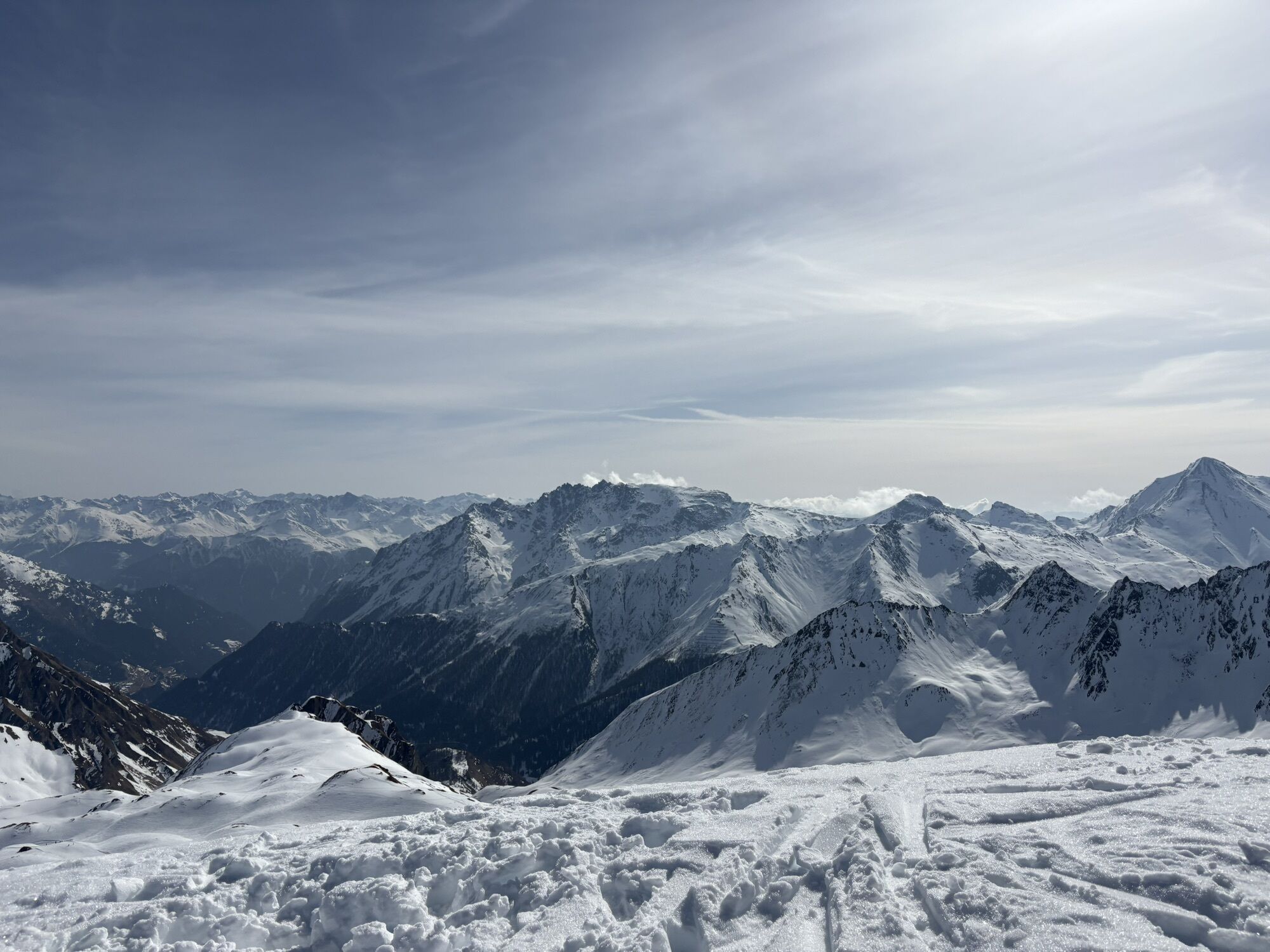
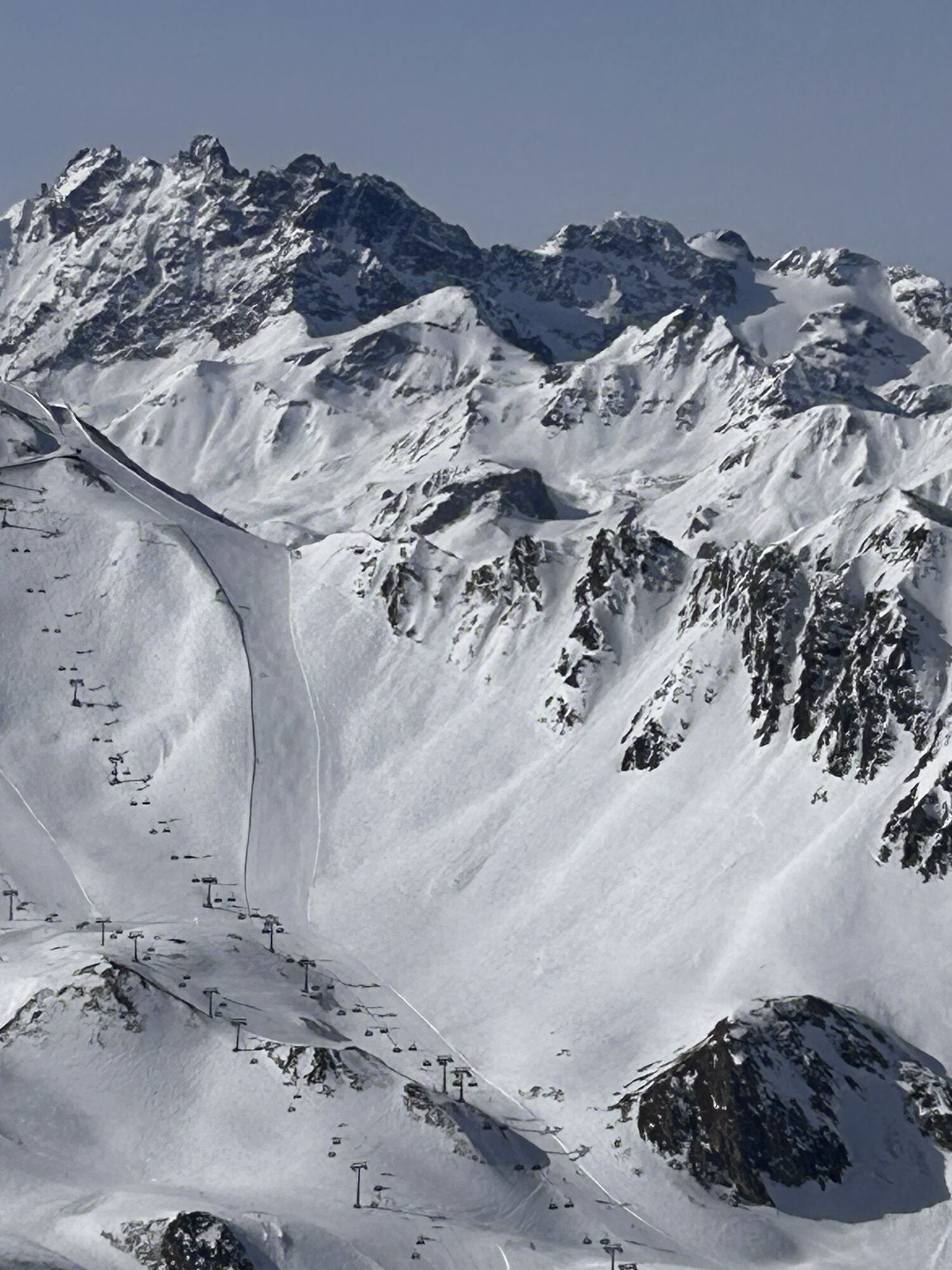
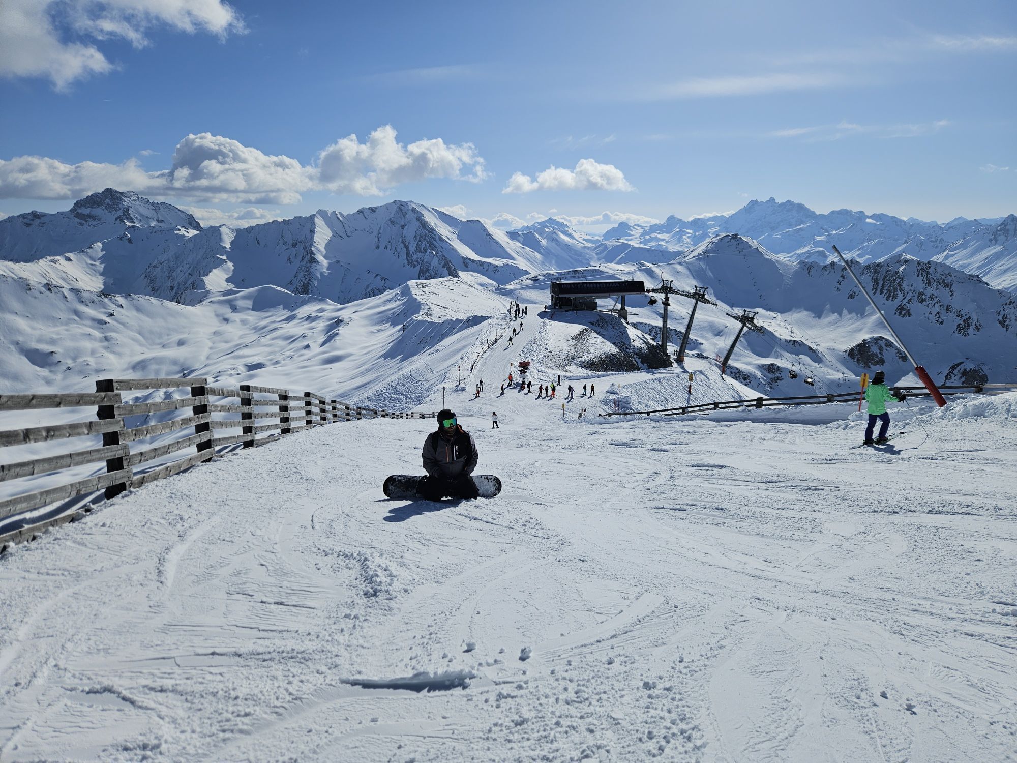
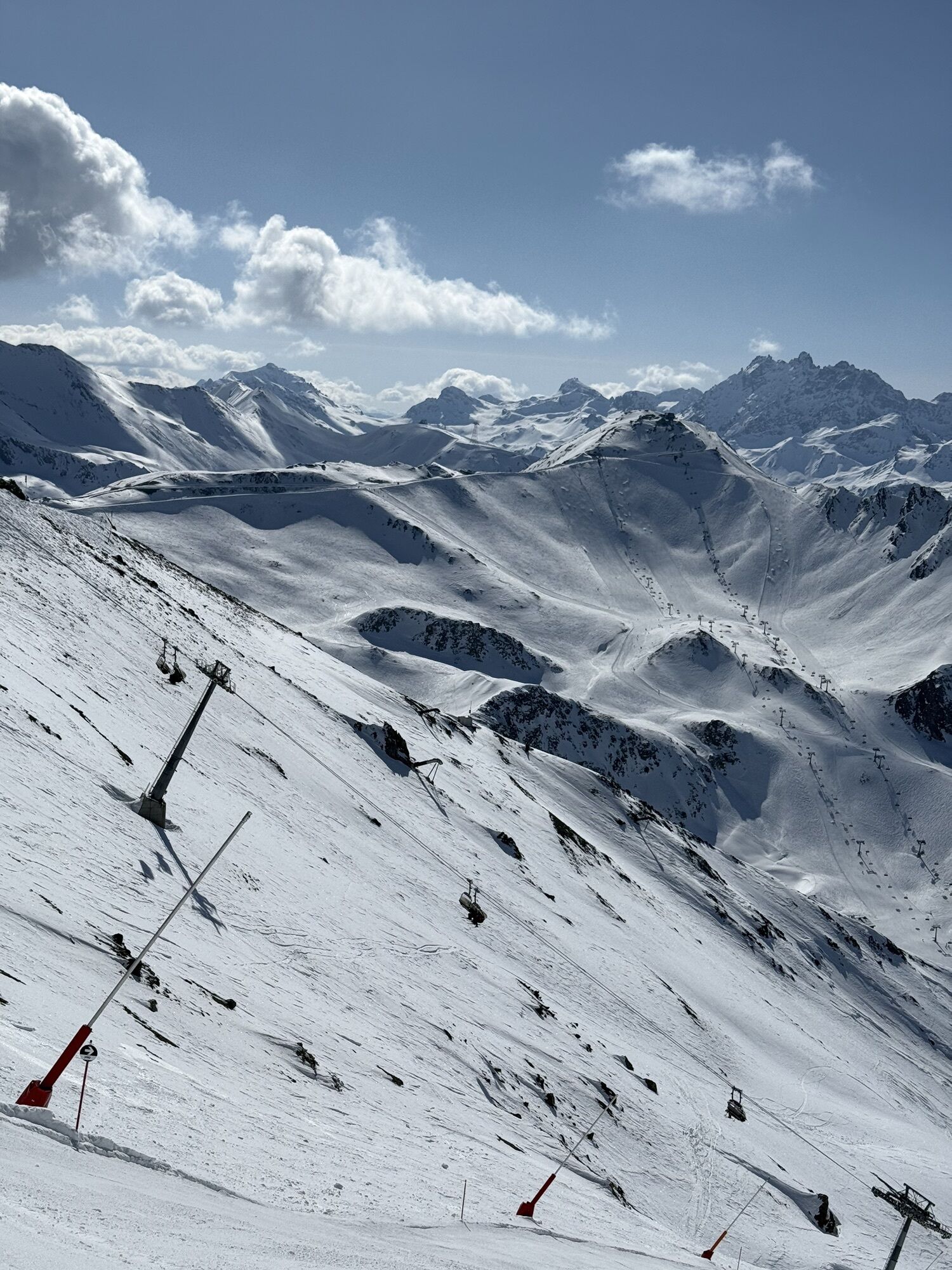
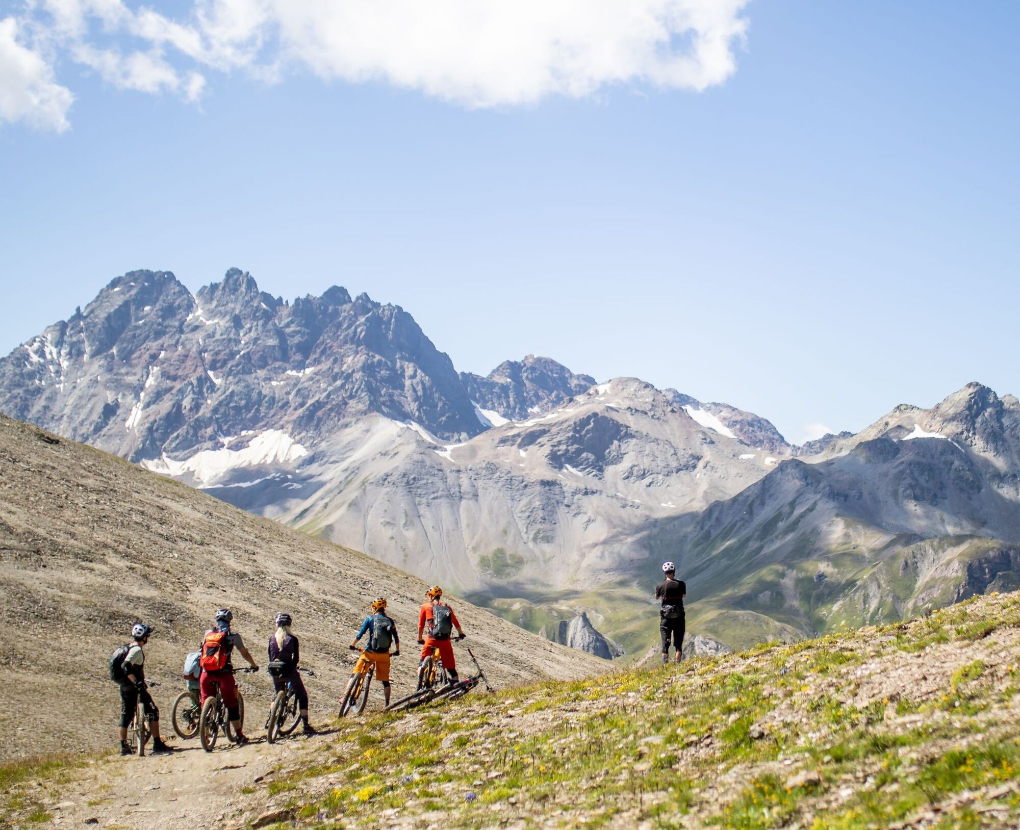
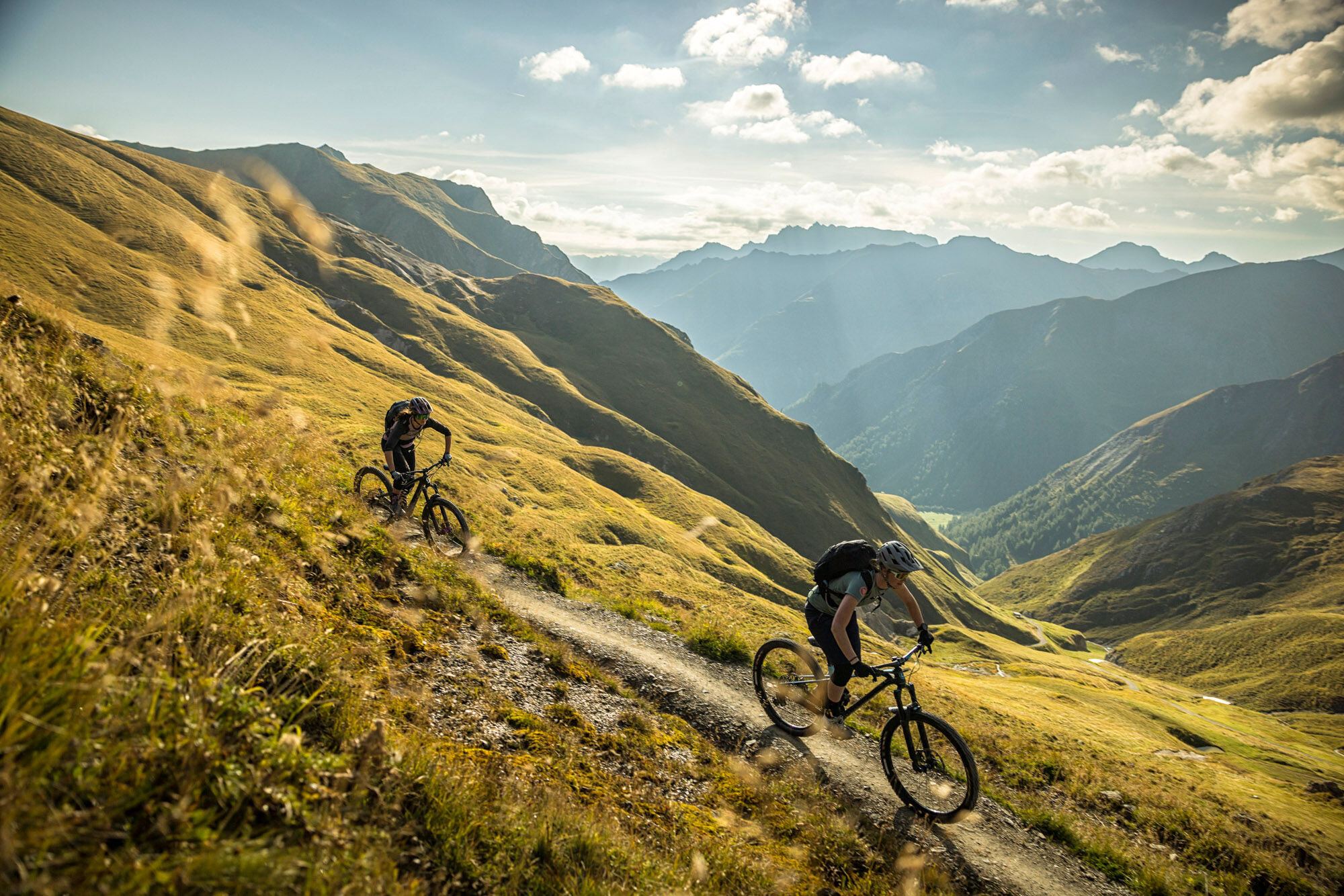
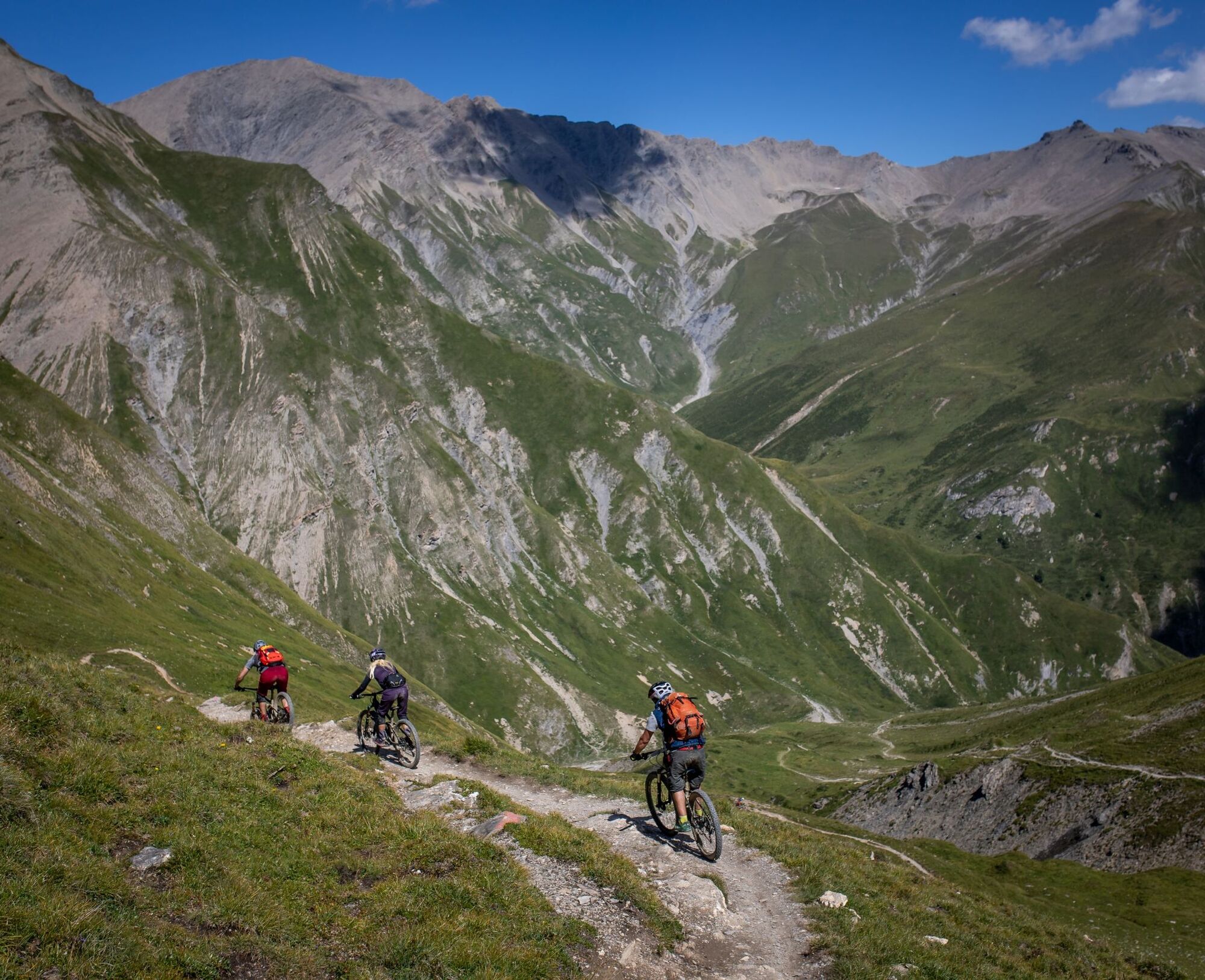
The first 360° panorama awaits at Greitspitz after the first steeper ascent. Then it continues along the Smuggler Trail over the ridge to Salaaser Kopf, where a flow trail leads towards Zeblasjoch. From...
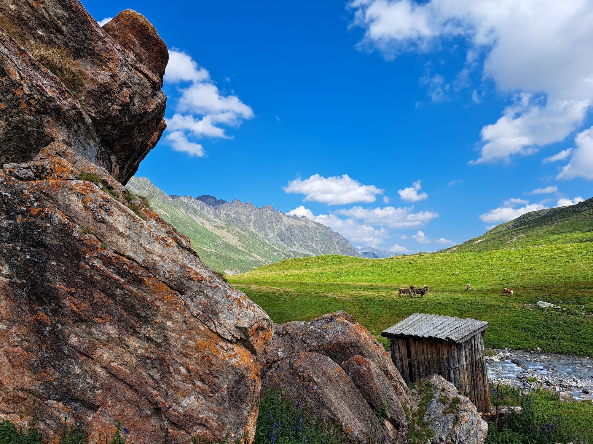
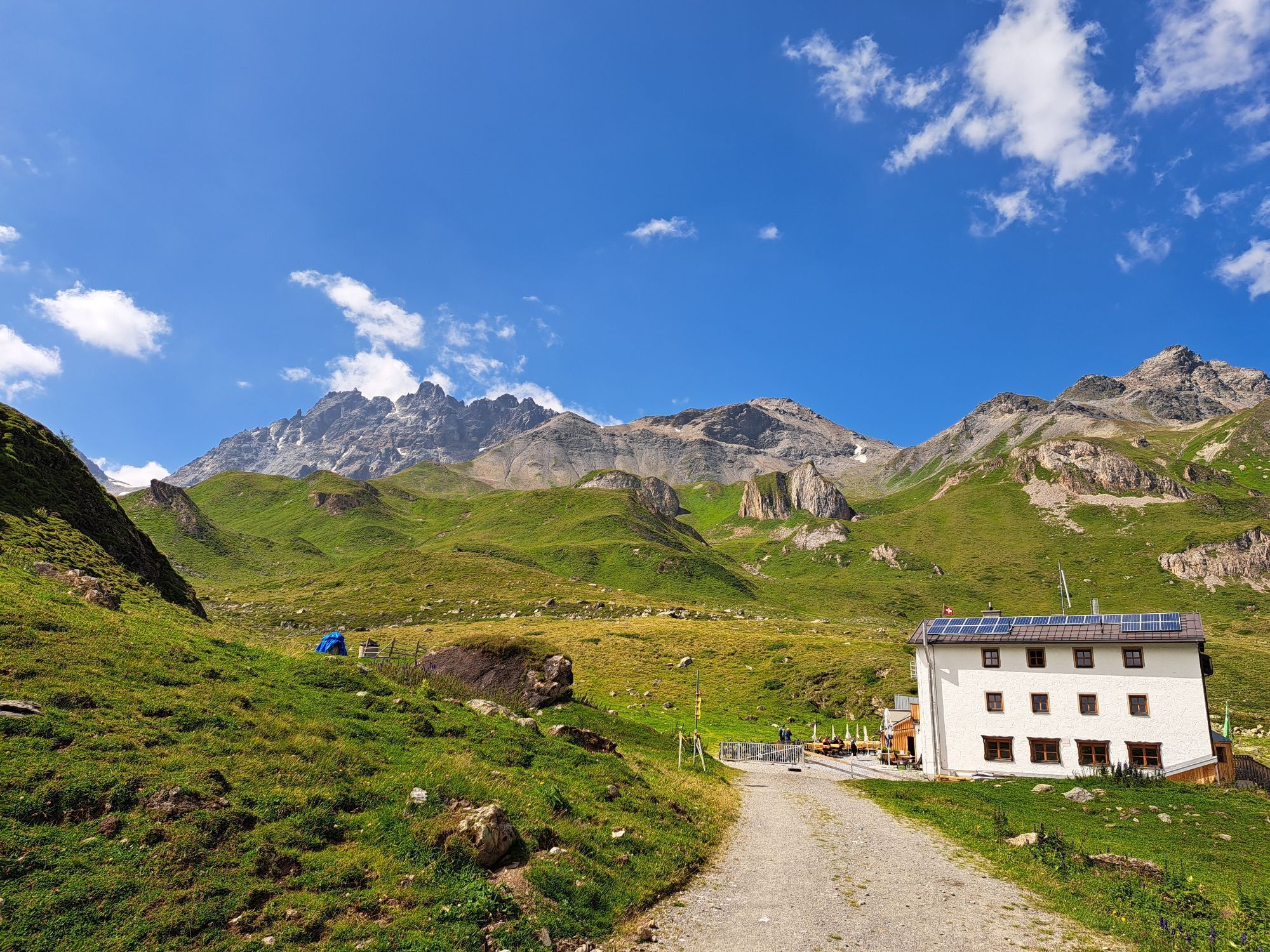
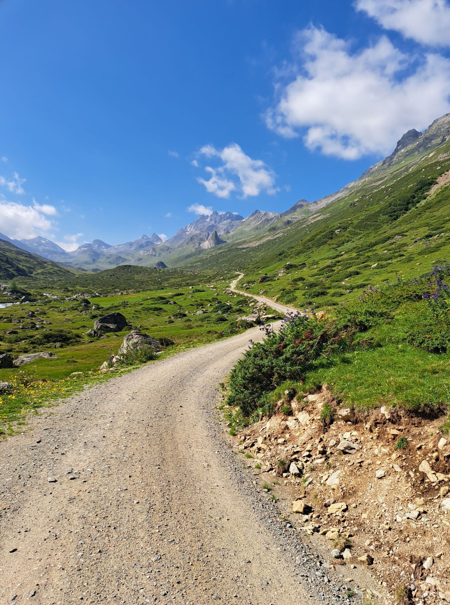
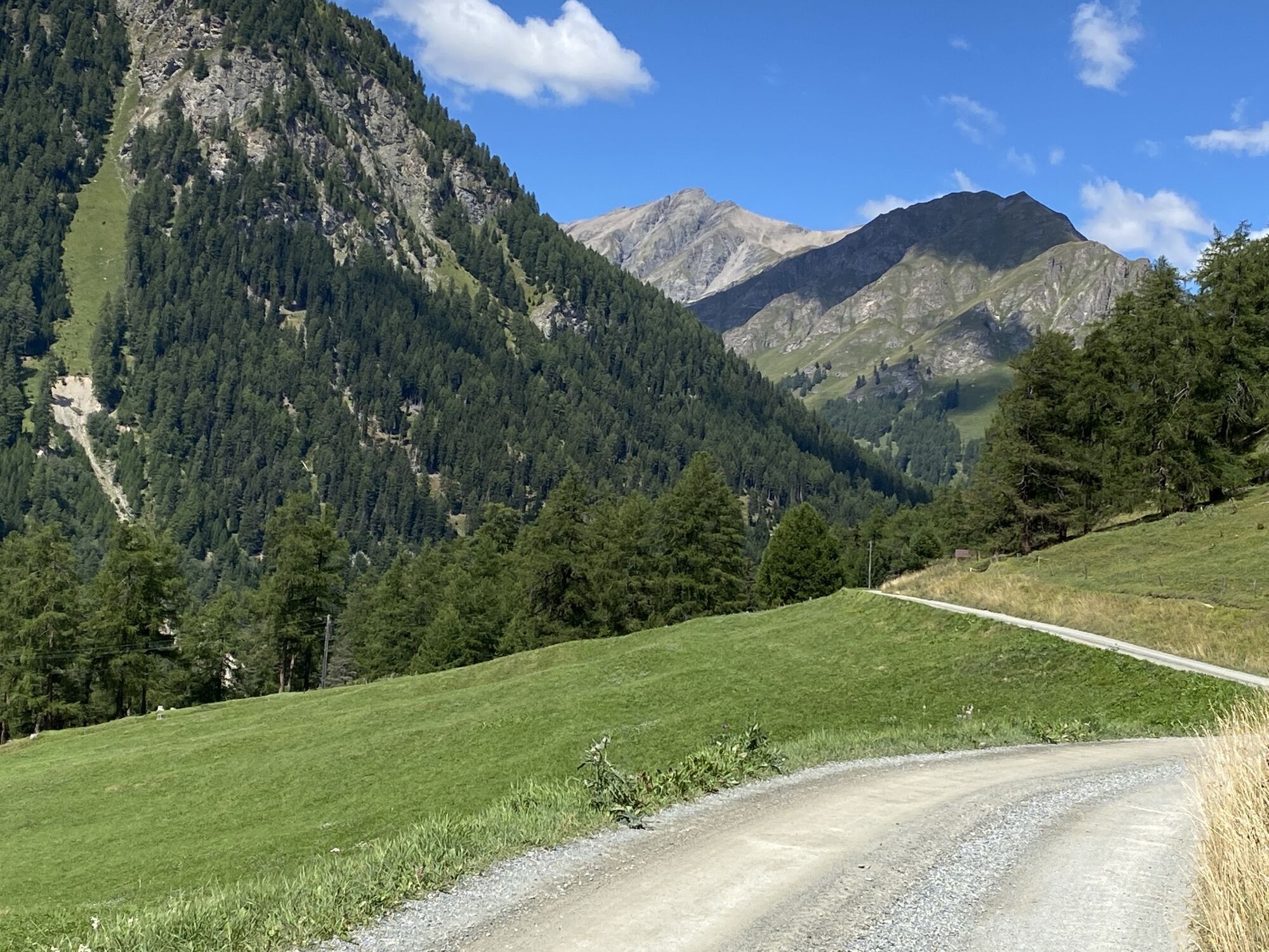
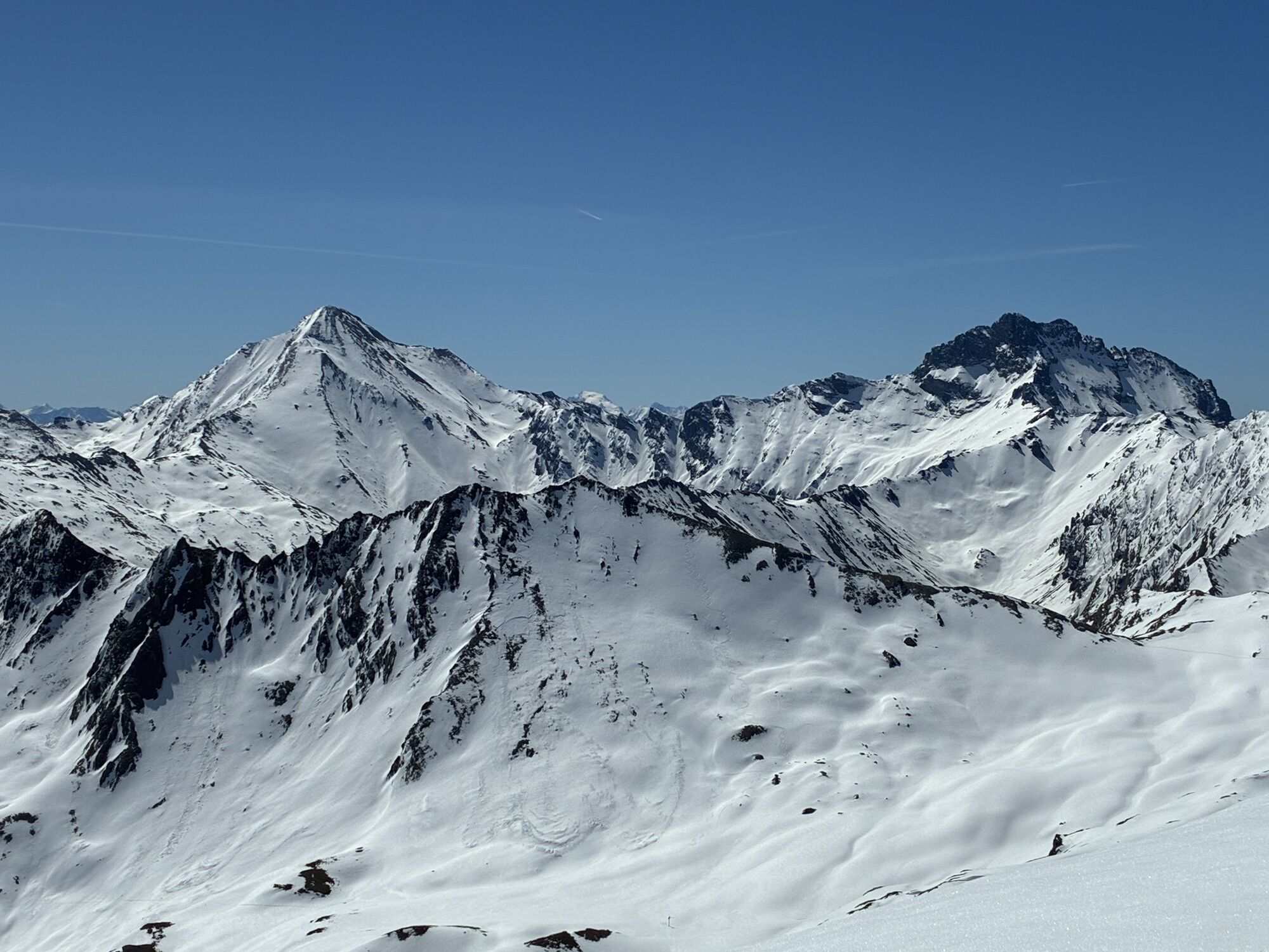
The first 360° panorama awaits at Greitspitz after the first steeper ascent. Then it continues along the Smuggler Trail over the ridge to Salaaser Kopf, where a flow trail leads towards Zeblasjoch. From Seblasjoch, you ride the flowing Vesiltrail down towards Gampenalpe and from there on the forest road to the Heidelberger Hütte. Starting from the Heidelberger Hütte, the route runs towards the Fimberpass: a combination of pushing and riding must be accepted. At the top, experienced and skilled mountain bikers are rewarded with a breathtaking and technically demanding trail. Afterwards, it continues downhill to the end point of the route in Ramosch. The Fimberpass Trail offers exciting and challenging sections embedded in an impressive alpine setting.

Top station Flimsattelbahn – Greitspitz – Salaaser Kopf – Seblasjoch – Vesiltrail – Gampenalpe – Heidelberger Hütte – Fimberpass – Ramosch
Helmet, gloves, good footwear, glasses, rain and sun protection, water bottle, repair kit, first aid kit
The route was rated under favorable weather conditions; current weather conditions and forecasts must be strictly observed before starting the route.
Emergency numbers:
144 Emergency, First Aid
1414 Mountain Rescue REGA
112 International emergency number
Please be considerate when crossing and overtaking hikers.
The Graubünden mountain bike routes run largely on single trails which are also marked as hiking paths. Hikers always have right of way.
From the north: via Landquart – Klosters by car shuttle through the Vereina tunnel (Selfranga - Sagliains) or via the Flüela Pass into the Lower Engadin on H27, turn left from Vinadi towards Samnaun
From the east: via Landeck / Austria towards Reschenpass on the B180, from Kajetansbrücke towards Spiss – Samnaun on the L348
From the south: via Reschenpass to Kajetansbrücke, then towards Spiss – Samnaun on the L348
By the Rhaetian Railway (from Chur, Landquart/Prättigau or from the Upper Engadin) hourly to Scuol-Tarasp station
Further by PostBus to Samnaun-Ravaisch valley station of the cable cars
In Samnaun, hourly service during the day with the Samnaun bus
Free public parking at the valley station of the Samnaun cable cars in Samnaun-Ravaisch
S3
Popularne wycieczki w okolicy
- 5,0
Menta Alm - Scheibenalm
światłoWędrówka 11,4 km - 4,7
Jamtal lodge
średniWędrówka 19,6 km - 4,3
Sonnenkogel - Friedrichshafener lodge
średniWędrówka 13,2 km - 5,0
Rundwanderung Berglisee, Mathon
ciężkiWędrówka 11,1 km - 5,0
Samnaun Dorf – Muttler
ciężkiWędrówka 14,8 km - 5,0
Alpkogelbahn mountain station - Kops reservoir - Zeinisjoch - Galtür
światłoWędrówka 15,7 km - 4,7
Around the Flimspitz from Alptrider Sattel
średniWędrówka 8,57 km - 4,5
Tarasp Fontana – Sparsels – Lai Nair (circular route)
światłoWędrówka 7,67 km - 4,5
Ski tour Hennekopf (2,704 m)
średniWycieczka narciarska 4,17 km - 5,0
San Jon – Chamonna Lischana (return)
średniWędrówka 12,0 km
Wędrówki i tropienie


Nie przegap ofert i inspiracji na następne wakacje
Twój adres e-mail została dodana do listy mailingowej.