







Arosa Bahnentour
Poziom trudności: S3
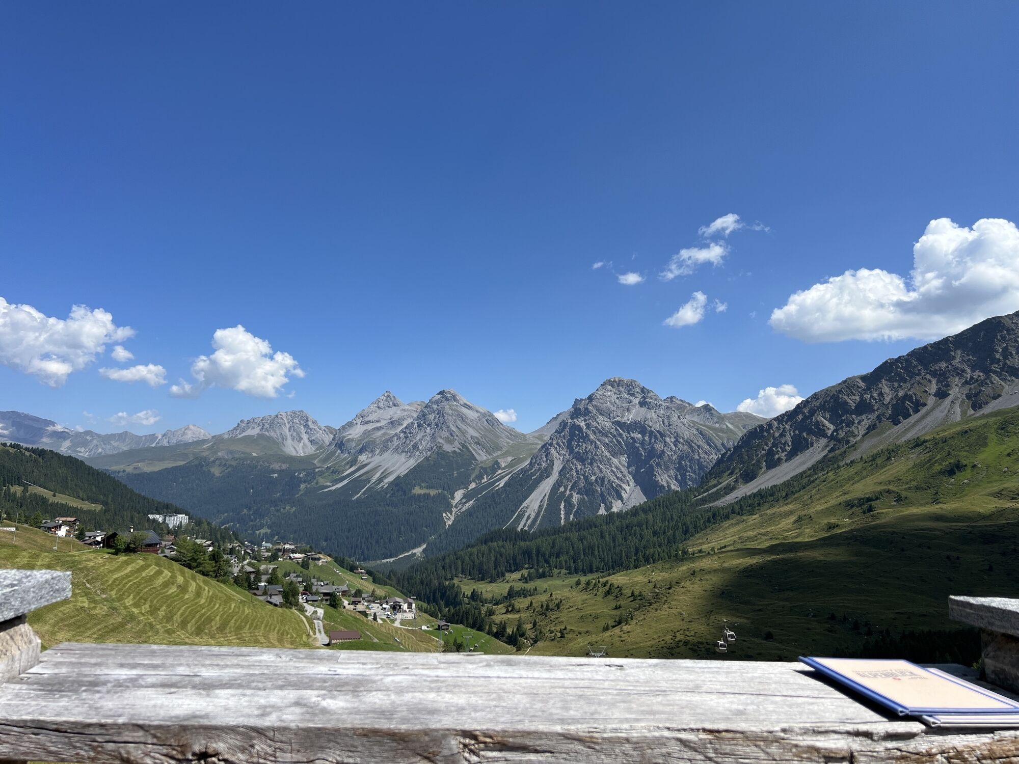
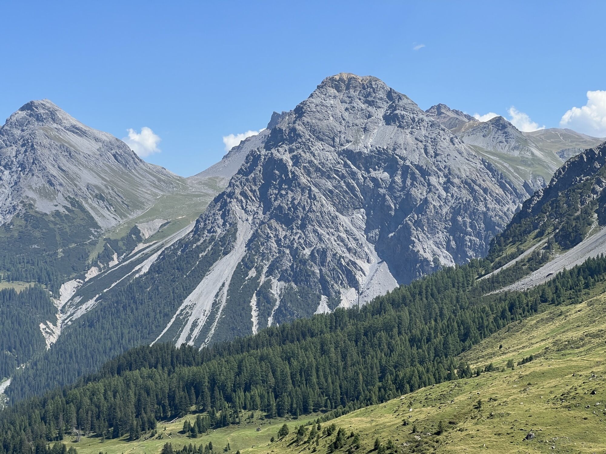
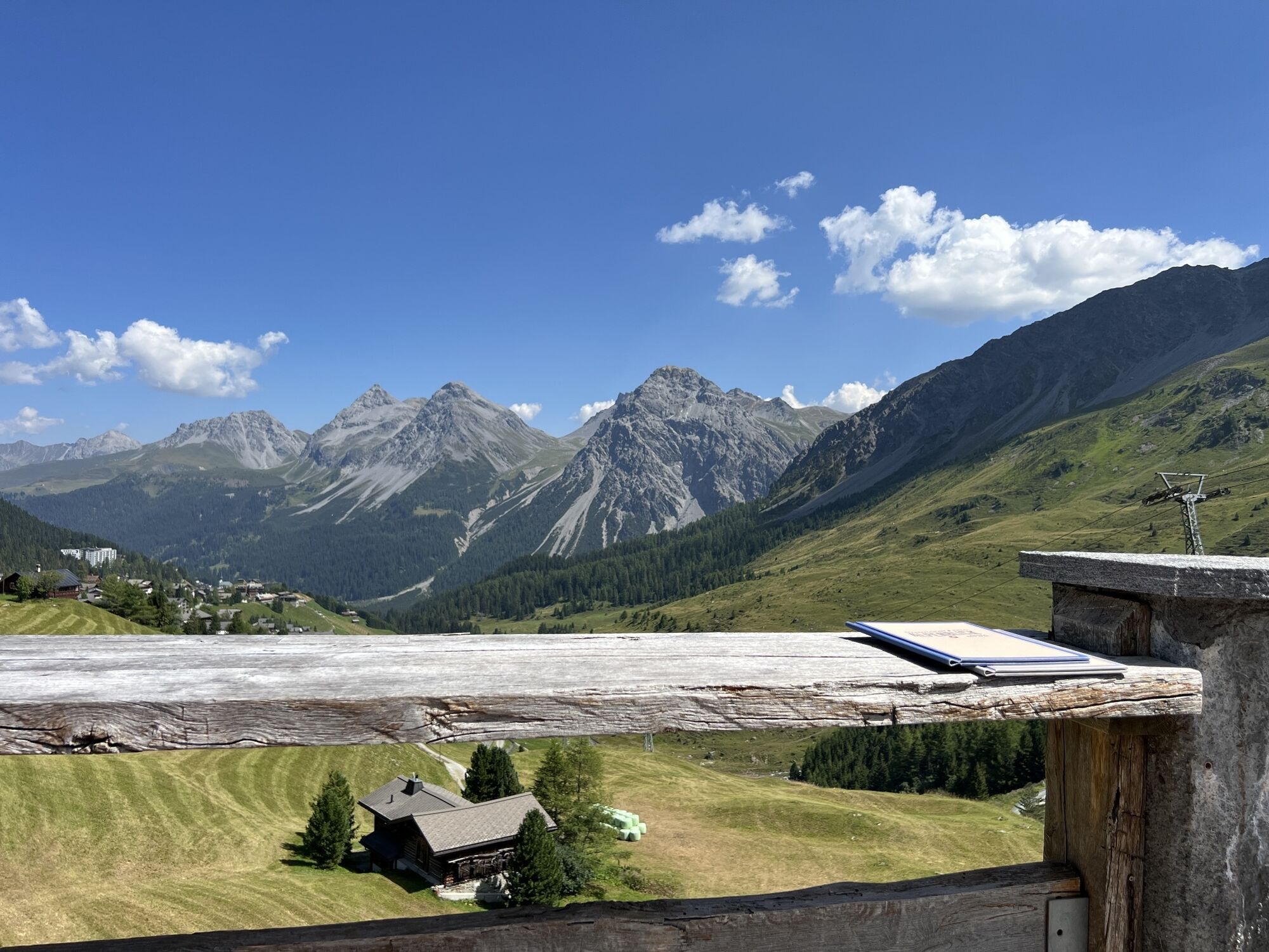
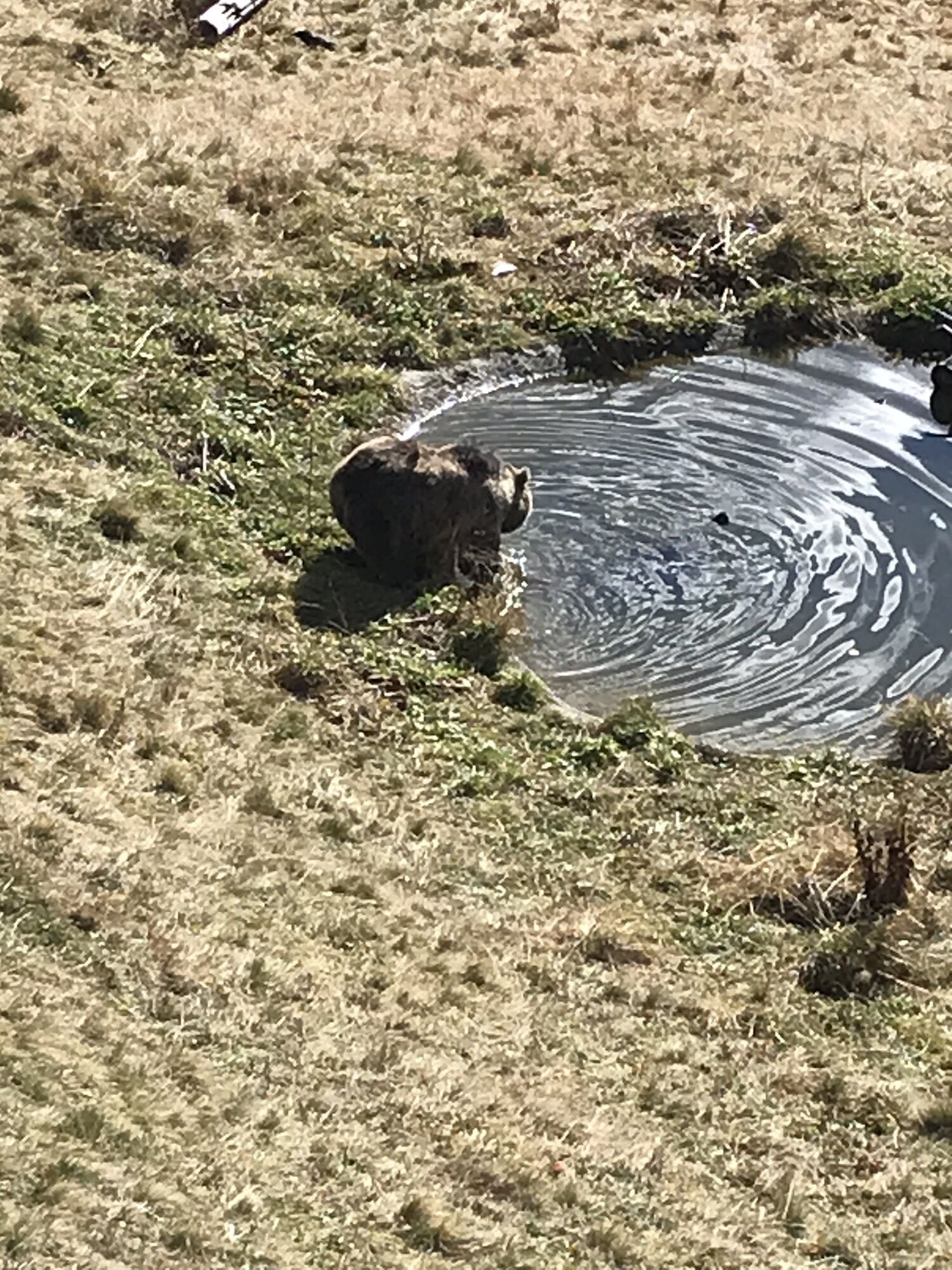
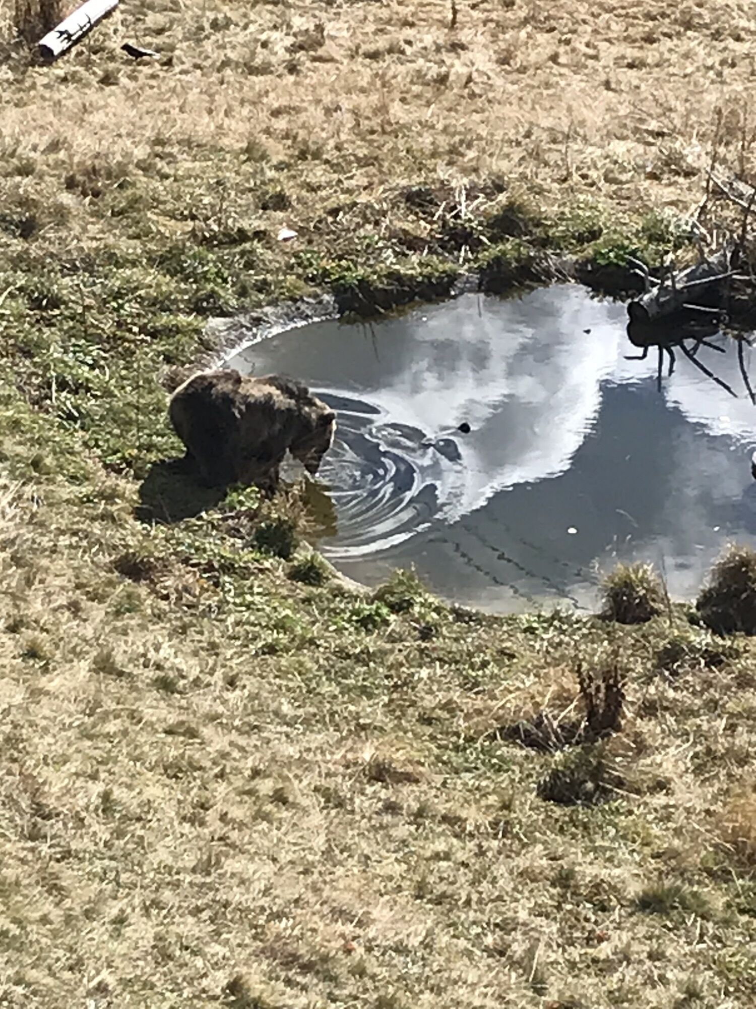
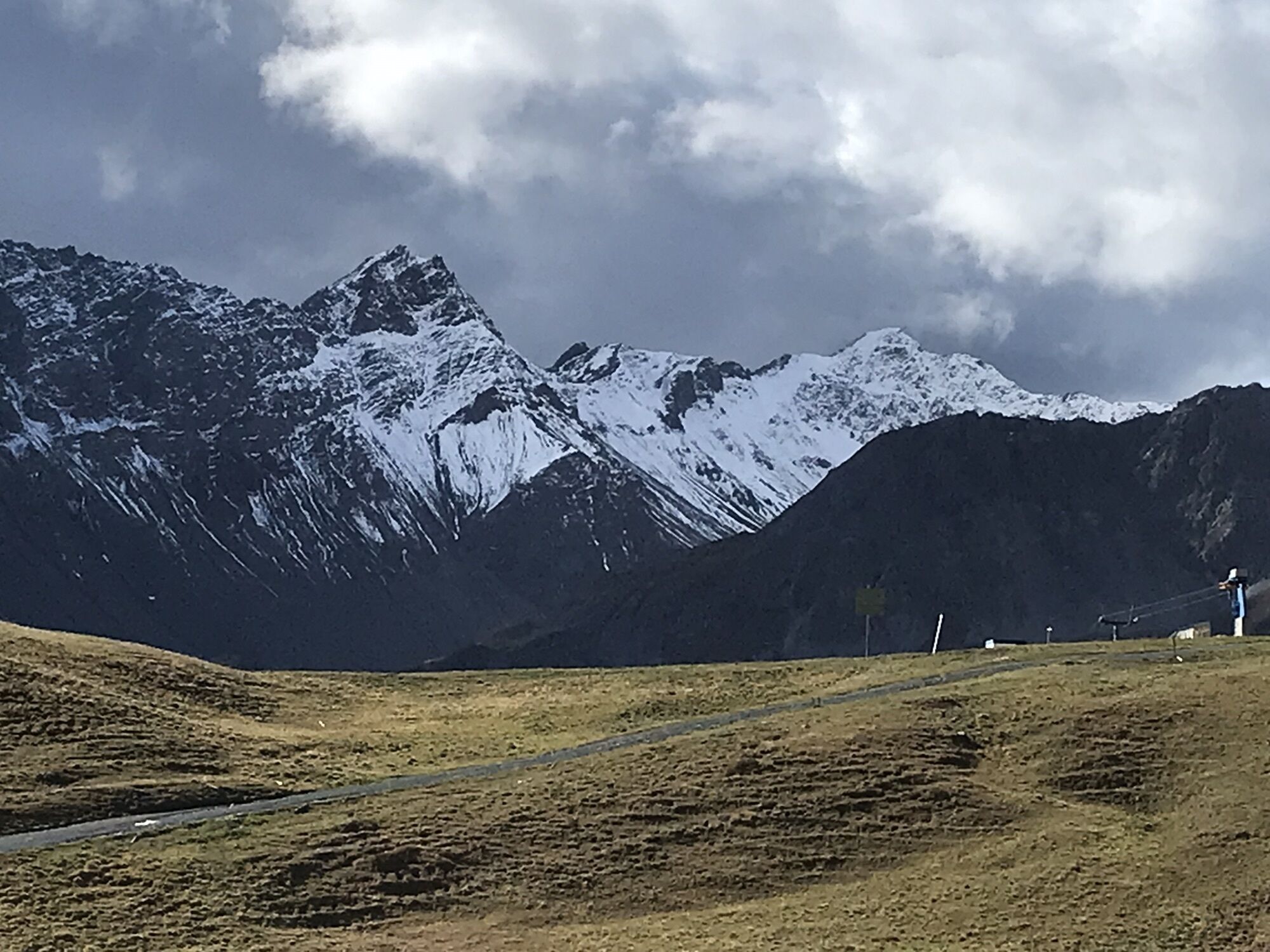
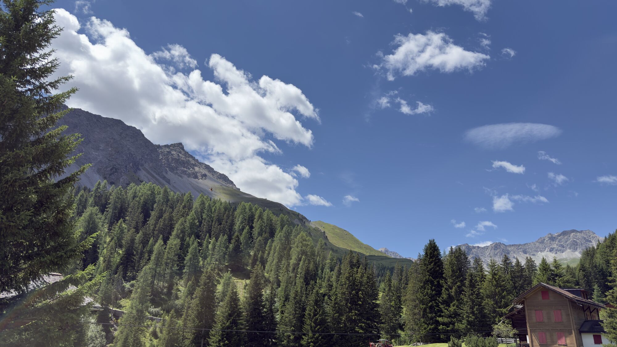
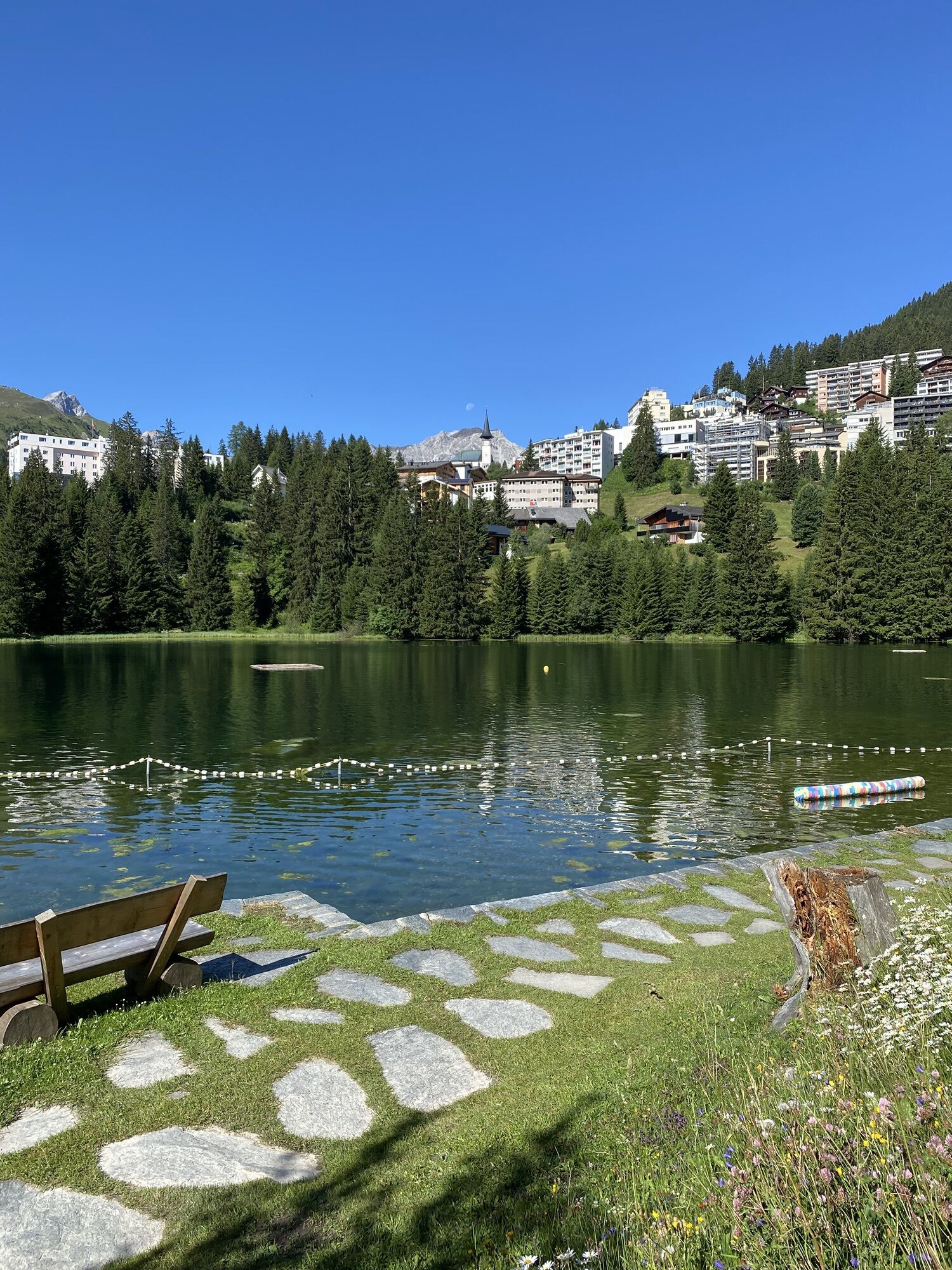
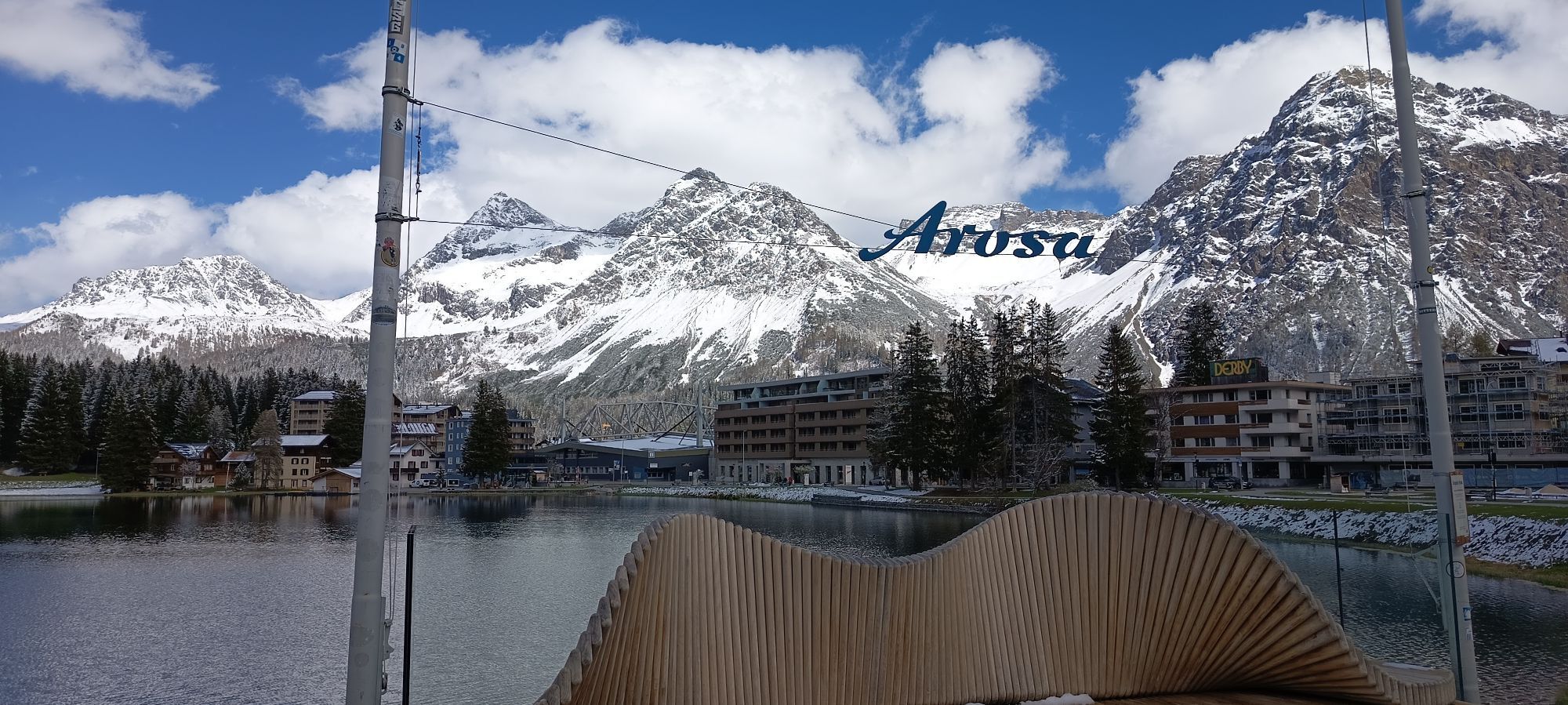
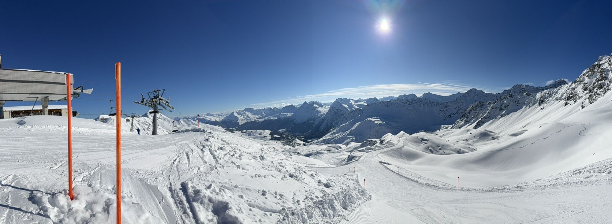
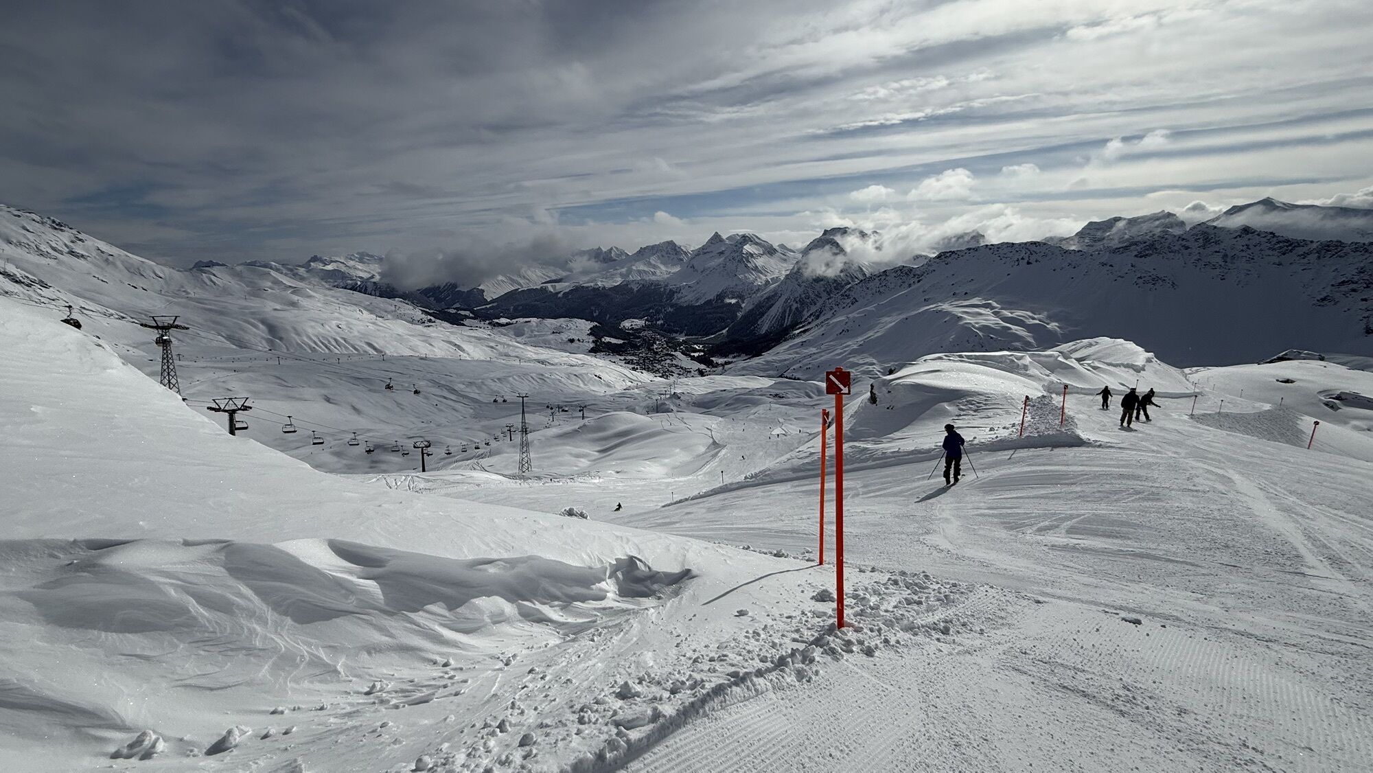
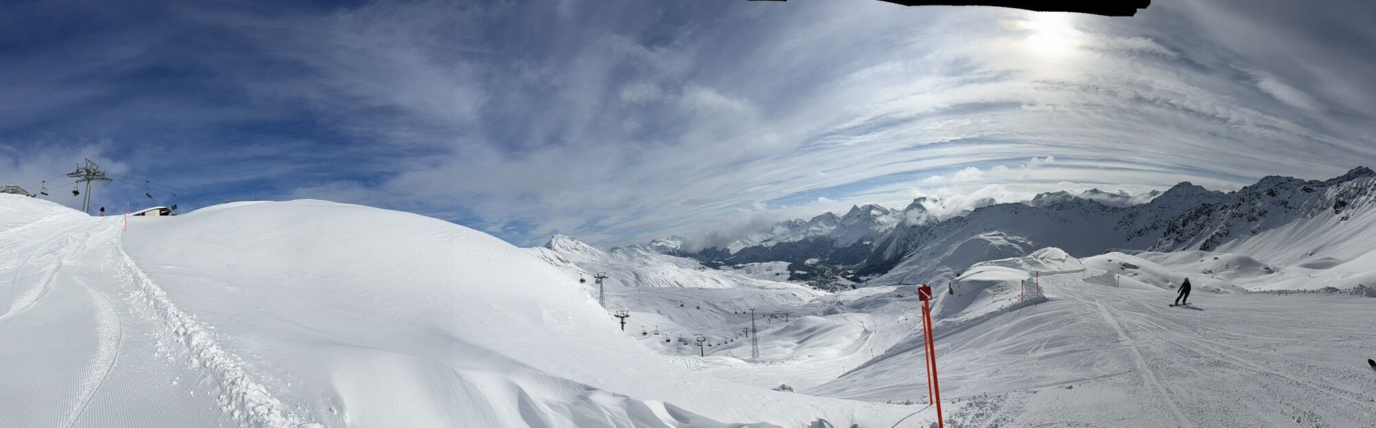
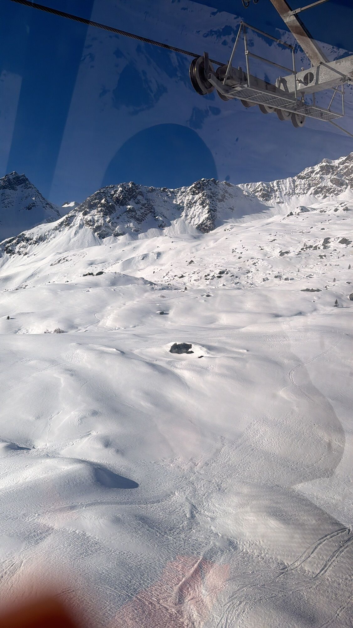
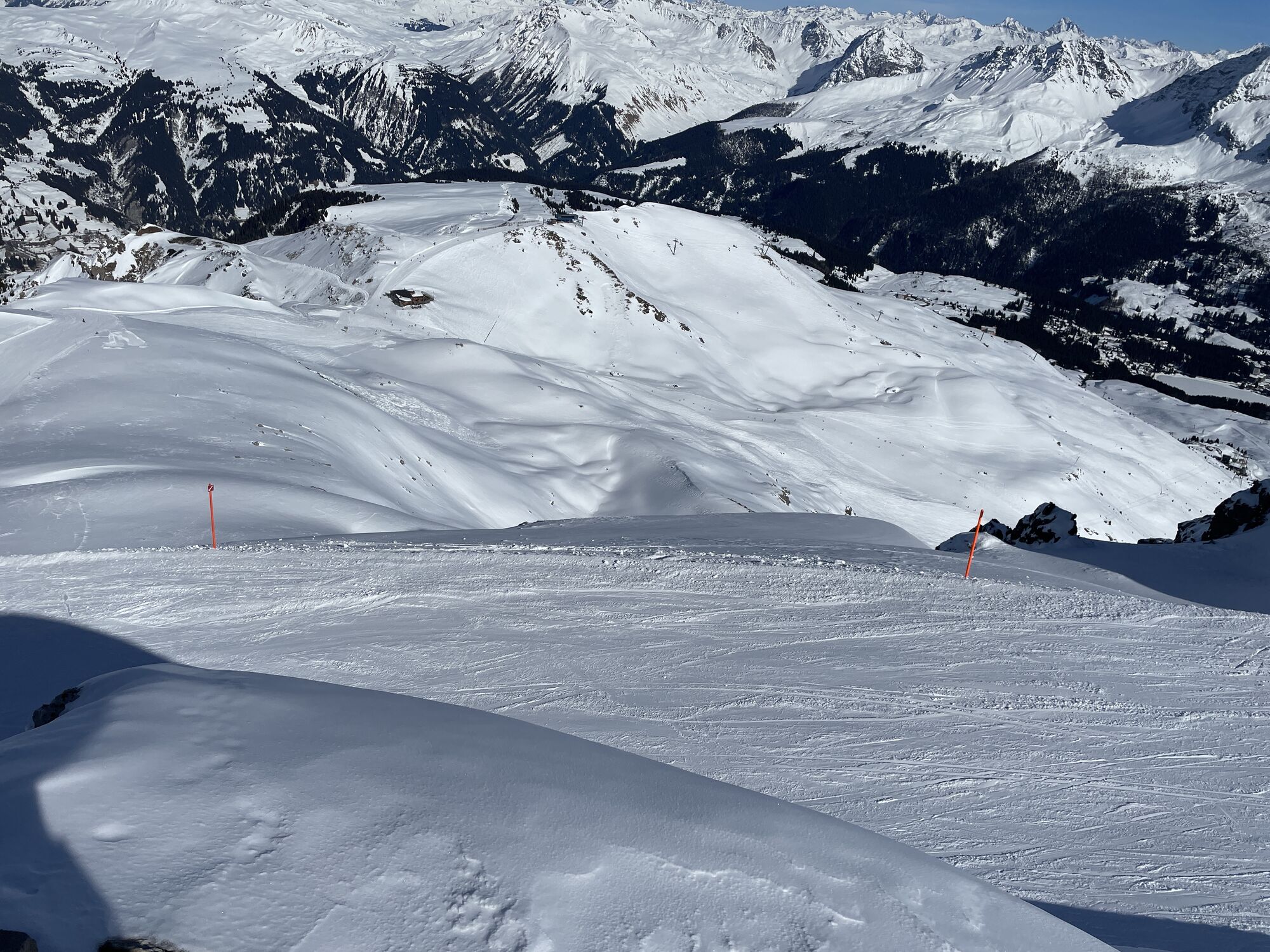
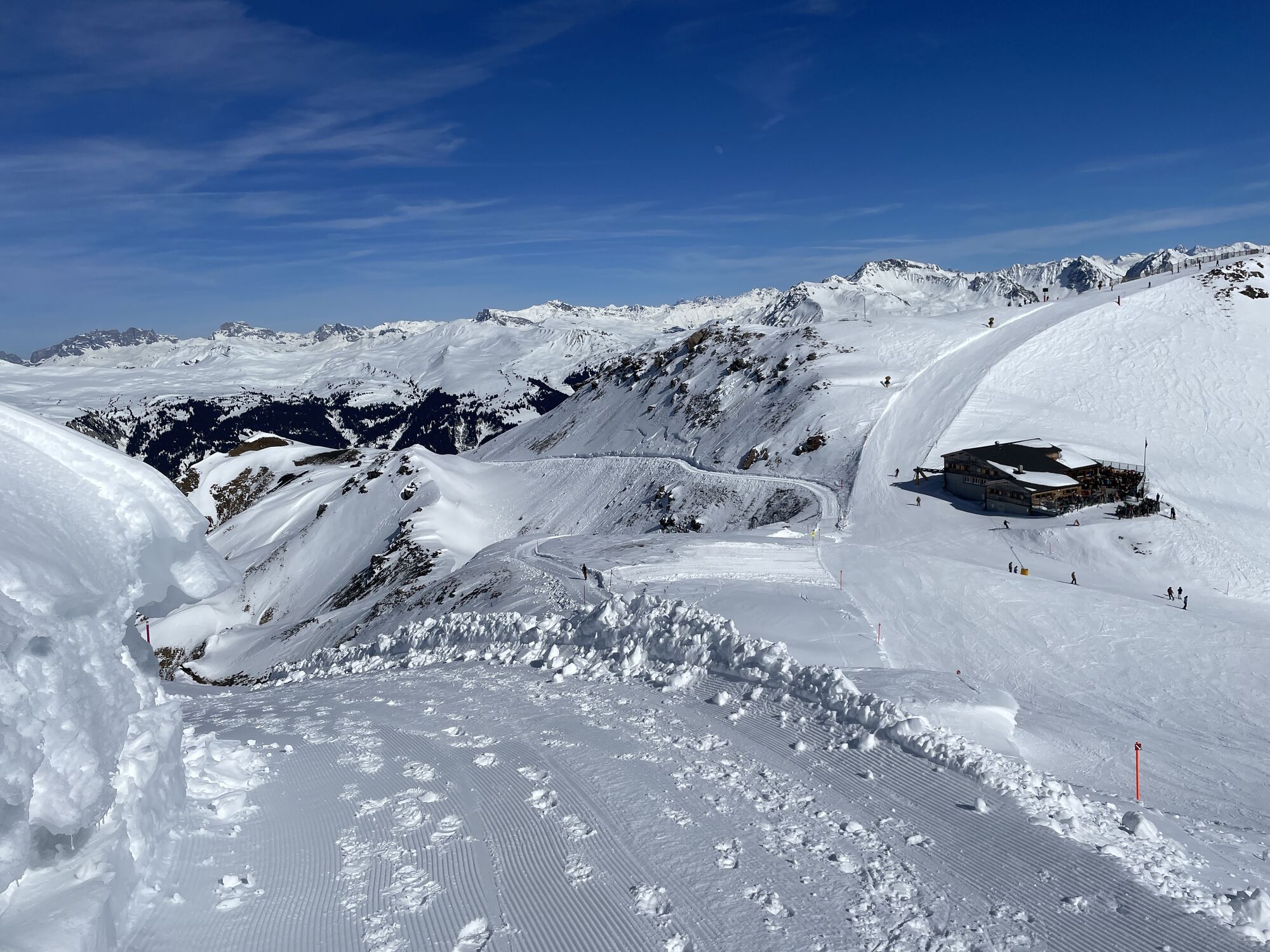
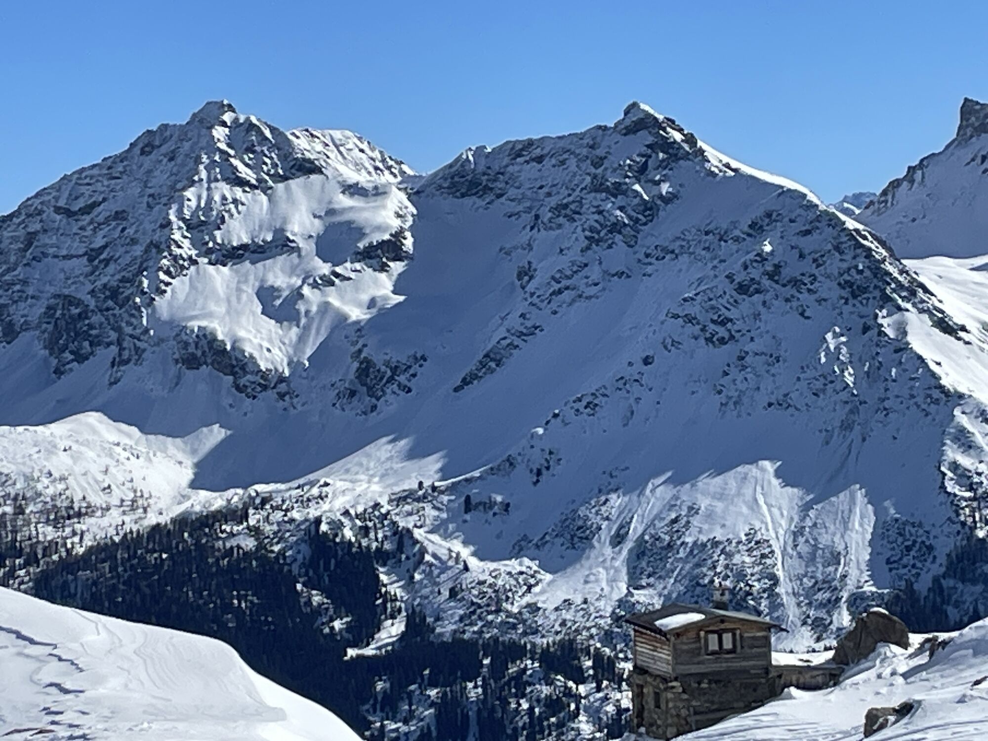
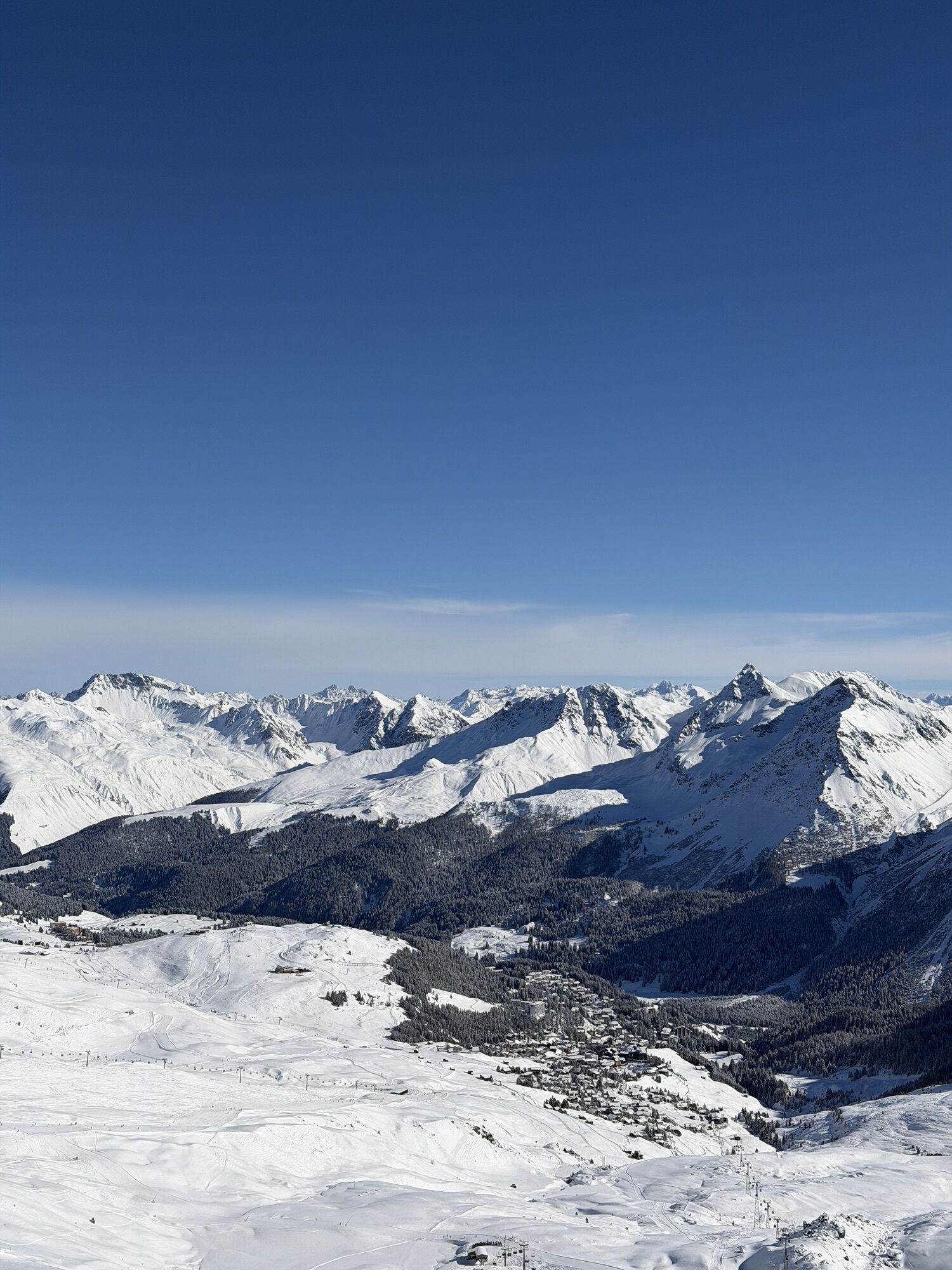
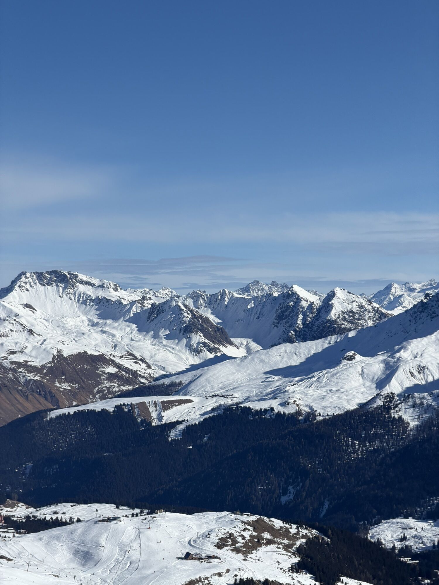
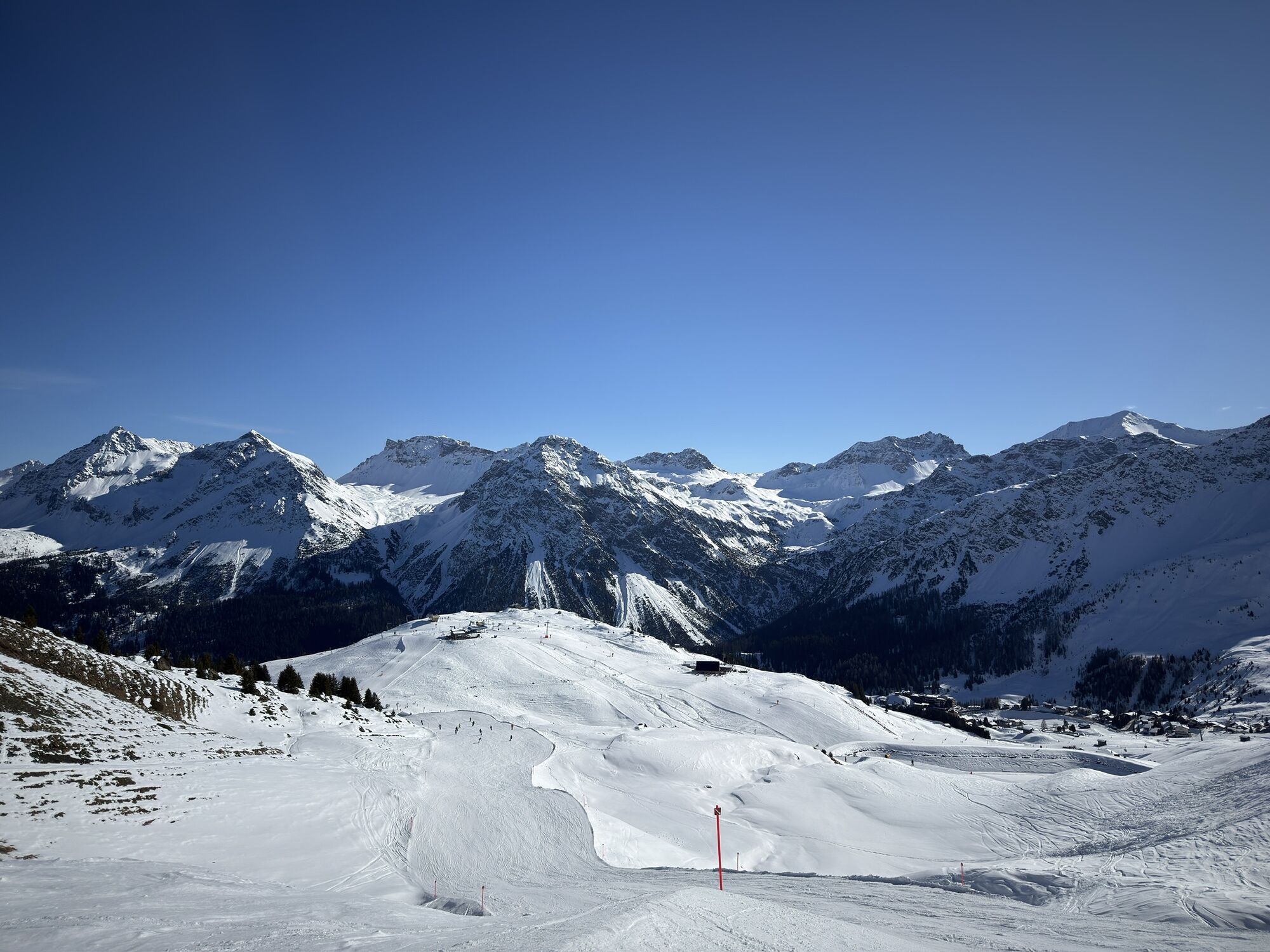
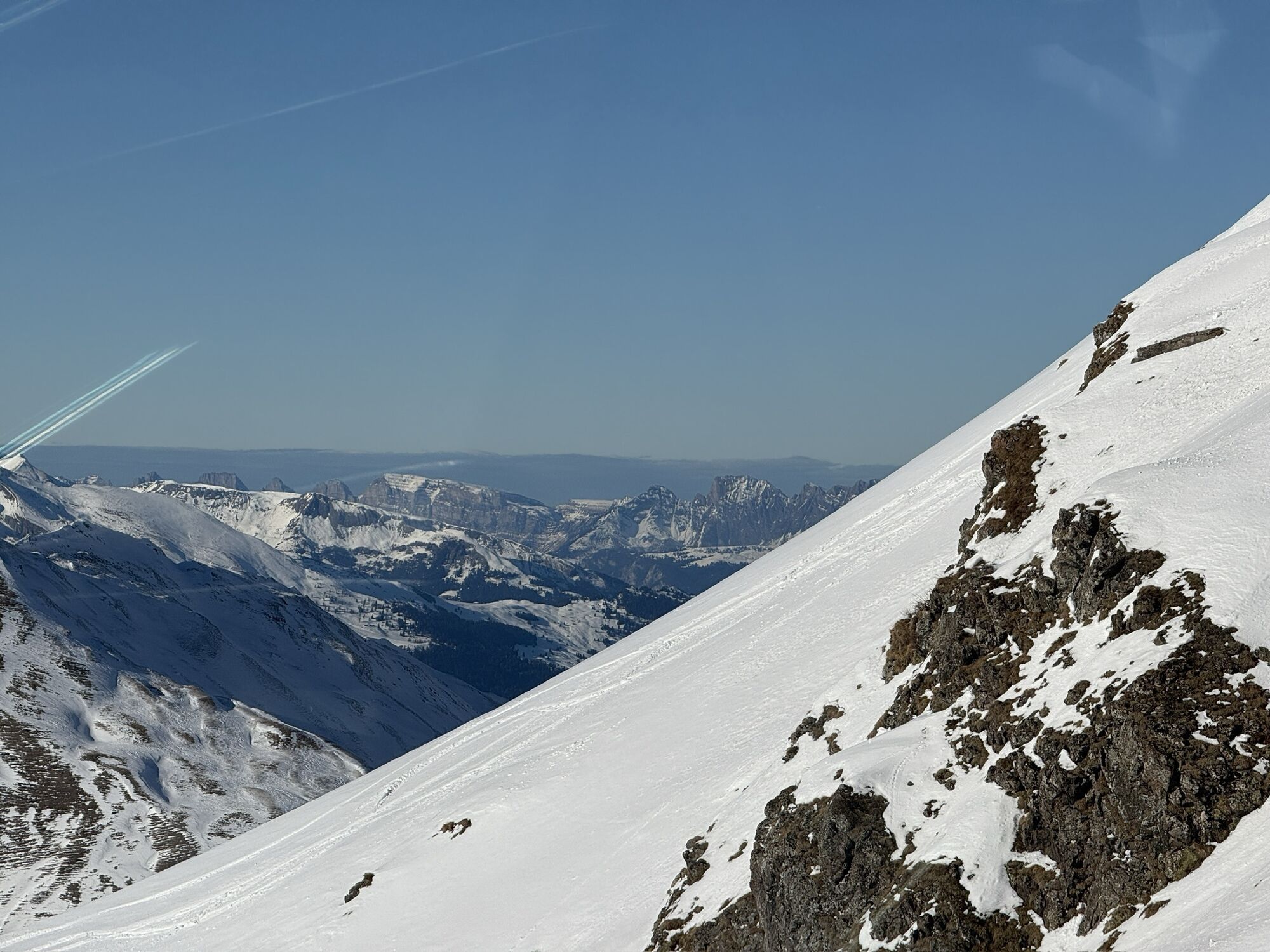
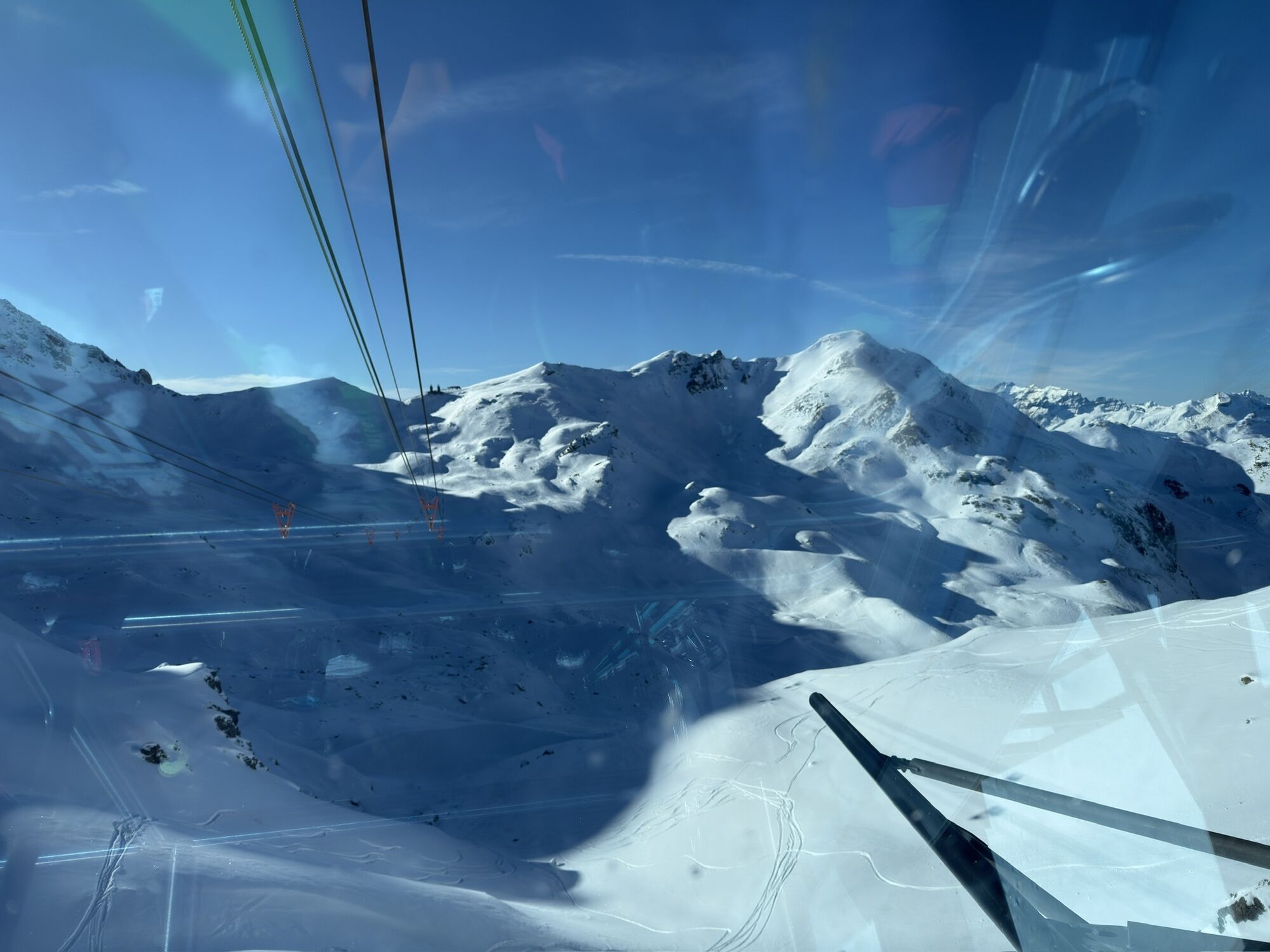
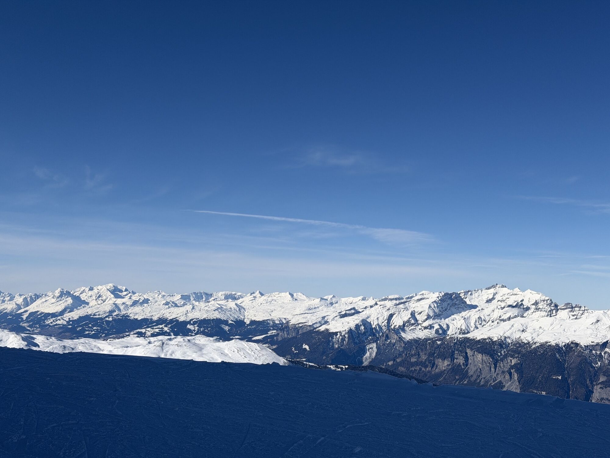
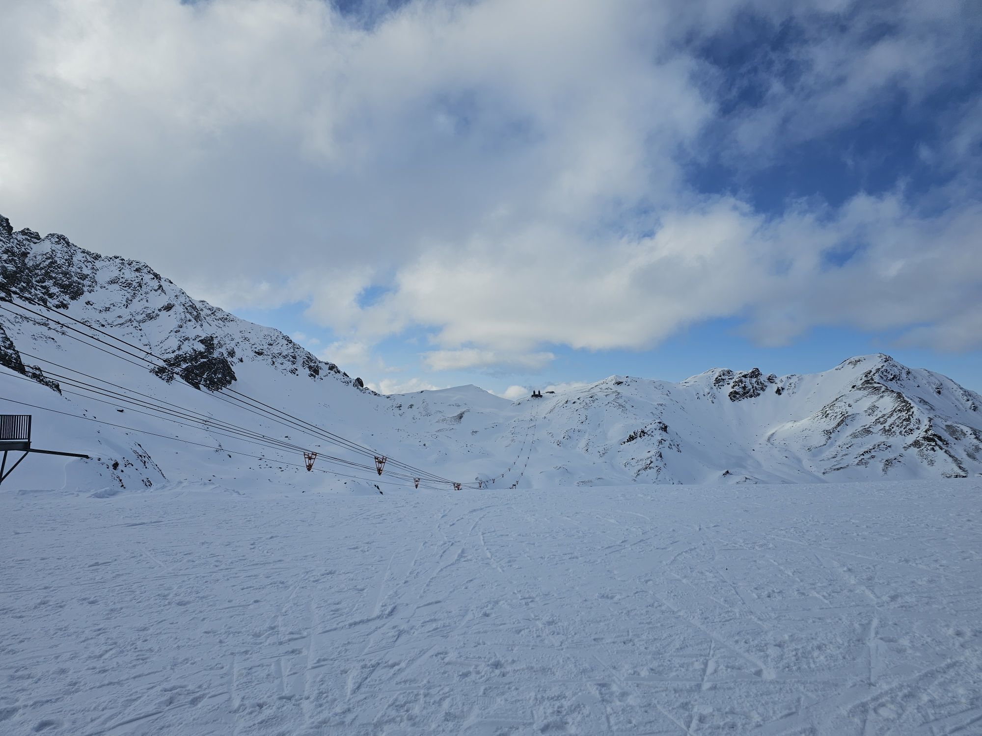
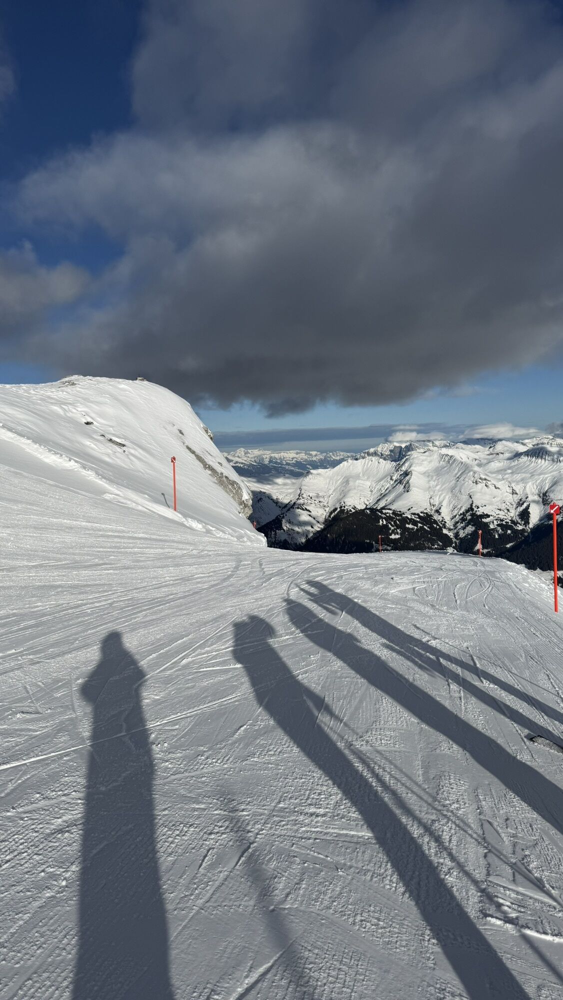
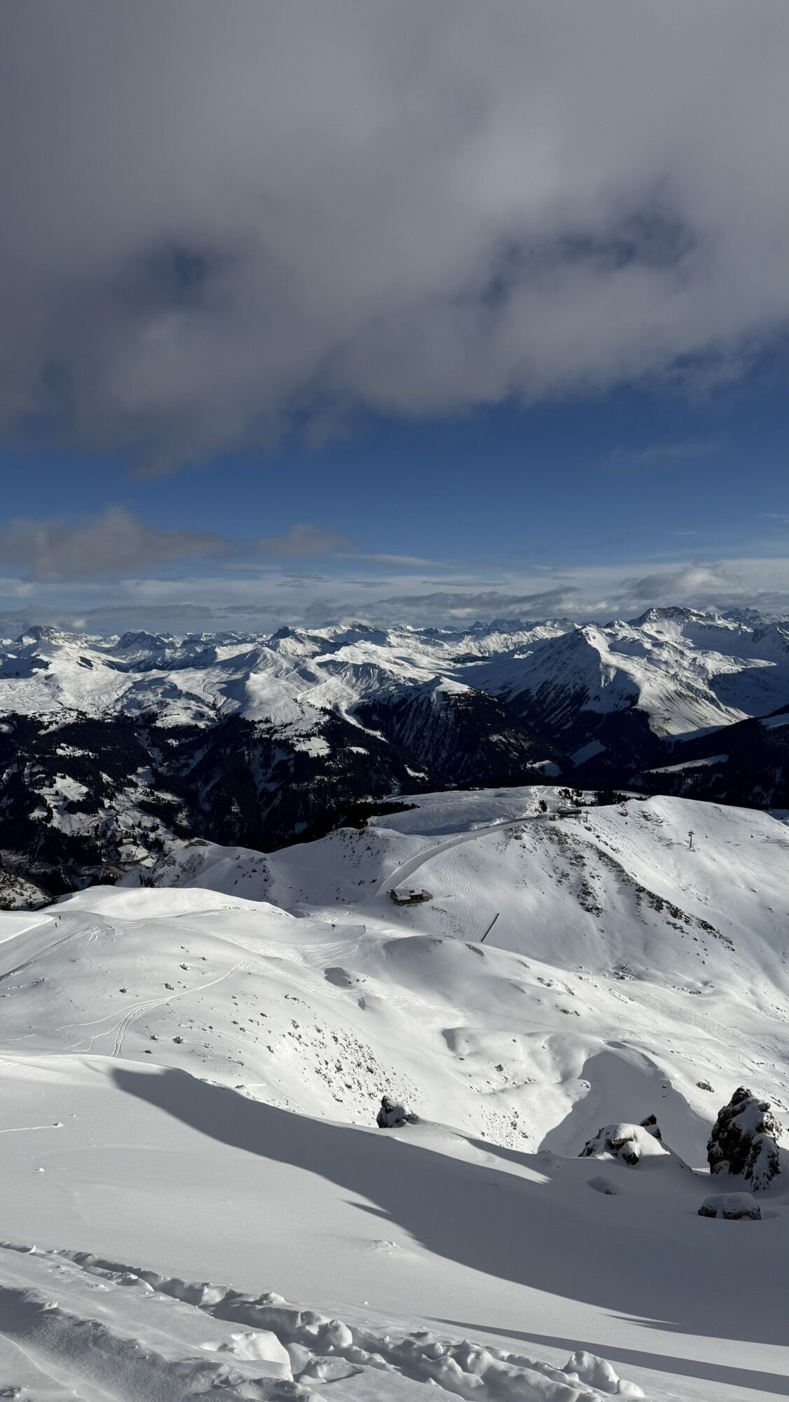
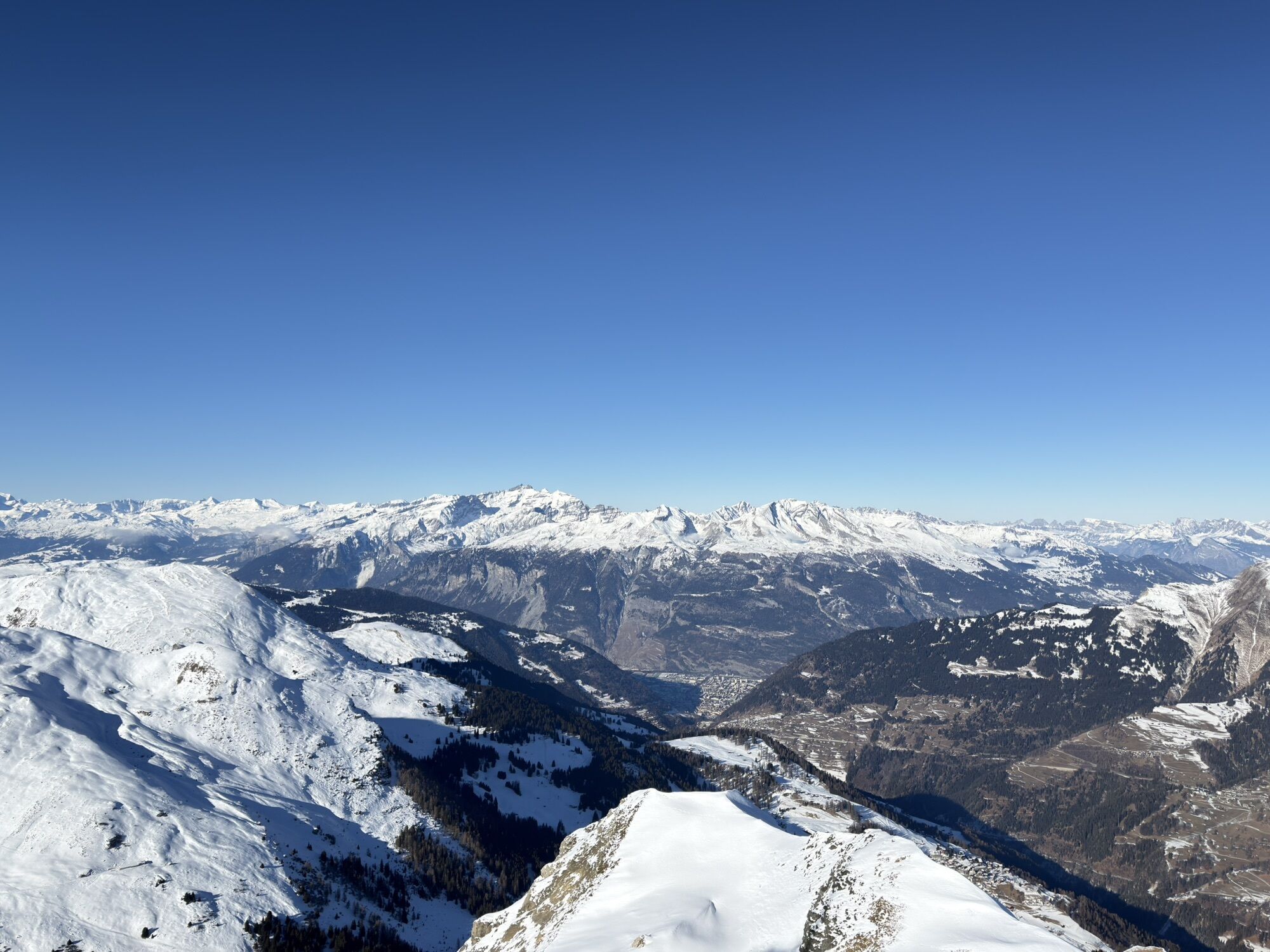
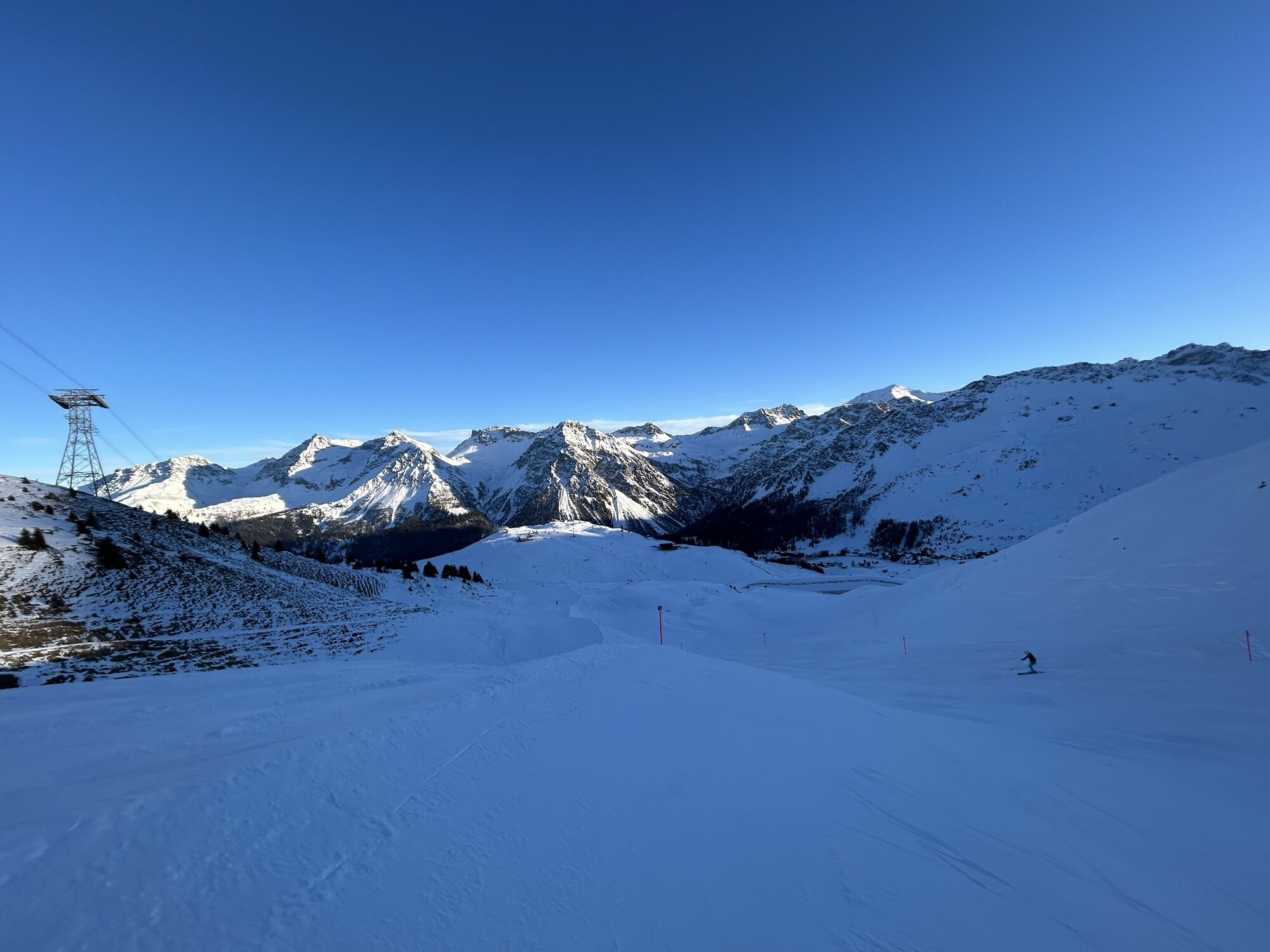
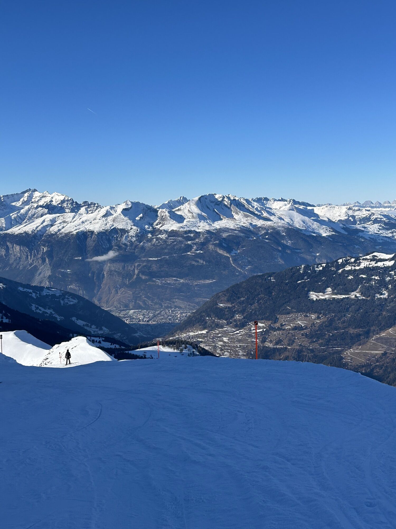
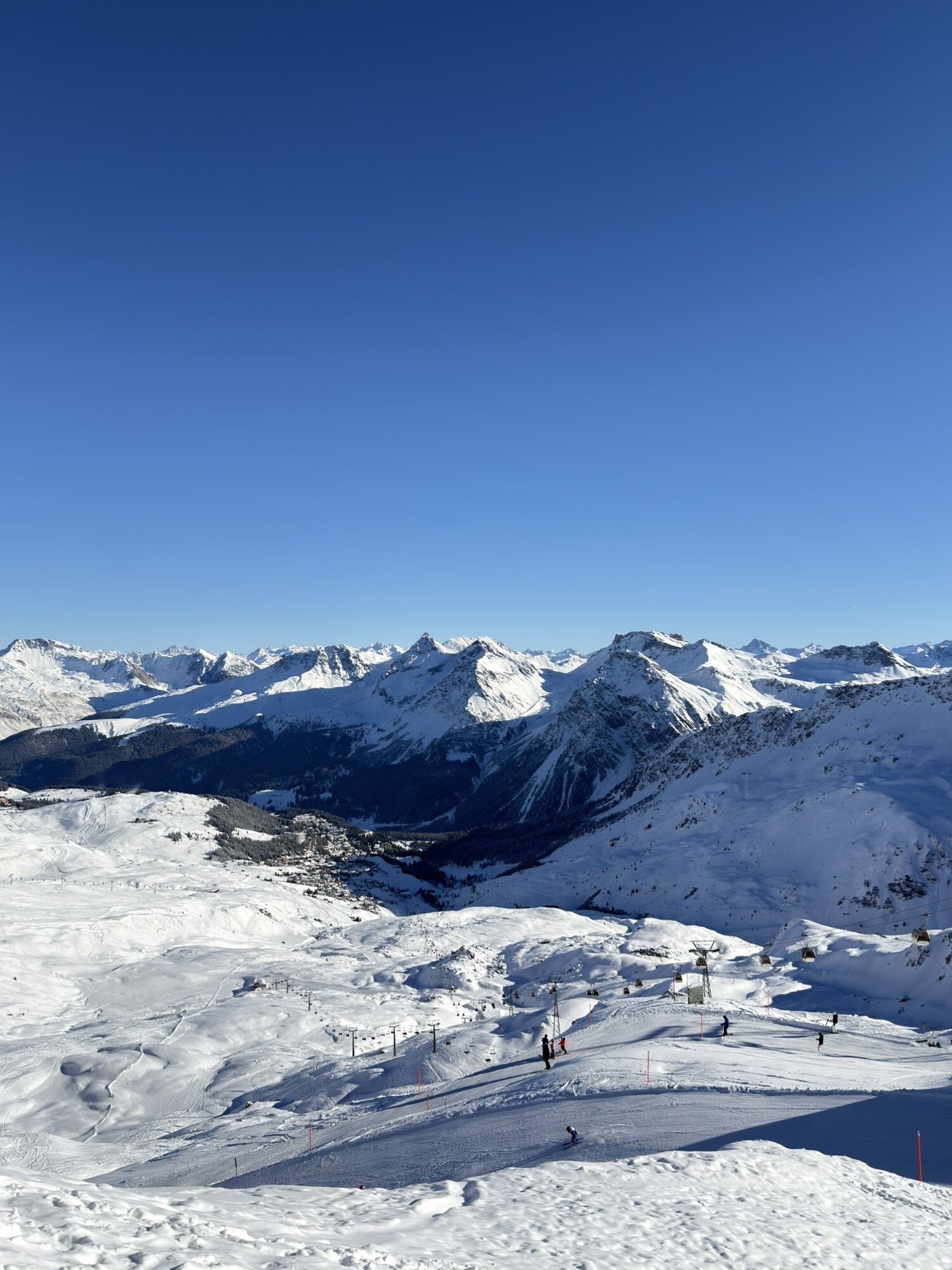
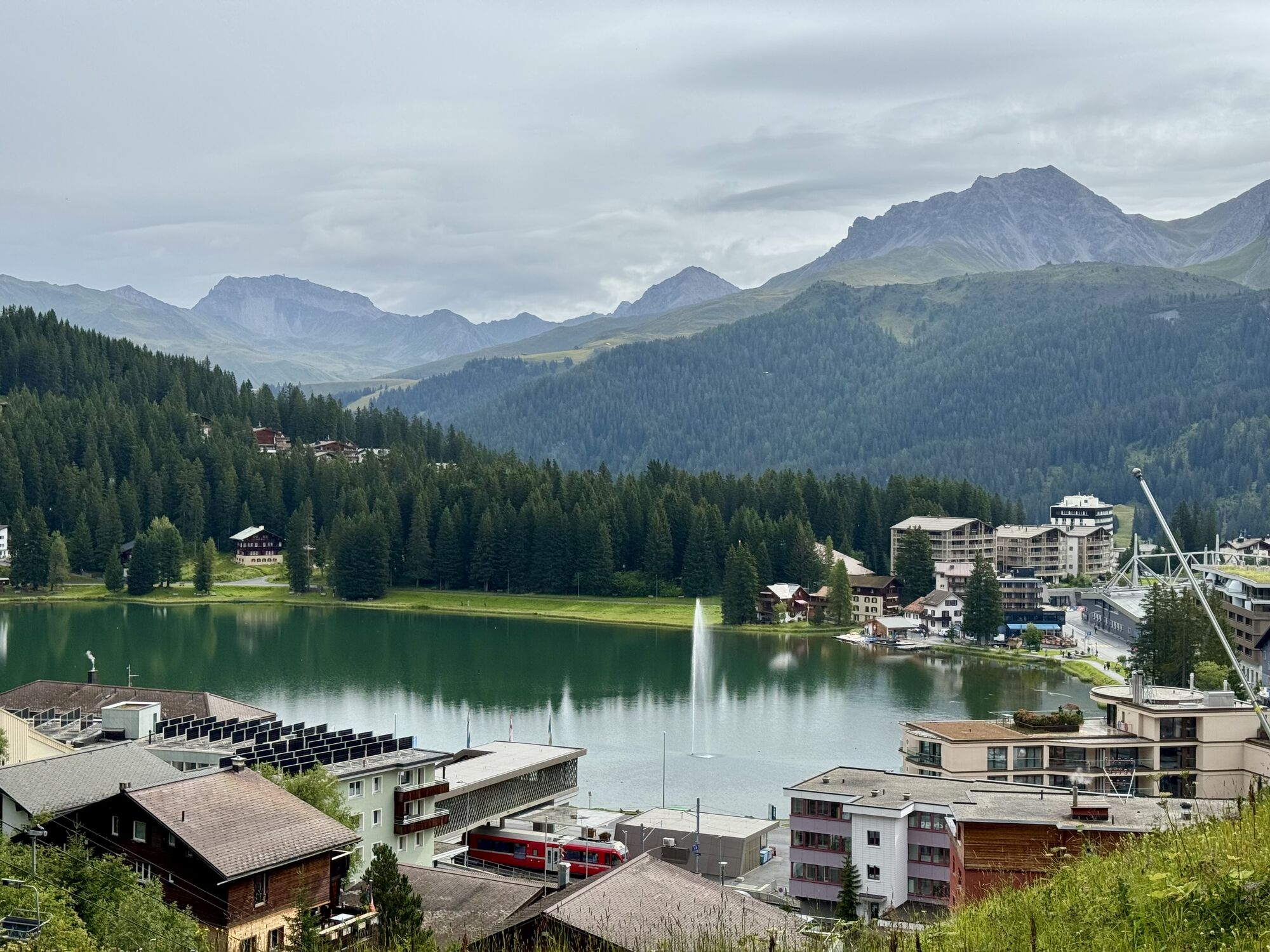
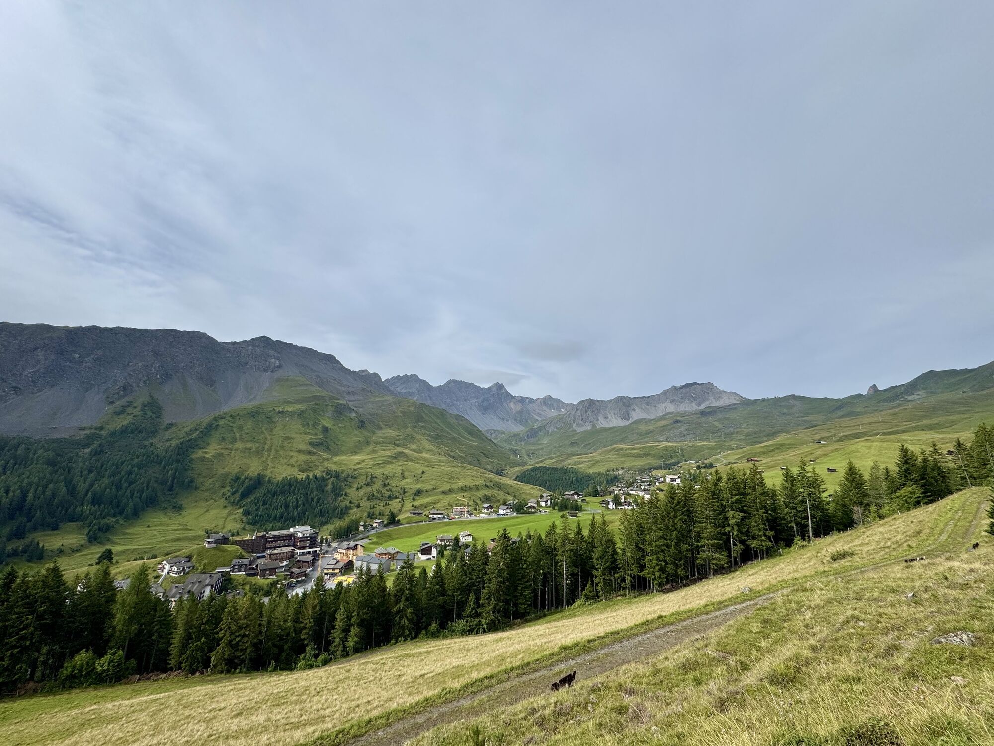

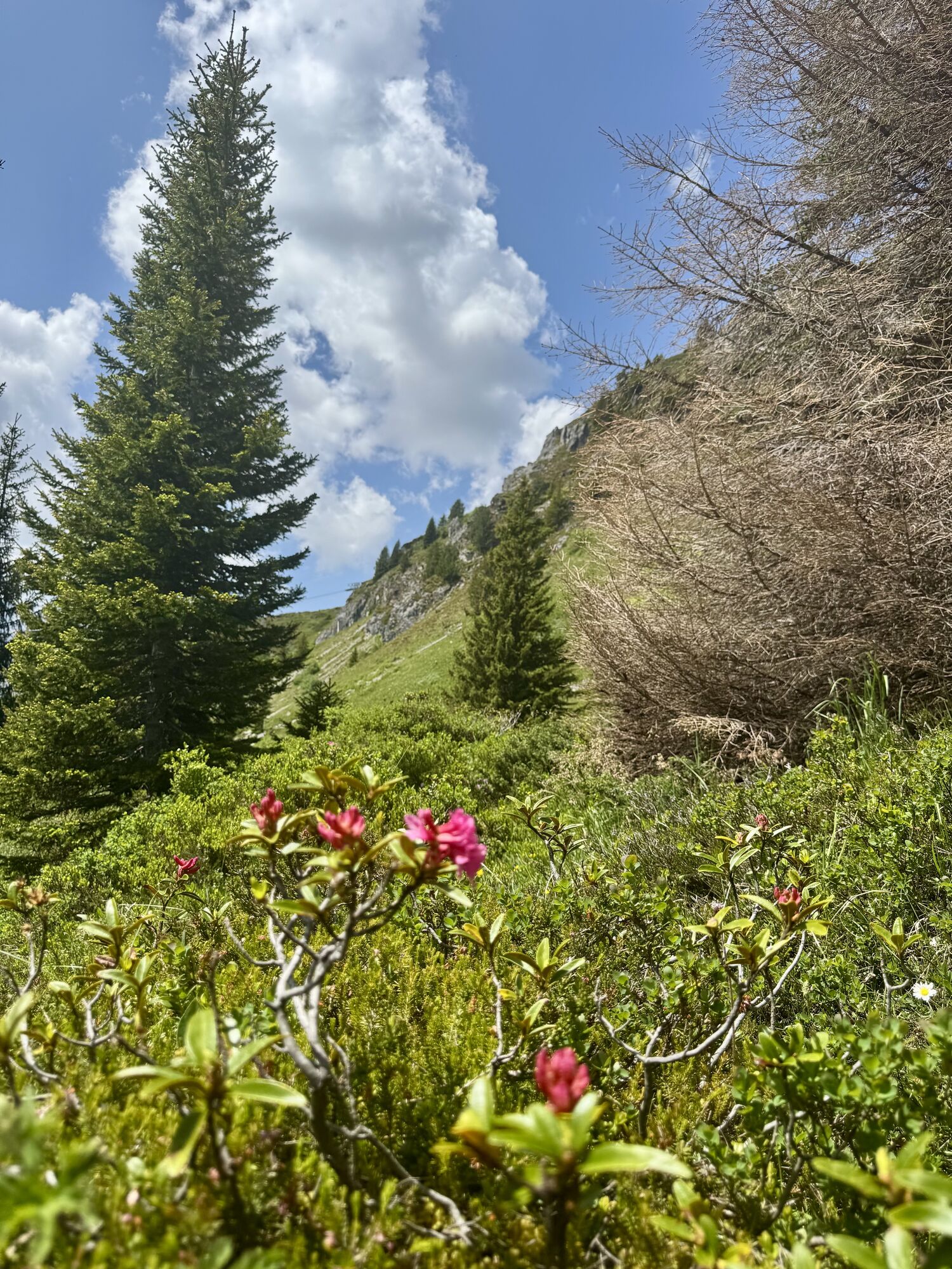
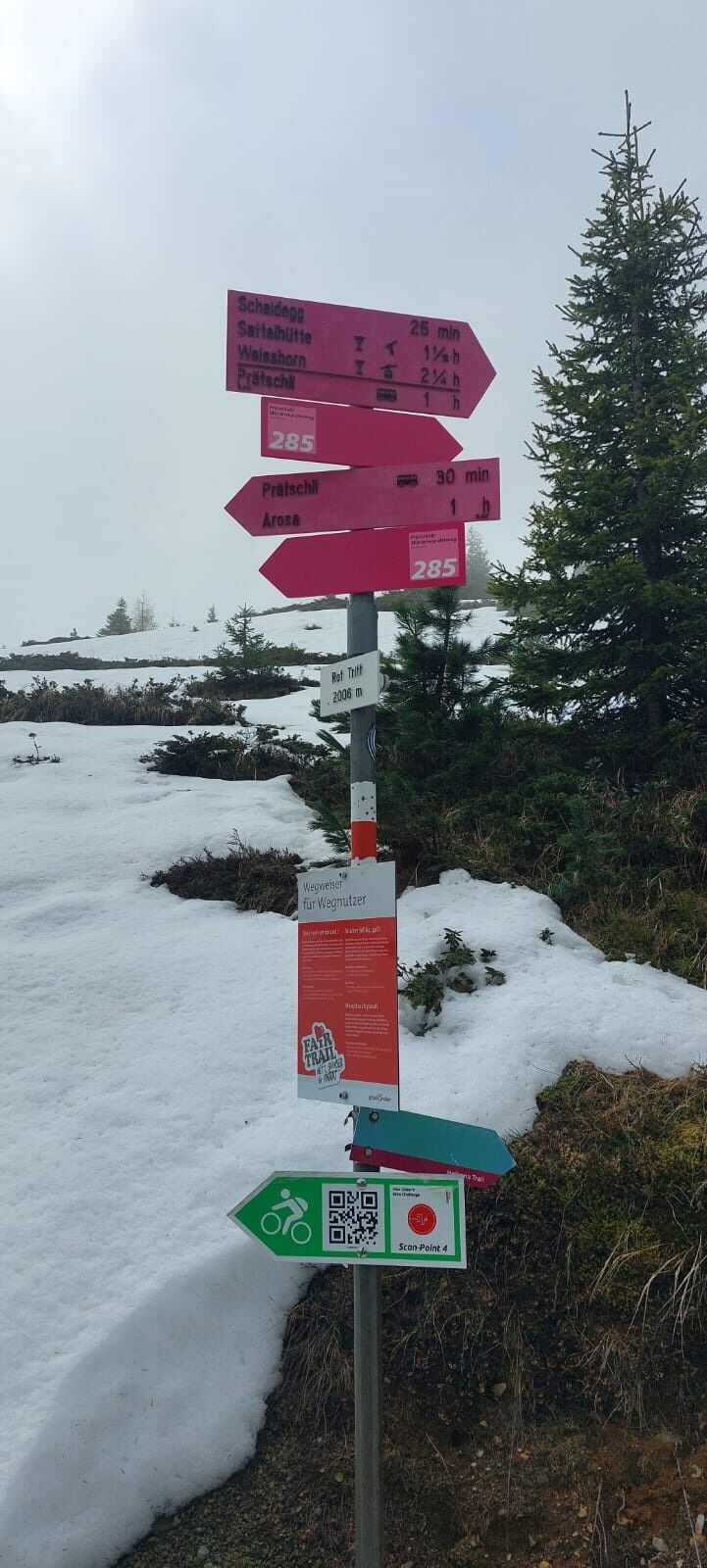
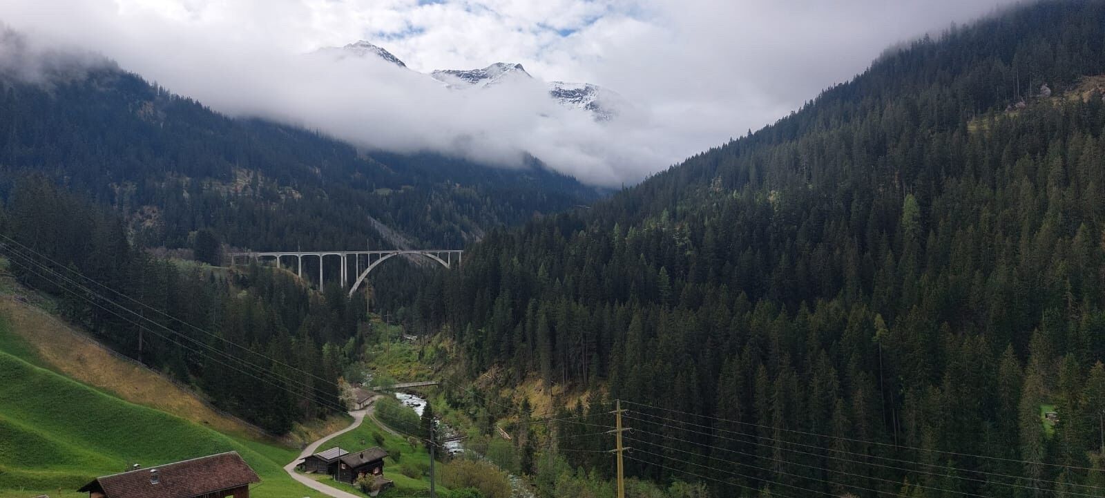
The Arosa Bahnentour offers everything that an enduro enthusiast desires. The Hörnli Trail offers complete flow. Down to Isla you enjoy fun single trails, and as a crowning glory you enjoy the beautiful...
The Arosa Bahnentour offers everything that an enduro enthusiast desires. The Hörnli Trail offers complete flow. Down to Isla you enjoy fun single trails, and as a crowning glory you enjoy the beautiful descent from Weisshorn to the mid-station. A special highlight is the trail from Hauptichopf to the mid-station. From there many paths lead back to the village. The "old Kirchliweg" marked on this route is however a particularly beautiful conclusion to the route.

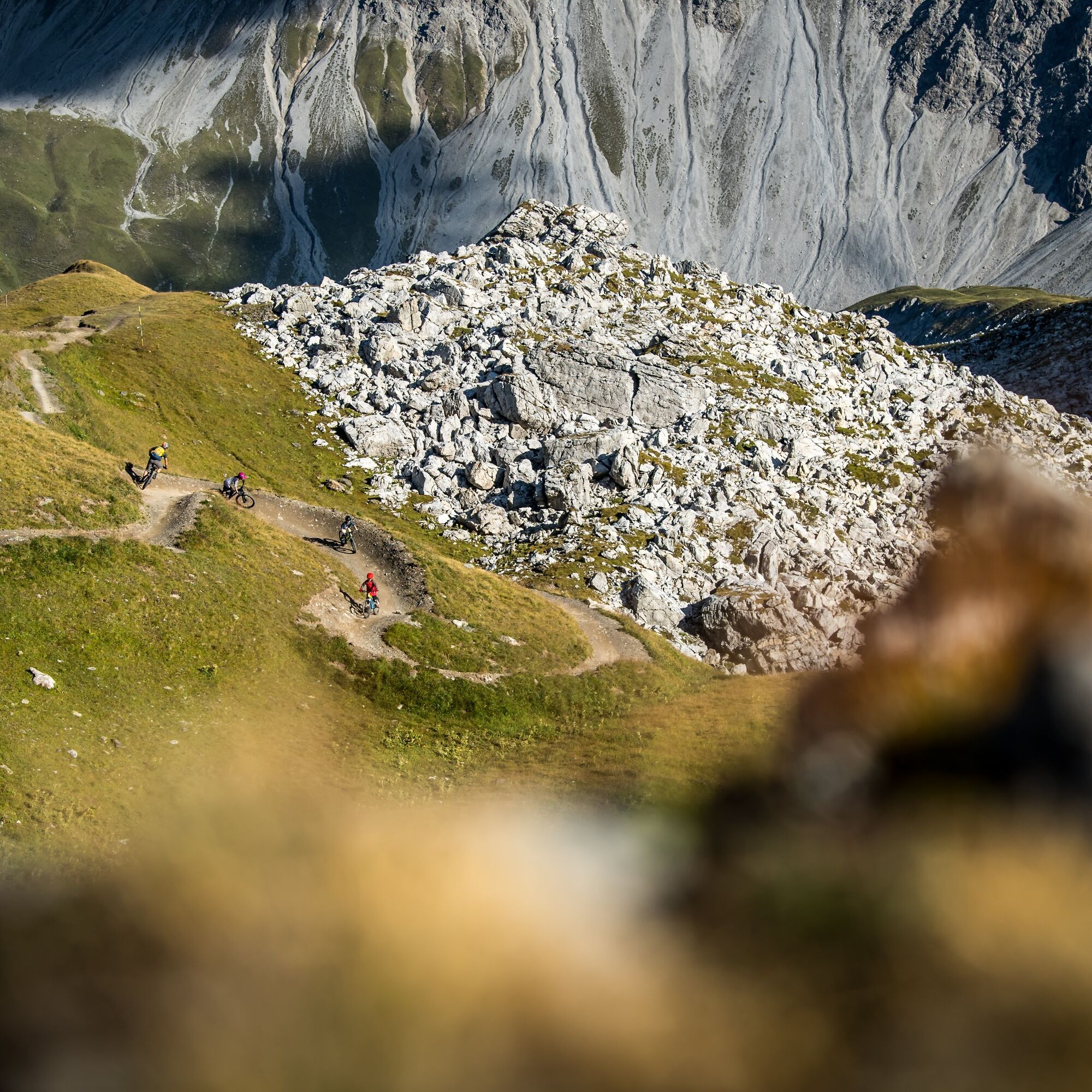
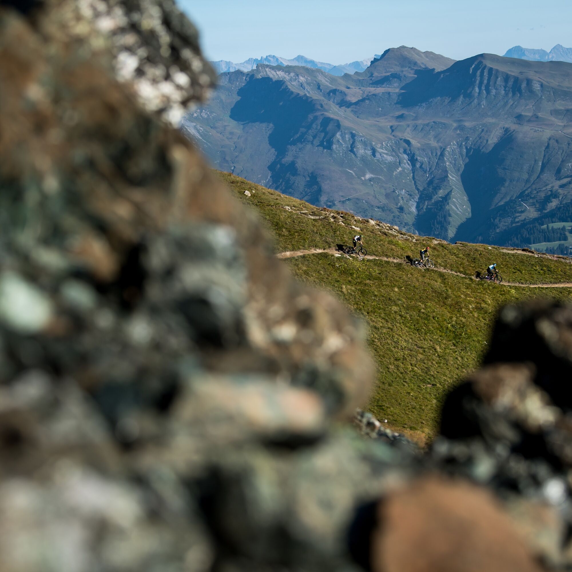
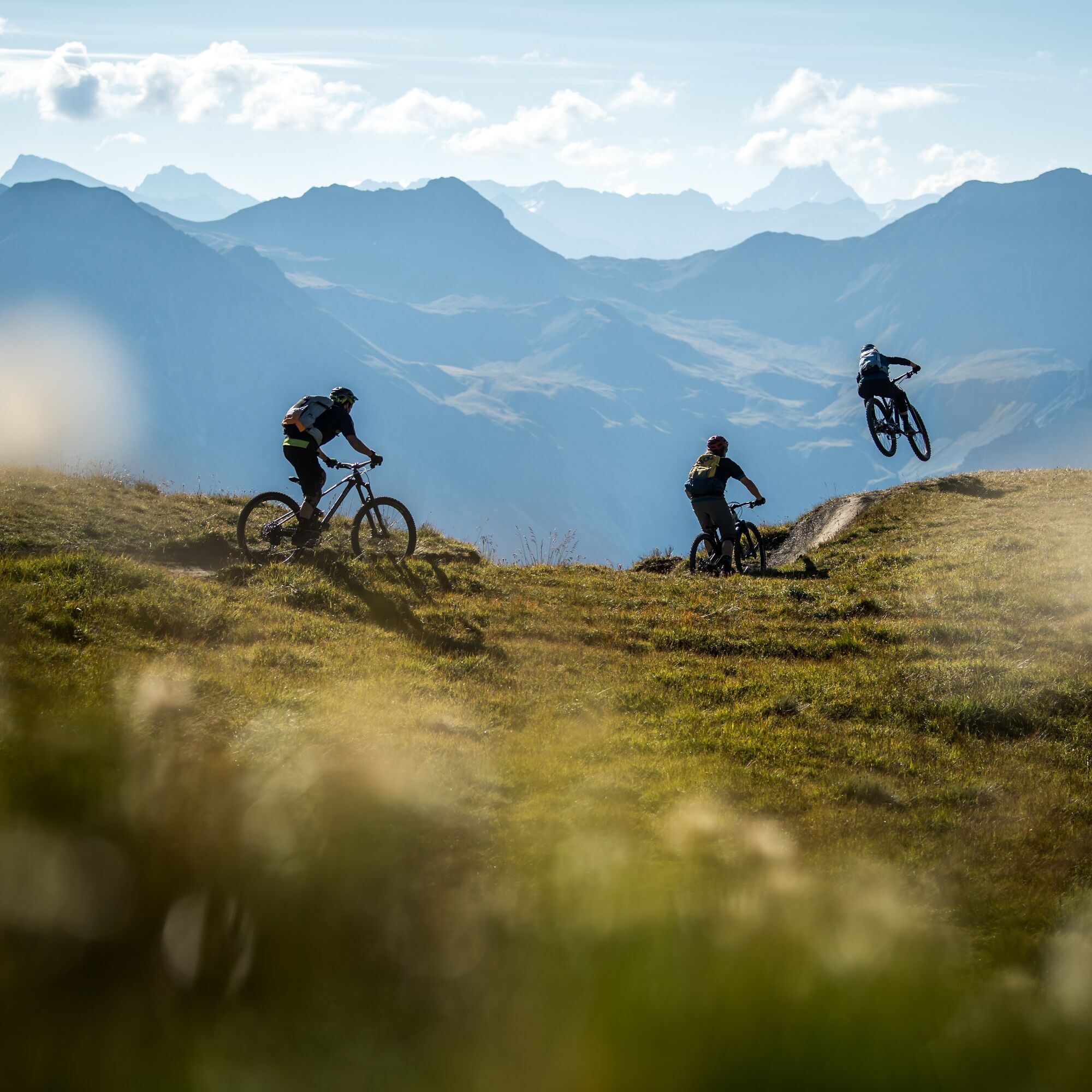

Hörnli valley - Hörnli mountain - Hörnli Trail - Büdemij - Isla - Obersee - Weisshorn - Maraner Haupti - mid-station - Arlenwald - Weisshorn valley
Tak
complete bike equipment including helmet
Observe the opening hours of the mountain railways
From Chur, follow the cantonal road through Schanfigg to Arosa.
Take the Rhaetian Railway from Chur to Arosa. Then ride your bike to the Hörnli-Express valley station or take the public and free bus to the valley station.
Park your car at the Ochsenbüel underground garage at the village entrance. From there, ride to the Hörnli-Express or take the public free bus.
S3
Before starting the route, treat yourself to a delicious cream slice at the Hörnlihütte.
Uzyskaj wgląd
Zawsze na żywo z ponad 9 500 kamer internetowych. bergfex Jako użytkownik Pro, możesz teraz zobaczyć odpowiednie kamery internetowe dla wielu wycieczek w aplikacji wycieczki od. Pozwala to na bezpośredni podgląd aktualnych warunków.
Popularne wycieczki w okolicy
-
3,9
Arosa-Medergen-Tritt-Latschüelfurgga-Strelapass-Davos
średniWędrówka 22,5 km -
Arosa-Schwellisee-Älplisee-Parpaner Rothorn
Wędrówka 12,3 km -
4,8
749 Val Meltger suspension bridge trail
średniWędrówka 8,30 km -
4,7
Arosa-Hörnli-Parpaner Rothorn-Lenzerheide
Wędrówka 11,9 km -
3,5
Arosa-Maienfelder Furgga-Stafelalp-Davos
średniWędrówka 15,9 km -
5,0
Arosa-Hörnli-Urdenfürrgli-Alp Scharmoin-Lenzerheide
średniWędrówka 15,3 km -
5,0
Eichhörnliweg Arosa
światłoTrasa tematyczna 1,72 km -
5,0
Arosa-Erzhornsattel-Arosa
Wędrówka 14,9 km -
Alp Sanaspans - Rothorn
ciężkiWędrówka 13,6 km -
5,0
767 Alteinsee Schiesshorn
średniWędrówka 11,9 km
Wędrówki i tropienie


Nie przegap ofert i inspiracji na następne wakacje
Twój adres e-mail została dodana do listy mailingowej.





