


Lumnezia Val da Mulin
Poziom trudności: S1
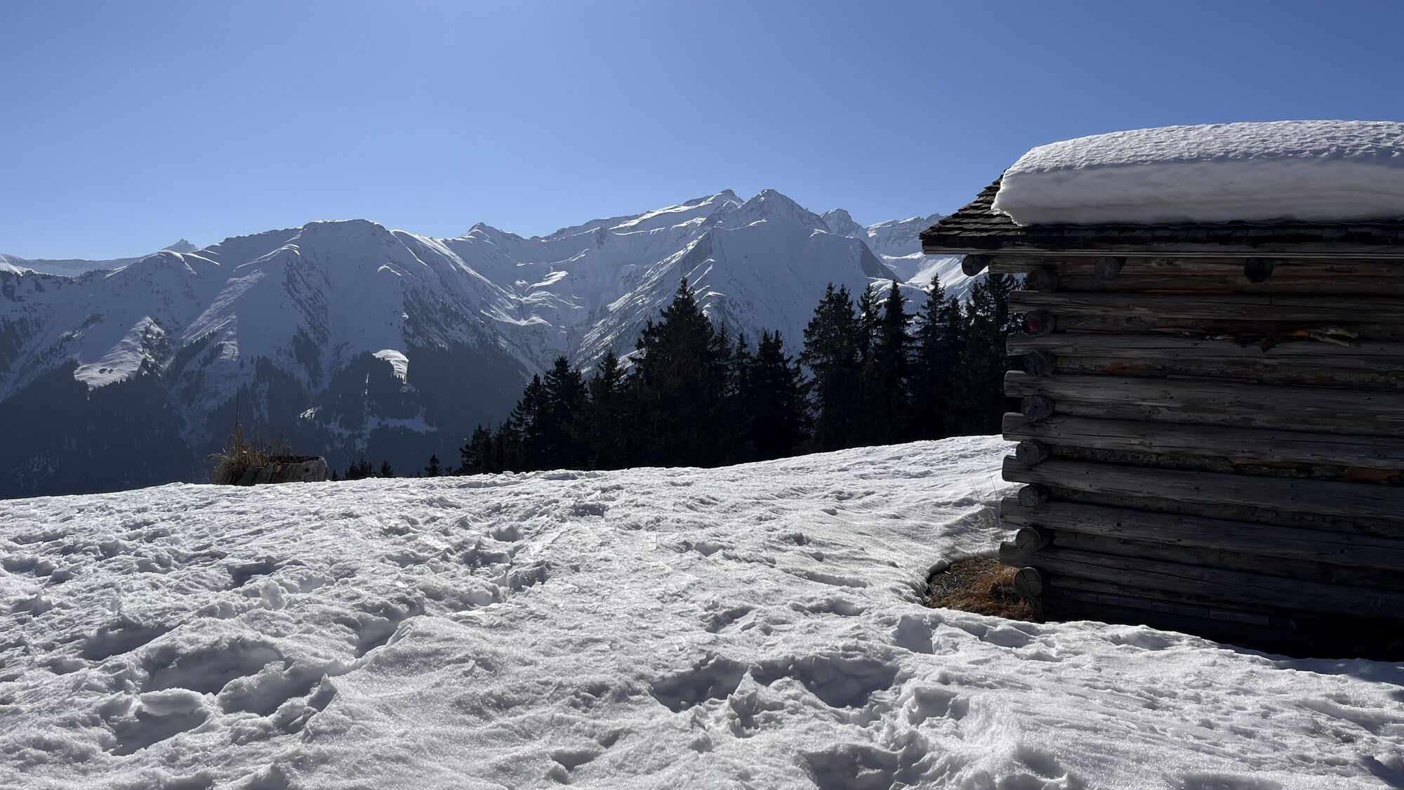
The sun-soaked slopes in the Val Lumnezia are already suitable for the first bike rides in spring. You only have to expect a little snow in a few places. The start is in Vella, the main town of Lumnezia....
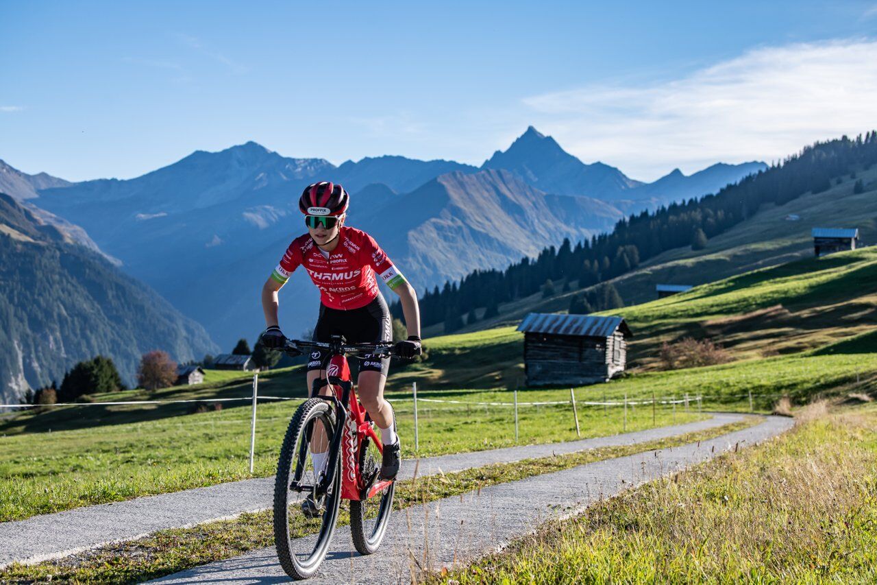
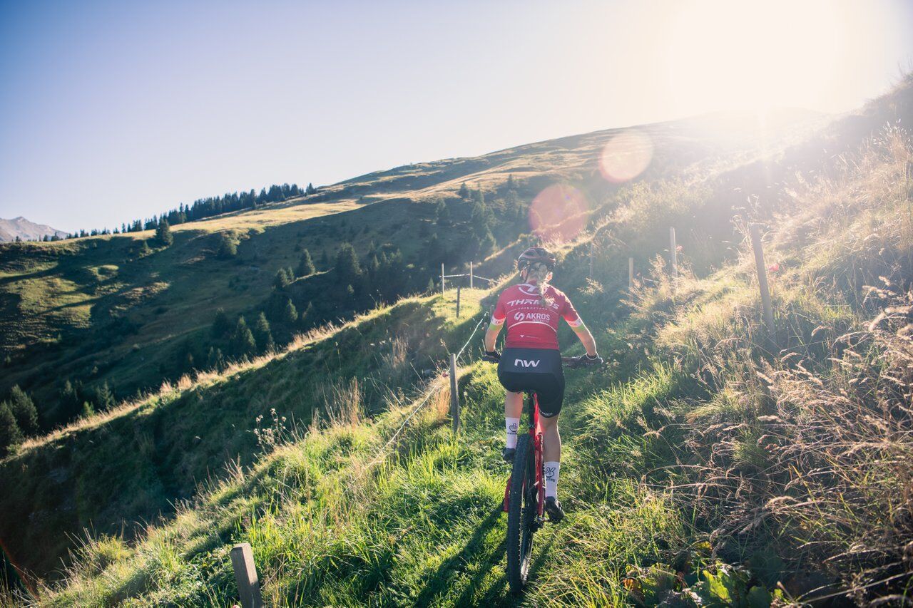
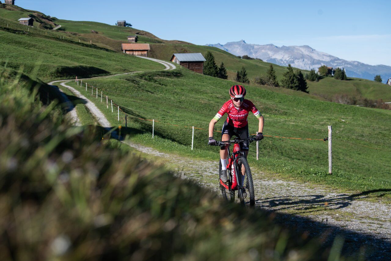
The sun-soaked slopes in the Val Lumnezia are already suitable for the first bike rides in spring. You only have to expect a little snow in a few places. The start is in Vella, the main town of Lumnezia. Unfortunately, there is no warm-up on this route. The mountains show themselves mercilessly from the start. But with the right attitude or of course an e-bike, it goes quickly uphill. After about 250 vertical meters, a change appears. The roads are sometimes flat or have short descents. Until you ride the most demanding trail in Parmischiras. The cool singletrail is horizontal but also has short ramps and yet is fluid to ride. Then follow descents on gravel roads, beautiful singletrails – e.g., through the Val da Mulin – until the route leads to the Davos Munts bathing lake. From now on: recharge battery and stomach and enjoy the last meters on a well-developed trail to Vella.

Vella-Pastiras-Parmischiras-Uaul da Fiugs-Sogn Gion-Val da Mulin-Davos Munts-Vella
Well-equipped bike, helmet, bike gloves, glasses, first aid kit, drink and sufficient provisions
The route should not be started in uncertain weather conditions. Weather changes are frequent in the mountains. If a rain front or similar approaches during the route, you should turn back in time.
Please consider other trail users. There are many people in the area around the bathing lake during the main season.
From Ilanz towards Vella/Vrin and to the center of Vella.
From the Grisons cantonal capital Chur, take the Rhaetian Railway in just 36 minutes through the spectacular Rhine Gorge to Ilanz station. Then take the PostBus line 90.441 Ilanz - Vrin to the Vella Posta stop
There are various parking options in the center of Vella
S1
Charge your e-bike in: Vella, Davos Munts bathing lake or with a small detour in Lumbrein.
Charging stations
Popularne wycieczki w okolicy
- 4,8
Rheinschlucht: From Ilanz to Versam into the heart of the Rheinschlucht
średniWędrówka 11,4 km Piz Fess 2880m, der Stolze
ciężkiWędrówka 12,8 km- 5,0
High valley Val Frisal
średniWędrówka 11,3 km - 4,3
Round trip hike Falera - Curnius - Alp Dadens - Falera
średniWędrówka 11,4 km - 5,0
Hiking route Suspension Bridge Val da Tersnaus
średniWędrówka 3,24 km - 3,3
3-lake hike
średniWędrówka 12,8 km Panoramic route between Piz Mundaun and Péz Sezner
średniWędrówka 6,75 km- 4,7
Dutjer Alp - magnificent view
średniWędrówka 8,23 km - 5,0
Panorama route
światłoWędrówka 5,39 km - 5,0
Breil/Brigels - Val Frisal Rundwanderung
średniWędrówka 20,8 km

Wędrówki i tropienie


Nie przegap ofert i inspiracji na następne wakacje
Twój adres e-mail została dodana do listy mailingowej.