


Arosa - Ramozhütte - Älplisee - Arosa


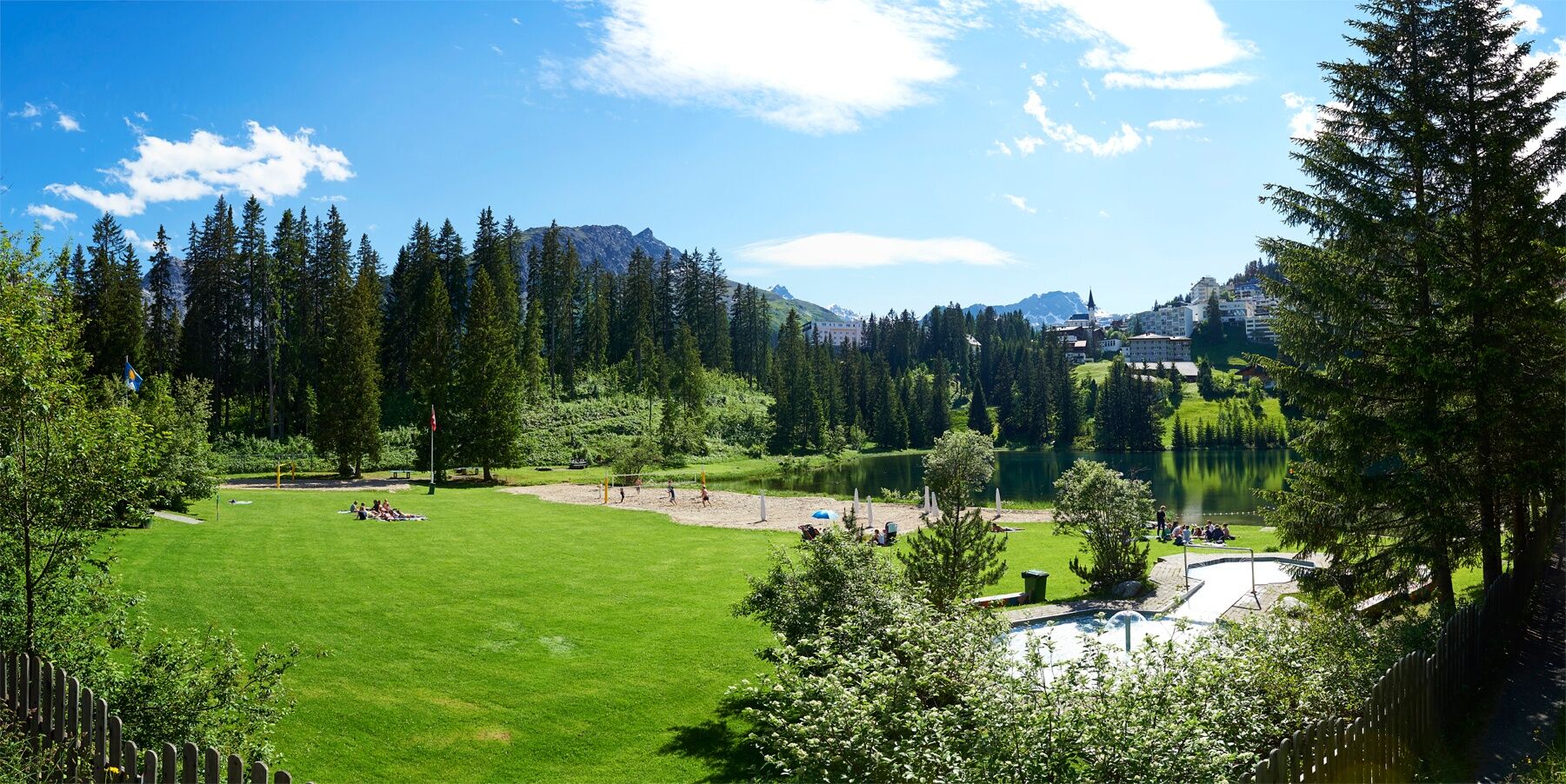
The hike starts at Strandbad Untersee in Arosa. From here, the path leads along the Isel stream deeper into the wild valley (Welschtobel). The slopes on the sides rise steeply and attentive hikers can...
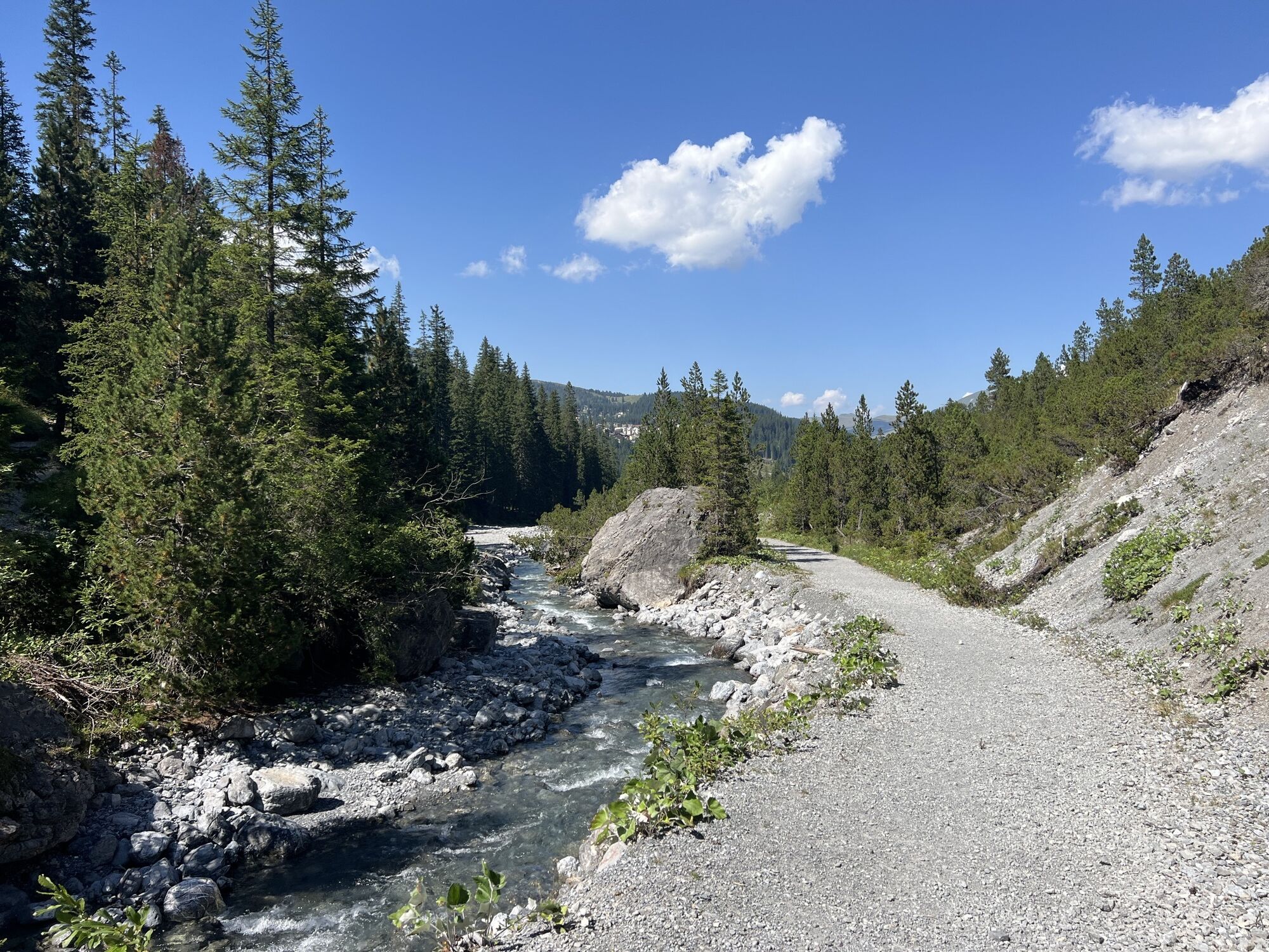
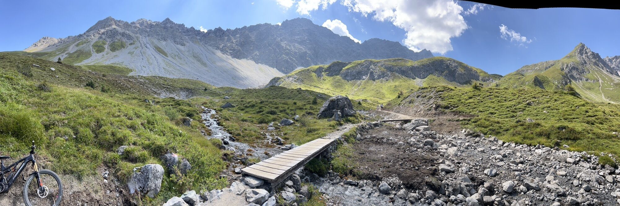
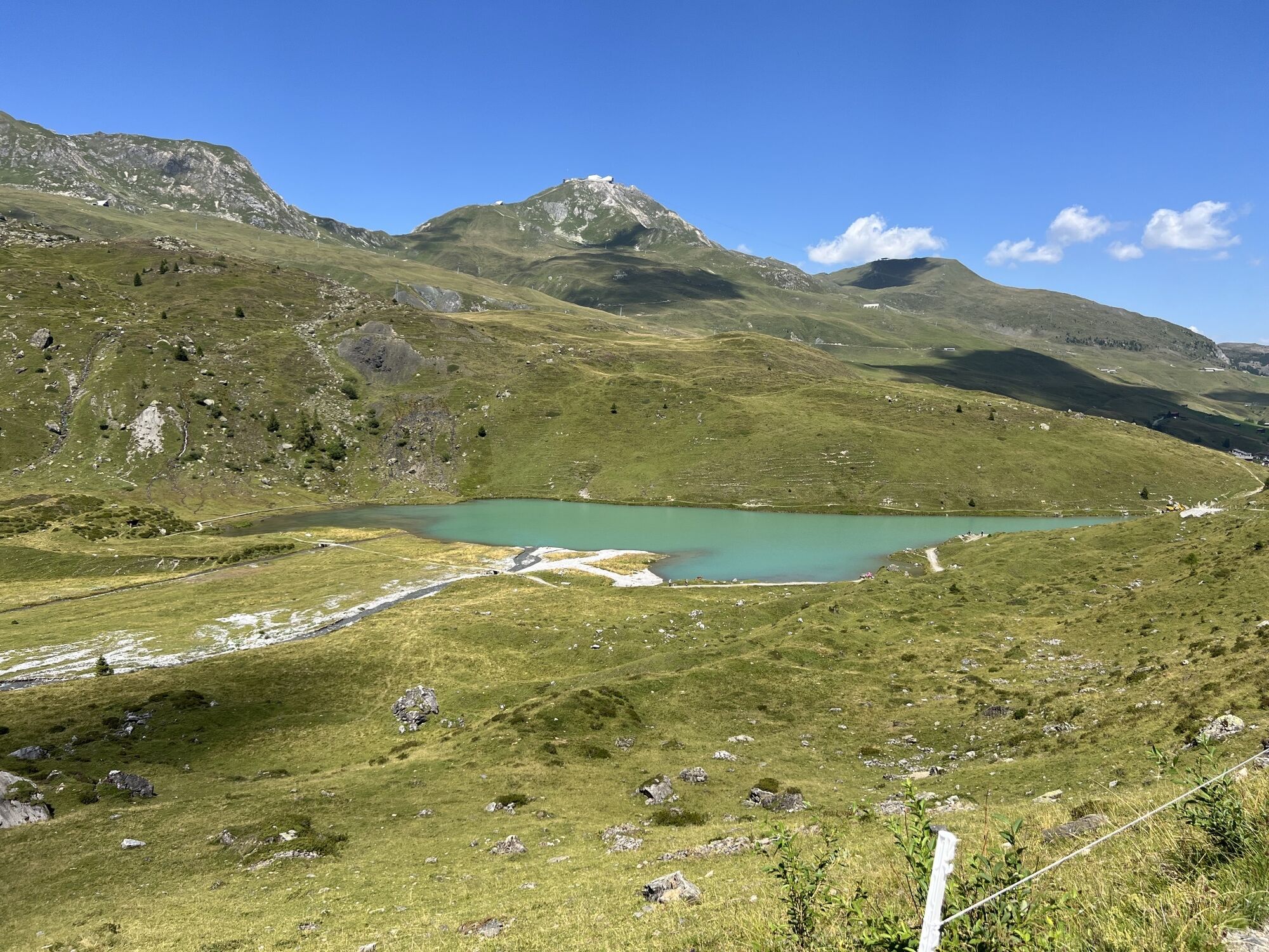
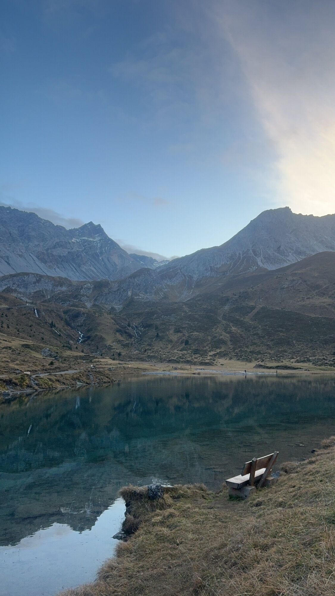
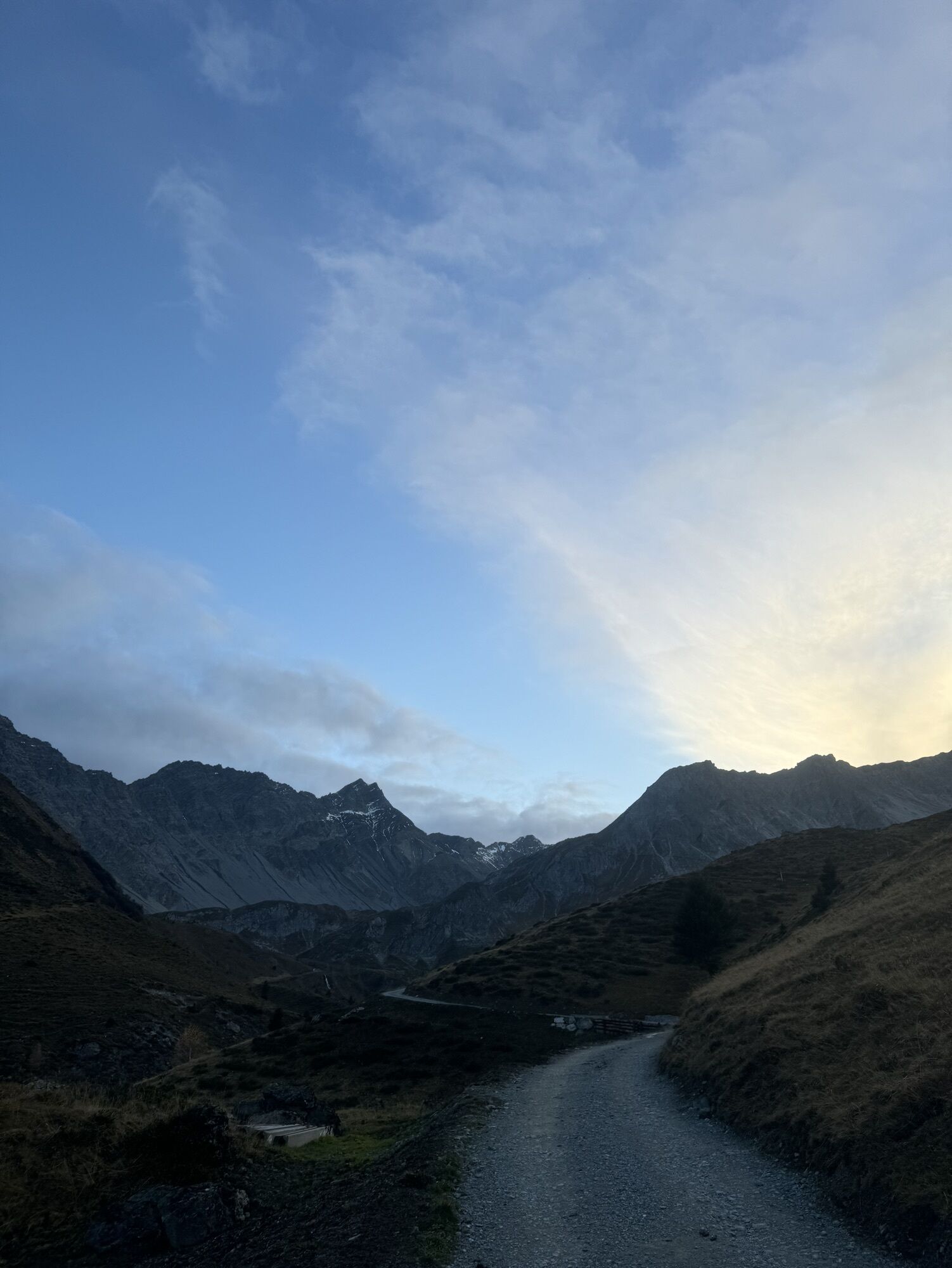
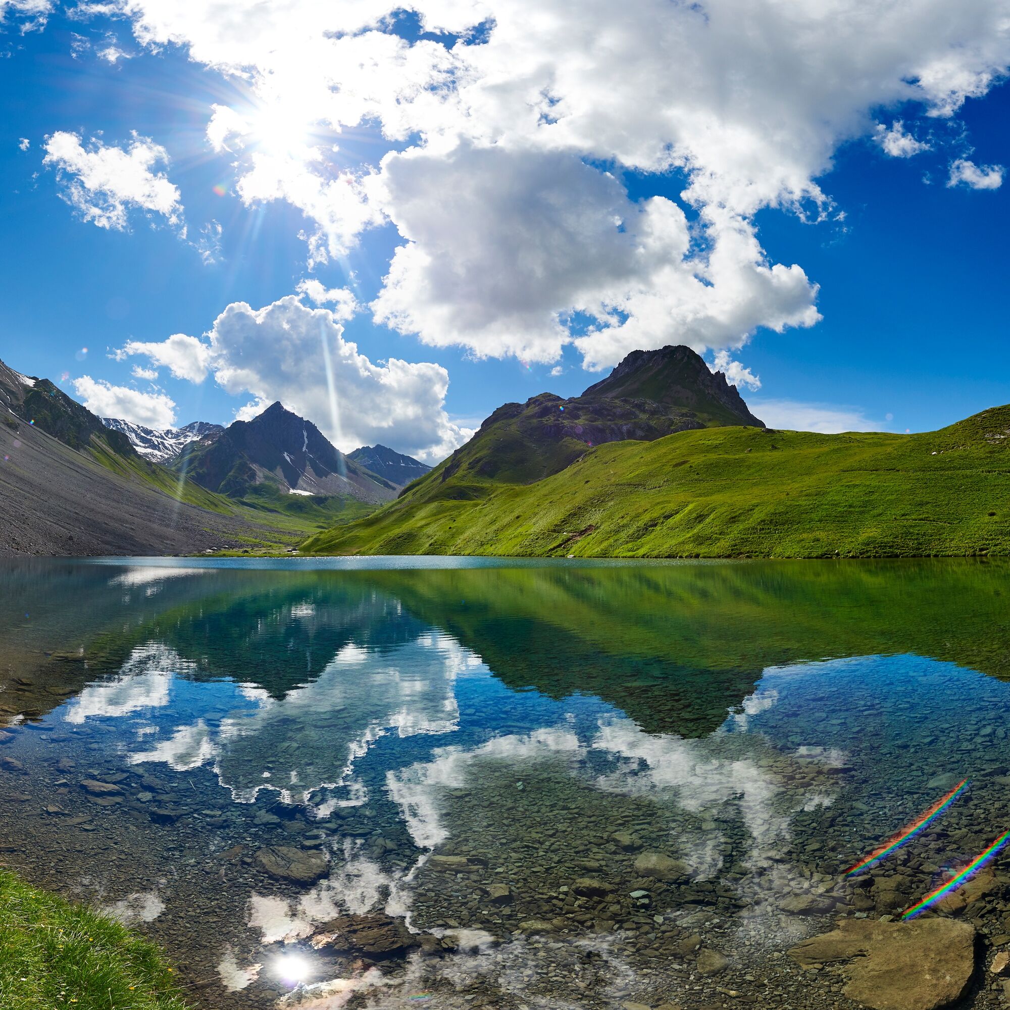
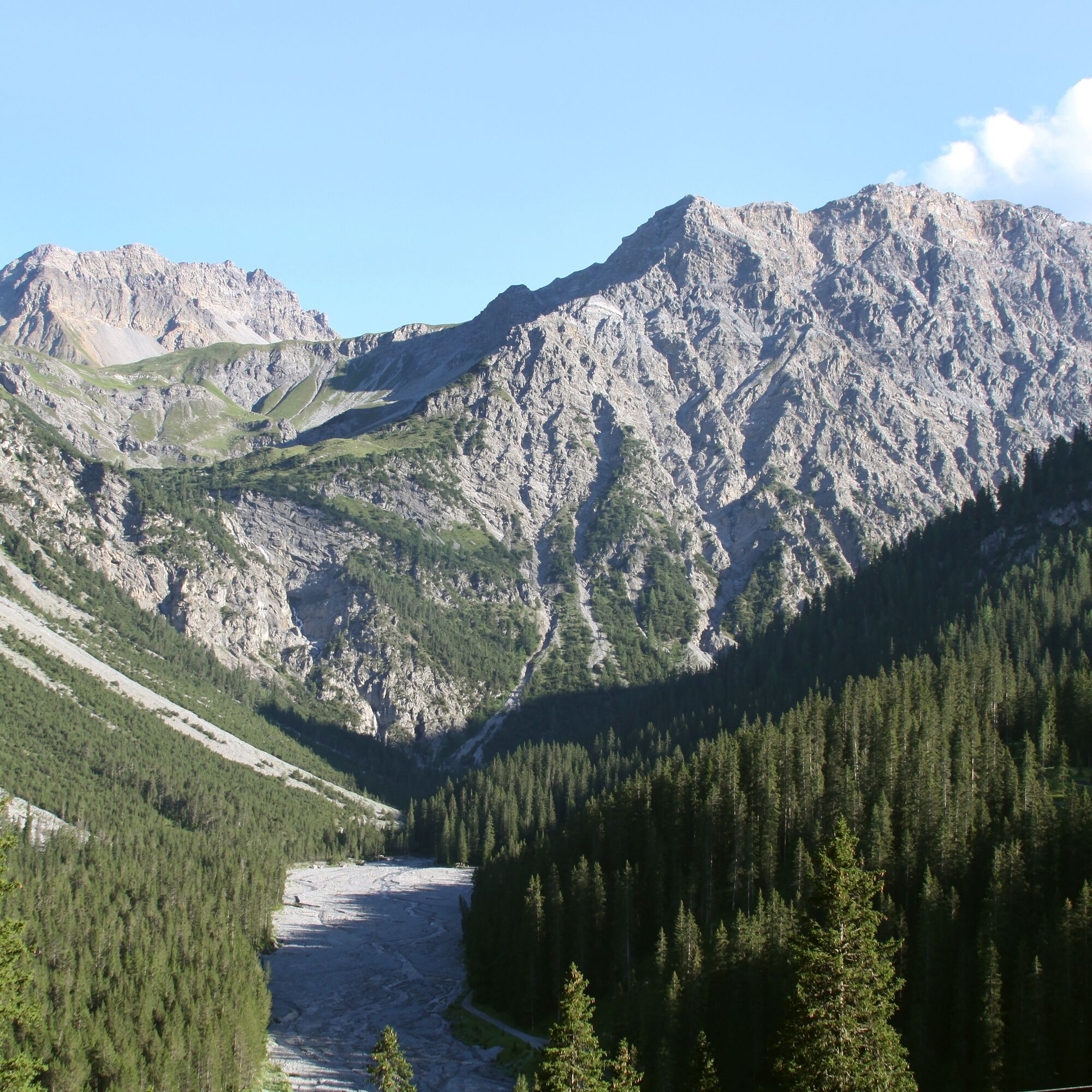
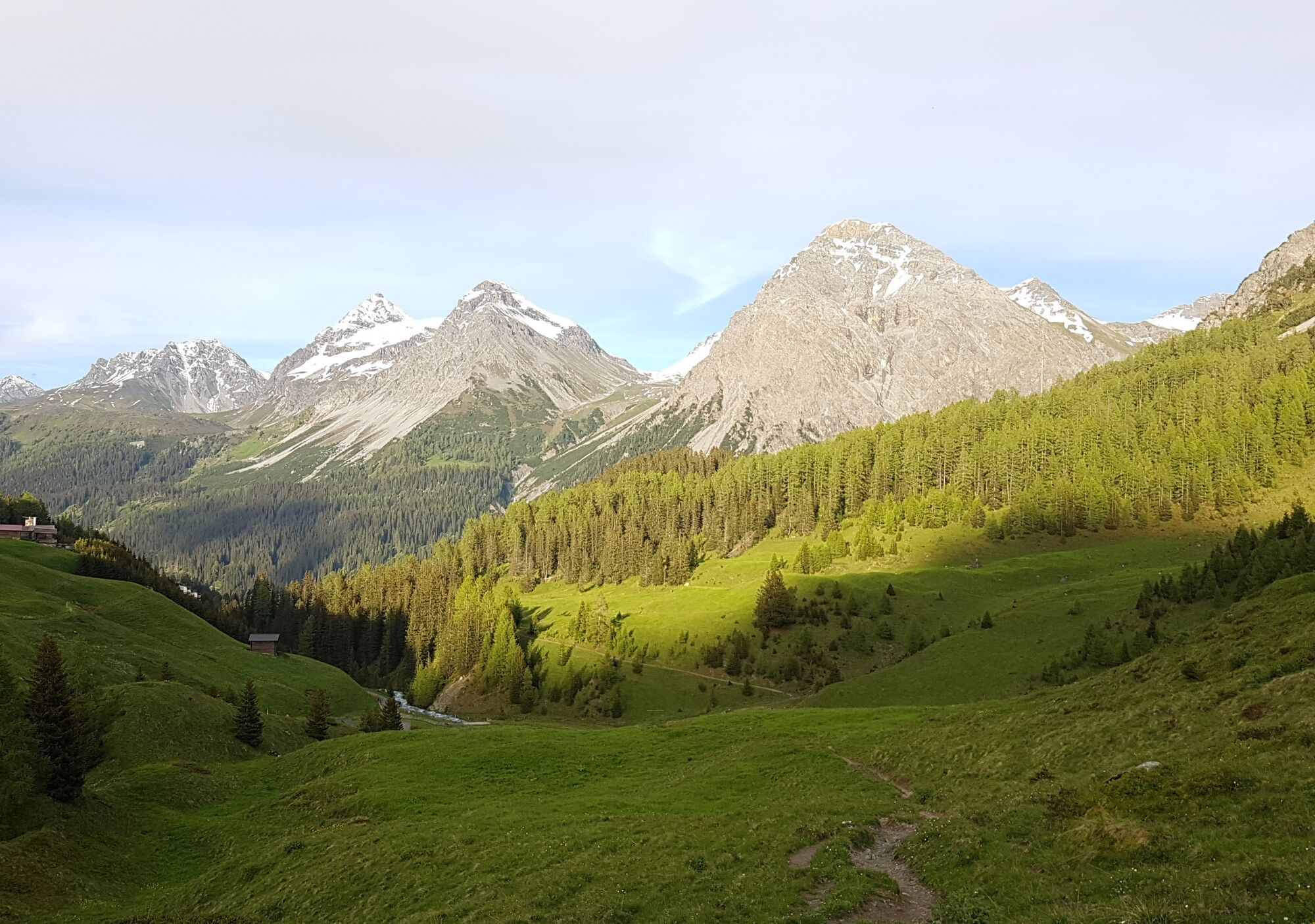
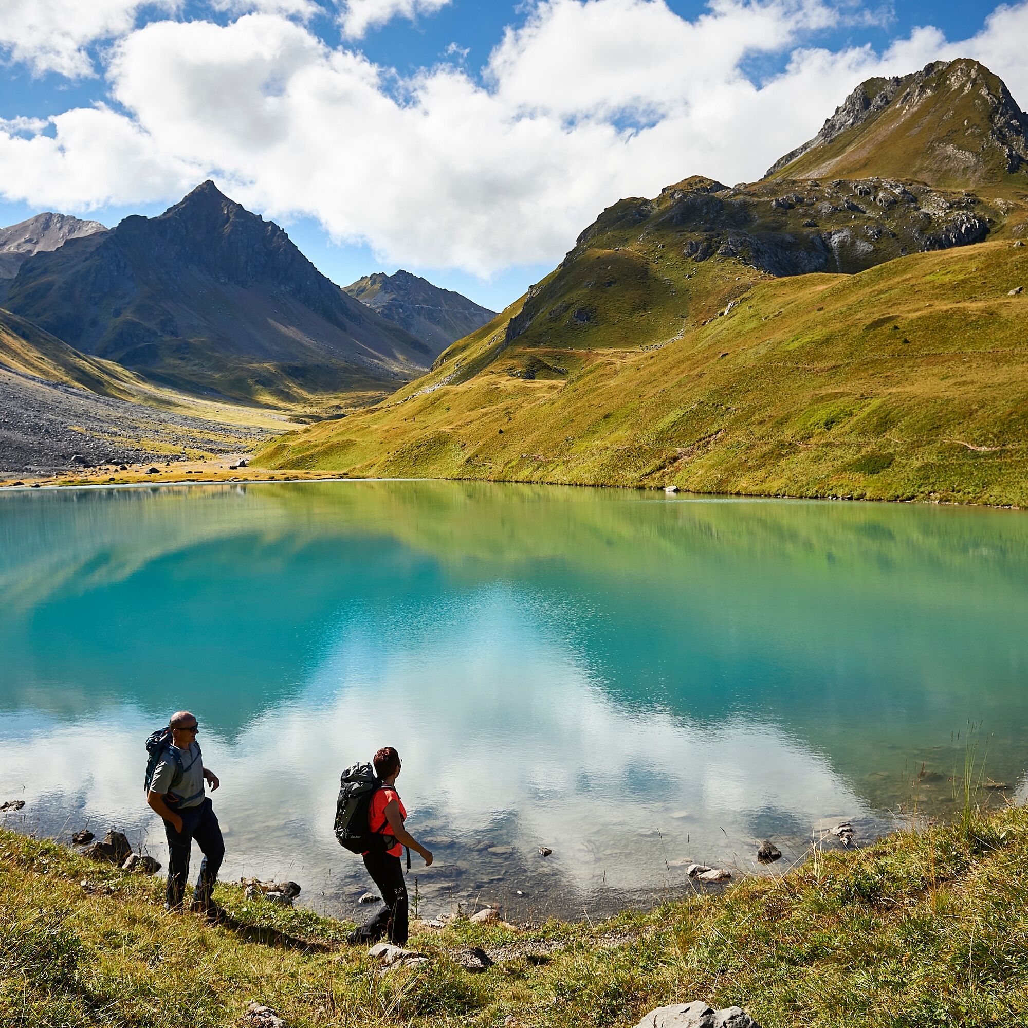
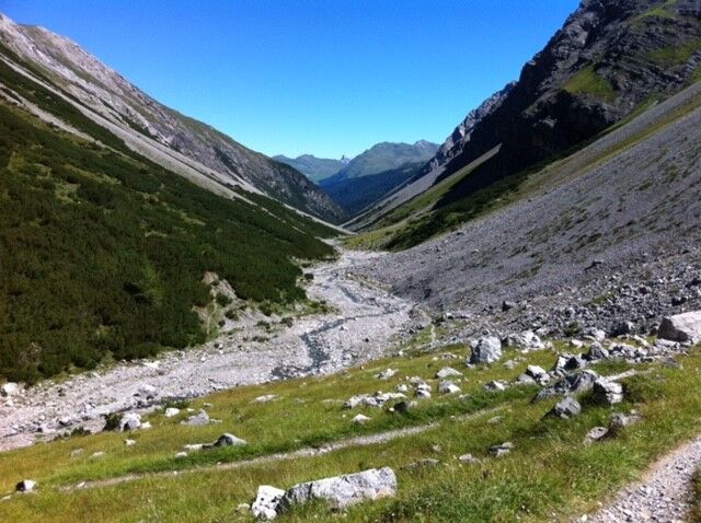
The hike starts at Strandbad Untersee in Arosa. From here, the path leads along the Isel stream deeper into the wild valley (Welschtobel). The slopes on the sides rise steeply and attentive hikers can repeatedly observe deer, ibex, and chamois. At the Ramozhütte (a non-serviced SAC hut), you can rest wonderfully and enjoy the sun before the path leads towards Erzhornsattel. From here, sure-footedness and a head for heights are required. Erzhornsattel is the highest point of the hike and the view towards Arosa and the Schanfigg is breathtaking. The descent requires concentration, the path is narrow and steep. Once this passage is overcome, the path winds along the valley floor to Älplisee, where you can soak your tired feet and take a break. During the summer, you will often meet sheep here that peacefully graze on the fresh herbs. From Älplisee, the last part leads past the crystal-clear Schwellisee back to Arosa.

Strandbad Untersee Arosa - Isel - along the stream - Ramozhütte - Erzohrnsattel - Älplisee - Schwellisee - Strandbad Untersee Arosa
Tak
Tak
Weather-appropriate clothing, sturdy footwear, hiking poles, and sufficient water are recommended. It is also advisable to carry your provisions in a backpack, as there are no restaurants along the route.
The path over Erzhornsattel is an alpine hiking trail marked with white/blue and requires sure-footedness and a head for heights. Please observe the rules and signage. Under the hiking info you will find further helpful tips.
From Chur follow the signs towards Arosa and turn left at the village entrance before the gas station. Follow the signs to Strandbad Untersee. Parking is available.
The train from Chur to Arosa (and in the opposite direction) runs hourly. From the Arosa station, a footpath or the local bus leads to Strandbad Untersee where the route starts.
Since there are only a limited number of parking spaces available at Strandbad Untersee, it is recommended to park in the Ochsenbühl parking garage. The garage is a few hundred meters from the station and is located right next to the Ochsenbühl bus stop.
Further information on parking options in Arosa is available here: www.arosa-parking.com
Arosa strives to provide hikers with a well-developed and marked hiking trail network. Please observe the following wishes and suggestions:
This hike is only possible in summer.Dogs must be kept on a leash
Do not use closed paths (live report)
Do not leave the officially marked winter hiking trails
Please take your rubbish and leftovers from picnics back home
On your hikes you will often be able to observe wildlife. Enjoy watching these animals in their familiar environment but do not disturb them.
Leave hiking trail markers in place
Further information about Ramoz Hütte can be found here.
An overnight stay at the Ramozhütte is an unforgettable experience. (Self-catering hut, reservation required)
Popularne wycieczki w okolicy
- 3,9
Arosa-Medergen-Tritt-Latschüelfurgga-Strelapass-Davos
średniWędrówka 22,5 km Arosa-Schwellisee-Älplisee-Parpaner Rothorn
Wędrówka 12,3 km- 4,7
Arosa-Hörnli-Parpaner Rothorn-Lenzerheide
Wędrówka 11,9 km - 3,5
Arosa-Maienfelder Furgga-Stafelalp-Davos
średniWędrówka 15,9 km - 5,0
Arosa-Hörnli-Urdenfürrgli-Alp Scharmoin-Lenzerheide
średniWędrówka 15,3 km - 5,0
Eichhörnliweg Arosa
światłoTrasa tematyczna 1,72 km - 4,5
749 Val Meltger suspension bridge trail
średniWędrówka 8,30 km - 5,0
Arosa-Erzhornsattel-Arosa
Wędrówka 14,9 km - 5,0
767 Alteinsee Schiesshorn
średniWędrówka 11,9 km - 2,0
Arosa-Furclettapass-Alvaneu
Wędrówka 21,8 km
Wędrówki i tropienie


Nie przegap ofert i inspiracji na następne wakacje
Twój adres e-mail została dodana do listy mailingowej.