


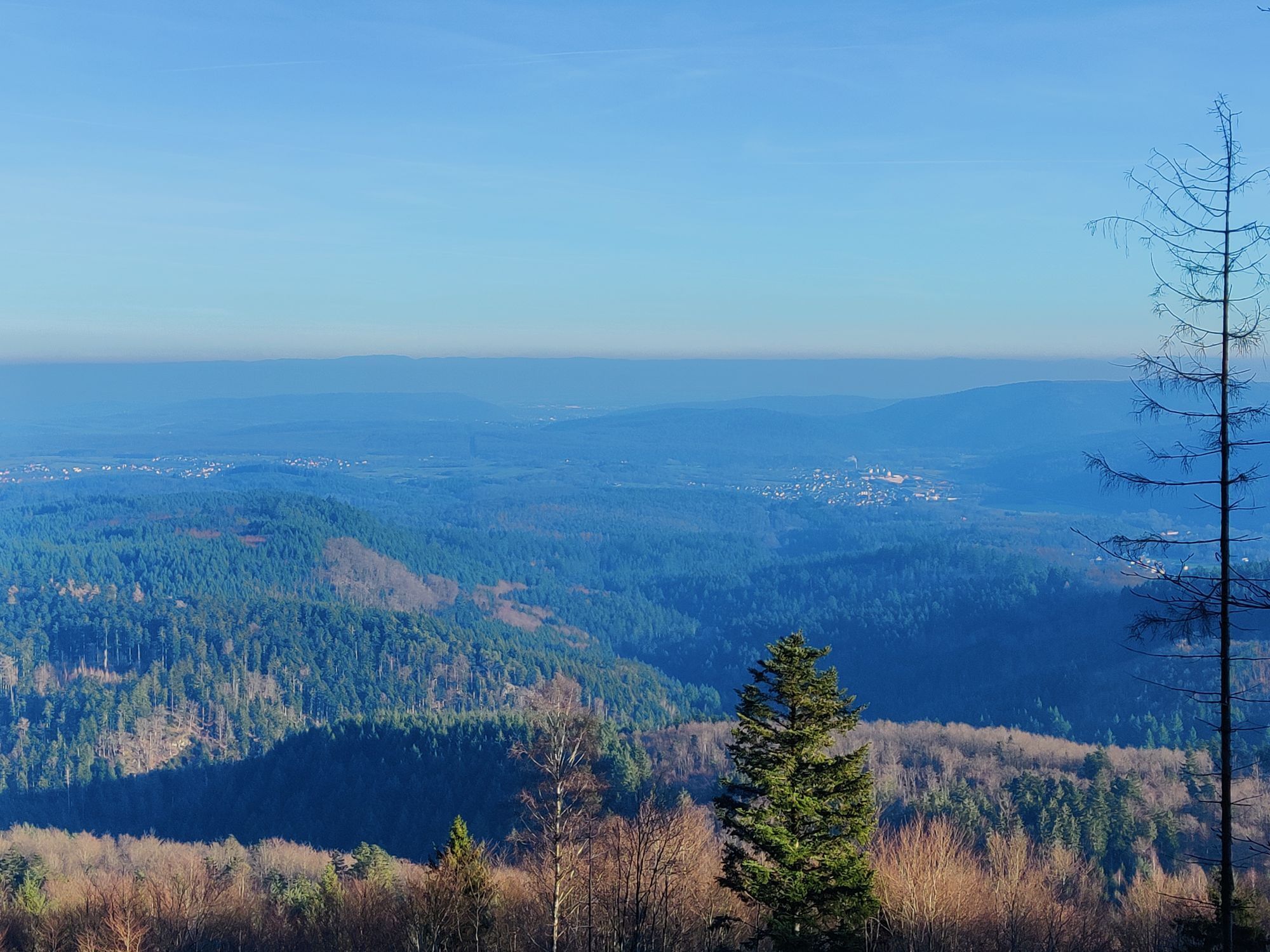
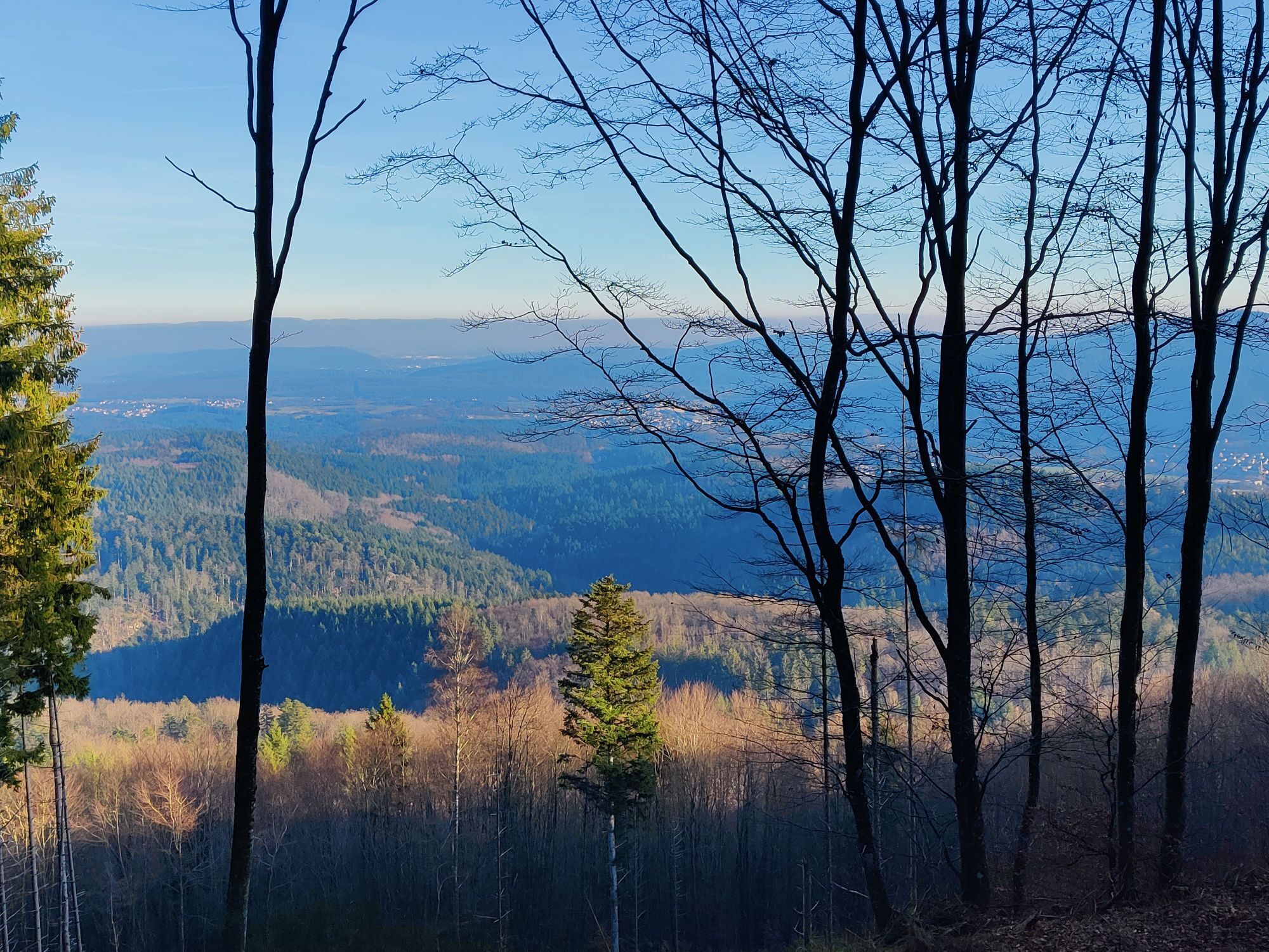
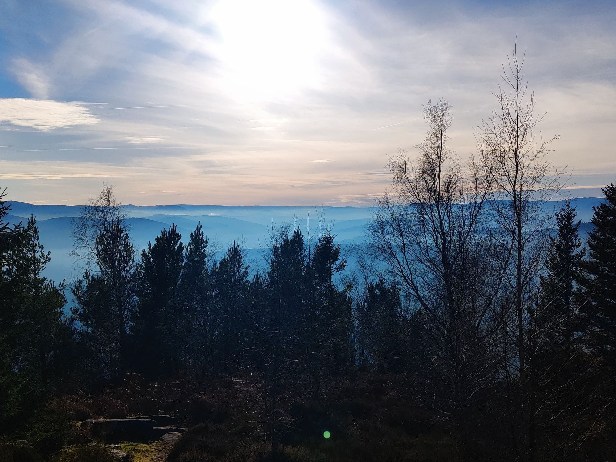
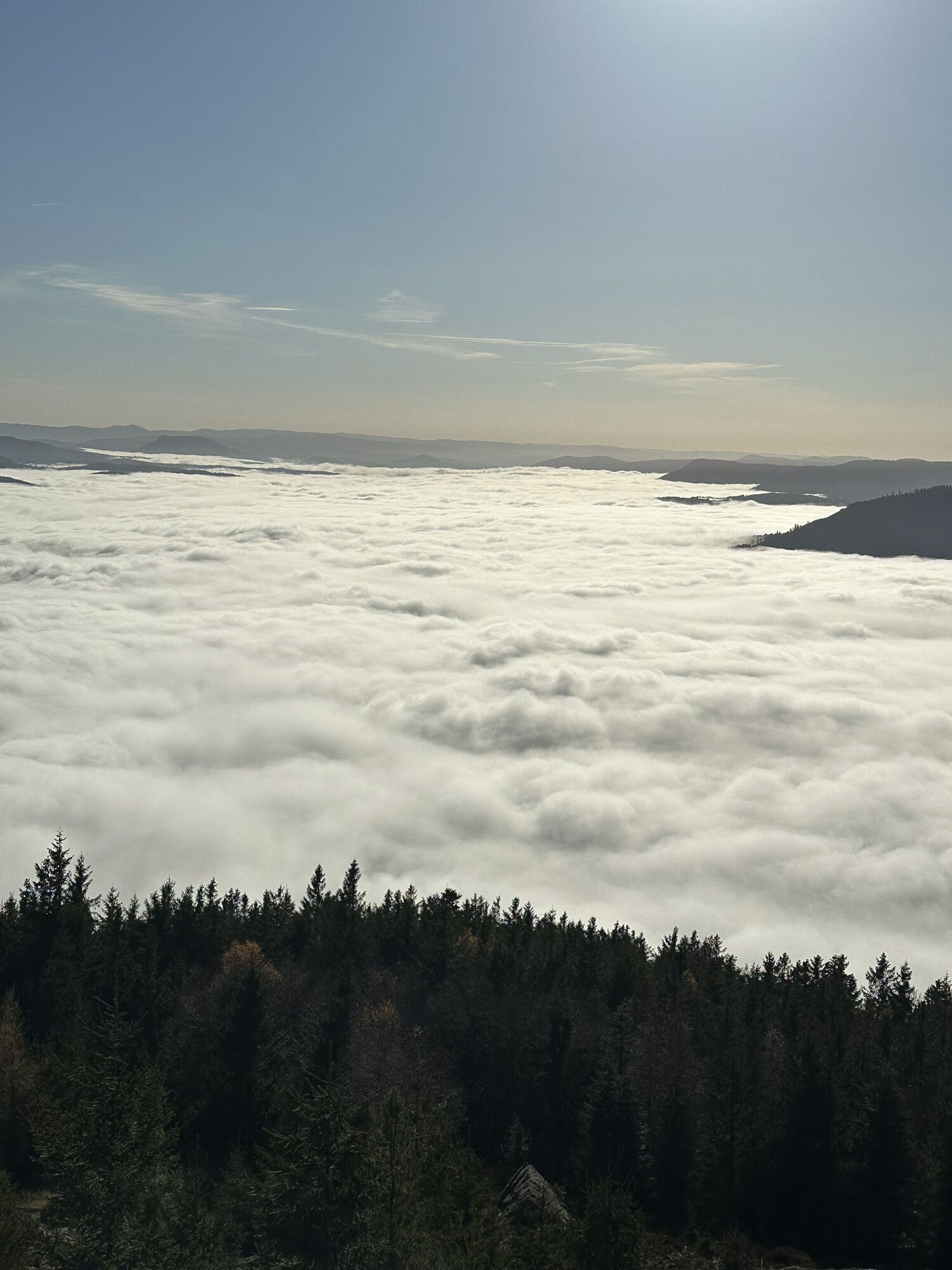
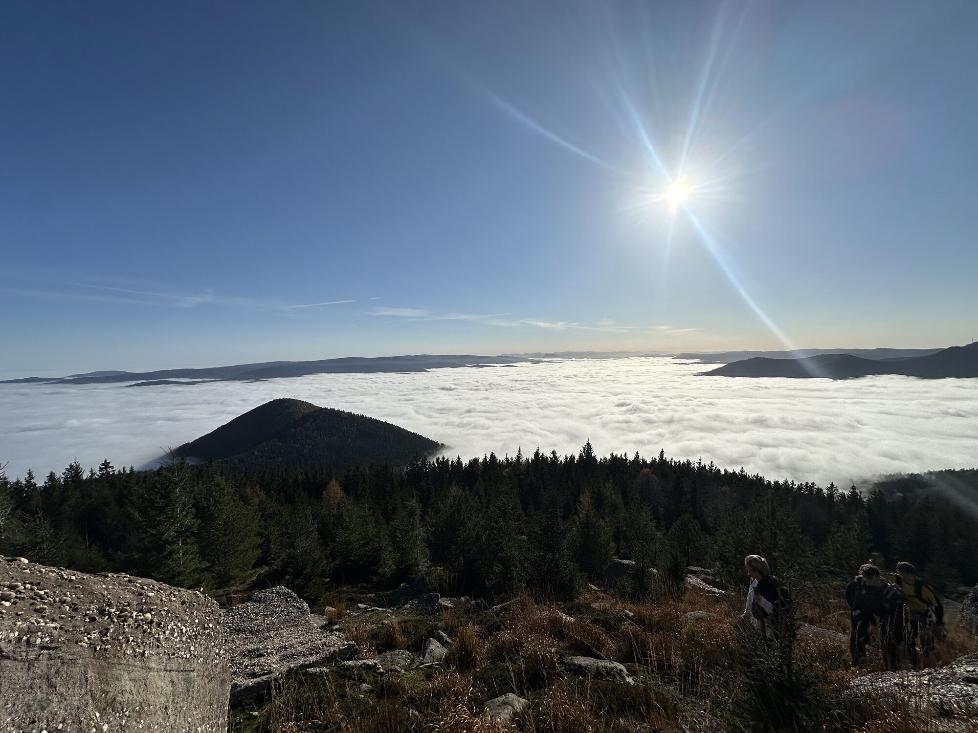
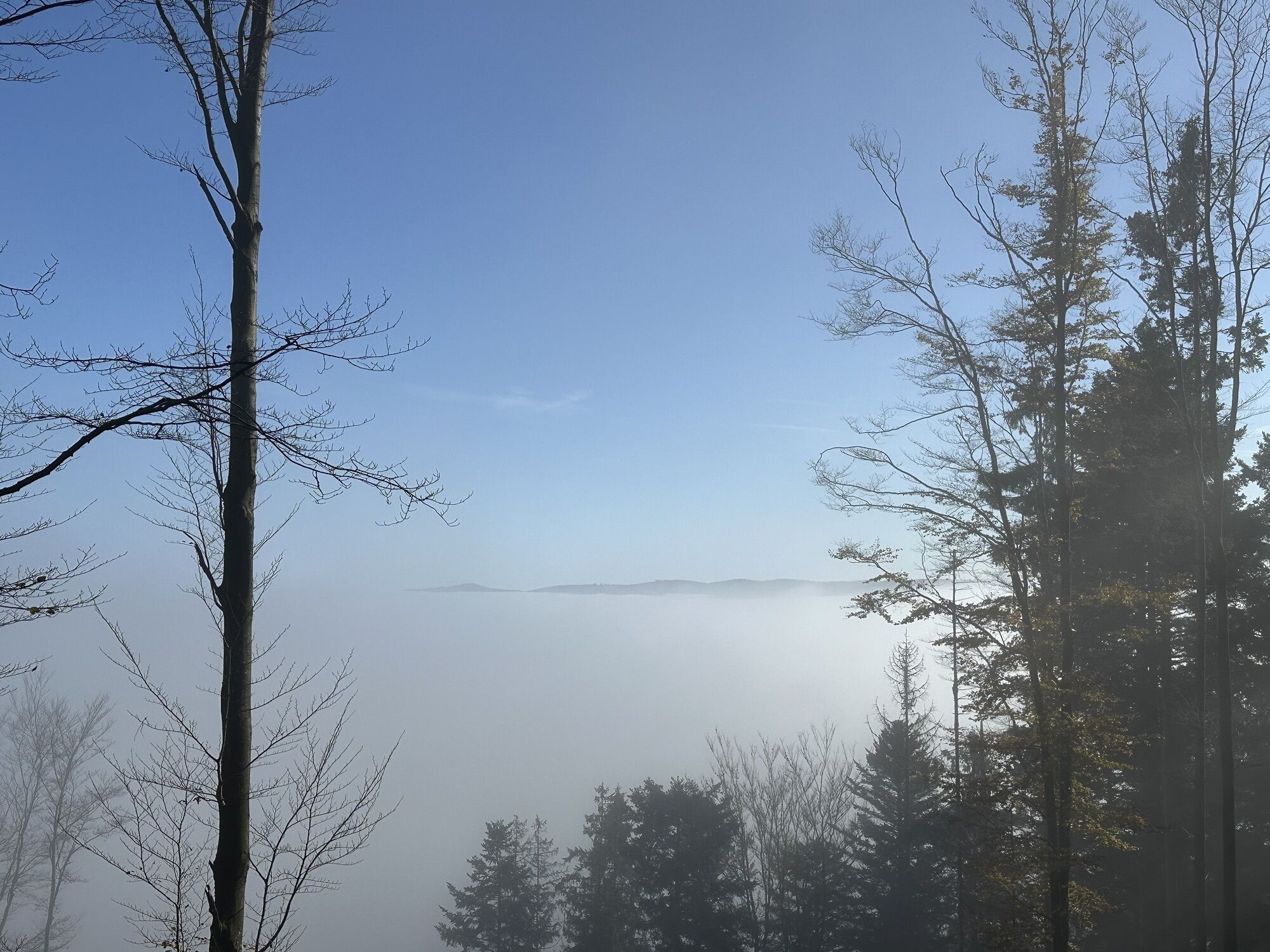
Hiking circuit B02: The Mutzig rock and the Porte de Pierre
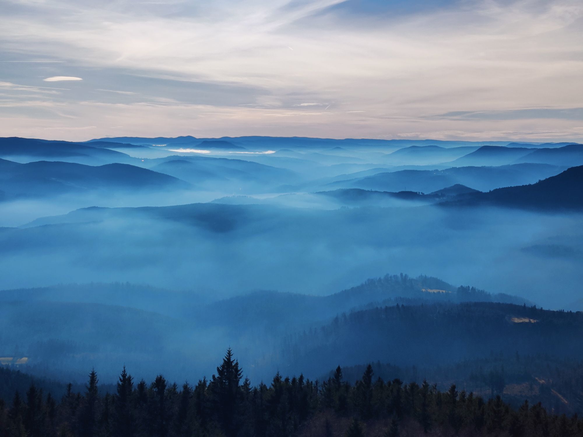
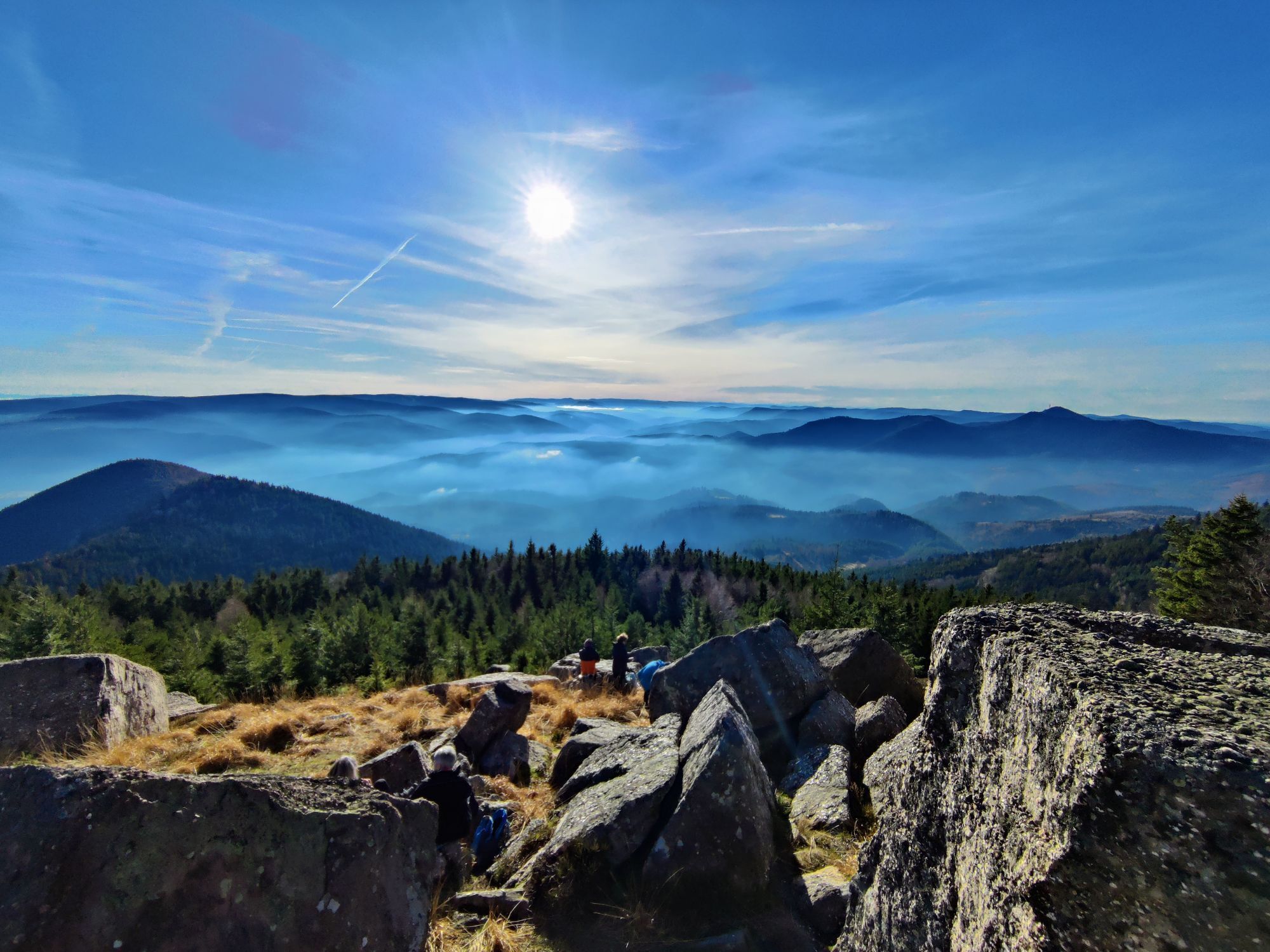
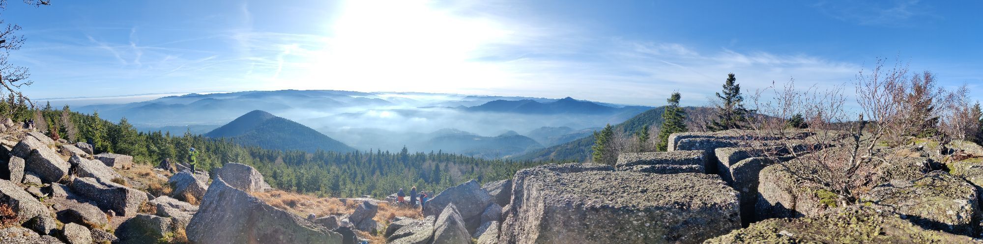
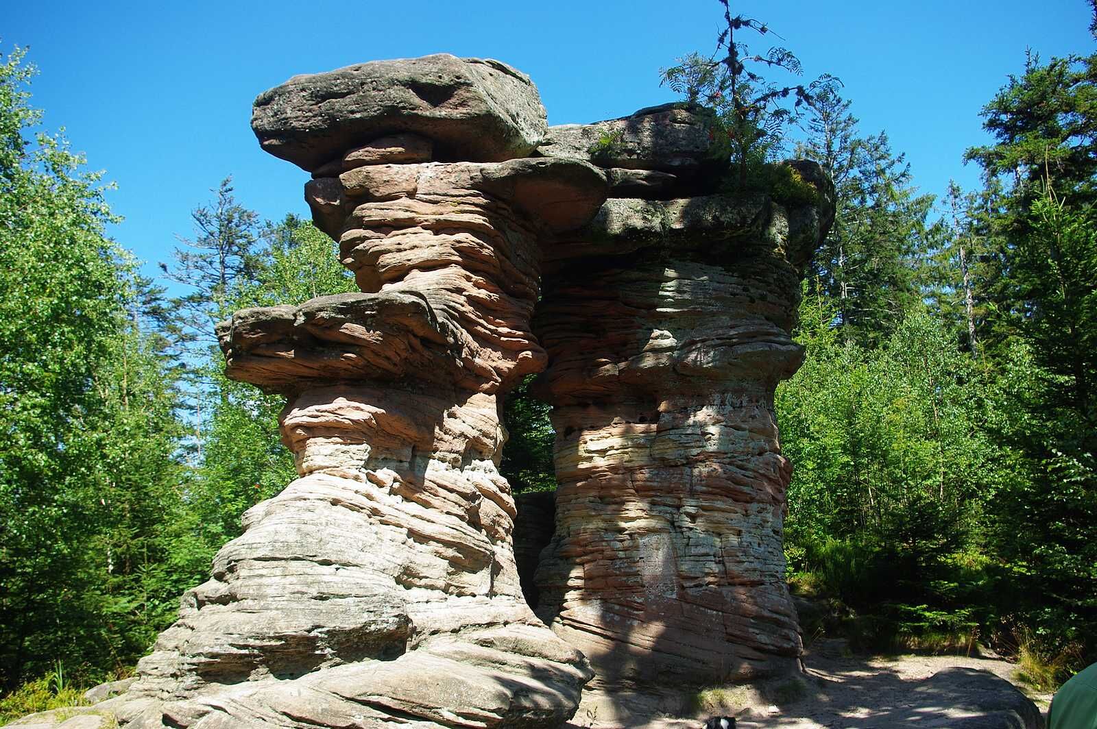
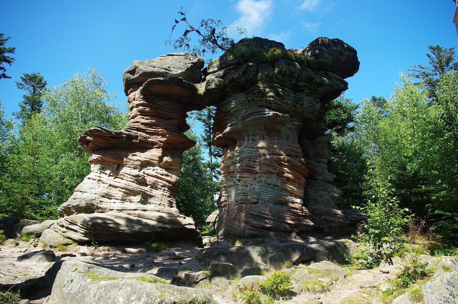
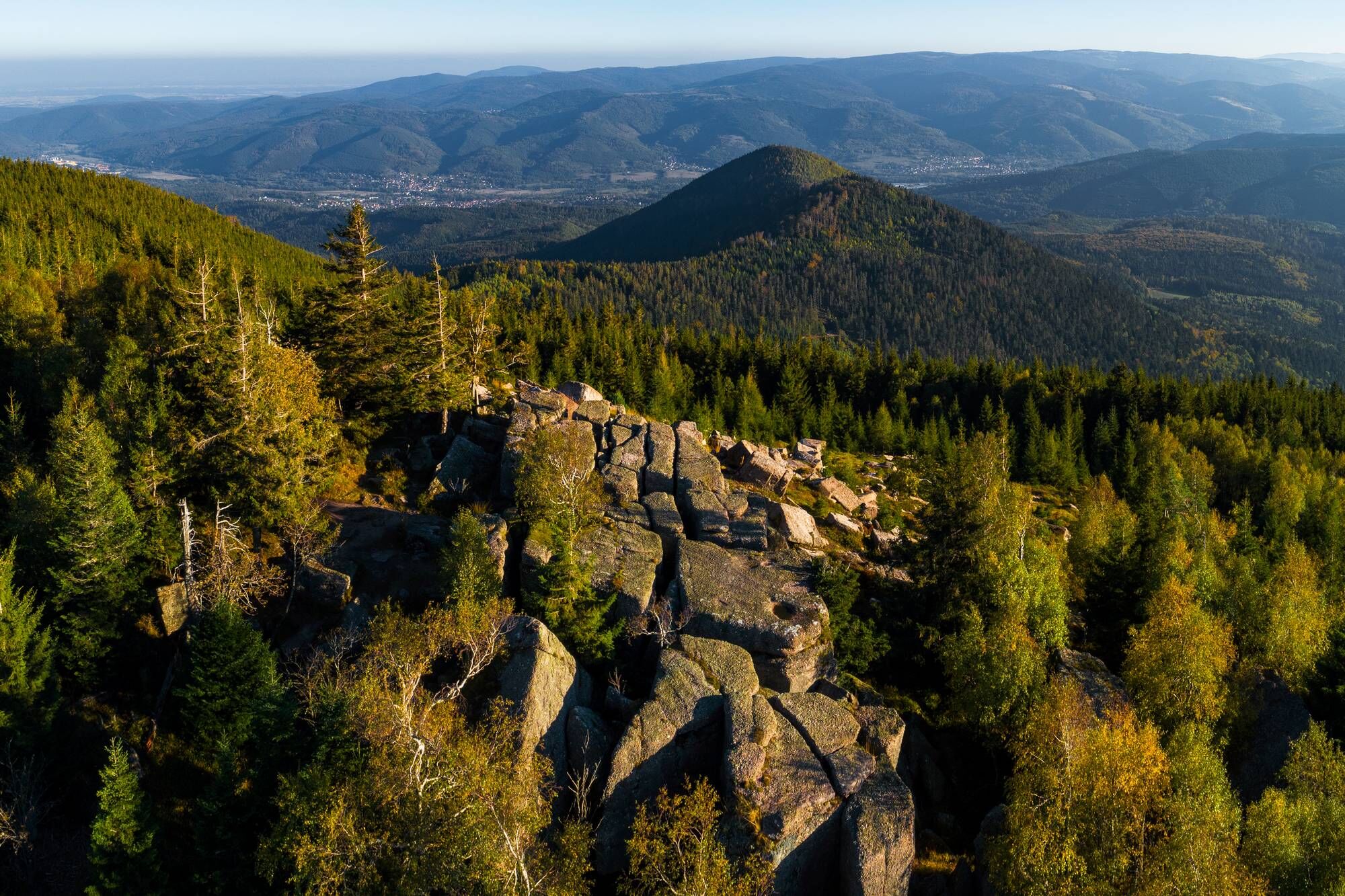
The Porte de Pierre is a natural monument of pink sandstone sculpted by erosion. It is an astonishing find, this block perched there, as if it came from nowhere and plunges you into a half-dream.
route
Tak
Recommended equipment
Clothing suitable for the season and conditions (cold, hot, wet…)
Hiking shoes adapted to the terrain (even for children!)
Telescopic poles (useful for stability and to relieve joints)
Mobile phone and spare battery if needed
In case of problem
Call 112 (European emergency number)
5 key points to transmit your alert:
Where? municipality, place, route, altitude
Who? identity, phone number
What? type of accident, number of victims, severity, dynamics of fall
When? time of the accident
Weather? wind, visibility
Wisches
www.fluo.eu
Free parking on site
VALLÉE DE LA BRUCHE TOURIST OFFICE
114 Grand Rue
Maison de la Vallée
67130 Schirmeck
Tel: 03 88 47 18 51
tourisme@valleedelabruche.fr
www.valleedelabruche.fr
www.rando-bruche.fr
Popularne wycieczki w okolicy
Crossing of the Vosges Massif - Stage 08 - Urmatt - Schirmeck
ciężkidługodystansowy szlak pieszy 33,2 km- 5,0
Les Deux Donon
średniWędrówka 18 km Hiking circuit D04: Southern fortified positions of Donon
średniWędrówka 12,0 kmCrossing of the Vosges Massif - Stage 07 - Wangenbourg-Engenthal - Urmatt
średnidługodystansowy szlak pieszy 17,6 kmCrossing of the Vosges Massif - Stage 09 - Schirmeck - Le Hohwald
ciężkidługodystansowy szlak pieszy 23,2 kmFamily walk: Little Princes' routes in the Principality of Salm
światłoWędrówka 6,28 kmFamily route: Around Belmont
średniWędrówka 6,36 kmHiking circuit: Salm and the Hanging Cat
średniWędrówka 6,16 kmMicro Aventure 3 Traversée du Massif des Vosges - Sur le sentier enchanté
średniWędrówka 42,8 km"Vineyard and Mountain" cycling loop
ciężkiJazda na rowerze 50,0 km
Wędrówki i tropienie


Nie przegap ofert i inspiracji na następne wakacje
Twój adres e-mail została dodana do listy mailingowej.