







Crossing of the Vosges Massif - Stage 07 - Wangenbourg-Engenthal - Urmatt
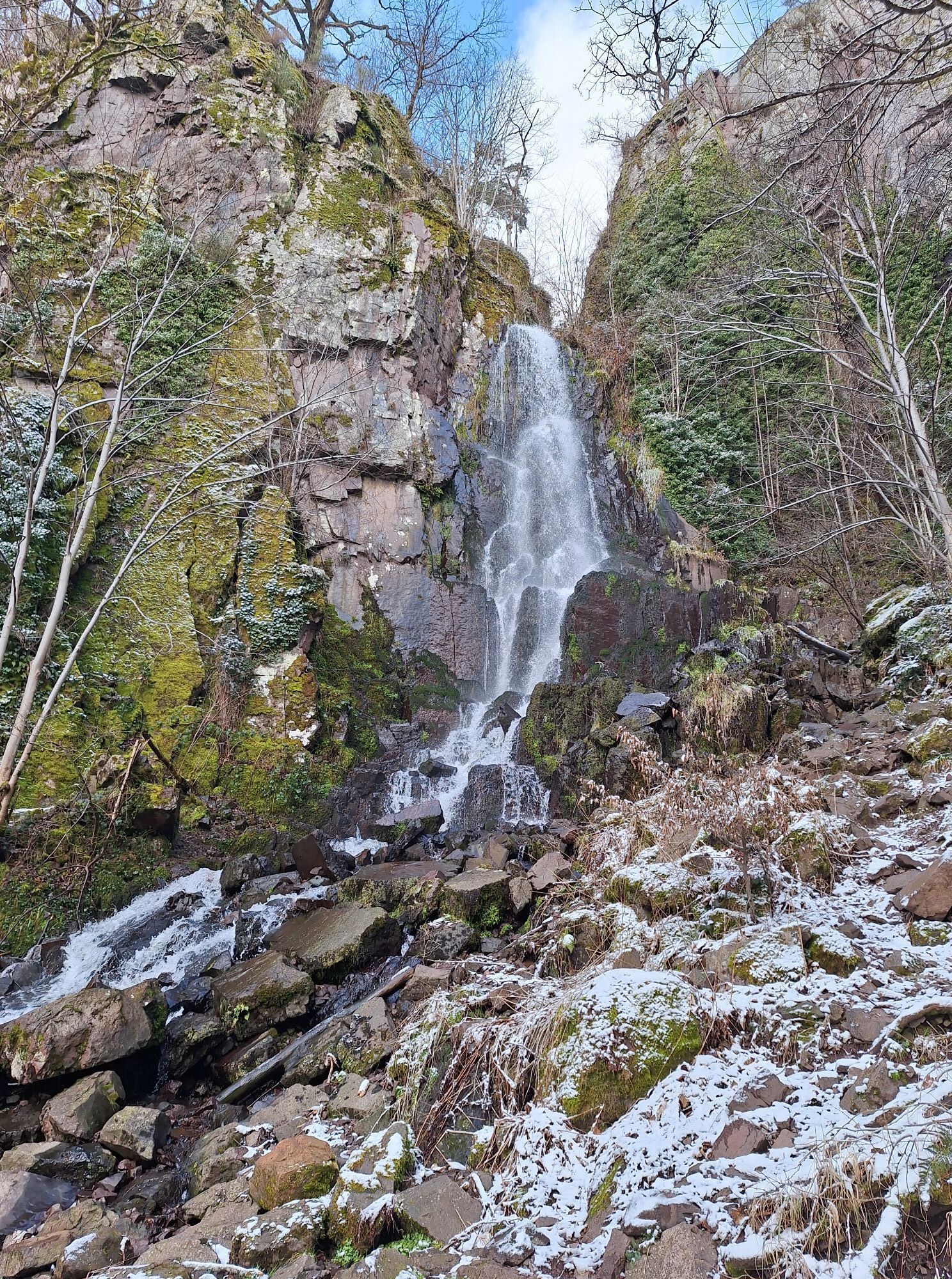
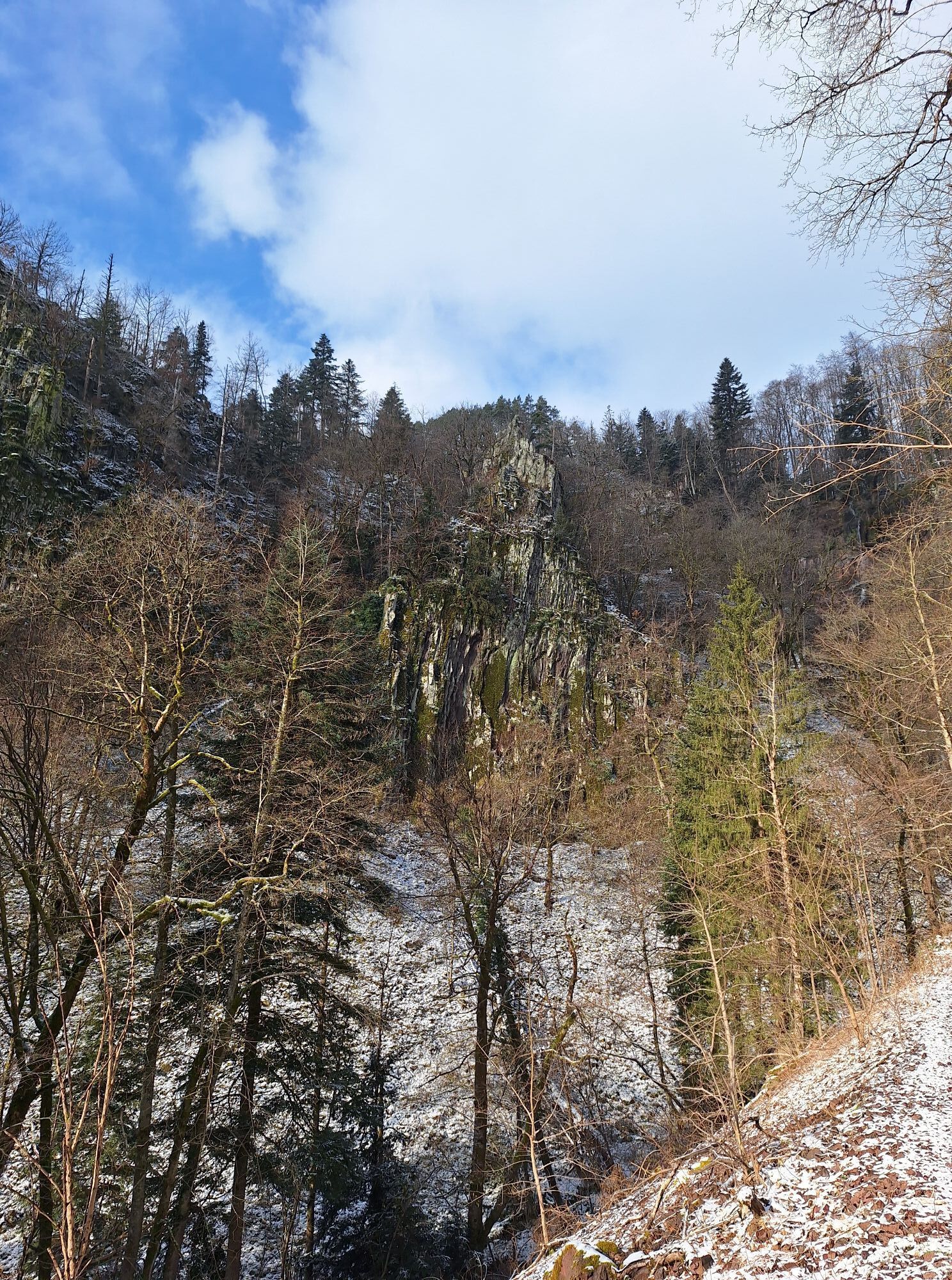
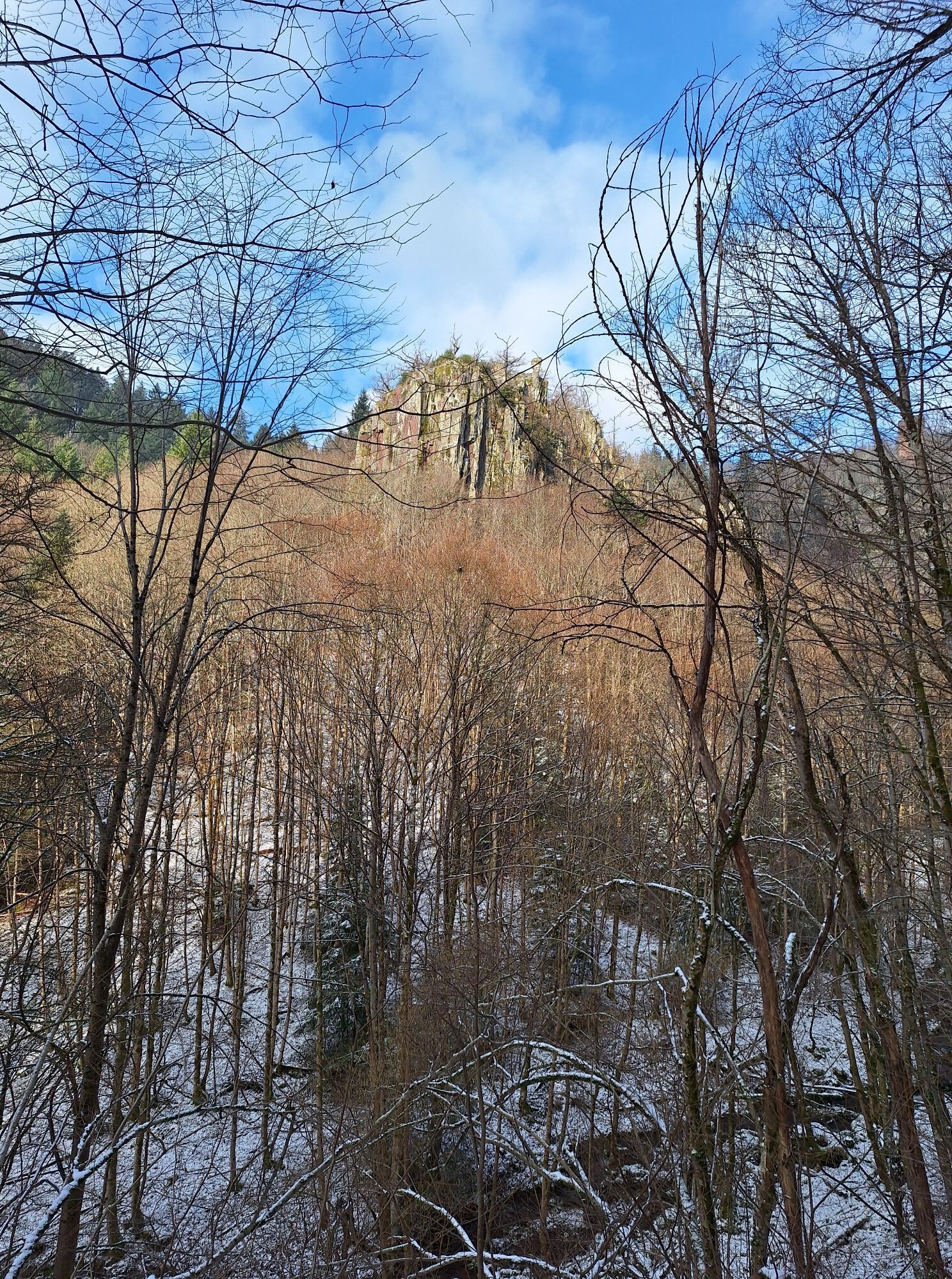
Beautiful route discovering the Middle Vosges and some of its finest sites, the castles of Wangenbourg and Nideck, the Schneeberg, the Nideck waterfall passing by the Saint-Florent Collegiate Church in...
Beautiful route discovering the Middle Vosges and some of its finest sites, the castles of Wangenbourg and Nideck, the Schneeberg, the Nideck waterfall passing by the Saint-Florent Collegiate Church in Niederhaslach, which is worth a small detour.
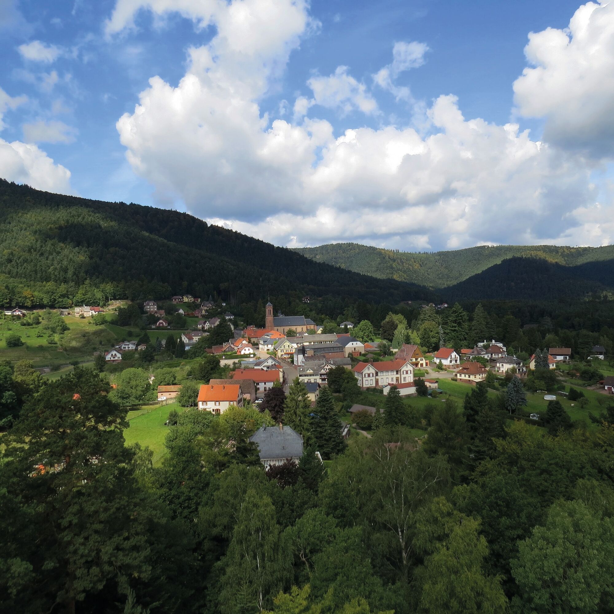
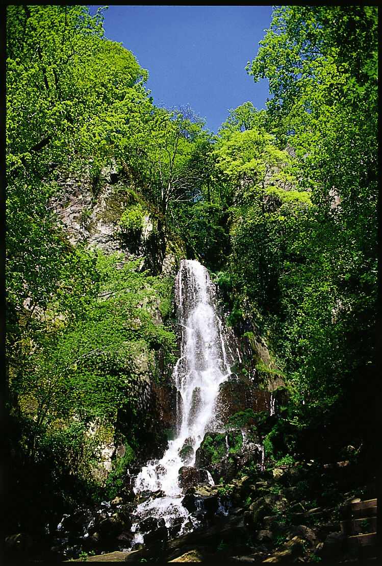
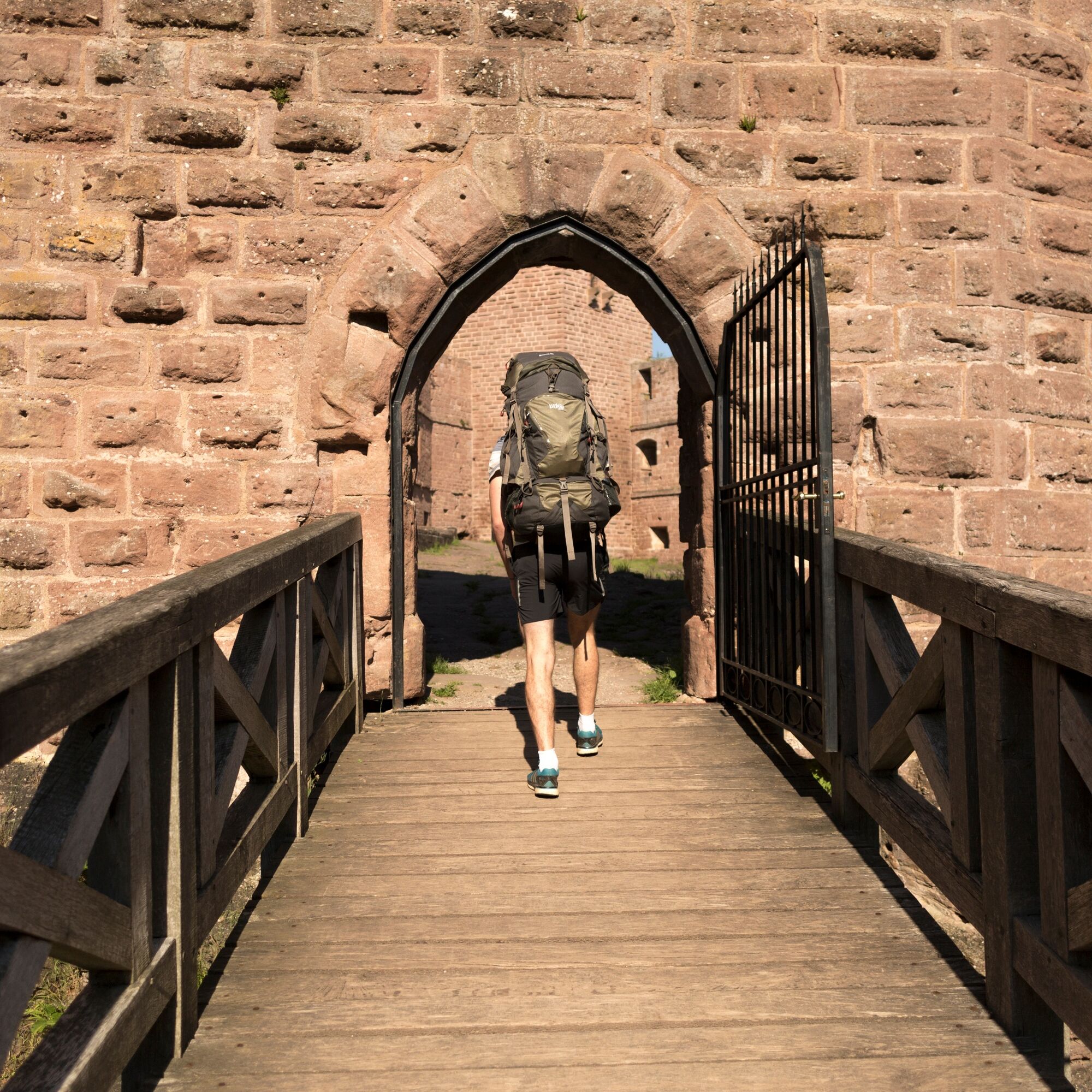
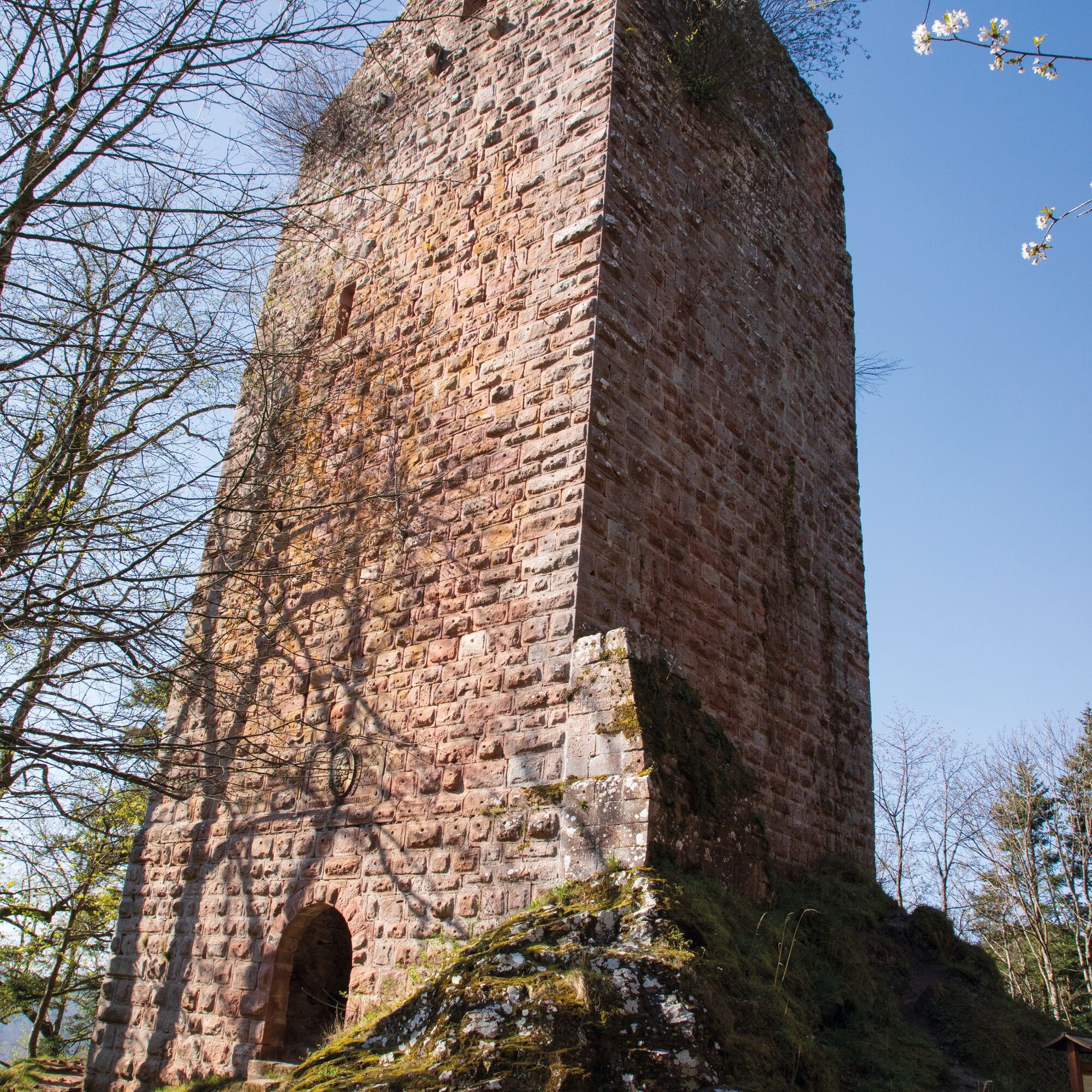
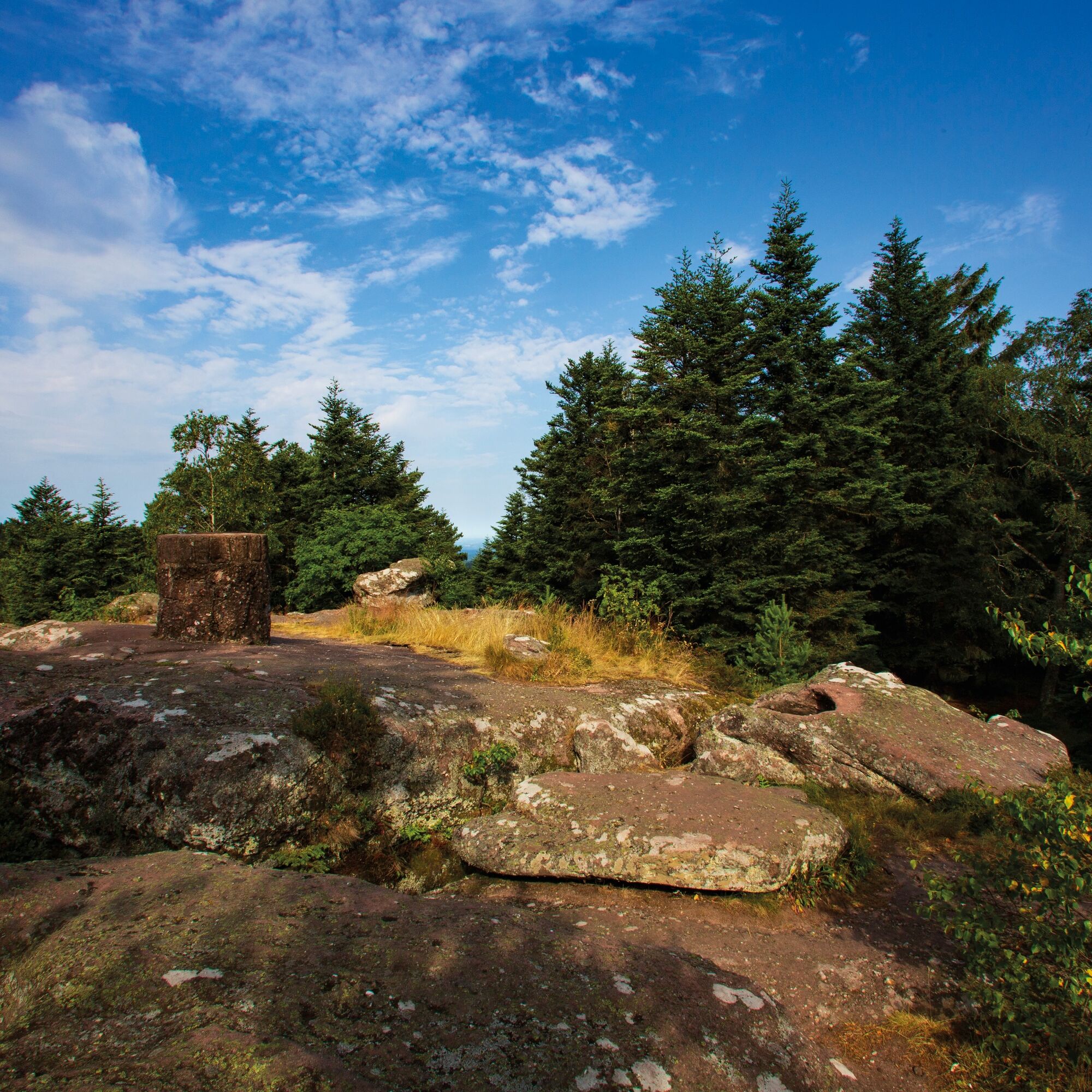
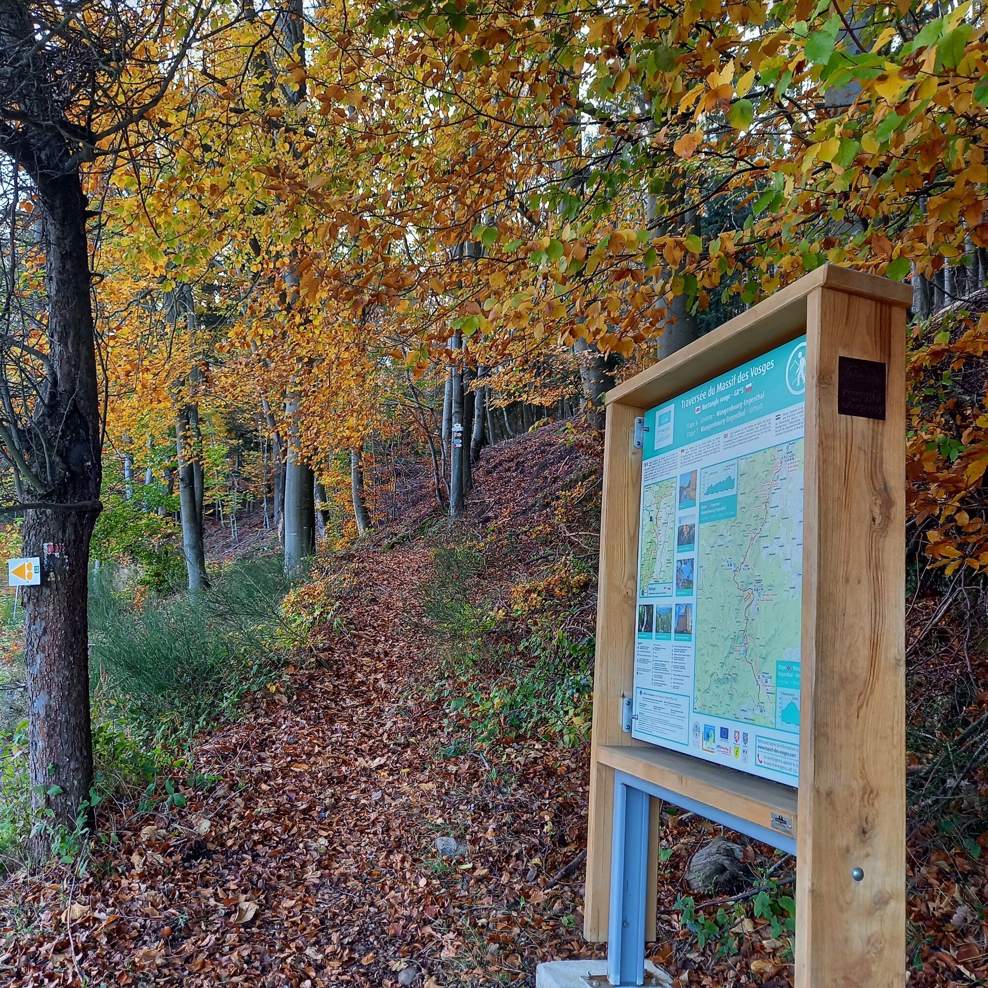
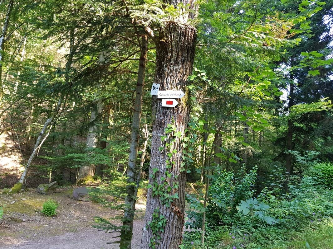

Follow the red rectangle marking of the Club Vosgien between Wangenbourg-Engenthal and Urmatt.
Tak
Recommended equipment
Clothing suited to the season and conditions (cold, hot, wet…)
Hiking shoes suitable for the terrain (even for children!)
Telescopic poles (useful for stability and to relieve joints)
Mobile phone and spare battery if needed
The following recommendations should be respected for good hiking practice. It is important to gather information about the route to be covered. Preparation and physical condition assessment are necessary.
Before leaving:
Check the general and local weather, ensuring the absence of precipitation
Inform yourself about the approach walk, route height, duration, possible exit points (IGN map, GPS, guidebook, etc.)
Assess possible risks by consulting mountain professionals, refuges, lodges
Inform someone close to you of your objective and contact them in case of change: departure and return times, number of participants with each phone number, vehicle(s), parking
Avoid going alone; use equipment suitable for the activity, adjusted and in good condition, headlamp, complete first aid kit, survival blanket, etc.
In case of problem
Call 112 (European emergency number)
5 key points to transmit your alert:
Where? municipality, place, route, altitude
Who? identity, phone number
What? accident type, number of victims, severity, fall dynamics
When? time of the accident
Weather? wind, visibility
Wangenbourg
www.fluo.eu
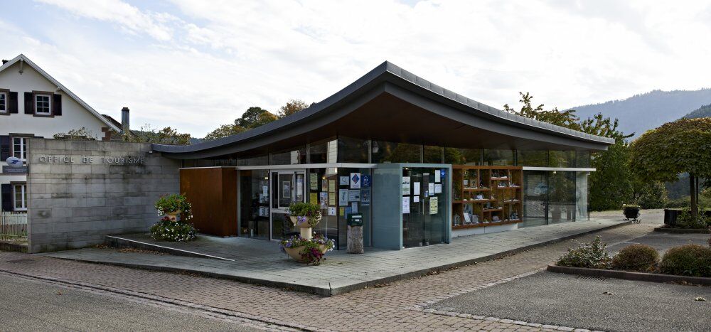
Free parking in front of the Mossig et Vignoble Tourist Office
Mossig et Vignoble Intercommunal Tourist Office
32a General de Gaulle street
67710 Wangenbourg Engenthal
Tel: 03 88 87 33 50
info.wangenbourg@mossig-vignoble-tourisme.fr
www.mossig-vignoble-tourisme.fr
Red rectangle marking of the Club Vosgien (GR® 53 Grande Randonnée route by the French Hiking Federation).
It is advisable to book accommodations in advance of the hike during high season.
Popularne wycieczki w okolicy
Hiking circuit B02: The Mutzig rock and the Porte de Pierre
średniWędrówka 10,9 kmCrossing of the Vosges Massif - Stage 08 - Urmatt - Schirmeck
ciężkidługodystansowy szlak pieszy 33,2 km- 5,0
Les Deux Donon
średniWędrówka 18 km Crossing of the Vosges Massif - Stage 06 - Saverne - Wangenbourg - Engenthal
średnidługodystansowy szlak pieszy 25,7 km- 5,0
Circuit of the Baerenloch washhouse
średniWędrówka 19,1 km Micro Aventure 3 Traversée du Massif des Vosges - Sur le sentier enchanté
średniWędrówka 42,8 kmMTB Base Route 2 La Suisse d'Alsace
średniMountainbike 29,2 km- 5,0
Hiking circuit D06: The Petit Donon, sanctuary of the Great War
średniWędrówka 6,98 km Hike circuit D03: Fortified positions north of Donon
średniWędrówka 8,39 kmMountain Bike Base Circuit 1 La Mossig
światłoMountainbike 20,1 km
Wędrówki i tropienie


Nie przegap ofert i inspiracji na następne wakacje
Twój adres e-mail została dodana do listy mailingowej.





