


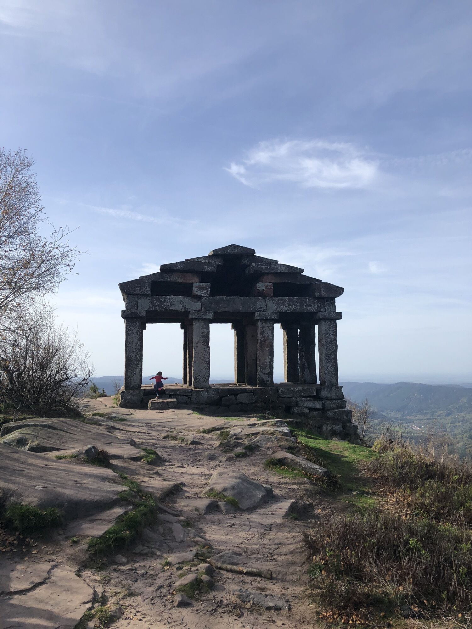
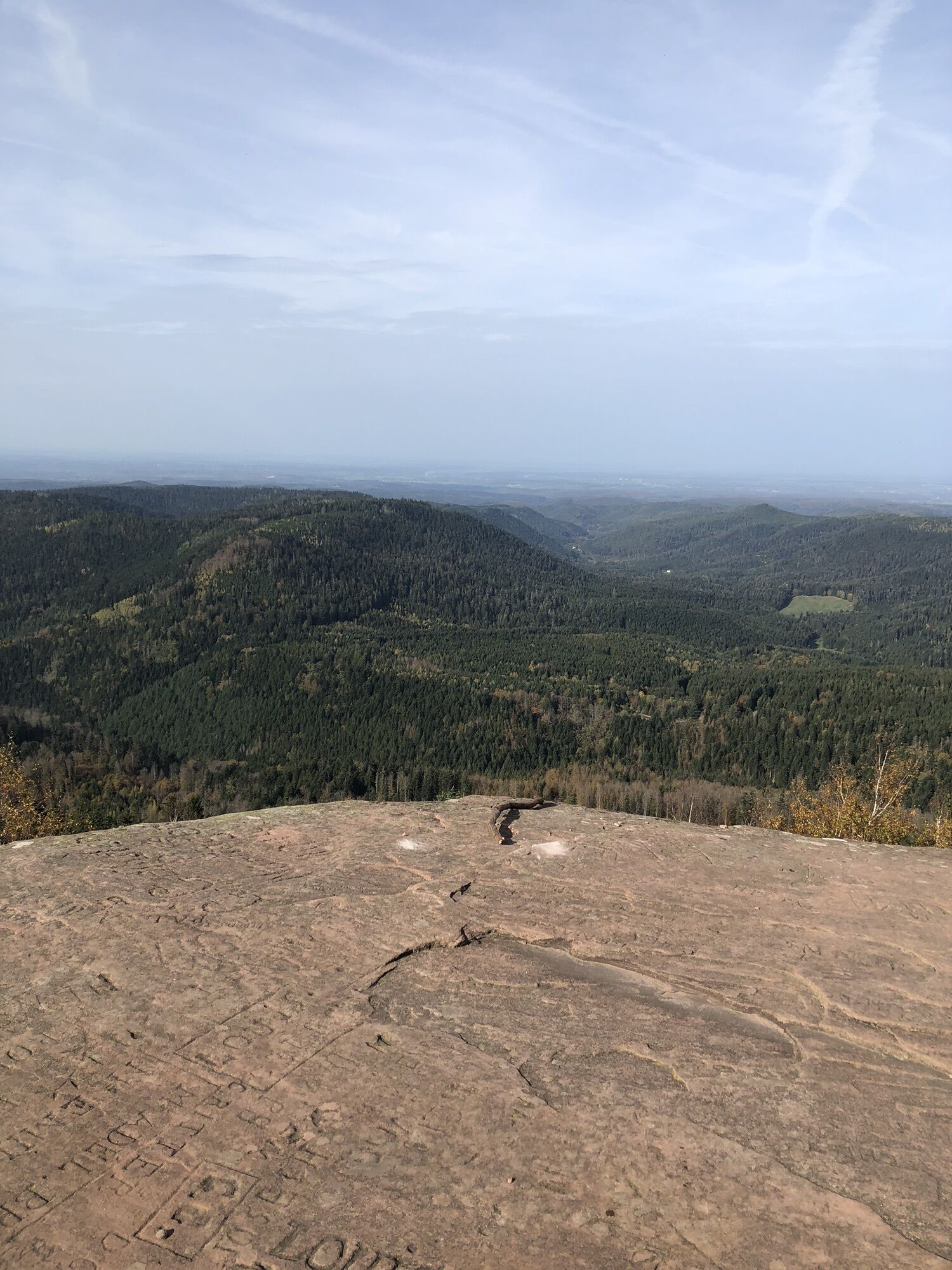
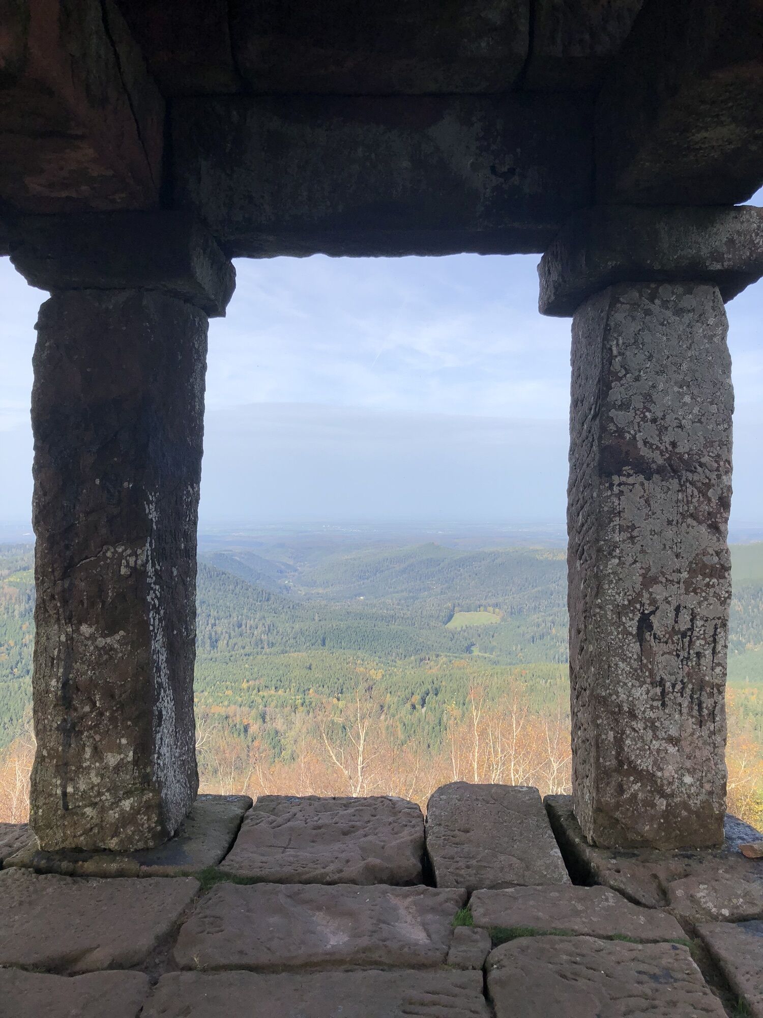
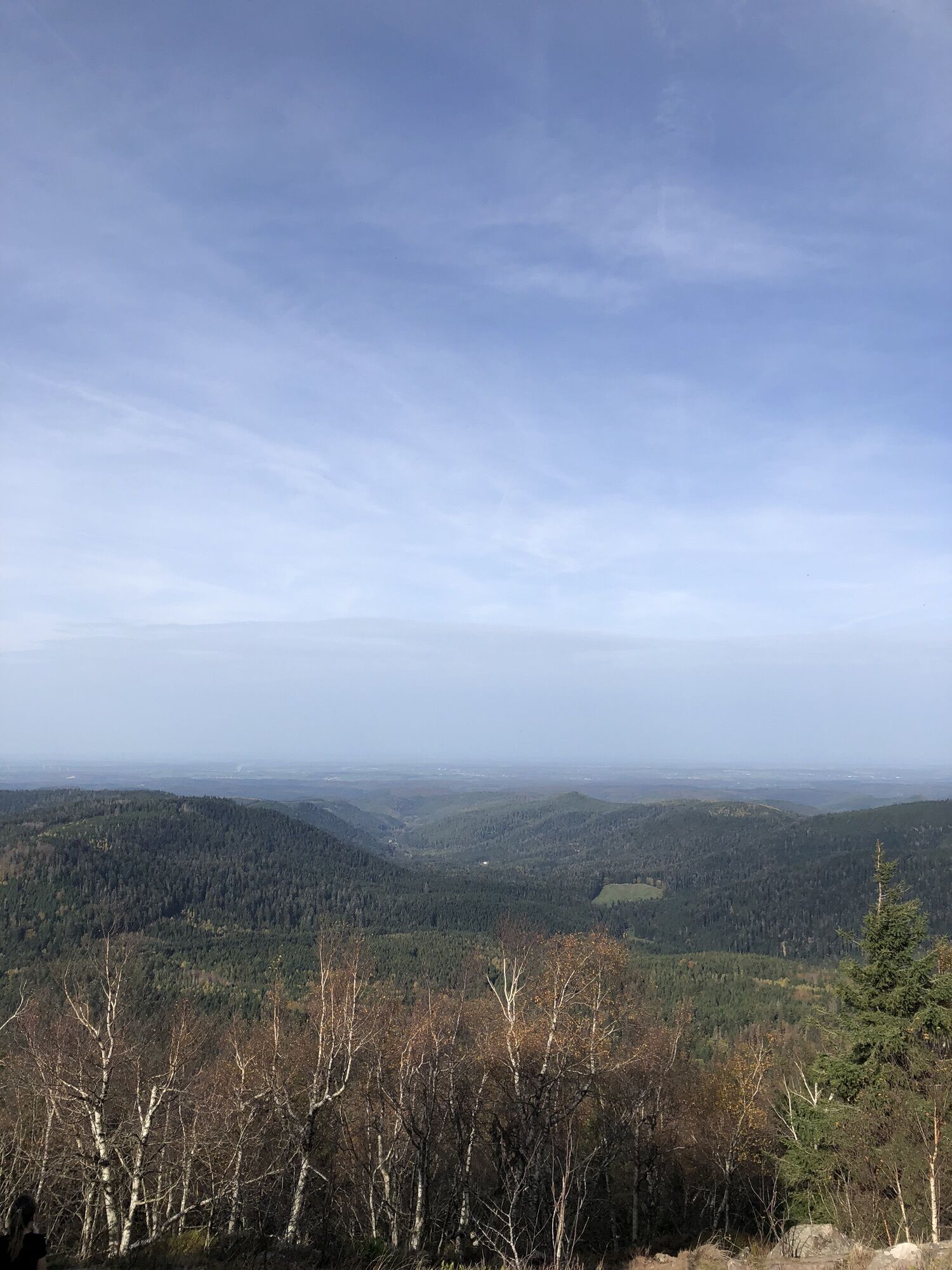
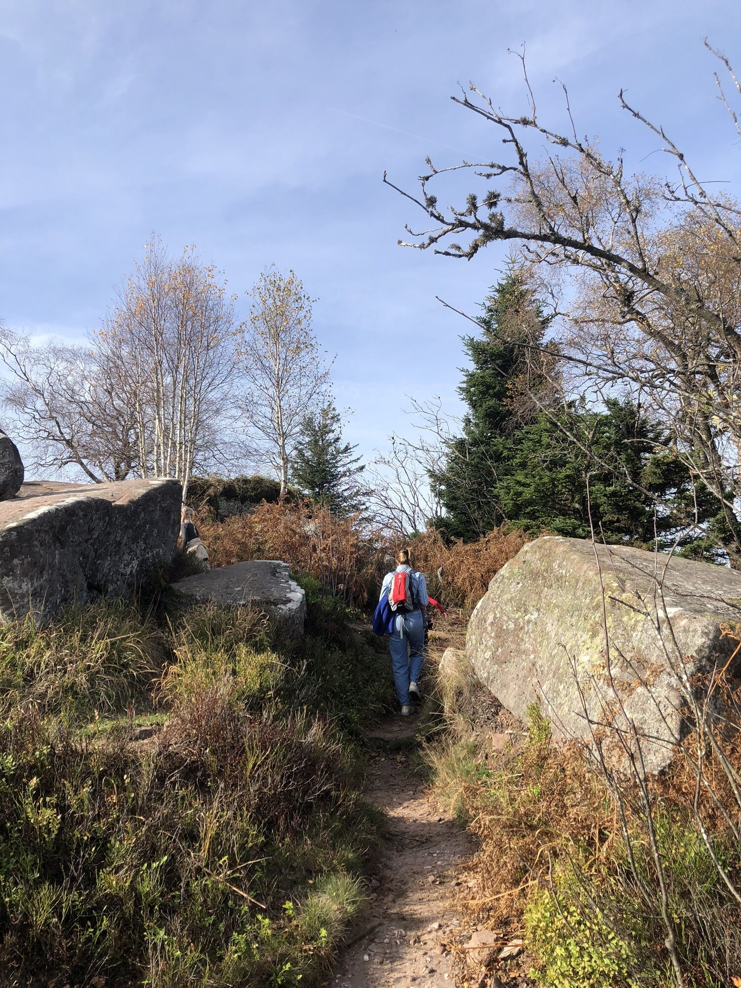
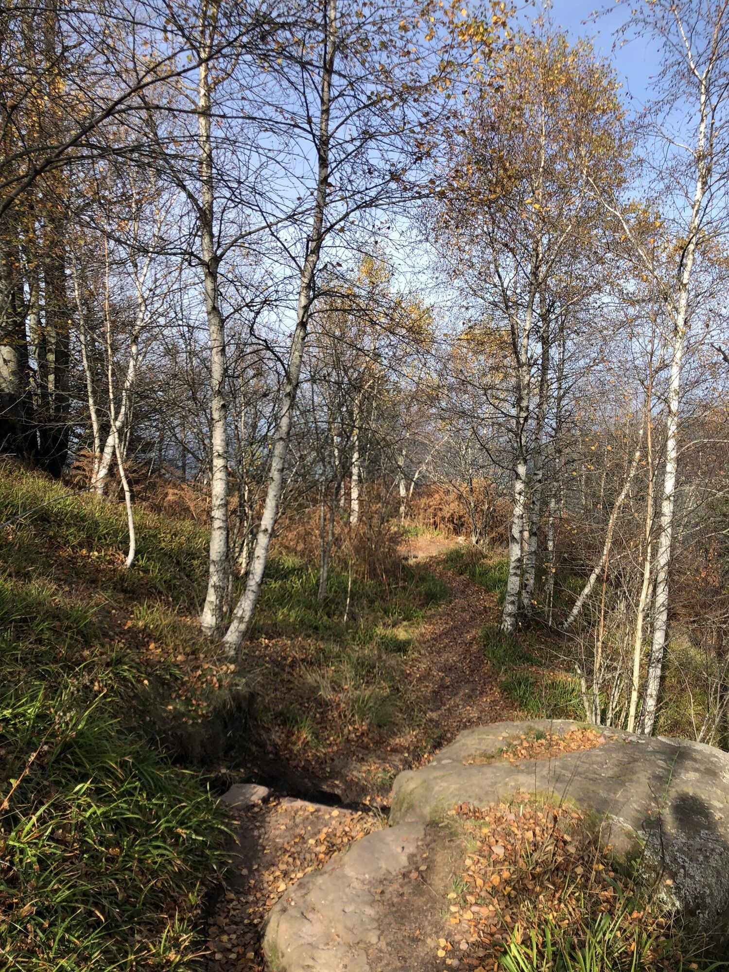
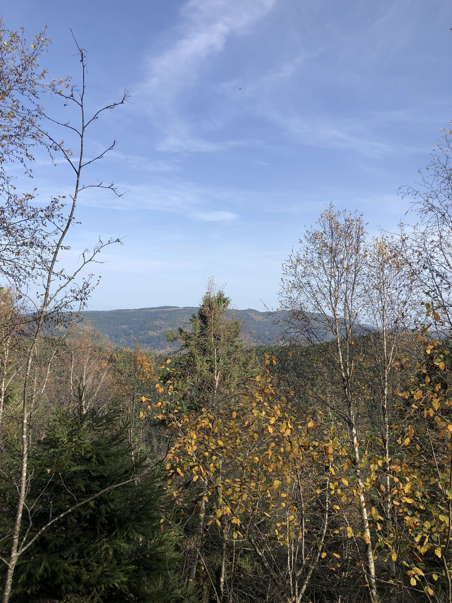
Hiking circuit D06: The Petit Donon, sanctuary of the Great War
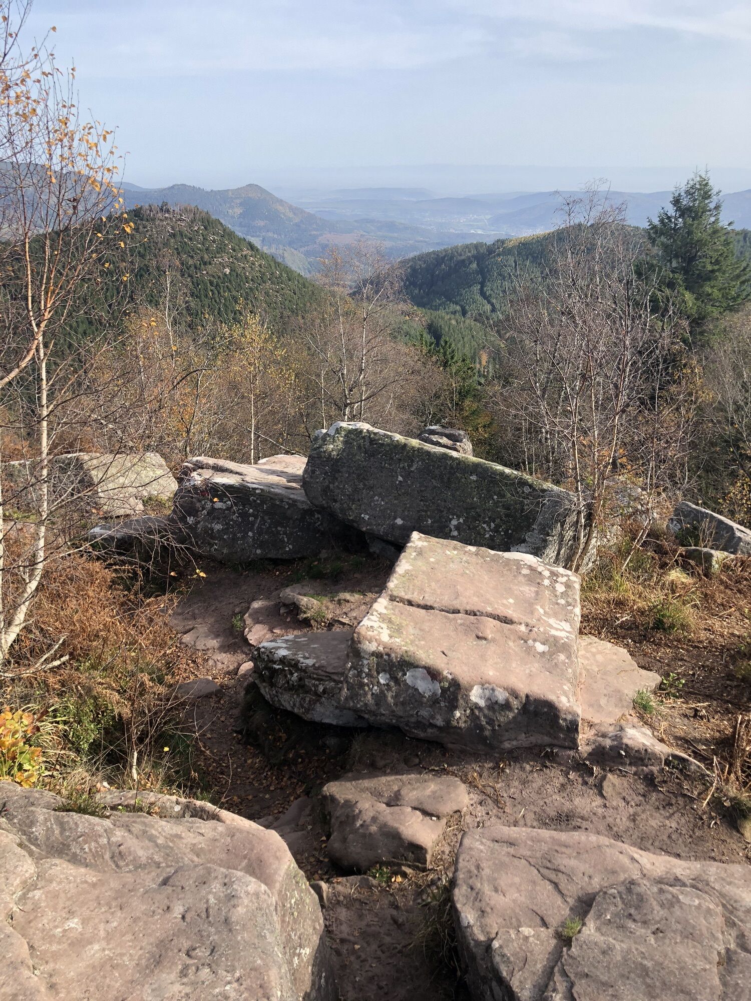
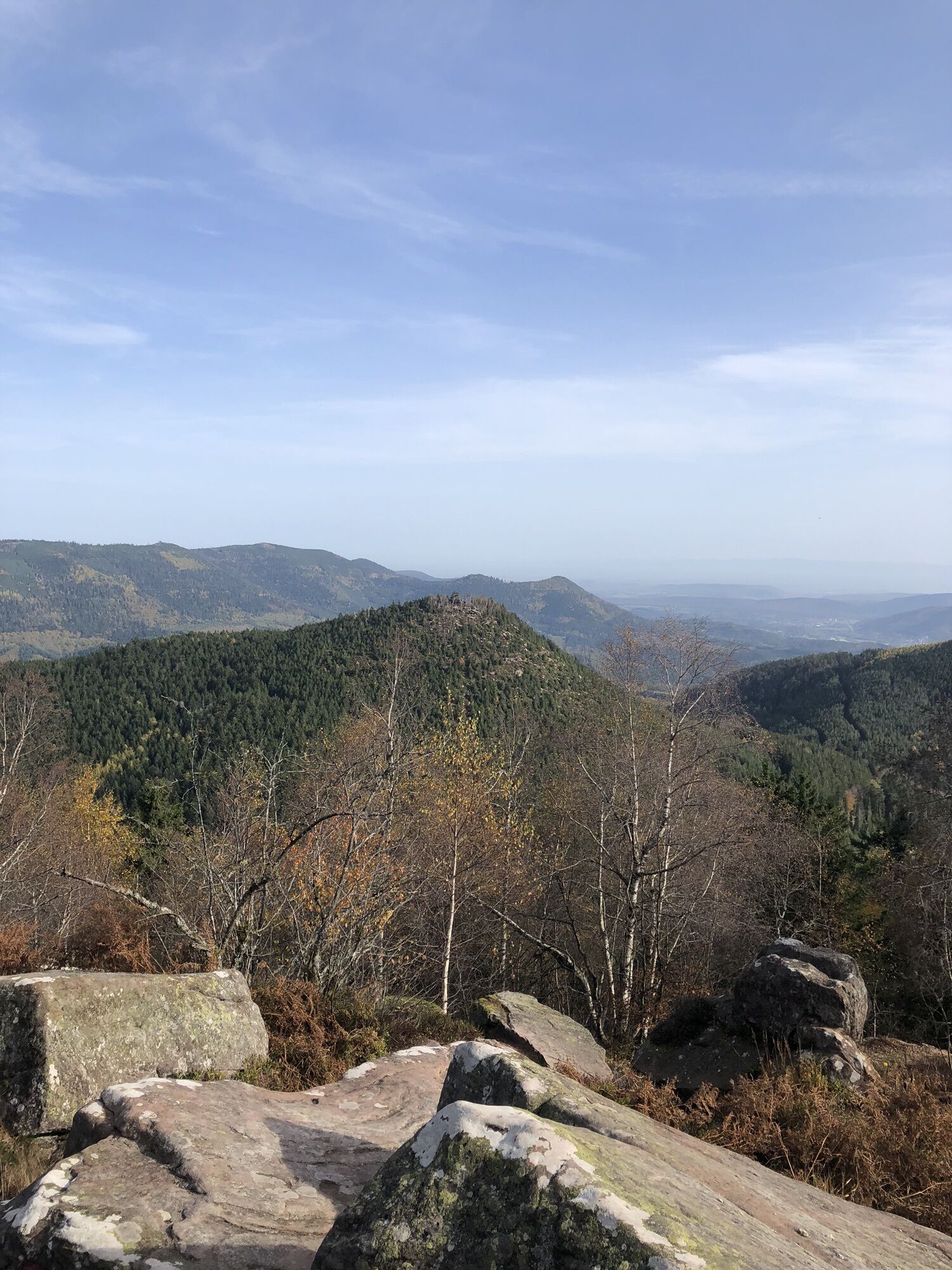
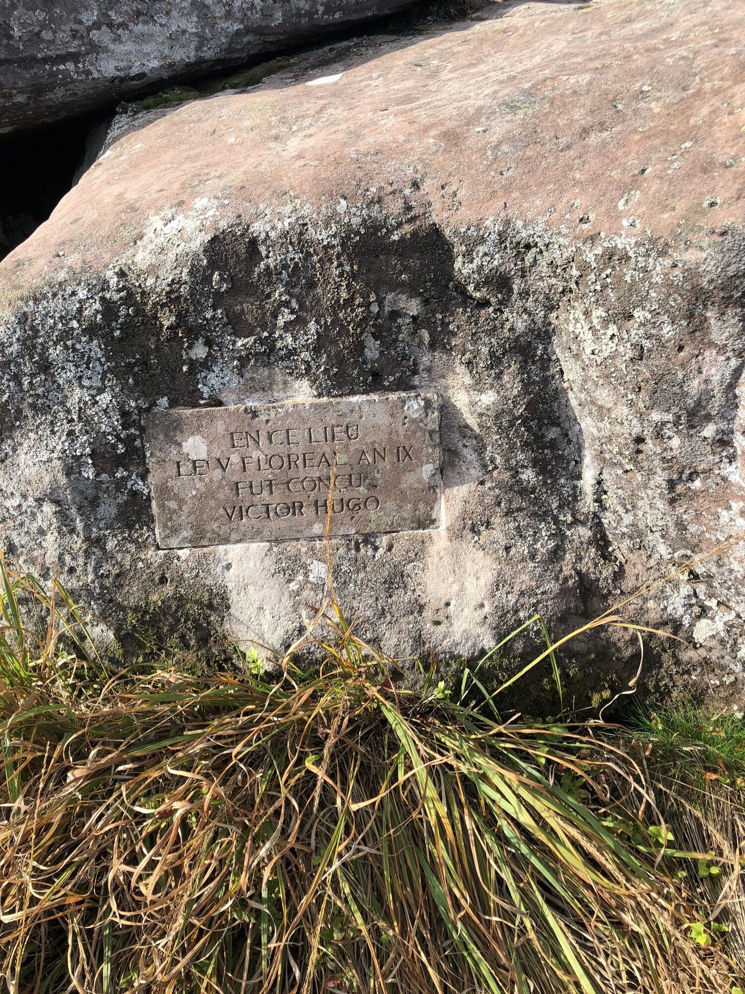
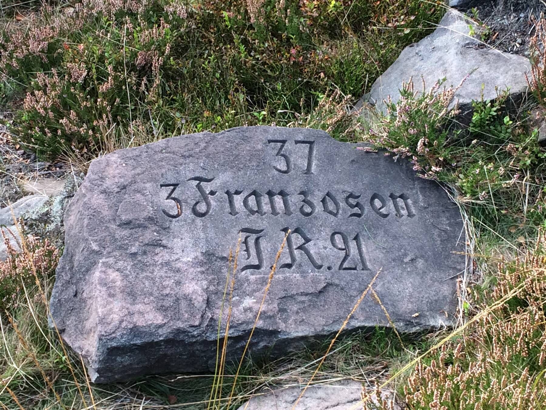
In 1916, the German authorities placed about 180 pink sandstone steles engraved in memory of the French and German soldiers fallen here. The Petit Donon, after having been a battlefield, became an open-air...
In 1916, the German authorities placed about 180 pink sandstone steles engraved in memory of the French and German soldiers fallen here. The Petit Donon, after having been a battlefield, became an open-air necropolis for soldiers from both sides.

https://apps.tourisme-alsace.info/photos/bruche/photos/215003936_d1.pdf
Tak
Tak
Recommended equipment
Clothing adapted to the season and conditions (cold, hot, humid…)
Hiking shoes suited to the terrain (even for children!)
Telescopic poles (useful for stability and to relieve joints)
Mobile phone and spare battery if needed
In case of problem
Call 112 (European emergency number)
5 key points to relay your alert:
Where? municipality, place, route, altitude
Who? identity, phone number
What? type of accident, number of victims, severity, fall dynamics
When? time of the accident Weather? wind, visibility
On road D145, in Grandfontaine (67130)
Parking at Col de la Côte de l'Engin
TOURIST OFFICE OF THE BRUCHE VALLEY
114 Grand Rue
Maison de la Vallée
67130 Schirmeck
Tel: 03 88 47 18 51
tourisme@valleedelabruche.fr

Popularne wycieczki w okolicy
-
Hiking circuit B02: The Mutzig rock and the Porte de Pierre
średniWędrówka 10,9 km -
Crossing of the Vosges Massif - Stage 08 - Urmatt - Schirmeck
ciężkidługodystansowy szlak pieszy 33,2 km -
5,0
Les Deux Donon
średniWędrówka 18 km -
Hiking circuit D04: Southern fortified positions of Donon
średniWędrówka 12,0 km -
Crossing of the Vosges Massif - Stage 07 - Wangenbourg-Engenthal - Urmatt
średnidługodystansowy szlak pieszy 17,6 km -
Crossing of the Vosges Massif - Stage 09 - Schirmeck - Le Hohwald
ciężkidługodystansowy szlak pieszy 23,2 km -
Family walk: Little Princes' routes in the Principality of Salm
światłoWędrówka 6,28 km -
Family route: Around Belmont
średniWędrówka 6,36 km -
Hiking circuit: Salm and the Hanging Cat
średniWędrówka 6,16 km -
5,0
Hiking circuit C10: The Serva waterfall
średniWędrówka 8,52 km
Wędrówki i tropienie


Nie przegap ofert i inspiracji na następne wakacje
Twój adres e-mail została dodana do listy mailingowej.