






Lochberg Farm Inn Route - Walk accompanied by centenary beeches
A 1h30 route starting from the farm inn located at 900 m altitude
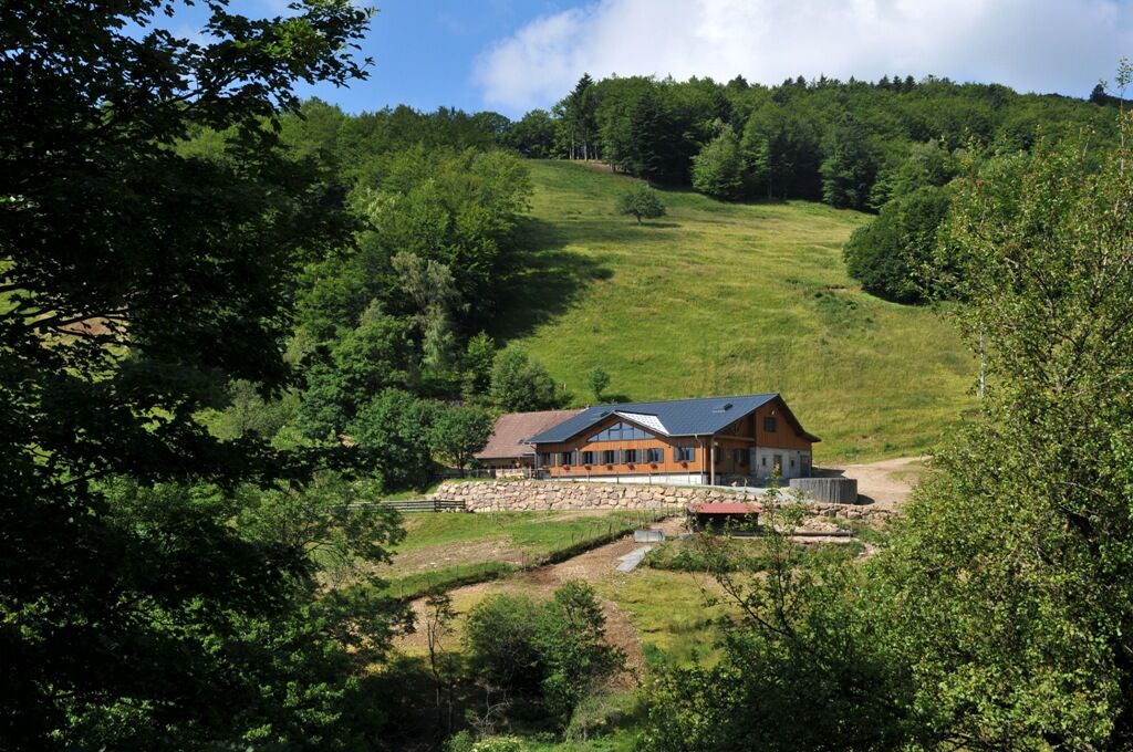
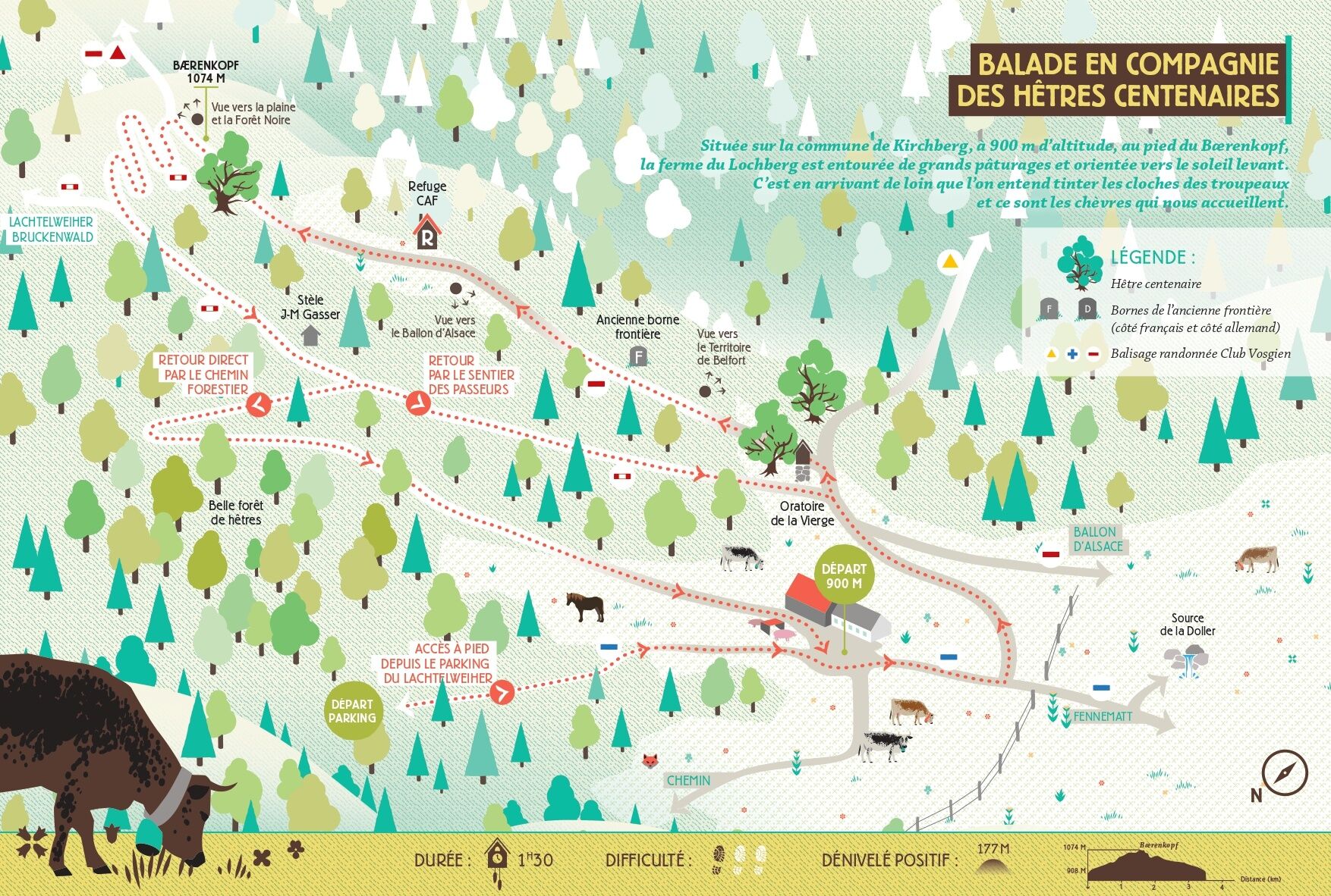
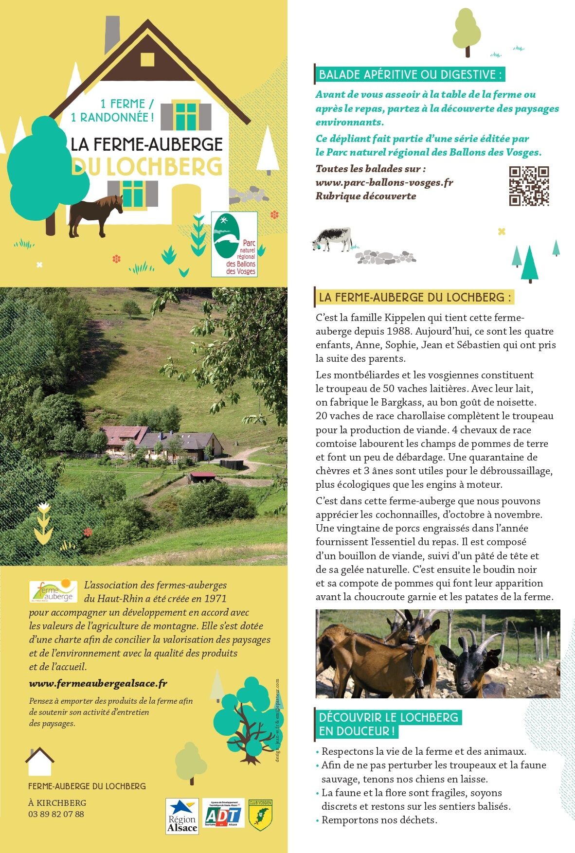
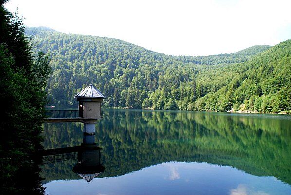
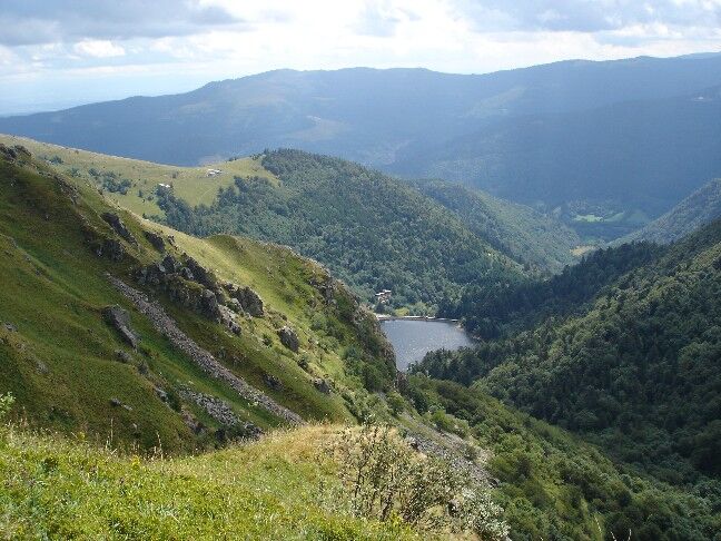
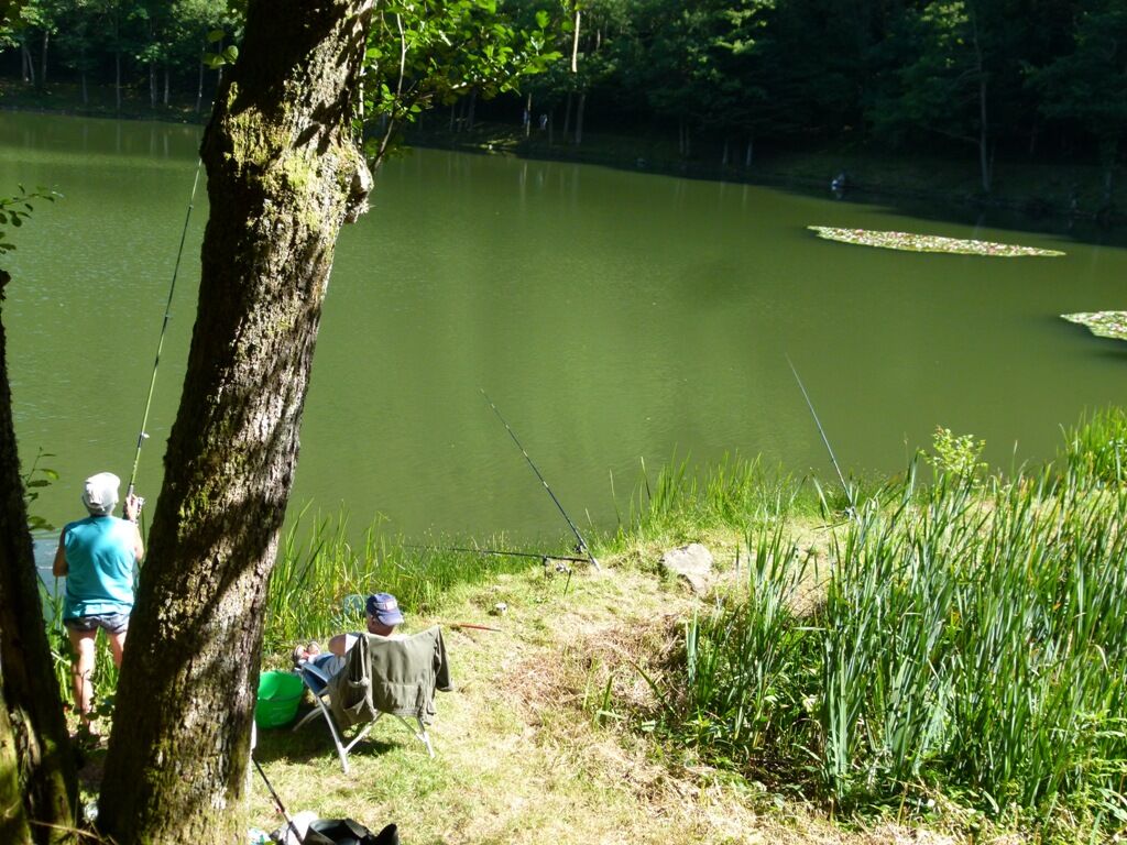
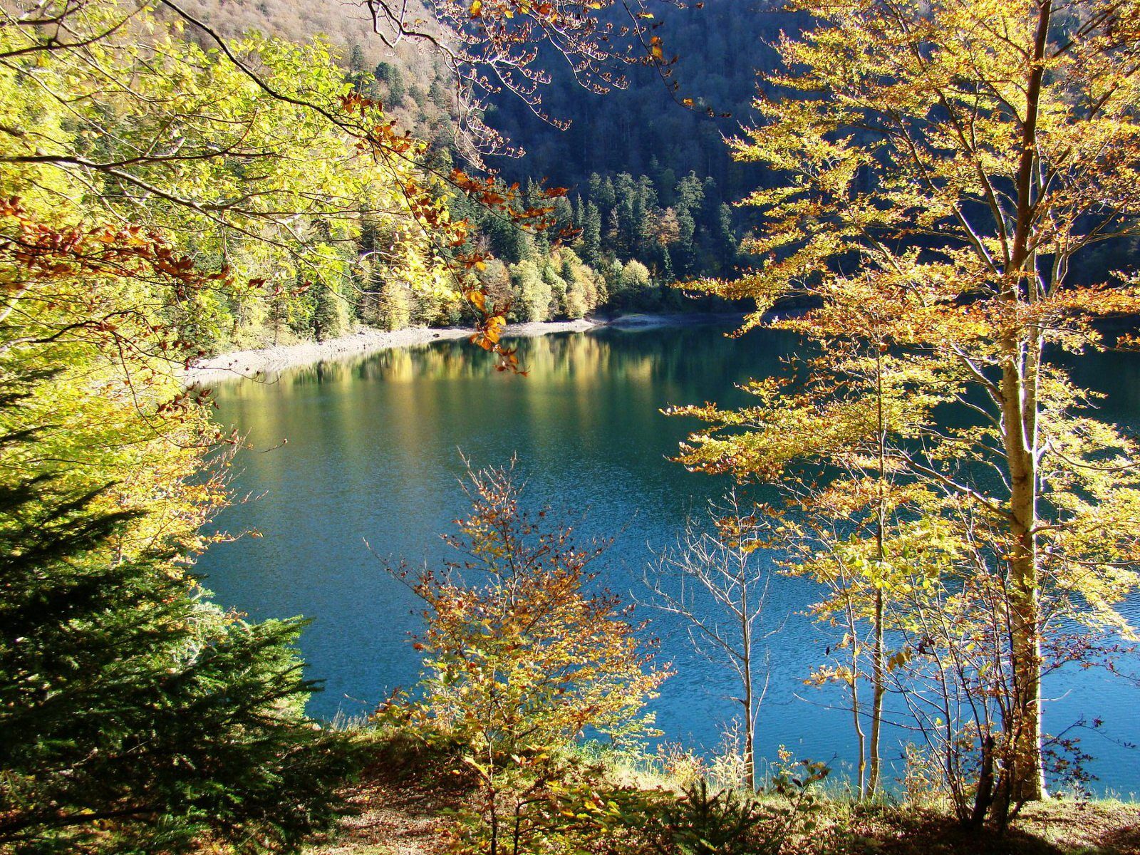
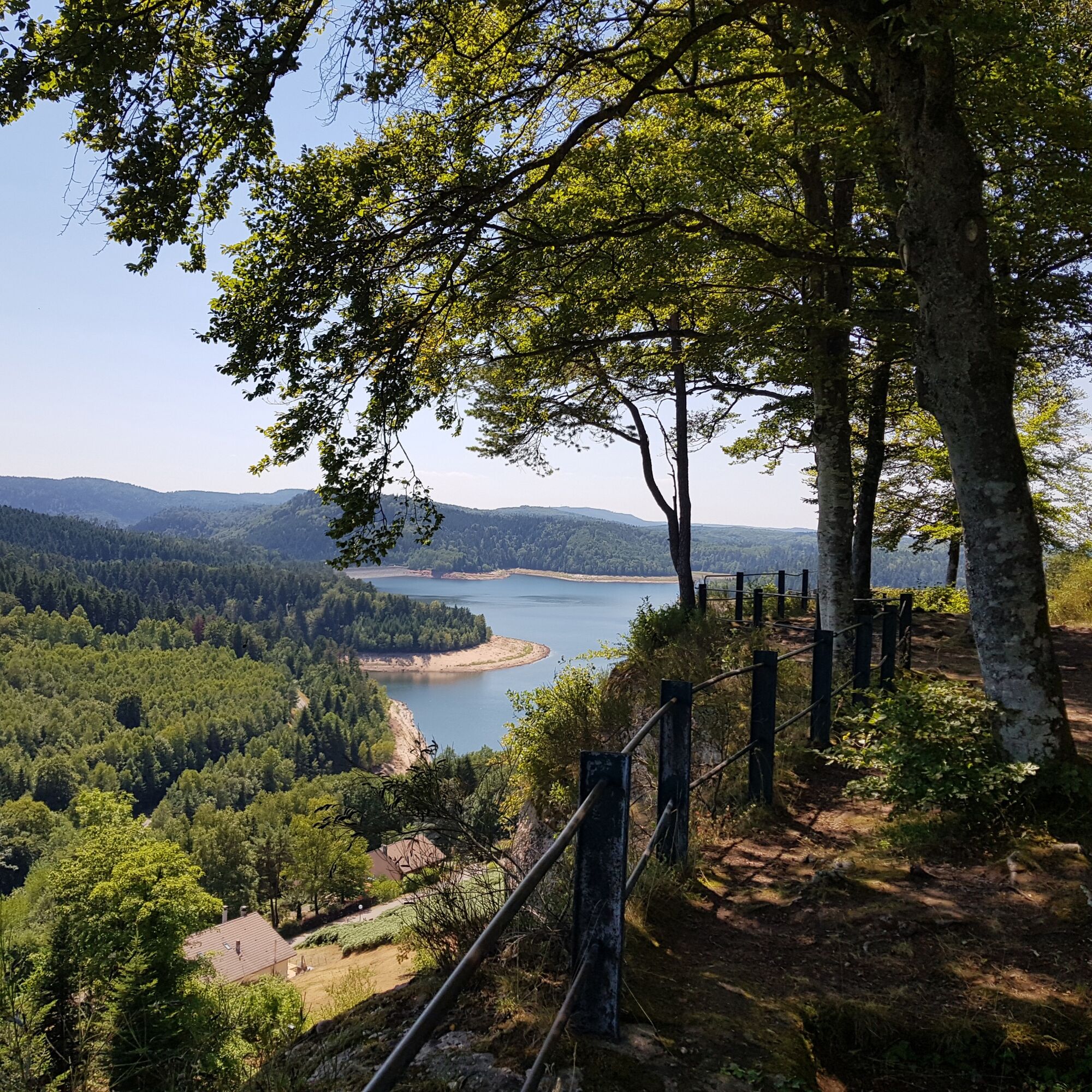

A 1h30 route starting from the farm inn located at 900 m altitude following the instructions on the descriptive leaflet.
descriptive leaflet
Starting from the parking of the Gustiberg farm inn (Urbès) follow the blue rectangle path then turn towards the Col du Lochberg. Follow the blue ring marking up to the Baerenkopf shelter. Beautiful views along the way! Descend back to the Lochberg farm inn passing by the stele.
Tak
Tak
Clothing adapted to the season and conditions (cold, hot, humid…)
Hiking shoes suitable for the terrain (even for children!)
Hiking poles (useful for stability and to relieve joints)
Mobile phone and spare battery
Check the general and local weather ensuring there is no precipitation
Get information on the approach walk, route height, travel time, possible escape (IGN map, GPS, guidebook, etc.)
Assess possible risks by consulting mountain professionals, shelter, lodges
Inform a close contact of your objective and contact them again in case of changes: departure and return times, number of participants with each phone number, vehicle(s), parking
Avoid going alone, use equipment suitable for the activity, adjusted and in good condition, headlamp, complete first aid kit, survival blanket, etc.
In case of problem, call 112 (European emergency number)
From the D466 in the Masevaux Valley
www.fluo.eu
Free parking at the farm inn
An invitation to enjoy the pleasures of the table and health-hiking: pure pleasure ahead!
Popularne wycieczki w okolicy
-
5,0
Discovery trail circuit at the Ballon d'Alsace
średniWędrówka 2,69 km -
The Thannerhubel at Bourbach-le-Haut
średniWędrówka 7,32 km -
Crossing of the Vosges Massif - Stage 17 - Thann - Ballon d'Alsace
ciężkidługodystansowy szlak pieszy 27,8 km -
5,0
HIKING - THE STATUE OF SAINTE BARBE VIA THE ROCHES DU SABBAT
średniWędrówka 10,1 km -
Walk at Bruckenwald Farmhouse Inn "On the old border"
średniWędrówka 6,41 km -
Crossing of the Vosges Massif - Stage 19 - Giromagny - Belfort
średnidługodystansowy szlak pieszy 21,9 km -
Crossing of the Vosges Massif - Stage 18 - Ballon d'Alsace - Giromagny
średnidługodystansowy szlak pieszy 12,3 km -
Farm-Auberge Grand Langenberg walk "Towards the wild forests of the Ballon d'Alsace"
średniWędrówka 6,93 km -
Walk Farm-Auberge Baerenbach "Along the three streams"
średniWędrówka 4,78 km -
The Belacker and Gsang MTB FFC route no. 22
średniMountainbike 36,7 km
Wędrówki i tropienie


Nie przegap ofert i inspiracji na następne wakacje
Twój adres e-mail została dodana do listy mailingowej.





