


HIKING - THE STATUE OF SAINTE BARBE VIA THE ROCHES DU SABBAT

The Gpx tracks can be downloaded above, as well as the hiking sheet. IGN reference map 3619 OT or customized Bussang map only available at the Bussang Tourist Office
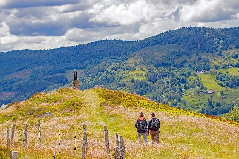

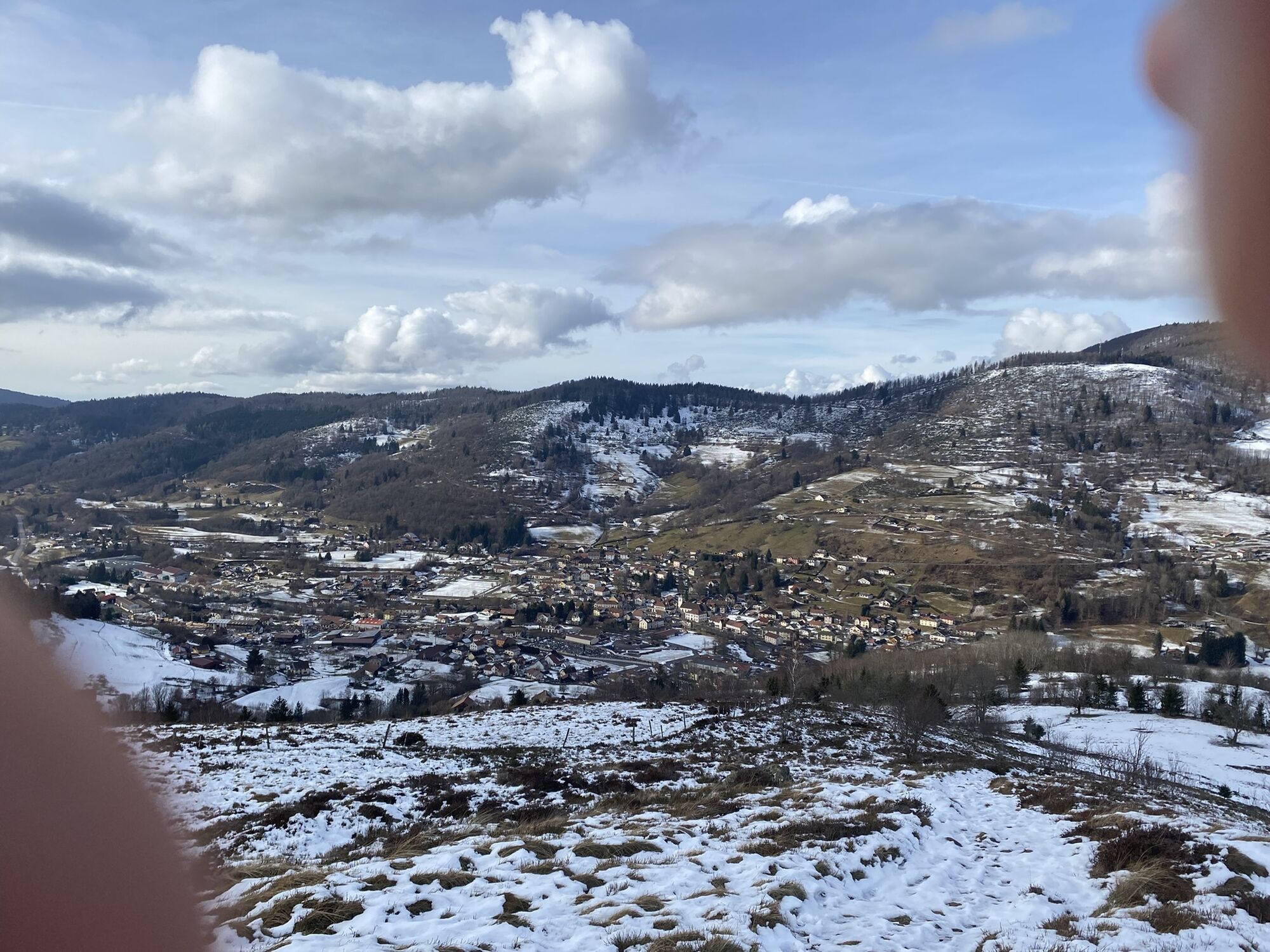
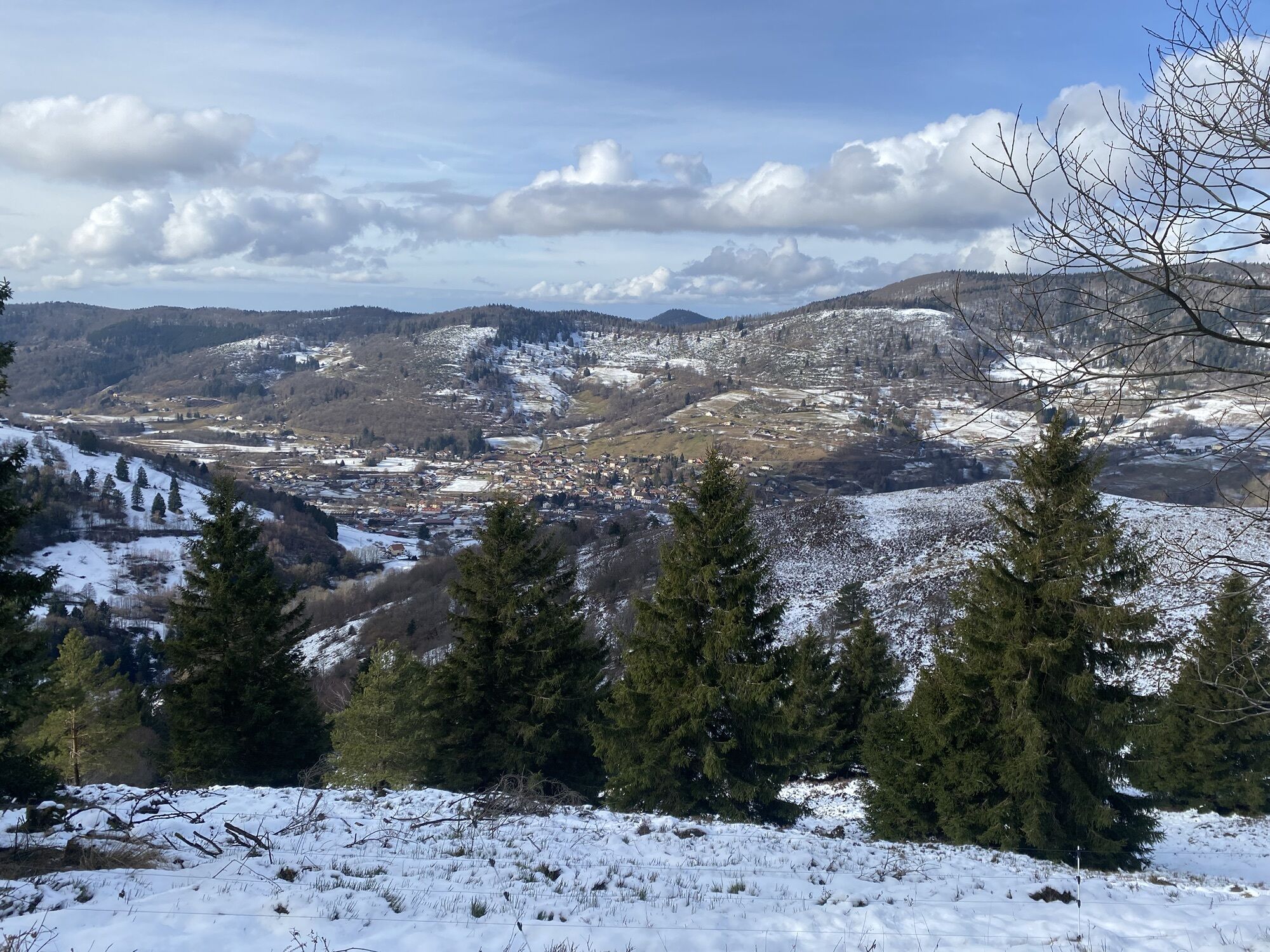
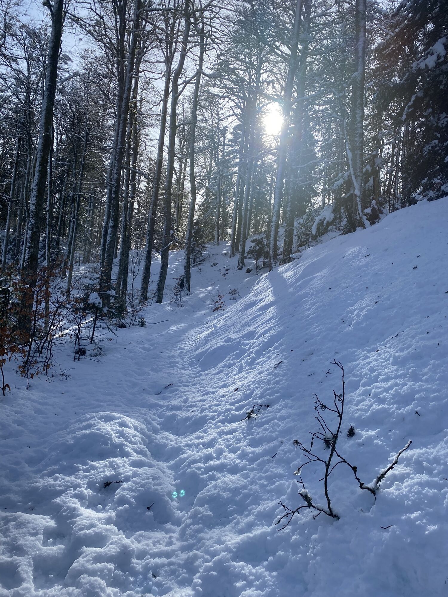
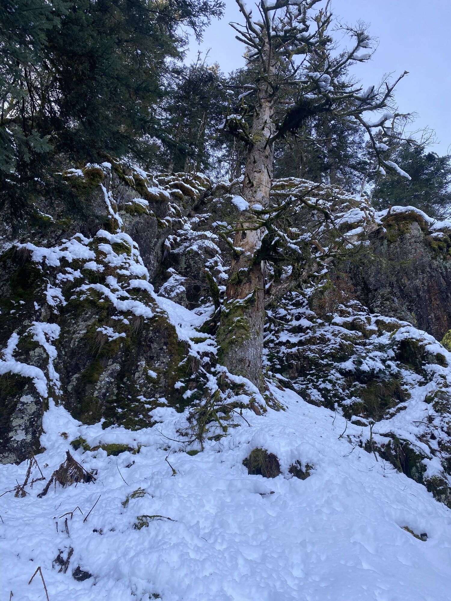
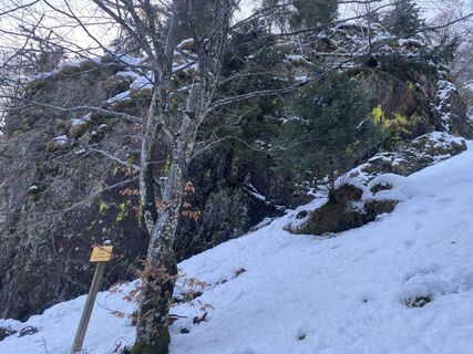
Access: Bussang center, Tourist Office. Starting point: Tourist office parking lot. Distance: 9.5 km or 6.5 km. Duration: 4 h or 2 h 30. Elevation gain: +554 m or +328 m. Markings: green disk - yellow disk - yellow panel - red triangle - green disk. From the Tourist Office, take Lamerey street that goes up towards Bouloie and quickly turn left into "rue du Breuil" which runs along the cemetery. Follow this road for about 450 m. Then take the green disk path on the right which runs along a house for 100 m and reaches Chazal road. Go down this road to the left for about 100 m before taking the green disk path on the right "Rouge Gazon via Meuselotte, Roches du Sabbat, Neufs Bois". Pass by the locality Meuselotte before reaching a road where there are 2 farms. At the second farm, take the green disk path on the right "Rouge Gazon via Neufs Bois" which climbs and crosses a park. The ascent is gradual for about 800 meters. Then continue on a wider path to the right for 500 meters. At the next crossroads is Croix Grosjean. Variant: possibility to shorten the hike by taking the "chemin de Lameraie" blue-white-blue rectangle to go directly to the Evaux chalet and take the descending path following the red triangle to the bench (for the rest, refer to the last paragraph: At the bench...). Continue on the green disk path which climbs for about 1 km and runs along the Roches du Sabbat. Arrive on a wide path and follow the yellow disk to the right "Chalet des crêtes - Noiregoutte". Pass near the Chalet des Crêtes. 200 m after the chalet, take the small path on the right which descends yellow panel "Evrard path" for about 400 m. At the junction with a wider path, follow this path to the right for about 150 m and take again the path below yellow panel "Evaux". At the next junction, take the red triangle path, which climbs quickly for 200 m. You overlook the statue of Sainte Barbe. At the bench, go down to the statue following the red triangle path. Keep an eye out and you might find a statuette of a virgin hidden in a tree along the path... Cross the pasture. Below the statue, still follow the red triangle to join the green disk path "Bussang". Return to the Tourist Office by taking the same path as the outward journey, green disk "Bussang"
Tak
Recommended equipment
Clothing adapted to the season and conditions (cold, hot, humid…)
Hiking shoes suitable for the terrain (even for children!)
Telescopic poles (useful for stability and to relieve joints)
Mobile phone and spare battery if needed
In case of problem
Call 112 (European emergency number)
5 key points to transmit your alert:
Where? municipality, place, itinerary, altitude
Who? identity, phone number
What? type of accident, number of victims, severity, fall dynamics
When? time of the accident
Weather? wind, visibility
Bussang
www.fluo.eu
Free parking
Bussang Tourist Office
03 29 61 50 37
www.ballons-hautes-vosges.com

Popularne wycieczki w okolicy
- 5,0
Discovery trail circuit at the Ballon d'Alsace
średniWędrówka 2,69 km Schafert Farmhouse Walk "Towards a 360 degree high view"
średniWędrówka 5,49 kmFelsach farm-inn walk "Towards a nature sanctuary"
średniWędrówka 6,81 kmThe Dukes' trail
średnidługodystansowy szlak pieszy 340,7 kmThe lake of Crows
średniWędrówka 5,65 kmCrossing the Vosges Mountains - Stage 17 - Thann - Ballon d'Alsace
ciężkidługodystansowy szlak pieszy 27,8 kmThe Thannerhubel at Bourbach-le-Haut
średniWędrówka 7,32 kmRide Farmhouse-Inn des Prenzières - On the way to the summer pasture
średniWędrówka 4,94 kmThe Tour des Ballons des Vosges
ciężkidługodystansowy szlak pieszy 286,3 kmFarm-Auberge Grand Langenberg walk "Towards the wild forests of the Ballon d'Alsace"
średniWędrówka 6,93 km

Wędrówki i tropienie


Nie przegap ofert i inspiracji na następne wakacje
Twój adres e-mail została dodana do listy mailingowej.