



The Tour des Ballons des Vosges

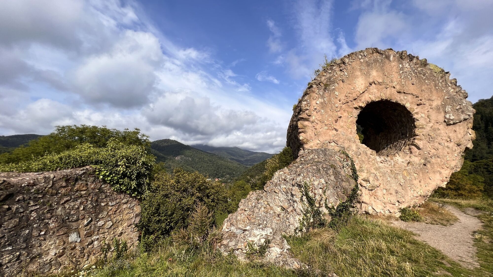
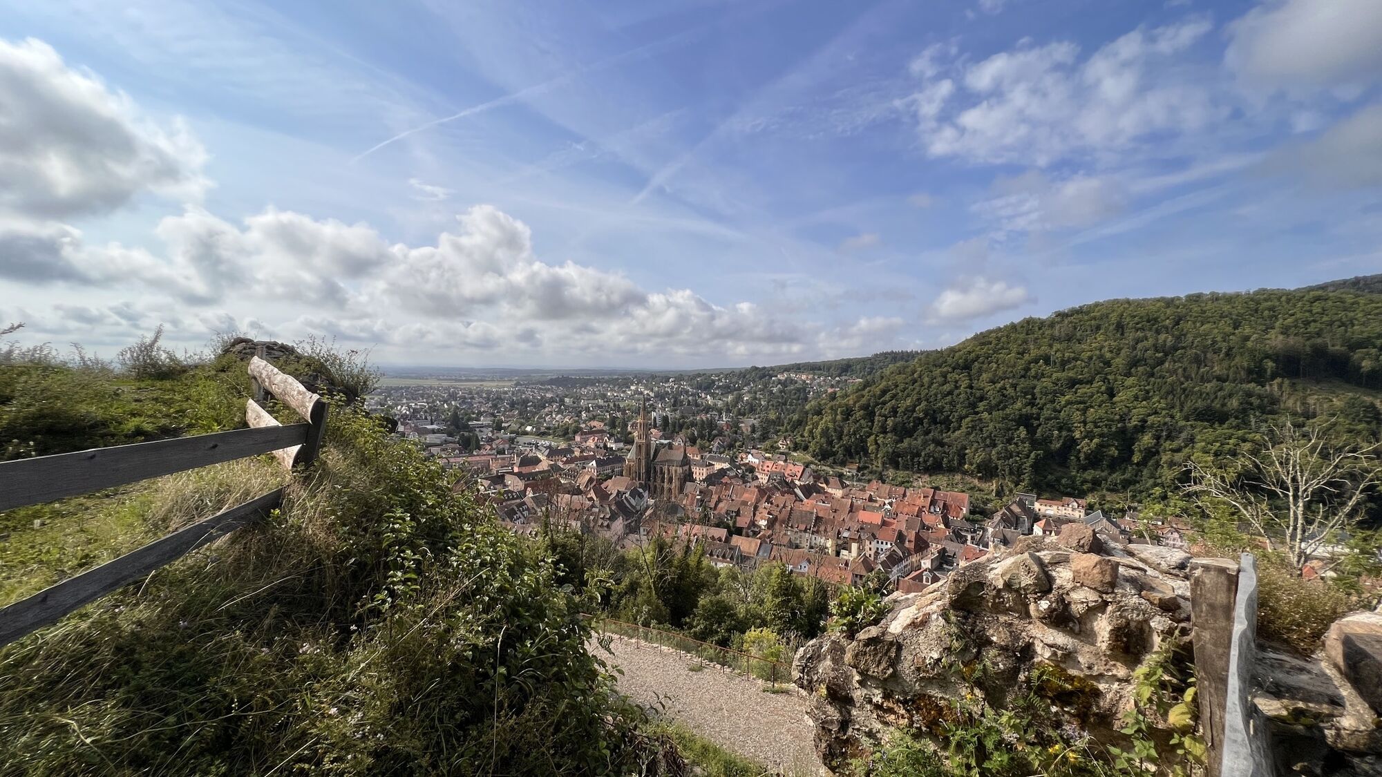
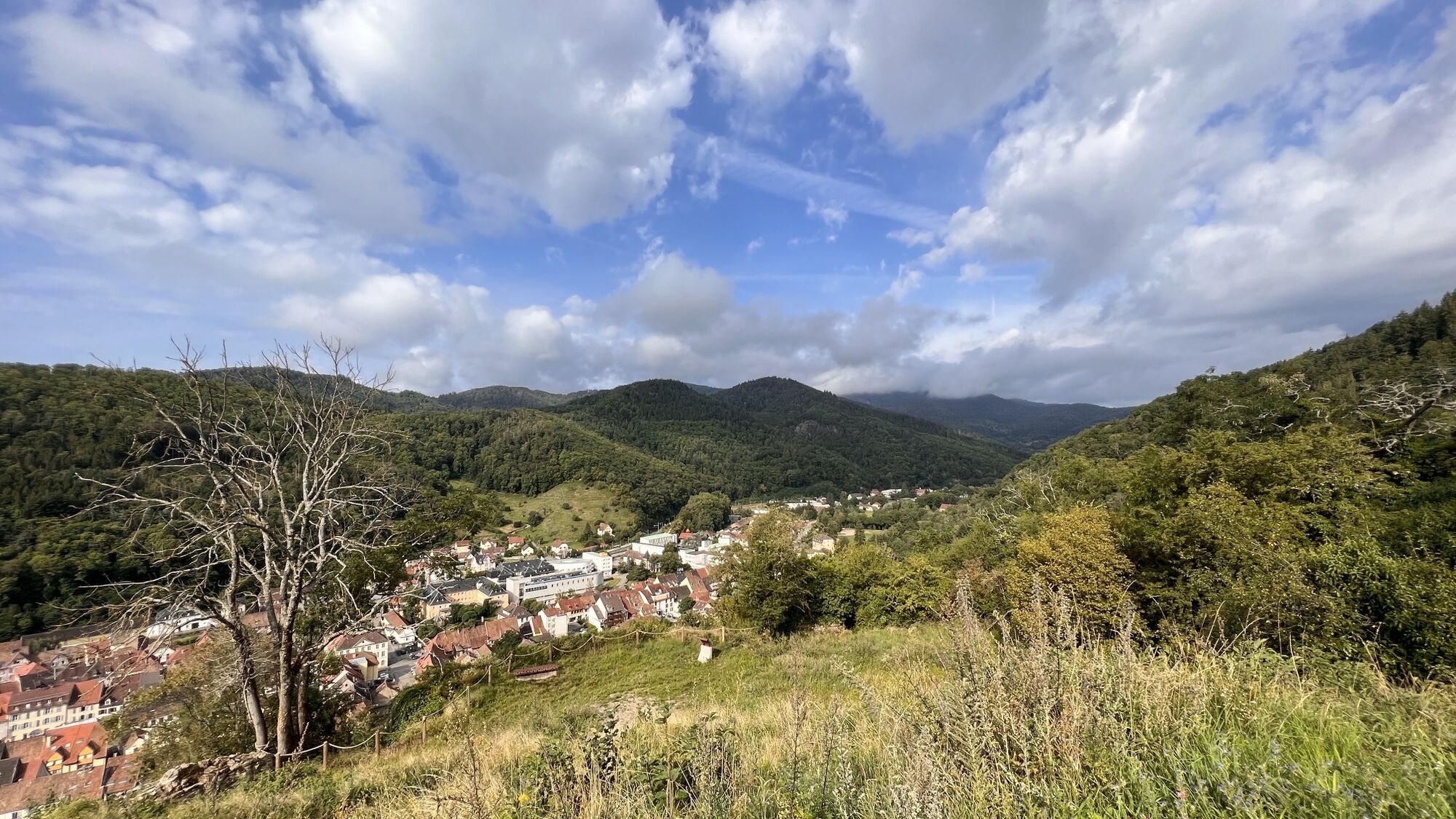
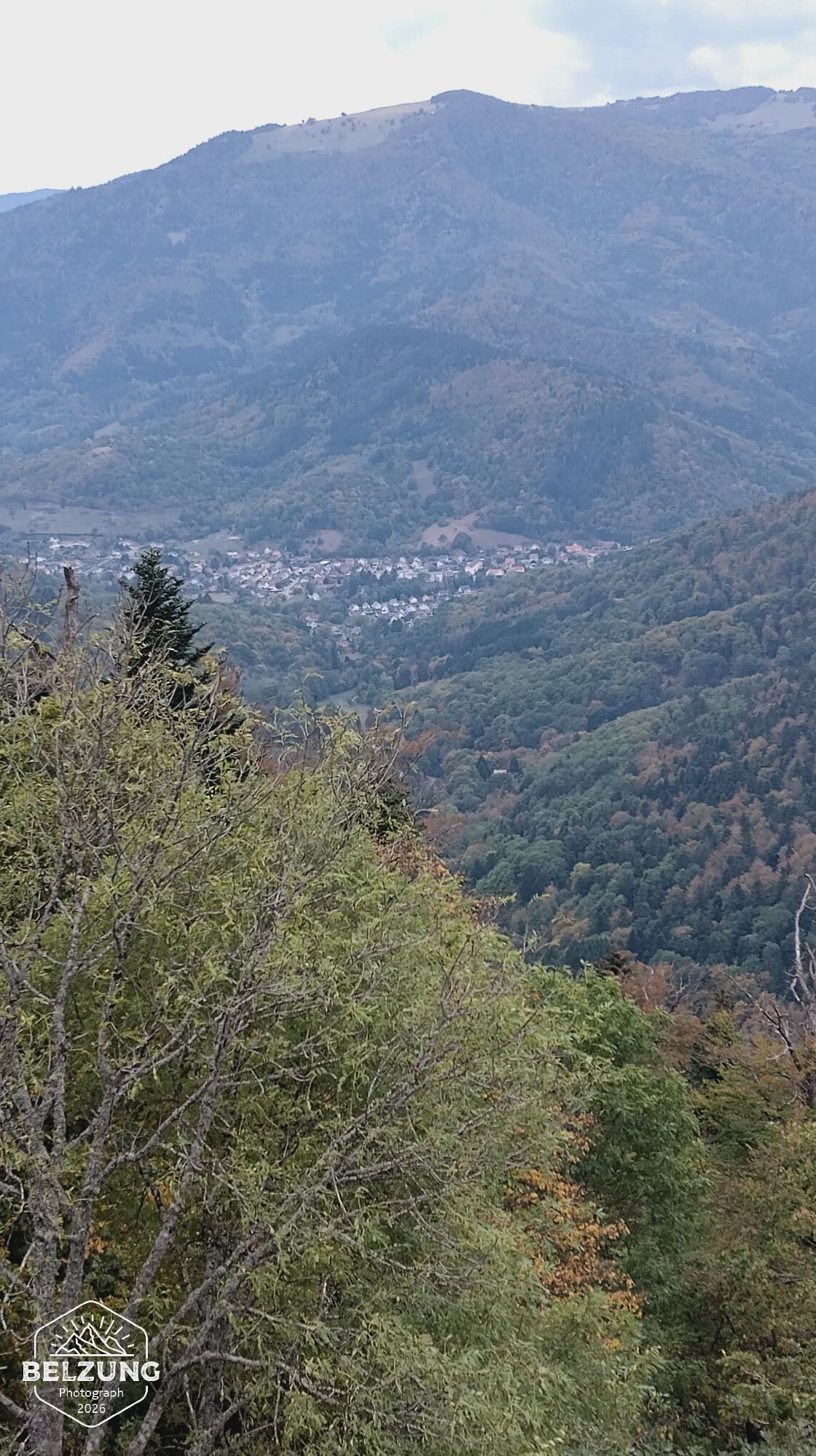
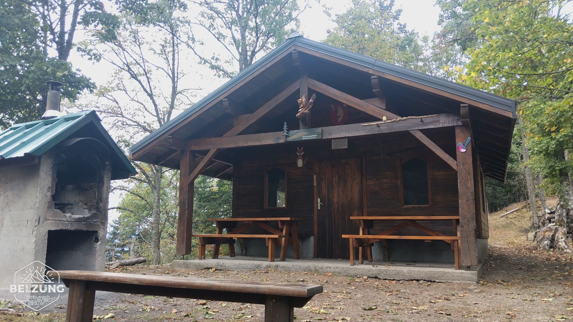
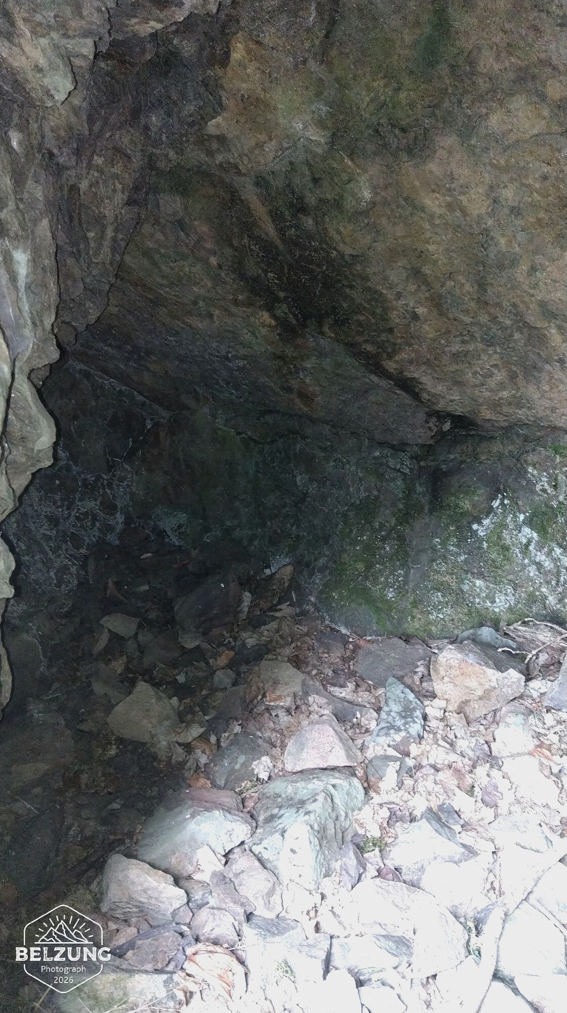
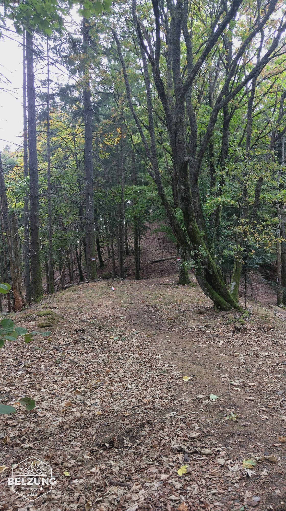
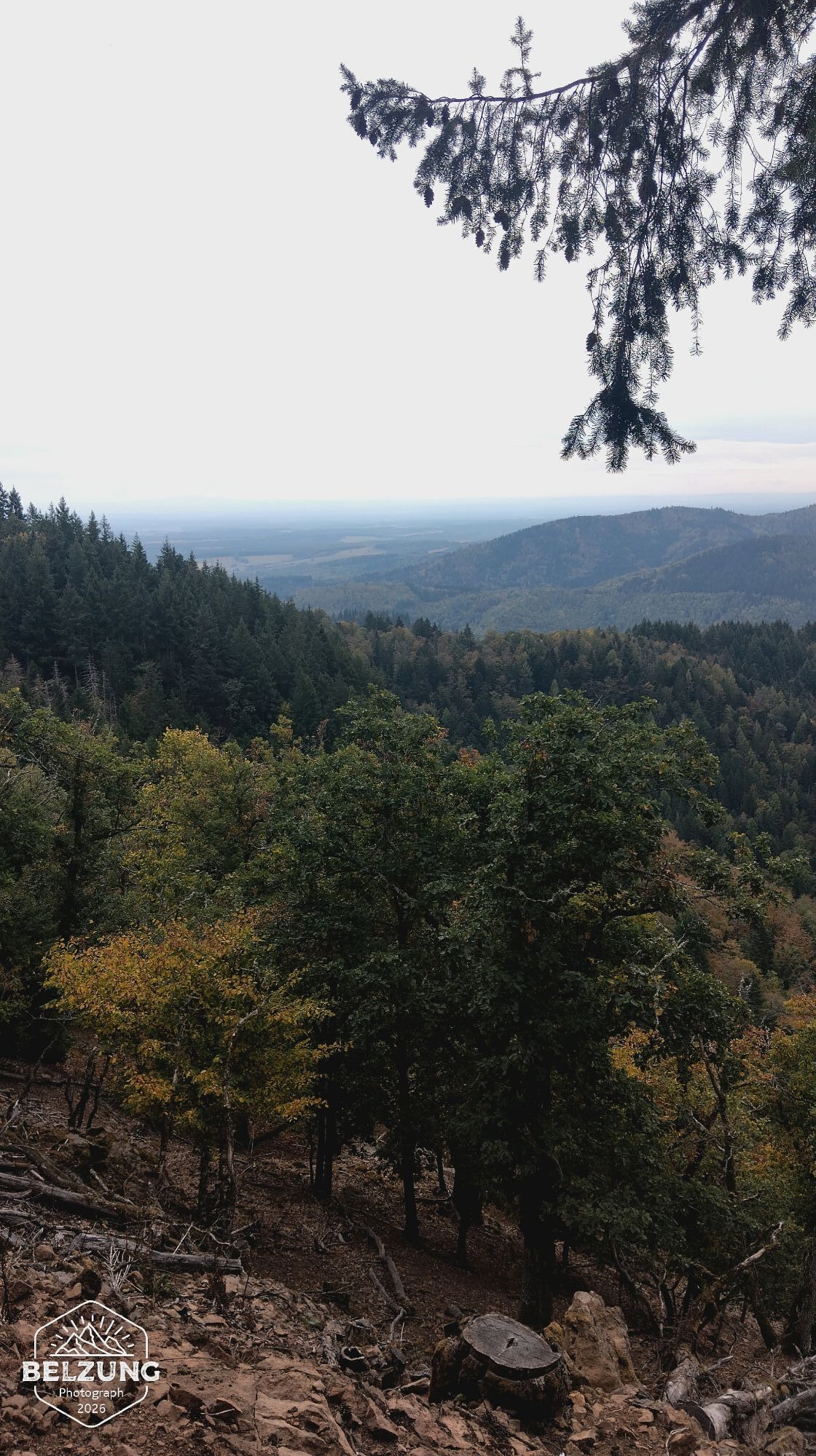
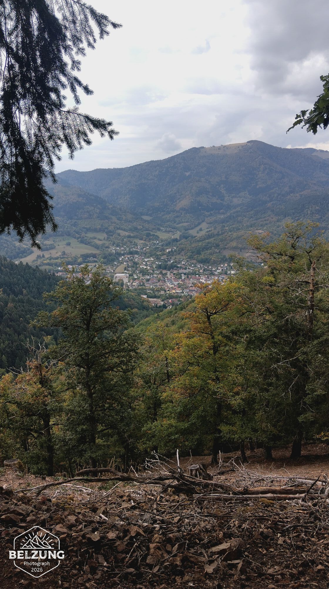
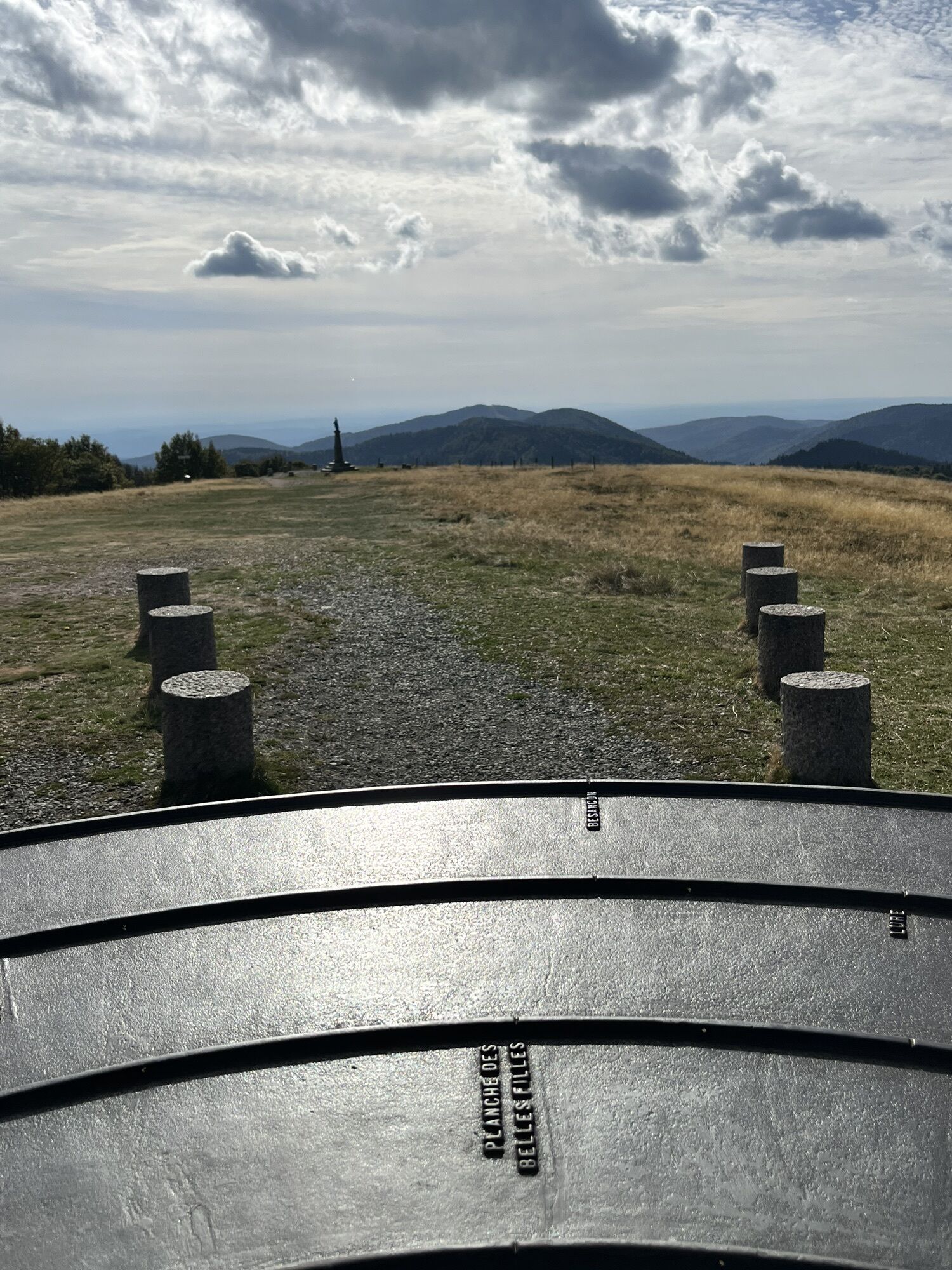
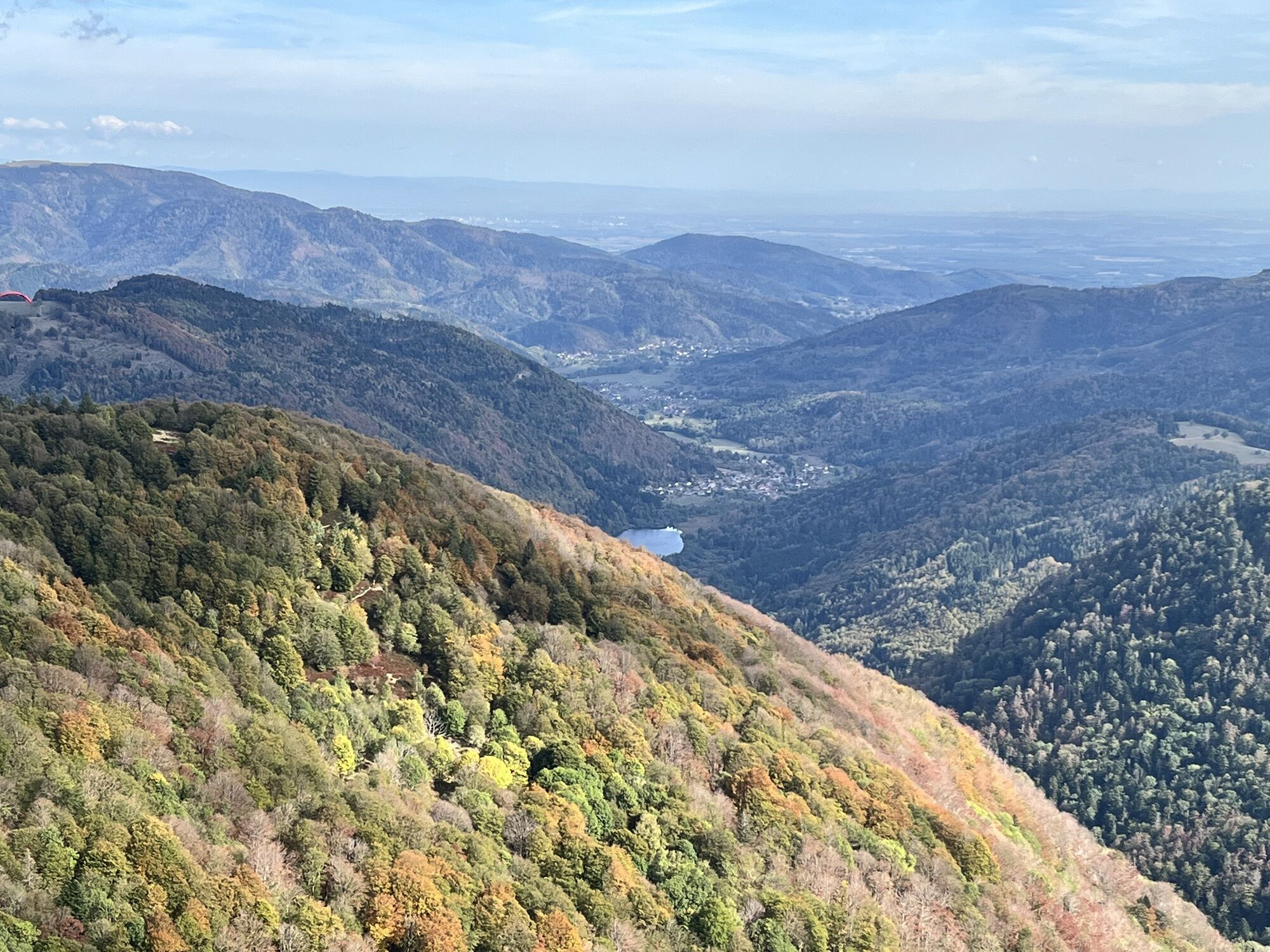
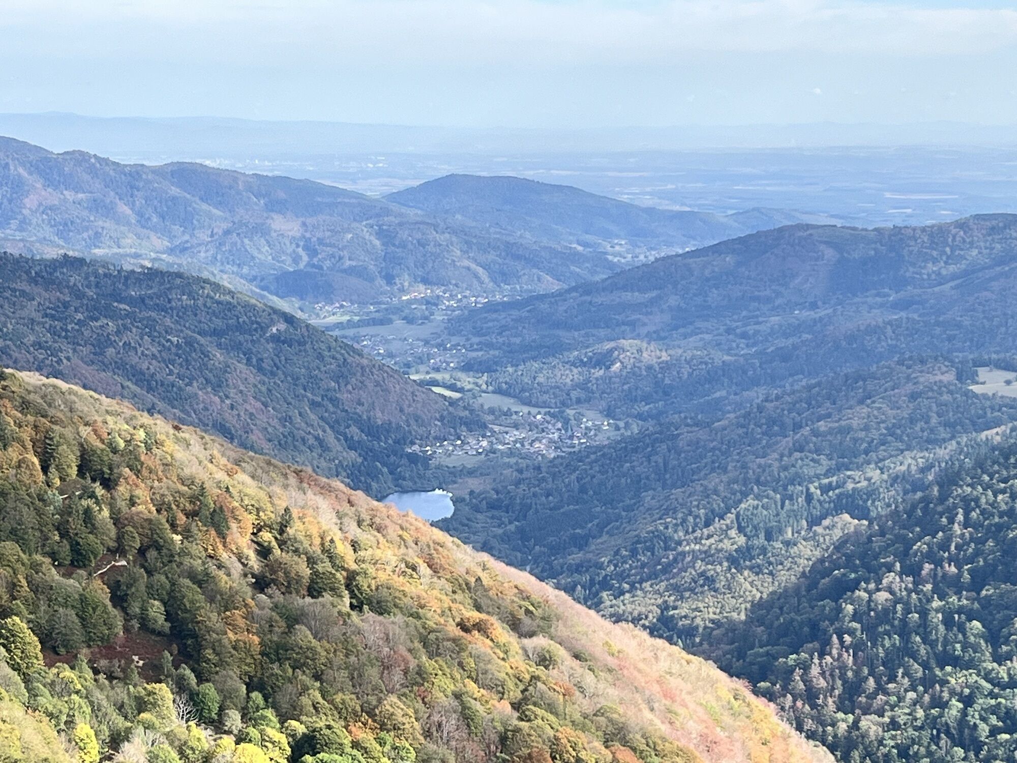
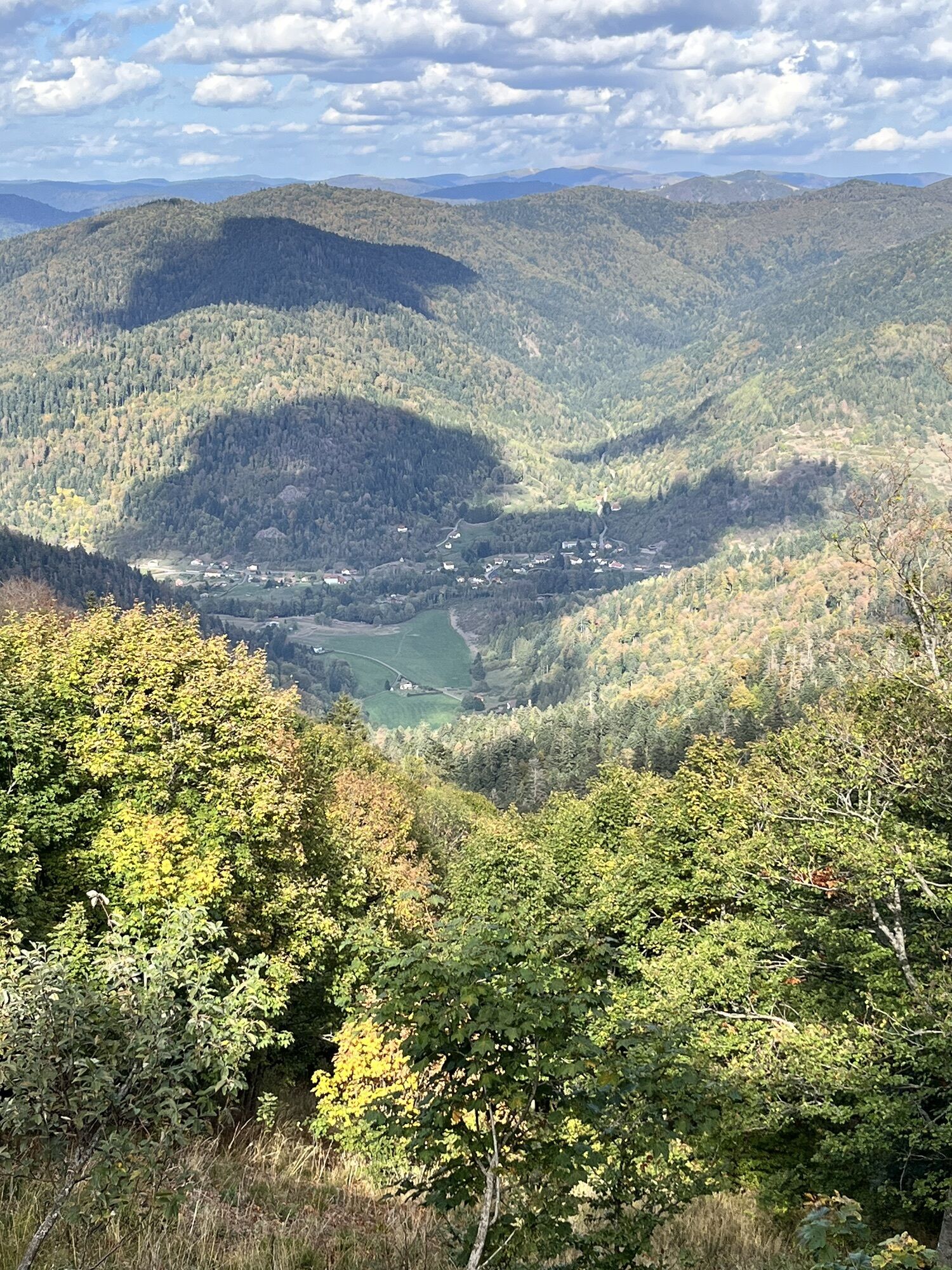
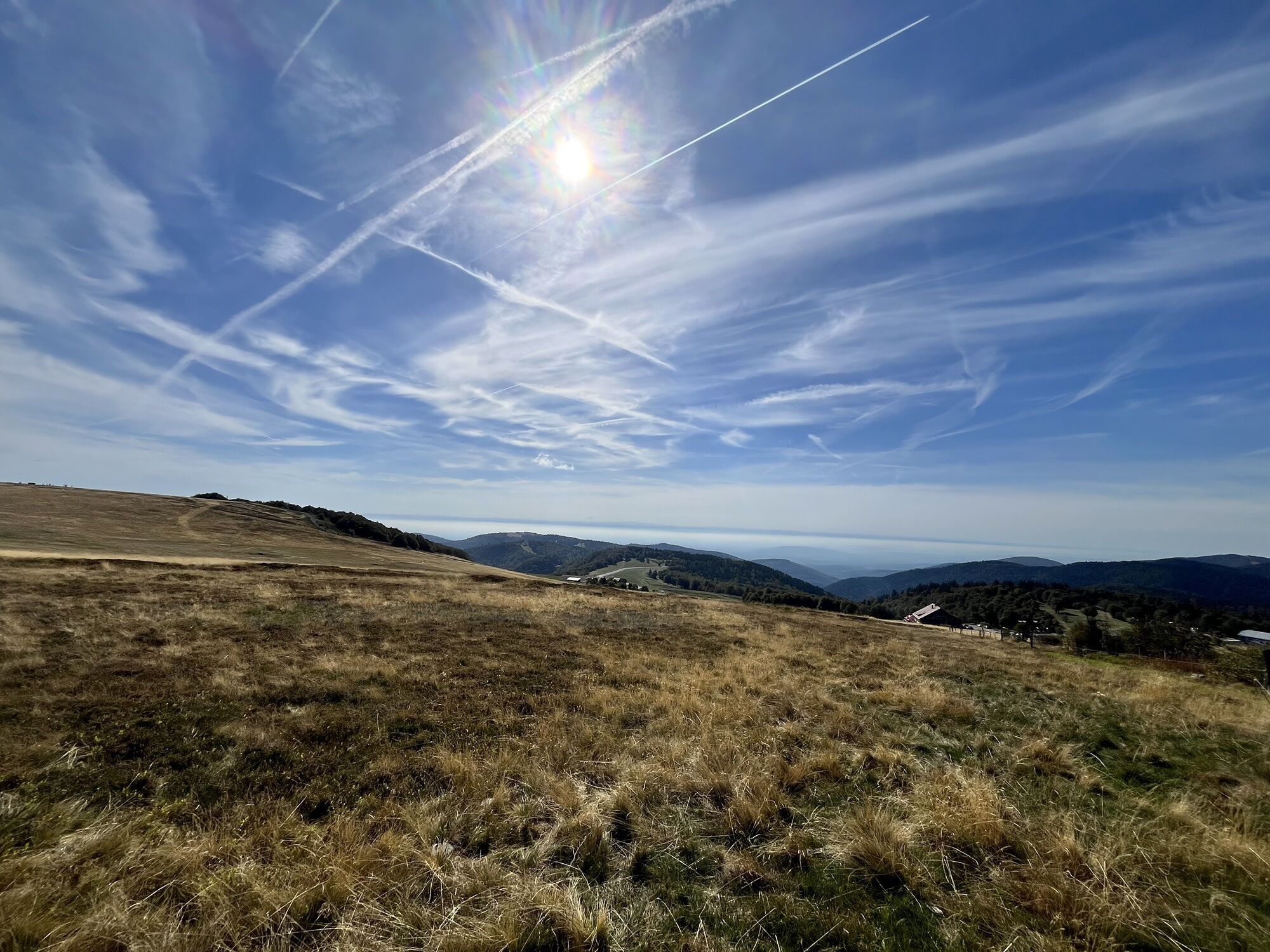
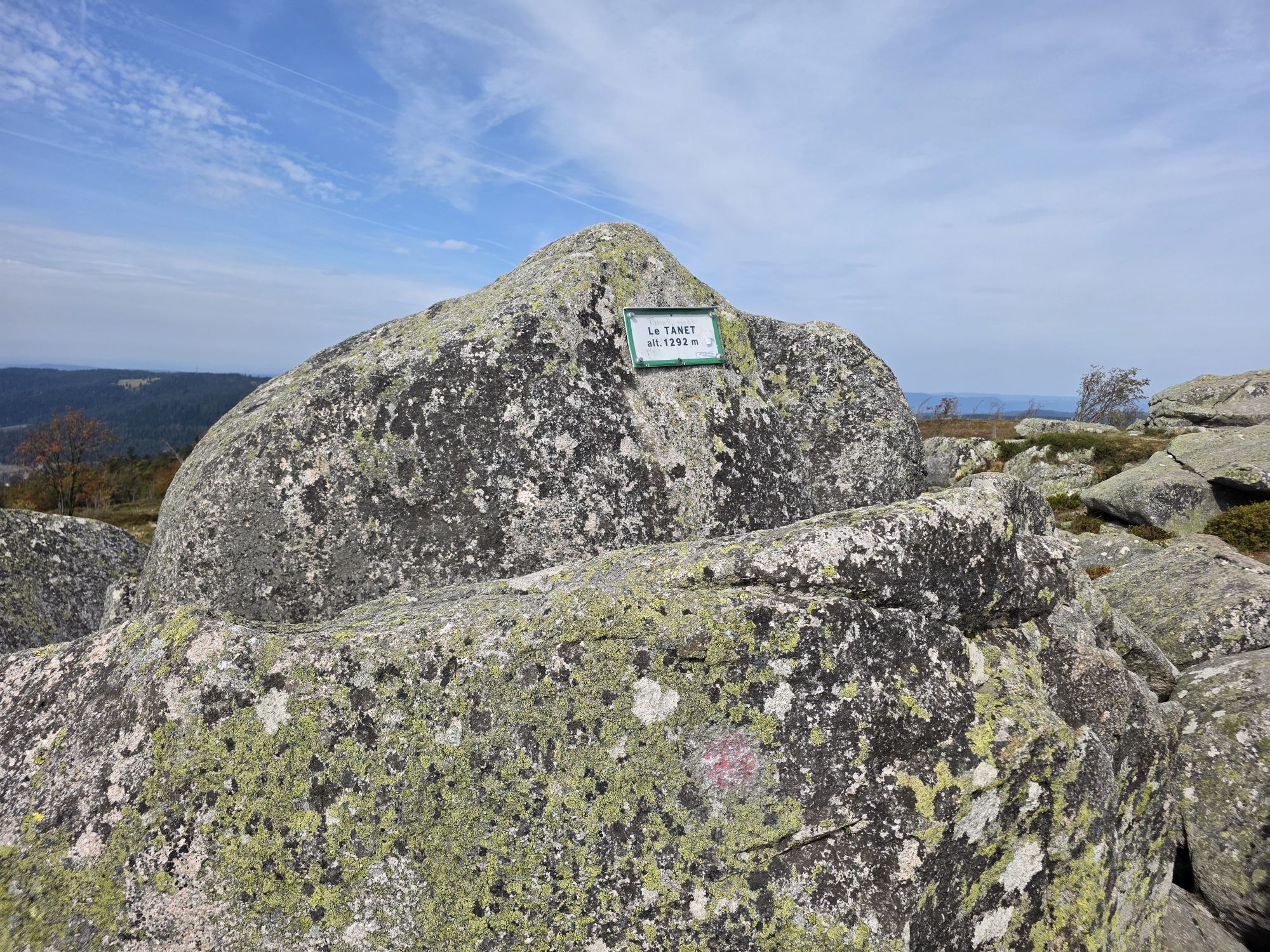
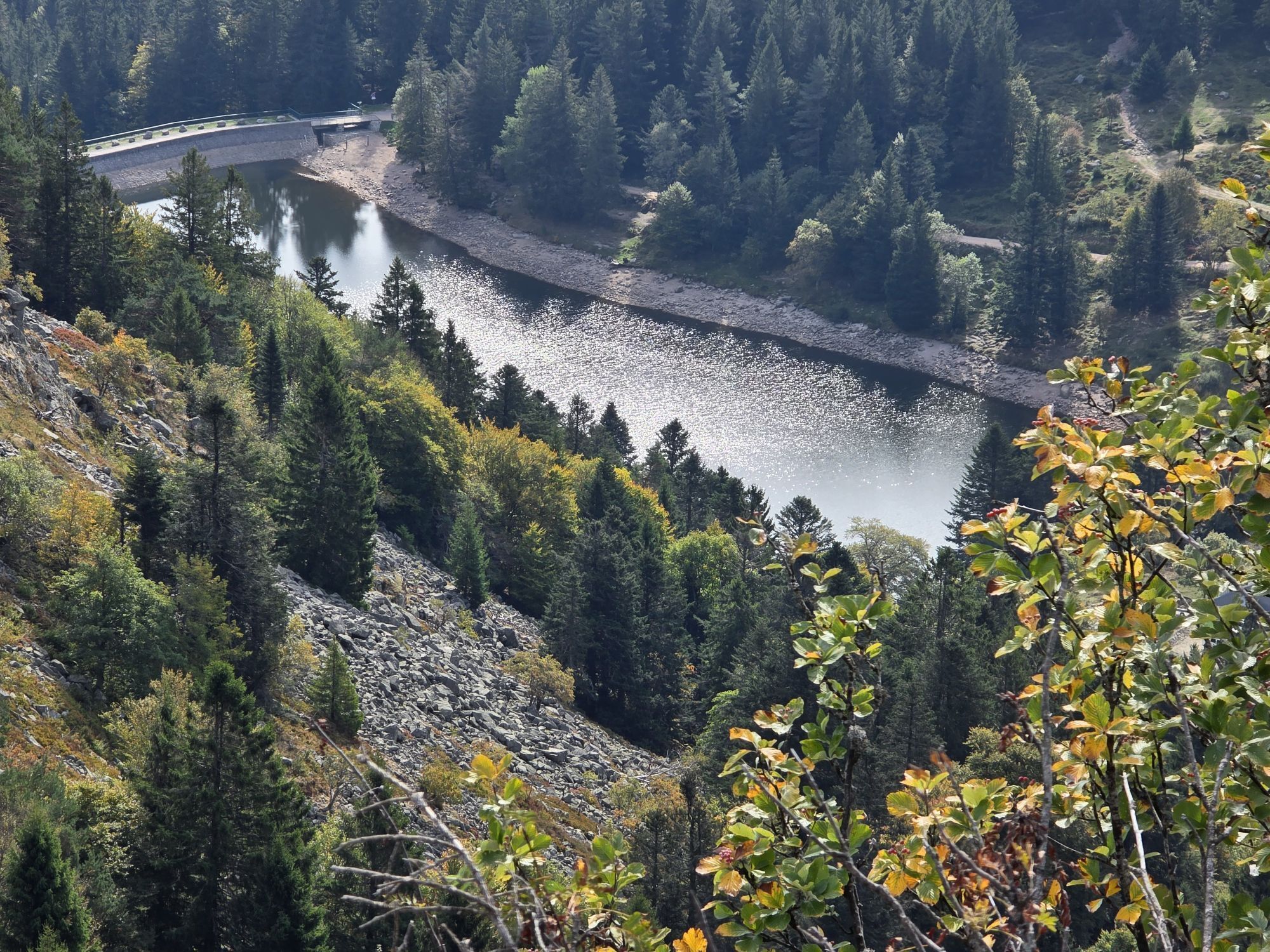
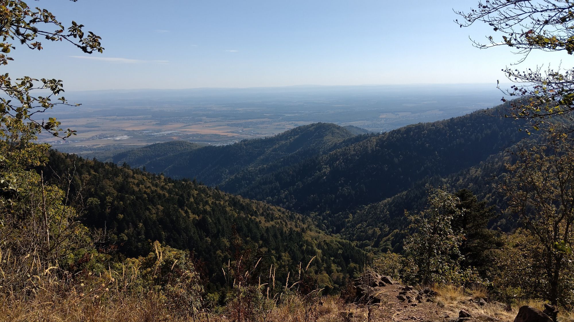
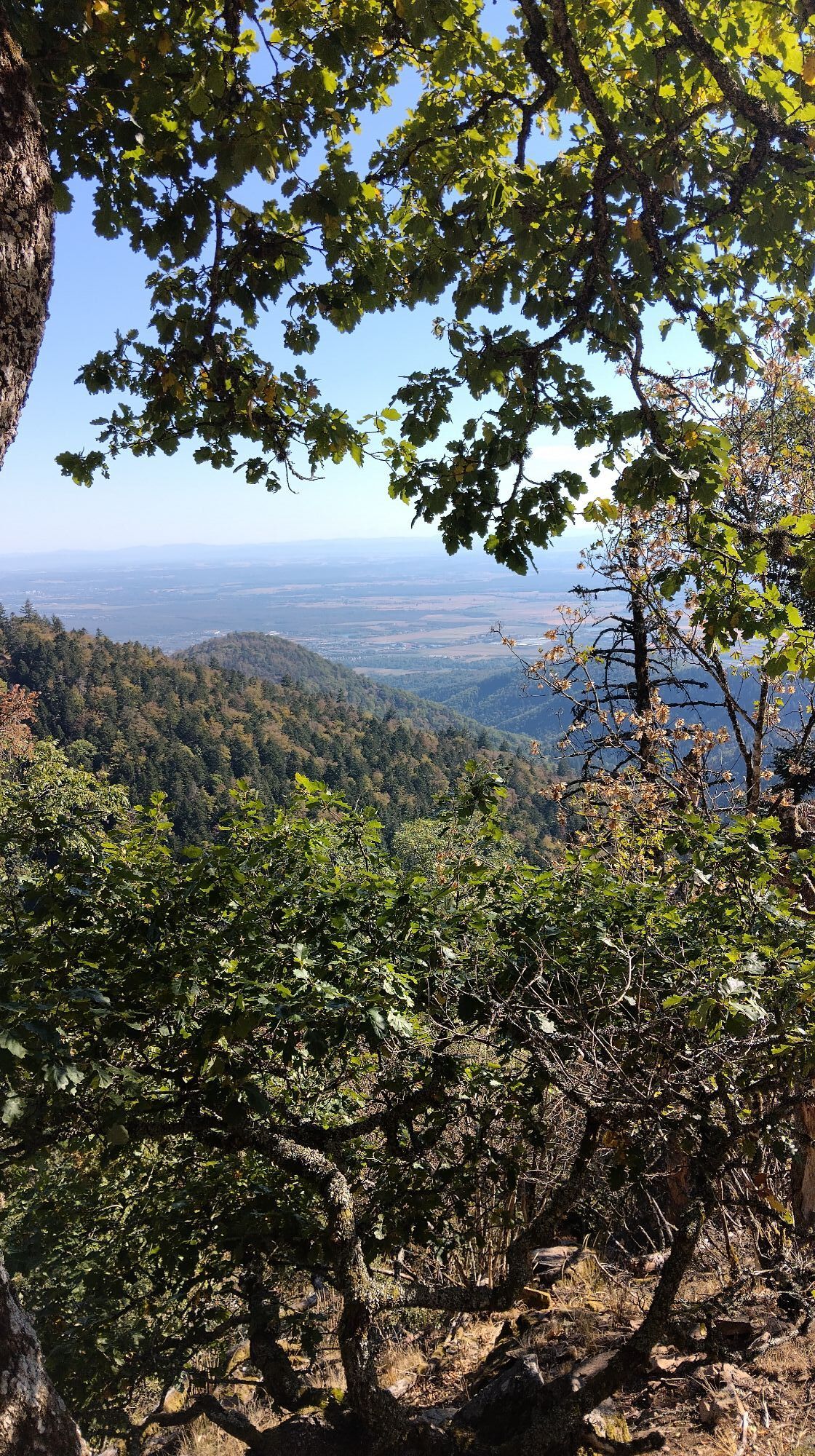
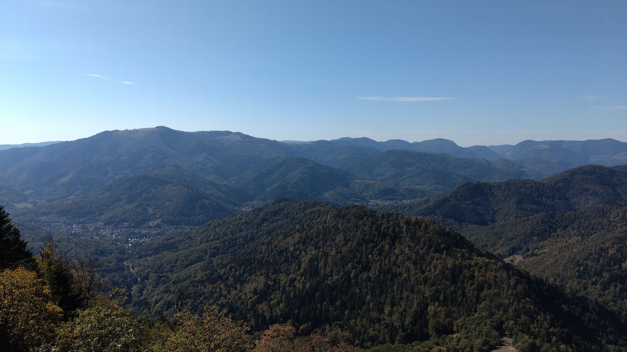
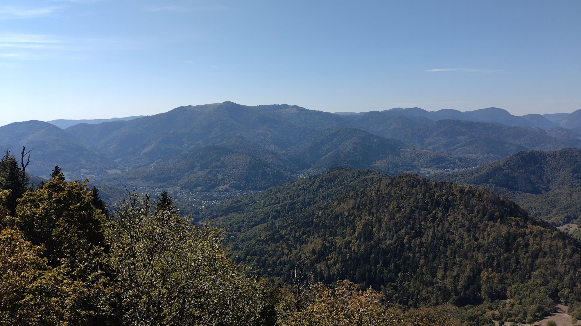
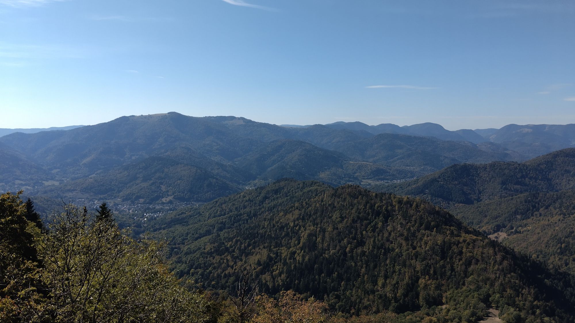
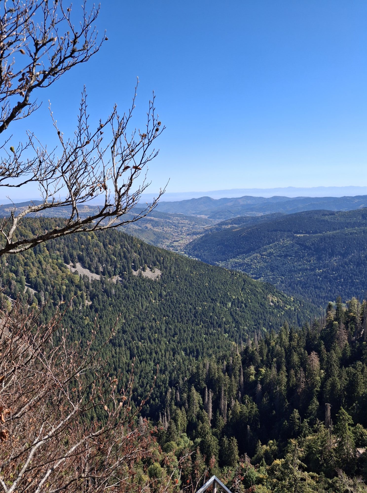
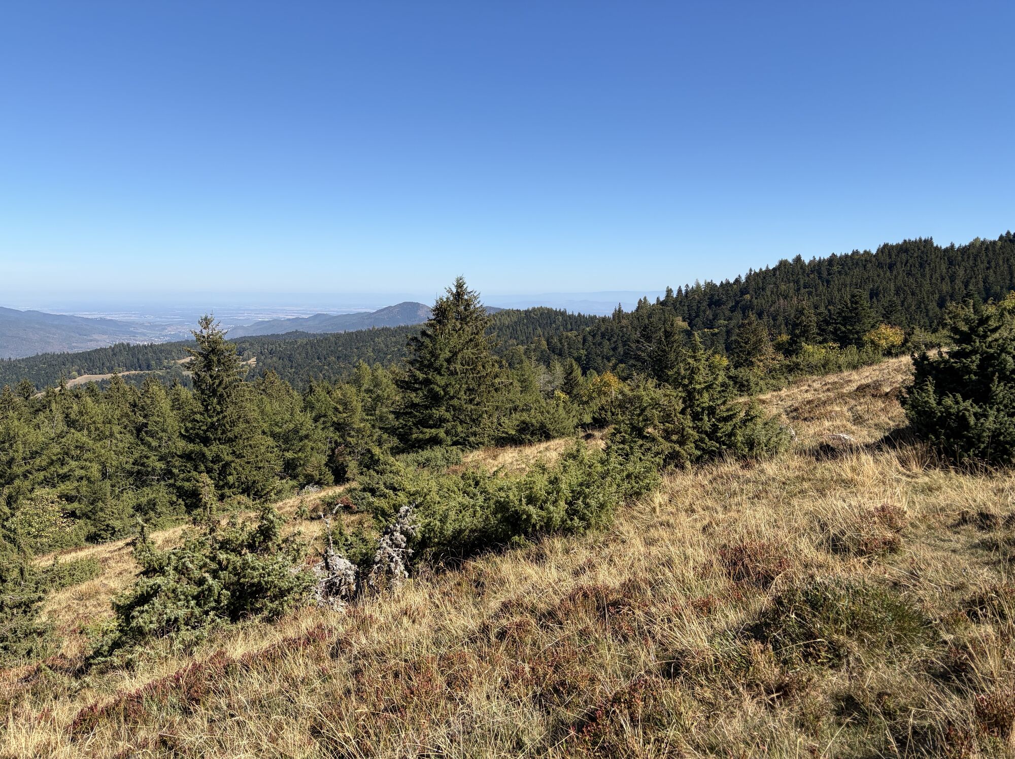
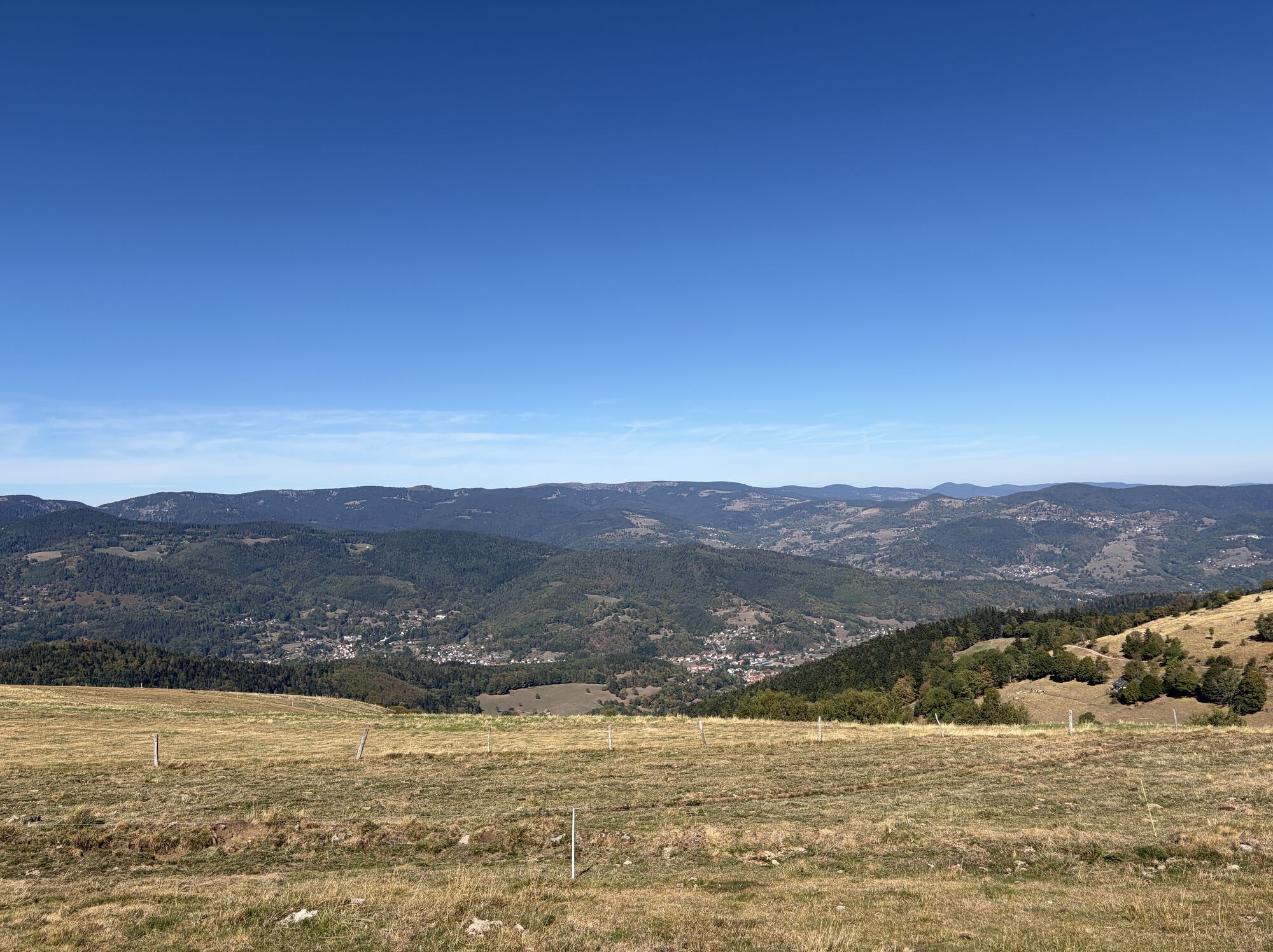
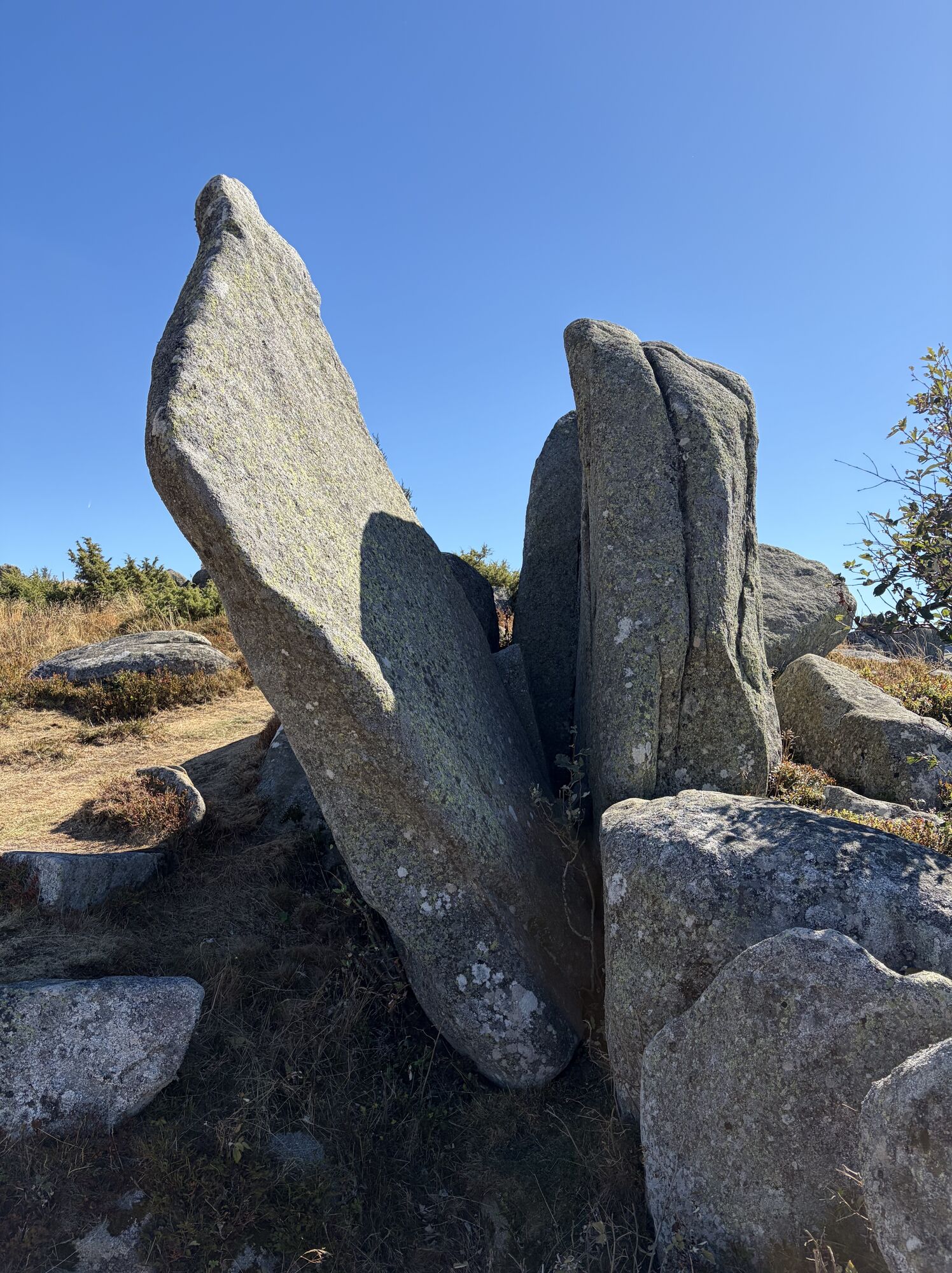
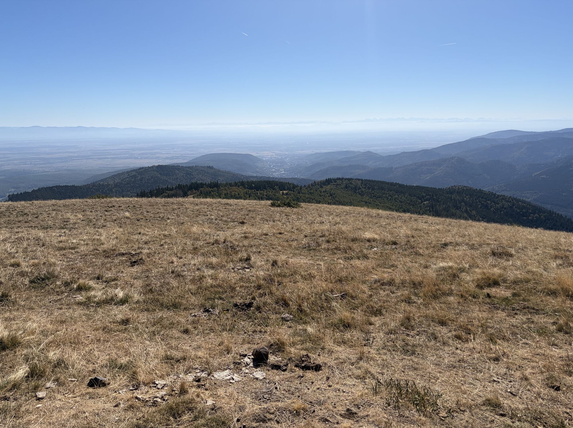
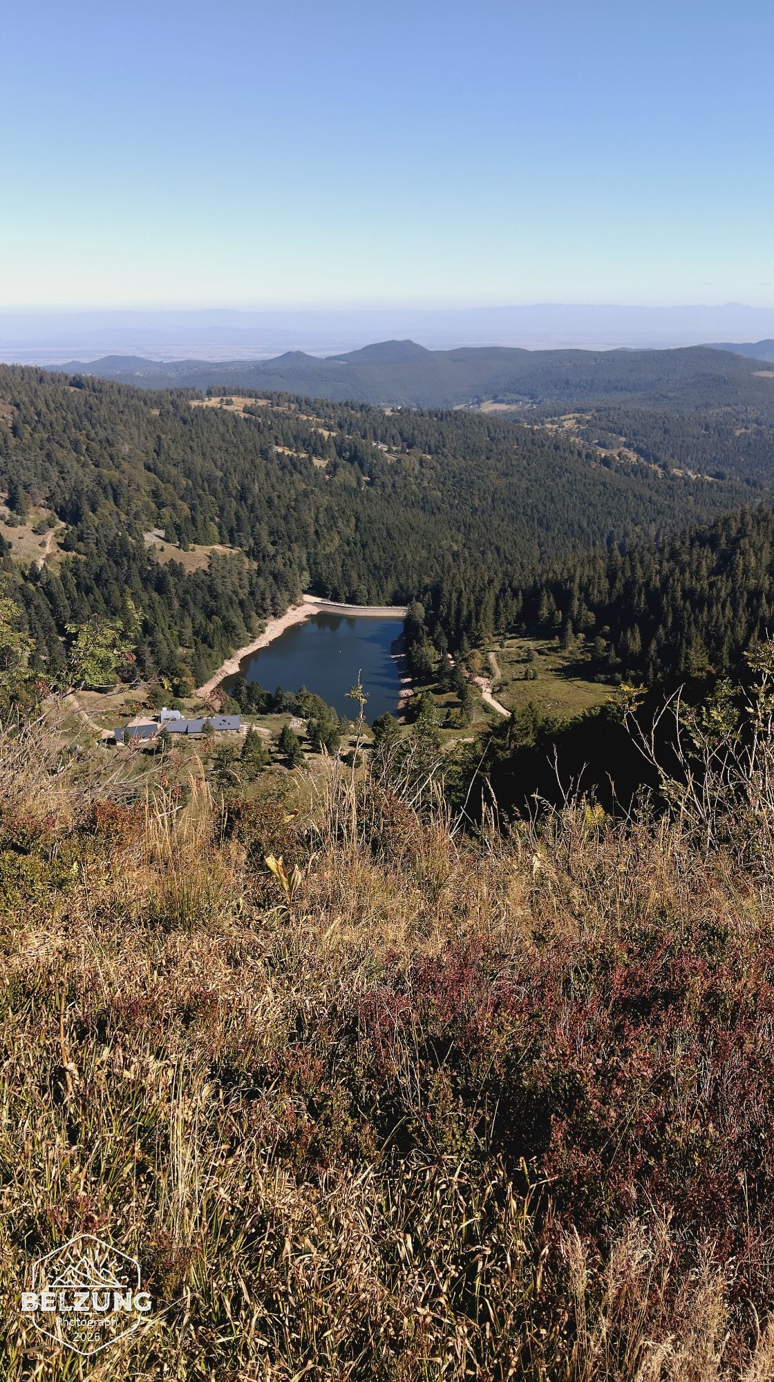
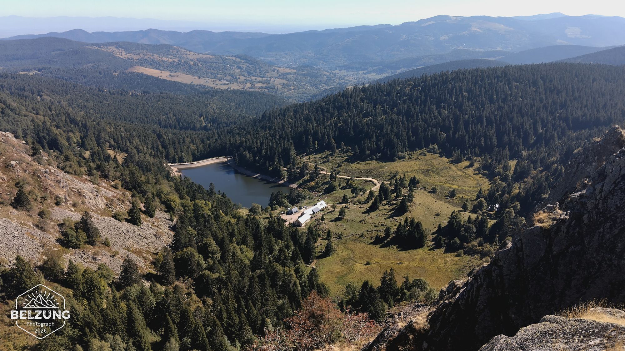
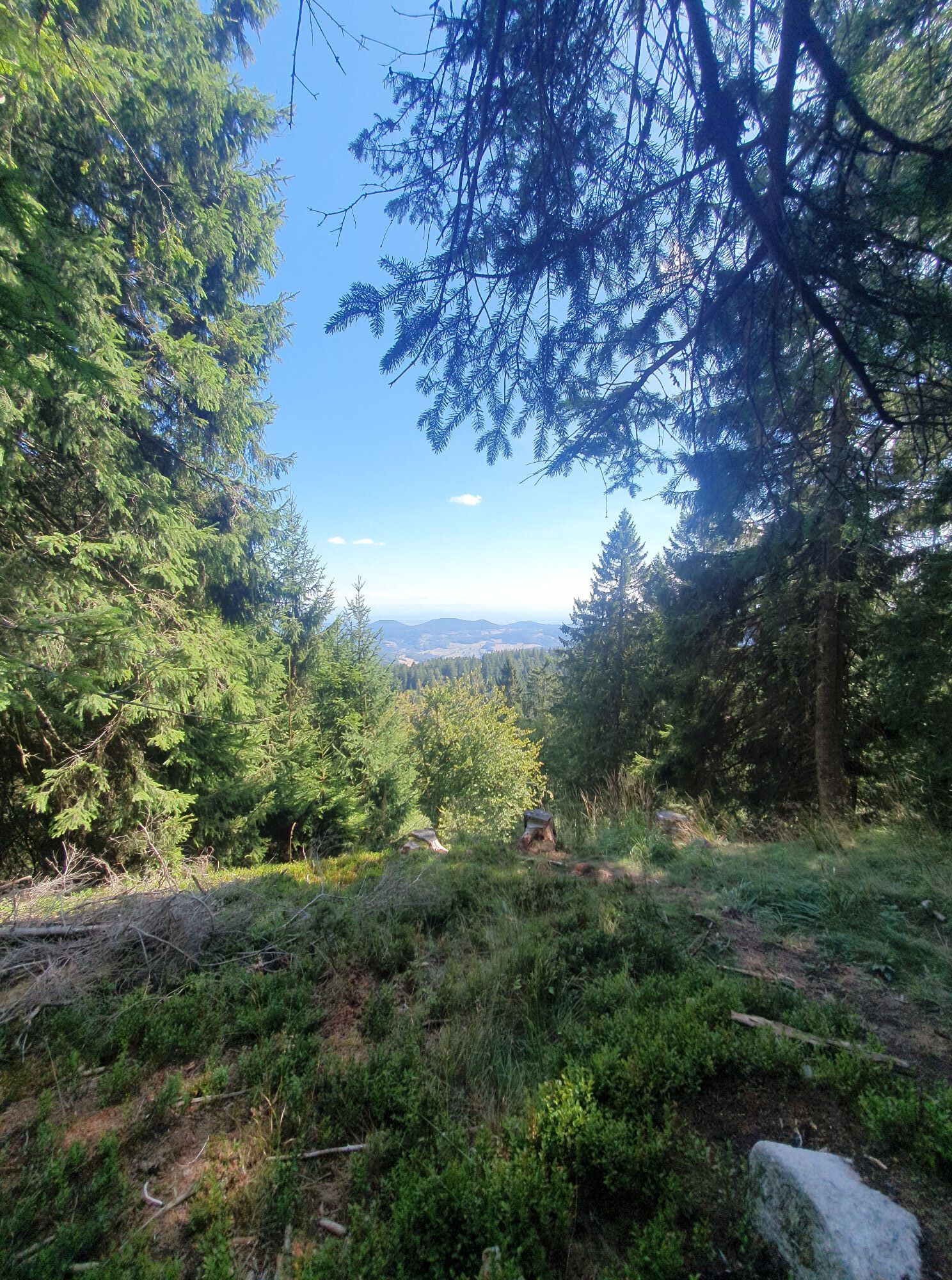
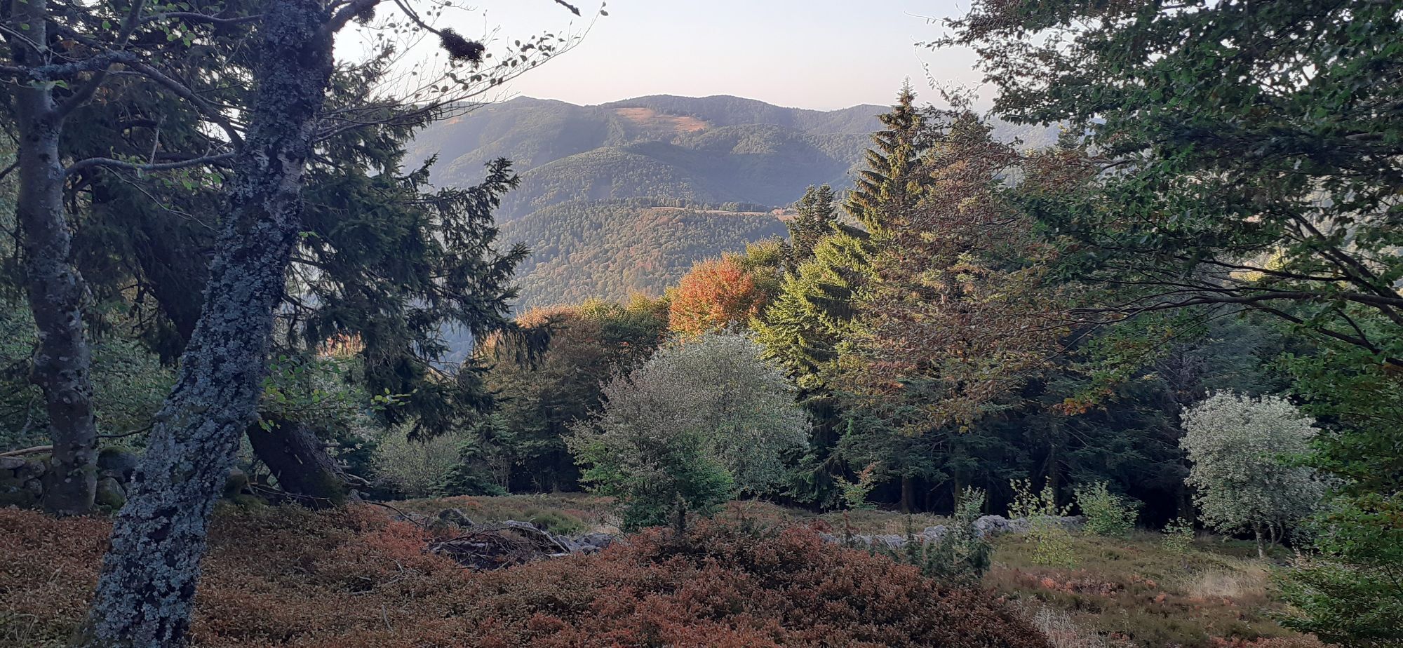
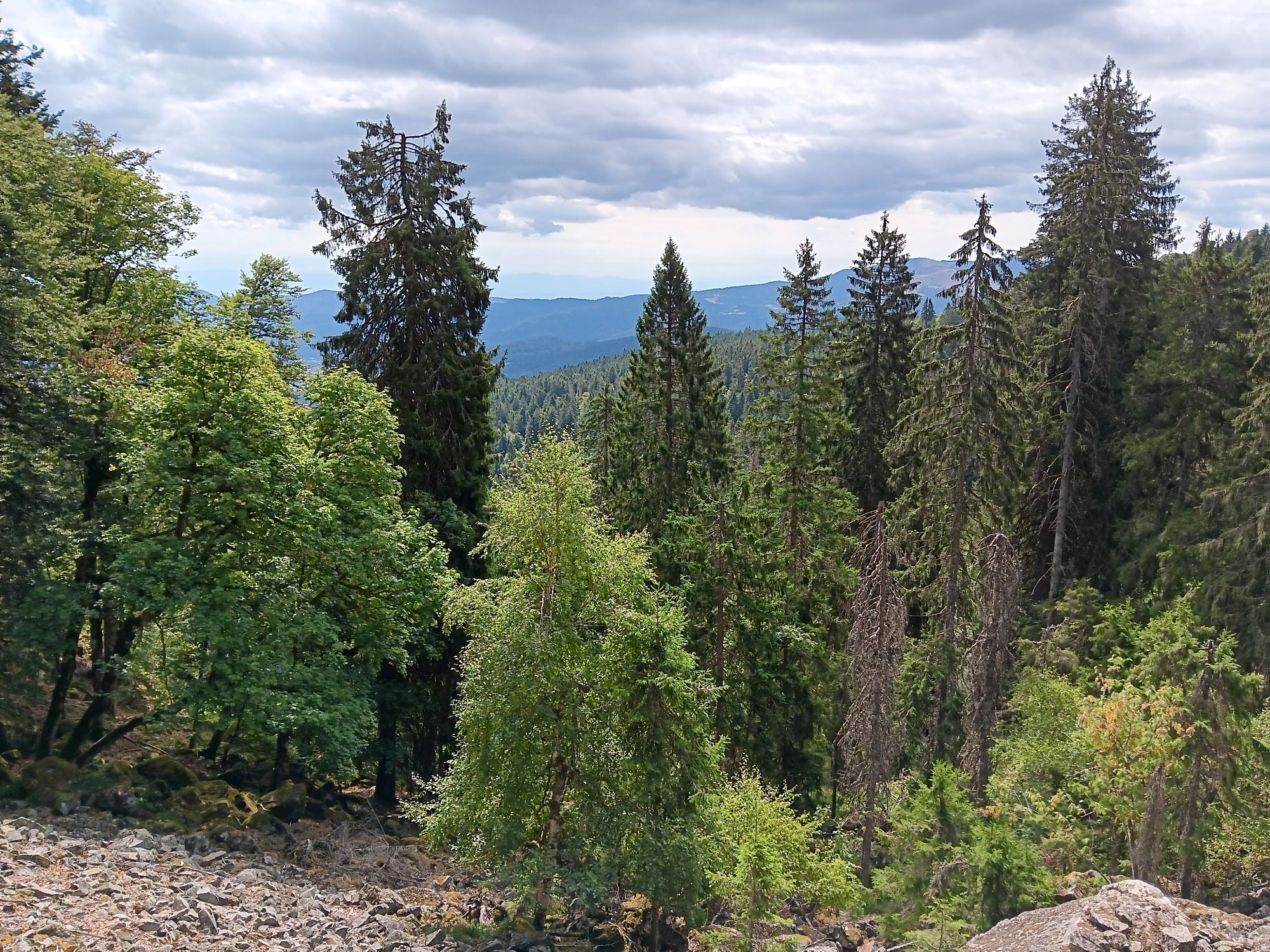
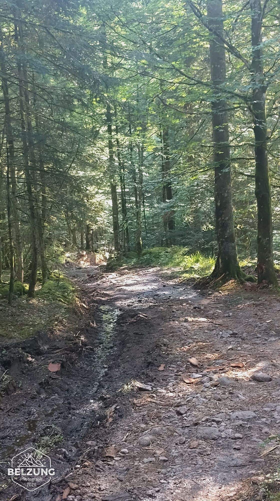
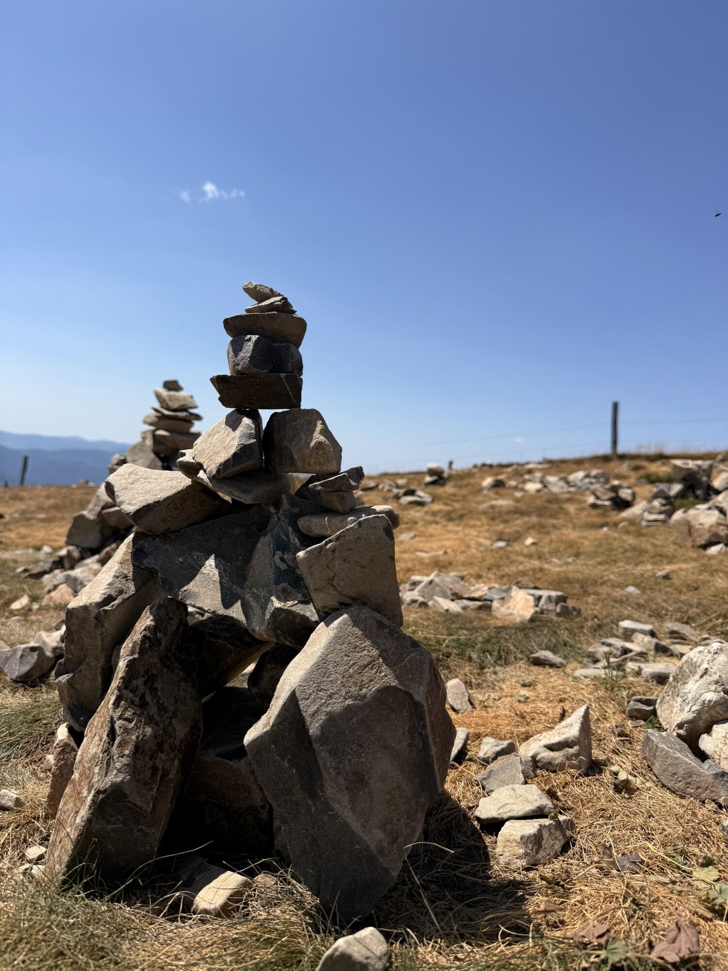
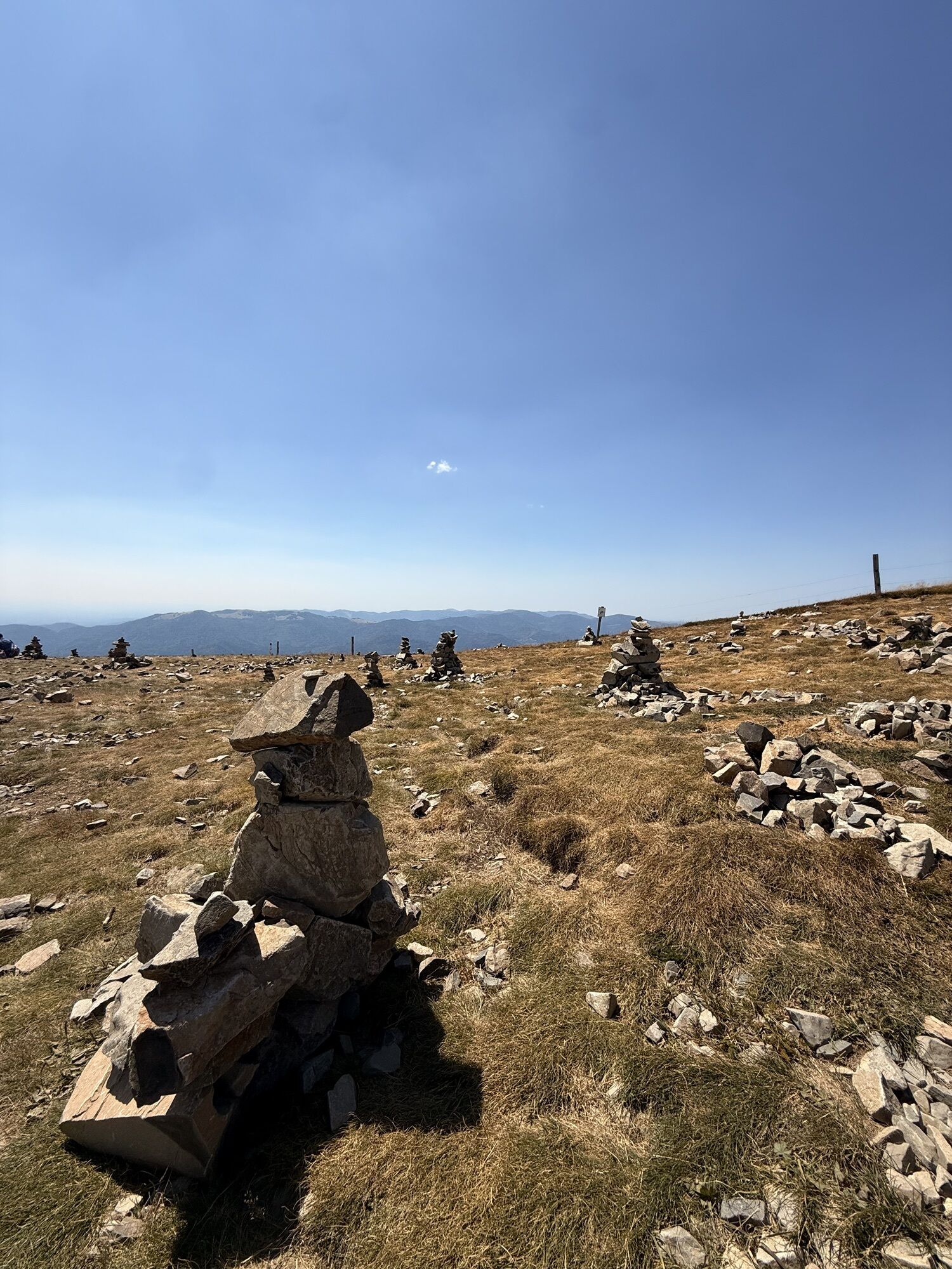
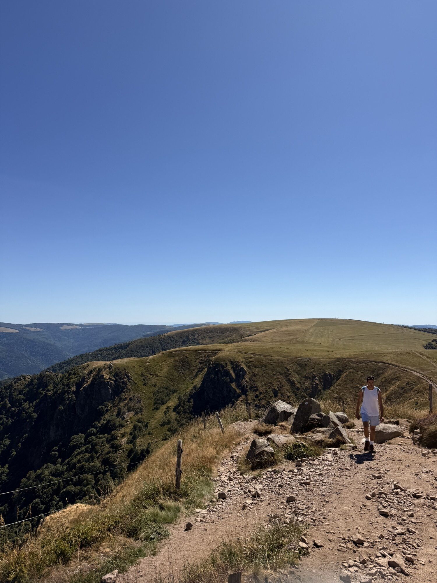

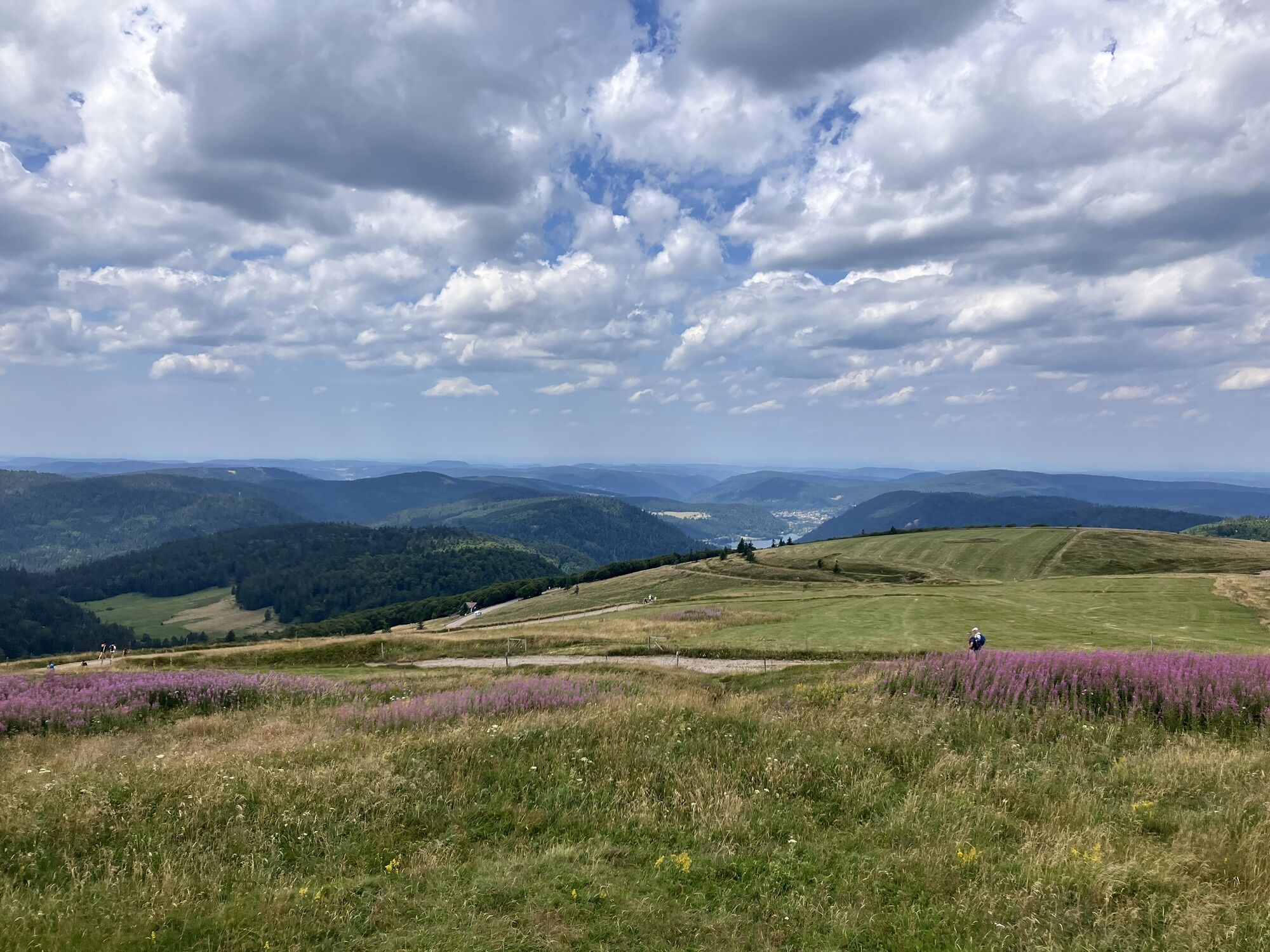
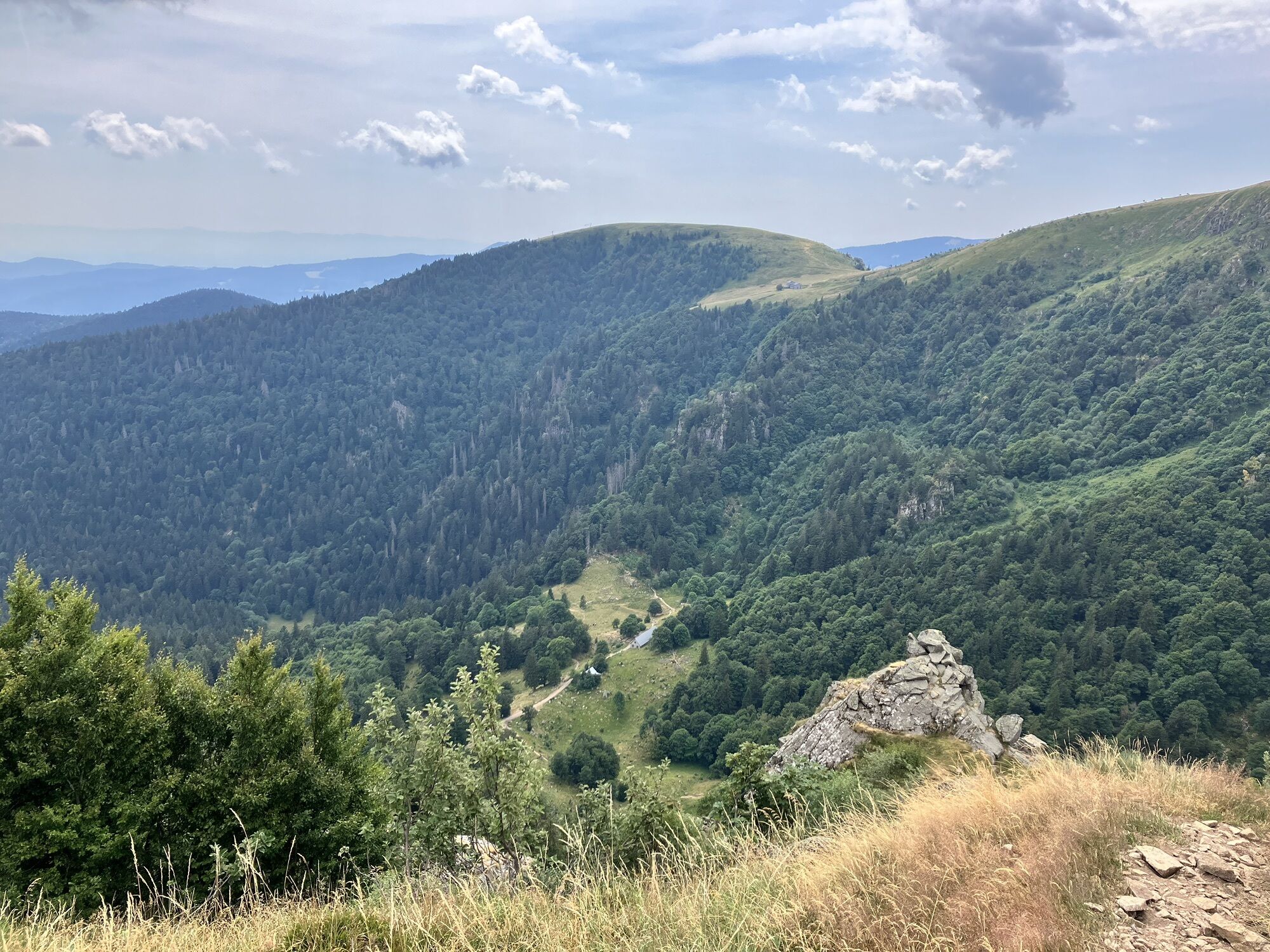
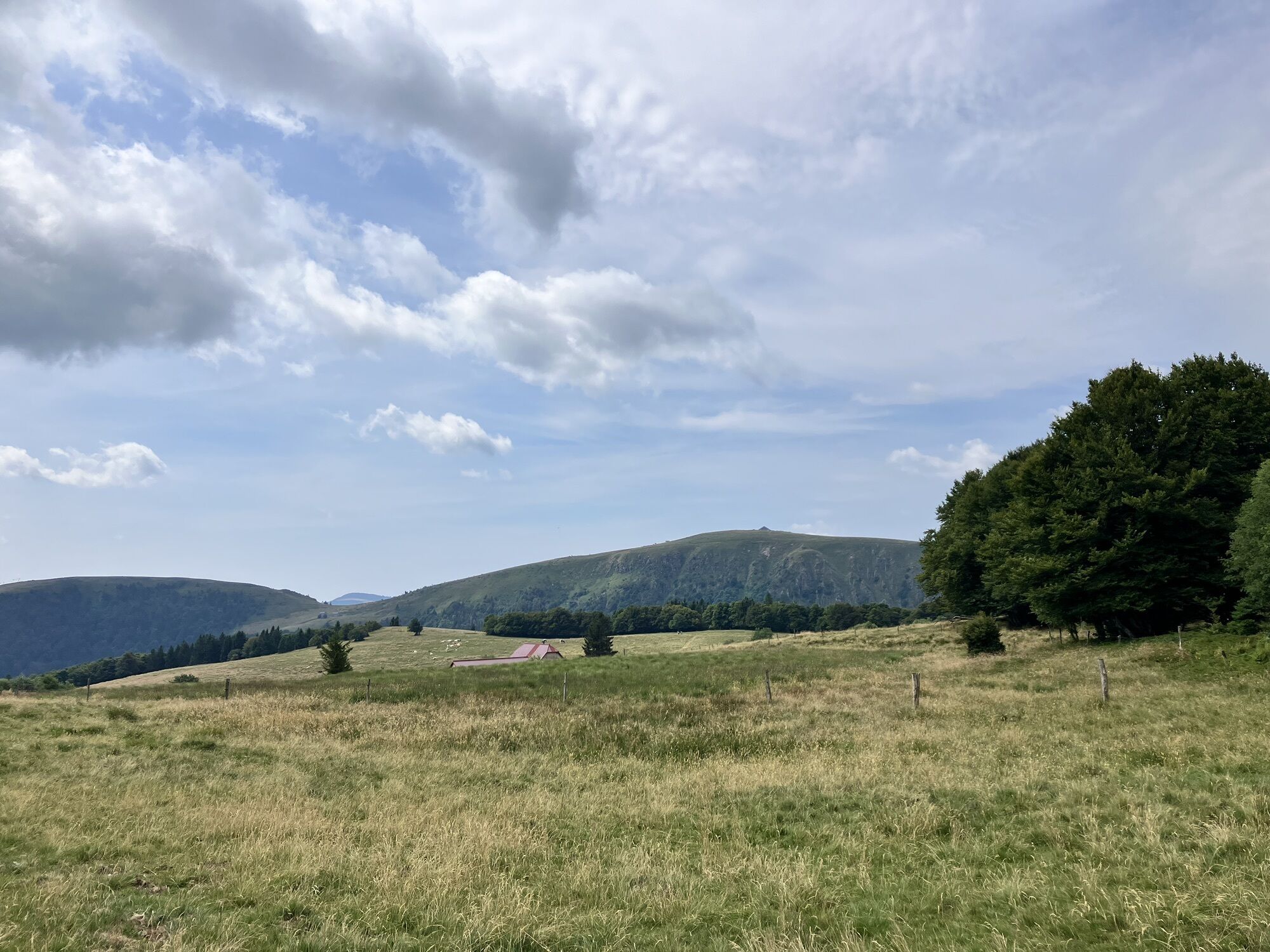
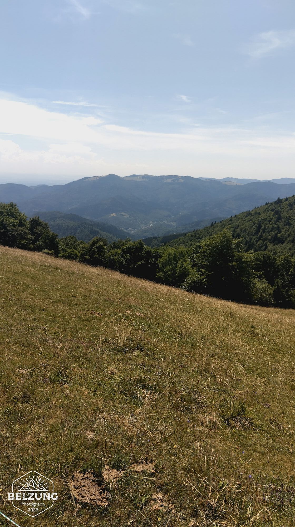
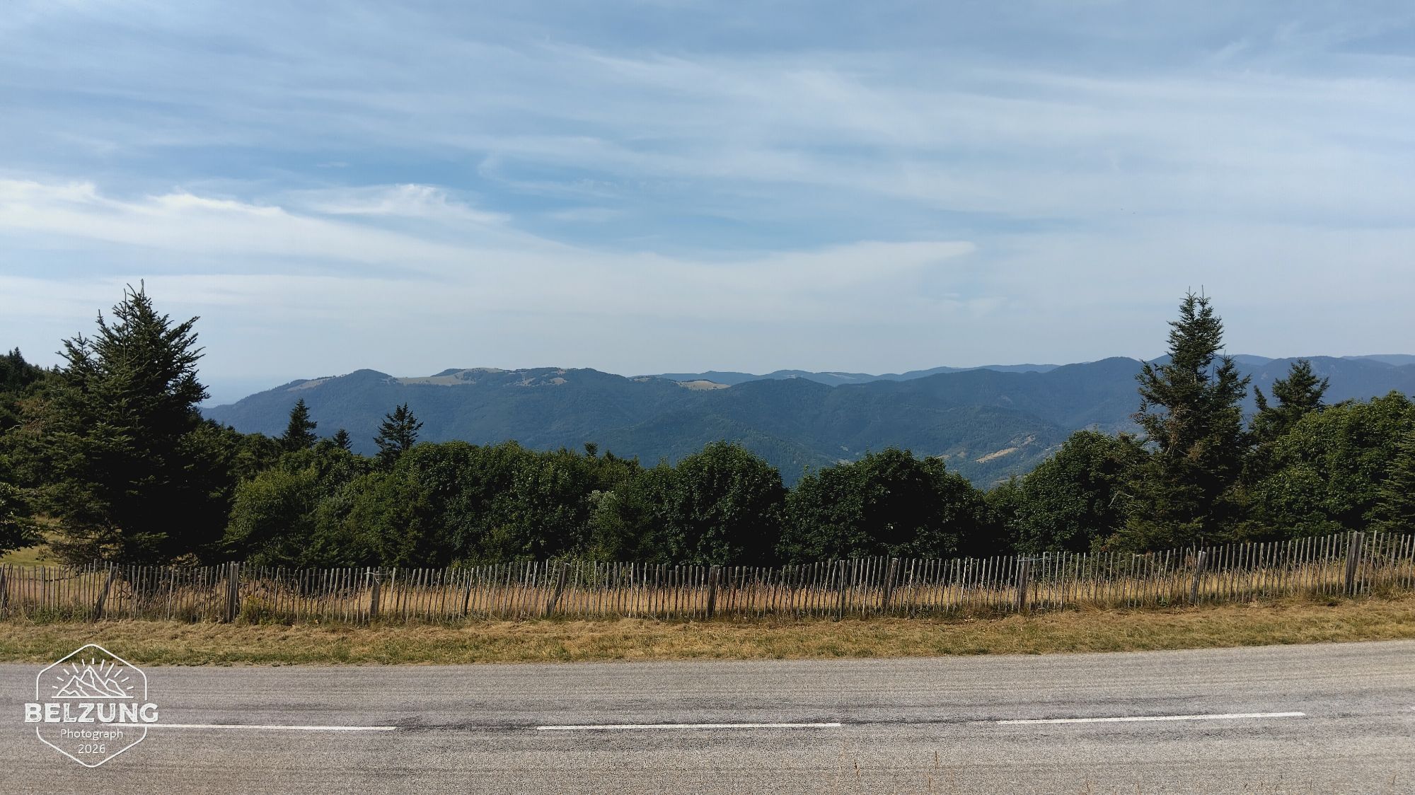
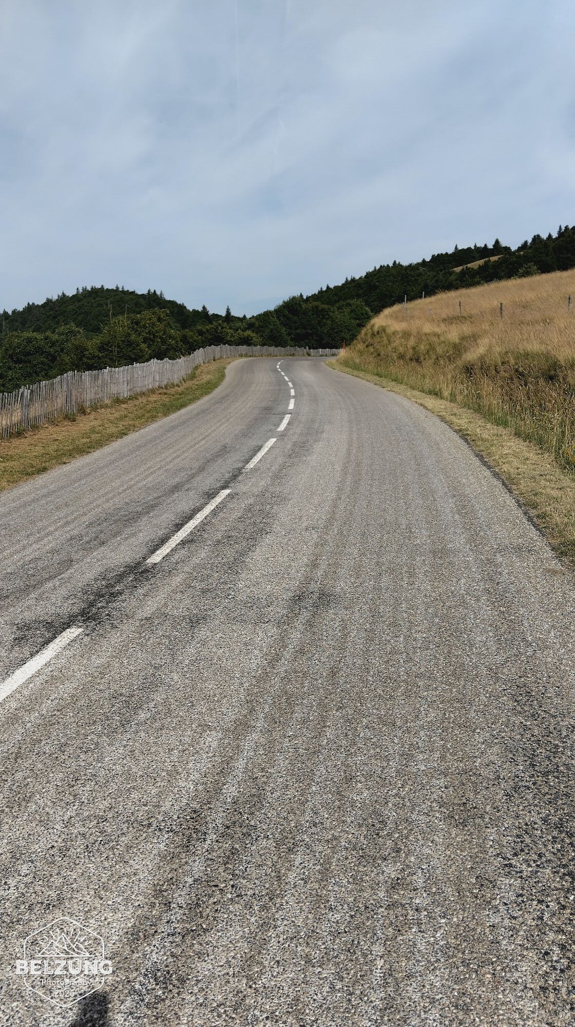
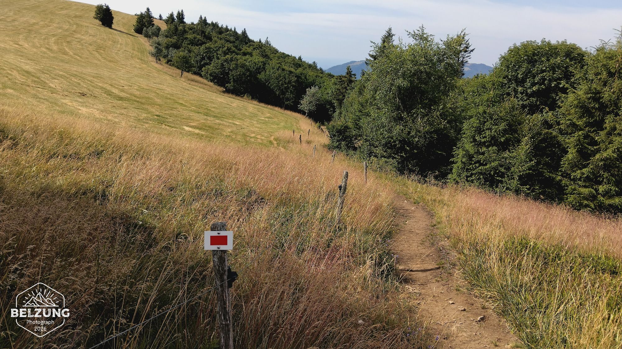
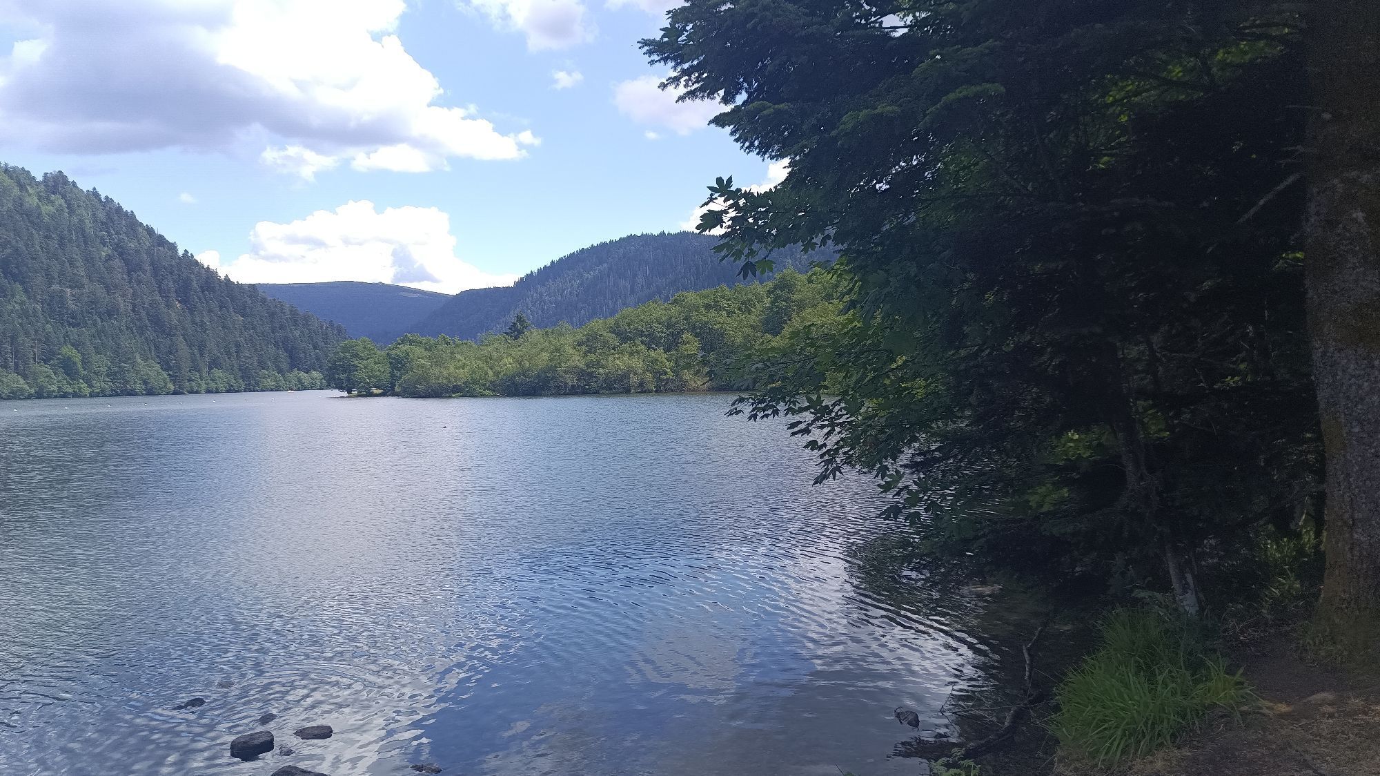
This appealing program, designed by Mountain Guides specializing in hiking, will make you discover a route still little known to the general public. You can choose from several options, ranging from 2...
This appealing program, designed by Mountain Guides specializing in hiking, will make you discover a route still little known to the general public. You can choose from several options, ranging from 2 to 17 days of hiking on the trail. From the history of Saint Mont, through key places of Vosgian resistance, while addressing aspects of geological discovery.
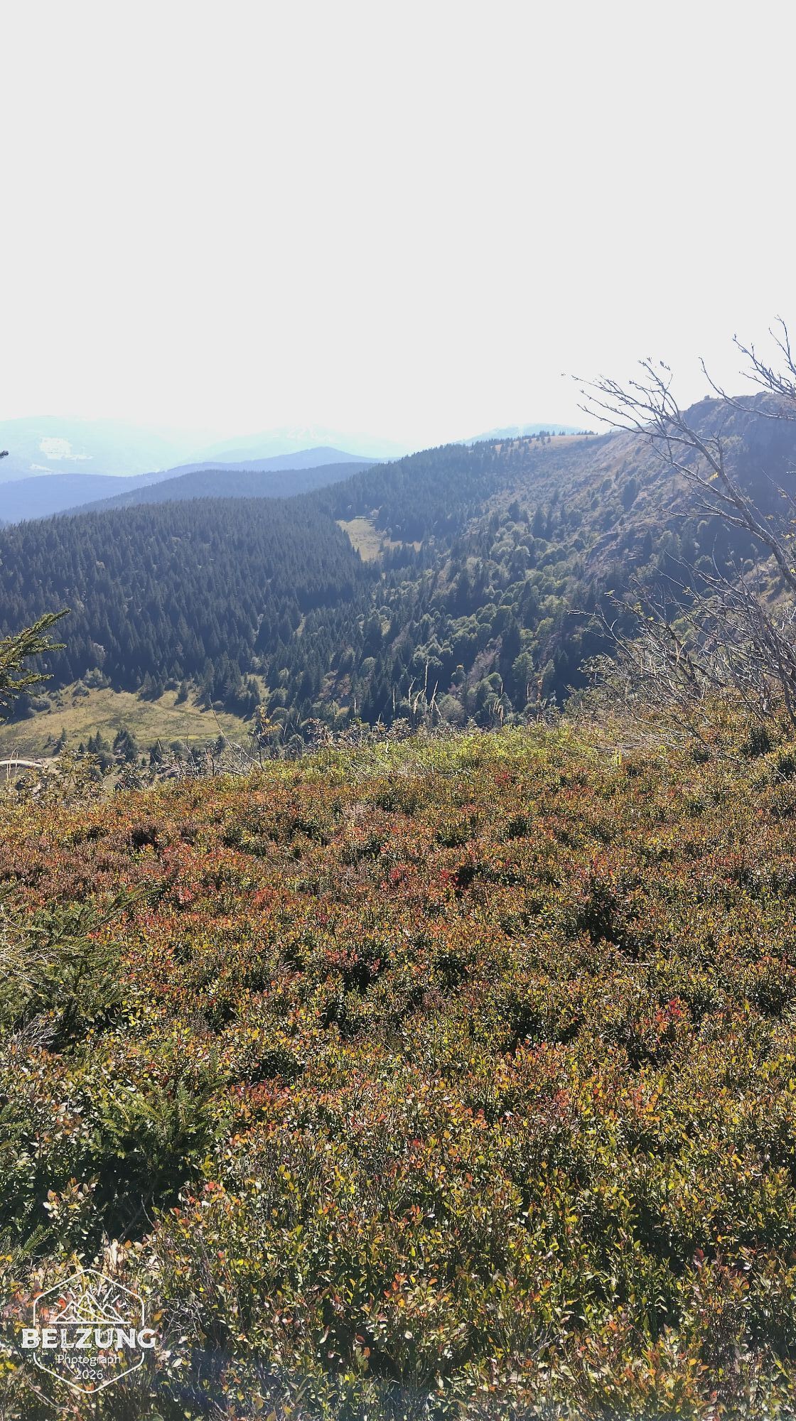
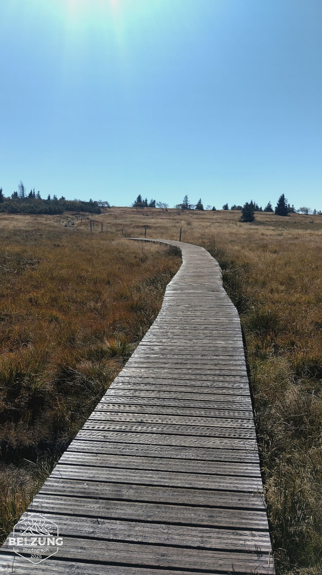
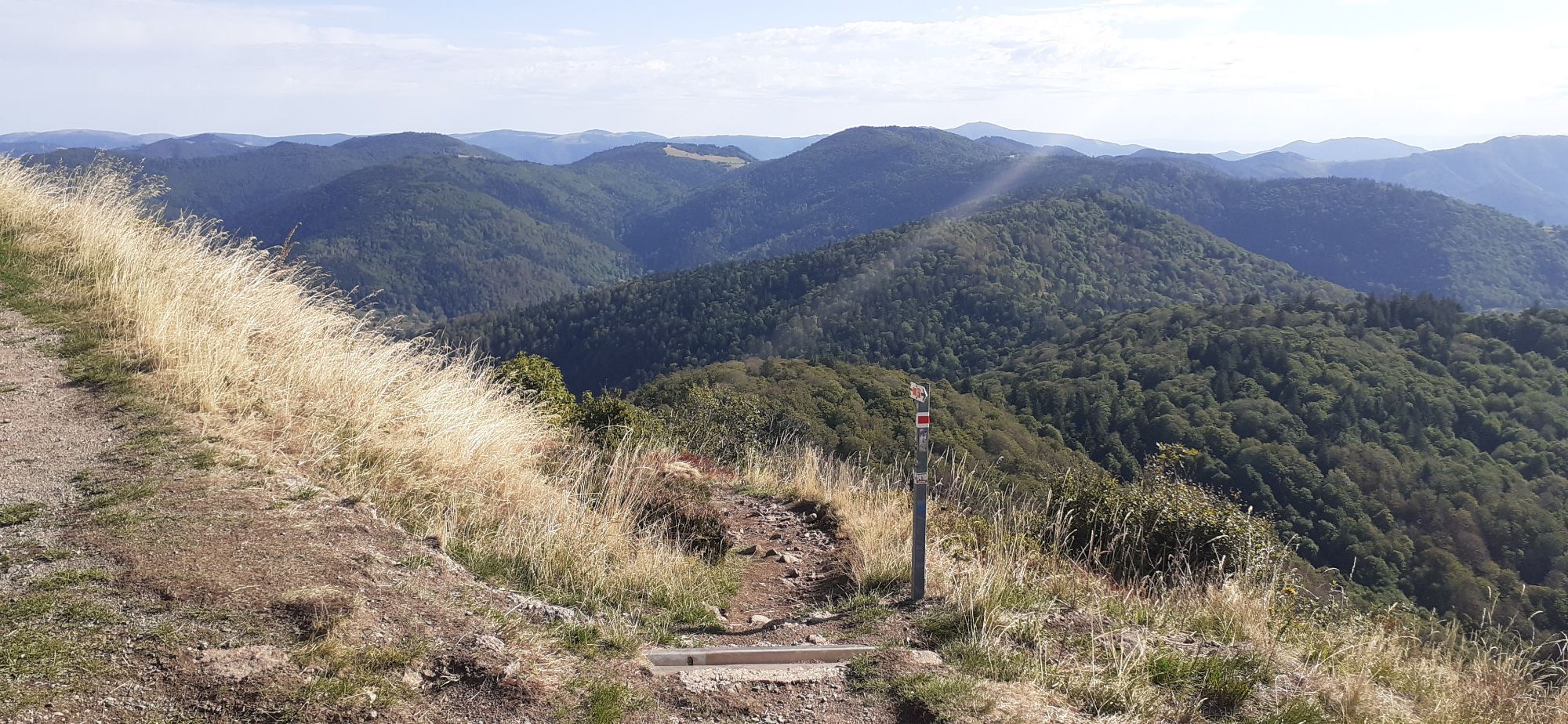
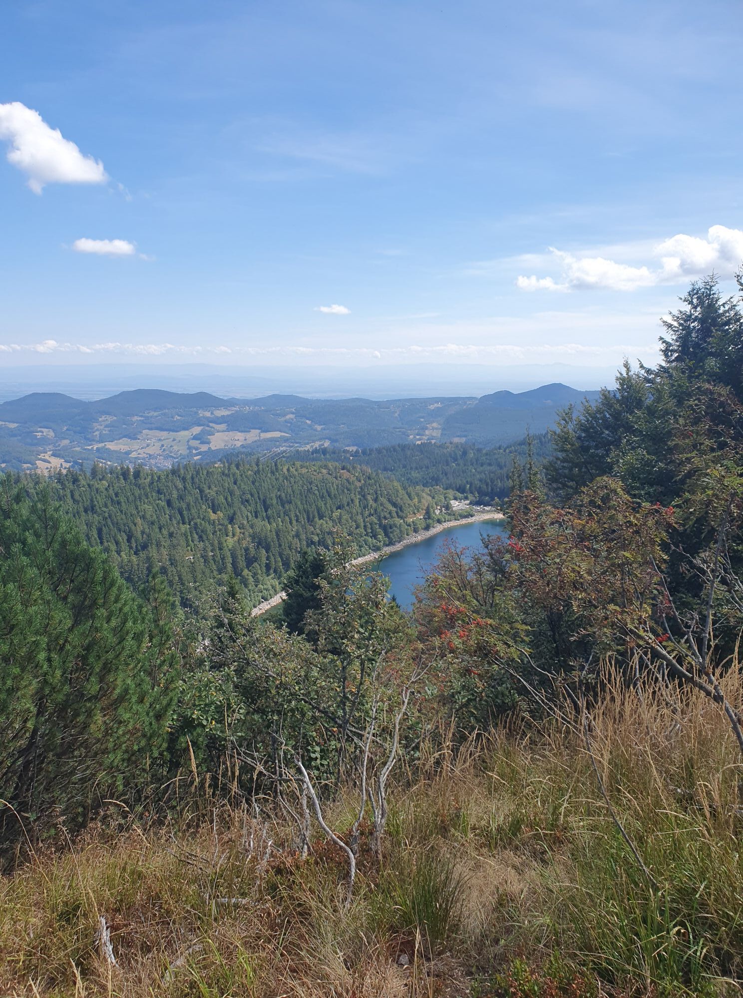
You will link the ascents of peaks and emblematic points such as the Petit Ballon, the Markstein, Le Grand Ballon (1424m), the Hohneck, the Ballon d'Alsace… On the lake side, you will be charmed by the diversity of landscapes.

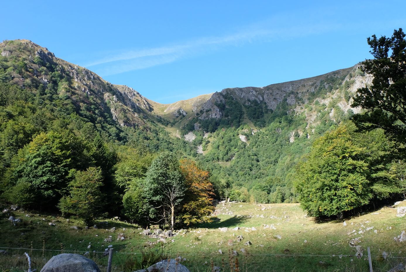
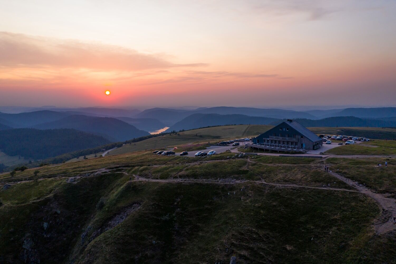
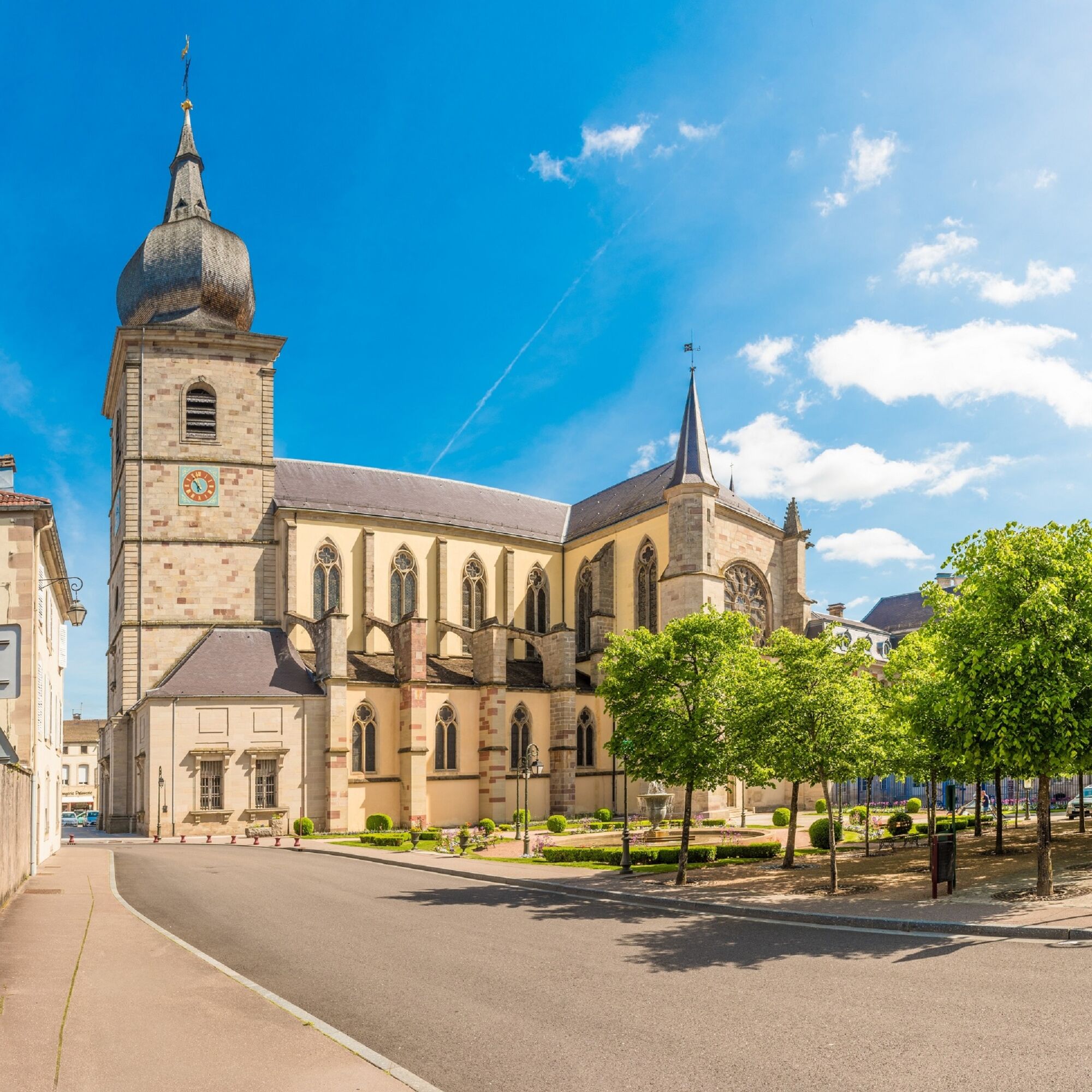
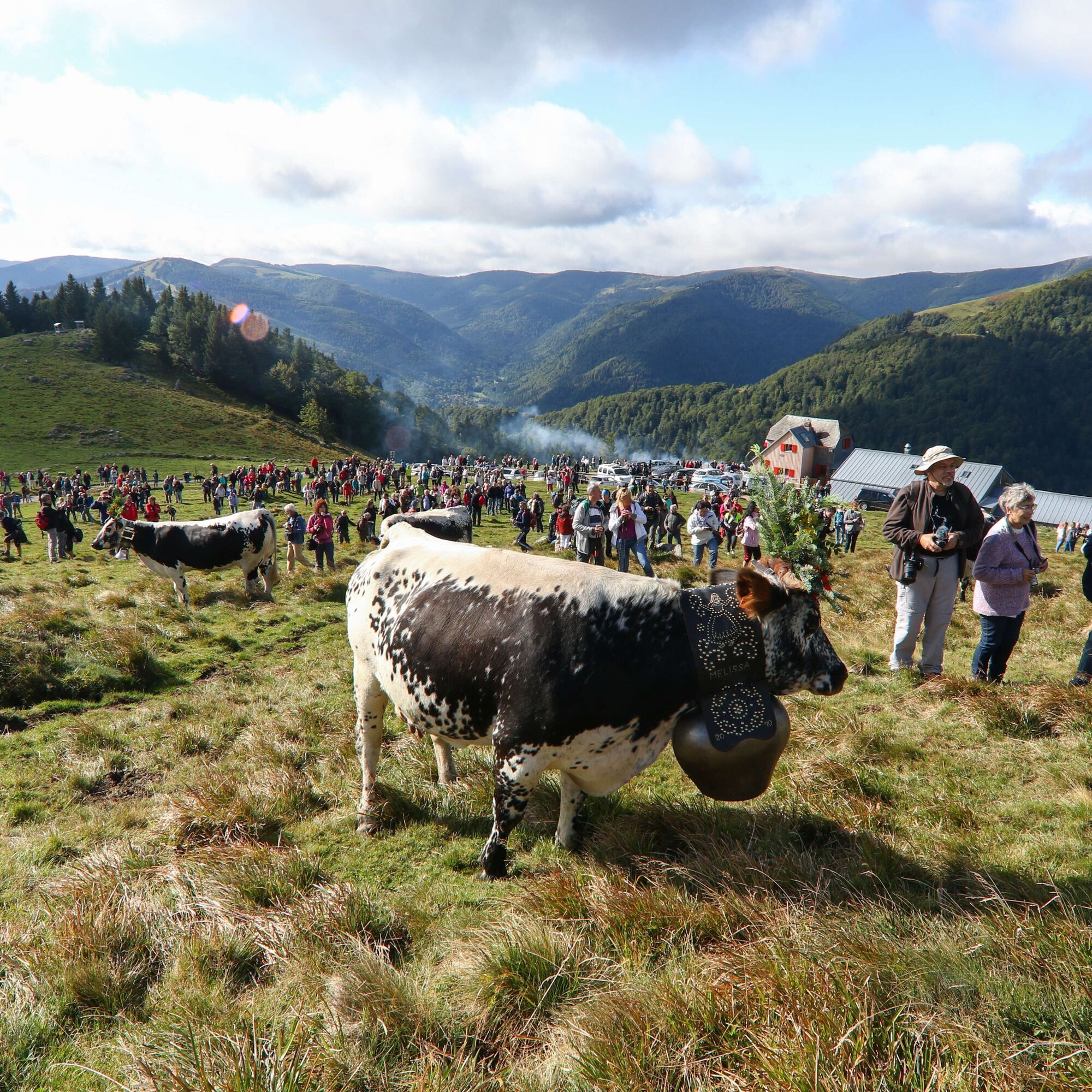
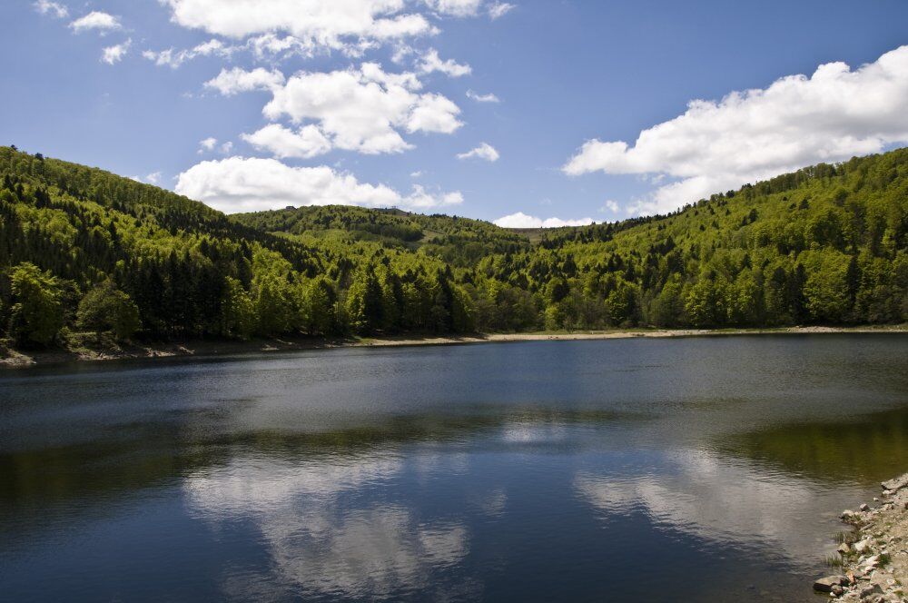
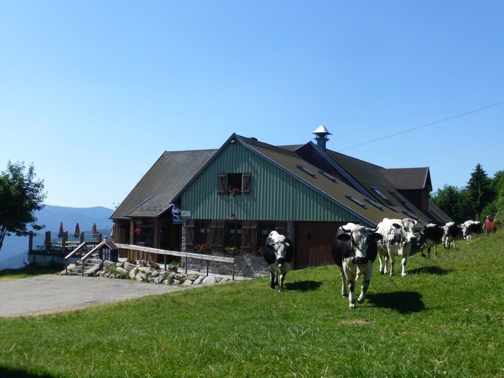
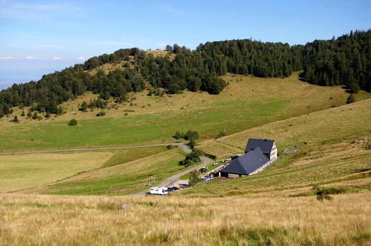

Find the exact route by asking for advice from the mid-mountain guides of the Vosges Massif.
Tak
Clothing adapted to the season and conditions (cold, hot, wet…)
Hiking boots suitable for the terrain (even for children!)
Telescopic poles (useful for stability and relieving joints)
Mobile phone and spare battery if needed
Before setting off:
Check general and local weather, ensuring no precipitation Get information on the approach walk, route height, duration, possible escape routes (IGN map, GPS, guidebook, etc.) Assess possible risks by consulting mountain professionals, shelters, lodges Inform someone close about your objective and contact them if plans change: departure and return times, number of participants with each phone number, vehicle(s), parking Avoid leaving alone, use equipment suitable for the activity, adjusted and in good condition, headlamp, complete first aid kit, survival blanket, etc.In case of problem
Call 112 (European emergency number)
5 key points to relay your alert:
Where? town, location, route, altitude Who? identity, phone number What? type of accident, number of victims, severity, fall dynamics When? time of the accident Weather? wind, visibilityThis route is accessible on the Alsace side via Munster (68000) and on the Lorraine side via Remiremont (88200).
www.tourdesballonsdesvosges.com
This route is well served by public transport (train) with TER stations at Munster (68000) and Remiremont (88200).
You will find free parking spaces in the starting towns.
Do not hesitate to ask for advice from the mid-mountain guides.
The Tour des Ballons des Vosges is a magnificent itinerant hike to discover by following the steps of a mountain guide, for a unique experience of the Vosgian mountains.
Kamery internetowe z trasy
Lac Blanc - Bâtiment d'accueil
Markstein - La Fédérale
Tetras
Gérardmer - Front de neige
Gérardmer - Xettes
Gérardmer - Bas Rupts
Markstein - La Grenouillère
Markstein - Luge sur Rail
Husseren-Wesserling
Markstein - Grand Ballon bas de la piste école
Markstein - Grand Ballon bas de la piste école
Gérardmer - Le Lac
La Schlucht
Station de ski du Gaschney
La Bresse - Centre-ville

Popularne wycieczki w okolicy
- 4,3
Hiking route - the circuit of the 3 lakes
średniWędrówka 12,7 km - 5,0
Le tétras bistrot - Hohneck - Chapelle Notre-Dame-des-Chaumes - Brasserie de la Schlucht
ciężkiWędrówka 10,7 km - 4,6
Eguisheim zu den 3 Burgen
średniWędrówka 7,90 km - 5,0
Vogesen Col de la Schlucht
ciężkiWędrówka 19,3 km - 4,5
From the Schlucht to the Hohneck
średniWędrówka 8,21 km - 4,0
Boucle du Grand Ballon de Goldbach-Altenbach, France
średniWędrówka 14,7 km Grand Ballon route in 3 days
ciężkidługodystansowy szlak pieszy 54,2 kmTour de l'Altenweiher et Rainkopf, Mittlach, France
średniWędrówka 12,6 km- 4,7
The Lac Blanc ridge
światłoWędrówka 5 km - 4,8
Longemer Col des Feignes Walk
średniWędrówka 8,83 km
Wędrówki i tropienie


Nie przegap ofert i inspiracji na następne wakacje
Twój adres e-mail została dodana do listy mailingowej.


