






The Three Bridges Trail (Radovljica - Šobec - Lancovo - Radovljica)
The Three Bridges Trail literally takes you across three different bridges of three different rivers named Sava Dolinka, Sava Bohinjka and Sava. It's very rewarding at any time of the year: either as a...
The Three Bridges Trail literally takes you across three different bridges of three different rivers named Sava Dolinka, Sava Bohinjka and Sava. It's very rewarding at any time of the year: either as a long (but not at all challenging) stroll, an afternoon run or even an undemanding mountain bike trail.
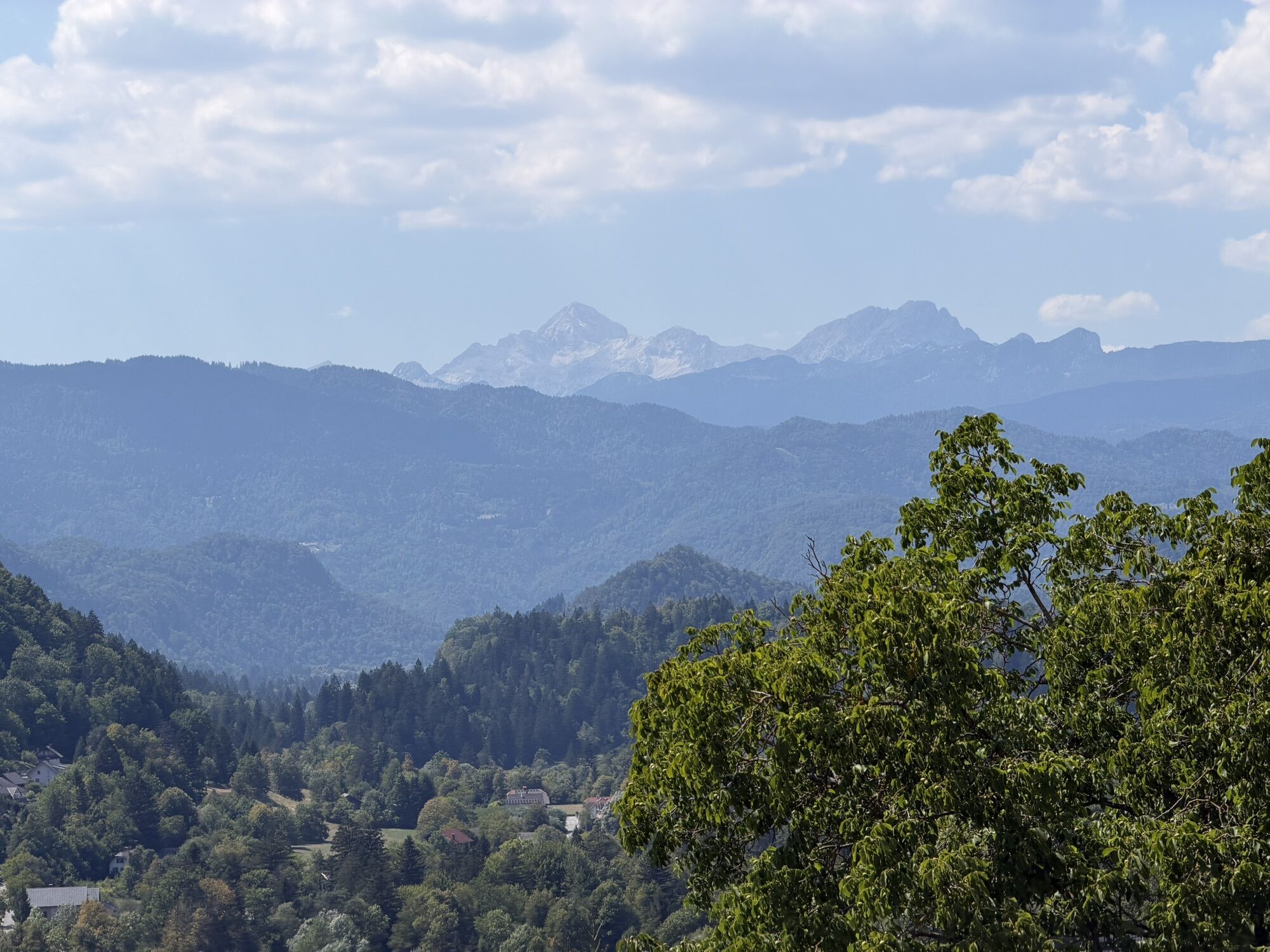
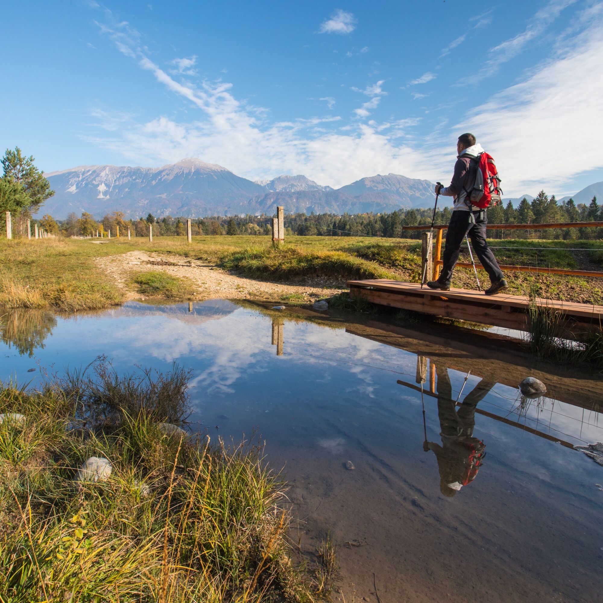
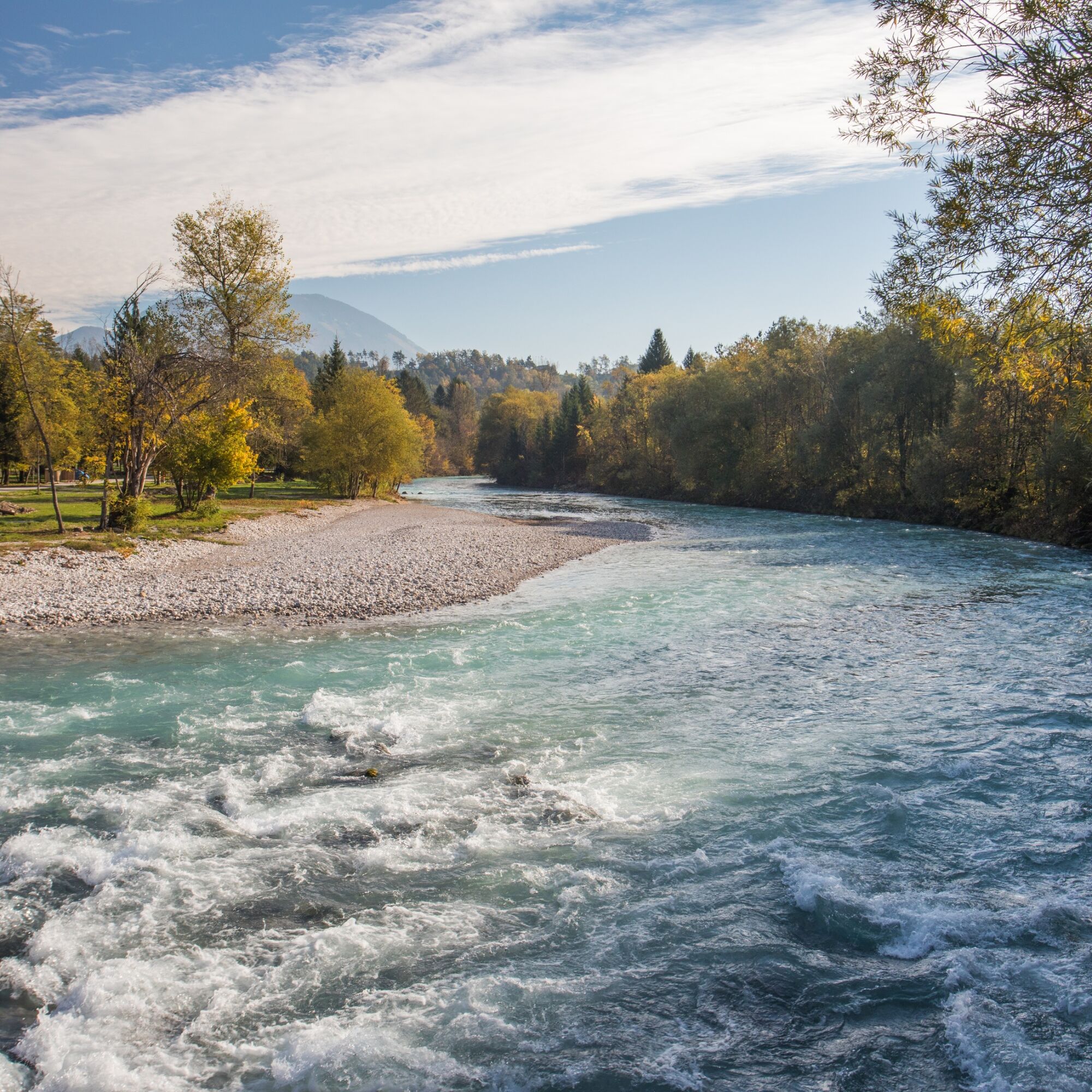
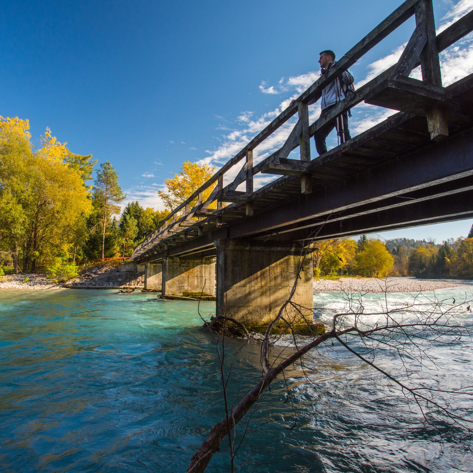
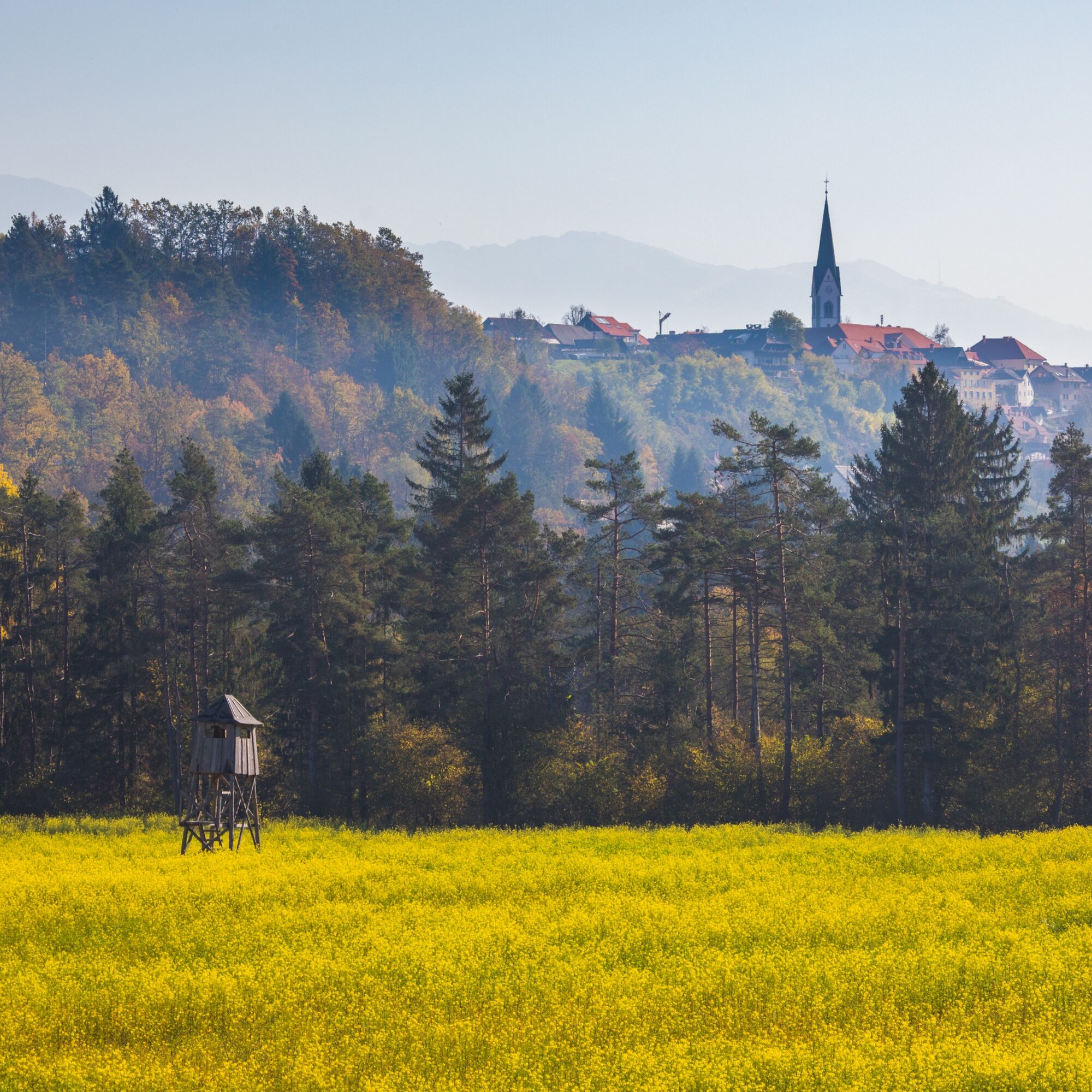
The circular tour originally starts at the Tourist information centre in Radovljica, though it could also be embarked upon from Campsite Šobec where we encounter the first of the three bridges. From Radovljica the walk goes across green fields and descents to Šobec Camping. From there the path continues across wide open pastures of Svetje, featuring stunning views of Karawanke mountain range. Beautifully nestled on top of the natural promontory, Radovljica greets along the way, as you approach the second bridge beneath the sheere cliffs of BodešÄe. Shaded by trees and acompanied by the Sava Bohinjka river, the trail leads you pass the confluence of both rivers. Not far from there we reach the third (and last) of the bridges, this one leading over Sava River (which is the longest Slovenian River). On the other side of the bridge you can return to Šobec Camping via Sava River Trail or continue to Radovljica. There is only a short climb back to the trailhead in Radovljica.


The trail starts at the lovely roundabout, just outside the former town gates of medieval Radovljica. Head towards the park and walk by the tree-lined lane. Continue straight ahead towards another small park with a statue and follow the main road untill you reach the beautifully decorated buidling know as "little bee". There go acroos the street into a one-way street. Follow this street until the small roundabout and turn right.
When you reach the grassy area on the left side of the street, cross the street and follow the path across the grass and continue (the residential buildings on your right) straighton, untill the path reaches the asphalt street. Turn left and continue walking on the street, passing by the family houses. The street ends with a small shrine. You walk in the same direction on a macadam road, with a shrine and railway on your left-hand site, untill you reach a railway underpass. You walk through and turn right on the other side. The path will lead you to the main road, where you turn left and walk all the way to the roundabout. At the roundabout you turn right and then on the first paved road on your left.
The trail leads you alongside the garage, before descending rather steeply into the forest. Within few minutes the trail meets a quiet forest gravel road. Turn left and continue descending on the road leading to campsite Šobec. As you will be standing in the fork by the fence of the campsite turn right and continue the descent overlooking a small lake.
As you get down right to the lake you will see a large building on your left hand side (restaurant of Campsite Šobec). Continue walking in the same direction to meet the reception building at the entrance to Camping Šobec (subject to entrance fee in July and August!). As you enter the campsite, walk on the pavement alongside the road leading towards a small roundabout. Turn right (straight ahead) there and countinue the walk on the embankments of river Sava Dolinka. At the end of the peninsula you will be greeted by a wooden bridge. Cross the bridge and turn left reaching the other side of the river.
A very obvious field lane leads you southwards across wide open pastures and (later) corn fields. Reaching the end of a natural promontory the path bends to the right-hand side and ascends a small pass overlooking Sava Bohinjka river. Turn right and descend down the gravel road to reach the second bridge on your journey.
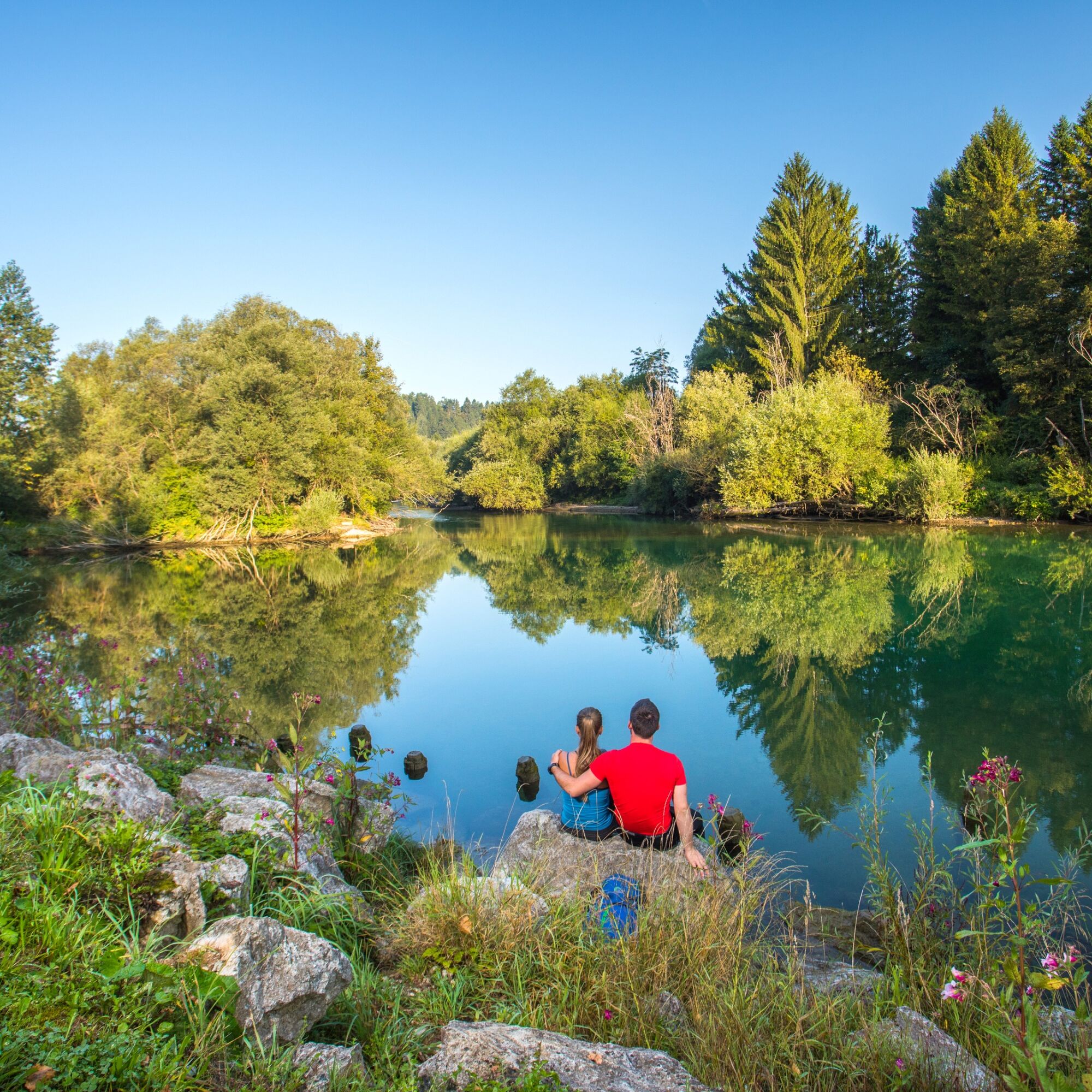
Cross the bridge, than turn right to continue walking on the gravel road leading alongside the river. Shaded by trees, with delightful views of the river below the trail leads you eastwards towards Radovljica.
Just above the reservoir lake on river Sava Bohinjka the gravel road turns into tarmac, and you are greeted by the first houses and a vividly painted shrine. Continue on the tarmac road leading into the village of Lancovo. Follow the road, until reaching the junction with the principal road and a large bridge across (now unified) river Sava.
Walk across the bridge (using the pavement) and ignore the first left hand side turn leading to a group of new build houses. Follow the roadside barrier on the right-hand side of the road right to its end. You will notice a narrow trail ascending up the slope on a set of stairs. Scale the stairs (made of railway sleepers) to reach a quiet road (Cesta svobode). Turn right and follow the road upwards all the way to the foot of medieval Radovljica. Reaching the top of the railway station you can climb straight up the narrow street back to Tourist information centre, or ( more recommended) turn right and walk the principal road up to the view point by the former south town gates of Radovljica. Take time to enjoy the view point terrace and explore the streets of medieval town.
Tak
Tak
Tak
Though the walk follows pristine alpine rivers, make sure you pack a water bottle on a hot sunny day.
If you are set to ride the The Three Bridges Trail by bike, be very attentive of the first part of descend from Lesce to Campsite Šobec. Unless you are an experienced downhill rider, we advise you to make a small detour when you reach tje roundabout at the road Kropa - Radovljica. When you cross the roundabout, continue on the road untill the next roundabout. There you take the third exit and descent to Camping Šobec on macadam road.
Arriving from Bled:
Use the motorway A2 and take the exit 4 (OMV petrol station). Follow the signs for Radovljica, when reaching the first junction. Turn left and drive towards the town until reaching the junction with traffic lights, than turn left again. Follow the principal road (Kranjska cesta), than Gorenjska cesta for the old town centre.
Arriving from Ljubljana:
Use the motorway A2 and take the exit 4 (OMV petrol station). Reaching the local road, turn right for Radovljica and cross the motorway overpass. Drive towards Radovljica until reaching the junction with traffic lights, than turn left again. Follow the principal road (Kranjska cesta), than Gorenjska cesta for the old town centre.
By train: arriving from the direction of either Ljubljana or Jesenice, exit the train at Radovljica train station
Stepping out of the indoor staircase of Radovljica train station, walk straight up the narrow road (Kolodvorska ulica) to meet the roundabout by Radovljica tourist information centre.
By bus: frequent buses connect Radovljica to Bled, Kranjska Gora, Jesenice and Ljubljana
You can join The Three Bridges Trail at the municipality or Gorenjska banka (directly opposite the bus station). If you wish to start at the original trail head, walk through the park to the Tourist information centre (look for the signs : old town).
Most parking spaces in Radovljica are time limited, therefore use of public transport is warmly recommended.
Starting the trail at Camping Šobec, you can use the parking area opposite the reception (subject of parking fee on weekends).
Reaching the second bridge, it well worth to climb up to Bodešče and enjoy the stunning views from Gradišče hill (above the church of St. Leonard).
 Uzyskaj wgląd
Zawsze na żywo z ponad 9 500 kamer internetowych. bergfex Jako użytkownik Pro, możesz teraz zobaczyć odpowiednie kamery internetowe dla wielu wycieczek w aplikacji wycieczki od. Pozwala to na bezpośredni podgląd aktualnych warunków.
Uzyskaj wgląd
Zawsze na żywo z ponad 9 500 kamer internetowych. bergfex Jako użytkownik Pro, możesz teraz zobaczyć odpowiednie kamery internetowe dla wielu wycieczek w aplikacji wycieczki od. Pozwala to na bezpośredni podgląd aktualnych warunków.

Popularne wycieczki w okolicy
-
4,2
MTB-Tour zur Klagenfurter Hütte
średniMountainbike 12,6 km -
4,6
Heart trail around Bled lake
średniTrasa tematyczna 5,93 km -
4,5
Slow Trail Meerauge
światłoWędrówka 5,25 km -
4,4
From Bärental to the Kosiak (Klagenfurter Hut)
średniWędrówka 9,67 km -
4,7
Ogrisalm ab Bodenbauer, Kärnten/Österreich
światłoWycieczka narciarska 11,2 km -
4,5
Vintgar Gorge
średniWędrówka 7,69 km -
4,9
Bärental: Vrtača 2180, Svačica 1959
średniWędrówka 13,4 km -
5,0
Rjautza, Bodental, Österreich
średniWędrówka 10,6 km -
4,0
Hochstuhl (2237m) über Klettersteig (B/C) und Klagenfurter Hütte
ciężkiVia ferrata 10,3 km -
4,8
Begunjscica
średniWędrówka 12,0 km
Wędrówki i tropienie


Nie przegap ofert i inspiracji na następne wakacje
Twój adres e-mail została dodana do listy mailingowej.





