






RADOVLJICA I1: TIC Radovljica – TRANS Karavanke

Poziom trudności: 4
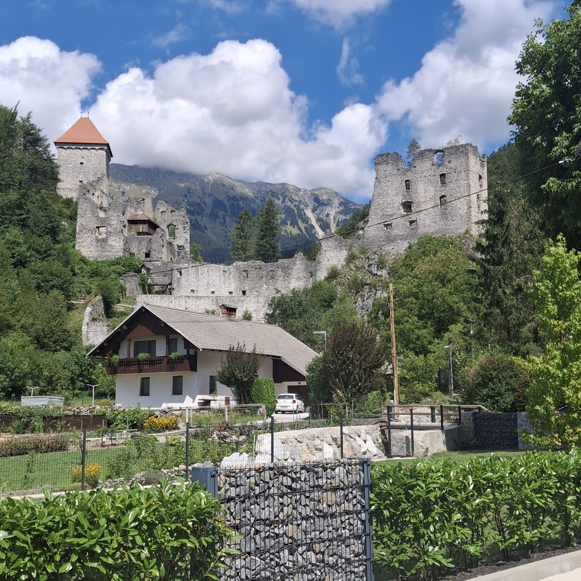
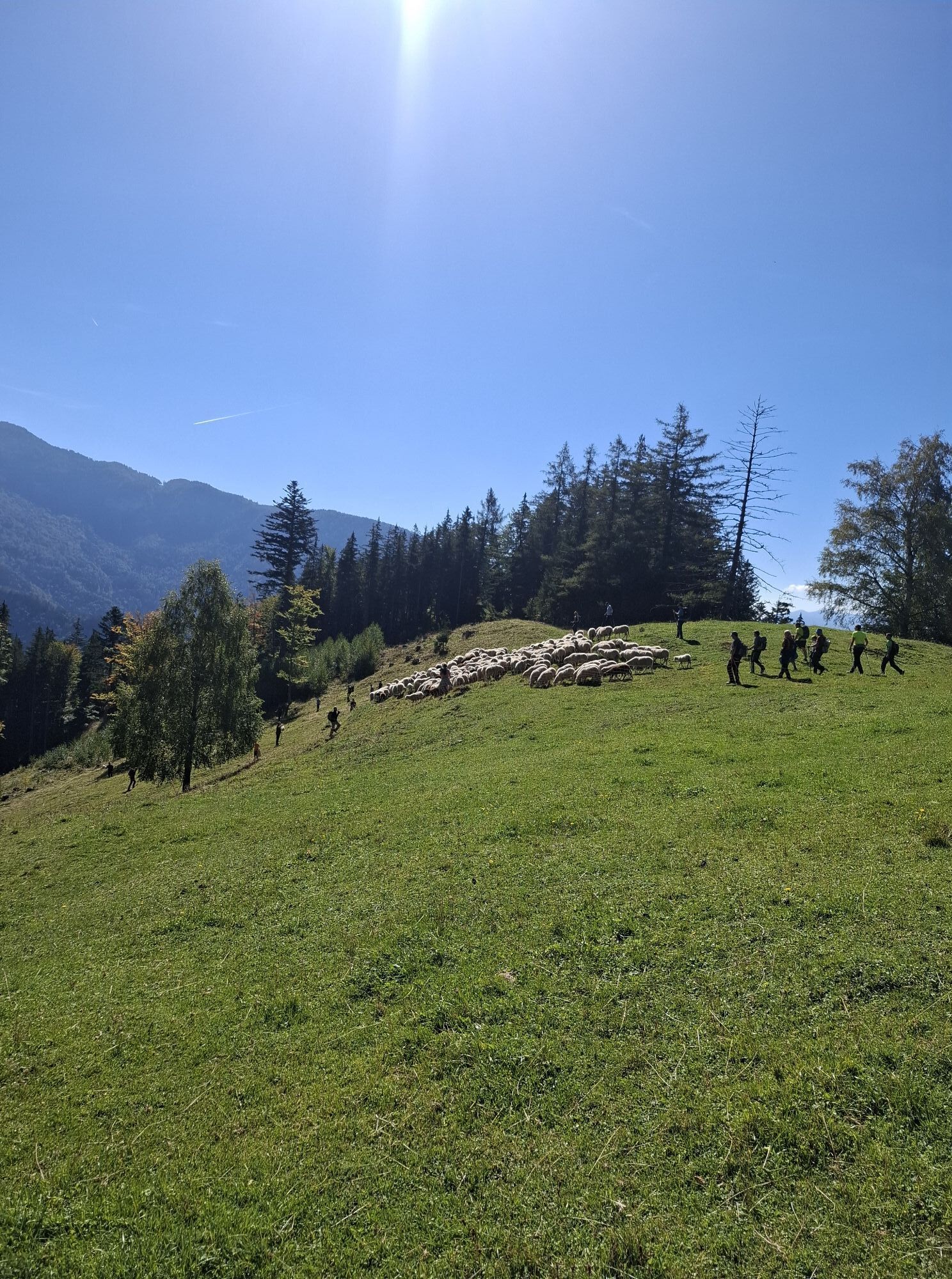
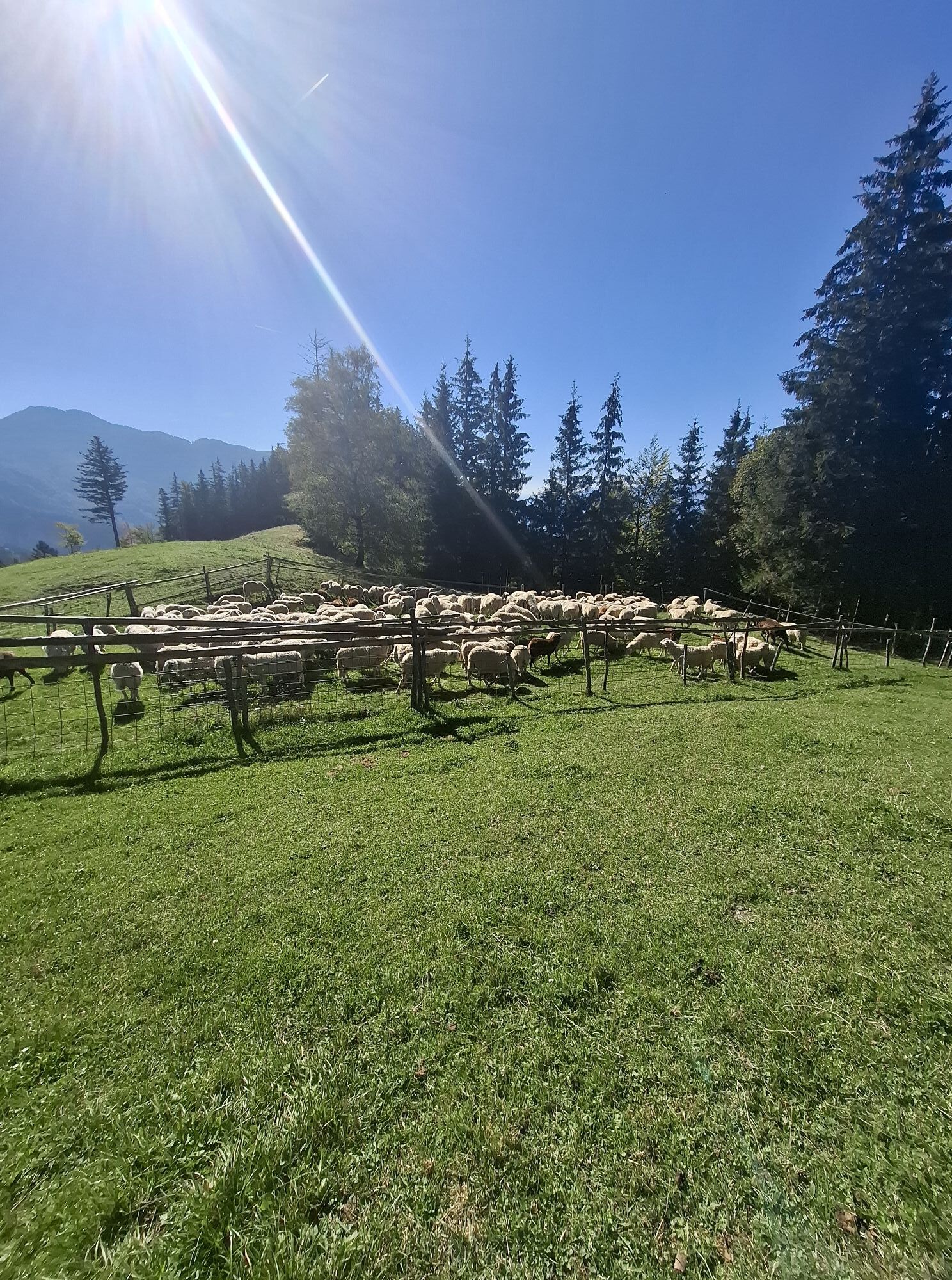
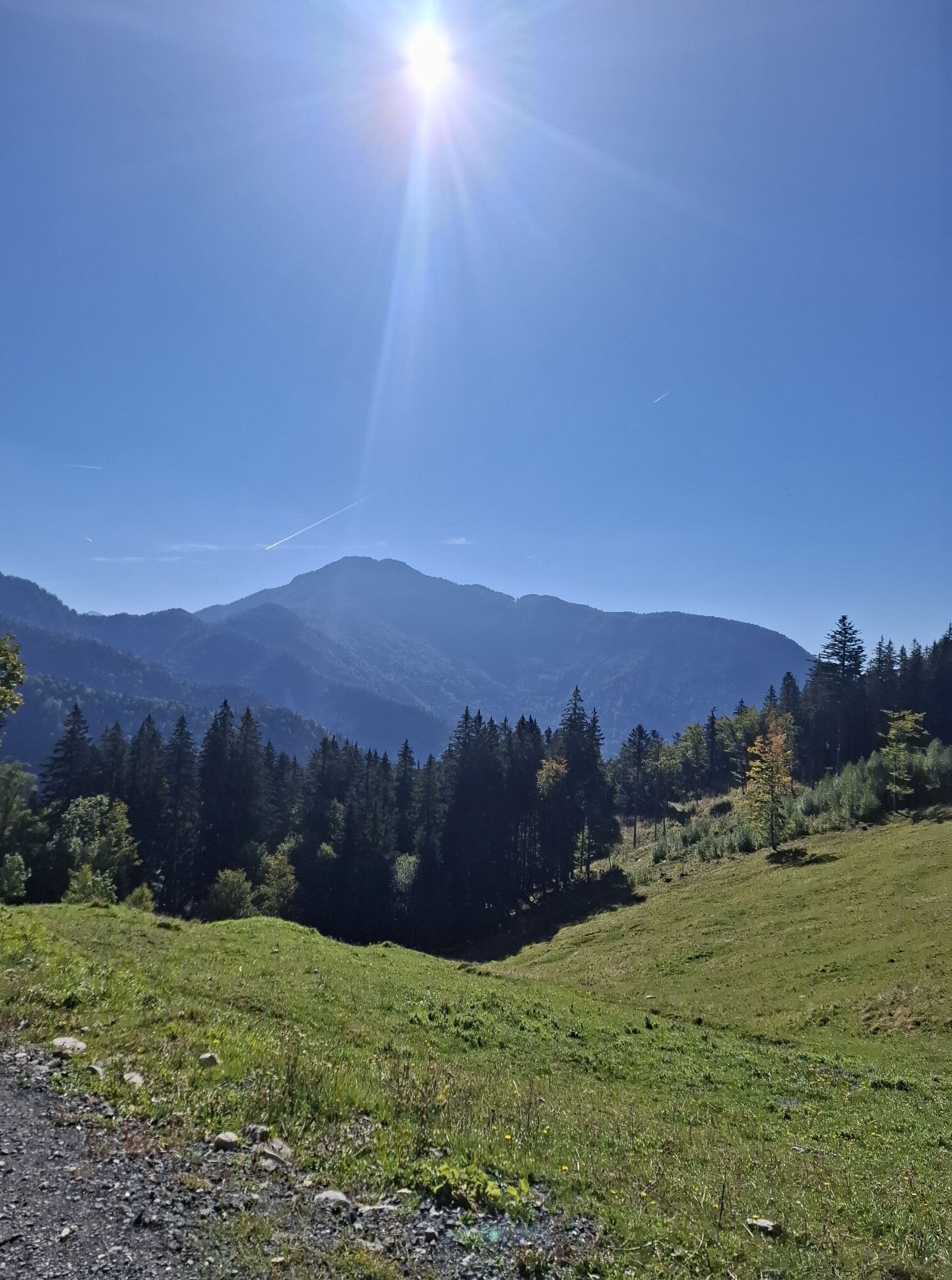
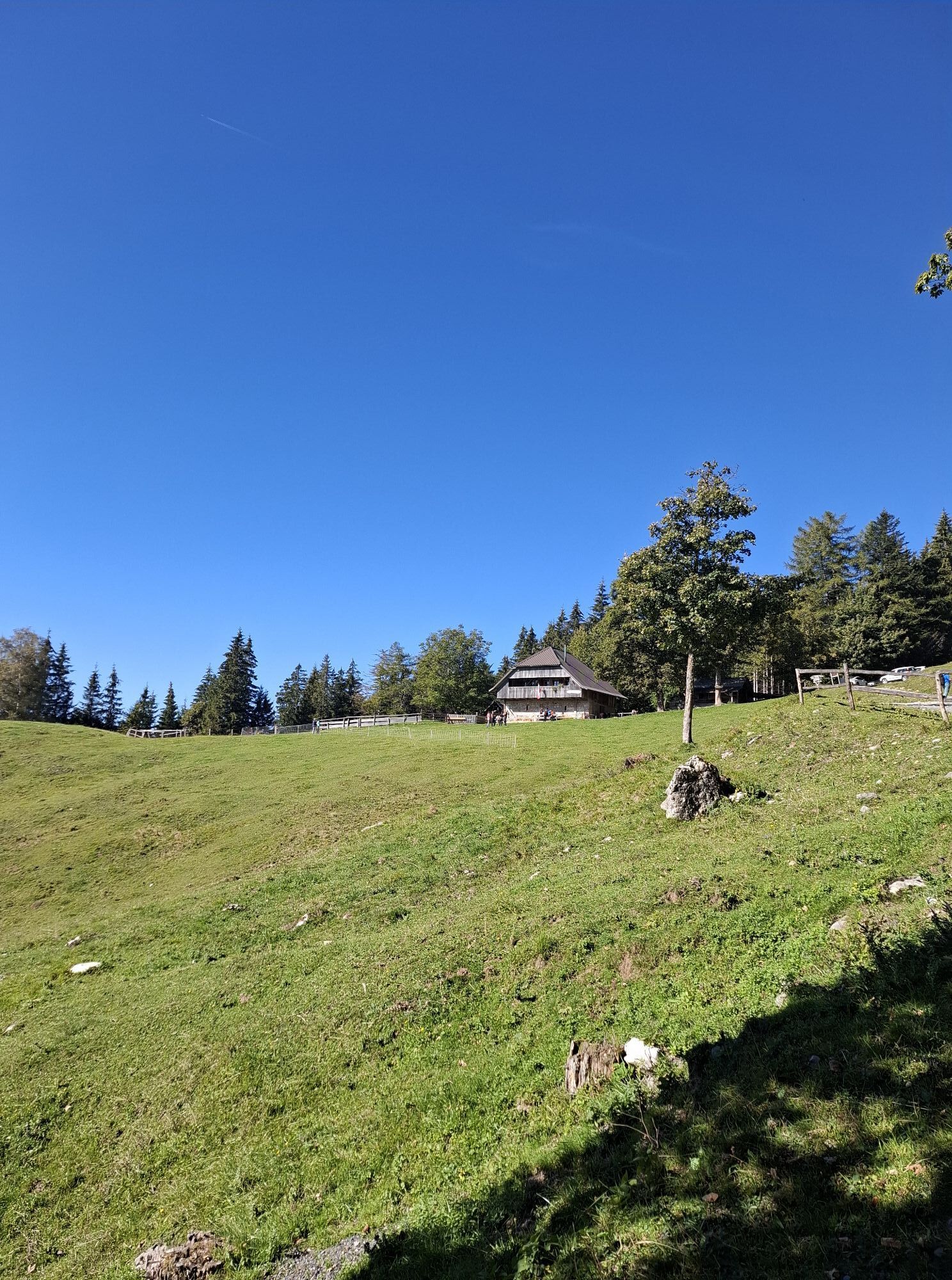
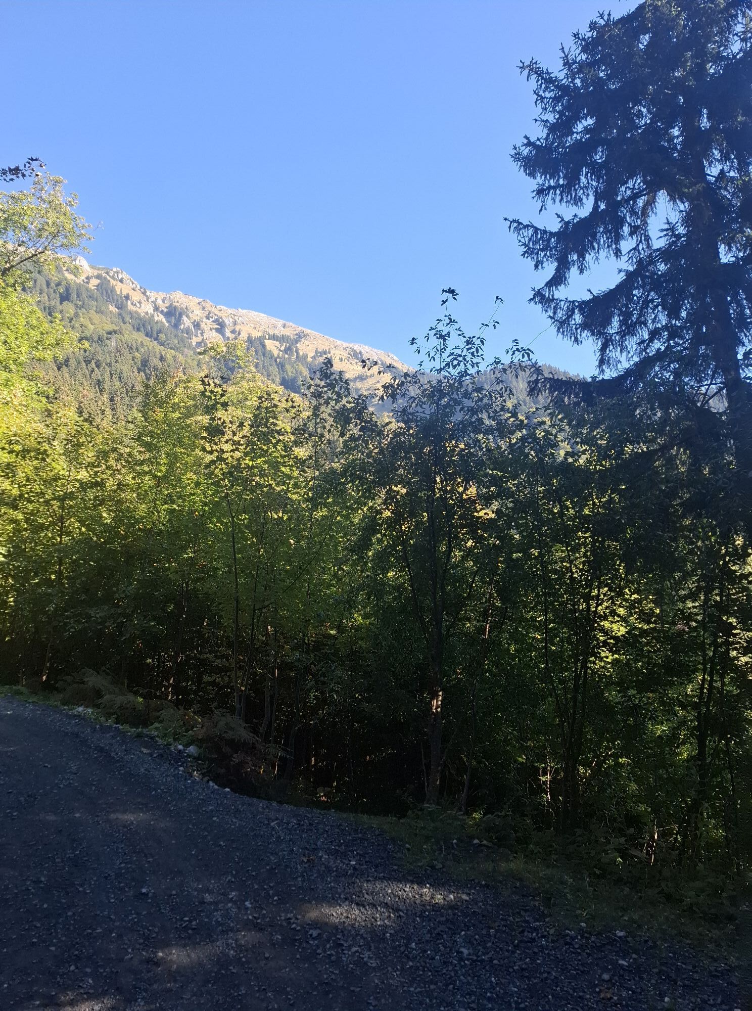
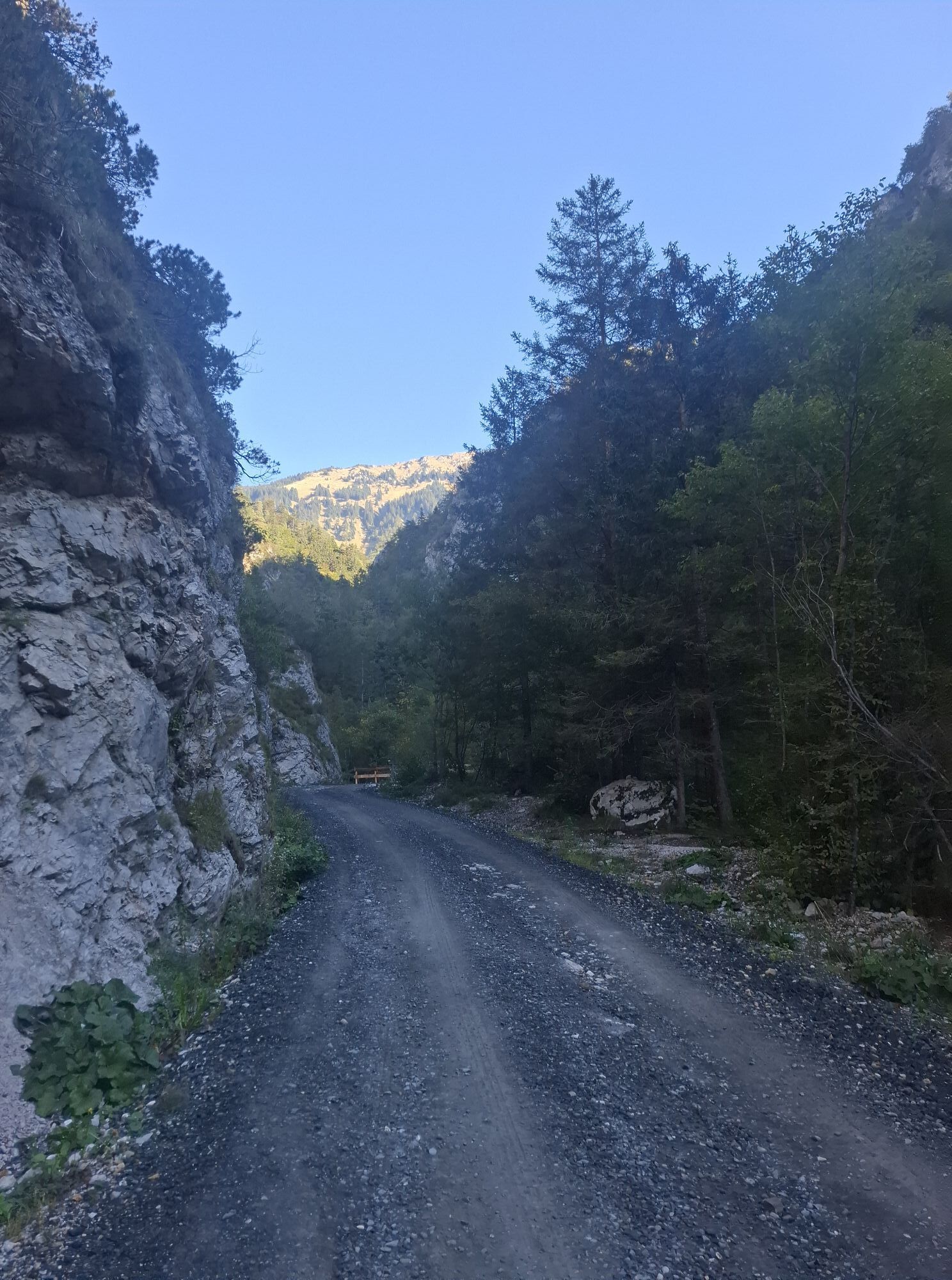
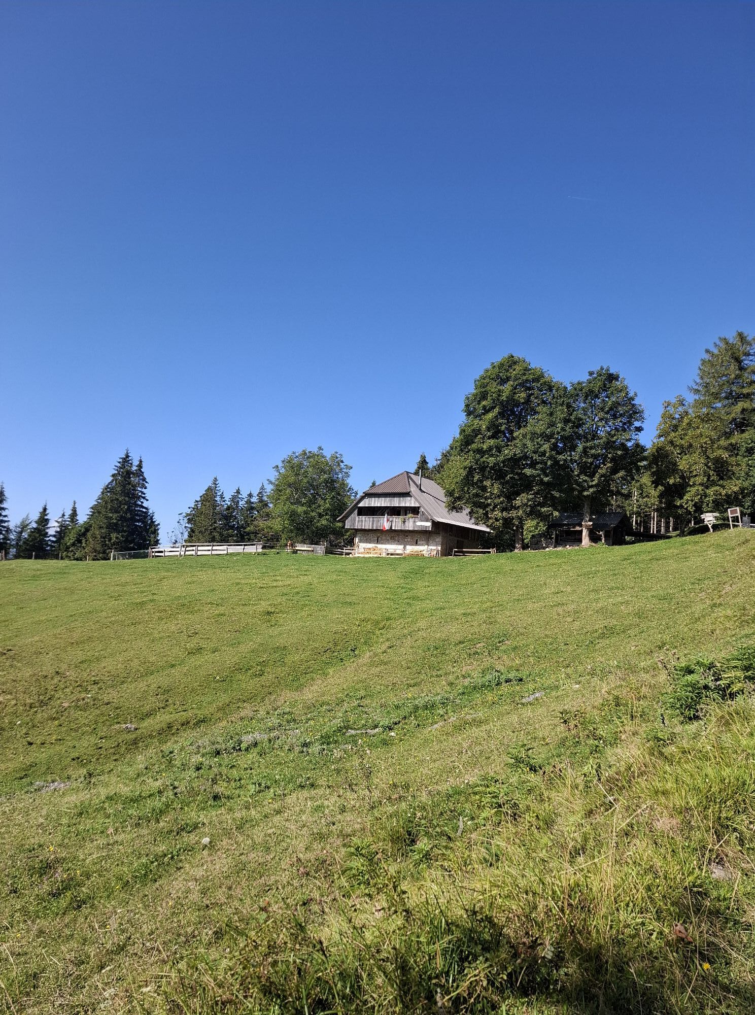
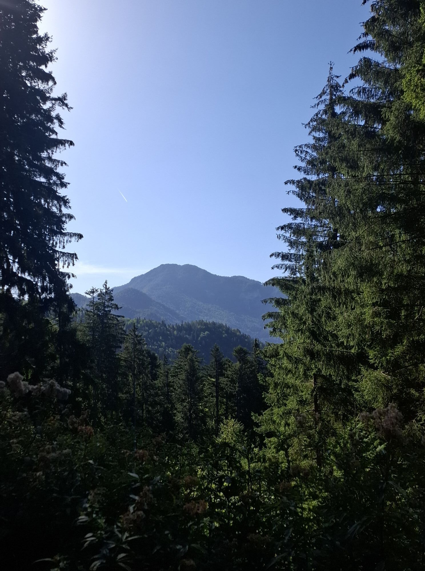
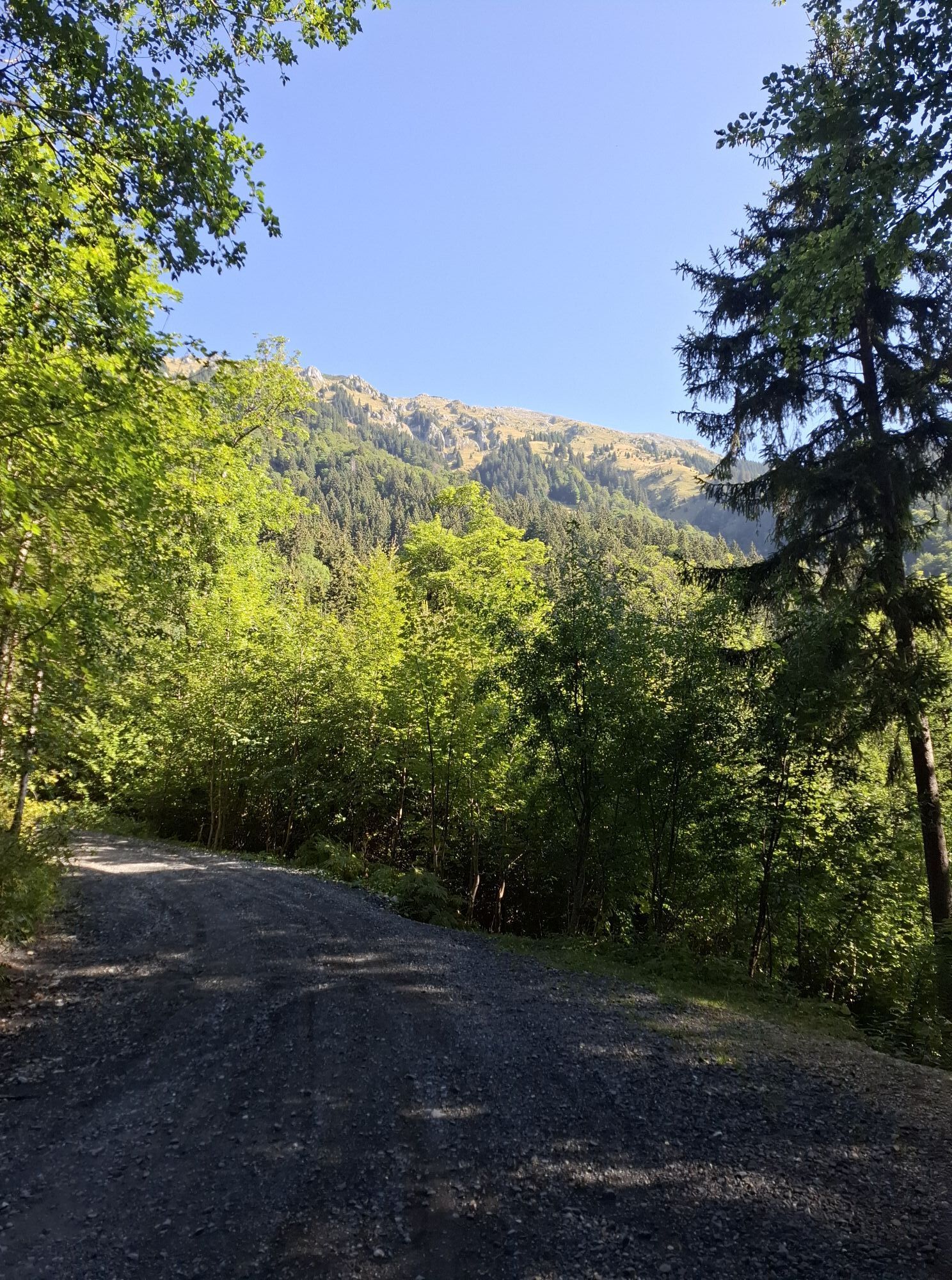
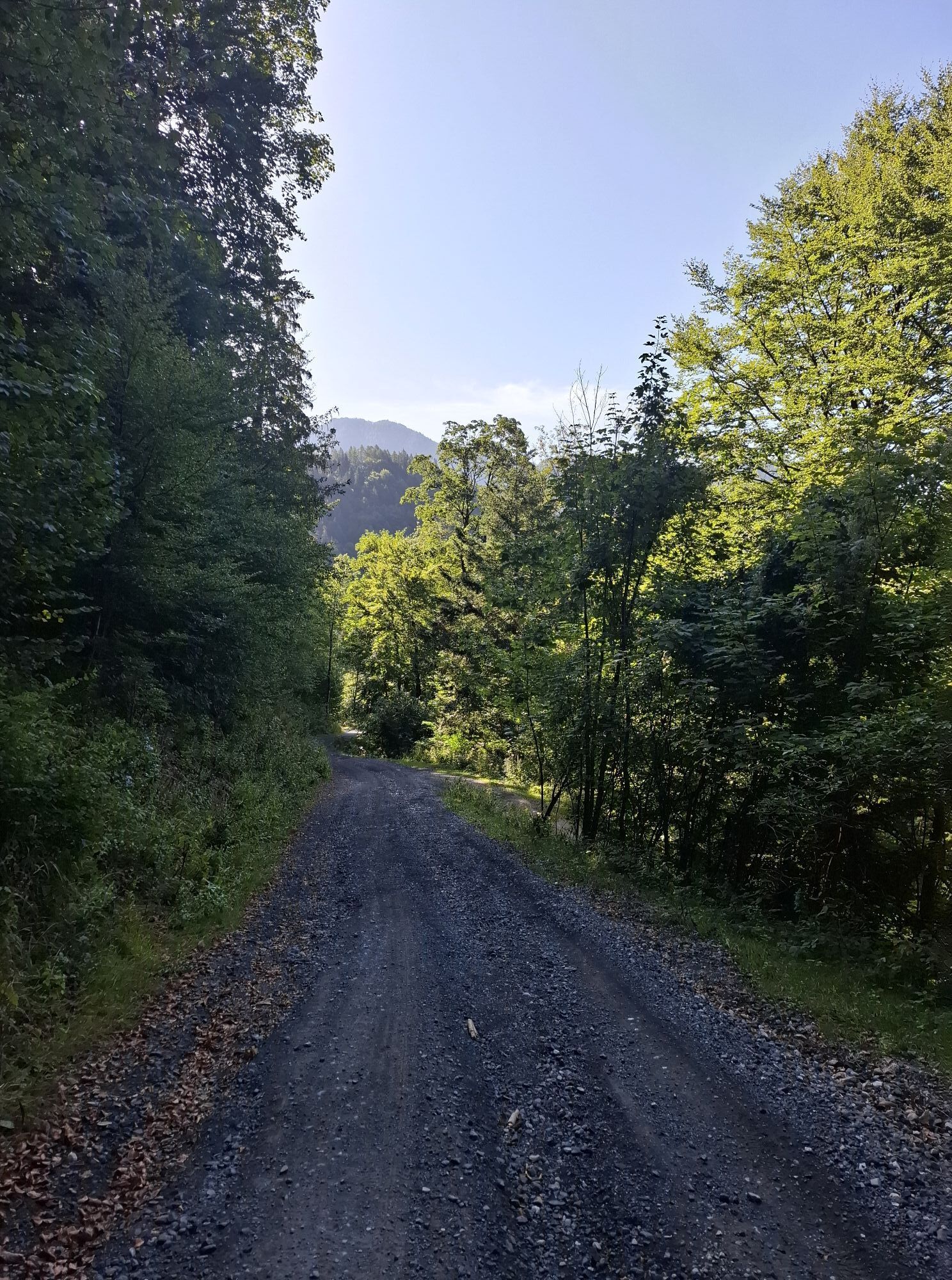
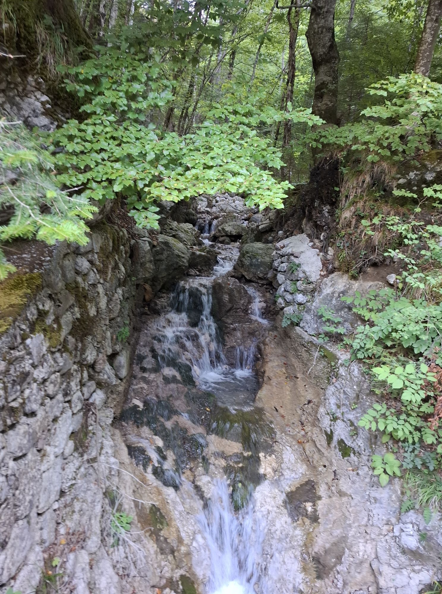
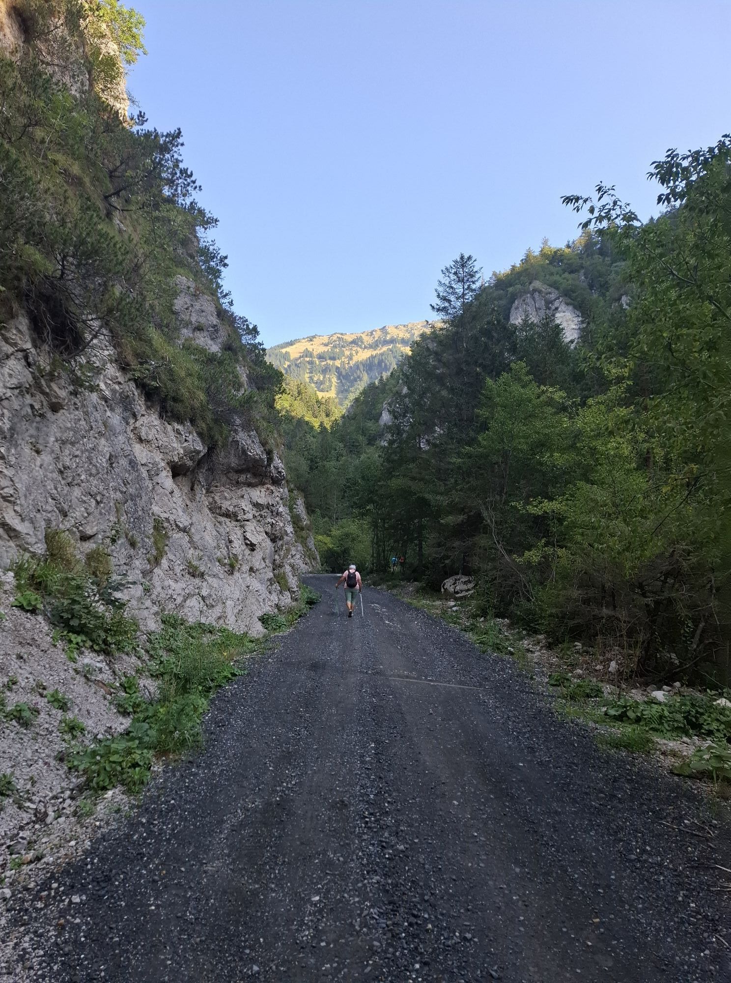
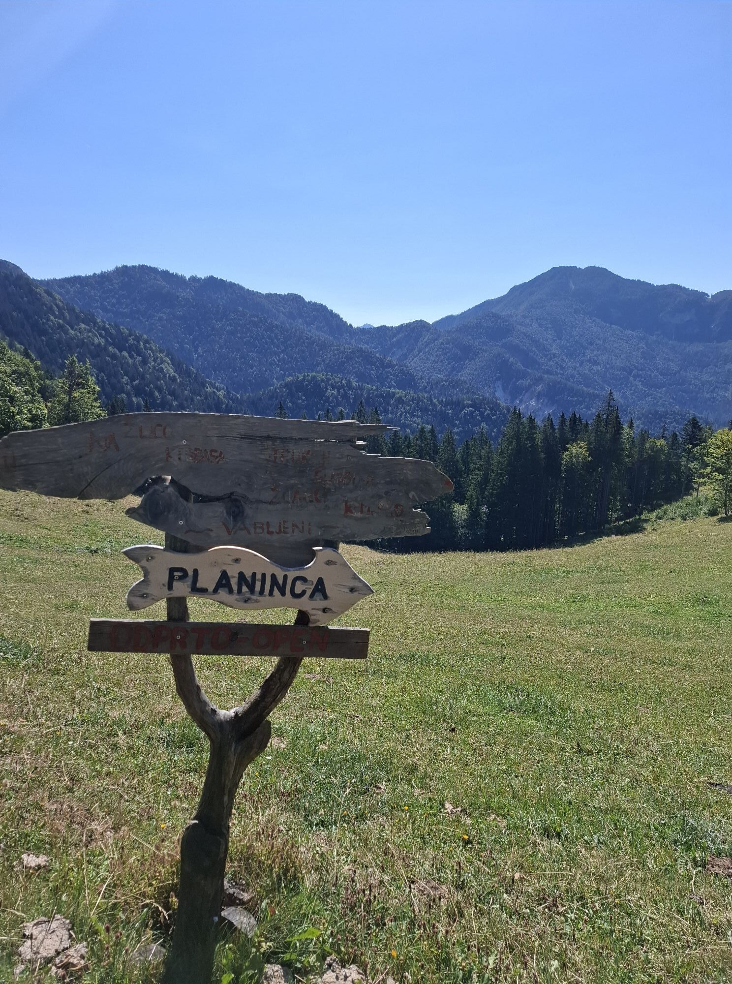
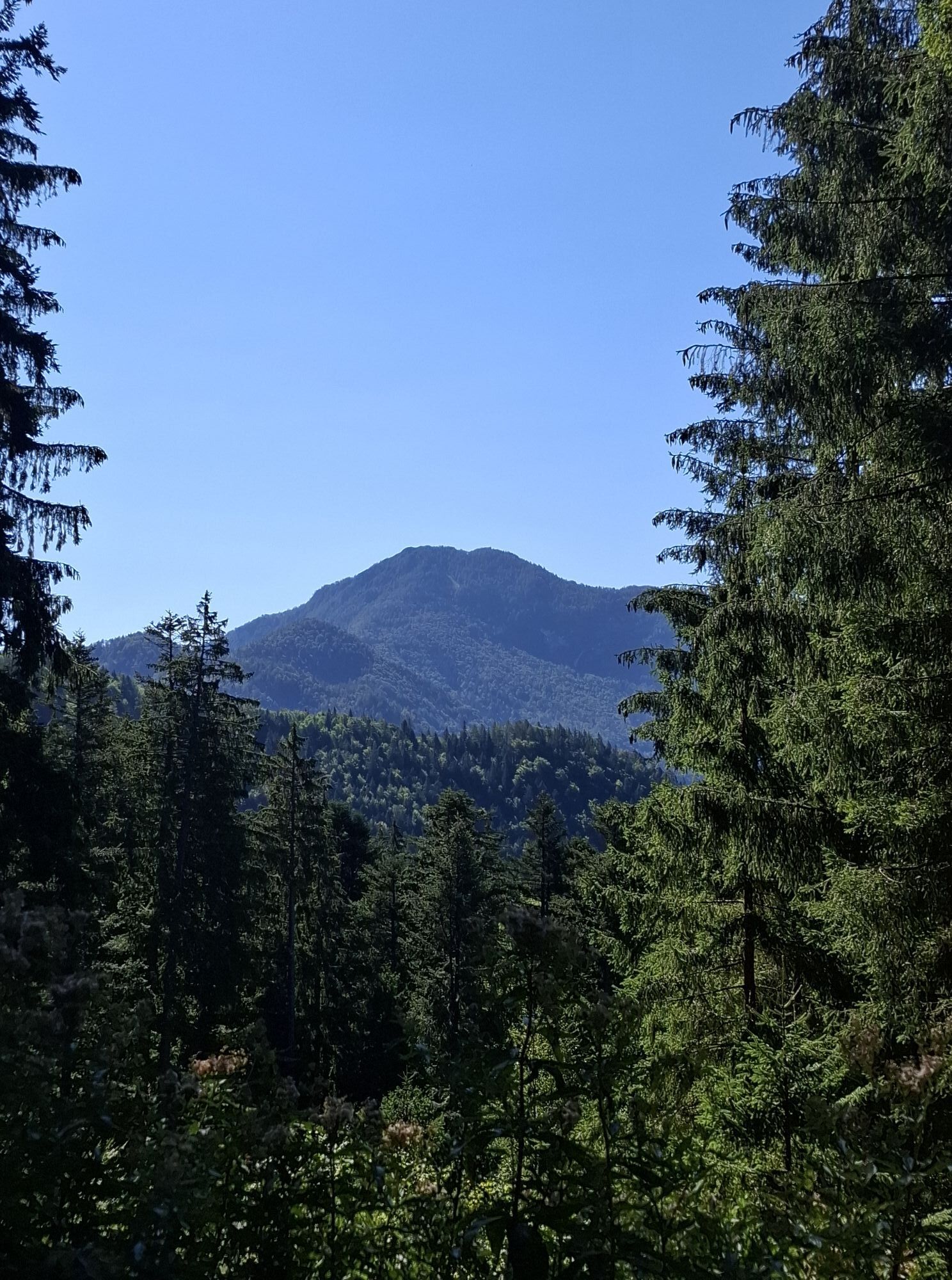
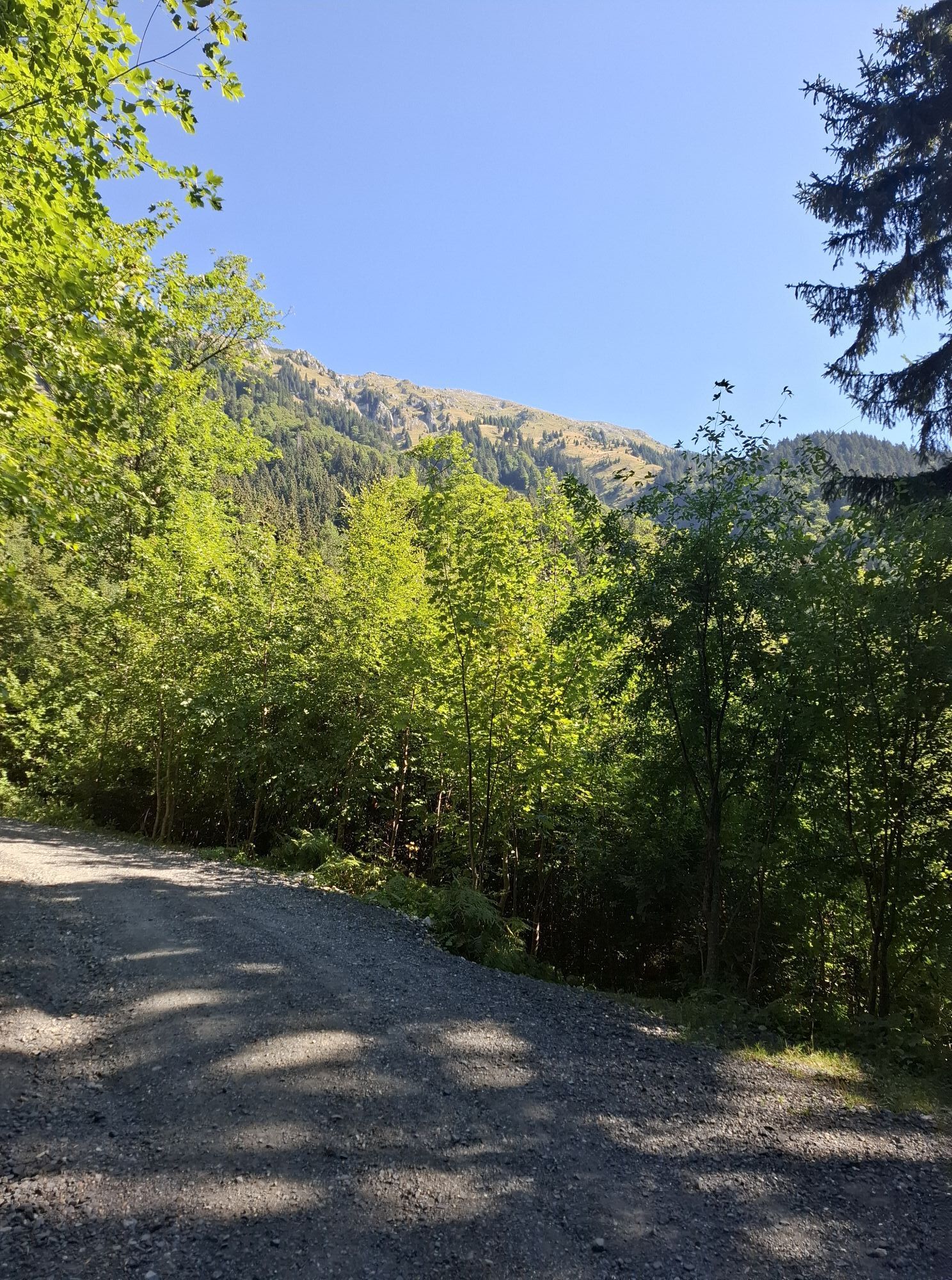
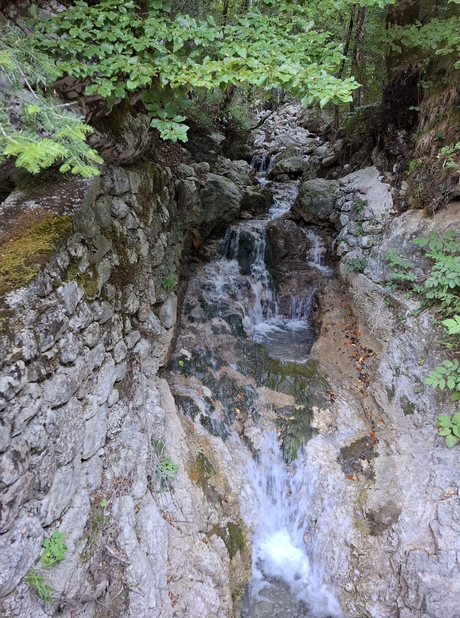
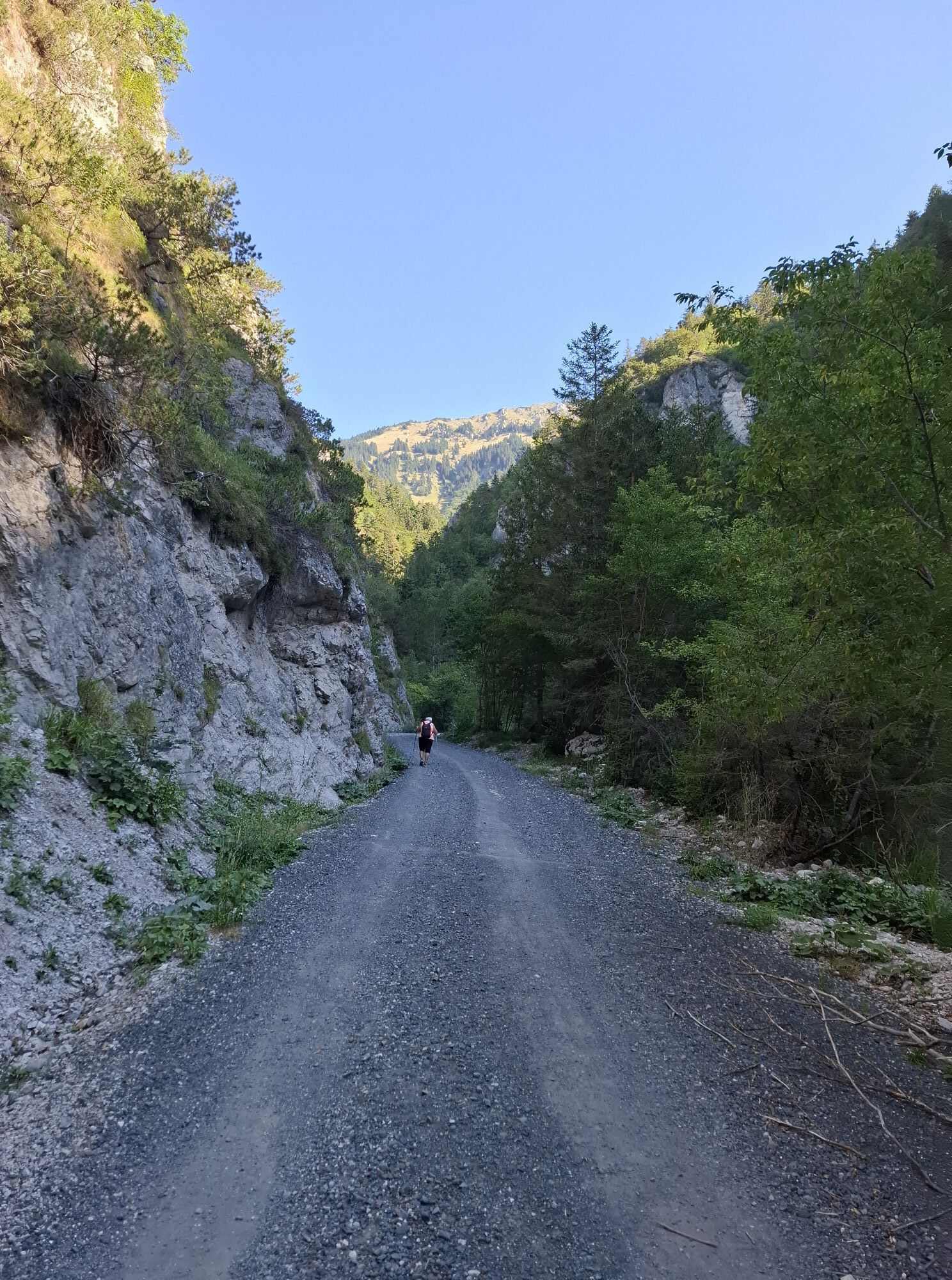
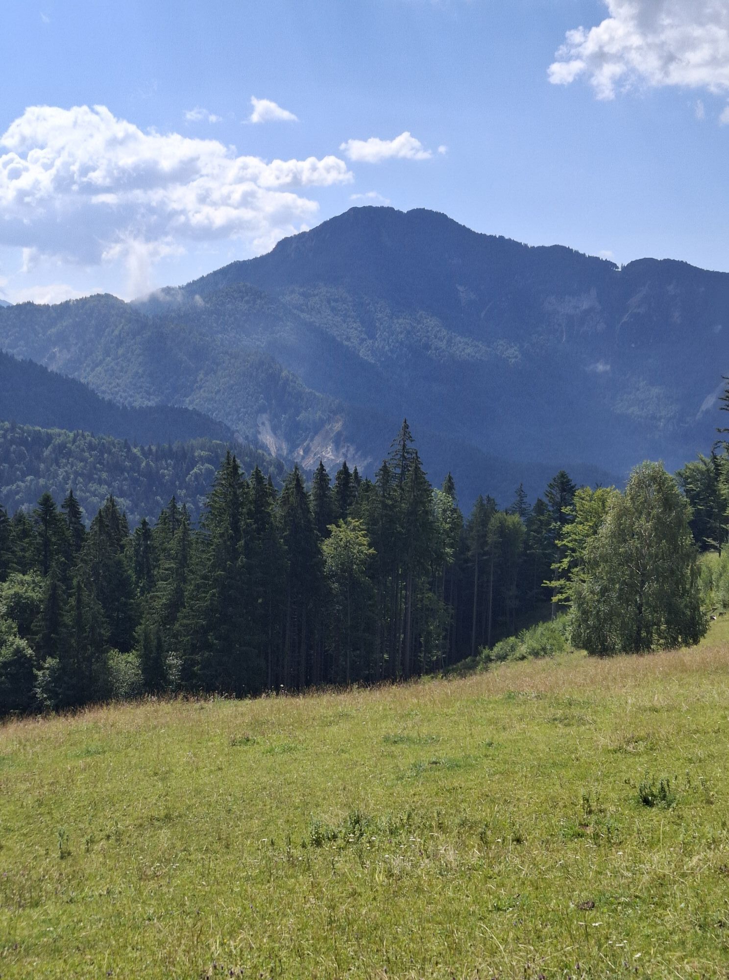
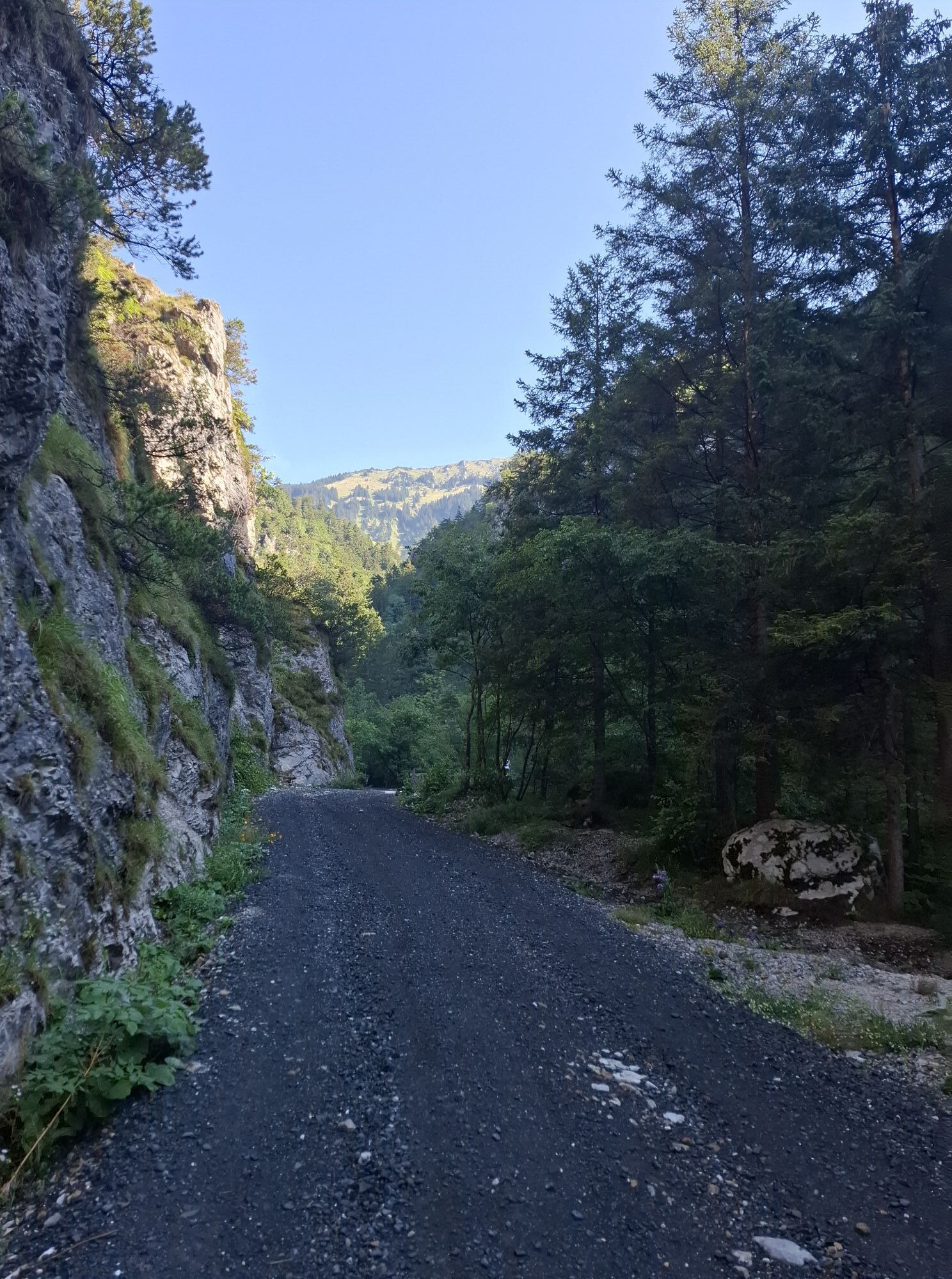
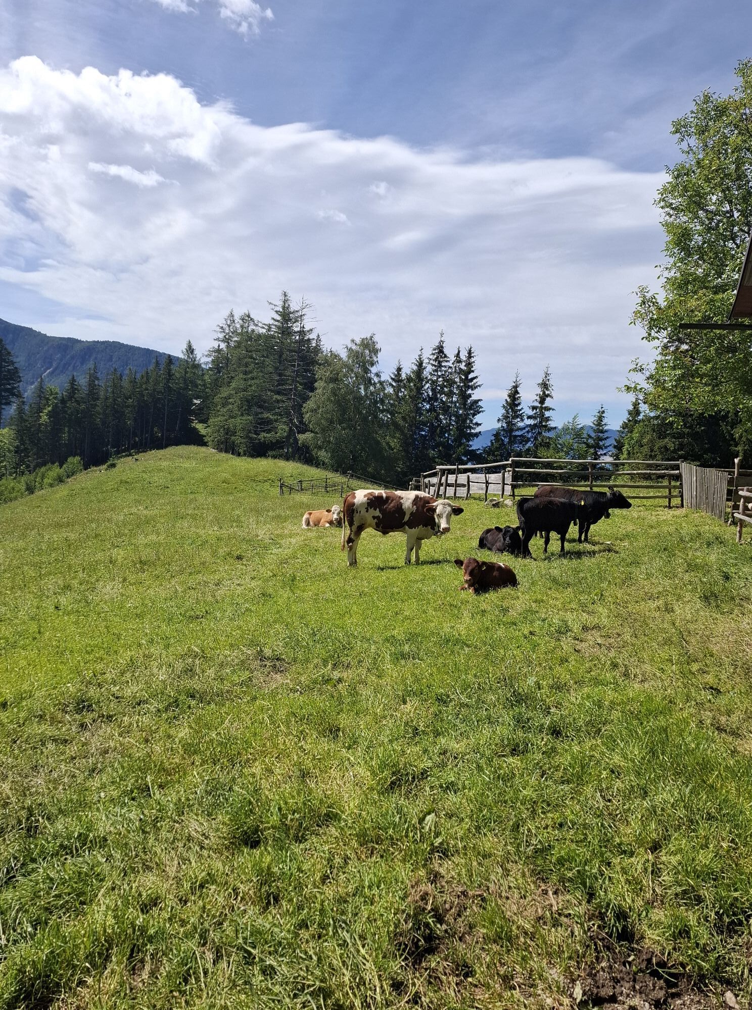
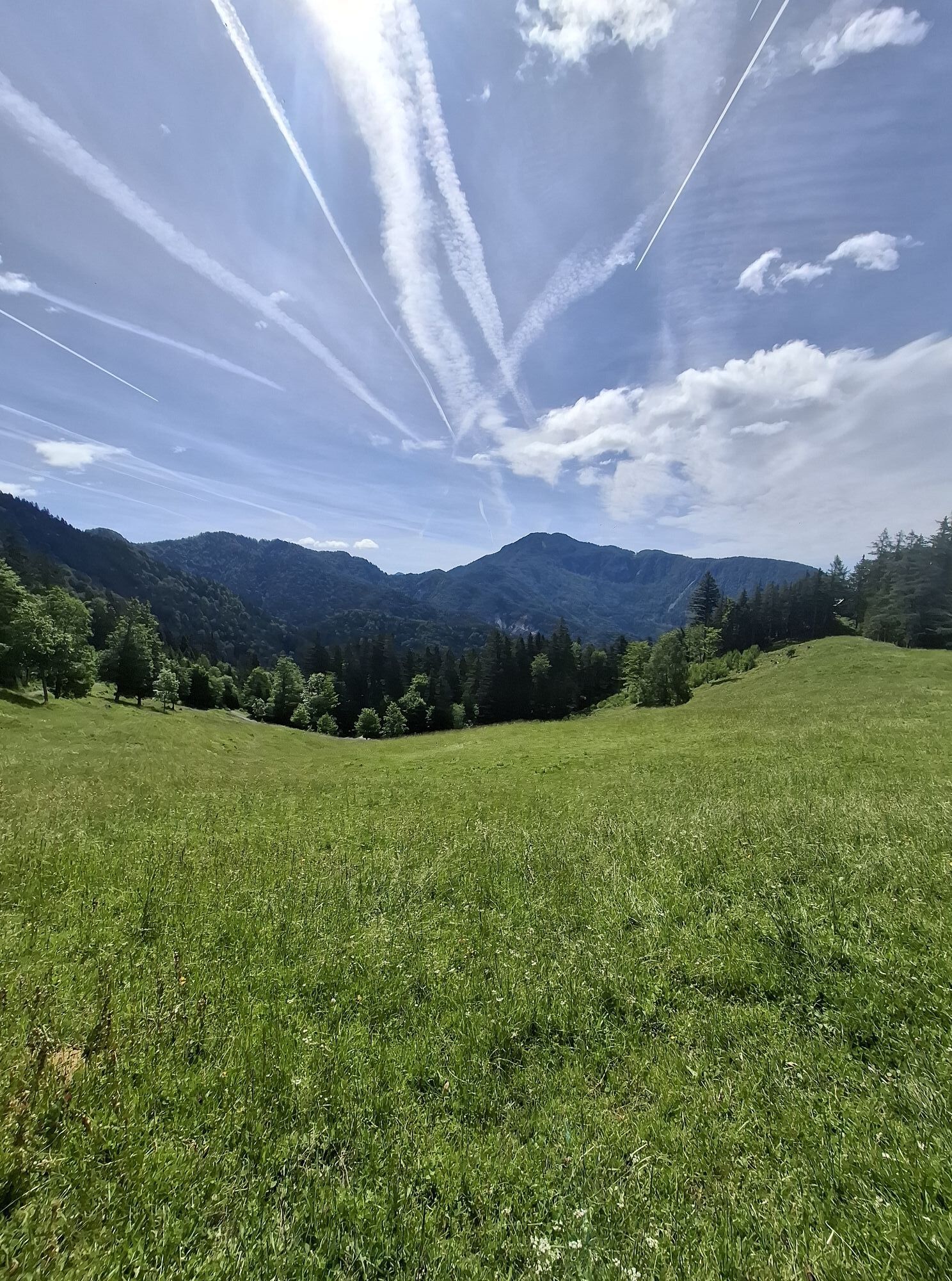
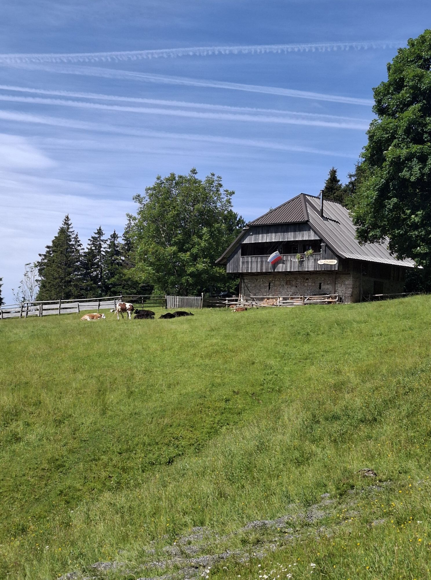
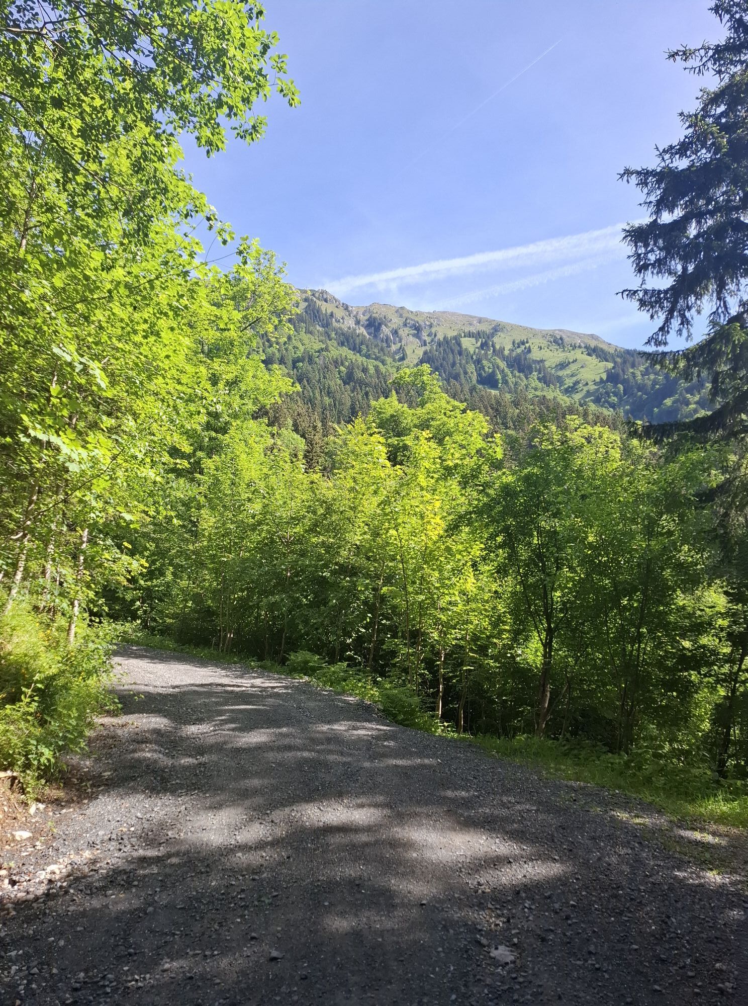
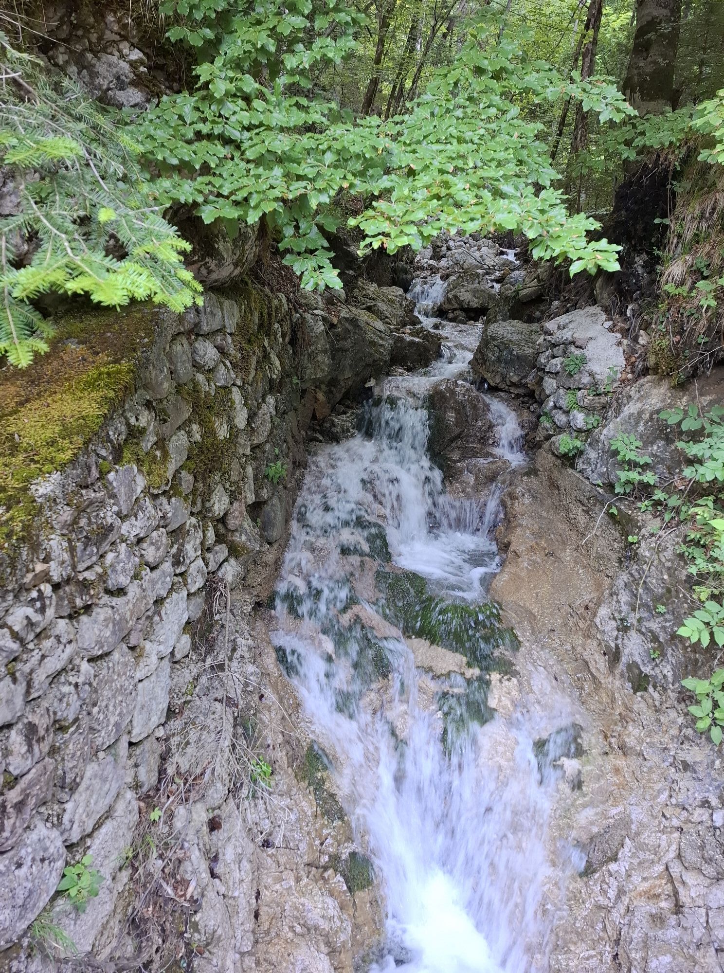
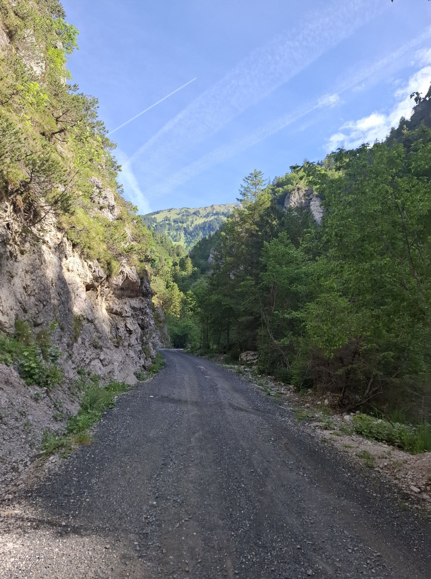
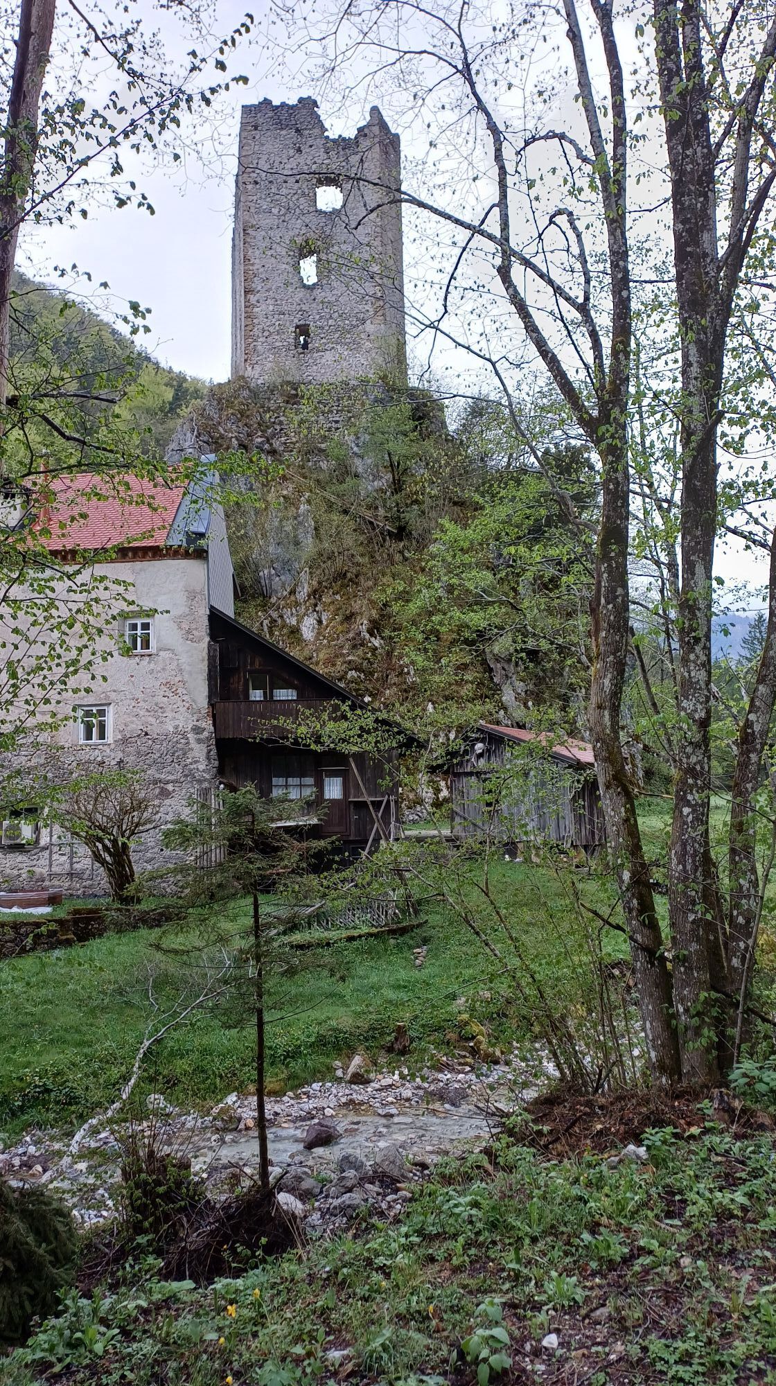
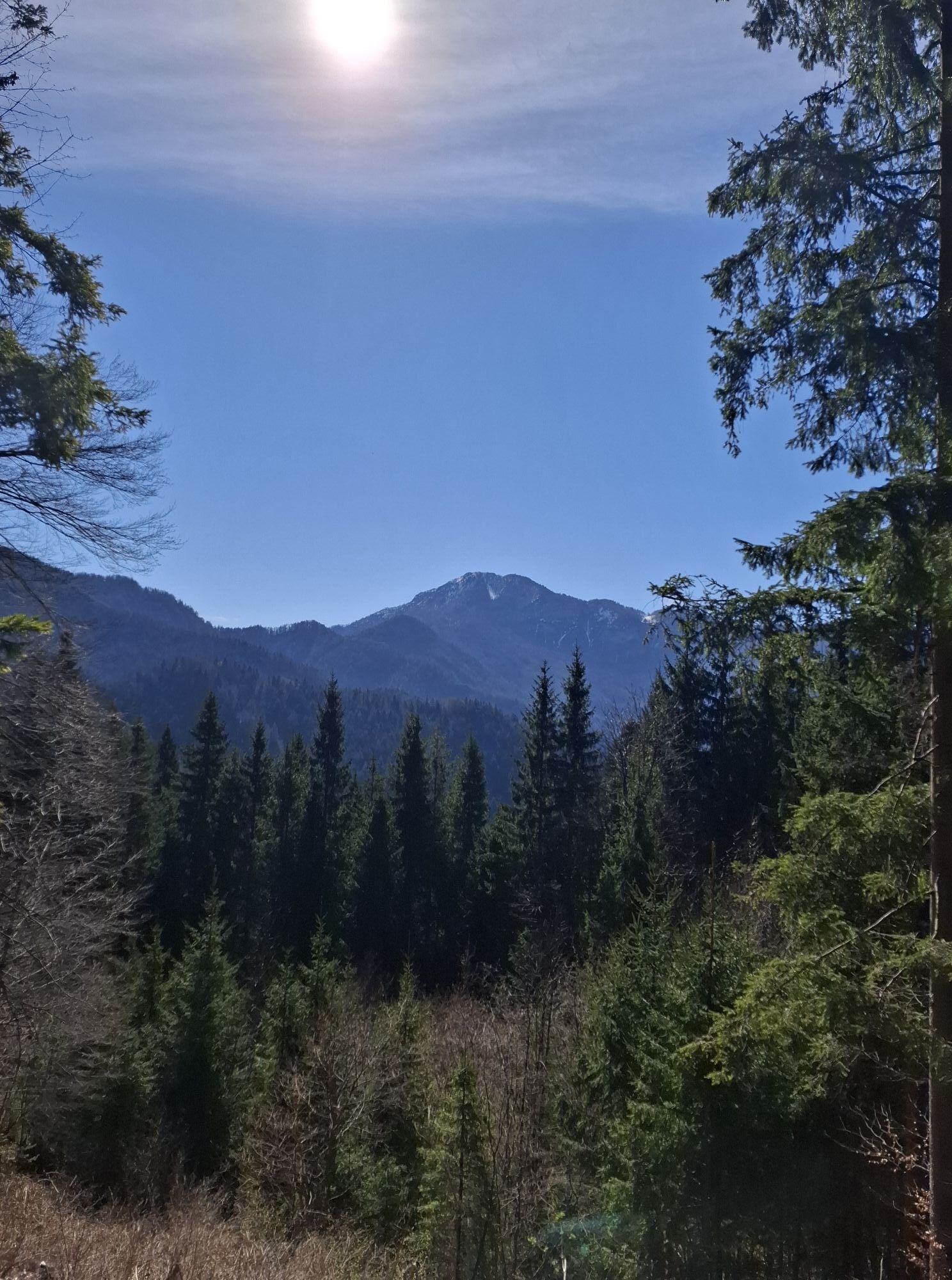
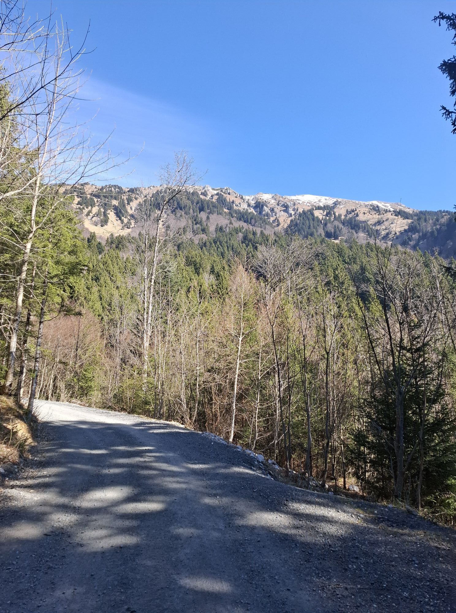
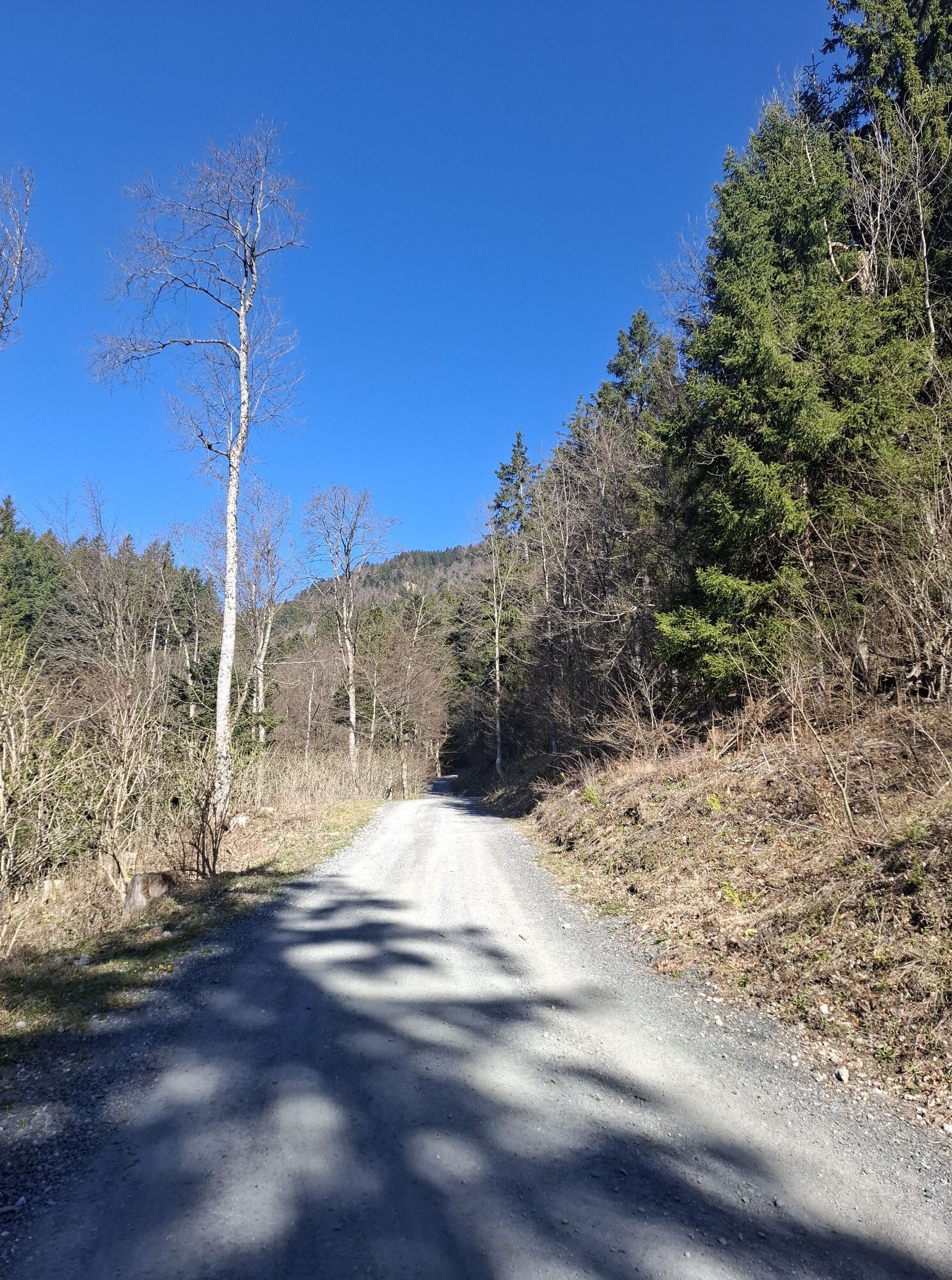
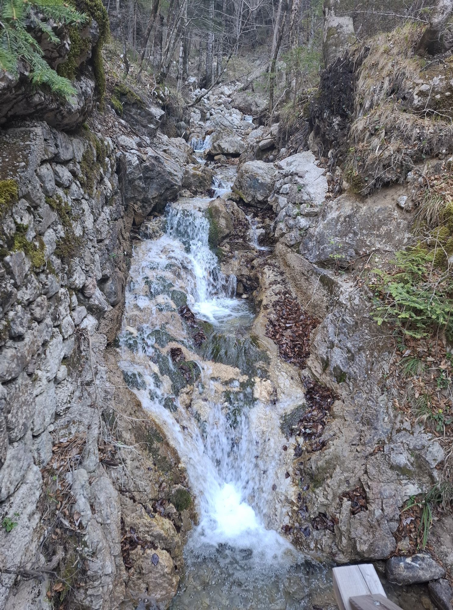
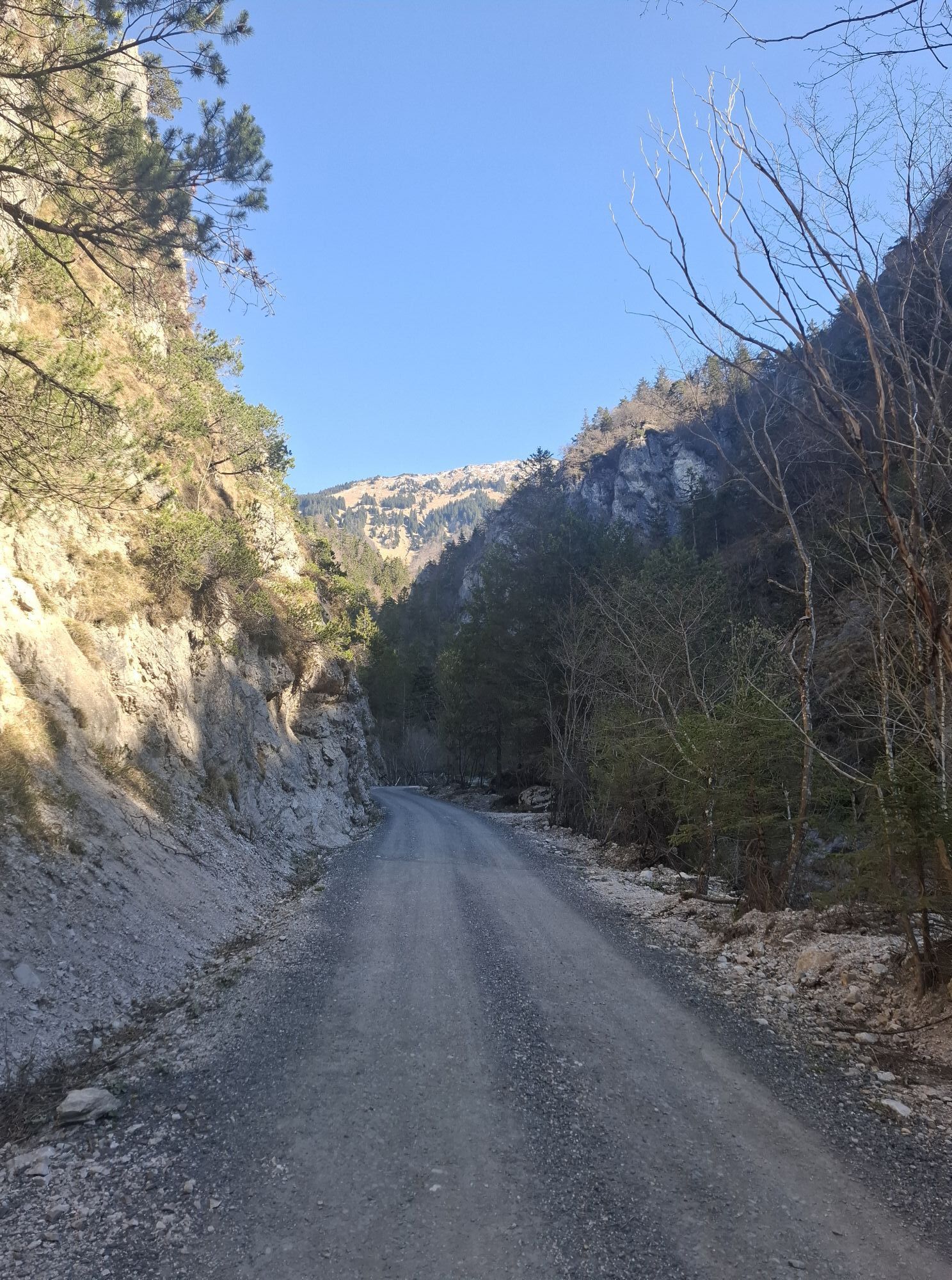
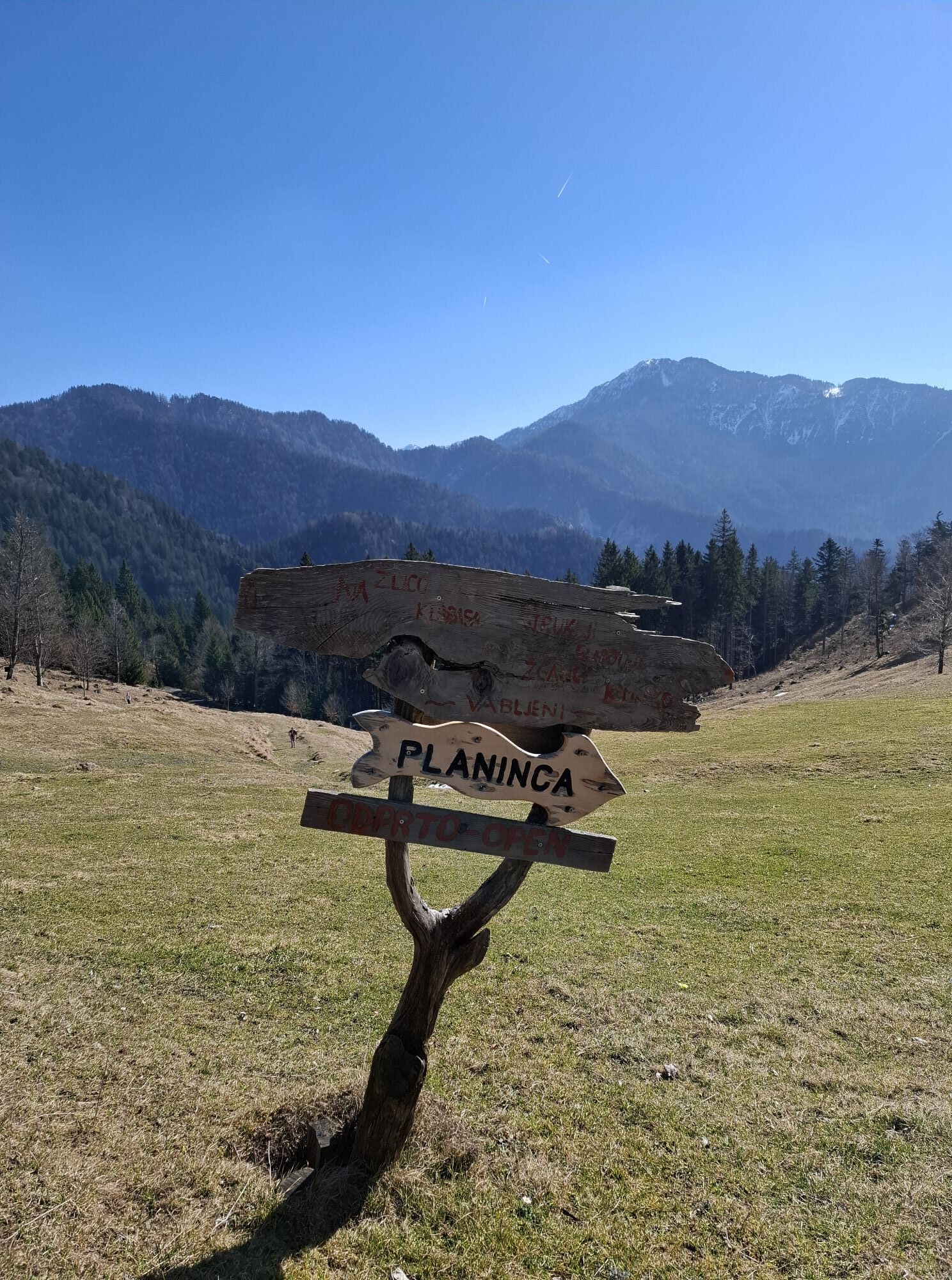
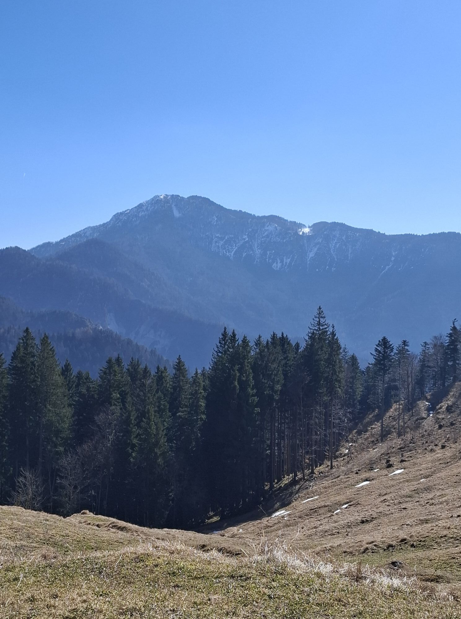
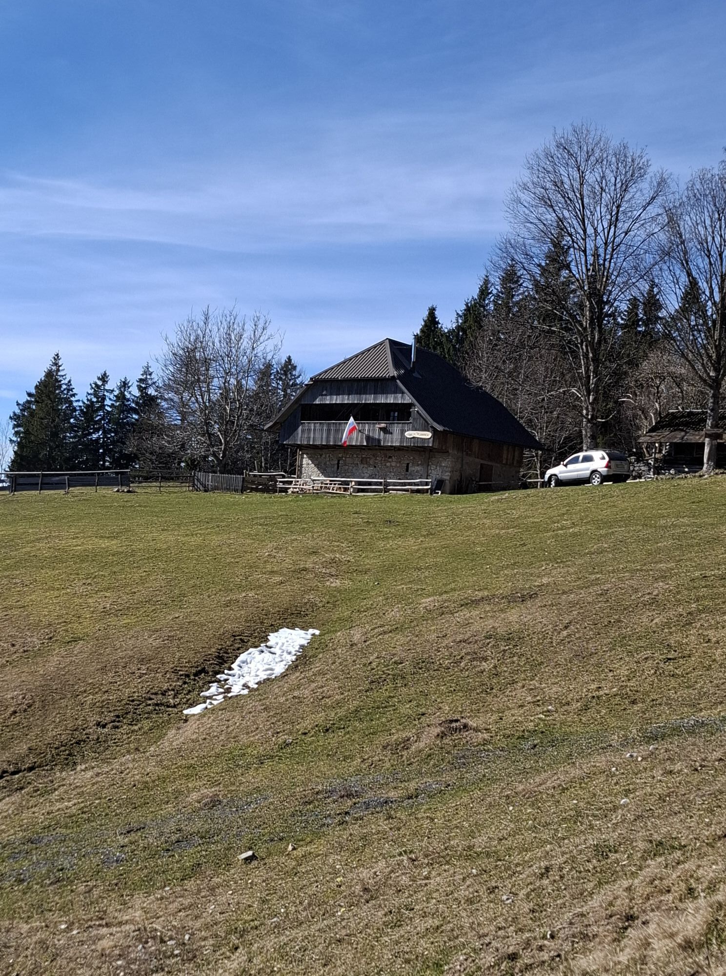
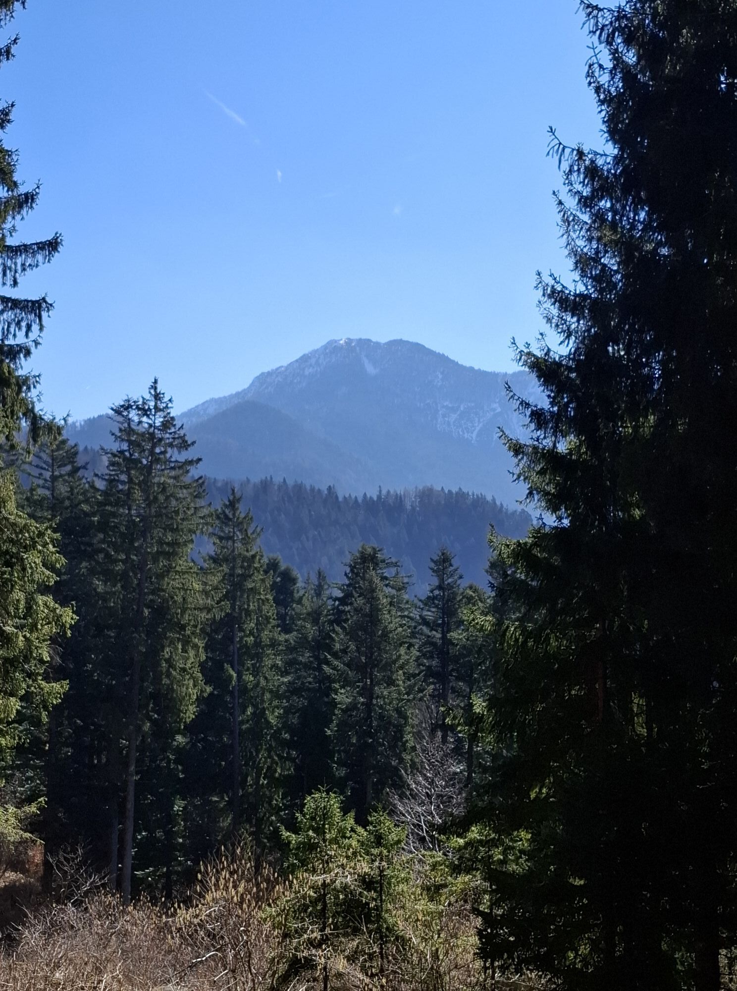
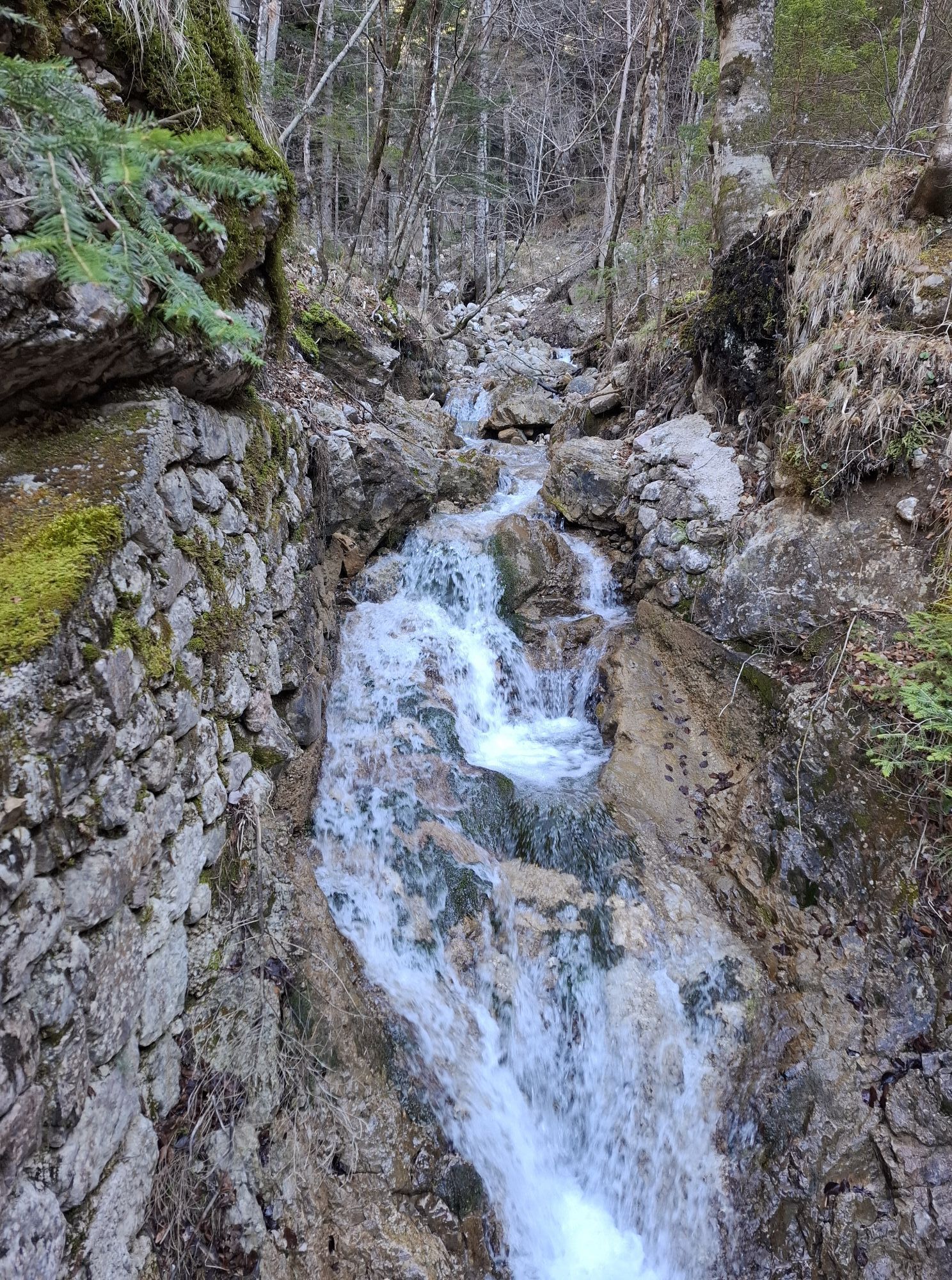
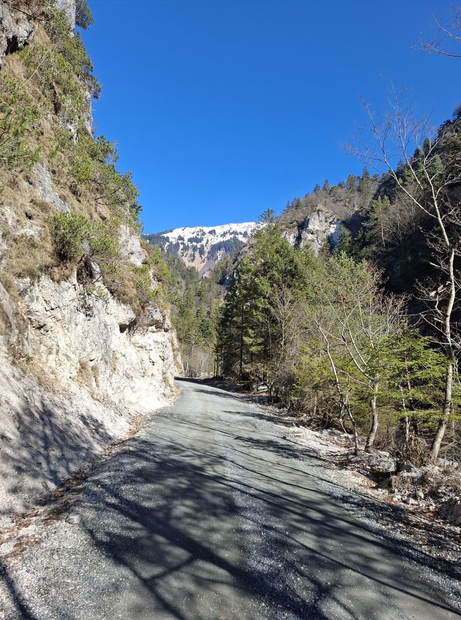
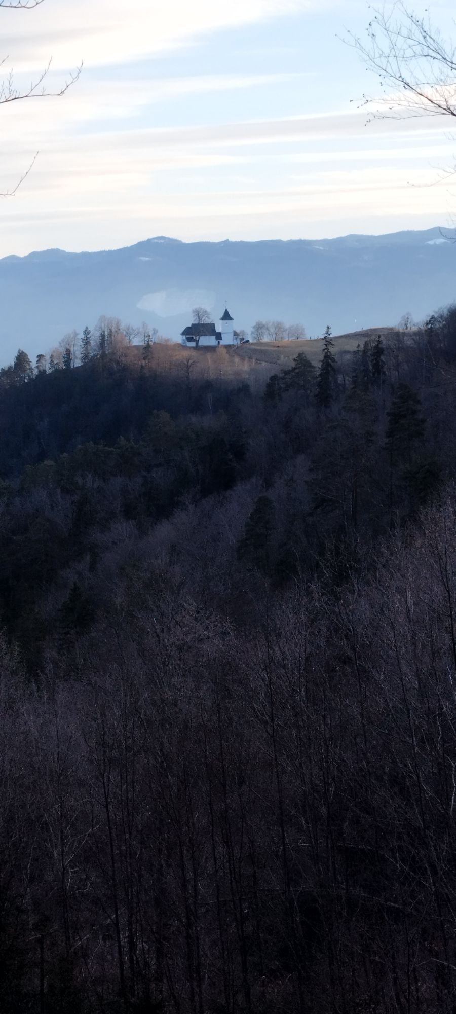

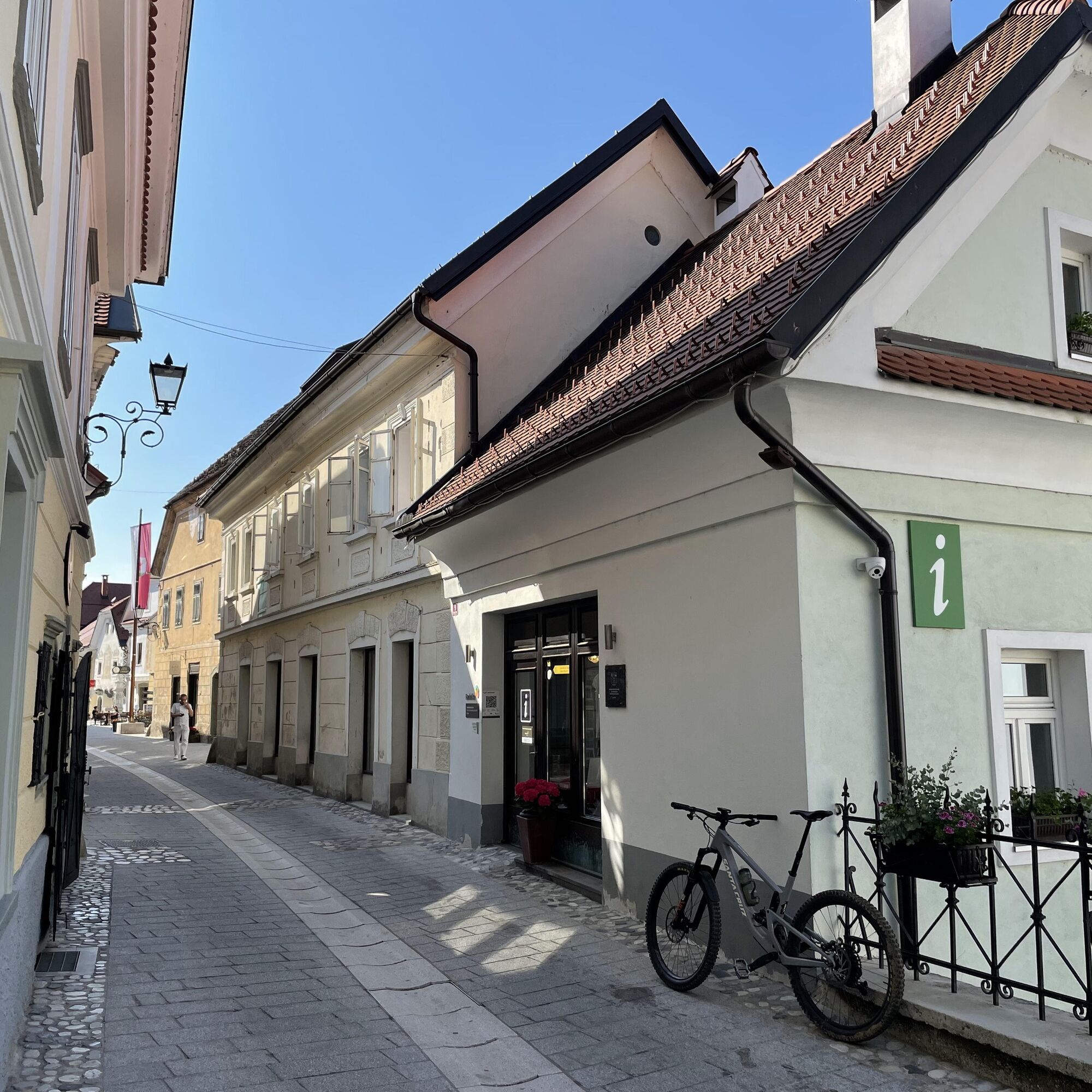
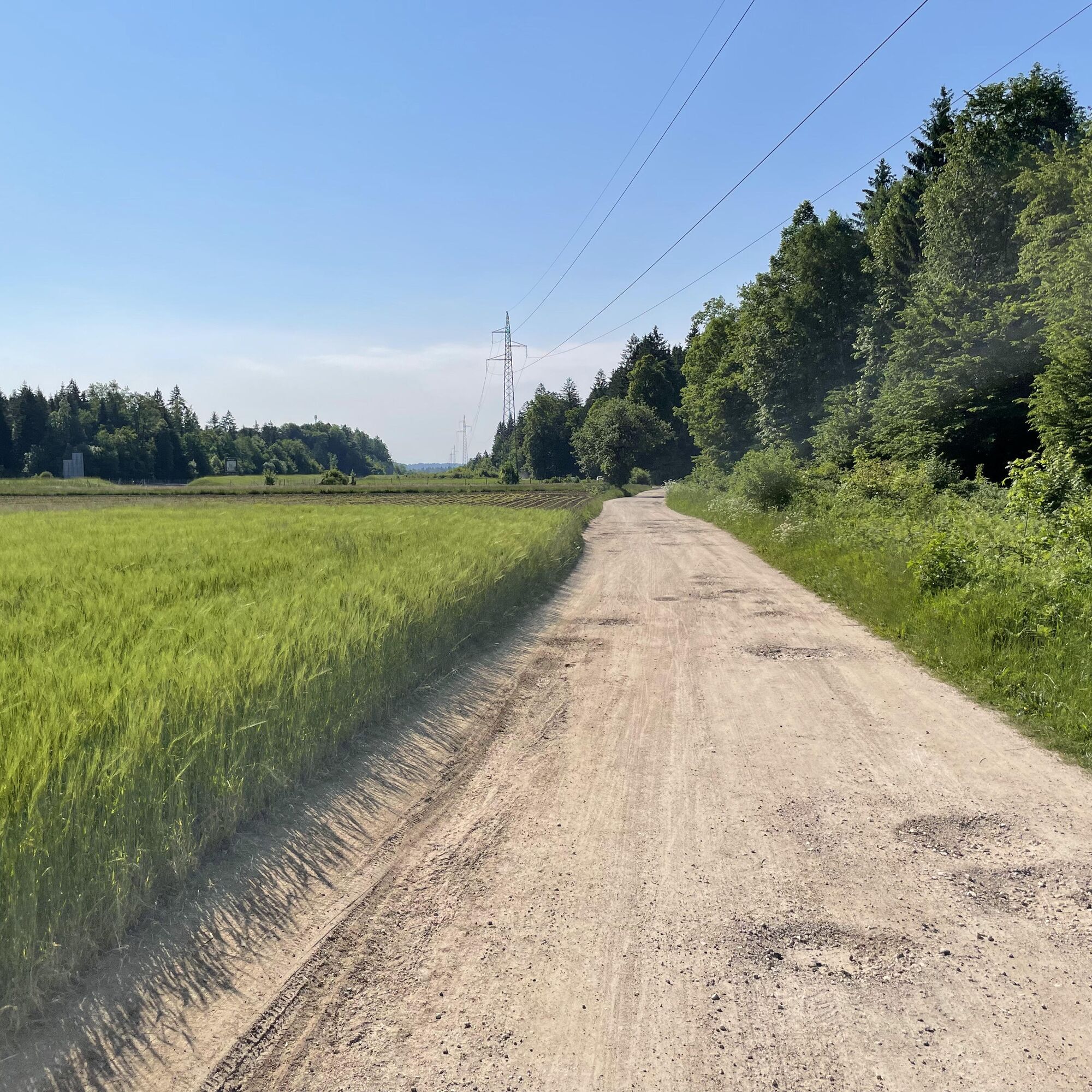
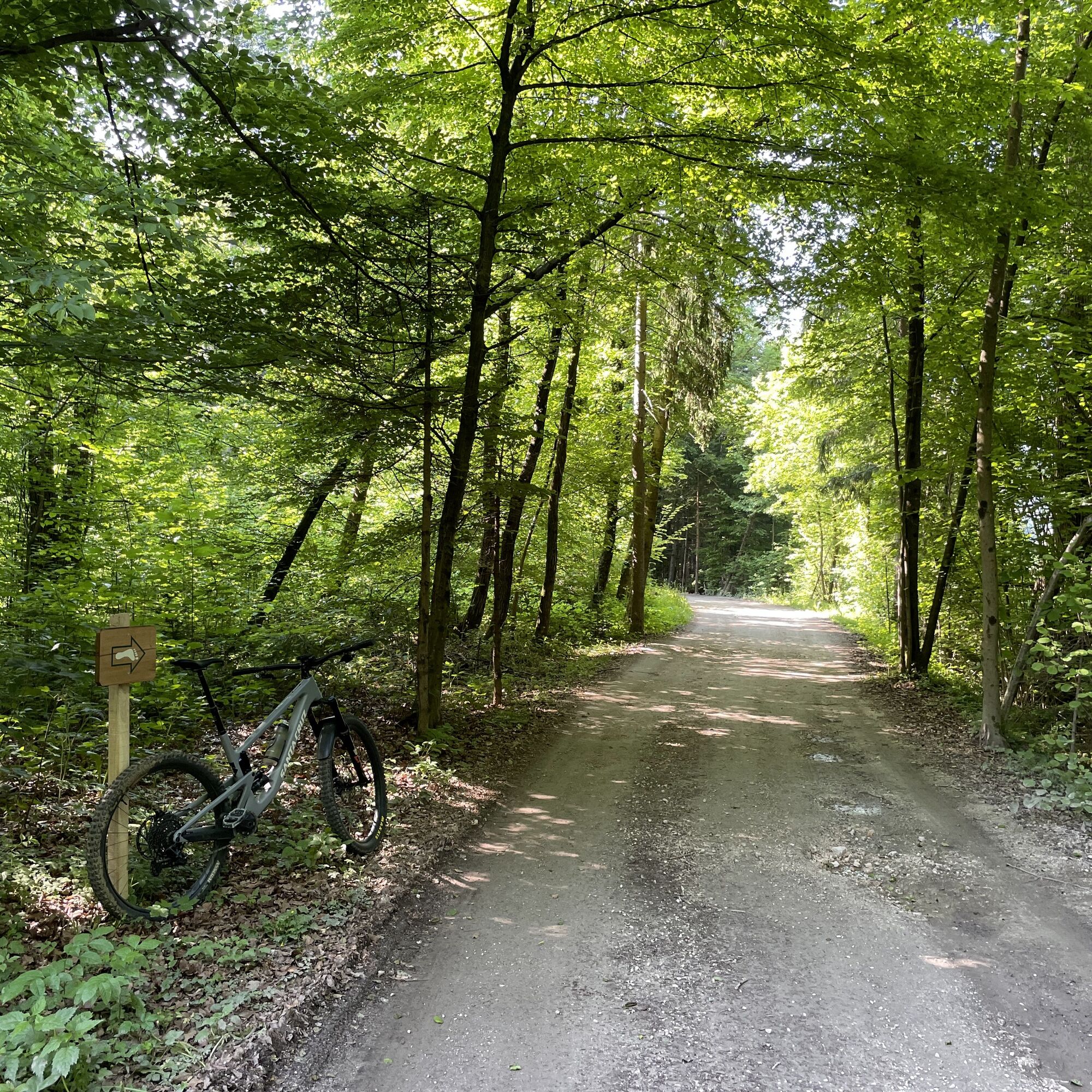

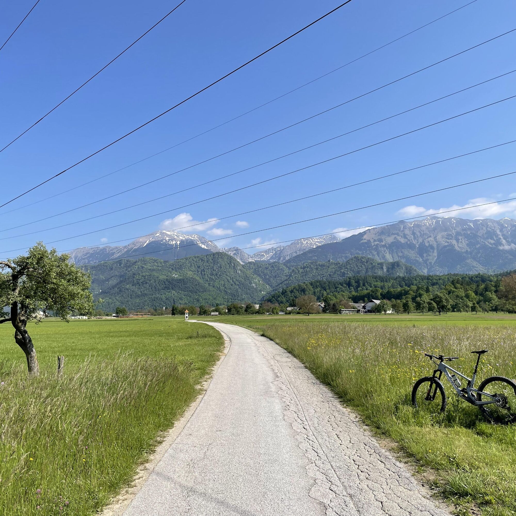
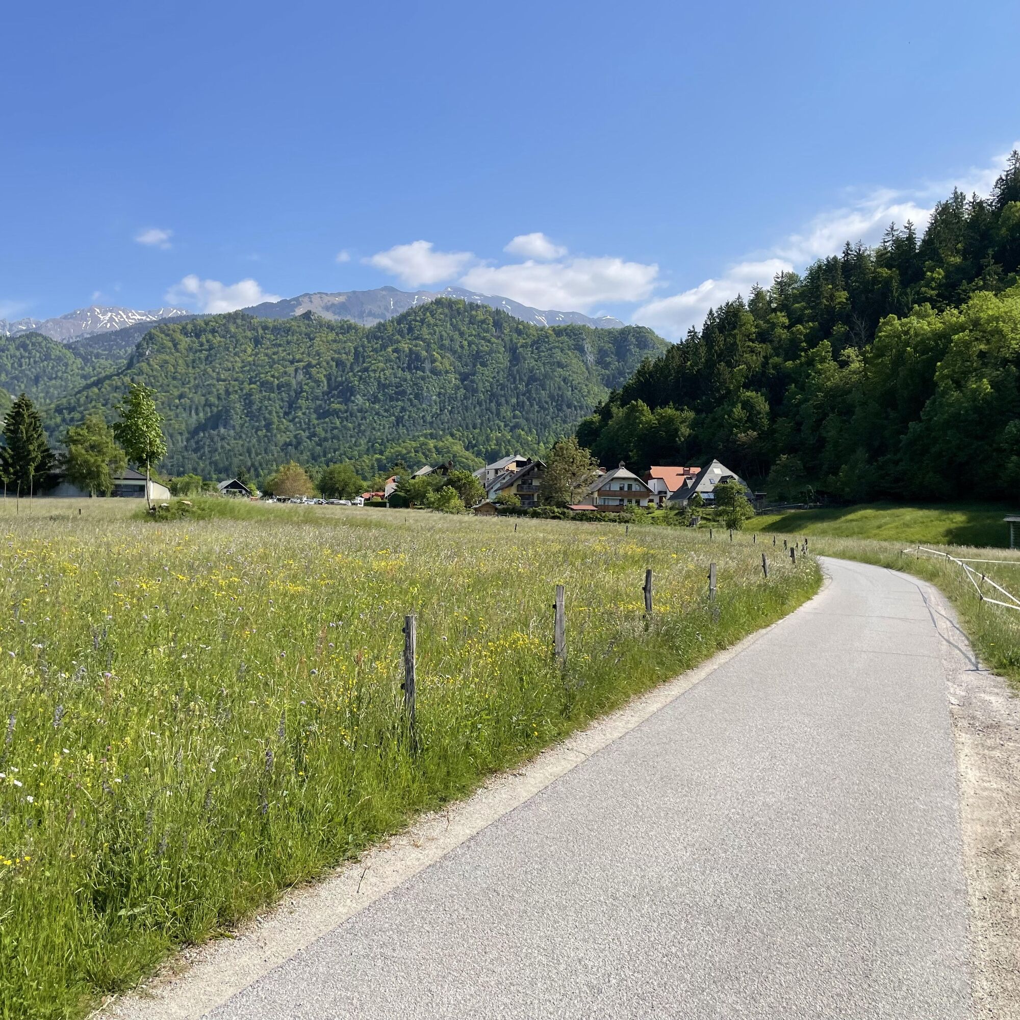
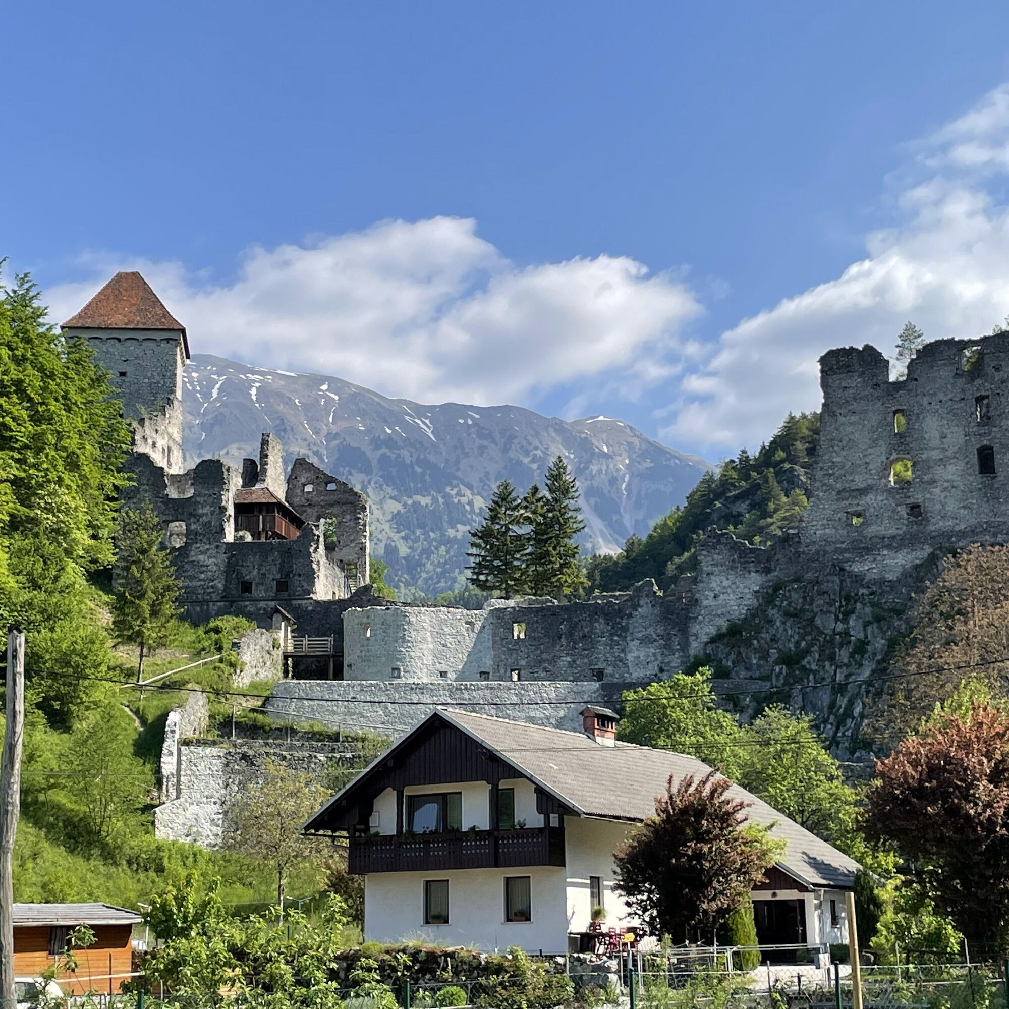
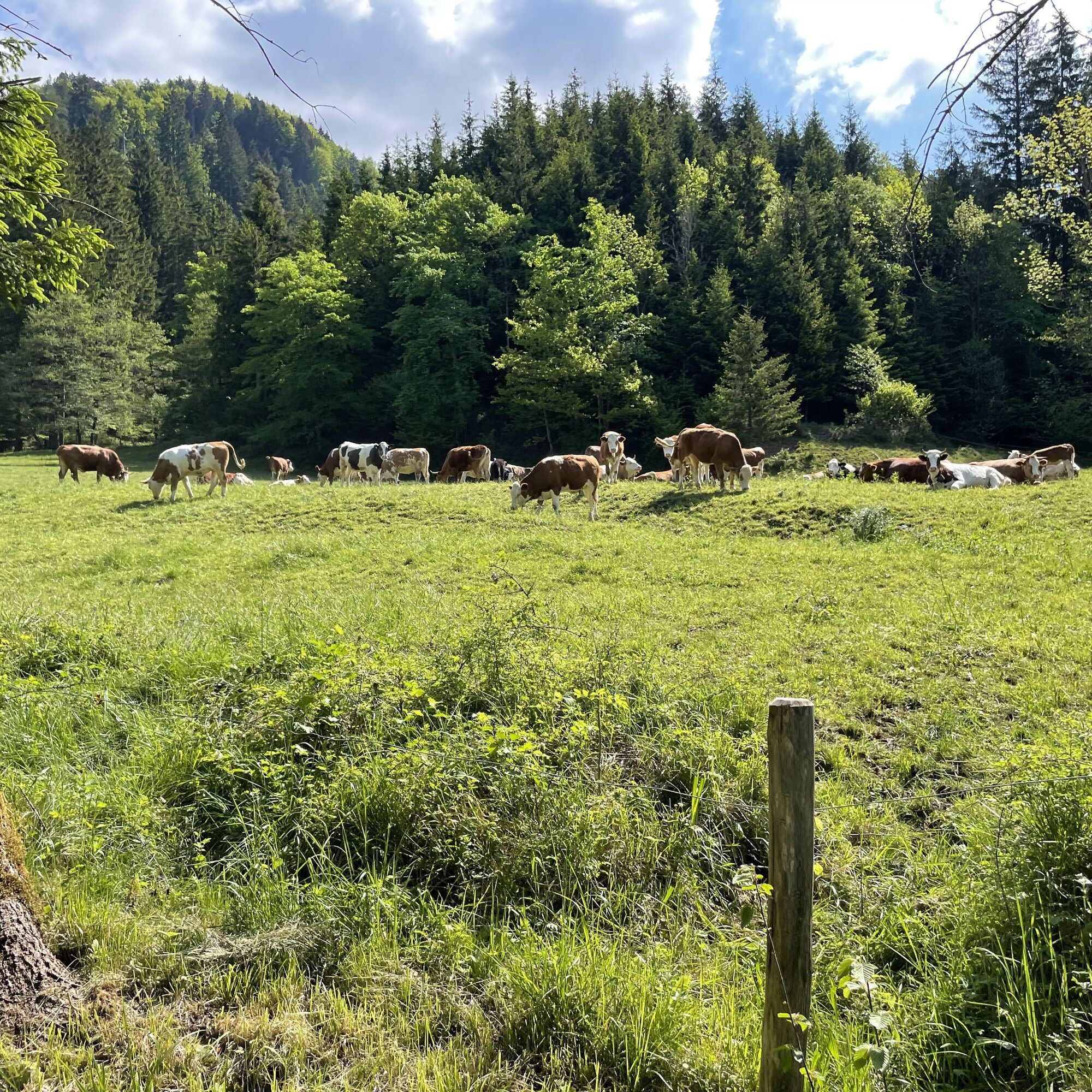
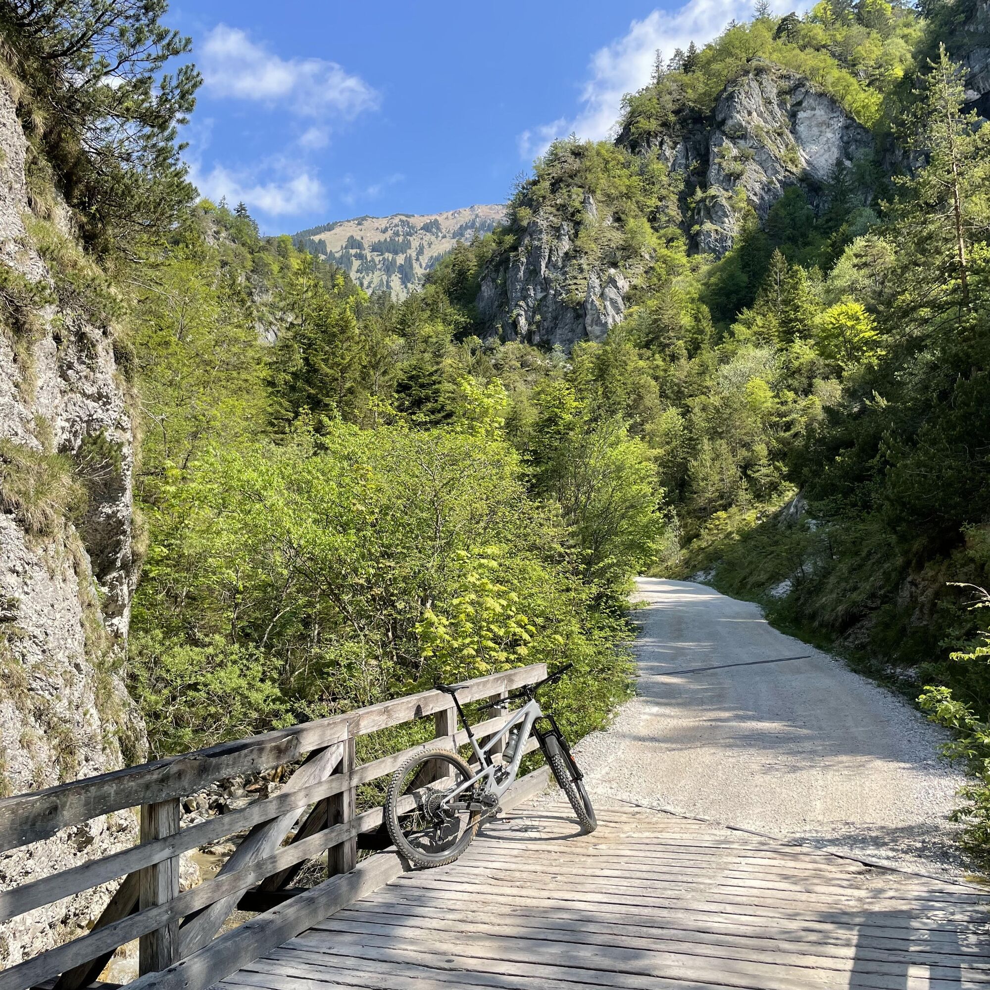
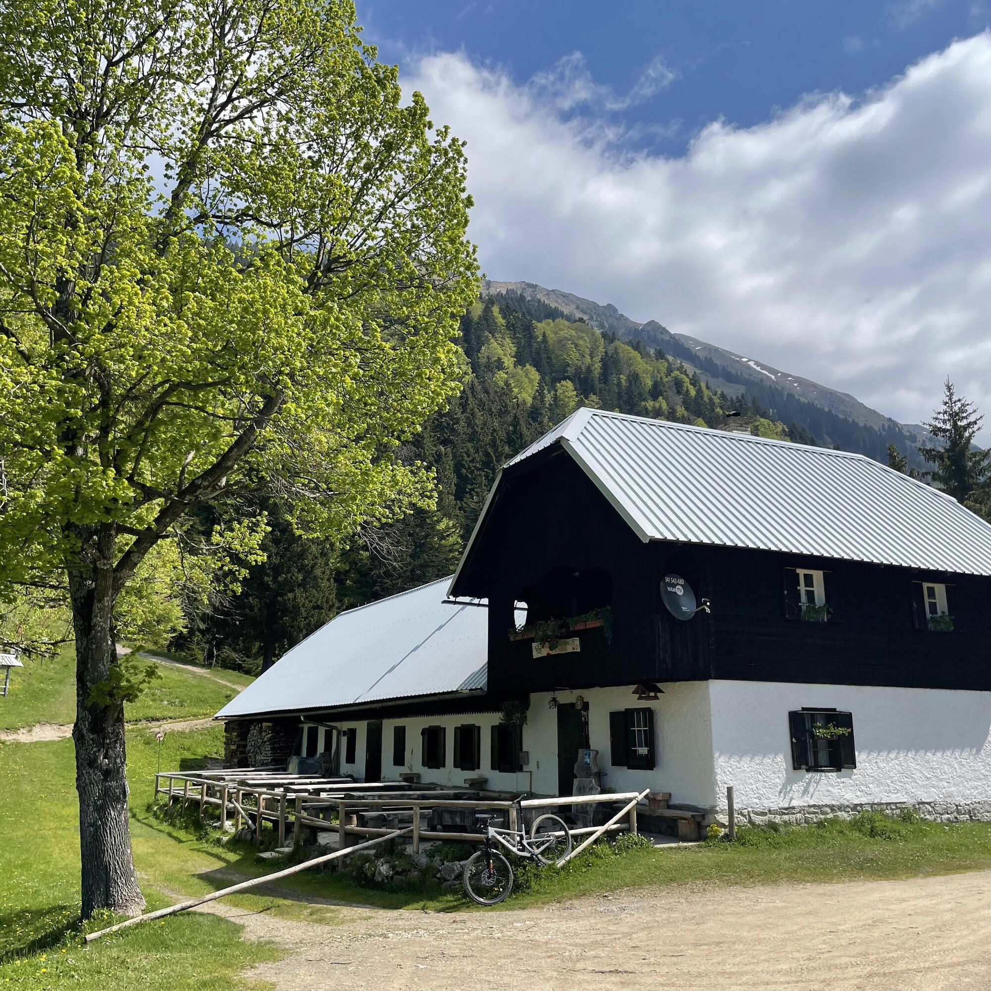
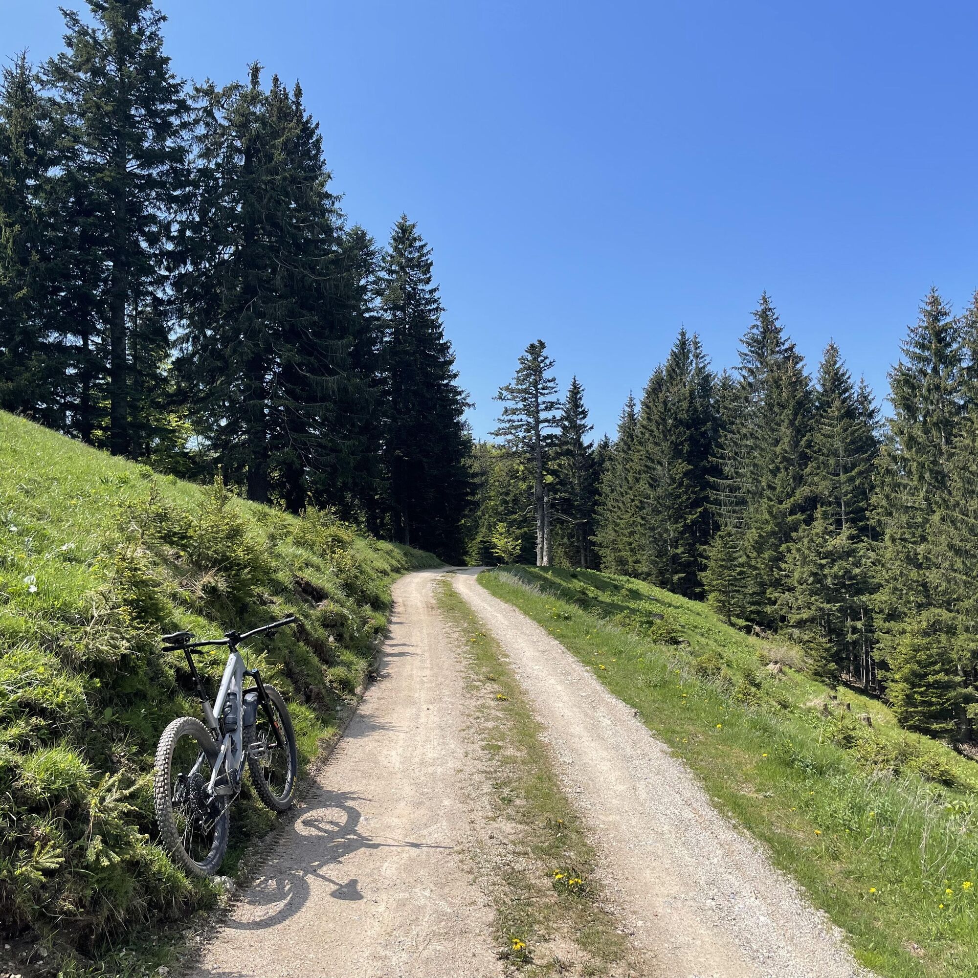
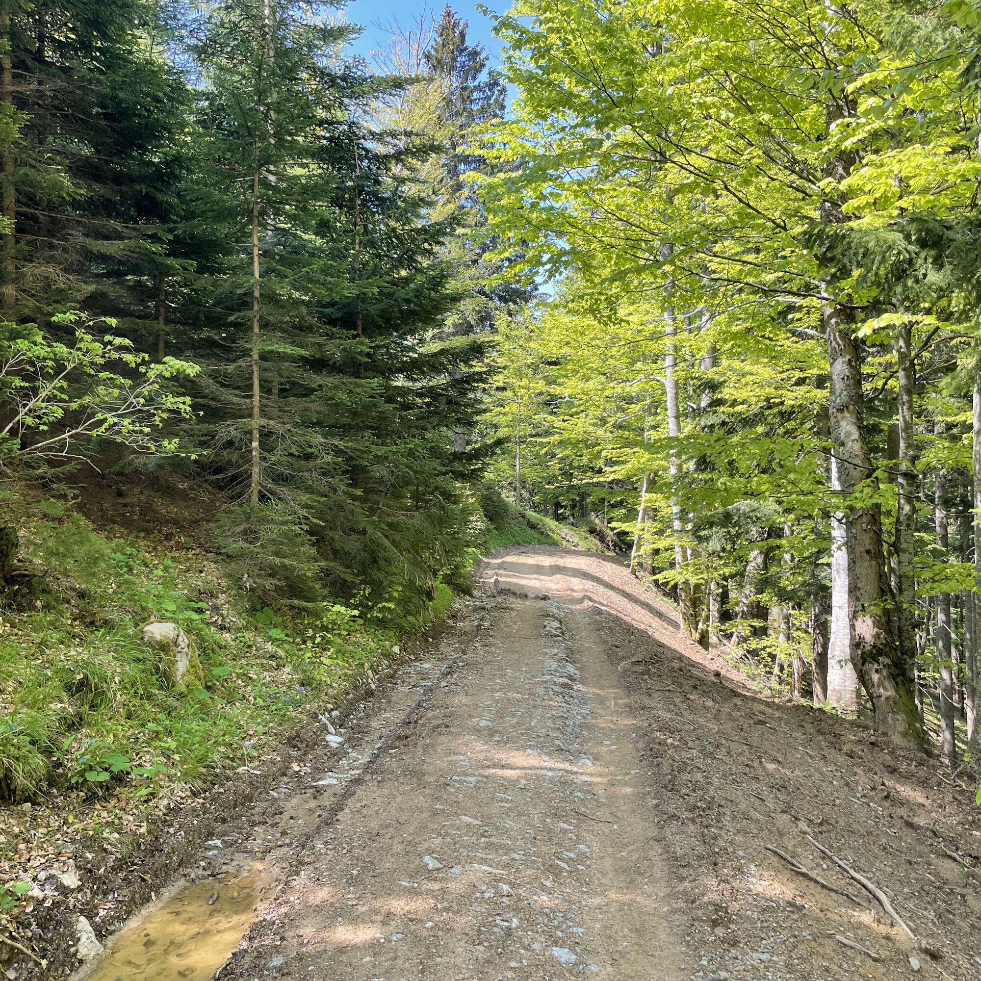
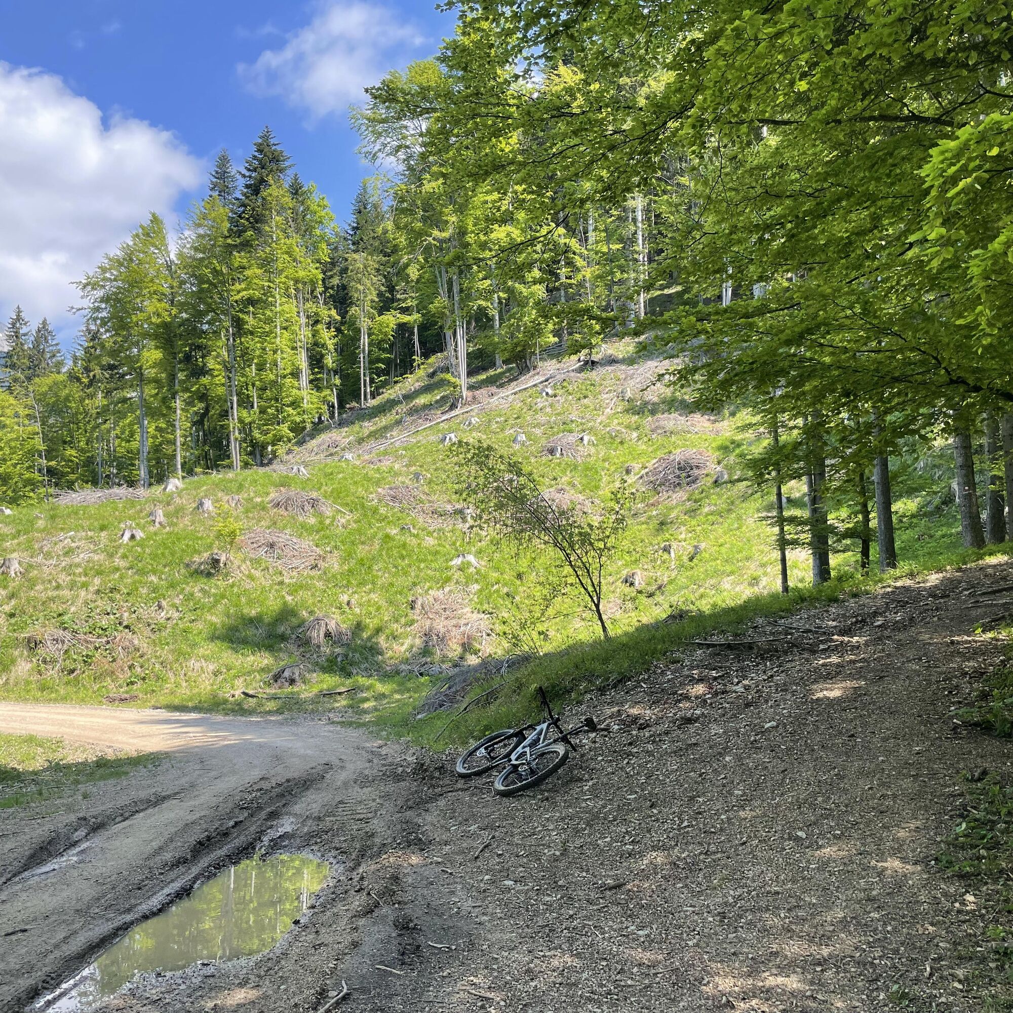
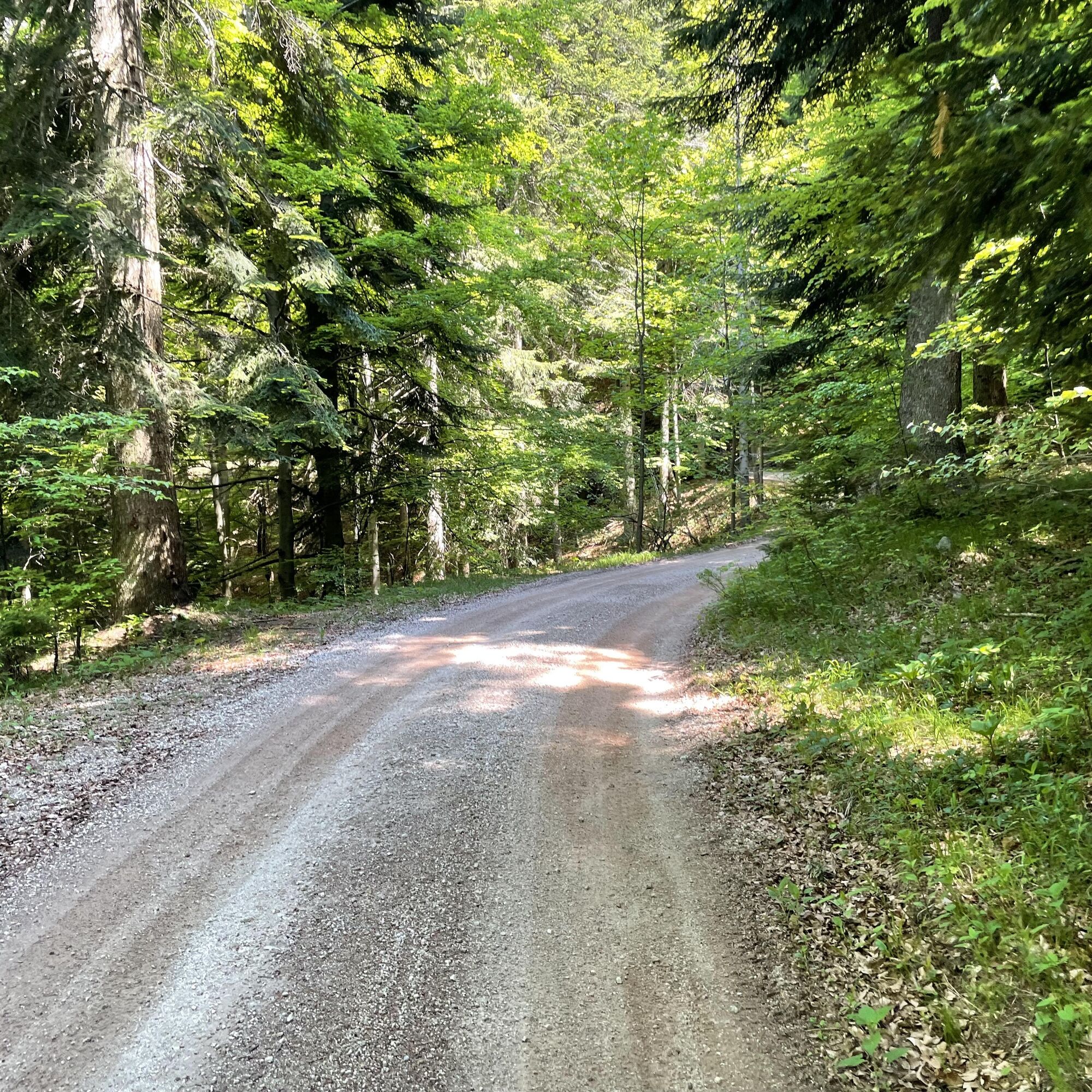
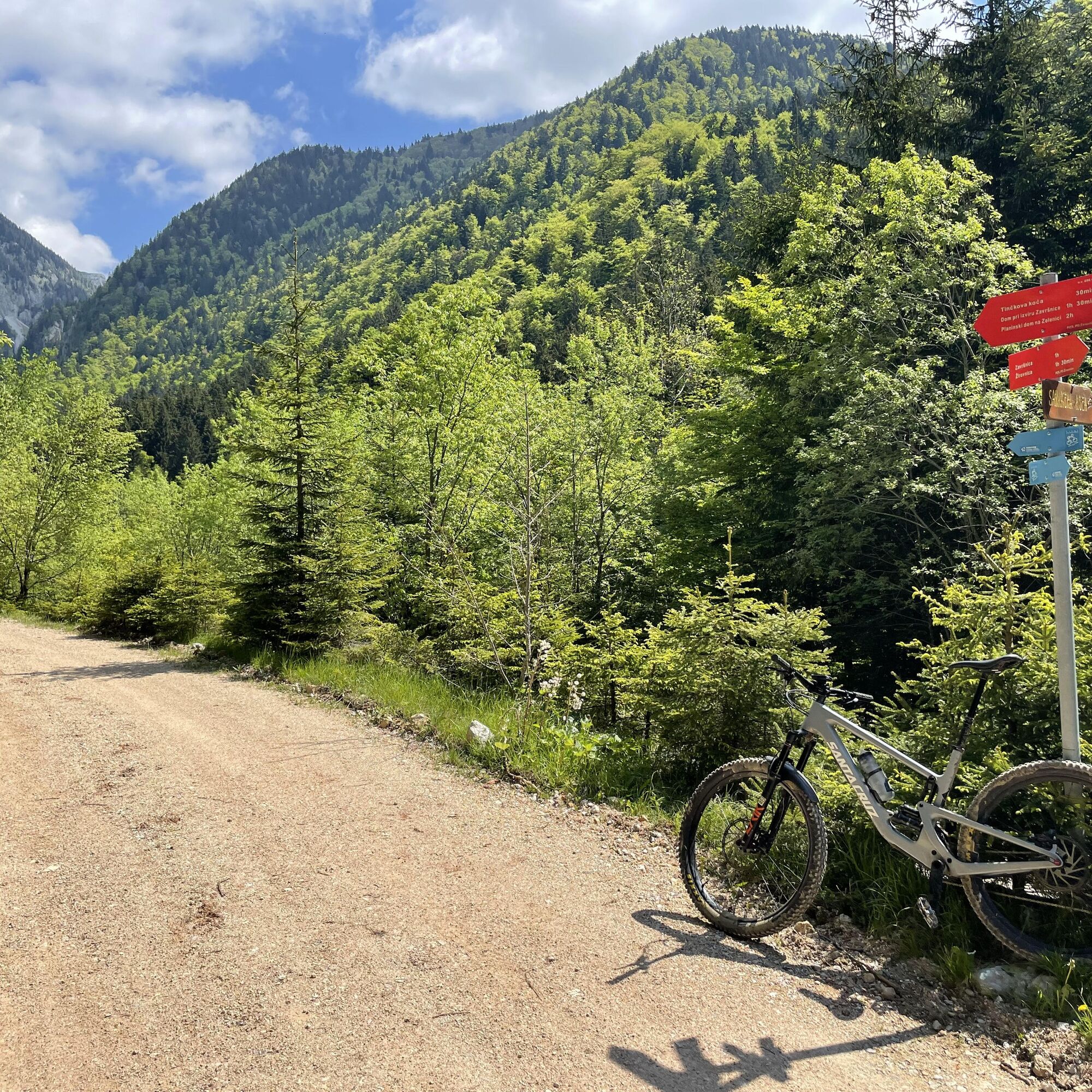

From TIC Radovljica, set out for the picturesque Linhart Square. Between the Lectar inn and the VidiÄev courtyard, a street branches off to the left leading to the former town walls with a wonderful view of the Karavanke and BegunjšÄica. Turn left and continue along a low wall towards the town park. Before the park, the road branches right and quickly descends steeply down to old farmhouses. Continue right and downwards, then quickly back up to a wider road where you turn right. Cycle along the main road past roadside farms on the left side of the village. Stay on the main road as it begins to curve left. At the crossroads, continue straight towards the electrical substation and further in the direction of the motorway, past the petrol station. The road turns into a gravel field path. Continue towards the forest, past the Radovljica Forest Educational Trail, and down towards a smaller stream. This is the Zgoša stream (also known as BegunjšÄica upstream), which you will later follow almost to its source. Stay on the road passing a smaller shooting range. Cycle along the motorway southeast on the paved road.
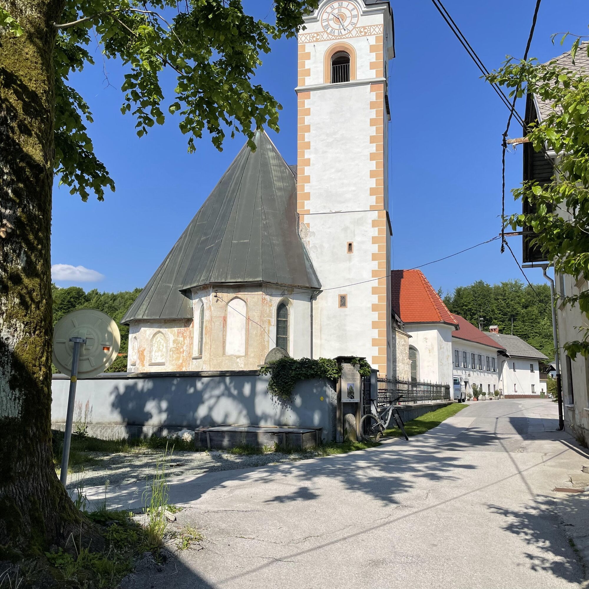
At the motorway underpass (bike rest area on the opposite side of the road), turn left and cycle north toward the village of Mošnje. Ignore the first road that turns right in the village. Turn right at the second junction. This route will bring you to a quiet street and a small village square with an old church, village museum, and a large linden tree. Rejoin the main village road and continue cycling north past the Podvin mansion and the Vila Podvin restaurant, awarded a Michelin star.
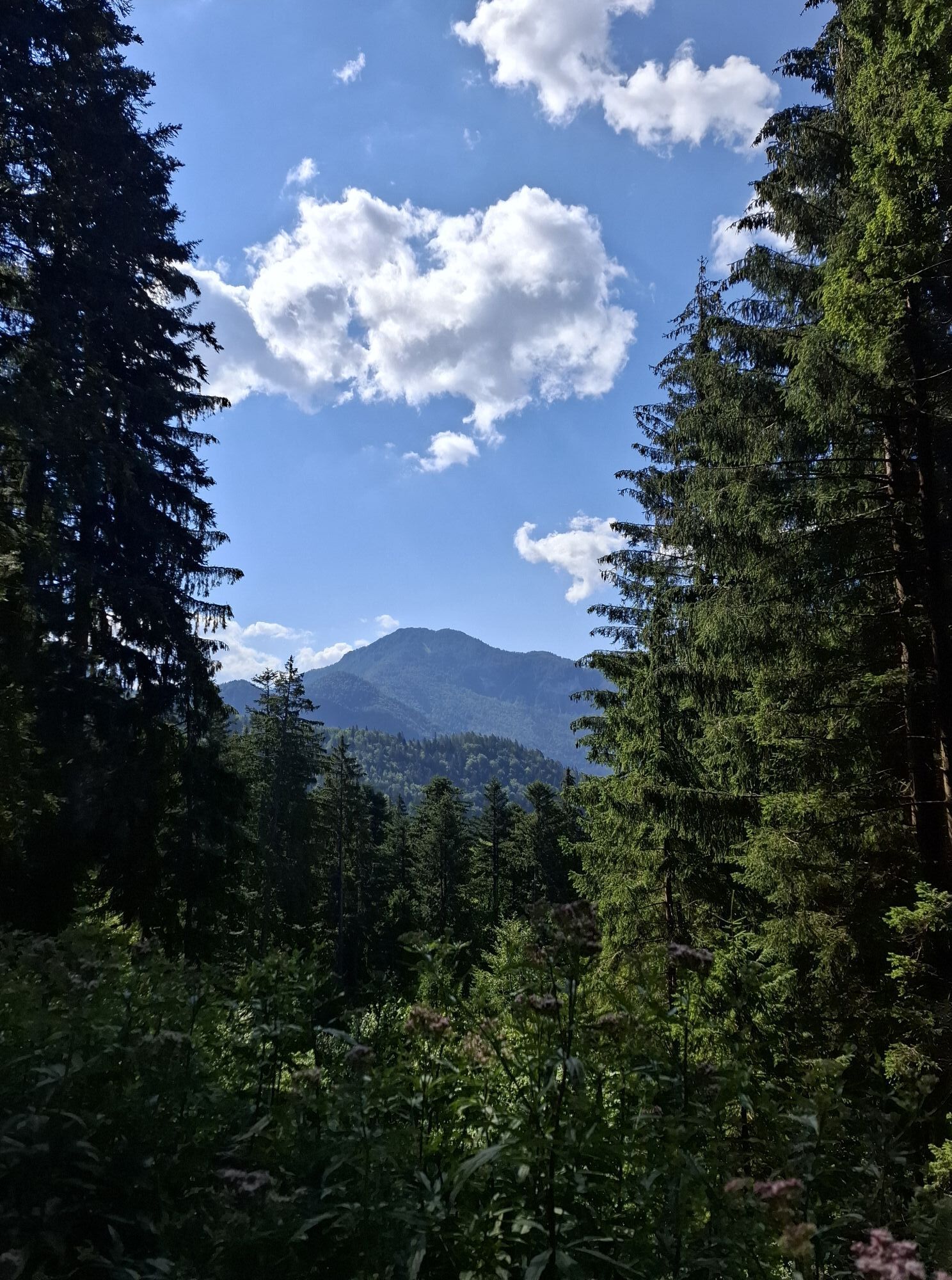
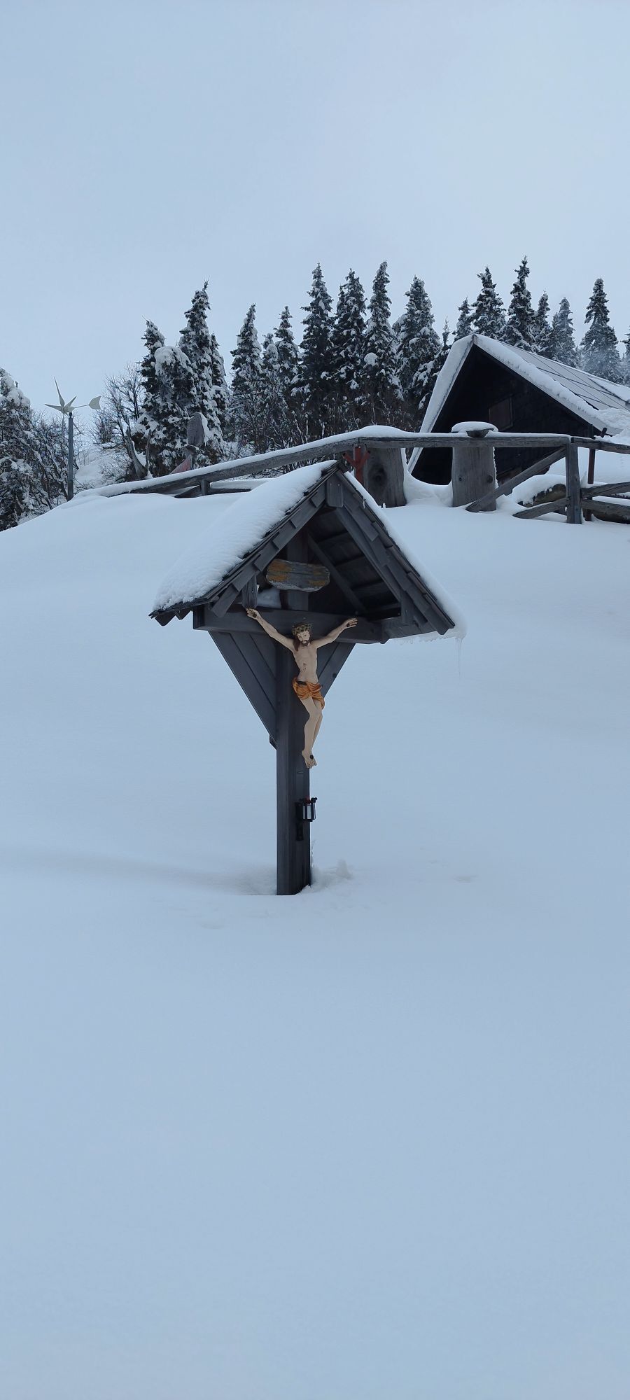
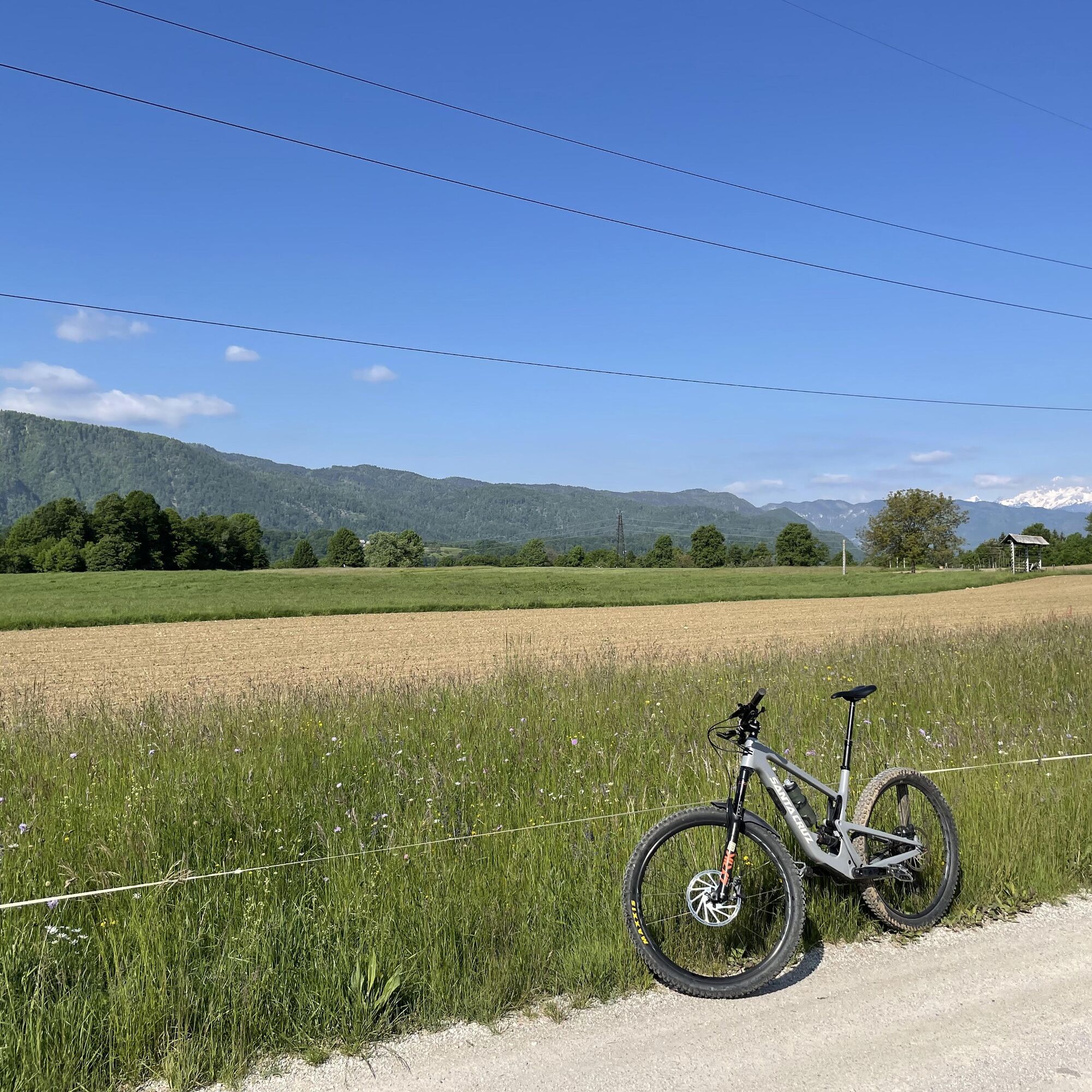
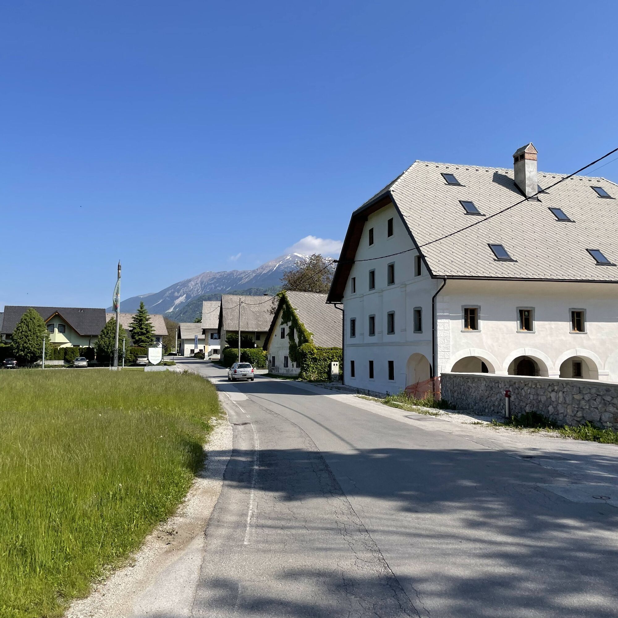
Soon you will reach a traffic light controlled intersection where you cross the main road and continue straight across the fields heading north. After 300 meters, turn right into the village of Spodnji Otok (the equestrian club is on the right side of the village). Upon reaching the center of this small village, if time allows, climb the stairs to the picturesque church of St. John the Baptist. From the village center, head west along a narrow path beside a farm. North of the village, you again reach the main road. Turn right and cycle along the main road toward the village of Zgornji Otok. Take a minute or two to admire the interesting architecture of old buildings, then continue to the northern end of the village. At a wooden crucifix, turn right onto a village street leading north across fields. The wide and open fields offer a beautiful panoramic view of the Karavanke and some of the goals of this cycling route (the church of St. Peter on the Mountain, alpine pastures on BegunjšÄica).
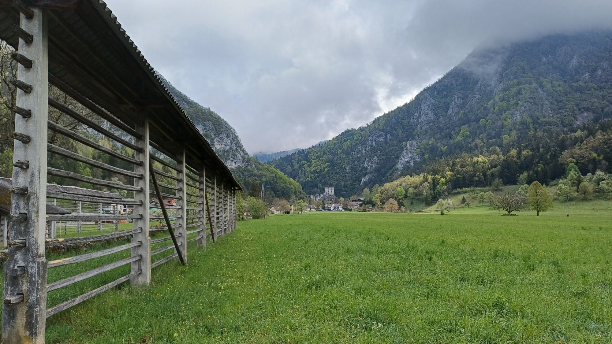
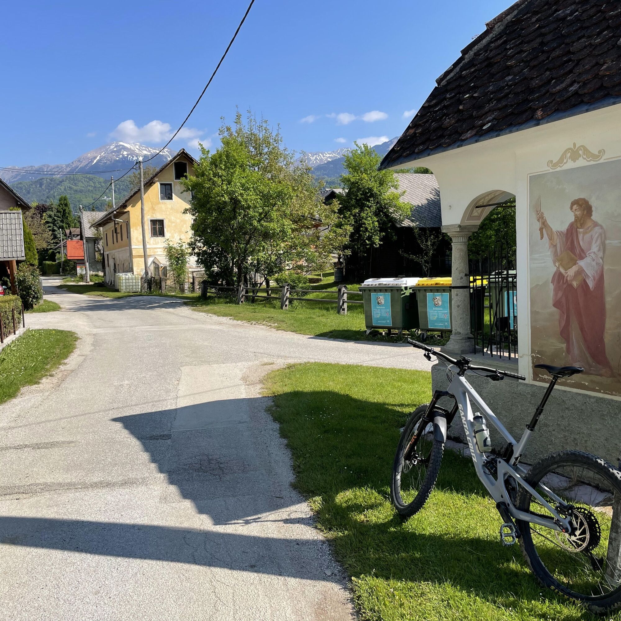
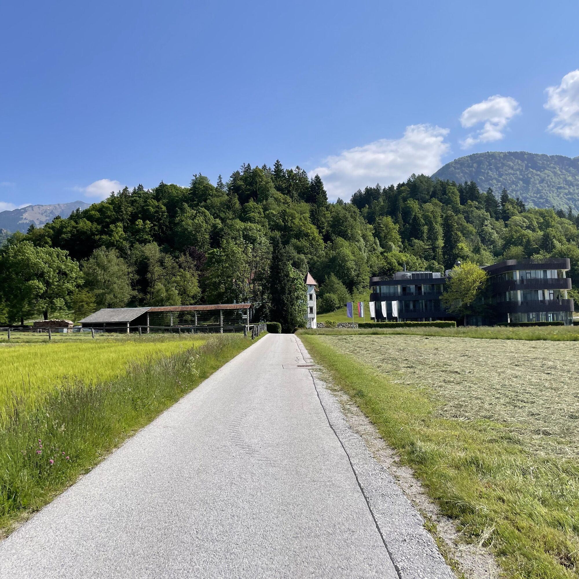
Cycle straight through Dvorska vas and at the fork near the chapel keep left. Then continue straight (north/northwest) past newer family houses. When you reach an open area, on the right you will see the modern Lambergh hotel and the Renaissance DrnÄa mansion. At the first crossroads, turn right and approach this beautifully restored jewel. Soon you will rejoin the original road at a crossroads with a wooden crucifix. Turn right and cycle along a picturesque path that leads you across fields to the north. At the next crossroads with a nicely painted chapel, continue straight on a gently ascending road (with splendid views of Triglav and the Julian Alps), past a newer residential area with family houses and blocks toward the northeast. The path first follows a smaller stream and then an old stone wall. At the intersection with a plague monument from the 18th century, continue straight toward the valley and magnificent castle ruins at the end of the village.
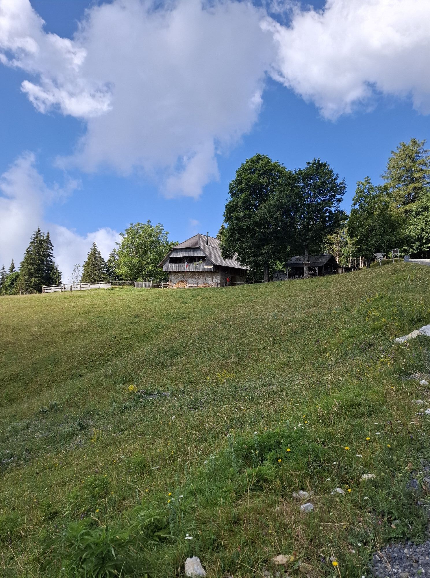
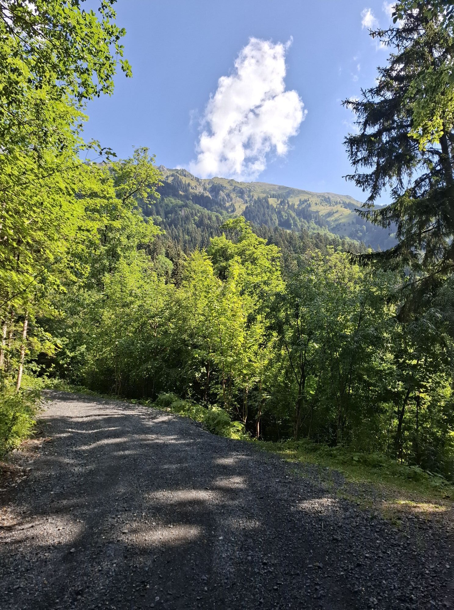
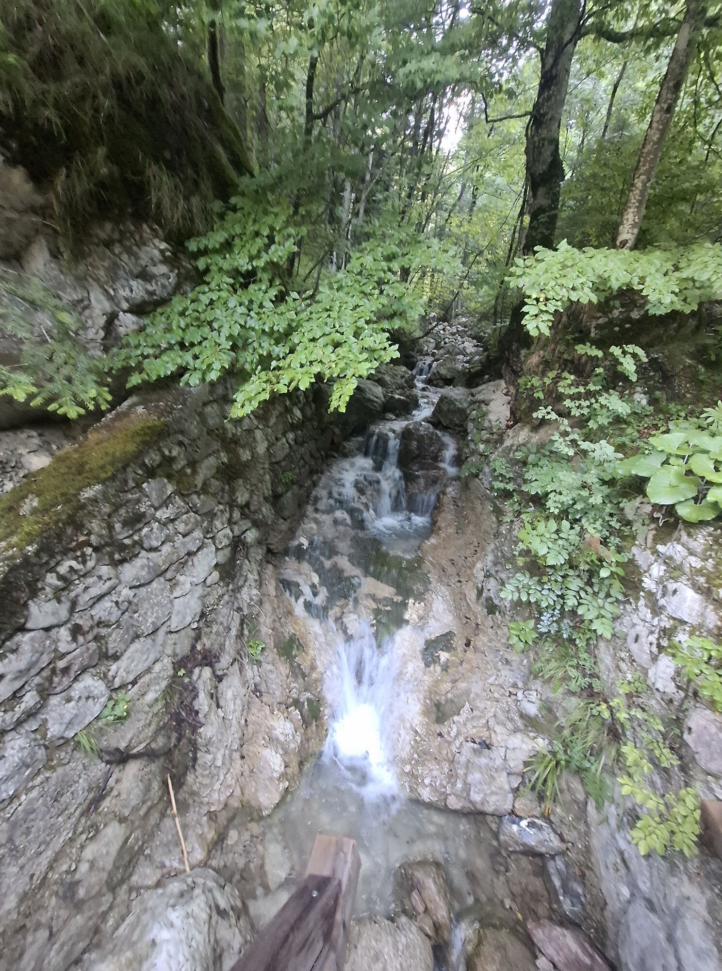
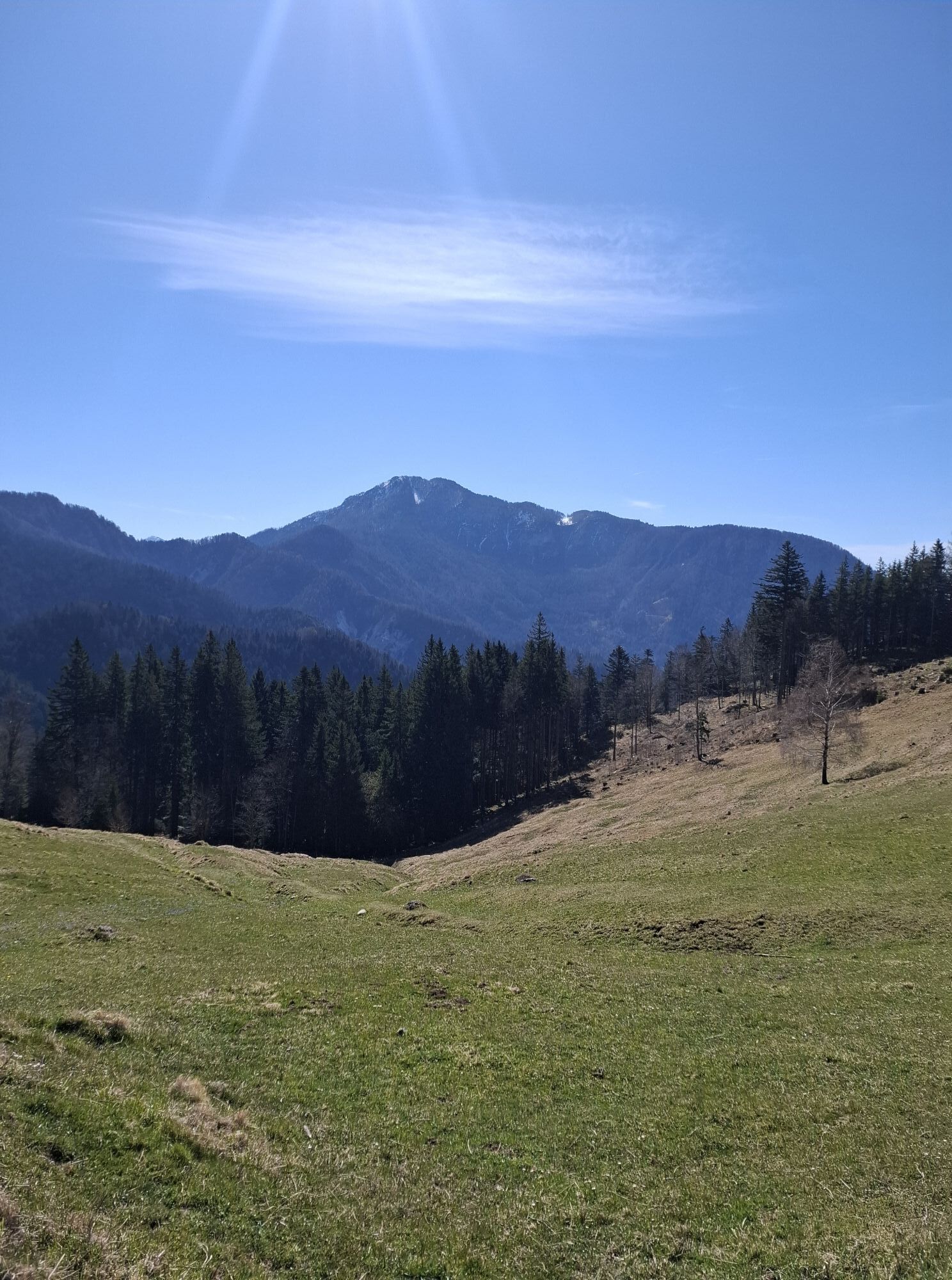
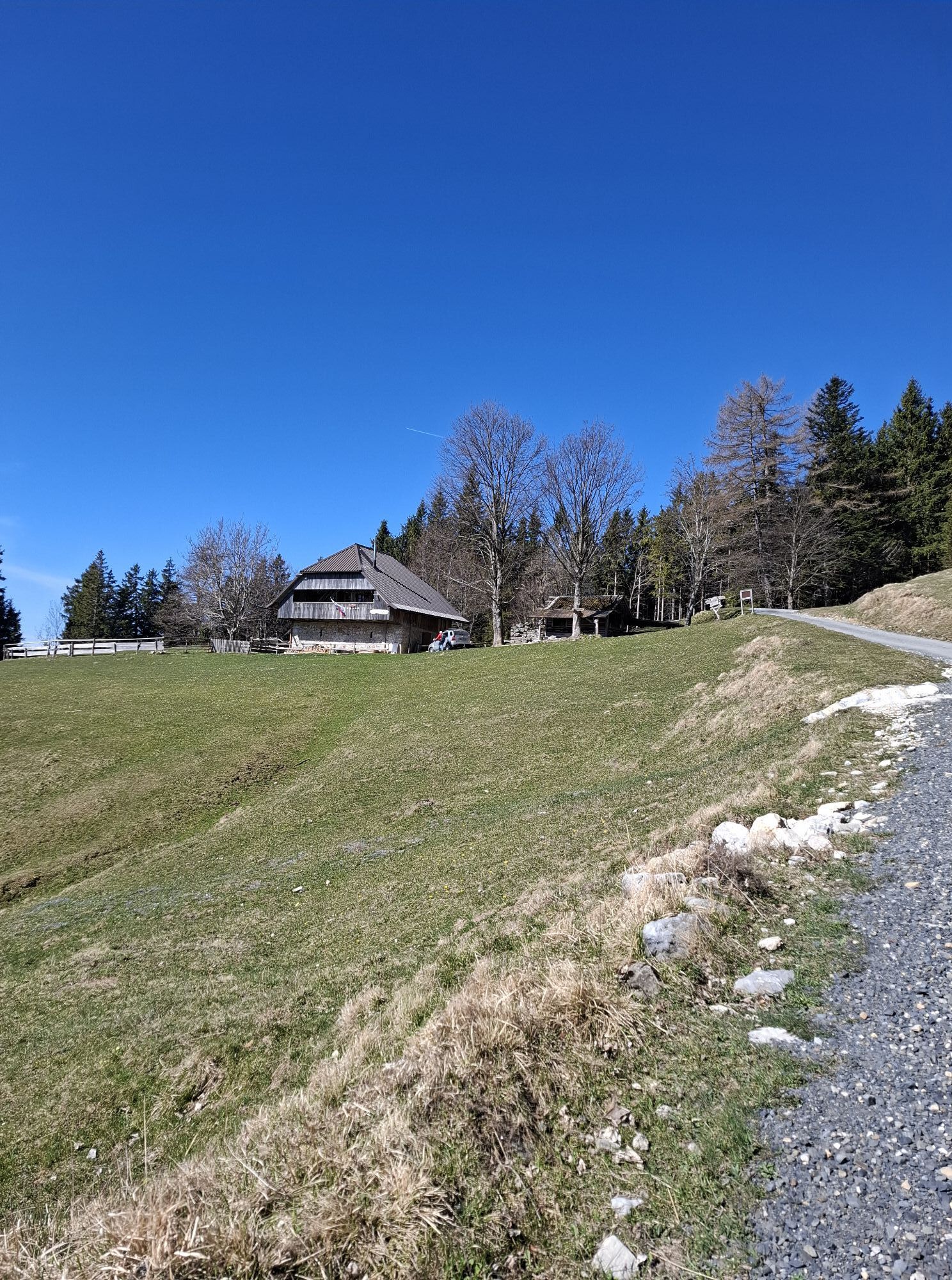
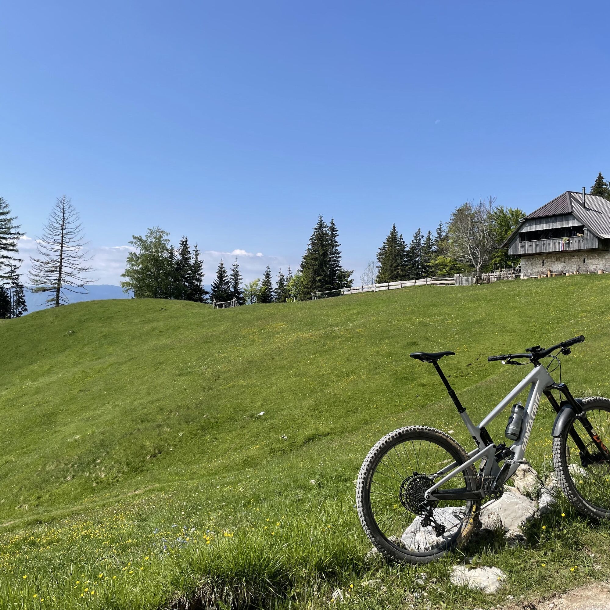
When the village path reaches the main road, turn left and then past the sawmill toward the junction at the far end of the village. Turn left (signpost to Kamen Castle, Draga) into Draga Valley. At the next junction, it is worth turning left to visit the mighty ruins of Kamen Castle. If you prefer to save time and energy for the big climb, continue on the paved road to the upper part of the valley. From the bridge at the Draga inn (always an excellent spot for a break!) onward, the road is gravel. Cycle northeast alongside the lively BegunjšÄica stream. The road soon turns sharply left and gradually climbs to the second bridge. From the third bridge onward, you are on the steepest part of the road. Although the gravel is loose in some sections, the road is solid enough to allow cycling. From the road bend onward, the long, flat, and steady climb eases somewhat. Continue cycling along the road and ignore a forest road that branches right after about 200 meters and then another that forks left a few minutes later. Stay on the ascending road, which shortcuts by hiking paths at the bends. While the hiking trail heads straight and upward into the forest, the road takes a long bend to the right. Both the trail and the road meet under picturesque mountain pastures near the Planina Planinca mountain hut. Continue to the upper part of the pasture, where you encounter a narrow gravel road leading east. Ignore it and stay on the wider road that passes a shepherd’s hut in the forest. In a few minutes, you reach the second pasture, former pastures of Poljška planina, with a large shepherd’s hut and barns (drinks and snacks available). You have reached the highest point of this cycling route (1195 m above sea level). Most hikers at this point will turn right toward the popular Roblekov dom mountain hut, but your path leads left (southwest) toward the top of the leveled mountain ridge.
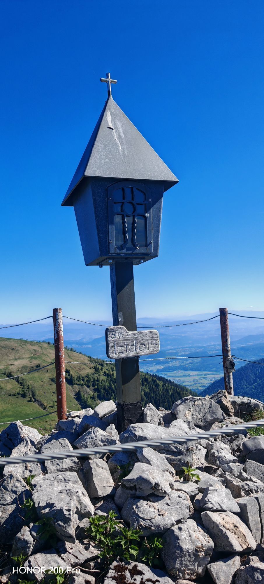
Once past the Poljška planina mountain hut, keep right on the forest path. A short climb follows, then you can start enjoying the anticipation of the descent. For the descent here, lower your seat and put on protective gear (knee pads, elbow pads, etc.). Note that this part of the descent can be somewhat muddy and therefore more demanding after prolonged rainy periods. The first part of the descent runs along a wide forest path with excellent forest ground, the second part is narrower and rockier. Pay attention to hikers ascending and adjust speed to your cycling skills and current conditions. You can also dismount and walk around major obstacles. The lower part of the descent is the most demanding as the path becomes narrower, steeper, and rockier. In the lower part of the first descent from Poljška planina toward the second part of the descent, from under Smokuški vrh to the mountain church of St. Peter, you reach a gravel forest road where you turn right and descend 2 km to your destination - the long-distance mountain biking route Trans Karavanke.
technically flawless bike (mountain or e-bike – XC, all mountain, enduro)
helmet, gloves, tinted glasses
knee pads, elbow pads (optional)
food and drink from a backpack (refreshments available at the destination)
spare inner tube, pump, multitool, first aid
personal ID, health insurance card
Part of the descent from Poljška planina to the forest road runs on a popular hiking trail. Please respect the dual use of the path and be considerate towards hikers.
Extra caution is needed in case of wet terrain.
4
Kamery internetowe z trasy

Popularne wycieczki w okolicy
-
4,2
MTB-Tour zur Klagenfurter Hütte
średniMountainbike 12,6 km -
3,9
Tscheppaschlucht Ferlach
światłoWędrówka 5,90 km -
4,8
Through the Tscheppaschlucht into the Loibltal
średniWędrówka 4,58 km -
4,7
Heart trail around Bled lake
średniTrasa tematyczna 5,93 km -
4,6
Water experience trail Hainschgraben
średniWędrówka 9,23 km -
4,6
Slow Trail Meerauge
światłoWędrówka 5,25 km -
4,4
From Bärental to the Kosiak (Klagenfurter Hut)
średniWędrówka 9,67 km -
4,8
KARAWANKEN: Ferlacher Horn vom Gh. "Deutscher Peter"
średniWędrówka 12,0 km -
4,3
Through the Tscheppa Gorge to Bodental
średniWędrówka 10,6 km -
4,6
Sinacher Gupf crossing
średniWędrówka 8,32 km
Wędrówki i tropienie


Nie przegap ofert i inspiracji na następne wakacje
Twój adres e-mail została dodana do listy mailingowej.





