


4th stage Trans Karavanke MTB
Valvasorjev dom – Potoška planina – Olipova planina – Javorniški Rovt – Dom Pristava – Križovec – Planina pod Golico – Plavški Rovt – Dovje – Mojstrana

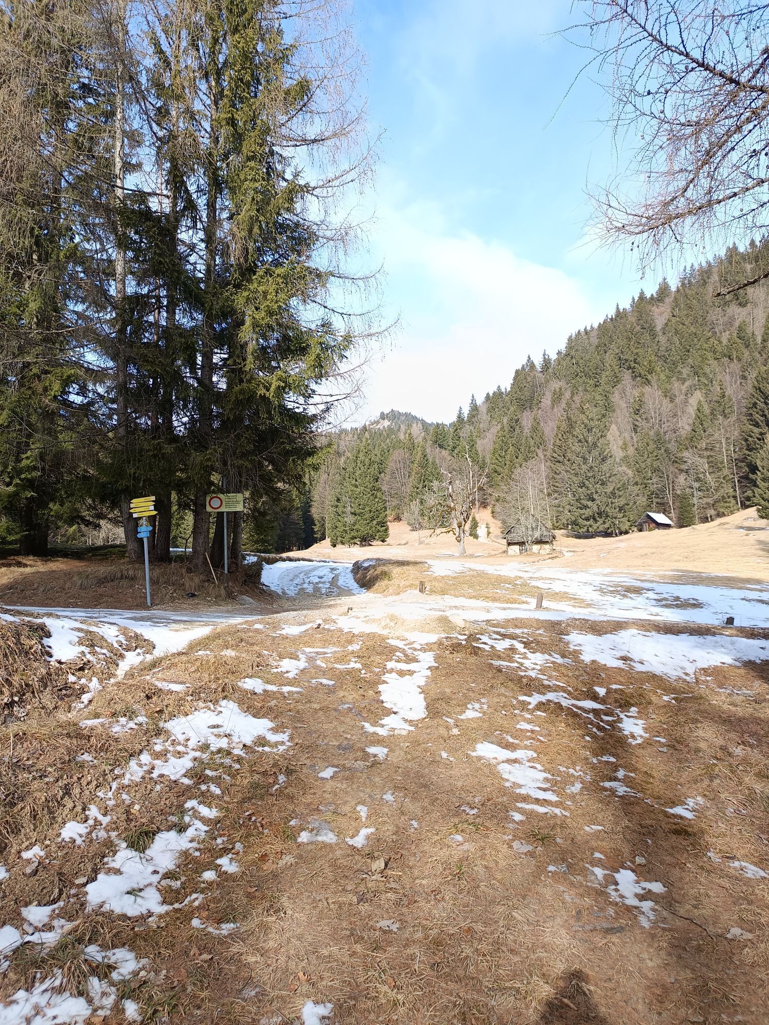
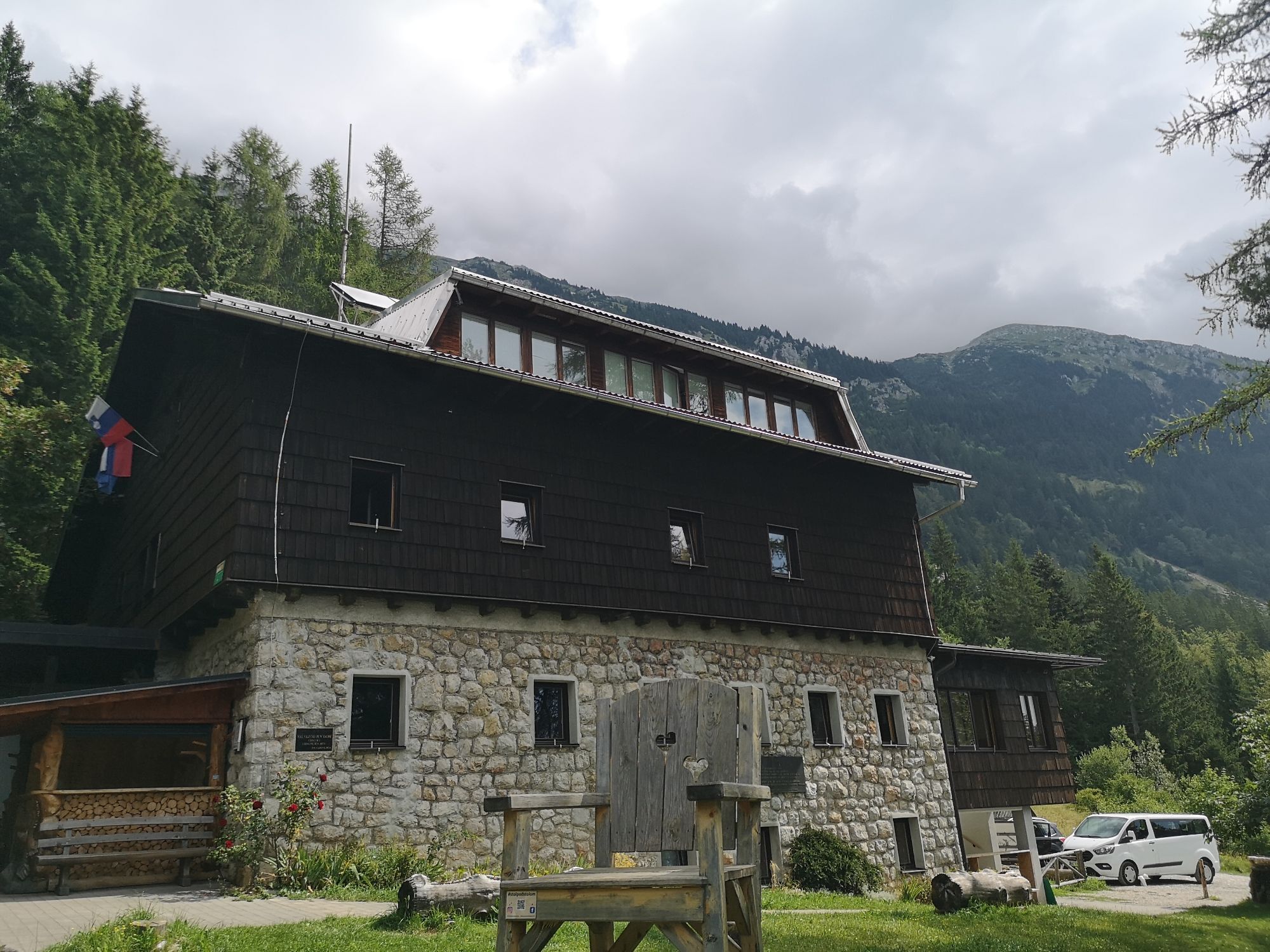
We will warm up with an initial ascent from Valvasor’s hut towards Potoška planina, 1.5 km away and 100 vertical meters higher than the starting point. From here, continue for 1.5 km straight past the junction to Planina Stamare towards Olipova planina. We are paying attention to the path that branches off to the left from the gravel road – we will descend towards Javorniški Rovt. The descent is 2.5 km long and very steep, as we descend for 400 altitude meters. It contains some technically challenging sections where we recommend hiking for safety reasons.
At Javorniški Rovt, on the main asphalt road, we turn right towards the Pristava Lodge / Dom Pristava, which is 1.3 km away and 100 vertical meters higher. We stamp the logbook here, this is also a nice opportunity for lunch.
From the Pristava Lodge in Javorniški Rovt, three kilometers and nearly 300 meters of climbing towards Križovec will follow. We ride back to the main road and turn right. After 300 m we turn right again onto the gravel road, after 2.2 km at the crossroads to the left, followed by another 500 m to Križovec, where the ascent ends.
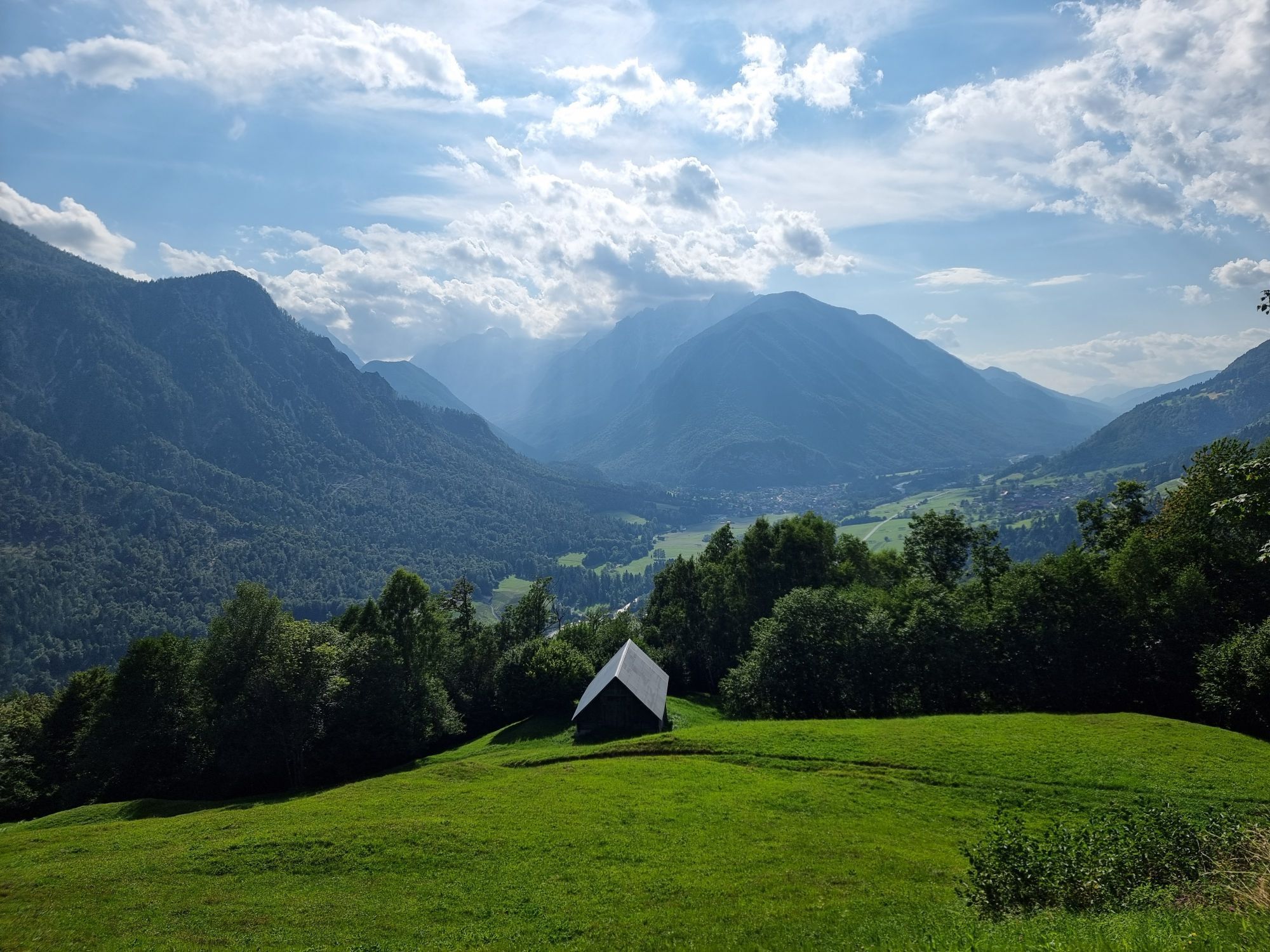
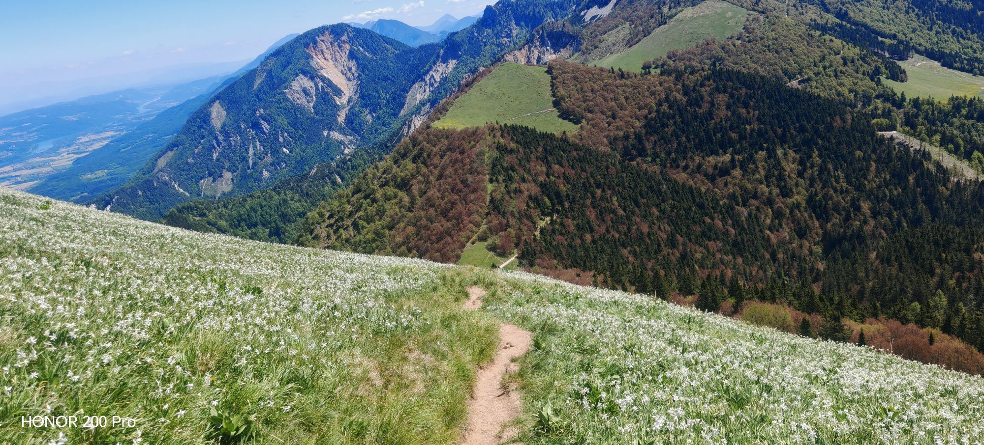
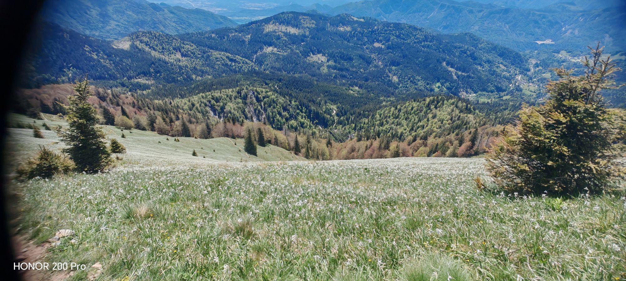
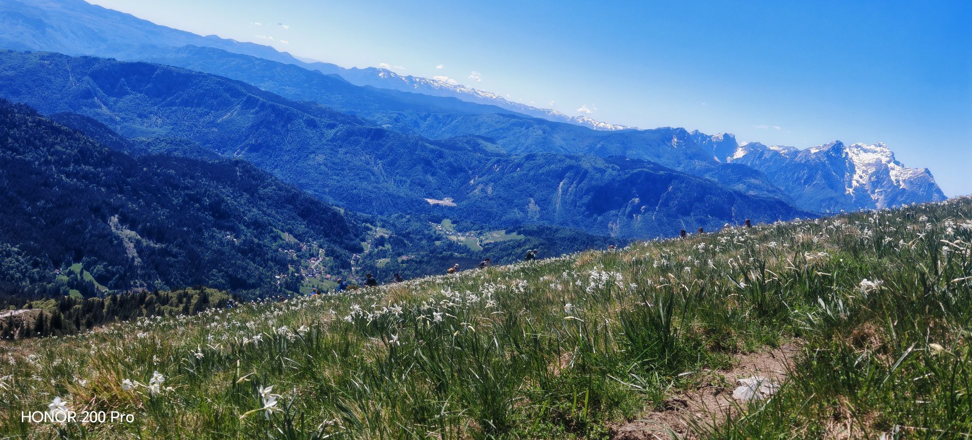
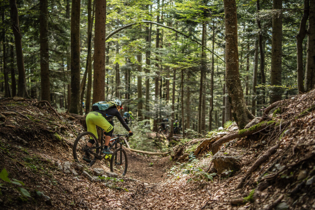
At the intersection of four roads, we continue straight towards Planina pod Golico. After 1 km we turn left and continue downhill, the gravel road will turn into asphalt and after another 2.5 km we will reach Planina pod Golico. At the crossroads, we turn right towards the church, and continue downhill below the church at the crossroads to the left, and a little further we continue straight. A shorter steep section (300 m) leads to the junction where we turn right across the bridge. Shortly after the start of the ascent we turn left again, then left again after the Tršan farm. This is followed by a kilometer of scenic path through the woods and across the meadows towards Plavški Rovt, where, if the route is planned at the right time, daffodils will accompany us.
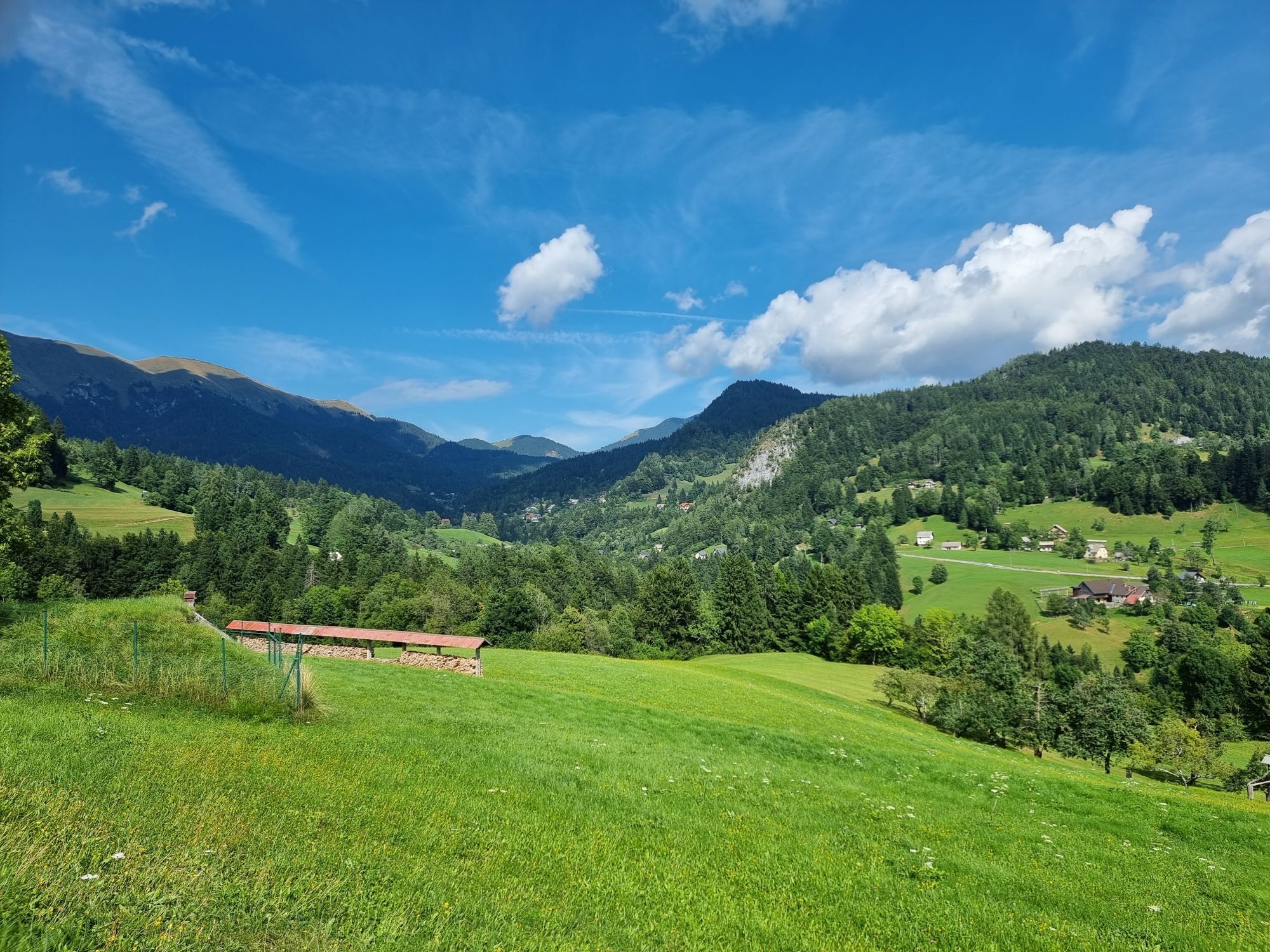
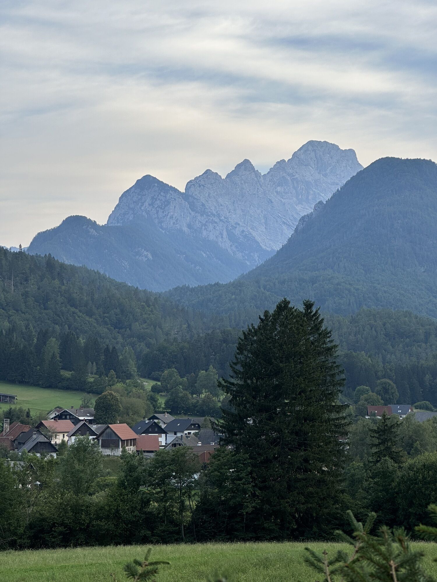
At Plavški Rovt turn right uphill, as the last serious climb of the stage awaits. Along the well-maintained gravel roads, we will ascend 350 meters in five kilometers. We follow the main road and turn left at the Zakamnik farm. The climb is over at Visoke meadows, we can take a rest and enjoy the peace of a remote meadows. Another 7.5 km of gentle descent past the junction for Dovška Rožca and we are already in Dovje, and only a kilometer from here through the village and across the busy main road to Mojstrana. When crossing the main road do not overlook the monument to Jakob Aljaž, the pastor, music composer and a mountaineer who, among other things, is responsible for the erection of the tower at the top of Triglav, the highest Slovenian mountain. The stage ends in Mojstrana village at the Slovenian Alpine Museum.
Sights along the route:
Monument to Jakob Aljaž
Slovenski planinski muzej / Slovenian Alpine Museum in Mojstrani
Savske jame / Savske caves at Planina pod Golico
Popularne wycieczki w okolicy
- 4,2
MTB-Tour zur Klagenfurter Hütte
średniMountainbike 12,6 km - 4,4
Slow Trail Meerauge
światłoWędrówka 5,51 km - 4,3
From Bärental to the Kosiak (Klagenfurter Hut)
średniWędrówka 9,67 km - 4,7
Ogrisalm ab Bodenbauer, Kärnten/Österreich
światłoWycieczka narciarska 11,2 km - 4,6
Rotschitza Klamm Klettersteig B/C
średniVia ferrata 3,73 km - 4,5
Baumgtn. Höhe, Mallestiger Mittags- und Schwarzkogel
ciężkiWędrówka zimą 10,7 km - 4,4
Mallestiger Mittagskogel
średniWędrówka 8,17 km - 4,6
Sinacher Gupf crossing
średniWędrówka 8,32 km - 4,9
Gratschenitzen Kreuz
ciężkiWycieczka wysokogórska 3 km - 4,6
Heart trail around Bled lake
średniTrasa tematyczna 5,93 km

Wędrówki i tropienie


Nie przegap ofert i inspiracji na następne wakacje
Twój adres e-mail została dodana do listy mailingowej.