


3. stage Trans Karavanke MTB

Planinski dom na Zelenici – KoÄa pri izviru Završnice – Smokuška planina – TinÄkova koÄa – Završniško jezero – Zabreška planina – Žirovniška planina – Valvasorjev dom

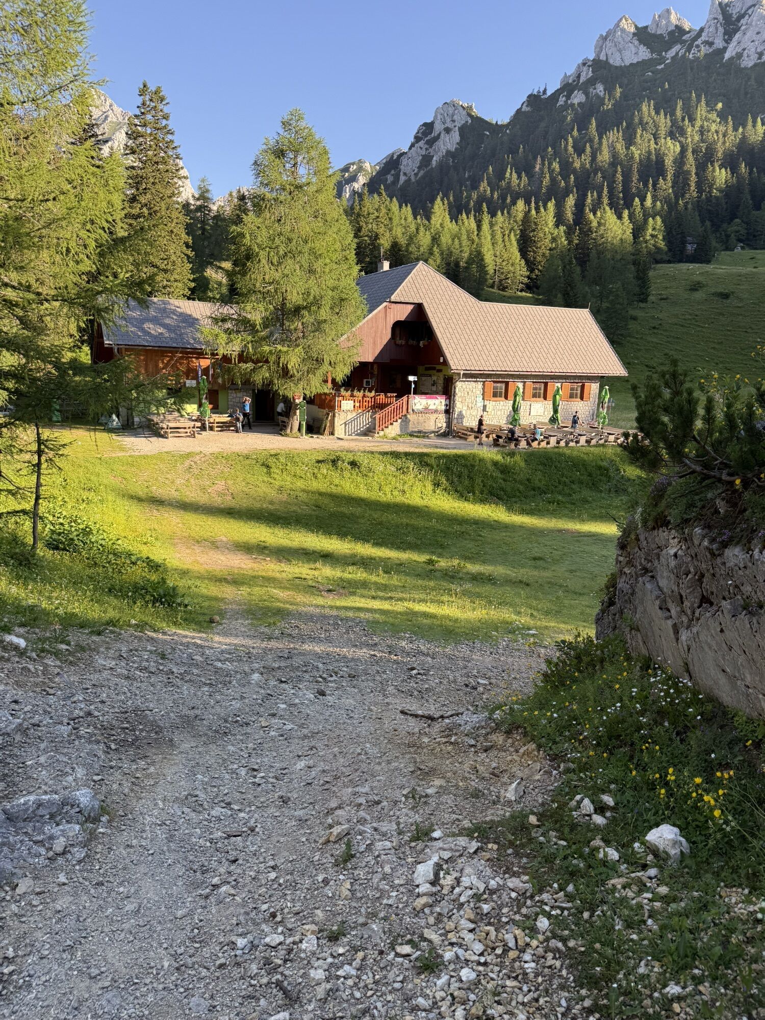
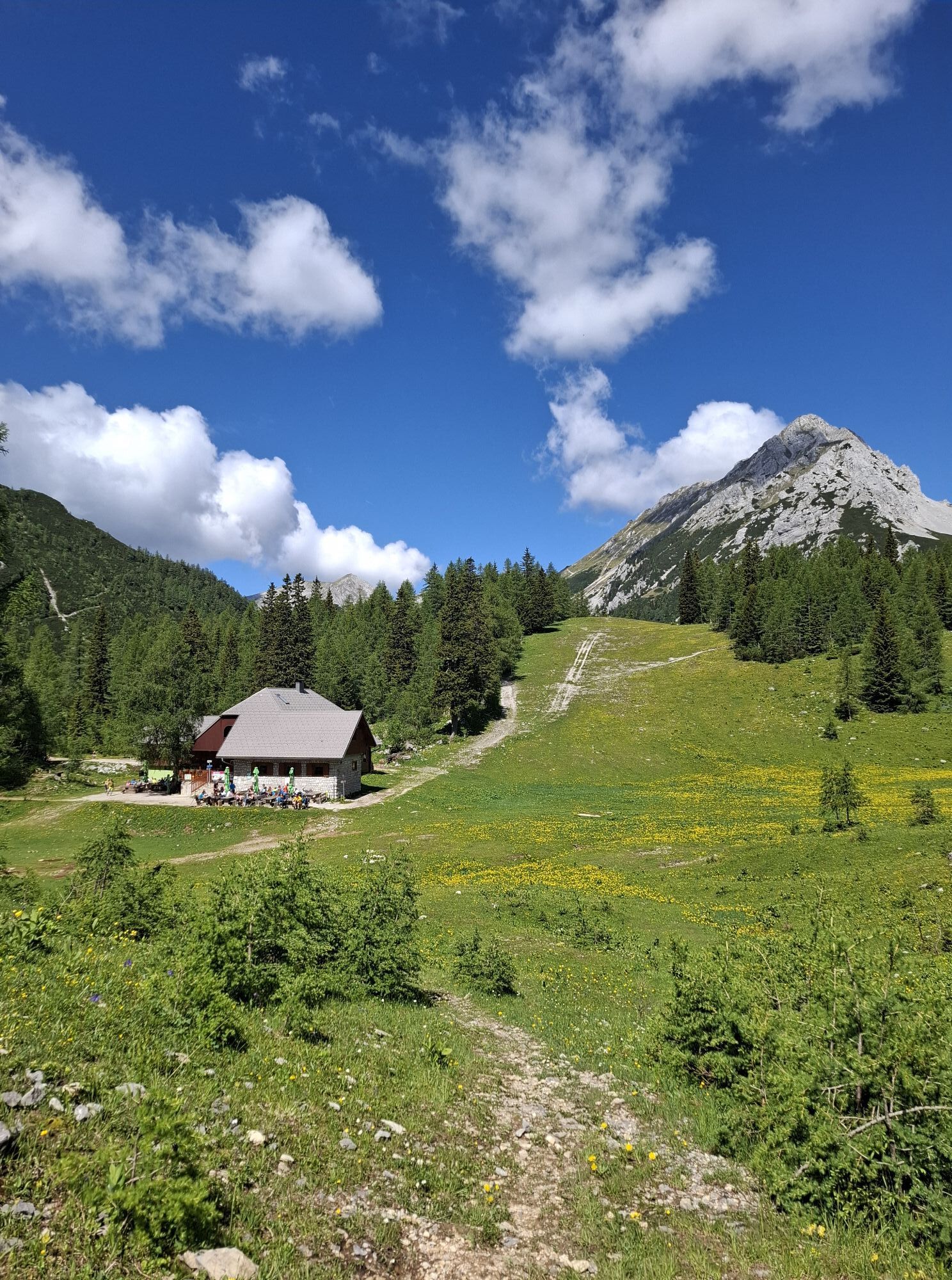
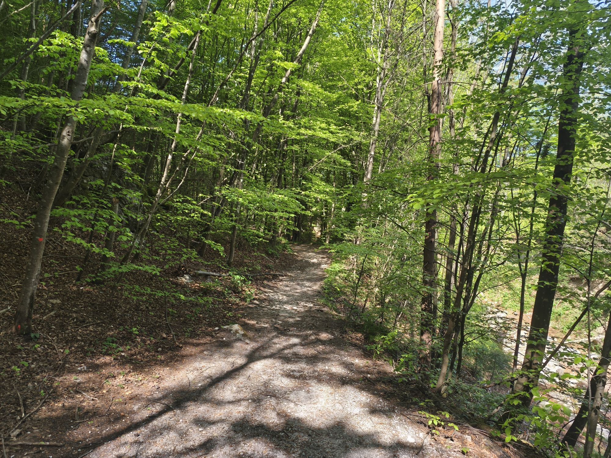
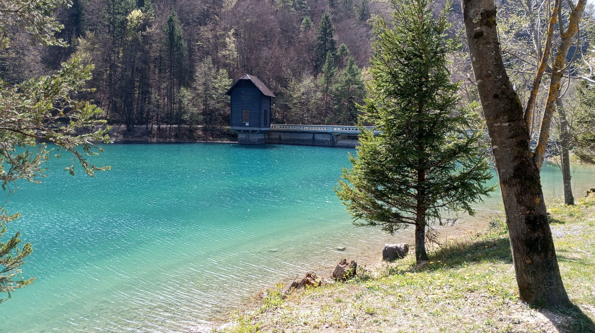
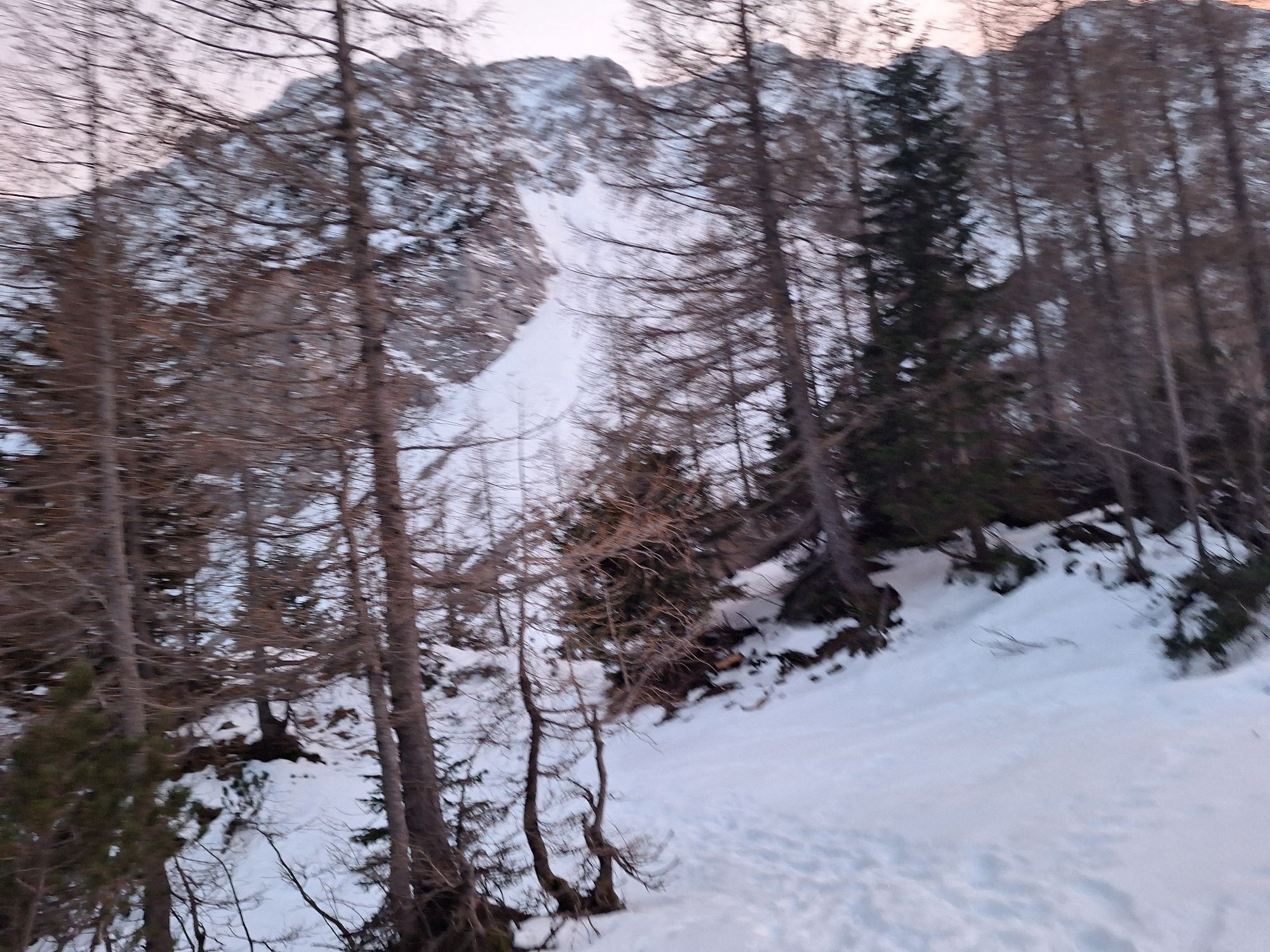
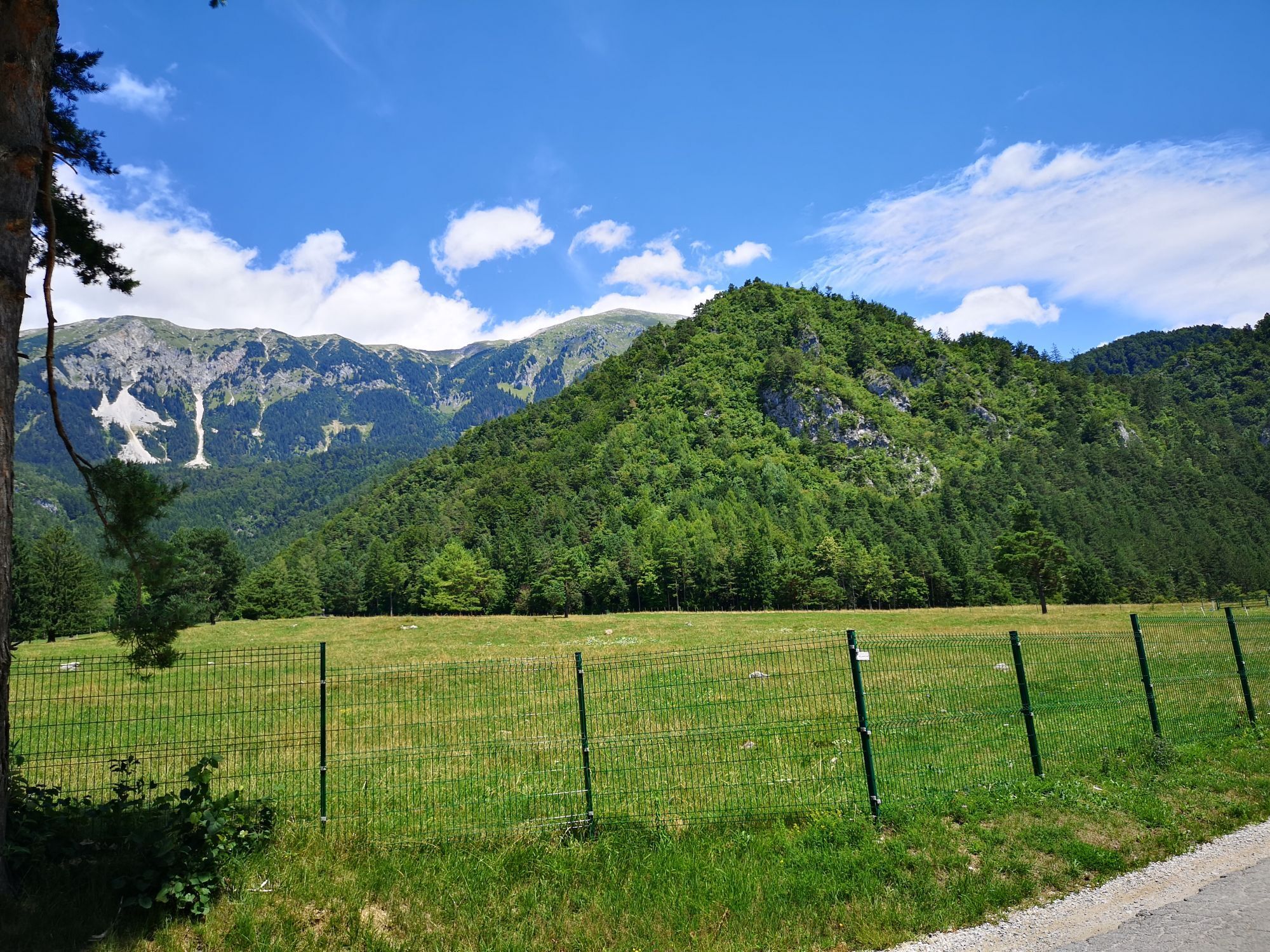
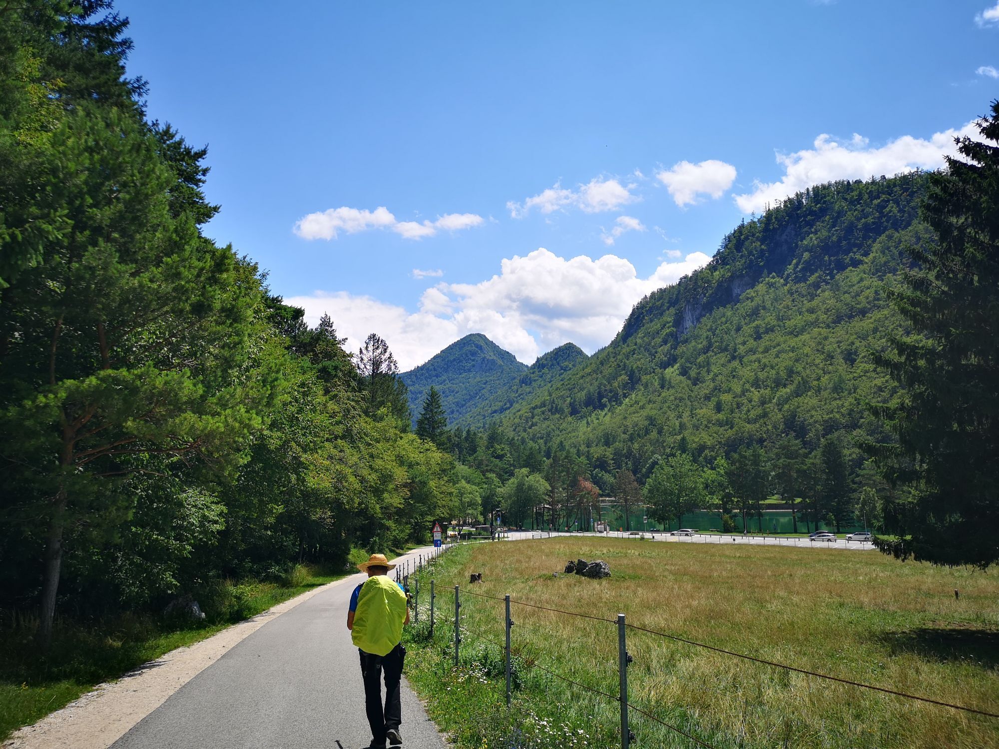
The stage begins with a short climb from the Mountain Lodge at Zelenica (Planinski dom na Zelenici) towards the hut at the spring of Završnica (KoÄa pri izviru Završnice). The trail soon begins to descend, and at the spring of Završnica there is a short technically very demanding section where we hike along the bike. There is a checkpoint at the hut at the spring of Završnica, and we can also refresh ourselves before continuing. In the shelter of the mighty BegunjšÄica and VrtaÄa mountains, we continue for two kilometers on a steep forest road with a rather rough gravel through Smokuška Planina towards TinÄkova koÄa. This is where the road improves significantly and the slope becomes less steep. The descent continues for a little under 6 km past the mountain pasture Pri žagi and straight at the fork for KališÄa. All too soon as we get to Završniško Lake, where the descent ends.
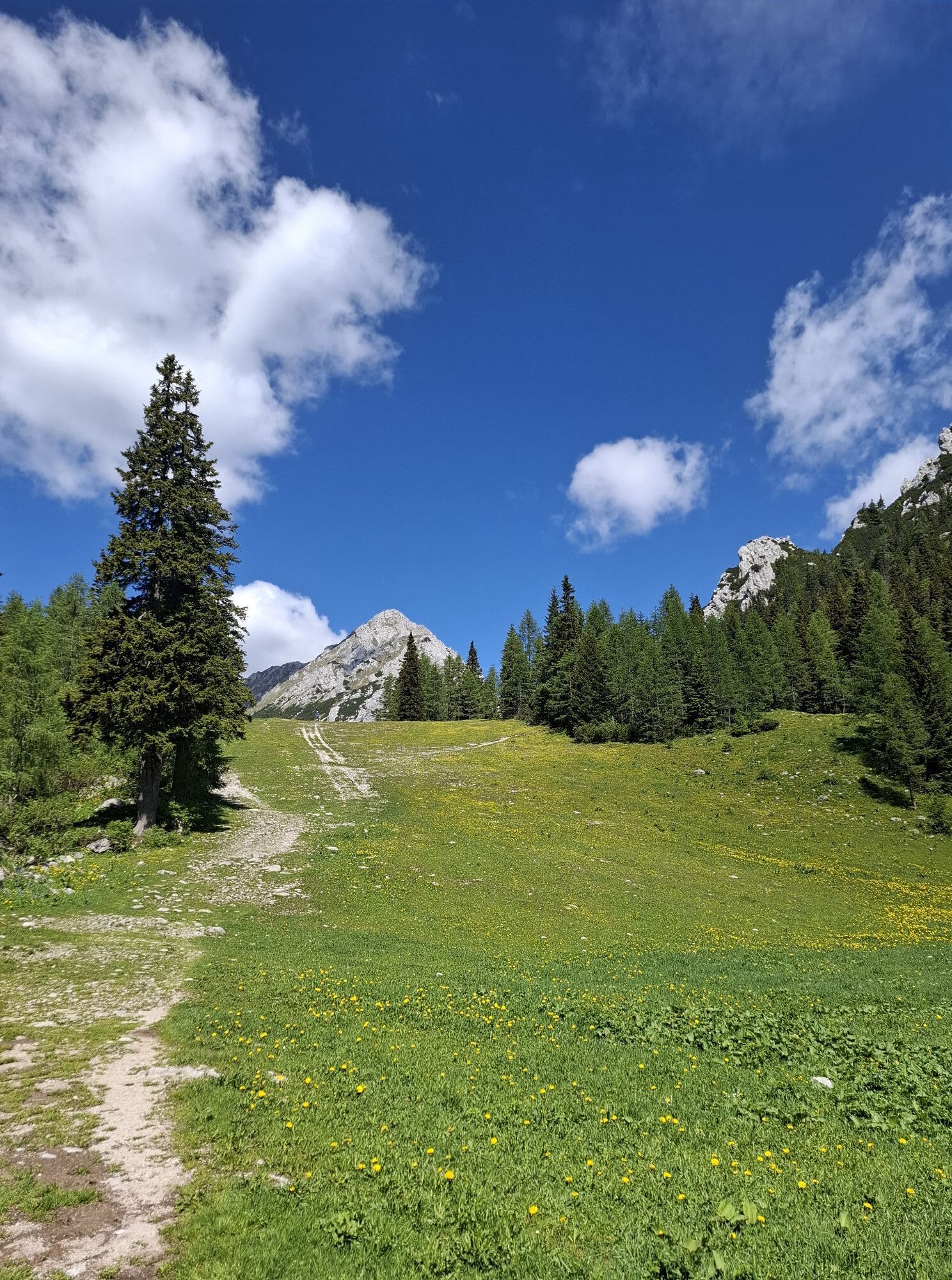
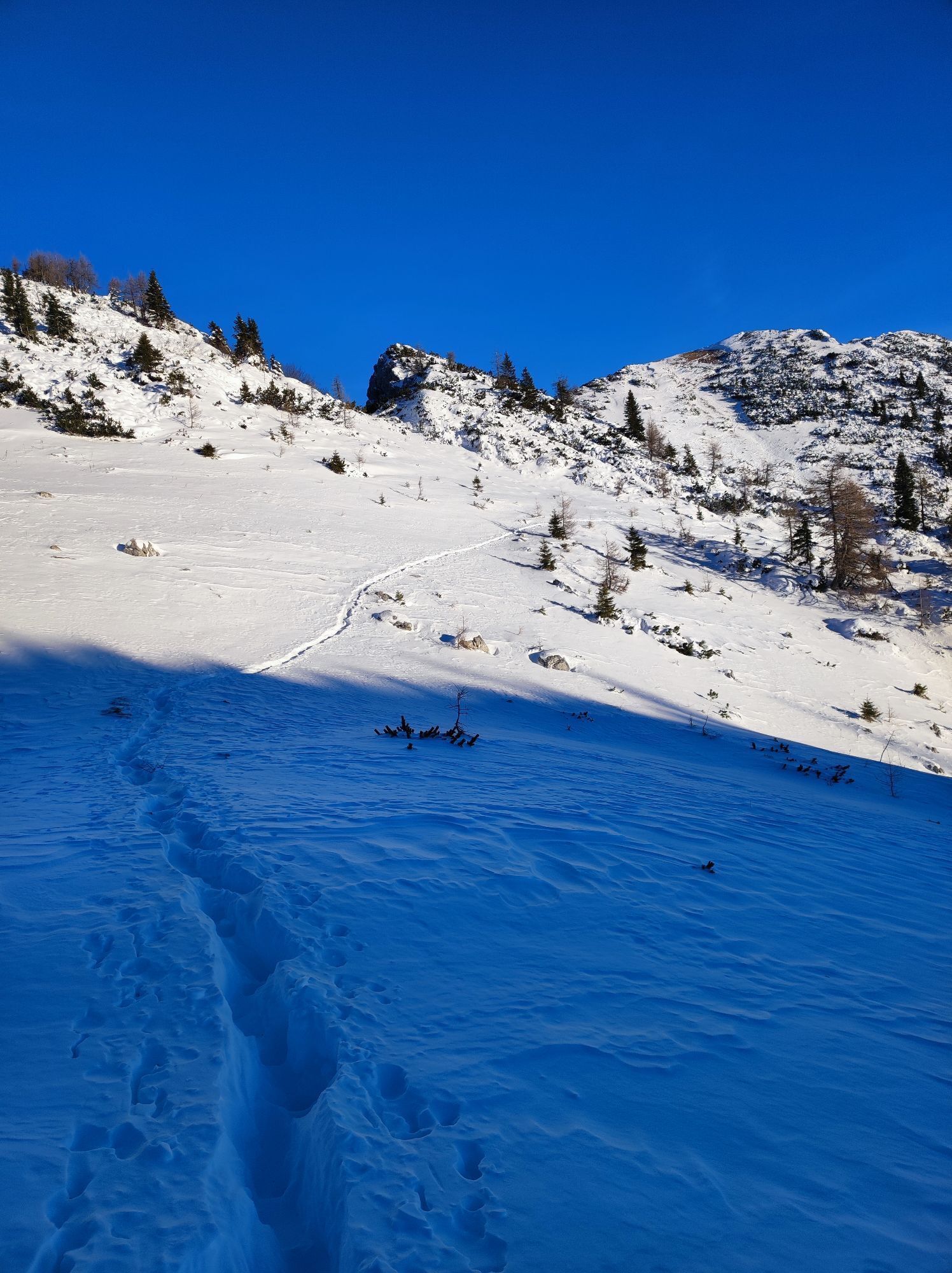
After the relaxing pause at the lake it is time to climb. At the crossroads behind the lake, we turn right towards Stol. We will climb for about 600 vertical meters, and to our destination – Valvasor’s Lodge – we will take a slightly longer route through the beautiful panoramic mountain meadows on the slope of the Stol mountain.
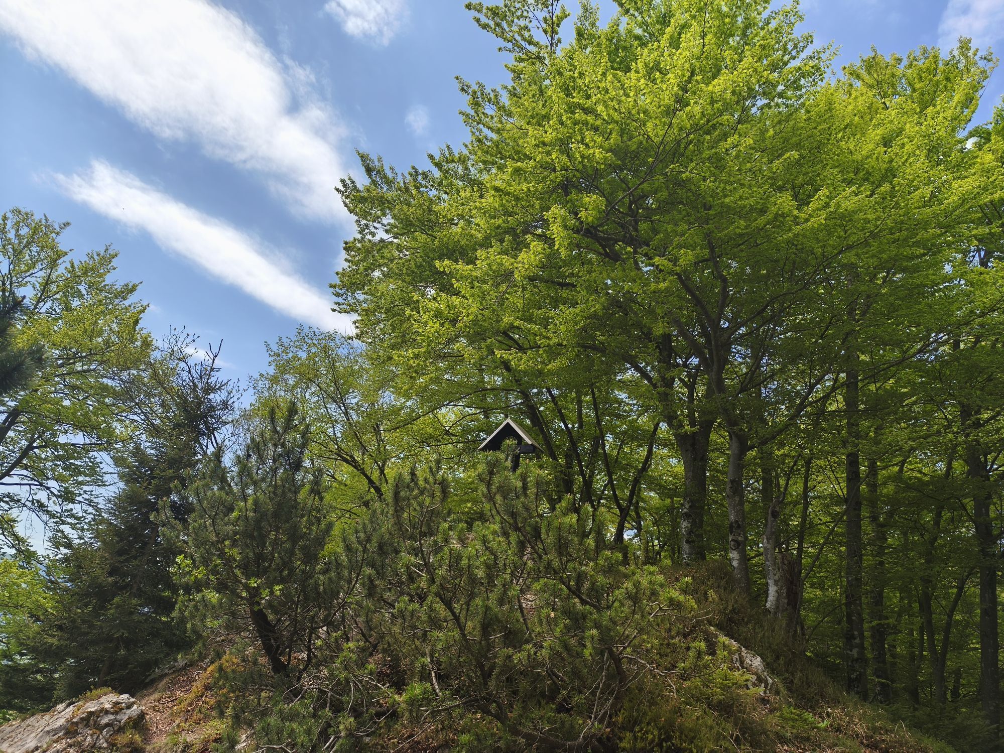
During the ascent, we can visit the Turkish Cave, where in the 15th and 16th centuries the inhabitants hid from the Turks. Access by bike is not possible, the cave is 5 minute hike away from the road.
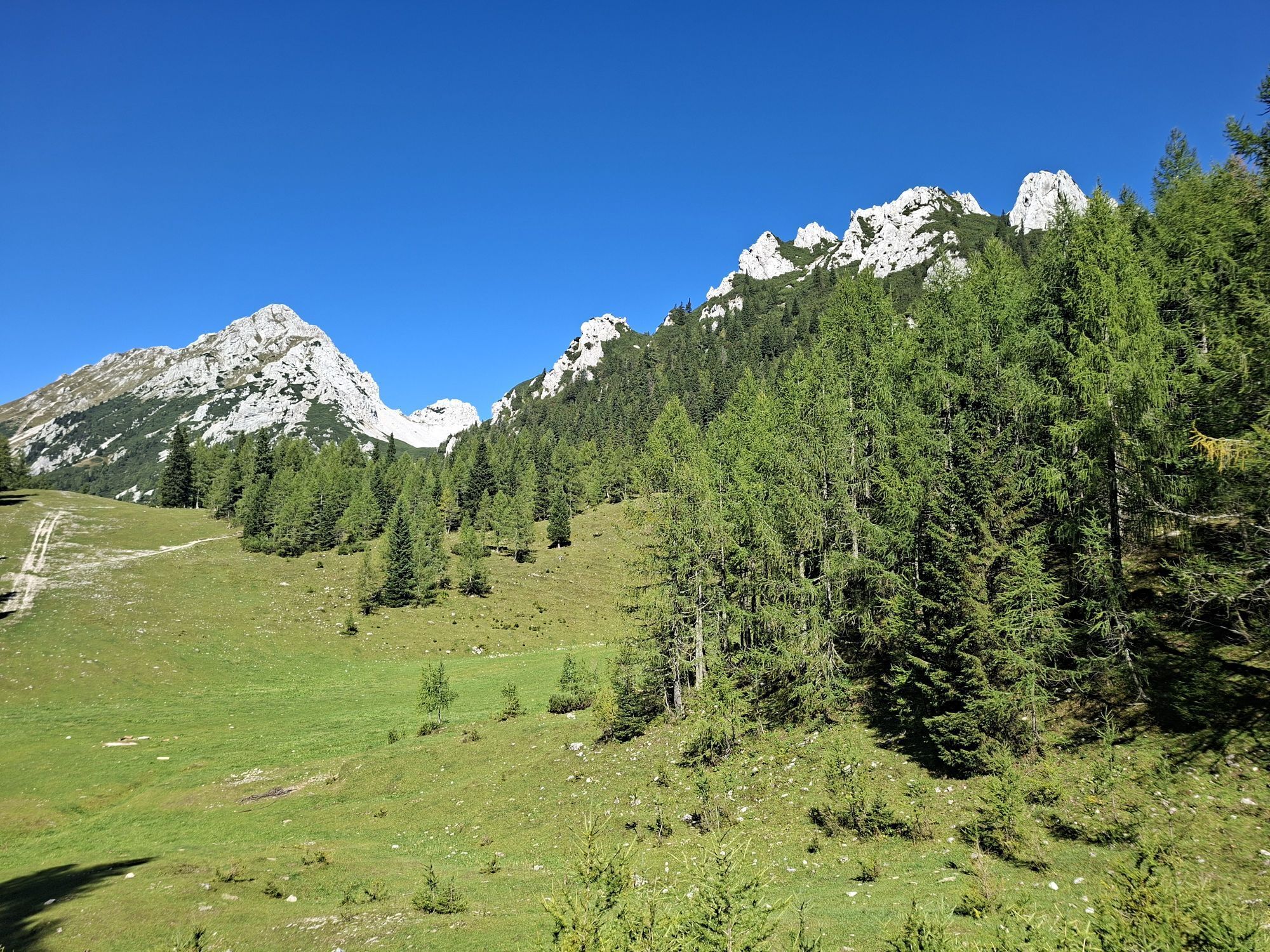
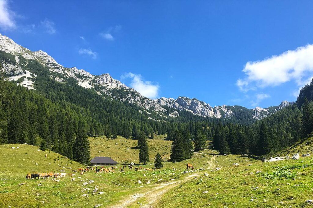
At the Jamov’c intersection we turn right, continue for 1.4 km, then we turn left towards Zabreška planina. The road is steep, fortunately the dense forest protects us from the sun. After 1.5 km we are rewarded with one of the most beautiful views from the Gorenjska mountains: the Zabreška planina meadow offers a view of the many villages and towns below us, while the Julian Alps boast in the distance above Bled lake. The cabin also offers a great opportunity for refreshment after a long climb.
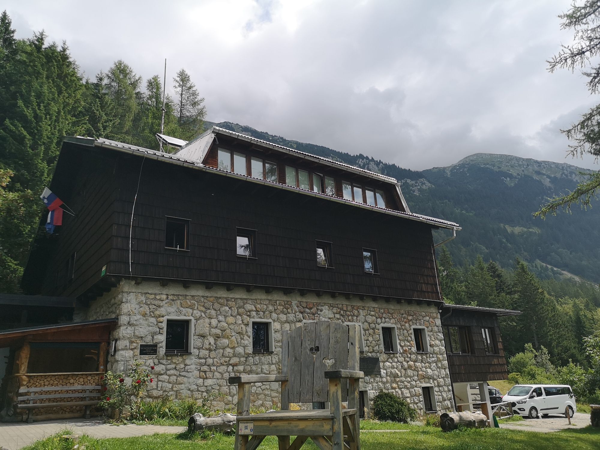
We continue cycling past Žirovniška planina. When we reach the gravel road after 1.5 km, we will turn right uphill, and only after a short 200 meters we will reach today’s destination, the Valvasor Lodge under Stol (Valvasorjev dom pod Stolom).
Sights along the route:
The source of Završnica river (izvir Završnice)
Završniško lake
Turška cave
Zabreška planina
Popularne wycieczki w okolicy
-
3,9
Tscheppaschlucht Ferlach
światłoWędrówka 5,90 km -
4,1
MTB-Tour zur Klagenfurter Hütte
średniMountainbike 12,6 km -
4,5
Slow Trail Meerauge
światłoWędrówka 5,25 km -
4,6
Water experience trail Hainschgraben
średniWędrówka 9,23 km -
4,6
Heart trail around Bled lake
średniTrasa tematyczna 5,93 km -
4,3
From Bärental to the Kosiak (Klagenfurter Hut)
średniWędrówka 9,67 km -
4,7
Ogrisalm ab Bodenbauer, Kärnten/Österreich
światłoWycieczka narciarska 11,2 km -
4,1
Through the Tscheppa Gorge to Bodental
średniWędrówka 10,6 km -
3,9
Singerberg, über die Südseite
średniWędrówka 7,87 km -
4,6
Sinacher Gupf crossing
średniWędrówka 8,32 km
Wędrówki i tropienie


Nie przegap ofert i inspiracji na następne wakacje
Twój adres e-mail została dodana do listy mailingowej.