







Karavanke Trail- STAGE 3: Kranj - Tržič

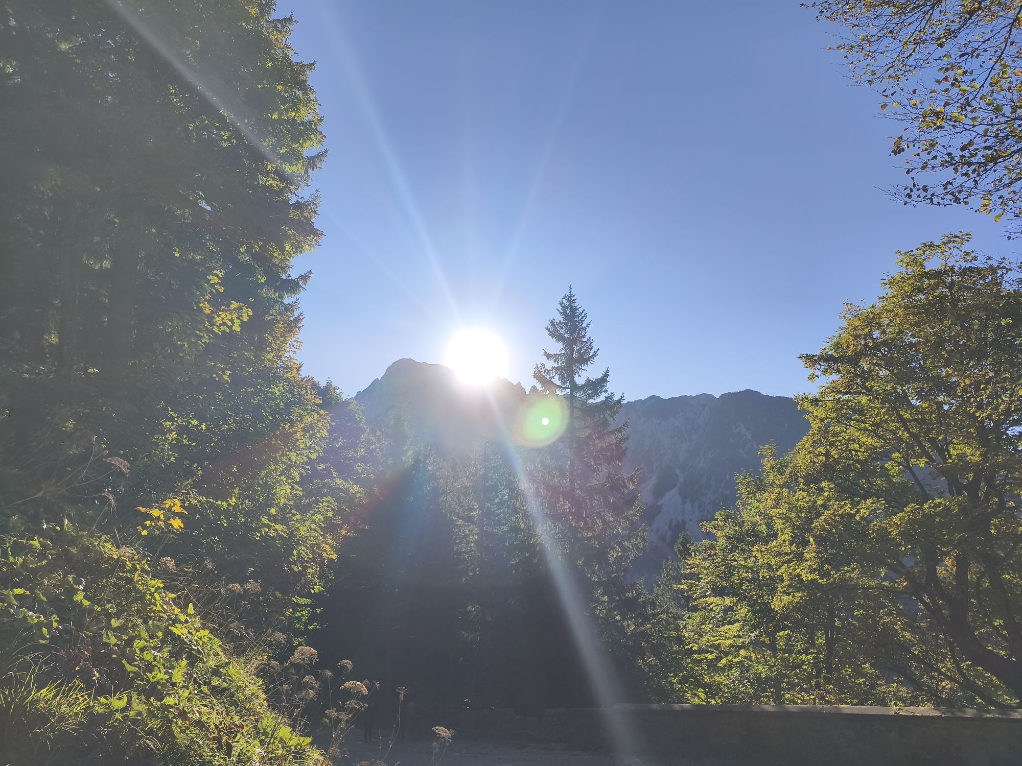
This dynamic stage takes place away from the hustle and bustle of the city and enables a hiker to dive into true mountain scenery. From Kranj we go to the Brdo estate, continues past Čukova jama and the...
This dynamic stage takes place away from the hustle and bustle of the city and enables a hiker to dive into true mountain scenery. From Kranj we go to the Brdo estate, continues past Äukova jama and the RaÄnik pond into the heart of the Udin boršt forest. Here we can enjoy riches of the mighty nature. From the woodlands, we start ascending past Golnik and on to the village of Gozd, under Kriška gora. This is followed by a pleasant descent into the TržiÄ valley, where we are greeted by the town's rich industrial tradition, strongly connected with Karavanke.
This route is the 3rd stage of the Karavanke Trail, going from Zgornje Jezersko to Kranjska Gora in a total length of 143 km.

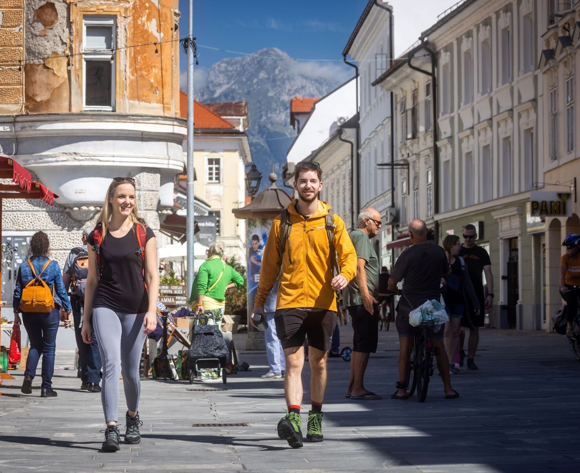
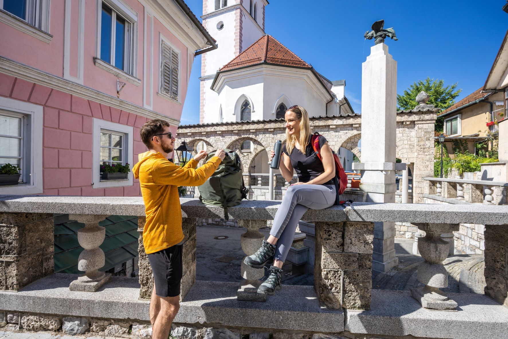
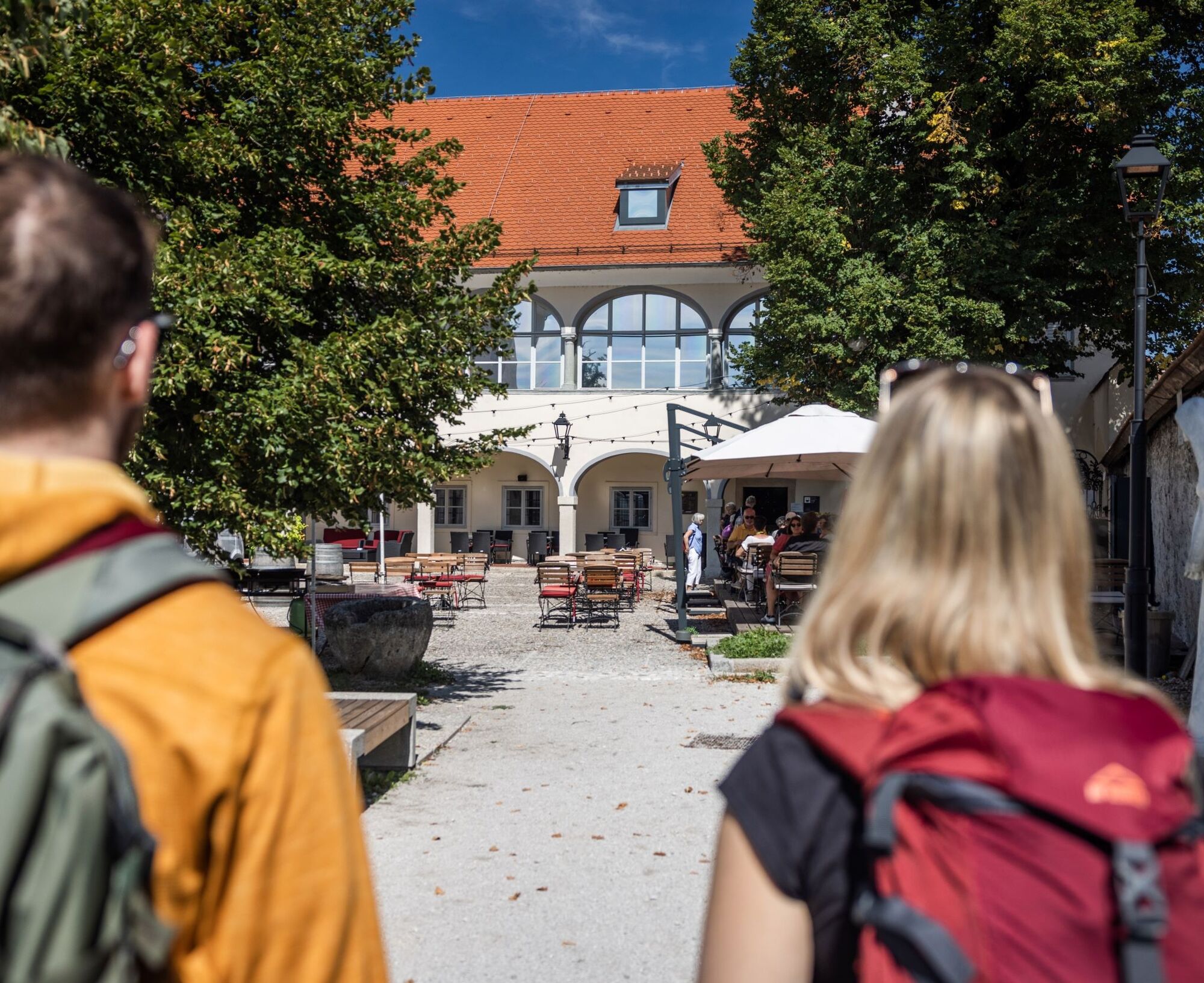
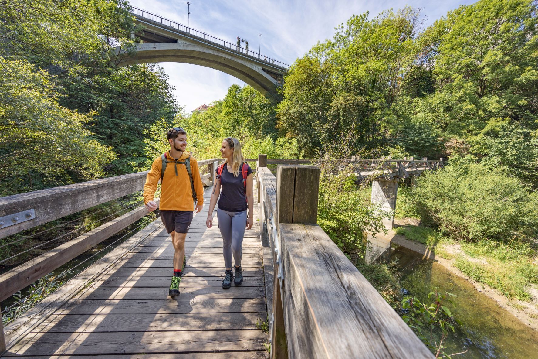
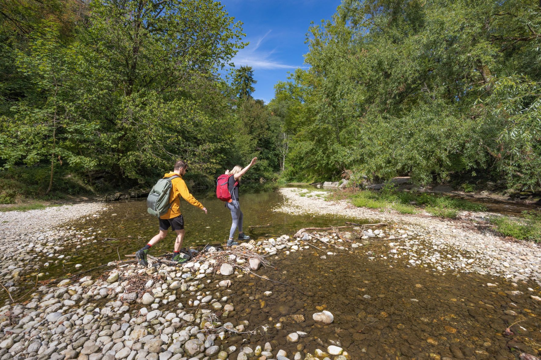
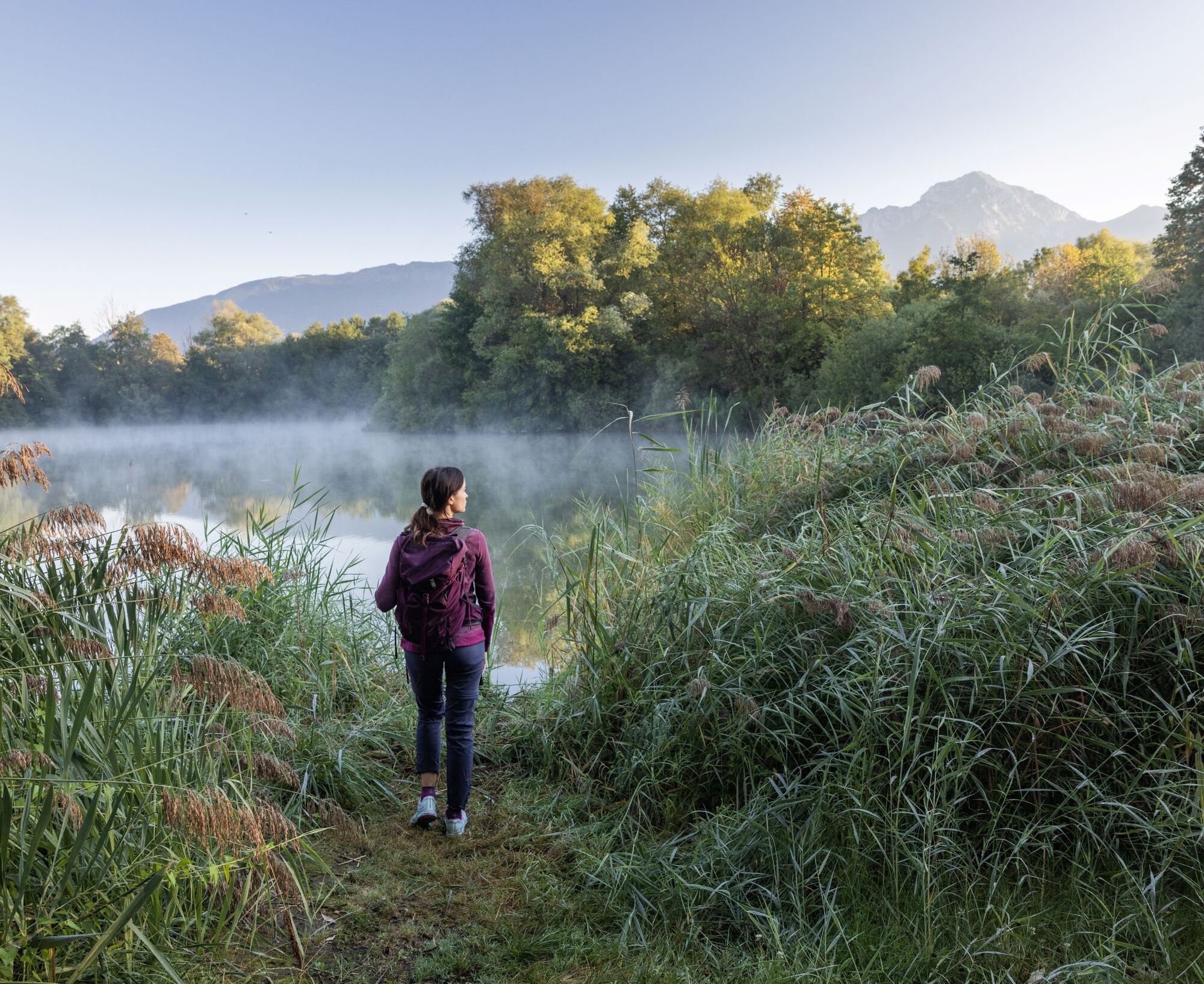
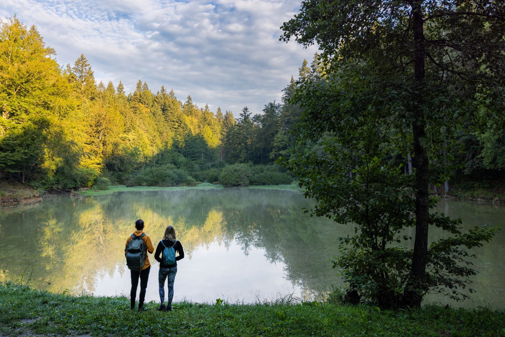
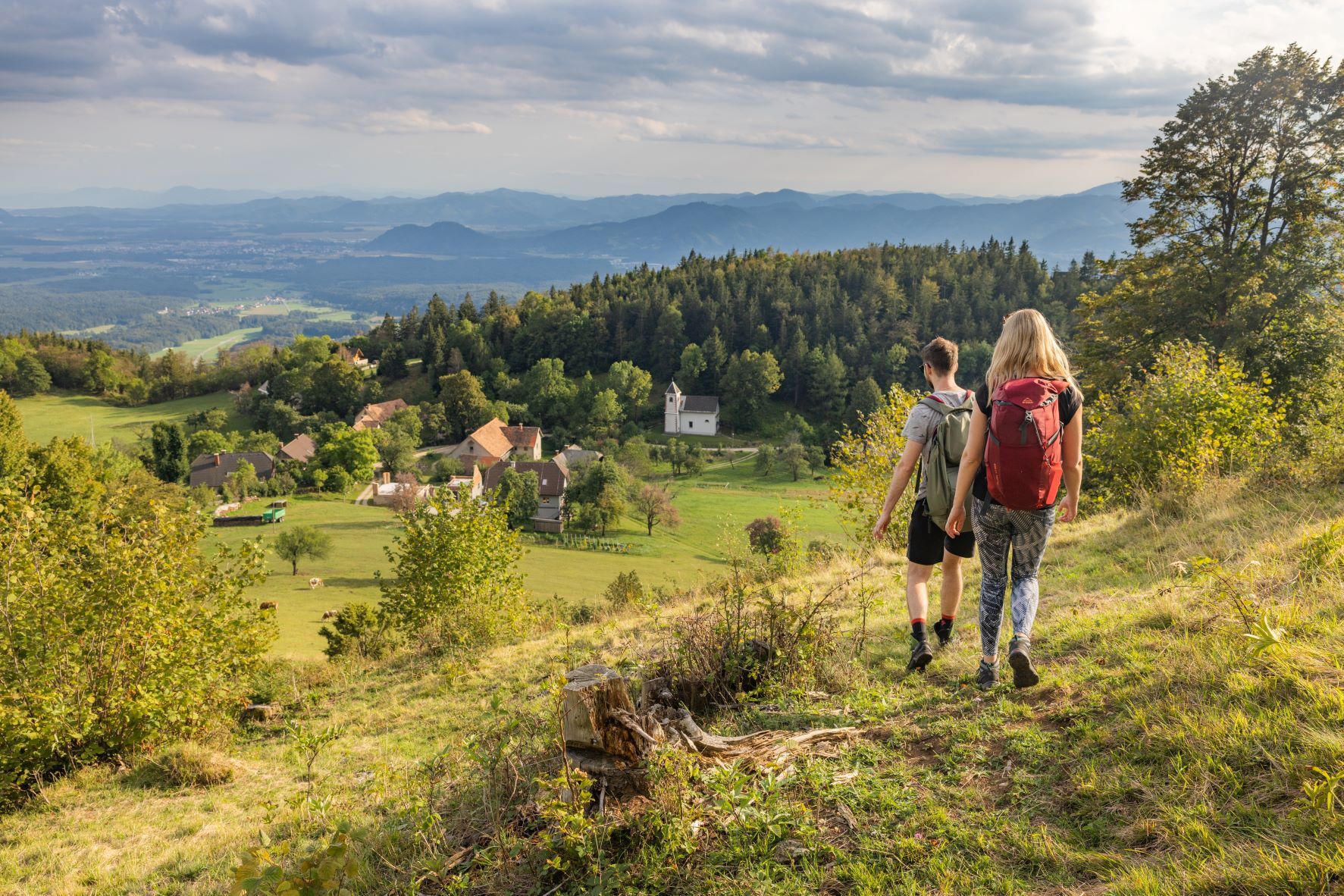
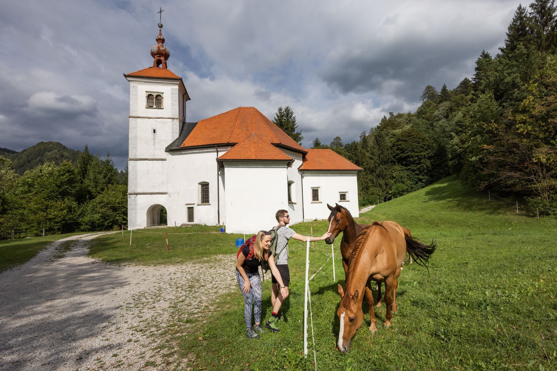
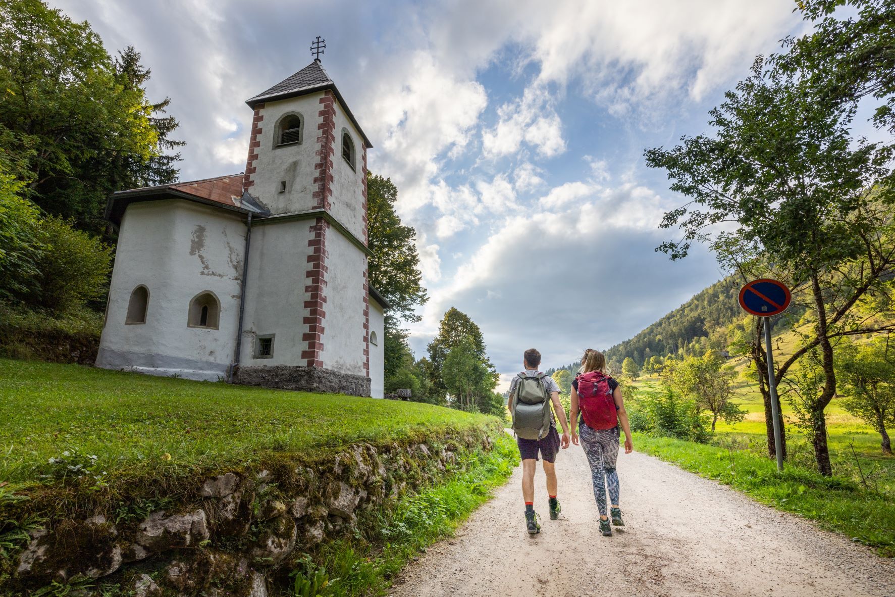
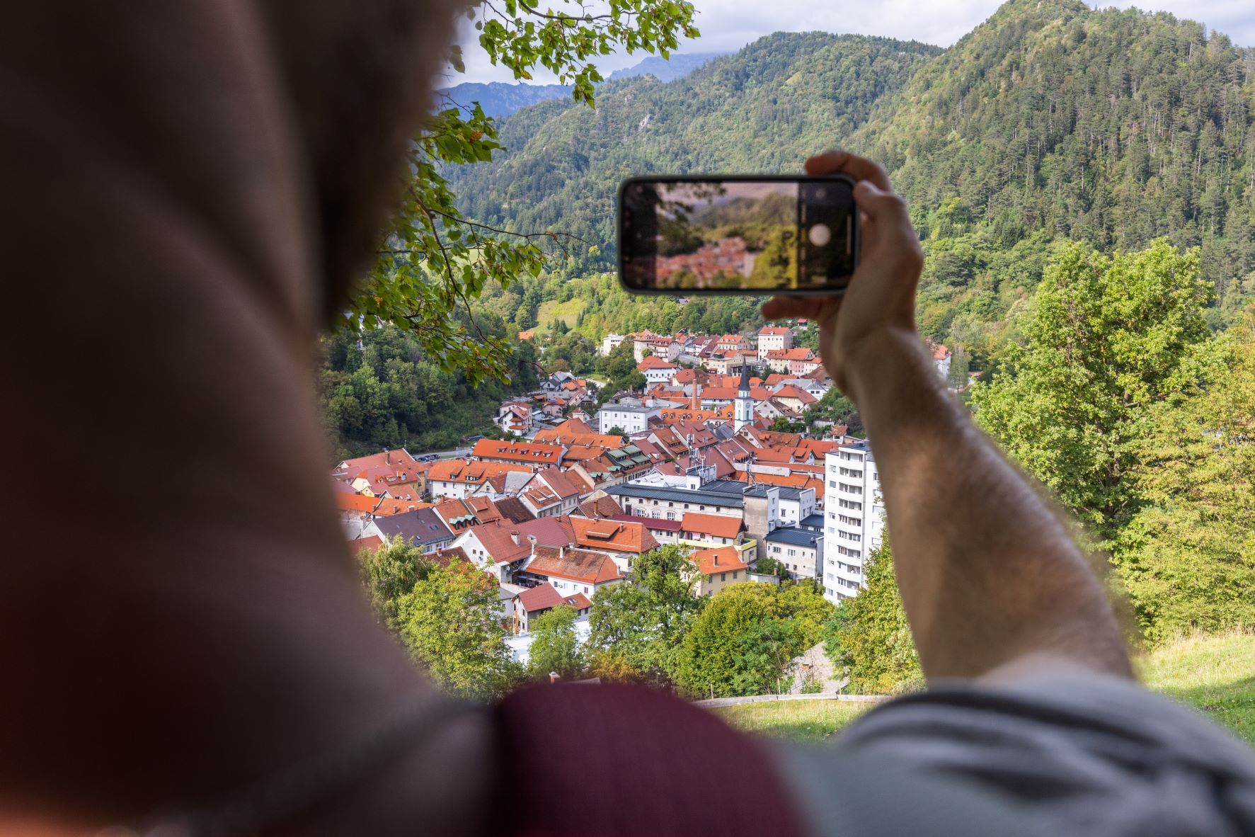
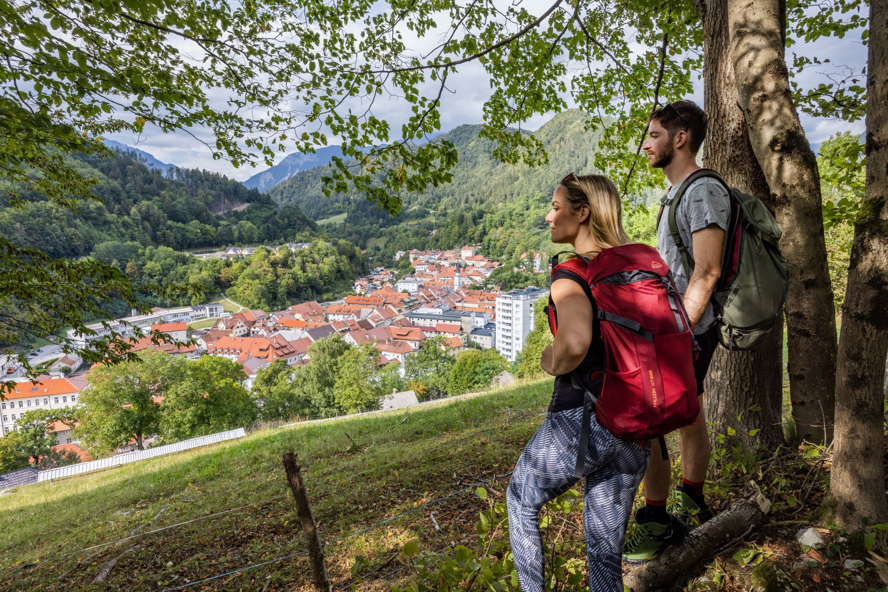

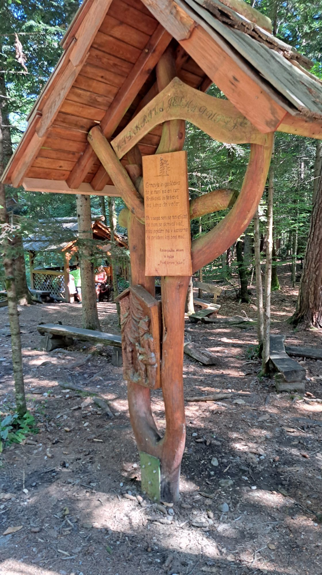
The third stage begins where the second one ended – at Pungert, a popular corner of the town on the rock. We walk along the already familiar route through town, past Prešerenov gaj, at Kosorep we follow the lively Kokra River all the way to Predoslje and from there we pass Park Brdo to the left. Just before the bus station, turn right, cross the bridge, and turn left at the partisan monument. After crossing the main road, we are quickly at the parking lot for Bobovška jezera (lakes), where to the left, past the information board about the protected nature area, we follow the path to the lakes with eloquent names. We walk past all the lakes and then left, through the village, we reach the main road again, on which we turn right and a little later turn right again past the school. At the roundabout, cross the road to the left and then follow the bike path to the right until you reach the unmarked entrance to the unique Udin boršt. The intertwining of many forest and shady paths will lead you, with the help of a GPX track, to the Race pond (in some places marked as the Želin pond). To the right, we rise slightly above the lake and soon we are at a partisan monument. We follow the GPX to Kriva jelka and further to the hamlet of Kamnjek. We leave the flat forest and macadam paths behind and head towards Golnik, where at its end we find the path to the hut ZavetišÄe v Gozdu, a popular starting point for Kriška gora. We have the only concrete climb of this stage ahead of us, with already a good 20 km of trail behind us. To continue towards TržiÄ, from the hut, we go down the road for a short time and pay attention to the mountain's red sign for TržiÄ, which invites us into the forest on the right. From here, about 1.5 hours separates us from arriving in TržiÄ, where shortly before the end of the journey we are greeted by a dragon that, according to legend, hatched from a rooster's egg. Before TIC TržiÄ, the longest of the stages ends.
Tak
Durable hiking shoes, clothing suitable for the weather, backpack with lunch, snacks and a sufficient amount of water and other drinks, hiking poles (if you use them), a telephone with a downloaded GPX trail. An additional portable battery (power bank) is also recommended if the phone may already have a bad battery.
Before you go:
Check the weather forecast. Especially in the summer, set out early enough to avoid the summer heat and afternoon thunderstorms. Inform someone close to you of your destination and departure time. Check that the length, gradient and time of the route correspond to your level of ability before setting off and do not overestimate your capacities.During your hike:
Follow the marked paths Take away your rubbish, do not light fires, be discreet so as not to frighten wild animals, and do not pick wildflowers or plants, a photo should be a sufficient souvenir.Highway:
Ljubljana–Jesenice – exit Kranj vzhod and drive towards the centre of Kranj.
There are several parking lots in Kranj, with different parking fee payment regimes.
The third stage of the Karavanke long distance hiking trail is the longest of all seven stages. The part through Udin boršt is a bit more demanding for orientation, so it is suggested to upload the GPX route on one of the hiking applications in advance, for use in "off-line" mode. The trail is also suitable for dogs. Due to the mostly flat terrain and the length of the route, the route is also suitable for listening to a podcast.
If the hut ZavetišÄe v Gozdu is open, this is almost the only place for refreshments. However, you can find some self-service shops even before that, in Kranj, Kokrica and Golnik. And then later in TržiÄ.
Popularne wycieczki w okolicy
-
4,4
Planina Prevala Hütte
średniWędrówka 8,93 km -
4,0
The Three Bridges Trail (Radovljica - Šobec - Lancovo - Radovljica)
światłoWędrówka 8,66 km -
Storžič
ciężkiWycieczki górskie 6,22 km -
4,8
Cerkev svetega Urha - Gostilna Tavčar - Begunje - Sveta Ana
ciężkiTrasa pielgrzymki 10,6 km -
Loiblpass and Seebergsattel
ciężkiDroga rowerowa 138,0 km -
5,0
Zavetišče v Gozdu - Tolsti vrh - Jircek - Vrh Vrata
średniWędrówka 9,62 km -
Panoramic route Javorov Vrh
światłoWędrówka 12,6 km -
5,0
Cycling route Zg. Jezersko - lookout point below Viševski hrib- Zg. Jezersko
średniMountainbike 17,4 km -
4,0
JULIANA TRAIL: stage 4 Begunje - Bled
światłoWędrówka 15,0 km -
St. Peter's Trail Begunje
światłoWędrówka 4,99 km
Wędrówki i tropienie


Nie przegap ofert i inspiracji na następne wakacje
Twój adres e-mail została dodana do listy mailingowej.





