






10 thousand steps of health FVG - CLAUZETTO AND VITO D'ASIO
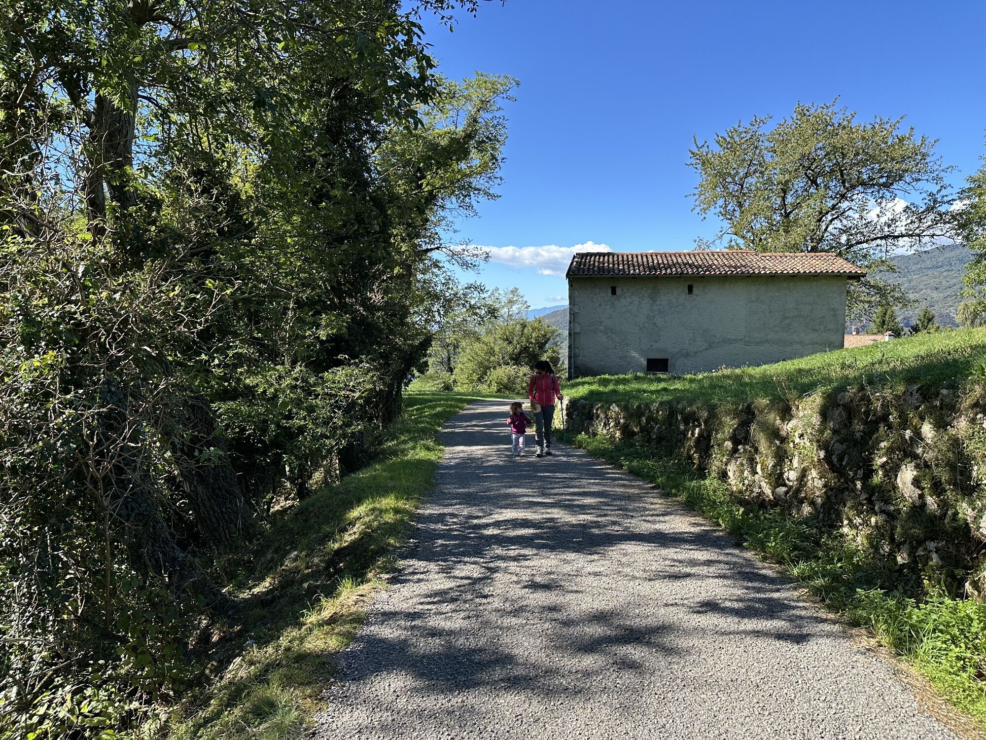
The route begins in Clauzetto, at the church of San Giacomo, and arrives in Vito d'Asio.
After about 500 meters you pass through a wide stony area affected in 1914 by a disastrous landslide. Halfway along...
The route begins in Clauzetto, at the church of San Giacomo, and arrives in Vito d'Asio.
After about 500 meters you pass through a wide stony area affected in 1914 by a disastrous landslide. Halfway along the route, the Pieve di San Martino is encountered. The arrival in Vito d'Asio is at the Church of San Michele Arcangelo.
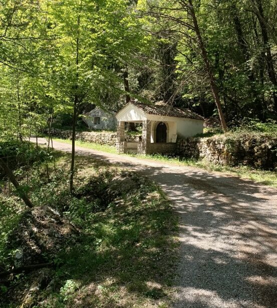
The route is immersed in wooded nature. For about 1 km it has a course that alternates short uphill and downhill stretches with flat stretches. After the parish church, you enter a path bordered by characteristic dry-stone walls.
The route can be closed as a loop by climbing to the Mont di Vit locality passing near the Monument to the Alpini and continuing to the Zuaniers locality, then descending to Clauzetto (7.65 km). Alternatively, it is possible to choose whether to return along SP22 (2.10 km), or along the old path from Zancans Street up to Triviat locality (1.75 km).


Tak
Popularne wycieczki w okolicy
- 4,8
Monte Cuar loop
średniWędrówka 7,26 km - 4,8
Brancot, Palantarins e Tre Corni da Braulins
średniWędrówka 8 km PATH OF THE POZZE SMERALDINE
światłoWędrówka 6,77 km- 5,0
Monte Prat loop from Cornino
średniWędrówka 15,2 km Loop of Monte di Ragogna
średniWędrówka 11,9 kmPalcoda i Tamar, opuszczone wioski
średniWędrówka 8,38 kmFrom Sella Chianzutan to Colle dei Larici, the route of red marble
średniWędrówka 10,5 kmParenzana Extended
średniMountainbike 422,0 kmPierścień San Daniele del Friuli (R007)
średniKolarstwo długodystansowe 31,4 kmMonte Valinis loop from Sottomonte
średniWędrówka 8,41 km
Wędrówki i tropienie


Nie przegap ofert i inspiracji na następne wakacje
Twój adres e-mail została dodana do listy mailingowej.





