







Lago Volaia

Poziom trudności: T2
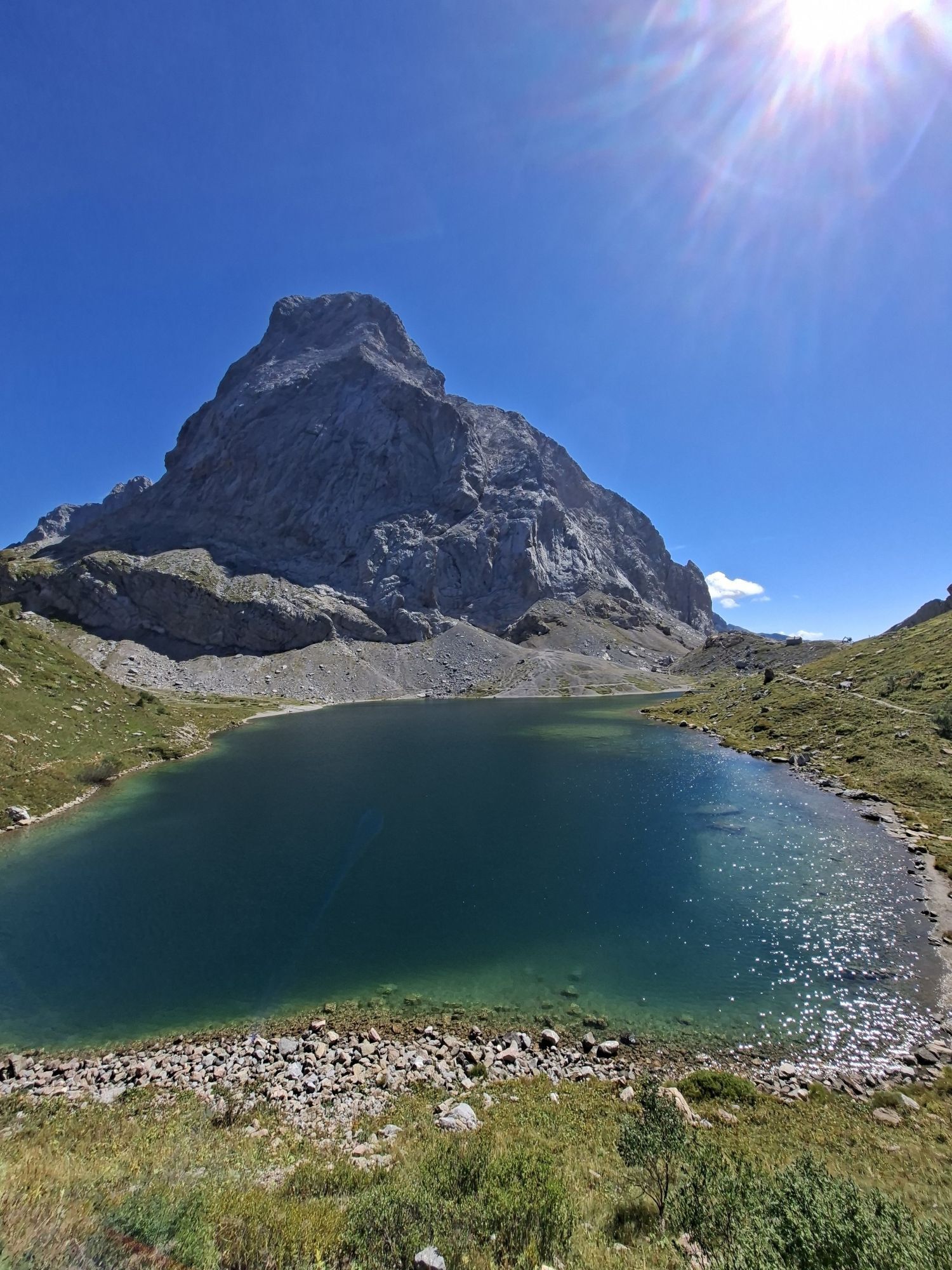
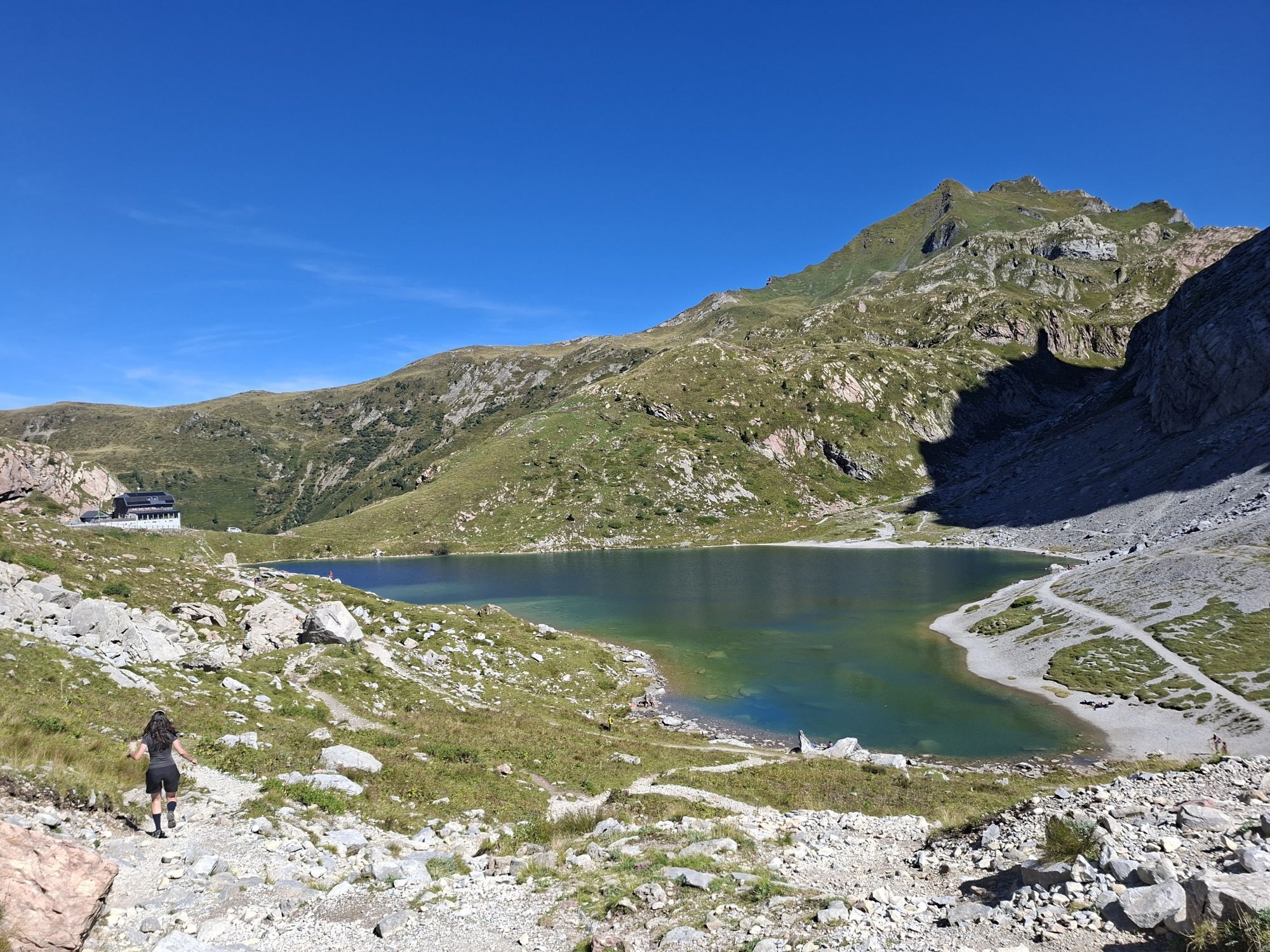
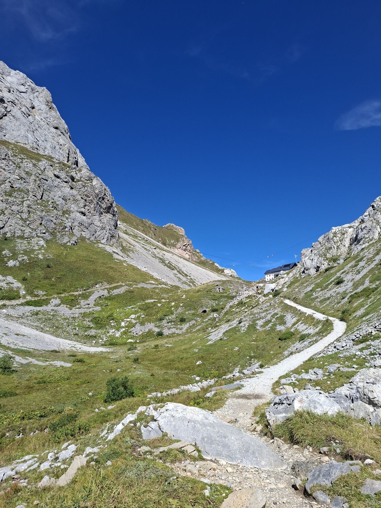
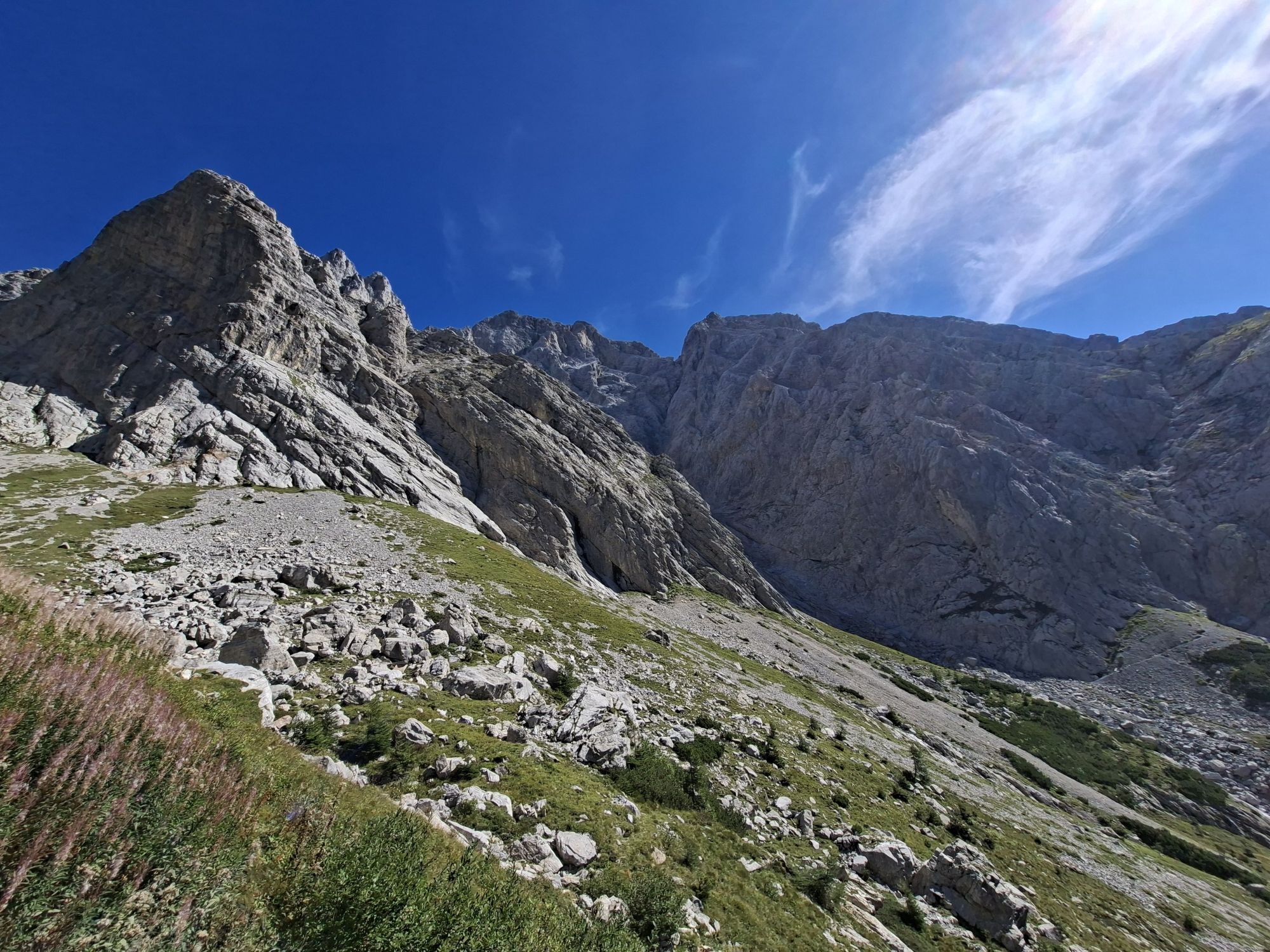
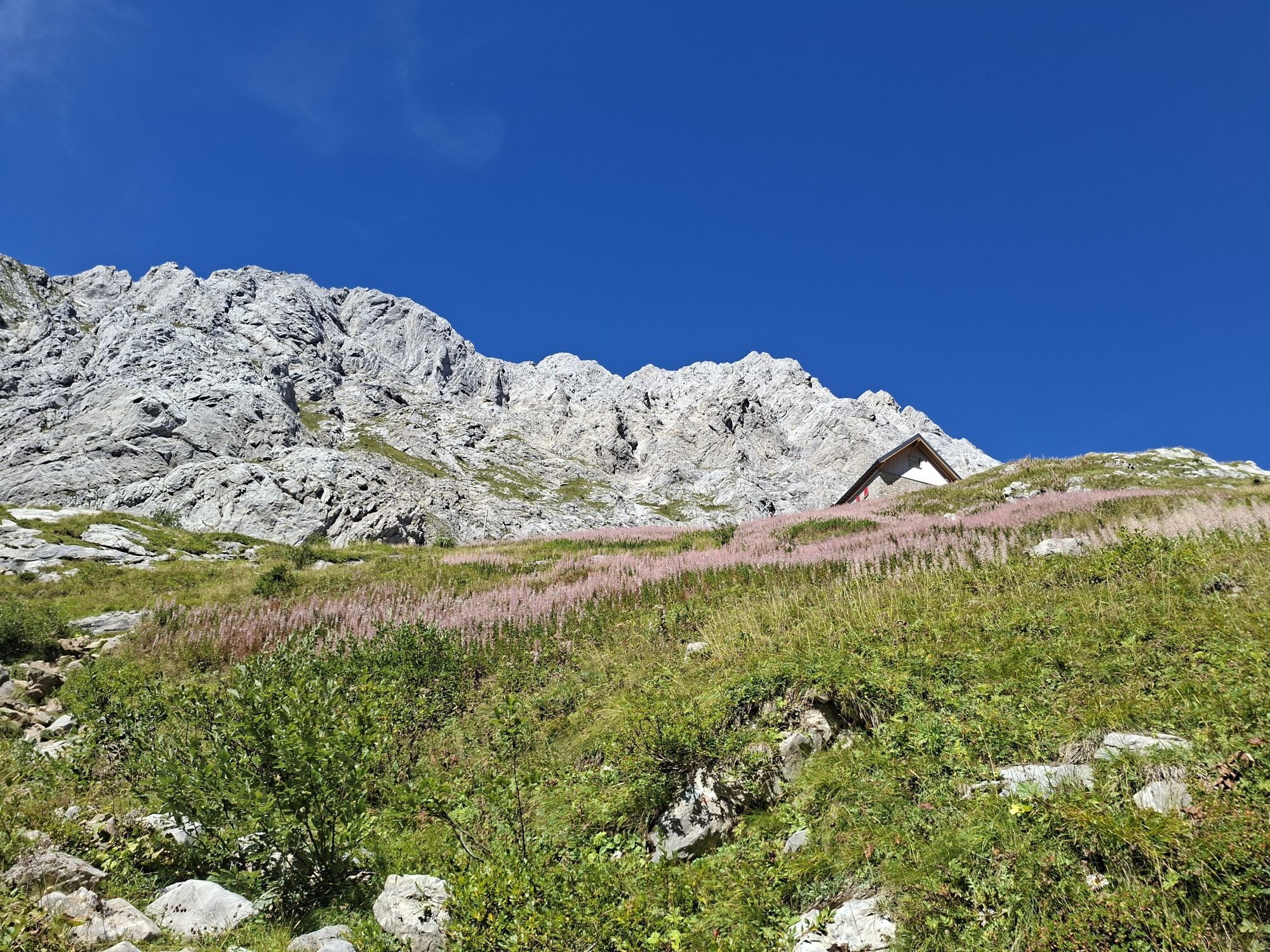
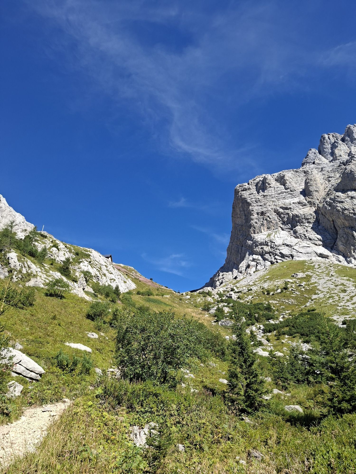
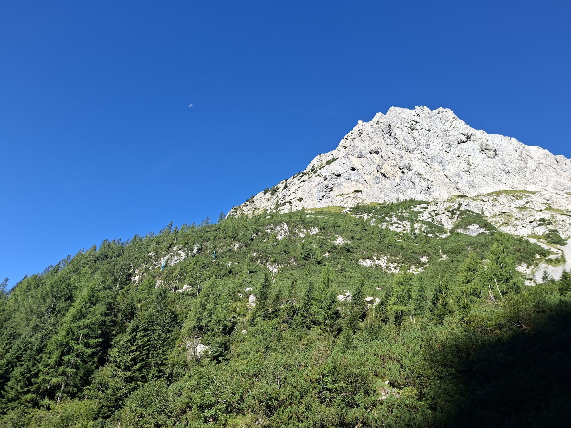
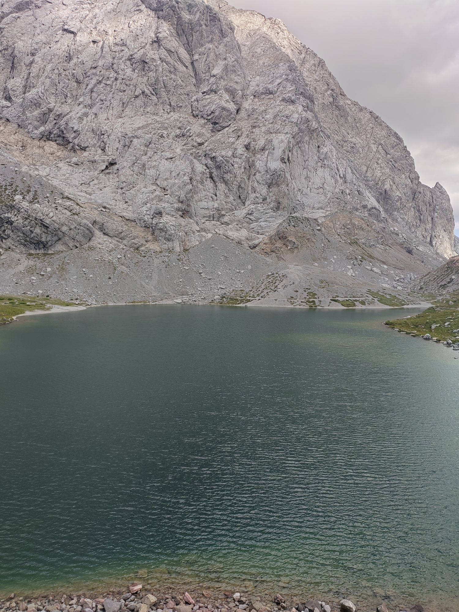
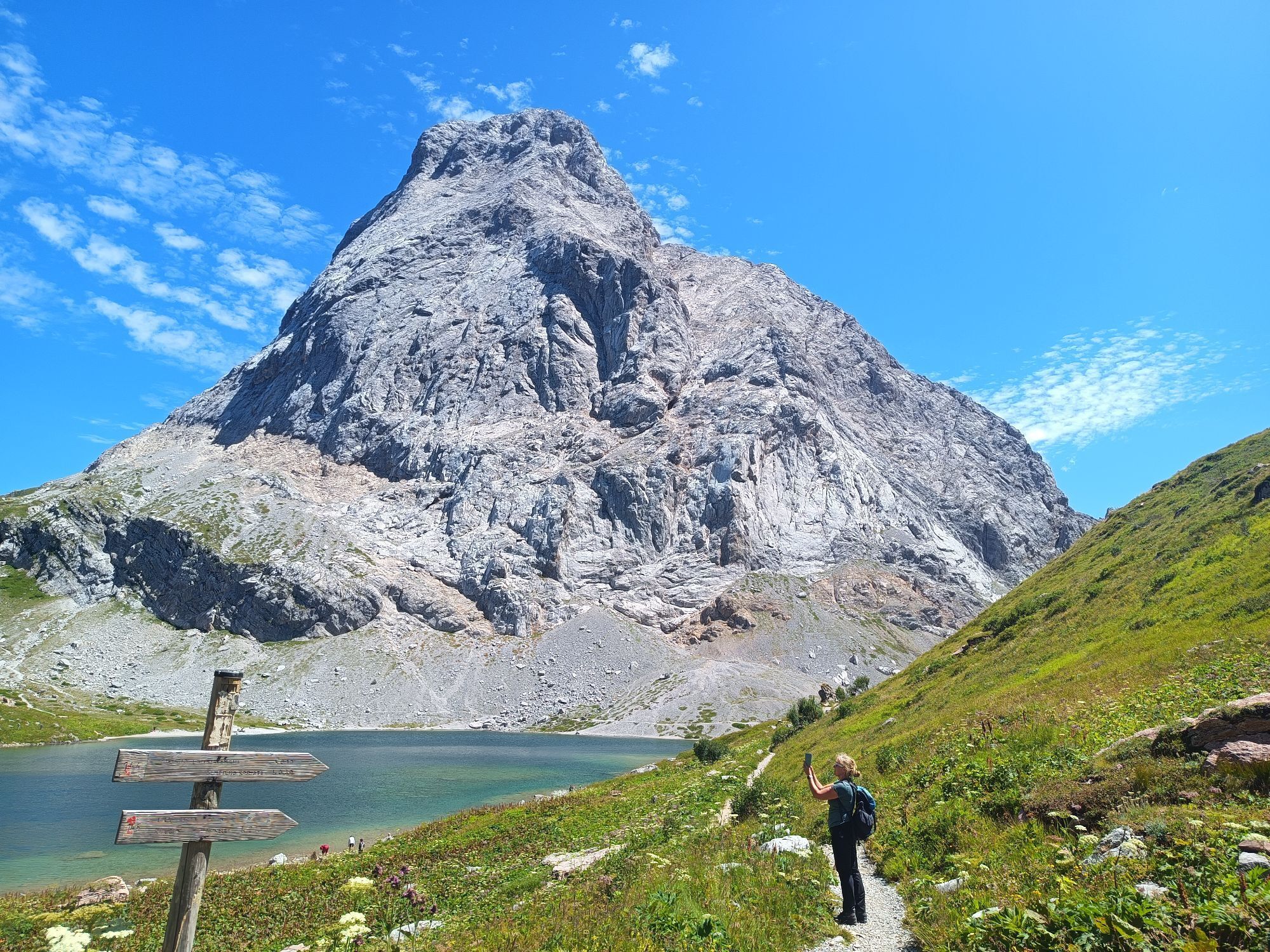
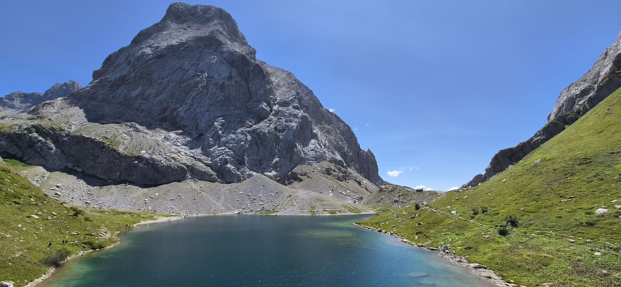
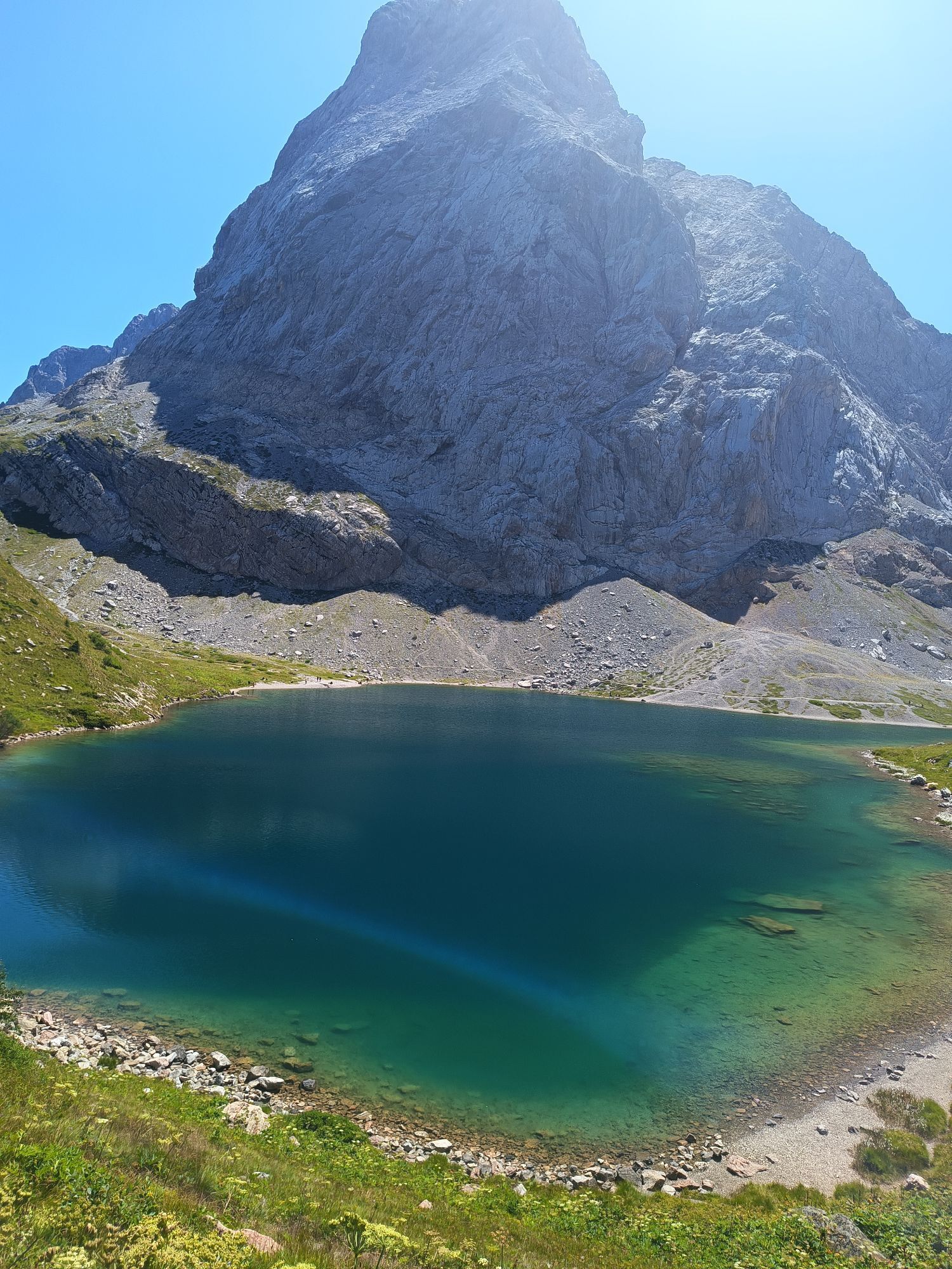
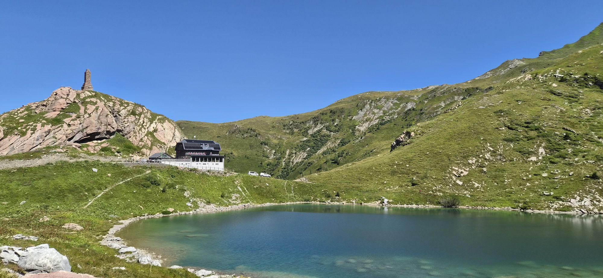
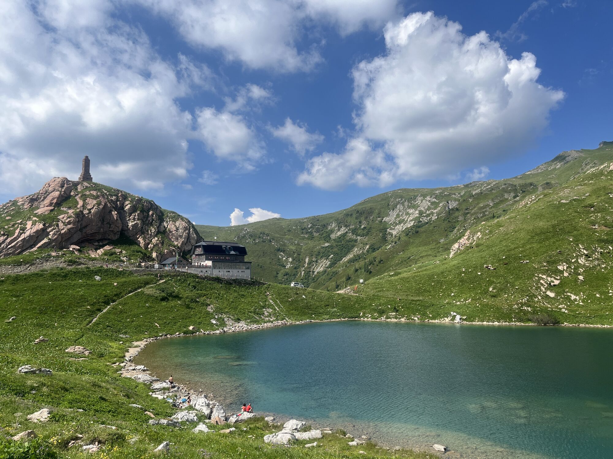
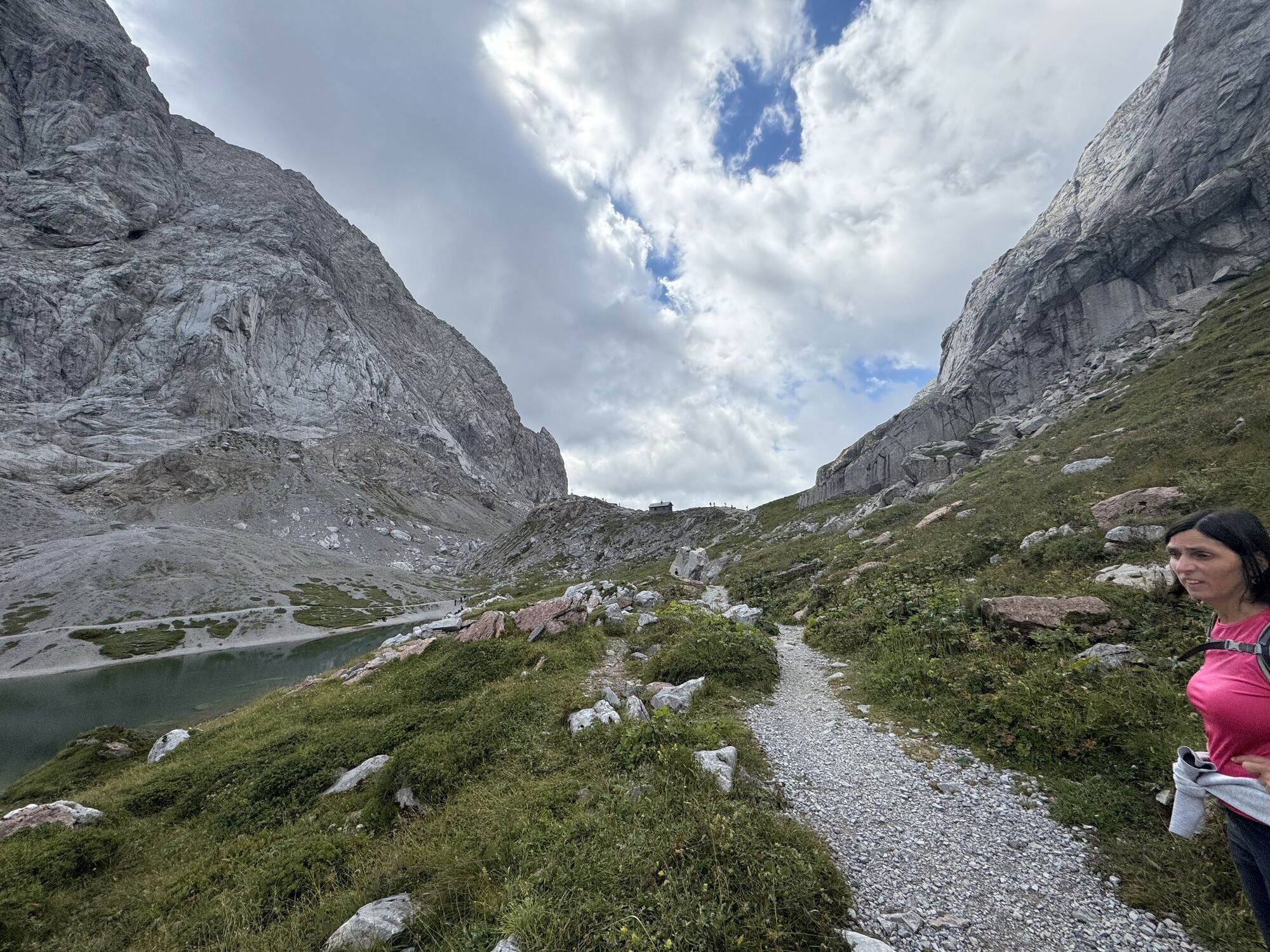
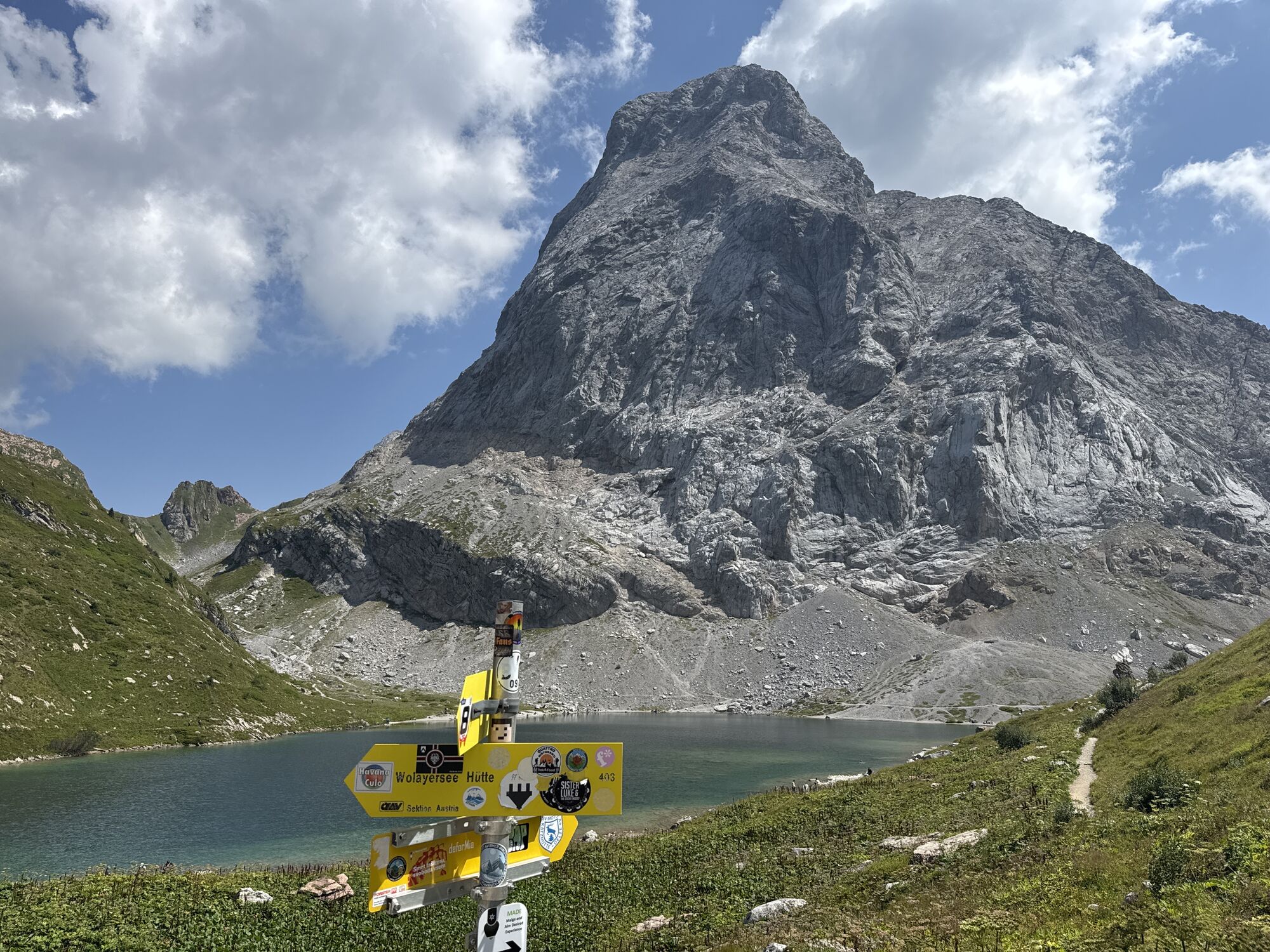
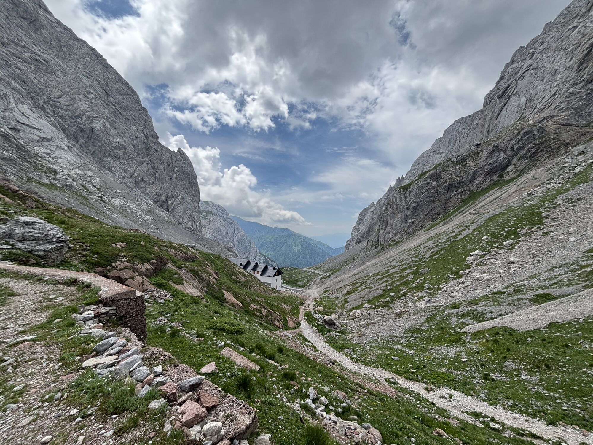
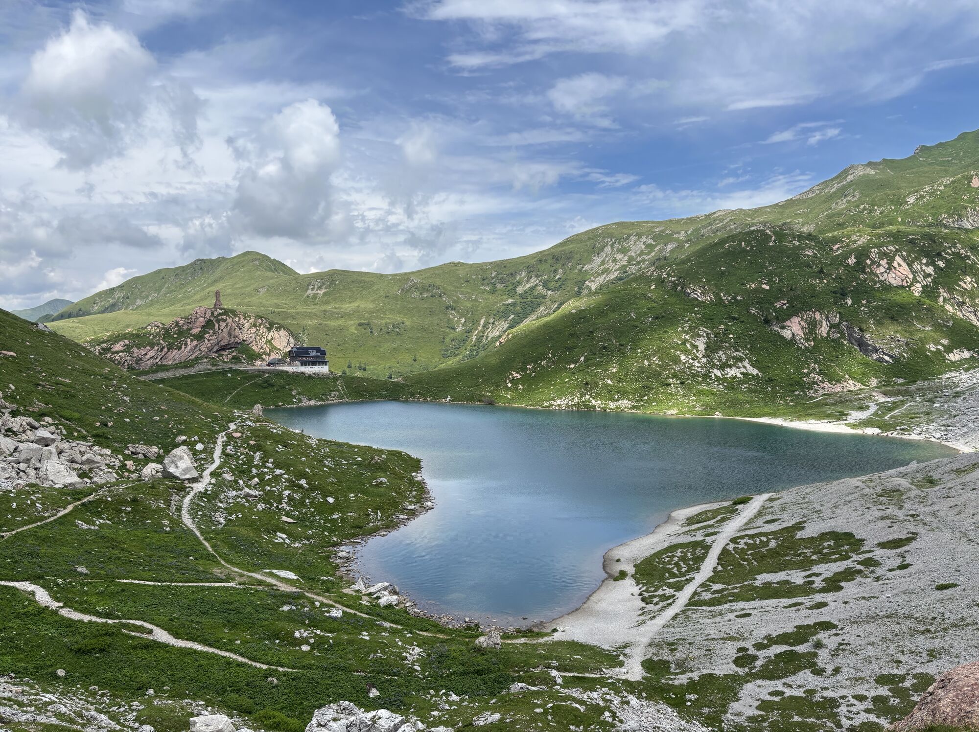
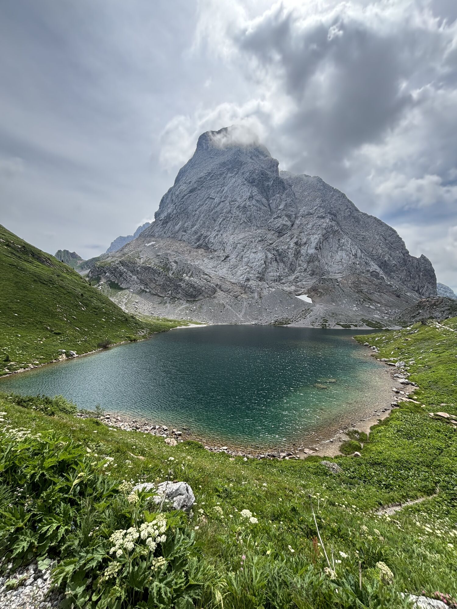
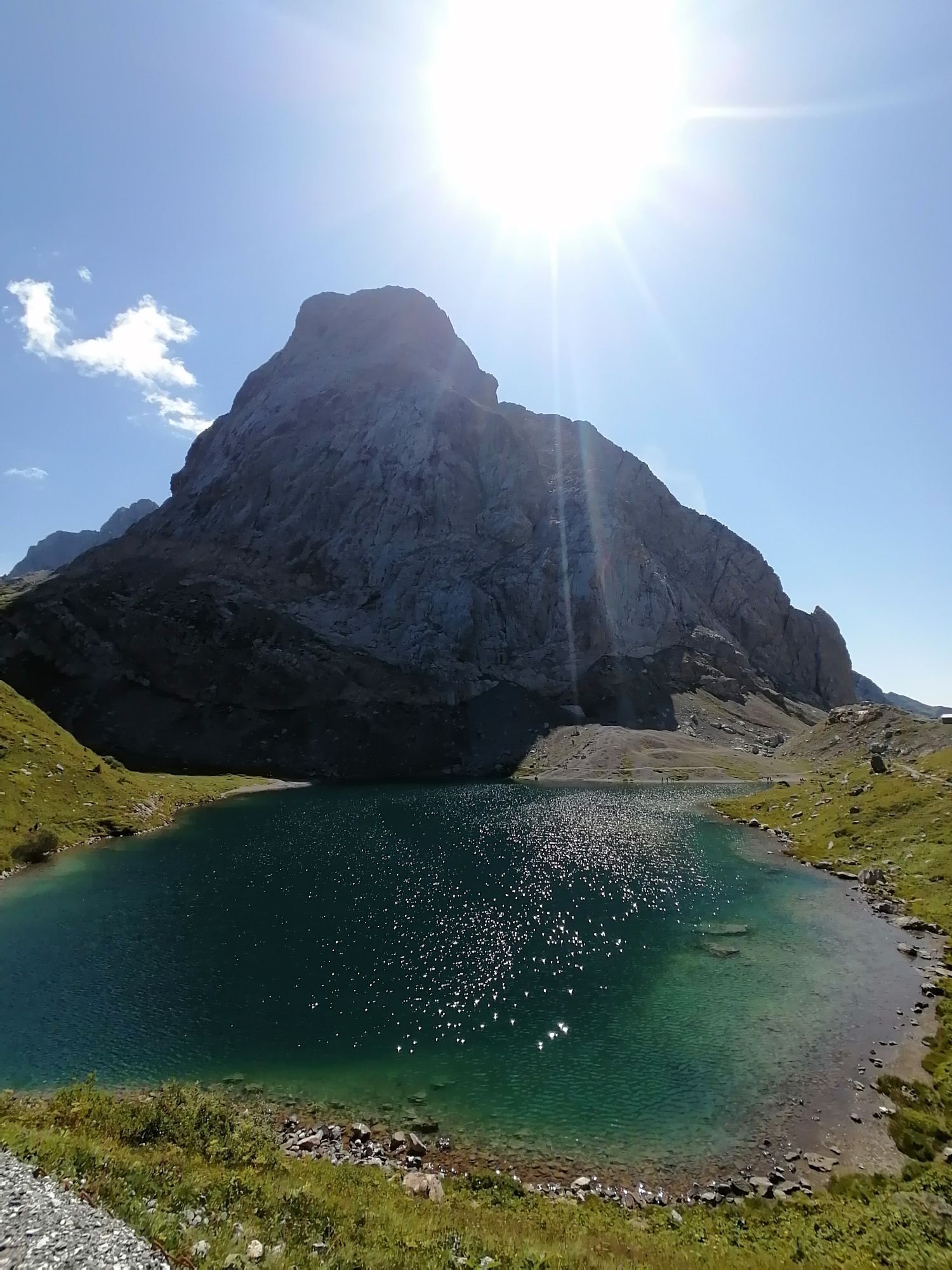
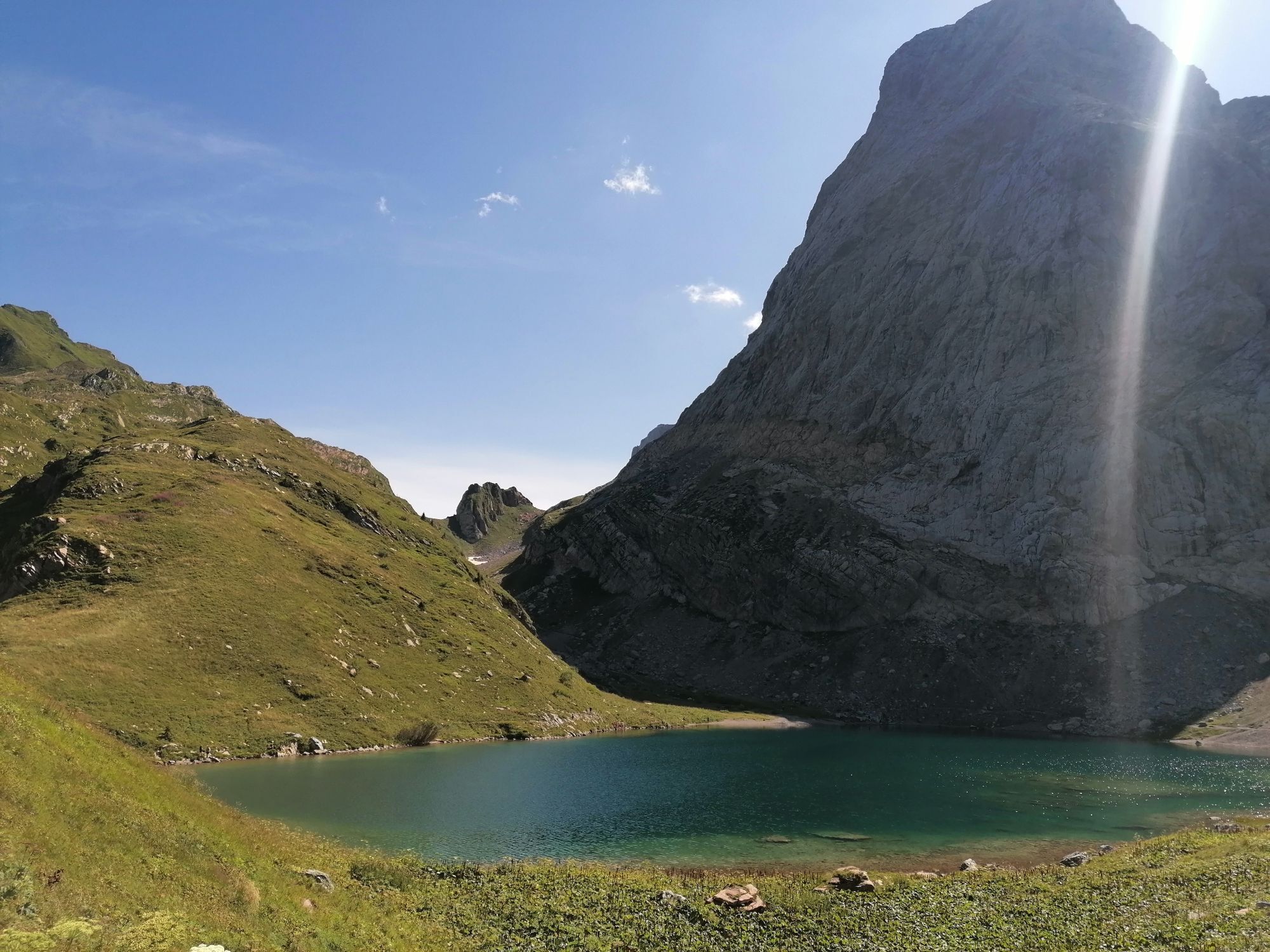
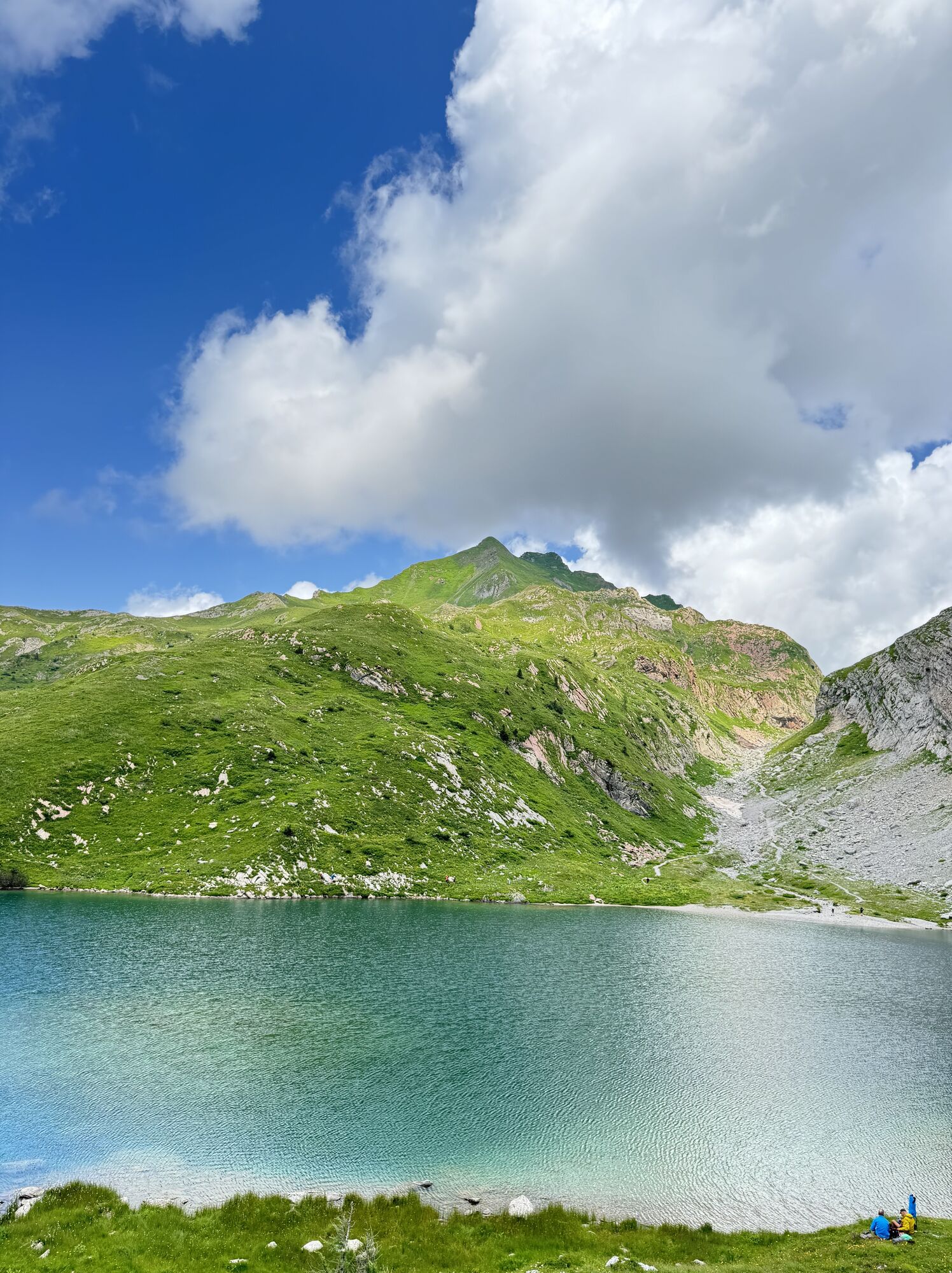
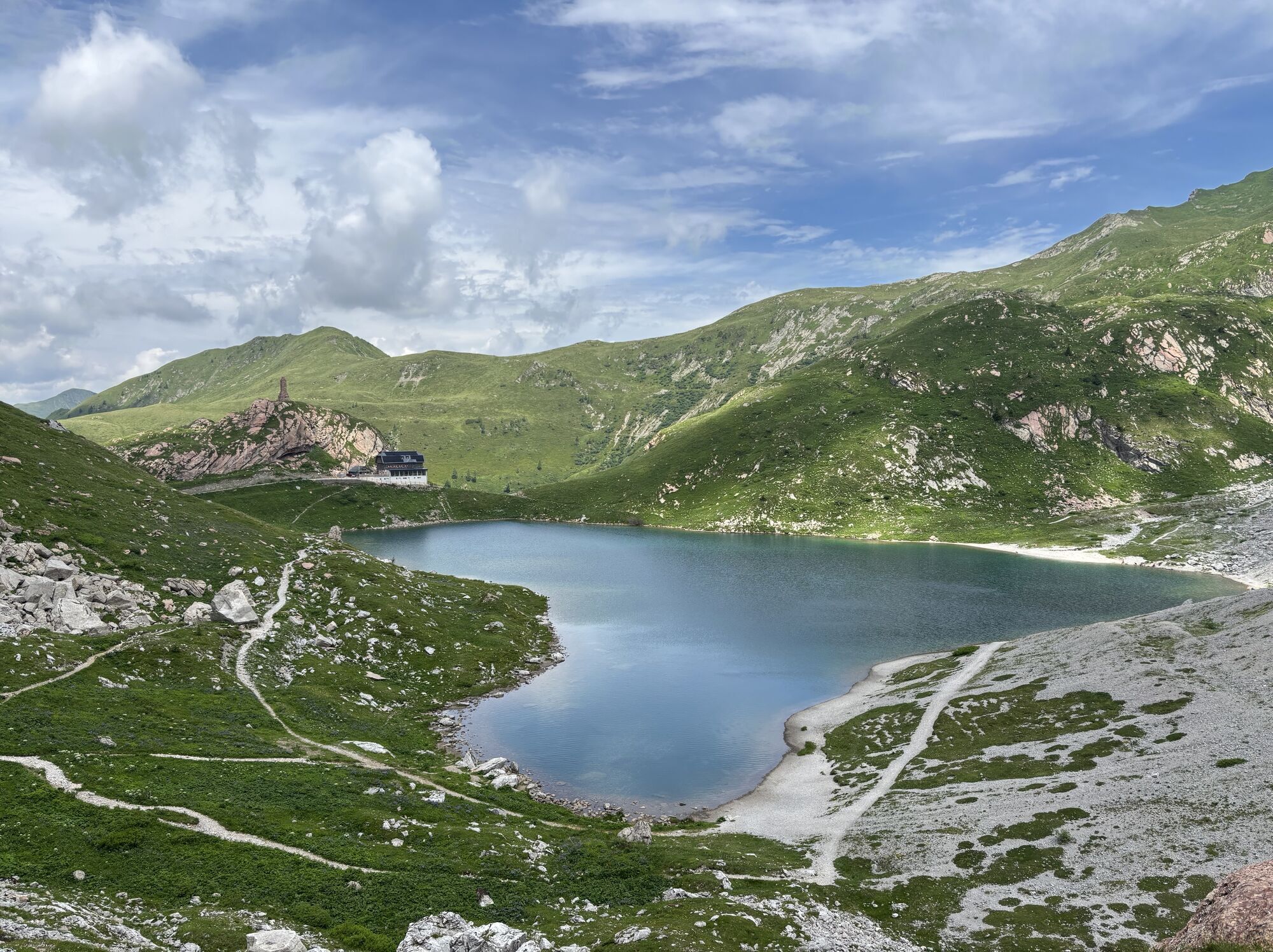
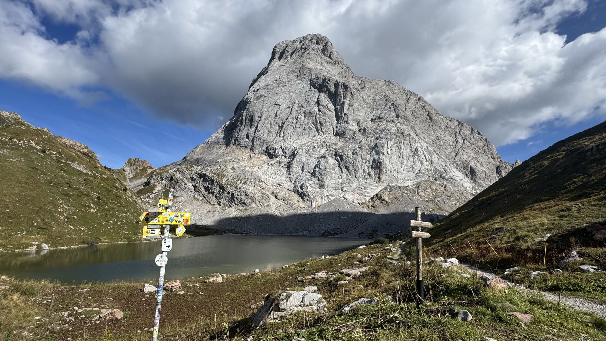
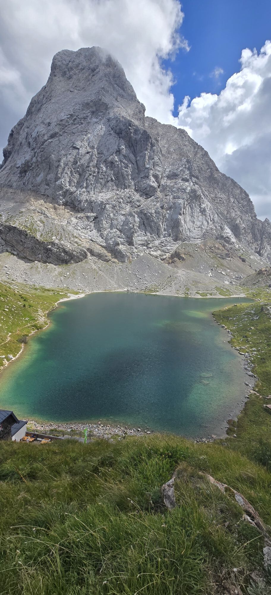
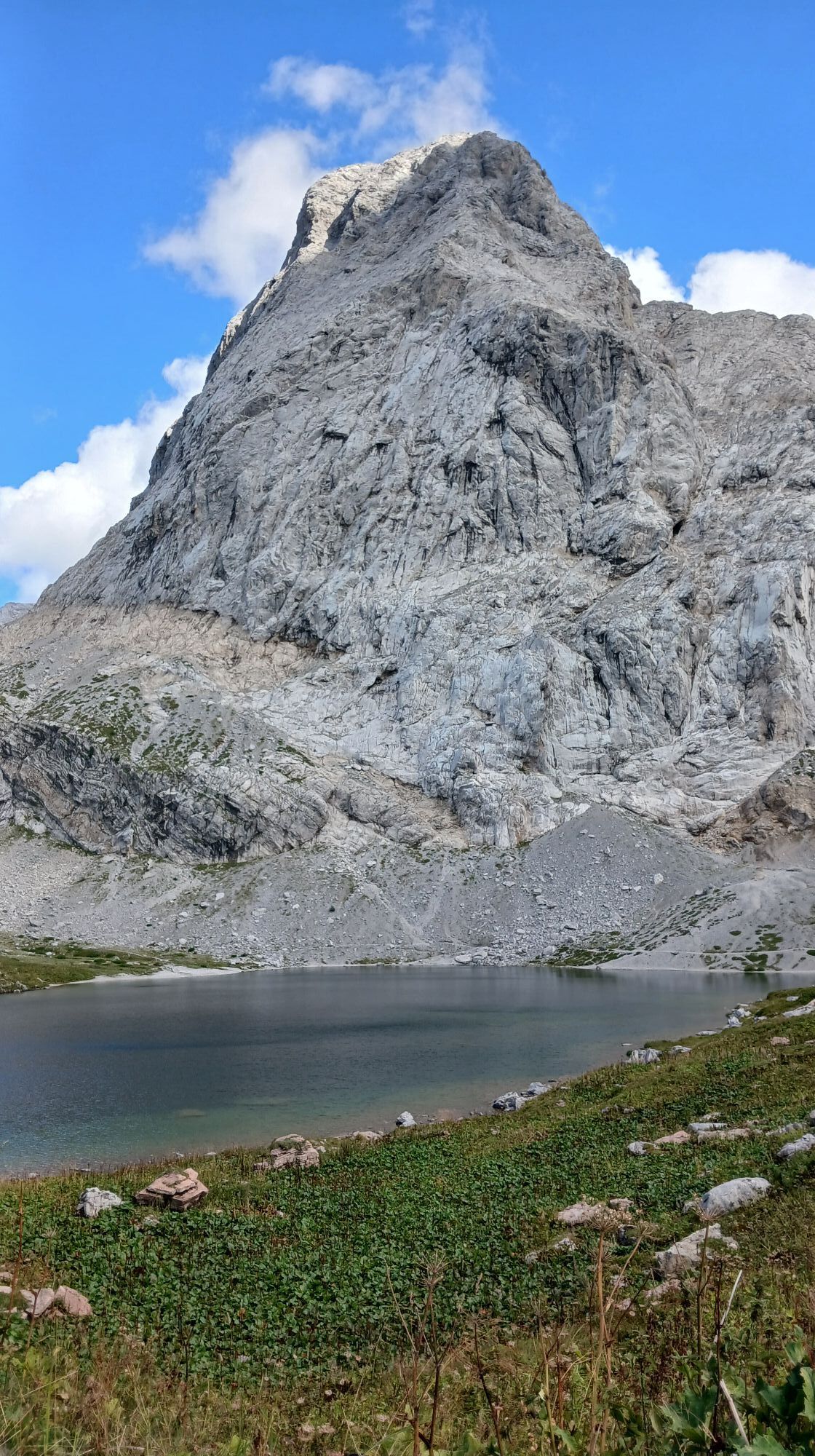
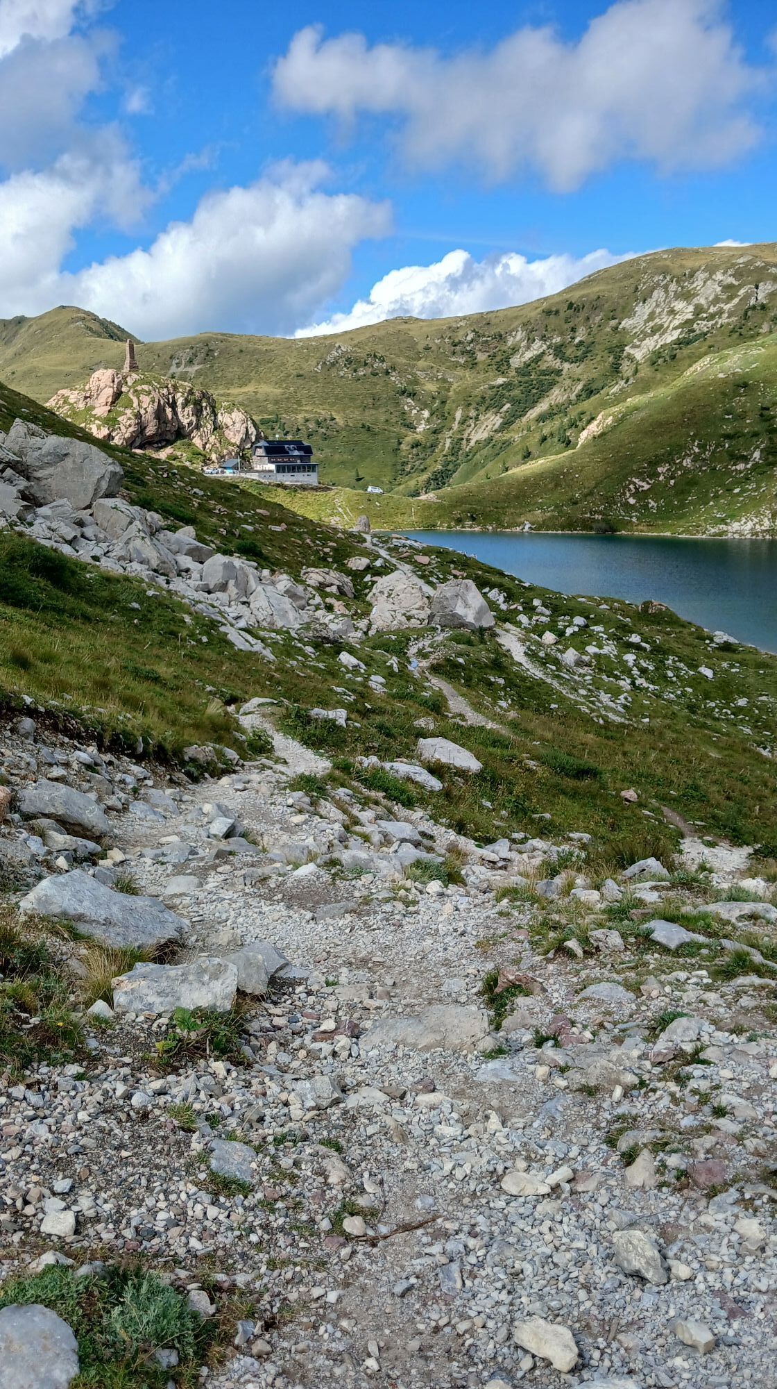
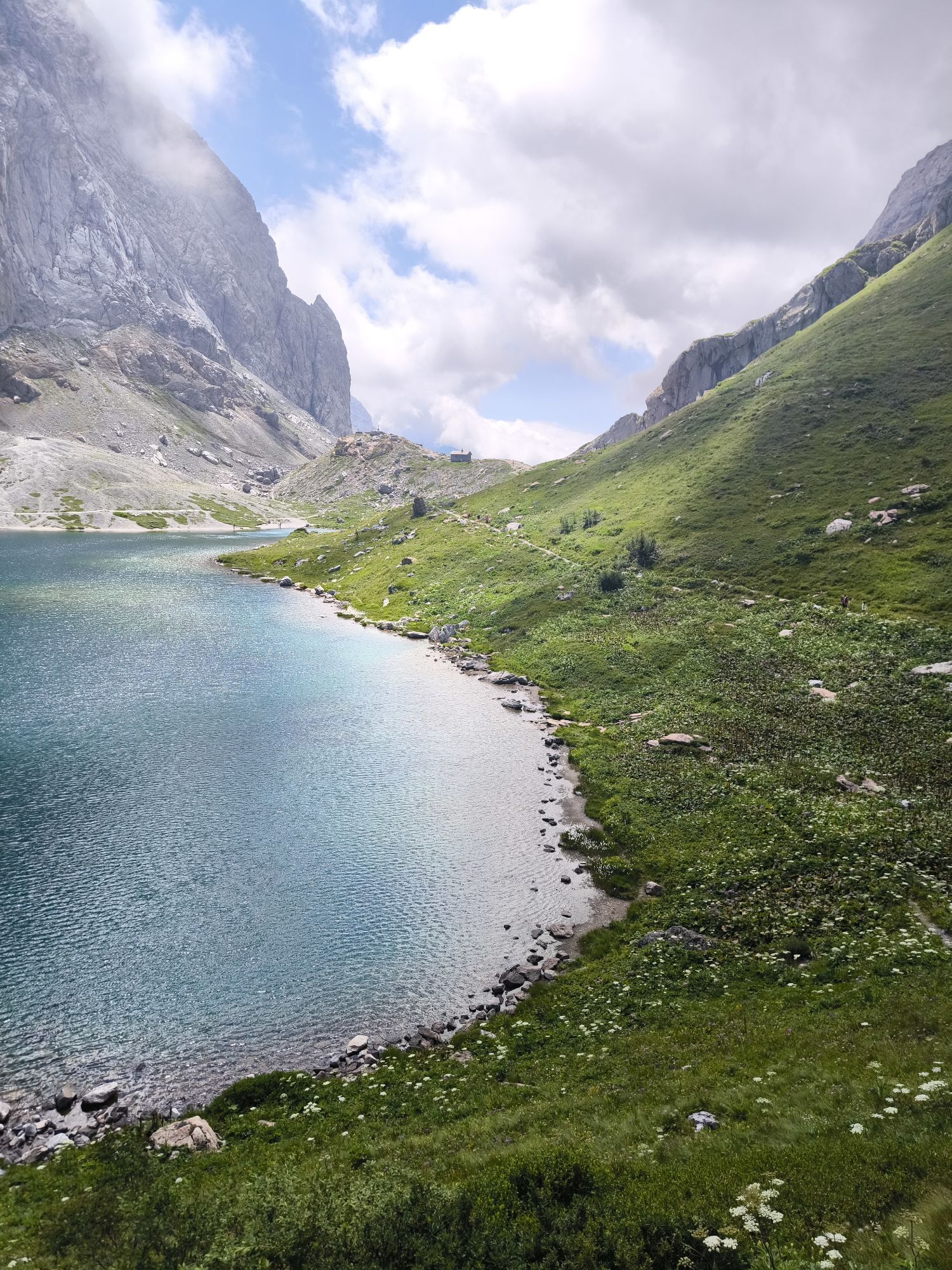
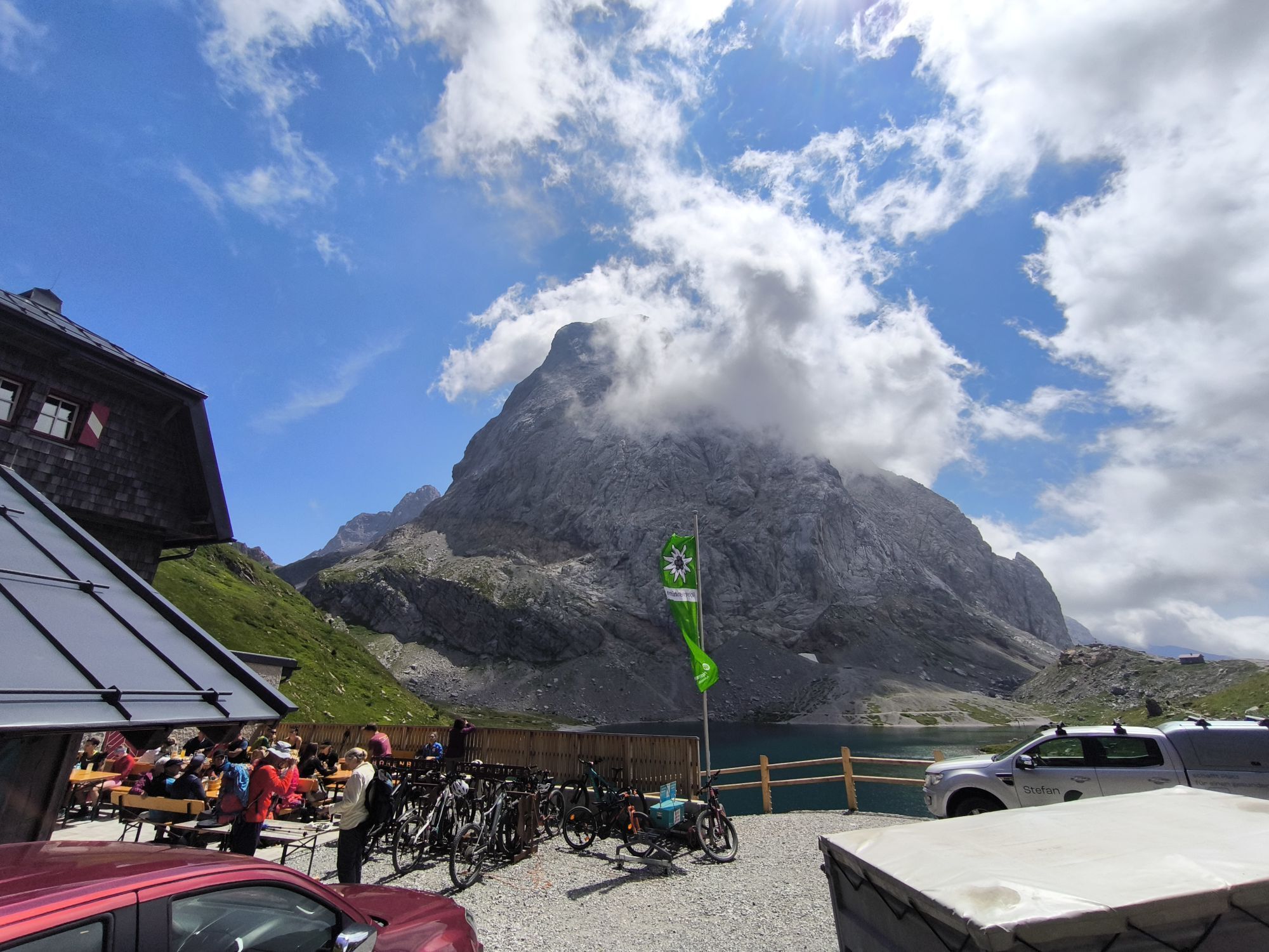

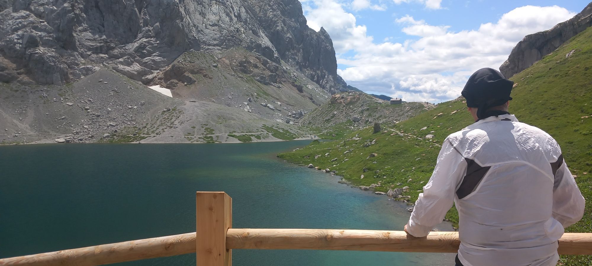
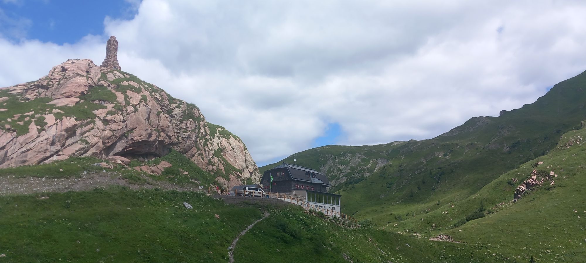
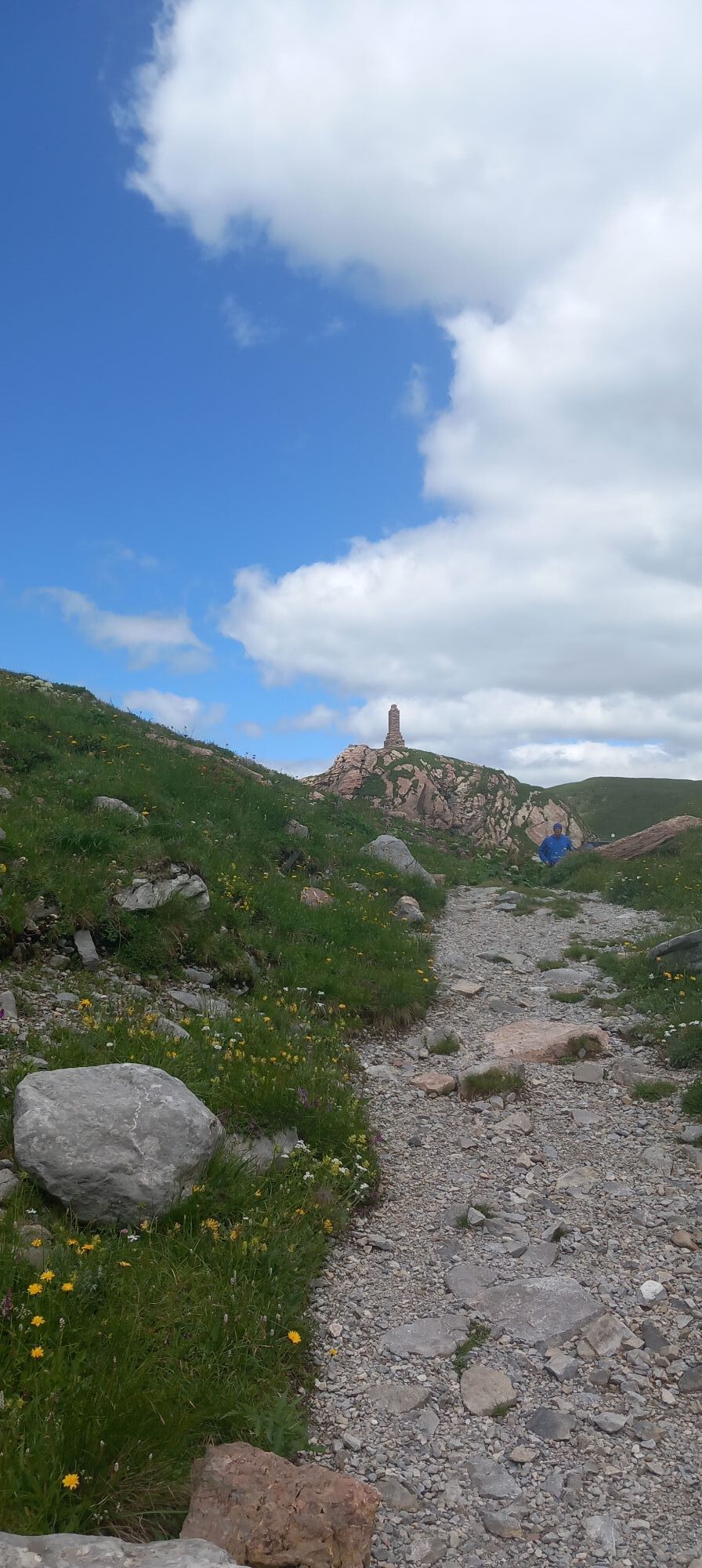
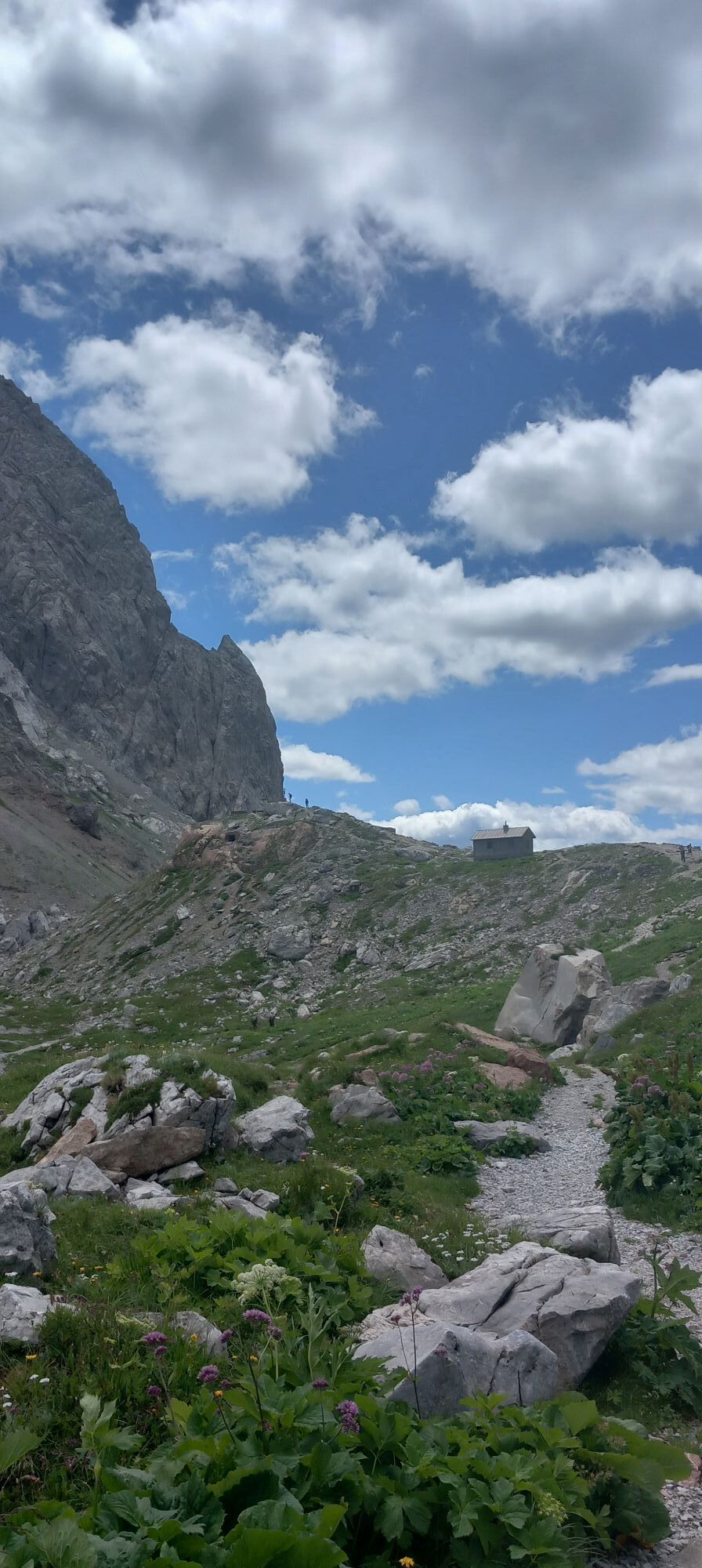
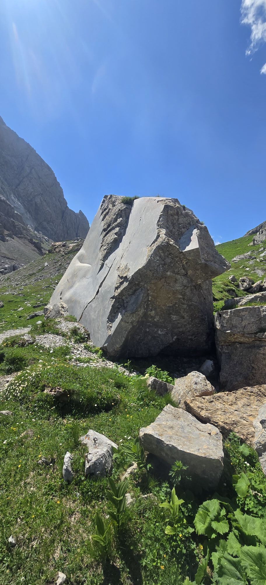
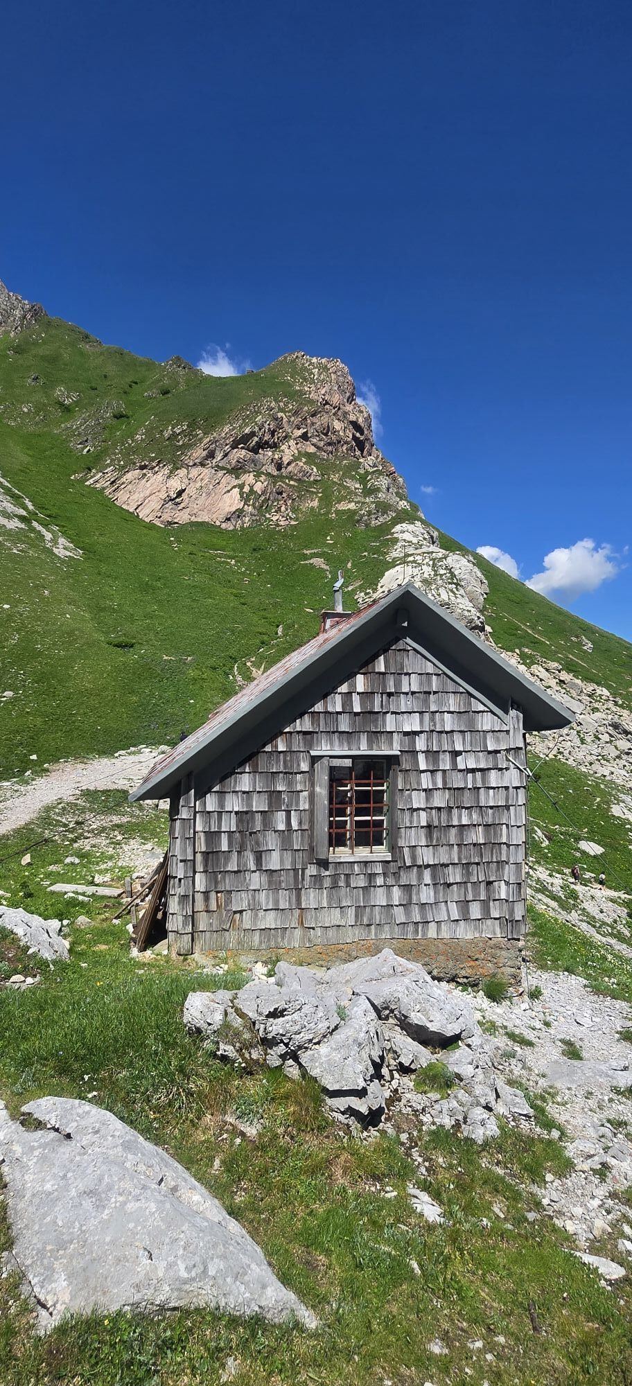

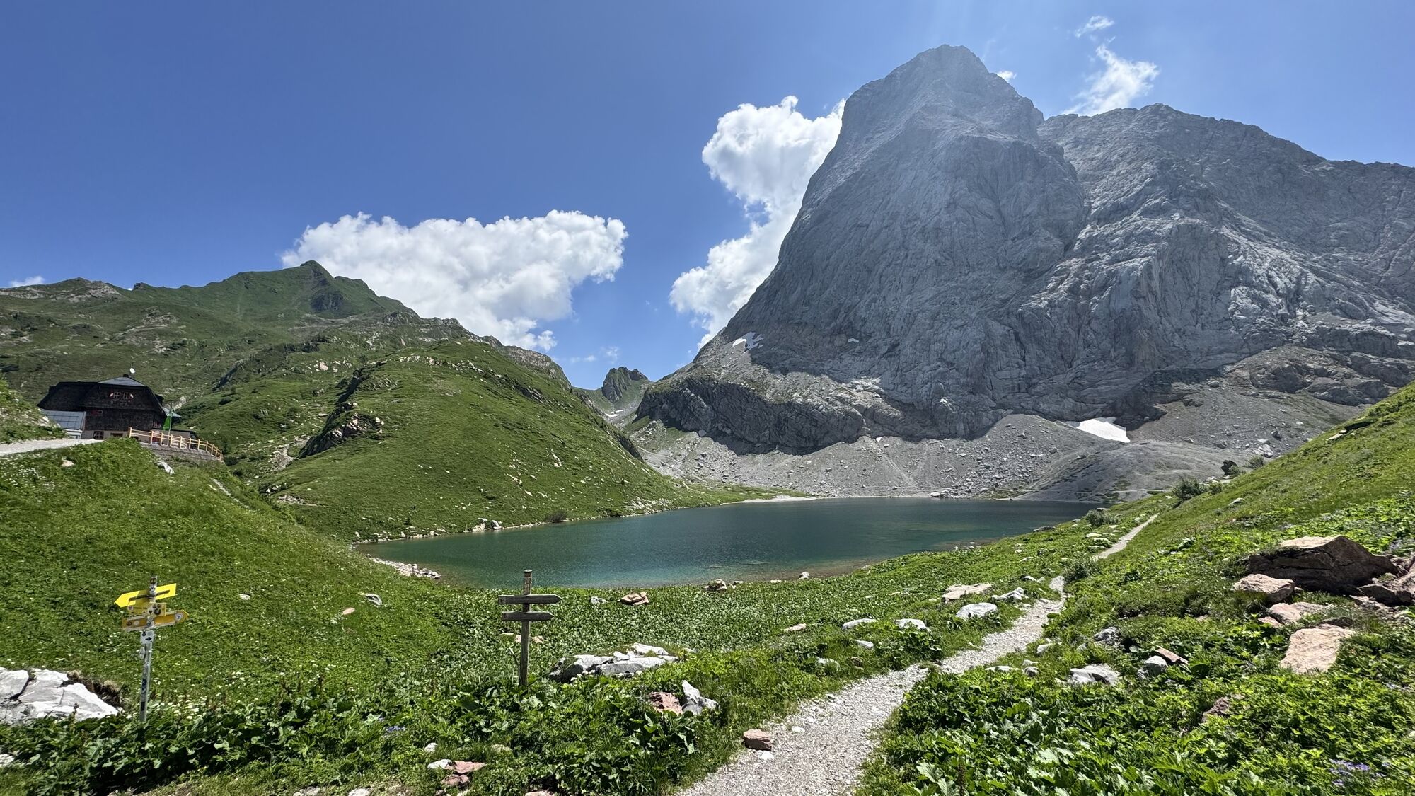
At the foot of the M.te Coglians massif, the oldest "cliff" in Europe.
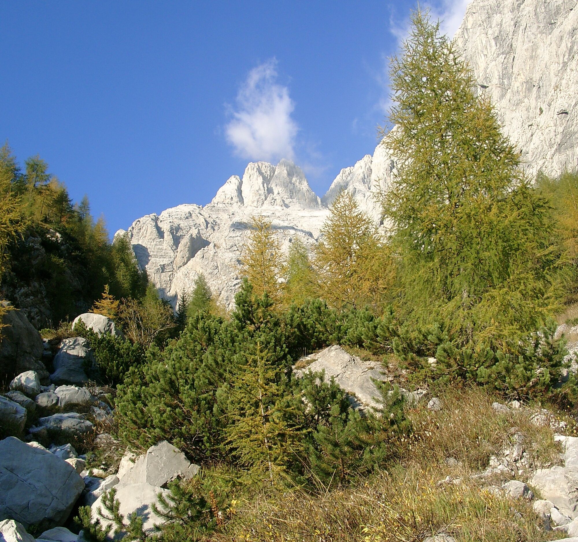
The most spectacular evidence of the largest Paleozoic "organogenic cliff" still visible in Europe today is displayed here along the...
At the foot of the M.te Coglians massif, the oldest "cliff" in Europe.
The most spectacular evidence of the largest Paleozoic "organogenic cliff" still visible in Europe today is displayed here along the slopes overlooking the enchanting Lago Volaia.
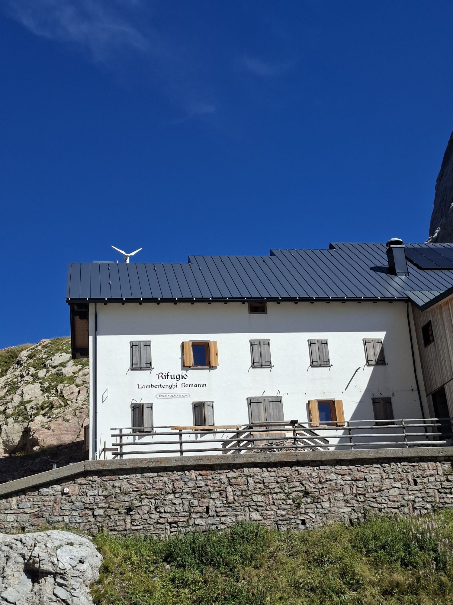
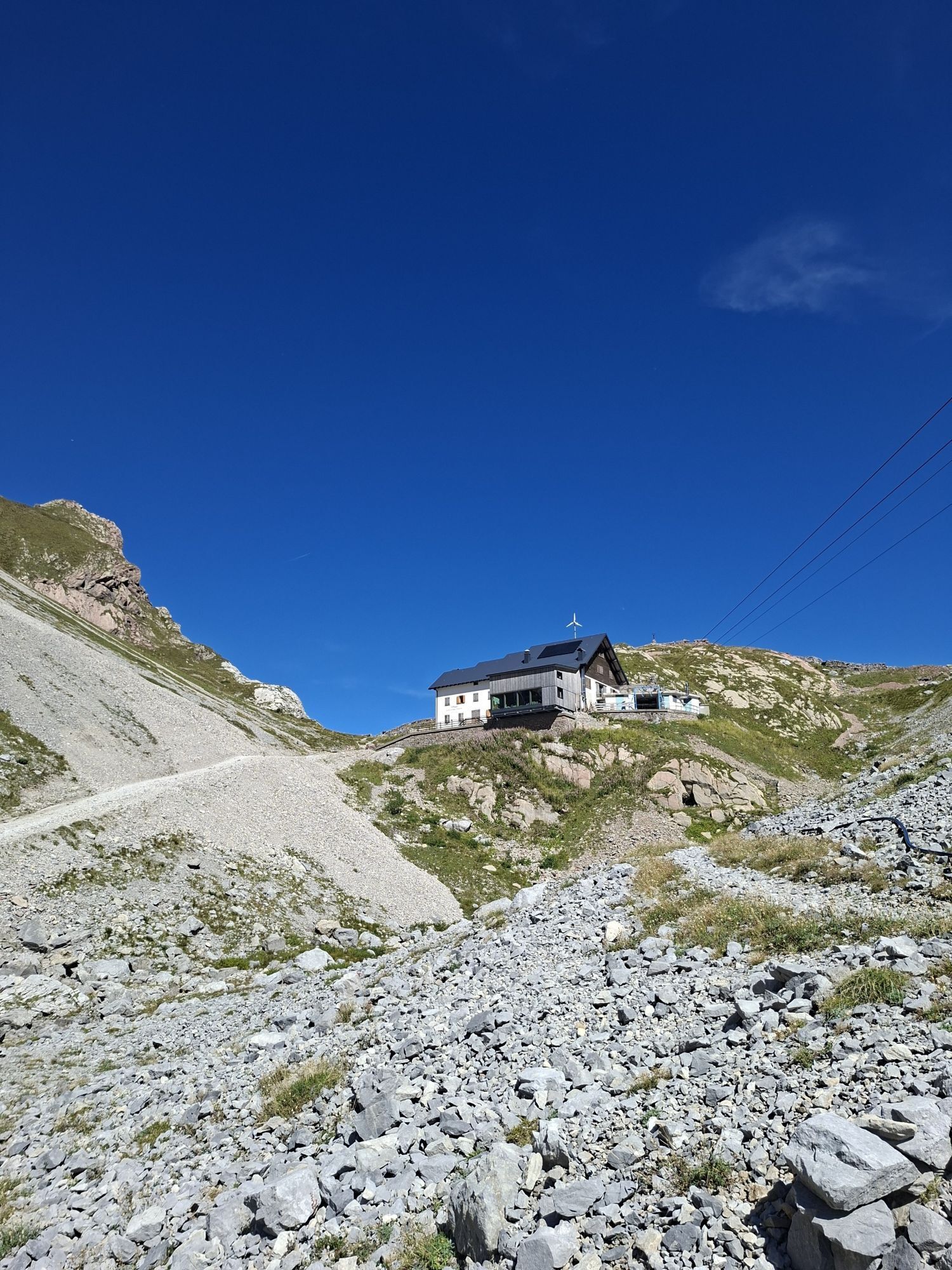
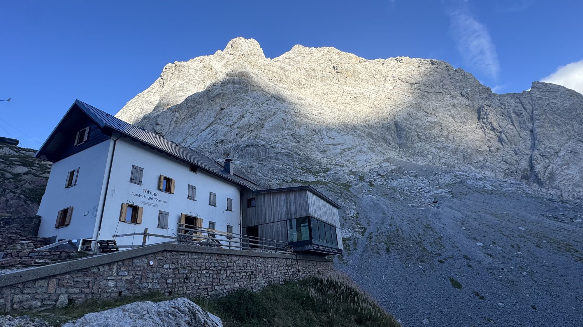
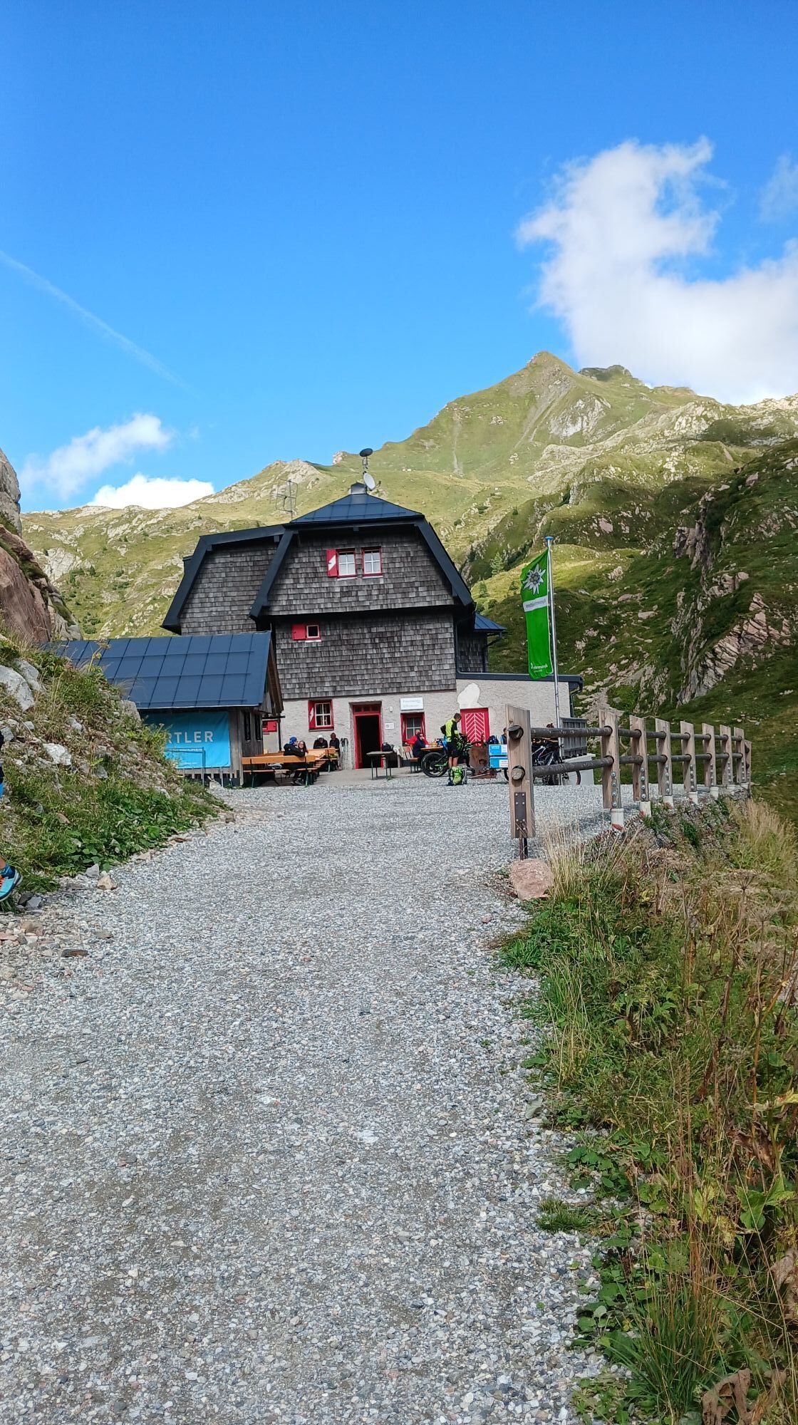
The route (CAI 144) forms the shortest link to the Passo Volaia area, an important hub of the trail network which is part of the "Carnic Traverse." Close to the Pass are located the Rifugio Lambertenghi Romanin on the Italian side and the Rifugio Wolaiersee-Hutte beyond the border.
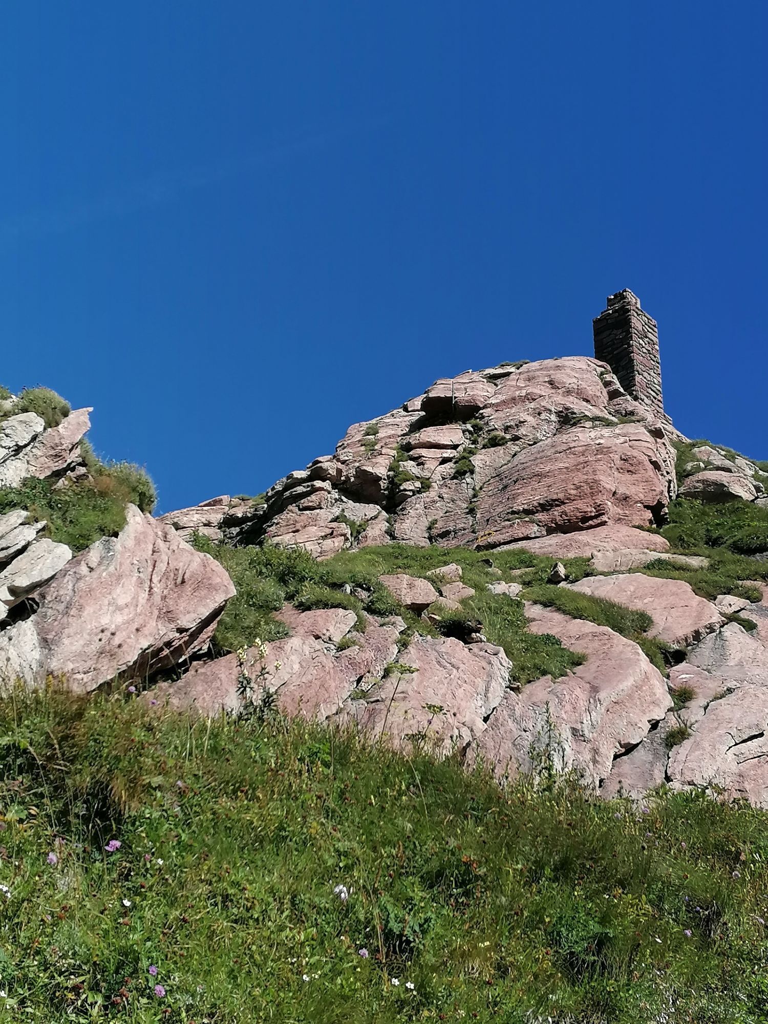
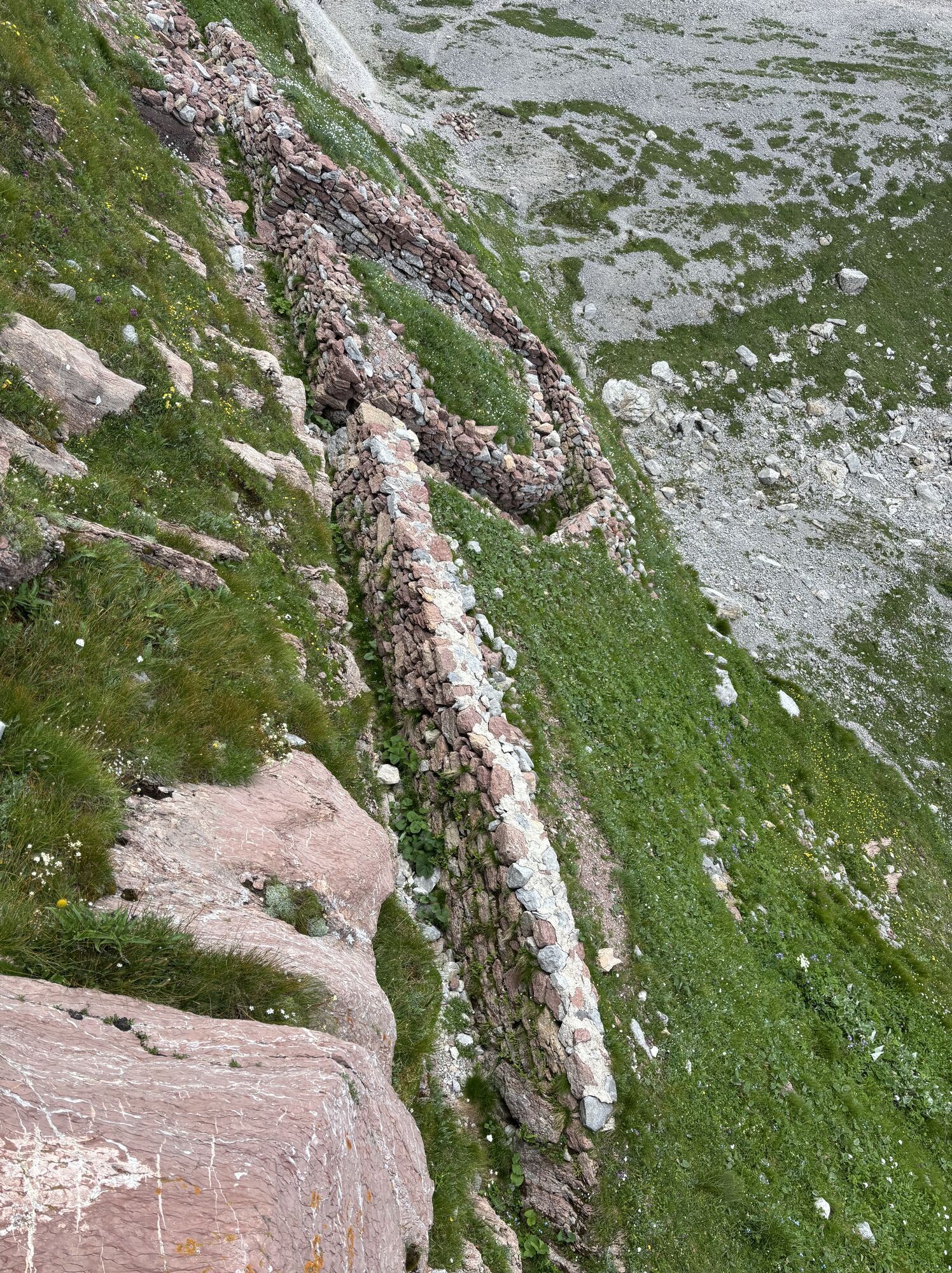
Additional points of interest come from the presence nearby of remains of Great War fortifications, a true "open-air museum" featuring trenches, machine gun posts, heavy artillery pieces, shelters, and tunnels.

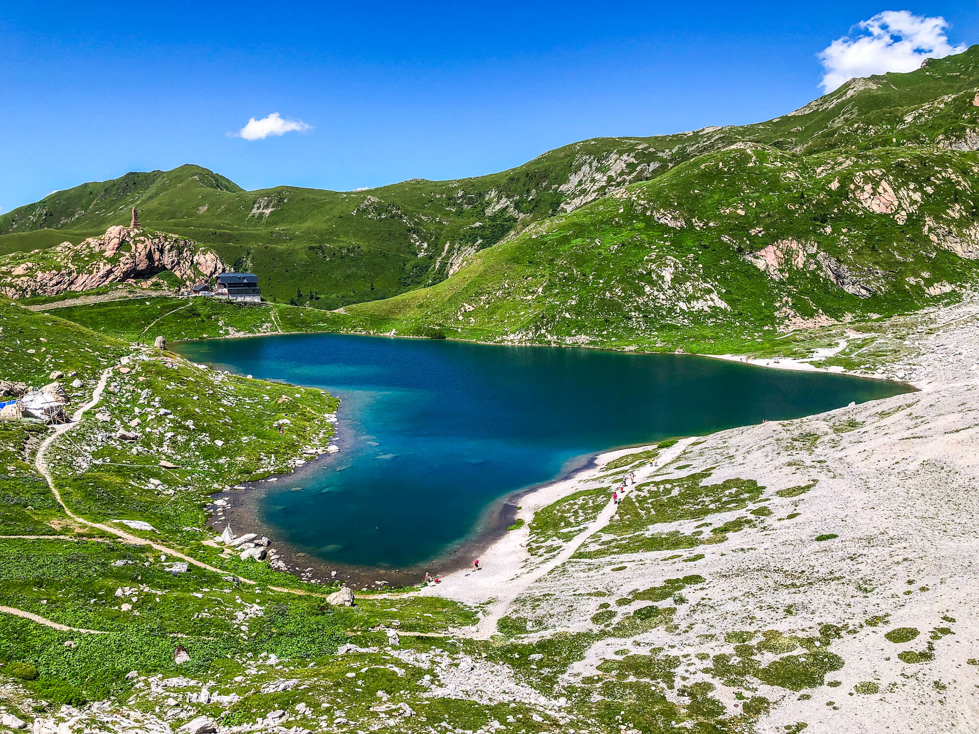
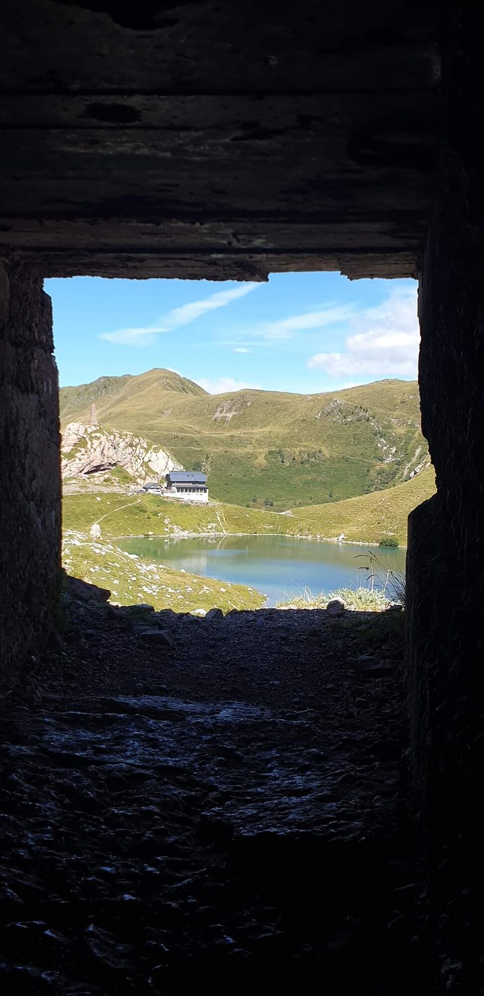
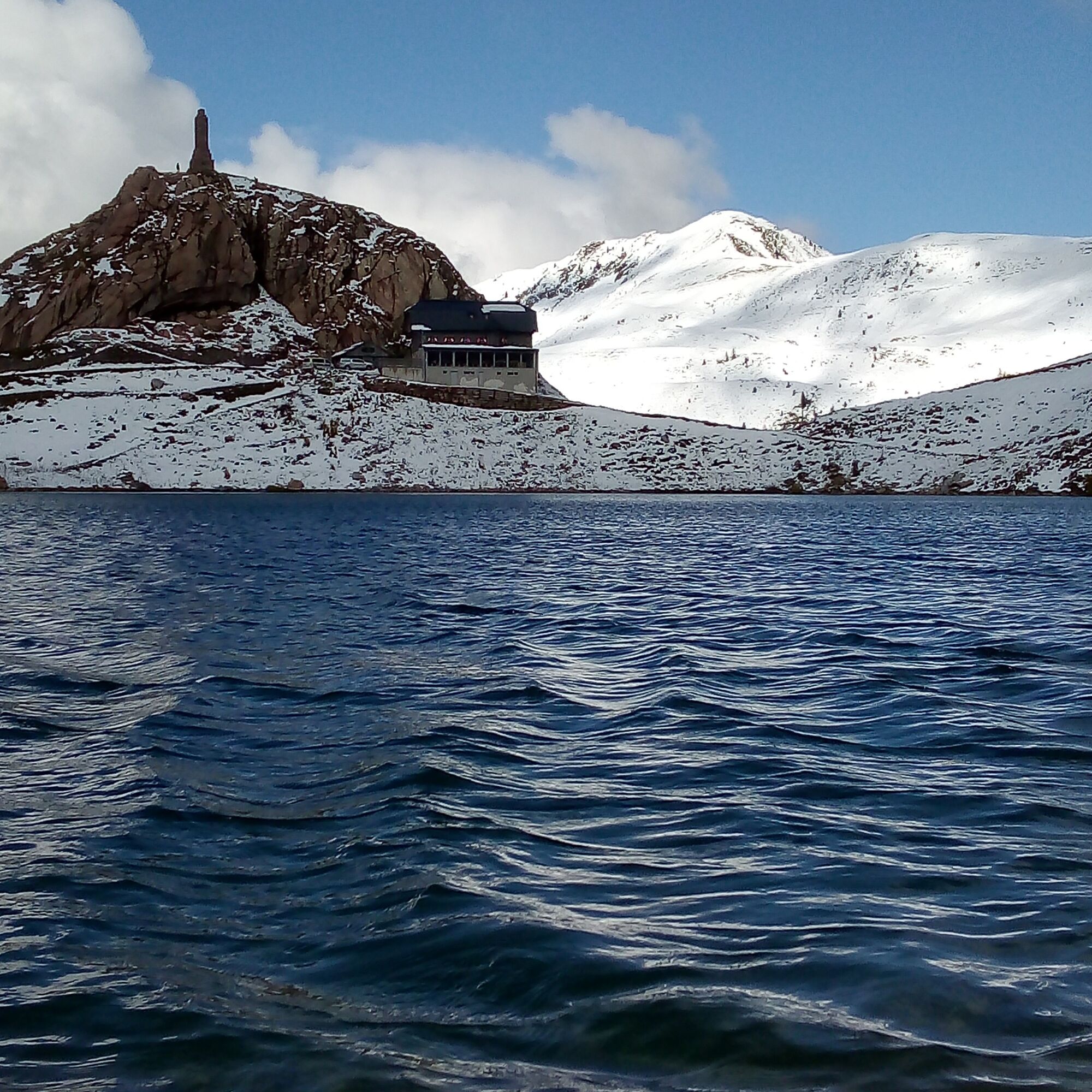
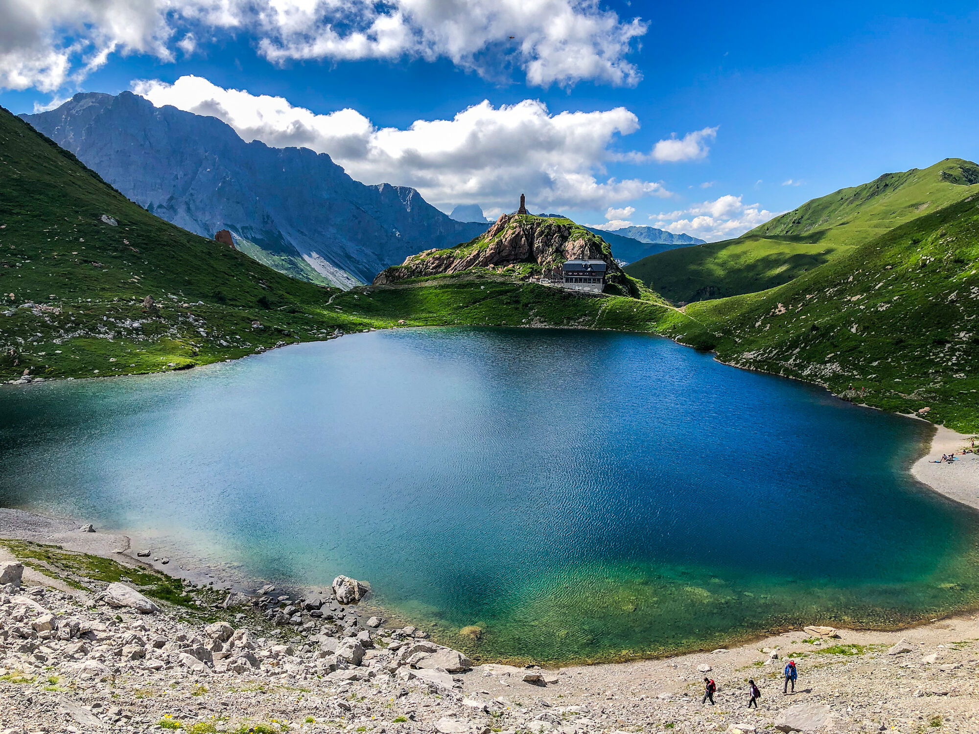

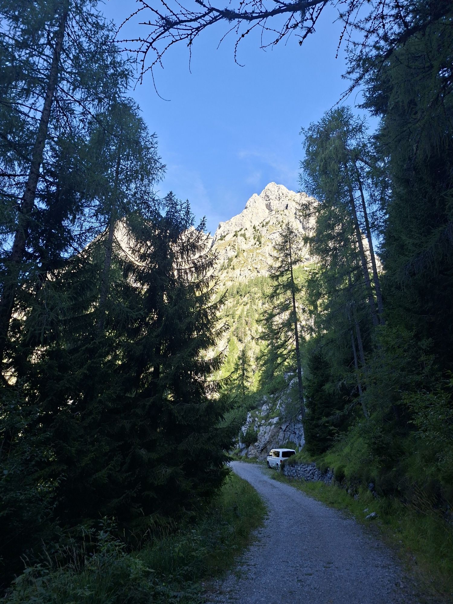
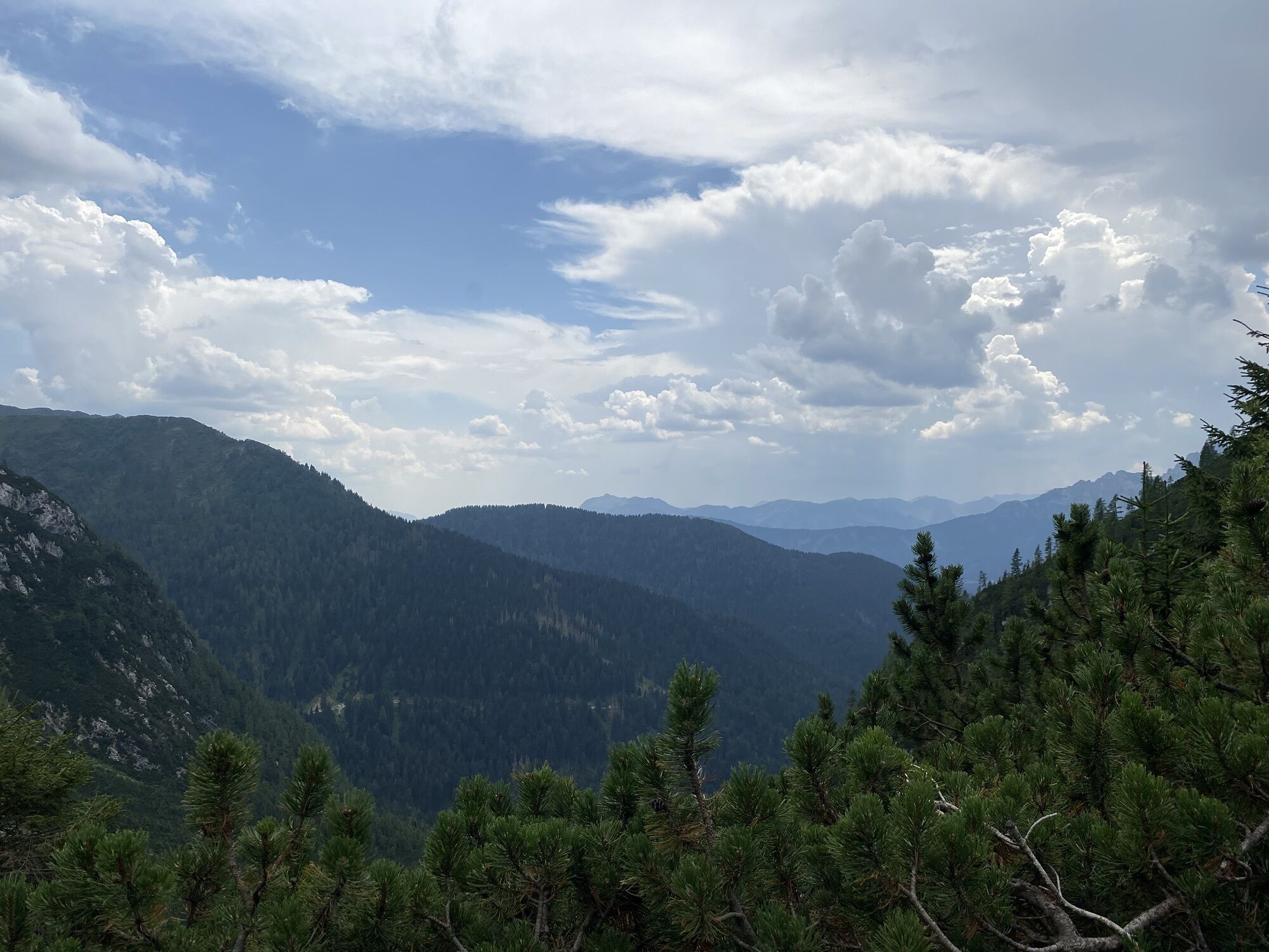
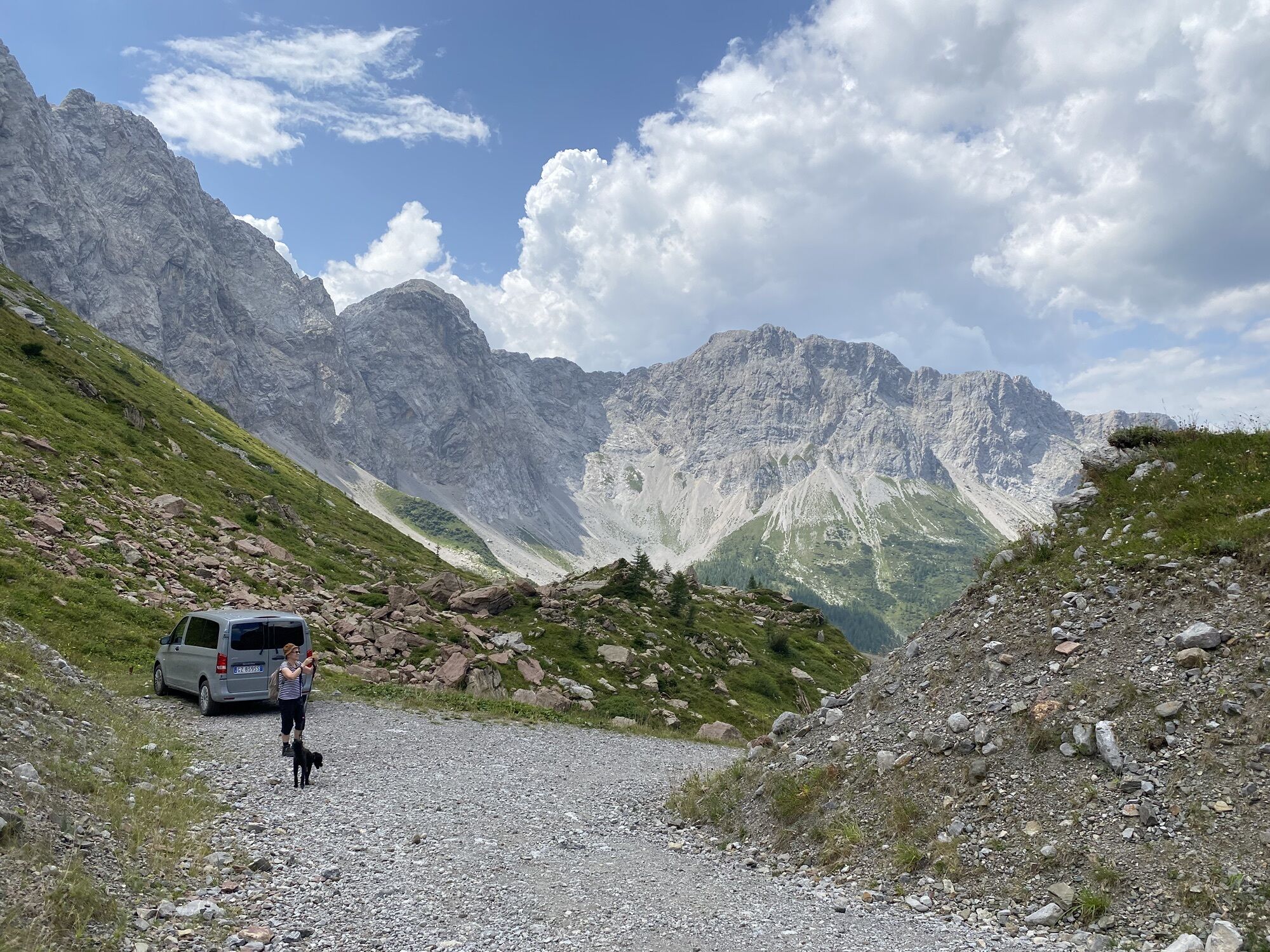
A forest road starts from Rifugio Tolazzi which is followed until a fork. The main road, leading to Rifugio Marinelli, is left to the right and the left track is taken (CAI 144 trail marker) which climbs with some hairpin bends through the woods offering beautiful views of Val Fulìn and Collina. At the end of this first series of hairpins, two alternatives are offered. You can continue on the path crossing the valley descending from Passo di Volaia climbing with numerous switchbacks; or, more briefly, you can follow the steep CAI 144 trail winding on the right side of the valley among sparse woods and dwarf pines. In any case, the two routes reconnect halfway up the valley. From here a quick mule track rises with numerous switchbacks, bordering the walls of Monte Capolago to the west and Monte Coglians to the east. The old Guardia di Finanza barracks is left high up and, just ahead, the fork leading right to the Spinotti Trail is met. Climbing a final less steep little valley, the Rifugio Lambertenghi Romanin (1,955 m a.s.l.) is reached. A few more meters of elevation gain lead to Passo Volaia at 1,977 m, where you overlook the spectacular basin of Lago di Volaia.
On the return, the outward route is retraced (1:30 hours)
Tak
Tak
It is recommended to bring a Winstopper because it is almost always windy at altitude.
In the winter/spring months it is advisable to go up with crampons due to possible ice. Depending on snow conditions, the route can be done with snowshoes. Always check the weather and pay attention to the avalanche bulletin before setting off.
From regional road 355, opposite the town of Forni Avoltri, turn towards Collina (7 km), pass through the village and continue for another 2 km until reaching the large parking lot at Rifugio Tolazzi where the paved road ends.
T2
If interested in the topic of the Great War, at the Info Point you can find the map of the "open-air museum" route.


Popularne wycieczki w okolicy
-
4,5
Karnischer Höhenweg – Etappe 4: Hochweißsteinhaus – Wolayersee Hütte
ciężkidługodystansowy szlak pieszy 15,9 km -
4,5
Obergail - Obergailer Alm - Obergailer Lake - Enderberg hut - Source for Health & Peace - Madonna circular hiking route - Obergail
średniWędrówka 11,4 km -
4,4
Mountain bike route from the Hubertus Chapel to the Wolayersee
ciężkiMountainbike 9,06 km -
4,8
Karnischer Hauptkamm - Hohe Warte 2.780m - Hike and Bike
ciężkiWycieczki górskie 19,5 km -
4,6
Bread & Morende Trail
średniWędrówka 11,3 km -
3,7
Cellon-Stollen und Senza Confini auf den Cellon und Steinberger Weg zum Abstieg
średniVia ferrata 7,09 km -
4,0
Circular hike Obergail - Gamskofel - Obergail Alm - Obergail
średniWędrówka 13 km -
5,0
Plöckenhaus - Polinik - Plöckenhaus
ciężkiWędrówka 10,9 km -
5,0
Valentin-Wolayersee-Runde
średniWędrówka 12,4 km -
3,2
Wolayersee
średniWędrówka 7,90 km
Wędrówki i tropienie


Nie przegap ofert i inspiracji na następne wakacje
Twój adres e-mail została dodana do listy mailingowej.





