






TREKKING FROM CIMOLAIS TO FORNI DI SOPRA
Poziom trudności: T3
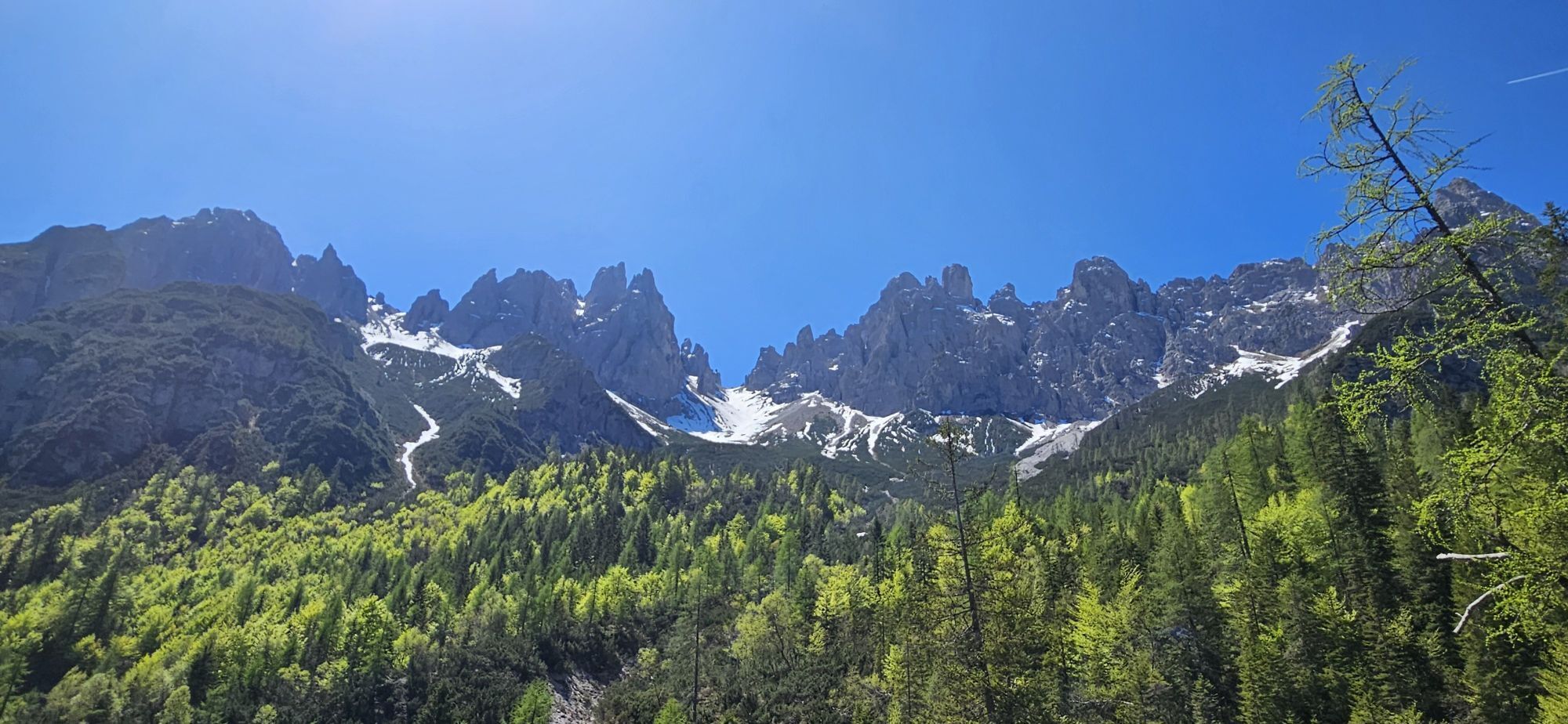
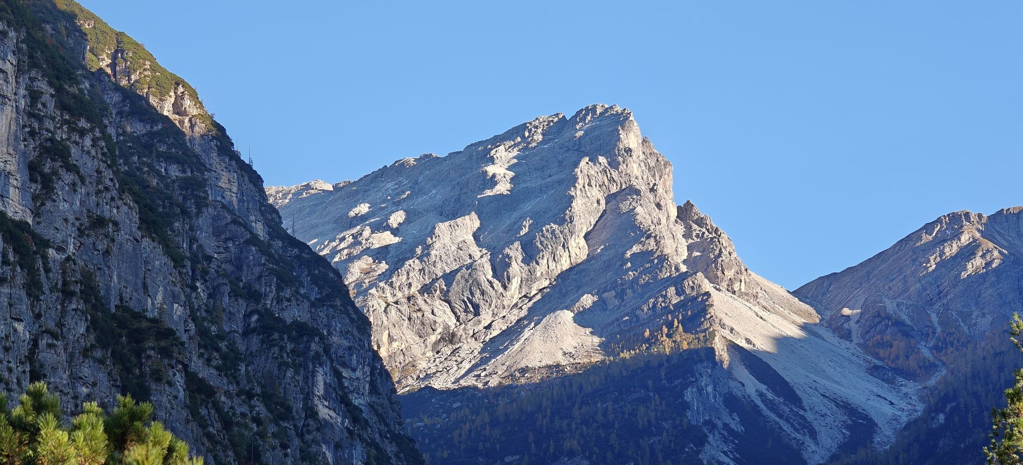
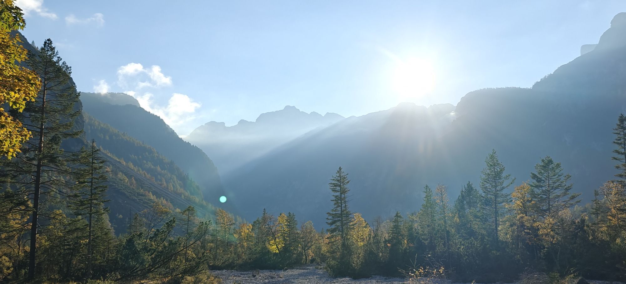
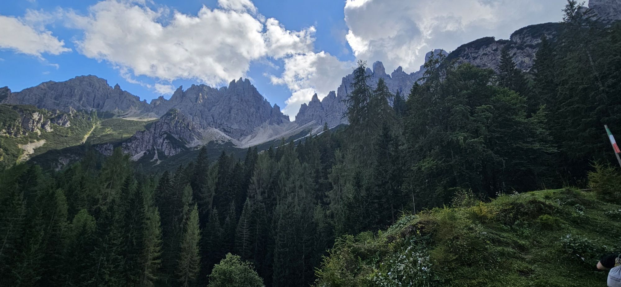
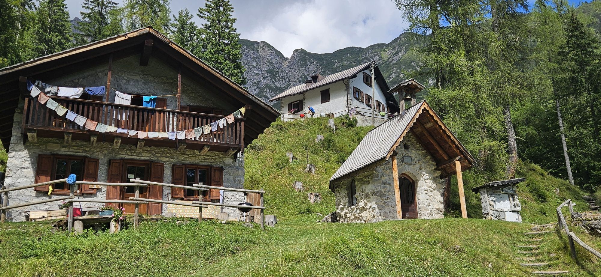
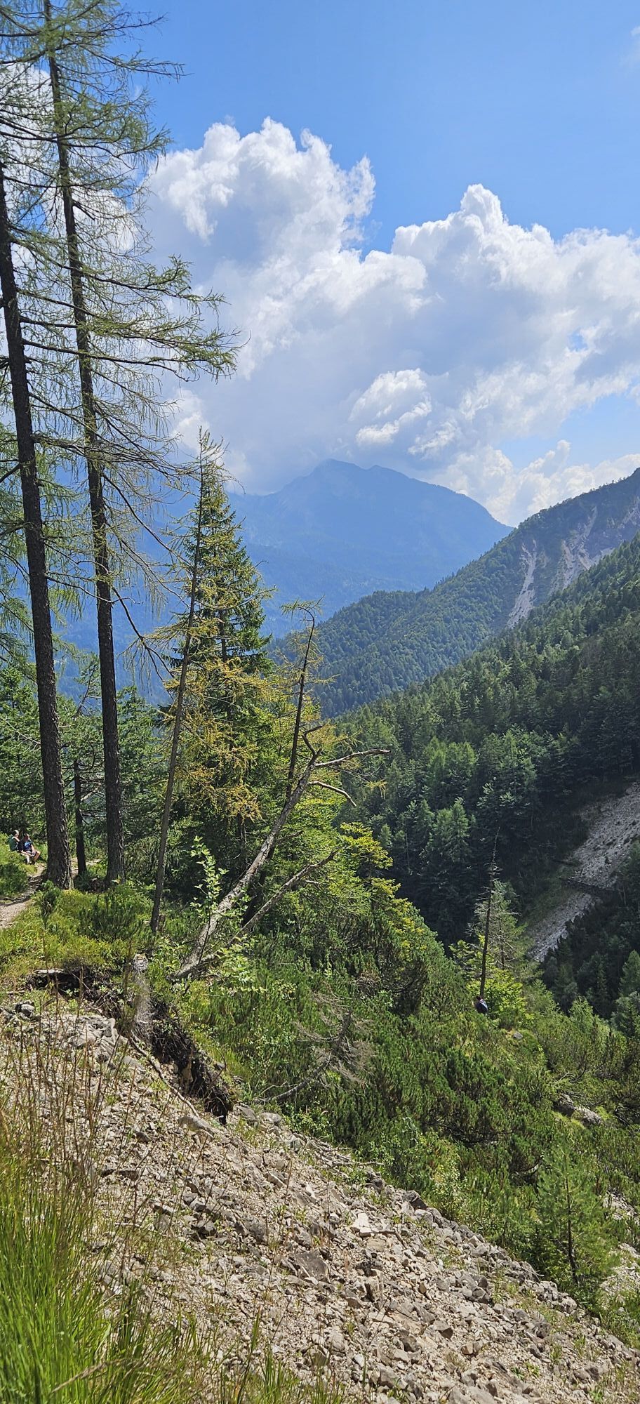
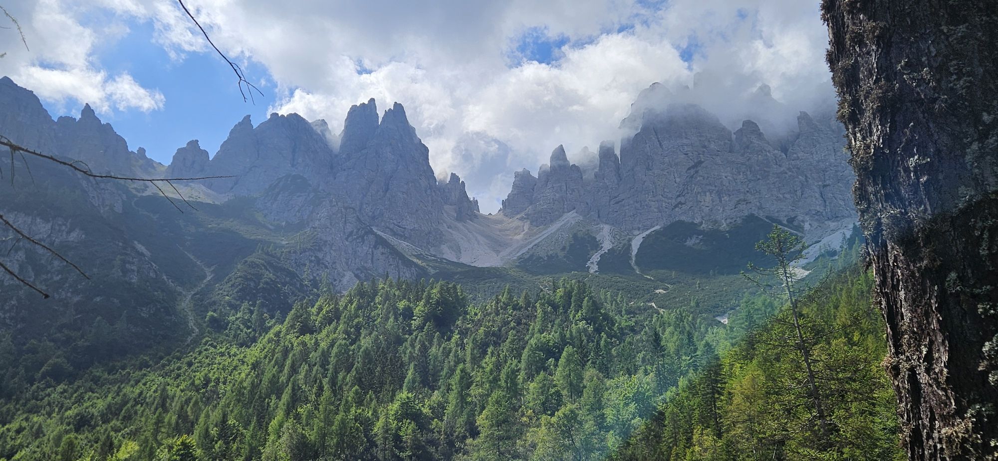
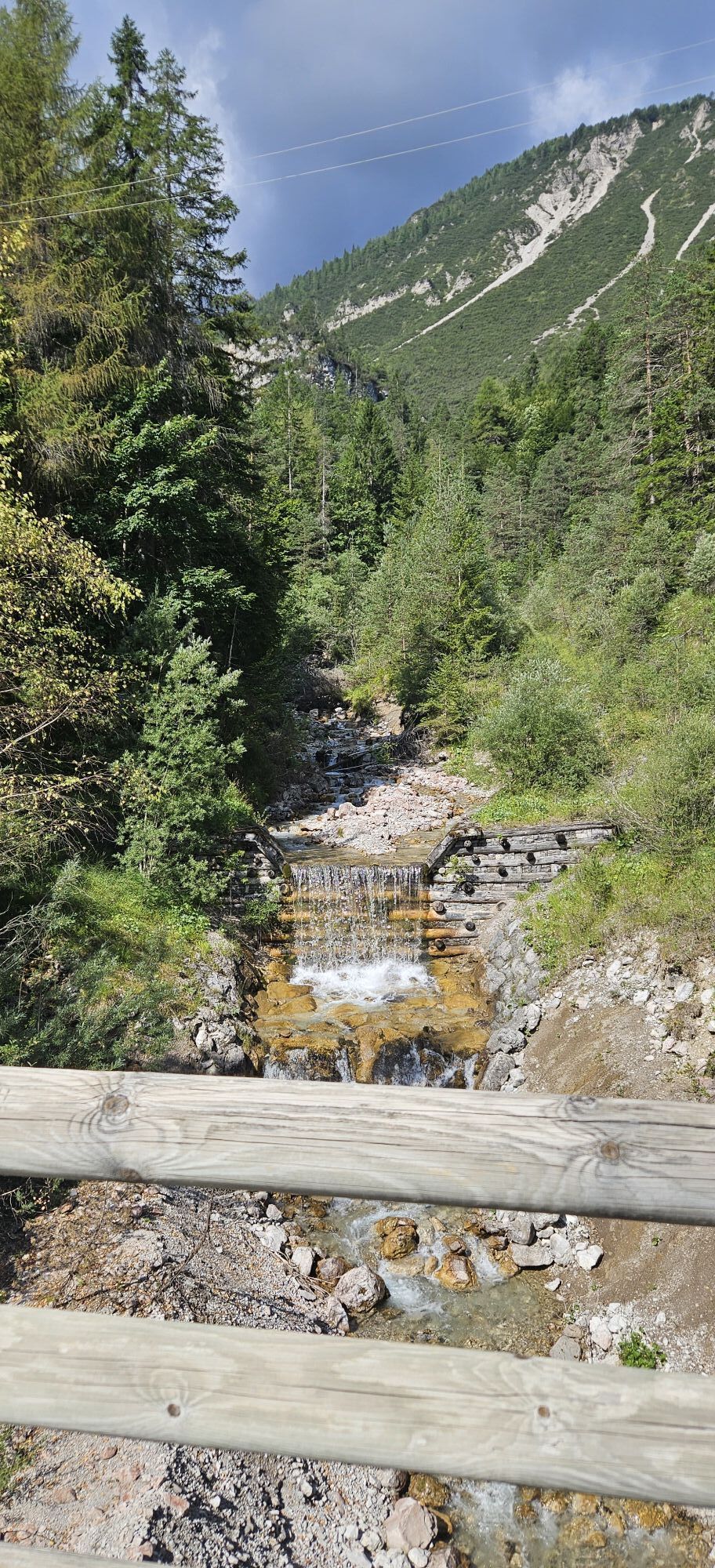

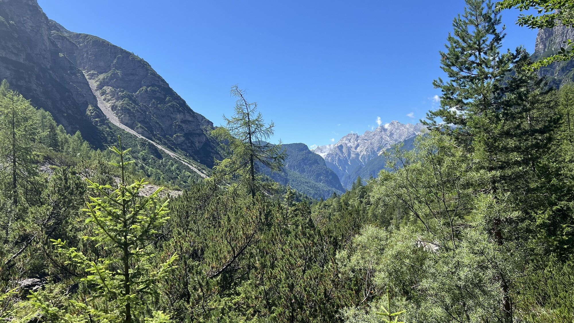
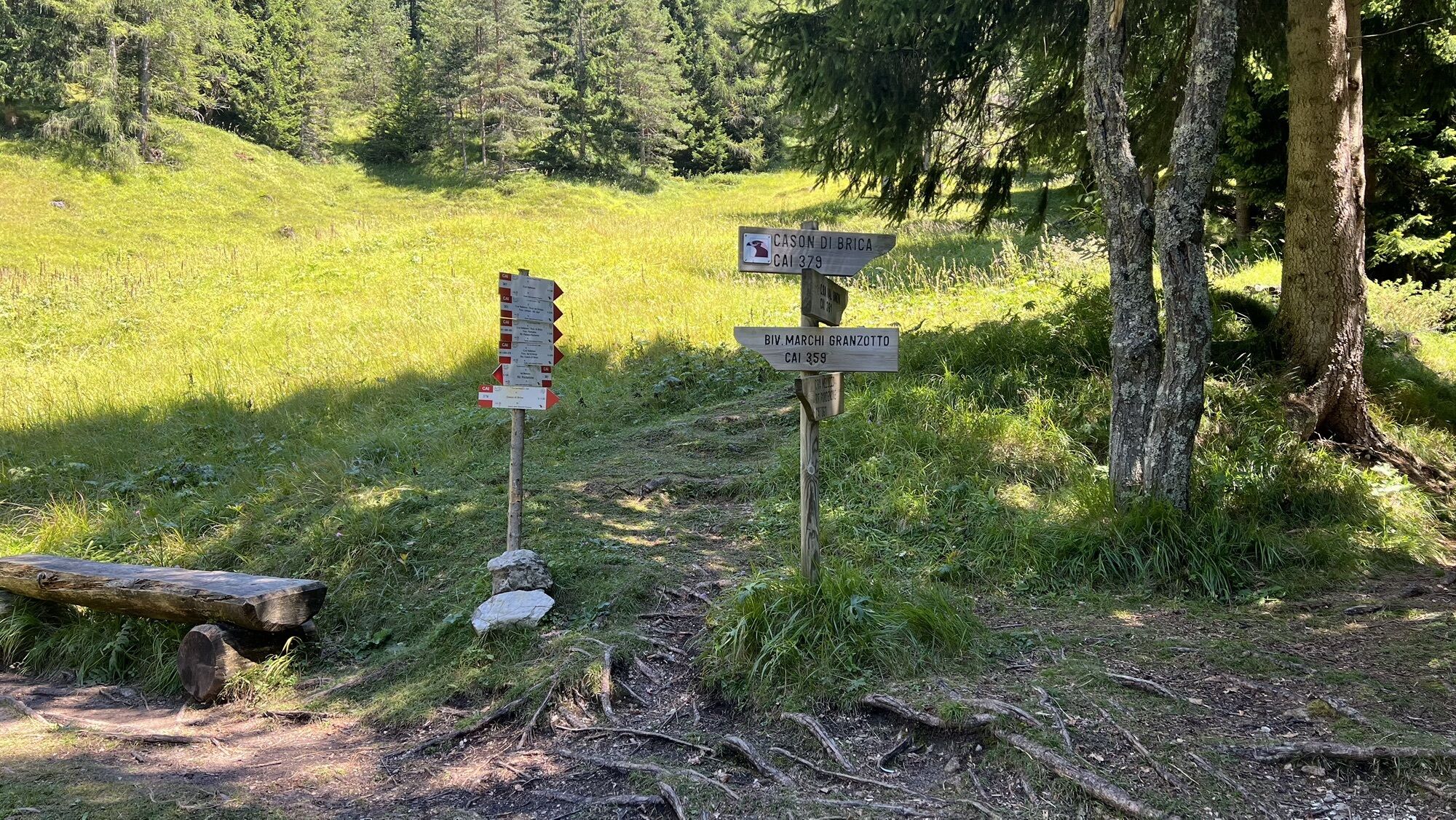
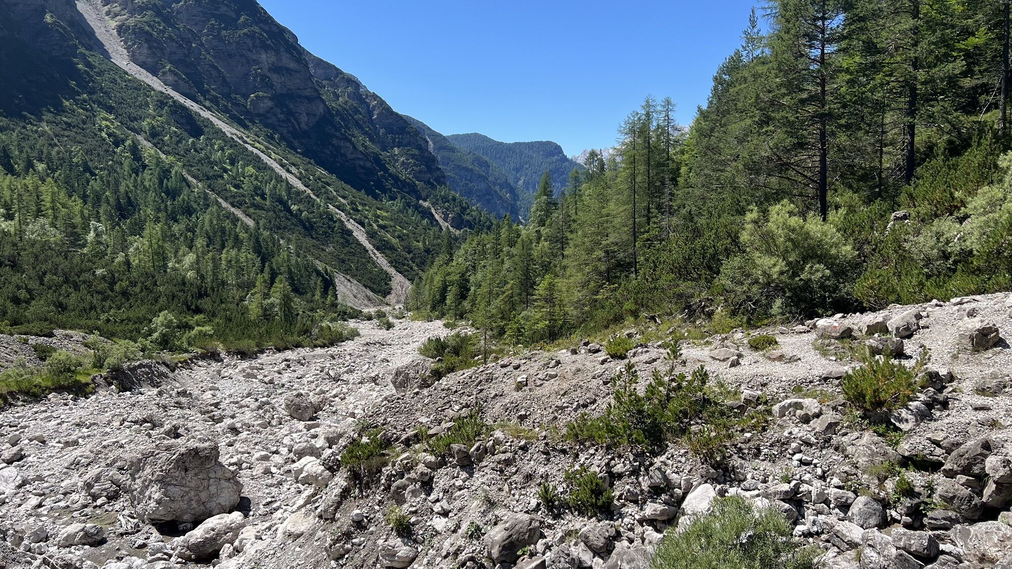
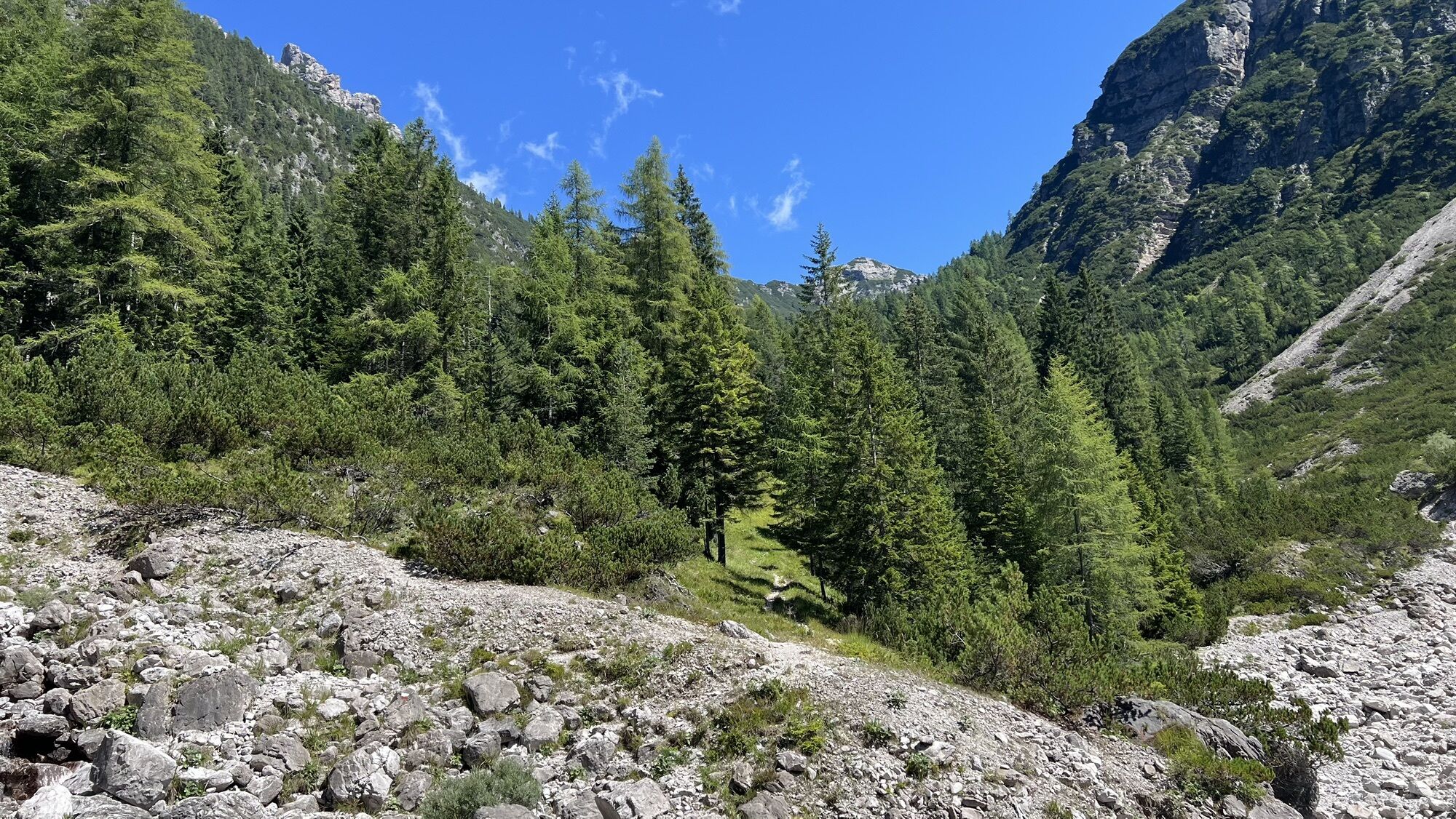
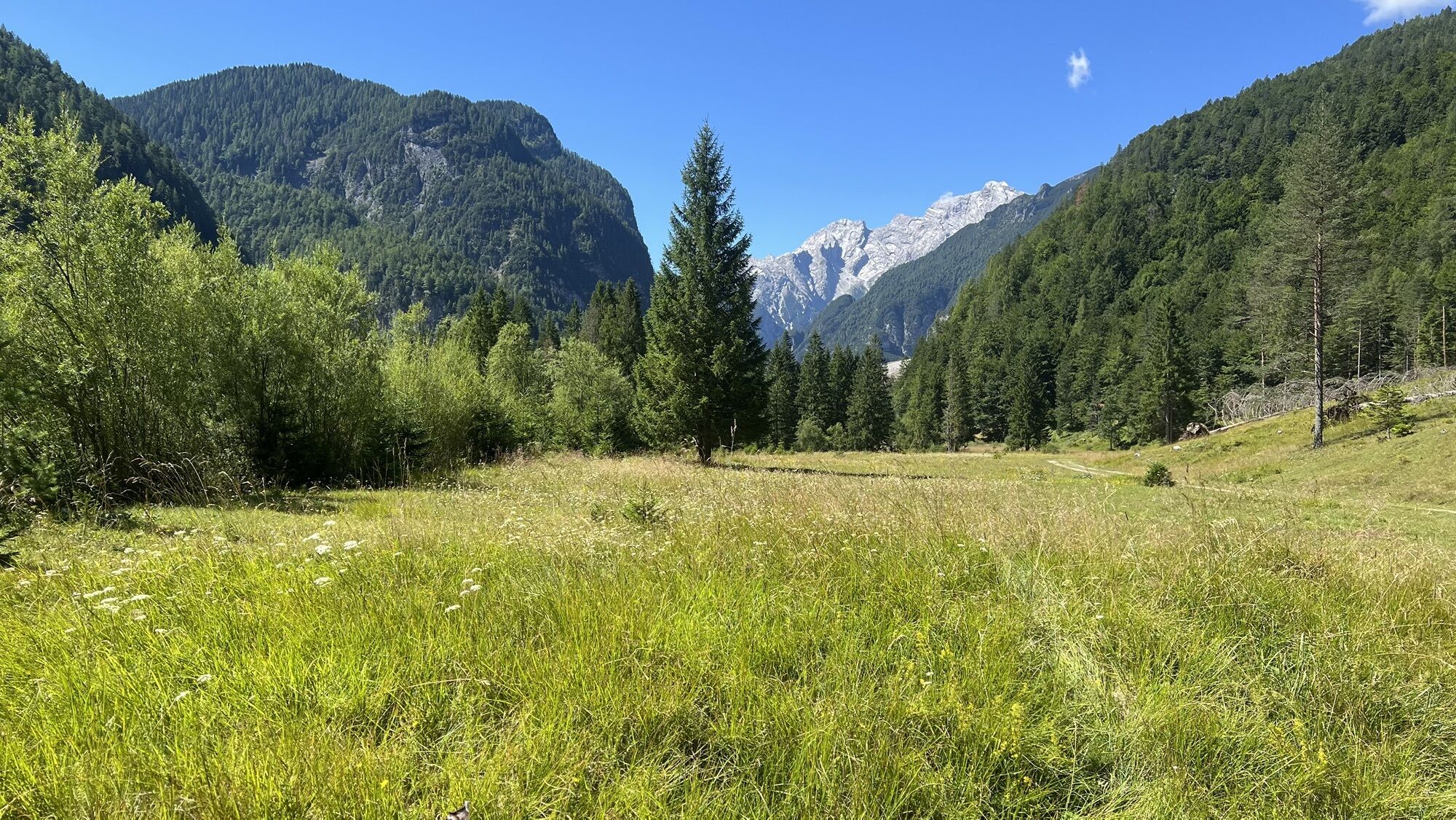
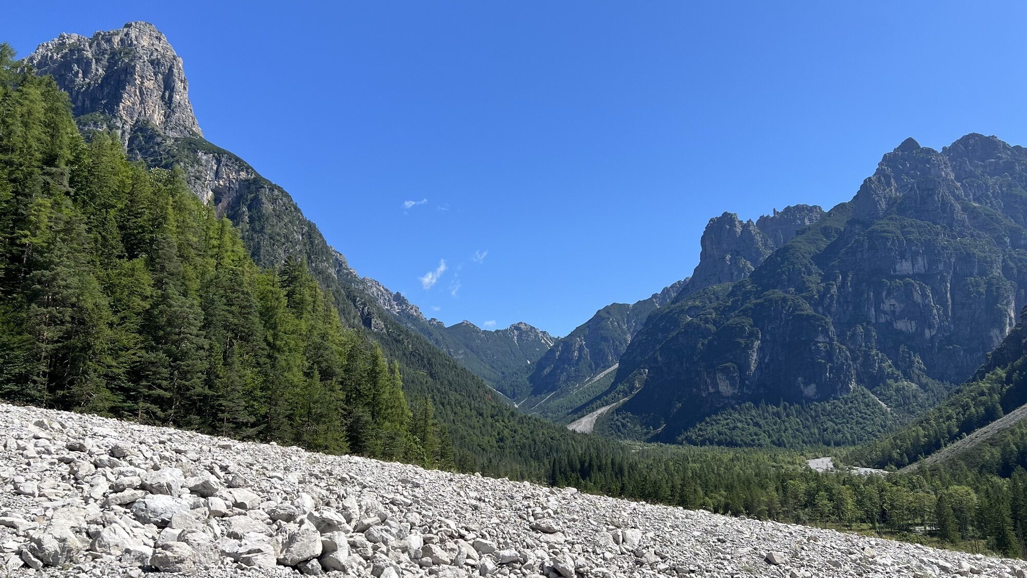
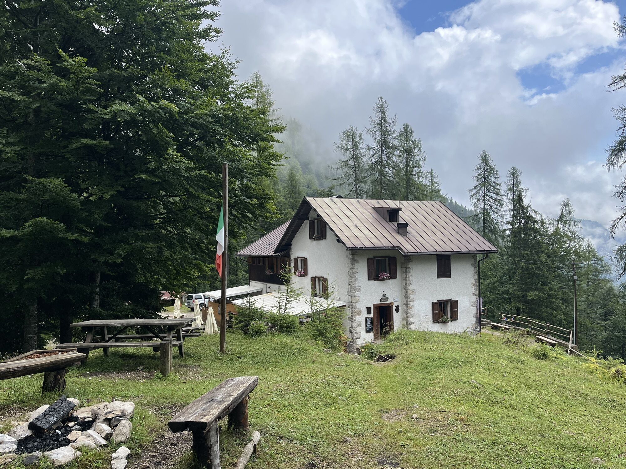
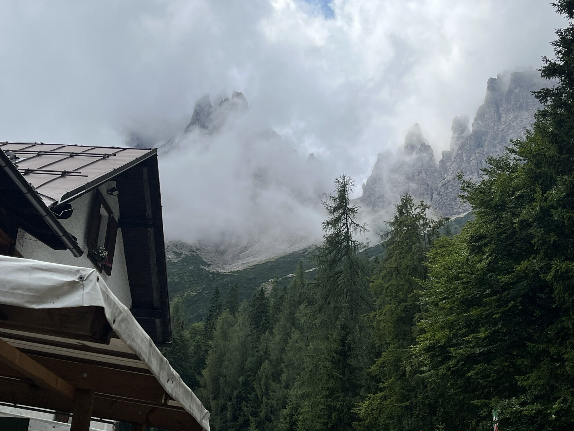

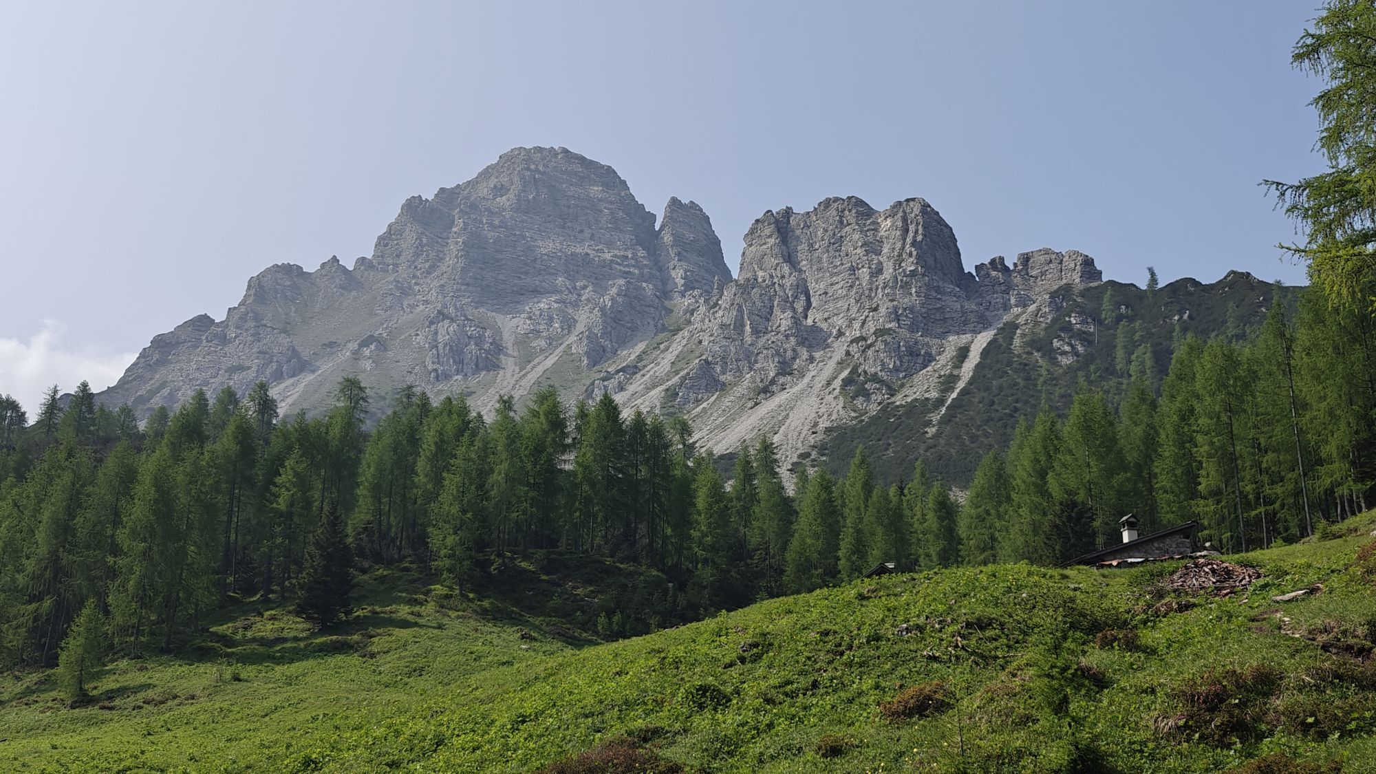
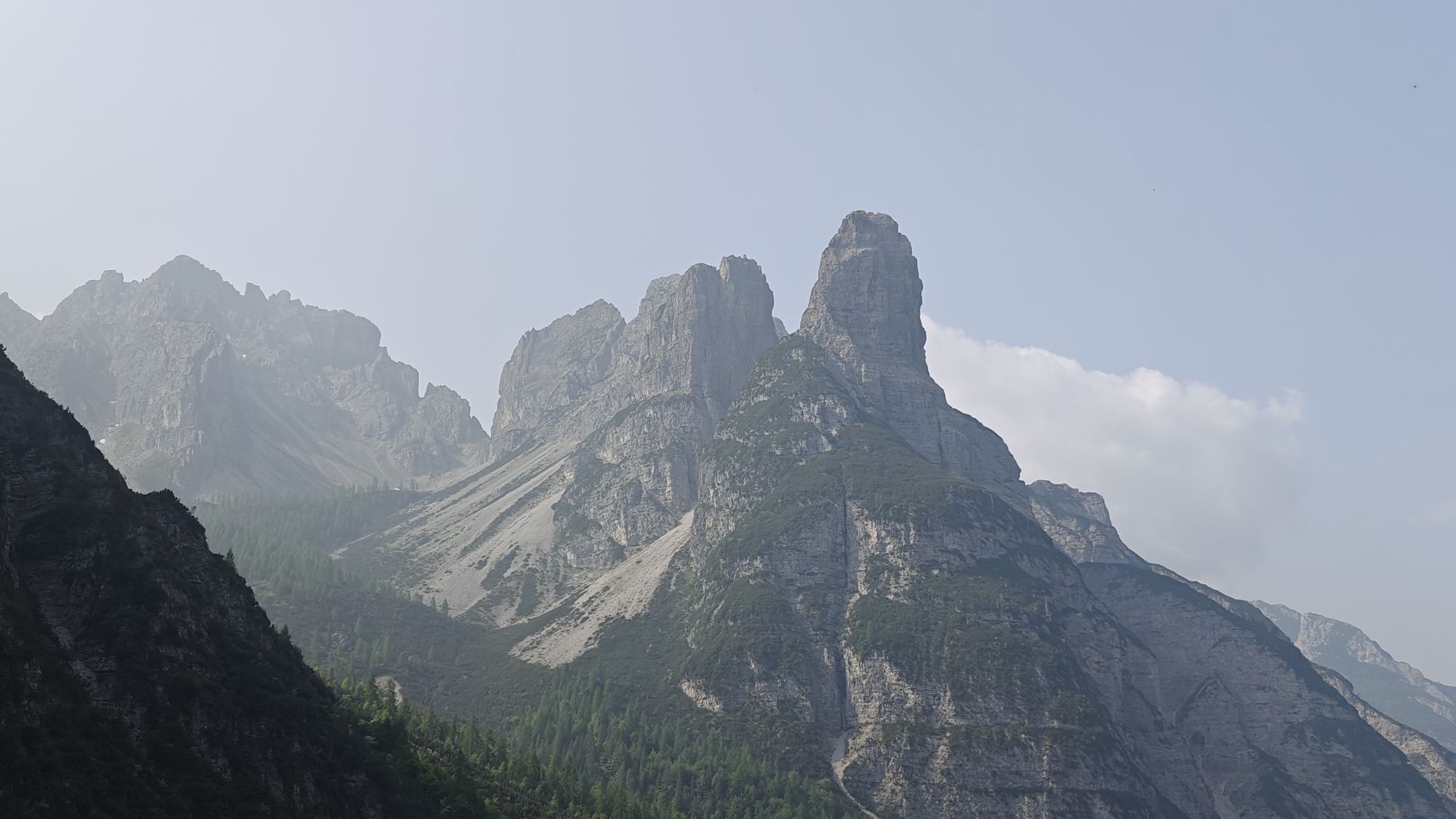
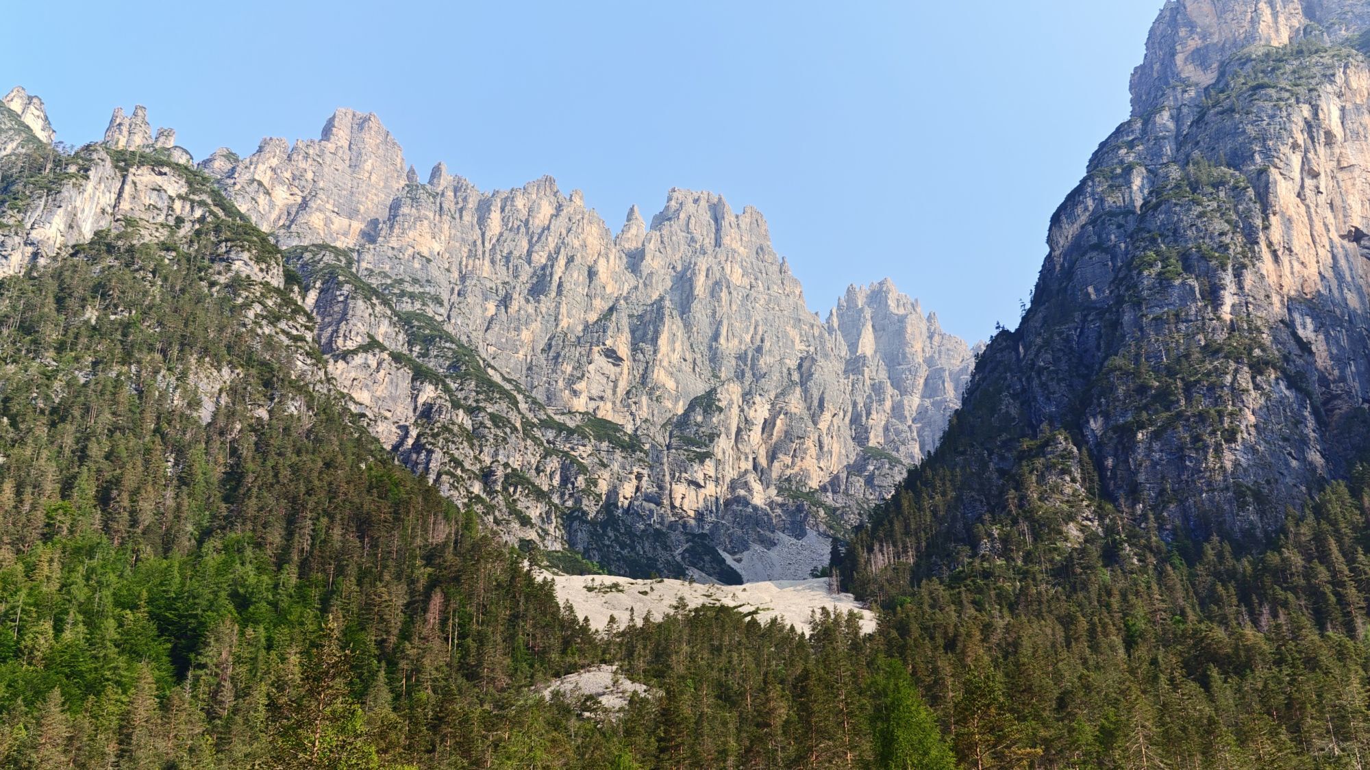
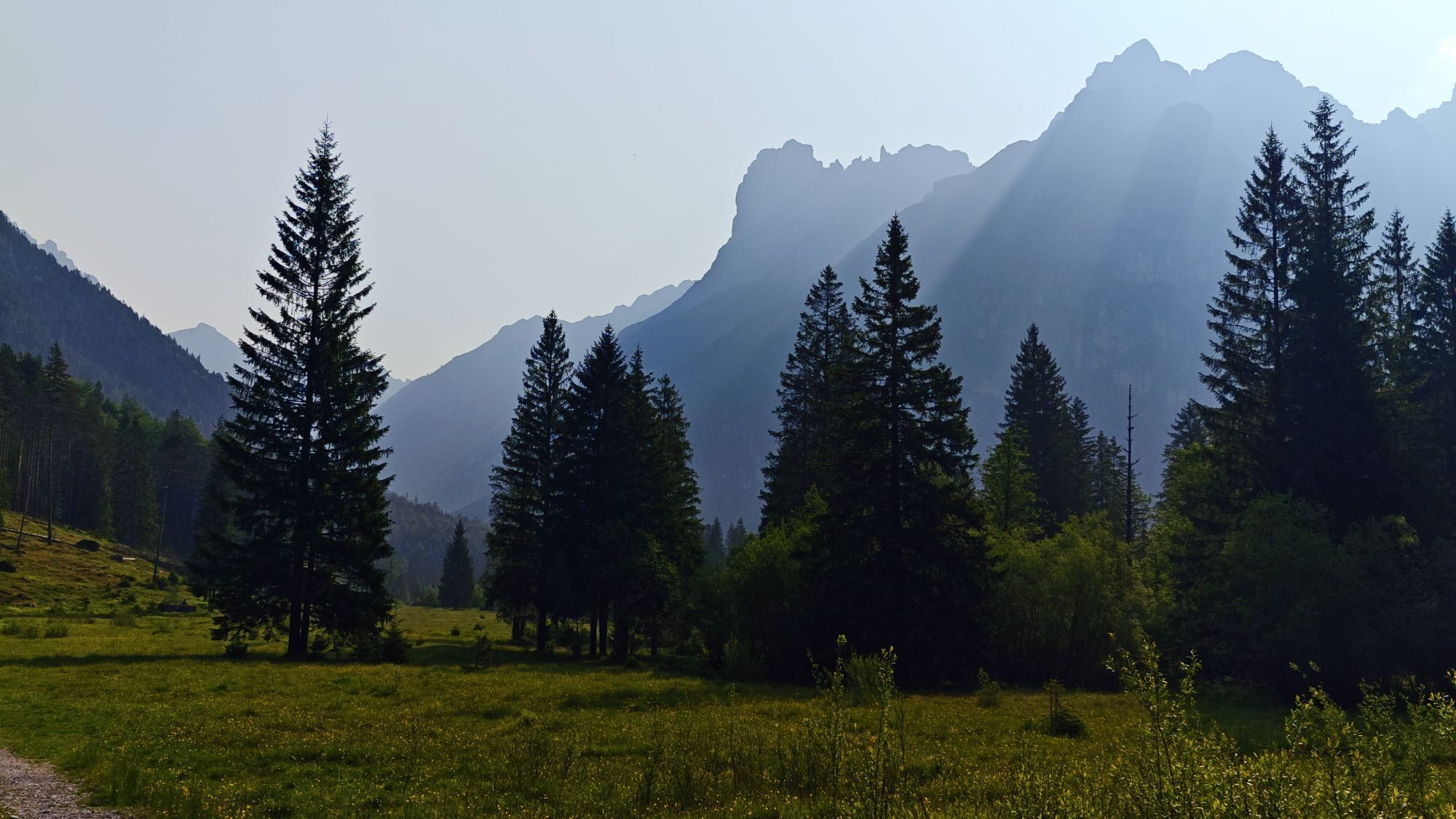
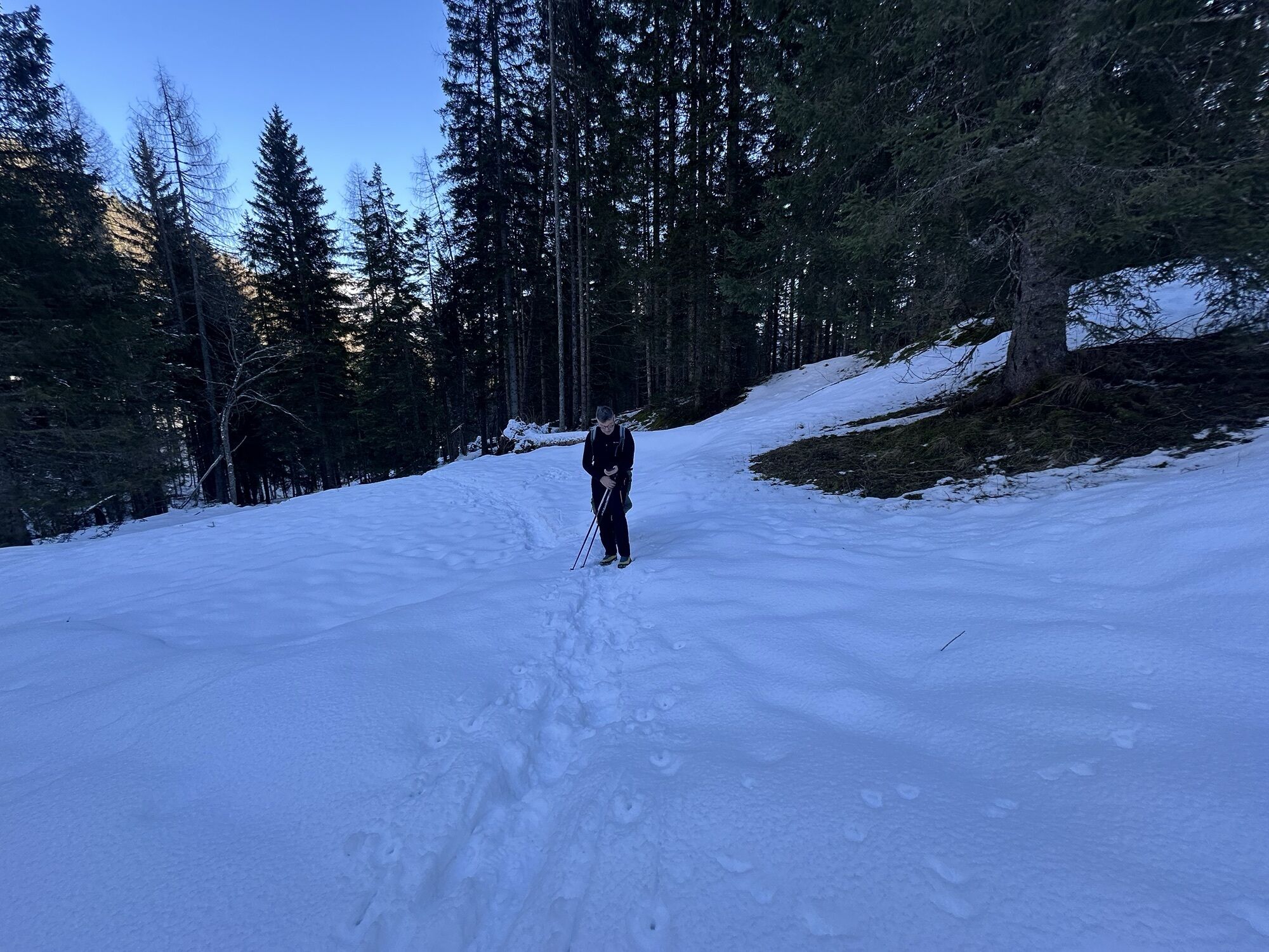
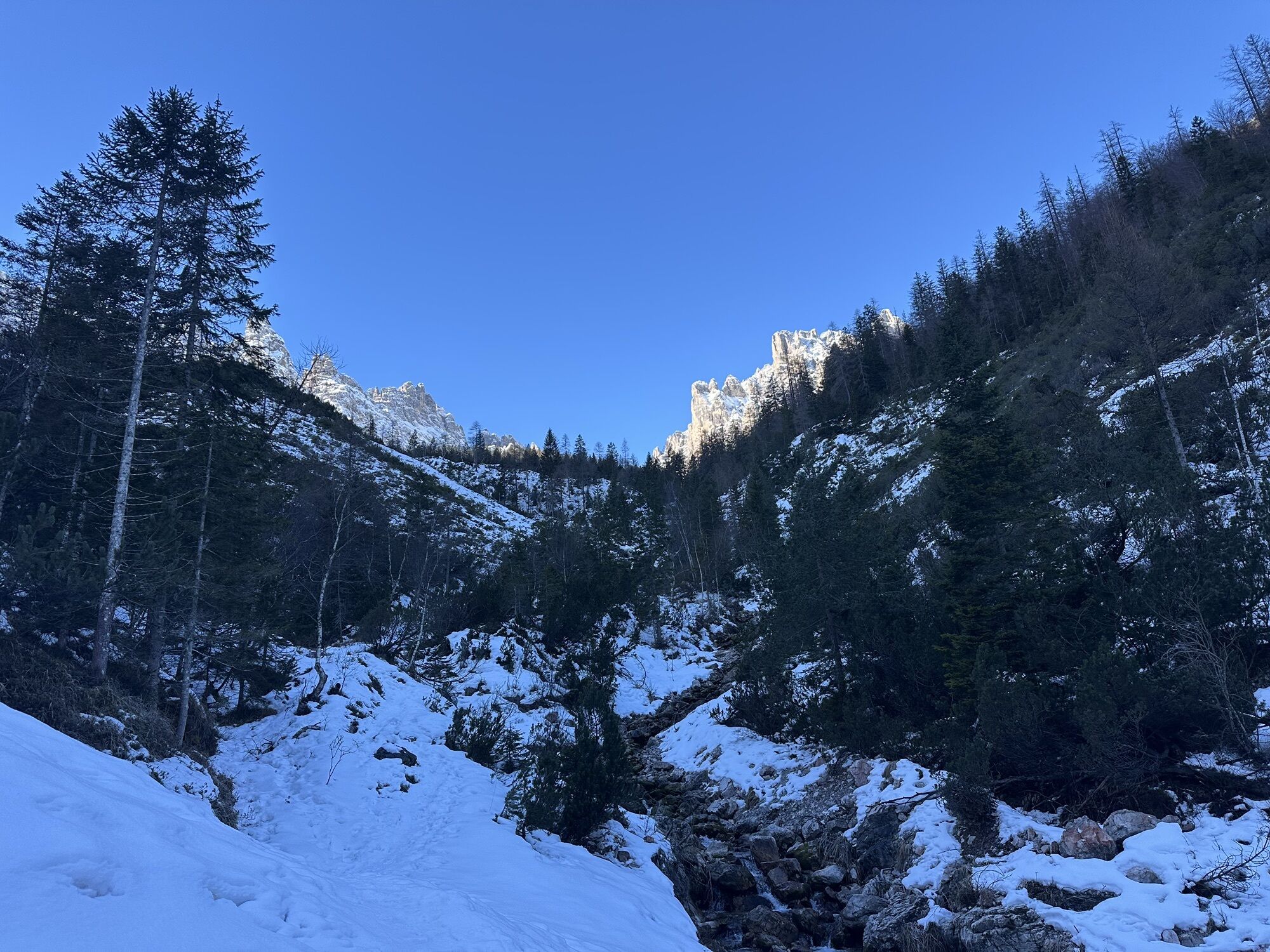
The hiking route starts in upper Cimoliana valley (Pian Meluzzo, near Rifugio Pordenone), reachable from Cimolais following the road of Val Cimoliana (13 km, paved and dirt road). From here it continues...
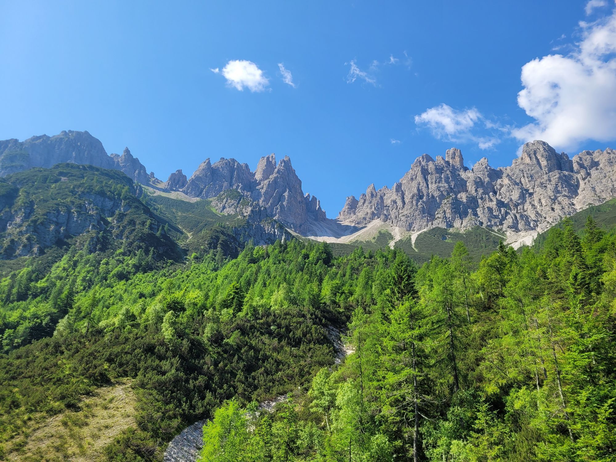
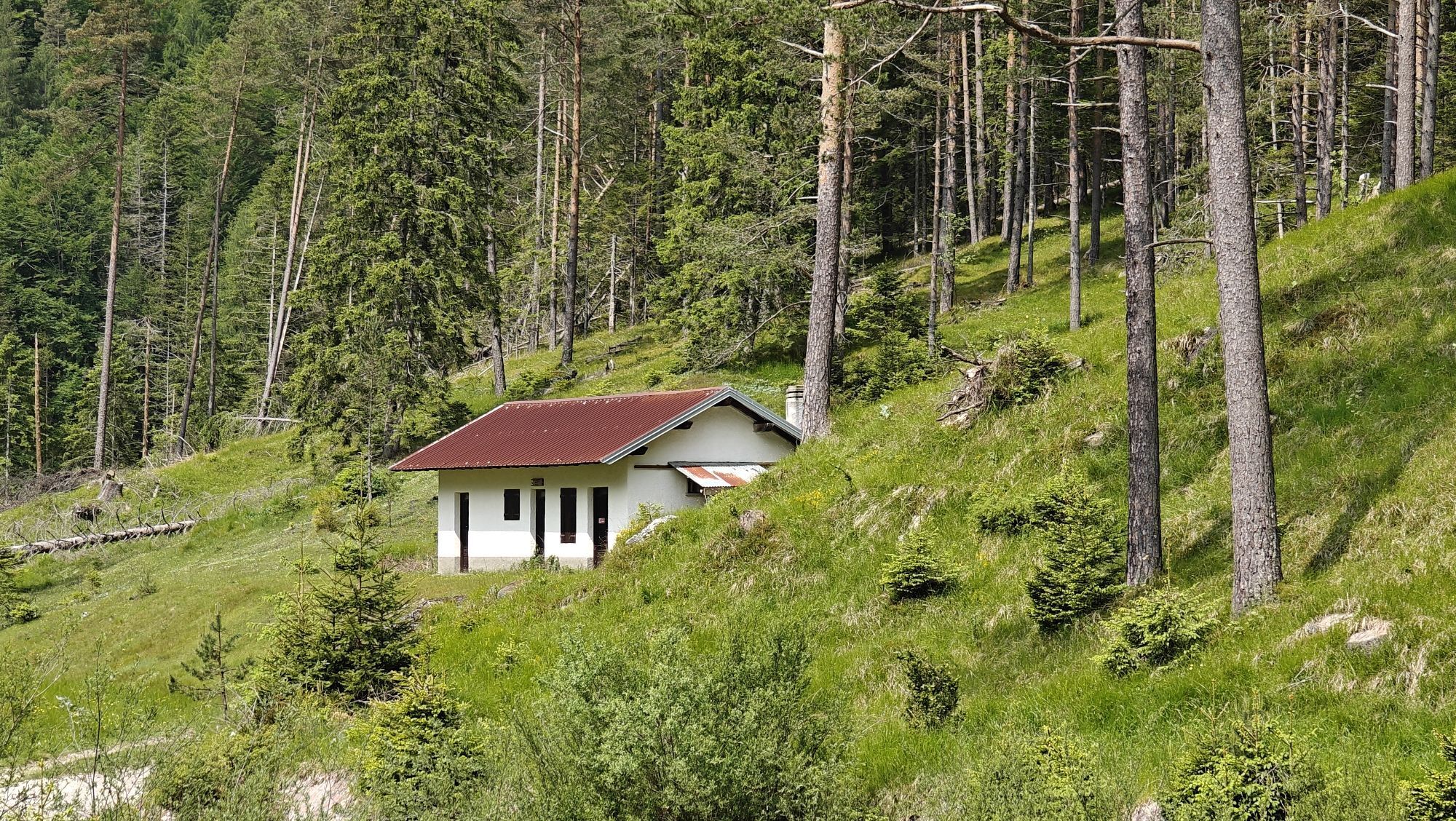
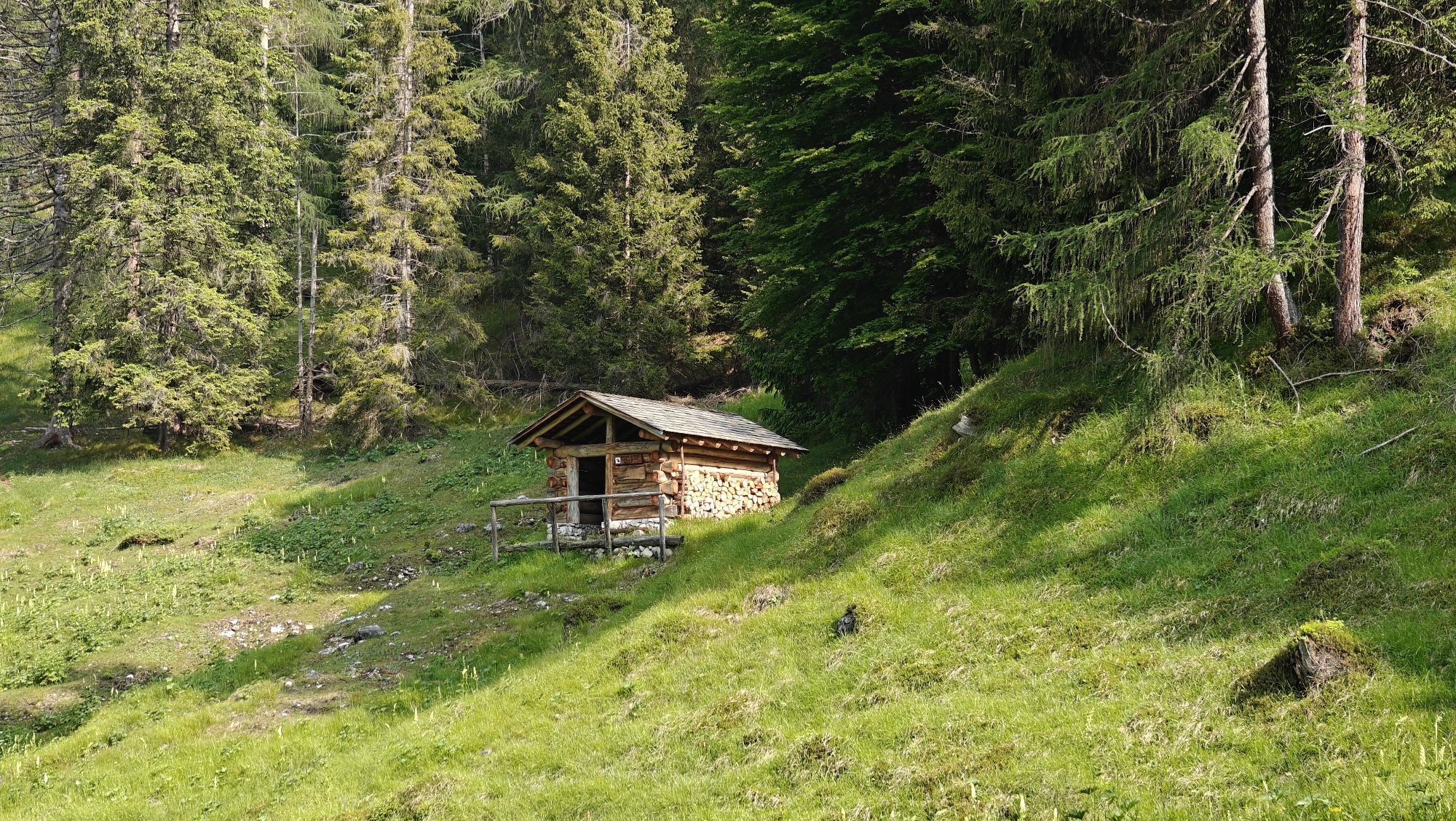
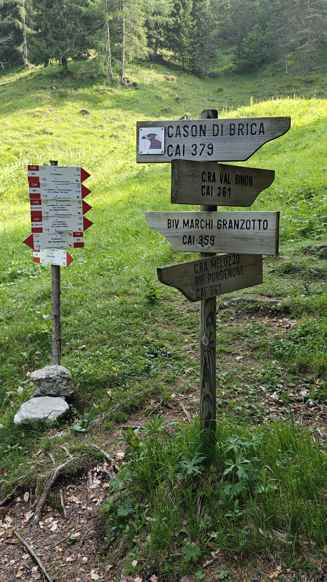
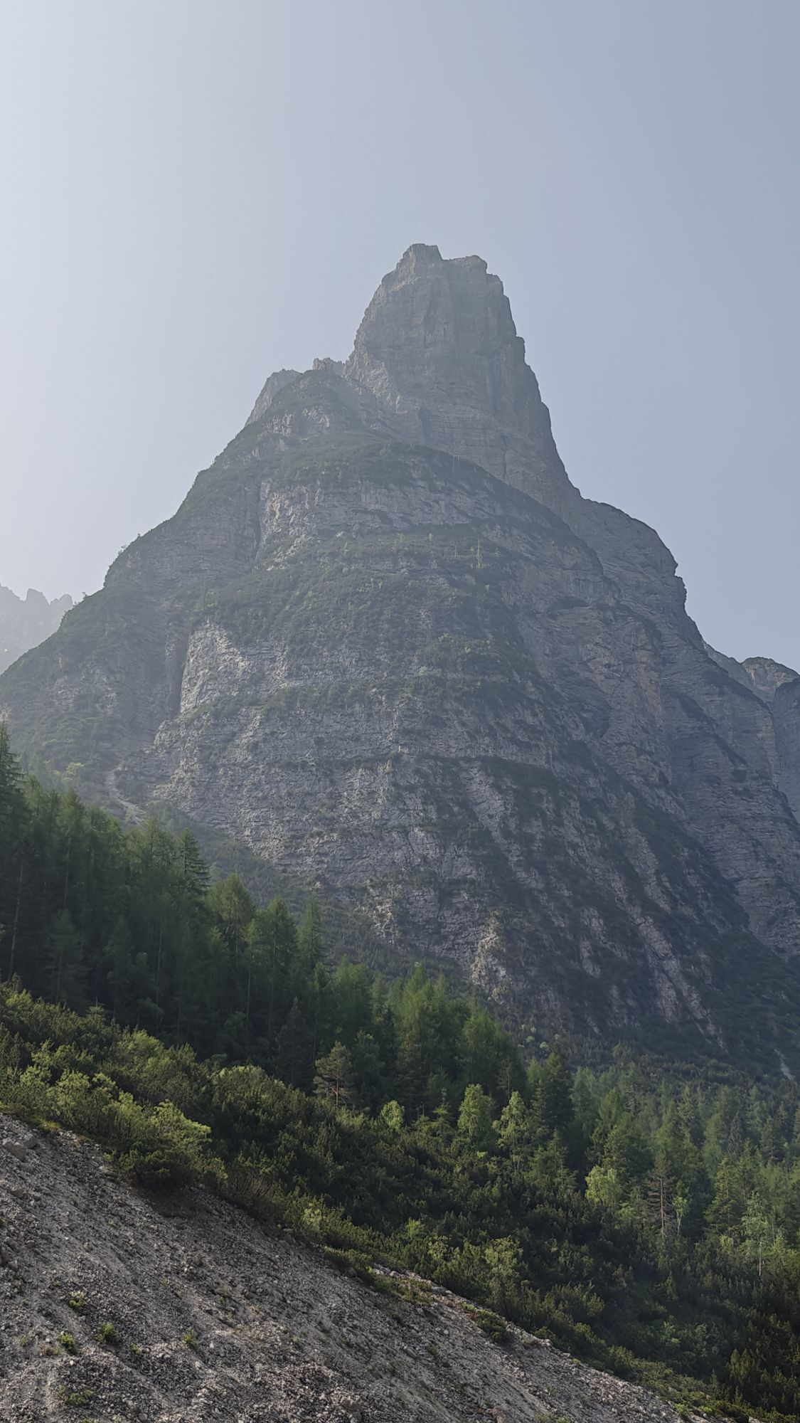
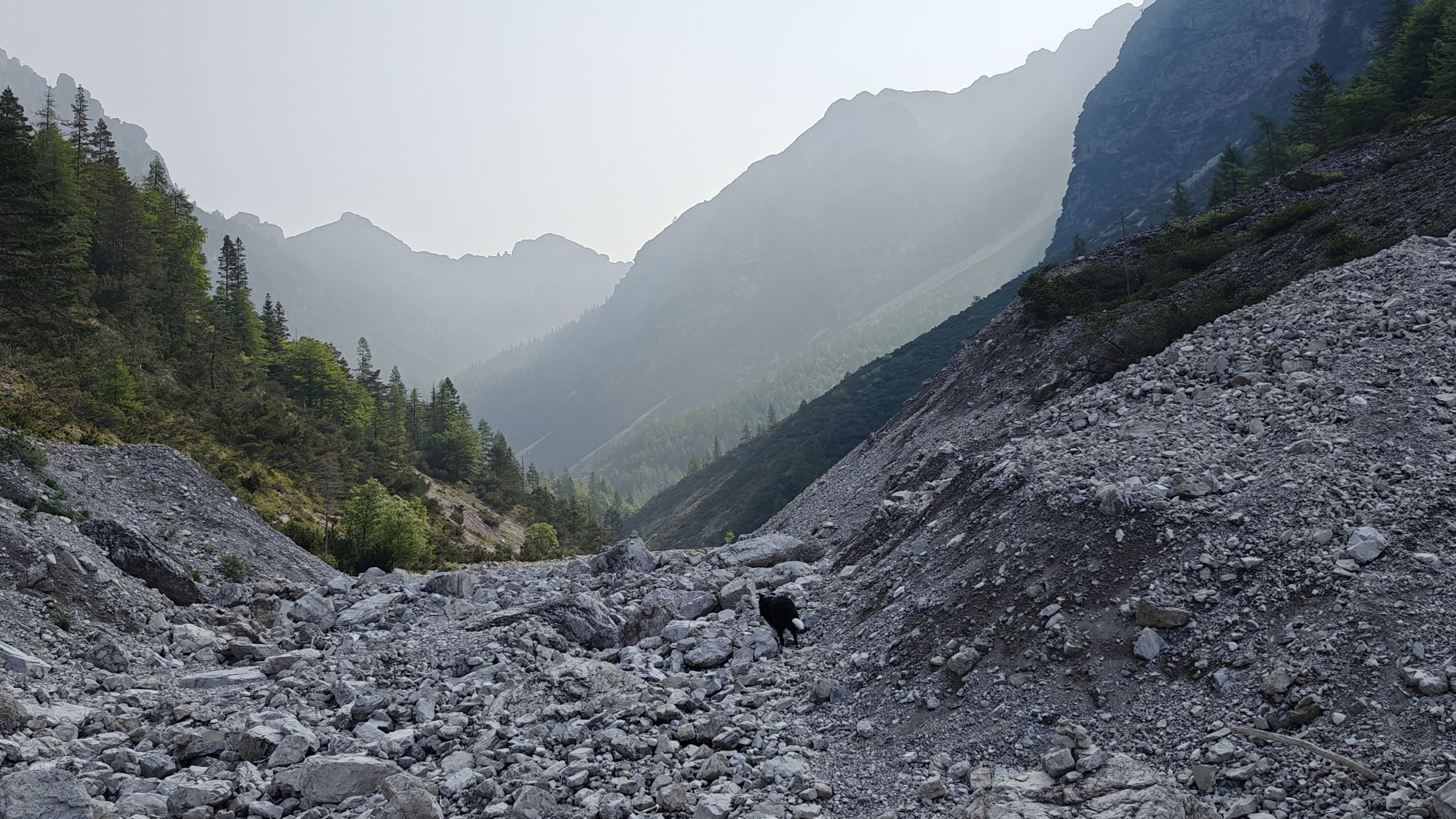
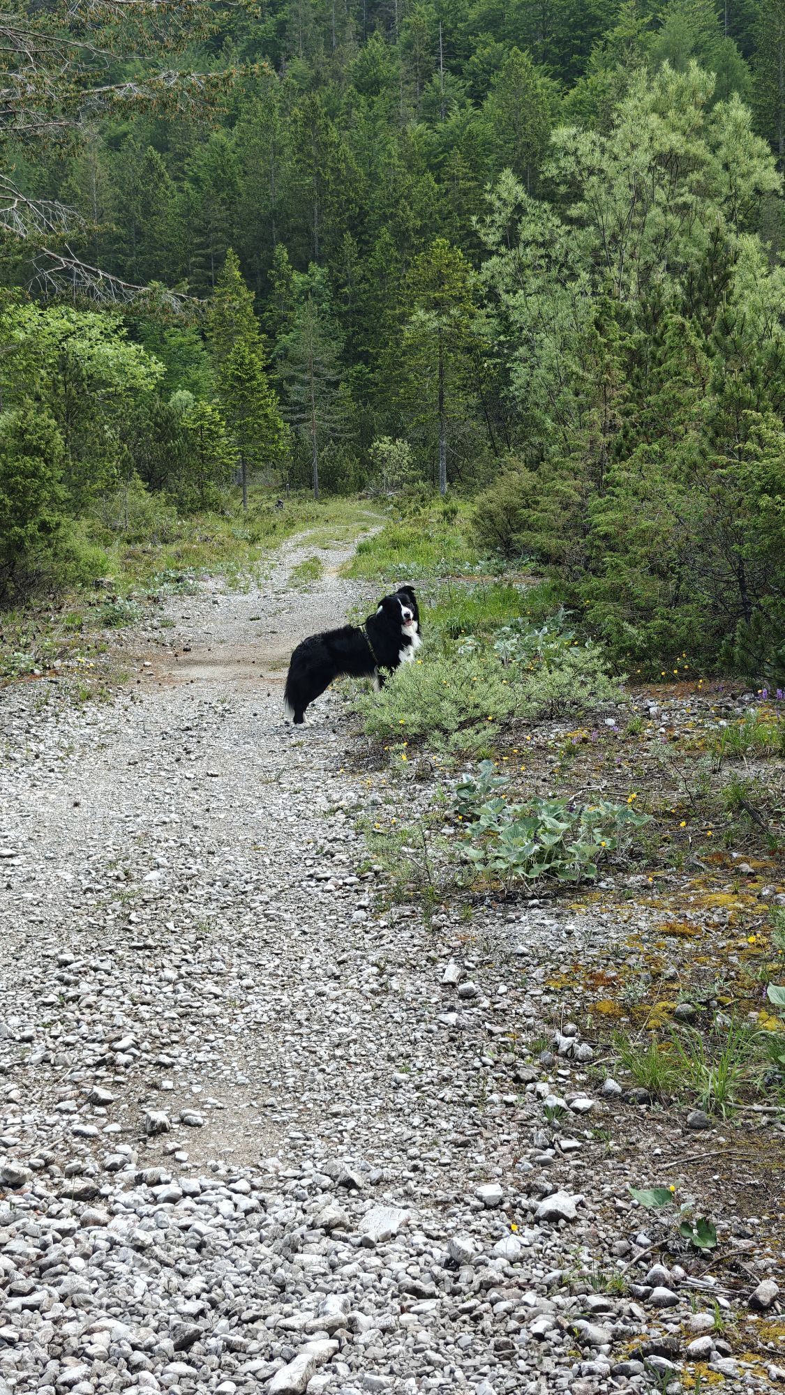
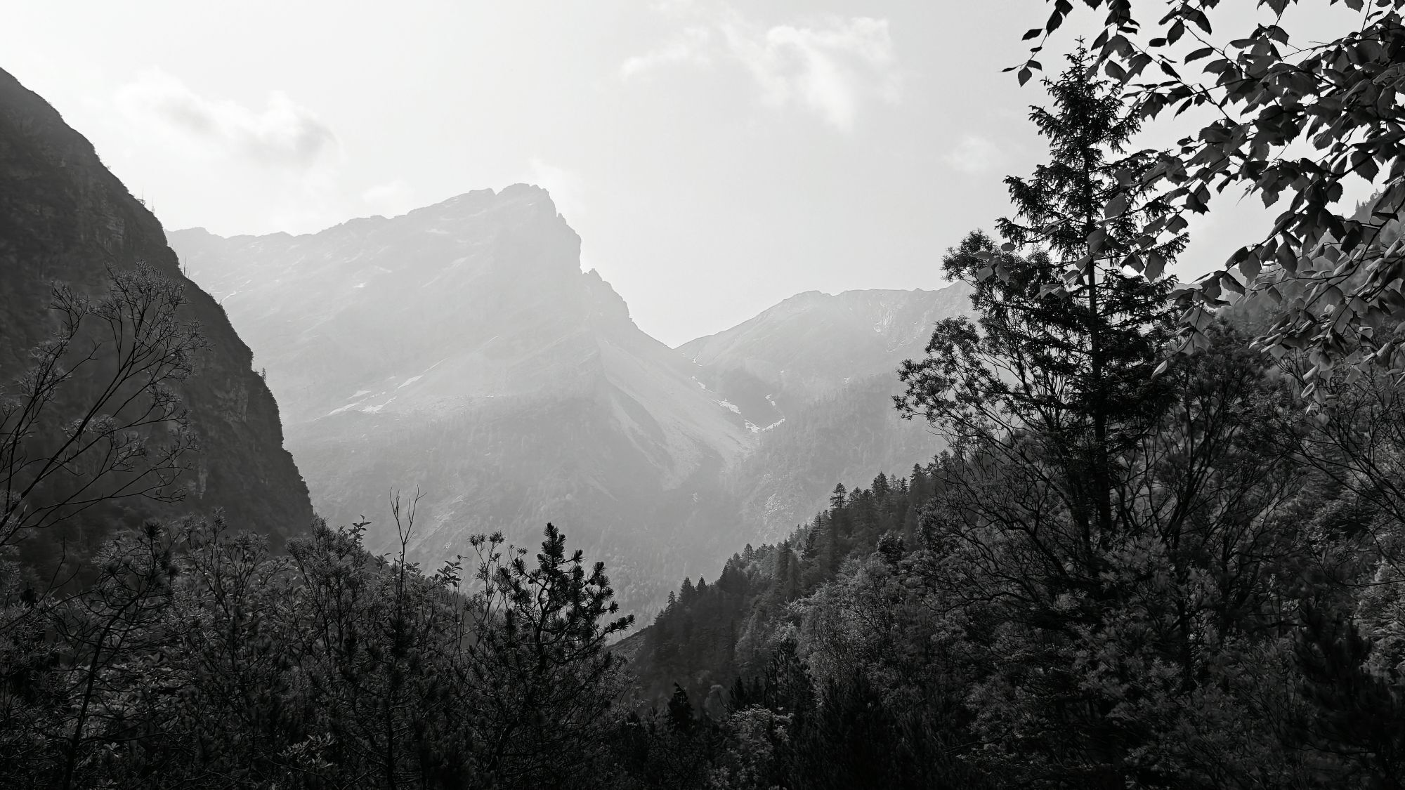
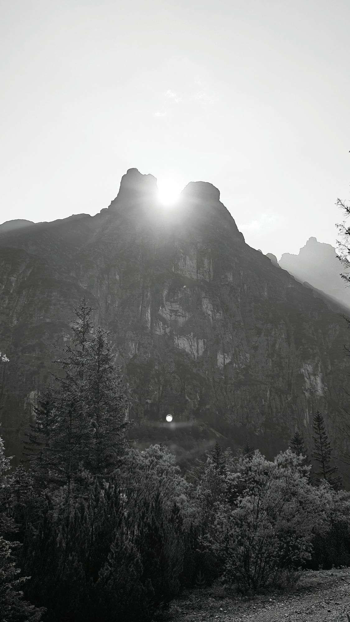
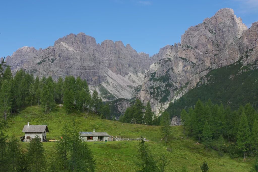
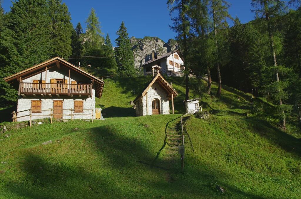
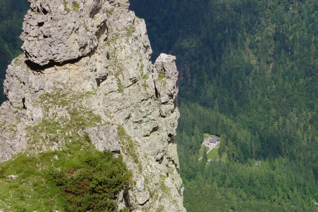
The hiking route starts in upper Cimoliana valley (Pian Meluzzo, near Rifugio Pordenone), reachable from Cimolais following the road of Val Cimoliana (13 km, paved and dirt road). From here it continues following the wide valley floor until reaching a log shelter (Caseruta dei Pecoli), from which the trail starts climbing through the forest until it comes out at the pasture of Casera Val Binon (shelter, staffed in summer). The itinerary now continues with an uphill crossing through a thicket of mountain pine, then comes out onto the grassy hollow leading to the airy Forcella Urtisiel, which offers a view ranging from the head of Val Cimoliana to the entire Dolomite area around Forni and beyond. Beyond the pass, the path descends along the scree slopes below the walls of the Cime dei Pecoli, down to Rifugio Giaf, located at the edge of the forest. Once at the Refuge, follow the trail (or the forest road) descending the valley of the same name, until the locality Ponte Giaf, the end point of the itinerary, from where it is possible to follow the road leading to the village of Forni di Sopra.


CAI 361 - CAI 346
Tak
Hiking route
T3
https://app.parcodolomitifriulane.it/wp-content/uploads/2023/03/16_TTrekking-da-cimolai-a-forn.pdf
Uzyskaj wgląd
Zawsze na żywo z ponad 9 500 kamer internetowych. bergfex Jako użytkownik Pro, możesz teraz zobaczyć odpowiednie kamery internetowe dla wielu wycieczek w aplikacji wycieczki od. Pozwala to na bezpośredni podgląd aktualnych warunków.
Aktywności na trasie

Popularne wycieczki w okolicy
-
5,0
Campanile di Val Montanaia i Bivacco Perugini
średniWędrówka 2,76 km -
4,5
Tiziana Weiss nature trail
średniWędrówka 9,23 km -
4,0
Mounts Bivera and Clap Savon from Casera Razzo, alpine ride
ciężkiWędrówka 20,5 km -
Anello delle Dolomiti Friulane 3 Rifugio Pordenone - Rifugio Padova
średniWędrówka 7,04 km -
Pierścień Dolomitów Friulijskich z Forni di Sopra
średnidługodystansowy szlak pieszy 34,7 km -
4,5
GALVANA TRAIL
ciężkiWędrówka 12,2 km -
The multicolored campanili of Mount Zauf
średniWędrówka 14,2 km -
Urtisiel and Canpuros, Dolomitic wonders
średniWędrówka 13,5 km -
LONG LOOP ALONG THE TAGLIAMENTO RIVER
światłoWędrówka 10,2 km -
BIVACCO MARCHI-GRANZOTTO DA FORNI DI SOPRA
ciężkiWędrówka 10,3 km
Wędrówki i tropienie


Nie przegap ofert i inspiracji na następne wakacje
Twój adres e-mail została dodana do listy mailingowej.





