






LONG LOOP ALONG THE TAGLIAMENTO RIVER

Poziom trudności: T1
The start is exactly behind the small lakes in the Davost area along a trail without CAI markings but wide, clear, and well used.
With the Tagliamento river on the left, you reach a first geologically interesting...
The start is exactly behind the small lakes in the Davost area along a trail without CAI markings but wide, clear, and well used.
With the Tagliamento river on the left, you reach a first geologically interesting point: an outcrop of gypsum rocks creating a landslide-prone and unstable slope.
Several interesting natural engineering works have been done in this area, showing how to operate in a non-invasive way on the territory.
The trail narrows but remains clear; it crosses some small streams and passes near some alpine huts, some of which have been converted into holiday homes.
In these places, you can read the history of a mountain area: the phases of alpage with the first grazing along the village slopes, their abandonment with often uncontrolled regrowth of the forest, the varieties of fruit trees that grew near the farmhouses.
Upon reaching a bridge, you cross it to take a short stretch on an asphalt road up to another bridge where you cross again to take the forest road heading southeast (the river stays on our left).
After a few dozen meters on the right, there is a large nest of Formica rufa ants and immediately after a small peat bog rich in interesting floral and faunal species.
Often these small wetlands are among the main biodiversity reservoirs of the mountain territory.
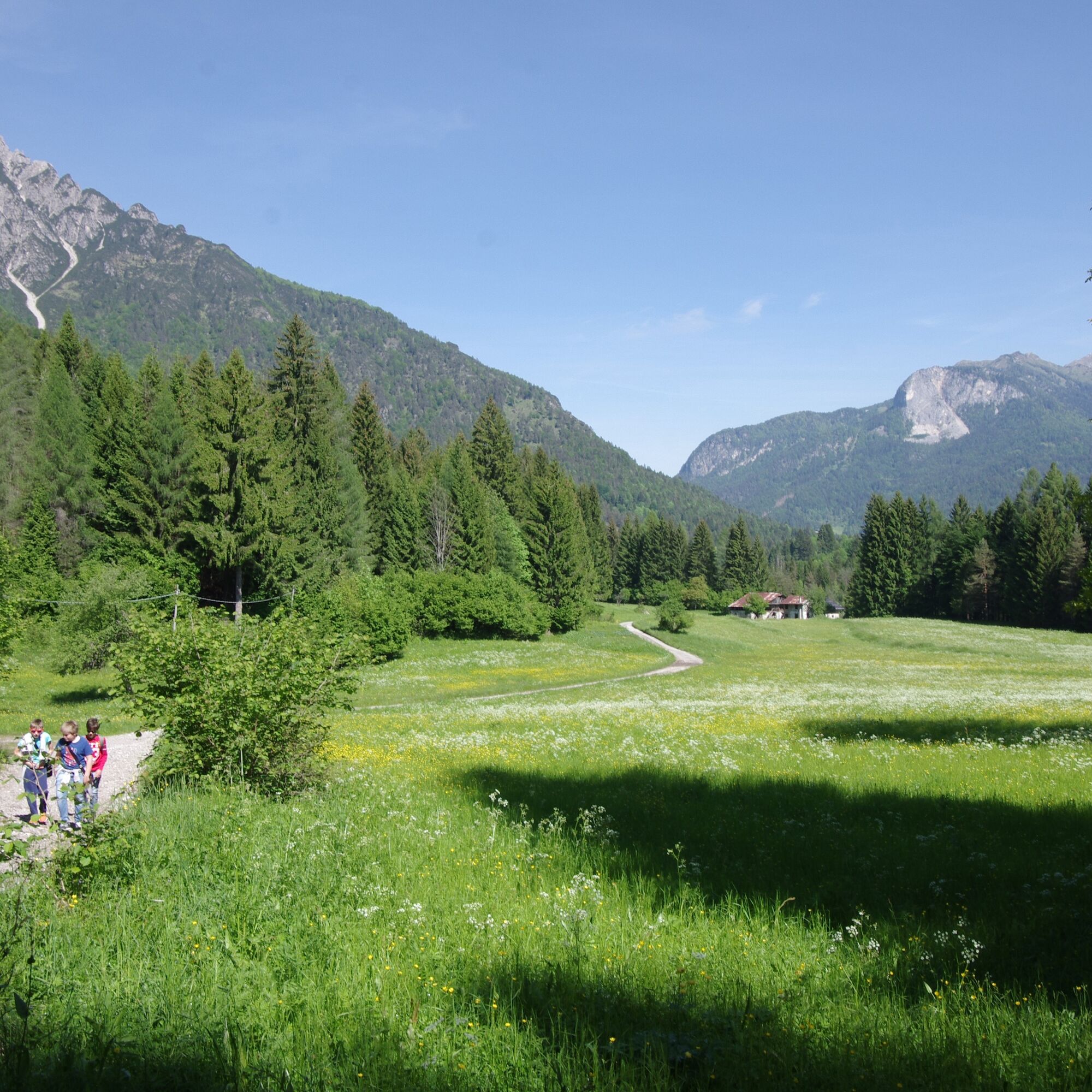
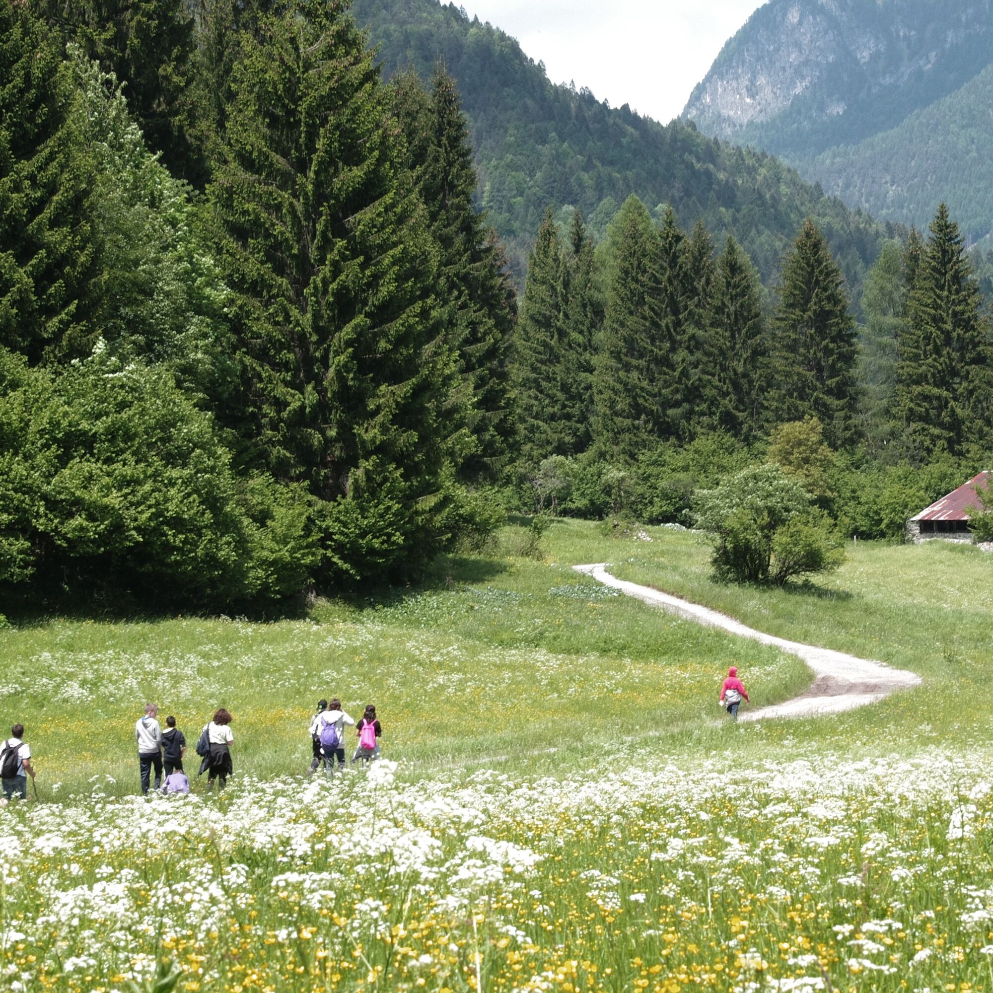
Continuing, you reach the farmhouses and meadows of Località Piniei: one of the most open and panoramic meadows in the Forni area.
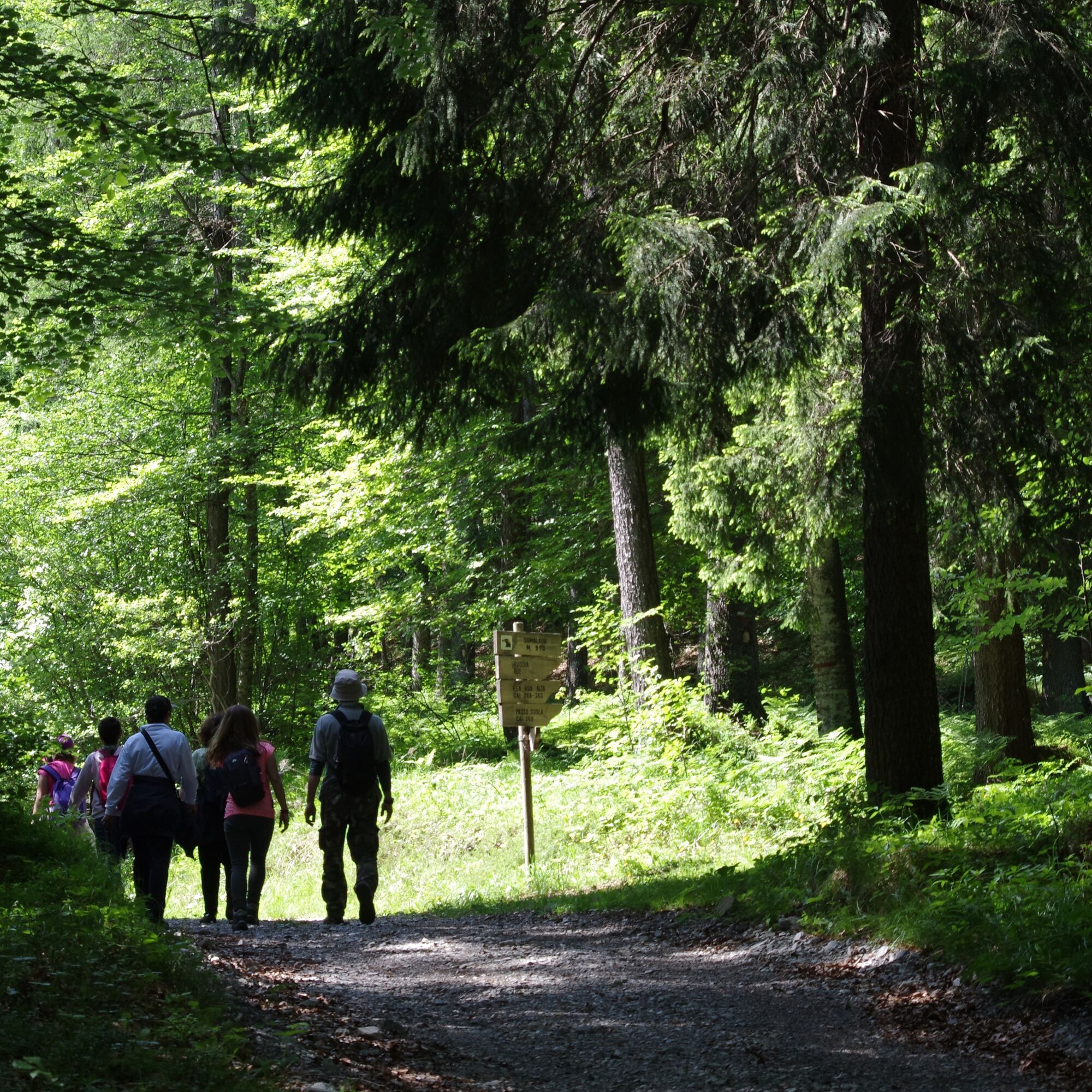
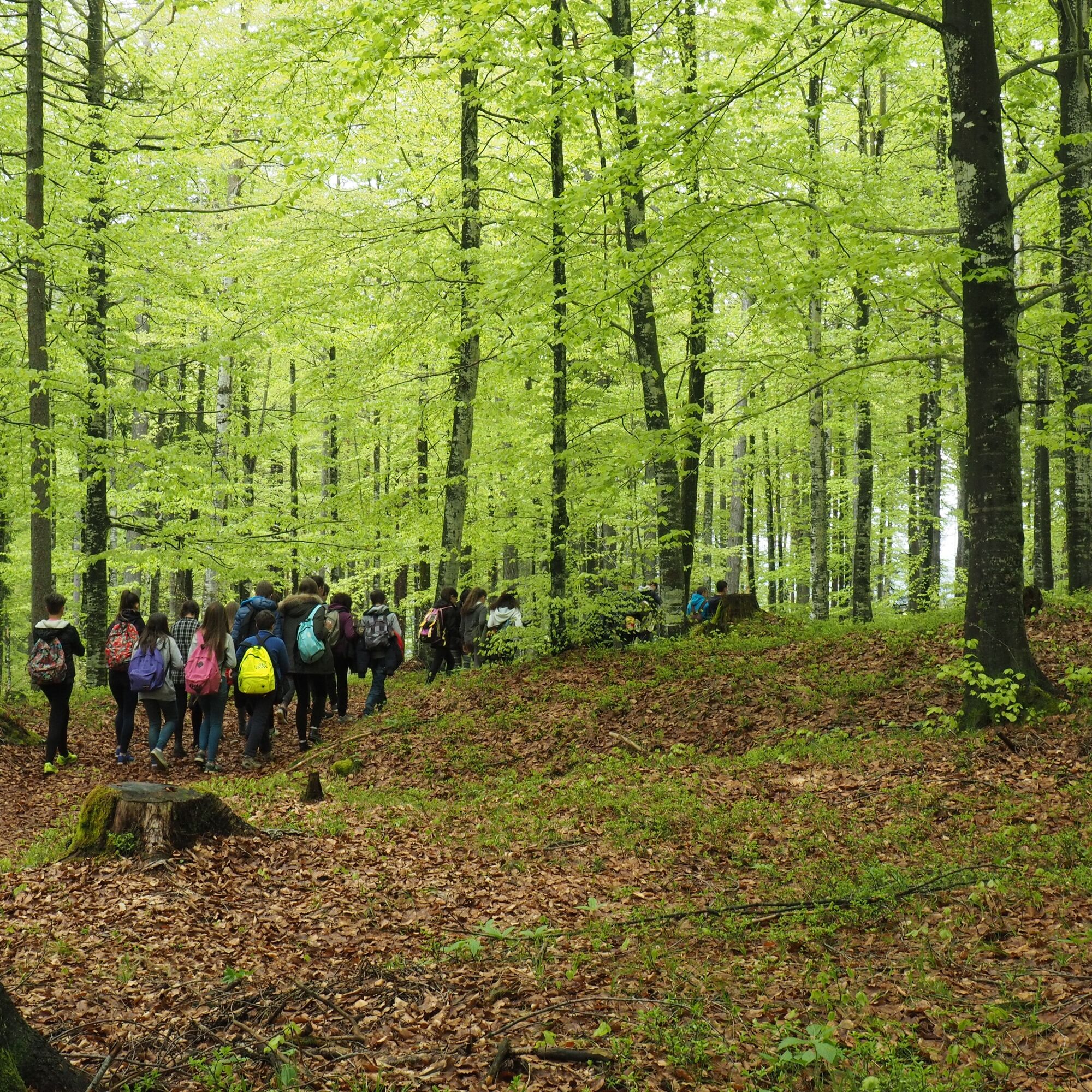
Still following the forest road, you enter valley floor beech forests, whose visit is particularly recommended in spring and winter for their incomparable colors.
For the return, follow the mountain bike route that goes into the beech forest (watch the colored markers) and then emerges onto the dirt road just before Località Piniei.
To vary the return, once you reach the first bridge crossed on the way out, it is recommended to follow the route on the other side of the river or climb to the village of Andrazza, which definitely deserves a visit for its architectural integrity.


CAI trail marker 368
Tak
Tak
From hike
T1
https://app.parcodolomitifriulane.it/itinerari/semplici-per-tutti/anello-lungo-il-fiume-tagliamento/
Kamery internetowe z trasy

Popularne wycieczki w okolicy
- 5,0
Campanile di Val Montanaia i Bivacco Perugini
średniWędrówka 2,76 km - 4,5
Tiziana Weiss nature trail
średniWędrówka 9,23 km - 4,0
Mounts Bivera and Clap Savon from Casera Razzo, alpine ride
ciężkiWędrówka 20,5 km Anello delle Dolomiti Friulane 3 Rifugio Pordenone - Rifugio Padova
średniWędrówka 7,04 km- 4,0
Colmajer ridge loop
średniWędrówka 7,51 km Pierścień Dolomitów Friulijskich z Forni di Sopra
średnidługodystansowy szlak pieszy 34,7 km- 5,0
Rifugio Flaiban Pacherini and Passo di Suola
średniWędrówka 14,3 km The multicolored campanili of Mount Zauf
średniWędrówka 14,2 kmUrtisiel and Canpuros, Dolomitic wonders
średniWędrówka 13,5 km- 4,5
Monte Bivera
ciężkiWędrówka 14,5 km
Wędrówki i tropienie


Nie przegap ofert i inspiracji na następne wakacje
Twój adres e-mail została dodana do listy mailingowej.





