






Cammino di San Cristoforo | Pedemontano Route | Stage 7 - from Paludea to Anduins

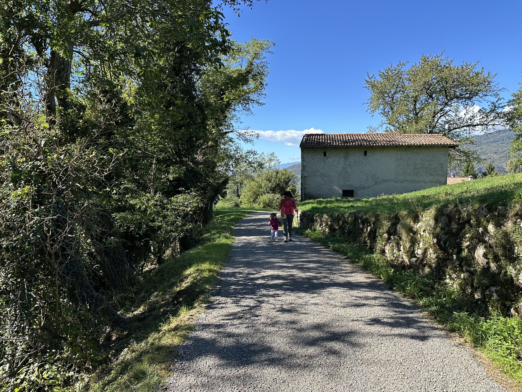
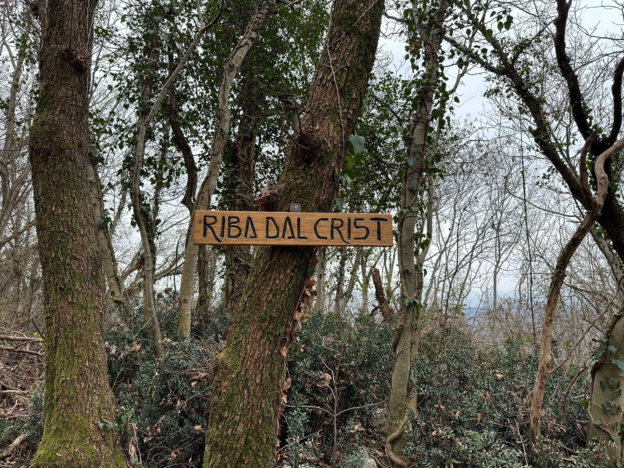
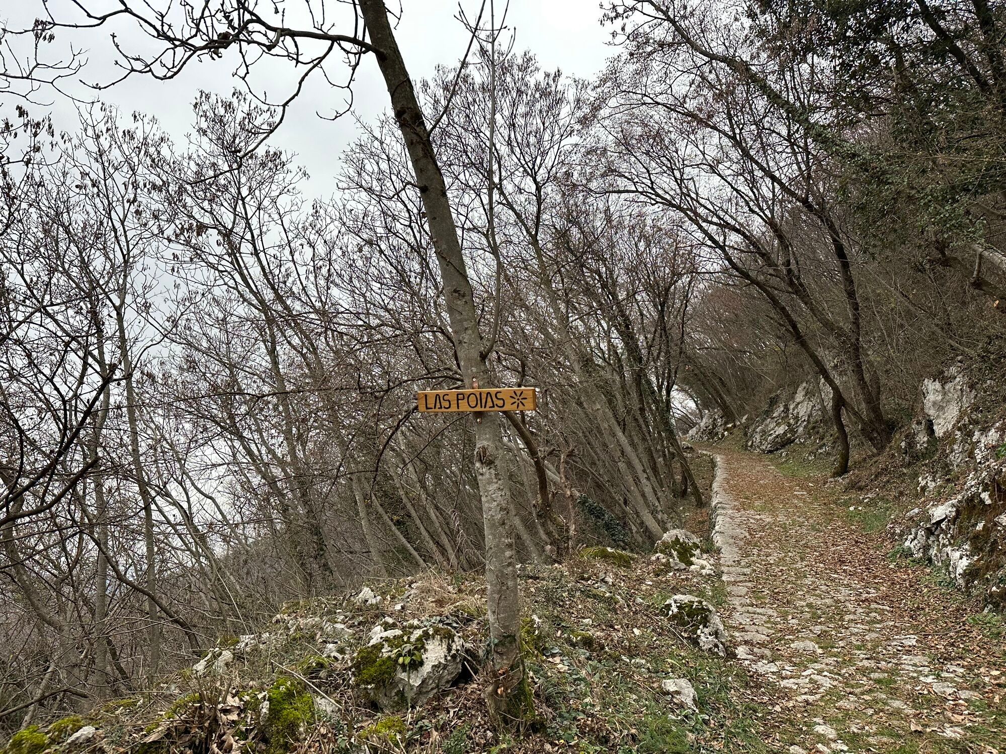
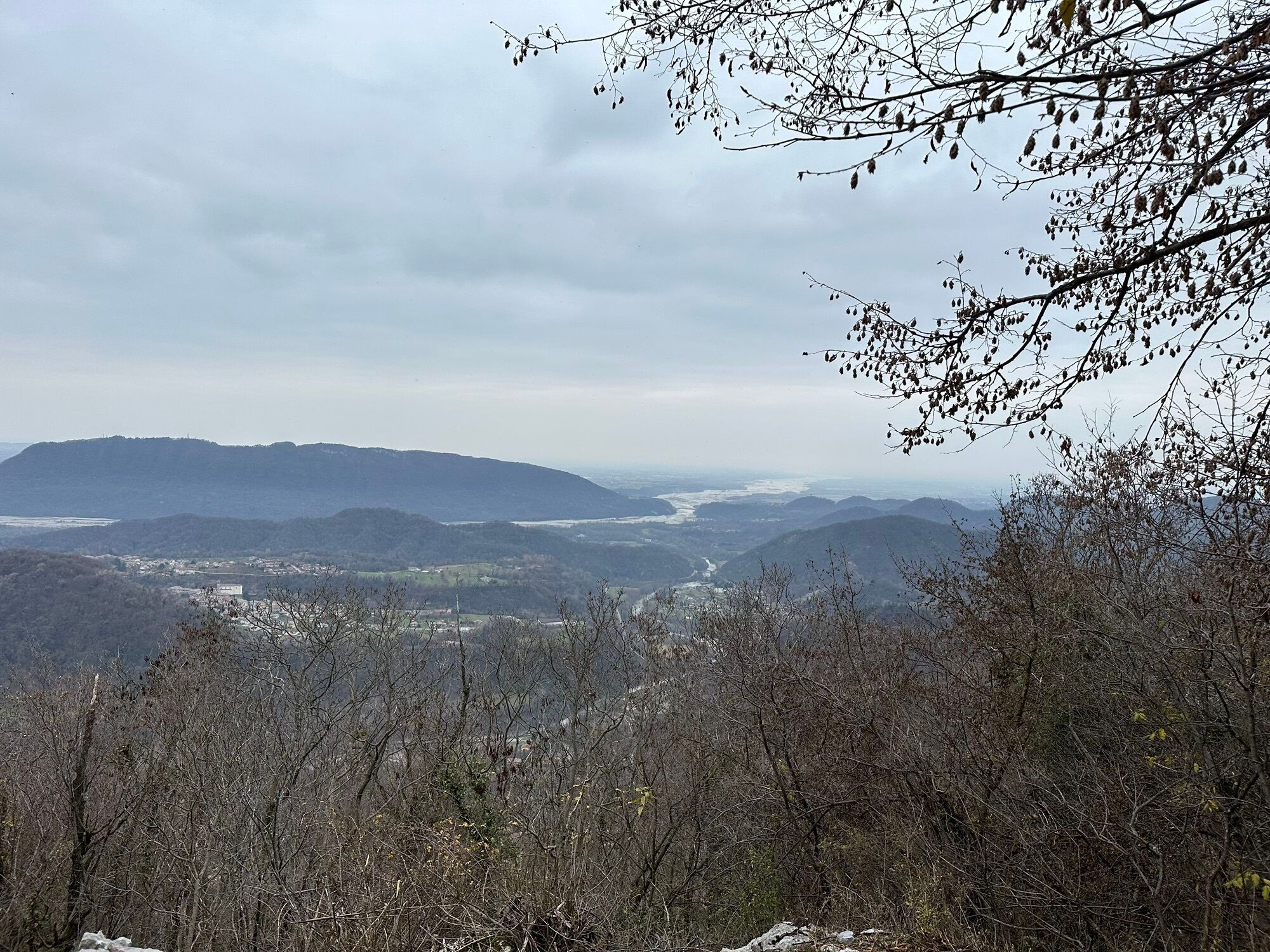
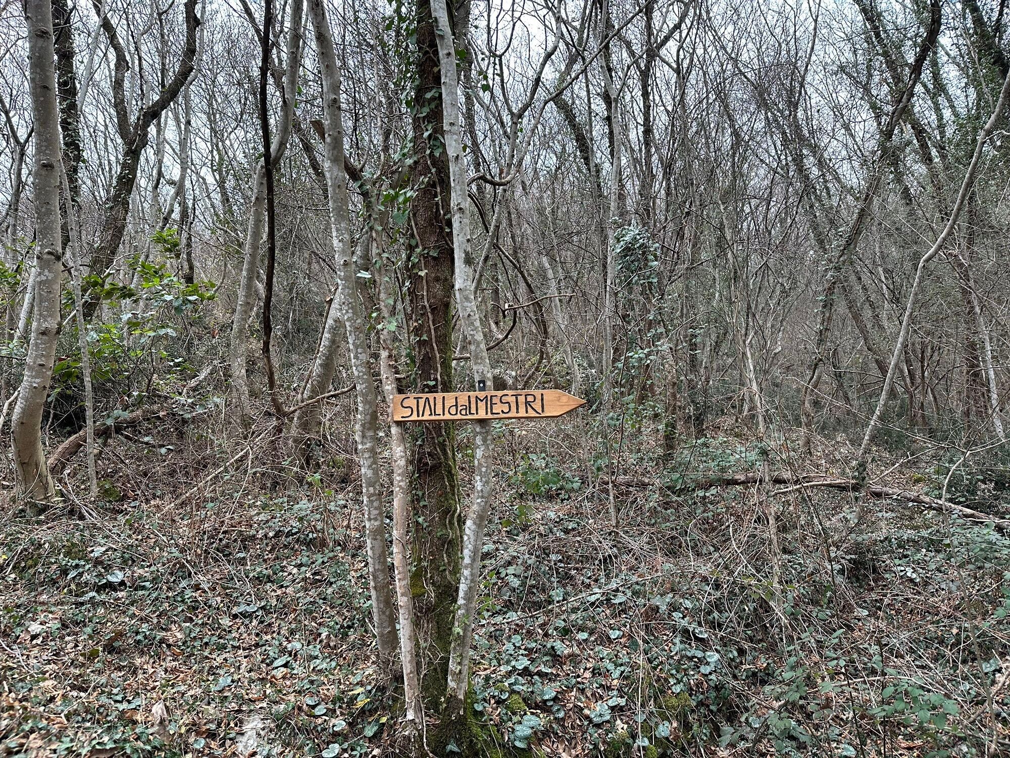
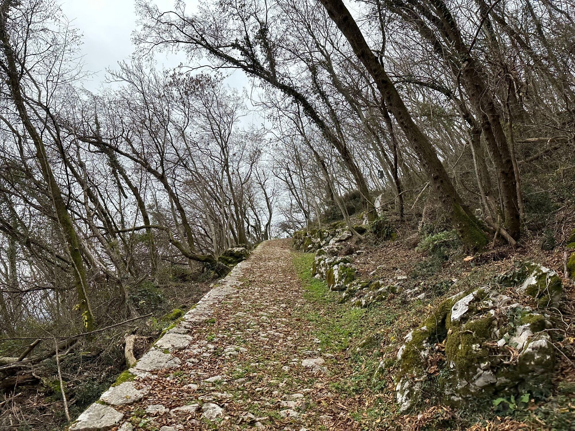
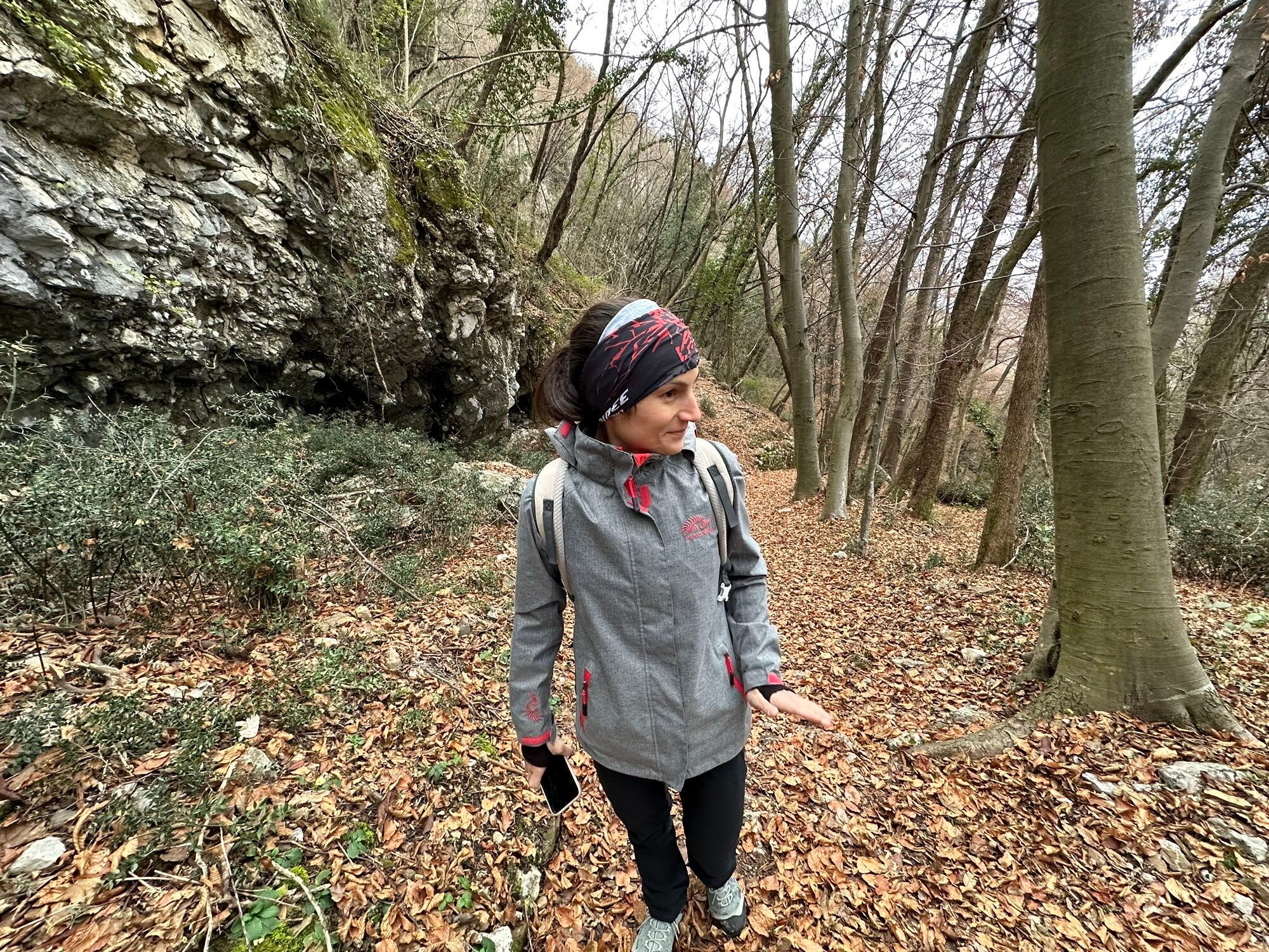
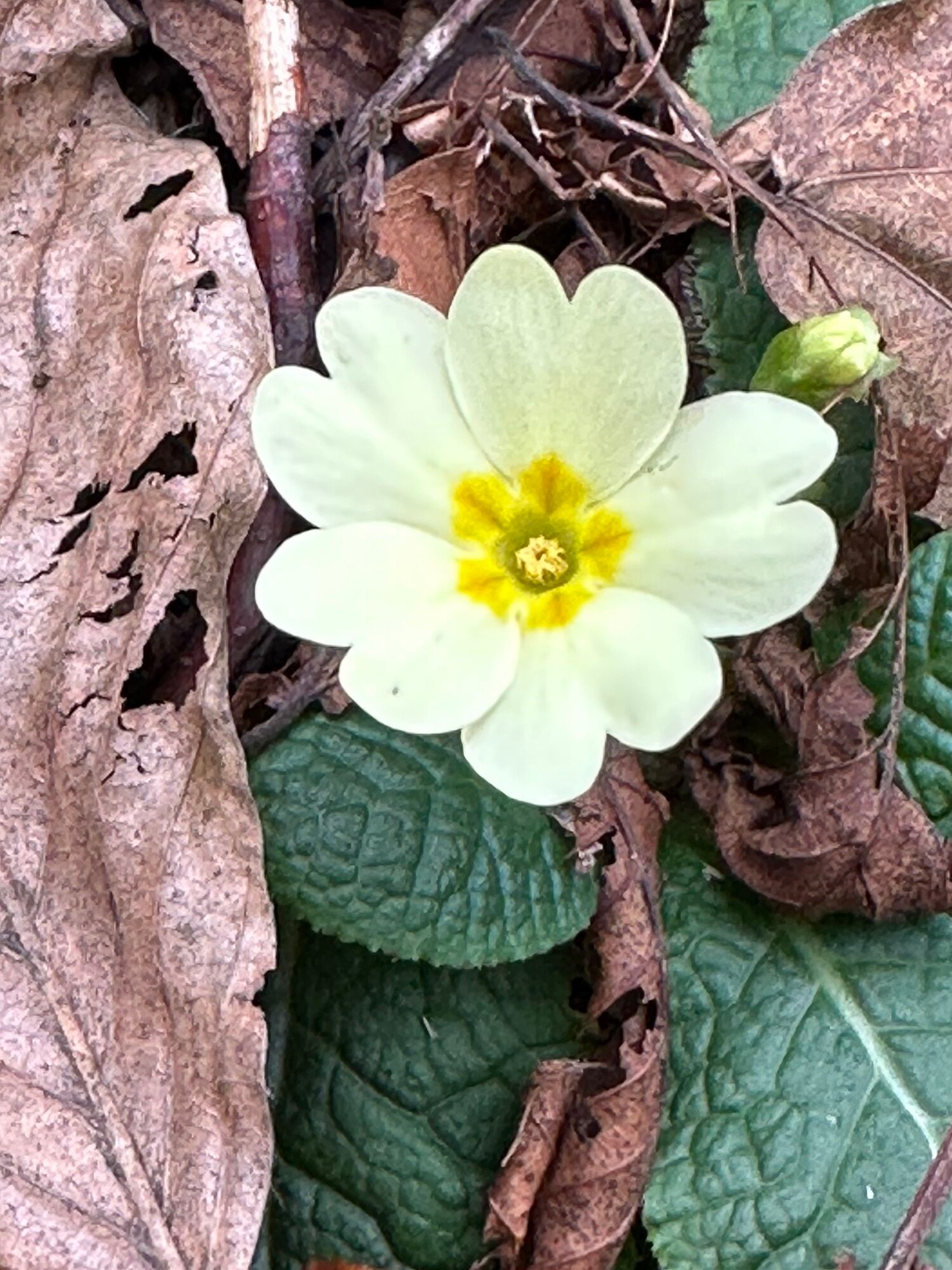
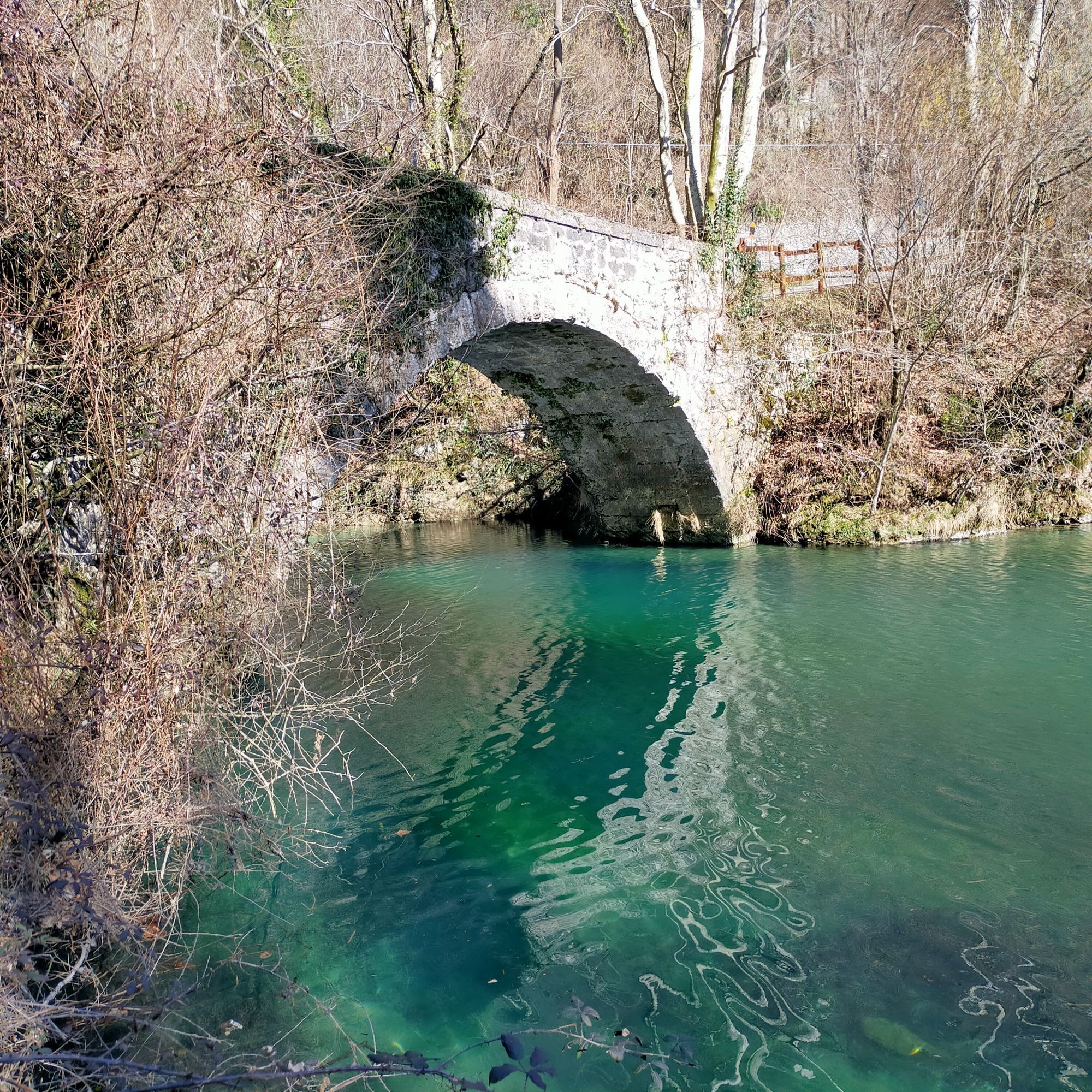
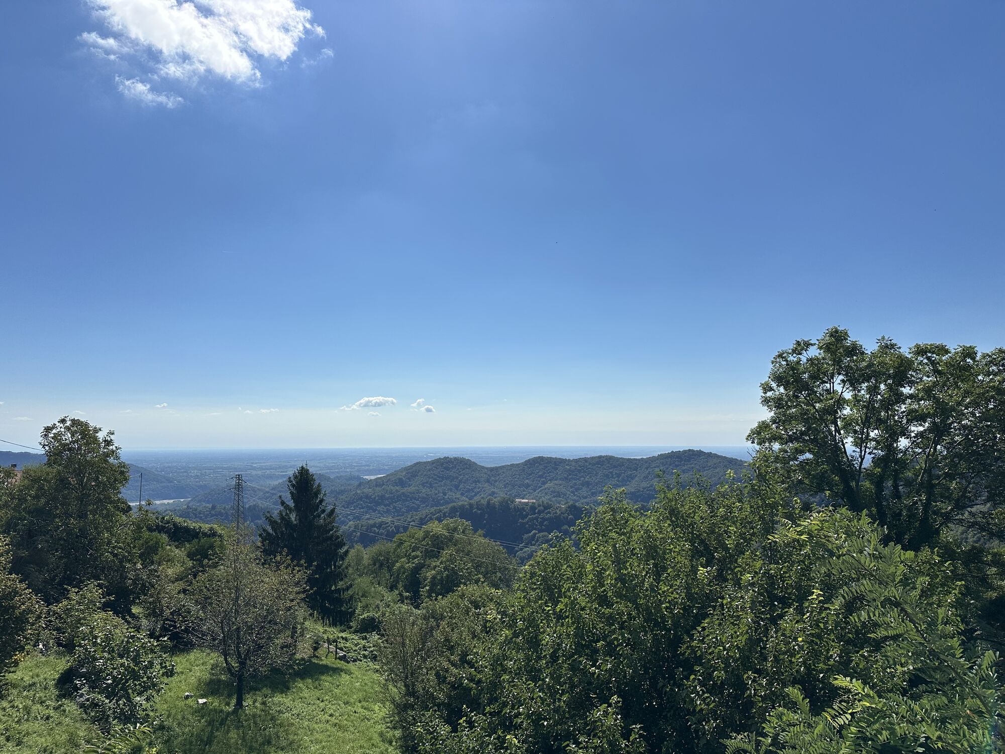
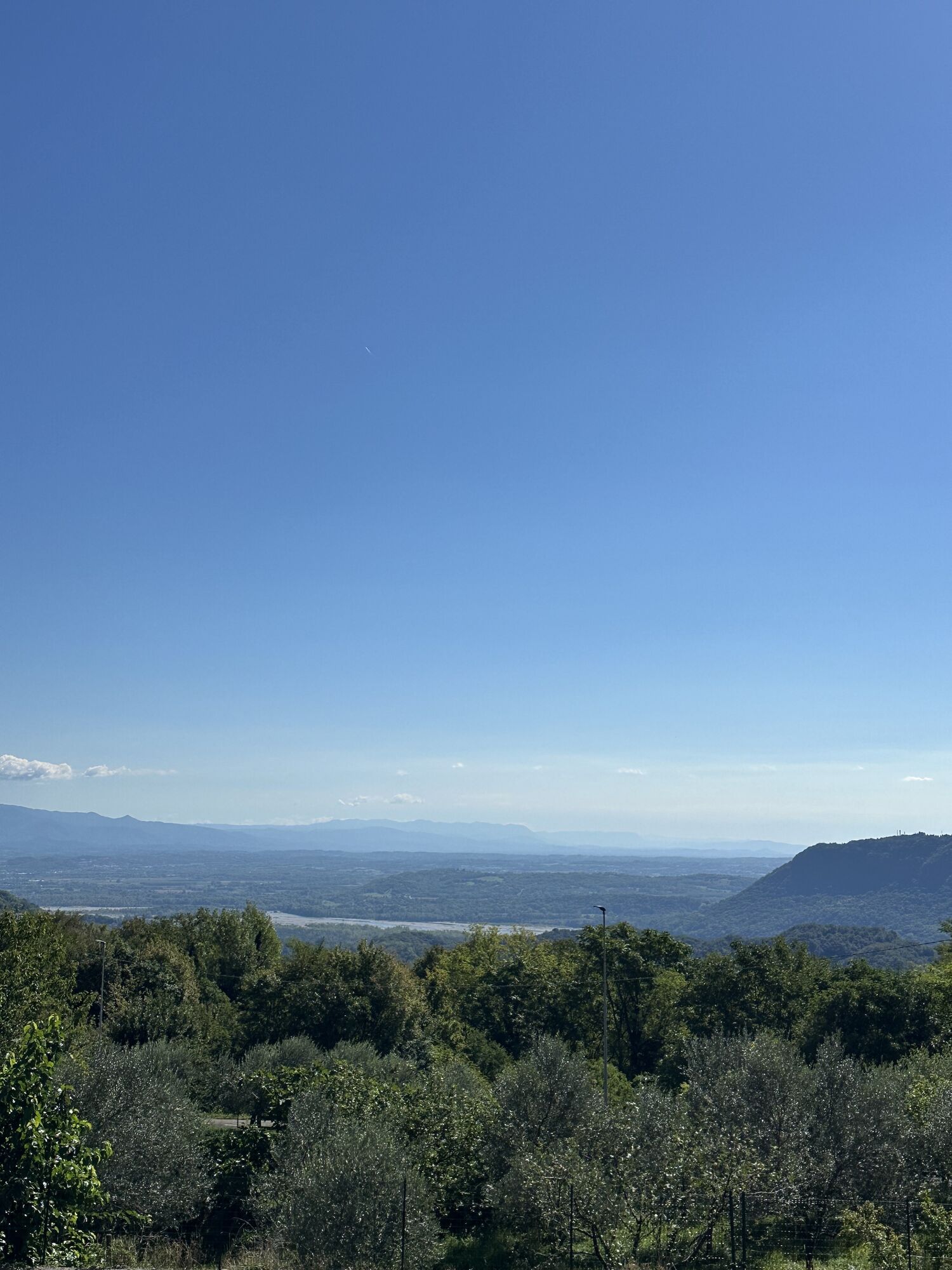
An exciting itinerary, through climbs, descents, woods, and ancient villages, like Celante di Castelnuovo. This stage will take you to the "balcony of Friuli", at Clauzetto, where you can admire a breathtaking...
An exciting itinerary, through climbs, descents, woods, and ancient villages, like Celante di Castelnuovo. This stage will take you to the "balcony of Friuli", at Clauzetto, where you can admire a breathtaking view that reaches the Adriatic Sea.
In this area, you can also discover traditions such as the church of San Giacomo, a pilgrimage destination since 1700, with a relic of the blood of Jesus Christ attributed with miraculous powers.
Continuing the route, you will come across the ancient parish church of San Martino, characterized by frescoes, writings, and an altar from Pilacorte, testimonies of the ties of this land with distant countries.
The journey continues to Vito d'Asio, the birthplace of Jacopo Ortis. Here you can admire the characteristic stone houses and the cobbled streets, which will make you feel immersed in the history of the area.
Finally, you can climb even higher into the mountains, to enjoy a breathtaking view and the generosity of nature.

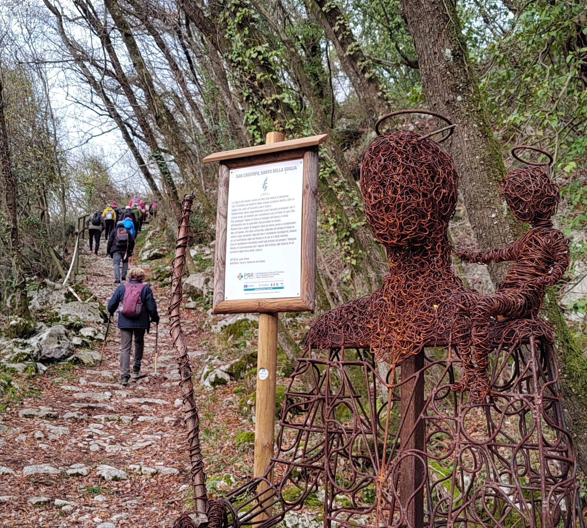

A beautiful stage of climbs and descents, of woods and old sleeping villages, like Celante di Castelnuovo, high up towards the "balcony of Friuli", Clauzetto, where you can let your gaze wander far away, up to the Adriatic Sea. Beyond the beauty of nature, there is a strong call of tradition here: the church of San Giacomo. A pilgrimage site since the mid-1700s, able to attract people even from Central European countries. Pilgrims came here to pray before the relic of the precious blood of Jesus Christ, to which miraculous powers were attributed.
Soon the woods await you again and a surprise, the ancient parish church of San Martino, with frescoes and writings, and an altar from Pilacorte that recall the ties of this land with distant countries, testimonies of movements and exchanges, of the perpetual wandering of the human being.
Proceed to Vito d’Asio, the birthplace of Jacopo Ortis, a village with characteristic houses and cobbled stone streets, and then still higher into the mountains, to expand the view again and enjoy generous nature.
Standard hiking equipment
The route passes through several villages, so there are opportunities to find water and refreshment along the way.
Paludea is reachable from Travesio or Clauzetto via SP22;
from Lestans via SP62.
LINE P26 Clauzetto-Travesio-Spilimbergo
It is possible to park in the village of Paludea.
Tourist route - T
It is recommended to follow it as described, from Paludea to Anduins.
Popularne wycieczki w okolicy
-
4,9
FVG1 Trasa rowerowa Alpe Adria (C100)
średniKolarstwo długodystansowe 176,7 km -
4,7
Monte Cuar loop
średniWędrówka 7,26 km -
FVG3 Trasa rowerowa Pedemontana (C300)
ciężkiKolarstwo długodystansowe 182,0 km -
5,0
PATH OF THE POZZE SMERALDINE
światłoWędrówka 6,77 km -
Loop of Monte di Ragogna
średniWędrówka 11,9 km -
5,0
Monte Prat loop from Cornino
średniWędrówka 15,2 km -
Palcoda i Tamar, opuszczone wioski
średniWędrówka 8,38 km -
Szlak w San Daniele del Friuli (R007)
średniKolarstwo długodystansowe 31,4 km -
Monte Valinis loop from Sottomonte
średniWędrówka 8,41 km -
5,0
STRADA DA LIS FORNAS TRAIL
światłoWędrówka 5,77 km
Wędrówki i tropienie


Nie przegap ofert i inspiracji na następne wakacje
Twój adres e-mail została dodana do listy mailingowej.





