






KL_N10 Senza Confini
Poziom trudności: D
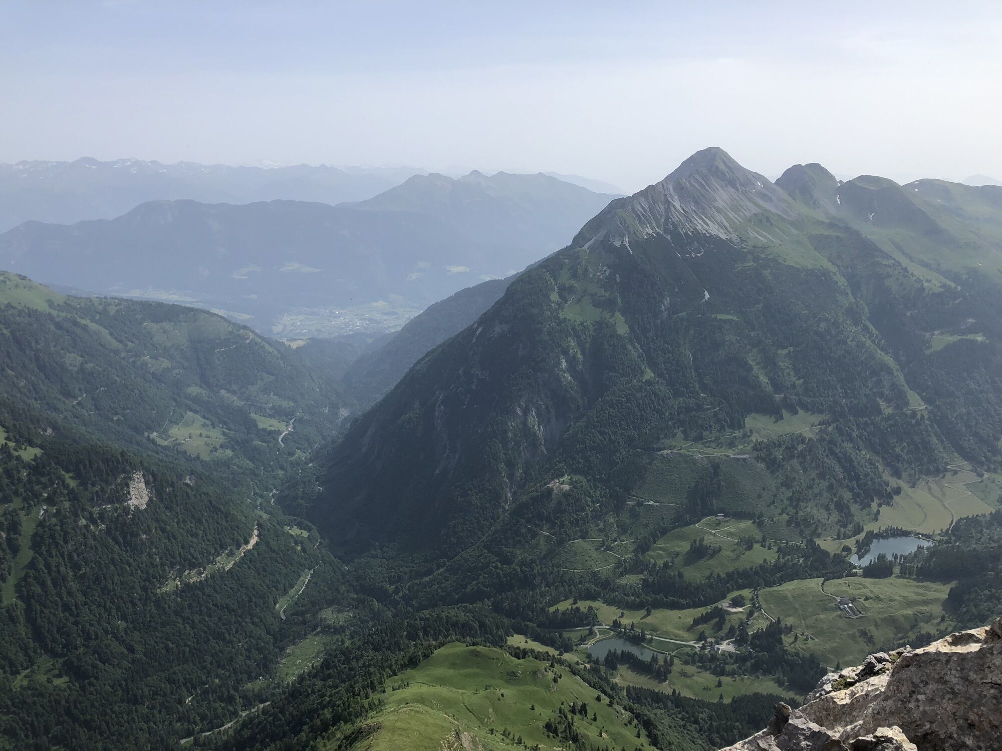
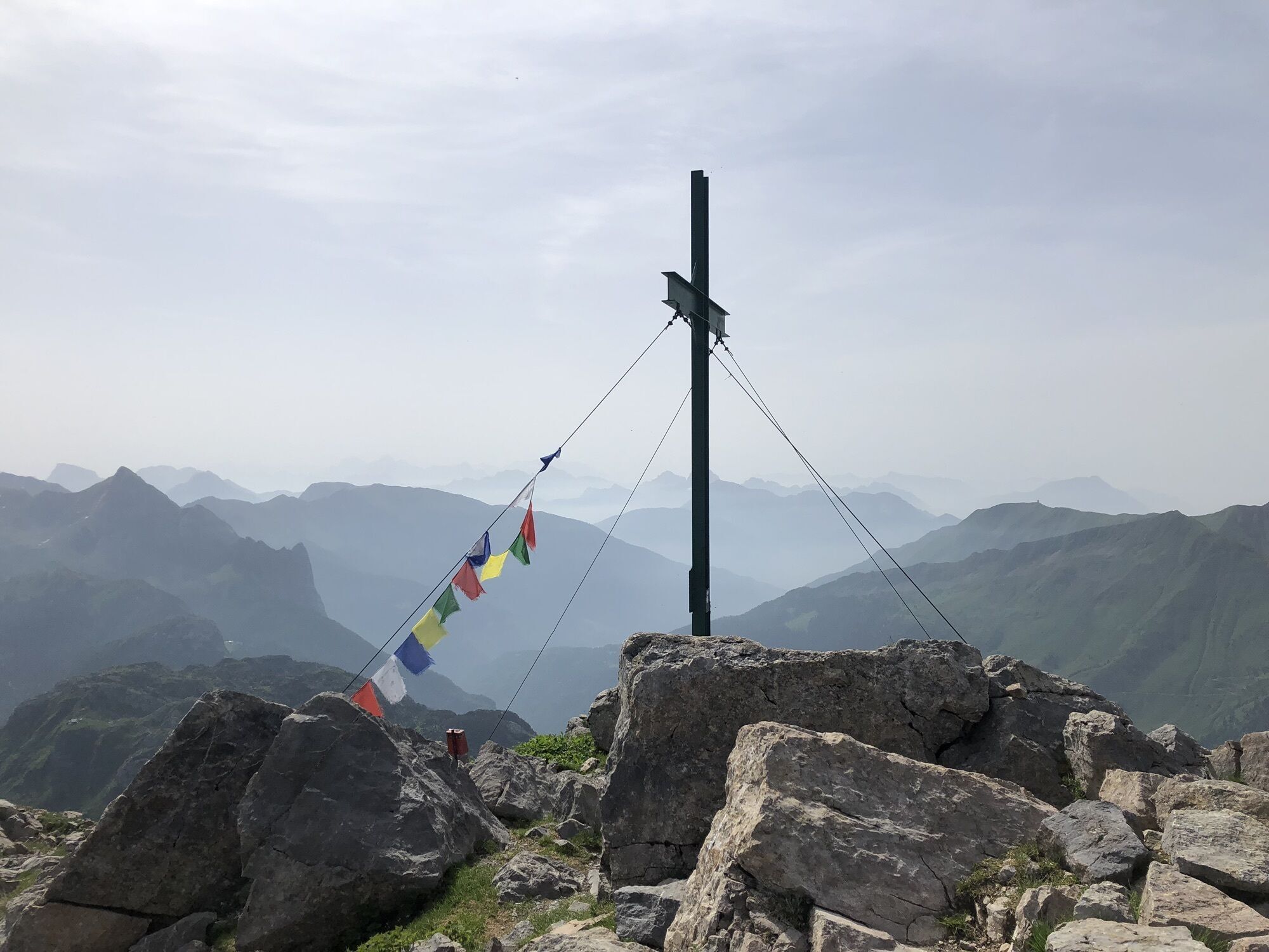
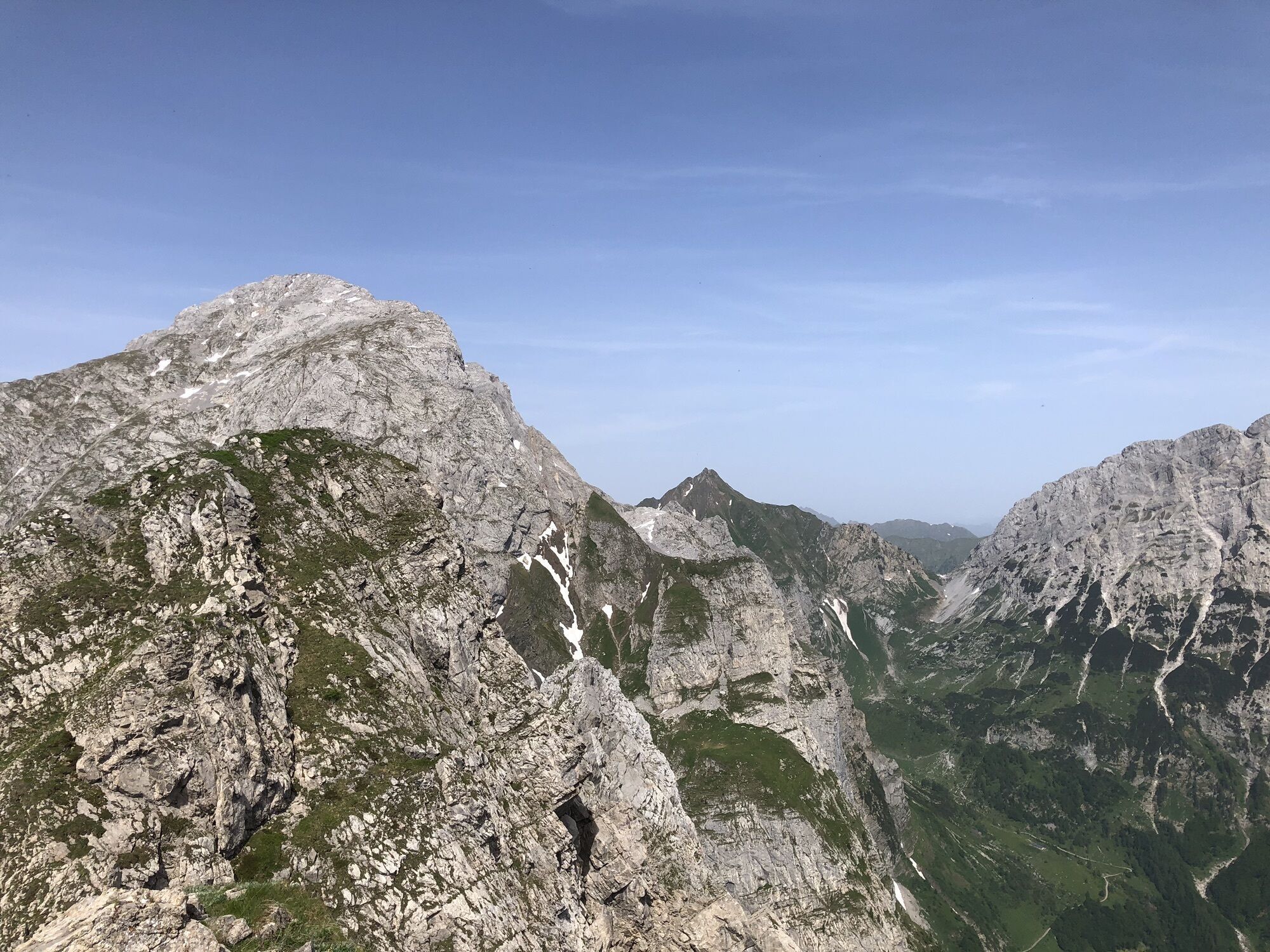
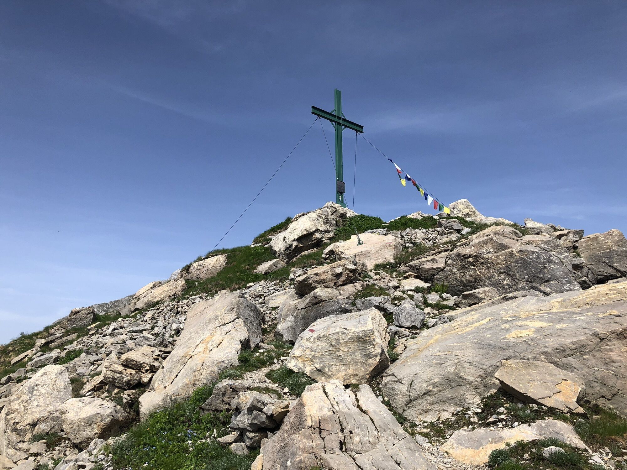
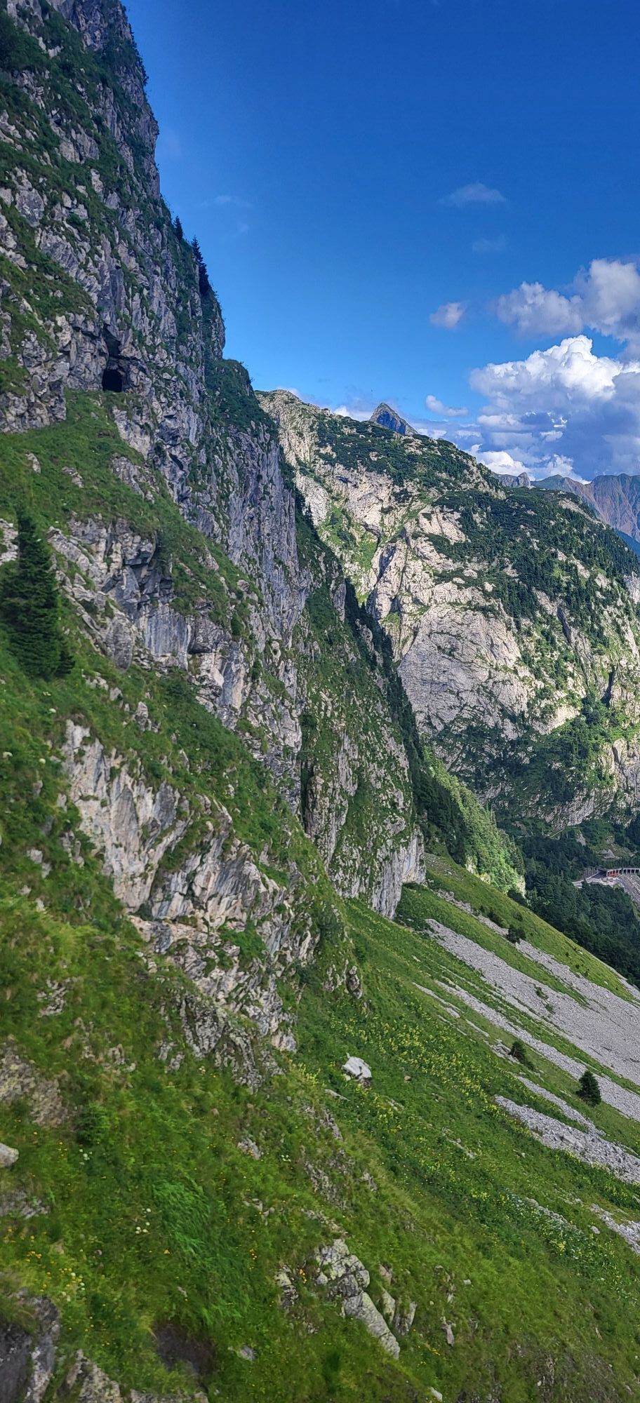
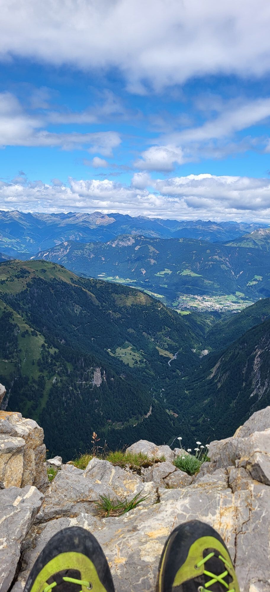

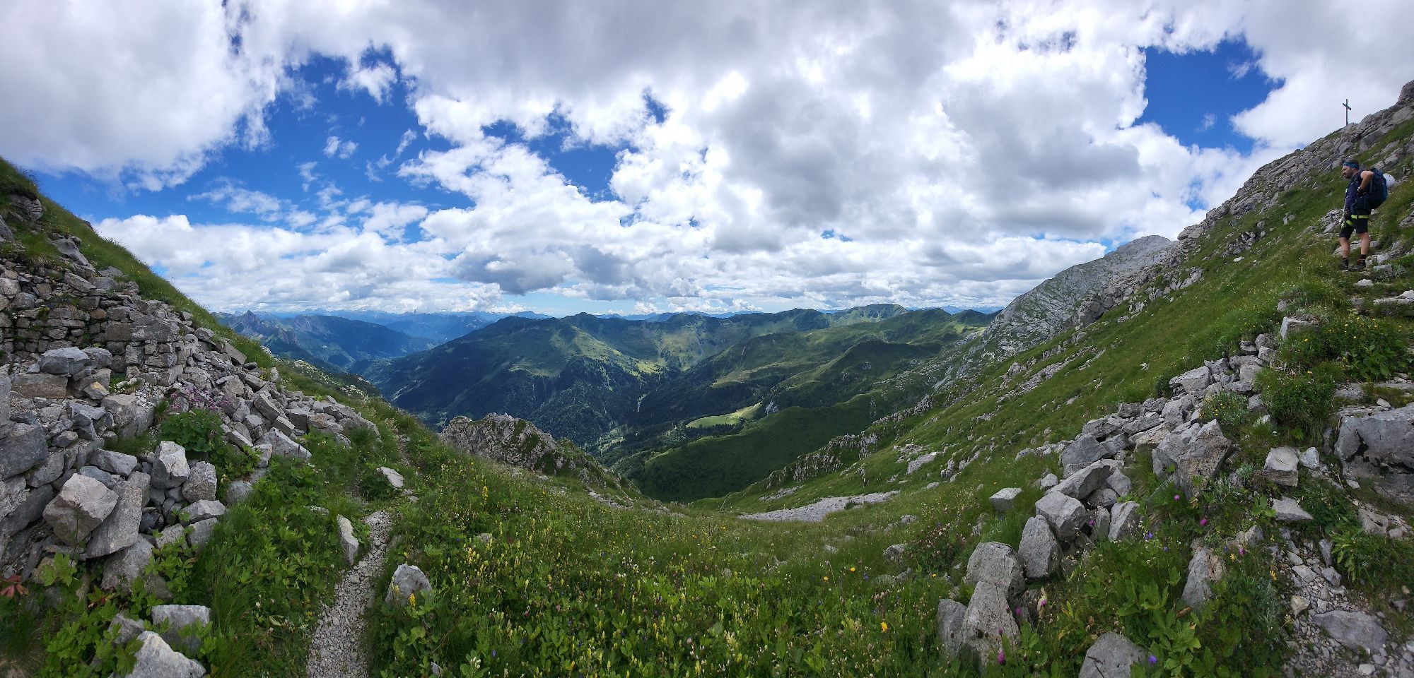
If you are not only interested in exposed and strenuous via ferrata routes, but also have an interest in history, this via ferrata is just right for you.
The route offers demanding, varied individual sections...
If you are not only interested in exposed and strenuous via ferrata routes, but also have an interest in history, this via ferrata is just right for you.
The route offers demanding, varied individual sections with excellent securing.

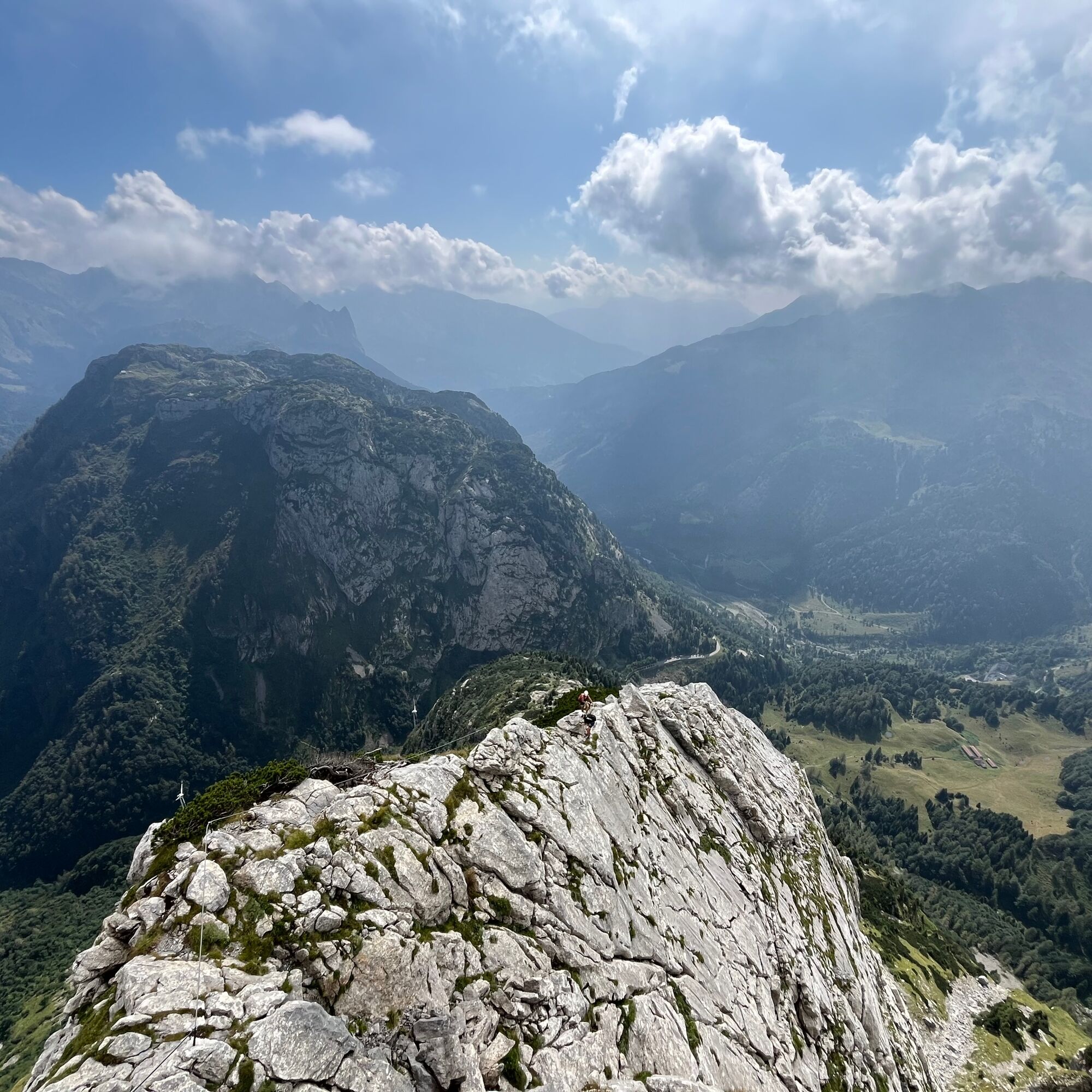
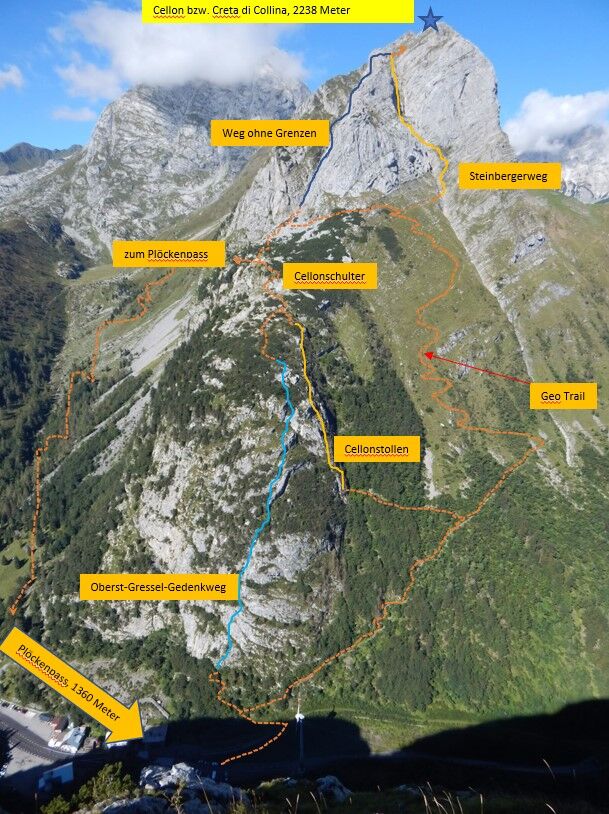
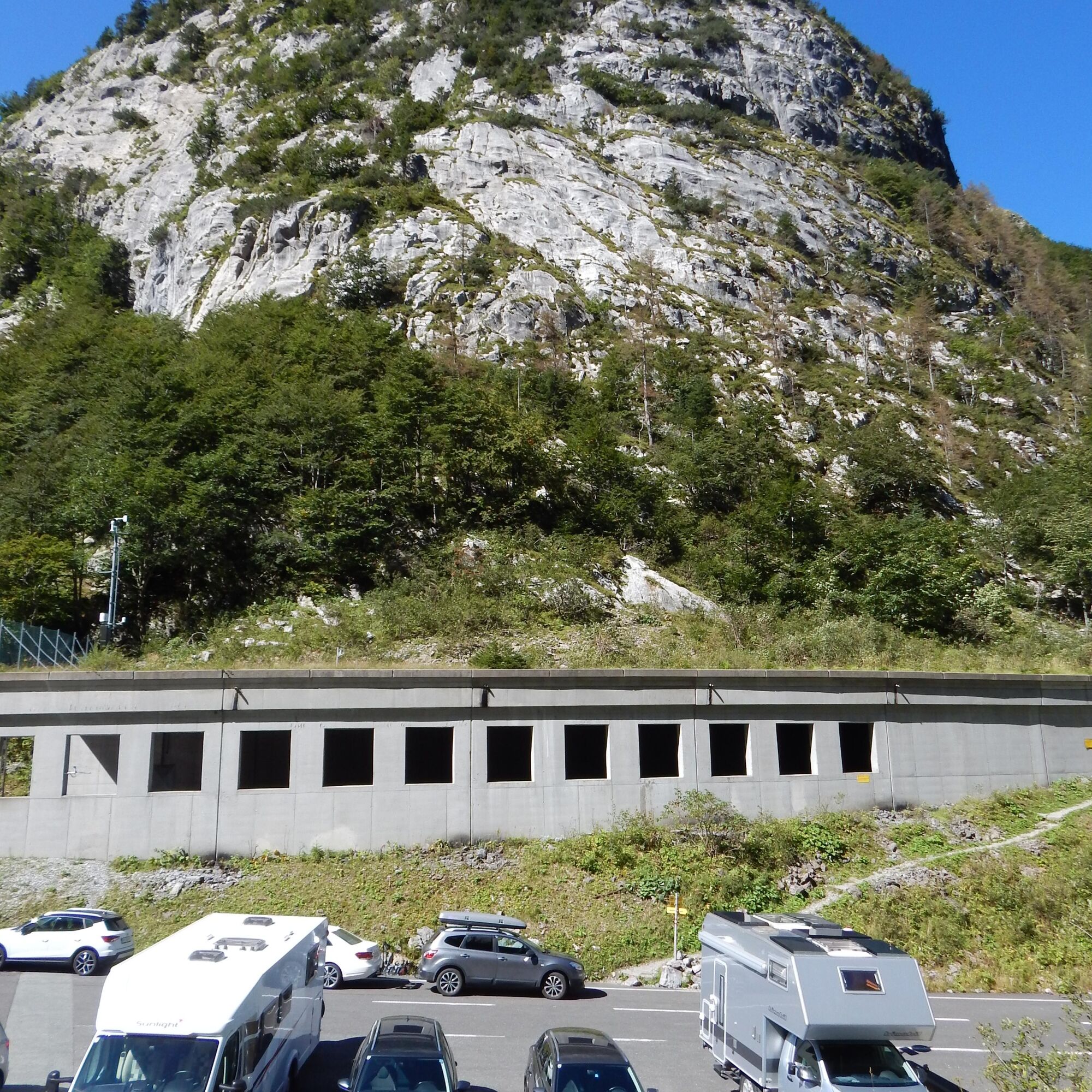

There are 2 approach options to get to the Senza Confini via ferrata:
Oberst Gressel Memorial Trail
From Plöckenpass head towards Carinthia - up to the beginning of the hiking trail 427-4. Follow the signs and ascend into an open forest. At the first fork, turn left to the entry of the Oberst-Gressel via ferrata. There is a continuous steel cable with few rungs.
War-historical Cellon tunnel
From Plöckenpass head towards Carinthia - up to the beginning of the hiking trail 427-4. Follow the signs and ascend into an open forest. At the first fork, turn left to the entry of the Oberst-Gressel Memorial via ferrata - however, you go right here. At the second fork, you reach the tunnel entrance. In the tunnel, there are wire cables and step pins.
Further via ferrata route - Senza Confini:
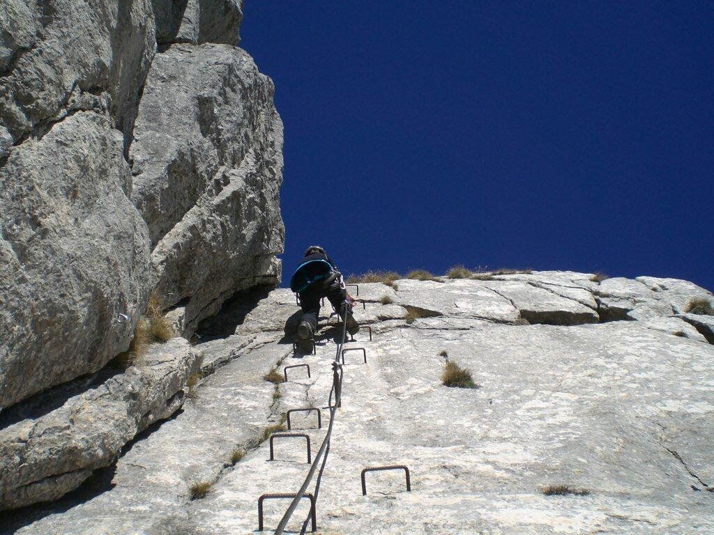
From the entry, it goes briefly up a somewhat brittle gully (B). Then follows a mighty, increasingly steeper slab ramp (first B/C, then C/D) with rungs.
Then it goes over an edge, onto a blocky ridge (B/C), to a demanding, narrow chimney (D). Another ridge section follows (B). After a short steep ascent (B/C) and two notches, it goes to the power-draining crux, in the form of a very steep and pushing slant crack (D). A slabby ridge (B) leads to a saddle. Over a narrow ramp (C) and one more ridge section (B) it goes to the exit.
Tak
FAIR PLAY & RESPECT:
Mindfulness for nature – landowners – your health.... and safety in the mountains have the highest priority during your route/your mountain sport experience and the related route planning!
Therefore, check the rules of conduct before every via ferrata experience - Mountain safety - as well as the current weather conditions.
Waste disposal:
Waste cannot always be avoided – but it has no place in nature and must be disposed of properly (preferably in the valley or at home).
Emergency numbers:
Europe emergency number: 112 (access on all available networks)
Mountain rescue Austria: 140
Public transport:
The most sustainable way to get here is by train to Oberdrauburg (coming from Lienz or Villach) or to Hermagor (coming from Villach).
From Oberdrauburg or Hermagor, you can then reach the town of Kötschach-Mauthen by bus. From there, depending on the season and availability, there is the possibility to use the call bus or a taxi to get to Plöckenpass.
Details at - Mobility information Nassfeld and Route planner Kärntner Linien
Arrival by car:
From Hermagor via the B111 (Gailtal road) or from Oberdrauburg via the B110 (Plöckenpass road) to Kötschach-Mauthen and from there on towards Plöckenpass.
Free parking is available directly to the left after the street gallery of the B110 (just before the national border), near the wind turbine, as well as after the national border - directly at Plöckenpass.
D
Are you looking for via ferrata tips in the region as well as a state-certified mountain guide for a guided via ferrata tour?
You can find this and many other infos at - Route tips and provider info
Places to eat:
In Kötschach-Mauthen there are numerous year-round open dining options - details at Service A-Z.
This via ferrata requires a high level of endurance - a long ascent as well as descent awaits you.
Note:
The difficulty rating refers "only" to the via ferrata itself, not the approach and descent.
 Uzyskaj wgląd
Zawsze na żywo z ponad 9 500 kamer internetowych. bergfex Jako użytkownik Pro, możesz teraz zobaczyć odpowiednie kamery internetowe dla wielu wycieczek w aplikacji wycieczki od. Pozwala to na bezpośredni podgląd aktualnych warunków.
Uzyskaj wgląd
Zawsze na żywo z ponad 9 500 kamer internetowych. bergfex Jako użytkownik Pro, możesz teraz zobaczyć odpowiednie kamery internetowe dla wielu wycieczek w aplikacji wycieczki od. Pozwala to na bezpośredni podgląd aktualnych warunków.

Popularne wycieczki w okolicy
-
4,5
Karnischer Höhenweg – Etappe 4: Hochweißsteinhaus – Wolayersee Hütte
ciężkidługodystansowy szlak pieszy 15,9 km -
4,7
Obergail - Obergailer Alm - Obergailer Lake - Enderberg hut - Source for Health & Peace - Madonna circular hiking route - Obergail
średniWędrówka 11,4 km -
4,9
Karnischer Hauptkamm - Hohe Warte 2.780m - Hike and Bike
ciężkiWycieczki górskie 19,5 km -
4,3
Mountainbiketour von der Hubertuskapelle zum Wolayersee
ciężkiMountainbike 9,06 km -
3,7
Cellon-Stollen und Senza Confini auf den Cellon und Steinberger Weg zum Abstieg
średniVia ferrata 7,09 km -
3,6
RW_N61 Kleiner Pal (1,867 m)
ciężkiWędrówka 6,52 km -
4,3
WW_N18 flower paradise Mussen
średniWędrówka 6,52 km -
5,0
Valentin-Wolayersee-Runde
średniWędrówka 12,4 km -
4,5
03 Südalpenweg, 24. Etappe: Valentinalm - Wolayerseehütte
średnidługodystansowy szlak pieszy 9,63 km -
5,0
Frischenkofel
średniWędrówka 5,25 km
Wędrówki i tropienie


Nie przegap ofert i inspiracji na następne wakacje
Twój adres e-mail została dodana do listy mailingowej.





