






KL_N7 Enrico Contin
Poziom trudności: A/B
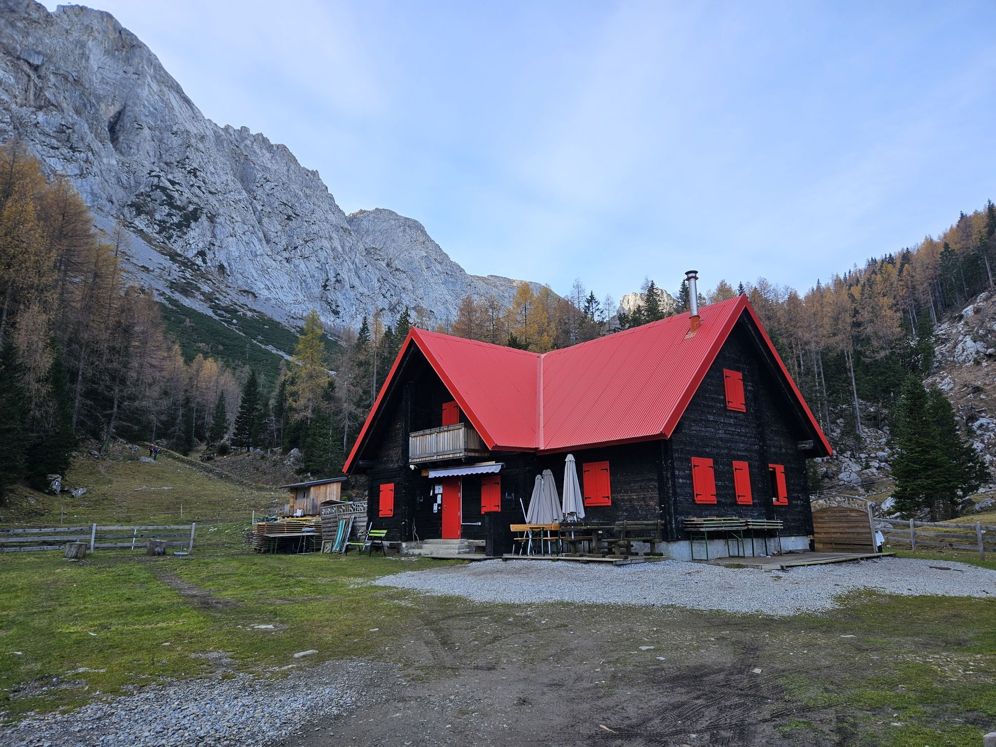
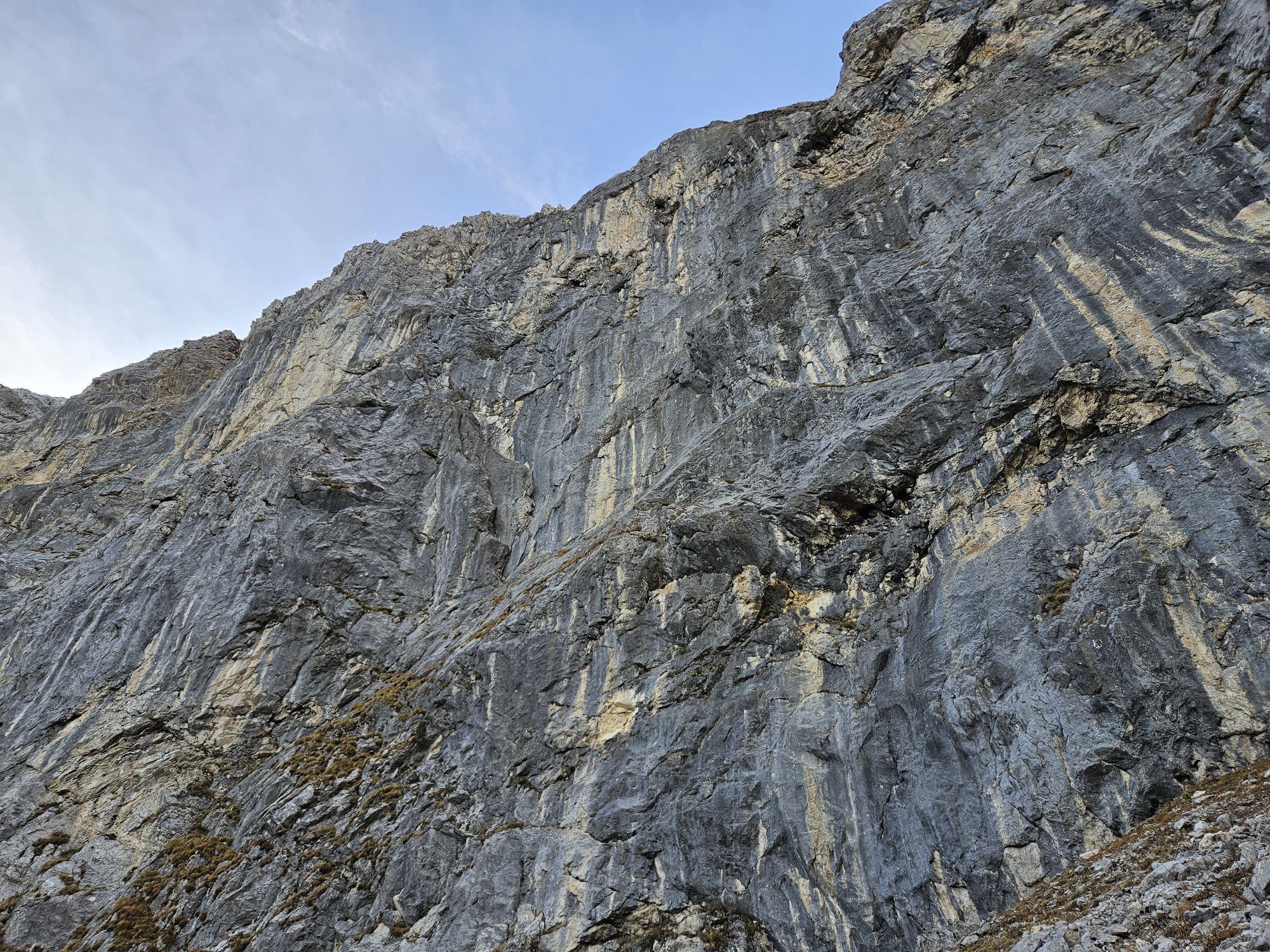
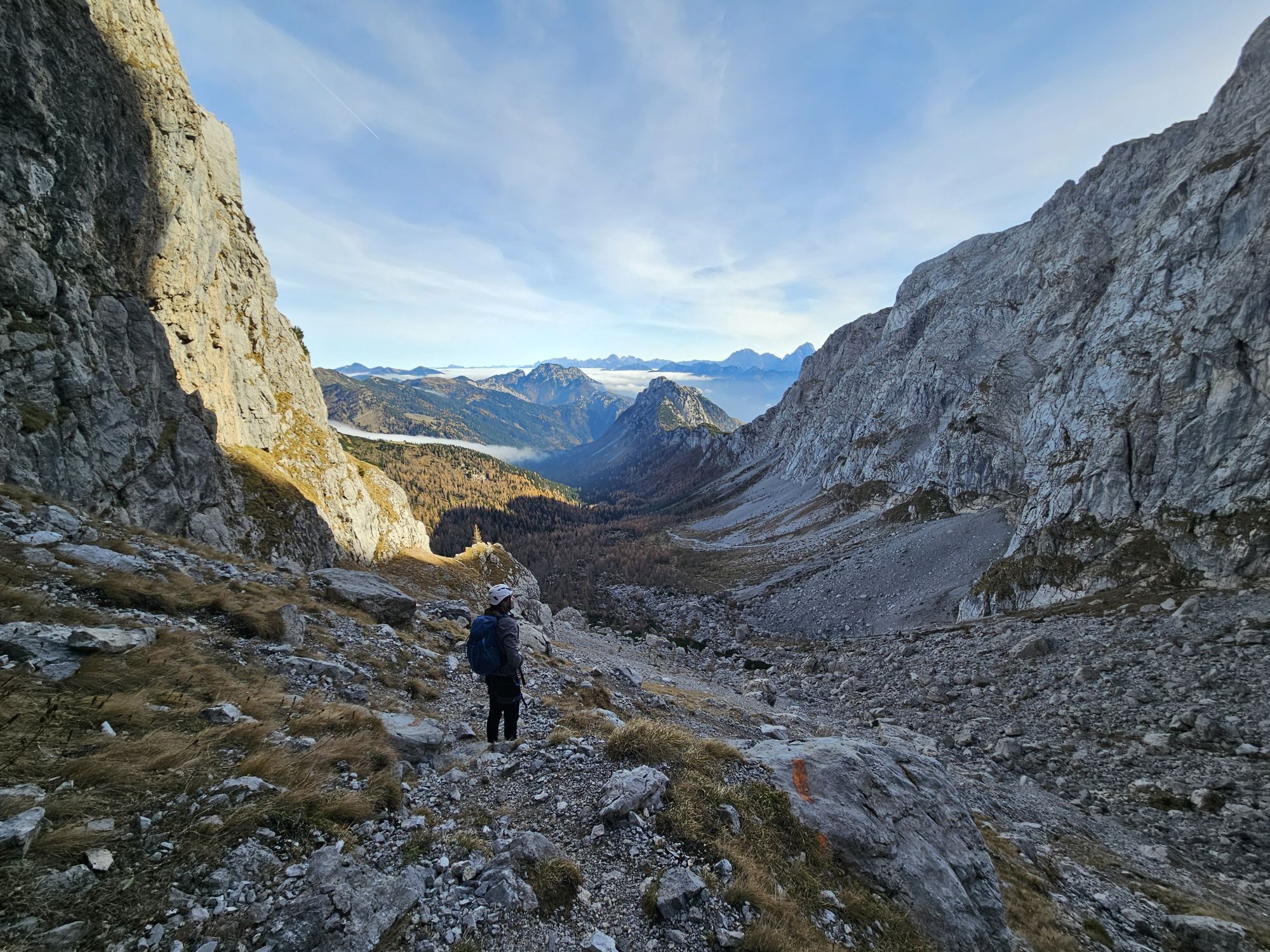
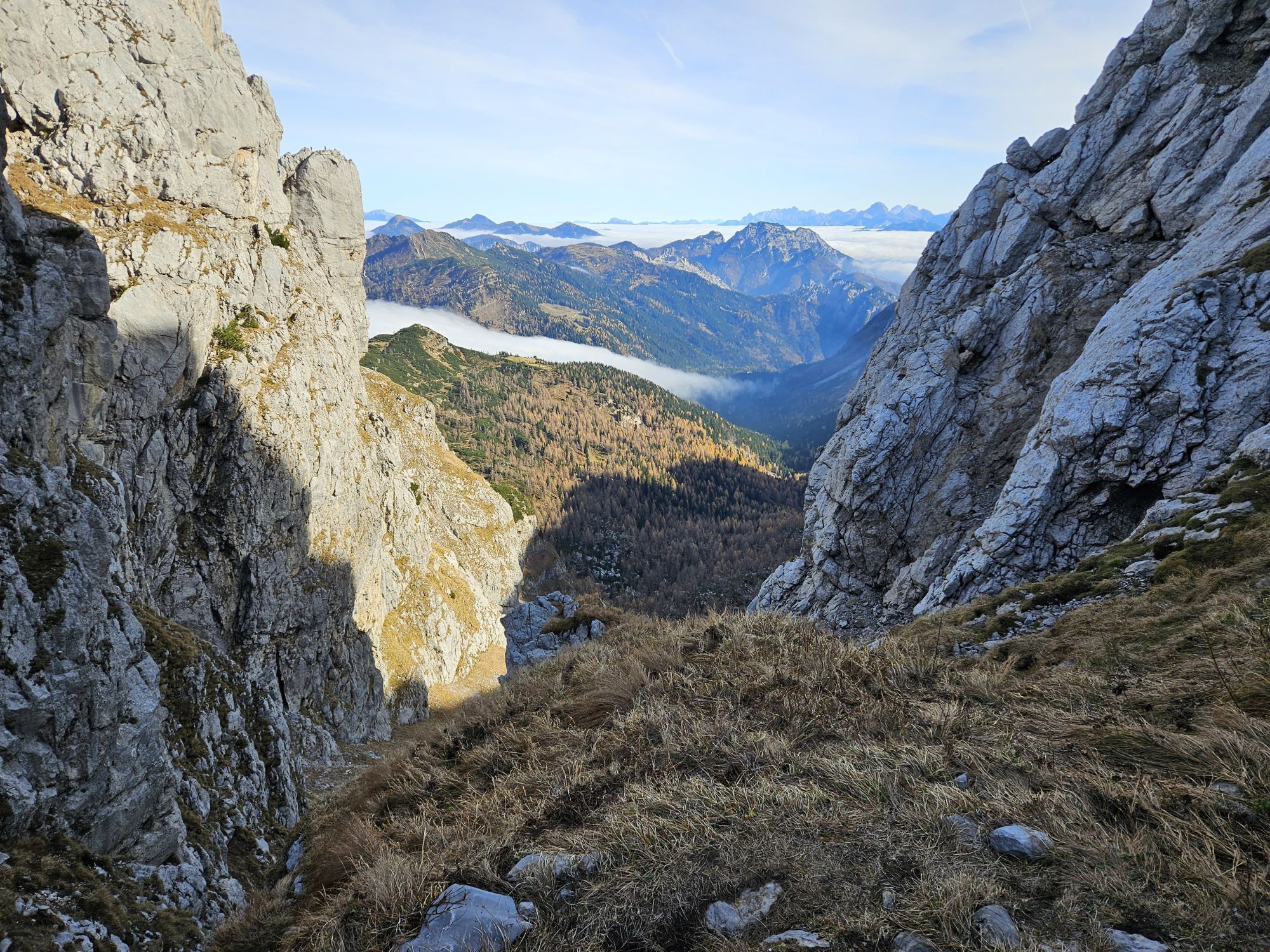
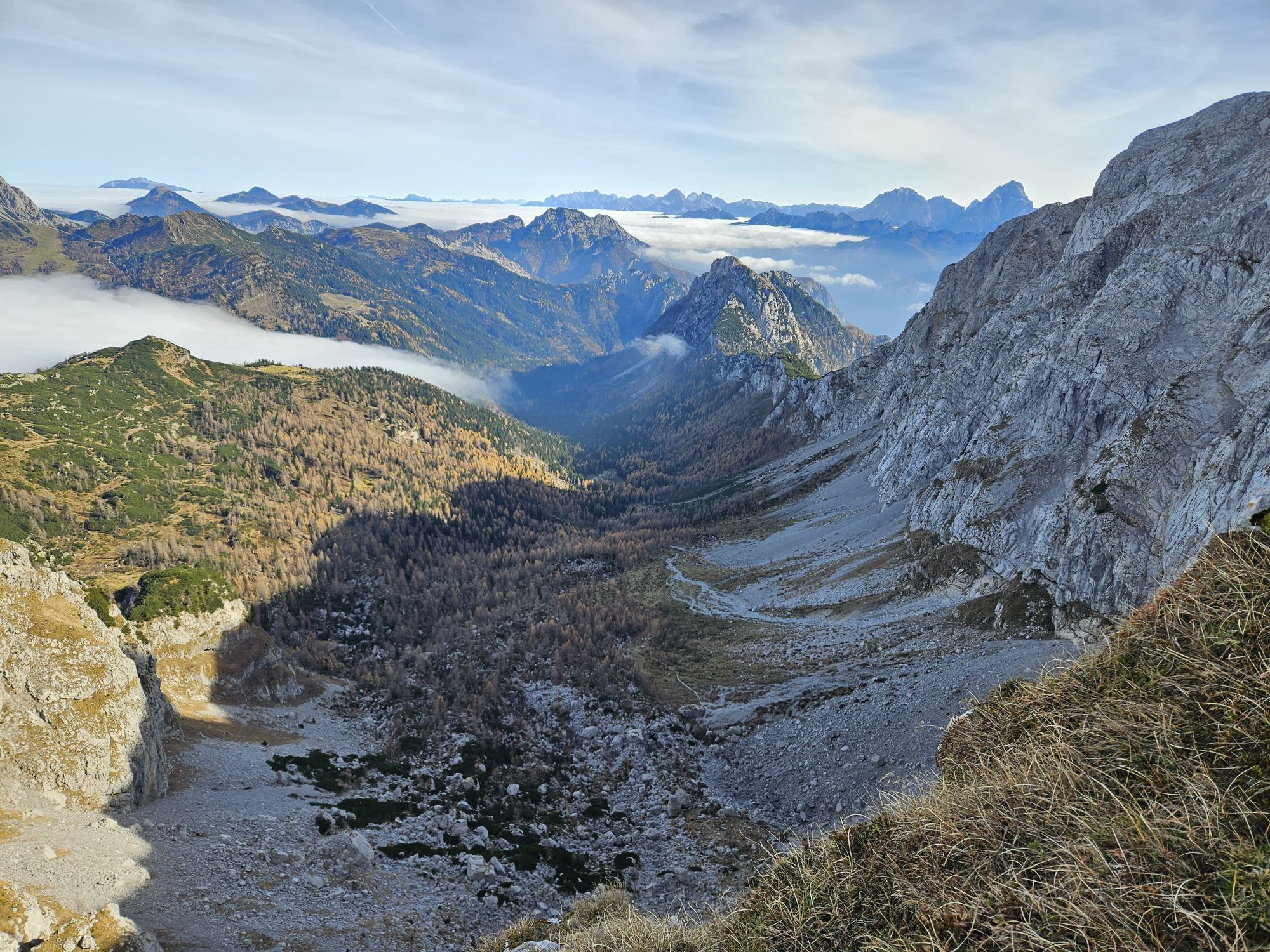
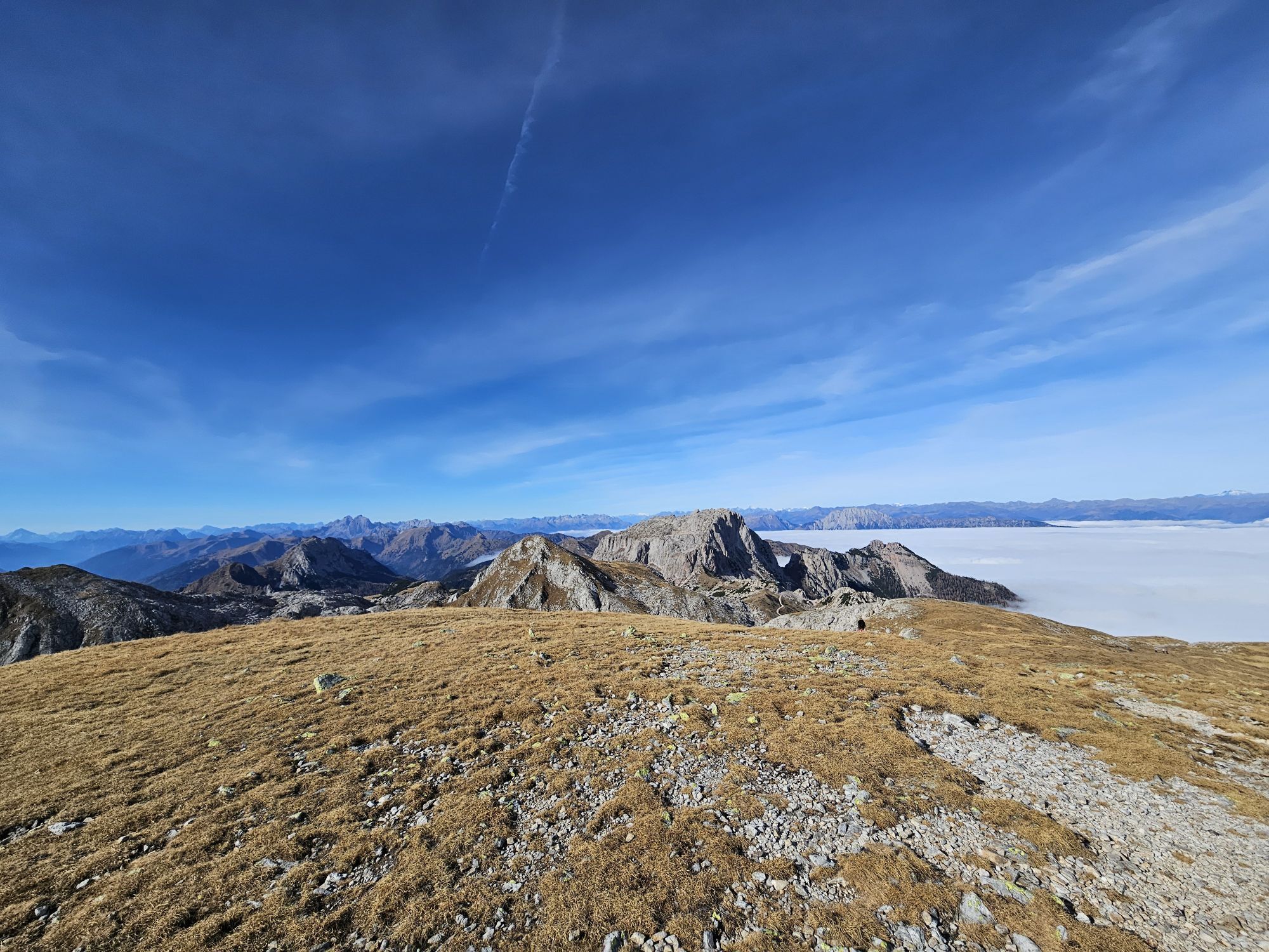
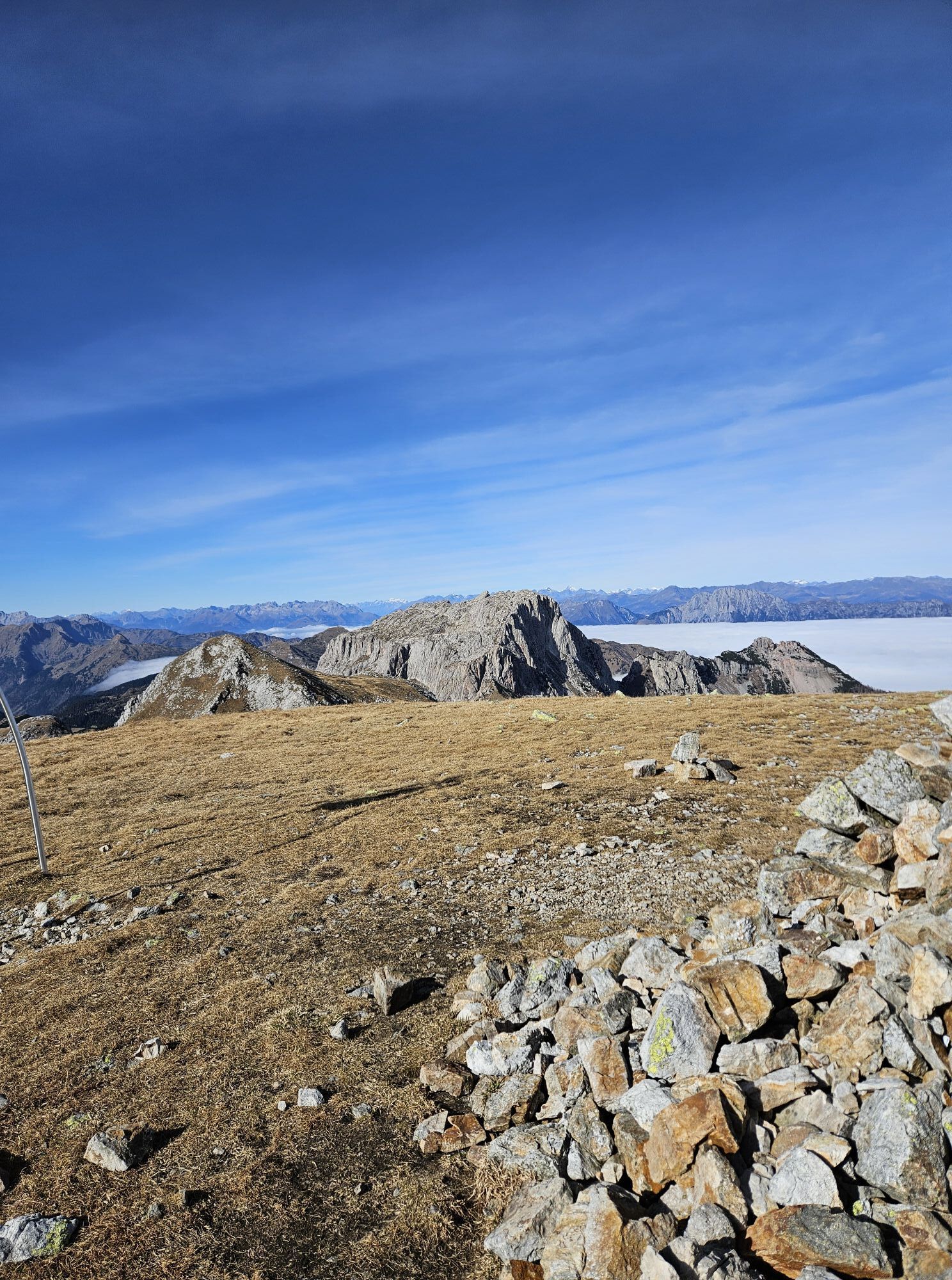
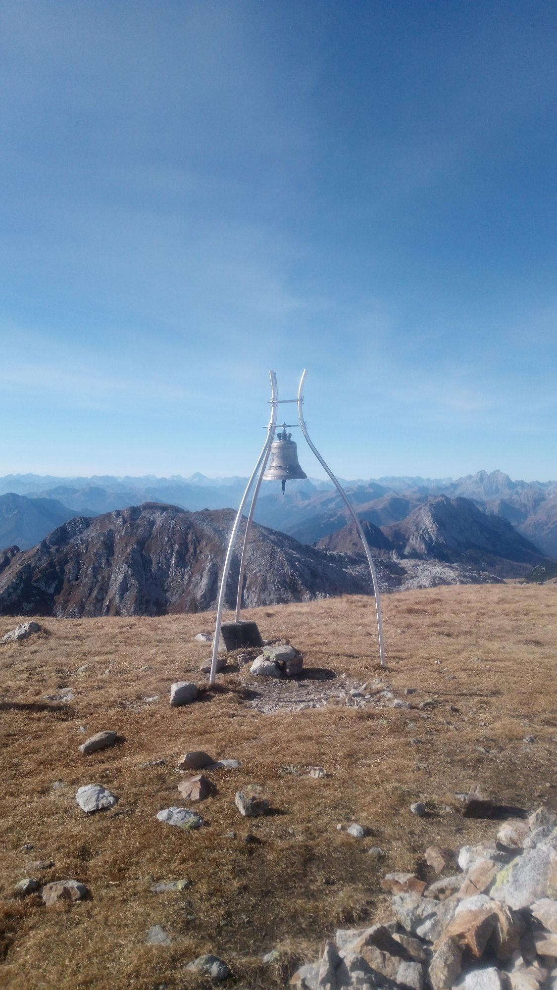
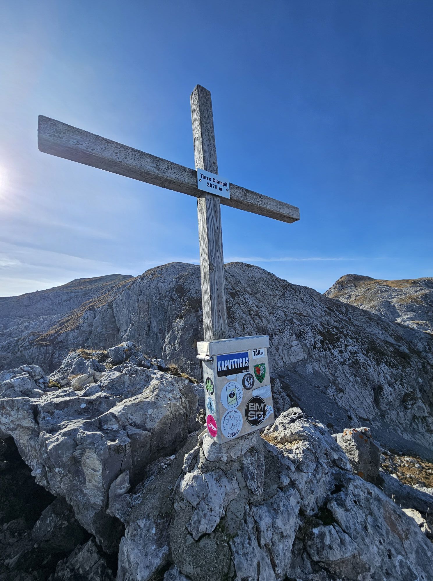
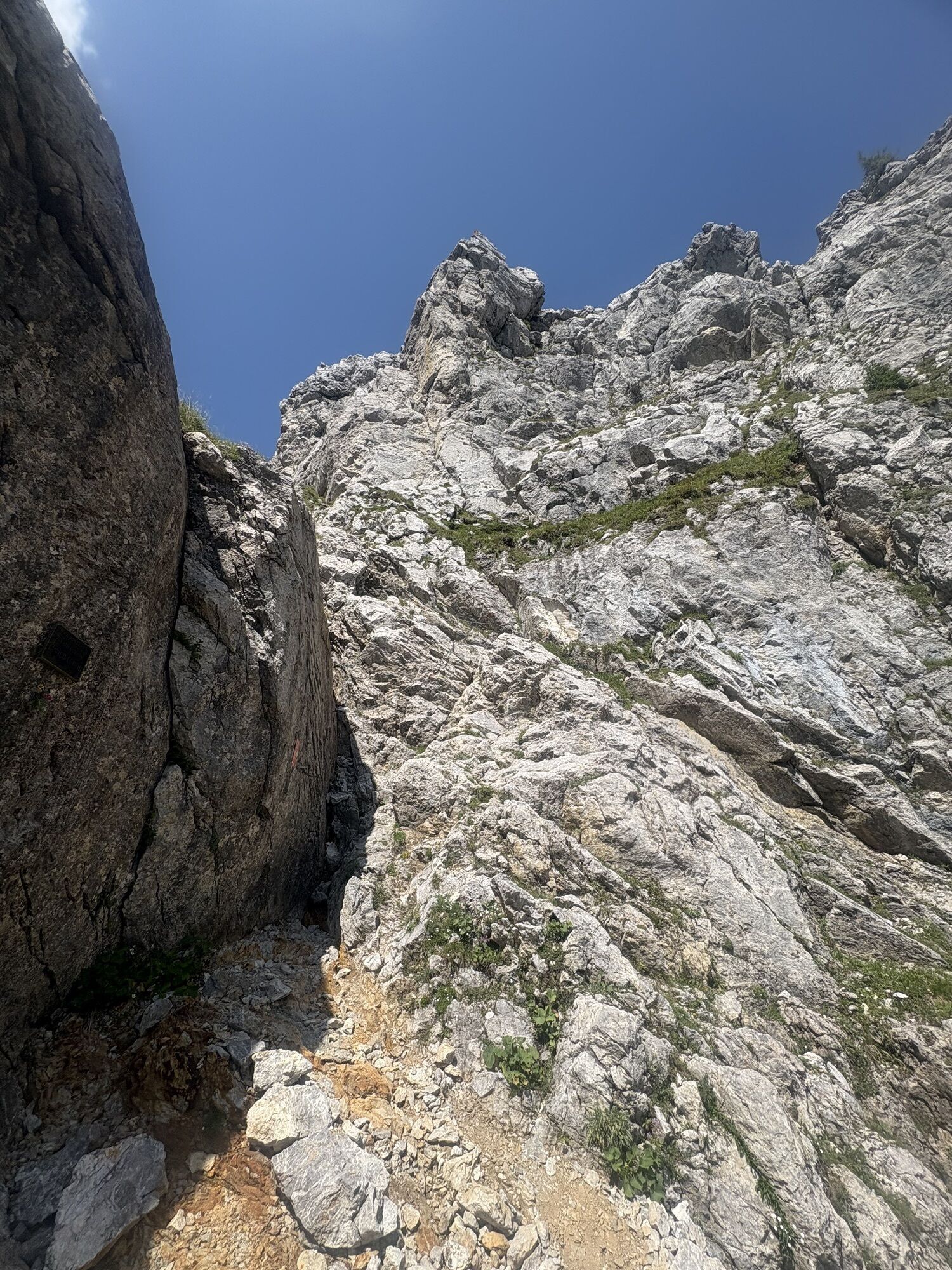
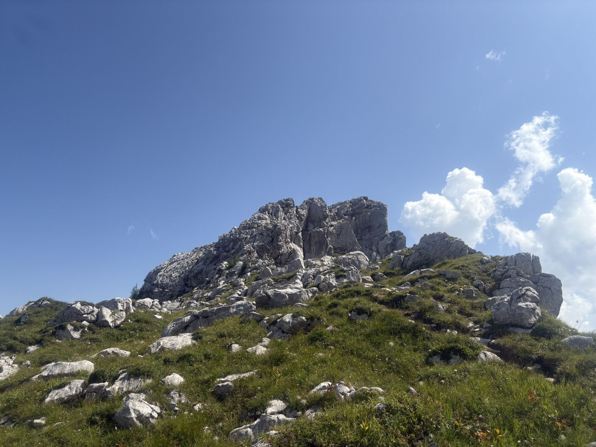
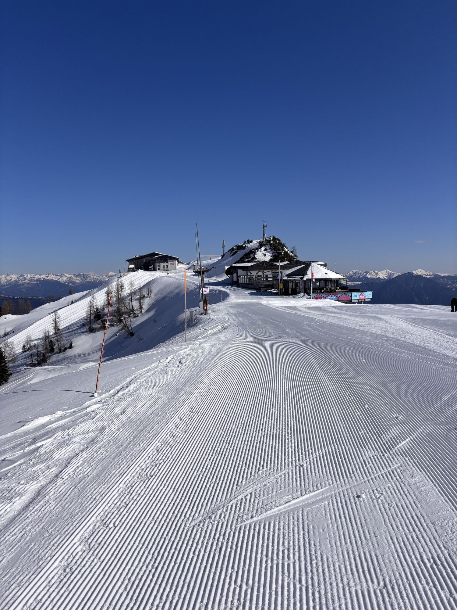
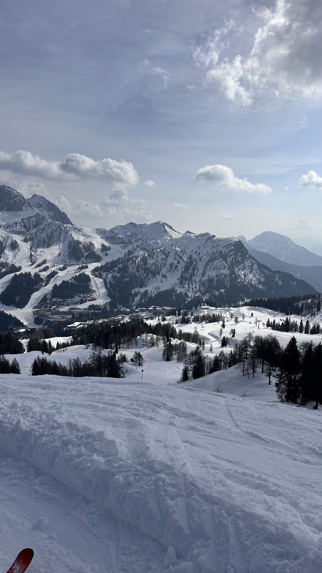
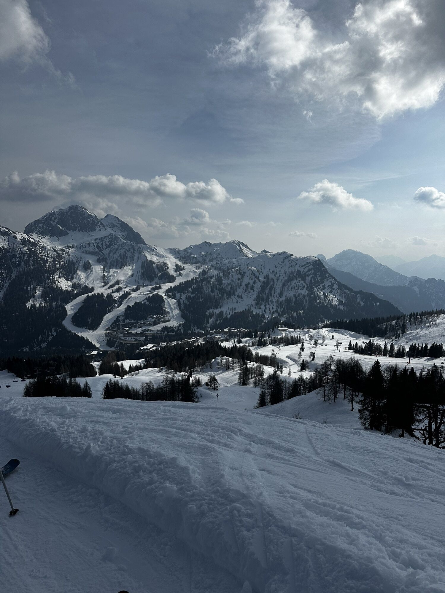
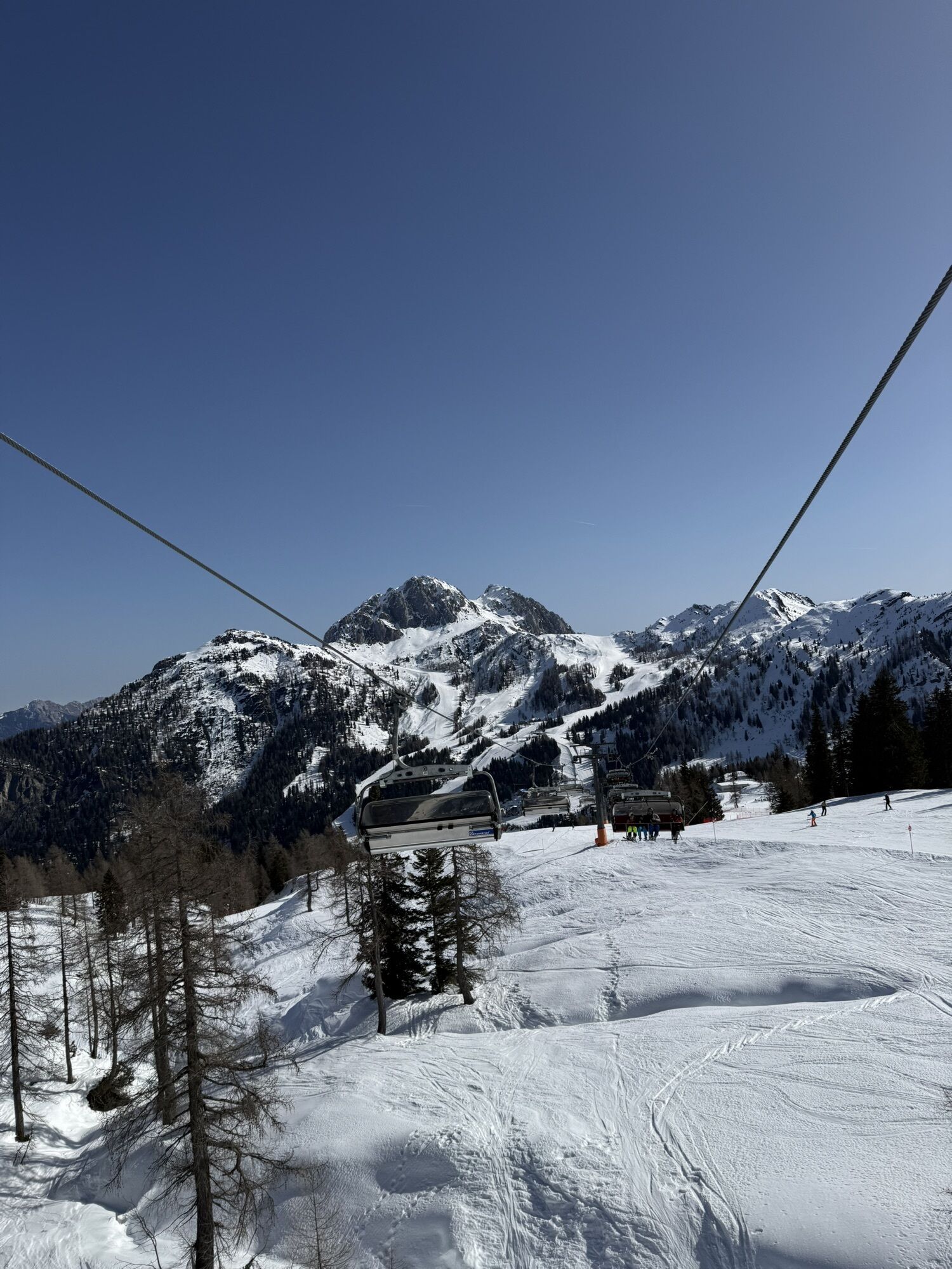

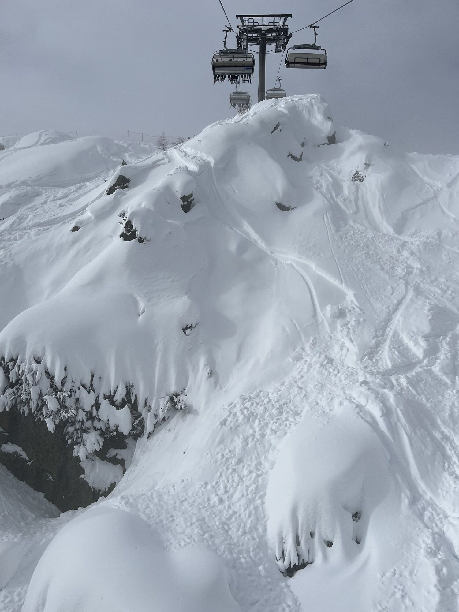
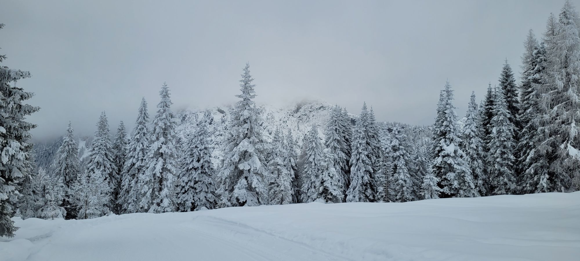
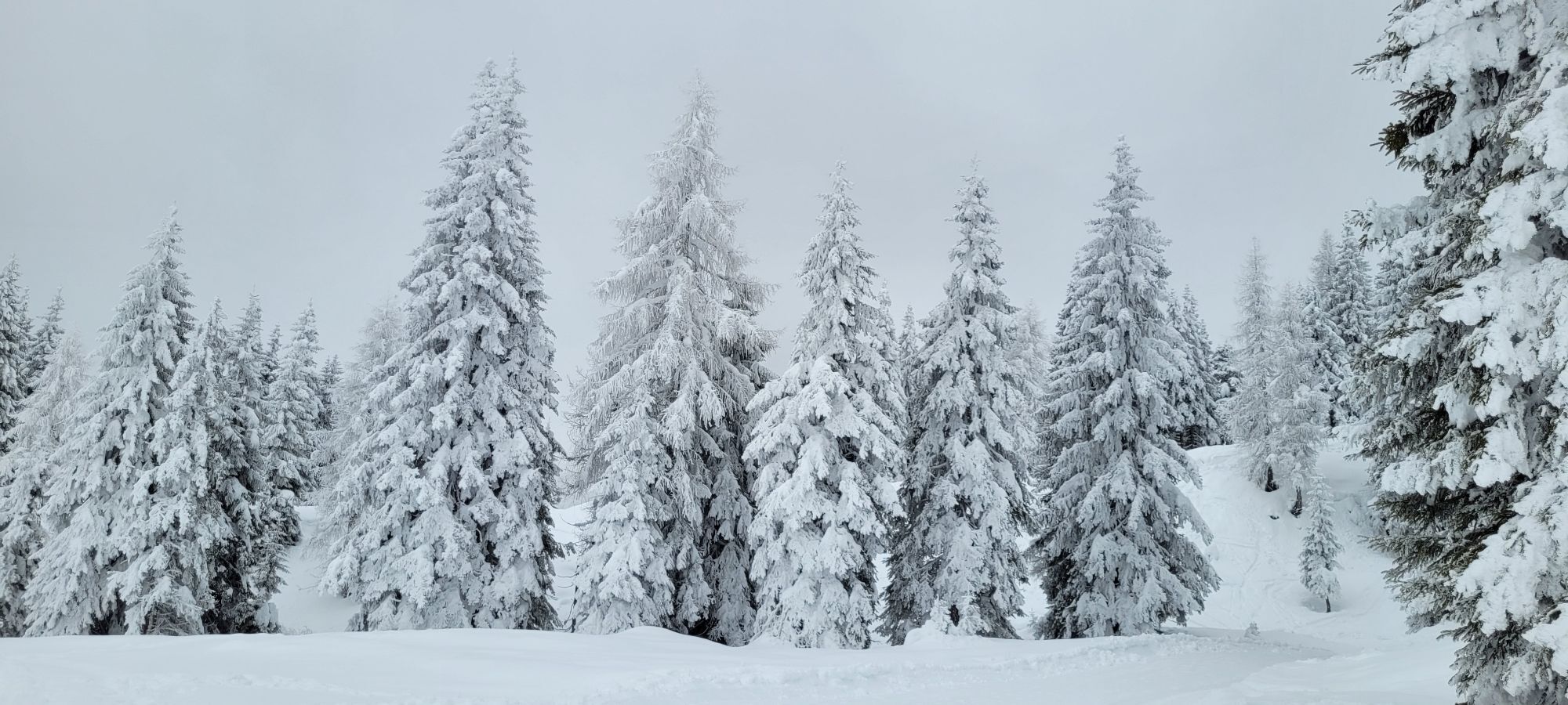
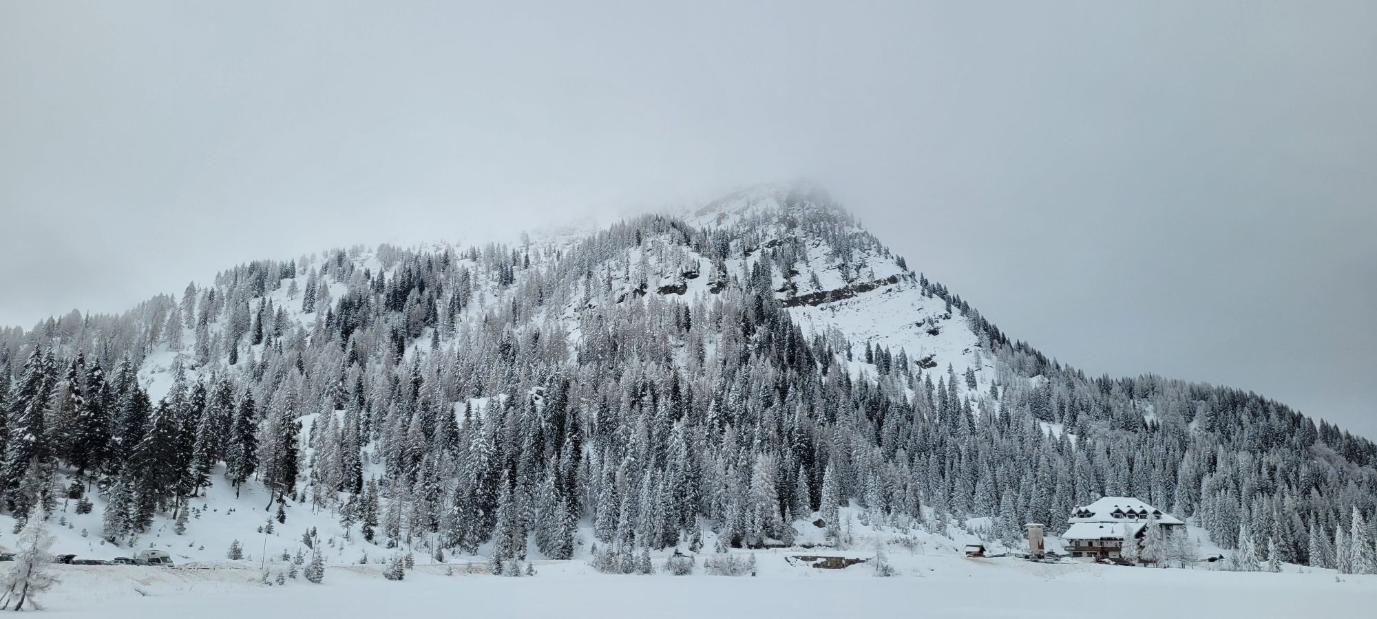
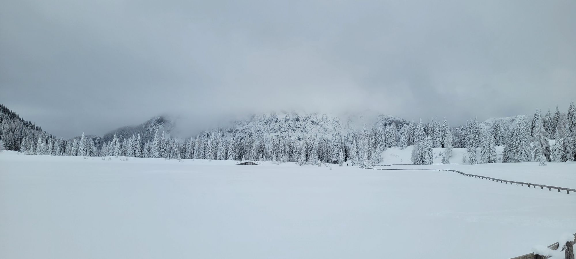
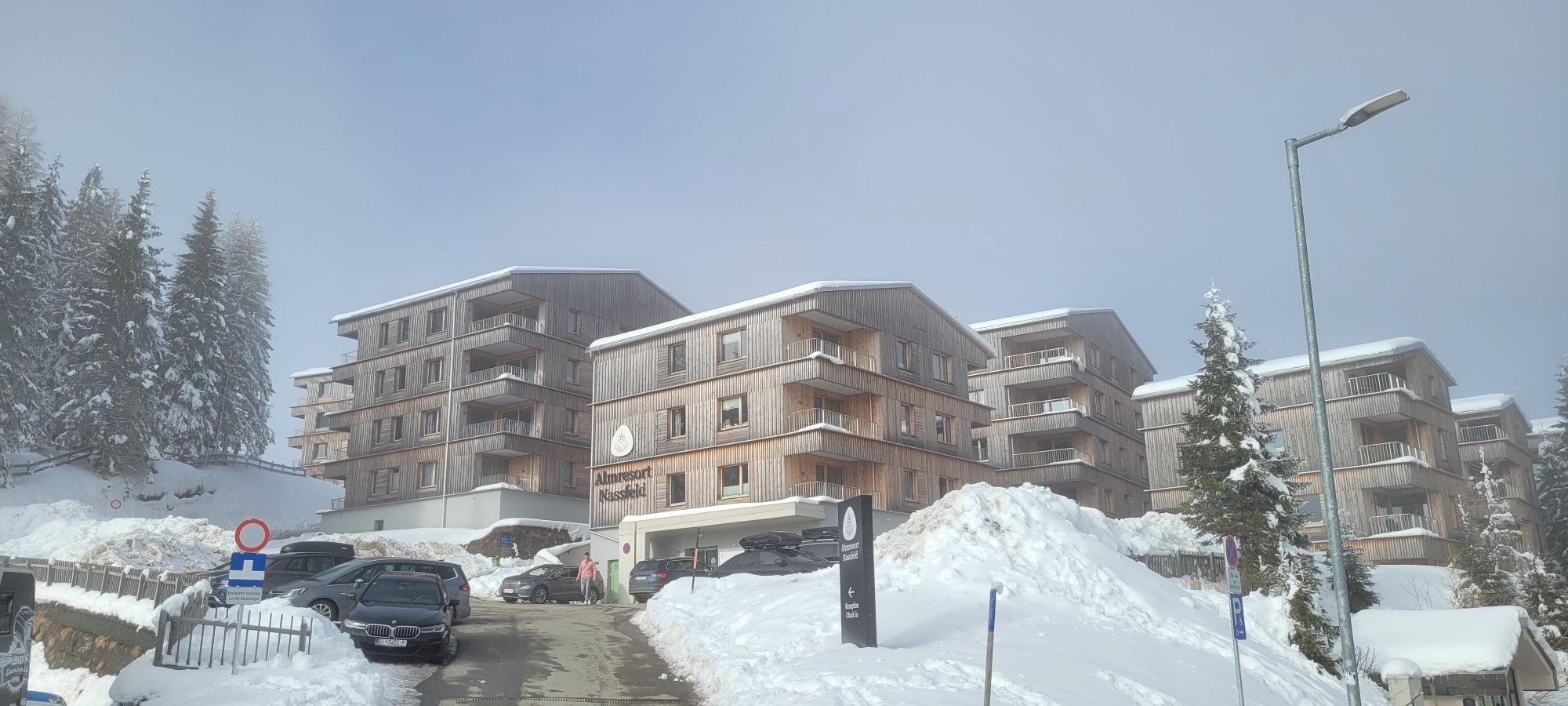
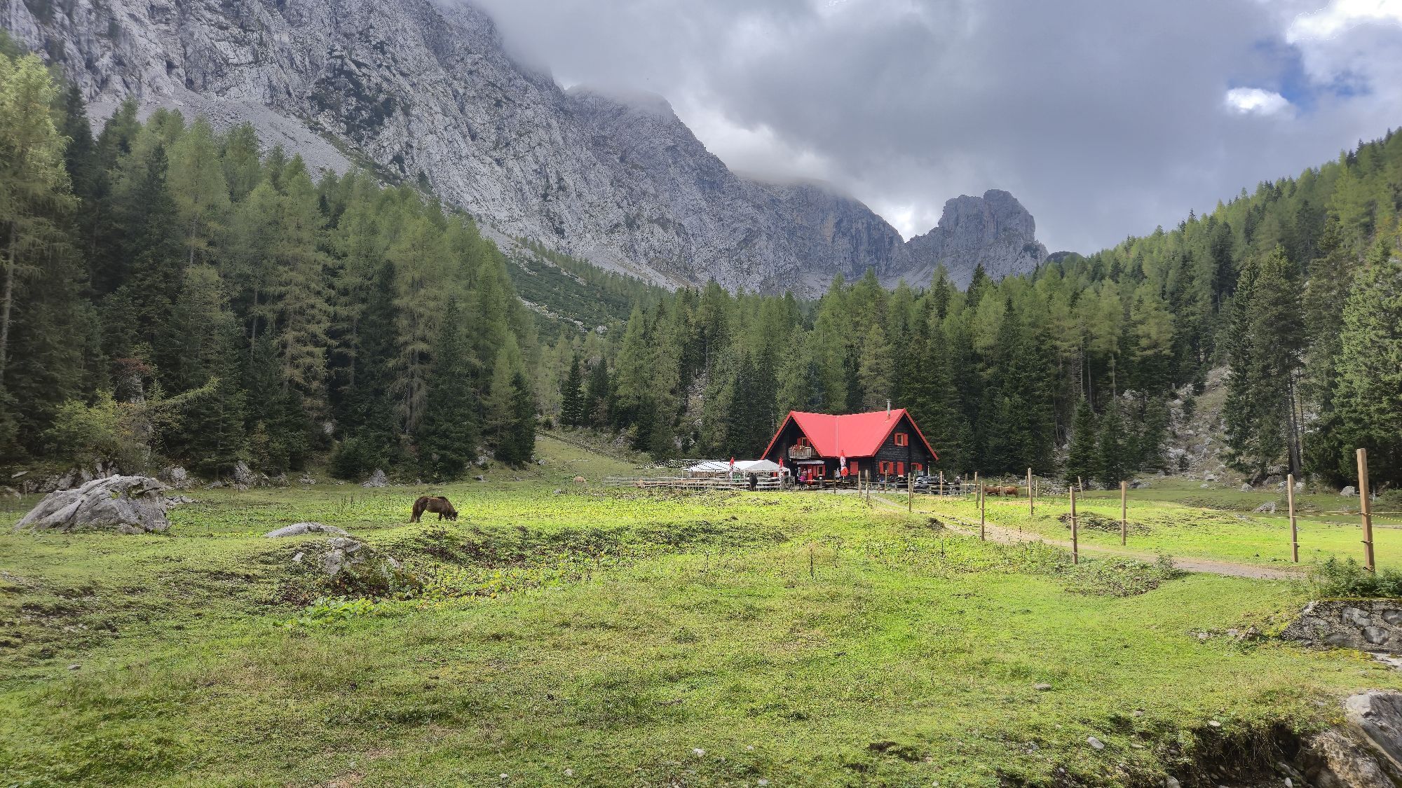
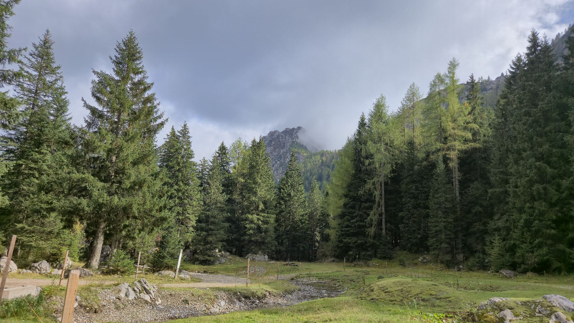
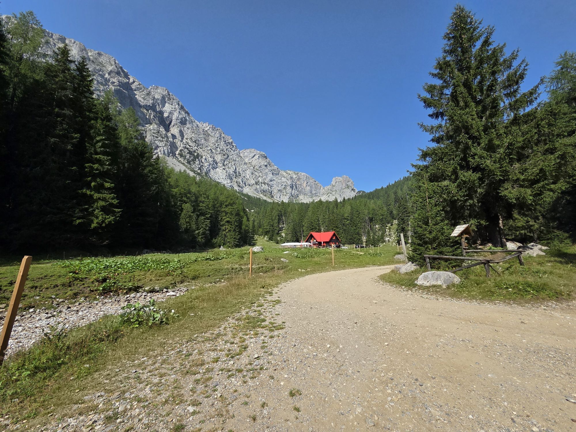
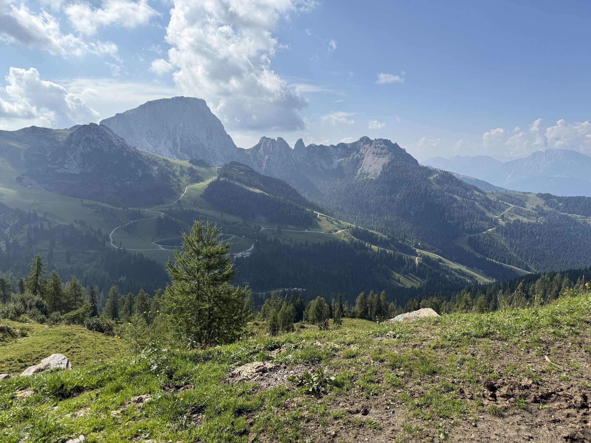
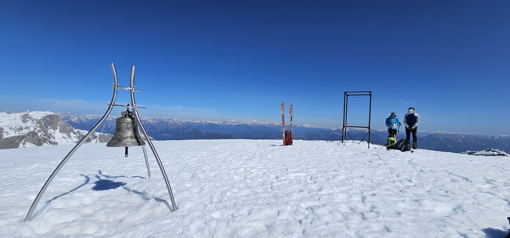
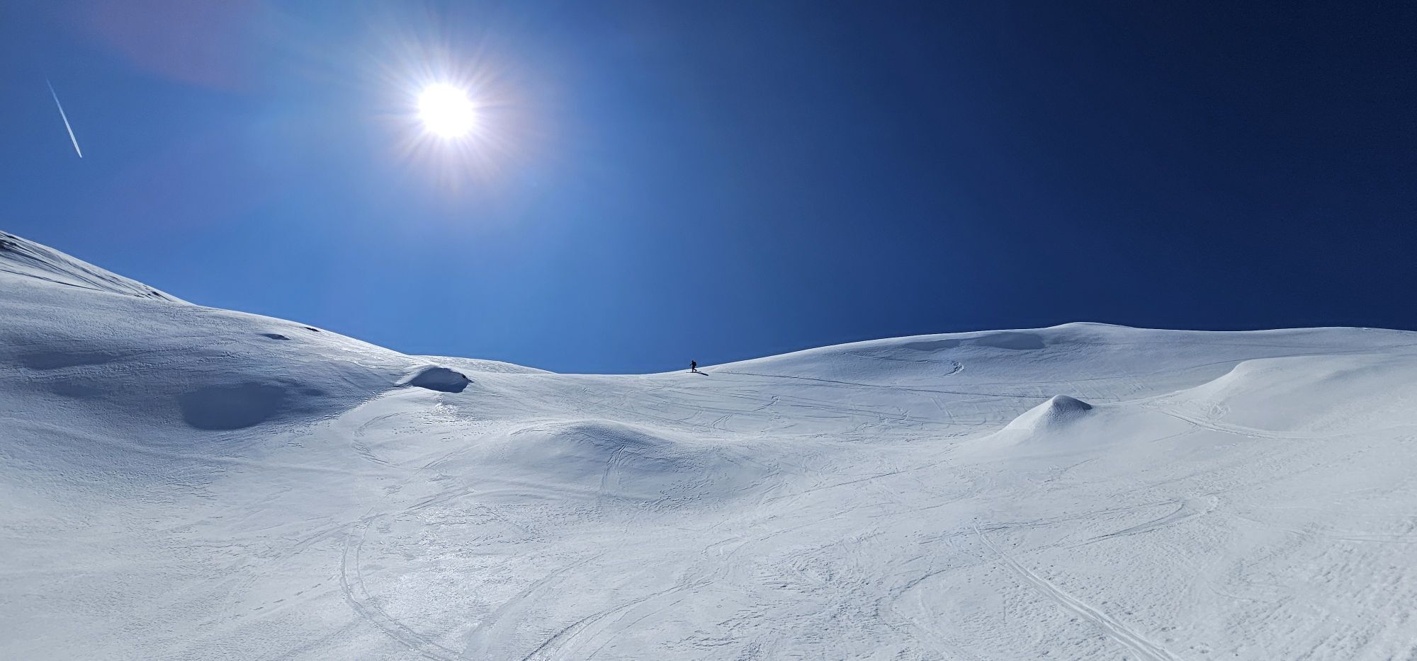
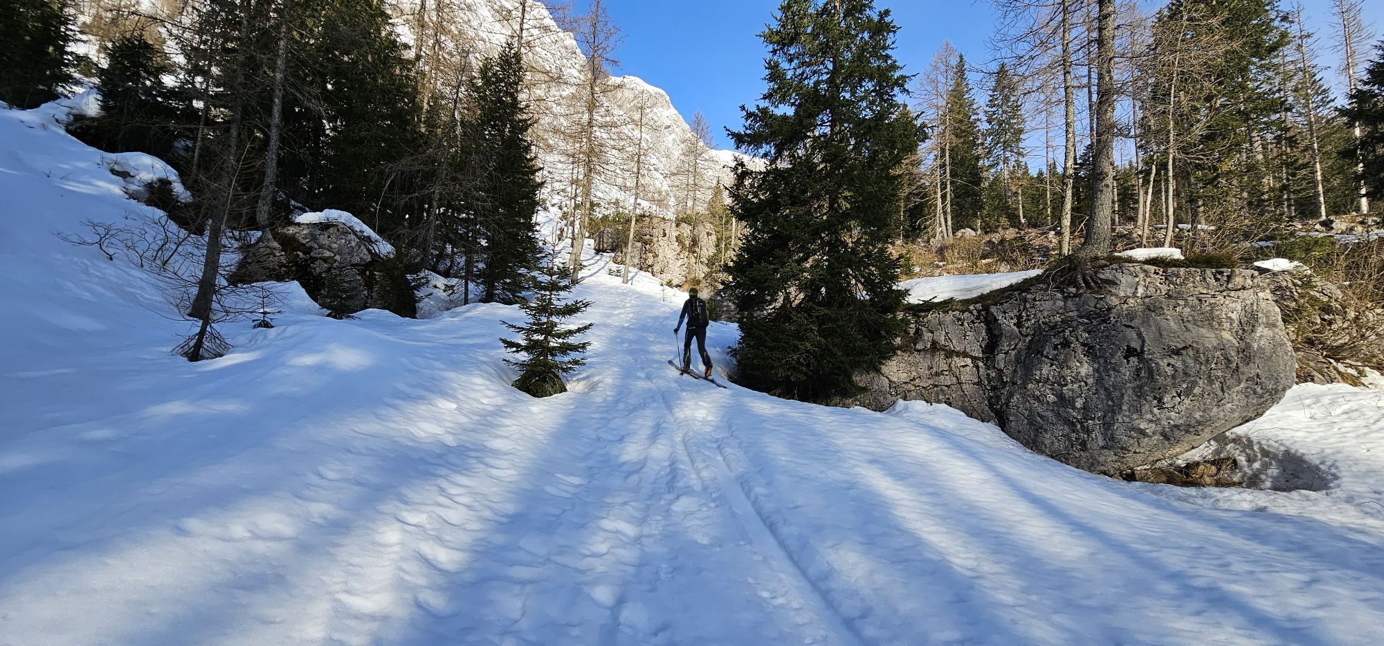
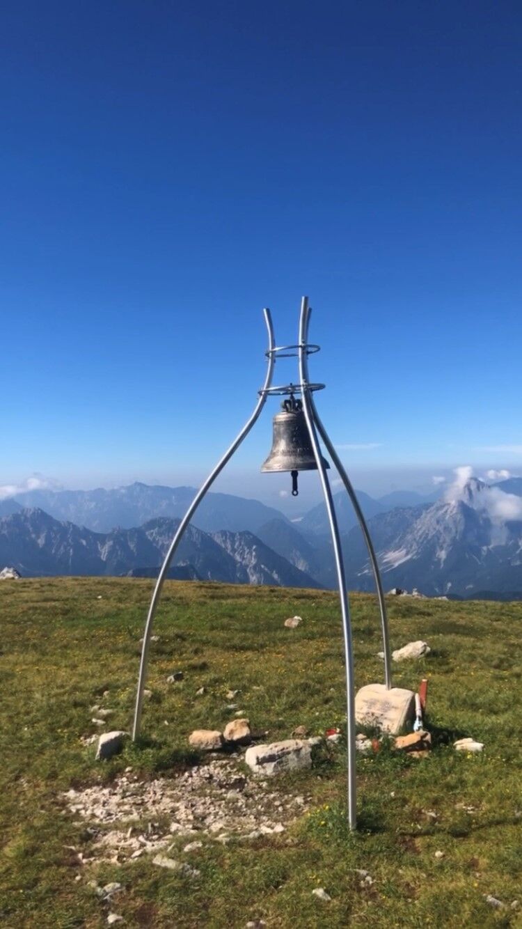
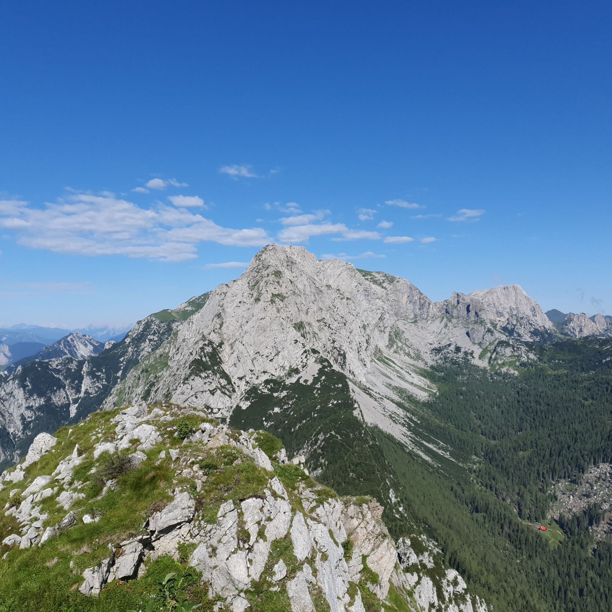
The Enrico Contin via ferrata is an easy via ferrata, very well secured with wire ropes, and allows a beautiful ascent from the Italian Winkeltal to the scenic Rosskofel.


Approach:
Opposite the Caserma (old customs building) on B 90 Nassfeldstraße towards Pontebba, follow the forest road to Winkelalm. From there continue straight into a sparse larch forest. The via ferrata starts over a block cirque at the foot of a gorge. The Enrico Contin via ferrata initially leads through a gorge to the saddle between Winkelturm and Rosskofel. There the route turns left. After a section of walking terrain follow the next secured parts to the right of the ridge. Secured sections alternate with walking terrain. An old step peg and a steep section follow until you shortly reach the exit (sign). After joining the normal route continue left to the Rosskofel summit.
Descent:
You can also briefly follow the ascent route and then at the fork choose the normal route 4/4. Turn left and cross the north faces. Then you reach Rudnigsattel. Now along the Carnic ridgeway towards Aqua Trail and up to Madritschen or the easy descent to Nassfeld Pass.
Tak
FAIR PLAY & RESPECT:
Care for nature – landowners – your health... and safety in the mountains have the highest priority during your route/your mountain sports experience and the associated route planning!
Therefore, before each via ferrata experience inform yourself about the rules of conduct - mountain safety - as well as the current weather conditions.
Waste disposal:
Waste is not always avoidable - but it has no place in nature and must be properly disposed of (preferably in the valley or at home).
Emergency numbers:
European emergency number: 112 (accessible from any available network)
Mountain rescue Austria: 140
Approach from Hermagor:
Drive on the B111 towards Kötschach and follow the road for 6.5 kilometers. Then turn slightly right onto Nassfeld Straße/B90. Stay on this road and drive up the pass for ten kilometers. After the border crossing continue in the direction of Pontebba to the Caserma (old customs building).
It is possible to reach Tröpolach by public transport.
Information about timetables at: www.nassfeld.at/mobilitaet
Parking is possible opposite the Caserma.
A/B
Are you looking for via ferrata tips in the region as well as a state-certified mountain guide for a guided via ferrata tour?
You can find this and many other infos at - route tips and provider information
At Nassfeld you will find numerous year-round open places to eat - inns, huts, and restaurants - details at Service A-Z.
Note: The difficulty rating applies "only" to the via ferrata itself, not to the approach and descent.
Kamery internetowe z trasy
Uzyskaj wgląd
Zawsze na żywo z ponad 9 500 kamer internetowych. bergfex Jako użytkownik Pro, możesz teraz zobaczyć odpowiednie kamery internetowe dla wielu wycieczek w aplikacji wycieczki od. Pozwala to na bezpośredni podgląd aktualnych warunków.
Popularne wycieczki w okolicy
-
4,7
Tarvisio - Venzone (C101)
średniKolarstwo długodystansowe 64,7 km -
4,8
RW_N9 Weißenbachklamm
średniWędrówka 7,49 km -
4,9
Weißenbachklamm
ciężkiWędrówka 5,80 km -
4,1
Malurch Nassfeld
średniWędrówka 9,60 km -
5,0
ST_N7 Gartnerkofel (2,195 m)
Wycieczka narciarska 3,94 km -
3,0
Hermagor: Gartnerkofel
Wędrówka 7,70 km -
4,4
KL_N2 Däumling
średniVia ferrata 1,78 km -
4,7
ST_N9 Madritschen (1,918 m)
Wycieczka narciarska 2,71 km -
5,0
Möselalm - Weißbriach/Gitschtal
światłoWędrówka 5,12 km -
4,5
KL_N5 Crete Rosse
średniVia ferrata 6,96 km
Wędrówki i tropienie


Nie przegap ofert i inspiracji na następne wakacje
Twój adres e-mail została dodana do listy mailingowej.





