





Lahnajärvi route, Lemi

The Lahnajärvi route circles Lahnajärvi, located near the Lemi Kirkonkylä village, which is connected to Kivijärvi. The route starts at the 0-post (information board facing Savitaipale) located in the...
The Lahnajärvi route circles Lahnajärvi, located near the Lemi Kirkonkylä village, which is connected to Kivijärvi. The route starts at the 0-post (information board facing Savitaipale) located in the village and follows various roads. The route length is 8 km and it is also bikeable. Lahnajärvi and Kivijärvi appear to the traveller along the route here and there, and the lakes meet at Papinoja.
The route is passable year-round, except for a short forest path section that is not maintained in winter.

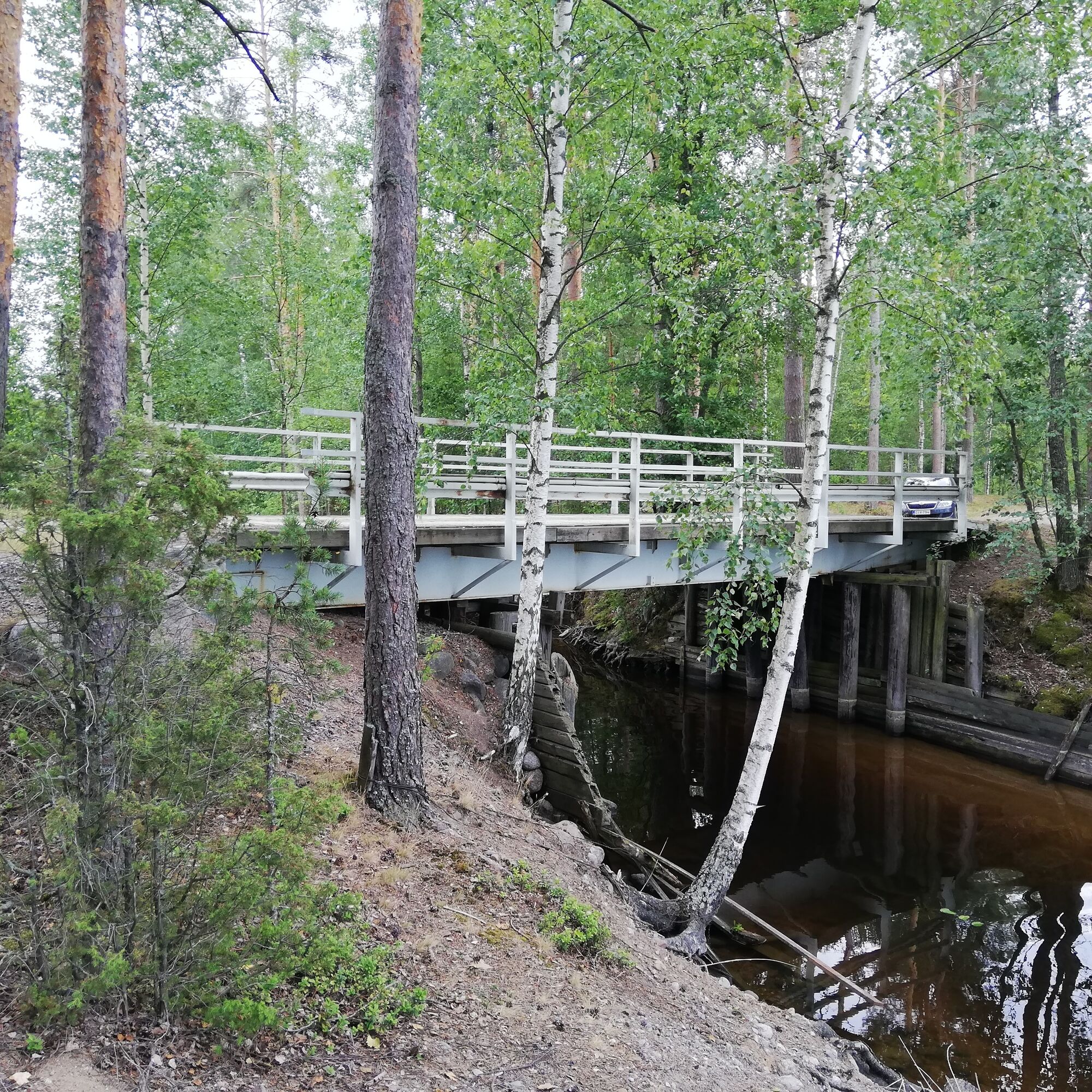
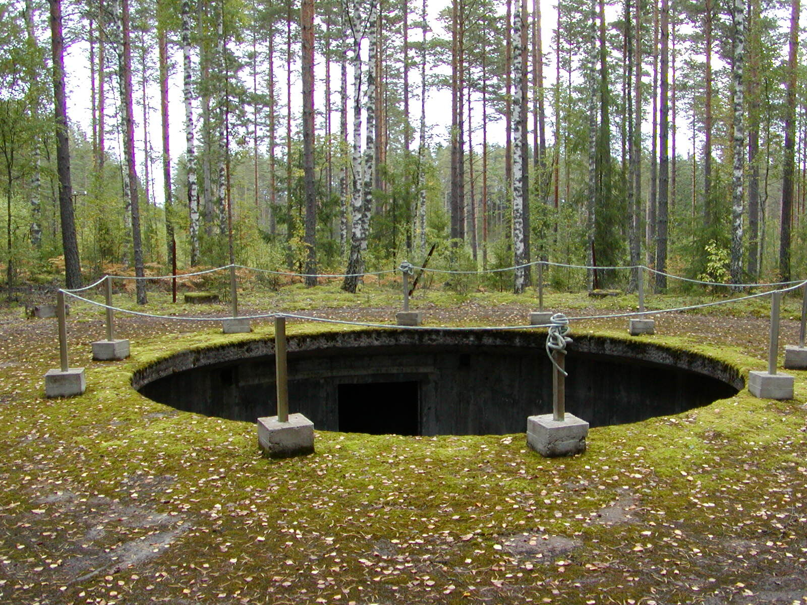
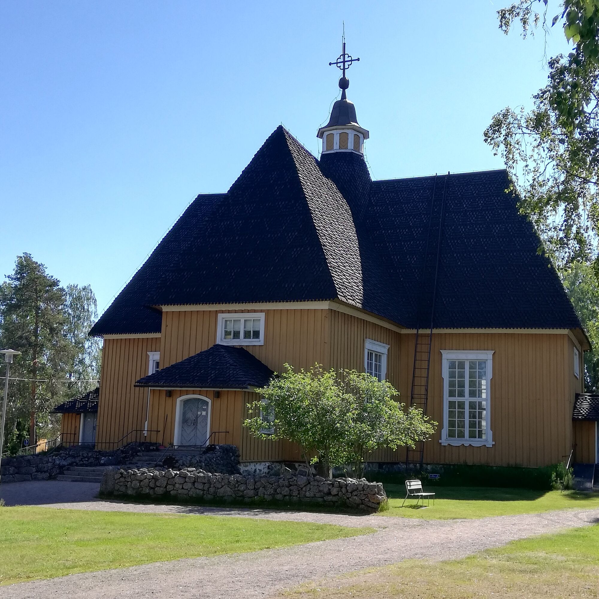
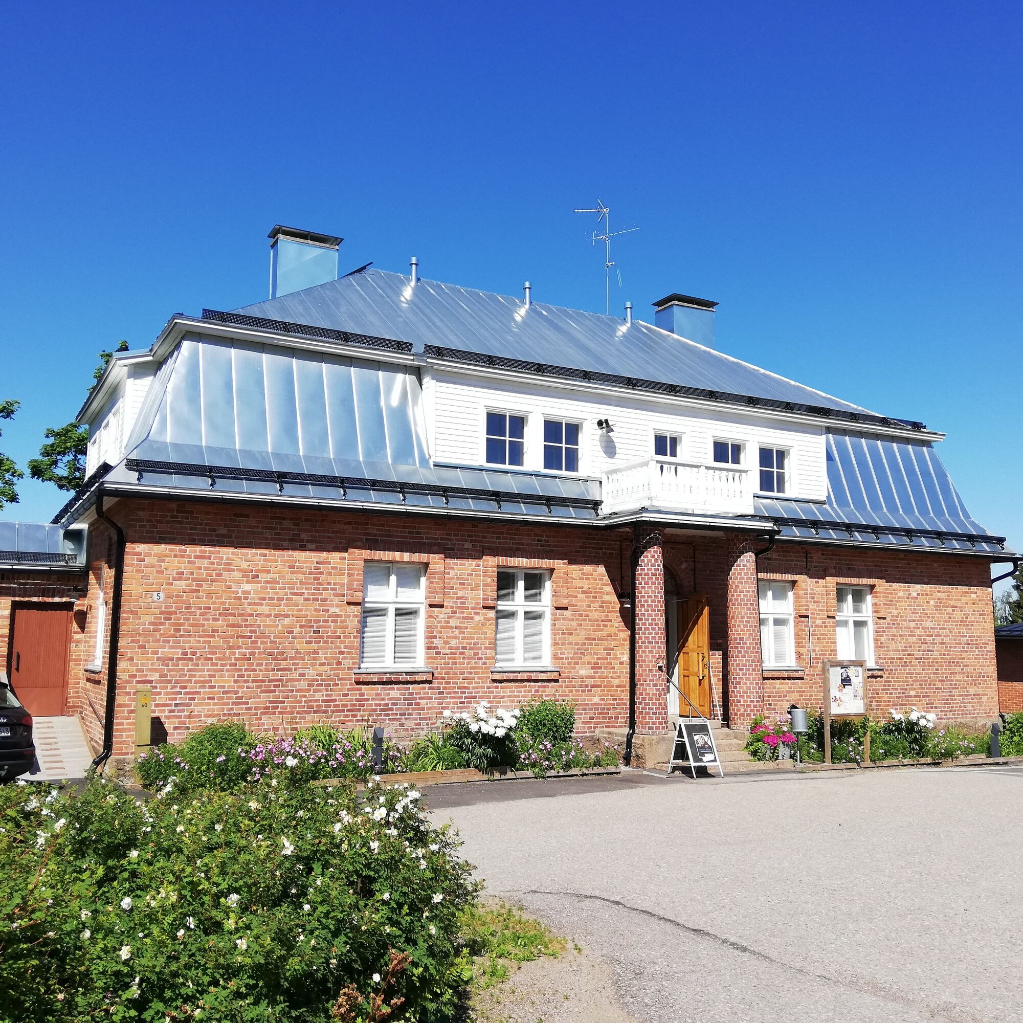

The Lahnajärvi route is travelled counterclockwise according to the signs. The route can also be done clockwise. The route goes around the municipal center along light traffic routes and closer to Lahnajärvi along small gravel and forest roads. The route is marked with orange paint marks.
Tak
Tak
It is safest to travel in a group in the terrain and on the waters if you are not familiar with the area. Before the trip, it is good to obtain the necessary maps and guides and especially before going on the water, check the weather forecasts. Dress appropriately for the weather and wear sturdy footwear. It is advisable to also bring first aid equipment, rain gear, spare clothes, and enough drinking water, especially in summer. Remember to wear a life jacket on the water.
In wet weather and winter, boardwalks, rocks, and piers can be slippery.
In snowy conditions, routes and trails are not maintained.
In an emergency, call 112. Provide your location, explain what has happened and listen to the instructions.
The route starts from the center of Lemi, address Toukkalantie 2, 54710 Lemi.
There is usually parking space in the yard area at Toukkalantie 2. It is also possible to leave a car in the nearby shop's yard.
The Lahnajärvi route is multi-purpose and can also be travelled in winter.
Popularne wycieczki w okolicy
-
Western Saimaa Fortress route
ciężkiJazda na rowerze 133,5 km -
Repovuori nature trail, Lemi
średniTrasa tematyczna 3,99 km -
Väliväylä paddling route, Lappeenranta - Kouvola
ciężkiKajak / Canoe 241,7 km -
Tuulimyllyn Nature Trail, Lemi
ciężkiTrasa tematyczna 5,58 km -
Kotkaniemi Nature Trail
Trasa tematyczna 0,57 km -
Pärsäniemi Nature Reserve, Luumäki
światłoTrasa tematyczna 1,48 km -
Monnonlahti trail, Lemi
światłoTrasa tematyczna 0,53 km -
Local Food Tasting Cycling Route from Lappeenranta
ciężkiJazda na rowerze 82,7 km -
Naturpfad Näkkiniemi
Trasa tematyczna 3,58 km -
Tuohtjärvi route, Lemi
średnidługodystansowy szlak pieszy 7,81 km
Wędrówki i tropienie


Nie przegap ofert i inspiracji na następne wakacje
Twój adres e-mail została dodana do listy mailingowej.





