





Monnonlahti trail, Lemi

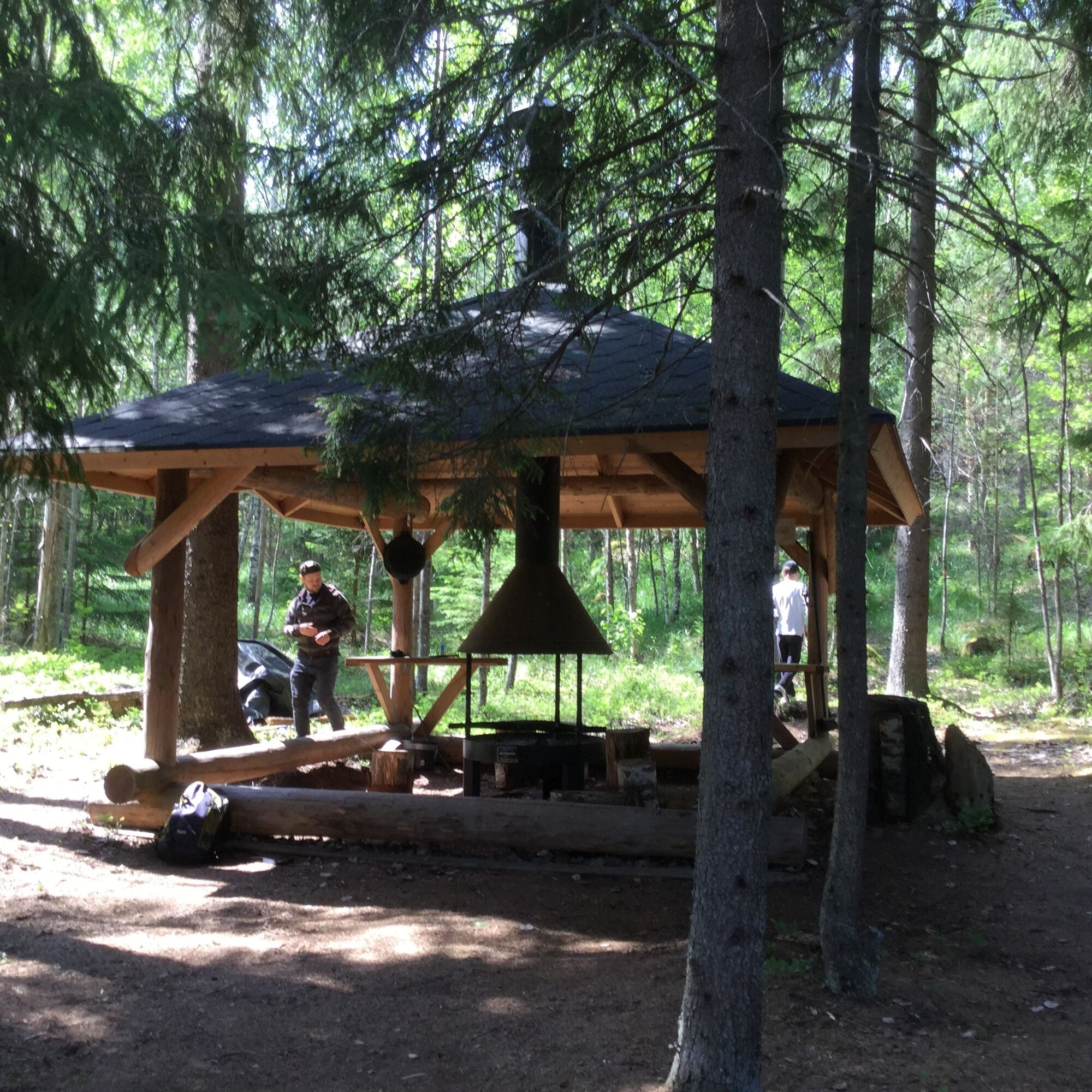
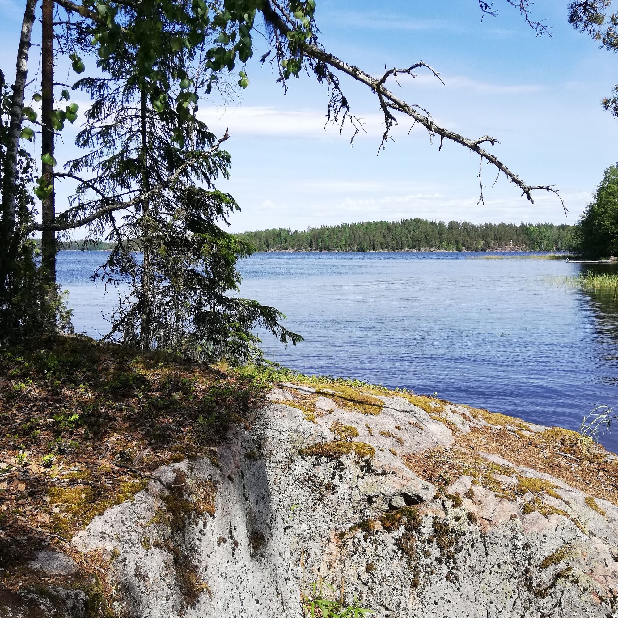
The Monnonlahti hiking destination has a campfire shelter, firewood shelter, toilet, and pier. The water level at the pier varies from 0 to 50 cm depending on the Saimaa water level. The site is a rest...
The Monnonlahti hiking destination has a campfire shelter, firewood shelter, toilet, and pier. The water level at the pier varies from 0 to 50 cm depending on the Saimaa water level. The site is a rest stop for paddlers on Väliväylä.
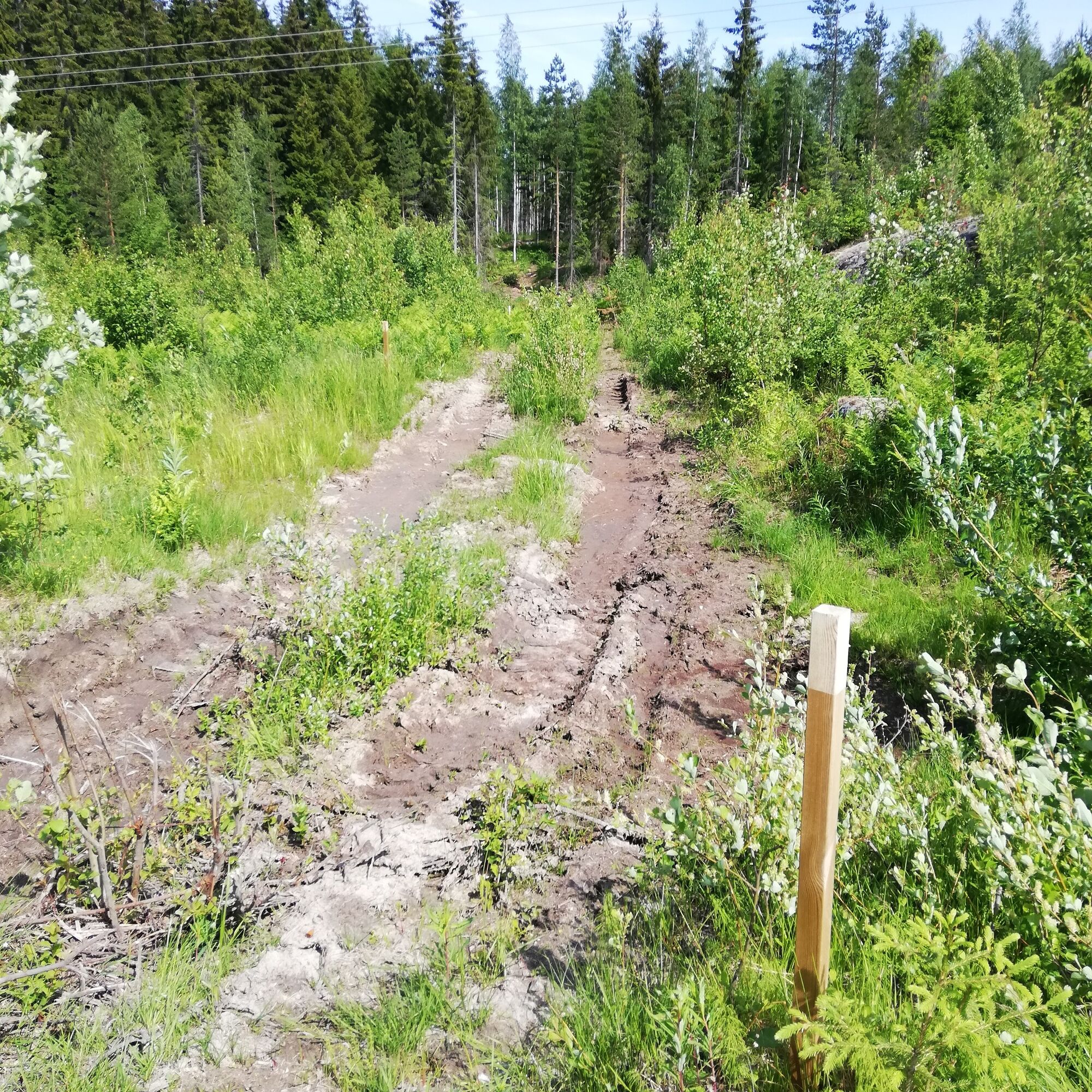
By land, you can find the Monnonlahti destination from VT13 via Luukkaantie. A marked trail starts from under the power line. Do not enter private summer cottage yards.

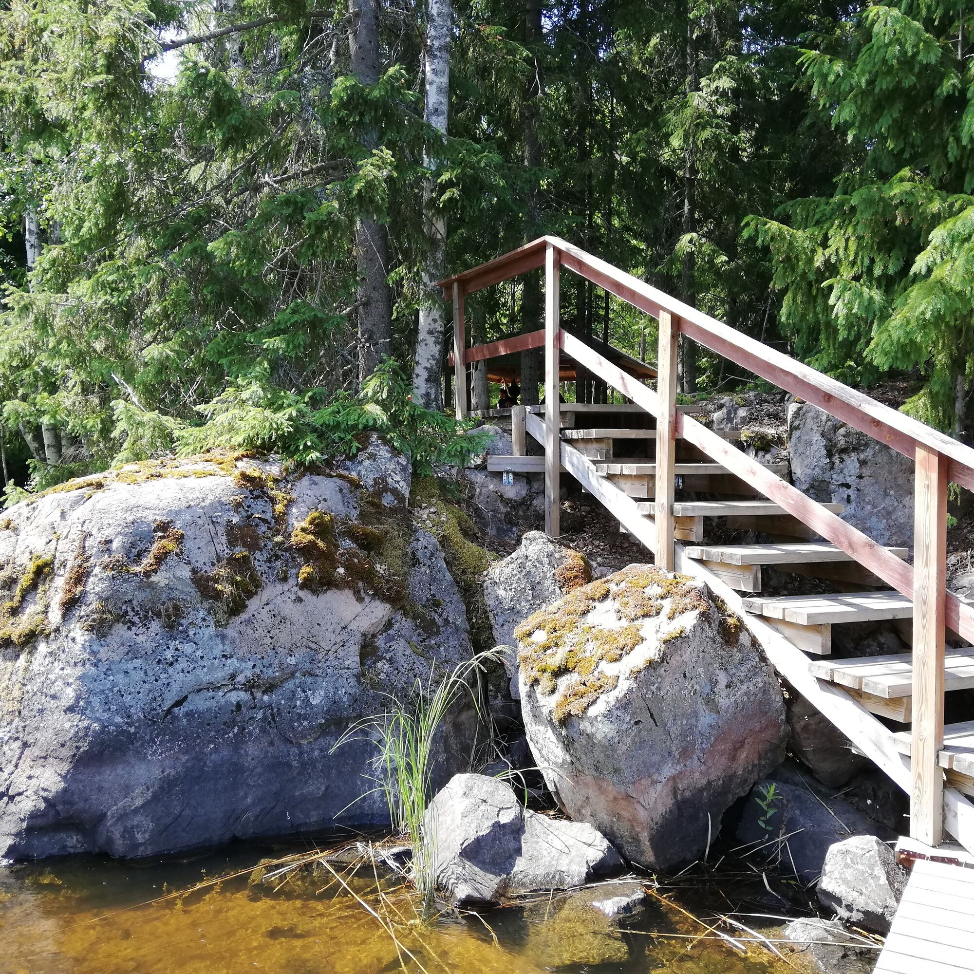
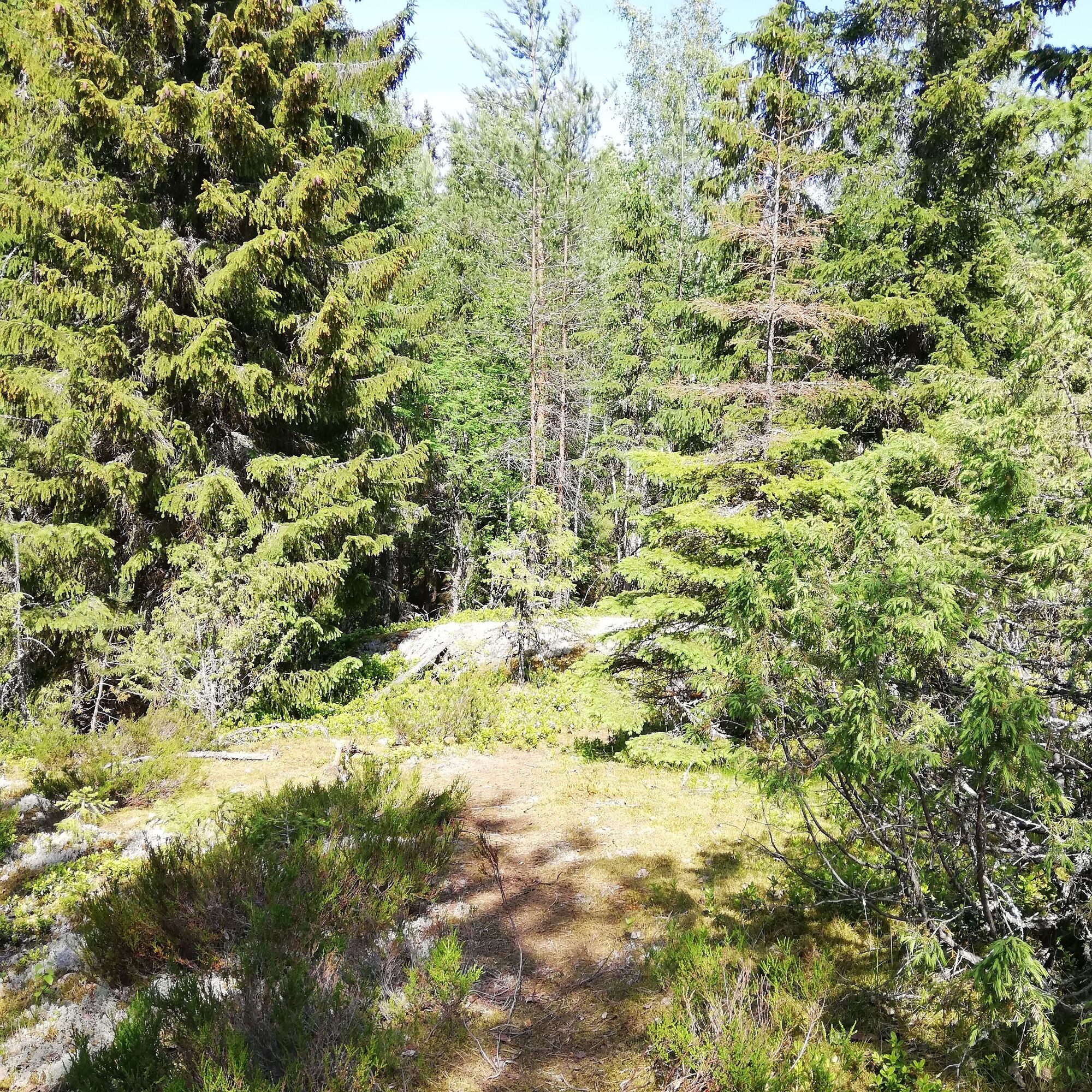

You can arrive at the destination by bike or car. Cars can be parked at the turning point of the small road that goes under the power line.
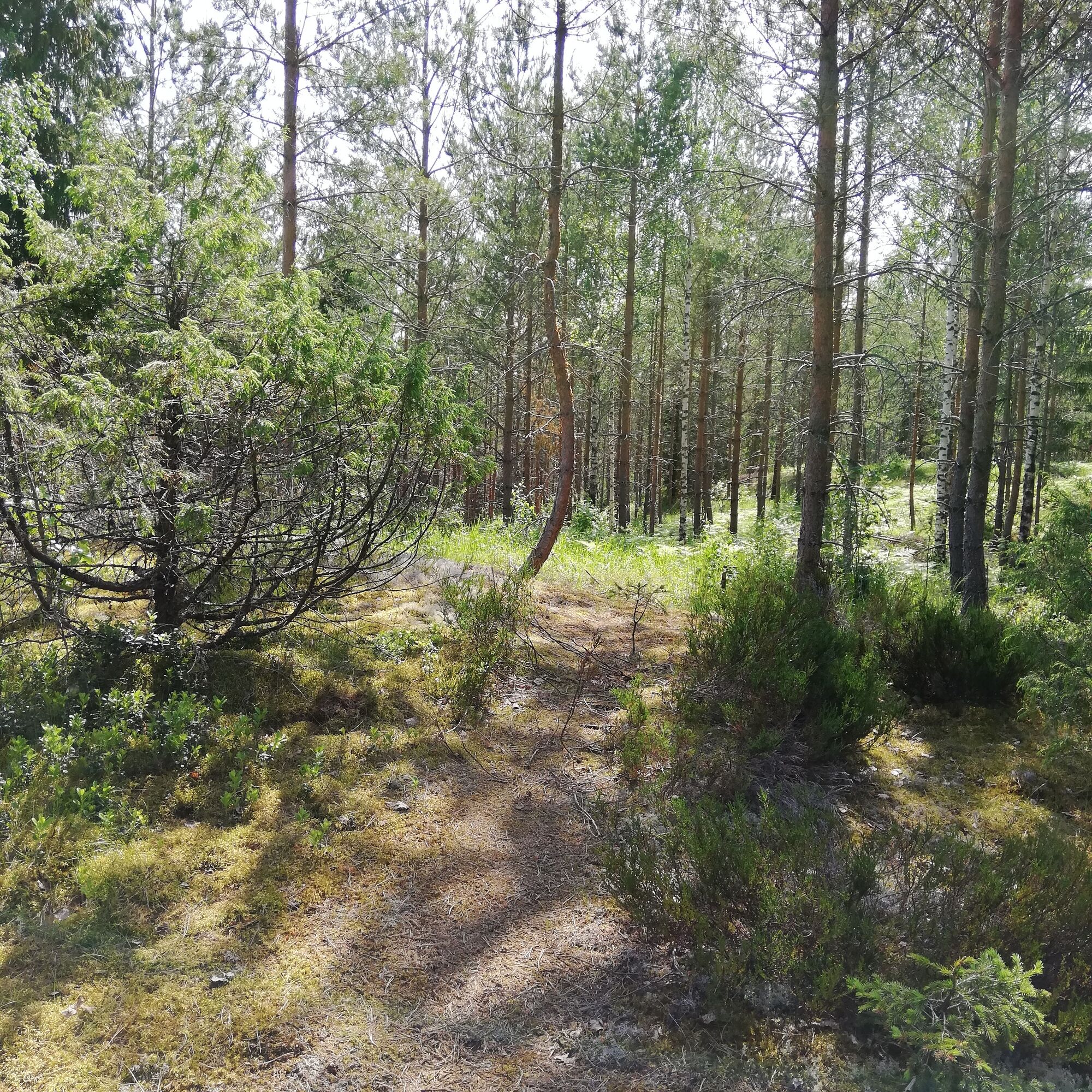
From the turning point, walk about 20 meters back along the road to find the first orange-topped post sign at the trail start. The trail initially follows the track made by forestry machinery under the power line and then becomes a forest path at the edge of the woods. The reasonably short trail rises and falls following the shapes of the rocky terrain. Finally, the trail descends from the forest to a grill shelter. The scenery by the grill shelter is protected forest. There is also a pier by the grill shelter at Monnonlahti.
Tak
It is safest to move in groups in the terrain and on the water if you are not familiar with the area. Before the trip, it is good to obtain the necessary maps and guides, and especially before going on the water, check the weather forecasts. Dress appropriately for the weather and wear sturdy footwear. It is advisable to also bring first aid supplies, rain gear, spare clothes, and enough drinks, especially in summer. Remember to wear a life jacket on the water.
On wet days and in winter, boardwalks, rocks, and piers may be slippery.
Routes and trails are not maintained during snowy periods.
In an emergency, call 112. Tell your location, what happened, and listen to the instructions.
You can get to the beginning of the Monnonlahti trail by turning from highway VT 13 onto Luukkaantie. Shortly after turning, you enter a farmyard at the intersection of Palo Road and Luukkaantie, from where you continue right onto Luukkaantie. Follow the edge of the field, and after the field, turn right onto the road under the power line. Drive to the end of the road to the turning point, near which the trail begins.
The Monnonlahti hiking destination can also be reached by kayak.
There is no public transport to the destination.
Cars can be parked at the turning point at the end of the small road running under the power line.
Monnonlahti is also accessible by water and is one of the rest stops on the Väliväylä paddling route.
Popularne wycieczki w okolicy
-
4,5
Taipalsaari scenic cycling route
średniJazda na rowerze 42,7 km -
Mikonsaari nature trail, Lappeenranta
średniTrasa tematyczna 2,03 km -
Pappilanniemi nature trail, Lappeenranta
średniTrasa tematyczna 1,78 km -
Repovuori nature trail, Lemi
średniTrasa tematyczna 3,99 km -
Lappeenranta city cycling route
światłoJazda na rowerze 10,7 km -
Lappeenranta Lakeside route (Rantaraitti), geological trail
światłoTrasa tematyczna 6,09 km -
Ruohosaari circuit, Lappeenranta
średniKajak / Canoe 22,8 km -
Nature and cultural trail of the Fortress
światłoTrasa tematyczna 1,84 km -
Kuivaketvele Tour, Taipalsaari - Lappeenranta
średniKajak / Canoe 29,6 km -
Tuulimyllyn Nature Trail, Lemi
ciężkiTrasa tematyczna 5,58 km
Wędrówki i tropienie


Nie przegap ofert i inspiracji na następne wakacje
Twój adres e-mail została dodana do listy mailingowej.





