


Haikkaanlahti Hiking Trail, Taipalsaari
The Haikkaanlahti Hiking Trail (Haikkaanlahden retkeilyreitti) runs in the Kirkkosaari area, where the municipal centre of Taipalsaari is located. The trail travels via villages. The starting point is...
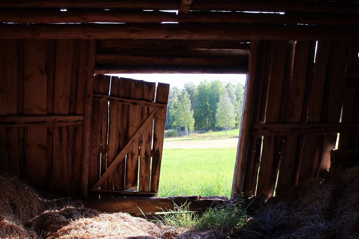
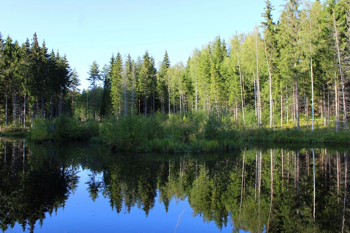
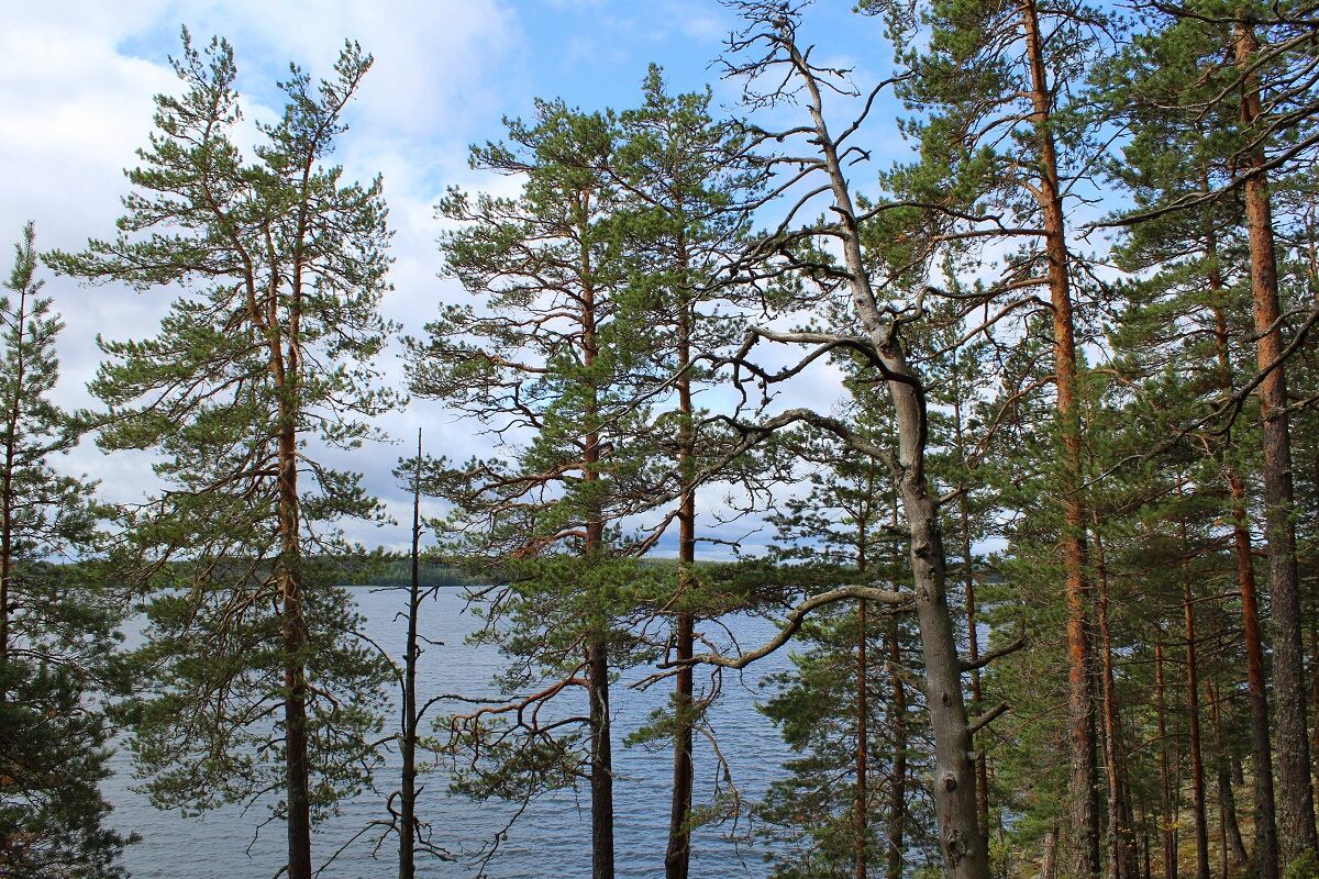
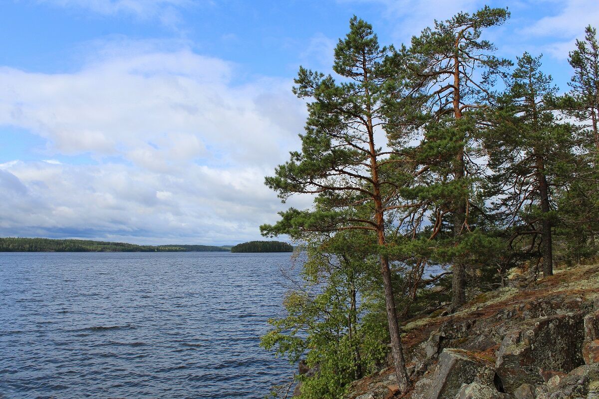
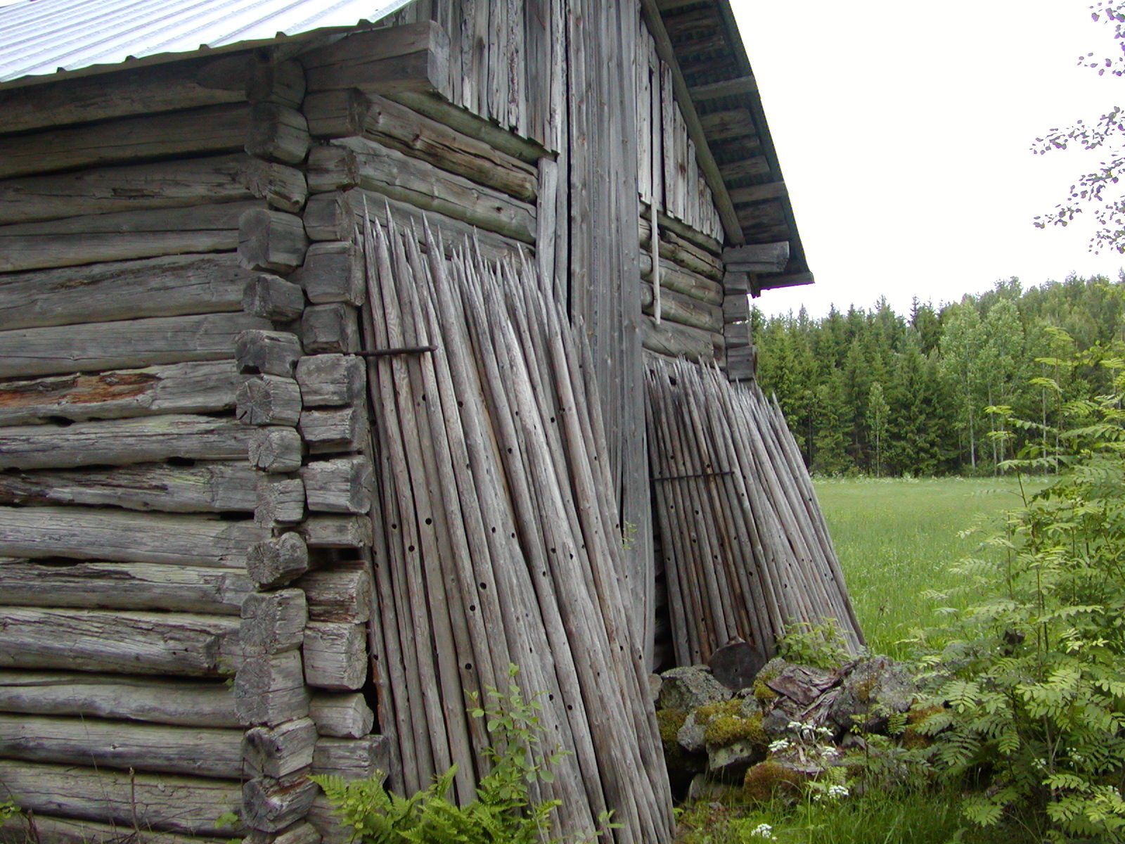
The Haikkaanlahti Hiking Trail (Haikkaanlahden retkeilyreitti) runs in the Kirkkosaari area, where the municipal centre of Taipalsaari is located. The trail travels via villages. The starting point is by the Haikkaanlahti sports field, by the junction of the roads of Savilahdentie and Vitsaintie. You can take the trail in either direction, but most people do it anticlockwise. The distance from the starting point to the Riutanlaavu lean-to shelter is 6.9 km and 4.8 km to the Kurenlaavu lean-to shelter. The trail introduces you to the Lake Saimaa archipelago. The trail travels through heaths, as well as on pine-dominant and rocky hills. Occasionally, it runs along moister depressions and wet mire sections. The cultural landscape with fields brings variation and the lake views are refreshing. The forests are commercial forests, with felled areas. There are two lean-to shelters along the trail: Riutanlaavu at Riutanniemi, by the shore of Pien-Saimaa, and Kurenlaavu in Telkkälä.

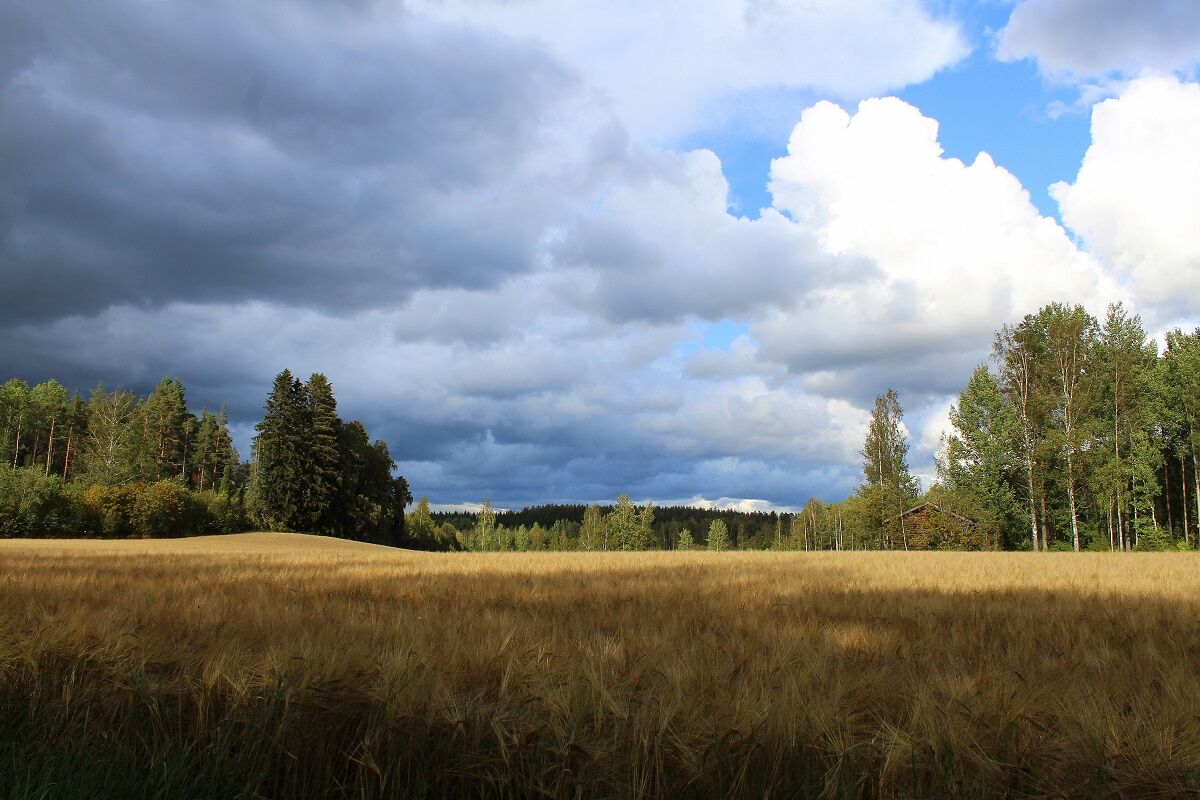
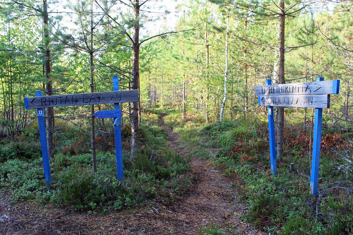
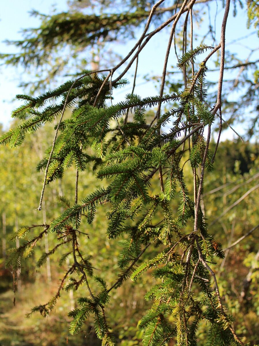
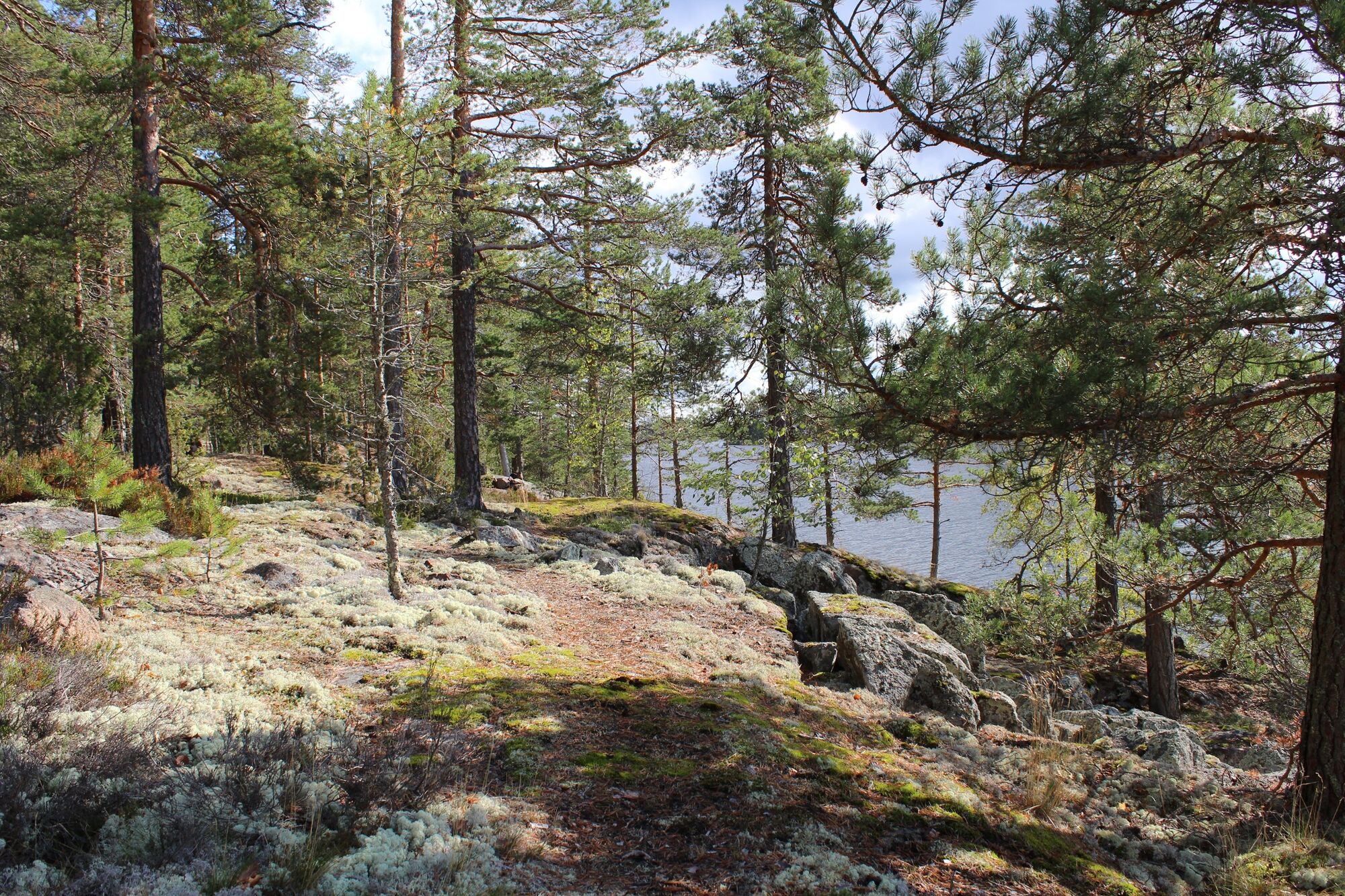
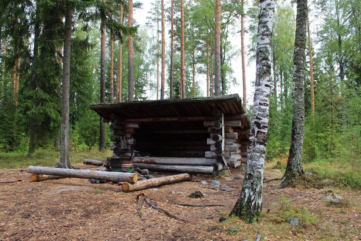
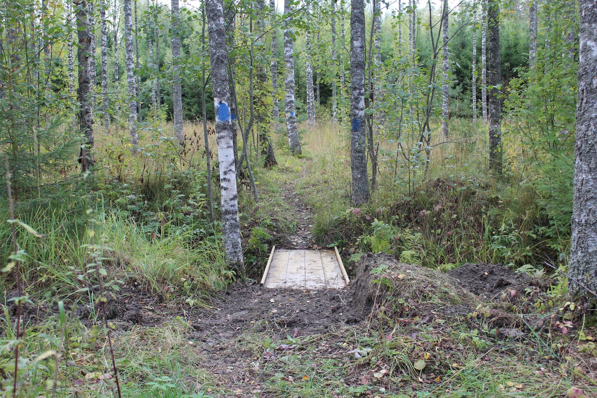
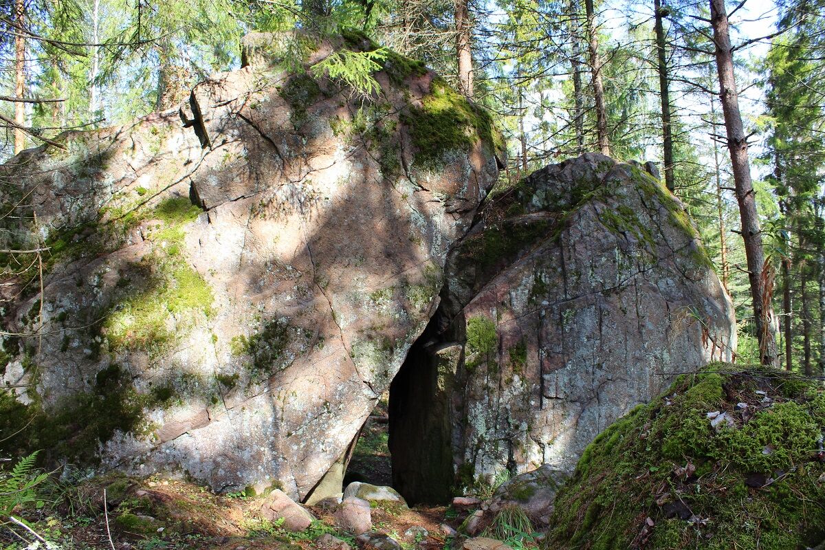
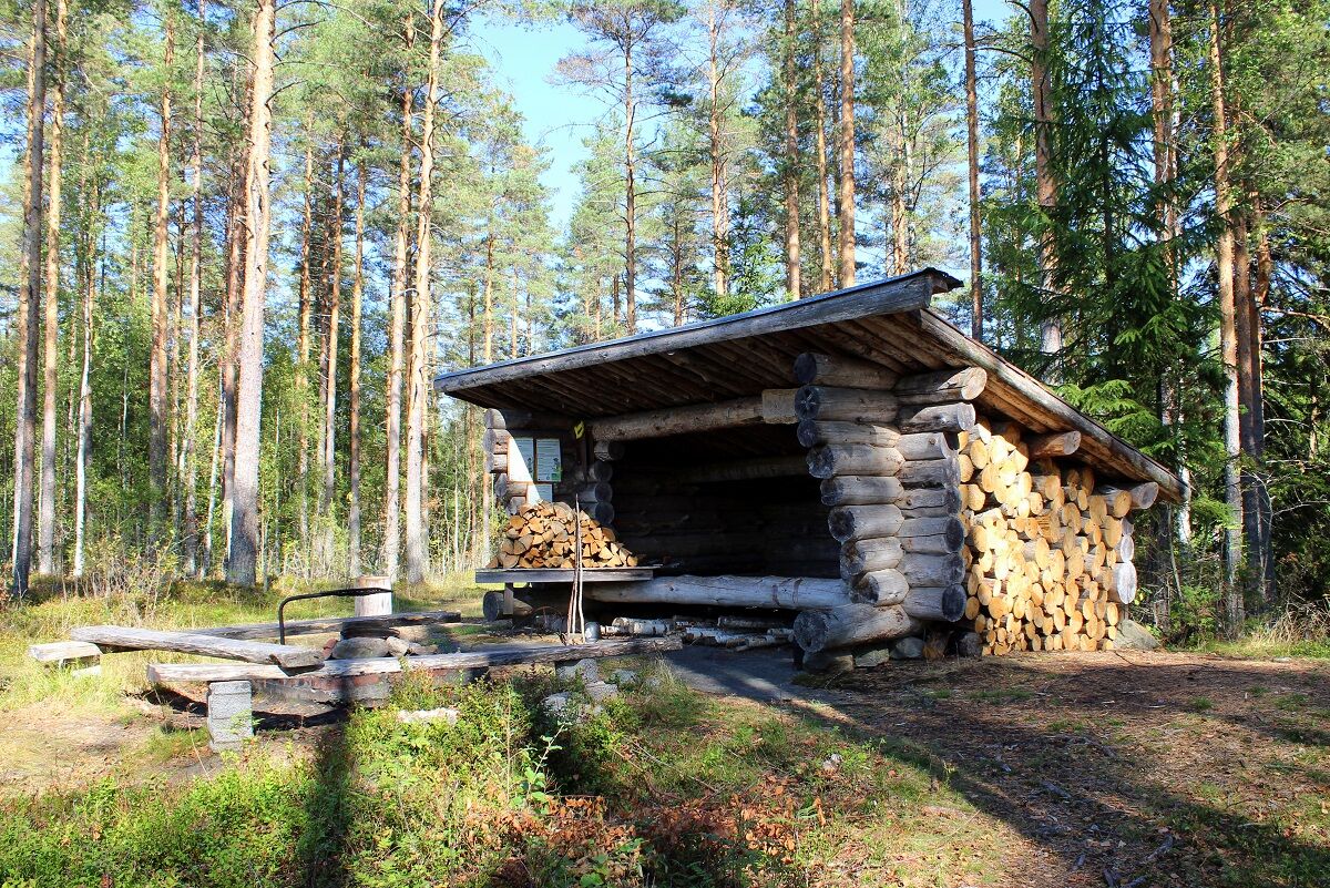
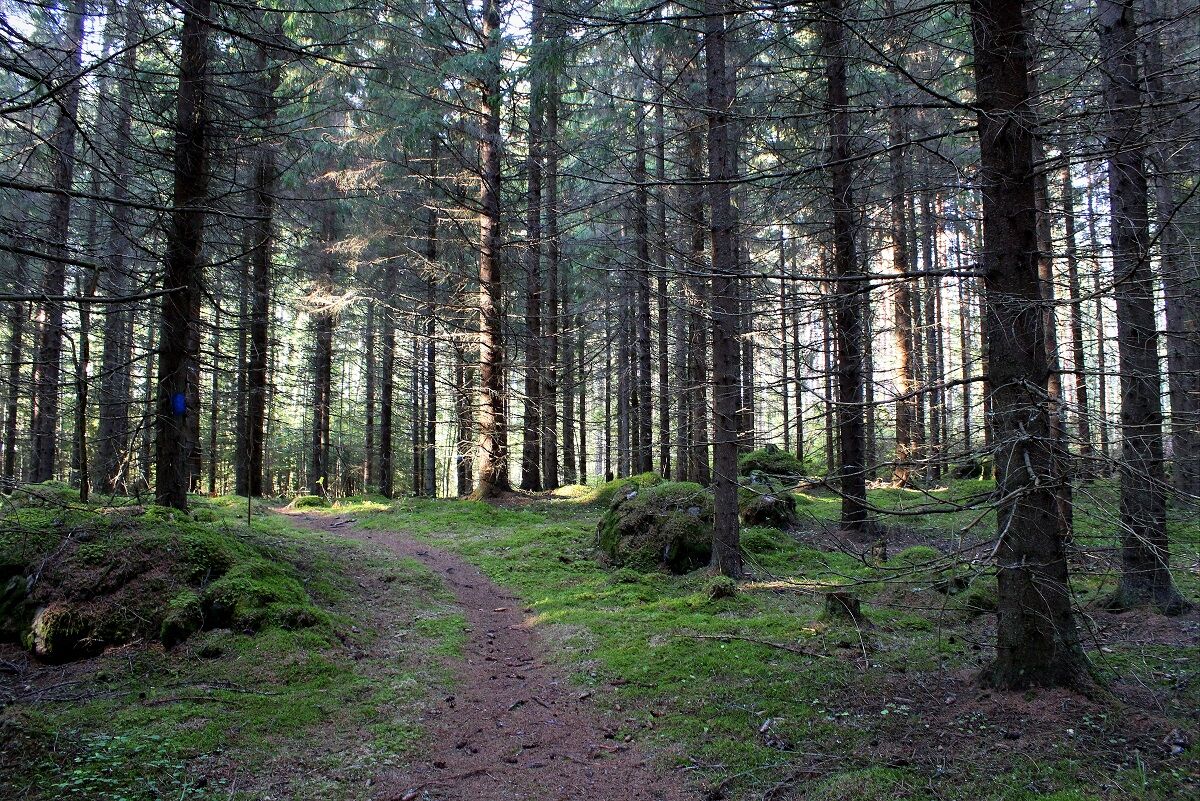
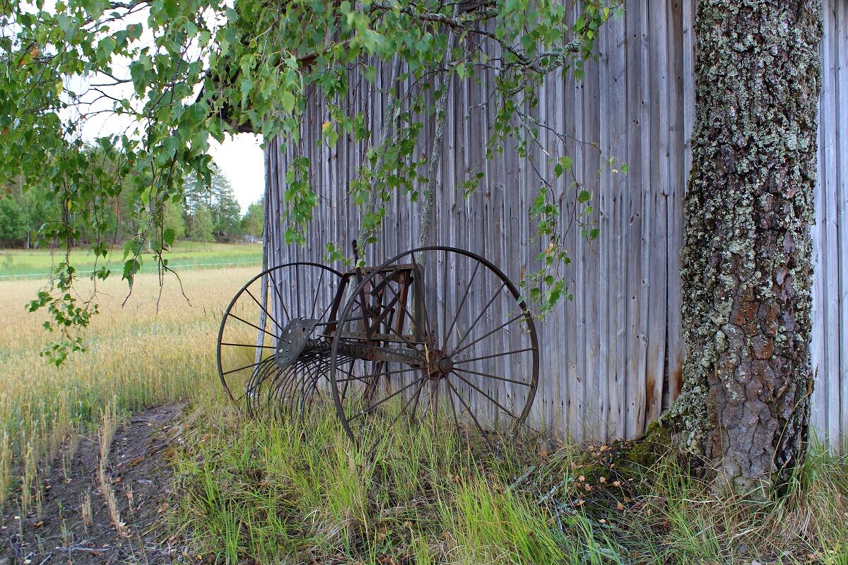
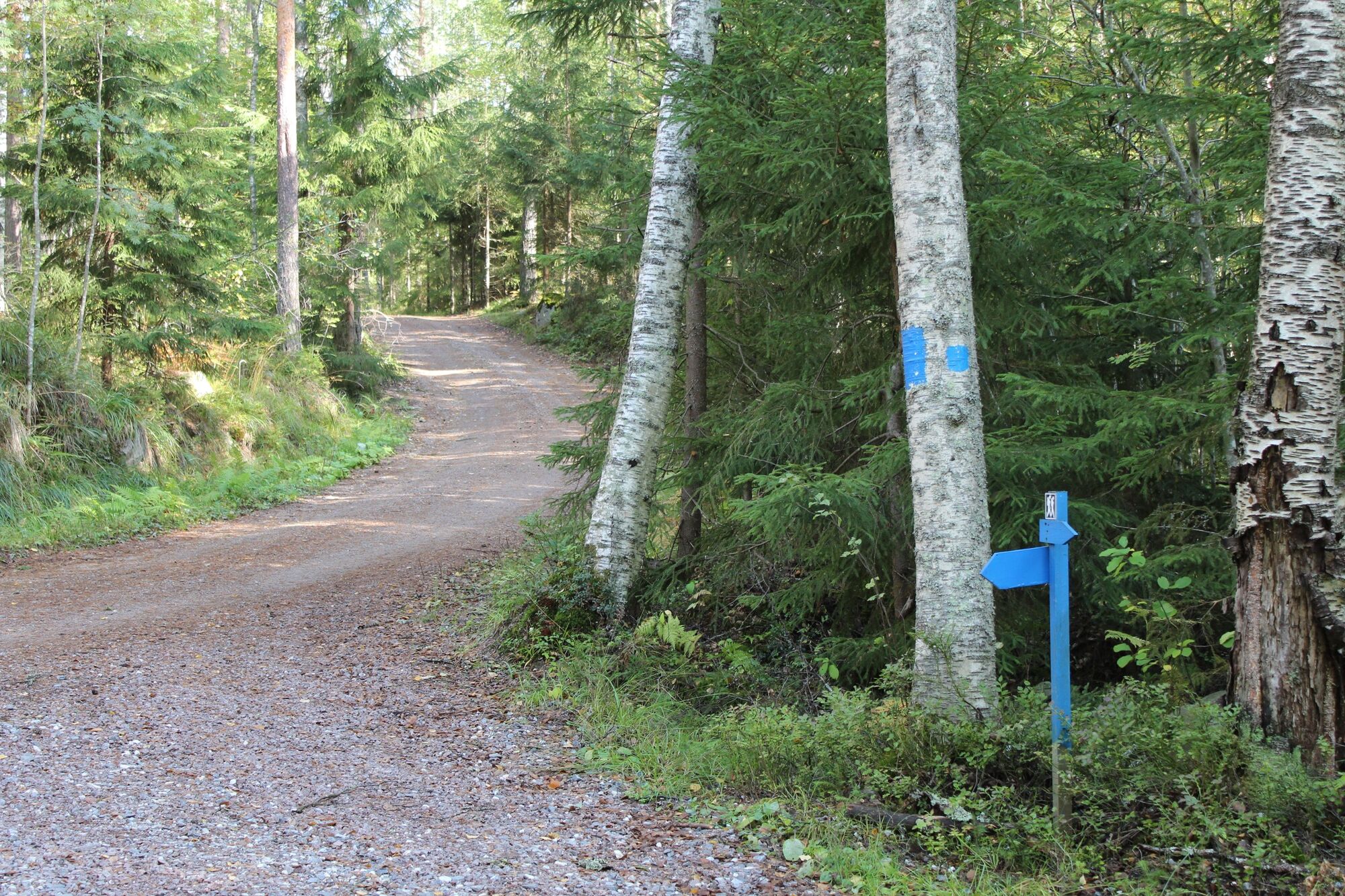
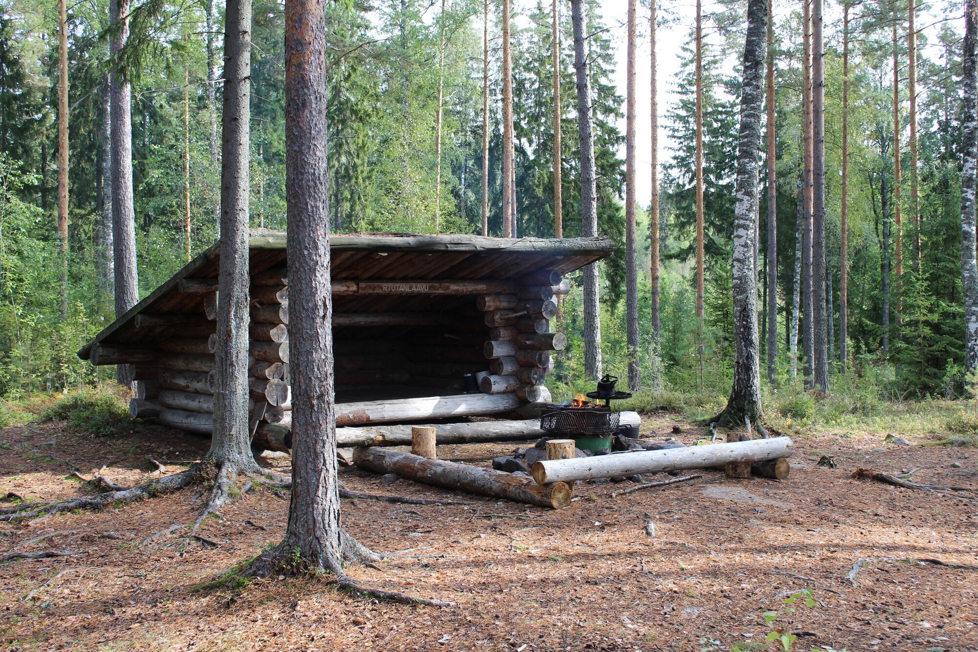
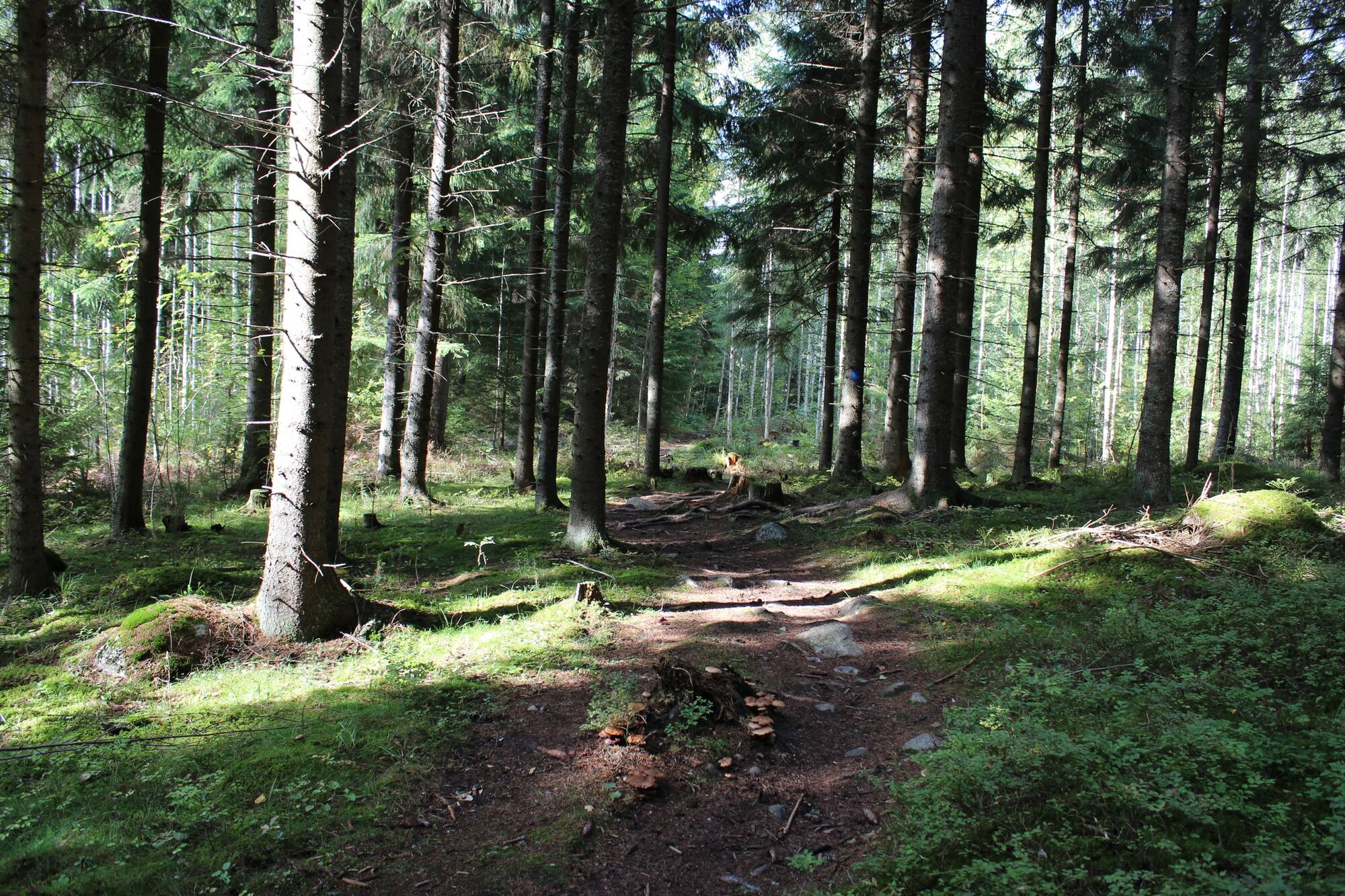
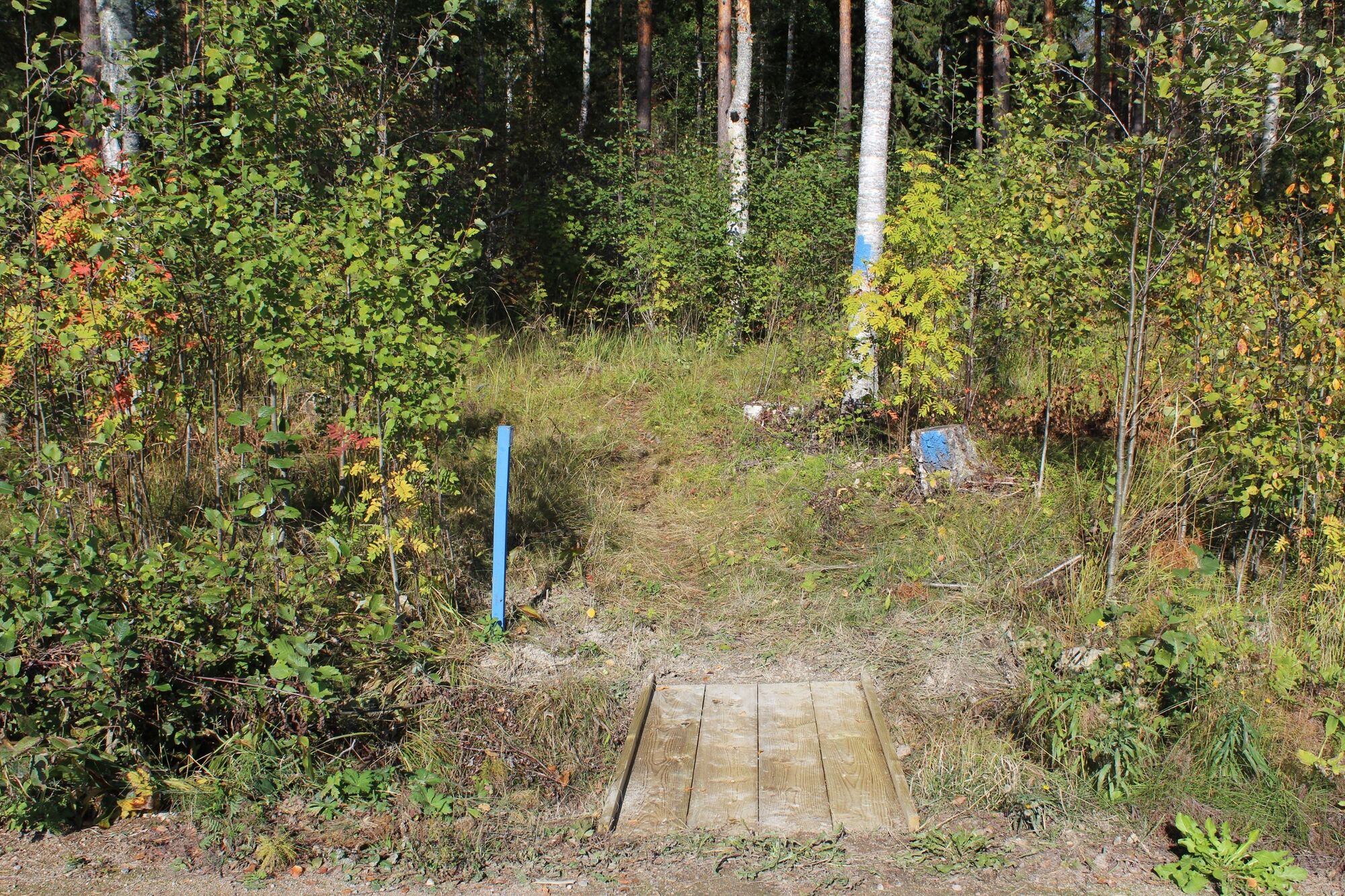
Reitille lähdetään Haikkaanlahden urheilukentän laidasta. Kentällä on hyvin pysäköintitilaa. Lähtöpaikalta lötyy kartta, Haikkaanlahden reitillä on siniset maalimerkit koko matkalla. Polkua vastapäivään kuljettaessa reitin varrelle jäävä ensimmäinen nähtävyys on käärmekuusi, jonka jälkeen laskeudutaan Tortonsuon kosteikon äärelle. Reitti jatkuu metsä- ja peltomaisemien kautta kohti Riutan laavua, joka sijaitsee hienolla kallioisella paikalla Pien-Saimaan rannalla. Riutan laavulta matka jatkuu jälleen metsämaisemien halki ja osaksi sorateitä pitkin. Vähän matkaa ennen Kurenlaavua reitti ylittää Savilahdentien, ole varovainen ylityksessä. Kurenlaavulta reitti kulkee metsäautoteitä ja metsäpolkuja pitkin takaisin lähtöpaikalle, eli Haikkaanlahden urheilukentälle.
Säänmukainen vaatetus, tukevat jalkineet ja riittävästi juomista.
Varaudu kulkemaan myös jonkin verran soratieosuuksia.
It is safest to move in a group if you do not know the terrain or the water area. Before the excursion, it is advisable to acquire the necessary maps and guides and check the weather forecast, particularly when going boating. Wear sturdy footwear and clothes that suit the weather. It is recommended that you take first aid equipment, rainwear, a spare set of clothes, as well as enough drinks with you, particularly in the summer. Remember to wear a floating vest when boating.
In wet weather and in winter, duckboards, rocks and piers can be slippery.
During the snowy season, the trails and routes are not maintained.
In an emergency, dial the number 112. Report your location, what has happened and listen to the instructions.
Lappeenrannasta Taipalsaaren kirkonkylän läpi tietä 408 Vitsain risteykseen. Reitti lähtee urheilukentältä. Osoite: Vitsaintie 1.
Reitille on myös muita mahdollisia lähtöpaikkoja.
Reitin upeat järvi- sekä maaseutumaiset kulttuurimaisemat jäivät mieleen. Riutan laavulle voi tulla lapsiperheen kanssa myös lyhyempää reittiä.
Popularne wycieczki w okolicy
-
5,0
Taipalsaari scenic cycling route
średniJazda na rowerze 42,7 km -
Mikonsaari nature trail, Lappeenranta
średniTrasa tematyczna 2,03 km -
Western Saimaa Fortress route
ciężkiJazda na rowerze 133,5 km -
Repovuori nature trail, Lemi
średniTrasa tematyczna 3,99 km -
Ruohosaari circuit, Lappeenranta
średniKajak / Canoe 22,8 km -
Savitaipale route - cycling route
średniJazda na rowerze 52,1 km -
Kuivaketvele Tour, Taipalsaari - Lappeenranta
średniKajak / Canoe 29,6 km -
Mikonsaari canoeing circuit, Lappeenranta
średniKajak / Canoe 16,3 km -
Parkinmäki nature trail, Lappeenranta
średniTrasa tematyczna 1,93 km -
Tuulimyllyn Nature Trail, Lemi
ciężkiTrasa tematyczna 5,58 km

Wędrówki i tropienie


Nie przegap ofert i inspiracji na następne wakacje
Twój adres e-mail została dodana do listy mailingowej.