






Central Alpine Trail 02 Stage Forchtenstein-Kobersdorf
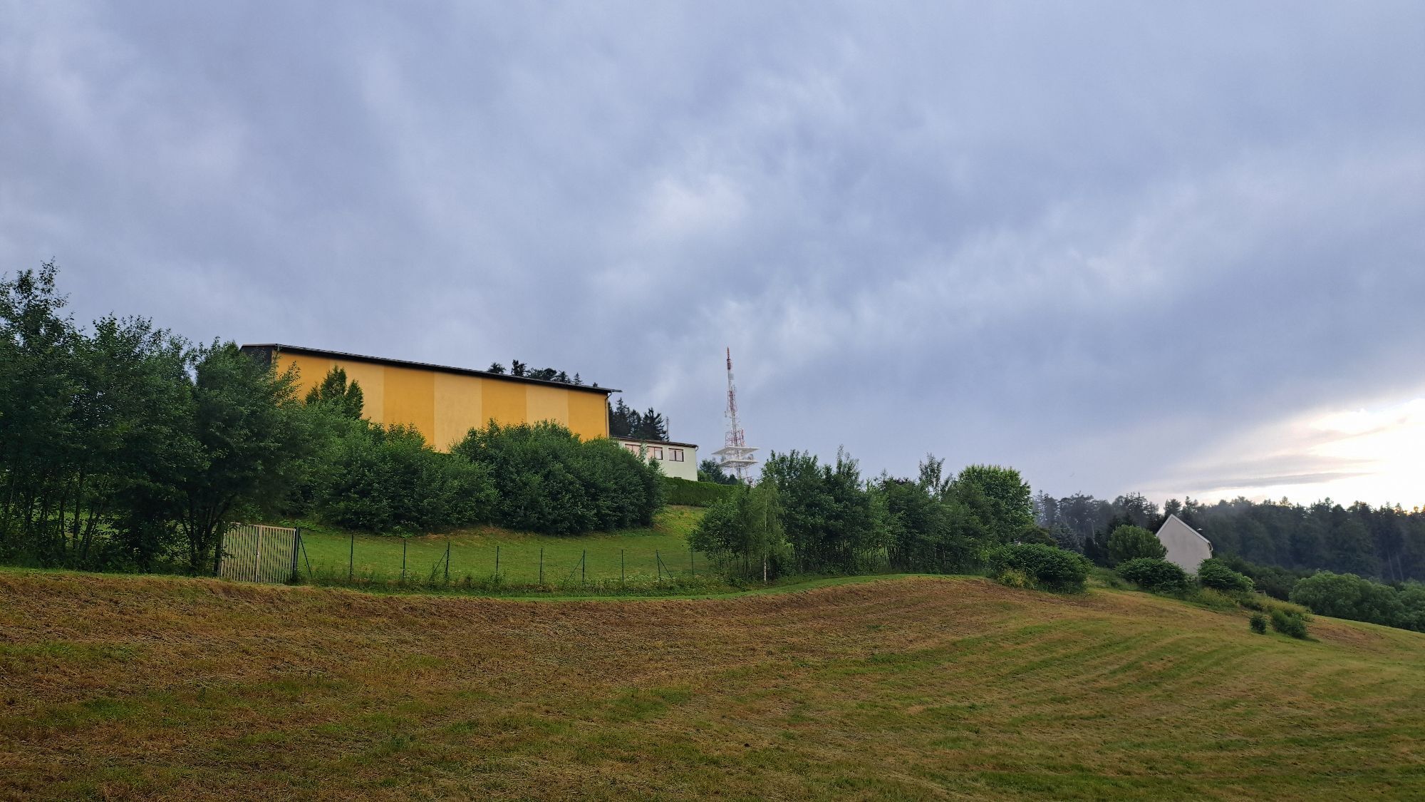
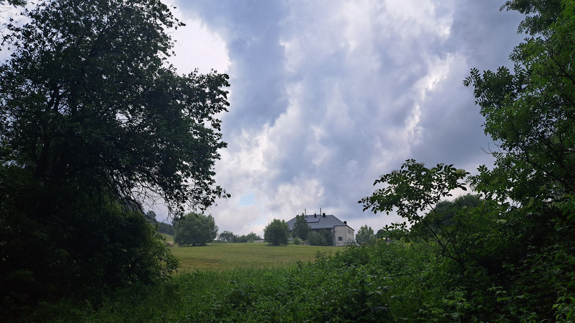
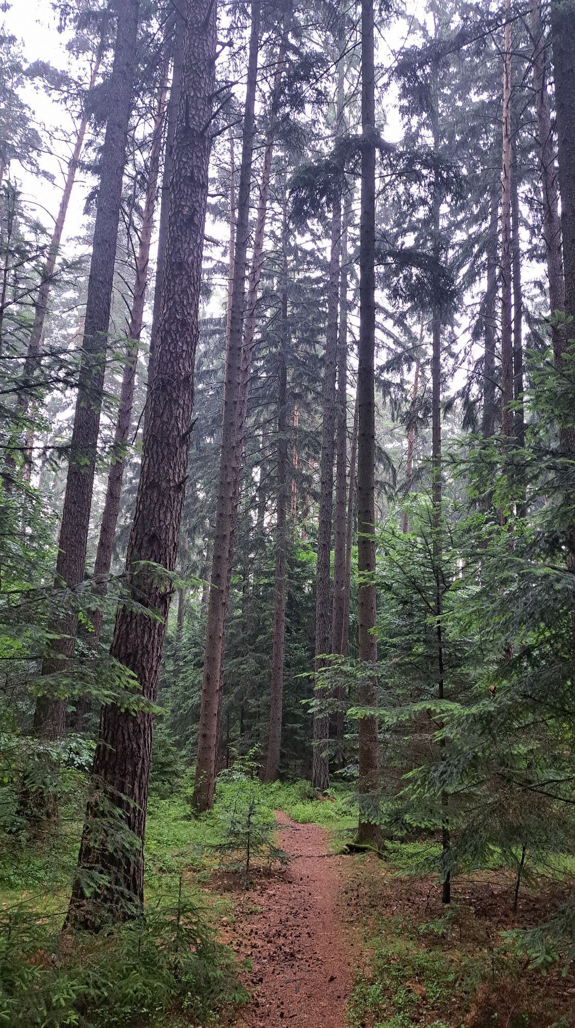
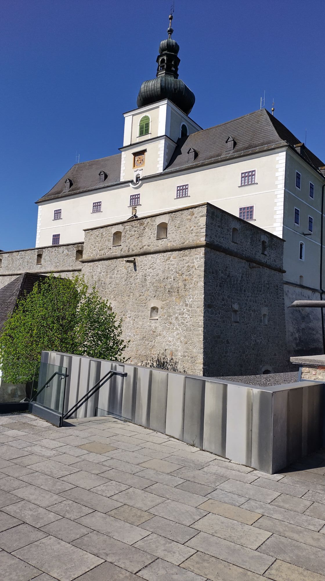

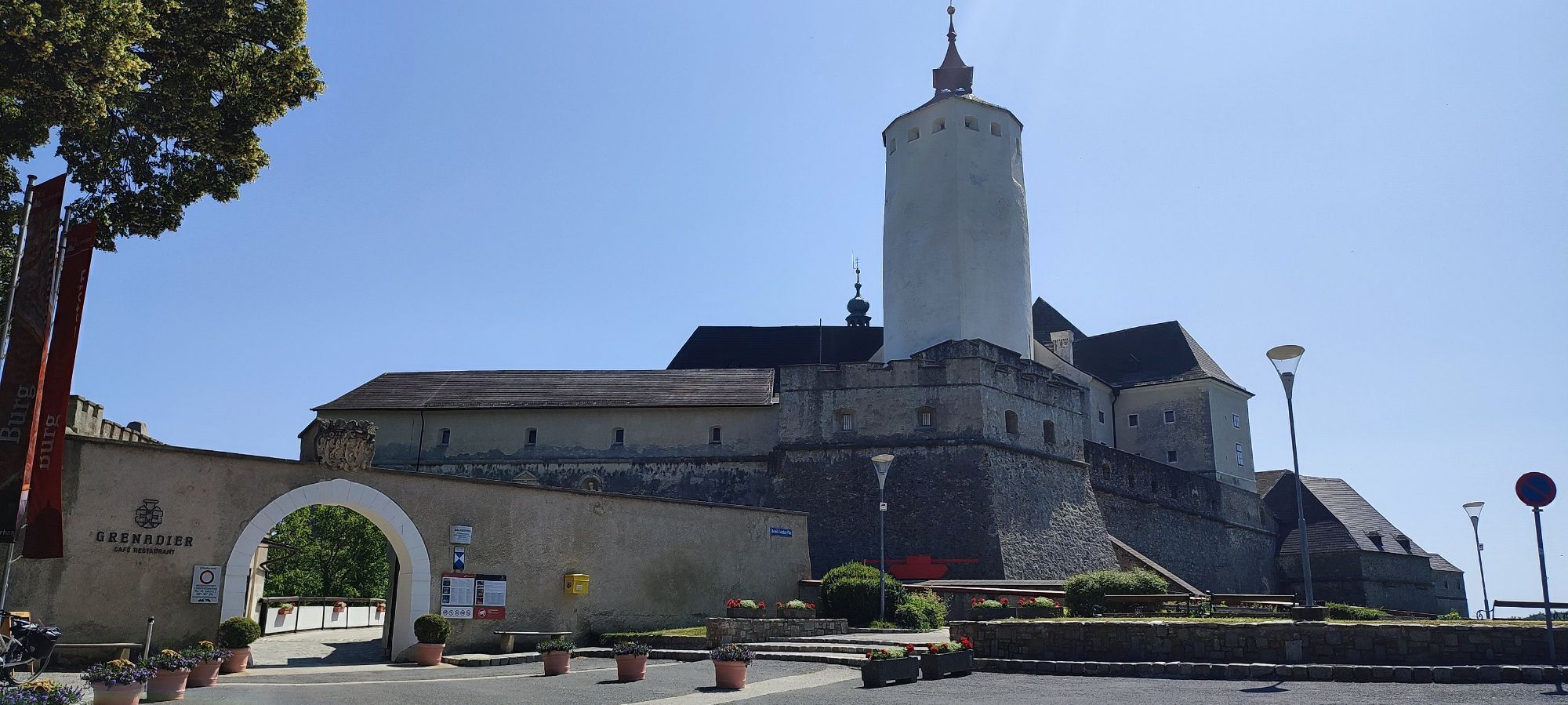
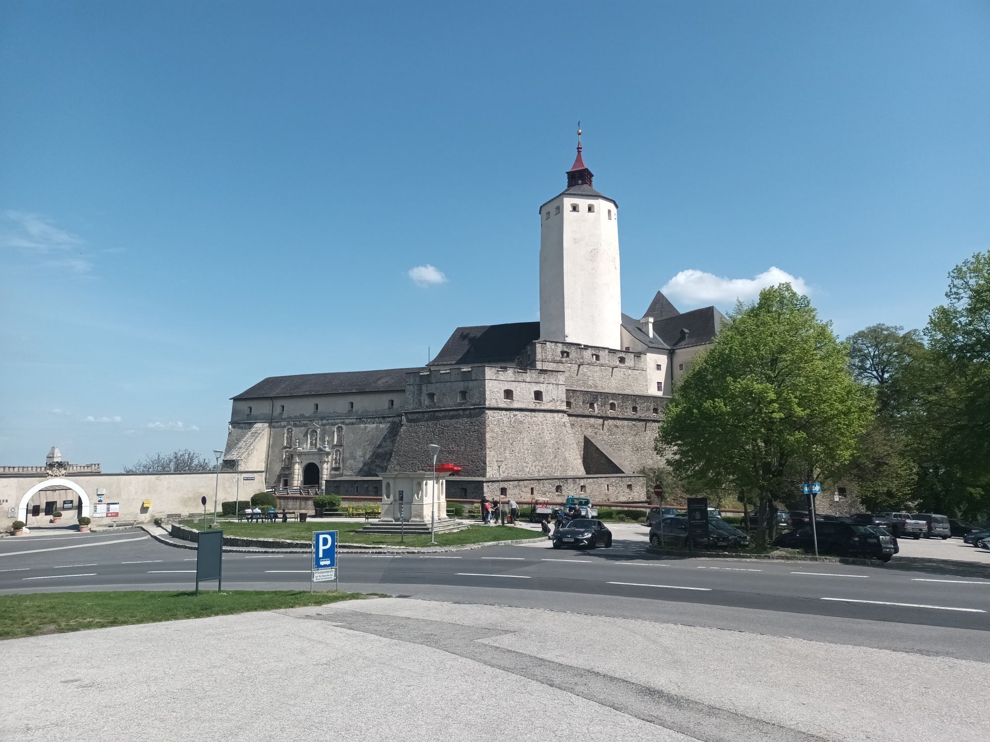
At Forchtenstein Castle, six long-distance hiking trails meet alongside numerous local hiking trails. From this hub, you start the last stage of the Burgenland Central Alpine Trail East. From Reserlgasse/Reitsteig,...
At Forchtenstein Castle, six long-distance hiking trails meet alongside numerous local hiking trails. From this hub, you start the last stage of the Burgenland Central Alpine Trail East. From Reserlgasse/Reitsteig, you ascend the densely forested Rosaliengebirge. On its summit, the Heuberg, stands the well-known Rosalien Chapel, from which you have a great view of the Burgenland stages walked so far. At the Lower Austrian border, the path leads over the Marriegel towards Sieggraben and Schwarzenbach, where you can make a detour to the Celtic village.
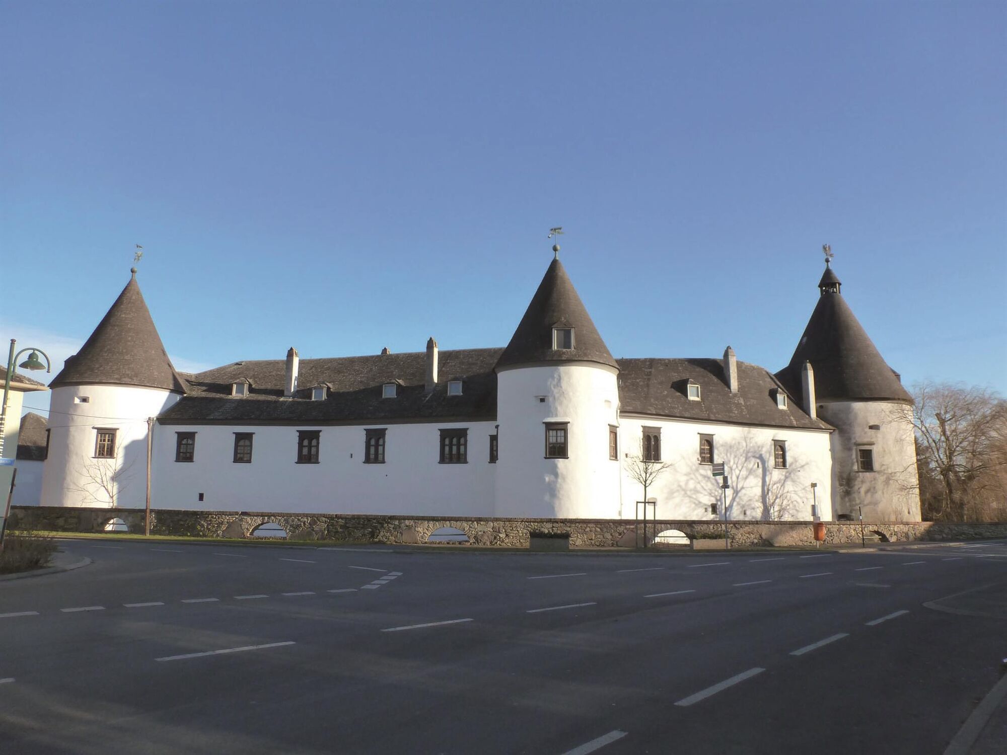
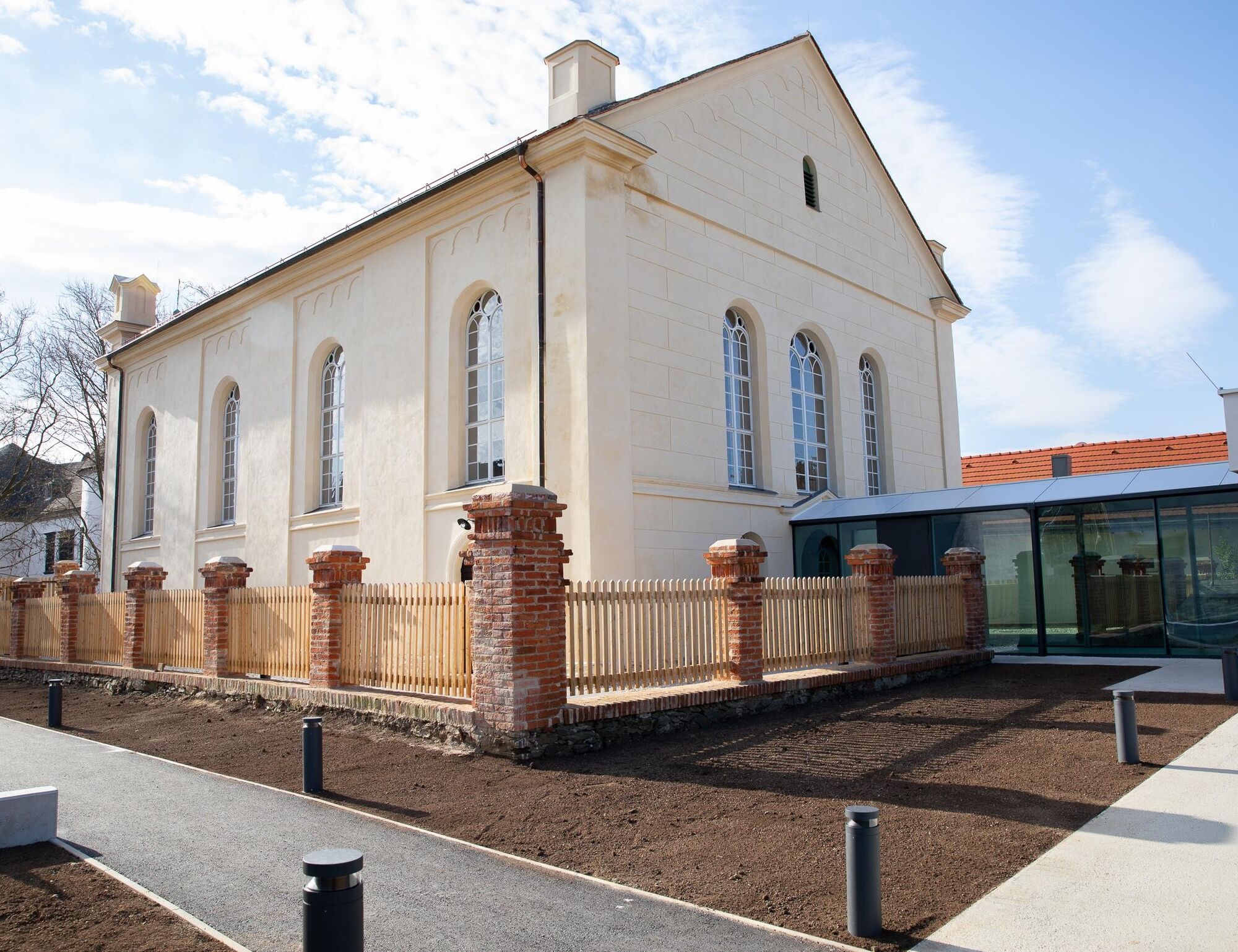
On this elevation, the Landseer Berge and Rosalia Kogelberg nature parks meet. In Kobersdorf, Kobersdorf Castle, the synagogue and Elisabethpark invite you to visit. Quench your thirst with the sparkling mineral water "Waldquelle", whose source is located on site, or the tasty Kobersdorf beer.


You mainly walk on natural paths and a section on asphalt.
Tak
Tak
Comfortable clothing and good footwear, drinking water, snacks, sun and rain protection
Check the opening hours of the gastronomy in advance. A mobile phone would be advisable.
A1, A2, A3, S4, S31
Federal and state roads
By train to Mattersburg station or Wiesen/Sigleß station
then continue by VOR or Blaguss bus directly to the starting point
Free directly at the starting point
A visit to the pilgrimage church "Maria Himmelfahrt", Forchtenstein Castle, the Rosalien Chapel, the Celtic village, the Elisabeth spring, the synagogue, and Kobersdorf Castle is worthwhile.
Uzyskaj wgląd
Zawsze na żywo z ponad 9 500 kamer internetowych. bergfex Jako użytkownik Pro, możesz teraz zobaczyć odpowiednie kamery internetowe dla wielu wycieczek w aplikacji wycieczki od. Pozwala to na bezpośredni podgląd aktualnych warunków.
Popularne wycieczki w okolicy
-
4,5
B32 Rosalia Bicycle Trail
średniJazda na rowerze 58,8 km -
4,7
Naturlehrpfad Katzelsdorf
światłoWędrówka 3,81 km -
4,5
To the Wiesen/Lanzenkirchen observation tower from the Rosalia
światłoWędrówka 4,25 km -
4,6
Gespitzter Riegel - Bad Sauerbrunn
światłoWędrówka 8,85 km -
4,6
Forchtenstein-Rosalienkapelle
światłoWędrówka 7,86 km -
4,0
Rosalia: Lanzenkirchen - Aussichtsturm
światłoWędrówka 11,1 km -
4,6
M32 On the Gspitzter Riegel from Bad Sauerbrunn
średniWędrówka 8,73 km -
2,9
Sonnenland Draisinentour
światłoJazda na rowerze 23,0 km -
4,5
B30 Kogel Bike Trail
średniJazda na rowerze 32,0 km -
4,2
MTB Buma Bia - route
ciężkiMountainbike 25,5 km
Wędrówki i tropienie


Nie przegap ofert i inspiracji na następne wakacje
Twój adres e-mail została dodana do listy mailingowej.





