


Accompanied by natural beauties and historic buildings - 01A Nordalpenweg Zagersdorf-Rosalia-Hochwolkersdorf
Zdjęcia naszych użytkowników

 © WeggefährtinUtworzono dnia 30.12.2025
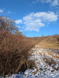 © WeggefährtinUtworzono dnia 30.12.2025
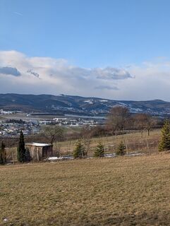 © WeggefährtinUtworzono dnia 30.12.2025
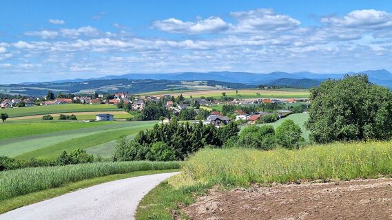
 © Gerhard GössingerUtworzono dnia 25.05.2025
 © bergwolfiUtworzono dnia 27.04.2025
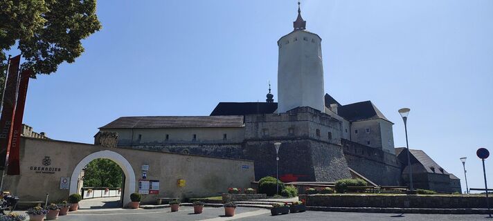
 © HHUtworzono dnia 22.06.2025
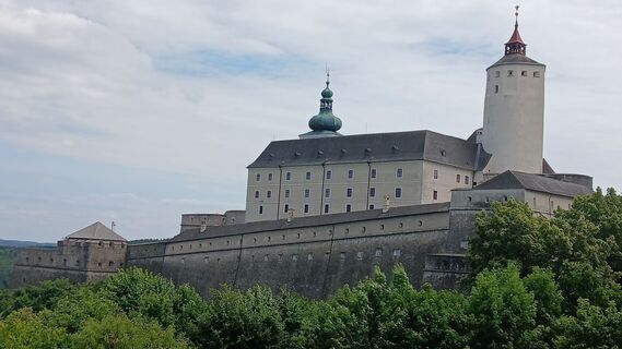
 © Peter FroihoferUtworzono dnia 17.06.2025
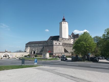
 © RudolfUtworzono dnia 23.04.2025
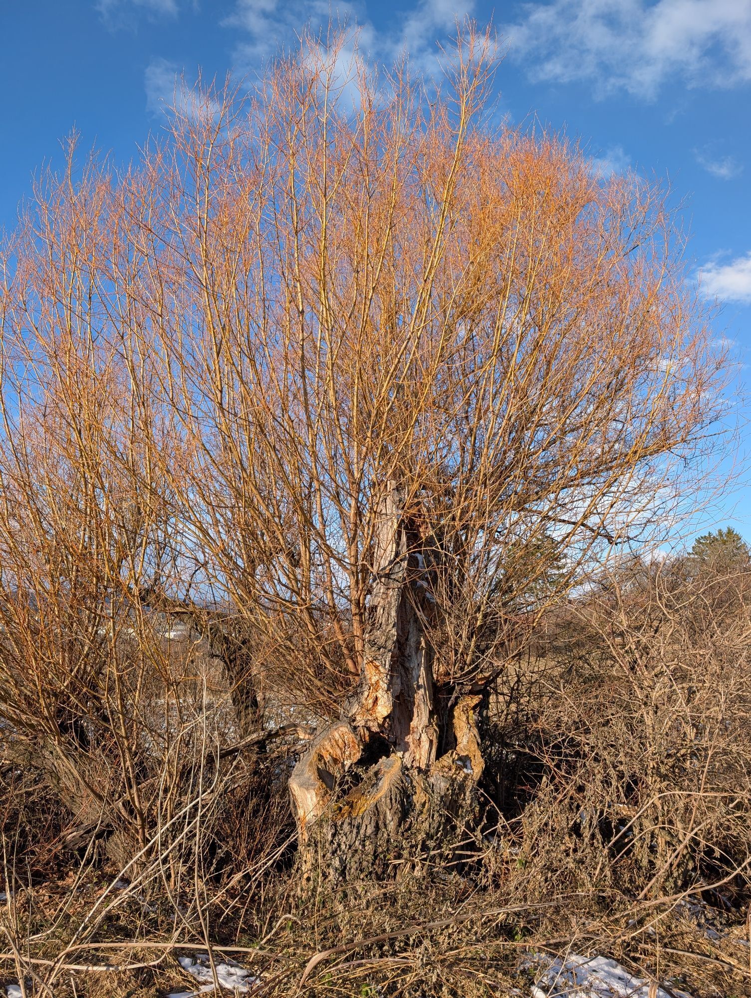

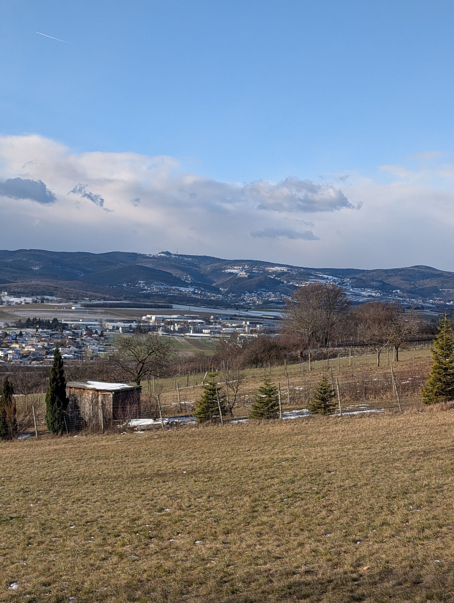


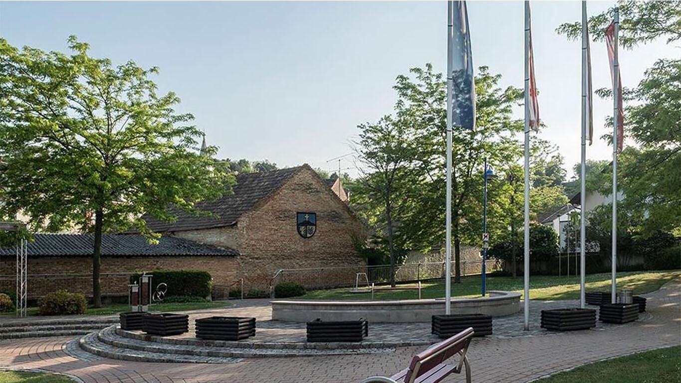
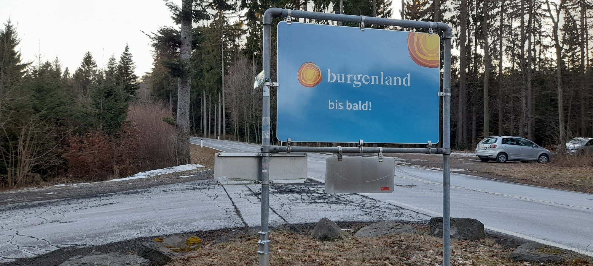
The Zagersdorf-Rosalia section of the Burgenland variant 01 of the Nordalpenweg leads you right through the Rosalia-Kogelberg Nature Park to the Lower Austrian border at the Rosalia. Leave everyday life...
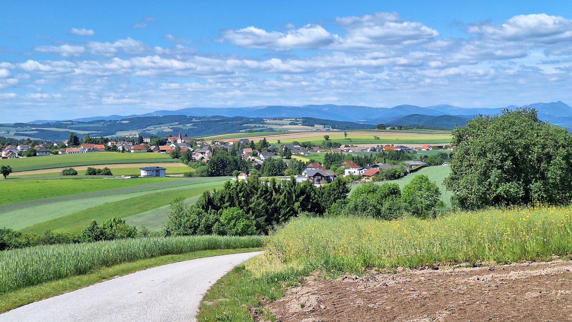
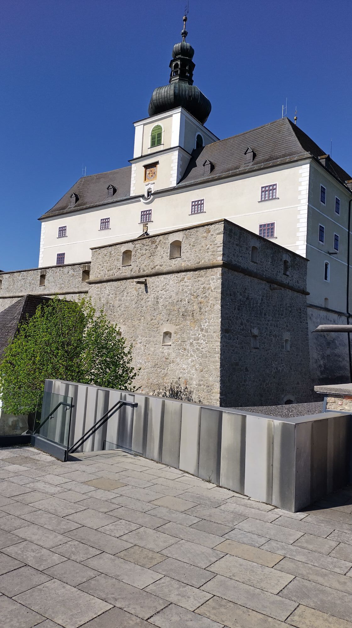
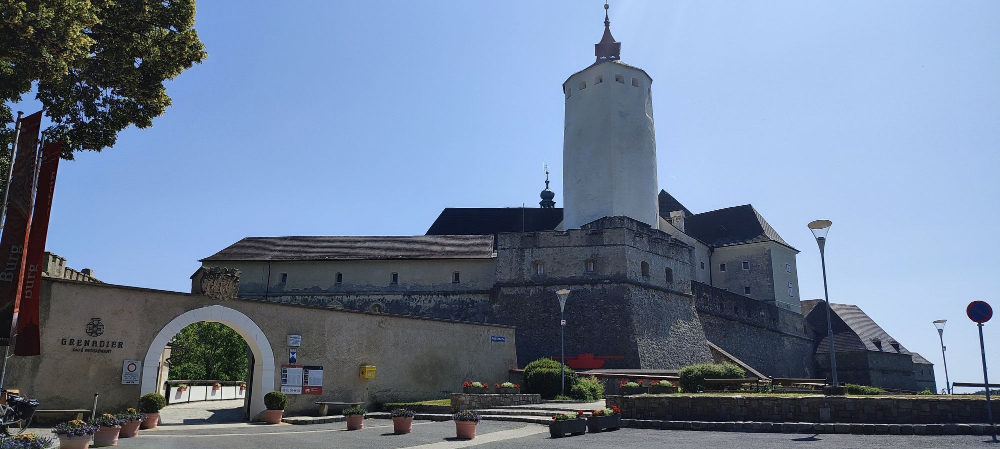
The Zagersdorf-Rosalia section of the Burgenland variant 01 of the Nordalpenweg leads you right through the Rosalia-Kogelberg Nature Park to the Lower Austrian border at the Rosalia. Leave everyday life behind and immerse yourself in this natural jewel. You will experience a unique landscape with a diversity that you will find nowhere else. Meadows, dry grasslands, overgrown ponds, orchards, and structuring hedges shape the nature park. In between, you will find endless vineyards and farmland framed by beautifully shading forests. Birdwatchers will enjoy it here just as much as those who love movement and culture lovers. Great viewpoints and distant views accompany you on this hike, as well as impressive buildings. The most impressive cultural jewel is Forchtenstein Castle, which invites you all year round with interesting tours and events.

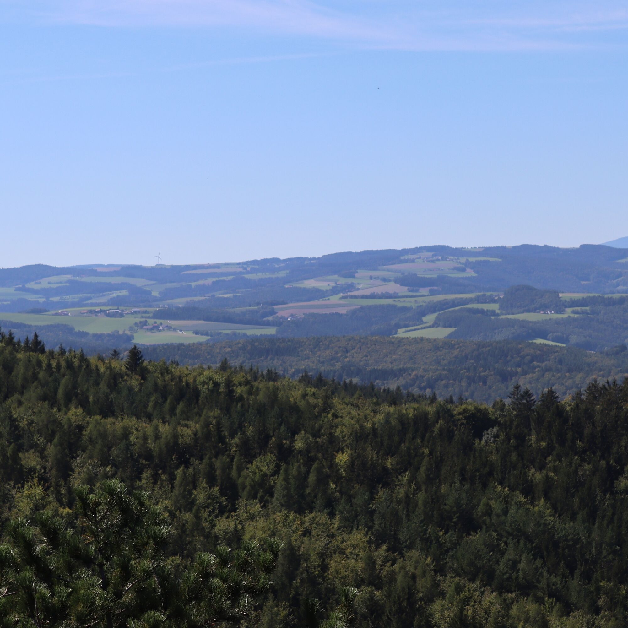
This route partially leads on asphalt, gravel road, street, and path. Up to Forchtenstein, the route is only slightly hilly. The section from Forchtenstein to Rosalia is quite challenging in terms of ascent. The paths are very well developed, making hiking a pleasure.
Tak
Comfortable outdoor clothing, water bottle and snack, sun and rain protection
Be sure to take drinking water and a mobile phone for emergencies.
Inform yourself in advance about the opening hours of the gastronomy.
A1, A2, A3, S4, S31
federal and state roads
Baumgarten/Schattendorf train station and further by bus
free near the starting point
The best time for your hike is from spring to late autumn.
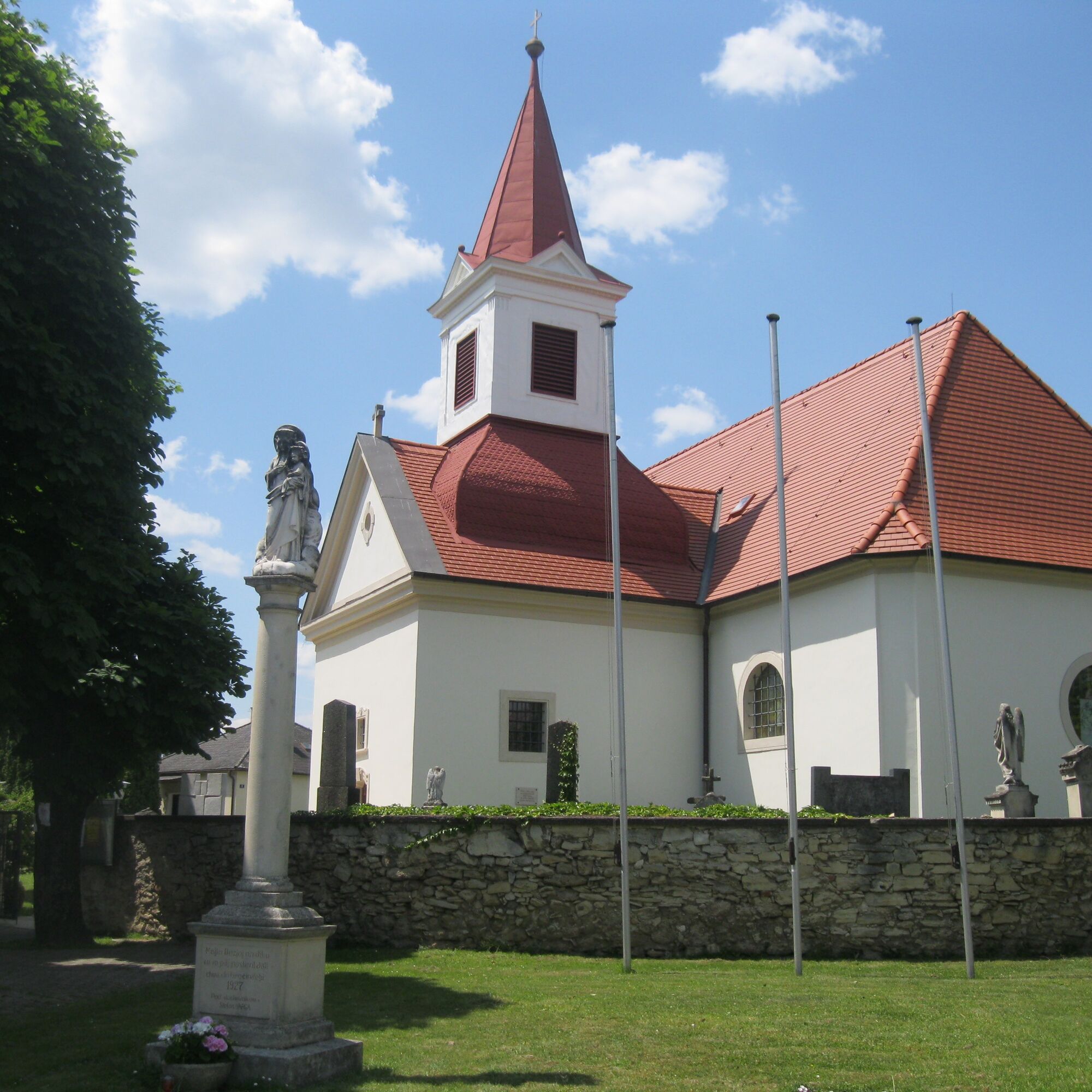
black cross in Draßburg, Pauline Monastery in Baumgarten, Rohrbach pond meadows, fortified church in Marz, viaduct, Jewish memorial and Johann Nepomuk Chapel in Mattersburg, lime kiln, pilgrimage church Mariä Himmelfahrt, Forchtenstein Castle and Rosalia Chapel in Forchtenstein
Popularne wycieczki w okolicy
- 4,7
B32 Rosalia bike route
średniJazda na rowerze 58,8 km - 4,7
Naturlehrpfad Katzelsdorf
światłoWędrówka 3,81 km - 4,5
To the Wiesen/Lanzenkirchen observation tower from the Rosalia
światłoWędrówka 4,25 km - 4,6
Gespitzter Riegel - Bad Sauerbrunn
światłoWędrówka 8,85 km - 4,6
Forchtenstein-Rosalienkapelle
światłoWędrówka 7,86 km - 4,0
Rosalia: Lanzenkirchen - Aussichtsturm
światłoWędrówka 11,1 km - 4,5
M32 On the Gspitzter Riegel from Bad Sauerbrunn
średniWędrówka 8,73 km - 4,2
MTB Buma Bia - route
Mountainbike 25,5 km - 4,3
Hiking "Following the footsteps of Salah he", Forchtenstein
średniWędrówka 9,11 km - 3,1
Rundwanderung zum Herrentisch
średniWędrówka 13,7 km

Wędrówki i tropienie


Nie przegap ofert i inspiracji na następne wakacje
Twój adres e-mail została dodana do listy mailingowej.