






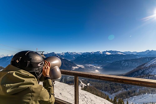
Connecting cycle path Neusiedler See - Seewinkel National Park to the Danube cycle path (B26)

Poziom trudności: 1
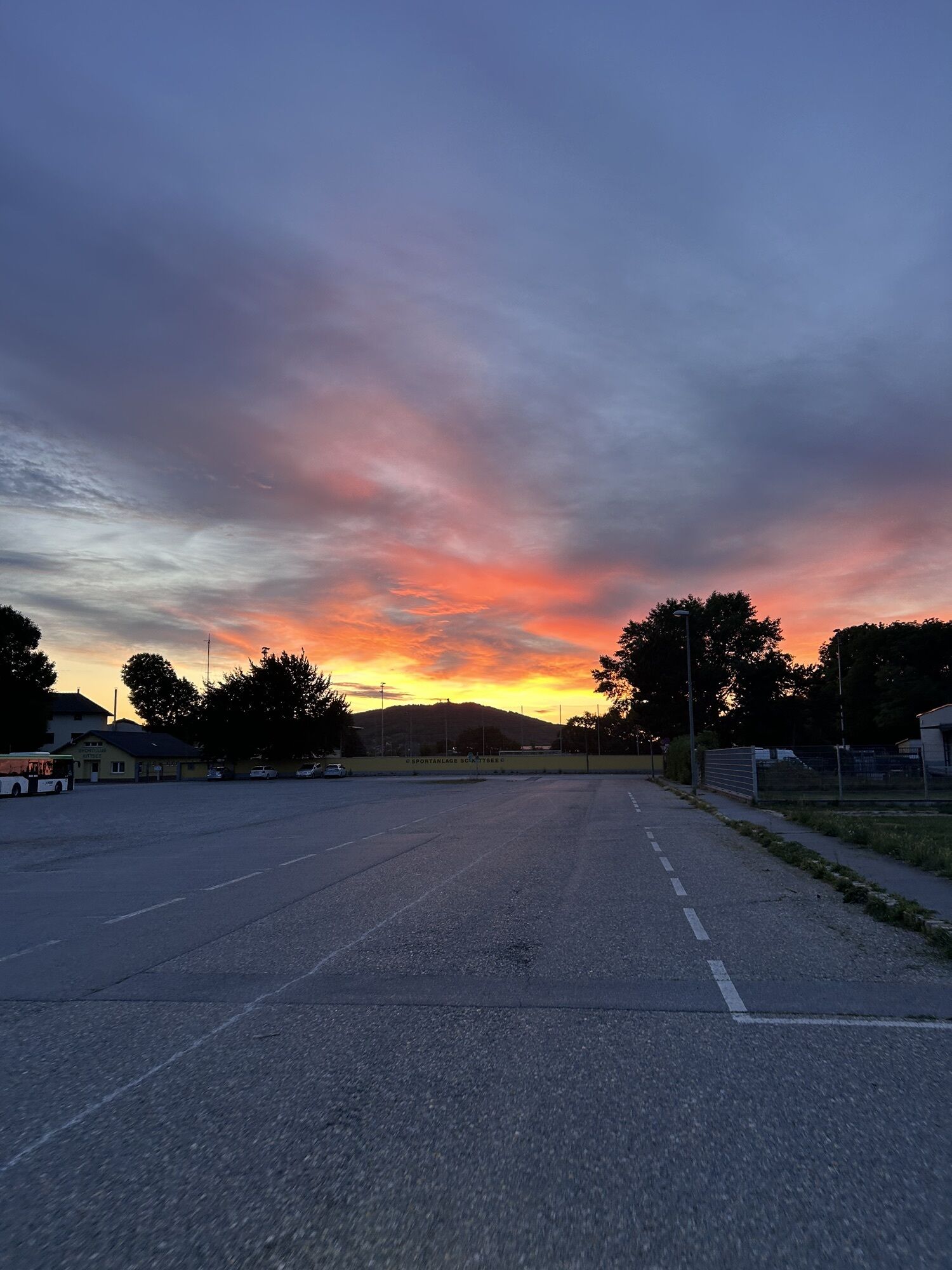
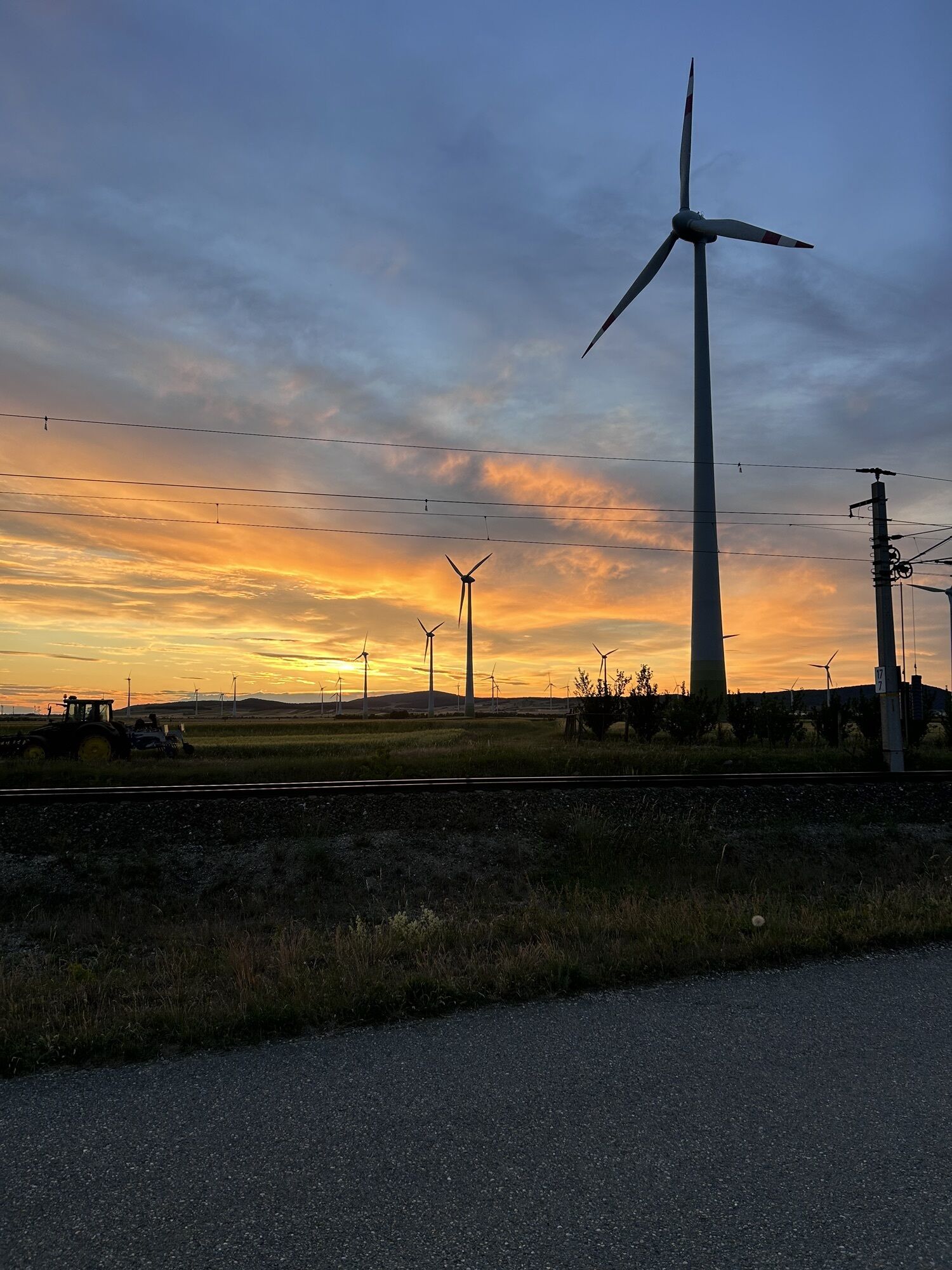
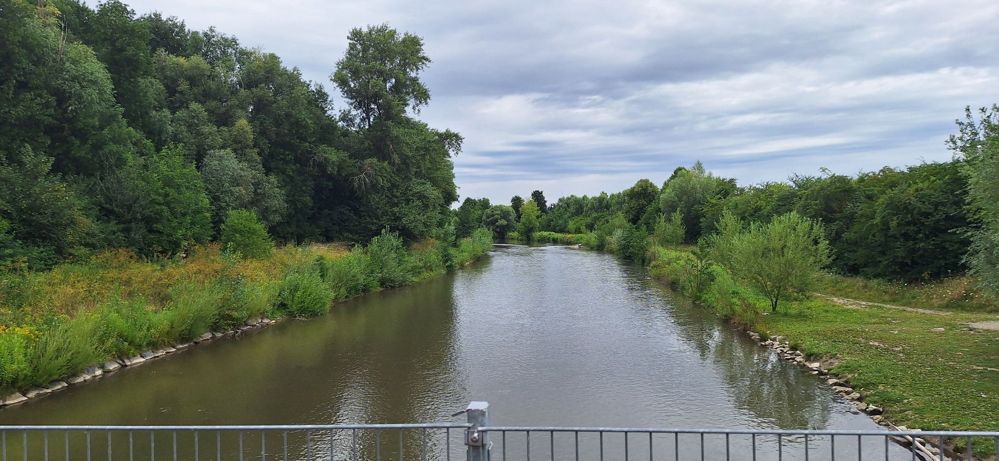
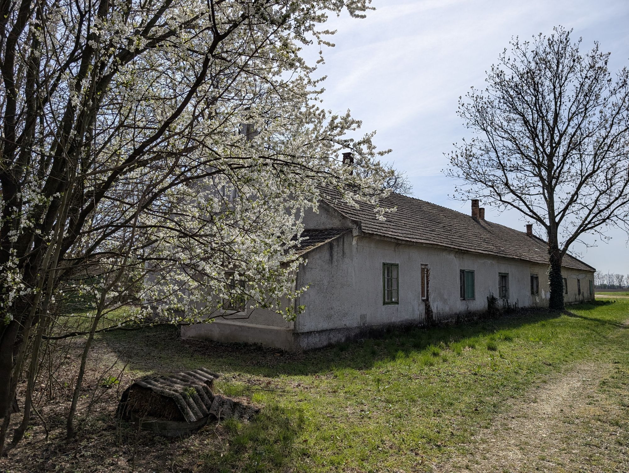
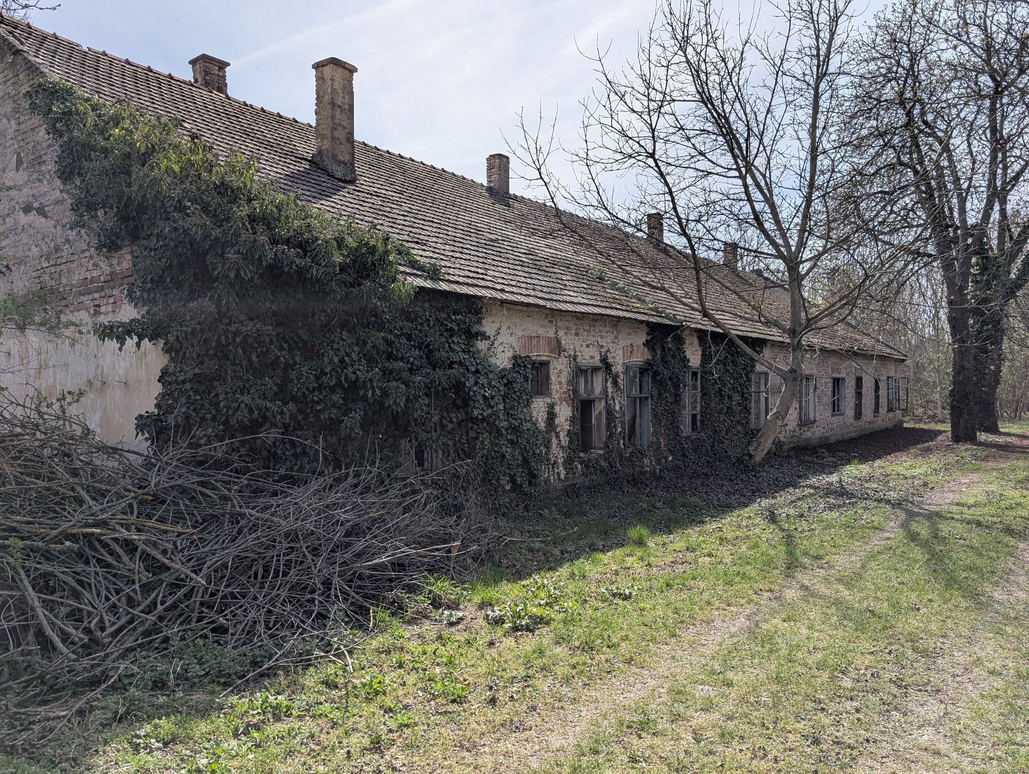
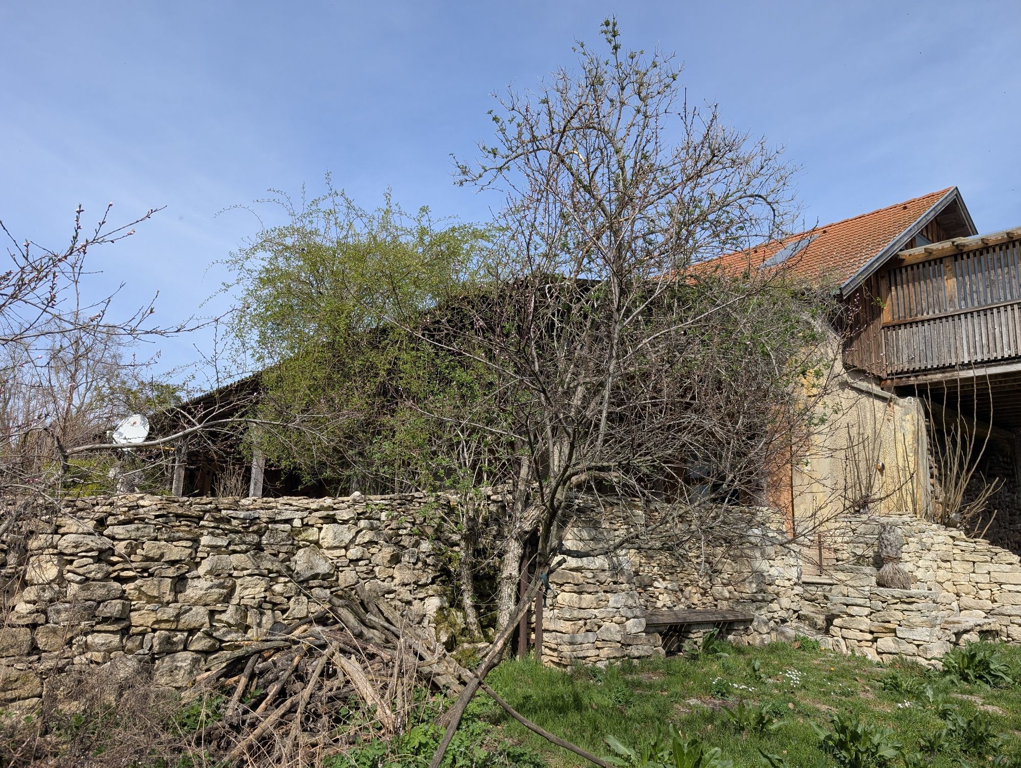
On the connecting cycle path B26, you cycle from the Neusiedler See - Seewinkel National Park to Edelstal to the Danube cycle path. Enjoy the charm in the small towns along the way and the tranquility...
On the connecting cycle path B26, you cycle from the Neusiedler See - Seewinkel National Park to Edelstal to the Danube cycle path. Enjoy the charm in the small towns along the way and the tranquility along this route. The mostly flat route runs along the state border to Slovakia or Hungary. It runs through an area shaped by the Leitha.

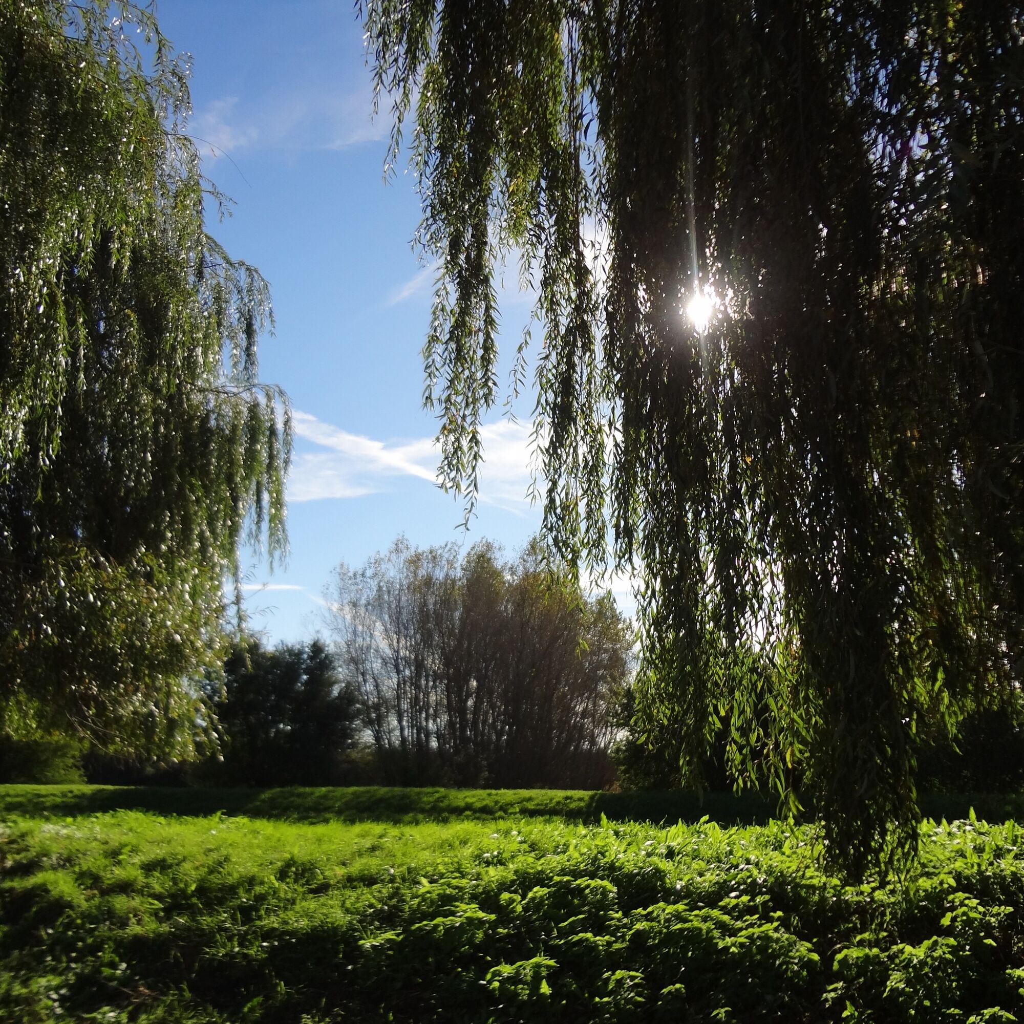
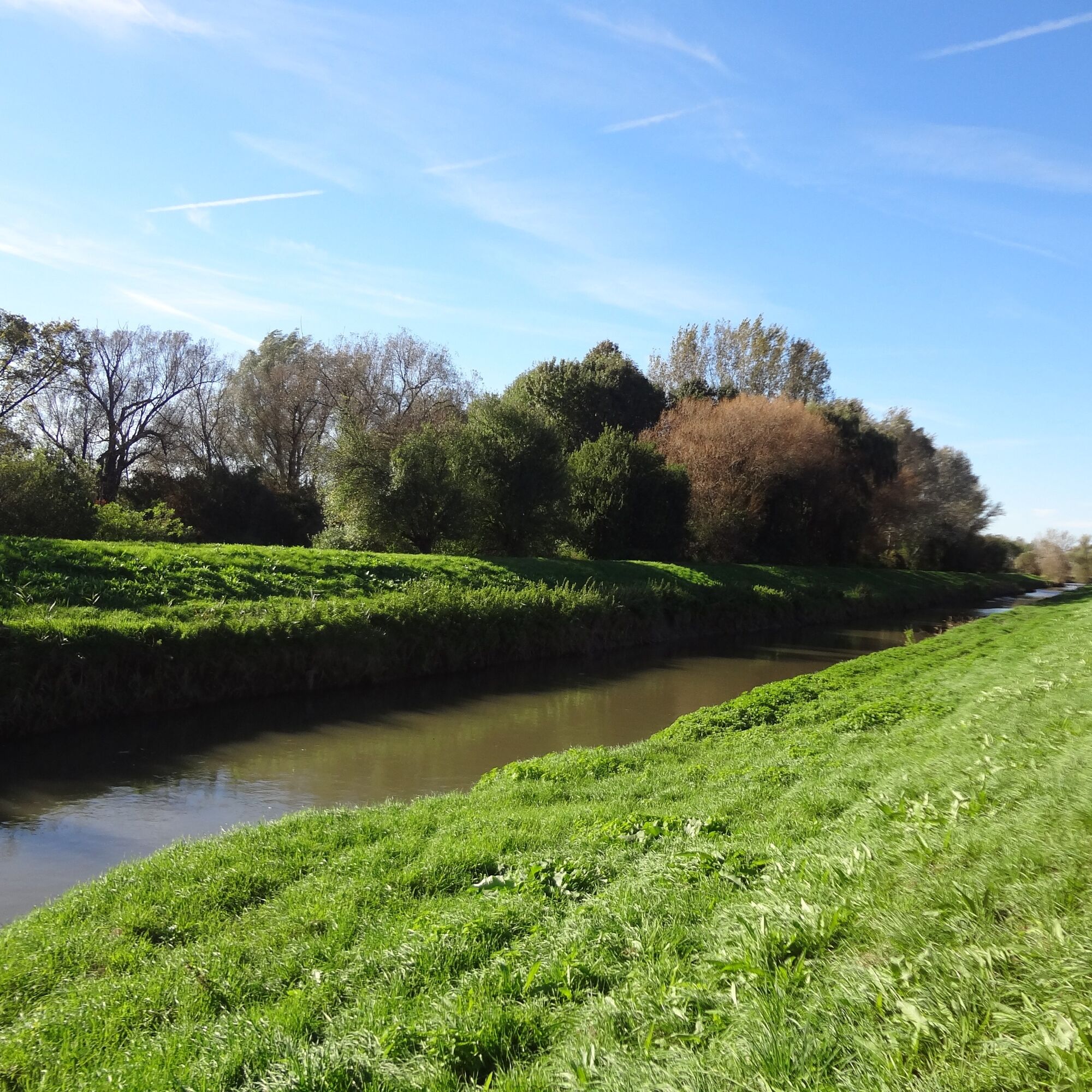

The route is mostly paved.
Places on the B26:
Halbturn, Nickelsdorf, Zurndorf, Gattendorf, Pama, Kittsee, Berg, Edelstal
Since many cycle paths are agricultural service roads, agricultural traffic is to be expected there. Mutual consideration ensures these roads remain pleasant for everyone to use.
Austria: There is a bicycle helmet requirement for children up to 12 years old. Reflective vests are not mandatory at dusk, in darkness, or poor visibility, but certainly advantageous. Here is the Austrian bicycle regulation.
Slovakia: Bicycle helmets are mandatory for all children under 15 years. For adults, helmet use is required only outside urban areas. However, it is strongly recommended that adults always wear a bicycle helmet. Cyclists riding at the roadside under reduced visibility must wear visible signaling elements or a reflective vest.
Hungary: There is no helmet requirement for cyclists. The maximum speed for cyclists outside built-up areas is 40 km/h. A speed of 50 km/h is allowed if the cyclist wears a helmet. At night and in poor visibility, all cyclists must wear a reflective vest.
Travel documents: Valid ID card or passport is mandatory!
You can find details on arrival here: Calculate route
Since this is a connecting cycle path, unfortunately, there is no possibility of direct public transport access in this case.
However, you can travel publicly by train to Mönchhof (neighboring town):
Neusiedler See is easily & comfortably accessible by train. Whether you are coming from Switzerland, Germany, the west or south of Austria: you can calmly change trains at Vienna main station. The ÖBB regional trains bring you in just under 40 minutes to Neusiedl am See station, where coordinated bus and train connections towards Mönchhof are also offered. On most trains, bicycle transport is possible: a reservation for your bicycle is absolutely necessary on Railjet and EC/IC as well as on Nightjets. On regional trains, your bicycle is taken without reservation subject to availability of bicycle spaces.
Timetable information: ÖBB
If you travel by car and want to park in one of the towns along the route, please contact the respective tourist office.
1
The Burgenland App also informs you on the go about routes, track progress and altitude meters.
Looking for a ready-made package for your active holiday? Here you will find it: Package deals at Neusiedler See
With the Burgenland Card: Unlimited holiday fun & offers as far as the eye can see!
All information here: Burgenland Card
Popularne wycieczki w okolicy
-
4,2
N21 WeinWeg Gols
światłoWędrówka 13,0 km -
4,3
Weidener Landscape Wine Hiking Trail
średniWędrówka 8,35 km -
4,0
Explorer Route – Danube meets Lake Neusiedl
światłoJazda na rowerze 95,3 km -
+++ E-Bike Neusiedlersee Runde, Burgenland/Österreich
średniWędrówka 75,6 km -
4,0
Windradweg
światłoJazda na rowerze 56,2 km -
3,8
Bratislava Blick - Königswarte - Pfarrkirche hl. Anna - Petržalka
średniWędrówka 5,93 km -
5,0
Heideradweg
światłoJazda na rowerze 75,1 km -
5,0
Burgenland extrem Final Trail
ciężkiWędrówka 54,3 km -
4,5
BERNSTEIN TRAIL East route | Stage 2 | Neusiedl am See - Frauenkirchen
średniWędrówka 26,7 km -
5,0
BERNSTEIN TRAIL east route | Stage 1 | Carnuntum - Neusiedl am See
średniWędrówka 26,6 km
Wędrówki i tropienie


Nie przegap ofert i inspiracji na następne wakacje
Twój adres e-mail została dodana do listy mailingowej.





