


BERNSTEIN TRAIL east route | Stage 1 | Carnuntum - Neusiedl am See


On no other stage of the Bernstein Trail can you admire so much culture right from the start: the reconstructed Roman district with its visitor center, the impressive amphitheater, and much more might...
On no other stage of the Bernstein Trail can you admire so much culture right from the start: the reconstructed Roman district with its visitor center, the impressive amphitheater, and much more might cause you to begin the actual hiking much too late. It is best to inform yourself stress-free about the sights before starting.
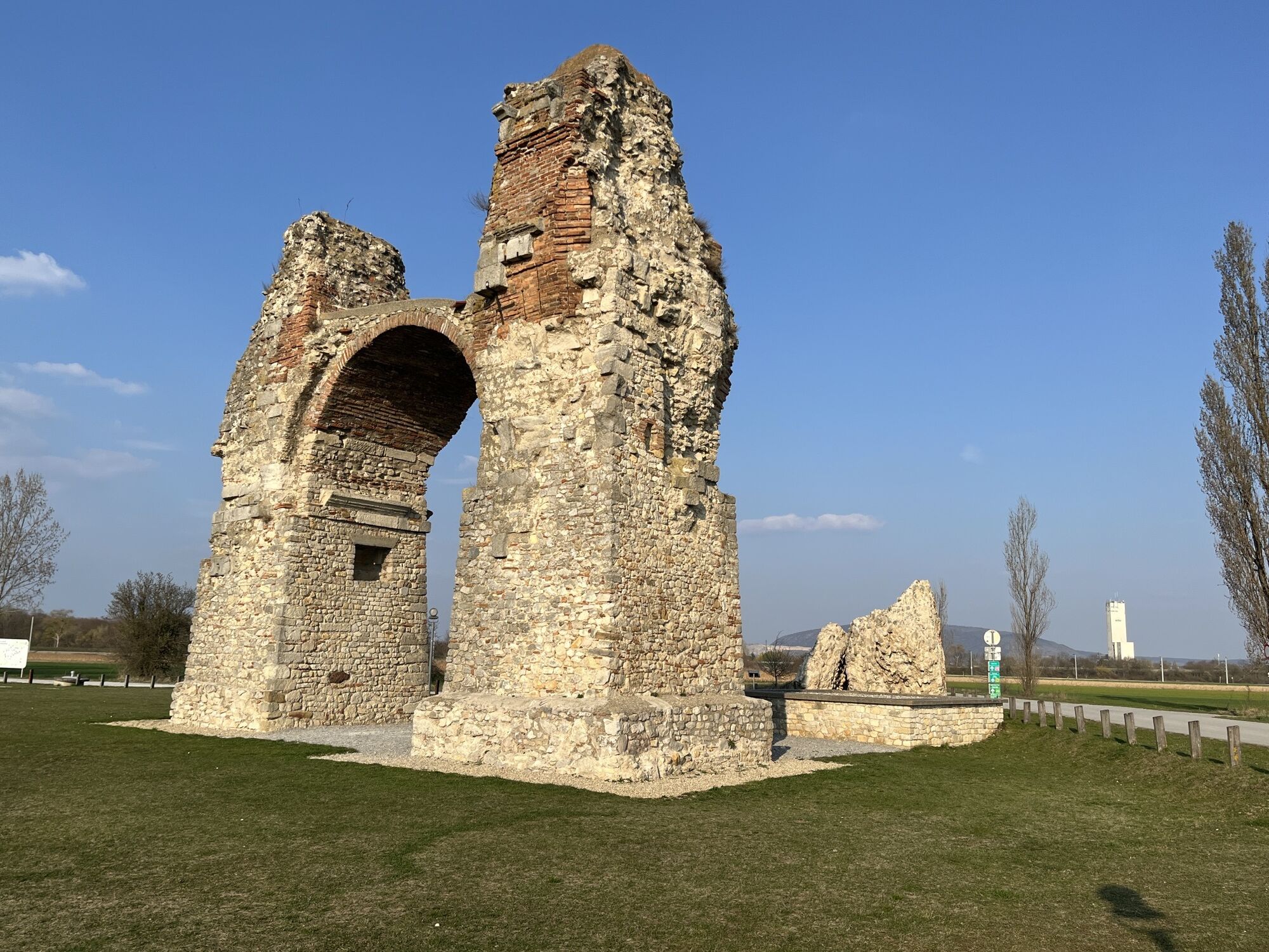
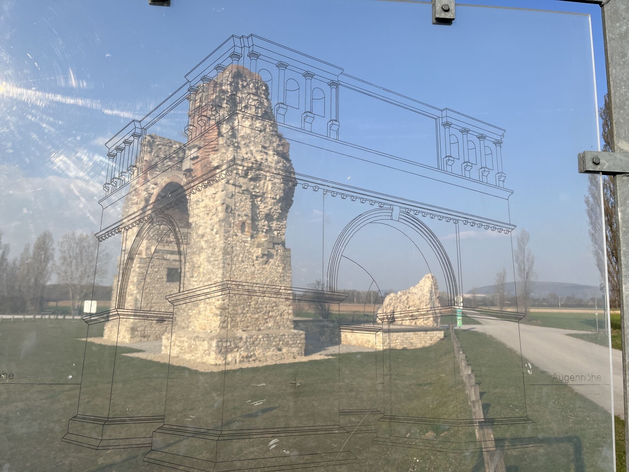
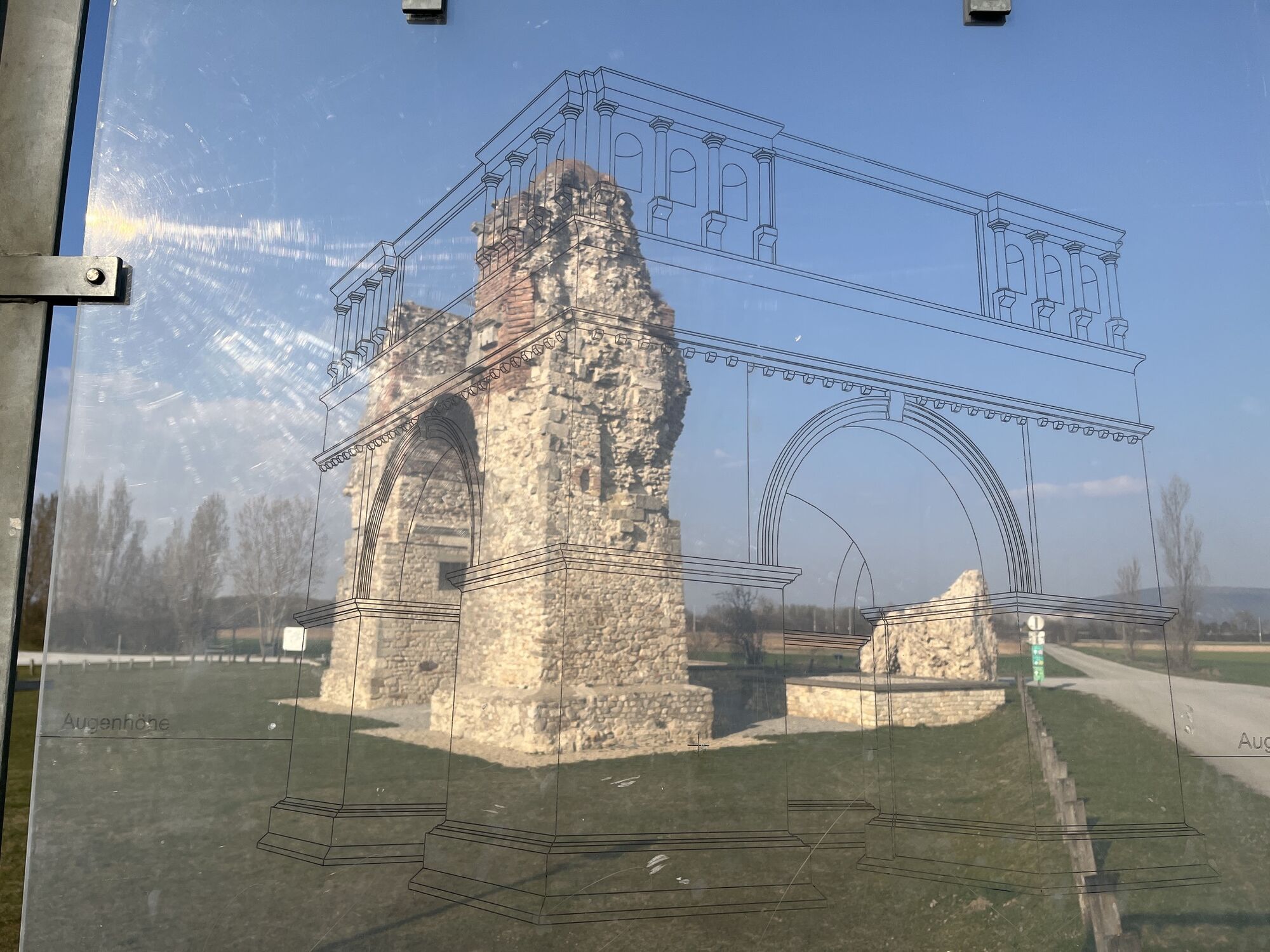
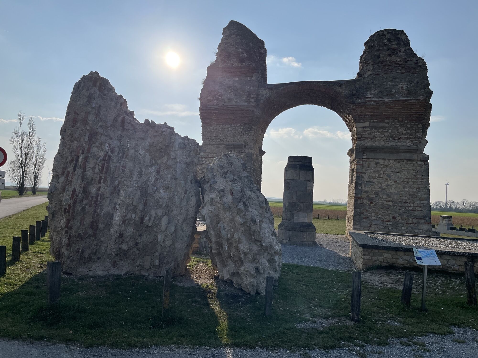
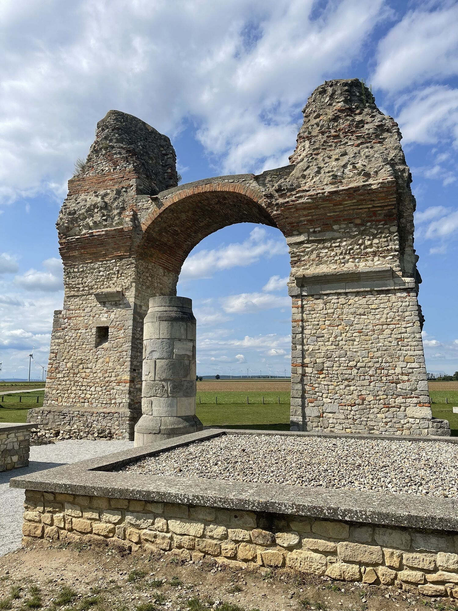
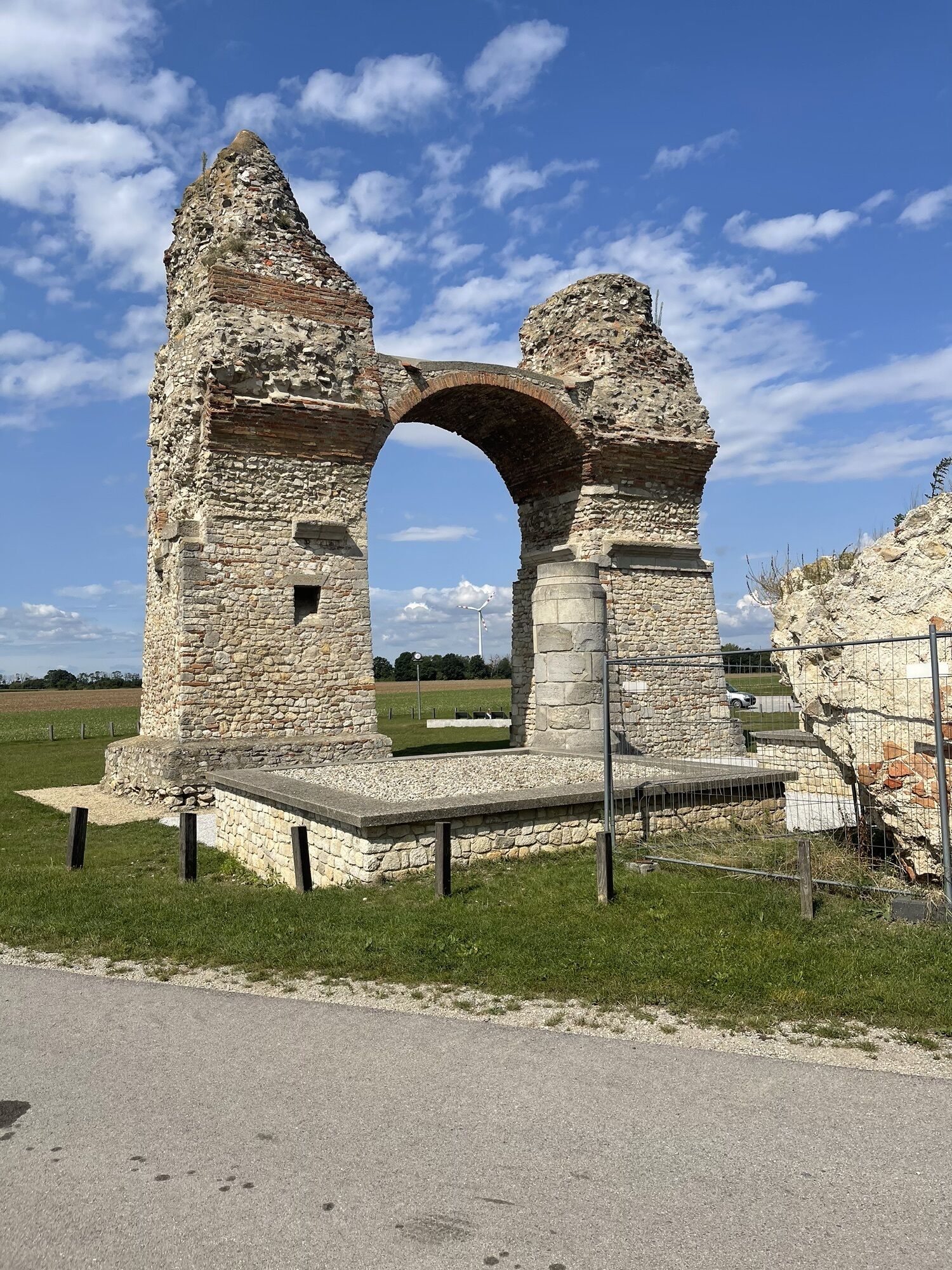
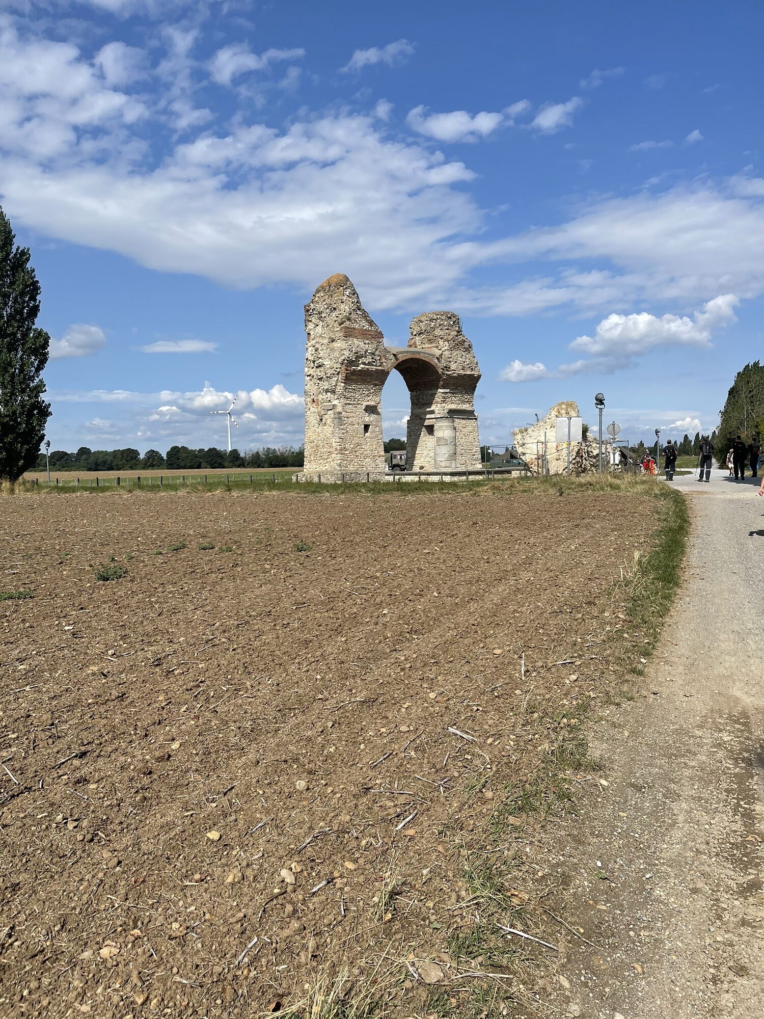
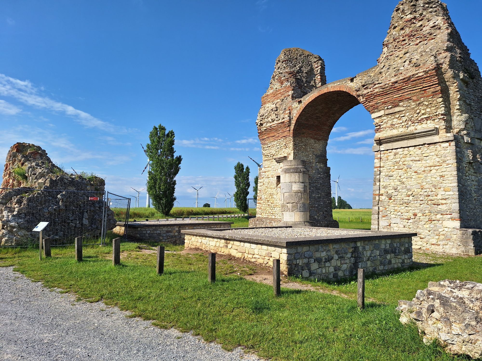
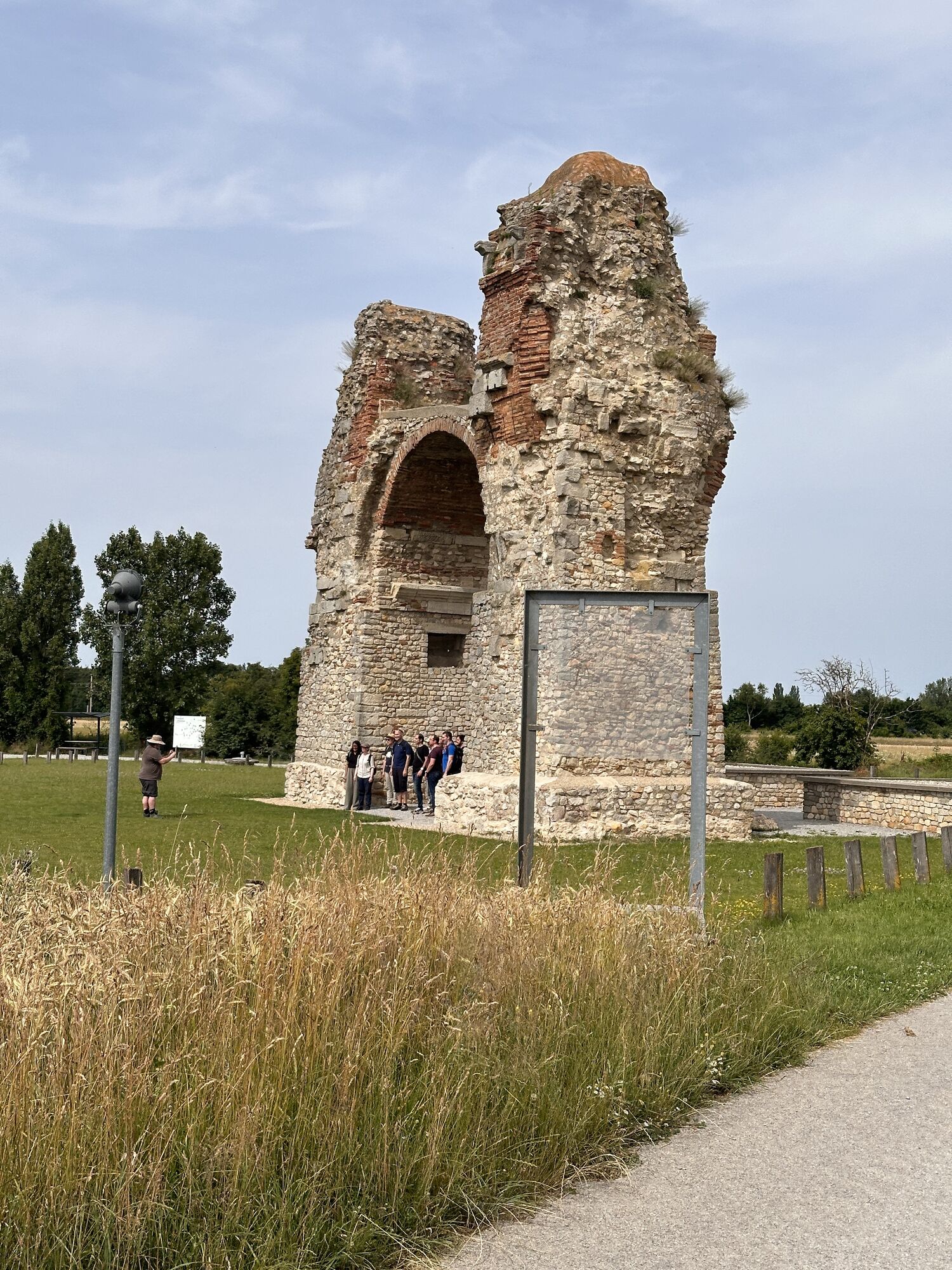
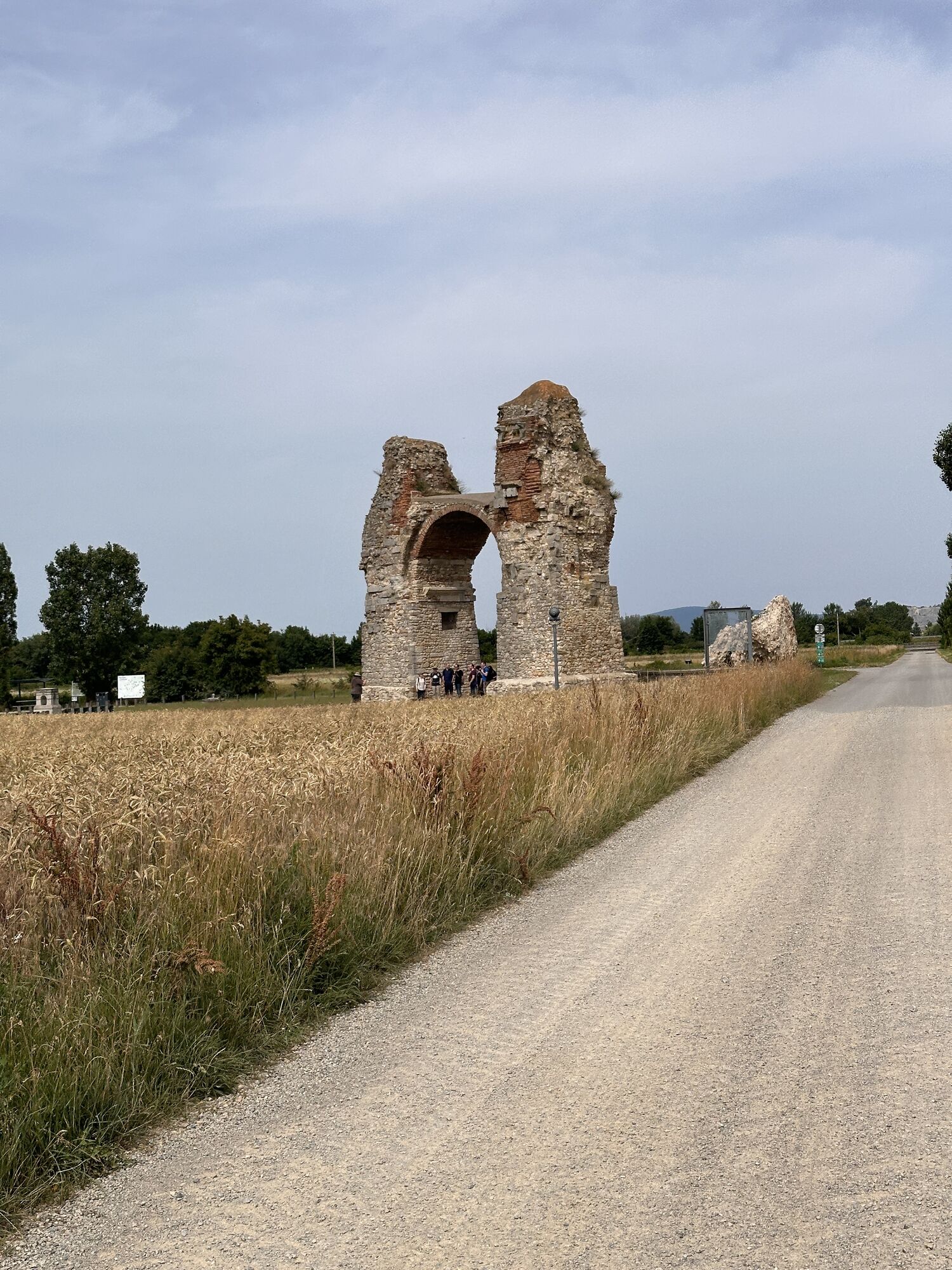
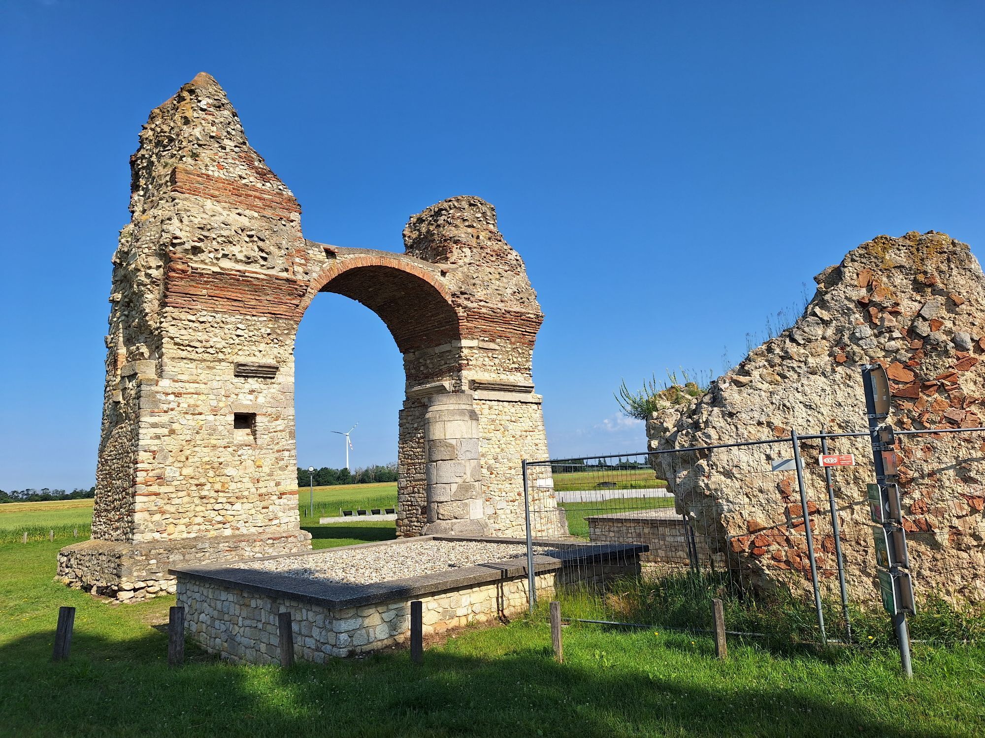
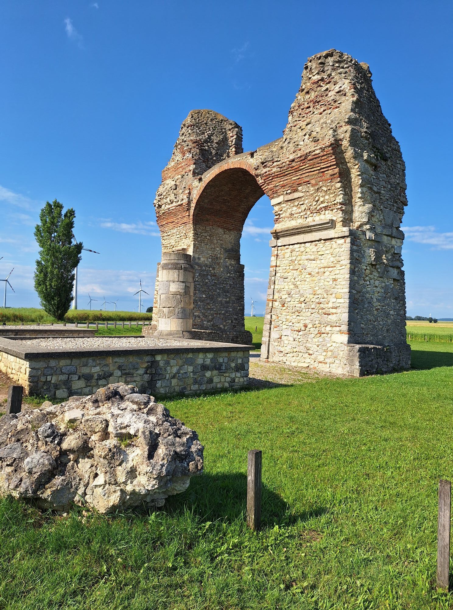
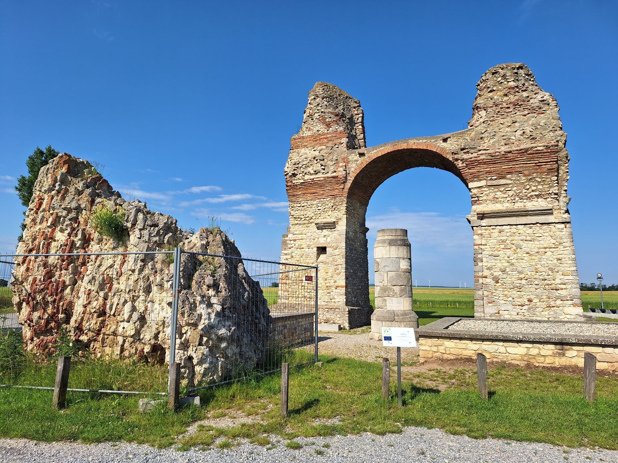
But even after some hiking on the historically influenced trail, you will see a highlight: The Heidentor, a victory monument from the 4th century AD and today one of the best-known monuments on the Pannonian Limes and a symbol of Roman Austria.
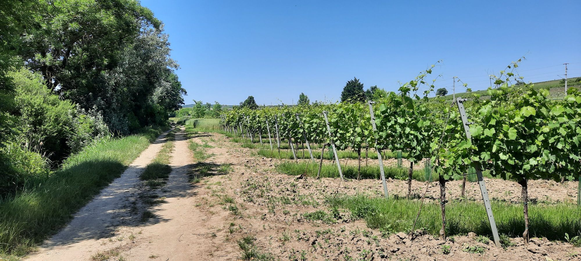
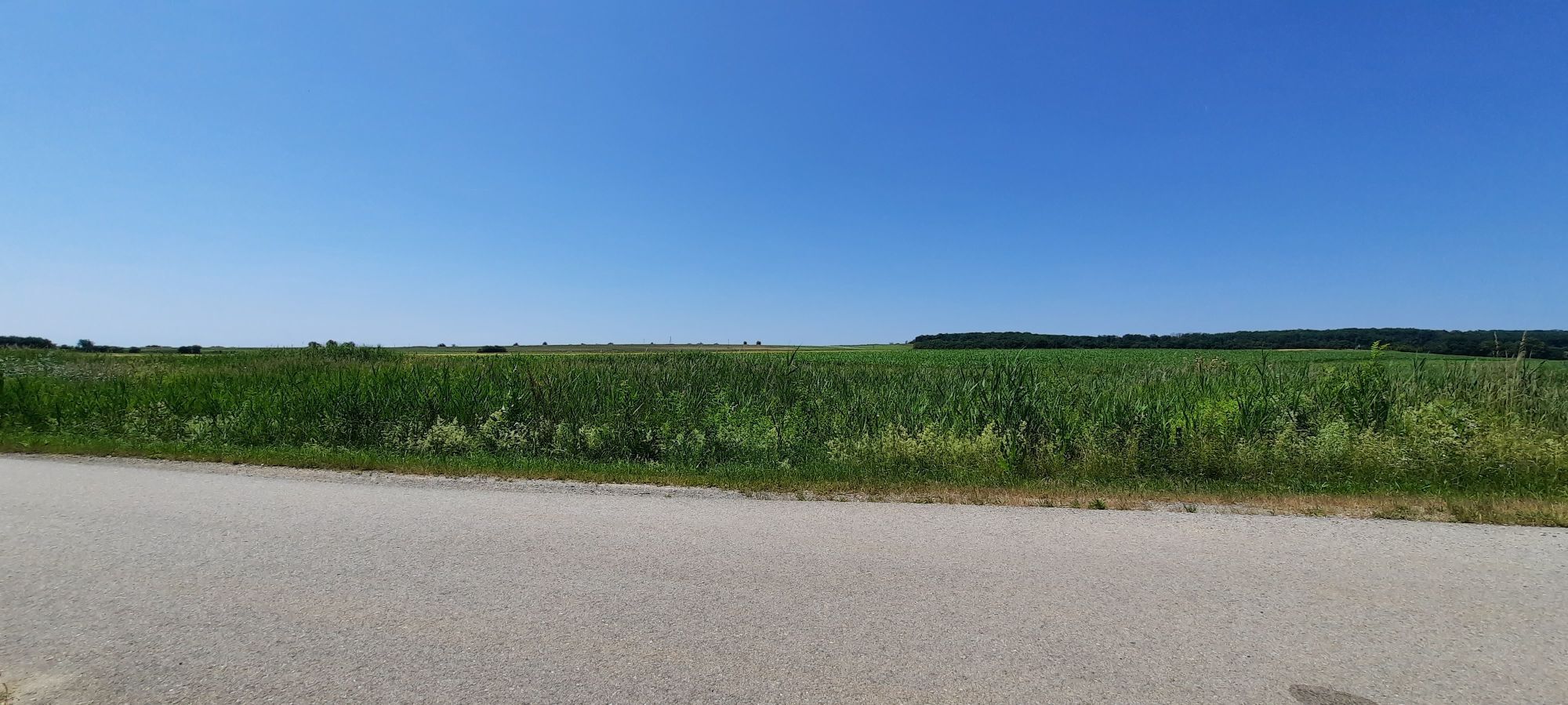
From there, continue through the hamlet of Schaffelhof, along farm and field paths through fields to Rohrau. Then you hike through the Leitha meadows and cross the Leitha and the border from Lower Austria into Burgenland at Pachfurth. Farm roads lead you through fields to the "Roman palace complex," an interesting excavation site from the Roman Empire. Finally, continue to Parndorf and then to Neusiedl am See.

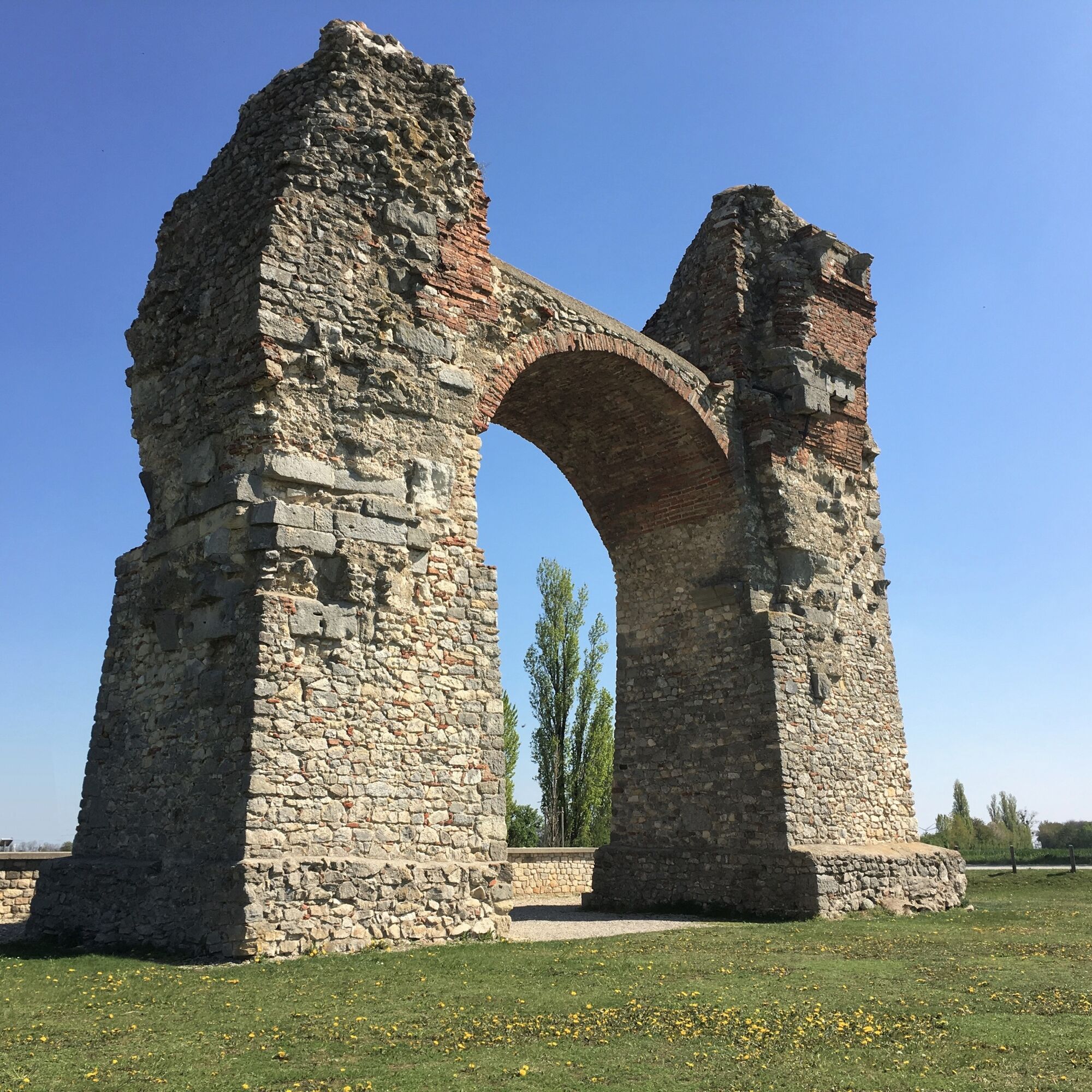
The Bernstein Trail starts at the visitor center of the reconstructed district in Carnuntum. Cross the parking lot diagonally to the start of the marked paths at the southwestern end of the parking lot. Here, do not take the path towards the amphitheater, but head straight south towards the Heidentor. At the next fork, turn right onto a small asphalt road and after a few minutes, you will reach the famous and imposing Heidentor.
Here, follow the gravel path to the left until it ends, then turn left over the railway crossing and the main road to the hamlet of Schaffelhof. 50 m after crossing the road, turn right onto a field path and follow it always according to the signs until you reach a larger asphalt road. Now turn right and after 30 m immediately left onto a natural path running along a faintly outlined flood embankment. Follow this until you reach a small road in Rohrau. Rohrau Castle or Haydn's birthplace in Rohrau make good resting spots at this opportunity.
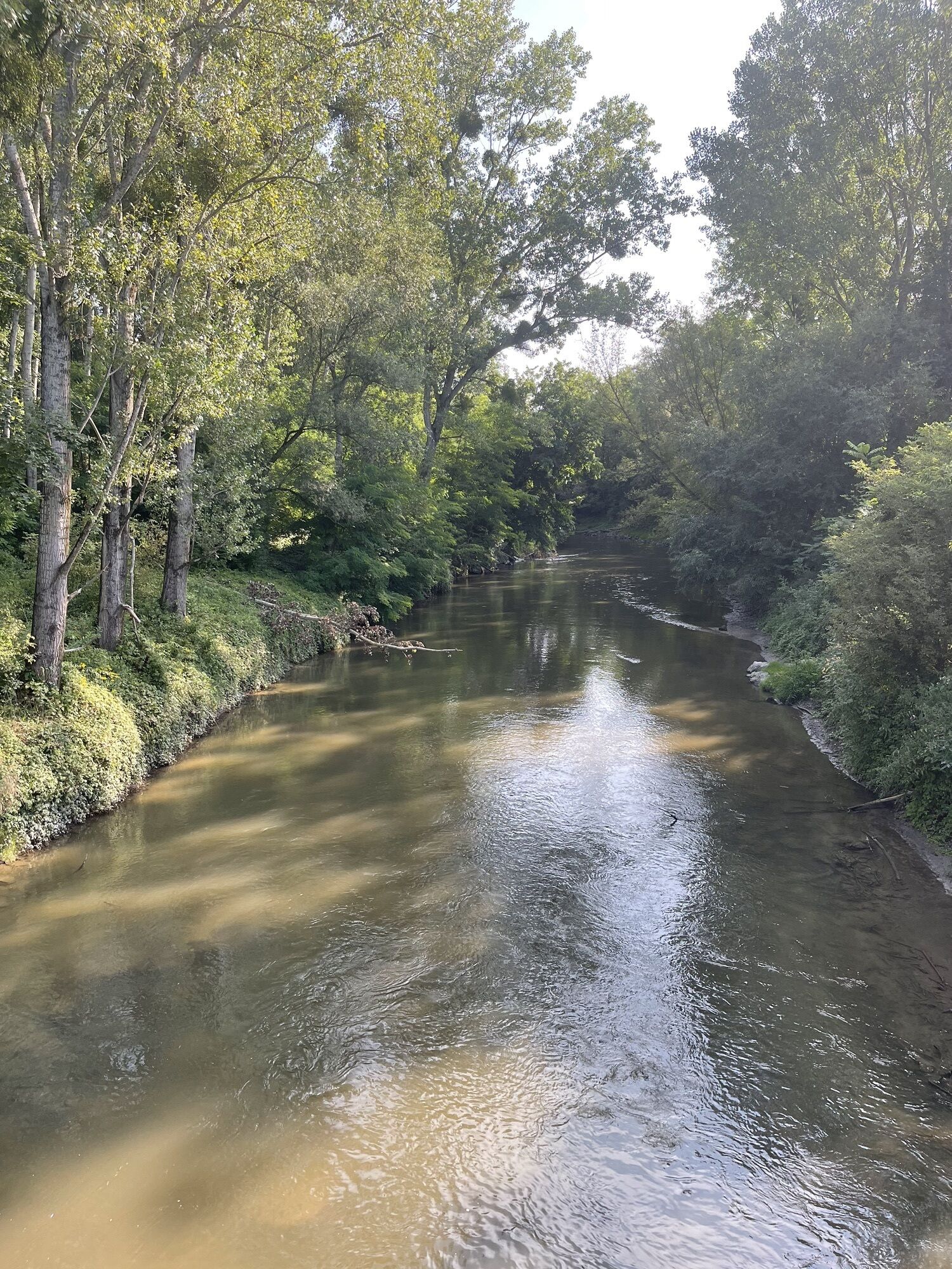
Now cross the road and take the path along a flood embankment, parallel to the Leitha, to a small road at the edge of Pachfurth. There turn left onto the small road, cross the Leitha, and continue along the small road until you cross the highway. About 500 m behind the highway, you will reach a T-junction with farm roads. Turn right here and at the next opportunity immediately right again onto a farm road. Again, after 400 m, turn onto another farm road which leads you—culminating with a left turn—to the "Heidehof." In front of the farm, turn right again and shortly reach the excavation site "Roman Palace," which lies about 100 m off our hiking trail on the right (a definite must-see!). The Bernstein Trail continues straight, before you turn left at the next opportunity. Now a field path leads you through fields with a small left-right loop until the outskirts of Parndorf.
There, turn into the first street to the right ("Feldgasse").
Follow Feldgasse further to the end of the village and then continue to the left along Feldgasse to a larger road. After crossing the road, hike to the railway line. Behind the underpass turn left, and after 100 m, there is a turn to the right onto an asphalted farm road. Parallel to the Parndorf stream and later also parallel to the railway line, follow the small asphalt roads used also as bike paths until you reach the beginning of Neusiedl am See, passing under a motorway and a main road. At the start of Neusiedl, you directly come onto a road leading you into the center. Once there, you have reached your stage destination.
Tak

Popularne wycieczki w okolicy
- 4,7
Eckartsauer Donaurunde
światłoWędrówka 8,96 km - 4,6
Ochsenbründlrunde
światłoWędrówka 8,34 km - 4,8
Hainburg - Hundsheimer Berg - Schlossberg - Braunsberg
światłoWędrówka 13 km - 4,2
Stopfenreuther Au
światłoWędrówka 5,14 km - 3,8
Hainburg Hundsheimer Berg Schlossberg Braunsberg 20190427
światłoWędrówka 9,60 km - 4,0
N21 WeinWeg Gols
ciężkiWędrówka 13,0 km - 4,0
Meadow hiking trail
średniWędrówka 14,3 km - 4,0
N25 wine educational trail
średniWędrówka 8,41 km - 5,0
Hundsheimer Berg - Karpaten
światłoWędrówka 4,75 km - 4,7
Rundwanderung Naturpark Donauauen
światłoWędrówka 12,9 km
Wędrówki i tropienie


Nie przegap ofert i inspiracji na następne wakacje
Twój adres e-mail została dodana do listy mailingowej.