







B321 Wiener Neustadt Connecting Bike Path
Poziom trudności: 1

A diverse blend of city life and nature: The B321 Connecting Bike Trail leads from Wiener Neustadt directly into the charming countryside around the Rosalia and connects the urban starting point with the...
The well-developed route invites you to explore the region at a leisurely pace by bike, enjoying the gently rolling hills, the idyllic surroundings, and the special attractions along the way. The bike path is an ideal starting point for anyone who wants to discover the diverse scenic, cultural, and culinary experiences of the Rosalia region from Wiener Neustadt.
A special treat awaits cyclists in Neudörfl: Numerous cozy wine taverns (Heurigen) along the route offer the perfect opportunity to take a break and enjoy regional specialties and Burgenland hospitality.
The B321 Connecting Bike Trail turns the journey from the city to nature into a relaxing cycling experience and is the ideal complement to the B32 Rosalia Bike Trail.

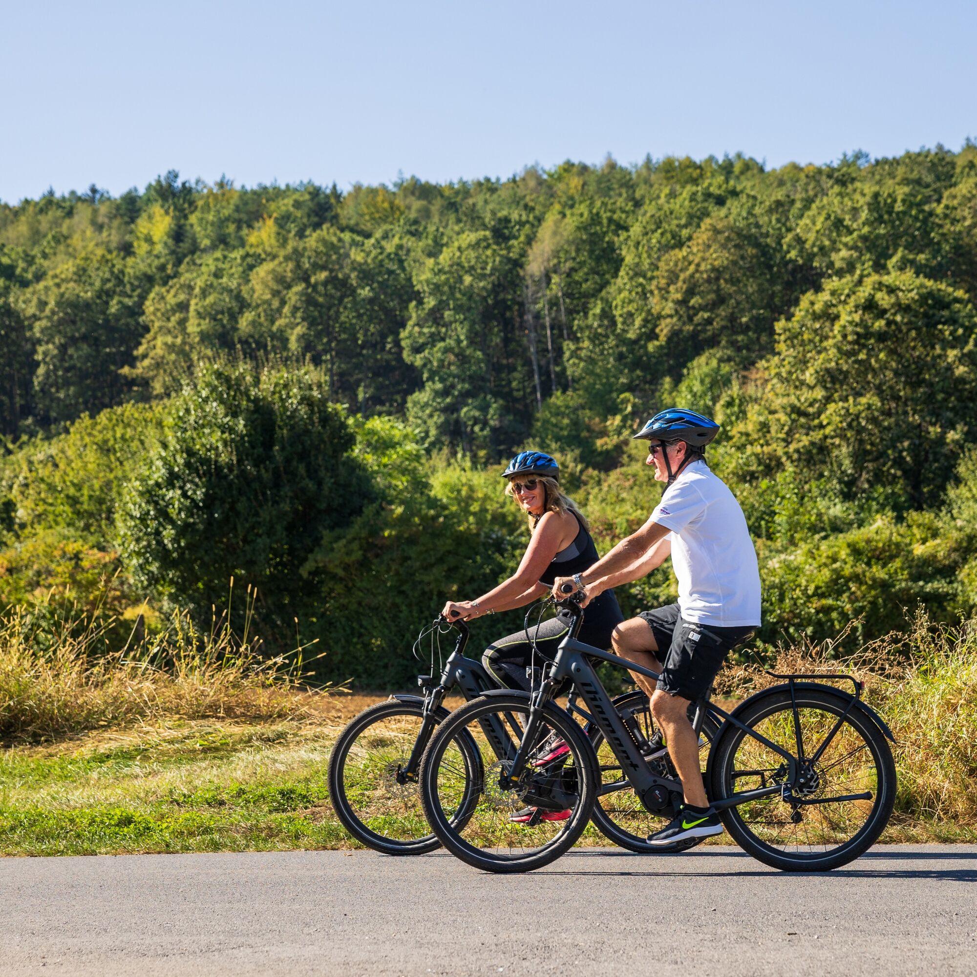
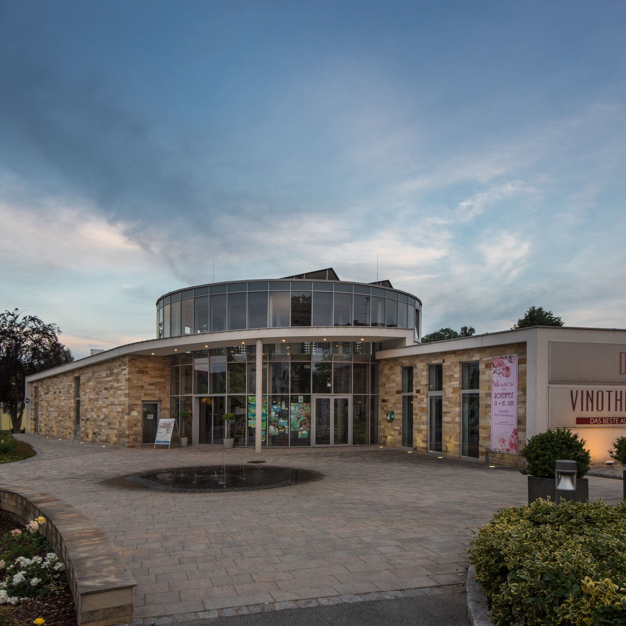
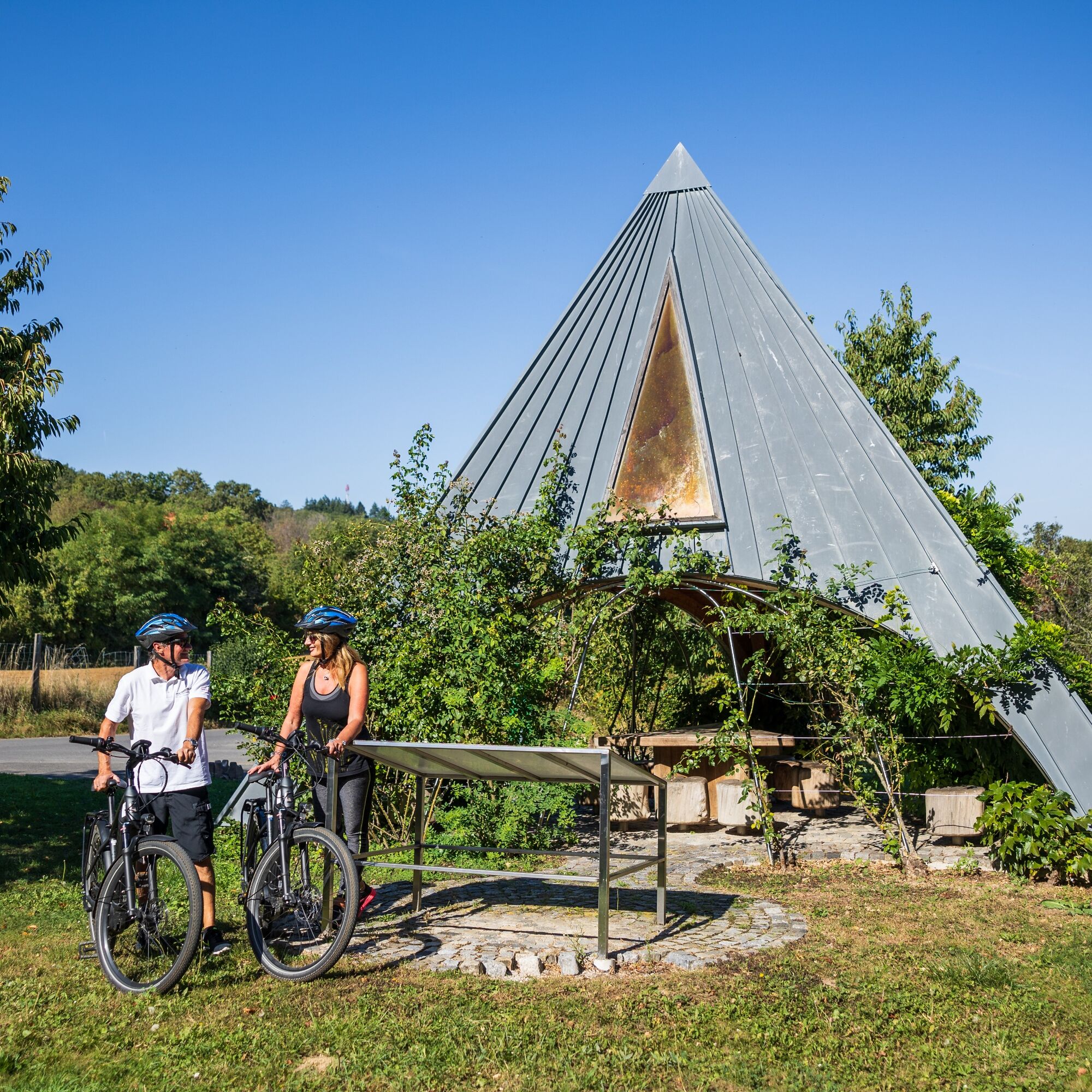
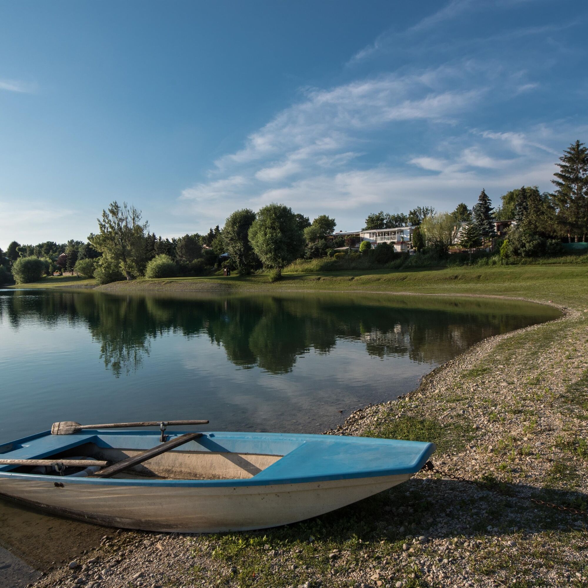
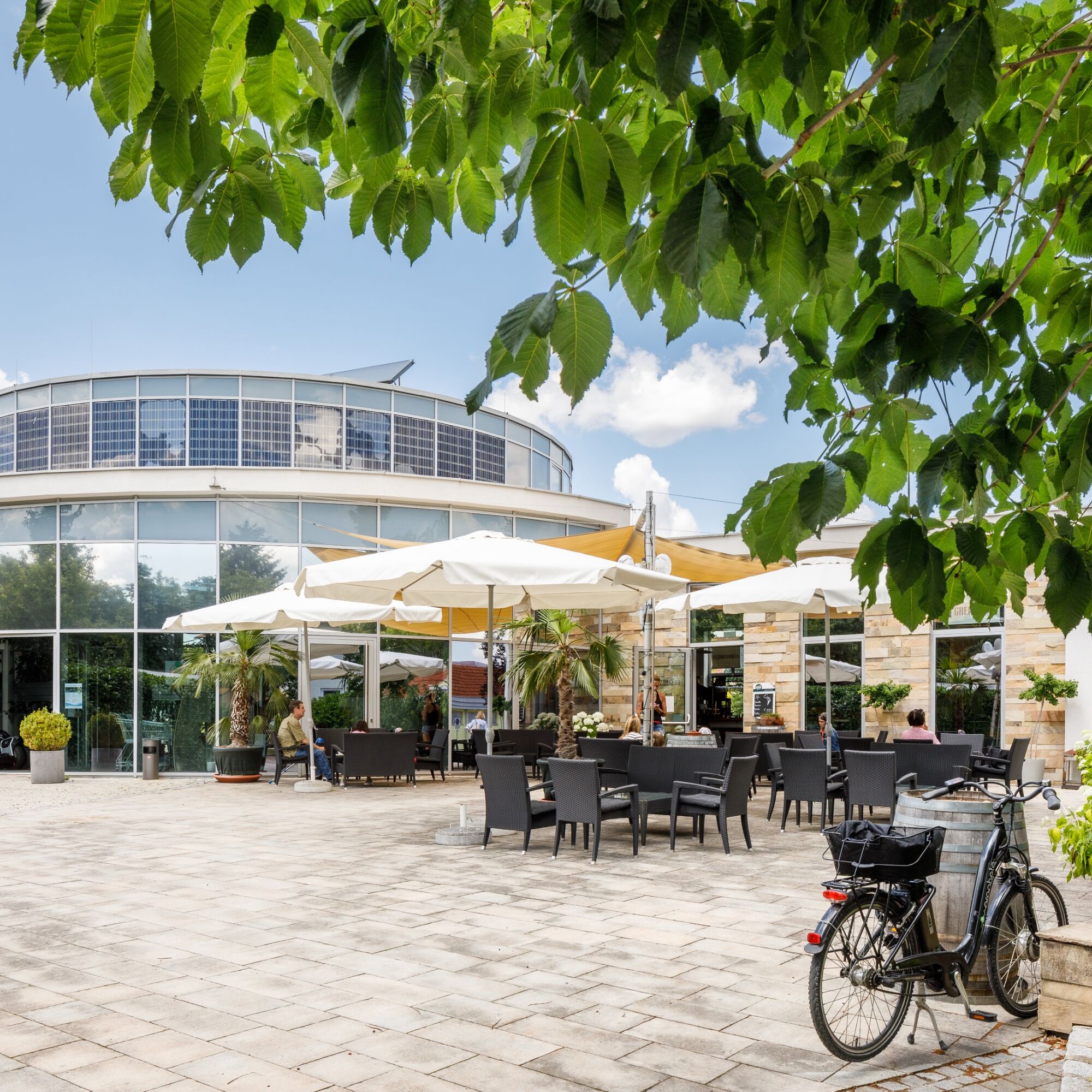

This easy-to-ride route takes you leisurely to Bad Sauerbrunn, where it connects to the B32 Rosalia Bicycle Trail. From here, you’ll find even more opportunities to explore the region—with its scenic, cultural, and culinary highlights—on two wheels.
Tak
A bike helmet, athletic clothing, rain and sun protection, and a bottle of drinking water should always be with you.
In Austria, children up to age 12 are required to wear a bicycle helmet. High-visibility vests are not mandatory at dusk, in the dark, or in poor visibility, but they are certainly beneficial. Click here for the Austrian Bicycle Regulations.
the
A1, A2, A3, or A4).Or via Federal Highway B50.
The region is also well connected by bus.
The following route planners will help you plan your trip:
Verkehrsbetriebe Burgenland: www.verkehrsbetriebe-burgenland.at/fahrplan-verbindungen
ÖBB: www.oebb.at or the ÖBB Scotty app
Verkehrsverbund Ostregion: www.vor.at or the VOR app
in the parking areas at the starting point
1
Uzyskaj wgląd Zawsze na żywo z ponad 9 500 kamer internetowych. bergfex Jako użytkownik Pro, możesz teraz zobaczyć odpowiednie kamery internetowe dla wielu wycieczek w aplikacji wycieczki od. Pozwala to na bezpośredni podgląd aktualnych warunków. Popularne wycieczki w okolicy
- 4,5
B32 Rosalia Bicycle Trail
średniJazda na rowerze 58,8 km - 4,2
Bergkraxler Klettersteig
średniVia ferrata 3,35 km - 4,7
Naturlehrpfad Katzelsdorf
światłoWędrówka 3,81 km - 4,5
To the Wiesen/Lanzenkirchen observation tower from the Rosalia
światłoWędrówka 4,25 km - 3,8
Größenberg und Eisensteinhöhle - Angelos Touren
światłoWędrówka 9,83 km - 4,7
Hubertuskapelle Piesting - Höhlturmrunde
światłoWędrówka 6,39 km - 4,6
Gespitzter Riegel - Bad Sauerbrunn
światłoWędrówka 8,85 km - 4,6
Forchtenstein-Rosalienkapelle
światłoWędrówka 7,86 km - 4,0
Rosalia: Lanzenkirchen - Aussichtsturm
światłoWędrówka 11,1 km - 4,6
M32 On the Gspitzter Riegel from Bad Sauerbrunn
średniWędrówka 8,73 km
Wędrówki i tropienie


Nie przegap ofert i inspiracji na następne wakacje
Twój adres e-mail została dodana do listy mailingowej.





