






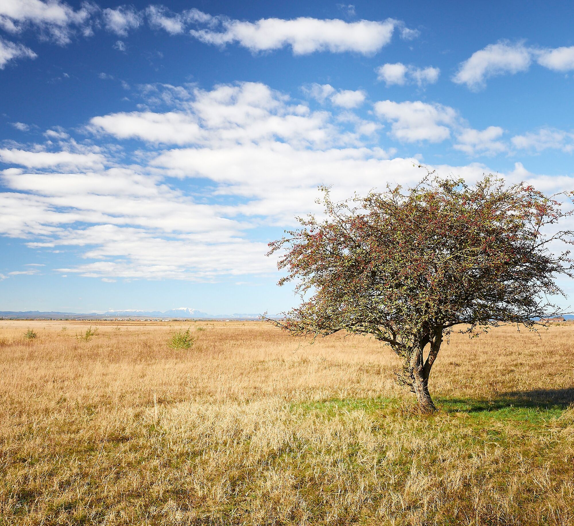
3 Wiesenweg Sprint (Neusiedler See - Seewinkel running park)


Surface: asphalt
Details for arrival can be found here: Calculate route
Arrival by train:
Lake Neusiedl is easily and comfortably accessible by train. Whether you come from Switzerland, Germany, the west or south of Austria: you can comfortably change trains at Vienna main station. The ÖBB regional trains will take you in just under 40 minutes to Neusiedl am See station, where coordinated bus and train connections are offered towards Pamhagen / FertÅszentmiklós or Eisenstadt and Sopron. Most trains allow bicycles on board: on the Railjet and EC/IC as well as Nightjets, a reservation for your bike is absolutely required. Regional trains will carry your bike without reservation, subject to availability of bike spaces.
The Burgenland App also informs you on the go about routes, course and altitude meters.
With the Burgenland Card: Unlimited holiday fun & offers as far as the eye can see!! All info here: Burgenland Card
Uzyskaj wgląd
Zawsze na żywo z ponad 9 500 kamer internetowych. bergfex Jako użytkownik Pro, możesz teraz zobaczyć odpowiednie kamery internetowe dla wielu wycieczek w aplikacji wycieczki od. Pozwala to na bezpośredni podgląd aktualnych warunków.
Popularne wycieczki w okolicy
-
4,6
Lackenradweg
światłoJazda na rowerze 49,8 km -
4,0
Neusiedler See cycle path with lake crossing
ciężkiJazda na rowerze 75,4 km -
4,6
N23 Sodalackenweg
średniWędrówka 8,22 km -
3,8
Lange Lacke, Burgenland
światłoWędrówka 8,68 km -
4,7
24 Long Lacke Run (Lake Neusiedl - Seewinkel Running Park)
światłoBieganie 7,95 km -
3,8
Neusiedlersee Podersdorf Süd
światłoJazda na rowerze 34,8 km -
4,0
N21 WeinWeg Gols
ciężkiWędrówka 13,0 km -
4,0
Meadow hiking trail
średniWędrówka 14,3 km -
3,7
Explorer route - Color play upper Stinkersee
światłoWędrówka 5,71 km -
4,0
Hansag Cycle Path
światłoJazda na rowerze 52,6 km
Wędrówki i tropienie


Nie przegap ofert i inspiracji na następne wakacje
Twój adres e-mail została dodana do listy mailingowej.





