




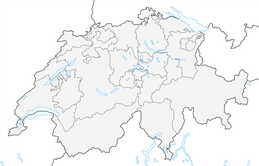


Belpberg - Chutzen - hike

From Belp train station, follow the hiking trail west through the village. Soon you leave the last houses behind and reach the steep forest path after the Breiten farm. Hidden on a rock spur in the forest...
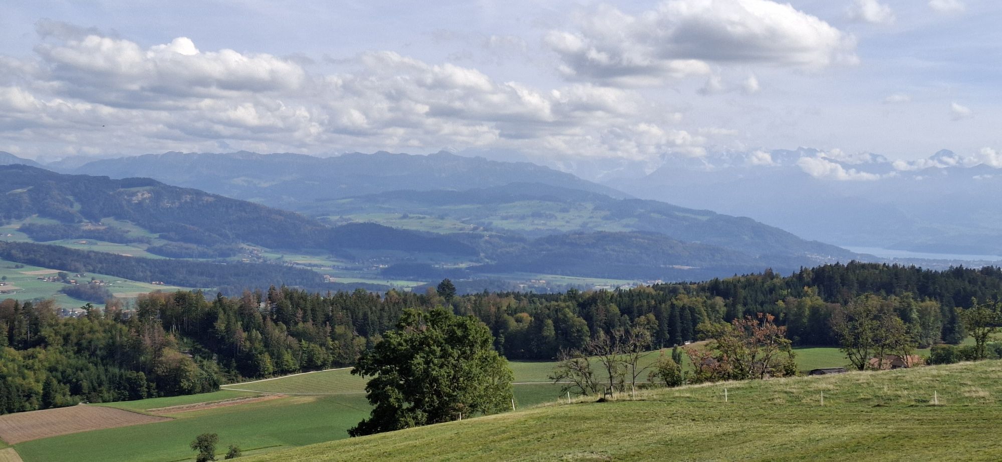
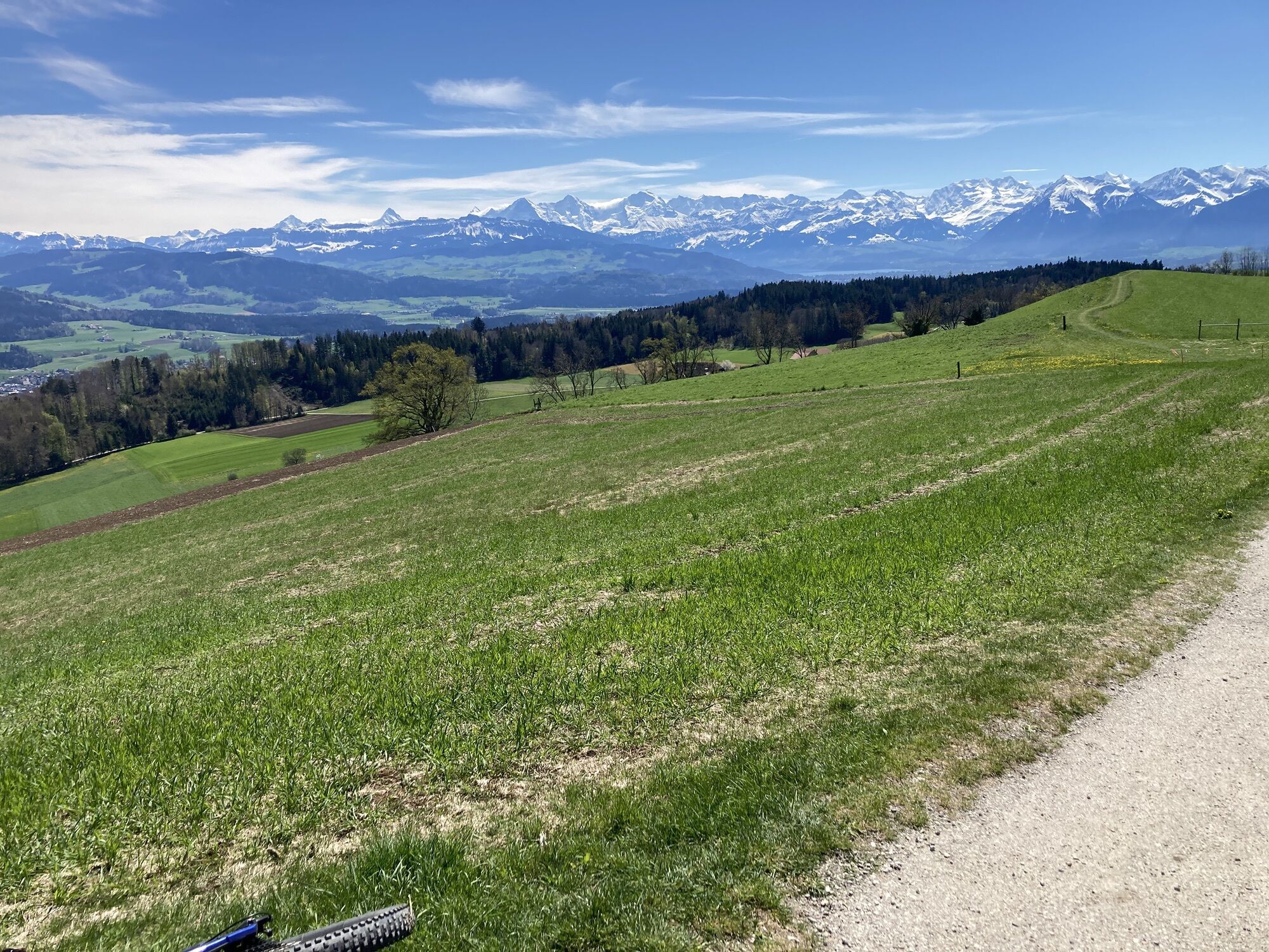
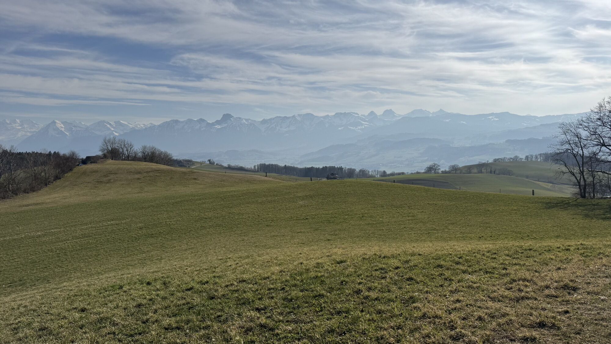
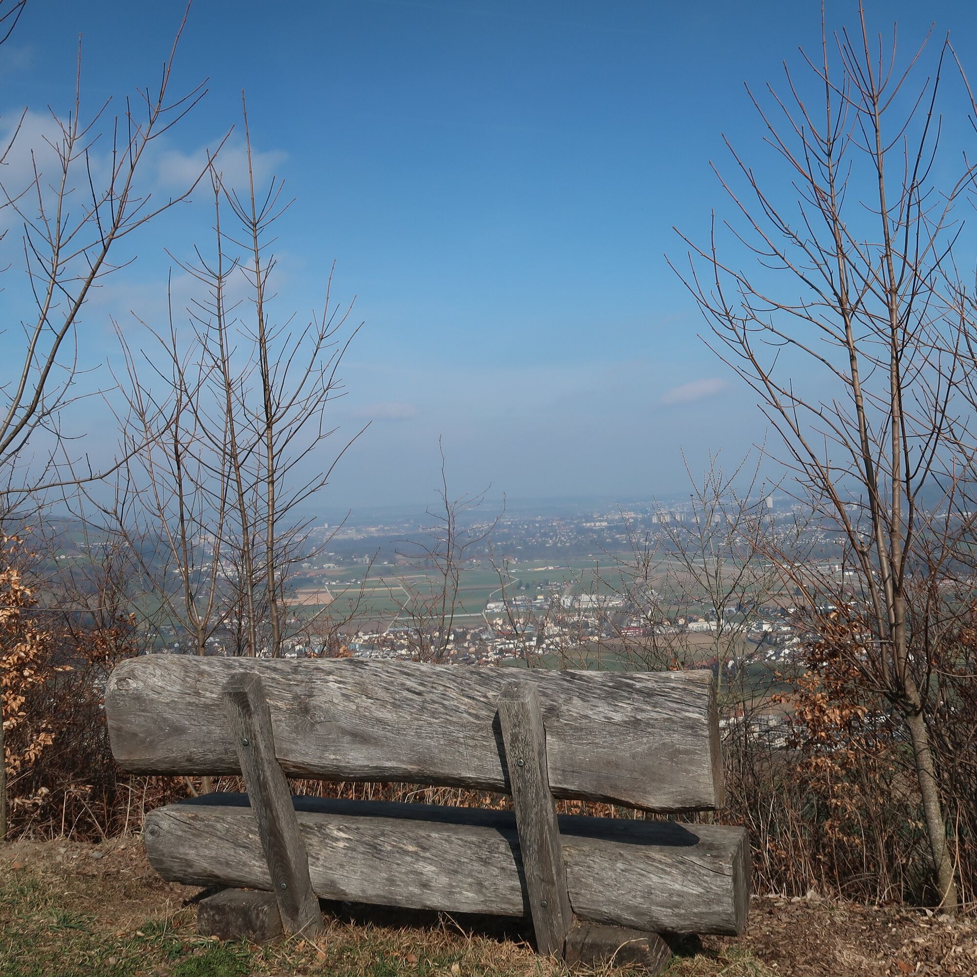
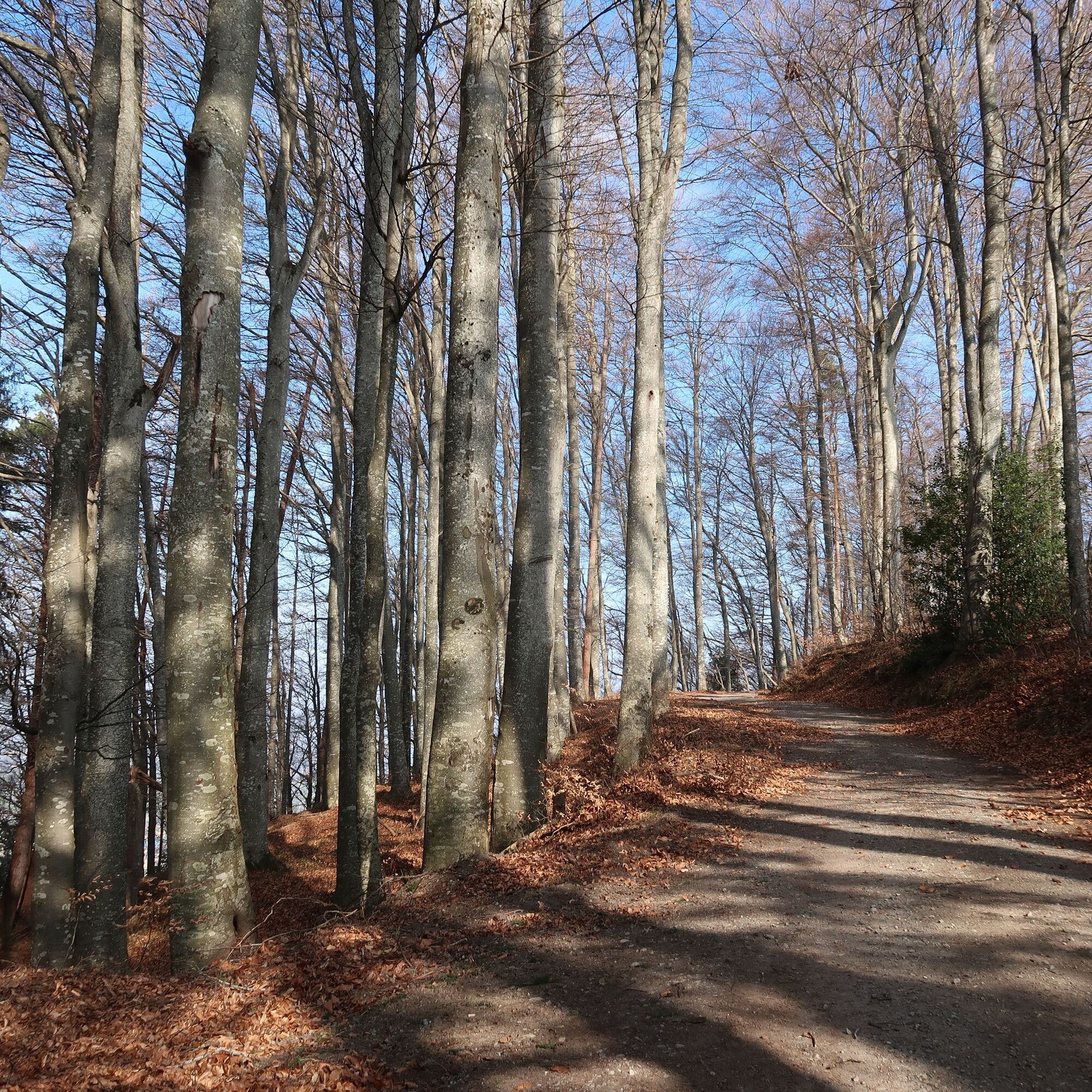
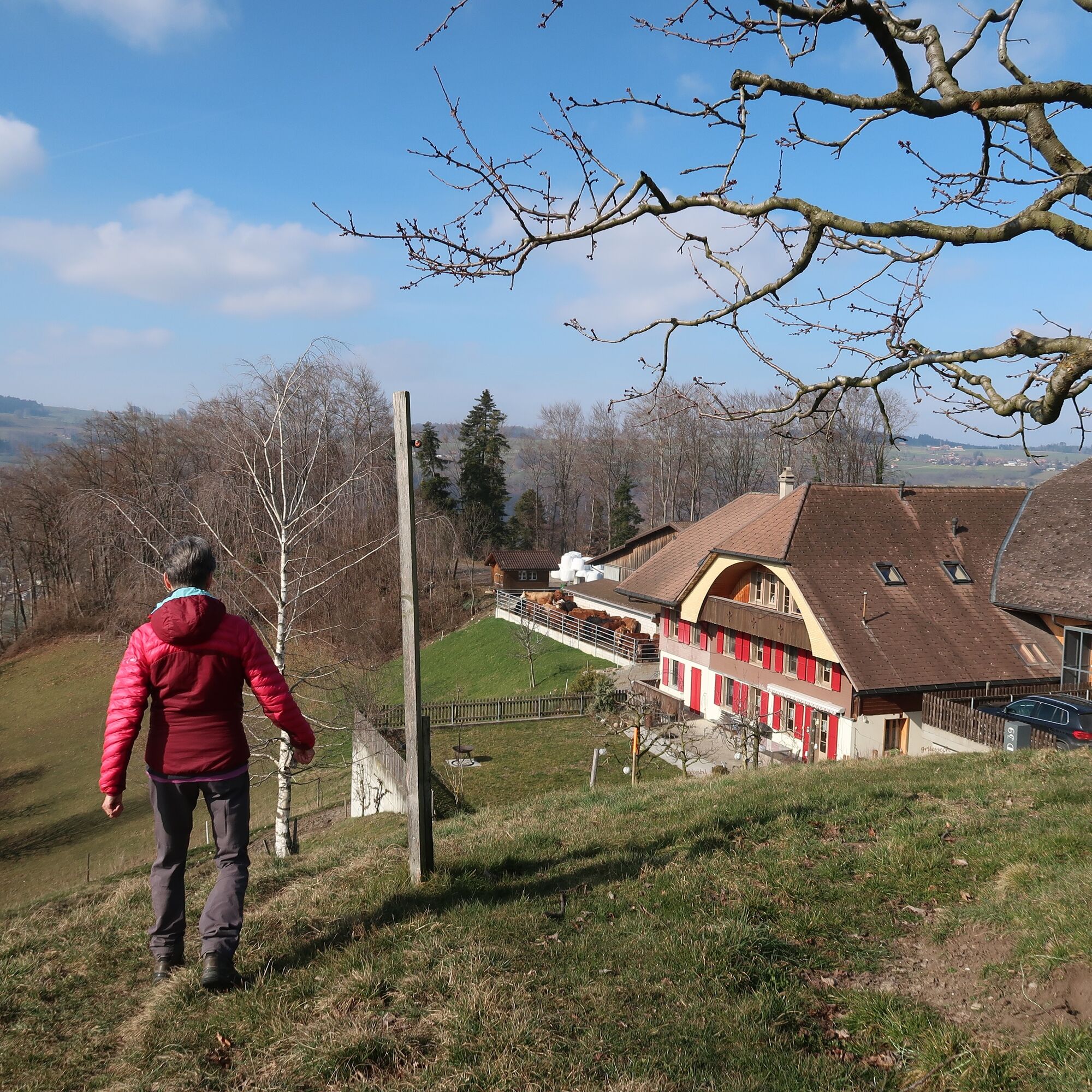
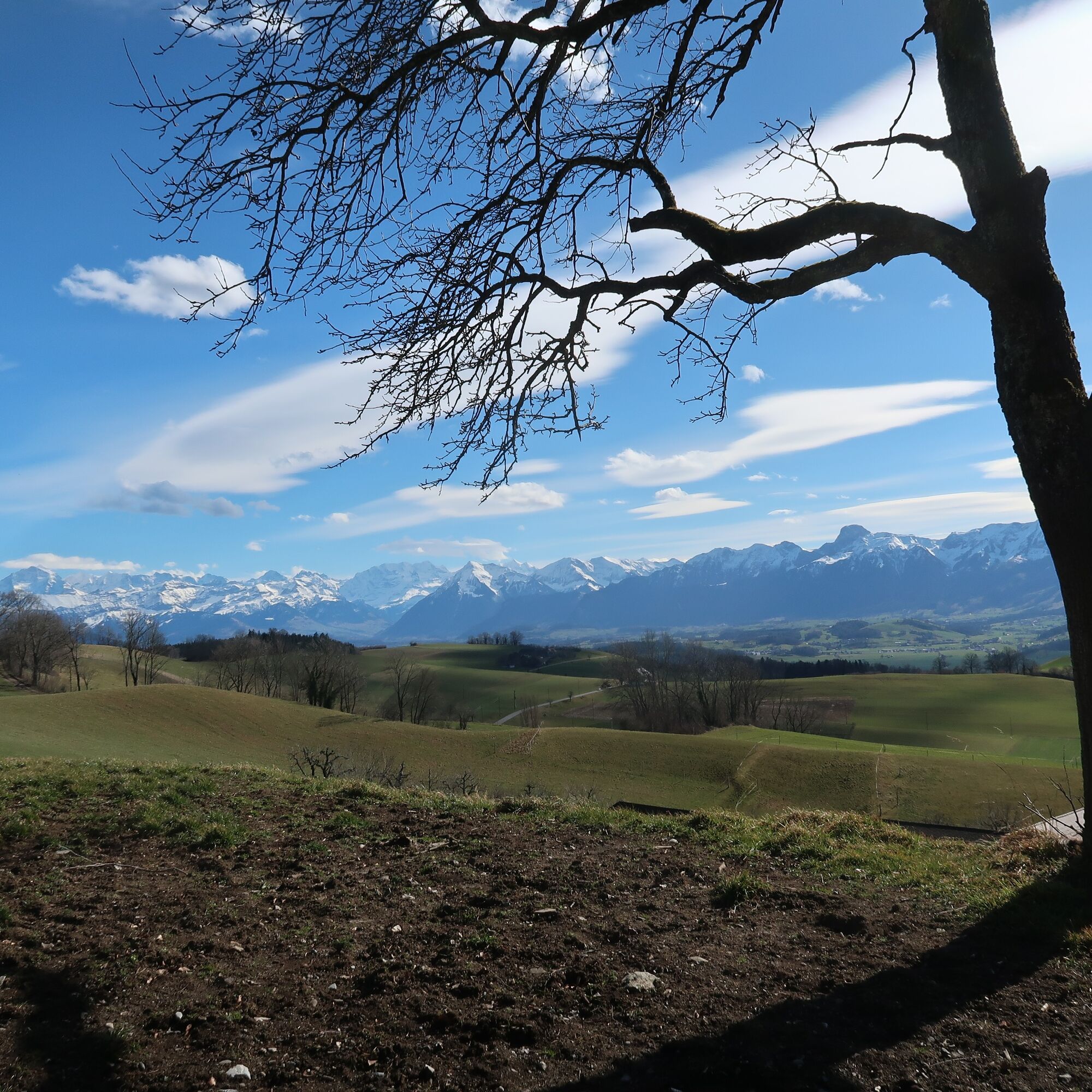
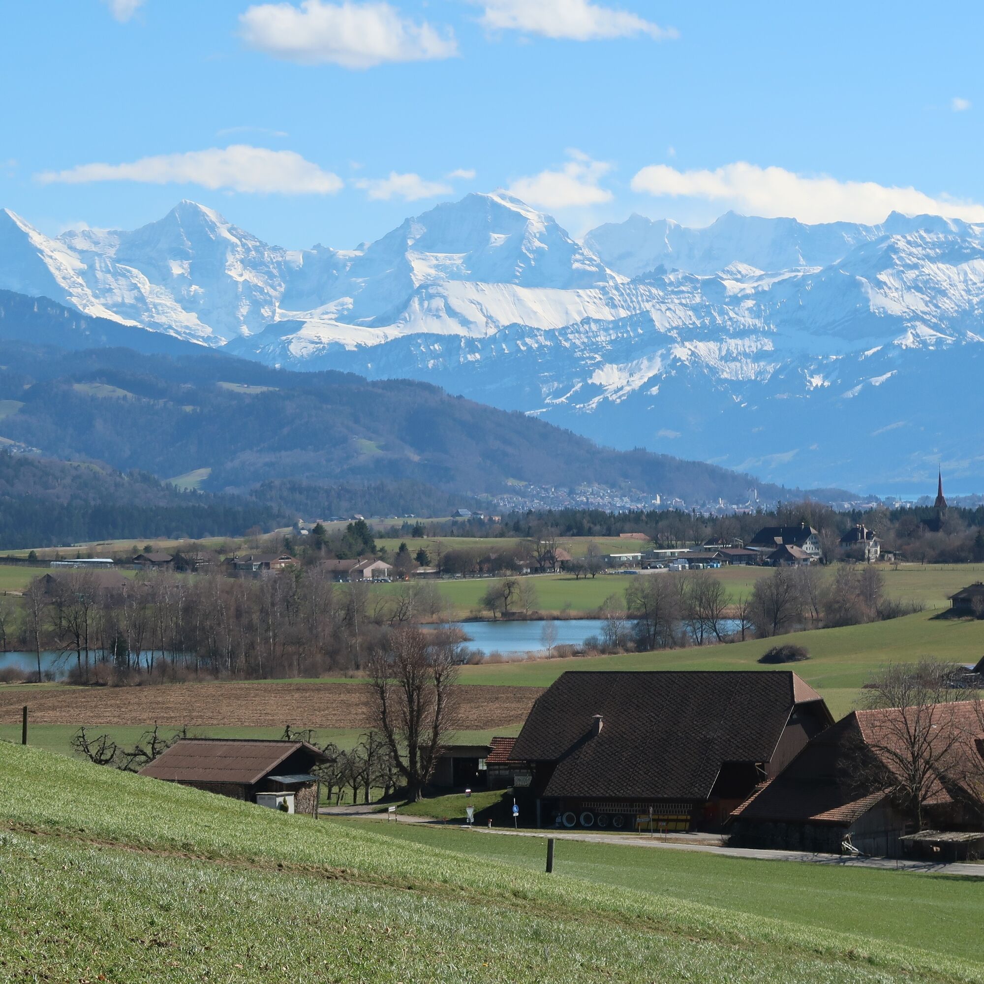
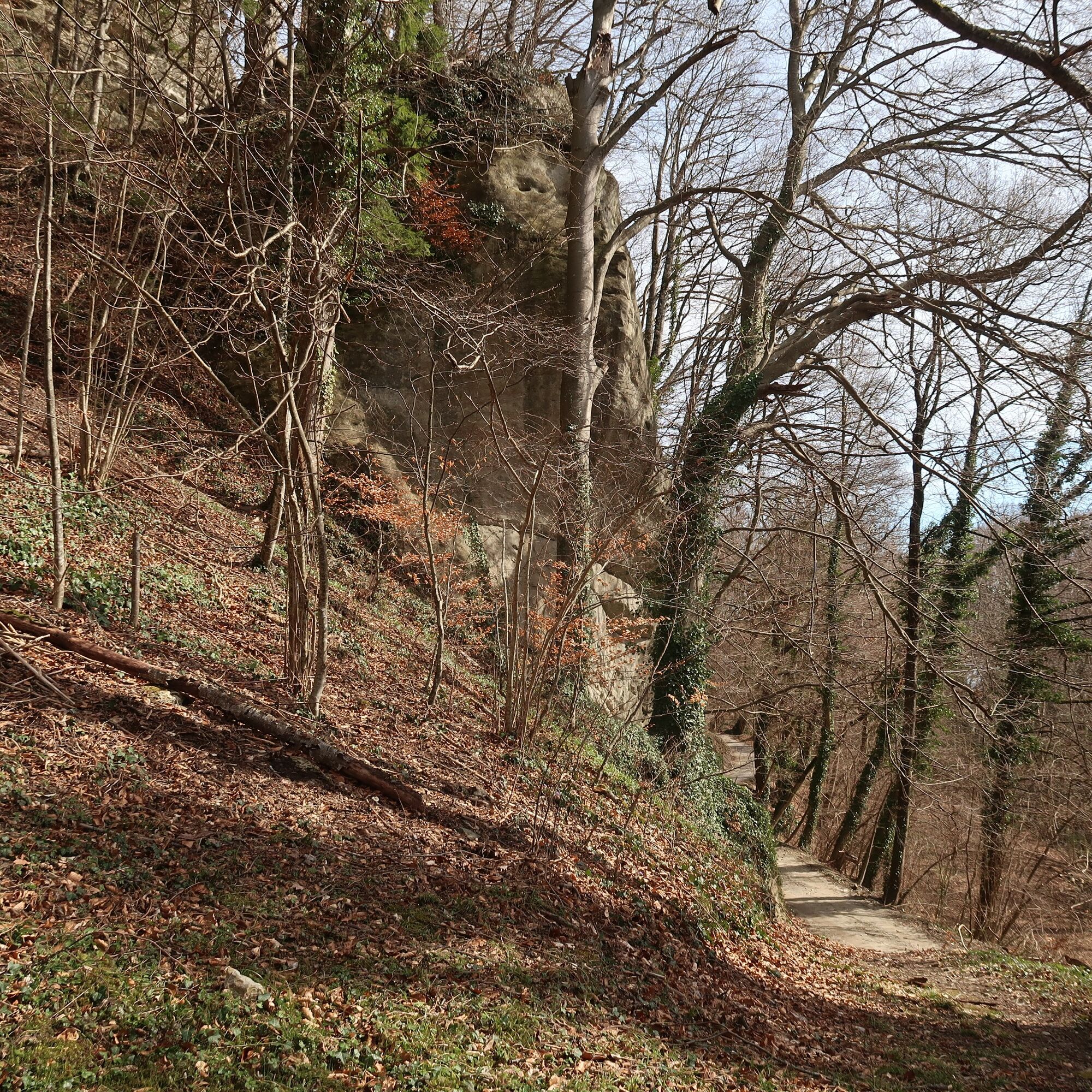
From Belp train station, follow the hiking trail west through the village. Soon you leave the last houses behind and reach the steep forest path after the Breiten farm. Hidden on a rock spur in the forest lies the Hohburg castle ruins. Some wall remains of the 12th-century castle are still visible today. After its destruction in 1298, it was not rebuilt by the Freiherren of Belp. Via a steep stairway, you reach the wide field path, which you now follow from the hamlet of Hohburg through the Gummeholz to the Wald farm. The view opens towards Gurten, Belp, and Bern. Along the ridge, then through the forest, a narrow path leads to the Chutzen viewpoint. In old Bern, it was one of a total of 156 watchtowers where the triangular wooden scaffolds stocked with firewood were lit to pass on danger signals. A great panoramic view, explained by a panorama board, opens from the rest area at the highest point: to the south the snow-covered mountains of the Bernese Oberland, to the southwest the Gantrisch range, a 360-degree view over the Inner Swiss mountains to Pilatus, over the Emmental, to the Jura, and the Fribourg Alps.
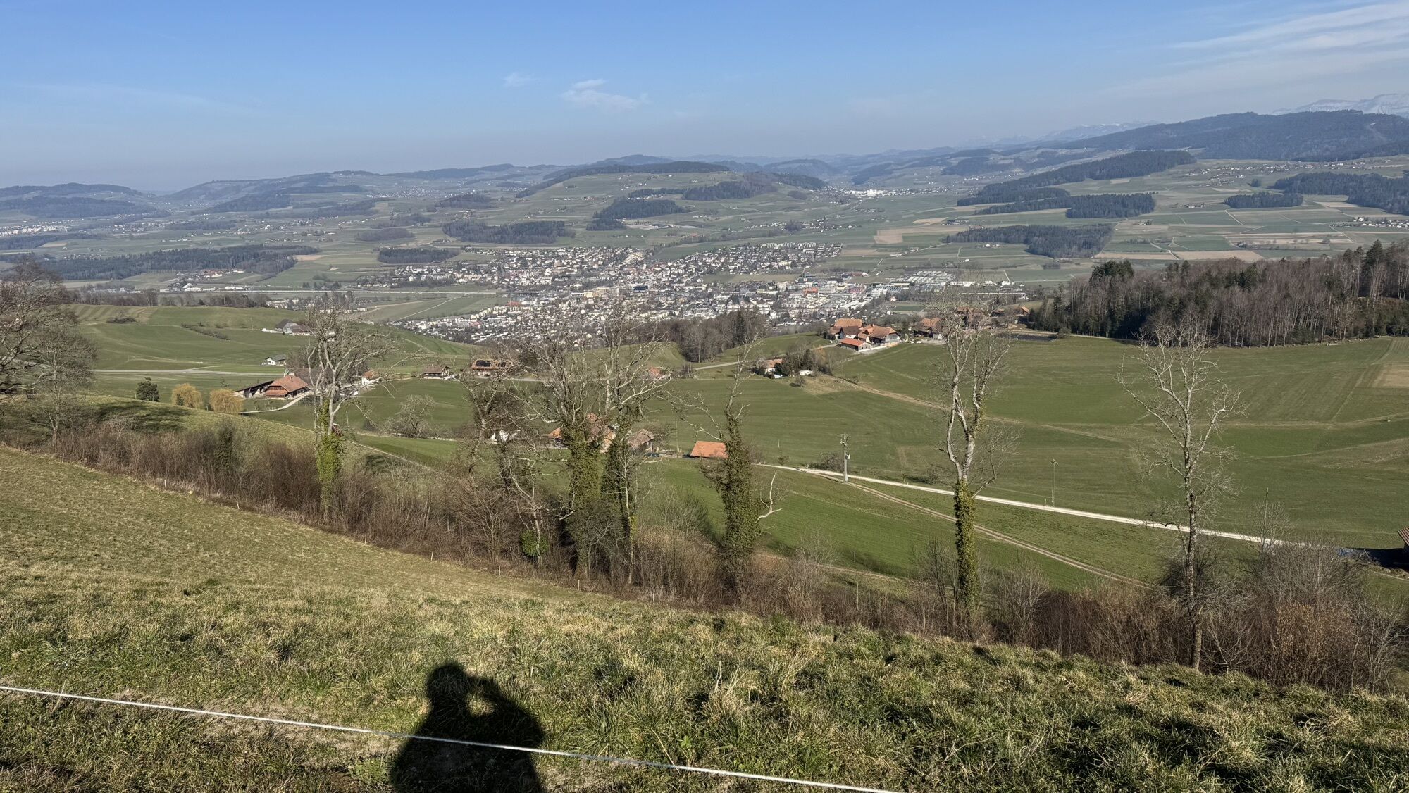
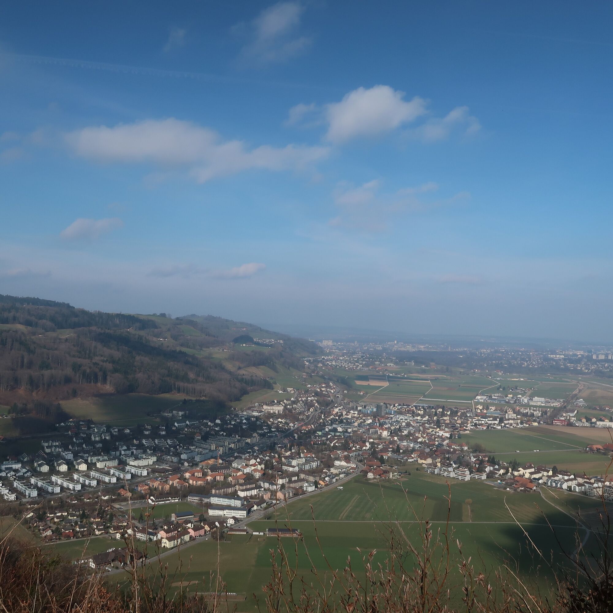
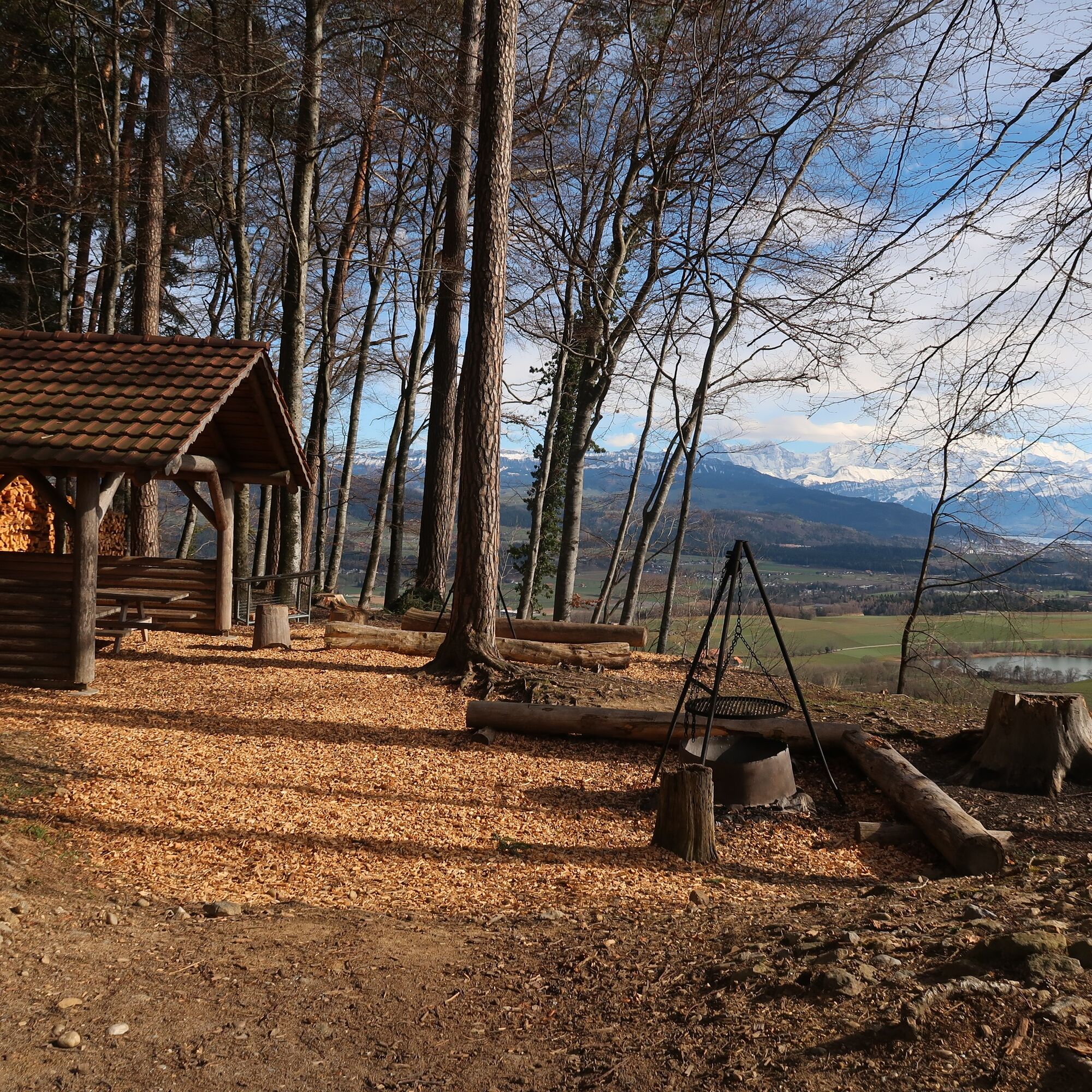
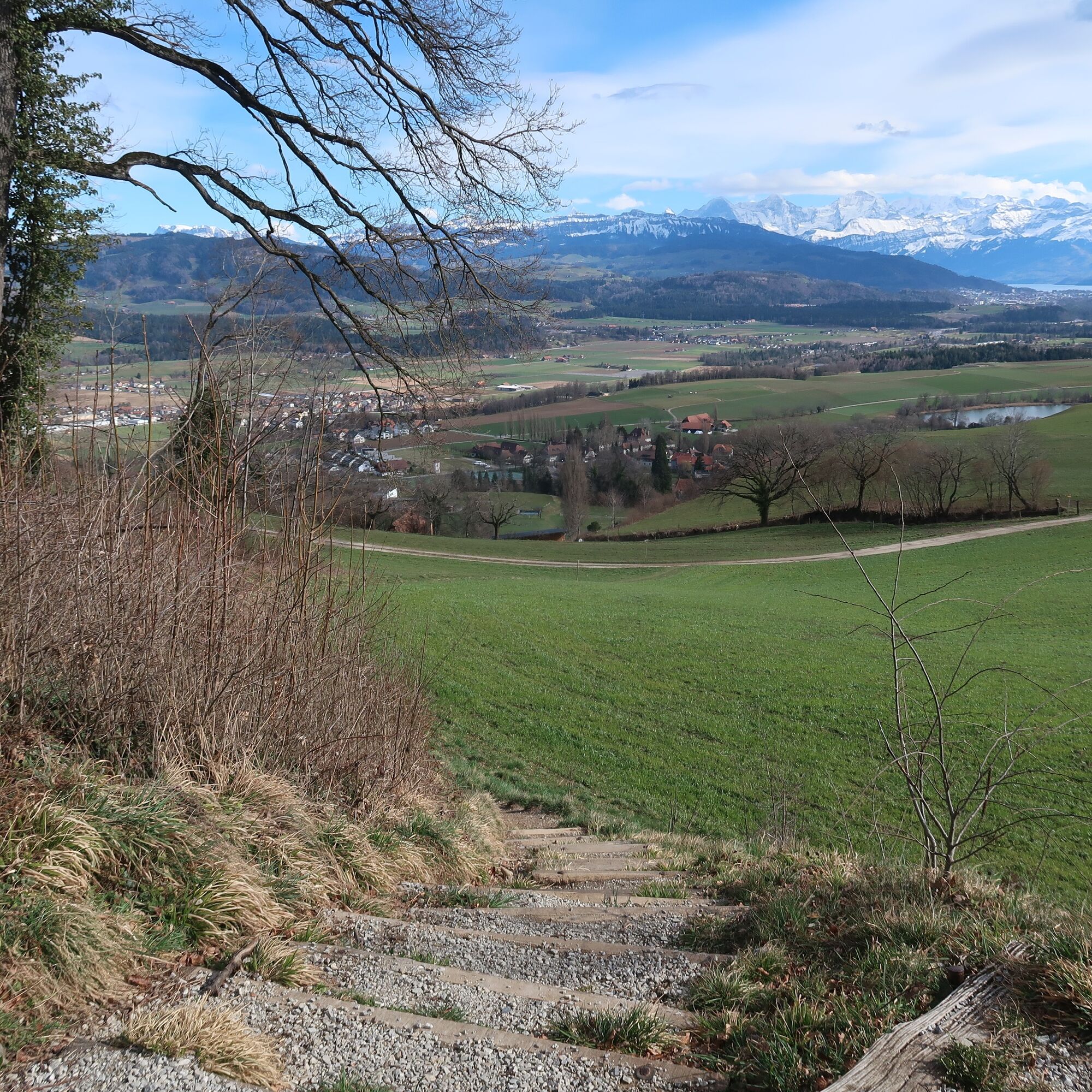
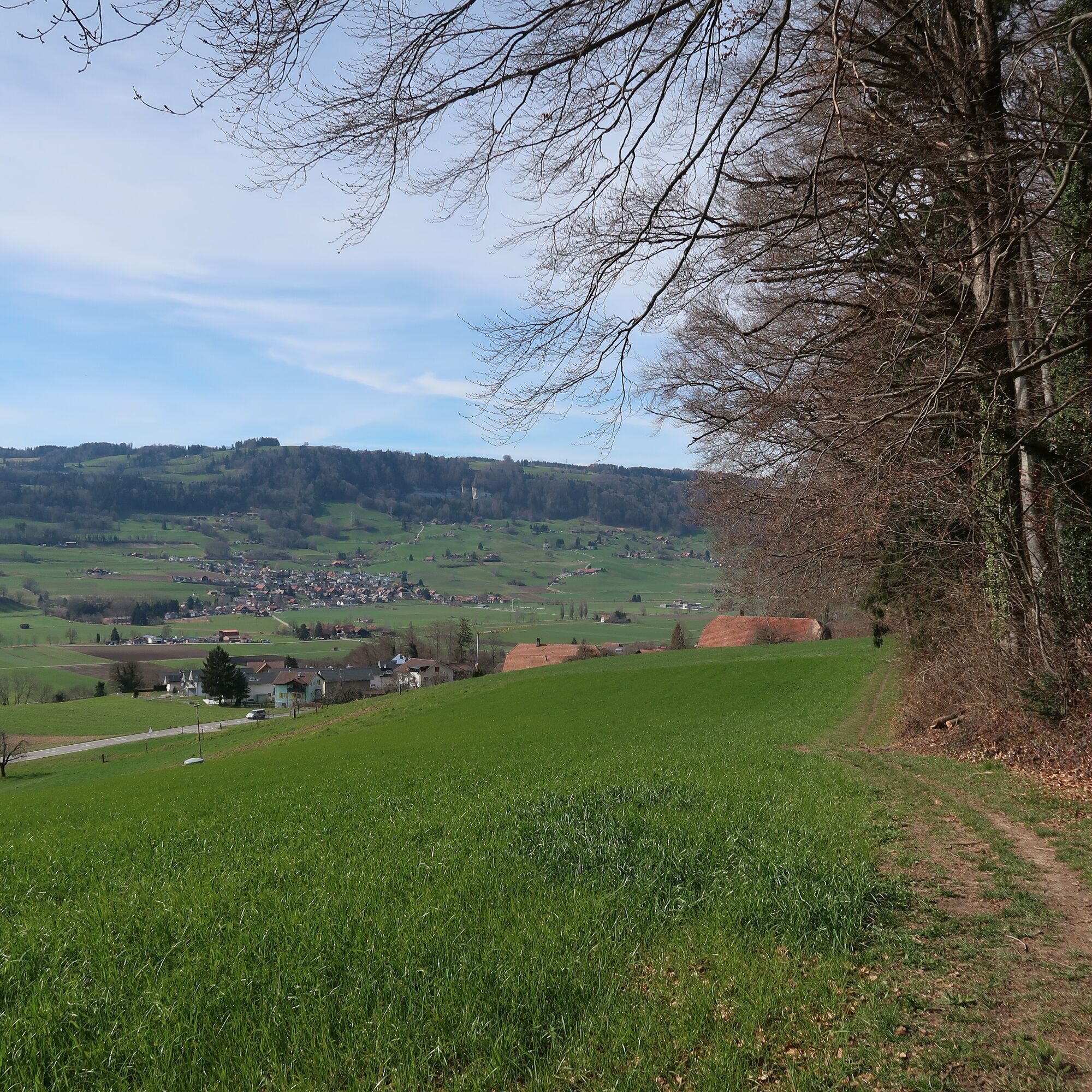
Now you descend on the hiking trail with a view of the Aare valley and the village of Münsingen to Rohrholz. A picnic area with a fire pit, benches, a shelter, and a good view of Gerzensee invites you to rest before the steep descent into the village. After reaching the village of Gerzensee, the path leads west. At the foot of the Belpberg, along the forest edge, the path leads north towards Toffen. From here you can comfortably take the train home.


Normal hiking equipment

Popularne wycieczki w okolicy
- 5,0
Gürbetal High Trail (SwitzerlandMobility 380)
średniWędrówka 18,2 km - 5,0
Aare Thun-Bern
średniKajak / Canoe 27,5 km - 4,5
Thun - Chartreuse - Goldiwil - Hünibach
średniWędrówka 8,14 km - 4,5
Gantrisch Königsroute (SchweizMobil 502)
ciężkiMountainbike 30,4 km - 5,0
Schwarzwasser-Sense Gorge Path Stage 1 (SchweizMobil 381)
światłoWędrówka 11,4 km - 5,0
Belpberg route (SchweizMobil 361)
ciężkiJazda na rowerze 40,9 km - 3,0
Von Süderen zum Hochmoor
światłoWędrówka 19,5 km Oberbalm-Bütschelegg-Riggisberg
światłoWędrówka 16,4 km- 5,0
Alpenpanoramaweg stage 17 (SchweizMobil 3)
średniWędrówka 19,4 km - 4,3
Thun - Hünibach - Chartreuse
światłoWędrówka 7,88 km

Wędrówki i tropienie


Nie przegap ofert i inspiracji na następne wakacje
Twój adres e-mail została dodana do listy mailingowej.





