







Gantrisch Königsroute (SchweizMobil 502)

Poziom trudności: S3
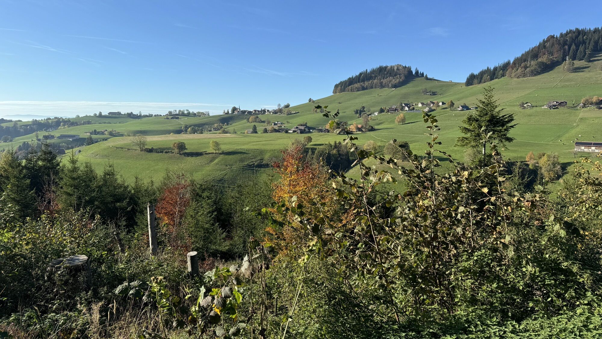
The start is in Riffenmatt. After an initial ascent, the route passes the old moor baths. The Schwarzwasser is crossed in the Tröligraben. A descent leads down to Eywald, which is also an alternative starting...
The start is in Riffenmatt. After an initial ascent, the route passes the old moor baths. The Schwarzwasser is crossed in the Tröligraben. A descent leads down to Eywald, which is also an alternative starting point for the circular route. First on an asphalted alpine path, later from Schleifgraben on natural paths, the route steadily climbs to 1,540 m above sea level.
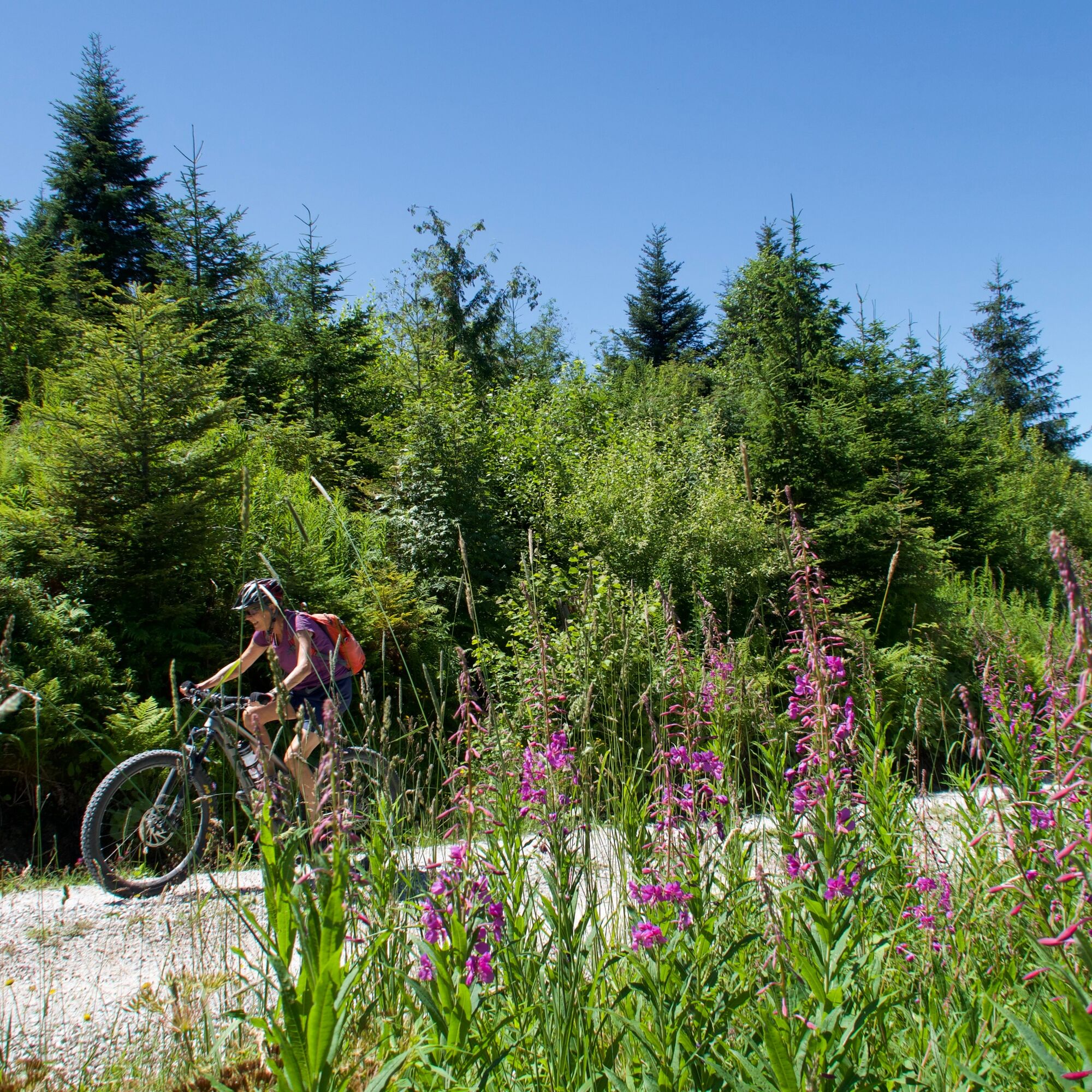
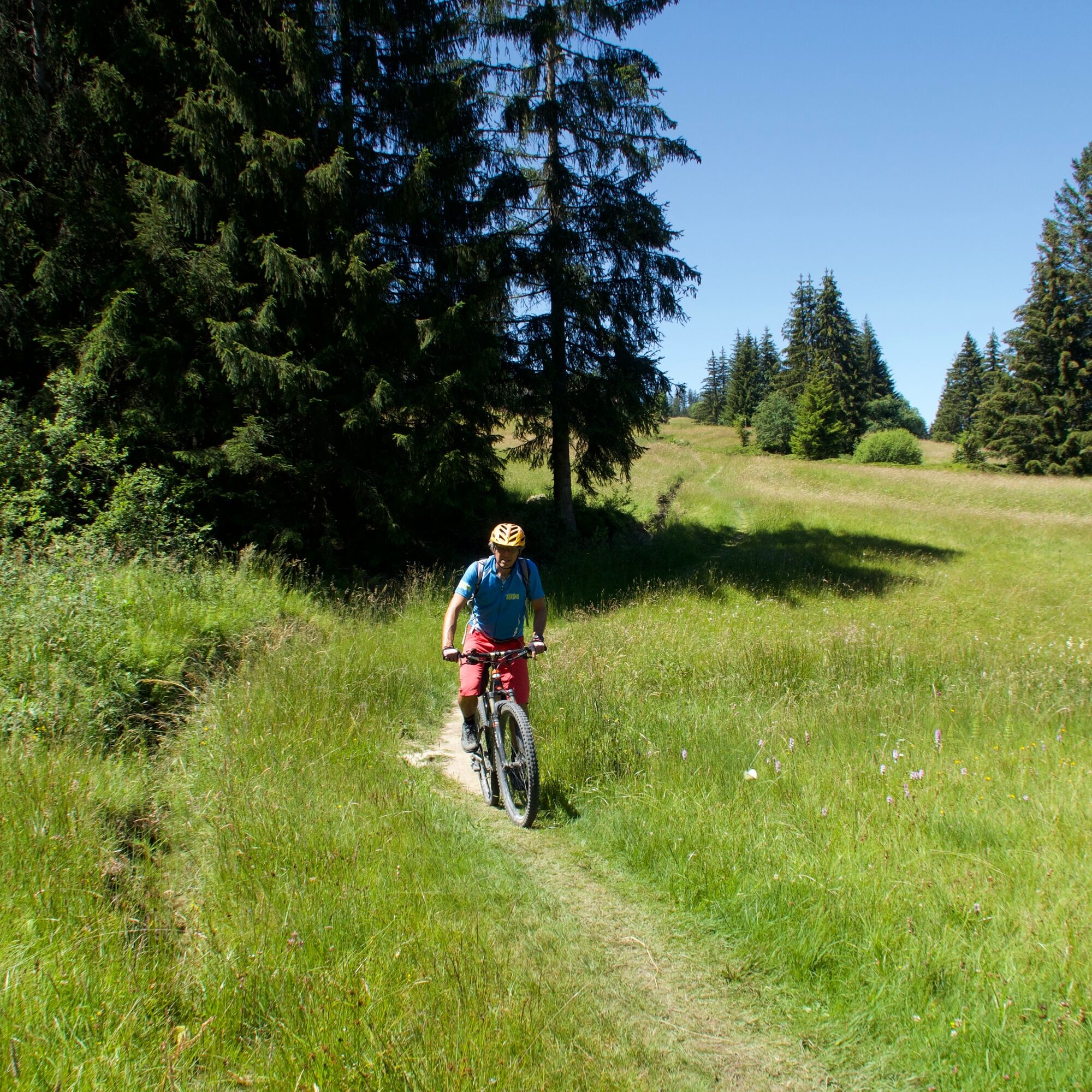
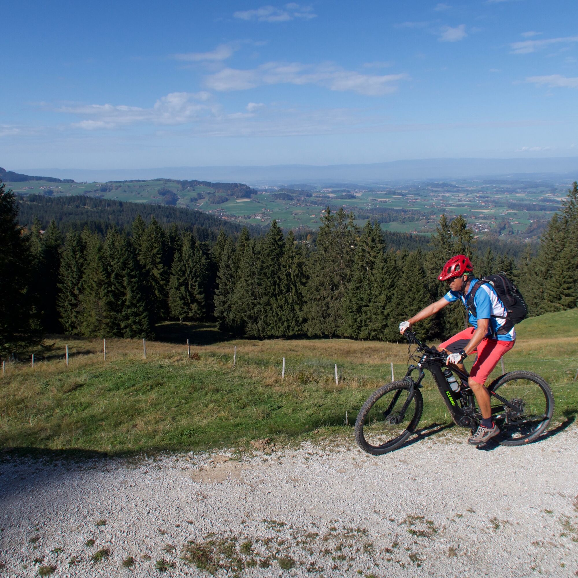
A forest path leads across to the Selital area. After an easy start, the steep ascent to the Horbüel Pass follows. The subsequent varied and demanding section over forest paths and alpine pastures truly deserves the name "Königsroute". At Hällstett, the view opens over the entire Central Plateau to the Jura. Those who do not have the courage to tackle the following descent on the old mule track can also go on foot. This is followed by a very long and spectacular descent over stony alpine and forest paths before a final asphalted section leads back to Riffenmatt.

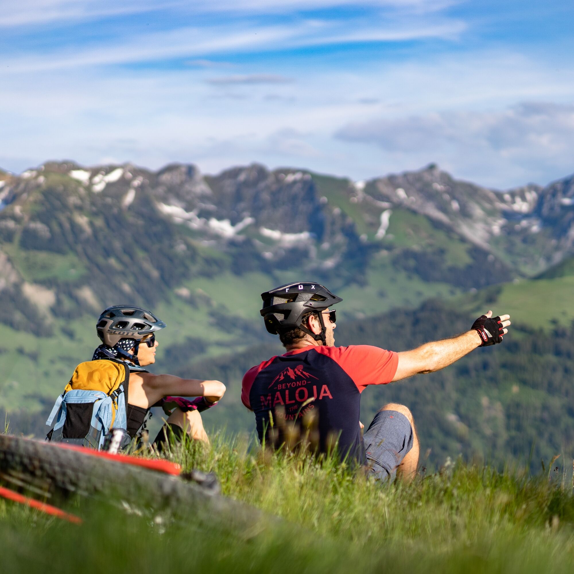
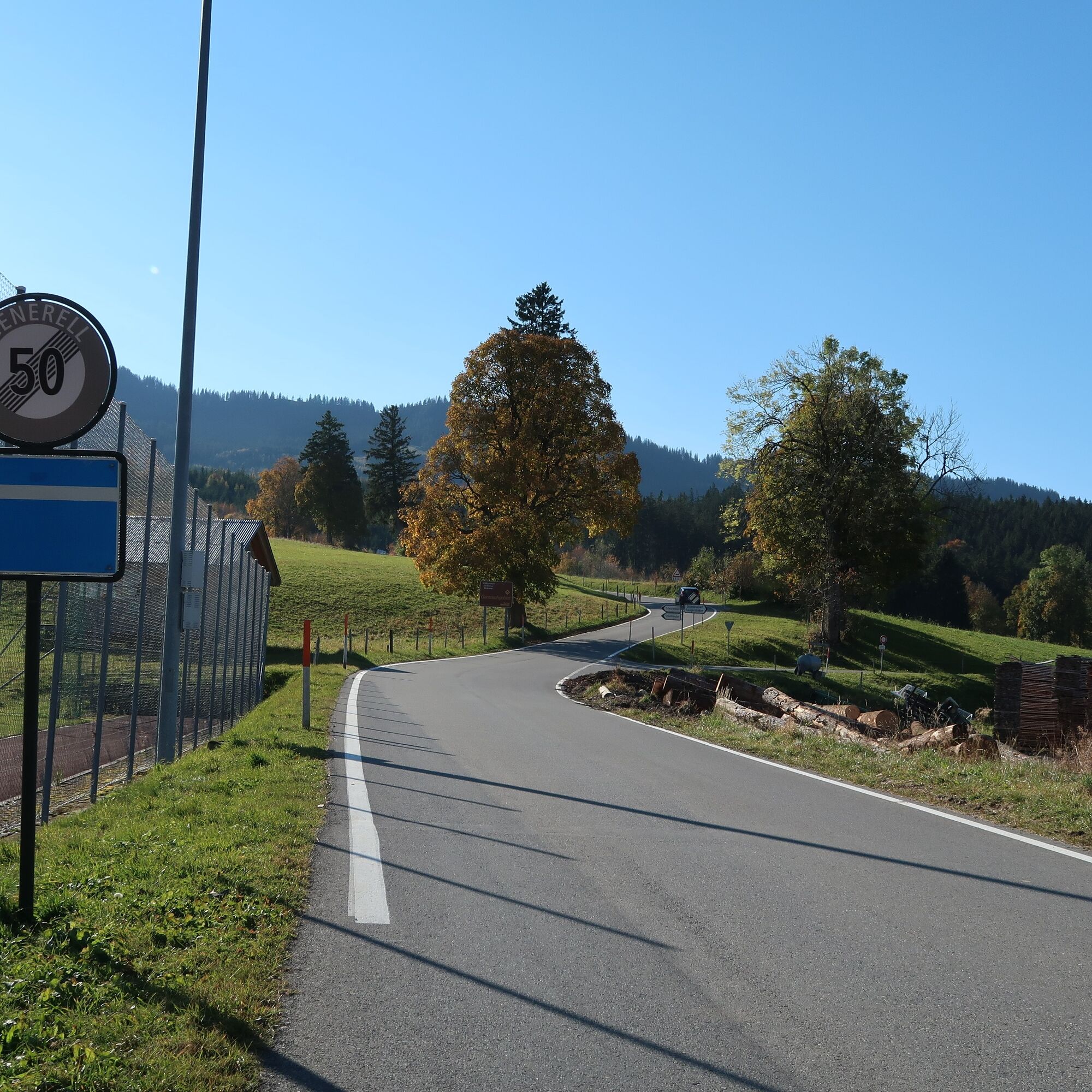
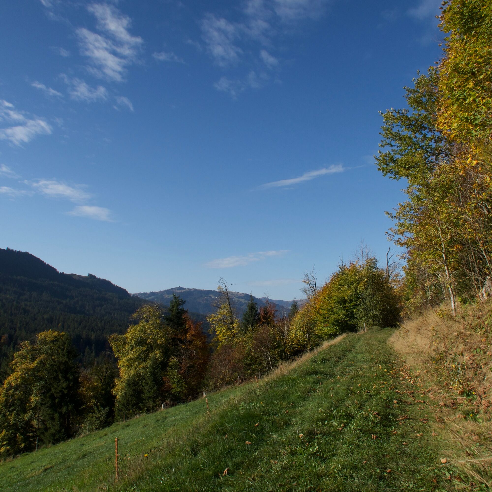
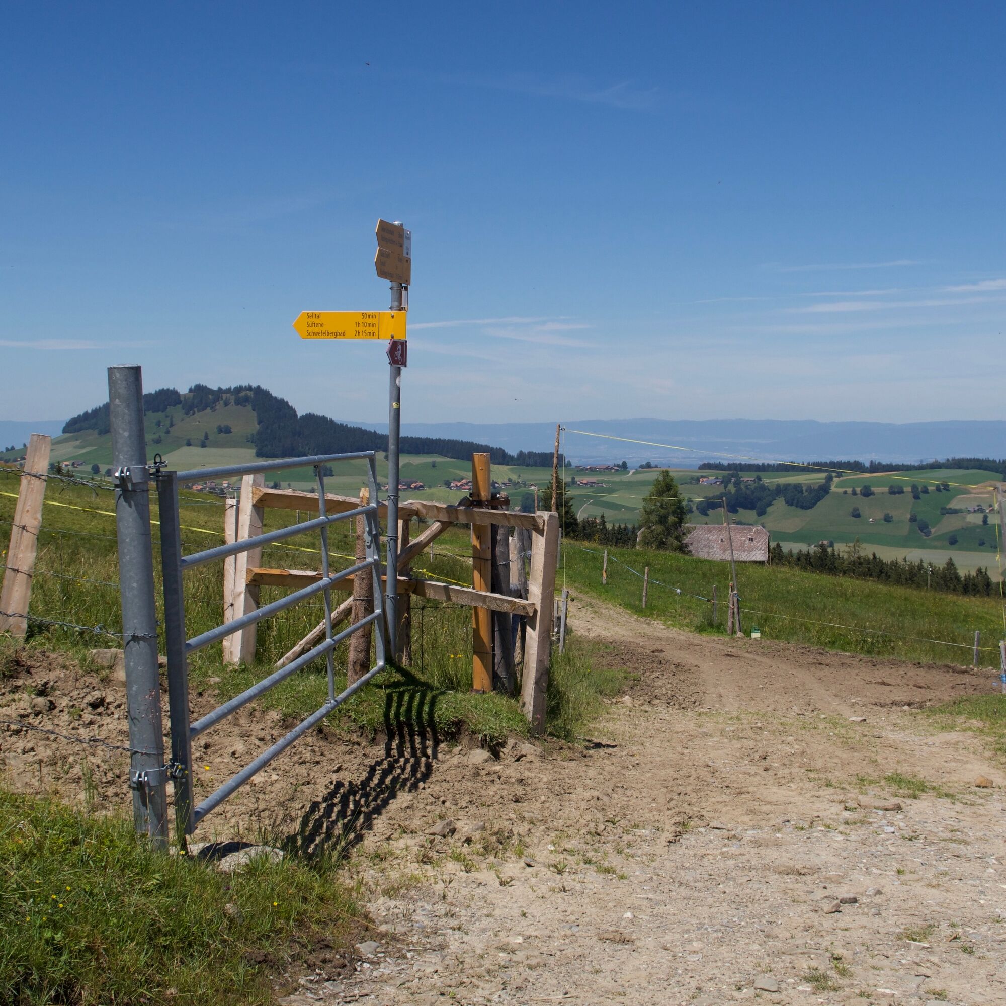
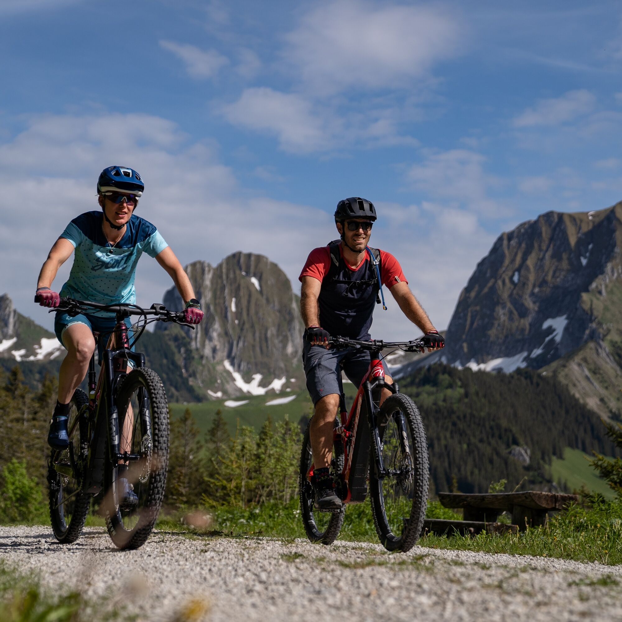
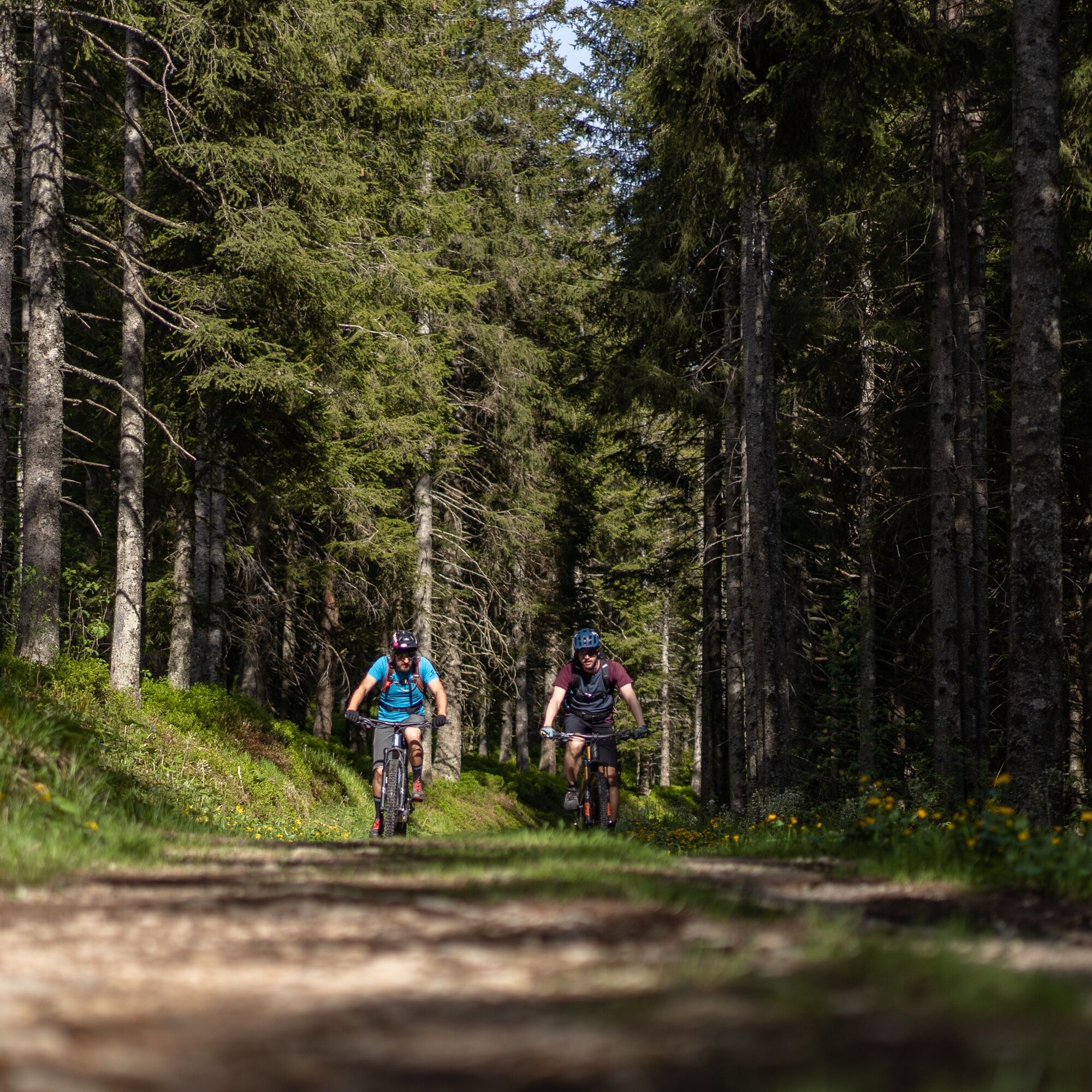
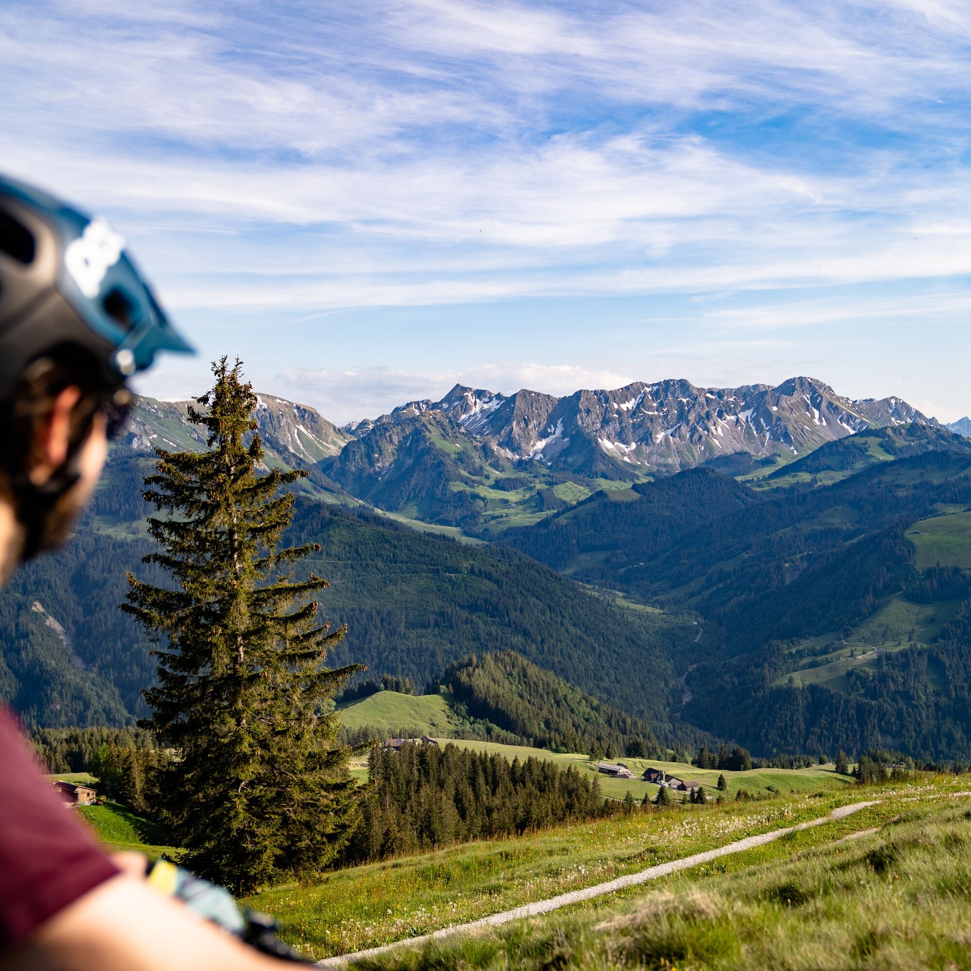
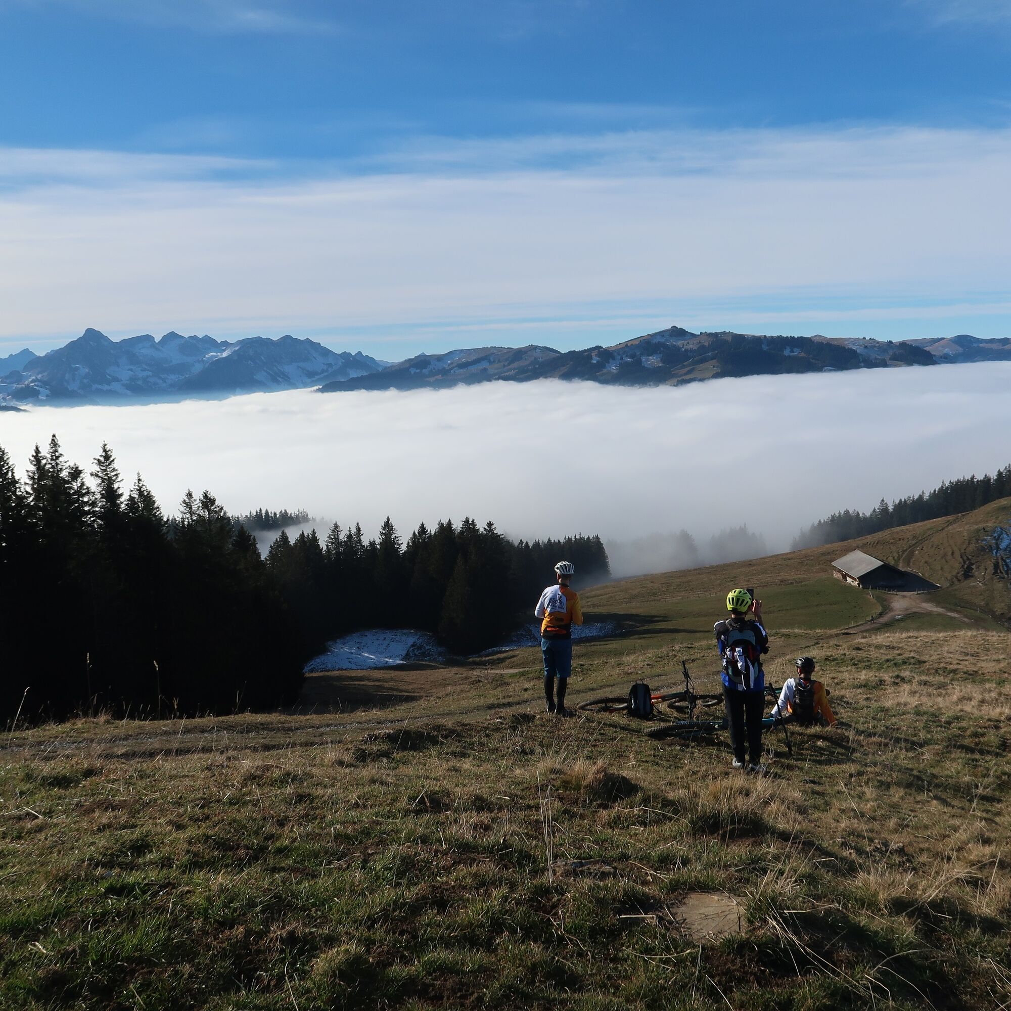
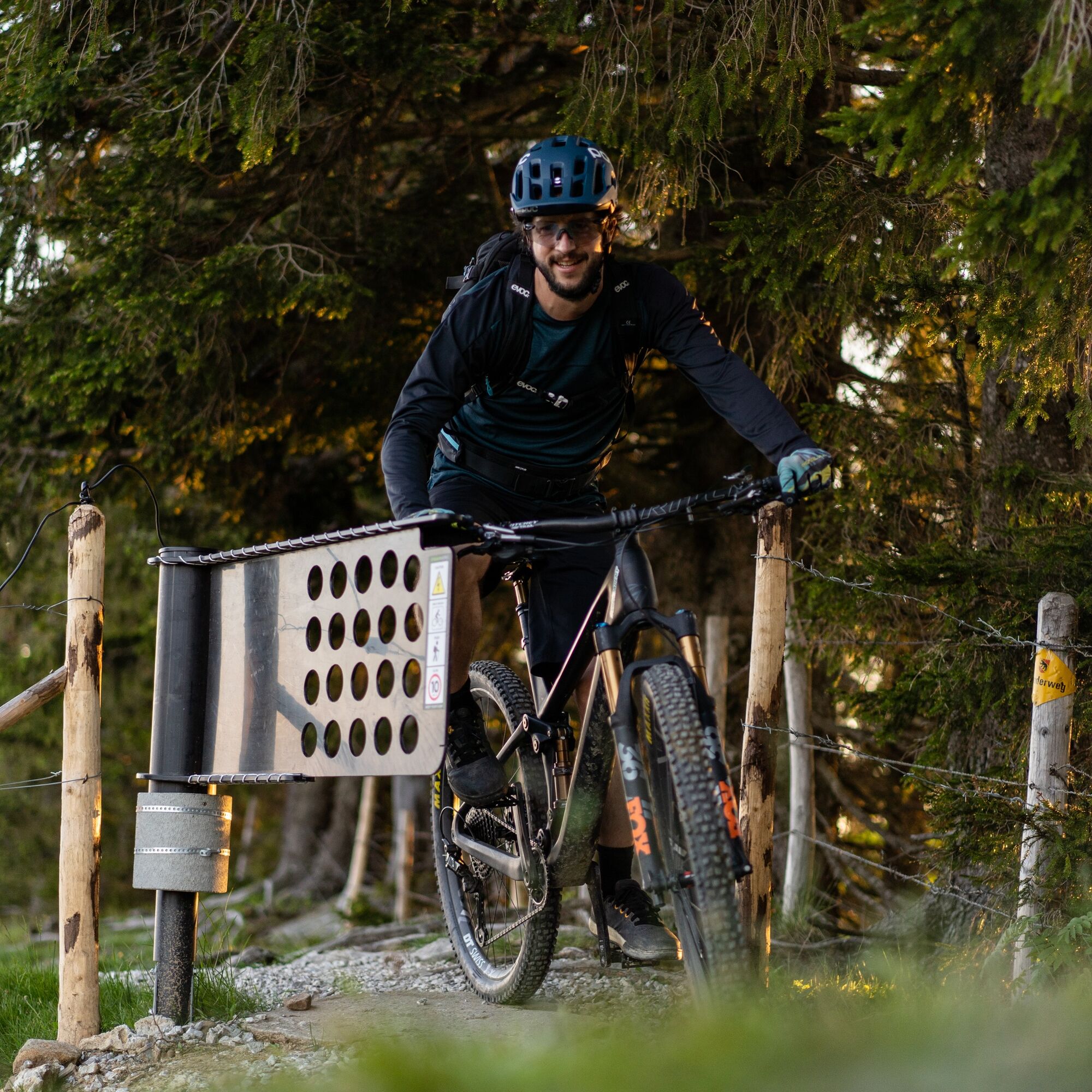
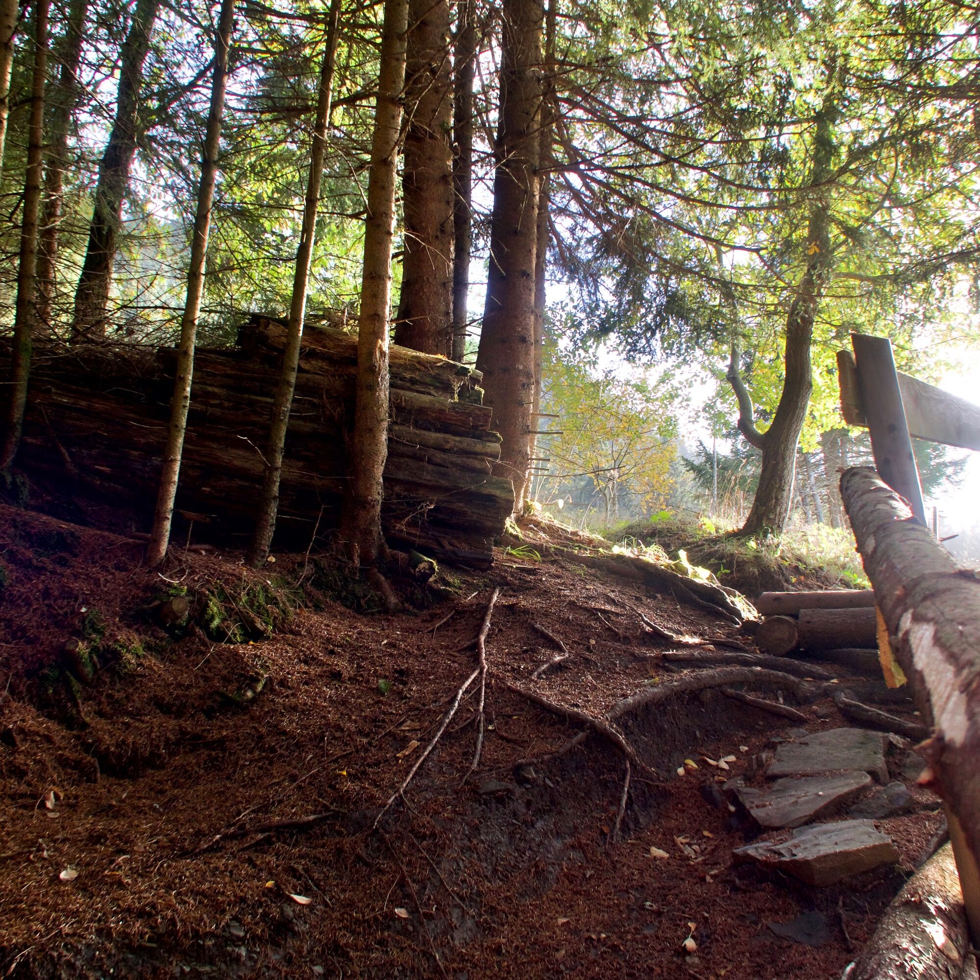
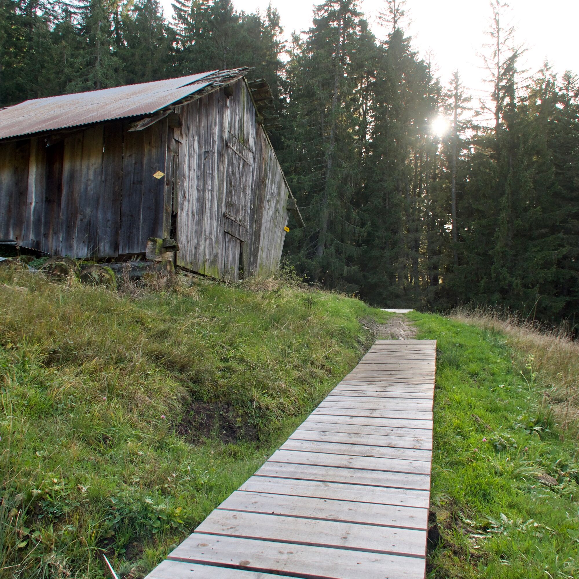

The route is only signposted clockwise
Normal bike equipment
If interested, mountain bikes can be rented from one of our partners.
Bike and cycling shops in the nature park
S3
 Uzyskaj wgląd
Zawsze na żywo z ponad 9 500 kamer internetowych. bergfex Jako użytkownik Pro, możesz teraz zobaczyć odpowiednie kamery internetowe dla wielu wycieczek w aplikacji wycieczki od. Pozwala to na bezpośredni podgląd aktualnych warunków.
Uzyskaj wgląd
Zawsze na żywo z ponad 9 500 kamer internetowych. bergfex Jako użytkownik Pro, możesz teraz zobaczyć odpowiednie kamery internetowe dla wielu wycieczek w aplikacji wycieczki od. Pozwala to na bezpośredni podgląd aktualnych warunków.
Popularne wycieczki w okolicy
-
4,6
Gantrisch Summit Hike, 2176 m elevation
średniWędrówka 9,13 km -
4,8
Wasserscheide - Gantrisch Seeli
światłoWędrówka 9,33 km -
4,3
High-altitude hike Gurnigel - Stockhorn
średniWędrówka 11,2 km -
4,8
Summit hike Ochsen, 2188 m above sea level
średniWędrówka 7,94 km -
5,0
Schwarzsee Circular Route (SchweizMobil 787)
światłoWędrówka zimą 4,10 km -
4,7
Schwarzsee circular route Häxewääg
światłoTrasa tematyczna 4,10 km -
5,0
Oberstockenalp
światłoWędrówka 6,26 km -
4,8
Alpine Panorama Route Stage 20 (SchweizMobil 3)
średniWędrówka 12,2 km -
4,0
Circular hike Gürbequelle
średniWędrówka 8,24 km -
Anspruchsvolle Wanderung im Simmental
średniWędrówka 19,0 km
Wędrówki i tropienie


Nie przegap ofert i inspiracji na następne wakacje
Twój adres e-mail została dodana do listy mailingowej.





