







Alpenpanoramaweg stage 17 (SchweizMobil 3)

Stage 17. Münsingen - Rüeggisberg
The starting point of this route is the Münsingen train station. The first part proves to be leisurely. Through the village, along the stream, over the highway and finally...
Stage 17. Münsingen - Rüeggisberg
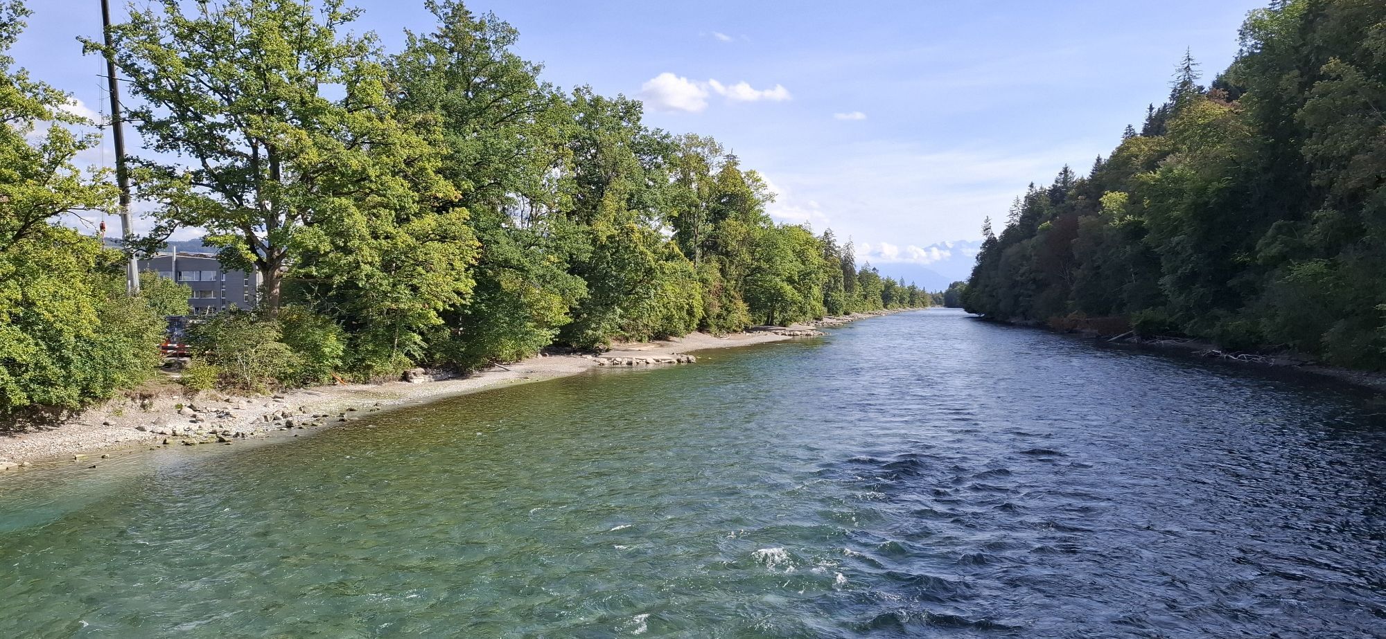
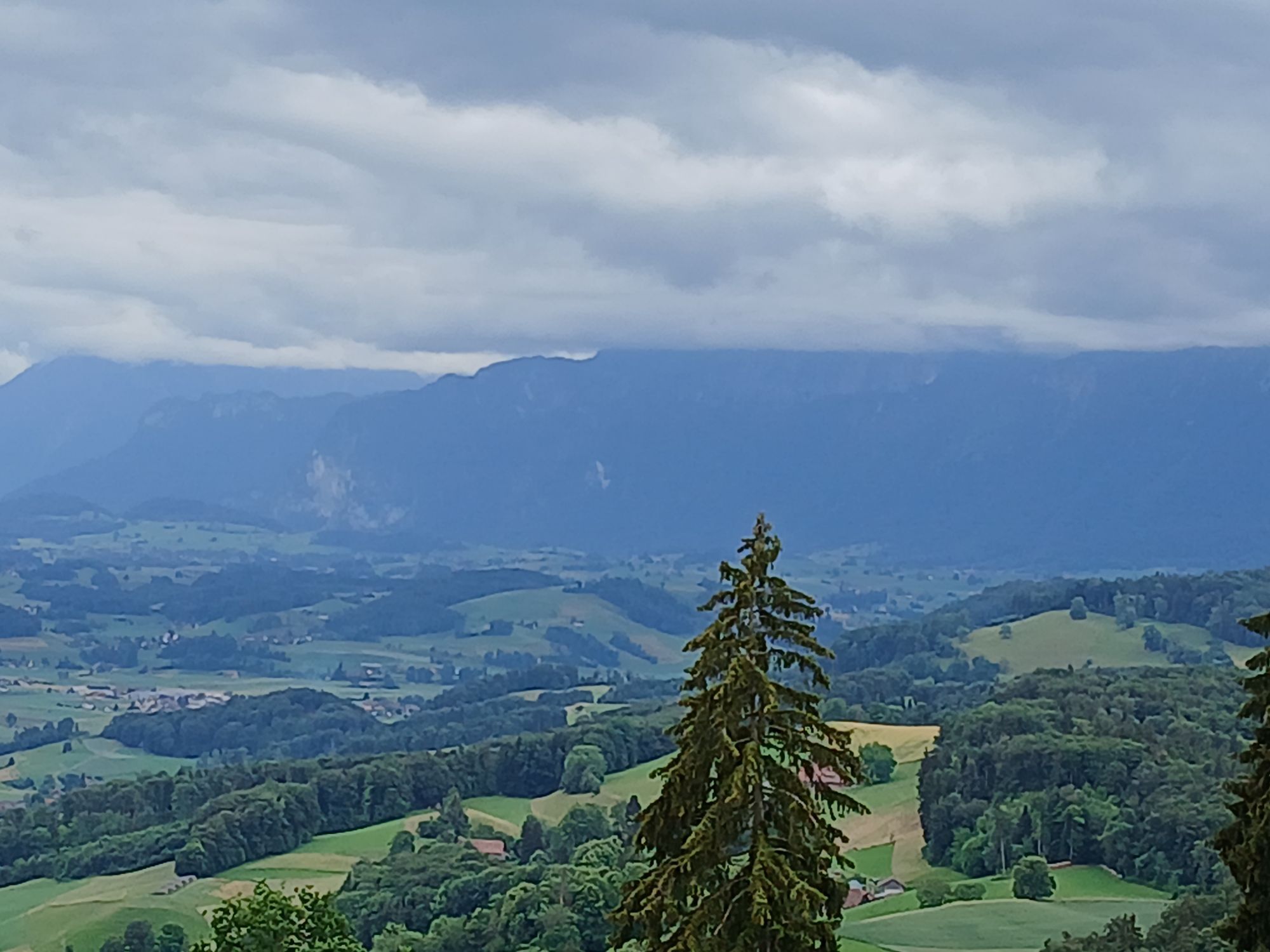
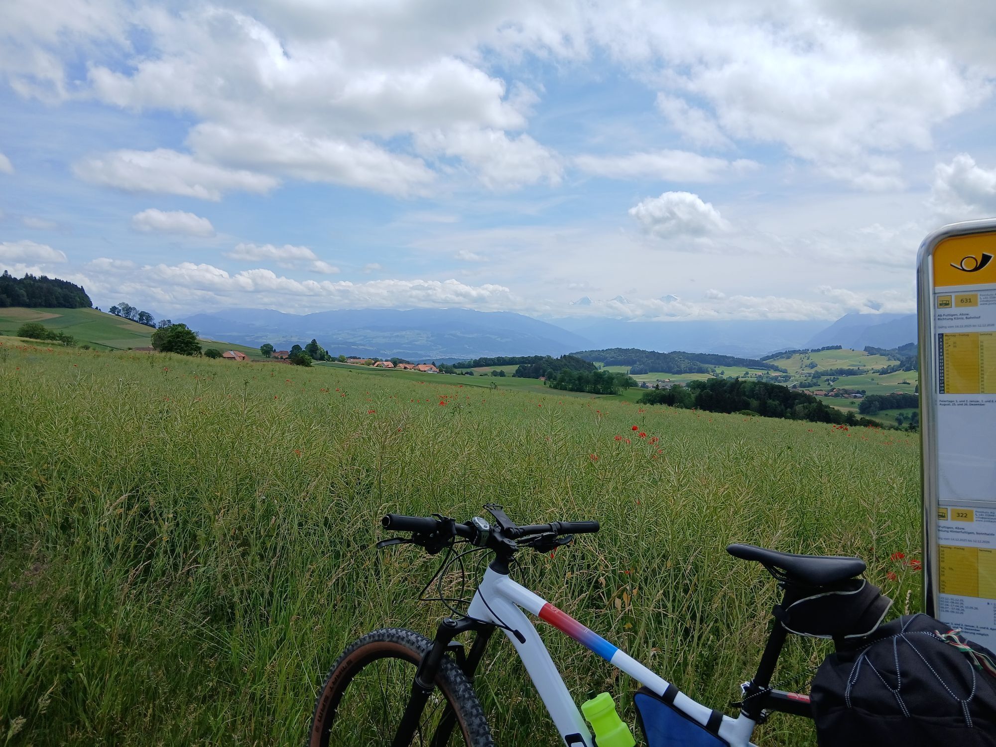
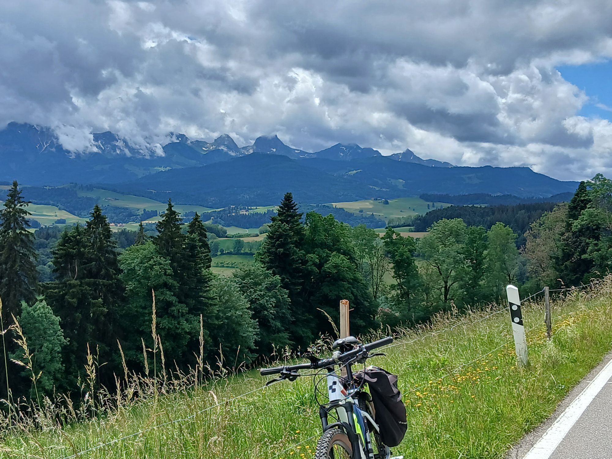
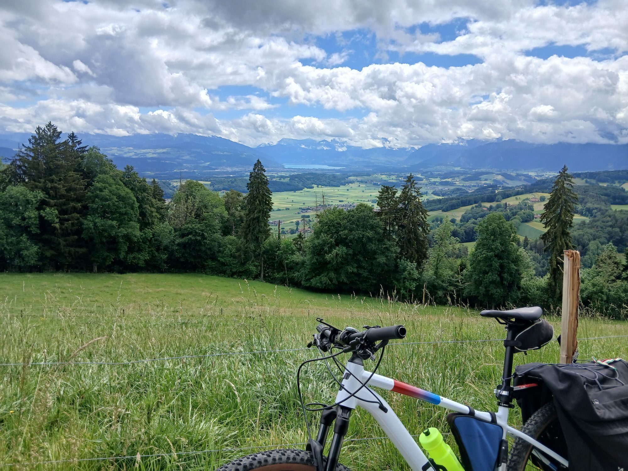
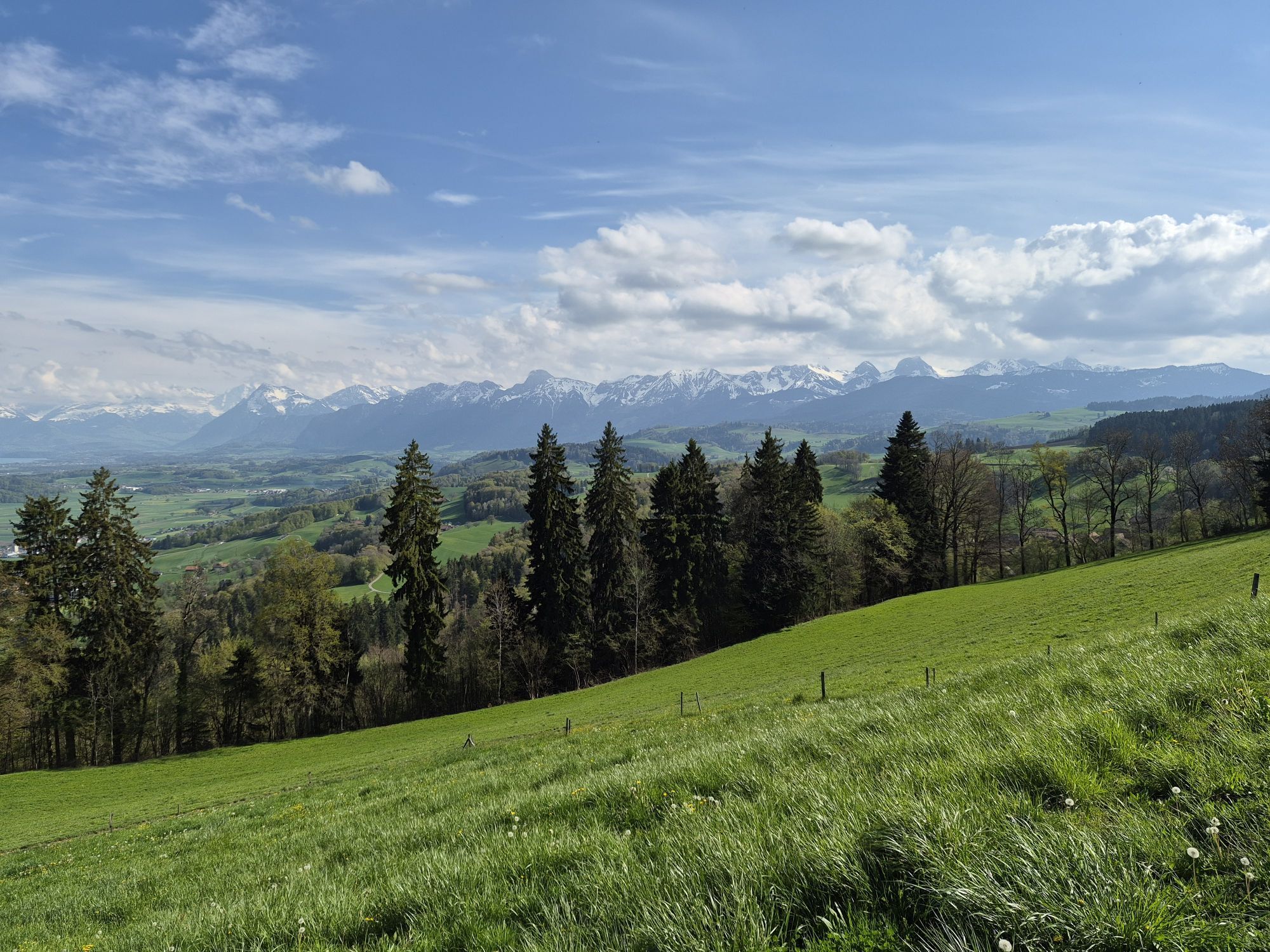
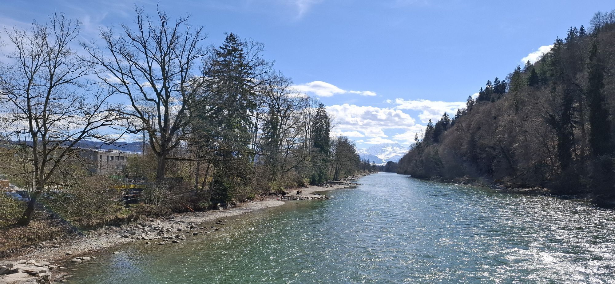
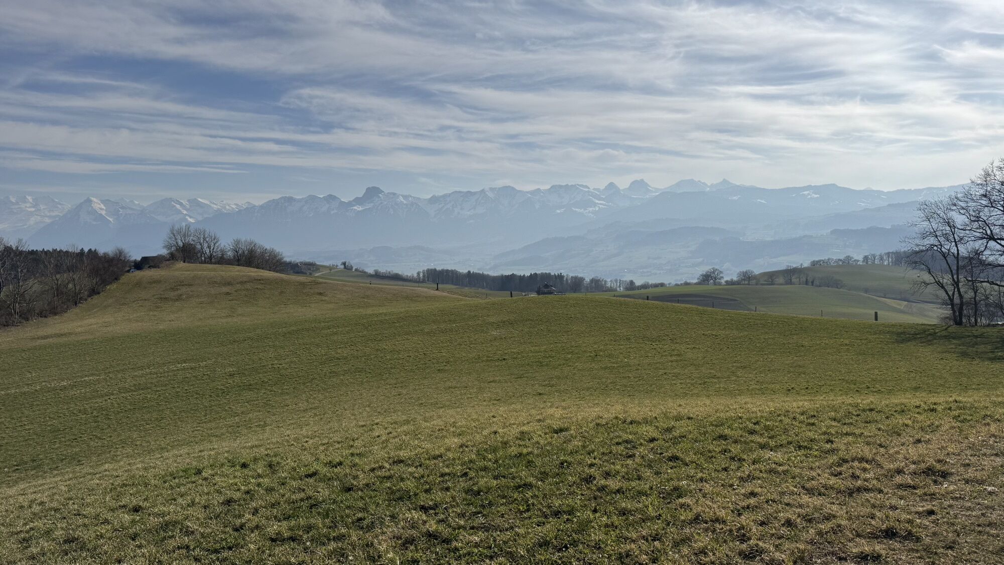
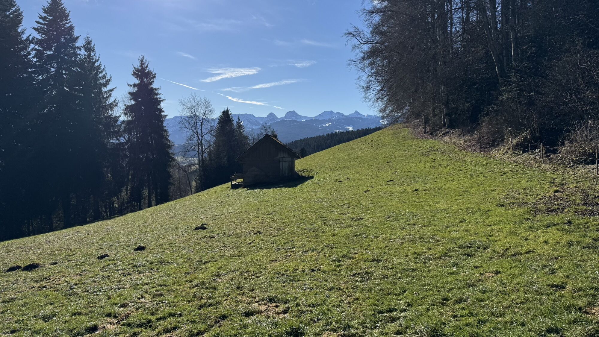
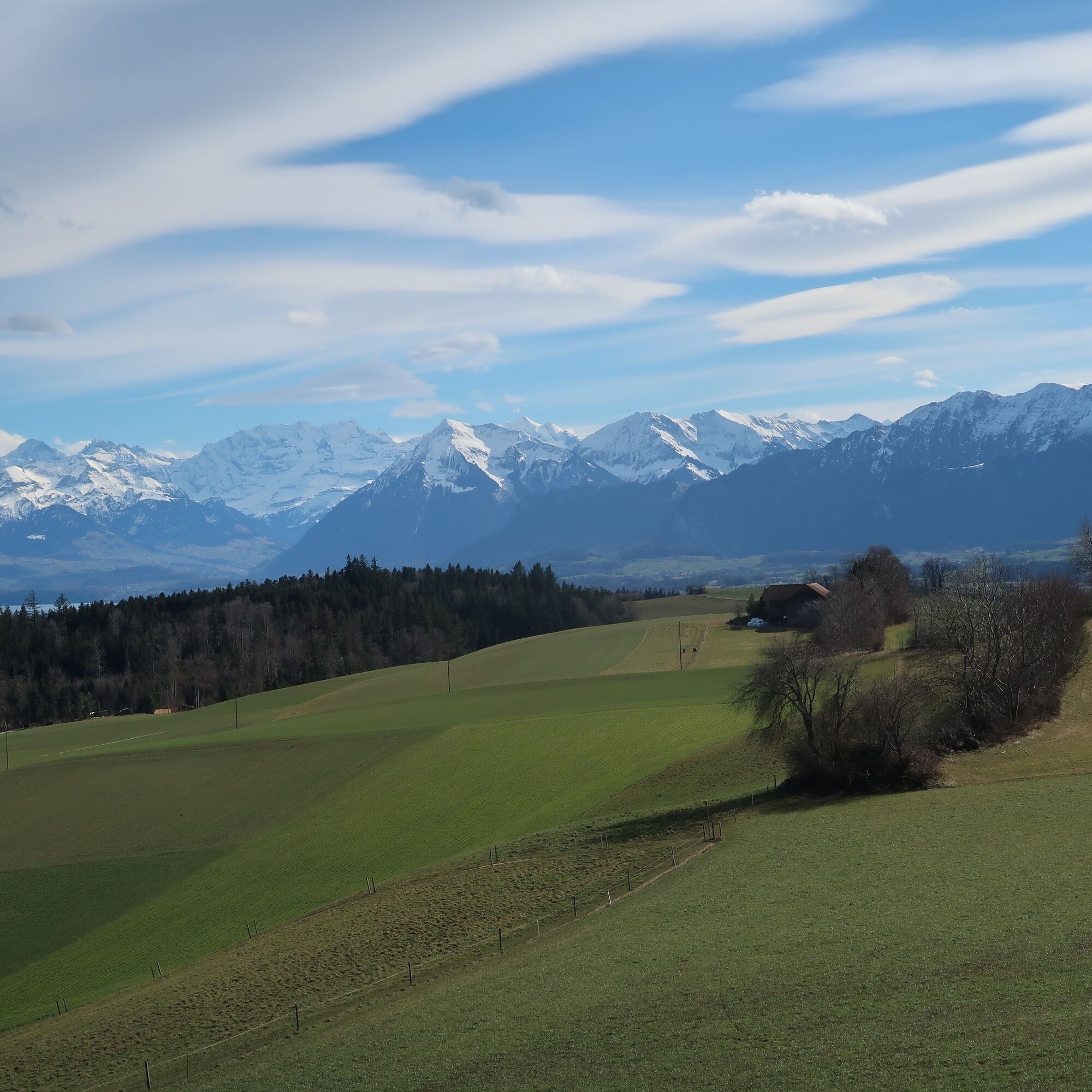
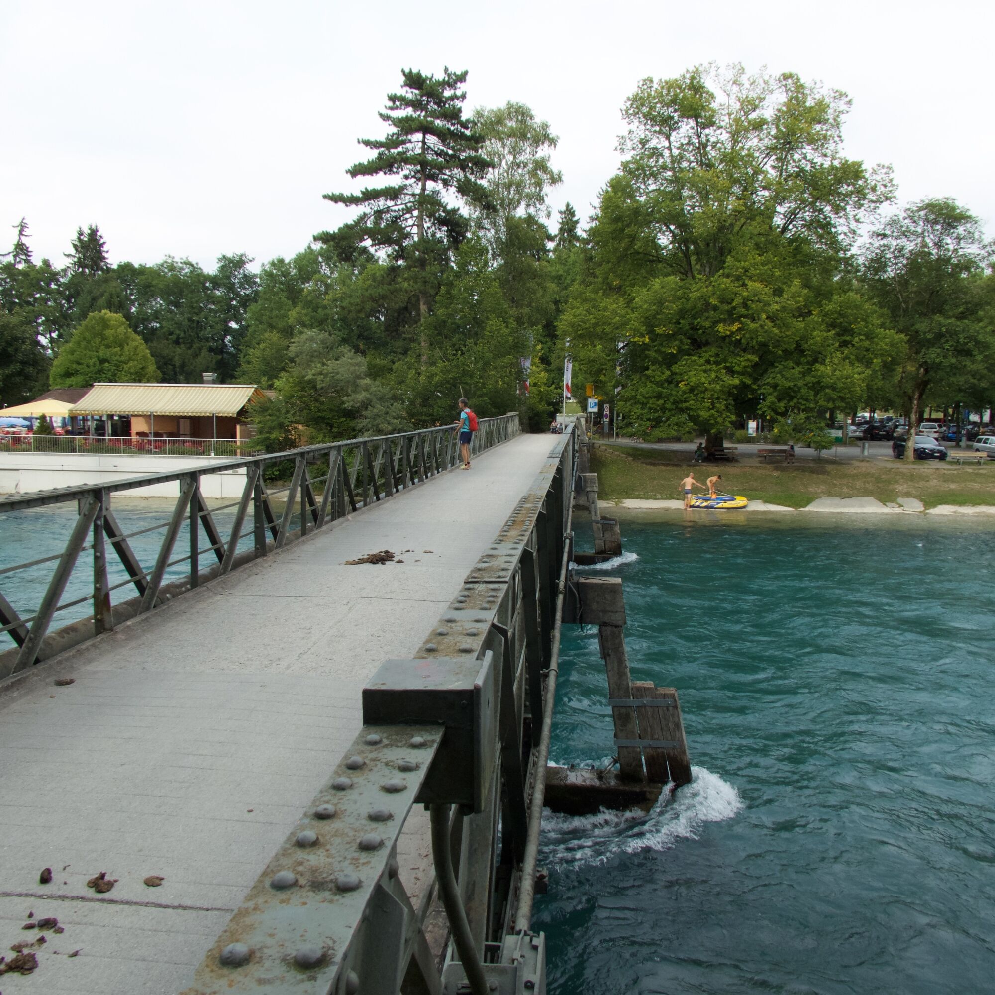
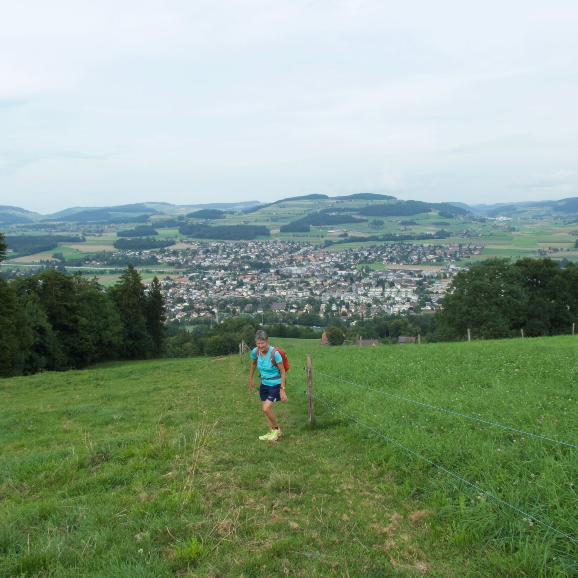
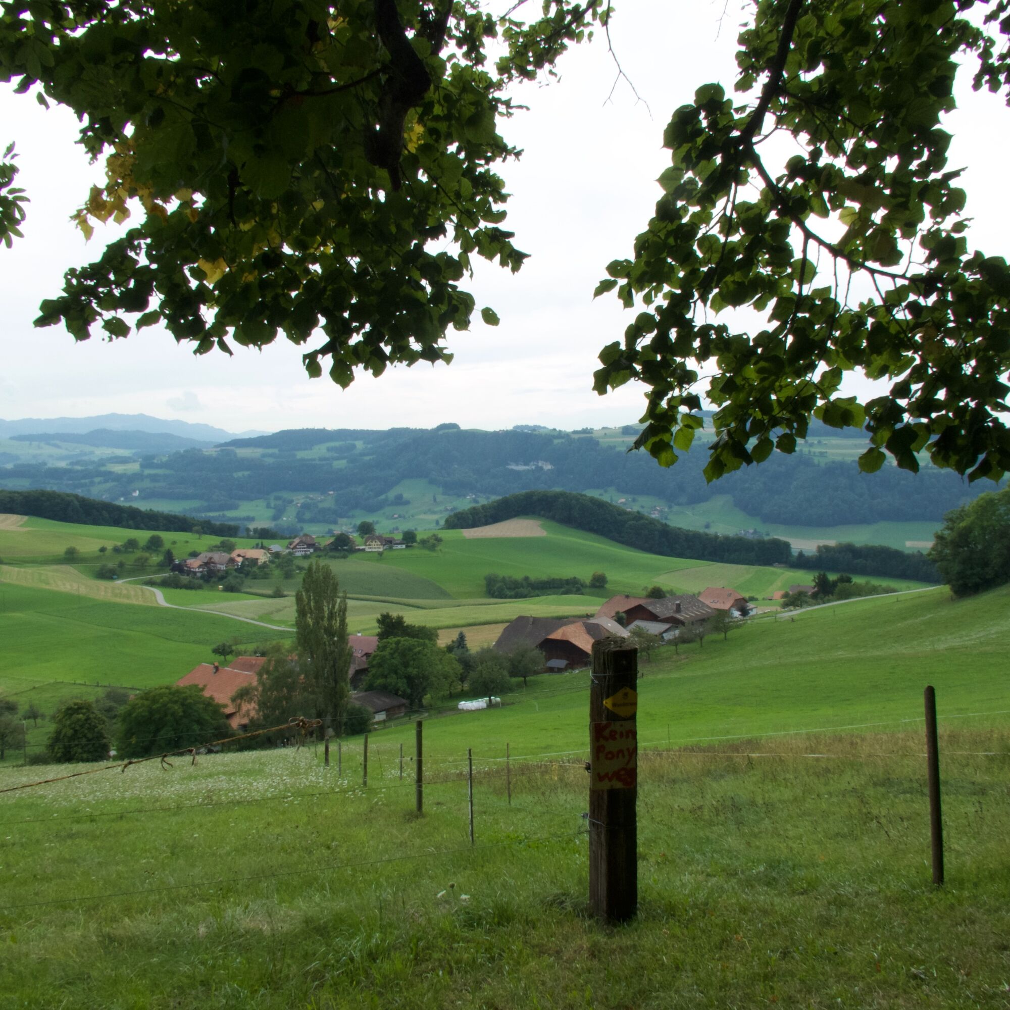
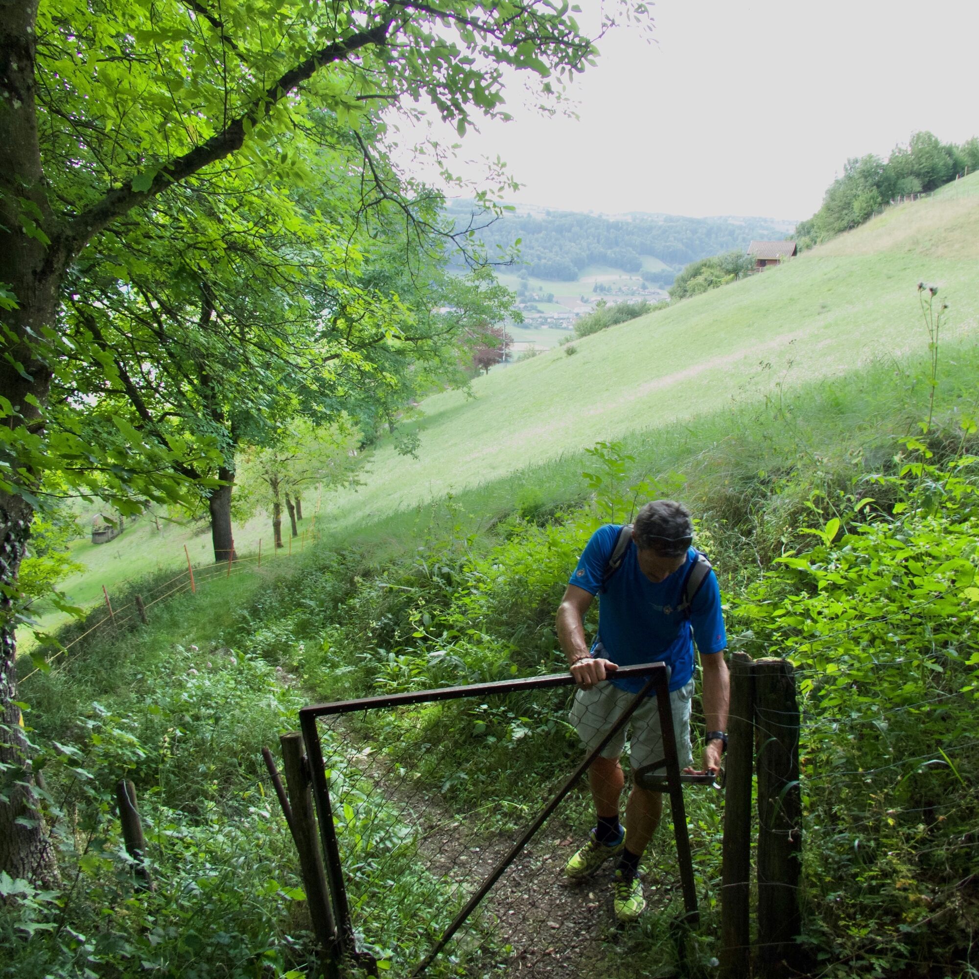
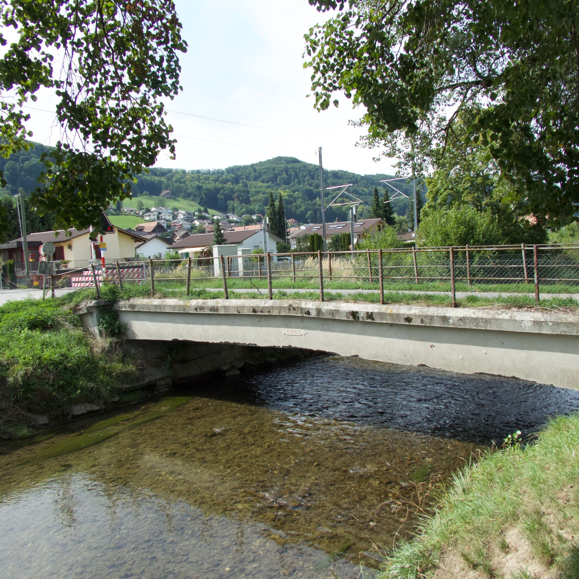
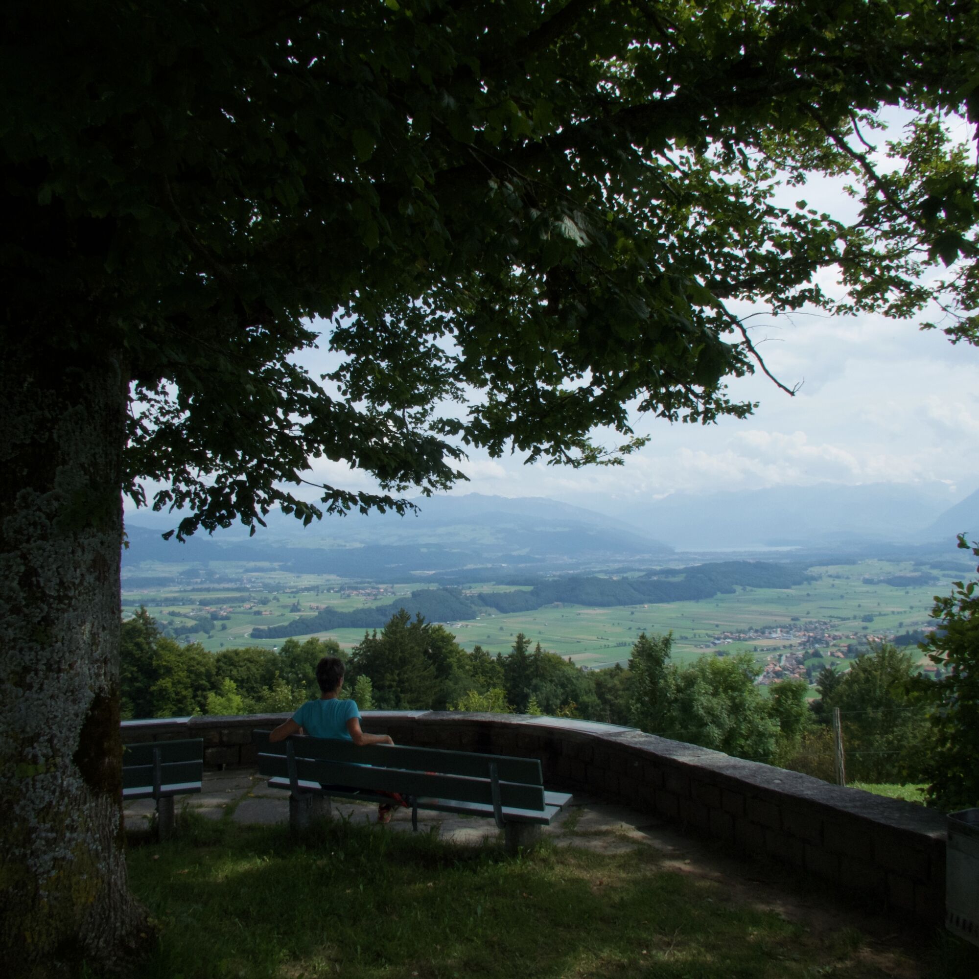
The starting point of this route is the Münsingen train station. The first part proves to be leisurely. Through the village, along the stream, over the highway and finally over the Aare, before the partly steep ascent follows. The path leads via stairs and trails to Hintere Chlapf. The sweaty ascent is repeatedly rewarded with a beautiful view spanning from the Aare to the Emmental. After crossing the Belpberg, a fabulous view opens up on the other side. The panorama lives up to the name of the route: Fantastic is the wide view towards Gantrisch and the surrounding mountain peaks. Downhill, one continues to Toffen. The village lies in the Gürbetal, picturesquely nestled between Längenberg and Belpberg. By now, after about three hours, half of the hike is completed.
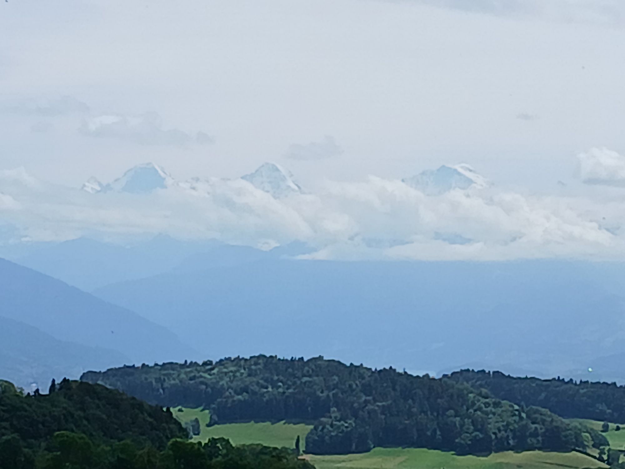
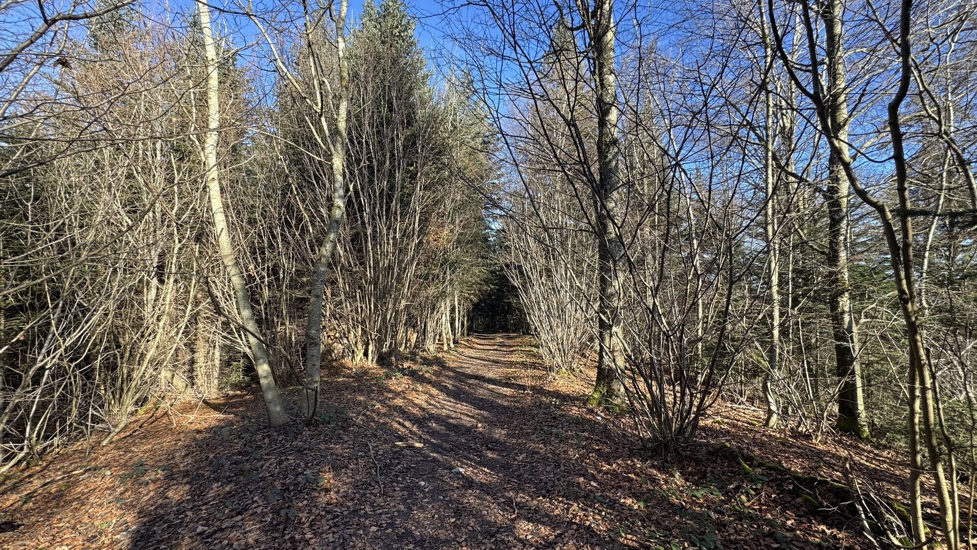
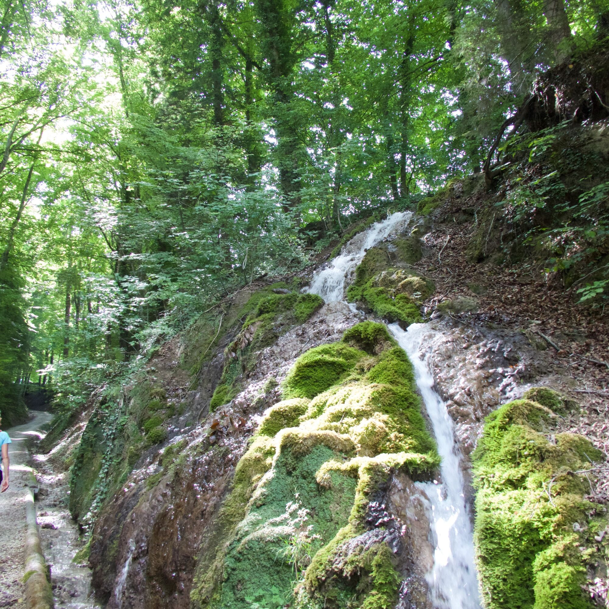
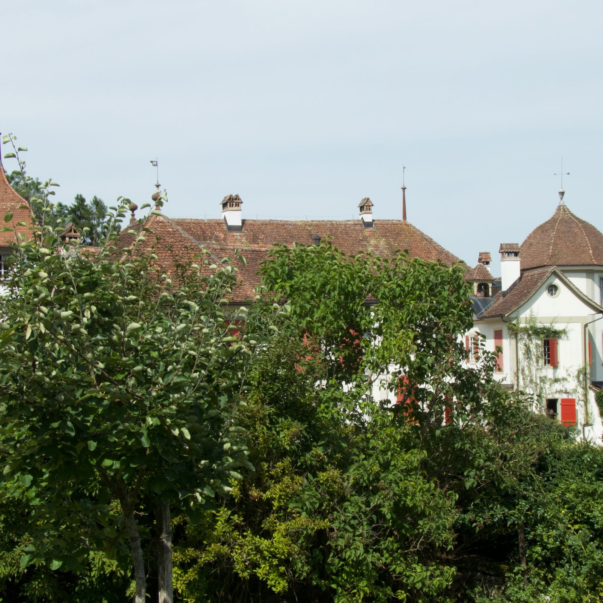
Forest and meadow sections alternate up to Leueberg. The beautiful rest area invites you to take a break here. And the alpine panorama reaches its peak: The peaks from Finsteraarhorn over Eiger, Breithorn, and up to Blüemlisalp vie for the viewer's eye. After another hour’s hike through the Taan forest and again over beautiful meadows with a dreamlike view, the stage ends in Rüeggisberg.


Normal hiking equipment




Popularne wycieczki w okolicy
-
4,5
Vreneli Trail Guggisberg
średniTrasa tematyczna 5,35 km -
5,0
Gürbetal High Trail (SwitzerlandMobility 380)
średniWędrówka 18,2 km -
5,0
Aare Thun-Bern
średniKajak / Canoe 27,5 km -
5,0
Rund um Bern
światłoWędrówka 50,0 km -
4,5
Gantrisch Königsroute (SchweizMobil 502)
ciężkiMountainbike 30,4 km -
5,0
Schwarzwasser-Sense Gorge Path Stage 1 (SchweizMobil 381)
światłoWędrówka 11,4 km -
5,0
Boucle depuis Sodbach
światłoWędrówka 8,62 km -
5,0
Belpberg route (SchweizMobil 361)
ciężkiJazda na rowerze 40,9 km -
Oberbalm-Bütschelegg-Riggisberg
światłoWędrówka 16,4 km -
4,0
Schwarzwasser-Sense Gorge Trail Stage 2 (SchweizMobil 381)
światłoWędrówka 10,7 km
Wędrówki i tropienie


Nie przegap ofert i inspiracji na następne wakacje
Twój adres e-mail została dodana do listy mailingowej.





