







Mountain route - Scheinbergspitz
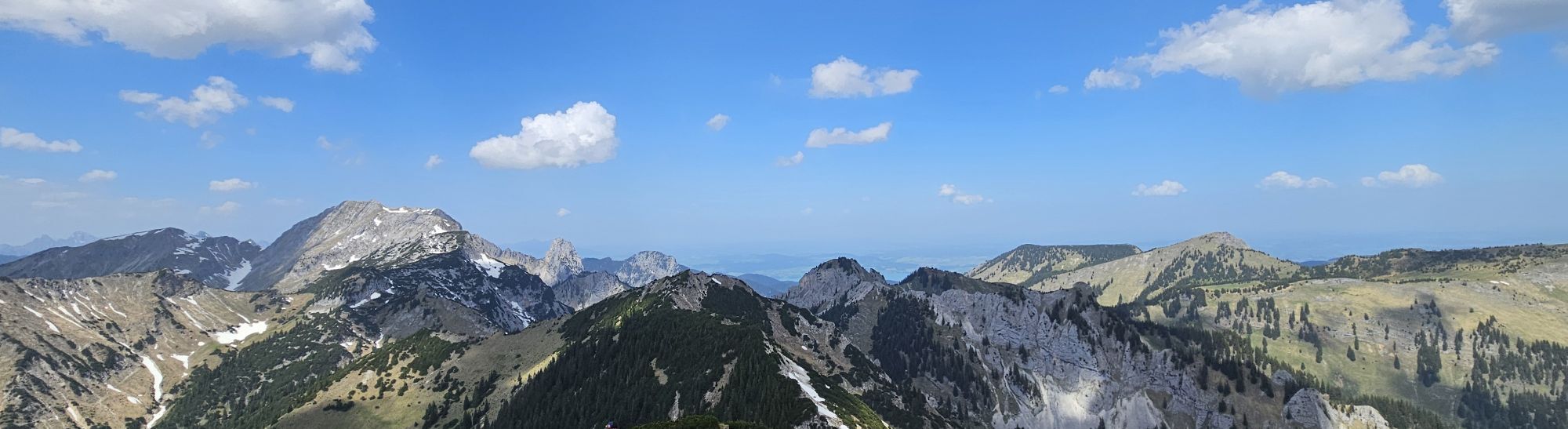
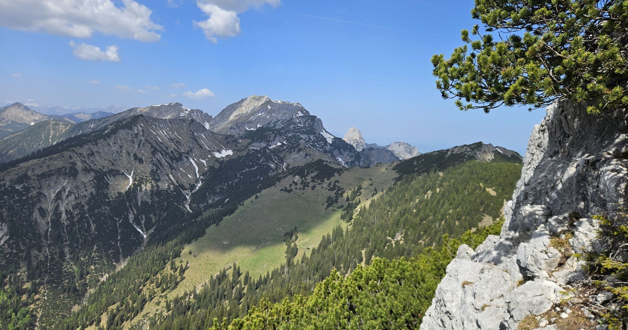
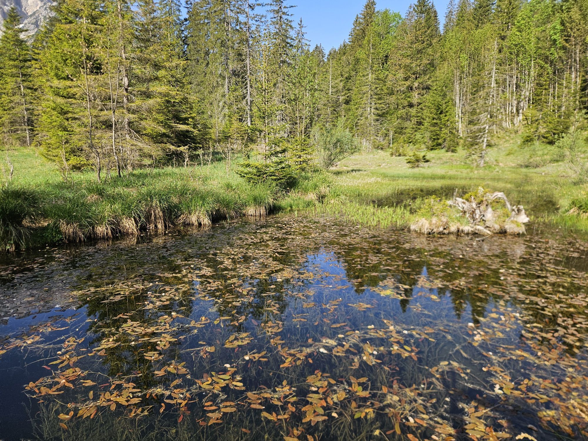
This popular route to the Scheinbergspitze leads along a path through beautiful mountain forest and then up to a scenic summit.

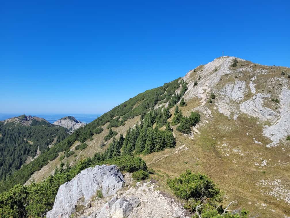
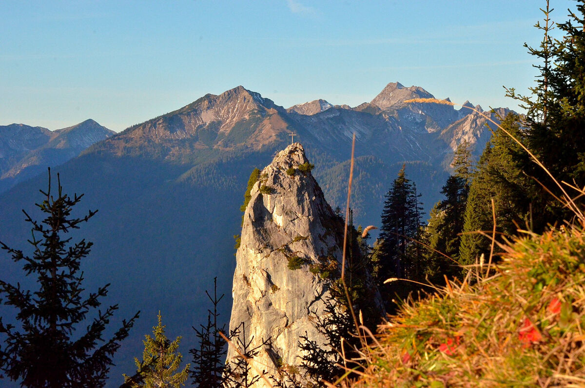
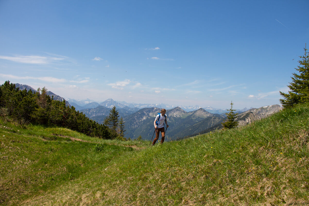
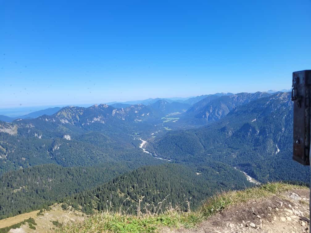
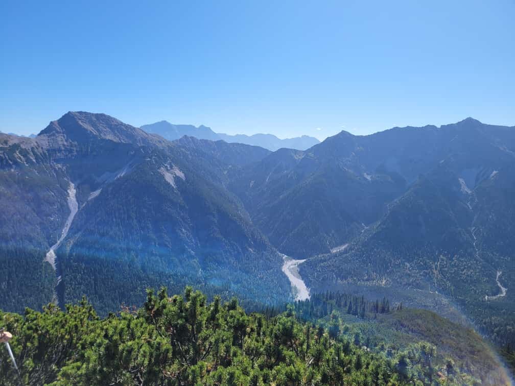
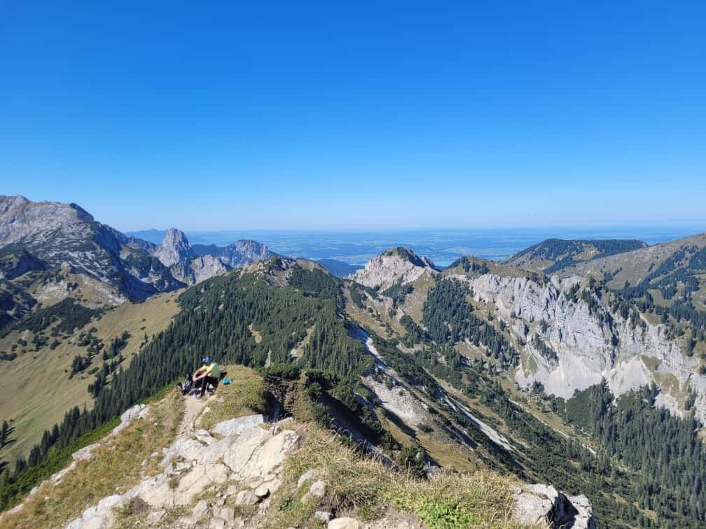
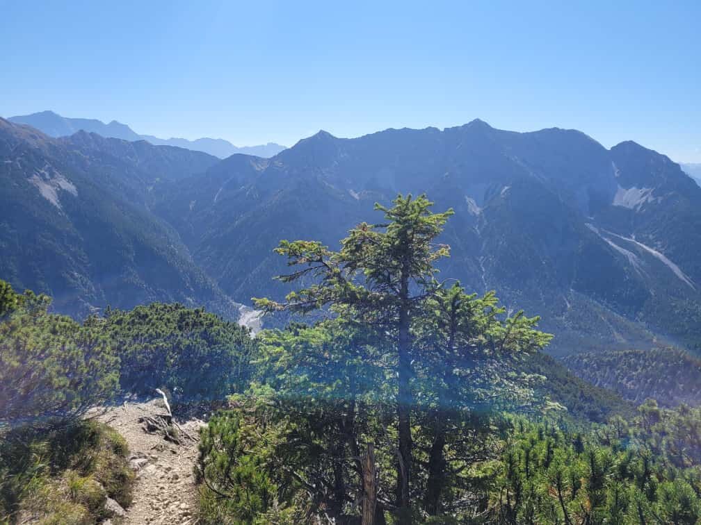

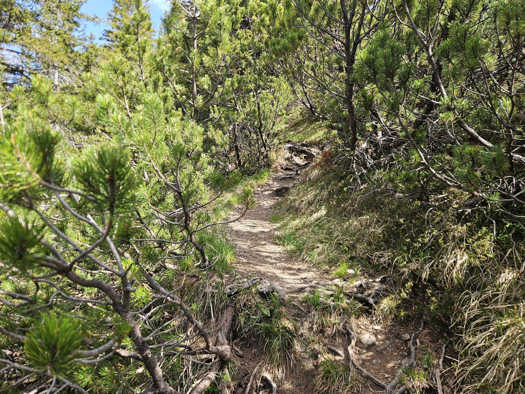
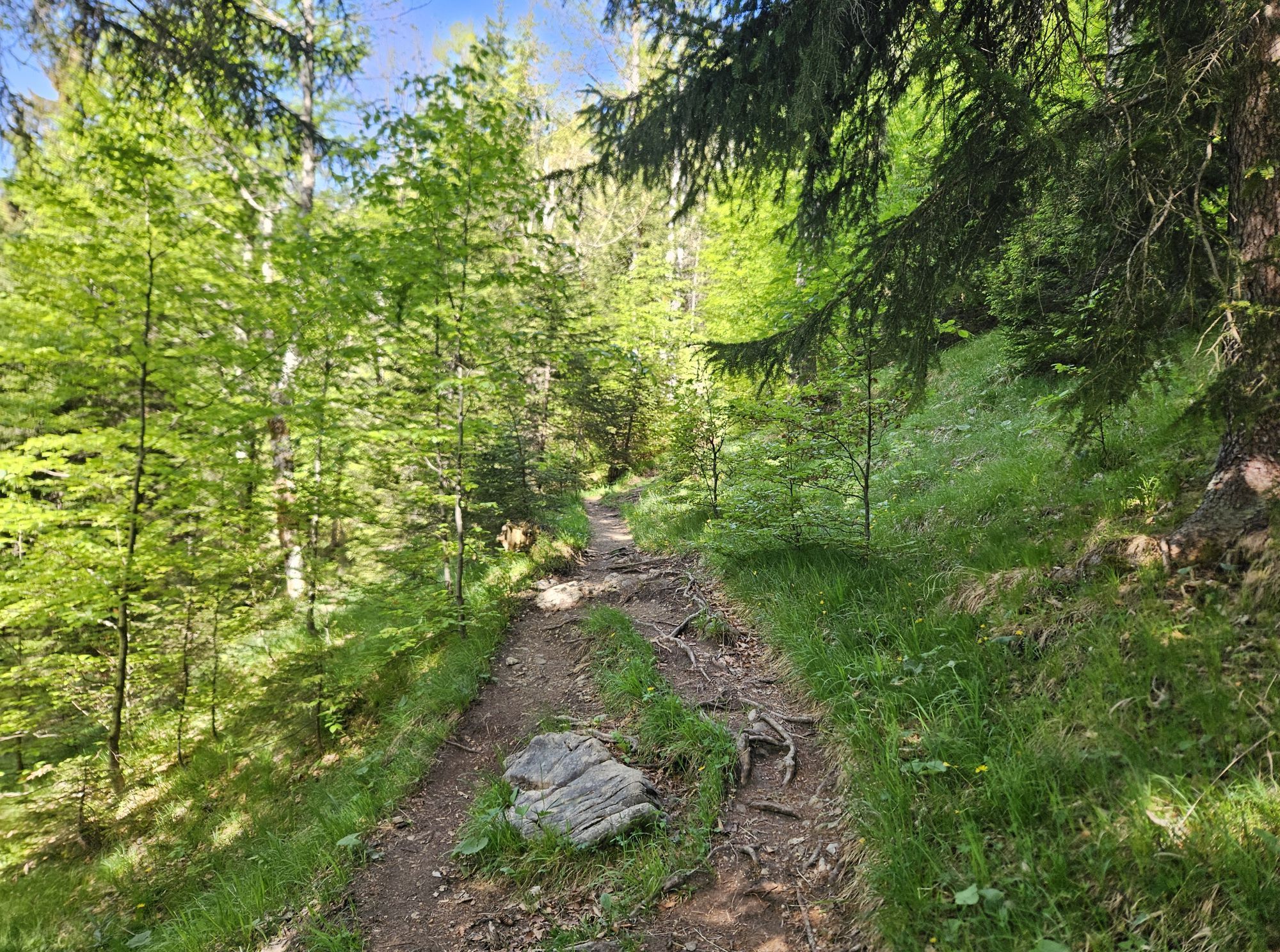
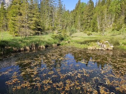
At the summer parking lot of the Scheinbergspitz, between Stockgraben and "Bei den sieben Quellen," follow the forest road north up the mountain. In the first large left curve, a small path into the mountain forest branches off. It winds up in switchbacks until you reach open meadows after some larch fields at about 500 meters of elevation gain.
You ascend the clearly visible summit formation through open terrain with light scree.
The descent follows the same route as the ascent.
Our recommendation:
Never get lost again - we recommend the free app "Zugspitz Region" which includes GPX tracks for all routes in the area.
Tak
Welcome to the Nature Park Test Room! Here you can extensively test hiking poles, daypacks, child carriers, and crampons from renowned manufacturers before deciding on a purchase. Let our team advise you to experience the best possible outdoor adventure. Our Nature Park Test Room can be found at the tourist information offices in Bad Bayersoien and Bad Kohlgrub as well as at the Drahtesel Rental Lukas Spindler in Oberammergau.
More information: www.ammergauer-alpen.de/teststubn
In an emergency, please contact the nearest rescue coordination center. Regardless of your location, you can reach it throughout Germany by calling 112.
A95, Ettal, Graswang over Ammersattel toward Plansee/Reutte
not accessible by public transport
Scheinberg Parking Lot (Summer), Granswang Valley
After the route, also visit the gardens of Linderhof Palace. It is especially quiet here in the evening, creating a fairytale atmosphere. (The palace park is not closed at night)
Aktywności na trasie
-

Scheinbergspitze
11.07.2026 – Wędrówka -

Ettaler Forst, Bavaria/Germany
28.06.2026 – Wędrówka -
Ettaler Forst, Bayern/Deutschland
20.06.2026 – Wycieczka wysokogórska -

Scheinbergspitz, Oberbayern/Deutschland
31.05.2026 – Wycieczki górskie -

Scheinbergspitze
25.05.2026 – Wycieczki górskie -

Ettaler Forst, Bayern/Deutschland
24.01.2026 – Wędrówka
Popularne wycieczki w okolicy
-
4,6
Mountain route - Teufelstättkopf
średniWędrówka 10,8 km -
4,1
Drehhütte
światłoWędrówka 3,34 km -
4,5
Circular hike Dreh- and Rohrkopfhütte
światłoWędrówka 8,76 km -
4,9
Tegelberg | Branderschrofen | Neuschwanstein
średniWędrówka 14,8 km -
4,4
Rundwanderung Stuibenfälle
średniWędrówka 3,92 km -
4,6
Yellow Wall Trail, Tegelberg (A)
średniVia ferrata 3,65 km -
4,3
Cultural trail Schutzengelweg
średniWędrówka 5,13 km -
4,8
Schafkopf
światłoWędrówka 10,2 km -
3,6
Rundwanderung Plansee
średniWędrówka 9,80 km -
4,2
Mountain tour - Kofel
średniWędrówka 11,3 km
Wędrówki i tropienie


Nie przegap ofert i inspiracji na następne wakacje
Twój adres e-mail została dodana do listy mailingowej.





