


Mountain tour - Kofel
As soon as you tackle the ascent to the Kofel, you are on historically interesting ground.
On the left at the Döttenbichl, numerous objects have been found that originate from the 19th Roman Legion. It...
As soon as you tackle the ascent to the Kofel, you are on historically interesting ground.
On the left at the Döttenbichl, numerous objects have been found that originate from the 19th Roman Legion. It passed here in 15 BC during the Alpine campaign under the command of Drusus and was later destroyed by Varus in the Teutoburg Forest.
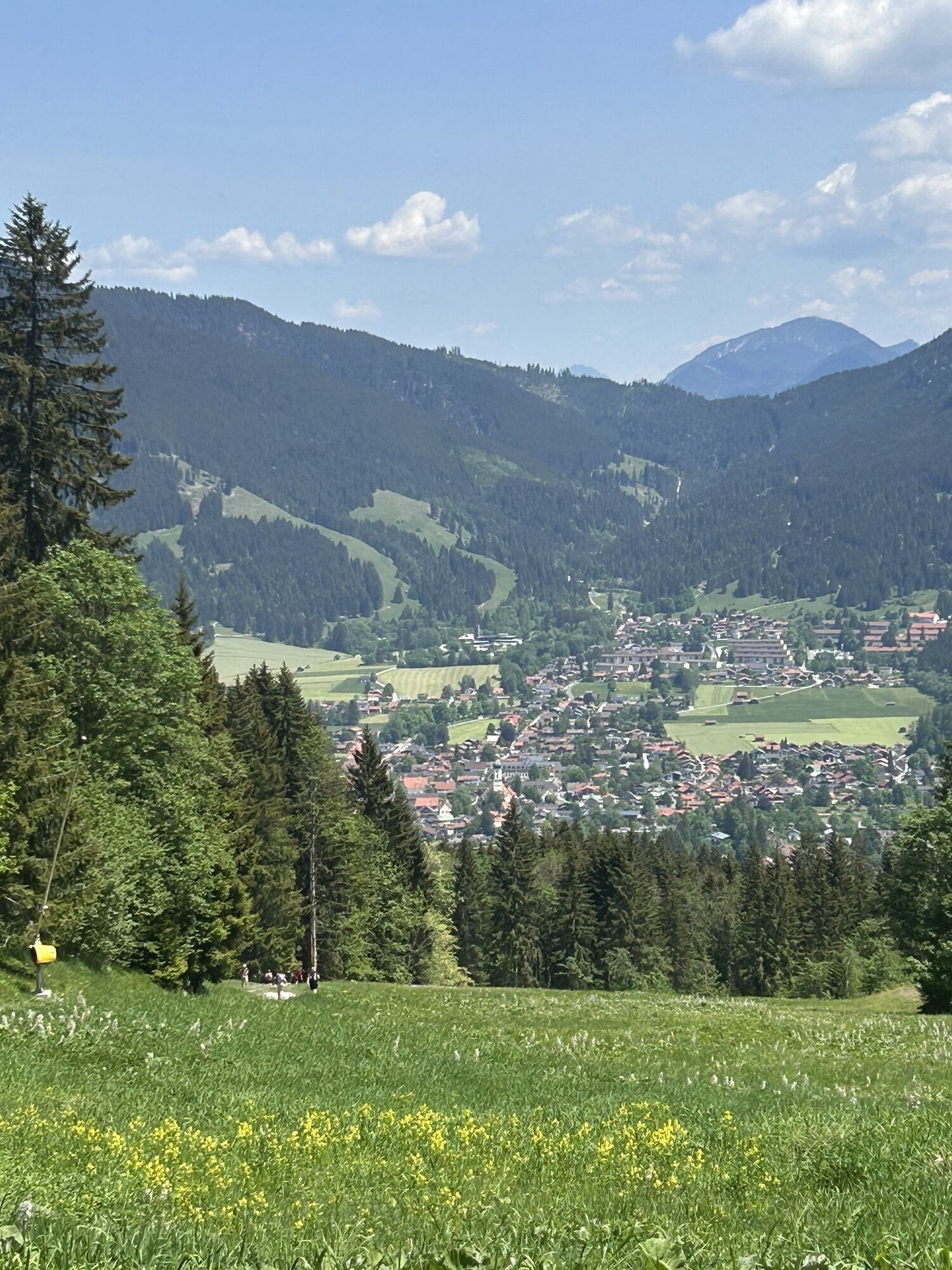
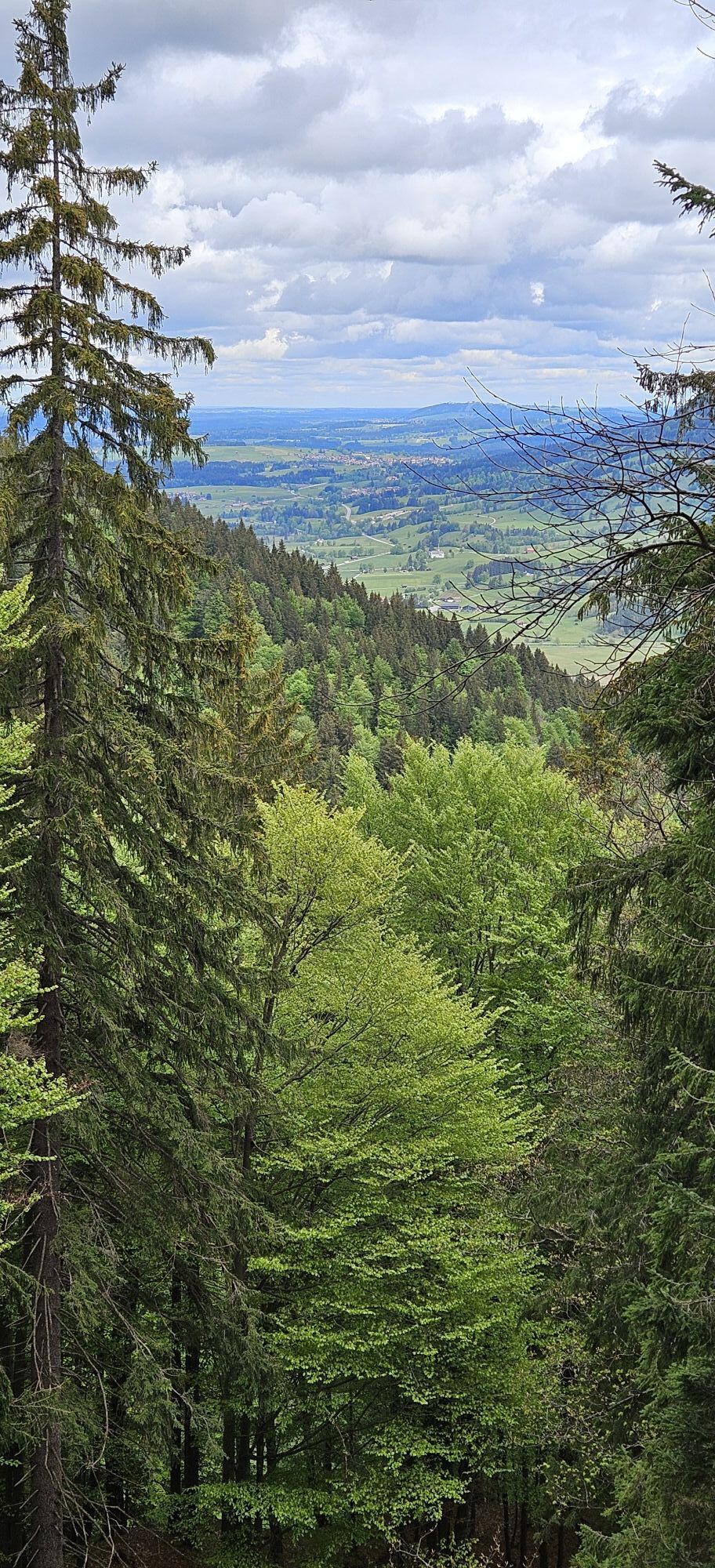
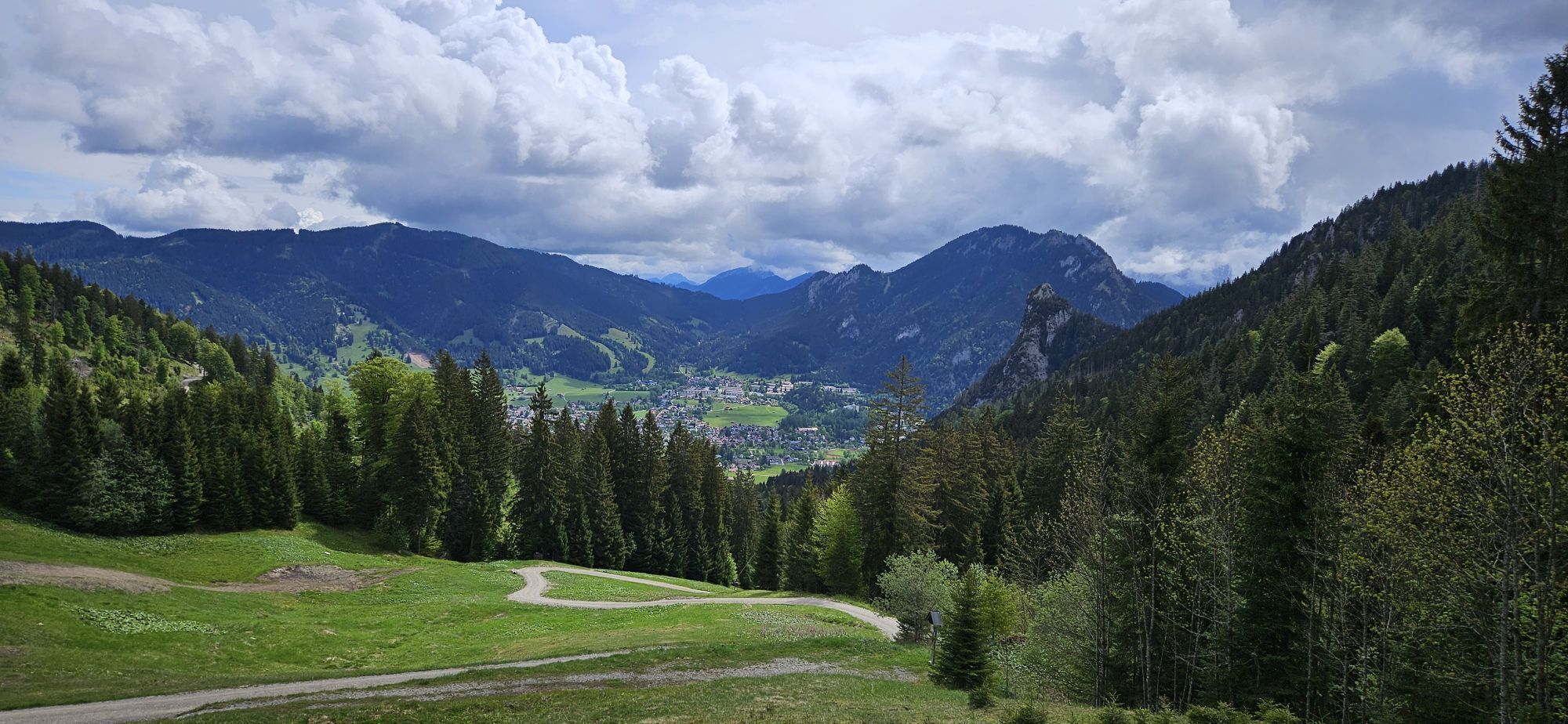
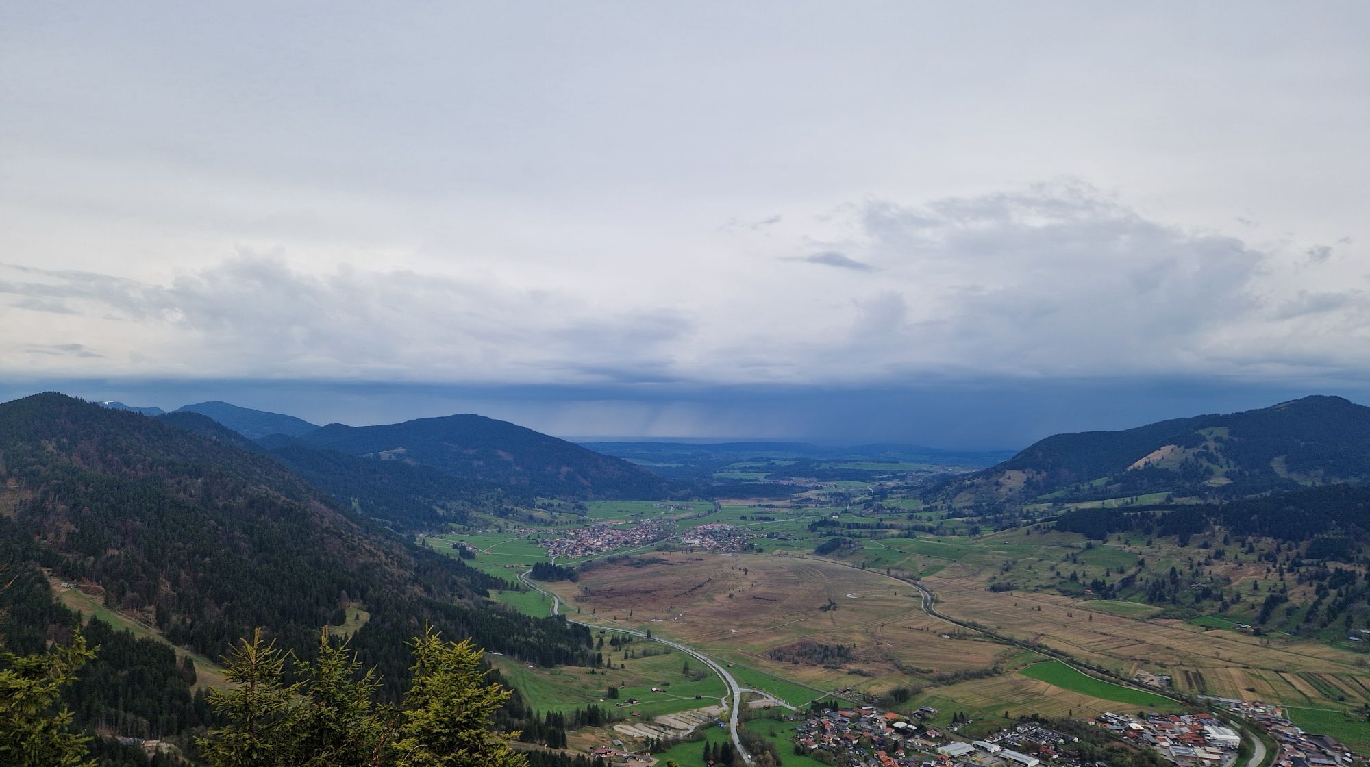
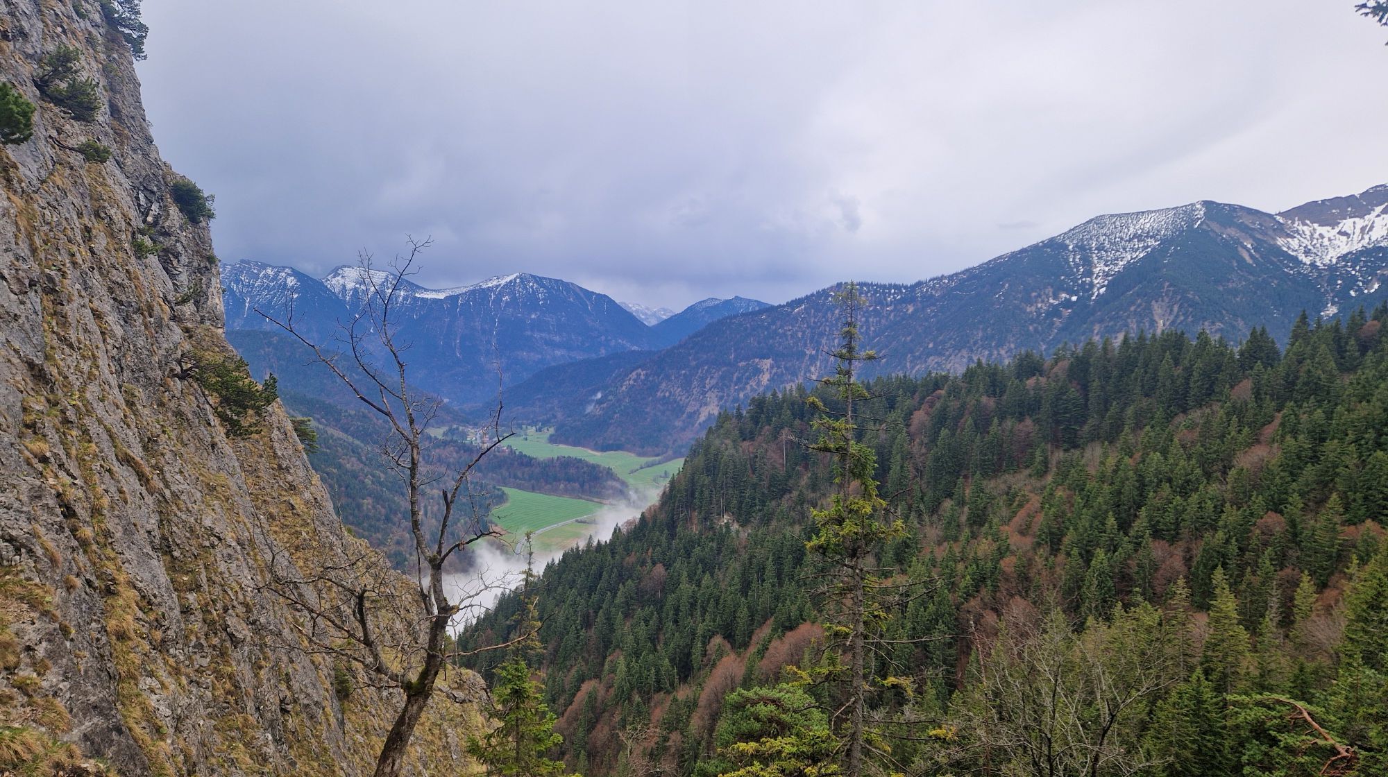
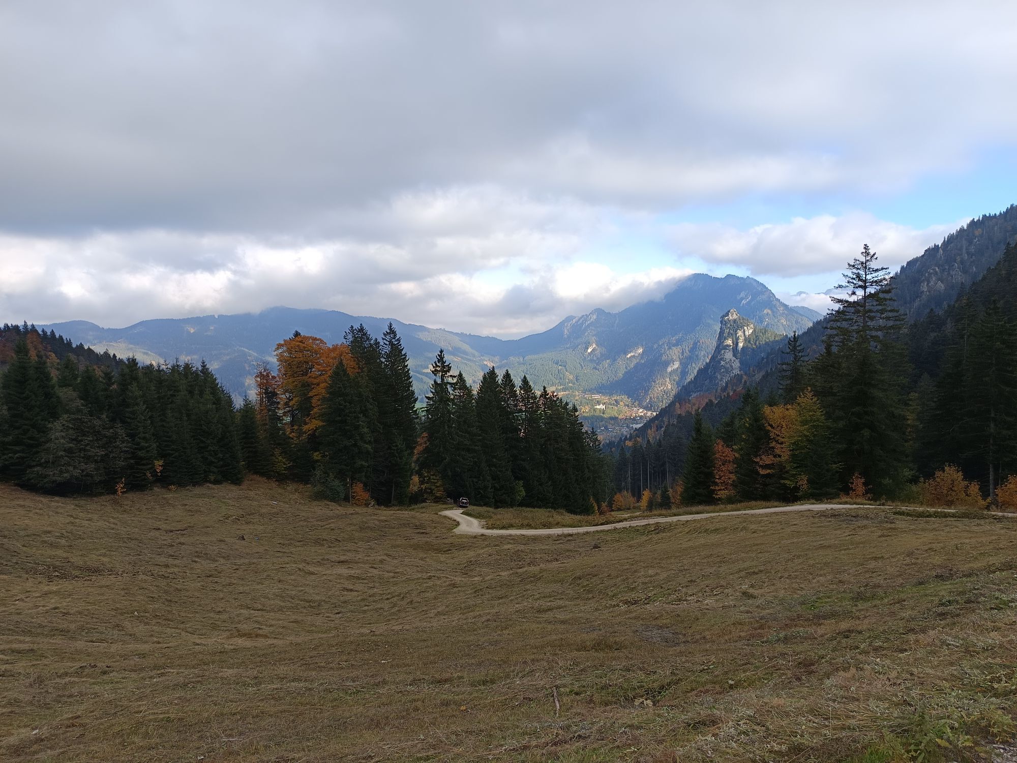
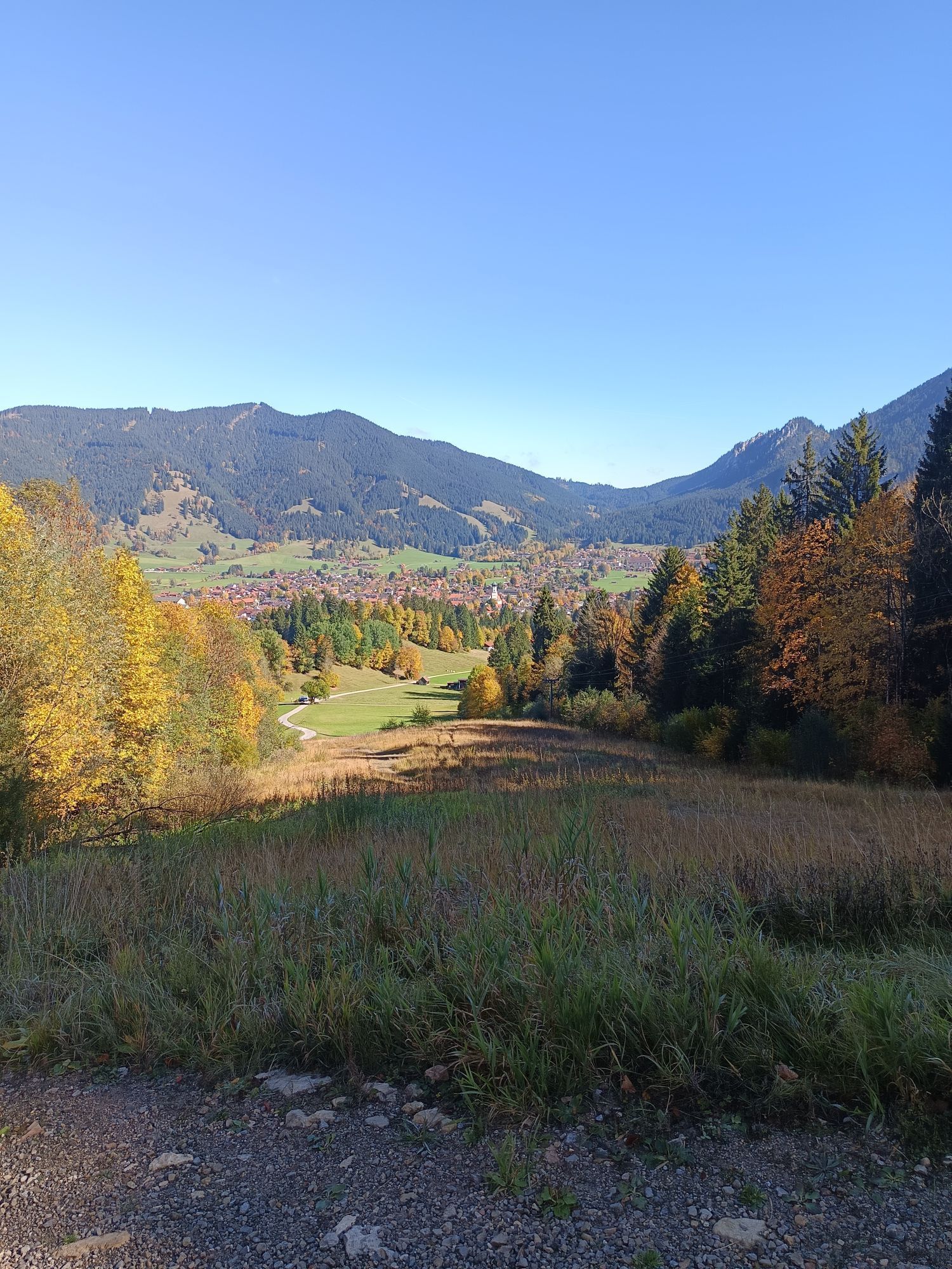
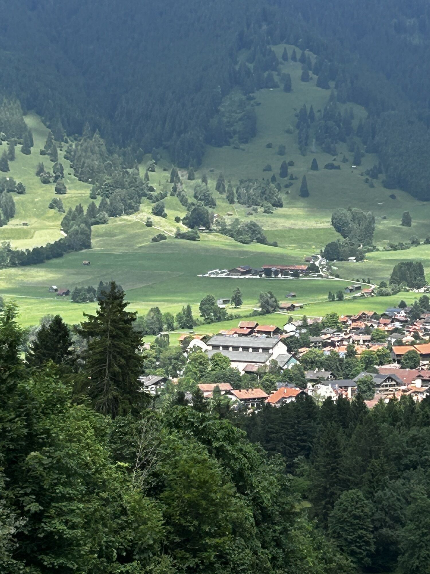
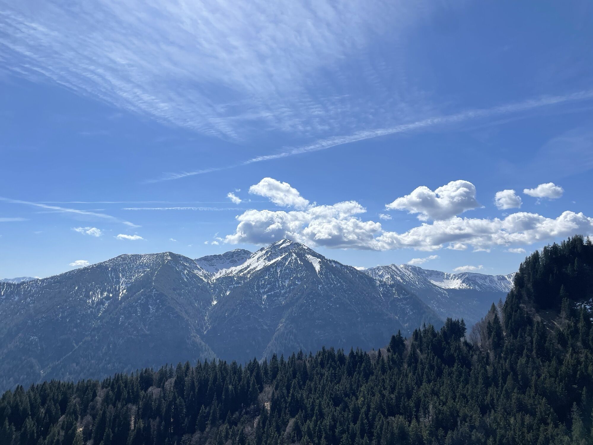
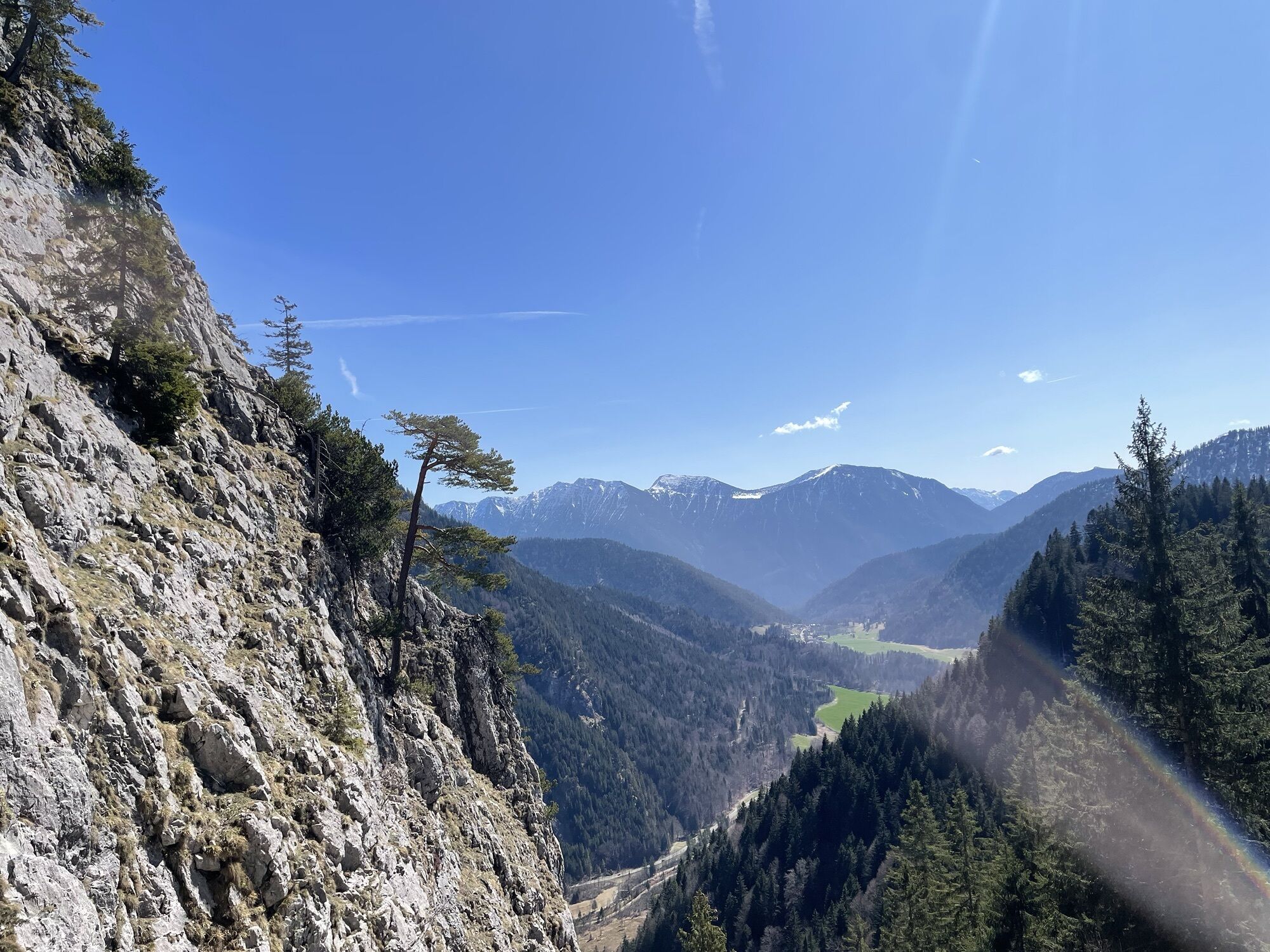
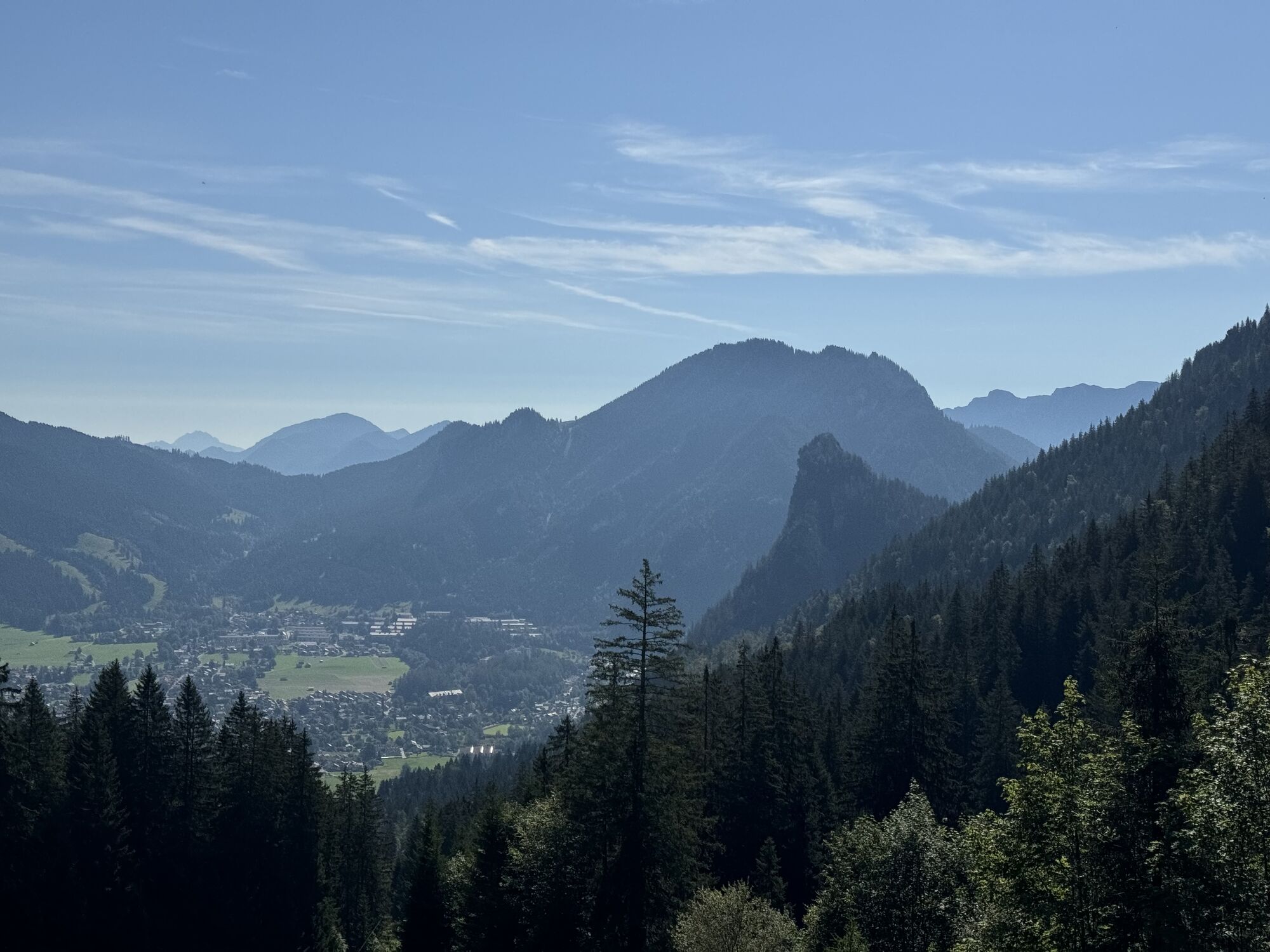
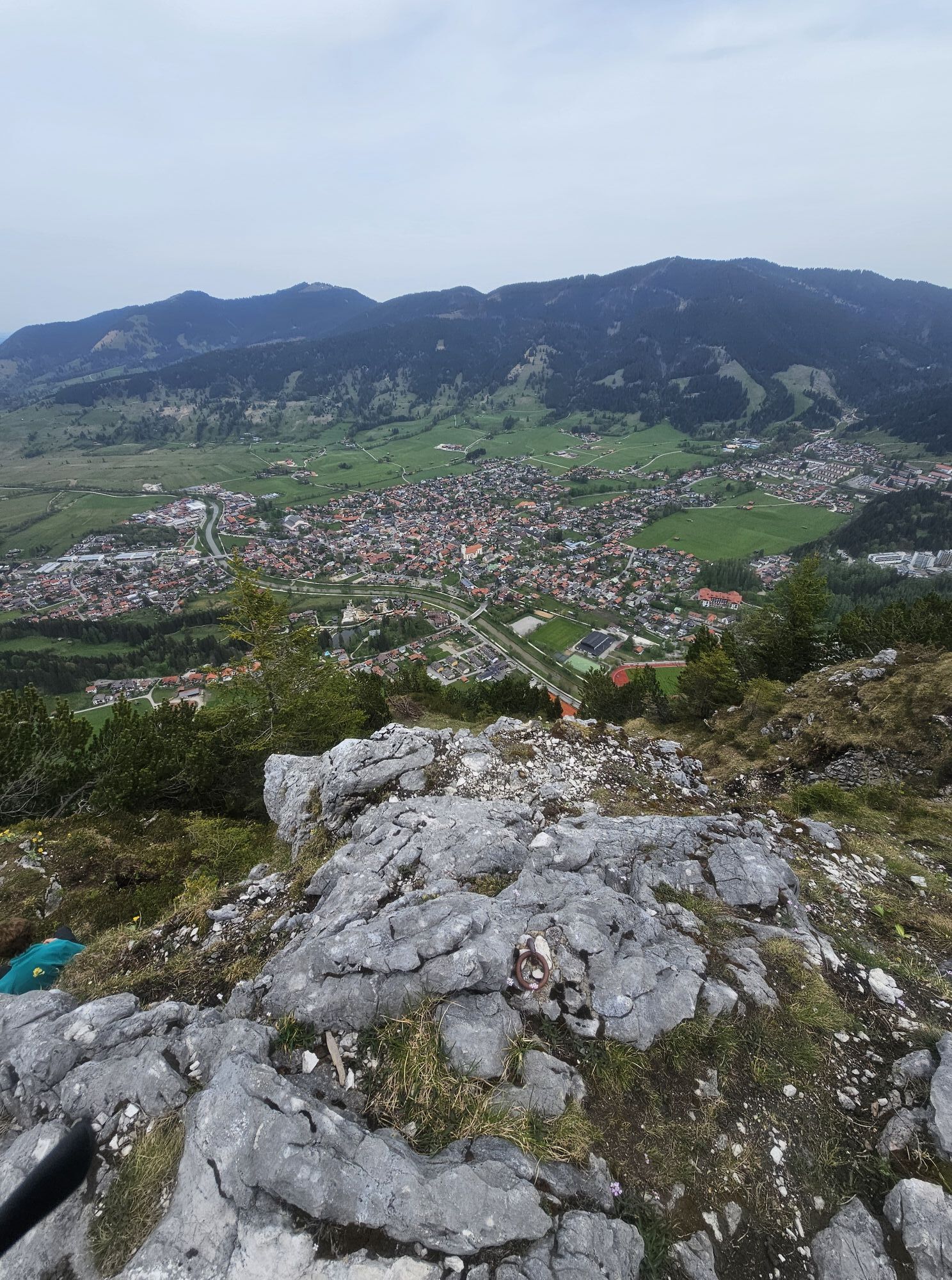
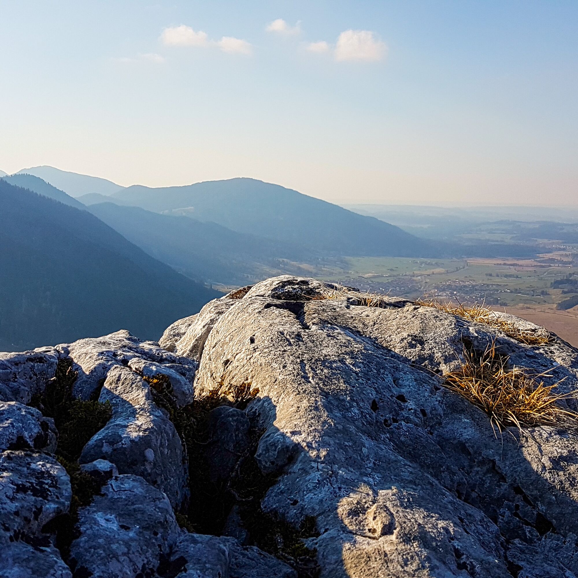
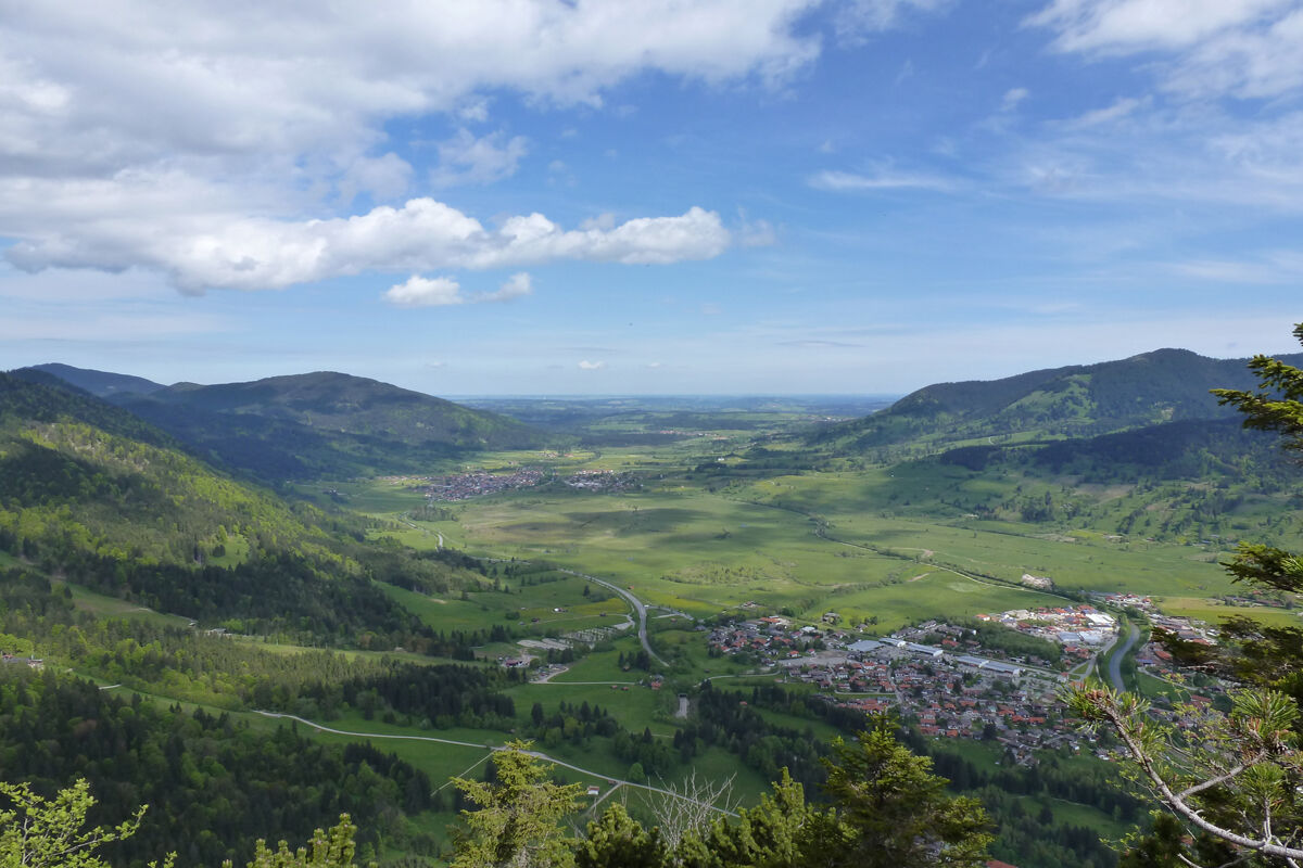
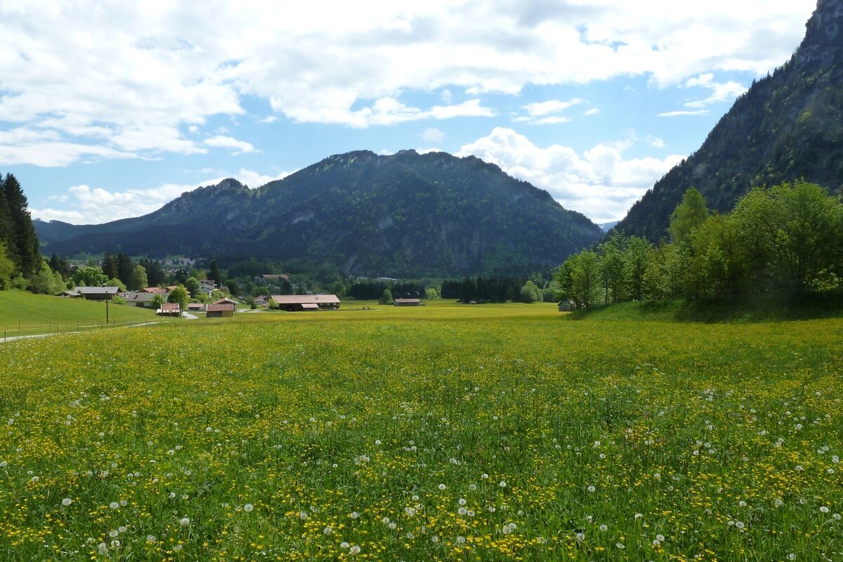
From the Kofel summit, you have a sublime view in several directions. To the north on the Pulvermoos and the Ammertal, to the southeast on the Weidmoos. These two raised bogs originated from a glacial lake during the ice age. The rock-free, forested meadow to the east was hardly wooded 100 years ago - more than 1000 cattle and sheep grazed on its slopes.
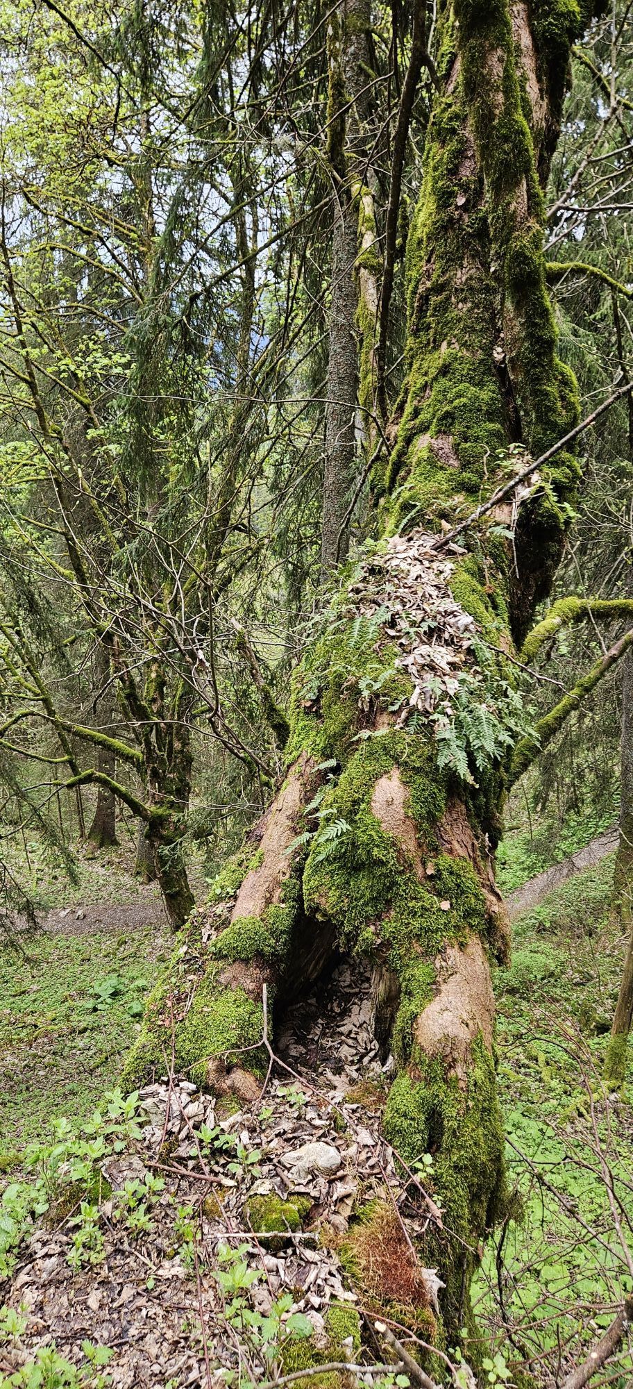
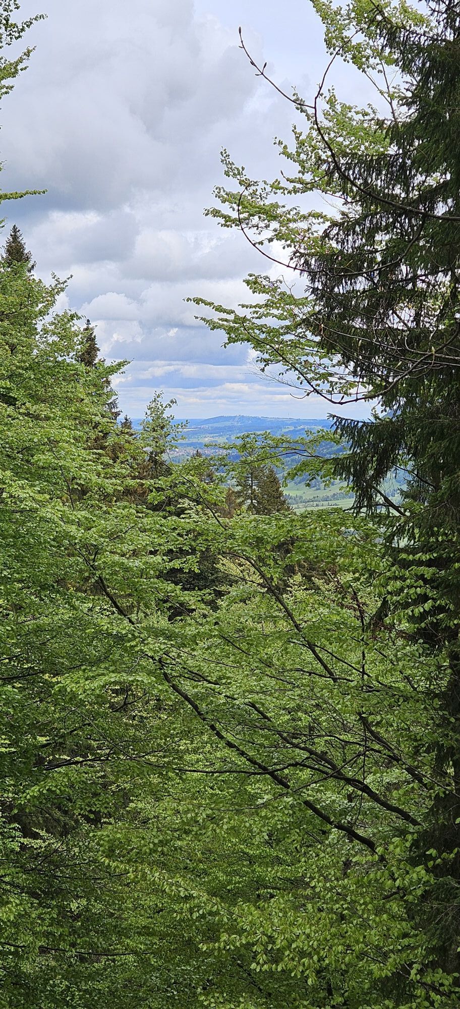
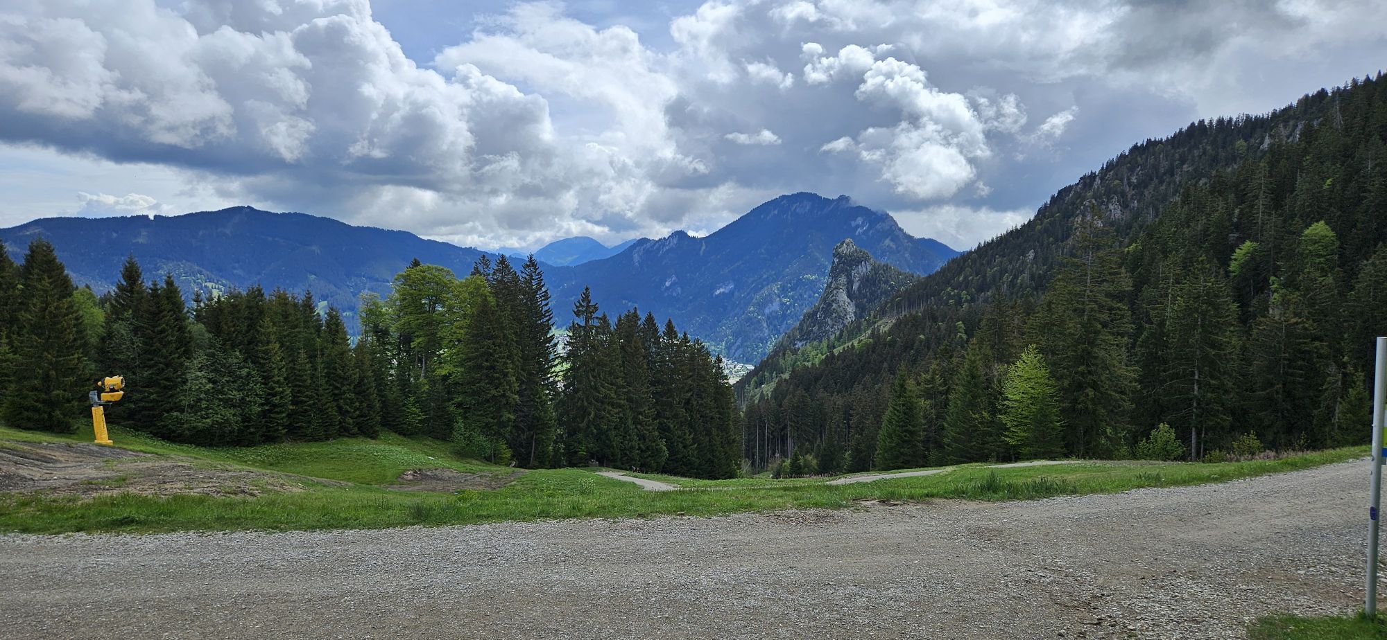
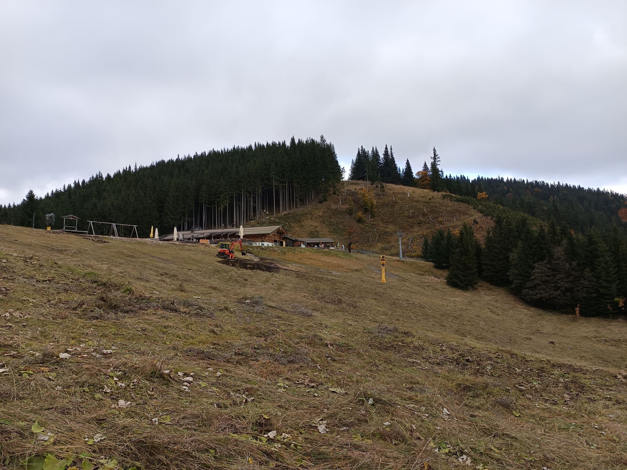
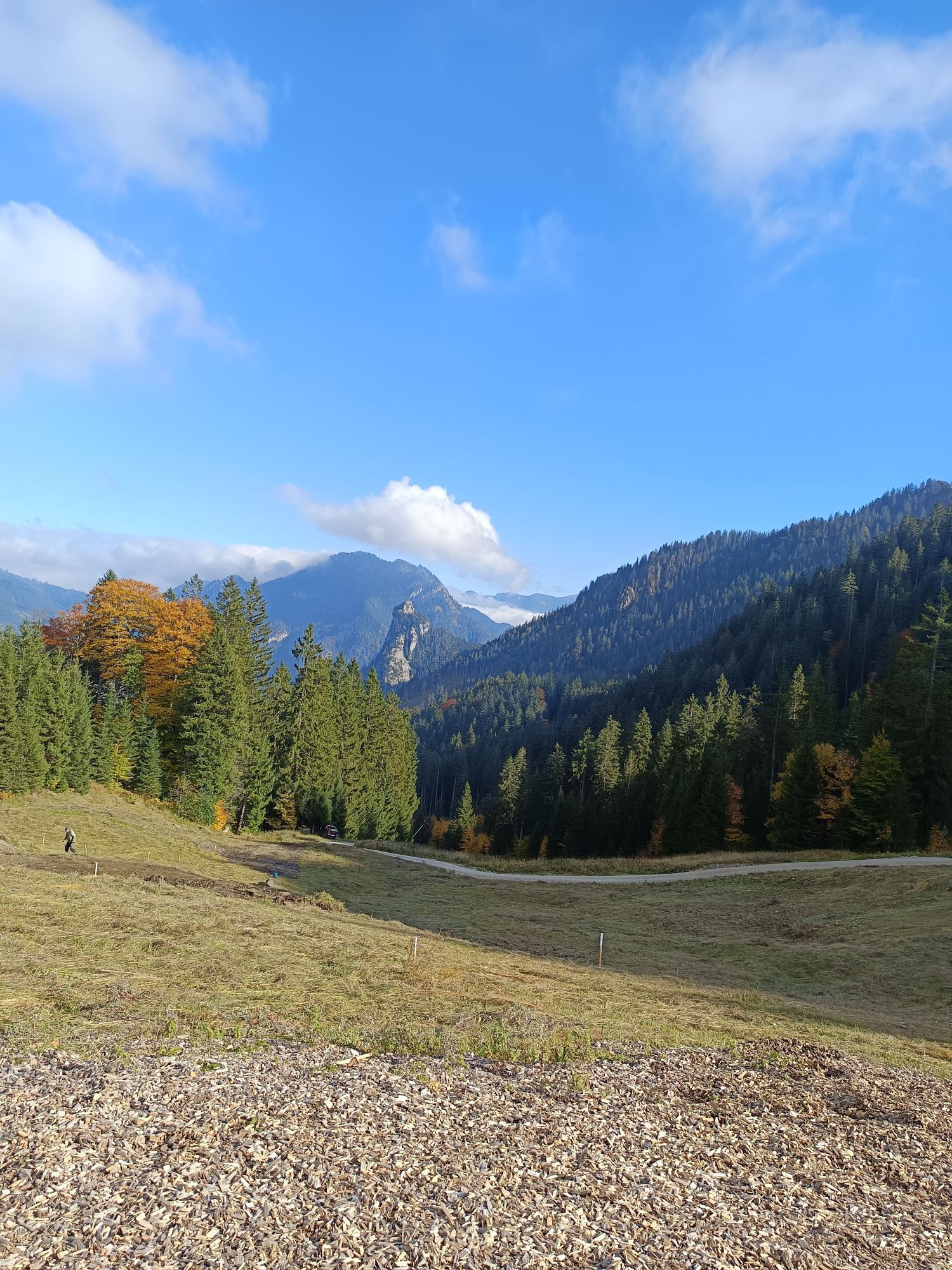
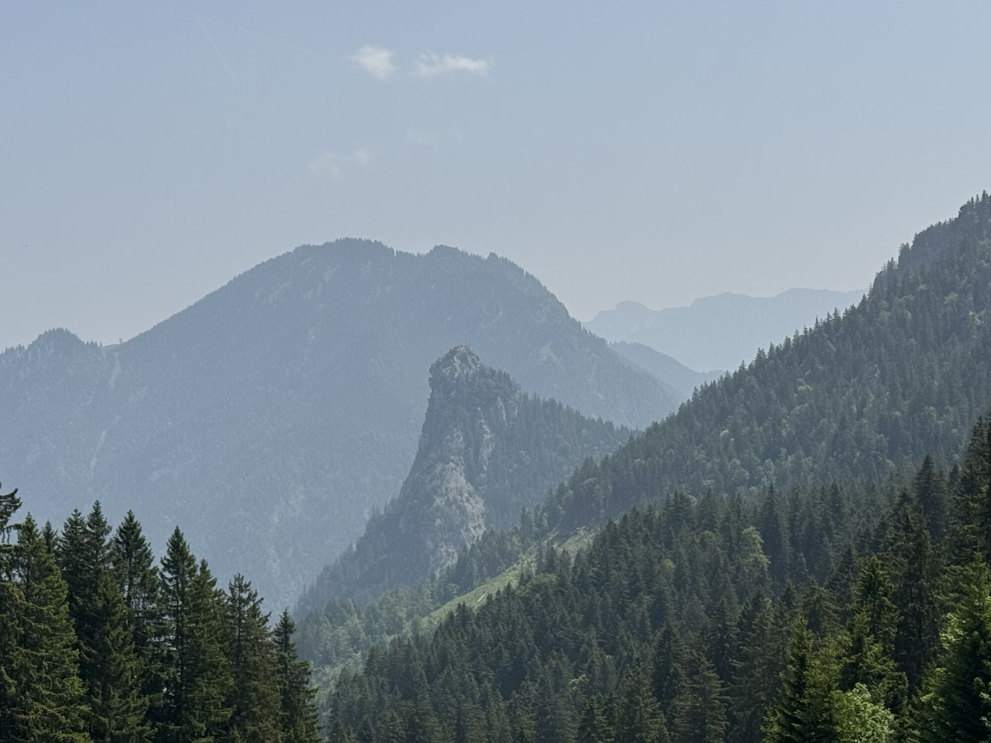
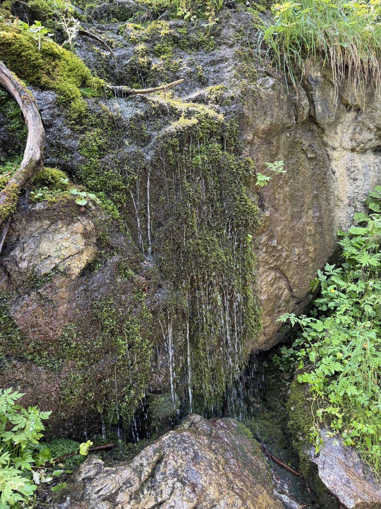
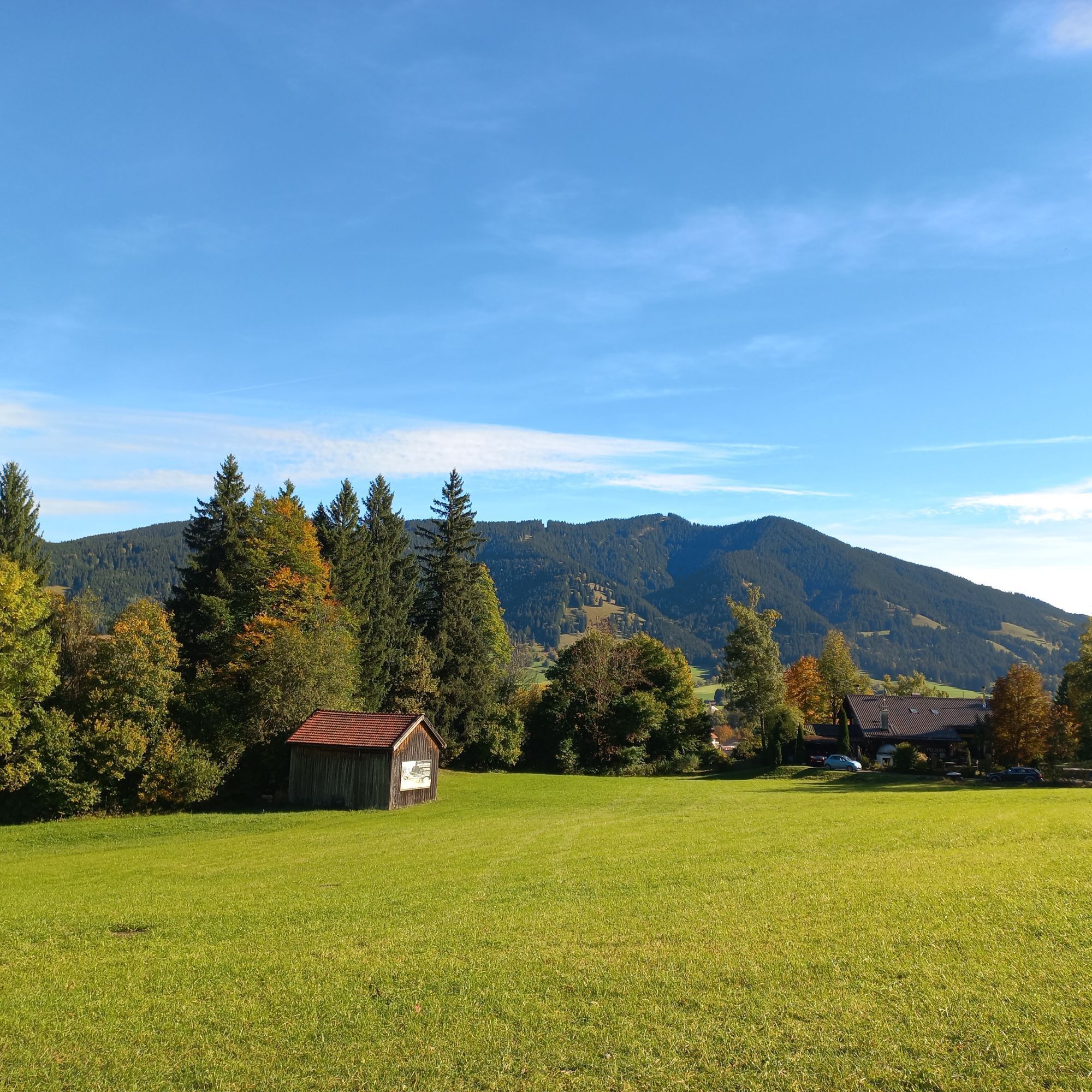
You can also enjoy the beautiful view on the high-level path over to the Kolbensattel hut. The path leads through shady mountain mixed forest. This forest type is typical for the Northern Alps and consists of spruce, beech, silver fir, sycamore maple, elm, and ash.
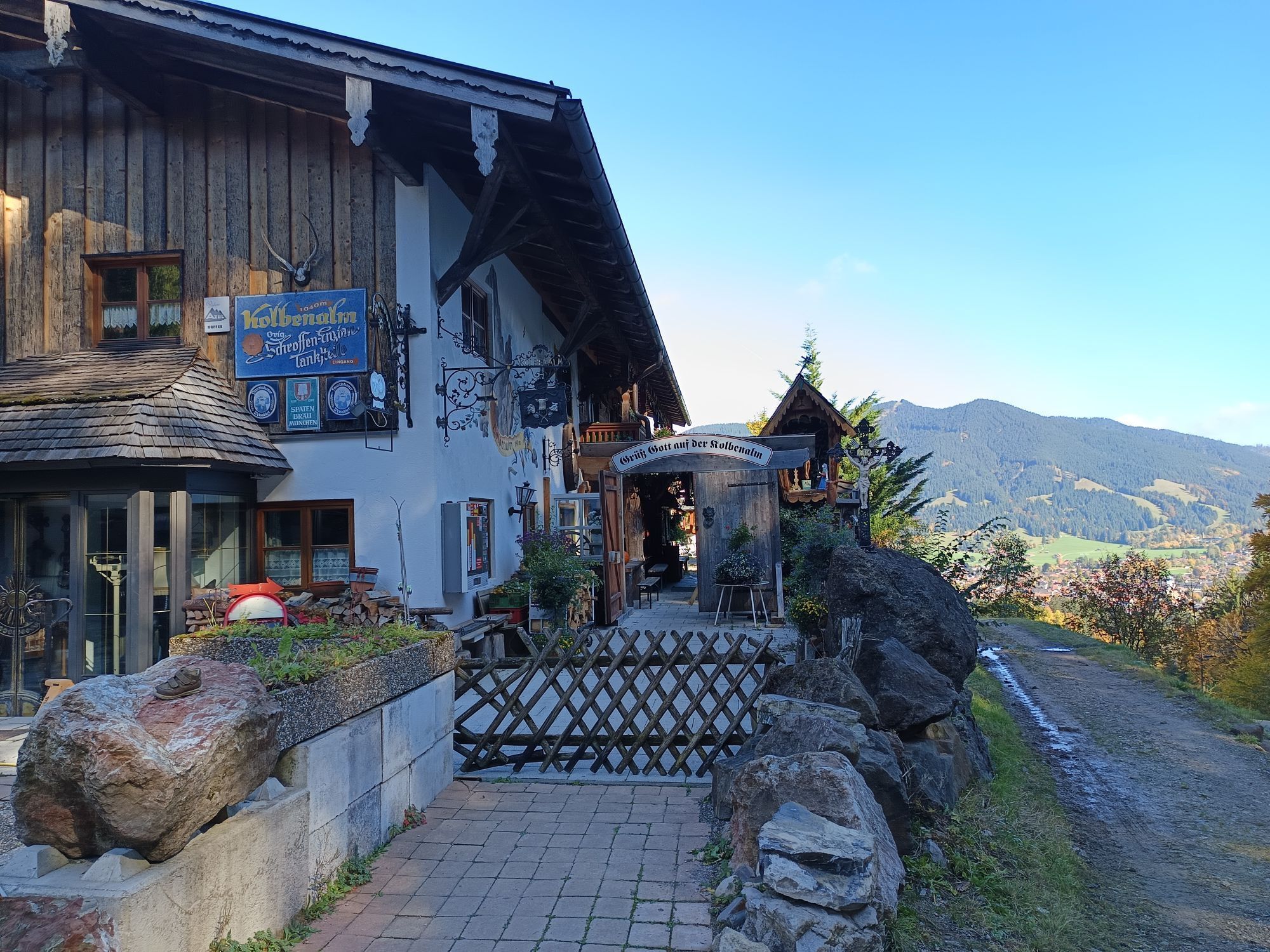
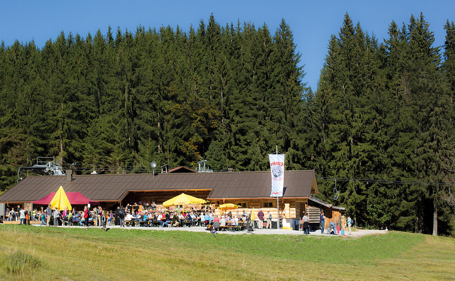
At the destination, you have stunning views into the Ammertal, which you can enjoy on the sun terrace of the Kolbensattel hut with cool drinks and Bavarian delicacies.
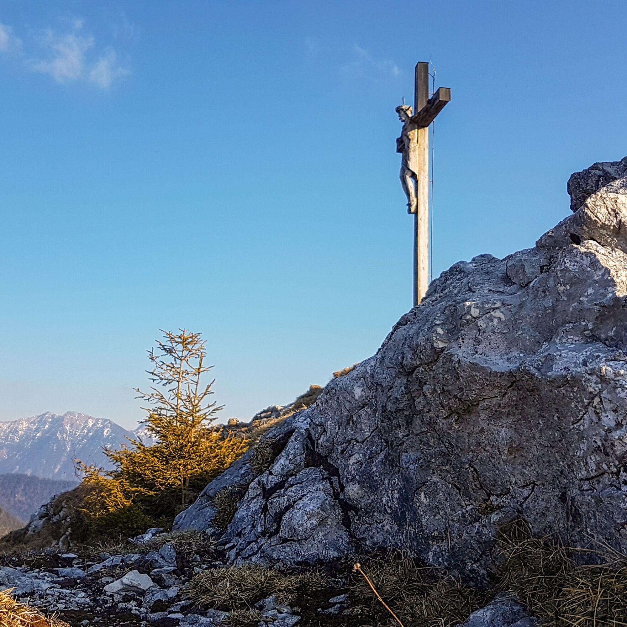
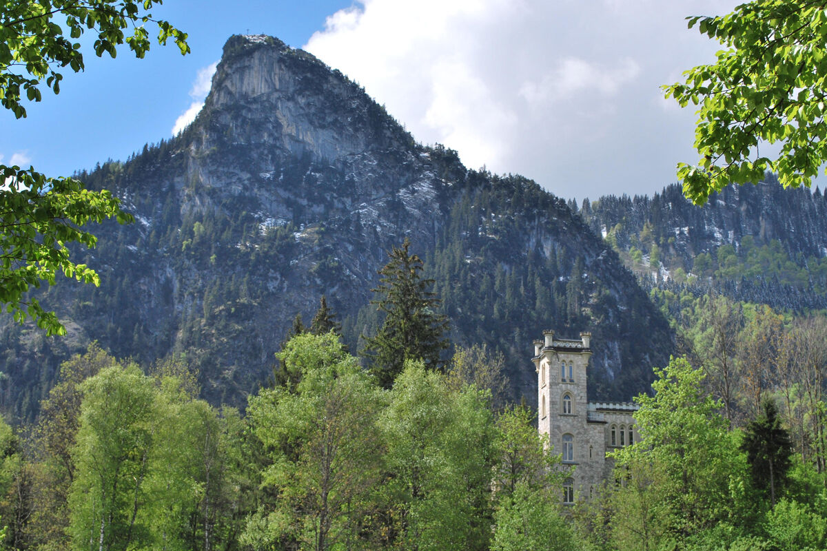
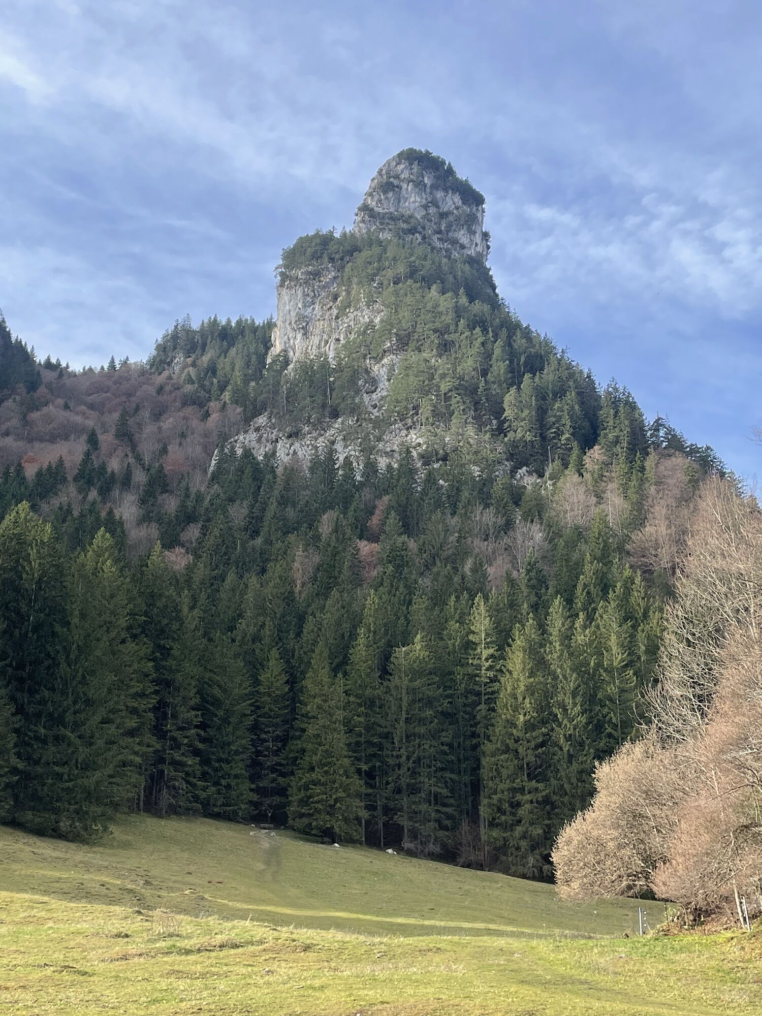
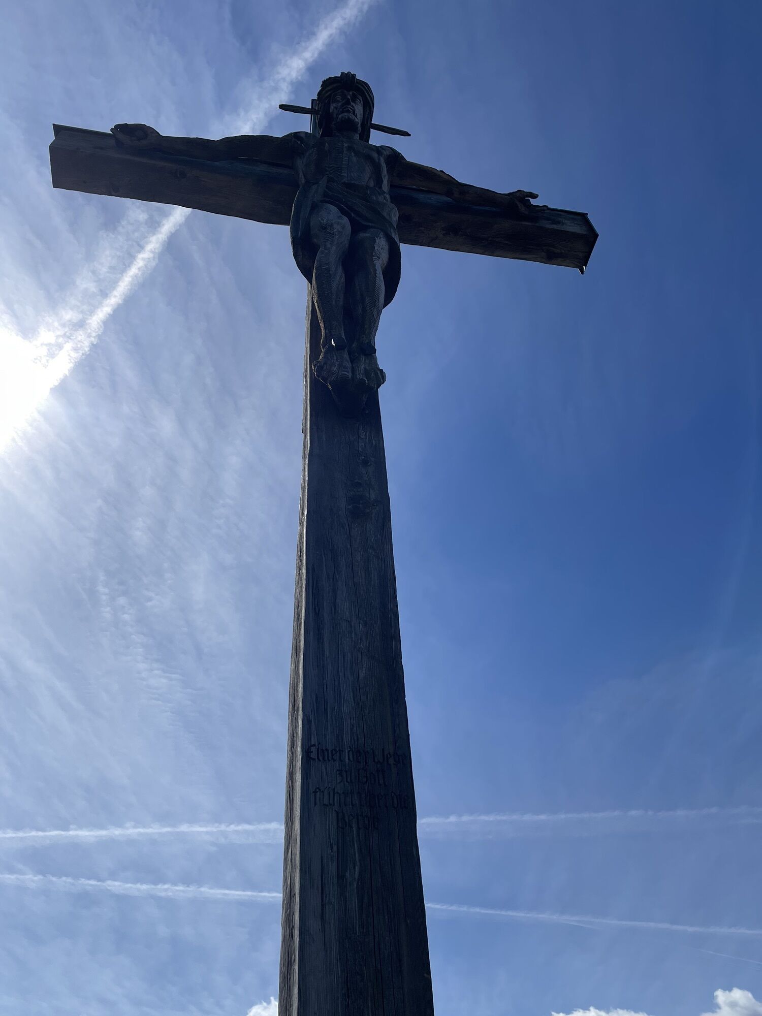
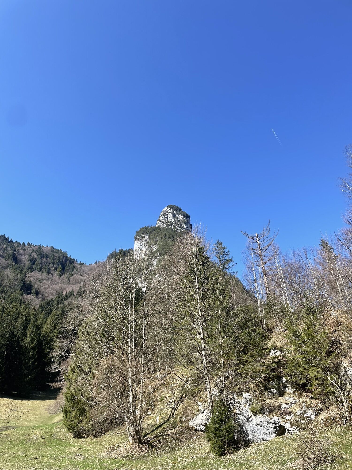
The Kofel (1342 m) is also called the Oberammergau Matterhorn by locals. This striking peak is a scenic intermediate destination on our way to the Kolbensattel hut.
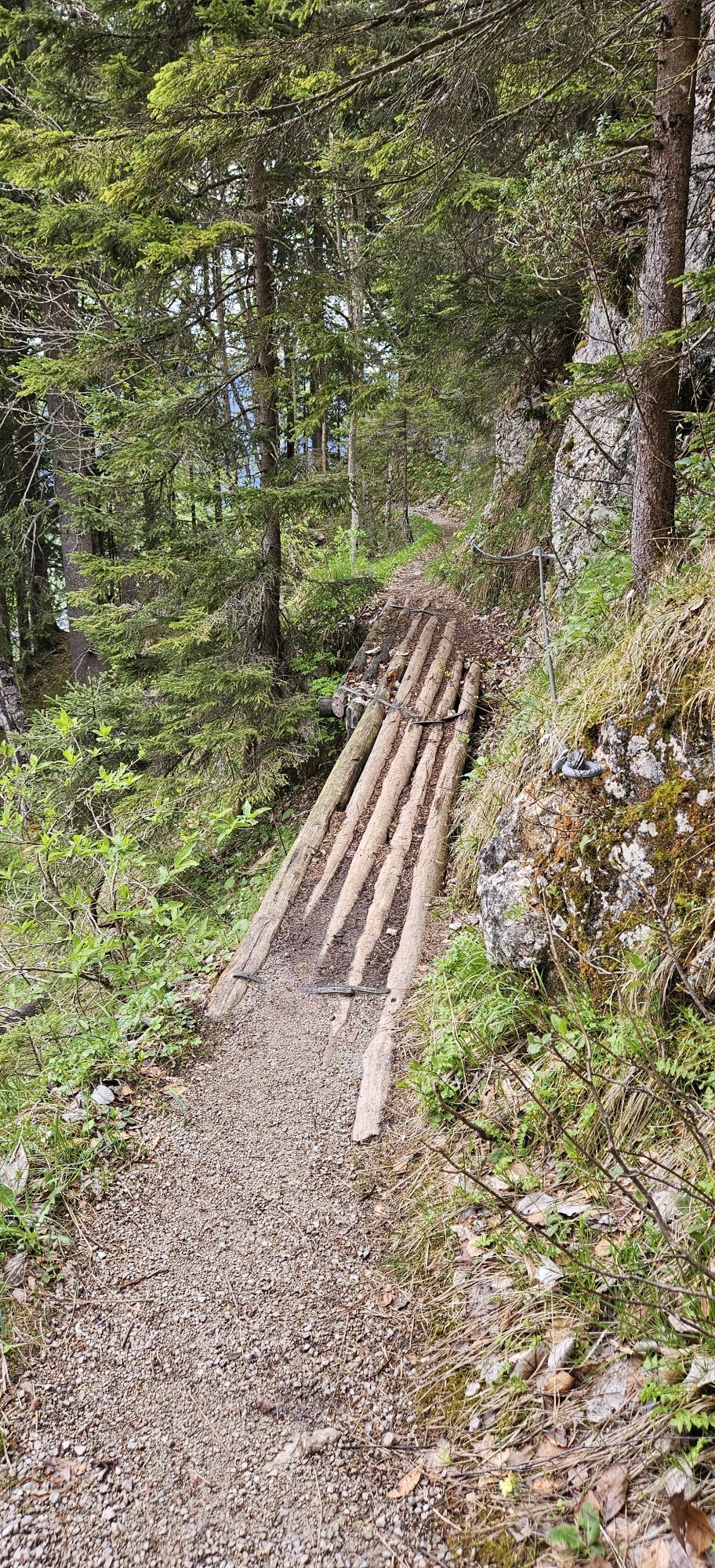
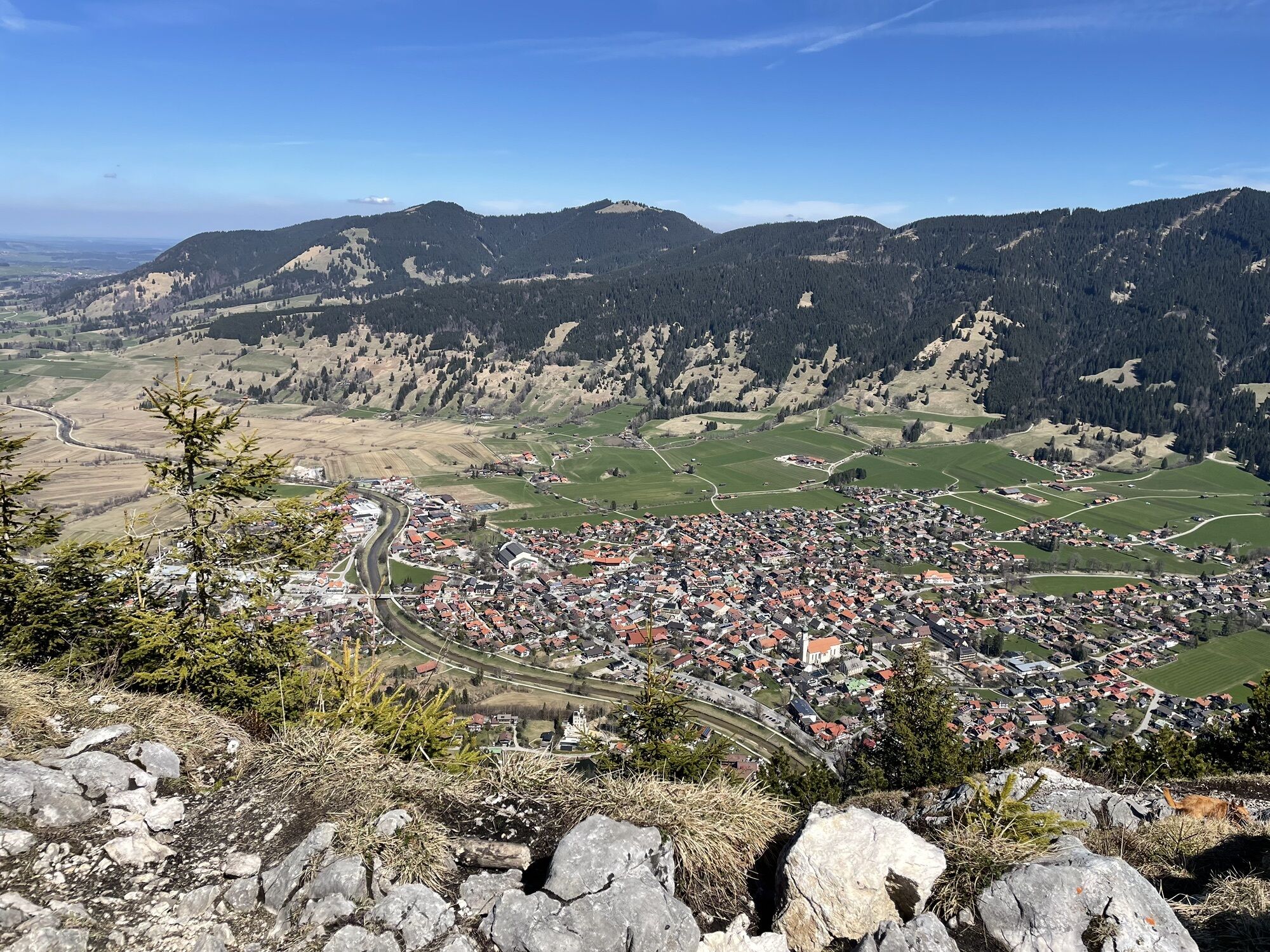
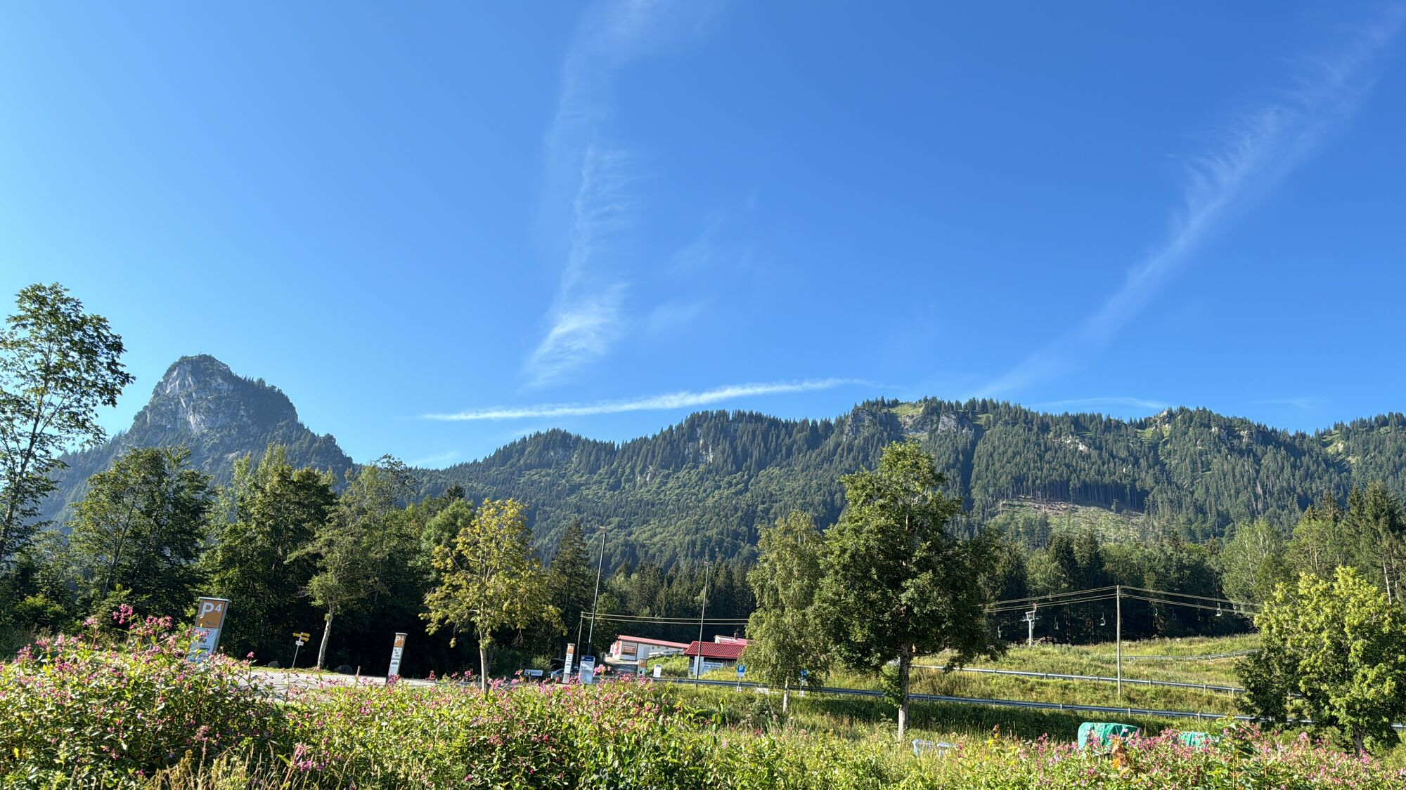
From the valley station of the Kolbensesselbahn in Oberammergau, you first pass the bike park to the Grottenweg and continue on to the Döttenbichl.
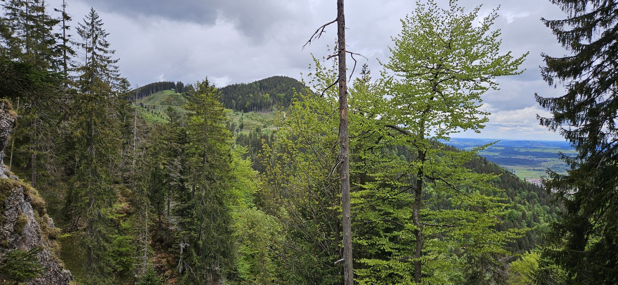
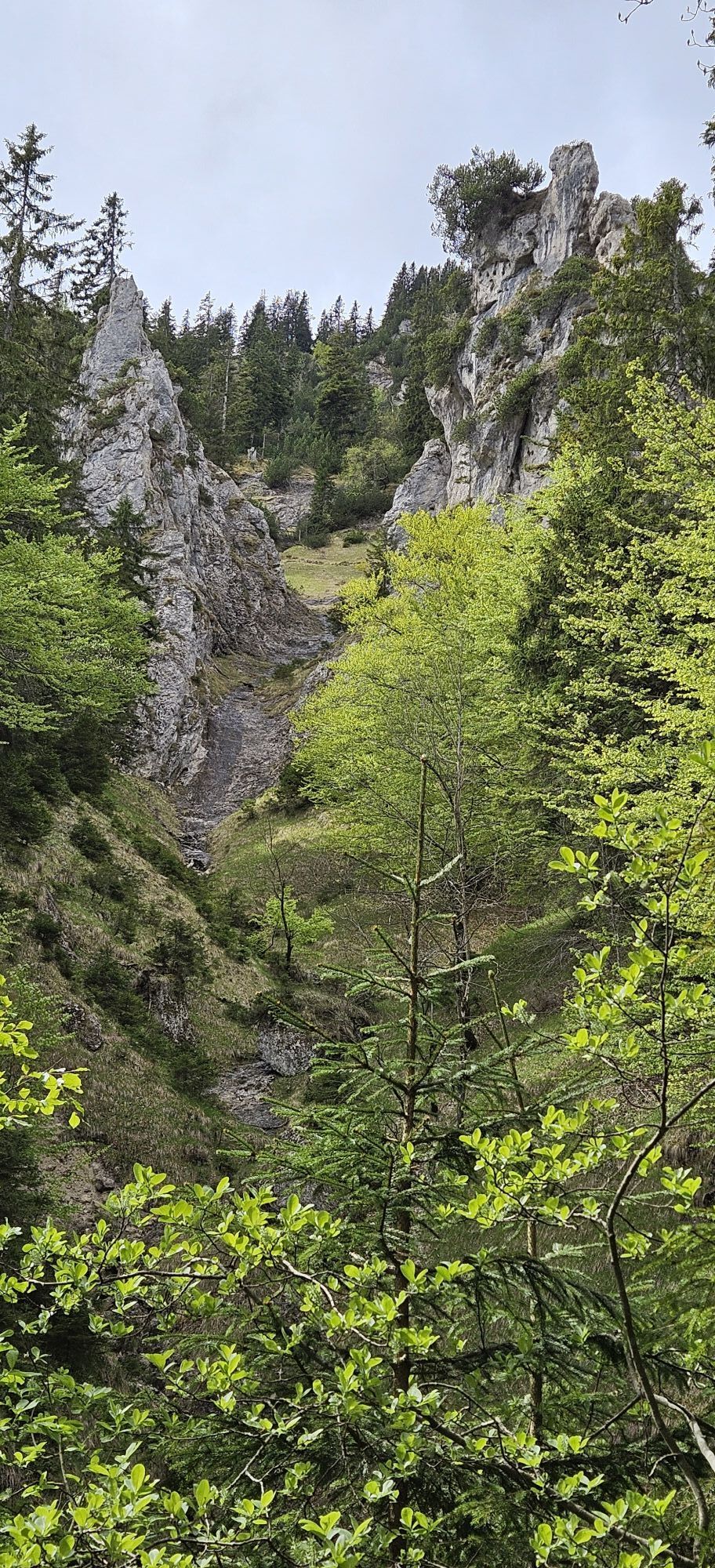
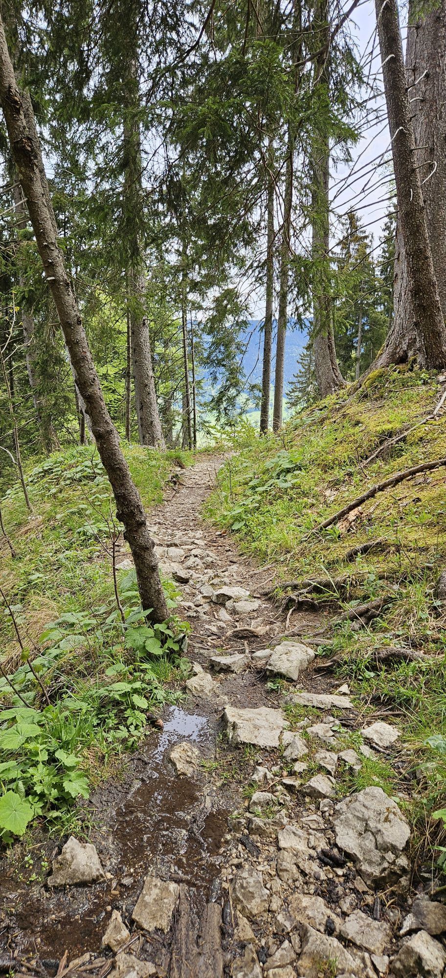
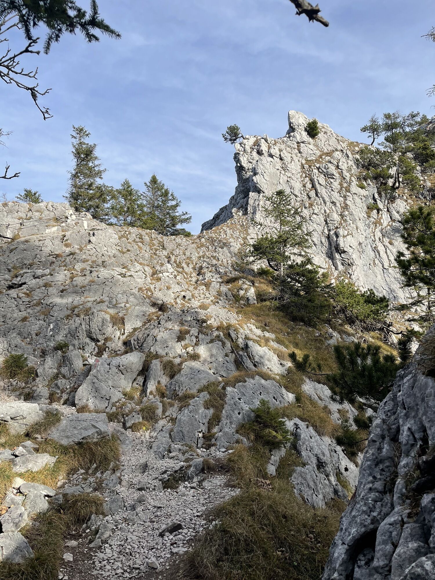
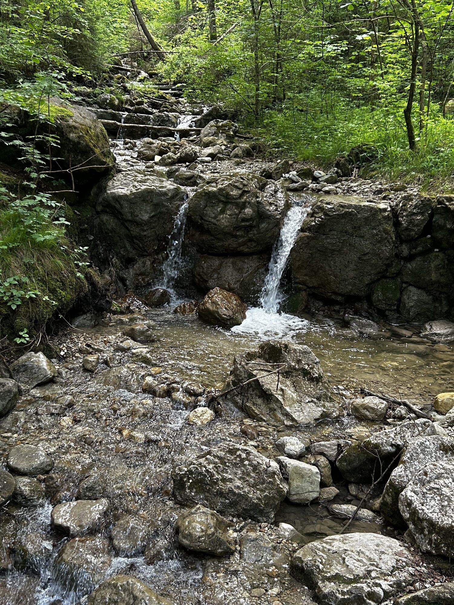
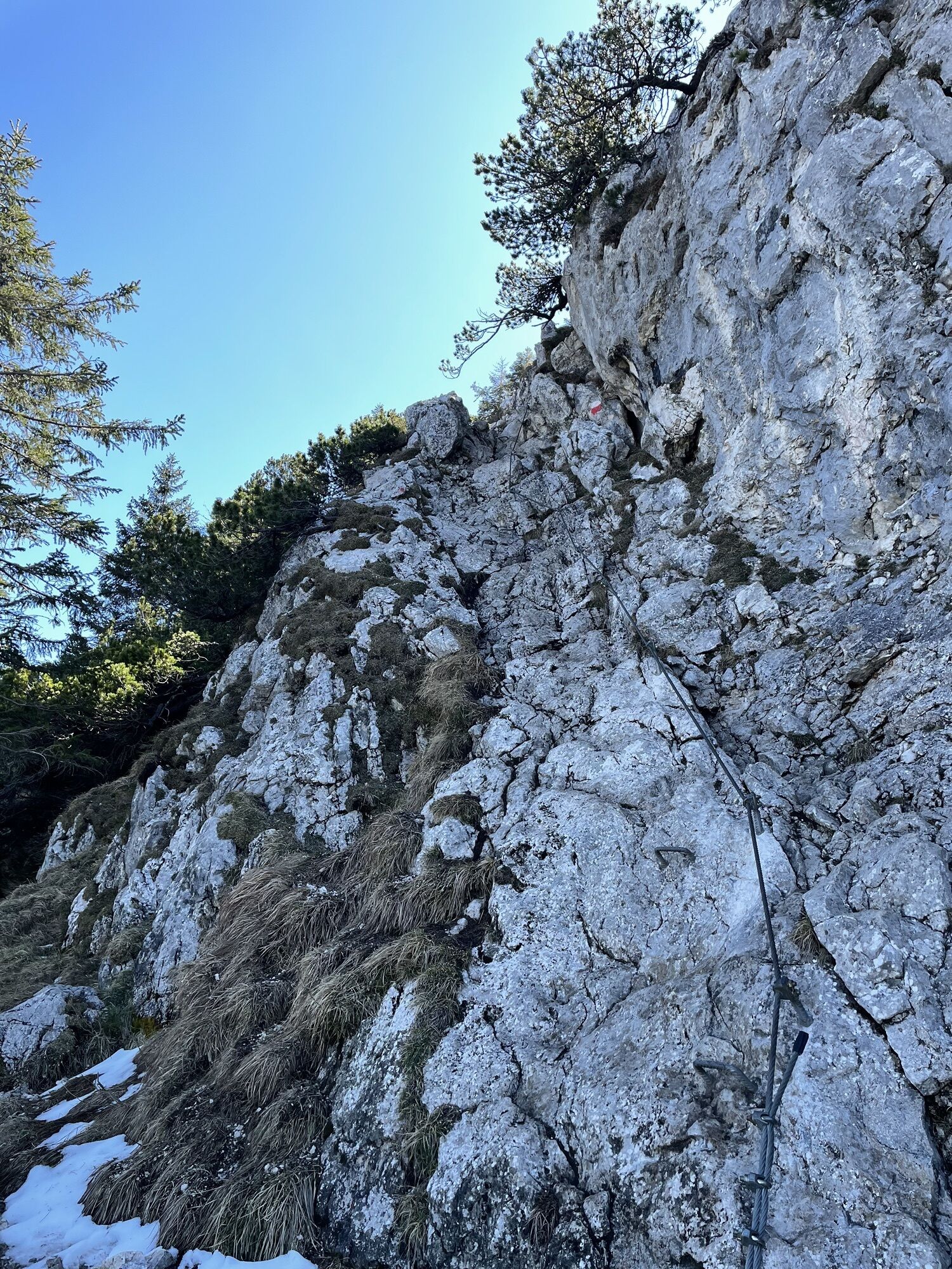
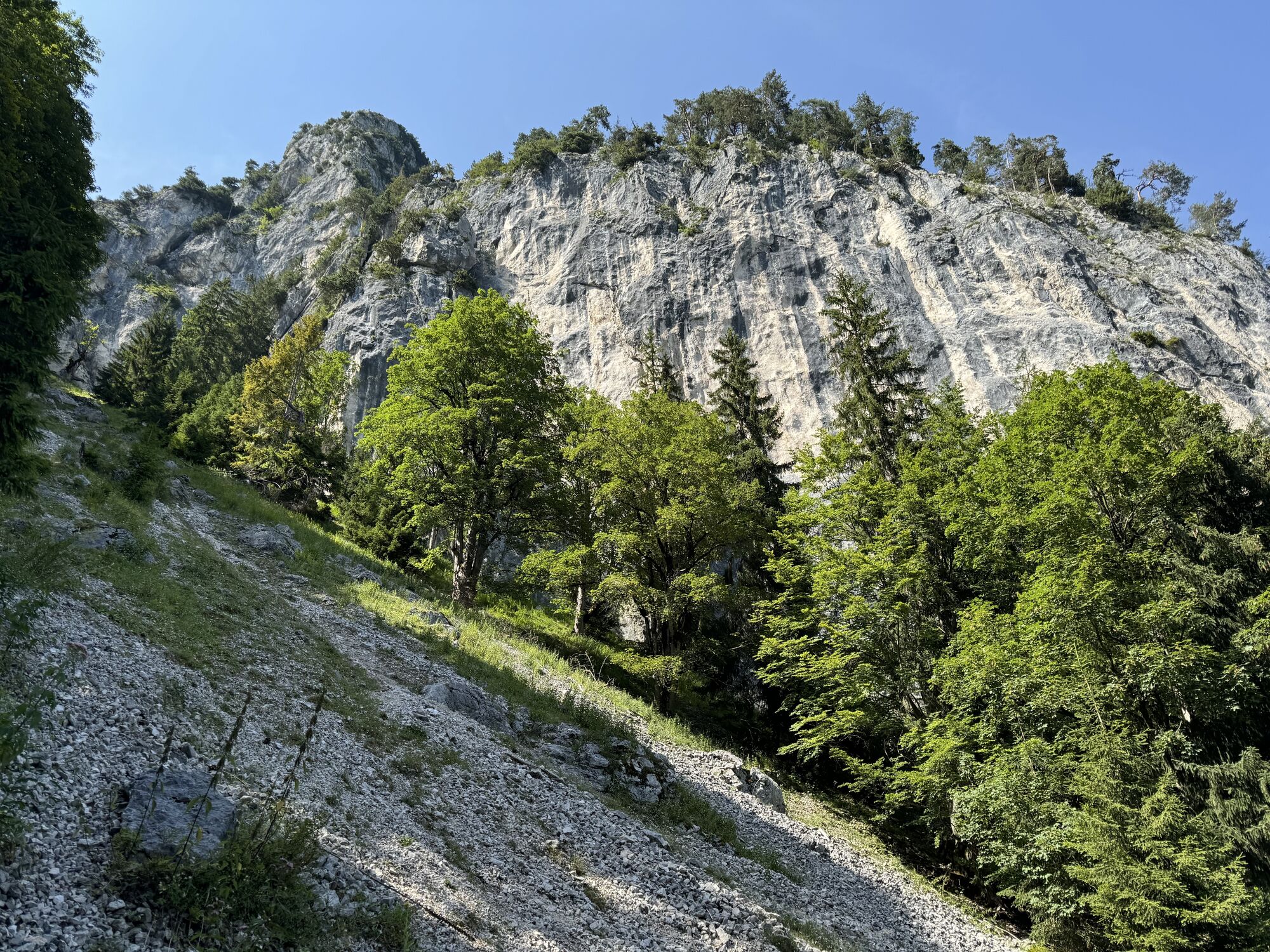
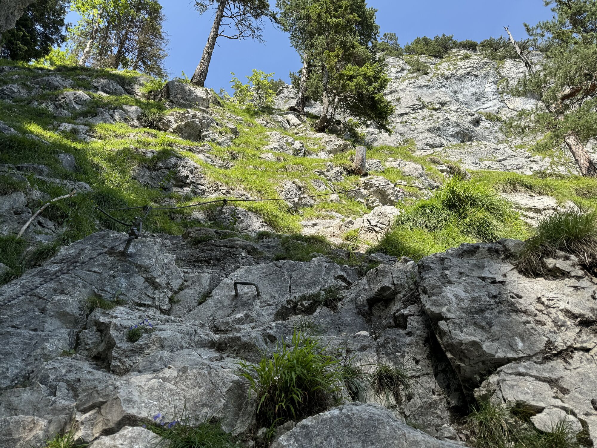
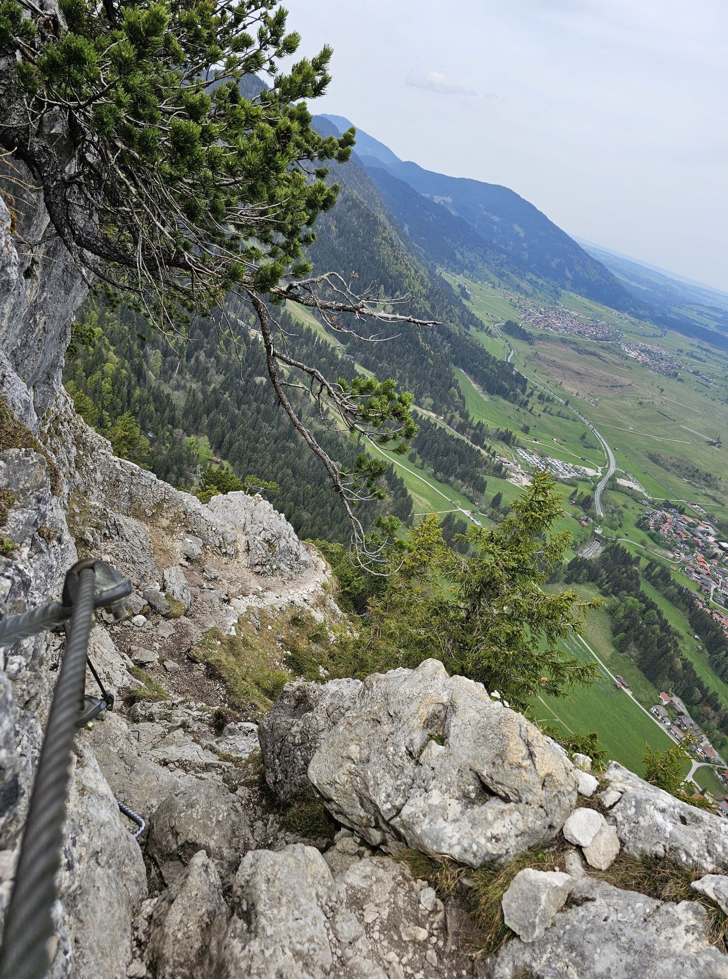
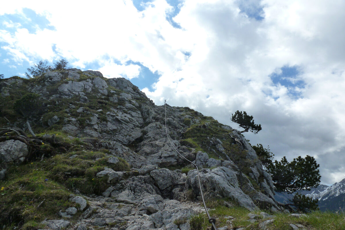
Past the Döttenbichl and a large clearing, turn diagonally right over a meadow up to a bench by the forest. From here, the path climbs steeply through the mountain forest in numerous switchbacks. Over a scree cirque and past rock walls, you reach the Kofelsattel. From here, the more challenging part of the route begins. After a few minutes, the first cable-protected sections start, providing helpful support up to the summit of the Kofel. The effort is worth it. After about 20 minutes, the summit of the Kofel is reached via the via ferrata.
The descent is again via the small via ferrata back to the Kofelsattel. From there, the route follows the Königssteig along a beautiful high panoramic trail to the Kolbensattel hut. After a stop at the hut, it takes about 1 hour back to the parking lot. Alternatively, you can choose the Alpine Coaster for a quick descent.
Our recommendation:
Never get lost again - we recommend the free app "Zugspitz Region" with GPX tracks for all routes in the region
Tak
Tak
Welcome to the Naturpark Teststubn! Here you can extensively test hiking poles, day packs, child carriers, and crampons from well-known manufacturers before deciding on a purchase. Let our team advise you to experience the best possible outdoor adventure. You will find our Naturpark Teststubn at the tourist information offices in Bad Bayersoien and Bad Kohlgrub, and at the Drahtesel Rental Lukas Spindler in Oberammergau.
More information: www.ammergauer-alpen.de/teststubn
In case of emergency, please contact the nearest rescue control center. Regardless of location, you can reach them across Germany by calling 112.
A95, B23 via Ettal to Oberammergau
Bus stop: Oberammergau station or Eugen-Papst-Str.
9606 Garmisch-Partenkirchen - Oberammergau - Wieskirche - Füssen
9622 Oberammergau - Ettal - Linderhof (Castle)
Train stop: Oberammergau station
Murnau - Oberammergau
Guests of the Ammergau Alps region travel free on bus and train with the electronic guest card or the KönigsCard
e-Car sharing in the Ammergau Alps Nature Park
Parking lot valley station Kolbensesselbahn, Oberammergau
Large, free alternative parking lot
South parking lot / festival area
Tired hikers take the Alpine Coaster from the Kolbensattel hut down to the valley.
Kamery internetowe z trasy

Popularne wycieczki w okolicy
-
4,4
Kuhfluchtwasserfälle
średniWędrówka 1,32 km -
4,7
Mountain route - Laber via Soilasee
światłoWędrówka 11,8 km -
4,5
Mountain route - Teufelstättkopf
średniWędrówka 10,8 km -
4,8
Schafkopf
światłoWędrówka 10,2 km -
4,8
Partnachklamm - Hintergraseck - Eckbauer
światłoWędrówka 13,8 km -
4,7
Murnauer Moos
światłoWędrówka 11,5 km -
4,6
Laber - Ettaler Mandl
światłoWędrówka 9,10 km -
4,5
Wank / Garmisch-Partenkirchen
średniWędrówka 11,8 km -
4,9
Kramerspitz (Rundtour)
średniWędrówka 14,5 km -
4,9
Rundtour von Breitenau auf die Stepbergalm und über Gelbes Gewänd zurück
średniWędrówka 11,6 km
Wędrówki i tropienie


Nie przegap ofert i inspiracji na następne wakacje
Twój adres e-mail została dodana do listy mailingowej.