






Kaltenbronn Circular Route No. 6 - Rear Kreuzle Round
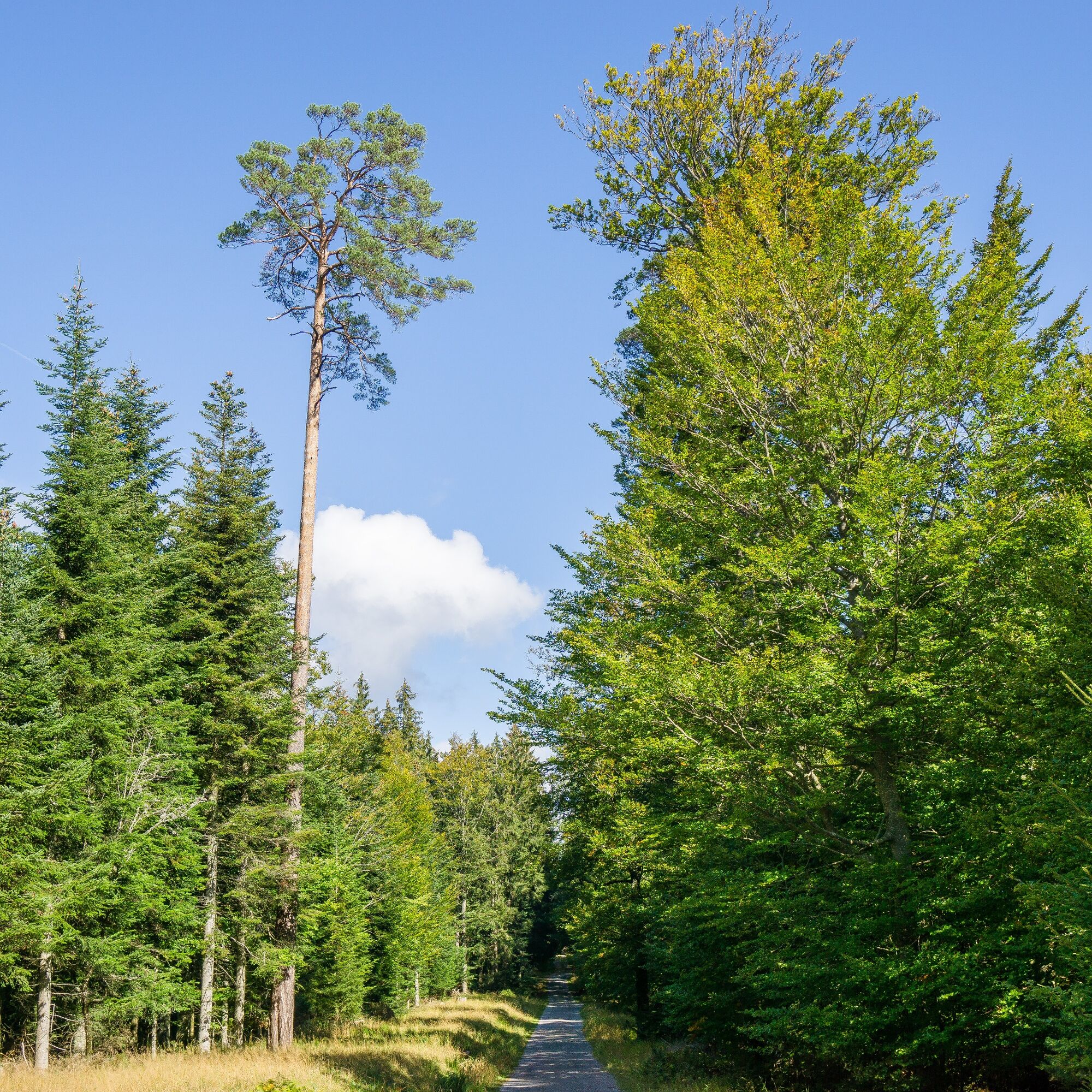
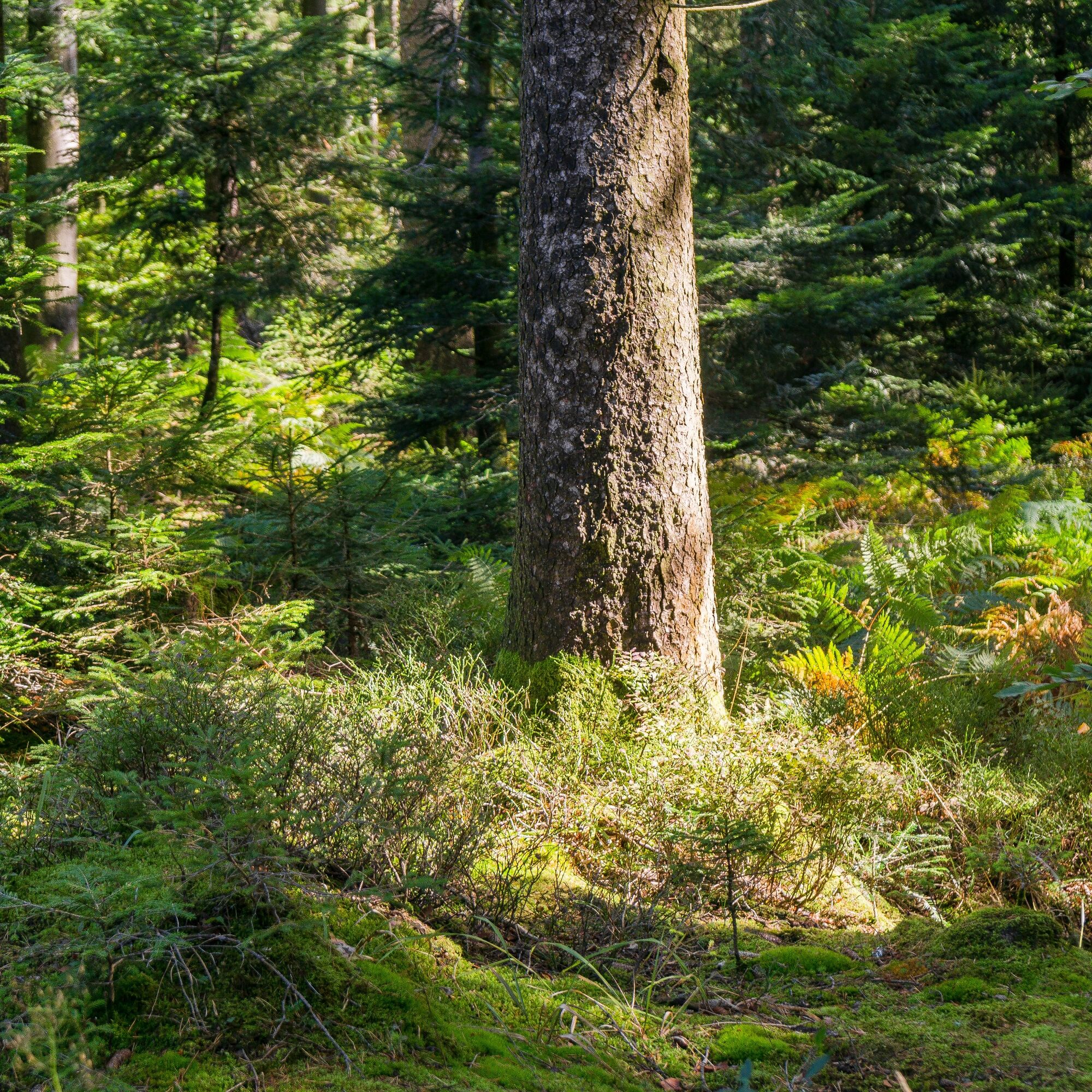
The Kaltenbronn forests with the raised bogs Hohlohsee and Wildsee, with cirques and blockfields, contain the most sensitive treasures of the Northern Black Forest landscape, which provide habitat for...
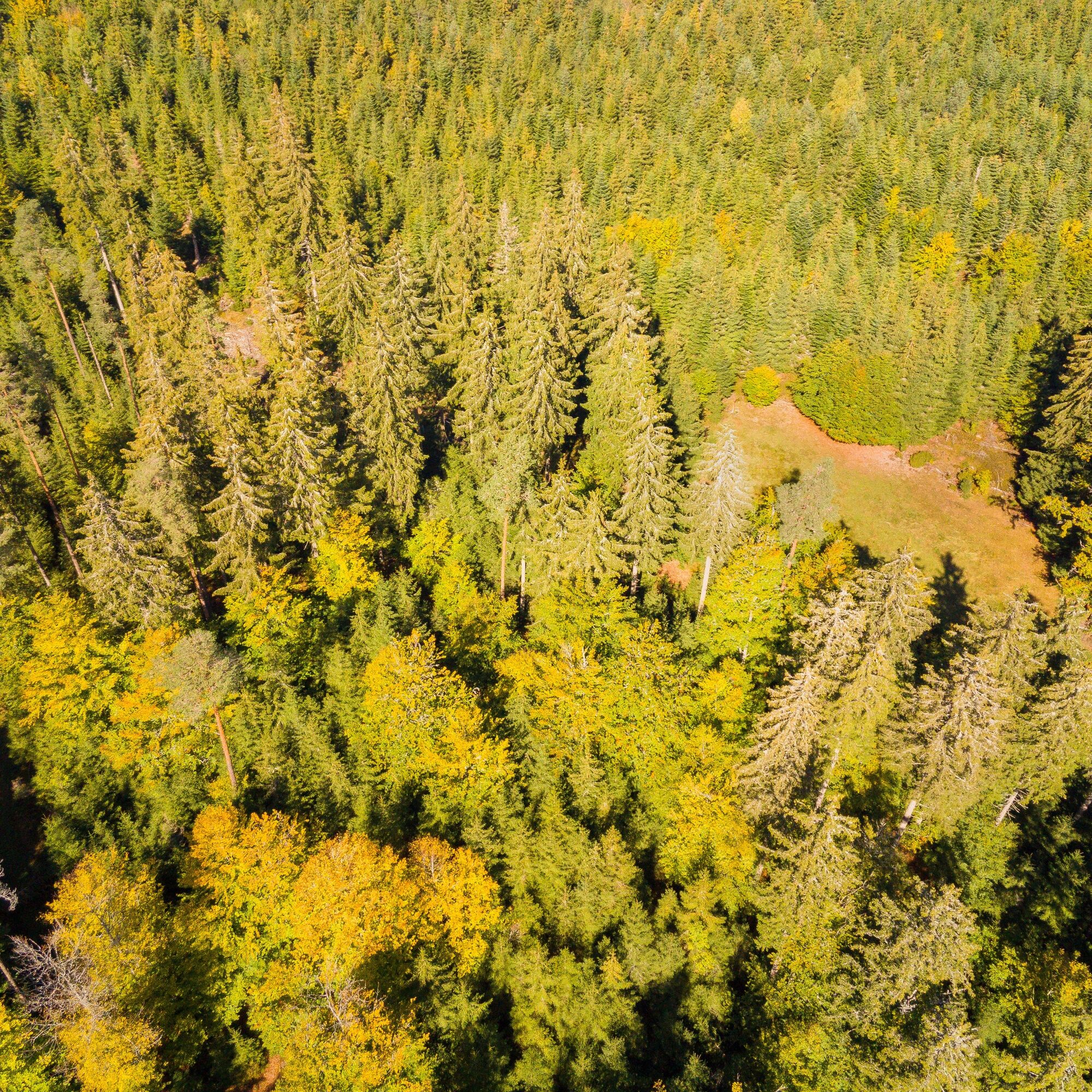
The Kaltenbronn forests with the raised bogs Hohlohsee and Wildsee, with cirques and blockfields, contain the most sensitive treasures of the Northern Black Forest landscape, which provide habitat for many rare animals and plants. Already in 1928, part of the Wildsee bog was given protected status as a “bann forest area”.
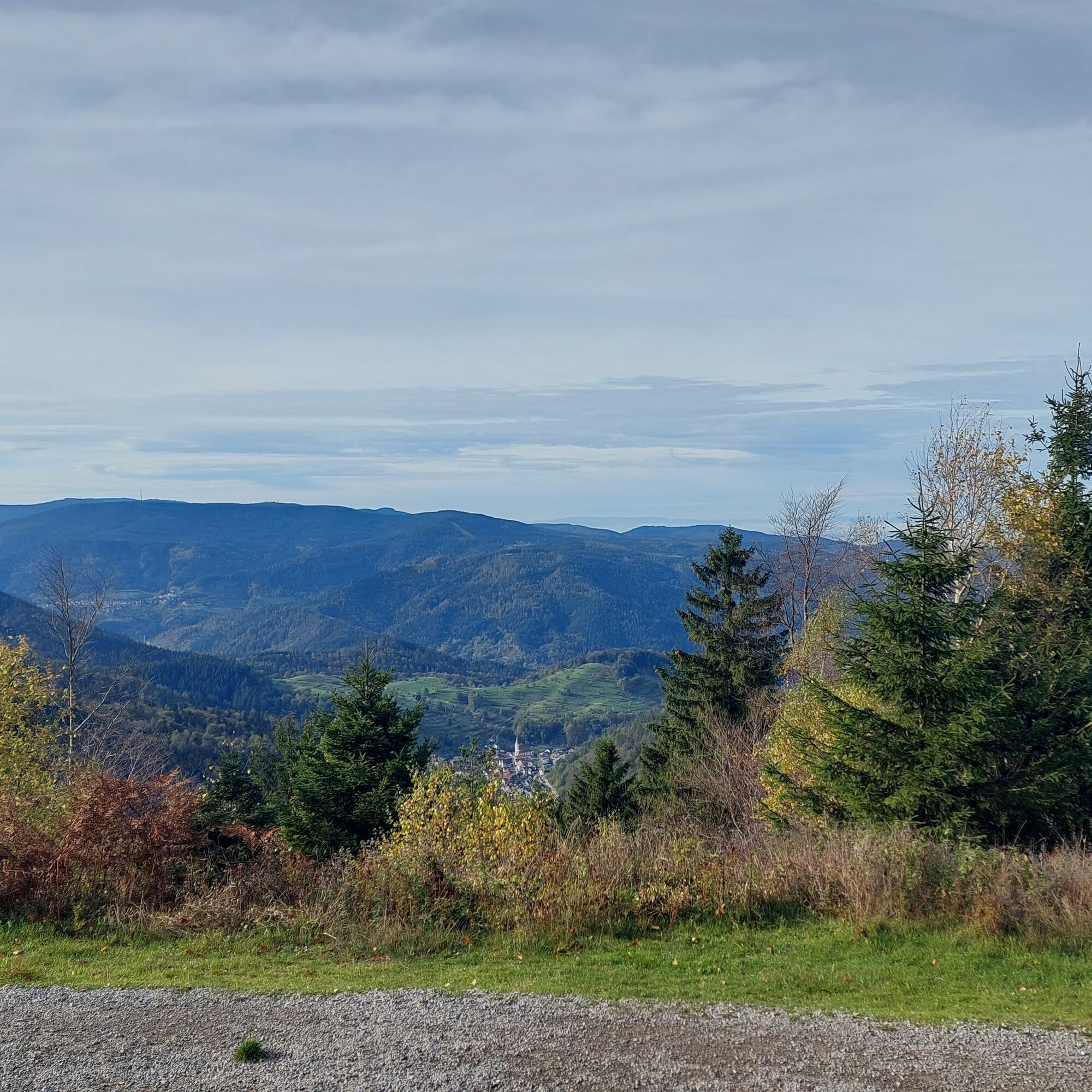
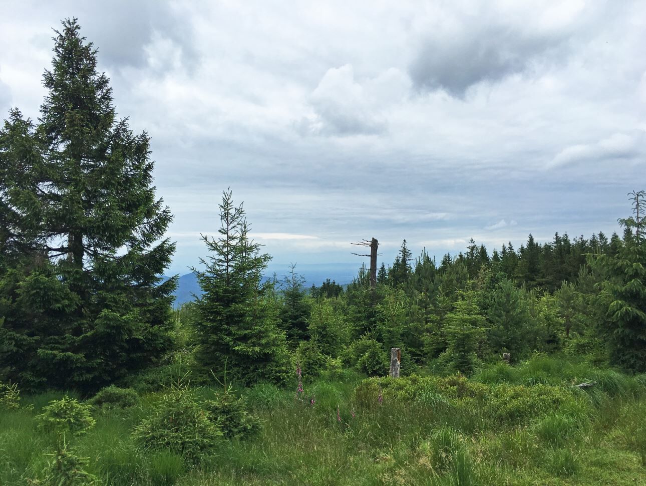
The route between Kaltenbronn and Teufelsmühle repeatedly offers nice viewpoints that open through the denser forest. When looking back towards Kaltenbronn, you catch a distant view of the historic Hohloh tower, which stands in the distance.
The most beautiful panoramic view awaits hikers at the Alwin Wieland viewpoint. Here you’ll find a comfortable bench to rest and enjoy. From this viewpoint there is a wide view over the Murg valley, beyond the Badener Höhe, all the way to the Vosges. A moment you want to capture.
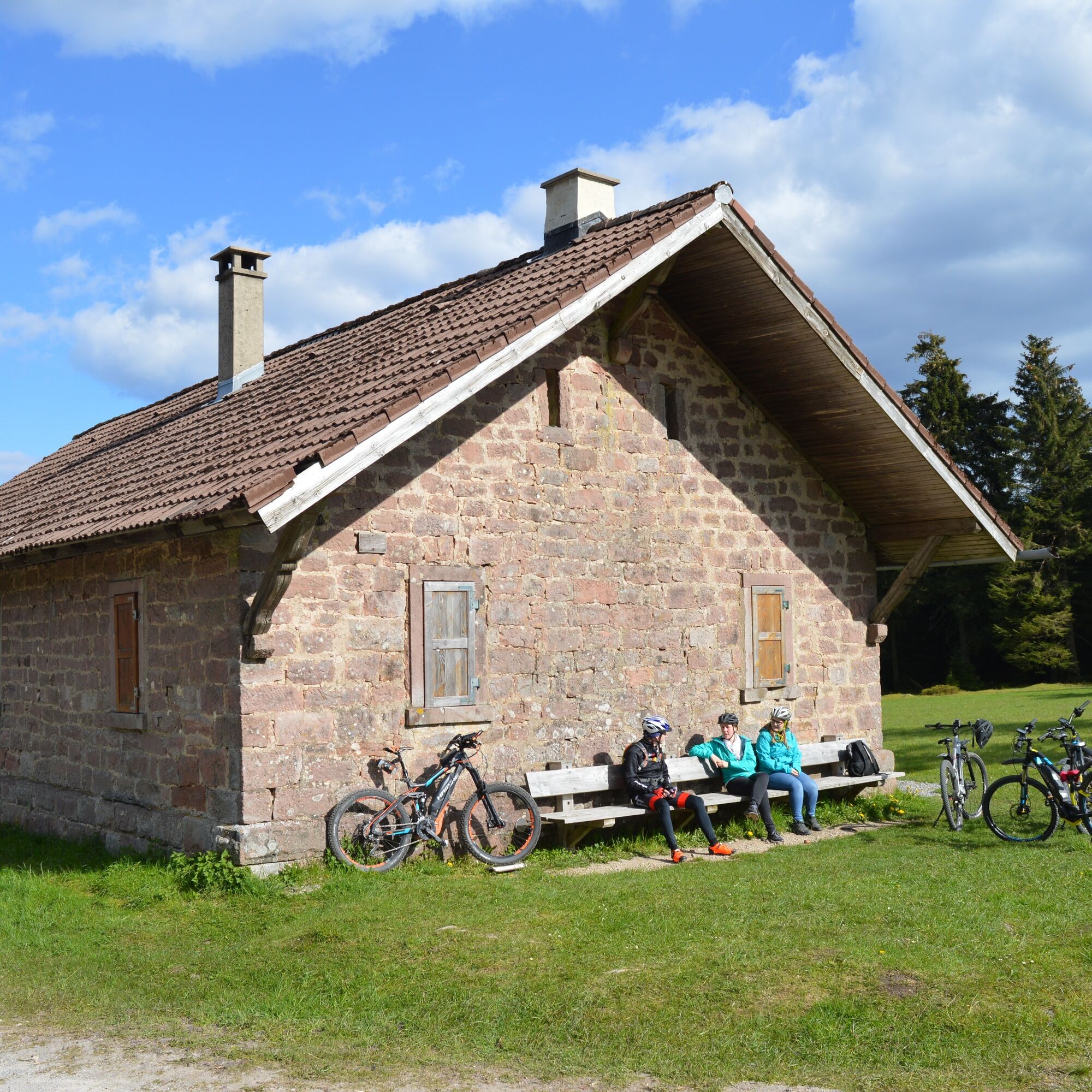
The further route leads via the Langmartskopfhütte and the Old Wine Road back to the Kreuzlehütte.
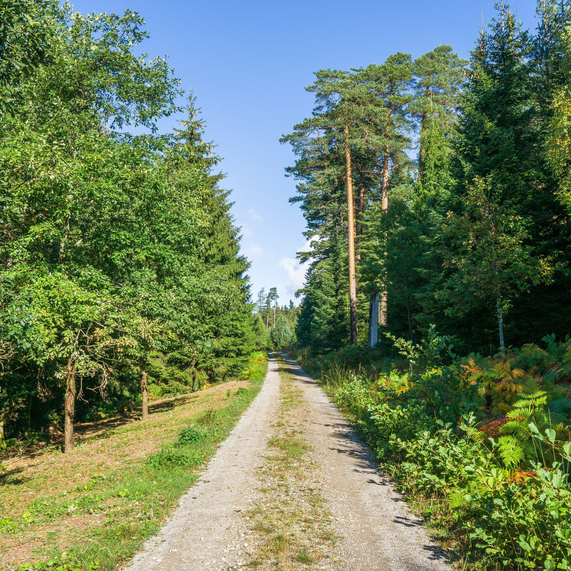




The circular route runs on the marked hiking trail network of the Black Forest Club. The lozenge signage guides you from signpost location to signpost location along the way.
Parking lot A/ Kreuzle bus stop - direction Kreuzlehütte - Westweg - WWS Glasertwald - WWS Langmartskopfhütte - WWS Kreuzlehütte - Parking lot A/Kreuzle bus stop
Comfortable footwear, (digital) map material
Via the L 76b from Reichental and from the Enz valley
Bus stop: Kreuzle
The bus line 242 runs from Gernsbach to Kaltenbronn.
Current timetables at: efa-bw.de
Parking lot A at Kaltenbronn
Kaltenbronn Information Center
Kaltenbronn 600
76593 Kaltenbronn
07224 – 655197
Continuing on to Kaltenbronn and visiting the Kaltenbronn Information Center and its exhibitions are definitely worthwhile.
Uzyskaj wgląd
Zawsze na żywo z ponad 9 500 kamer internetowych. bergfex Jako użytkownik Pro, możesz teraz zobaczyć odpowiednie kamery internetowe dla wielu wycieczek w aplikacji wycieczki od. Pozwala to na bezpośredni podgląd aktualnych warunków.
Popularne wycieczki w okolicy
-
5,0
Circular route via spring nature trail and Wurstberg
światłoWędrówka 8,08 km -
4,7
Eyach round
średniWędrówka 7,84 km -
4,2
Kaltenbronn Circular Route No. 1 - Wildsee Moor Loop
światłoWędrówka 8,30 km -
4,7
premium hiking trail Enzquellenpfad
średniWędrówka 19,9 km -
3,0
Dobel High-Altitude Route
średniWędrówka 11,8 km -
4,3
Nature experience tour Kaltenbronn
średniWędrówka 14,2 km -
4,0
Spaziergang zum Bernsteinfelsen
średniWędrówka 14,5 km -
4,8
Weisenbacher Steig (Rechts der Murg)
średniWędrówka 17,6 km -
2,6
Genießerpfad zum Panoramastüble
Wędrówka 10,6 km -
AugenBlick route Bad Herrenalb Schweizerkopf
średniWędrówka 15,5 km
Wędrówki i tropienie


Nie przegap ofert i inspiracji na następne wakacje
Twój adres e-mail została dodana do listy mailingowej.





