







Around the Beautiful Mountain

Poziom trudności: T1
Böhmenkirch, along with its neighborhoods of Treffelhausen, Steinenkirch, and Schnittlingen, offers recreational opportunities and much more.
Unwind completely in unspoiled nature and forget about everyday...
Unwind completely in unspoiled nature and forget about everyday life—in Böhmenkirch, that’s possible. Here you’ll find a landscape of forests, open hills, wildly romantic valleys, and nature and landscape conservation areas that you can explore on foot or by bike along numerous marked trails. In winter, well-groomed and marked cross-country ski trails wind through the forested landscape. Skiers and snowboarders will find excellent conditions at our ski lifts in Treffelhausen and Schnittlingen. Our cozy inns, cafés, and well-run restaurants will take care of your culinary needs after your workout.
The loop hike around the Schönen Berg is a varied hike on the Alb plateau near Böhmenkirch. The starting point is at the Leispel hiking parking lot, from where the route initially leads through quiet wooded areas. With moderate elevation changes, the tour is ideal for a relaxed hike in a natural setting. All in all, it’s a diverse loop offering nature, views, and interesting stops along the way.
Böhmenkirch Town Hall
Hauptstraße 100 | 89558 Böhmenkirch
07332 9600-0 | gemeinde@boehmenkirch.de | www.boehmenkirch.de

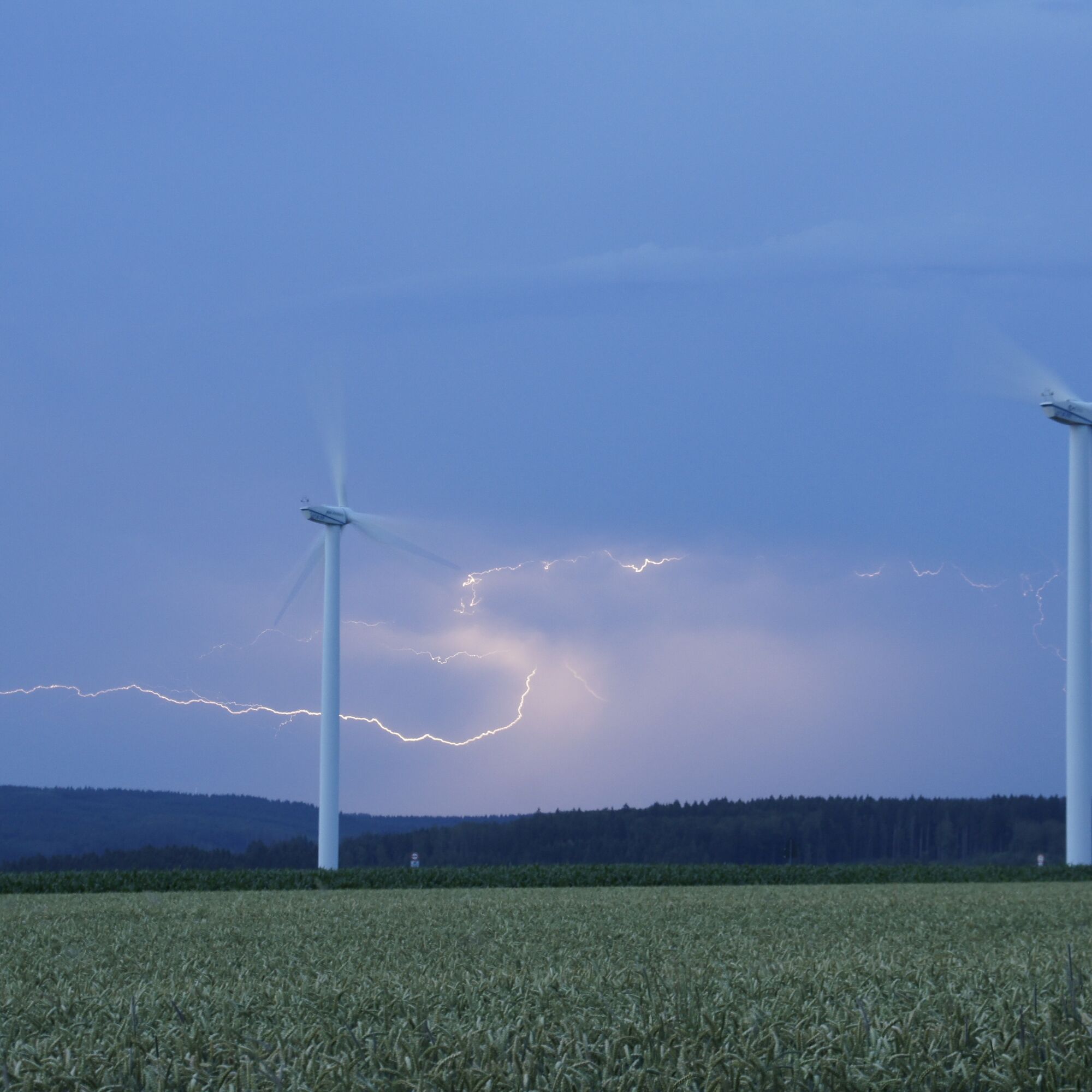

Once you reach Birkenbuckel, a sweeping view of the Lauter Valley opens up. The trail then continues across the Alb plateau and passes the Lauterstein wind farm, whose turbines are visible from afar.
As the loop trail continues, it winds through open stretches of countryside and quiet forest sections back toward Böhmenkirch. Along the way, several rest areas—including picnic spots, playgrounds, and shelters—invite you to take a break.
Sturdy shoes and weather-appropriate clothing are recommended. Bring drinking water and snacks. Hiking poles are optional for added stability.
When it's wet, some trails can be slippery and dangerous. Watch your step and use hiking poles for stability if necessary.
You can find the district bus schedule at: www.vvs.de/fahrplan
Parking is available near the starting point.
T1
Code of Conduct:
Respect trail closures and the quiet zones designated in the recreational trail plan. Leave no trace—such as trash or animal waste—and treat the trails with care. Be proactive and considerate. Adapt your behavior to the situation at hand. Safety comes first. Respect other users of the woods and countryside. Be considerate of animals and plants. Plan ahead and make the most of daylight. Try to avoid the early morning and evening twilight hours. Observe the ban on entering agricultural land during the growing season. Stay on marked trails and avoid forest edges; this helps wildlife get used to people.For more information, visit ruecksicht-macht-wege-breiter.de
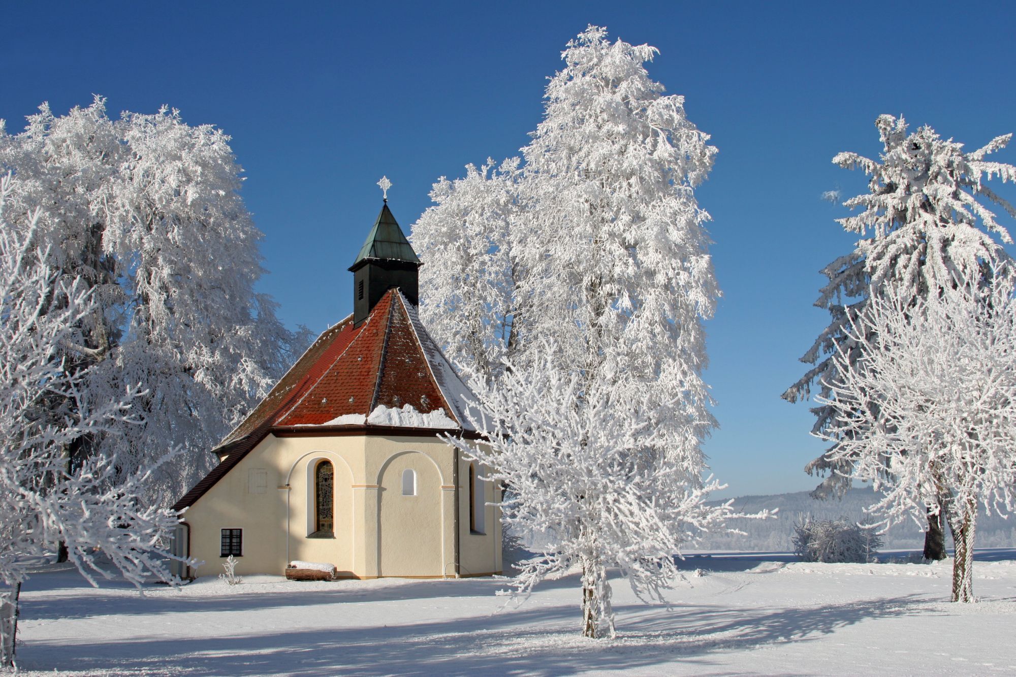
The forest nature trail and St. Patriz Chapel (requires a detour) are lovely places to stop along the way. The picnic areas and shelters along the route are perfect for taking a break.
Popularne wycieczki w okolicy
-
4,9
Lion Trail "Staufer Loop" — Following in Barbarossa's Footsteps Against a Dreamlike Backdrop
średniWędrówka 11,3 km -
5,0
Lion Trail "Heroes' Tour" — The Crowning Stage of the Lion Trails
ciężkiWędrówka 23,6 km -
4,4
Löwenpfad "Geislinger Felsen-Tour" - up and down through the Eybach valley
średniWędrówka 10,8 km -
4,5
Lion Trail "Far-Sighted Tour" — High Up and Looking Far Ahead
ciężkiWędrówka 12,0 km -
4,7
Löwenpfad "Filstalgucker" - views from the heart of the Filstal valley
średniWędrówka 13,0 km -
3,7
Three Emperors' Mountains Loop Hike
ciężkiWędrówka 25,8 km -
3,5
Löwenpfad "Messelberg Tour" - Hiking with Stunning Views
średniWędrówka 7,72 km -
5,0
Lauterstein Sightseeing Tour
ciężkiWędrówka 14,0 km -
5,0
Path of Faith 15 - Heldenberg Trail
średniWędrówka 8,02 km -
4,0
"Filstalgucker" Lion Trail - Views from the Heart of the Filstal Valley
ciężkiWędrówka zimą 13,5 km

Wędrówki i tropienie


Nie przegap ofert i inspiracji na następne wakacje
Twój adres e-mail została dodana do listy mailingowej.





