


Glaubensweg 15 - Heldenbergweg
Poziom trudności: T1
Ten towns and municipalities from the districts of Ostalbkreis and Göppingen offer attractive paths for the spirit, the soul, for hiking and enjoyment.
The area around the towns of Schwäbisch Gmünd, Göppingen,...
Ten towns and municipalities from the districts of Ostalbkreis and Göppingen offer attractive paths for the spirit, the soul, for hiking and enjoyment.
The area around the towns of Schwäbisch Gmünd, Göppingen, Heubach, Mögglingen, Böbingen a.d.R., and Lauterstein and the municipalities Waldstetten, Bartholomä, Essingen, and Ottenbach is shaped by a great church tradition and history.
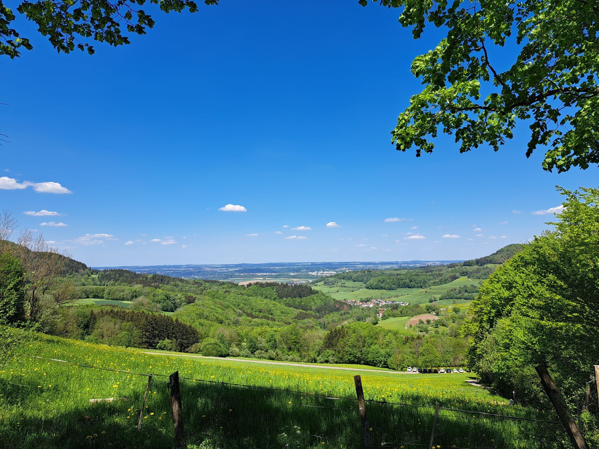
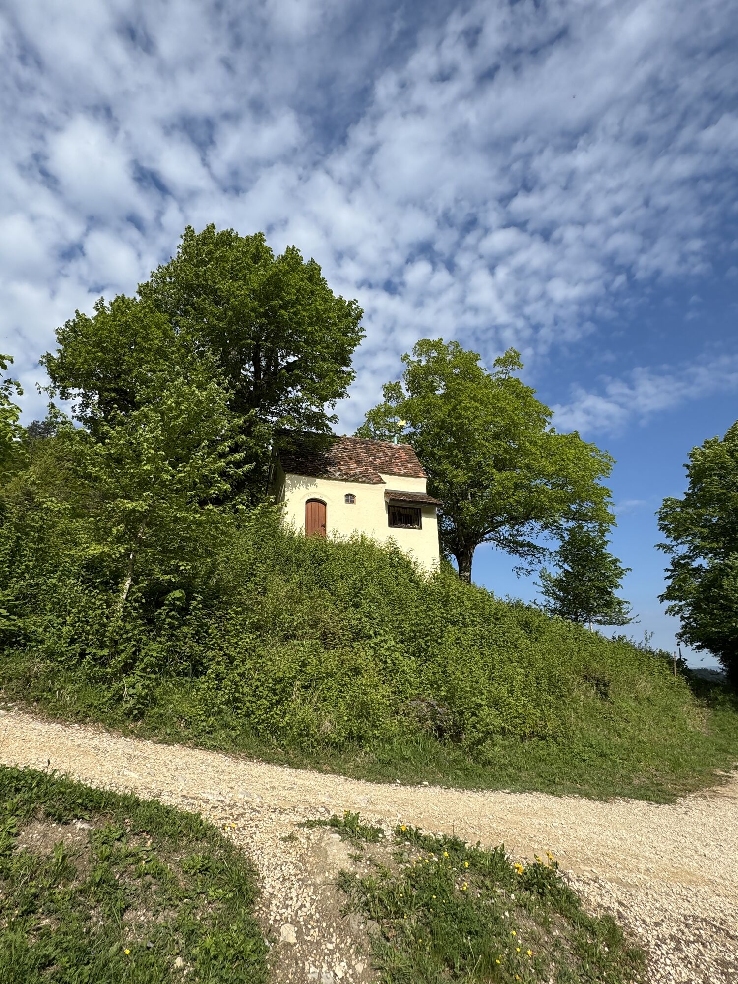
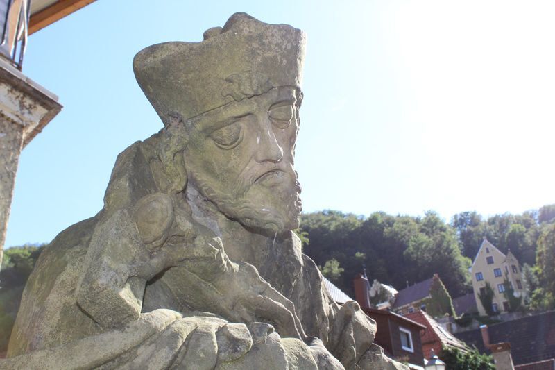
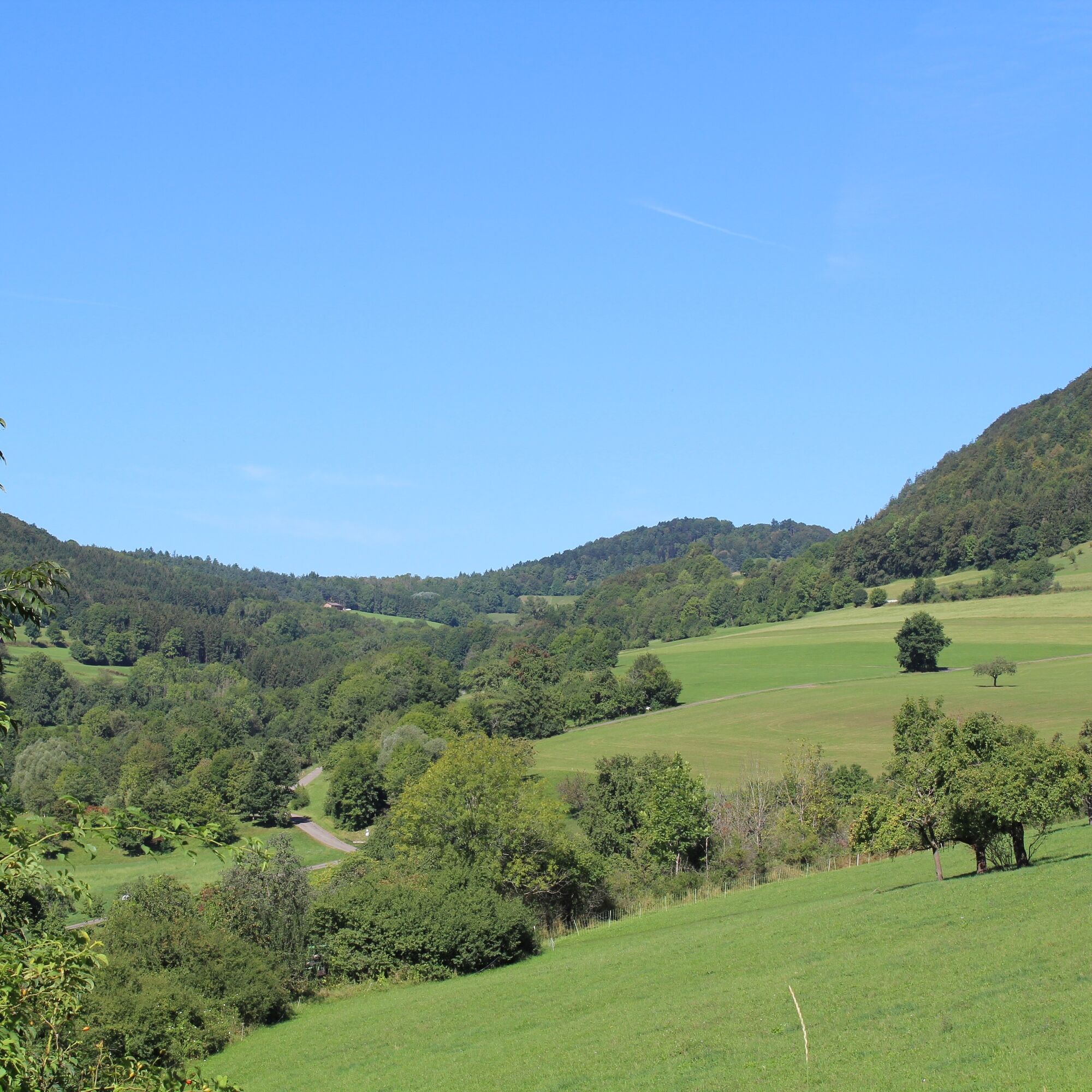
Alternative route to the Christentalweg with a large share of open nature and wonderful views. Along the hiking trail, you encounter mystical places such as the Christental and religious gems like the Reiterleskapelle, the world-famous Pieta by Ignaz Günther, and the parish church St. Martinus.
City Administration Lauterstein
Hauptstraße 75 | 73111 Lauterstein
07332 9669-0 | stadtverwaltung@lauterstein.de | www.lauterstein.de

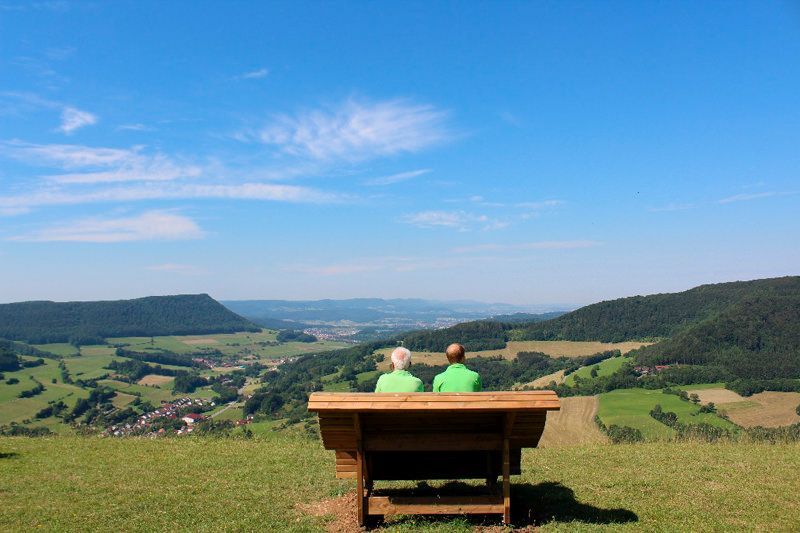
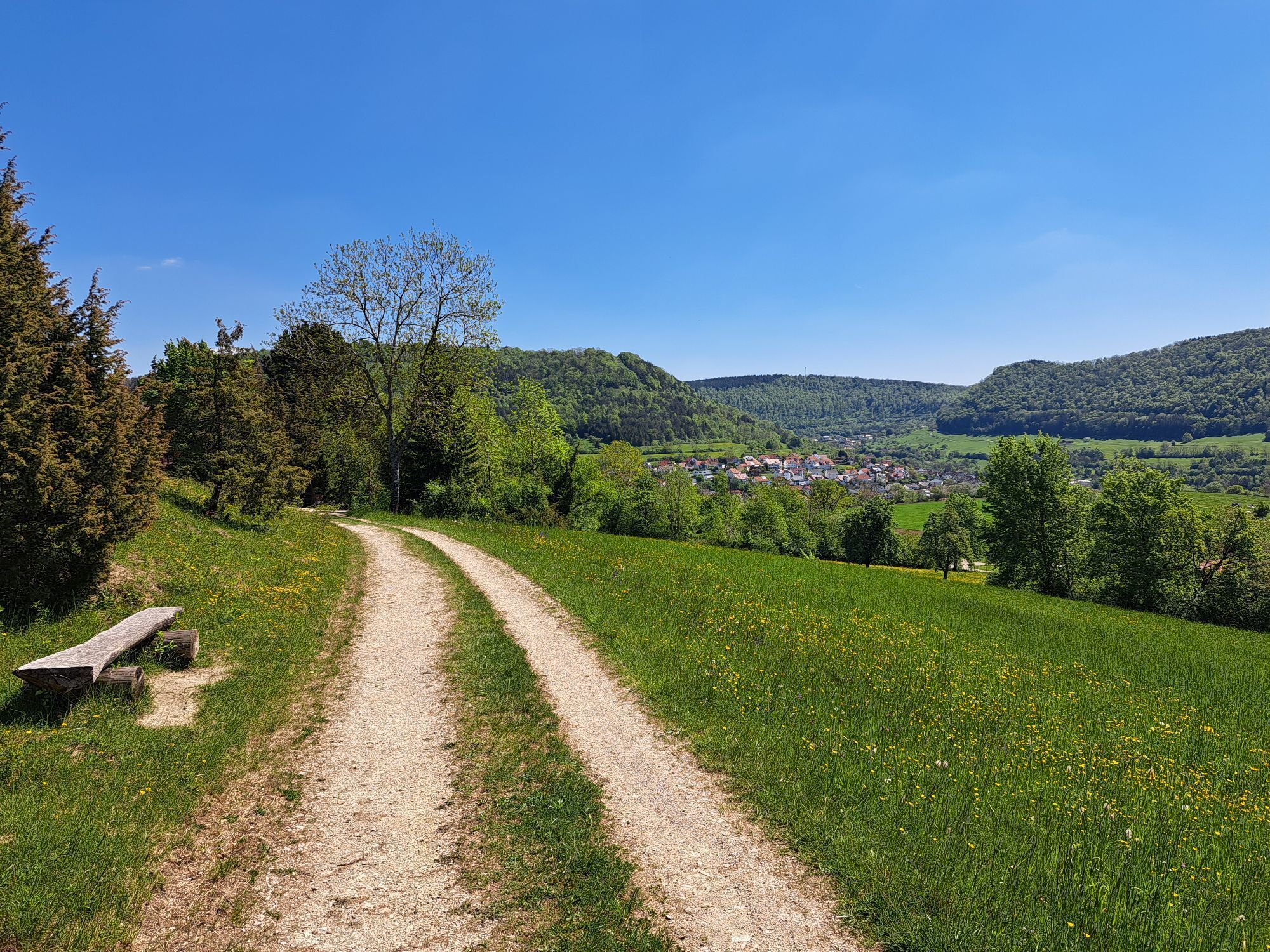
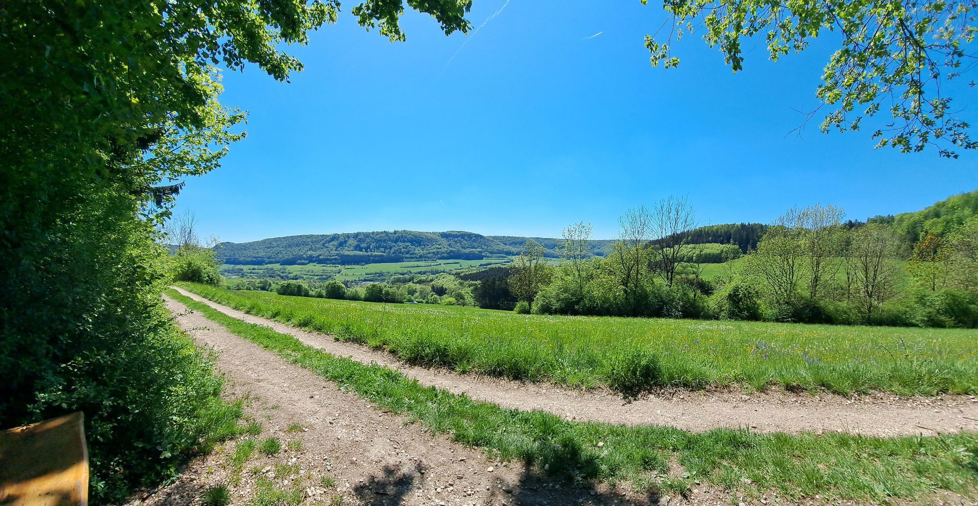
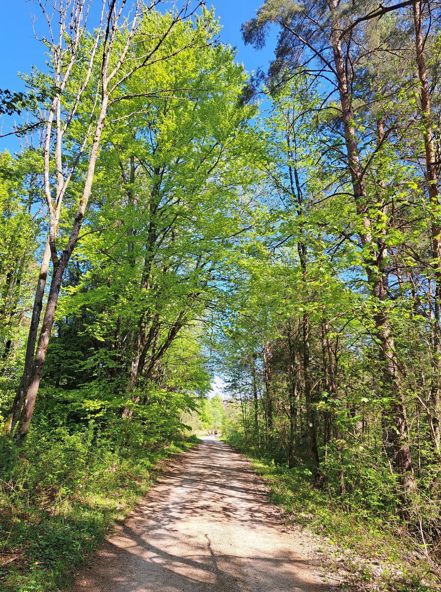
The parking lot near the Landgasthof Heldenberg is an ideal starting point for the 8 km circular hike. From there, the path runs along the forest edge around the Heldenberg. The route then leads to the Schwarzhornhaus, which is perfect for a break. Shortly after, you reach the "Reiterleskapelle," a small religious gem inviting a short visit. The walk continues through the atmospheric Christental, which impresses with its mystical atmosphere, to the town of Lauterstein. There, the path goes along Christentalstraße and Kirchstraße, which finally leads back to the starting point.
Paths can be slippery and dangerous when wet. Watch your steps and use hiking poles for stability if needed.
Paths can be slippery and dangerous when wet. Watch your steps and use hiking poles for stability if needed.
MEX 16 to Süßen, then bus line 972 to "Nenningen Kirche."
The circle timetable can be found at: www.vvs.de/fahrplan
Gasthof Heldenberg
near the Nenninger Pieta
T1
Respectful coexistence in the district of Göppingen.
Code of Conduct:
Respect path closures and quiet zones developed in the leisure paths concept. Leave no traces such as trash or animal feces; treat your path carefully. Act proactively and considerately. Adjust your behavior to the situation. Safety comes first. Respect other users of forest and countryside. Be considerate of animals and plants. Plan ahead and use daylight. Try to avoid dawn and dusk times. Observe the prohibition to enter agricultural areas during the growing season. Stay on designated paths and avoid forest edges, allowing wildlife to better get used to humans.More information at ruecksicht-macht-wege-breiter.de
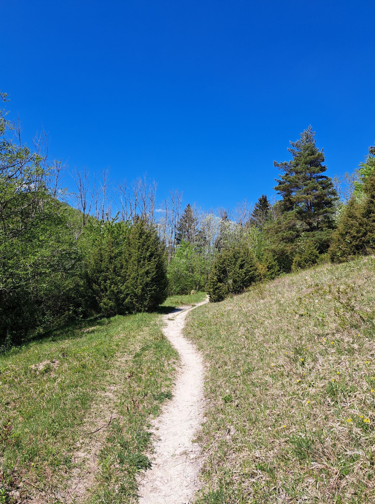
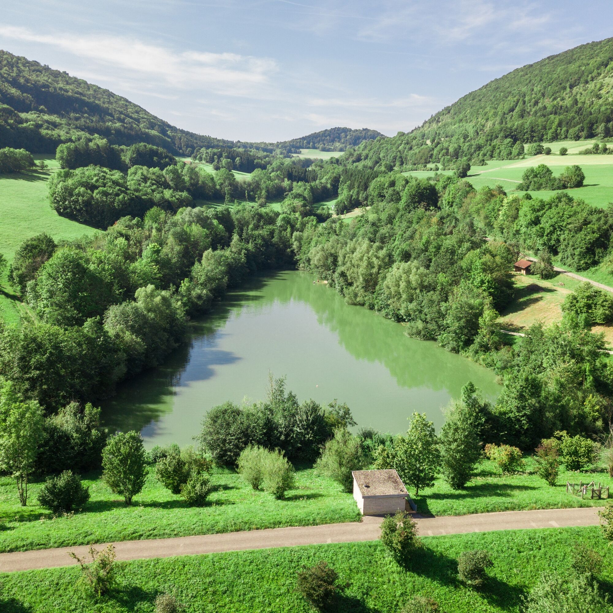
The hiking trail has steep sections and narrower natural paths, so it is not suitable for strollers. A grill area is located at the hiking parking lot by the Christental reservoir.
Popularne wycieczki w okolicy
- 4,5
Löwenpfad "Orchideenpfad" - Herbs, Pasqueflower and Juniper Heathlands
średniWędrówka 9,33 km - 4,9
Löwenpfad "Staufer-Runde" - Barbarossa's traces before a dreamlike backdrop
średniWędrówka 11,3 km - 5,0
Löwenpfad "Heldentour" - The king stage of the Löwenpfade
ciężkiWędrówka 23,6 km - 4,4
Löwenpfad "Geislinger Felsen-Tour" - up and down through the Eybach valley
średniWędrówka 10,8 km - 4,5
Löwenpfad "Weitblick-Tour" - High up and far-reaching view
ciężkiWędrówka 12,0 km - 4,7
Löwenpfad "Filstalgucker" - views from the heart of the Filstal valley
średniWędrówka 13,0 km - 3,7
Löwenpfad "Wasserberg-Runde" - pure panorama and typical Swabian Jura landscapes
ciężkiWędrówka 12,0 km - 4,3
Lion Trail "Steigen Tour" - Along the Swabian construction of the century
ciężkiWędrówka 16,1 km - 3,5
Lion trail "Messelberg tour" - hiking with impressive views
średniWędrówka 7,72 km - 3,0
Circular route Drei-Kaiserberge
ciężkiWędrówka 25,8 km
Wędrówki i tropienie


Nie przegap ofert i inspiracji na następne wakacje
Twój adres e-mail została dodana do listy mailingowej.