







Löwenpfad "Steigen Tour" - Along the Swabian Landmark of the Century
Poziom trudności: T2
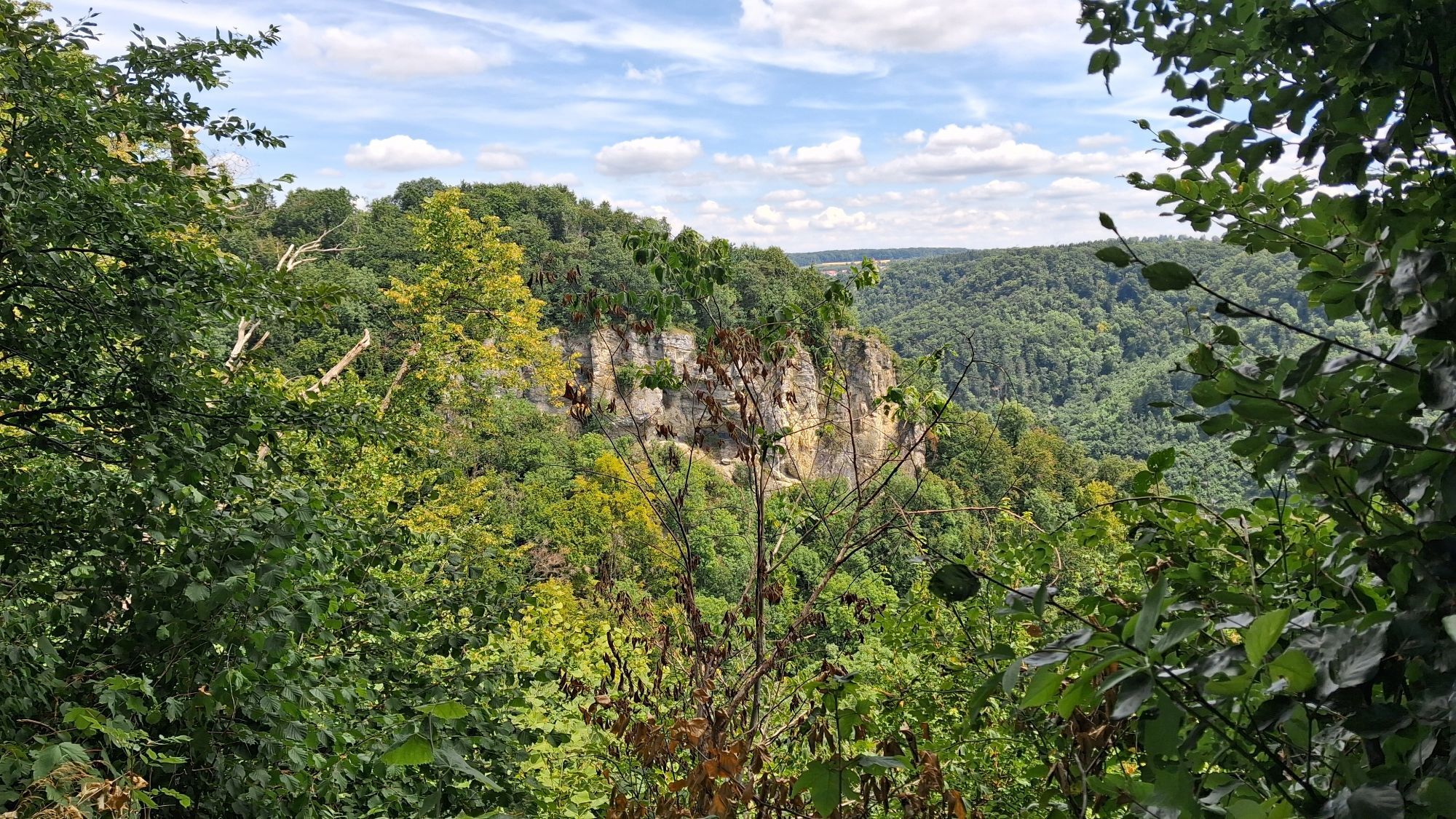
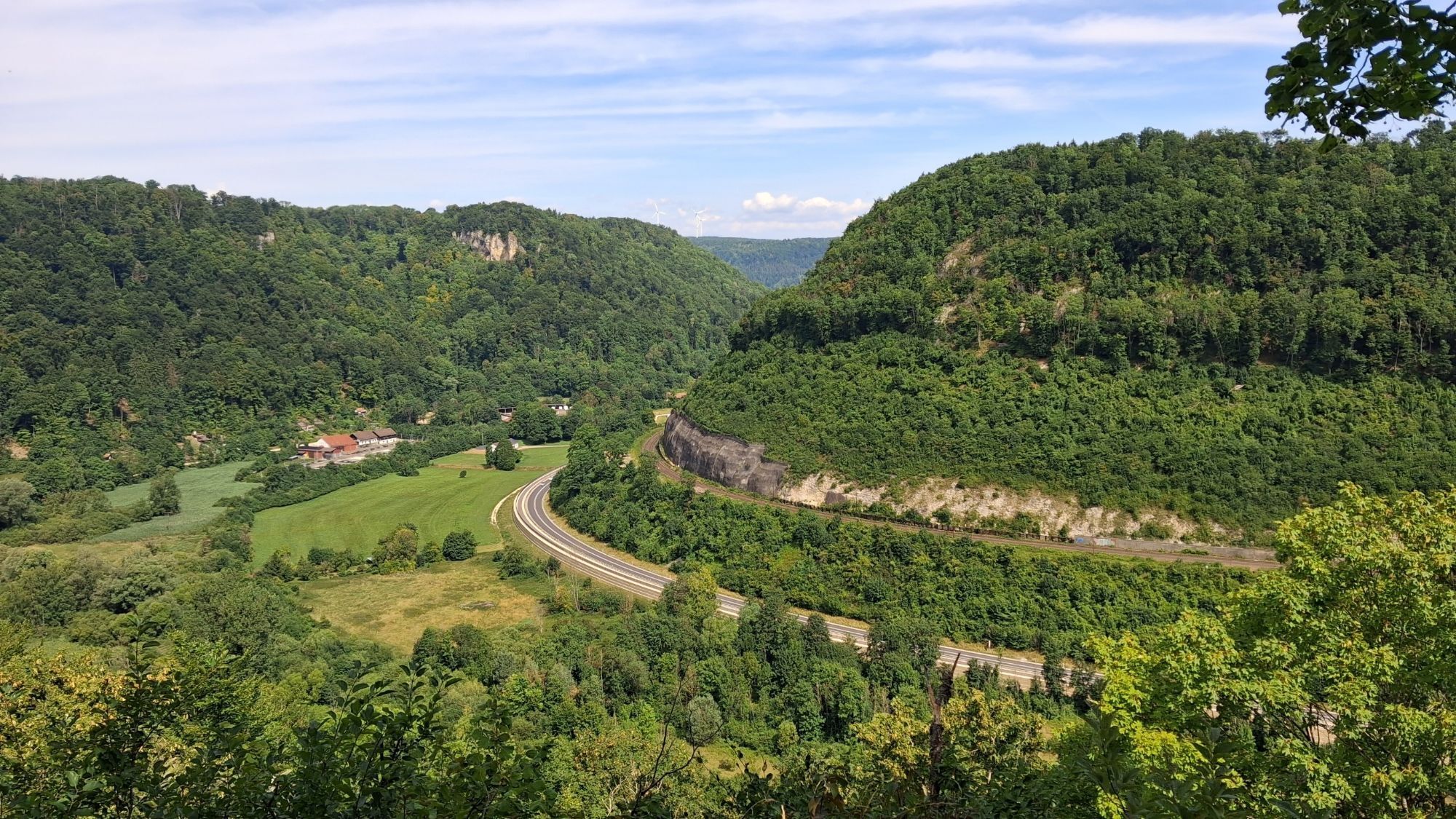
You can follow in the lion’s footsteps in the Göppingen district: The Lion Trails stand for high-quality hiking and entice visitors with impressive views, diverse natural landscapes, and mysterious places....
The “Steigen-Tour” Lion Trail in Geislingen an der Steige is a loop trail certified by the German Hiking Association in the “cultural experience” category. The 17.8-kilometer tour starts at the Jahnhalle parking lot (see “Getting There, Parking” for parking information) in the city center and focuses primarily on navigating the Albaufstieg. The trail passes by the imposing Helfenstein Castle ruins and the medieval Ödenturm, always following the Albtrauf escarpment toward Amstetten until it reaches the Ziegelhütte, where you can enjoy hearty Swabian fare and take in the impressive view of the winding and steep railroad line.
The route continues along one of the oldest trade routes in the Swabian Alb, descending into the valley to the Straubmühle, which entices visitors with a wide selection of mill-made products. Following the Rohrach stream, you’ll walk through the nature reserve in the valley before heading steeply uphill again along narrow trails. Passing the Geiselstein with its impressive views of the valley, the trail continues to the Ostlandkreuz, from where you can look far down into the Filstal valley all the way to Hohenstaufen.
For more information, visit loewenpfade.de

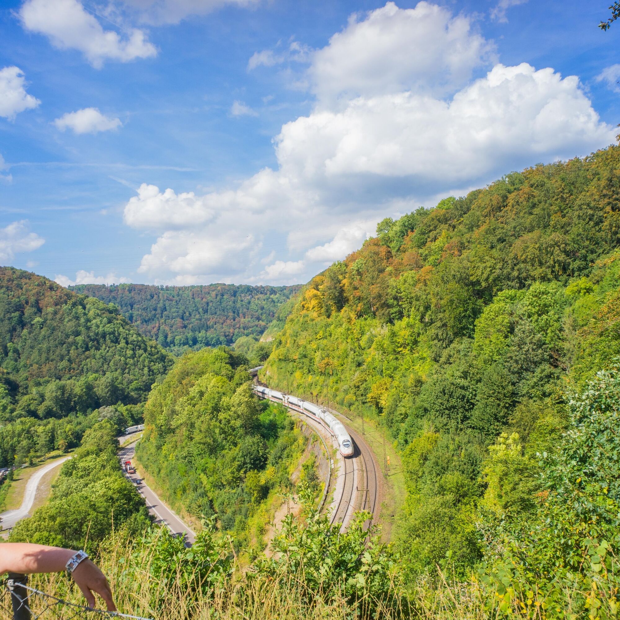
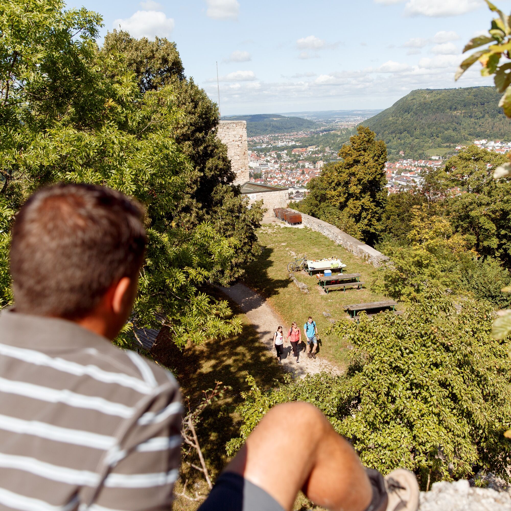
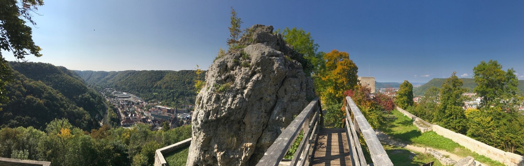
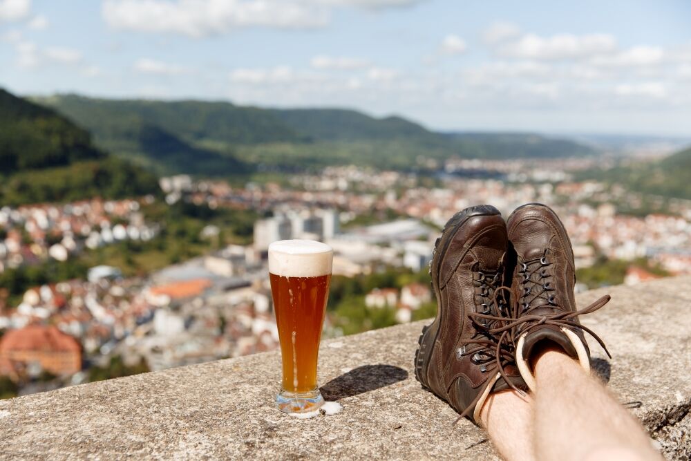
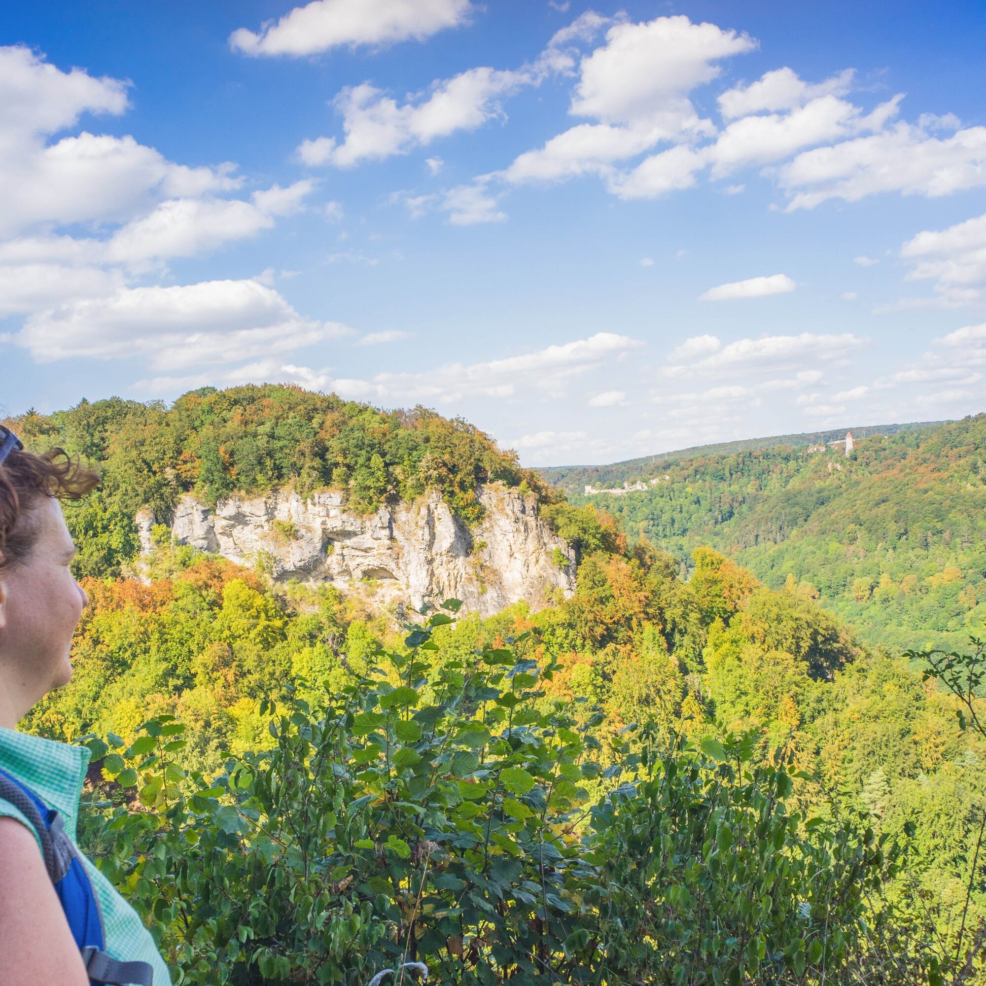
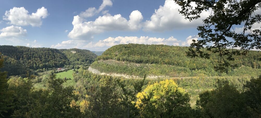

At the start, we pass Geislingen’s most popular viewpoints—the Helfenstein Castle ruins and the medieval Ödenturm—and enjoy the view directly over the historic old town and the Geislinger Steige.
Where the adventure trail continues along the valley, we hike uphill a second time to the Albtrauf and follow nature trails along it, discovering new perspectives on the Geislinger Steige and the Rohrachtal Nature Reserve from the opposite side.
Finally, from the Ostlandkreuz, we take in all five of the city’s valleys and look far into the lower Filstal as far as Hohenstaufen.
Non-slip footwear is recommended.
When it's wet, some trails can be slippery and dangerous. Watch your step and use hiking poles for stability if necessary.
You can reach the town of Geislingen an der Steige by car via the A8 (Stuttgart–Ulm), taking the Mühlhausen exit (B 466) or the Merklingen exit (L 1230) toward Geislingen an der Steige.
Alternatively, you can also take the B10 and exit at Geislingen an der Steige.
Navigate to the starting point with Google Maps
In Geislingen/Steige, there are connections to the MEX and RE trains of the Filstalbahn on the Stuttgart-Ulm route. From the train station, it’s about a 5-minute walk to the starting point at the Jahnhalle parking lot.
You can find the circuit schedule at: www.vvs.de/fahrplan
Jahnhalle Parking Lot (unlimited and free on Sundays; free for 4 hours Mon–Sat (note hiking hours))
Parking garages: MAG (Schillerstraße) – daily rate €15 // Sonne-Center (Hauptstraße 43) – daily rate €10
Parking lot at the Geislingen train station (fee applies) – daily rate €5.20
Alternative starting points: Ziegelhütte parking lot (Steighof 1, Amstetten), parking lot at the Straub Mill (free)
T2
Code of Conduct:
Respect trail closures and the quiet zones established in the recreational trail plan. Leave no trace—such as trash or animal waste—and treat the trails with care. Be proactive and considerate. Adapt your behavior to the situation at hand. Safety comes first. Respect other users of the woods and open fields. Be considerate of animals and plants. Plan ahead and make the most of daylight. Try to avoid the early morning and evening twilight hours. Observe the ban on entering agricultural land during the growing season. Stay on marked trails and avoid forest edges; this helps wildlife get used to people.For more information, visit ruecksicht-macht-wege-breiter.de
The construction of the Geislinger Steige was a difficult undertaking, not least because the railroad right-of-way had to be blasted into the rock in many places. A particular challenge was the massive Mühltal rock face, known as the “General”:
During the blasting in the mid-19th century, the drill holes were still driven into the rock by hand to place 75 kilograms of explosives inside. The engineers’ plan worked, and today we can enjoy the postcard-perfect view of the Geislinger Steige from there.

Popularne wycieczki w okolicy
-
4,5
Löwenpfad "Orchideenpfad" - Herbs, Pasqueflower and Juniper Heathlands
średniWędrówka 9,33 km -
5,0
Löwenpfad "Heldentour" - The king stage of the Löwenpfade
ciężkiWędrówka 23,6 km -
4,4
Löwenpfad "Geislinger Felsen-Tour" - up and down through the Eybach valley
średniWędrówka 10,8 km -
4,5
Löwenpfad "Weitblick-Tour" - High up and far-reaching view
ciężkiWędrówka 12,0 km -
4,7
Löwenpfad "Filstalgucker" - views from the heart of the Filstal valley
średniWędrówka 13,0 km -
3,7
Löwenpfad "Wasserberg-Runde" - pure panorama and typical Swabian Jura landscapes
ciężkiWędrówka 12,0 km -
3,5
Lion trail "Messelberg tour" - hiking with impressive views
średniWędrówka 7,72 km -
3,8
Lion trail "Ave-Weg" - A touch of pilgrimage on the Albtrauf
średniWędrówka 8,65 km -
1,0
Nordalbrunde
średniWędrówka 4,76 km -
Löwenpfad "Höhenrunde" - Hiltenburg and the Albtrauf in its purest form
średniWędrówka 10,7 km

Wędrówki i tropienie


Nie przegap ofert i inspiracji na następne wakacje
Twój adres e-mail została dodana do listy mailingowej.





