







High-Altitude Hike
Poziom trudności: T2
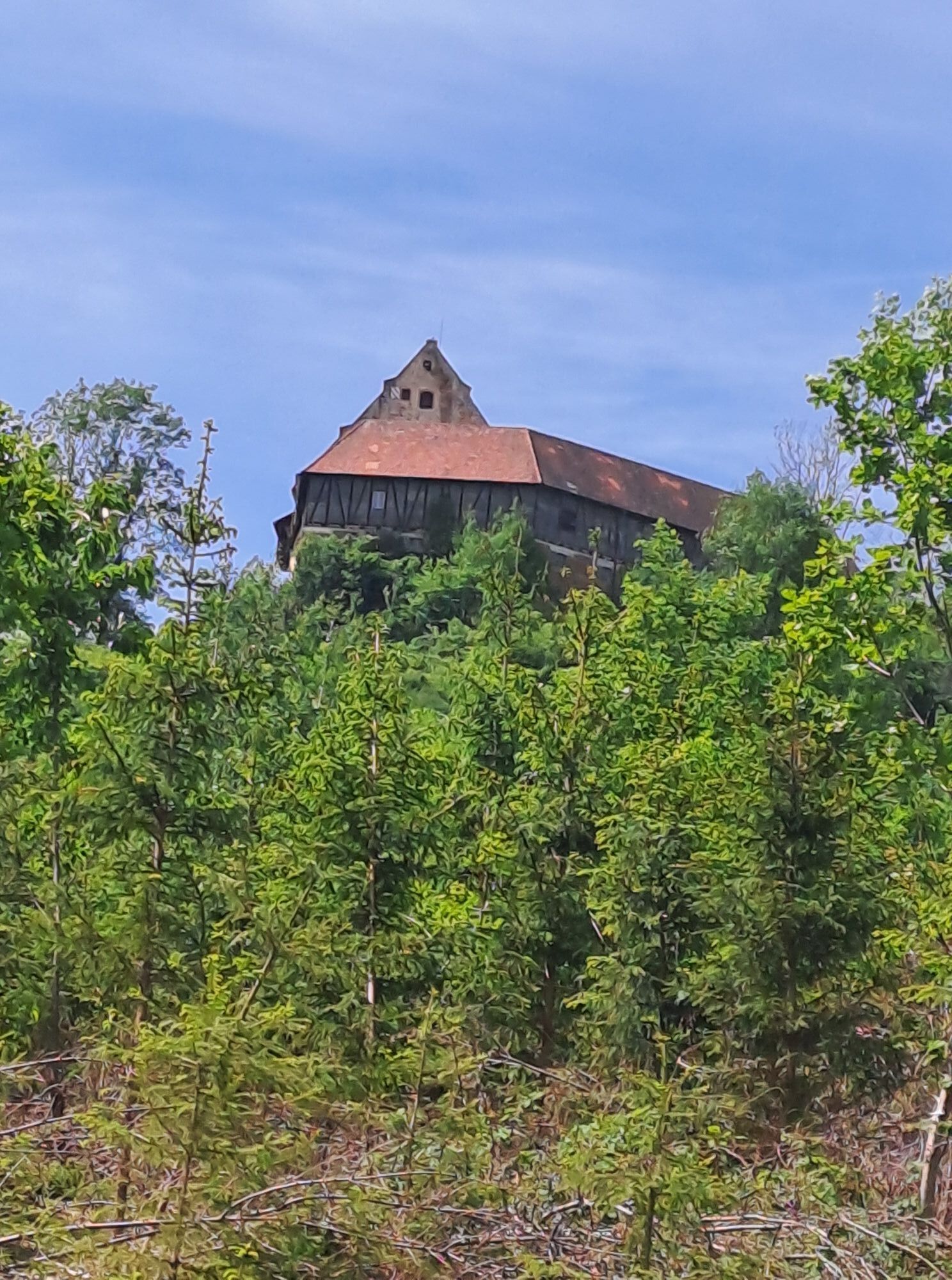
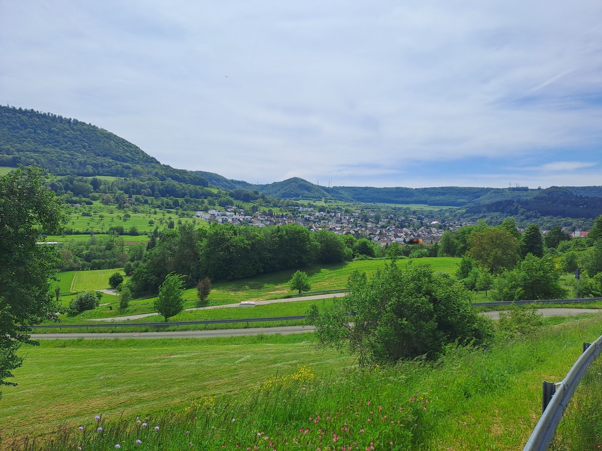
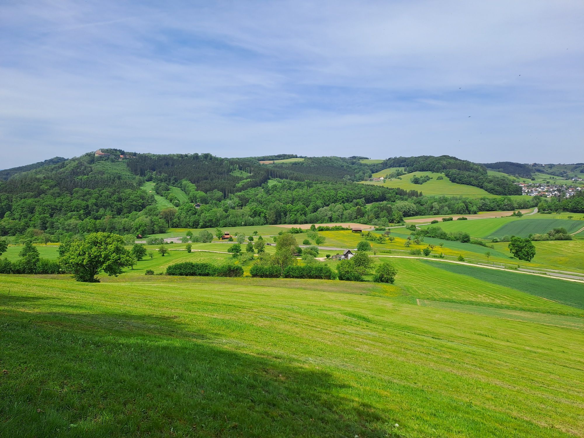
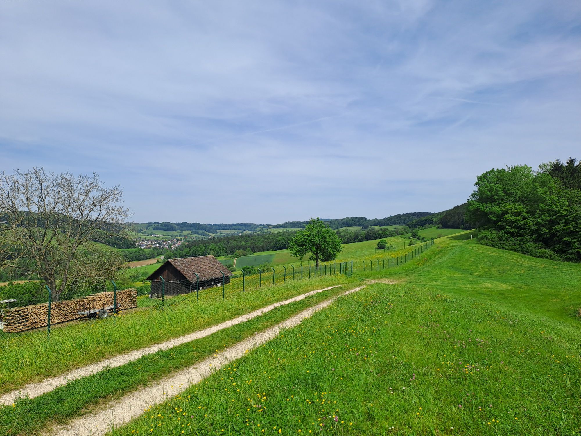
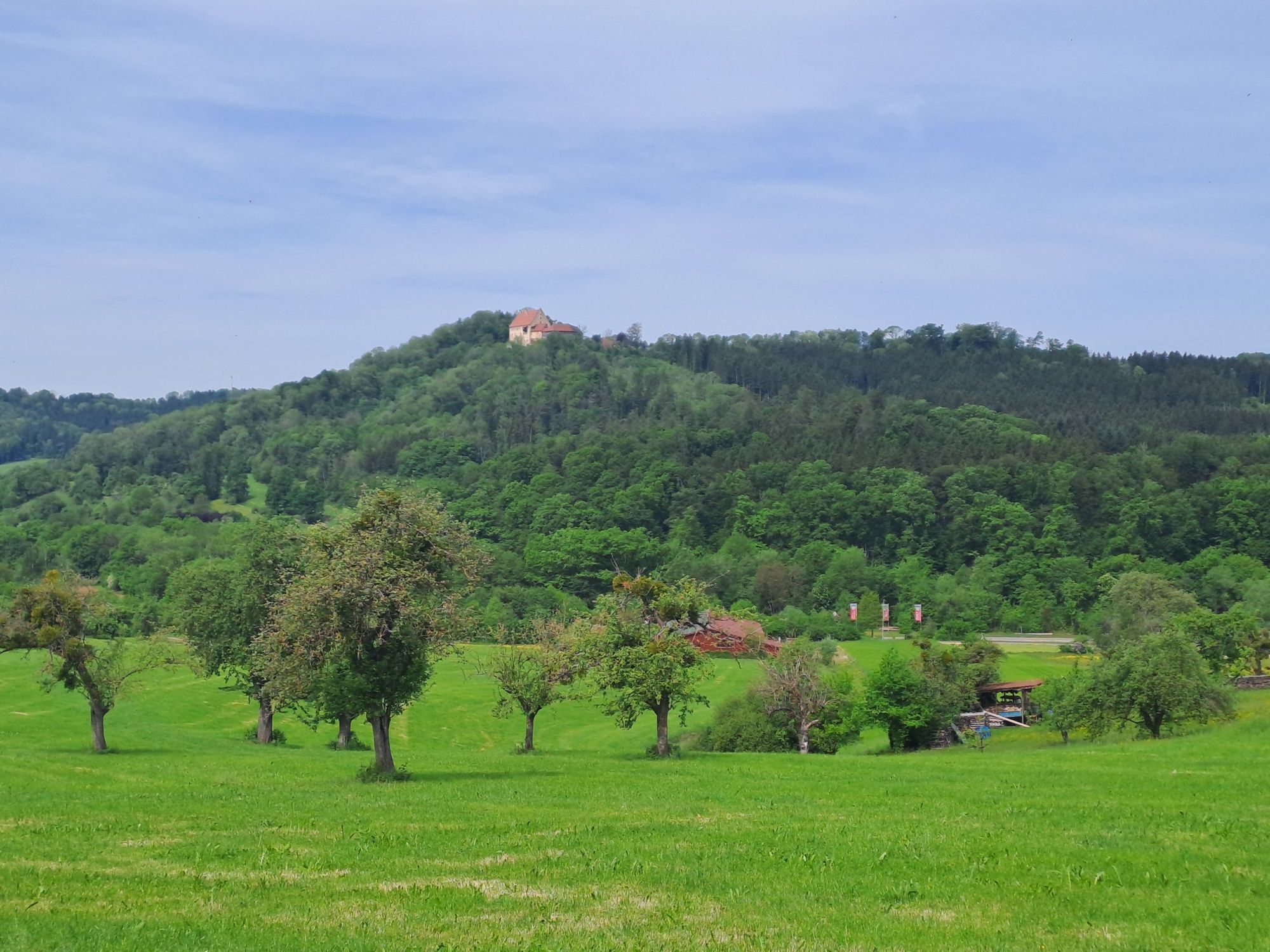
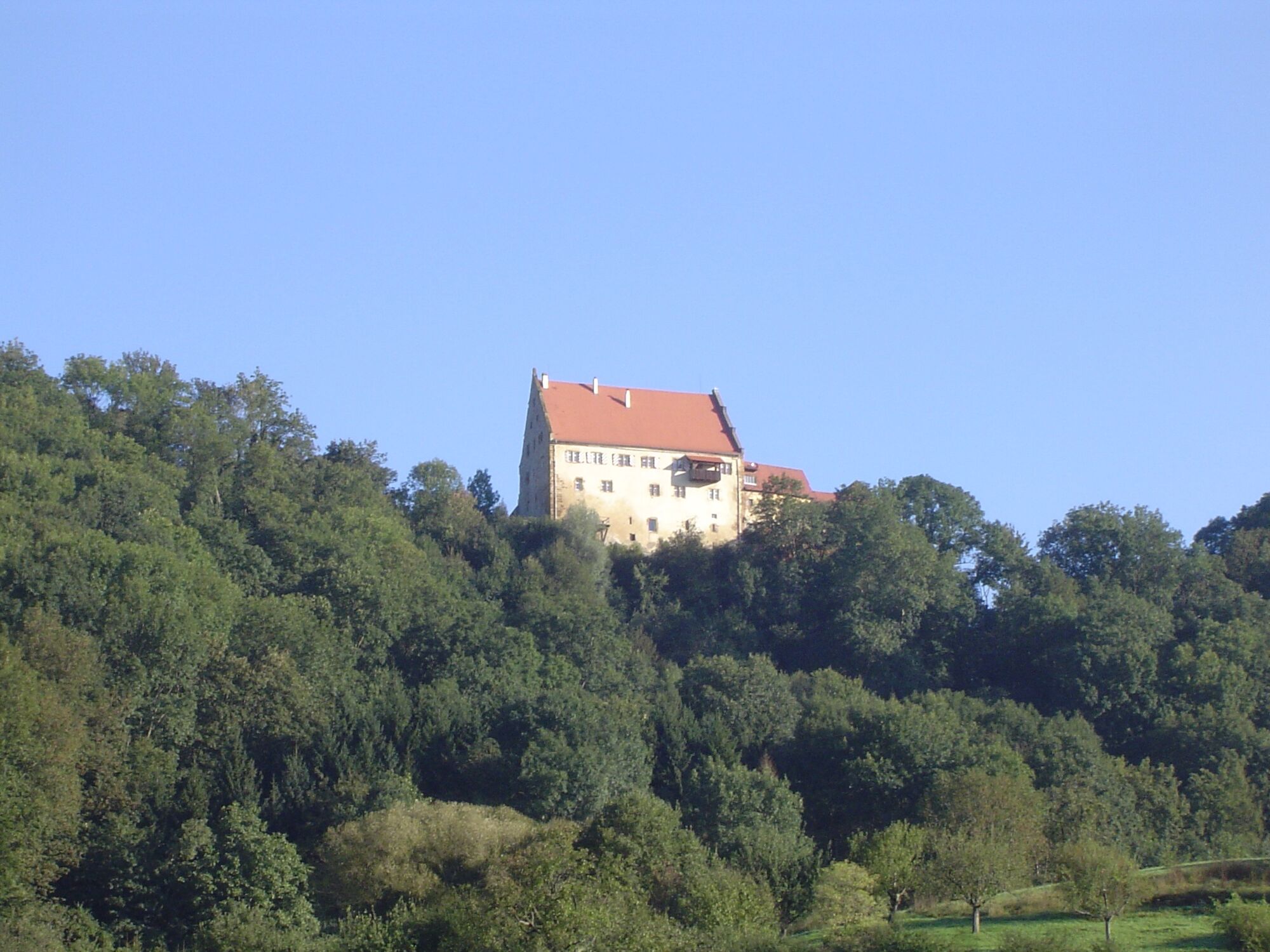
Donzdorf: scenic, culturally diverse, and active in sports.

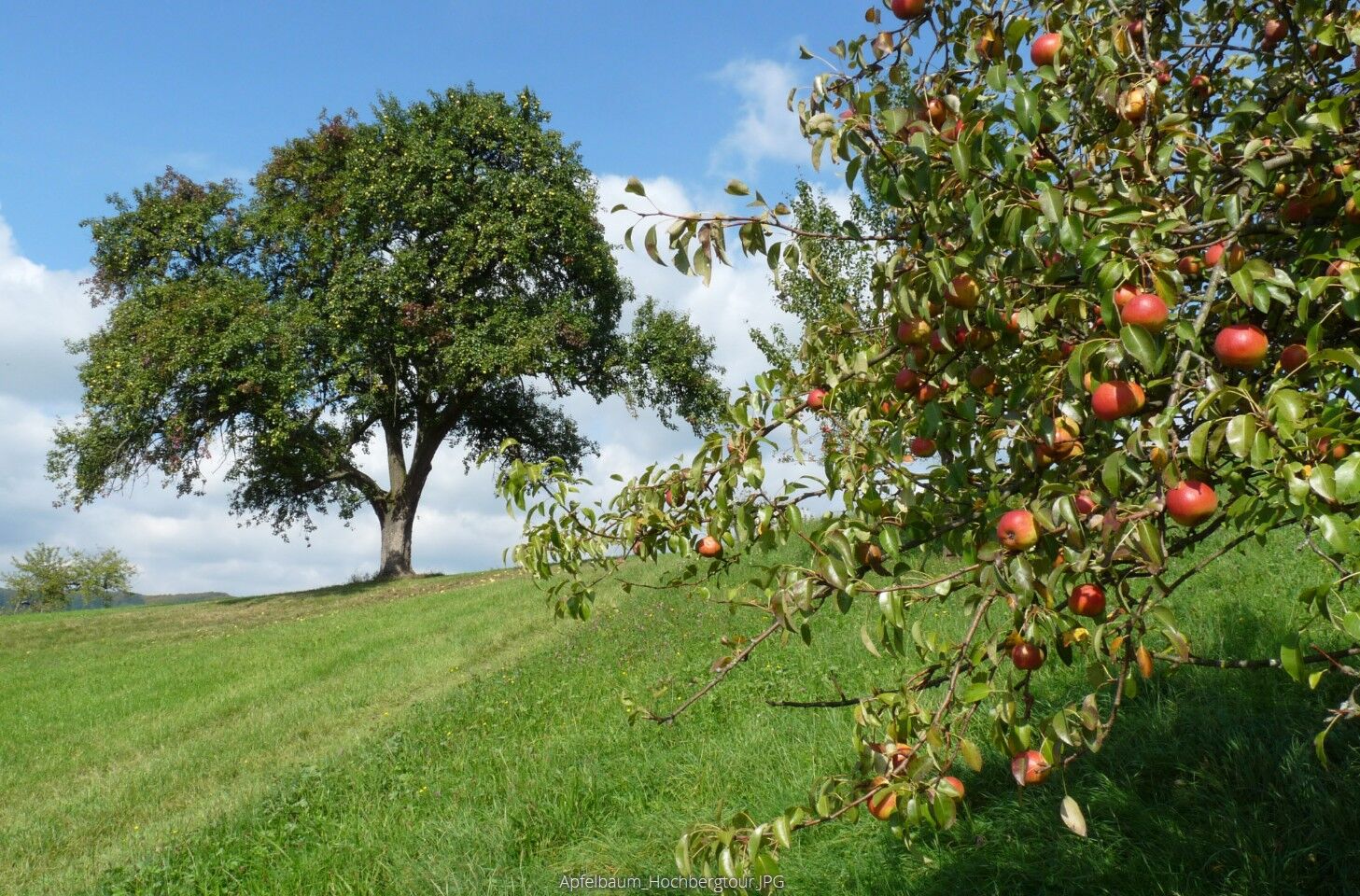
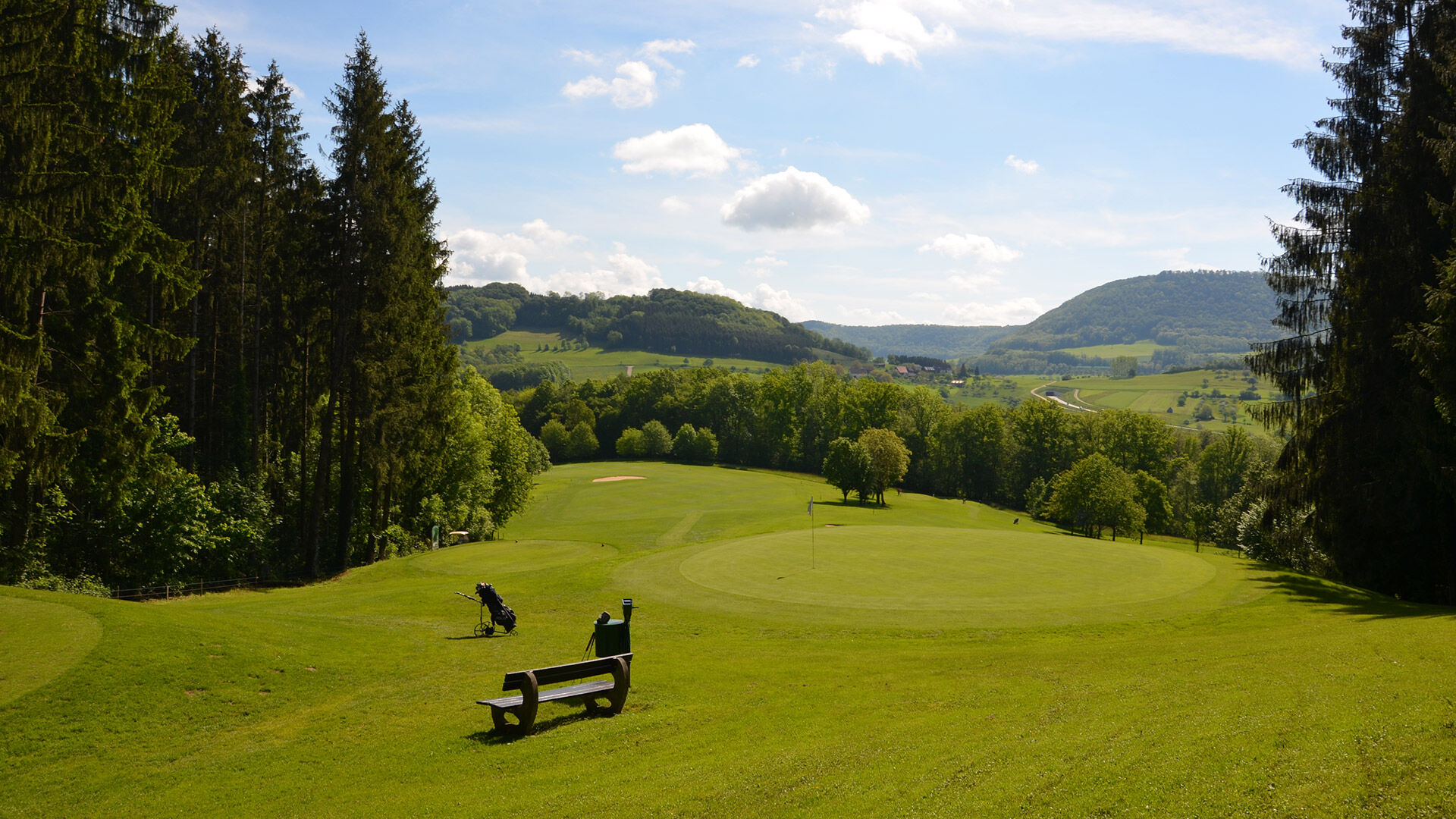
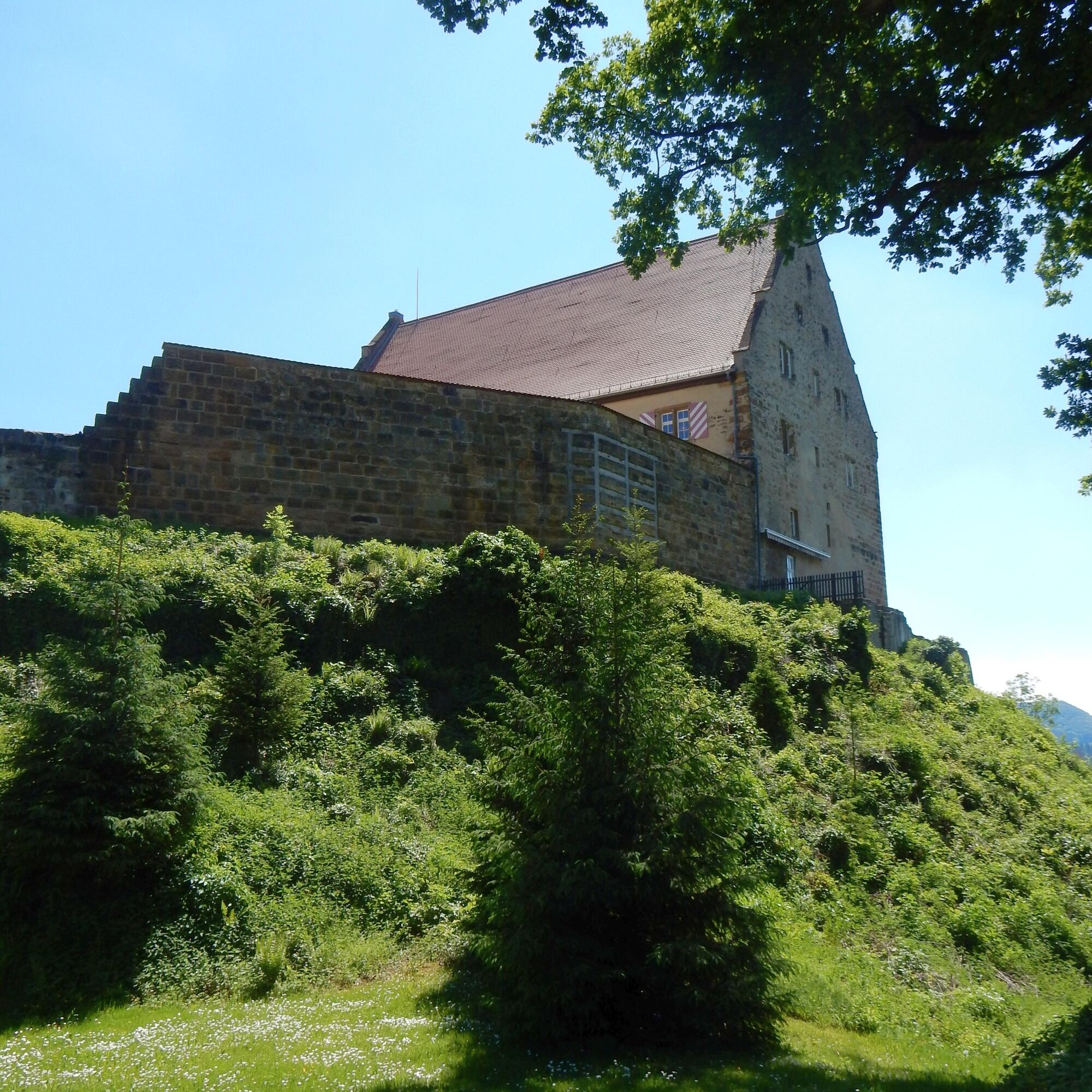

This hike promises a variety of natural sights with gentle inclines and also offers magnificent panoramic views. The tour takes you past expansive orchard meadows, babbling brooks, and through shady forests. Orchard meadows are an ancient cultural heritage that, in addition to their practical uses, are also of great ecological value. The landscape around Donzdorf is dominated in many places by orchard meadows. The section of the trail across the “Bülze” in particular is a true natural paradise, especially in the spring, when the meadows and fruit trees are in full bloom. Starting from the Hochberg plateau (585 m above sea level), paved and gravel paths mostly lead through shady deciduous forests.
Wear sturdy, non-slip shoes and weather-appropriate clothing. A backpack with water, snacks, and a first-aid kit is recommended.
When it's wet, some trails can be slippery and dangerous. Watch your step and use hiking poles for stability if necessary.
You can also reach Süßen from Stuttgart or Ulm via the MEX 16. From there, take bus lines 970, 971, or 972 to Donzdorf and get off at the “Abzw. Reichenbach” stop. It takes about 5 minutes to reach the tour’s starting point.
You can find the district bus schedule at: www.vvs.de/fahrplan
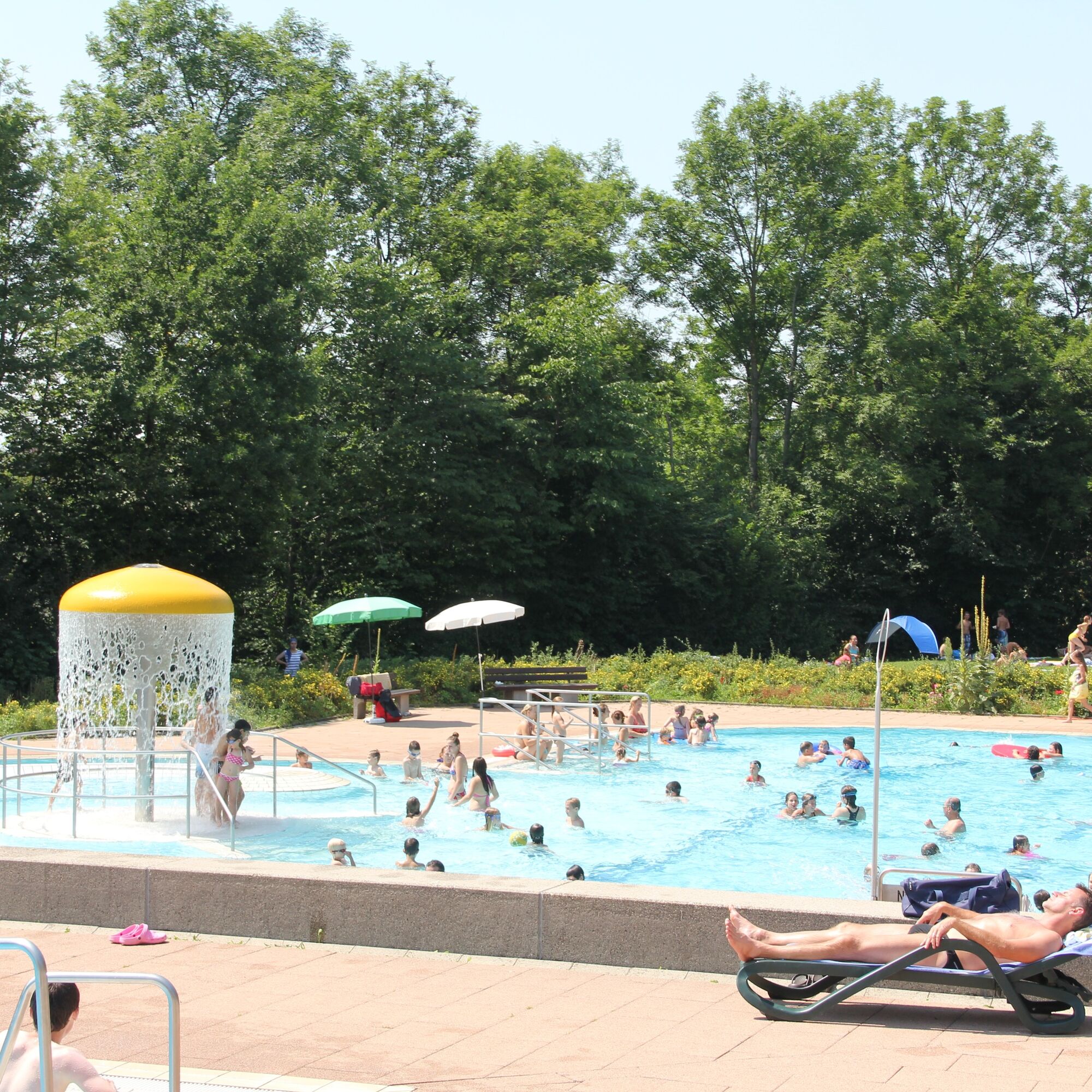
Parking at the Freibad parking lot in Donzdorf
T2
Respectful Coexistence in the Göppingen District.
Code of Conduct:
Respect trail closures and the quiet zones established in the recreational trail plan. Leave no trace—such as trash or animal waste—and treat the trails with care. Be proactive and considerate. Adapt your behavior to the situation at hand. Safety comes first. Respect other users of the woods and open fields. Be considerate of animals and plants. Plan ahead and make the most of daylight. Try to avoid the early morning and evening twilight hours. Observe the ban on entering agricultural land during the growing season. Stay on marked trails and avoid forest edges; this helps wildlife get used to people.For more information, visit ruecksicht-macht-wege-breiter.de
Donzdorf Outdoor Pool
Popularne wycieczki w okolicy
- 4,5
Löwenpfad "Orchideenpfad" - Herbs, Pasqueflower and Juniper Heathlands
średniWędrówka 9,33 km - 4,9
Löwenpfad "Staufer-Runde" - Barbarossa's traces before a dreamlike backdrop
średniWędrówka 11,3 km - 5,0
Löwenpfad "Heldentour" - The king stage of the Löwenpfade
ciężkiWędrówka 23,6 km - 4,4
Löwenpfad "Geislinger Felsen-Tour" - up and down through the Eybach valley
średniWędrówka 10,8 km - 4,5
Löwenpfad "Weitblick-Tour" - High up and far-reaching view
ciężkiWędrówka 12,0 km - 4,7
Löwenpfad "Filstalgucker" - views from the heart of the Filstal valley
średniWędrówka 13,0 km - 3,7
Löwenpfad "Wasserberg-Runde" - pure panorama and typical Swabian Jura landscapes
ciężkiWędrówka 12,0 km - 4,3
Löwenpfad "Steigen Tour" - Along the Swabian Landmark of the Century
ciężkiWędrówka 17,3 km - 3,7
Three Emperors' Mountains Loop Hike
ciężkiWędrówka 25,8 km - 3,5
Lion trail "Messelberg tour" - hiking with impressive views
średniWędrówka 7,72 km

Wędrówki i tropienie


Nie przegap ofert i inspiracji na następne wakacje
Twój adres e-mail została dodana do listy mailingowej.





