







Anniversary hike "50 years Calw district" - Stage 5 - From Dobel to Bad Herrenalb
Places to eat:
Dobel's Stüble in Dobel Hotel Restaurant Lamm in Rotensol Café Paradiso in Bad HerrenalbPlaces to eat:
Dobel's Stüble in Dobel Hotel Restaurant Lamm in Rotensol Café Paradiso in Bad Herrenalb
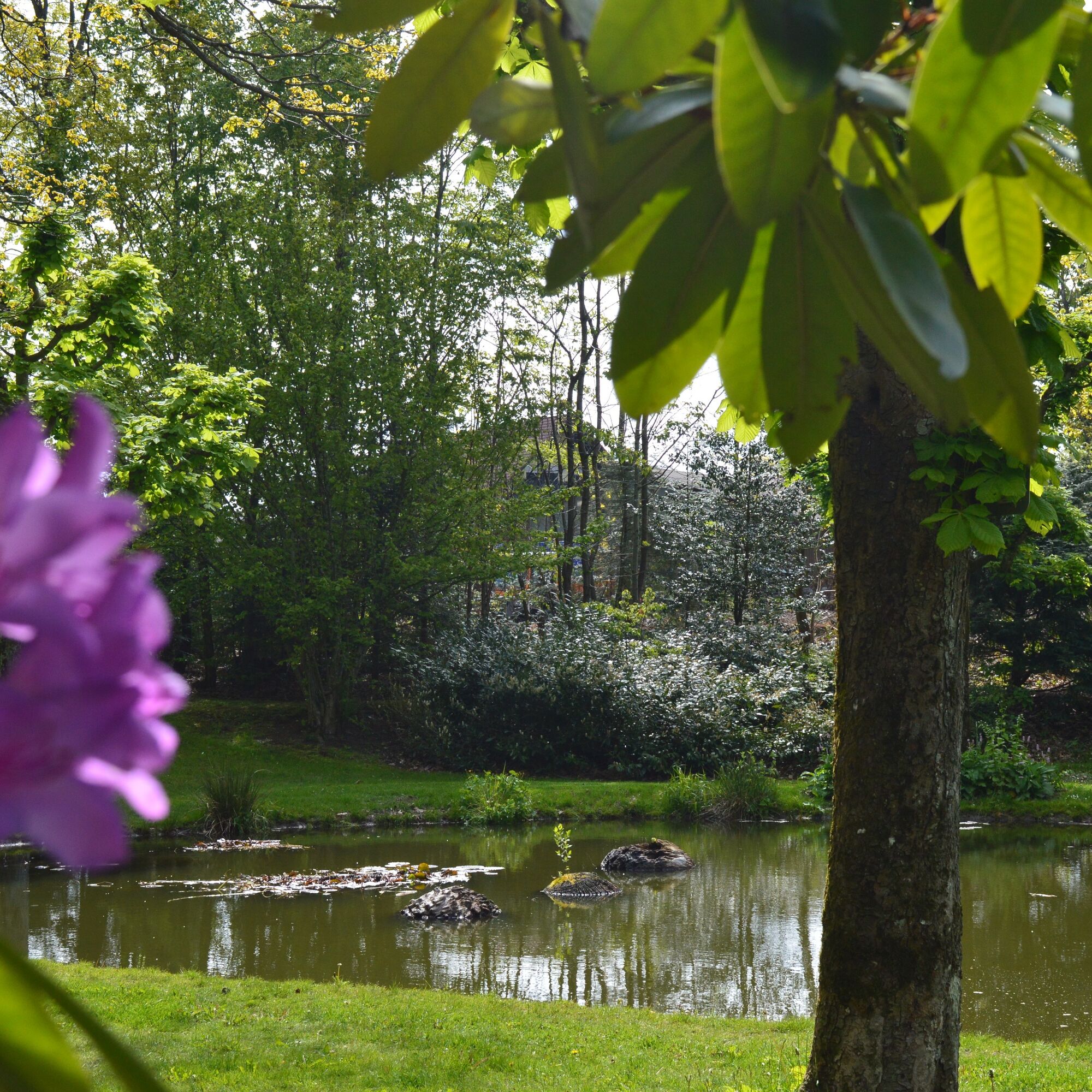
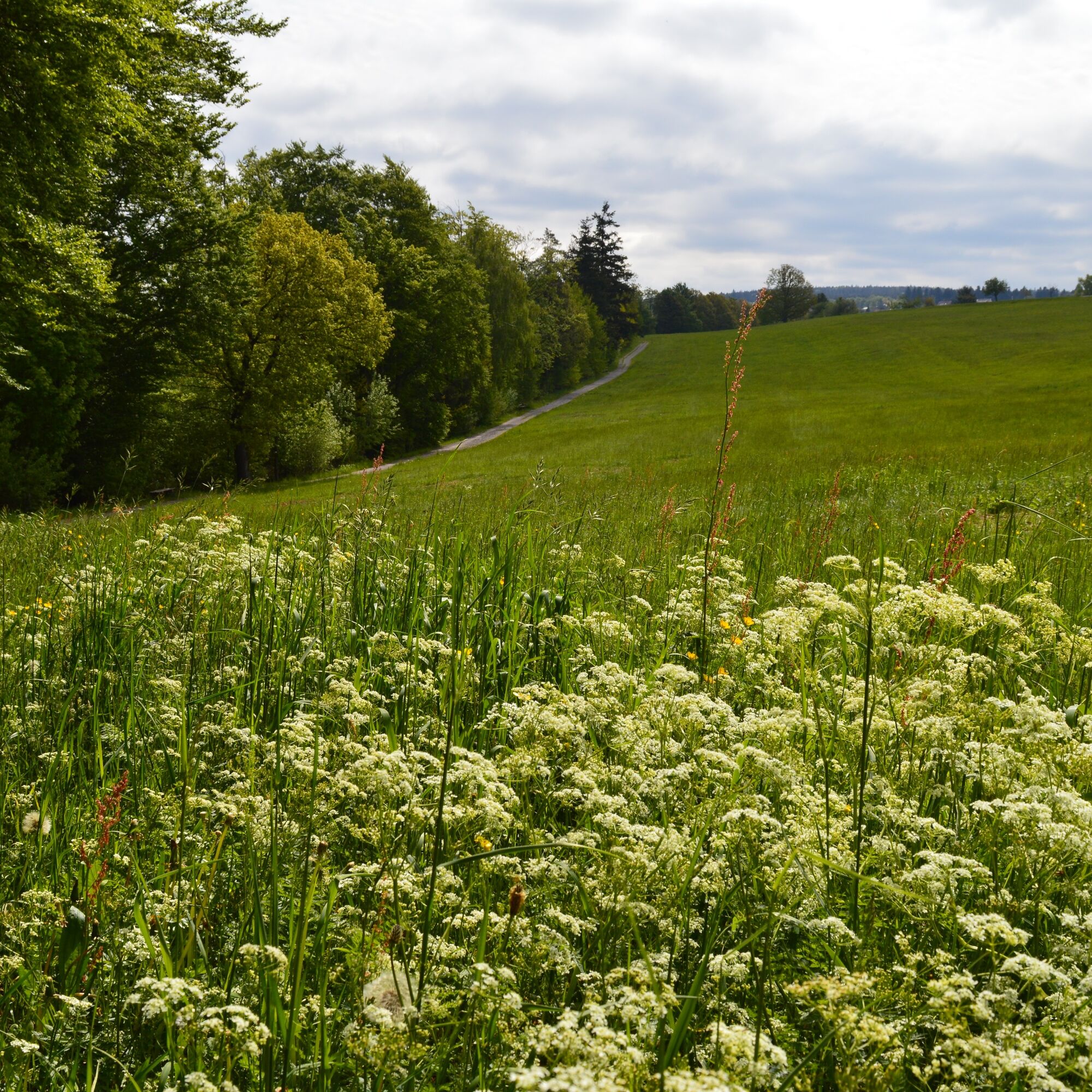
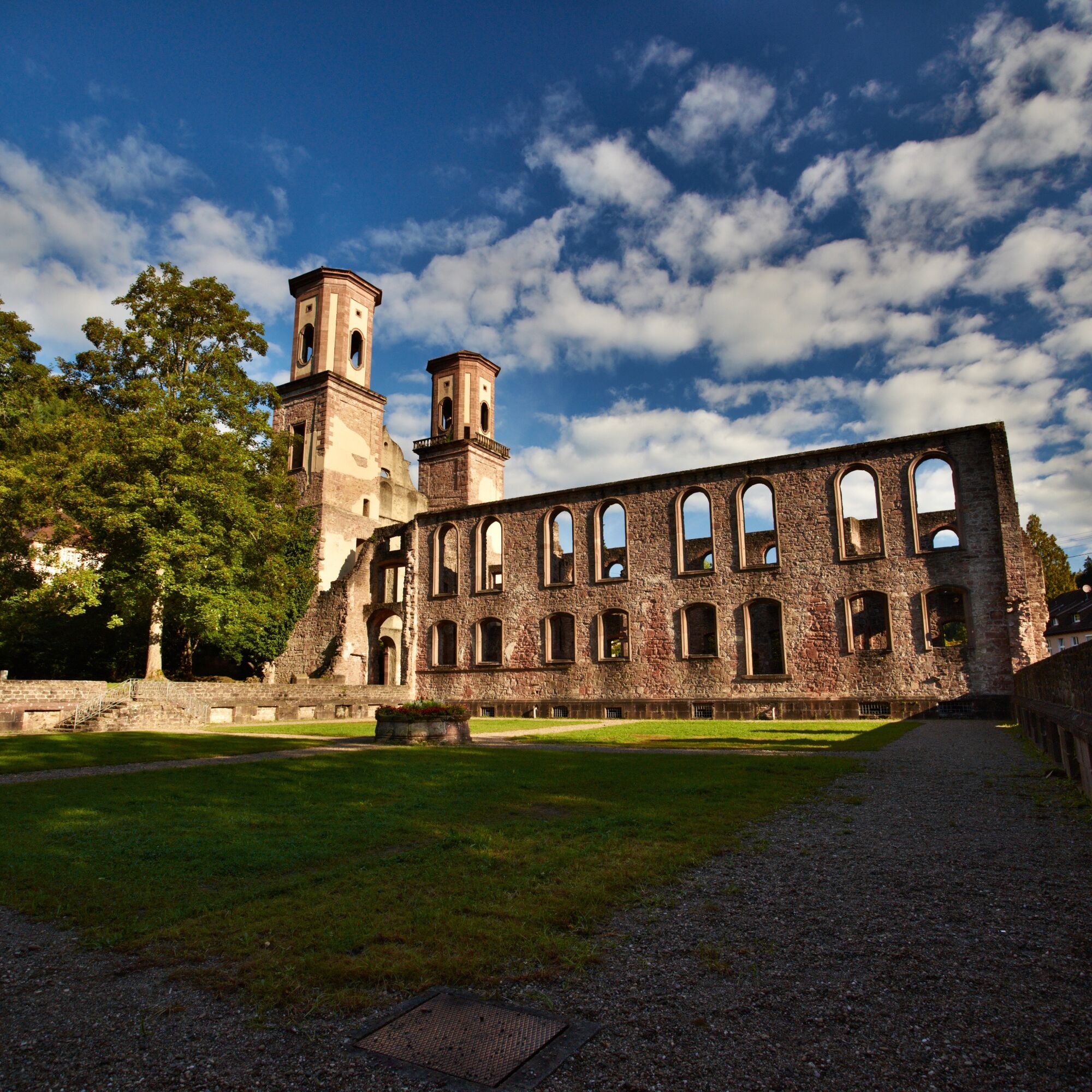
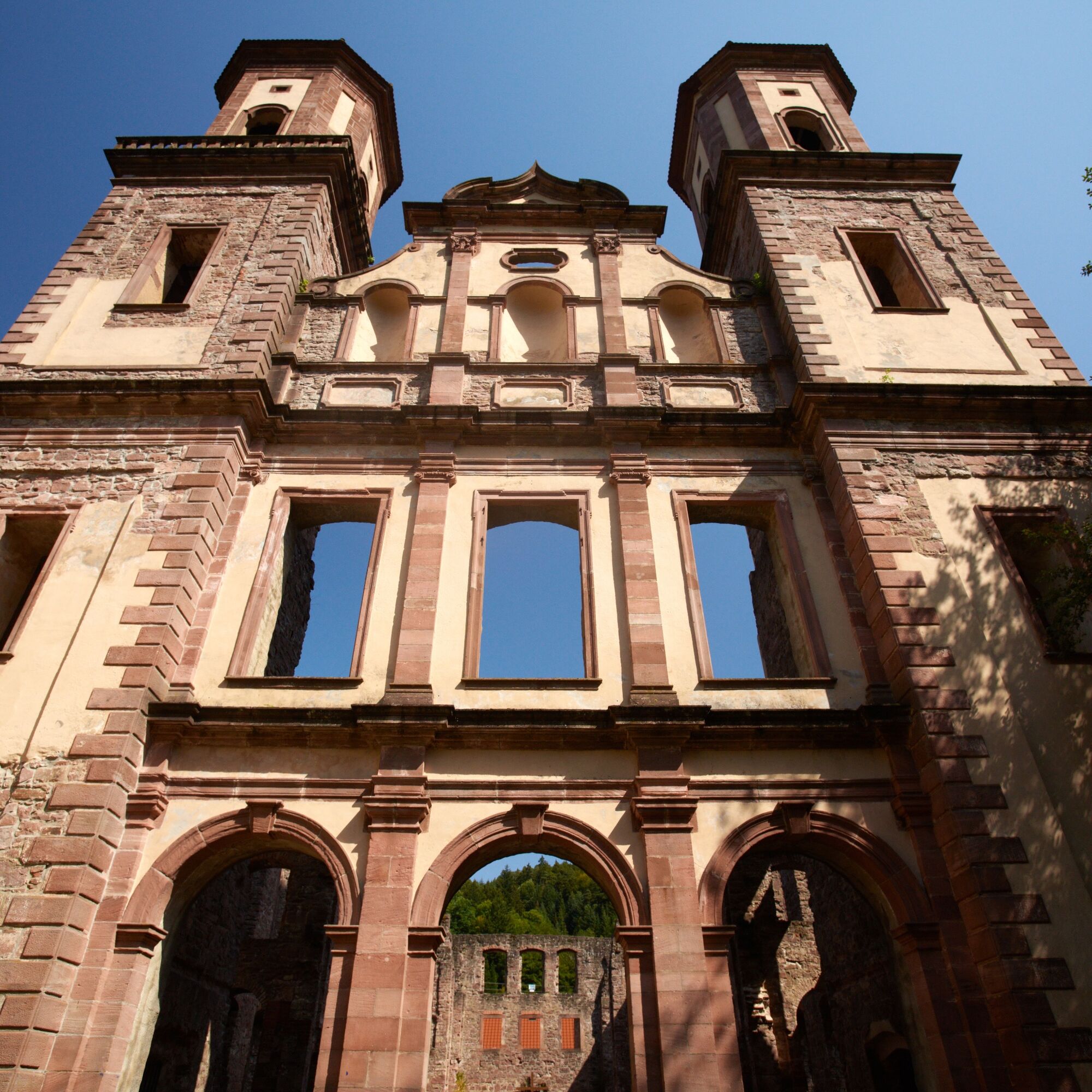
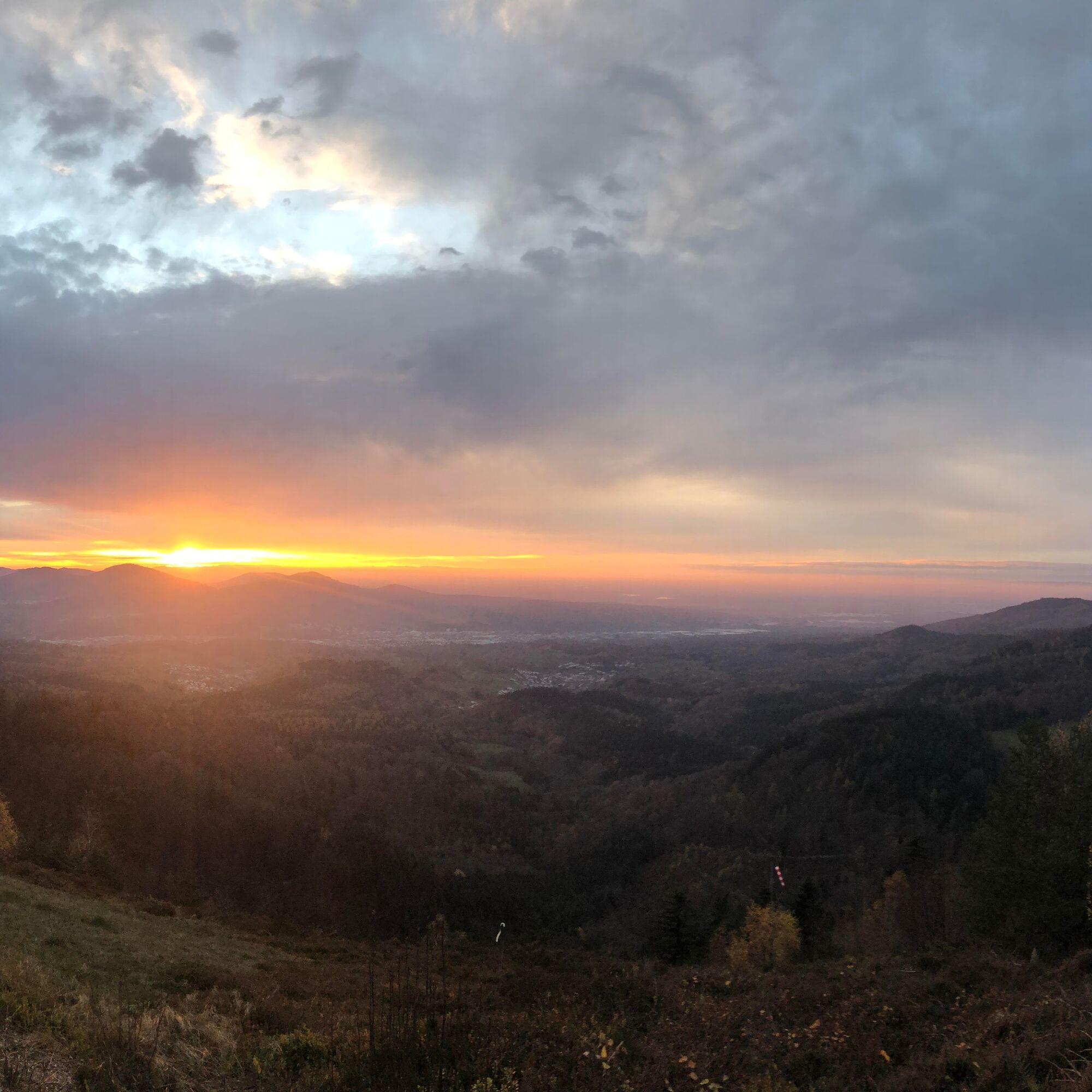
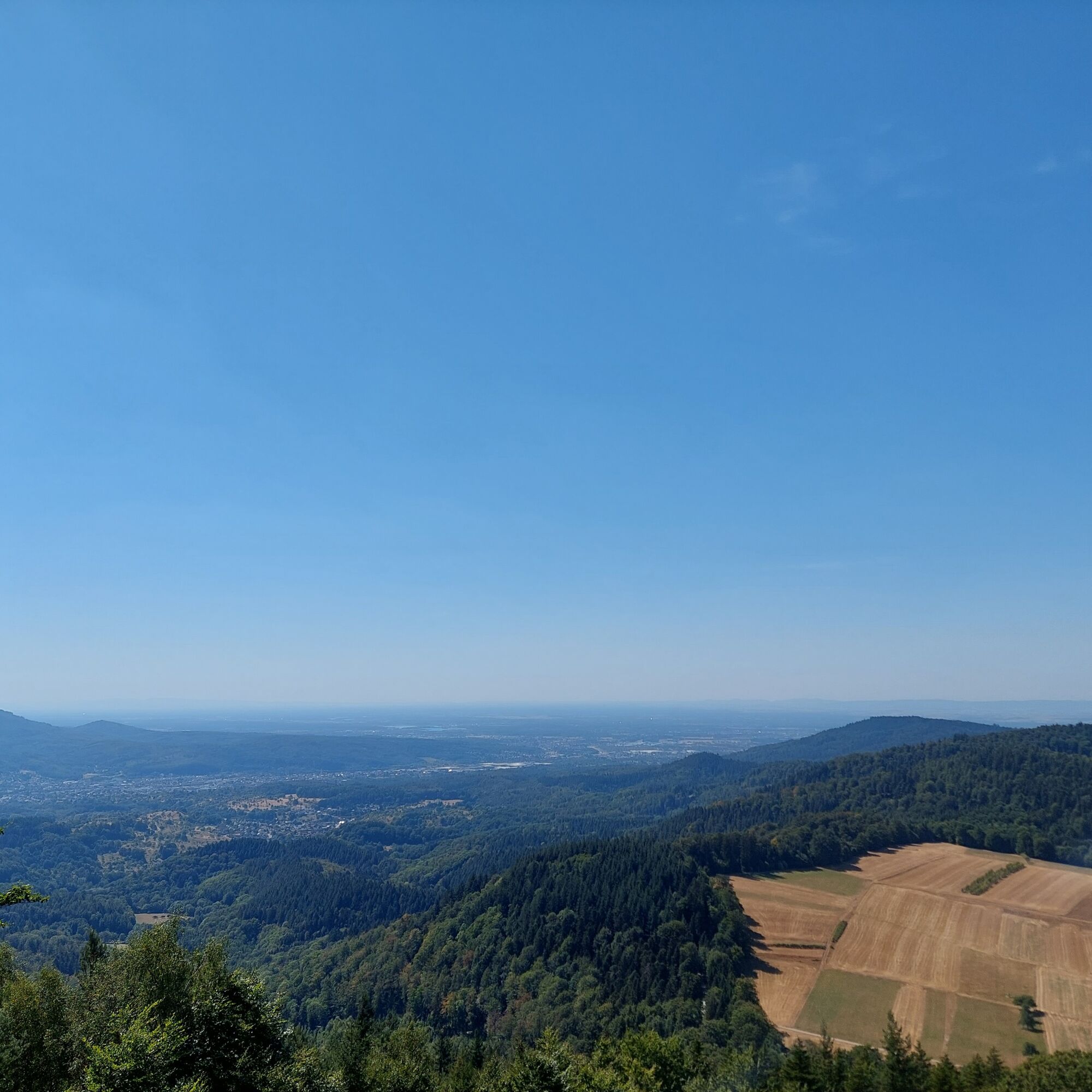
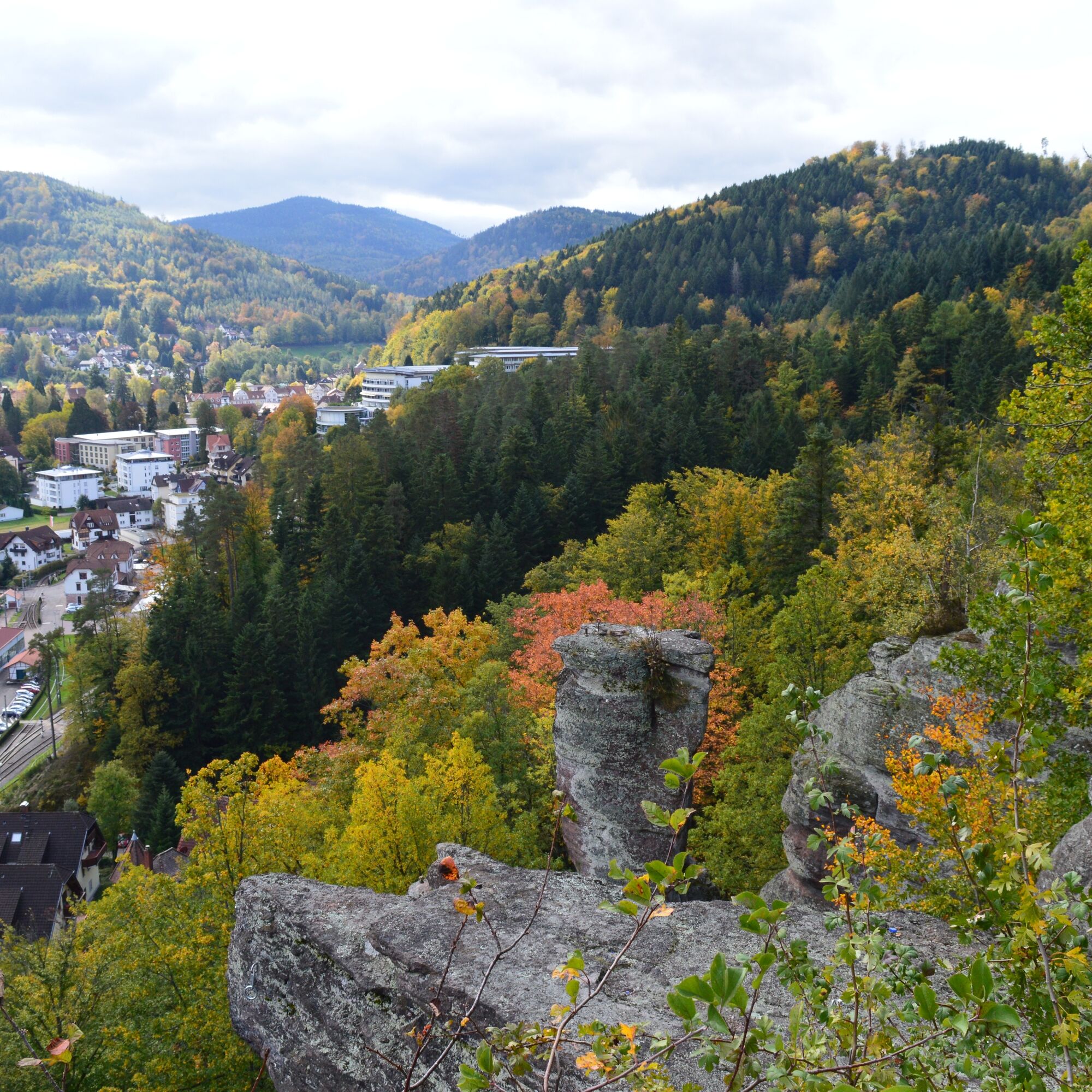
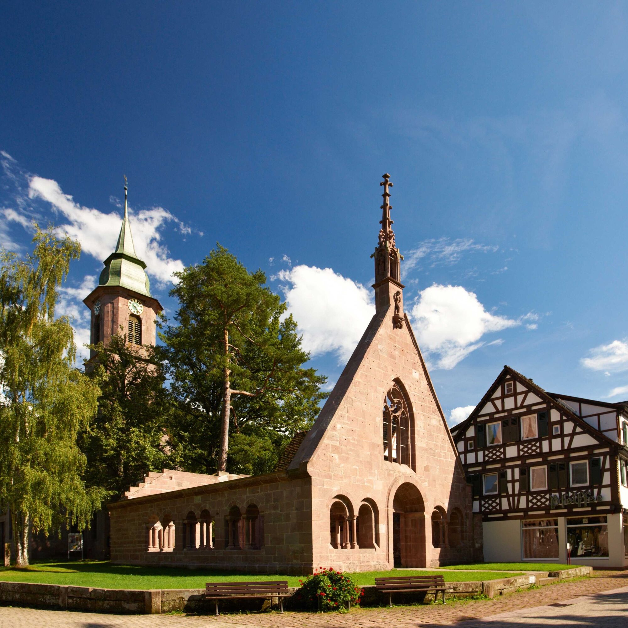

The hiking routes run almost exclusively on the marked trail network of the Black Forest Association. Follow the signposts and diamonds!
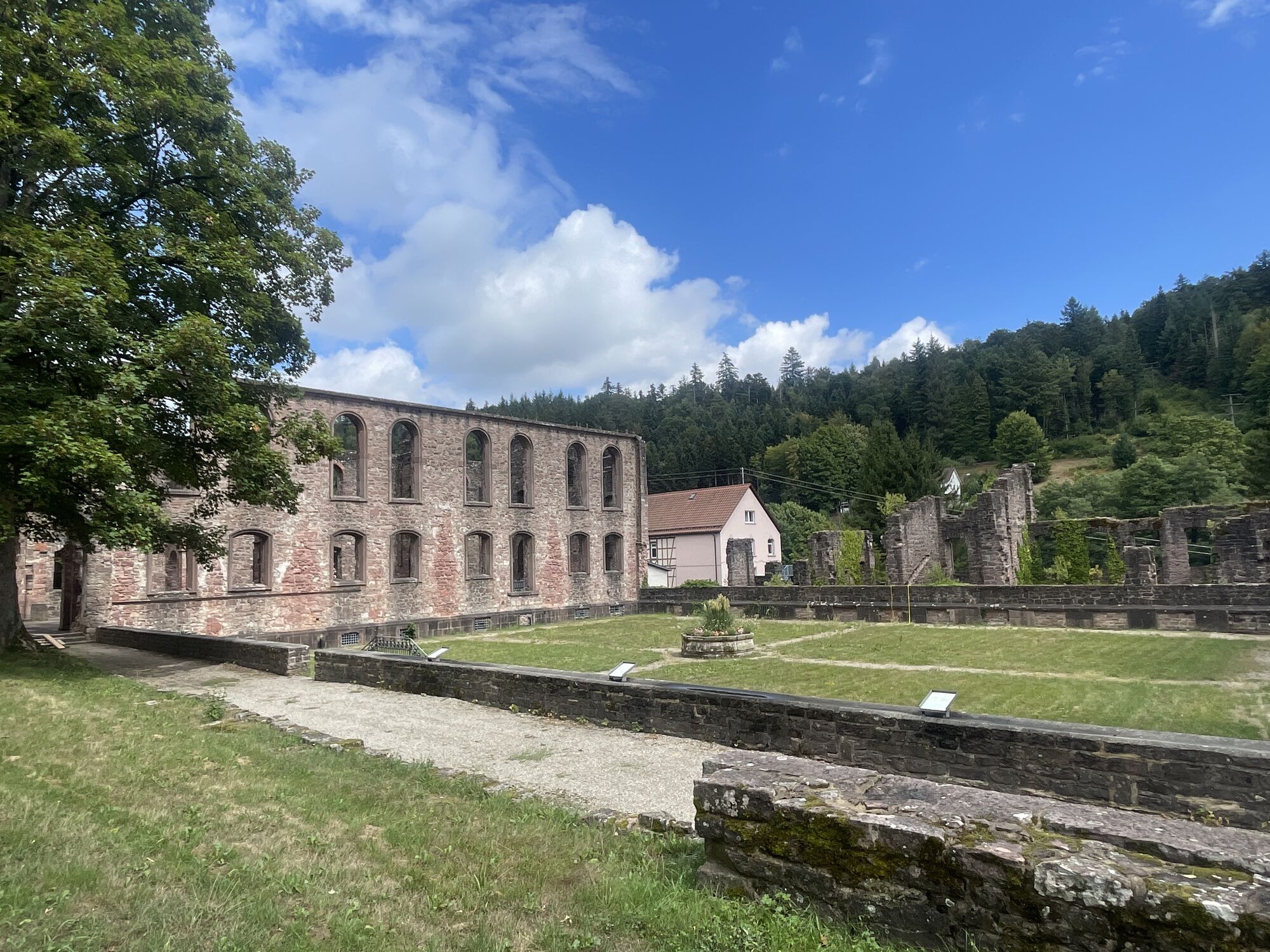
Bus stop Dobel East Center - WWS Dobel schoolhouse - WWS Frauenwäldle - WWS Katzenweg - WWS Neusatz pond - WWS Neusatz height - WWS Rotensol heath - WWS Rotensol at Grenzweg - WWS Heideberg - WWS Frauenalb train station - WWS Frauenalb monastery - WWS Frauenalb Bernbacher Steigle - WWS Frauenalb Steigle - WWS Ziegenbuckel - WWS Großklosterwald - WWS Bernbacher Heath - WWS Schneebach - WWS Bernbach community hall - WWS Bernbach church - WWS Bernbach Hellenweg - WWS Bernbach at the Heck - WWS barbecue area Tannschach - keep left on Holländersteige - hang glider site - Heiligenwaldebene path - WWS under Mauzenstein - WWS Mauzenstein - WWS Pfahlwald - August Bechtle shelter - Falkenstein rock - Falkenstein path - church path - under the rocks (stairs) - Siebentäler thermal bath - WWS Bad Herrenalb train station - train/bus stops Bad Herrenalb
Tak
Sturdy and broken-in footwear, (digital) map material, stamp booklet, provisions, possibly walking sticks, rainproof clothing
L340 from the Enz and Alb valleys
The X63 line runs every 60 minutes from Calw to Bad Herrenalb with stops in Bad Wildbad and Dobel.
The S1 runs every 60 minutes from Karlsruhe to Bad Herrenalb with a stop in Frauenalb.
Parking lot at the spa house
Parking lot at the sports field
Parking lot Horntannenhalde
Tourismus GmbH Northern Black Forest
Sonnenweg 5
75378 Bad Liebenzell
07052-8169770
Uzyskaj wgląd
Zawsze na żywo z ponad 9 500 kamer internetowych. bergfex Jako użytkownik Pro, możesz teraz zobaczyć odpowiednie kamery internetowe dla wielu wycieczek w aplikacji wycieczki od. Pozwala to na bezpośredni podgląd aktualnych warunków.
Popularne wycieczki w okolicy
-
5,0
Circular route via spring nature trail and Wurstberg
światłoWędrówka 8,08 km -
4,8
Eyach round
średniWędrówka 7,84 km -
4,2
Kaltenbronn Circular Route No. 1 - Wildsee Moor Loop
światłoWędrówka 8,30 km -
3,0
Dobel High-Altitude Route
średniWędrówka 11,8 km -
4,3
Nature experience tour Kaltenbronn
średniWędrówka 14,2 km -
4,8
Weisenbacher Steig (Rechts der Murg)
średniWędrówka 17,6 km -
AugenBlick route Bad Herrenalb Schweizerkopf
średniWędrówka 15,5 km -
4,0
Walk to Bernsteinfelsen
średniWędrówka 14,5 km -
5,0
Rundwanderweg Sulzkar
średniWędrówka 12,4 km -
4,0
Bad Herrenalb town circuit
średniWędrówka 10,5 km
Wędrówki i tropienie


Nie przegap ofert i inspiracji na następne wakacje
Twój adres e-mail została dodana do listy mailingowej.





