







Panorama trail under the Hohenstein
Poziom trudności: T1
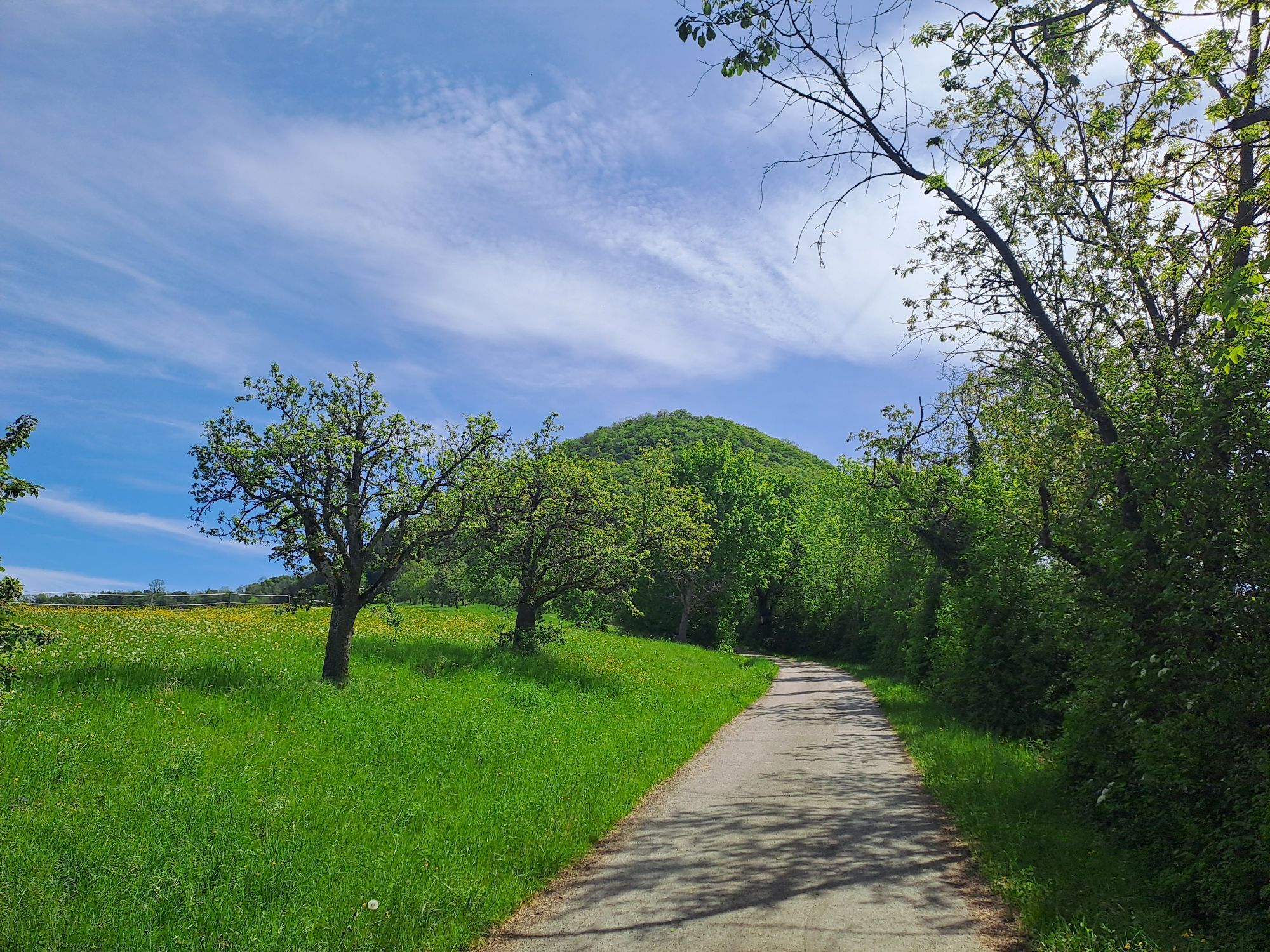
Situated on the Albtrauf Landscape Park and the Fils Landscape Park, the municipality invites you to explore its many attractive hiking trails. The Albtraufgängerweg offers a particularly impressive opportunity...
Situated on the Albtrauf Landscape Park and the Fils Landscape Park, the municipality invites you to explore its many attractive hiking trails. The Albtraufgängerweg offers a particularly impressive opportunity to experience the Albtrauf in all its beauty. The trail winds its way through idyllic orchards and shady hillside forests, accompanied by sweeping panoramic views of the Alb foreland and the Stuttgart region.
A particular highlight of the region is the fruit nature trail in the "Schnait" district. This trail impresses with its majestic, old cider pear trees, which are unique in this concentration and size in the district. Another gem of the region is the "Gingener Luiken", an apple variety that is known and appreciated far beyond the municipal boundaries.
History buffs will get their money's worth on the historical circular hiking trail in Gingen. This trail is closely linked to the Filstal industrial heritage route and can be easily identified by special steles. One of these steles is located directly at the town hall and marks the starting point of the discovery tour.
The vantage point of the local mountain "Hohenstein" rewards hikers with a breathtaking view over the Filstal valley. On a clear day, the view even extends as far as the Stuttgart area, making Hohenstein one of the scenic highlights of the region.
Mayor's Office Gingen an der Fils
Bahnhofstraße 25 | 73333 Gingen an der Fils
07162 9606-0 | info@gingen.de | www.gingen.de

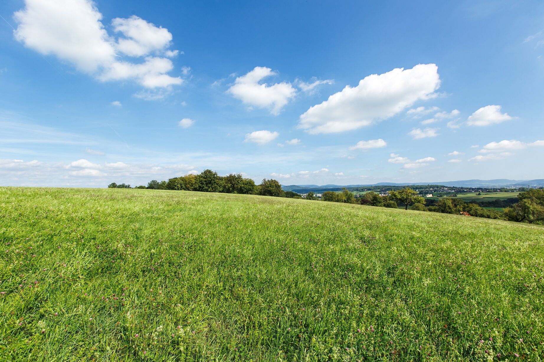
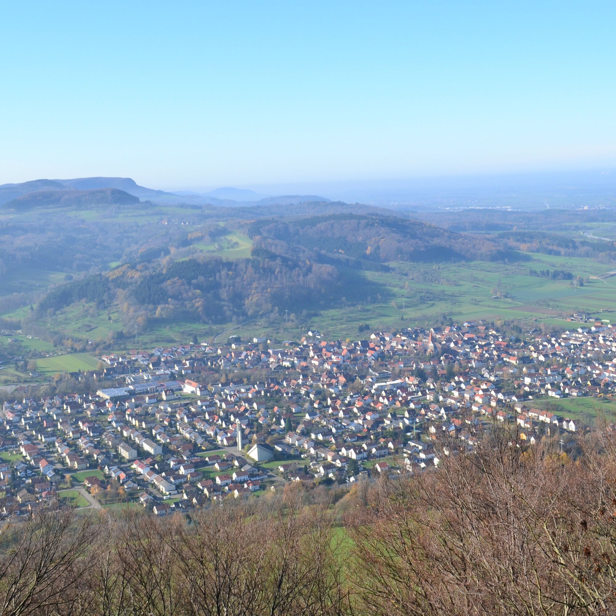
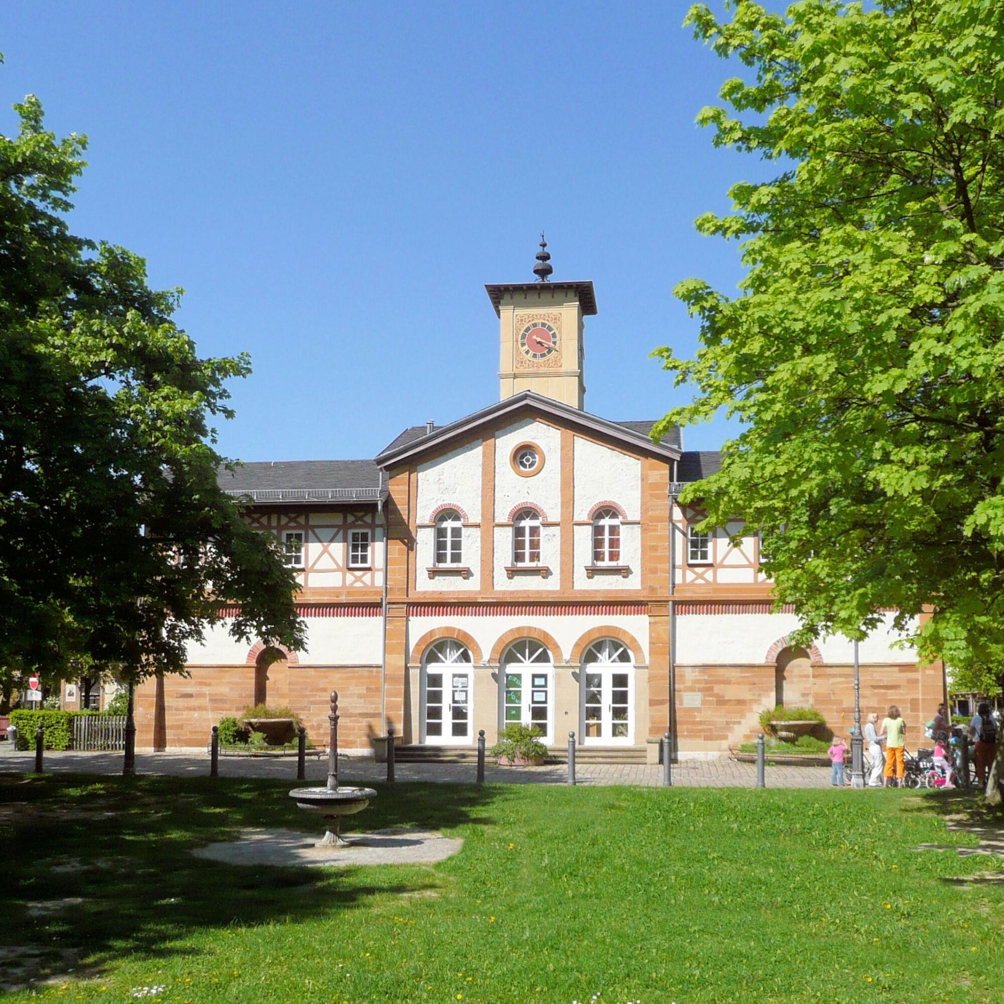

The circular route begins at the town hall and initially leads along Bahnhofstraße. After passing the underpass, the path branches off to the right towards the Sängerheim. The route continues via Jungviehweide, where the path below the forest edge path leads to the right in the direction of Kuchen. Here the route follows the panoramic path below the Hohenstein, offering impressive views over the Filstal valley. The descent finally leads through Kuchen, past the Fils, and ends in Gingen.
Wear sturdy, non-slip shoes and clothing suitable for the weather. A rucksack with water, snacks and a first aid kit is recommended.
Some paths can be slippery and dangerous when wet. Watch your steps and use walking poles for stability if necessary.
You can find the district timetable at: www.vvs.de/fahrplan
Parking lot at the town hall.
T1
Respectful cooperation in the district of Göppingen.
Code of conduct:
Respect trail closures and the quiet zones developed in the leisure trail concept. Leave no traces such as garbage and animal droppings, treat your path with care. Act with foresight and consideration. Adapt your behavior to the situation at hand. Safety first. Respect other users of the forest and meadows. Be considerate of animals and plants. Plan ahead and make the most of daylight. Try to avoid dusk in the morning and evening. Observe the ban on entering agricultural land during the growing season. Stay on the designated paths and avoid the edges of the forest so that wild animals can get used to people better.More information at ruecksicht-macht-wege-breiter.de
Popularne wycieczki w okolicy
-
4,5
Löwenpfad "Orchideenpfad" - Herbs, Pasqueflower and Juniper Heathlands
średniWędrówka 9,33 km -
4,9
Löwenpfad "Staufer-Runde" - Barbarossa's traces before a dreamlike backdrop
średniWędrówka 11,3 km -
5,0
Lion trail "Berta-Hörnle-Tour" - castle stories in a dreamlike setting
ciężkiWędrówka 14,7 km -
5,0
Löwenpfad "Heldentour" - The king stage of the Löwenpfade
ciężkiWędrówka 23,6 km -
4,4
Löwenpfad "Geislinger Felsen-Tour" - up and down through the Eybach valley
średniWędrówka 10,8 km -
4,5
Löwenpfad "Weitblick-Tour" - High up and far-reaching view
ciężkiWędrówka 12,0 km -
4,7
Löwenpfad "Filstalgucker" - views from the heart of the Filstal valley
średniWędrówka 13,0 km -
3,7
Löwenpfad "Wasserberg-Runde" - pure panorama and typical Swabian Jura landscapes
ciężkiWędrówka 12,0 km -
4,3
Löwenpfad "Steigen Tour" - Along the Swabian Landmark of the Century
ciężkiWędrówka 17,3 km -
3,5
Lion trail "Messelberg tour" - hiking with impressive views
średniWędrówka 7,72 km
Wędrówki i tropienie


Nie przegap ofert i inspiracji na następne wakacje
Twój adres e-mail została dodana do listy mailingowej.





