







Cross-border adventure trail Öhningen - Stein am Rhein

Cross-border hike to Stein am Rhein.

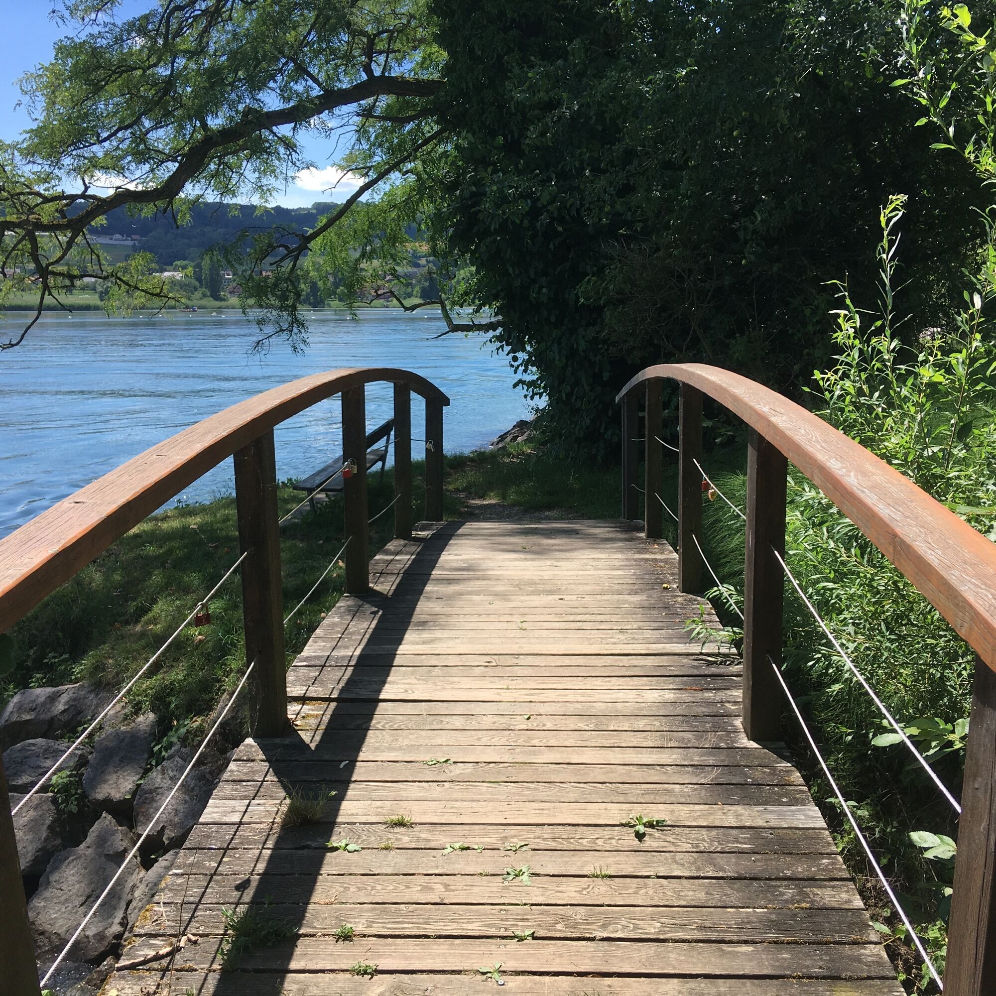
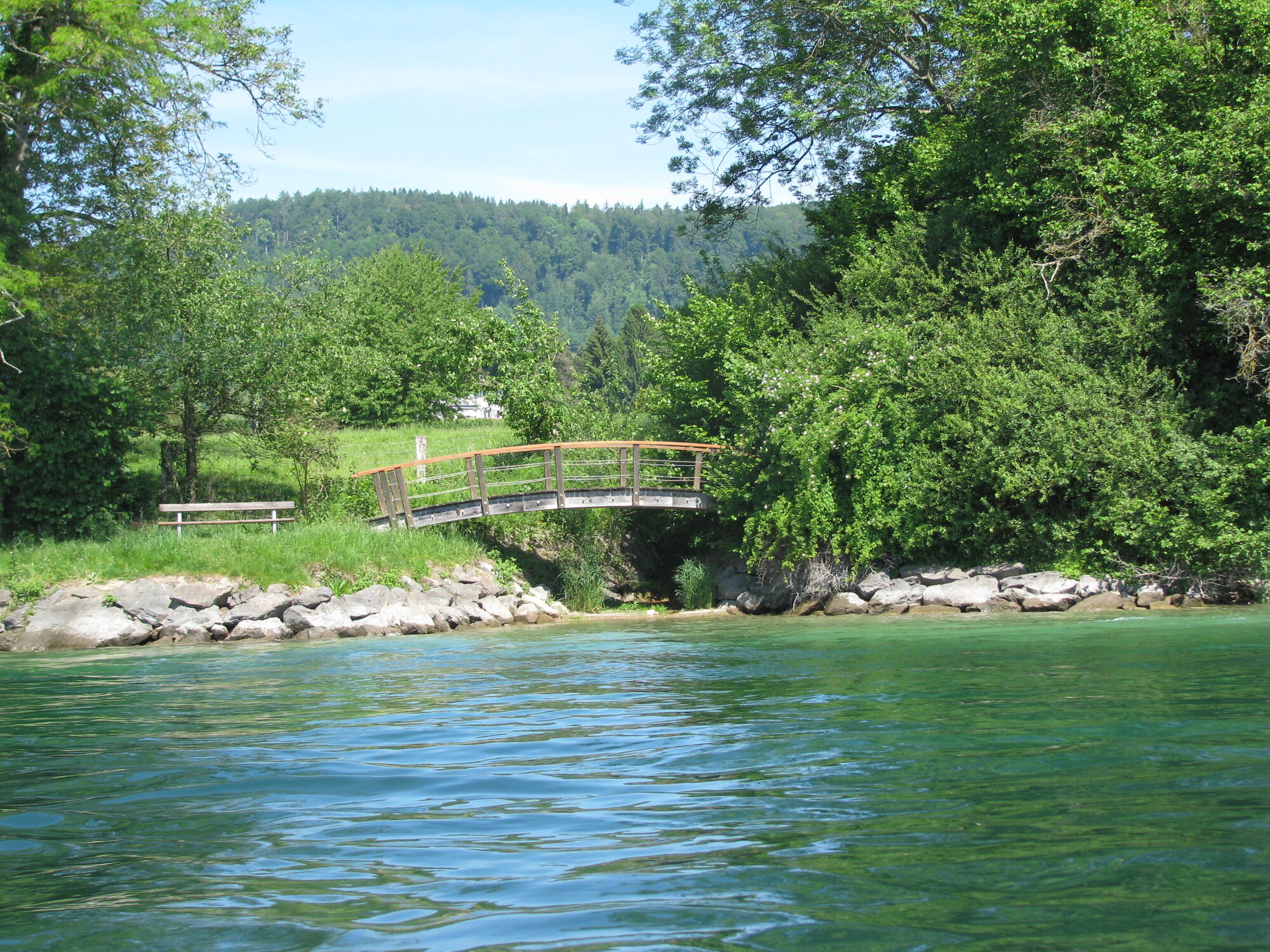
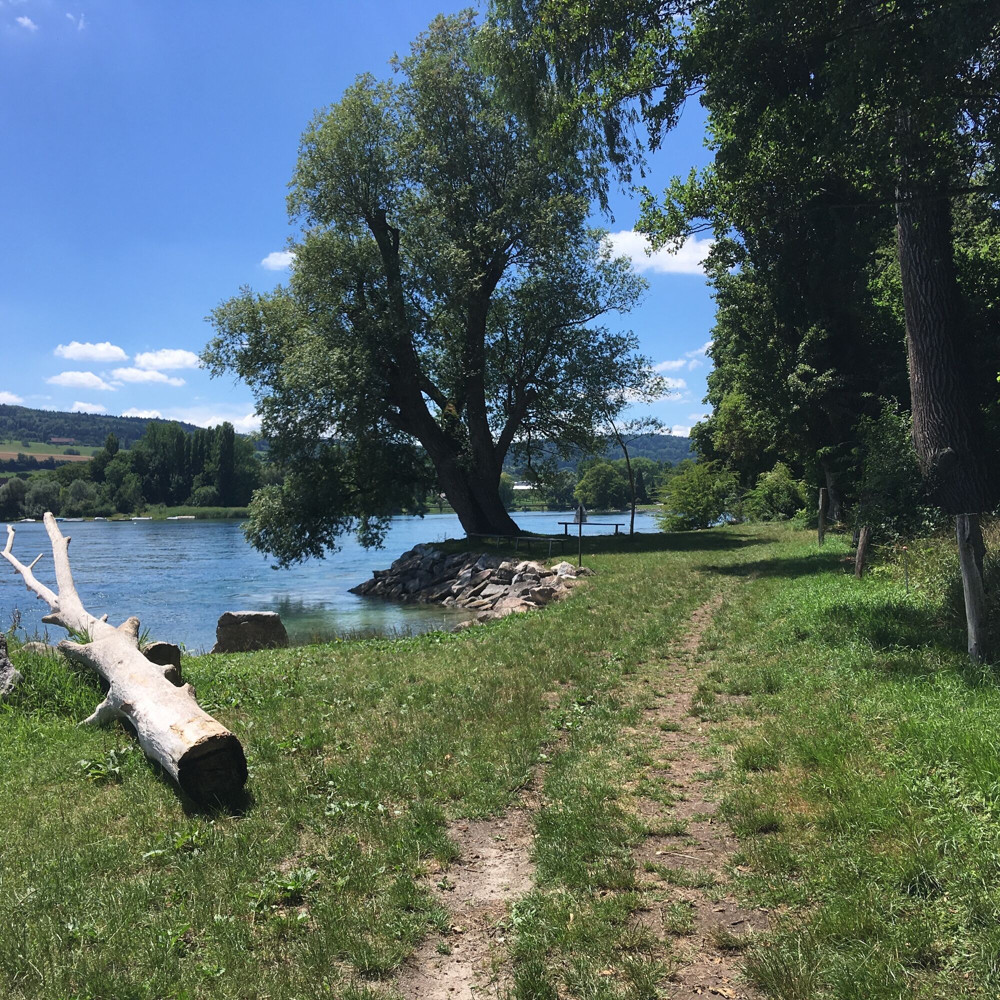
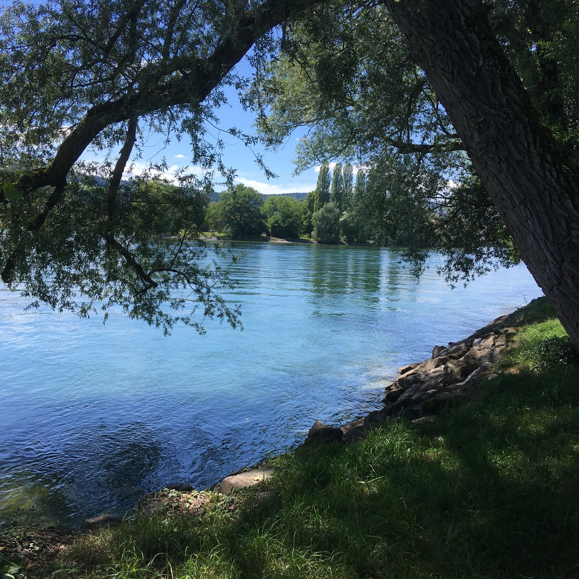
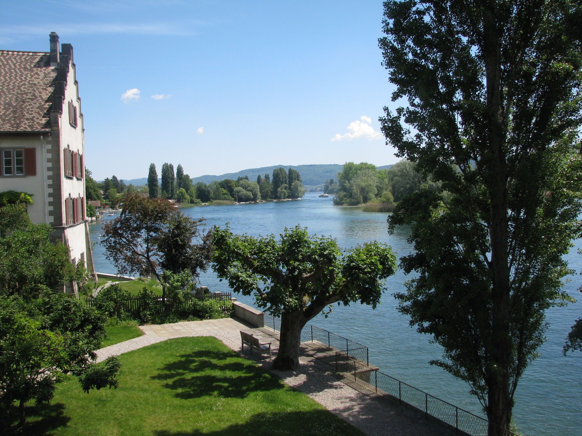
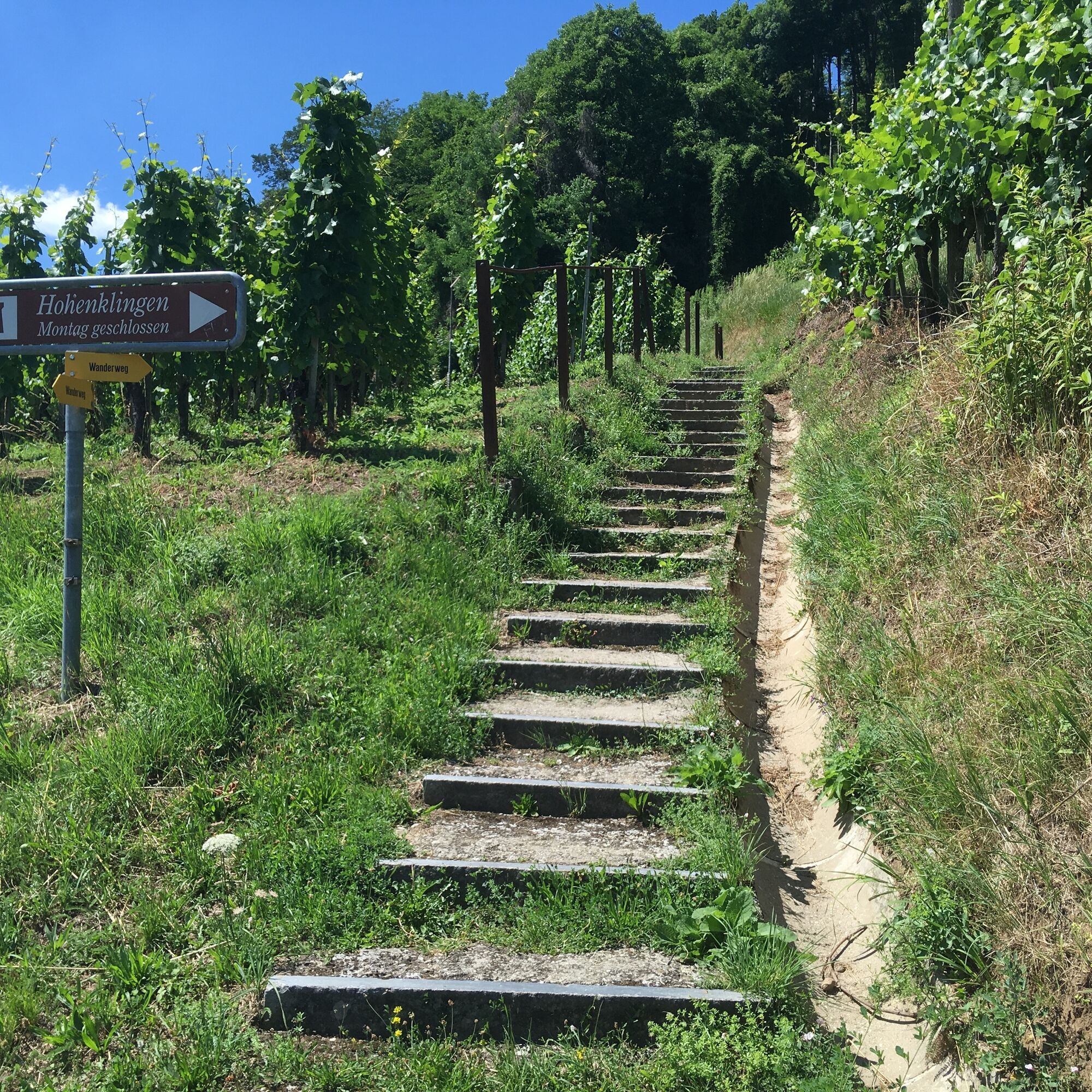
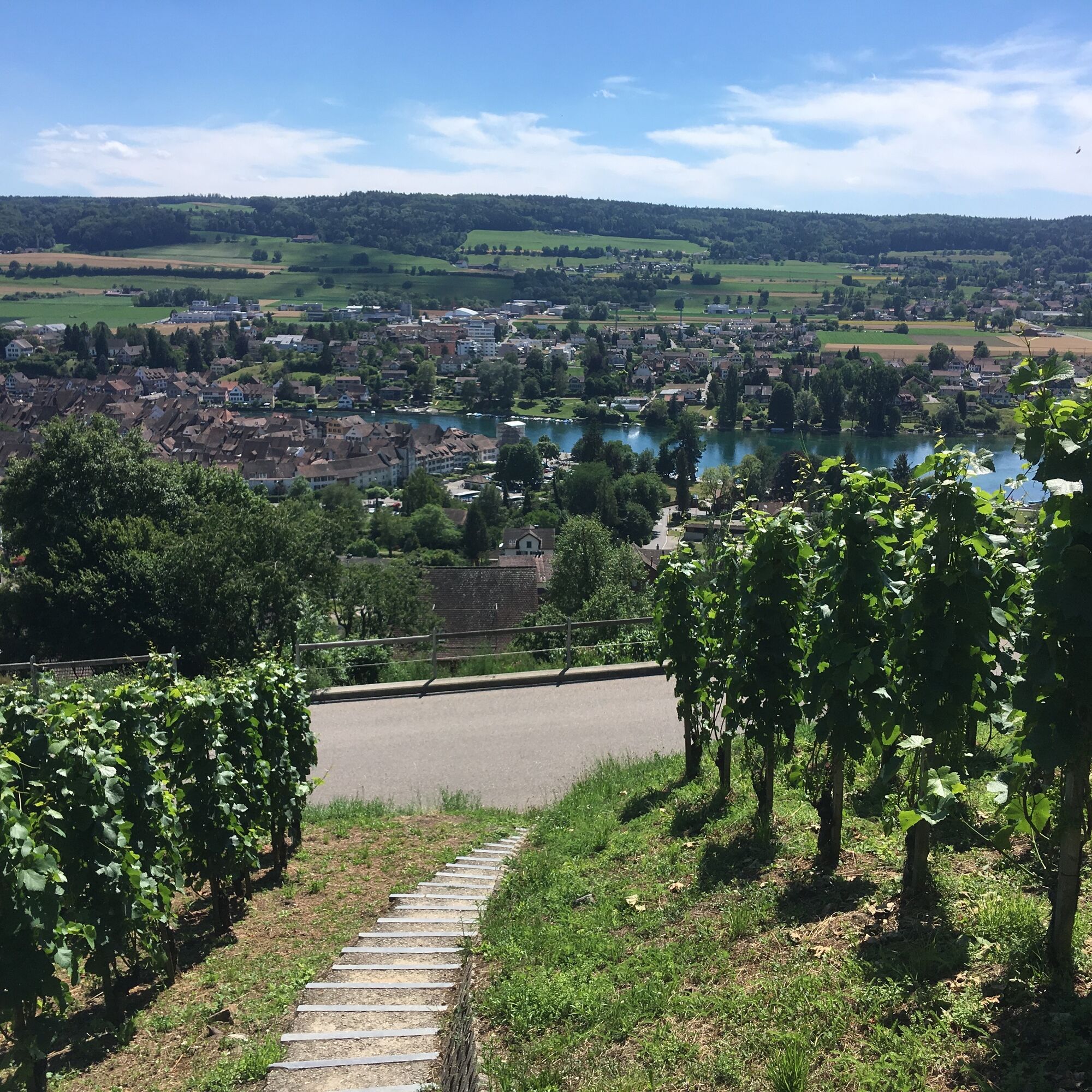
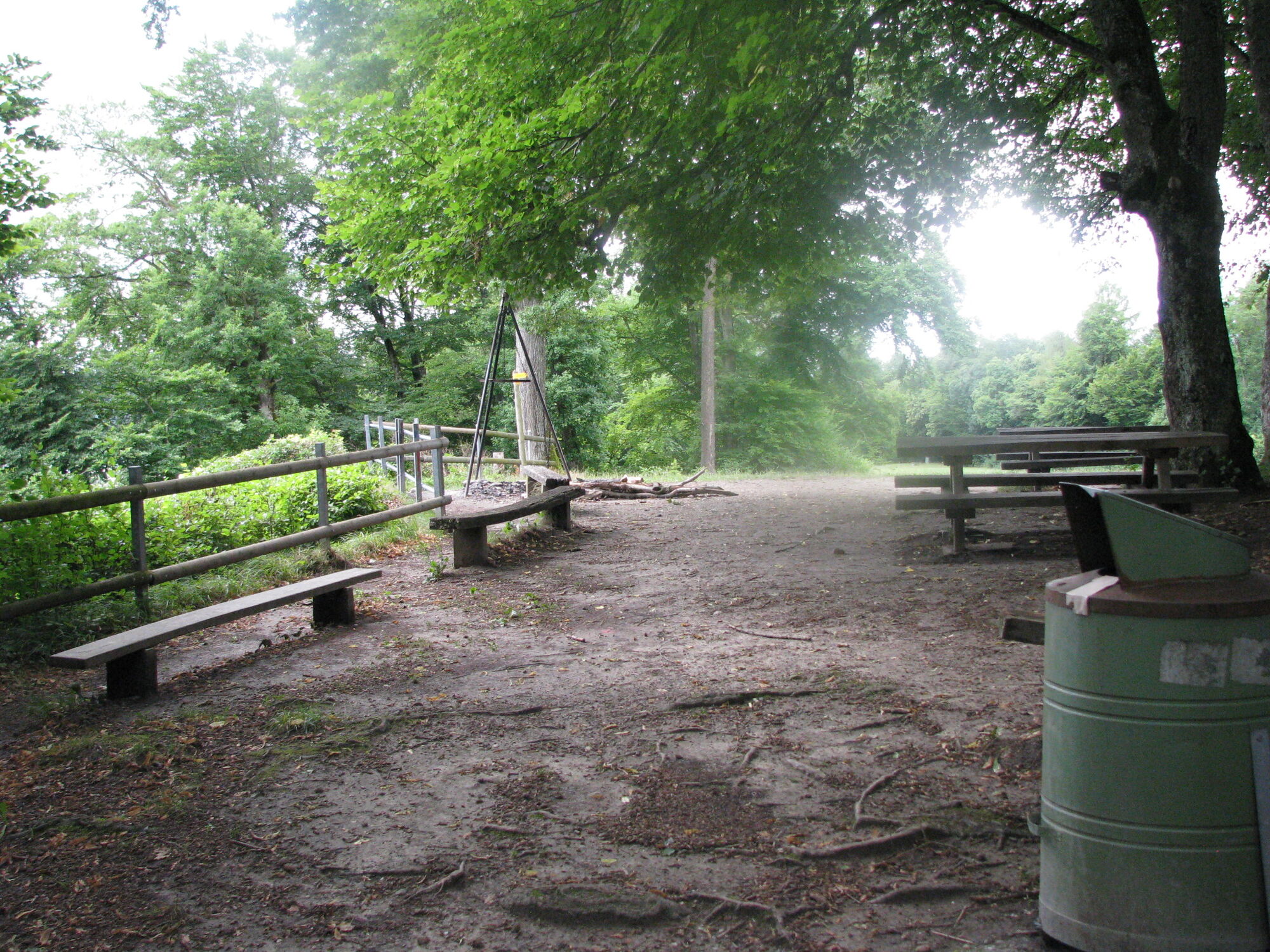
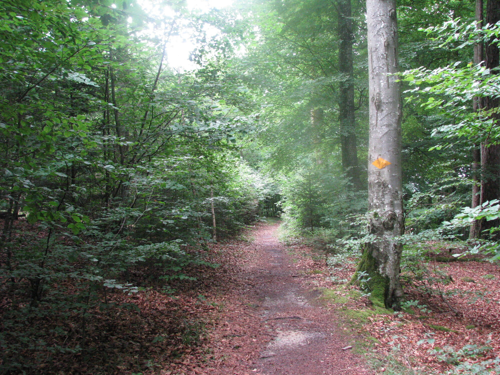
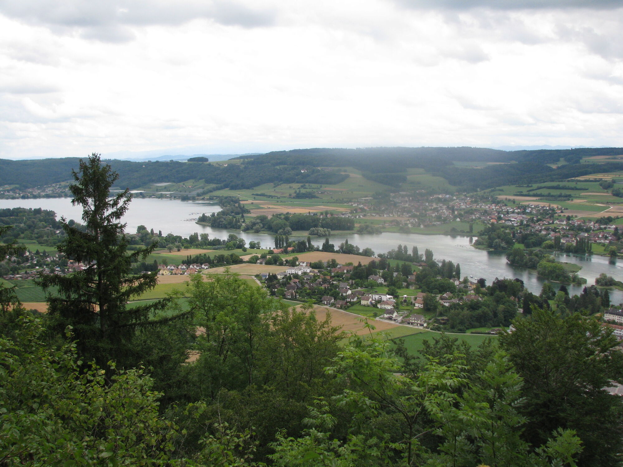
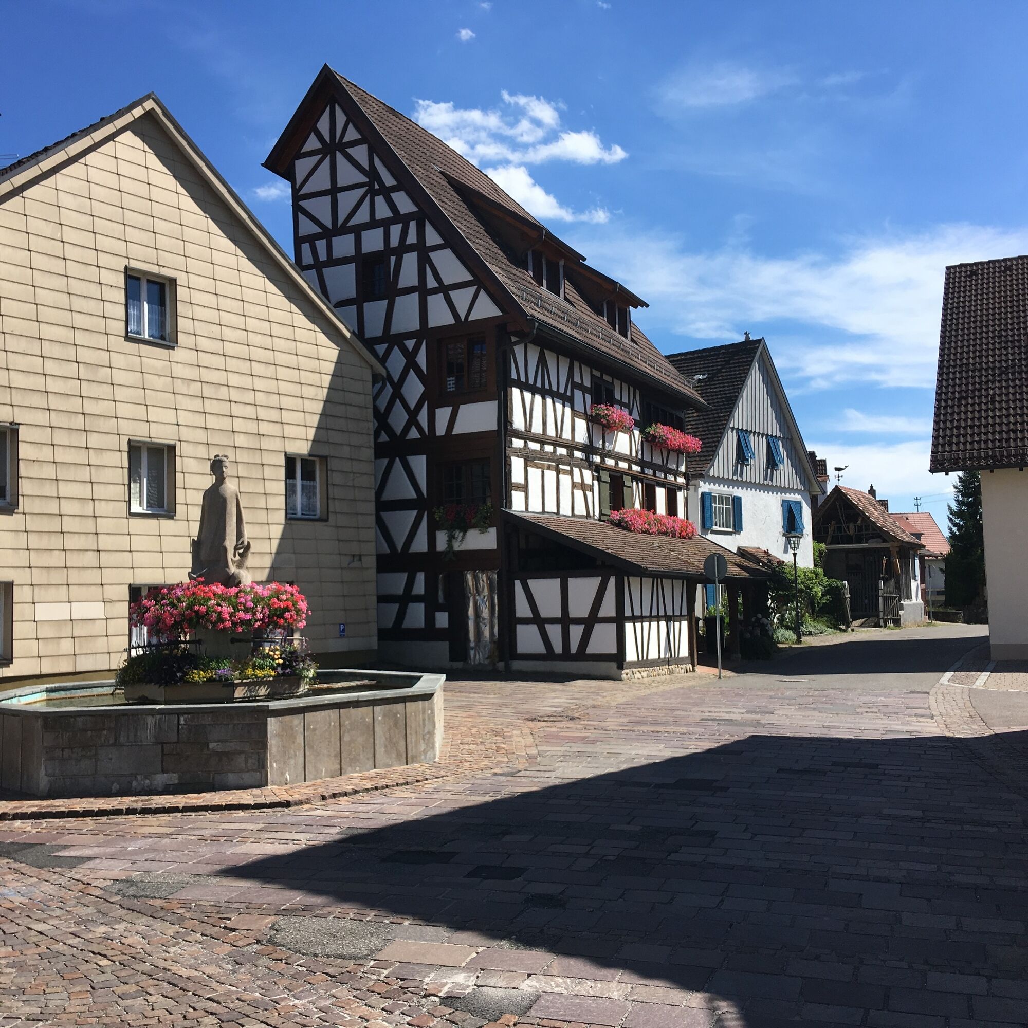
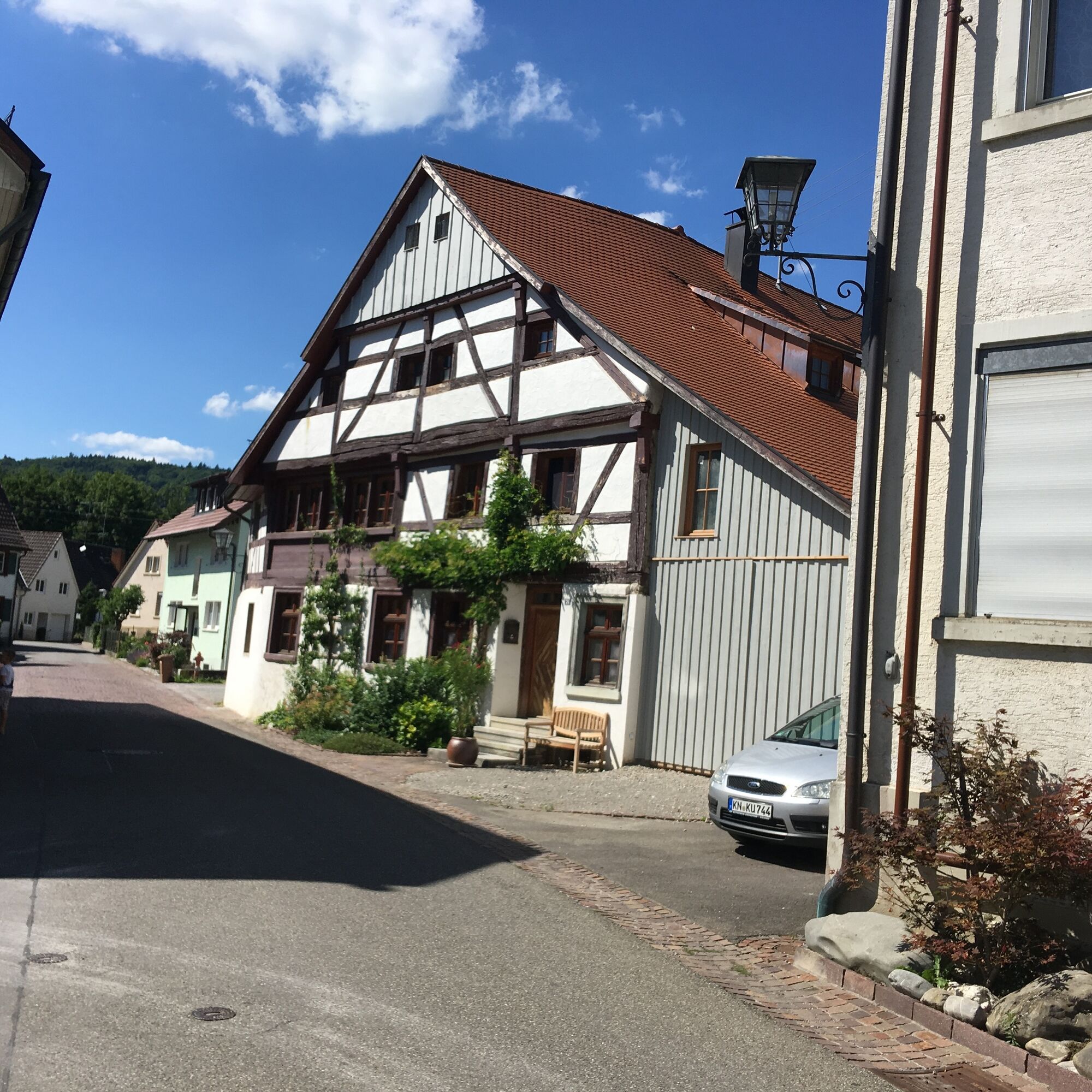
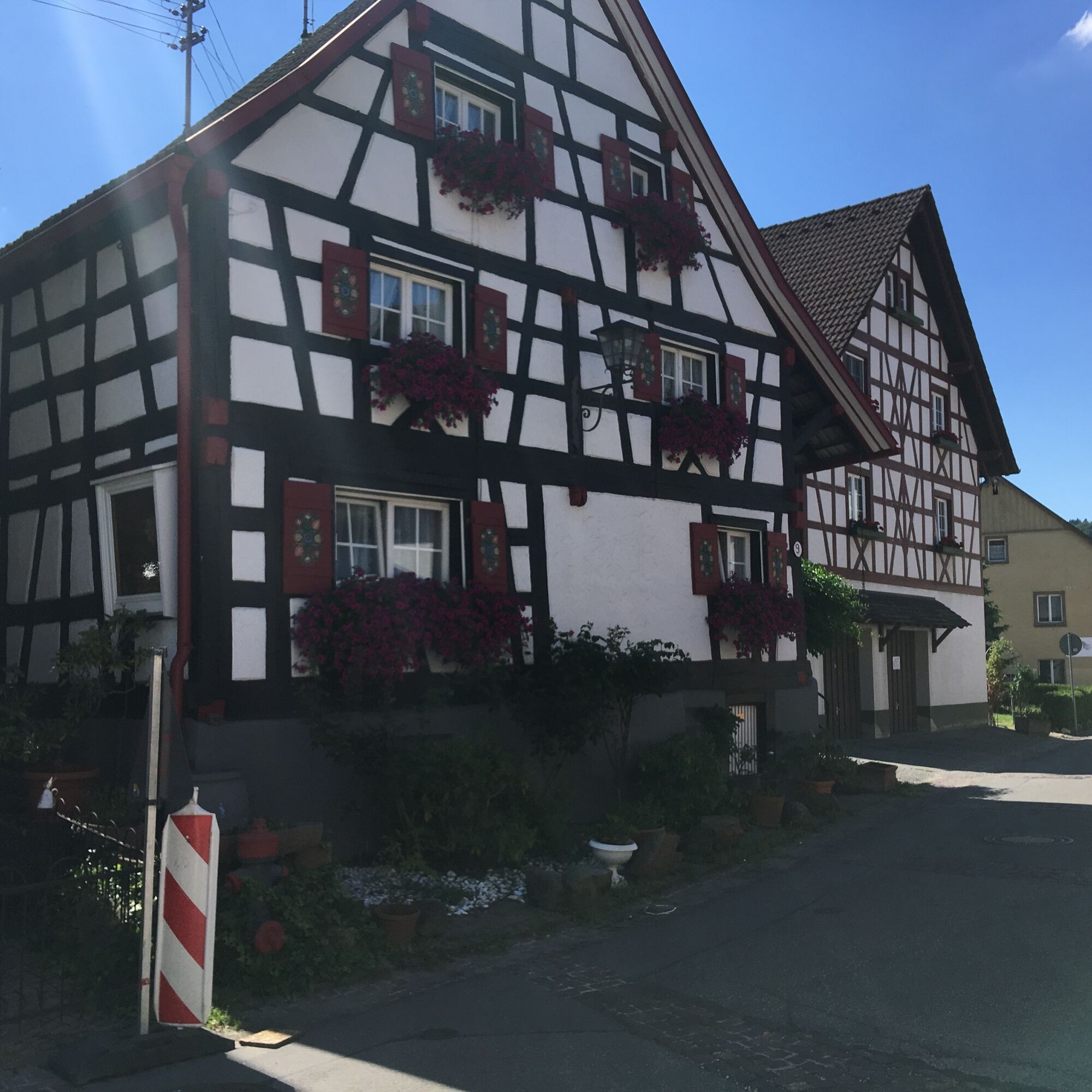
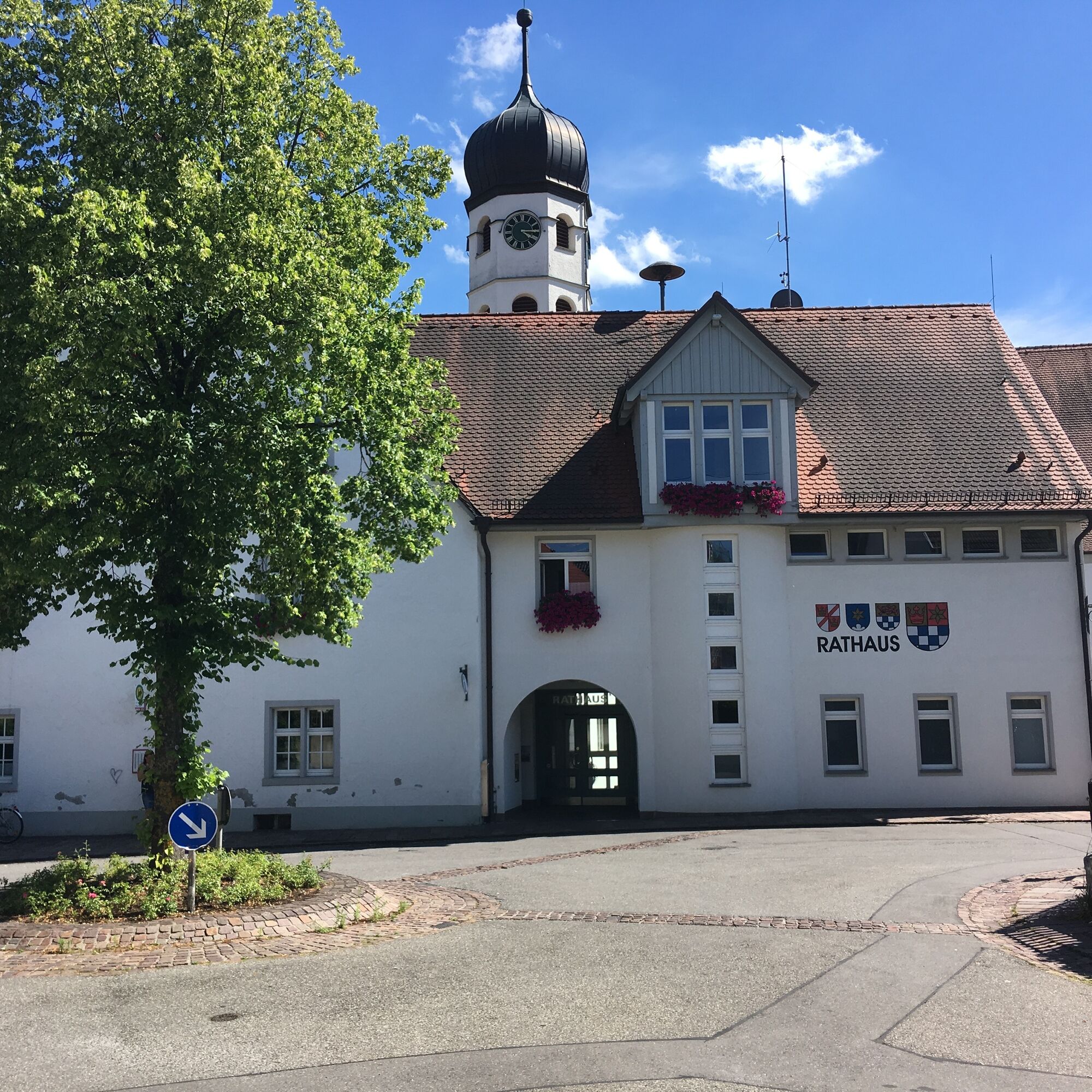

From the Öhningen Rathaus stop to the Öhningen parking lots at the sports field or lakeside swimming area to the newly created fountain square in Stiegen. On the bike path to the Swiss border. Still on the German side, a path leads to the Rainbow Bridge. After crossing this bridge, the hiking trail runs directly along the Rhine riverbank until shortly before Stein am Rhein. About 500 m along the sidewalk next to Öhningen street, the old town of Stein am Rhein begins. On the west side, after the Undertor, you reach the Wisegässli leading uphill to the right, on which, after crossing two side streets, the Hohenklingen street follows.
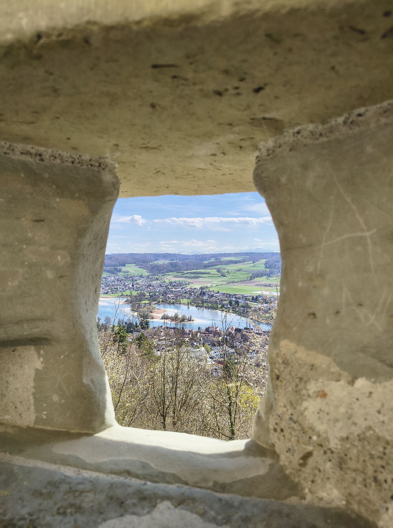
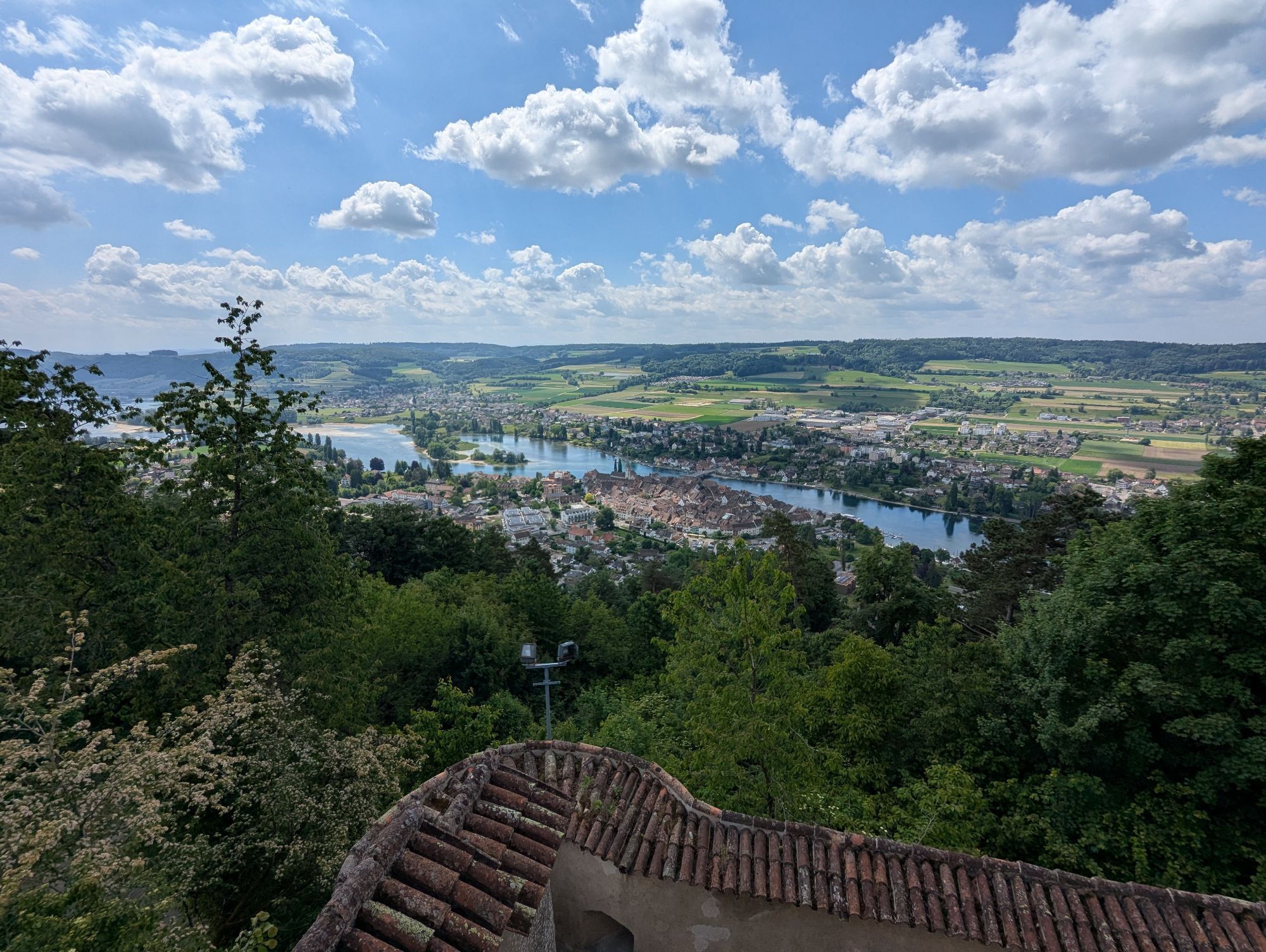
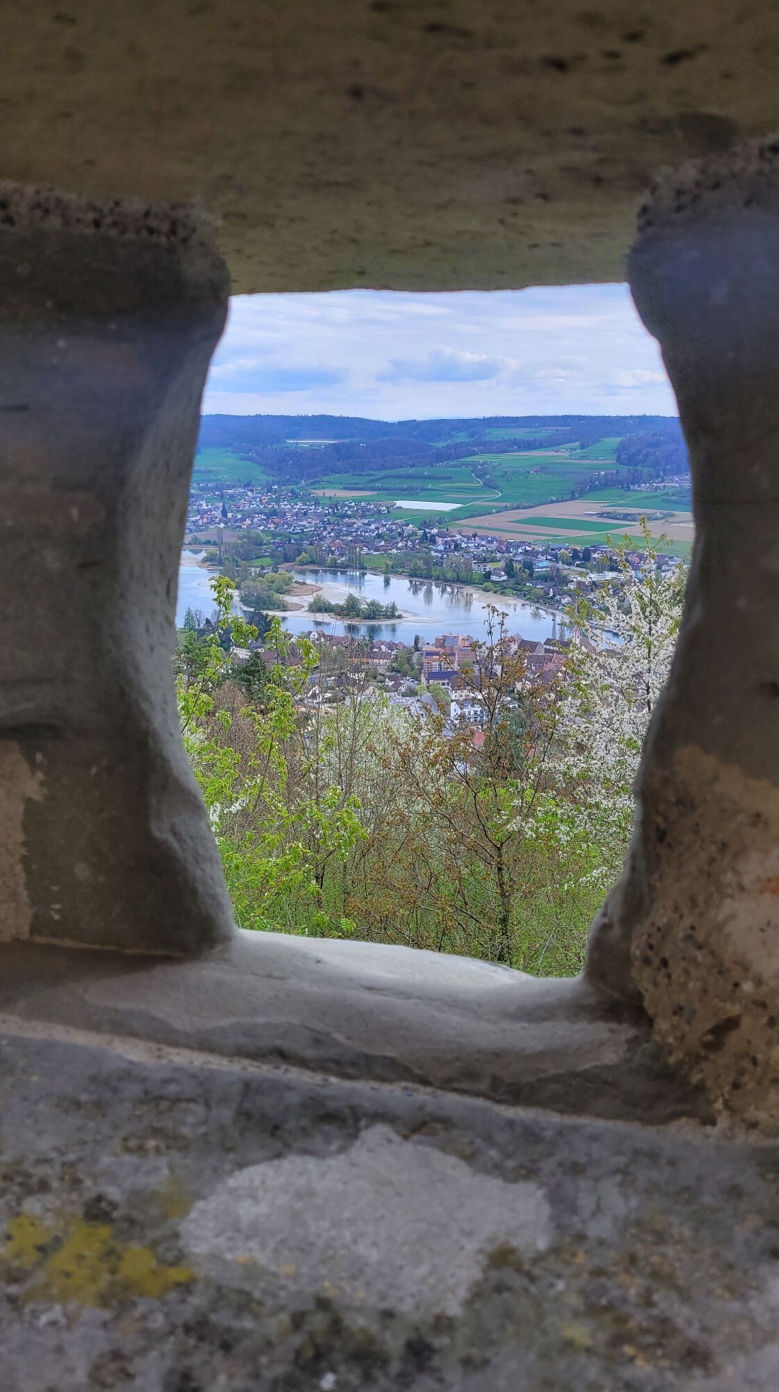
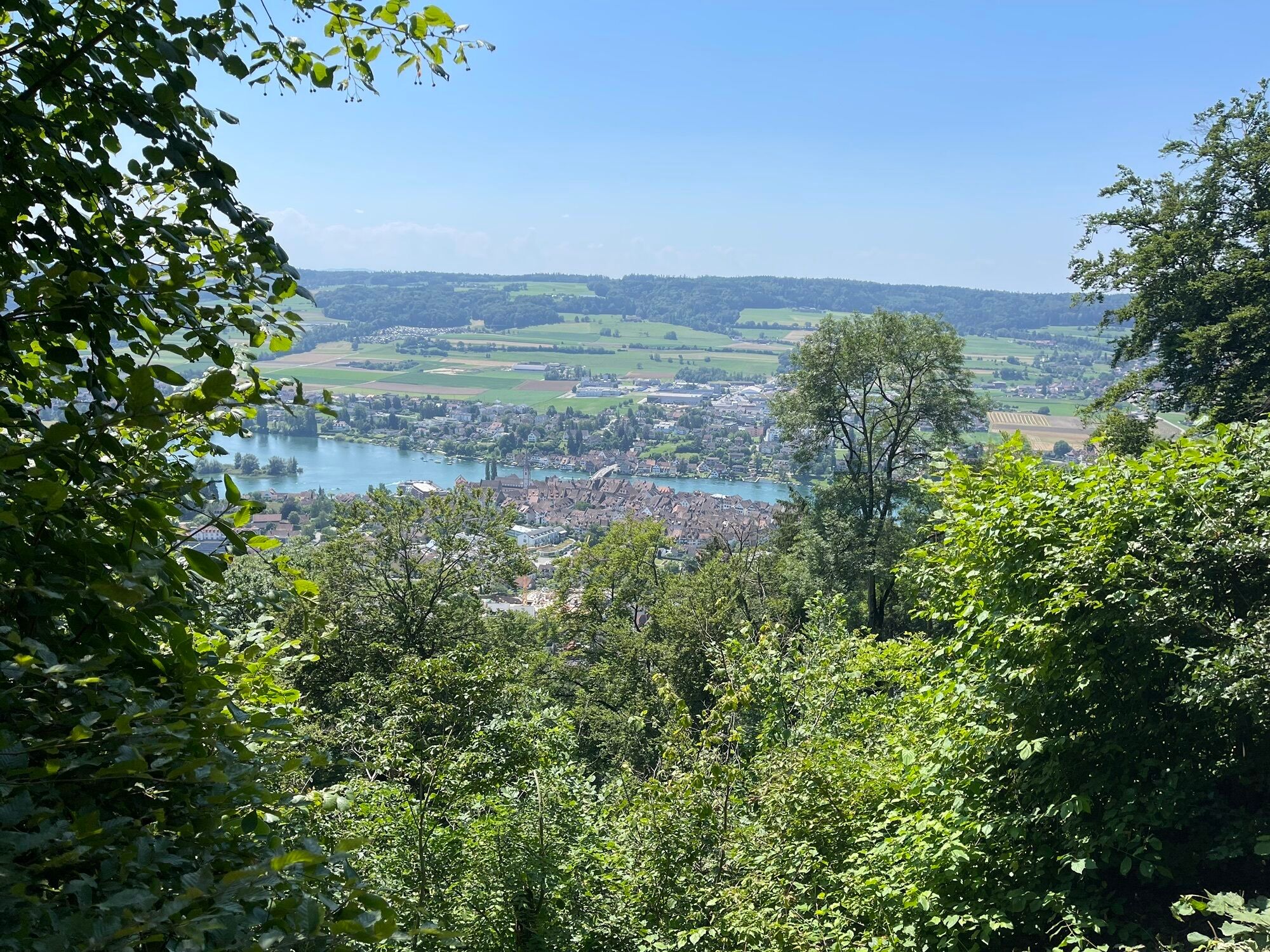
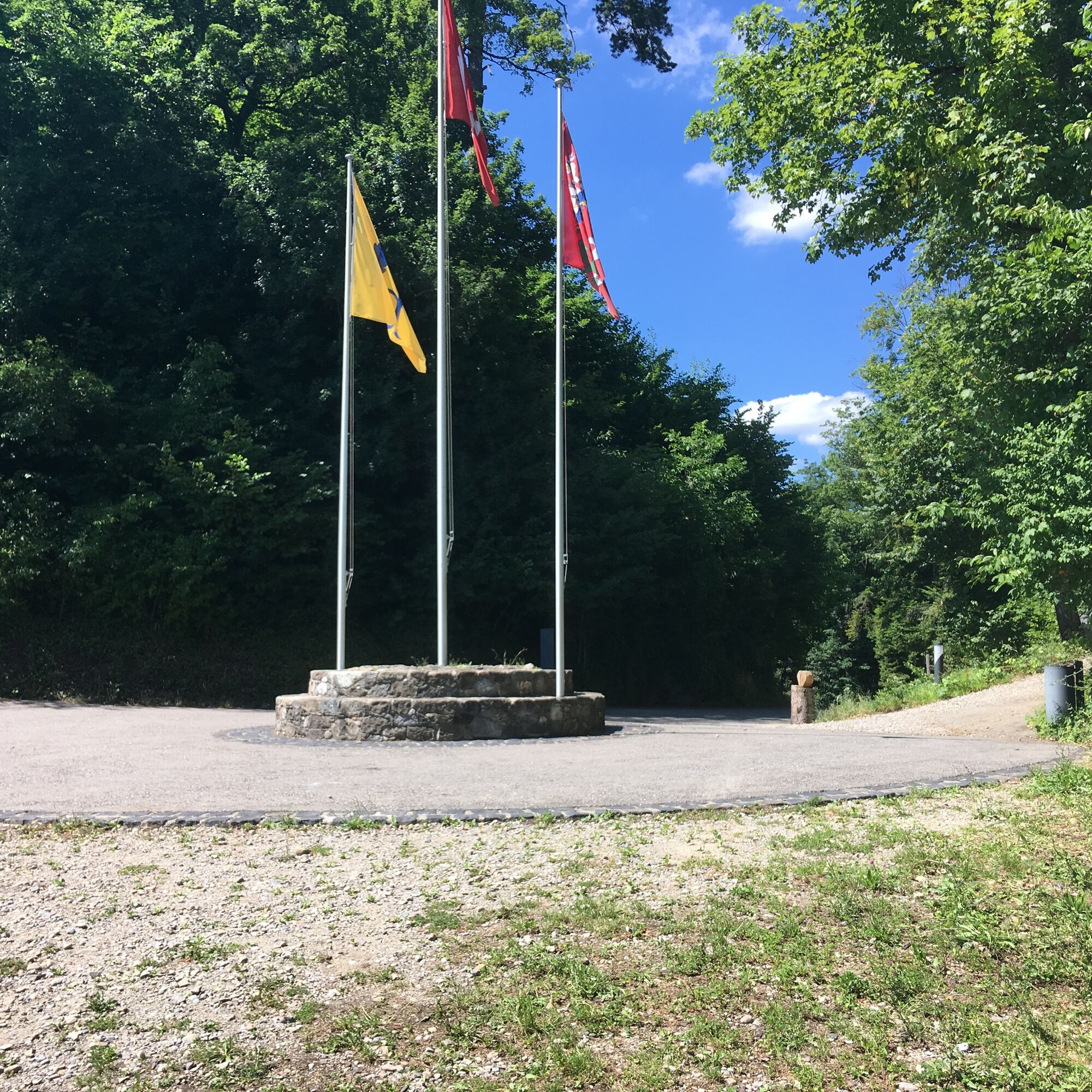
Through the vineyards, you follow the well-marked path to Hohenklingen. At the turnaround area at the top, you reach the castle or continue to the viewpoint and barbecue area.
From there, the marked Firstweg begins towards Bleike and Sonnenhof. From Sonnenhof, you reach Öhningen on an asphalt road, passing the Oberdorfstraße lined with beautiful half-timbered houses, past the town hall, back to the starting point.
The hiking trail to Hohenklingen and along the Firstweg requires good footwear
Höribus line to the Öhningen-Rathaus stop
A visit to the St. Georg Monastery in Stein am Rhein is highly recommended.
The Hohenklingen Castle, which also houses a restaurant, is also worth a visit.

Popularne wycieczki w okolicy
- 5,0
Hike on the panorama route of the Höri Peninsula
średniWędrówka 8,11 km - 4,0
Circular hike Gaienhofen-Middle Höri
średniWędrówka 12,6 km - 3,7
Firstweg Langenmos
średniWędrówka 5,76 km Stein am Rhein - Hohenklingen Castle - Stein am Rhein
średniWędrówka 7,68 kmSchweizMobil 2: Rhine Route stage 6 (Kreuzlingen - Schaffhausen)
średniJazda na rowerze 47,0 km- 5,0
"Hegauer Kegelspiel" Hohentwieler
średniWędrówka 7,21 km - 5,0
From Konstanz around the island of Reichenau (Lake Constance)
średniJazda na rowerze 28,7 km - 4,5
Circular hiking trail from Mammern on Lake Constance to the Neuburg ruins
światłoWędrówka 6,73 km - 3,0
"Hegauer Kegelspiel" Grenzgänger
światłoWędrówka 12,6 km Rundweg Schienerberg
ciężkiWędrówka 18,6 km
Wędrówki i tropienie


Nie przegap ofert i inspiracji na następne wakacje
Twój adres e-mail została dodana do listy mailingowej.





