


Bad Wildbad Bad Herrenalb route
Poziom trudności: 1
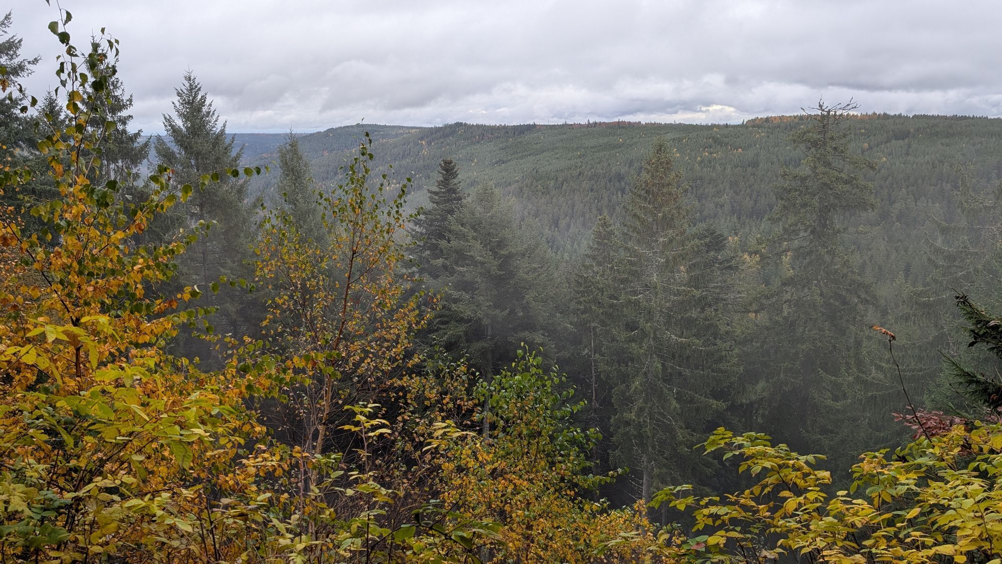
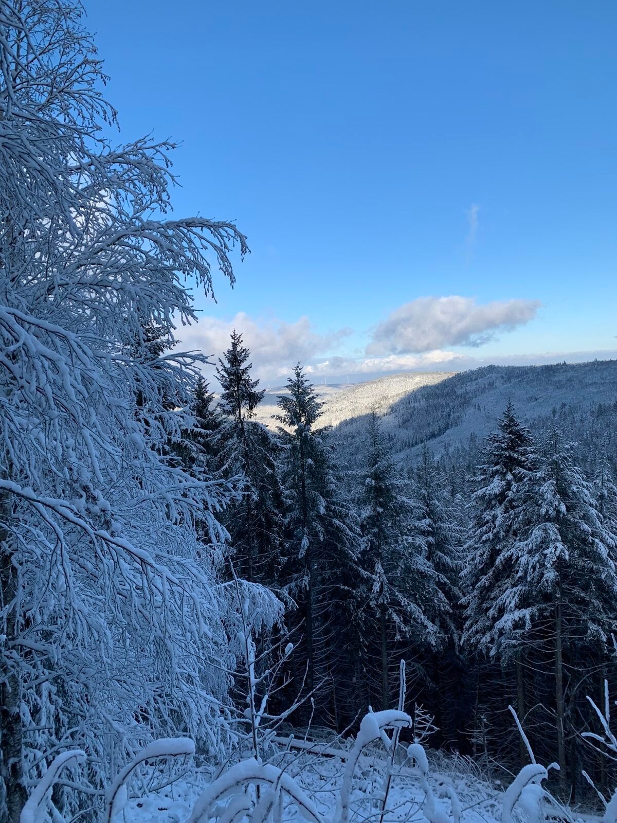
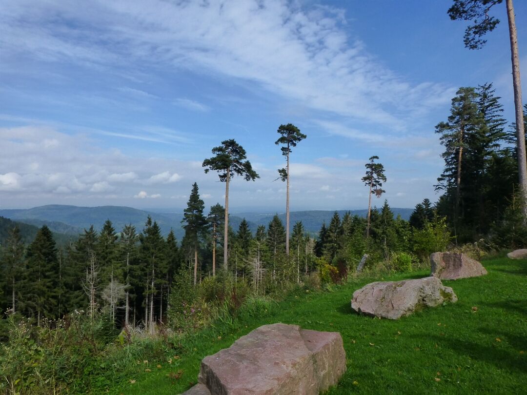
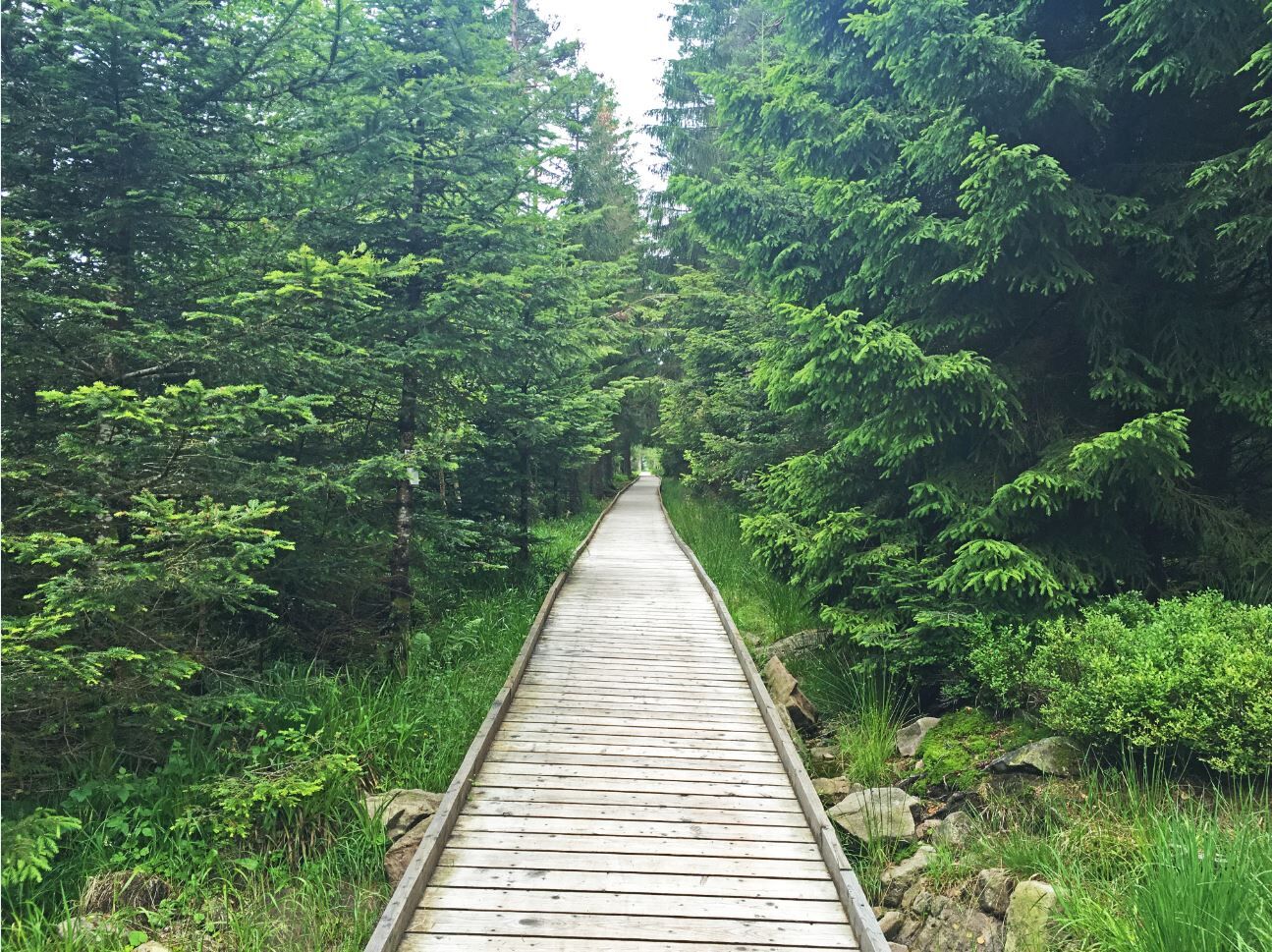
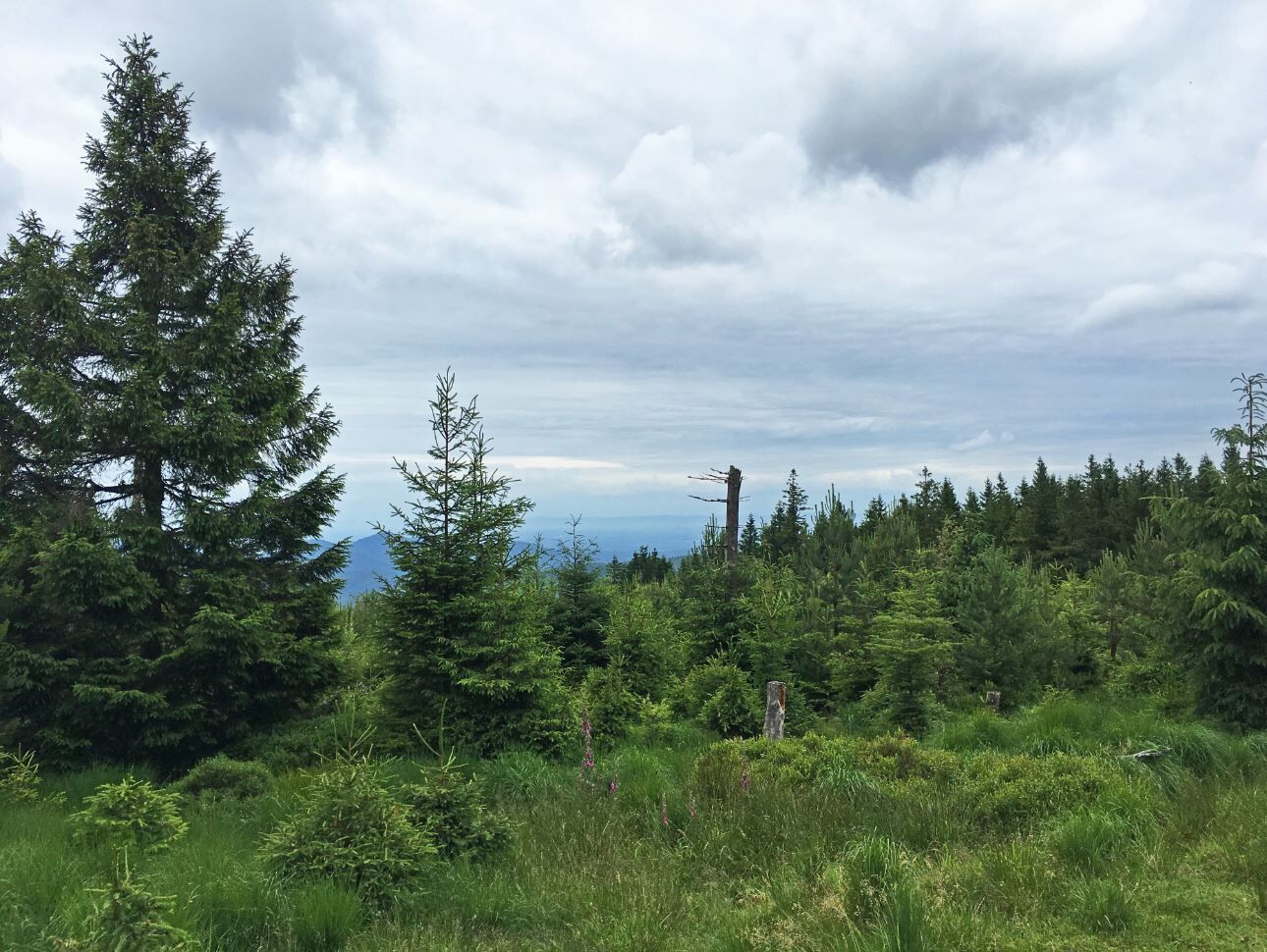
The route offers diverse impressions of an intact natural landscape in the rugged Northern Black Forest. On ridges up to 1000 m above sea level, impressive views open up over the Enz, Murg, and Rhine valleys....
The route offers diverse impressions of an intact natural landscape in the rugged Northern Black Forest. On ridges up to 1000 m above sea level, impressive views open up over the Enz, Murg, and Rhine valleys. The route leads from the summer mountain railway station via the Grünhütte to Kaltenbronn, from where it descends northwards through the Gaistal and Bad Herrenalb, then climbs steeply eastwards to Dobel, through the Eyach valley, Höfen, and Calmbach, returning to the starting point at Sommerberg in Bad Wildbad.
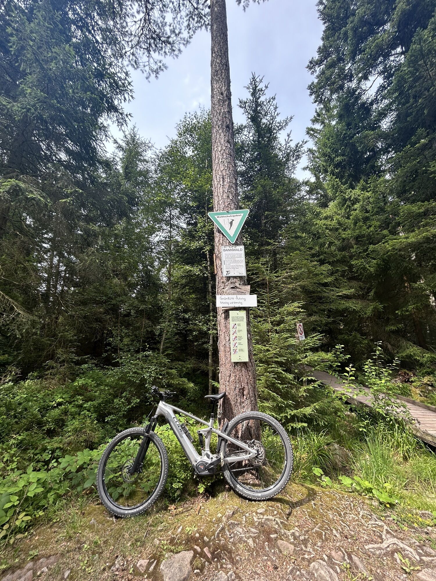
The route starts at the Bad Wildbad train station and follows the main trail of the signposted cycle paths (= Panorama Cycle Path, Nature Park Cycle Path Black Forest Central/North) in direction of Grünhütte and Kaltenbronn. First, it goes through the Wildbad town center and the extensive spa park before we ride towards Lautenhof by the sports fields. Above this, we keep right and cycle up to the Grünhütte.
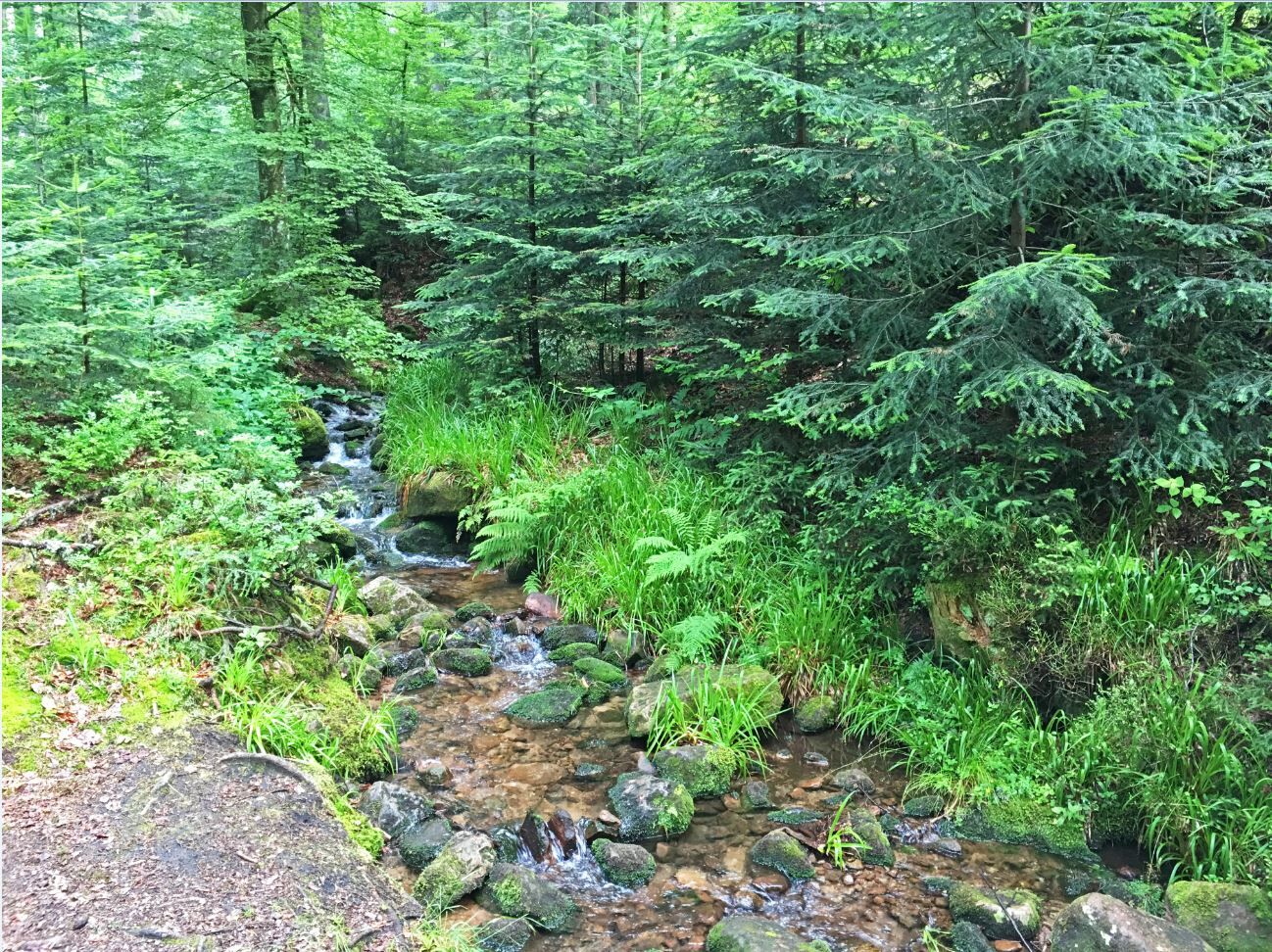
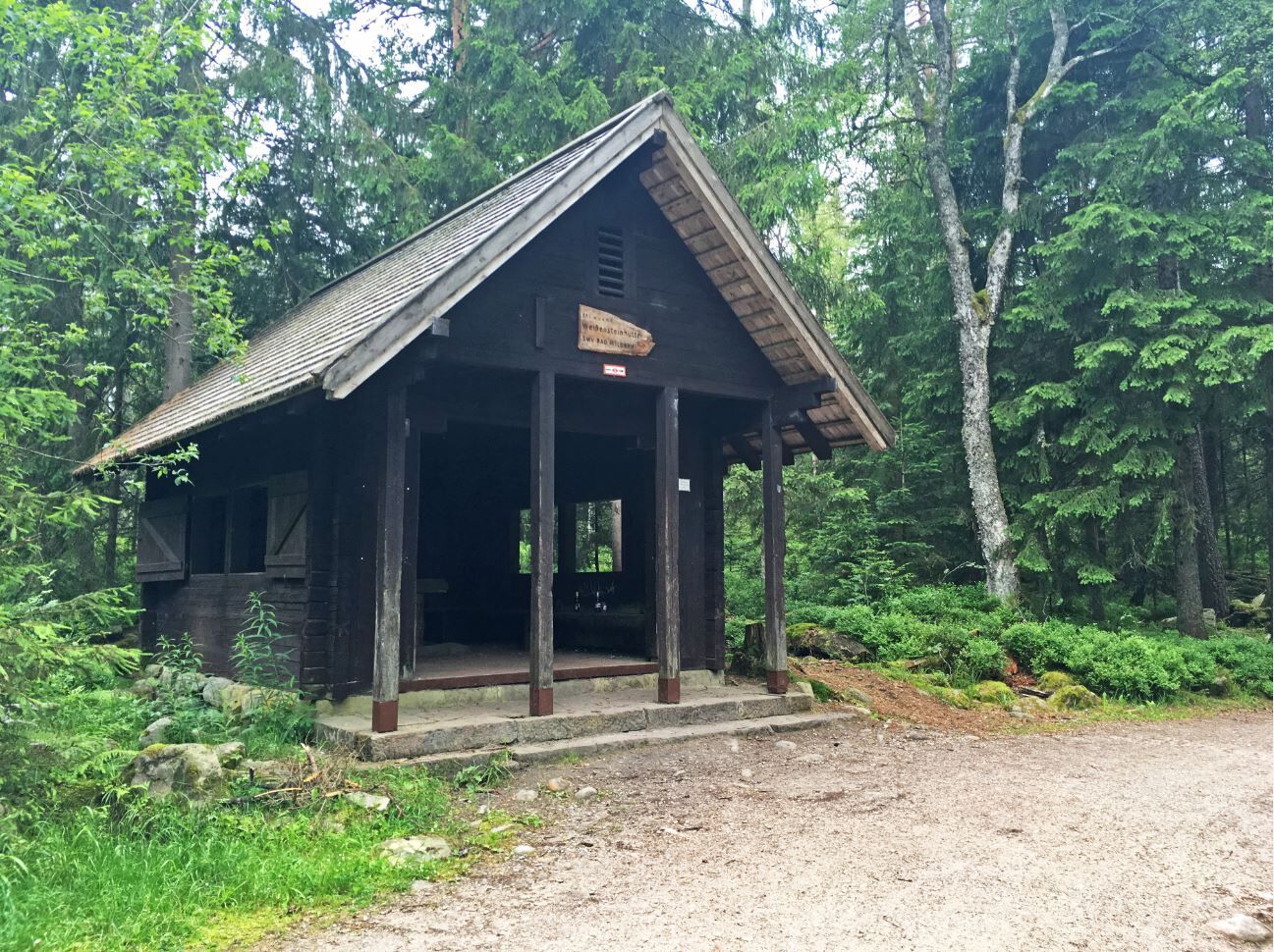
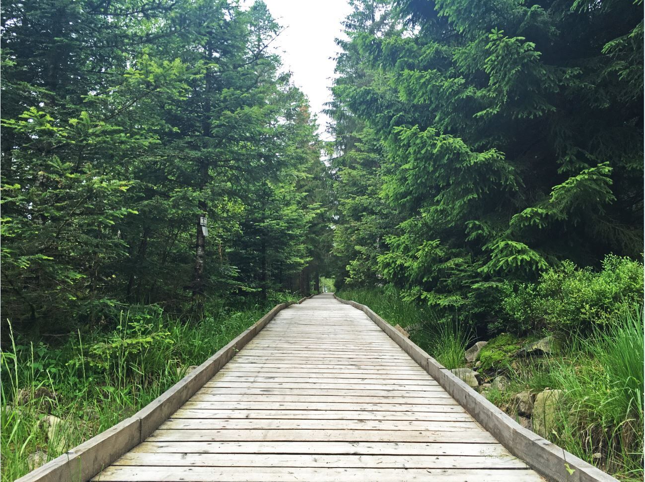
From the Grünhütte, it continues right in direction of Kaltenbronn and Freudenstadt. At the Grünhütte, we follow the right of the two paths. From the Weißensteinhütte, we bypass the Wildsee in a semicircle and reach the Kreuzlehhütte. From there, via the Langmartshütte, the Hahnenfalzhütte, and the ski lodge, we take a sharp left and continuously descend through the Gaistal to Bad Herrenalb.
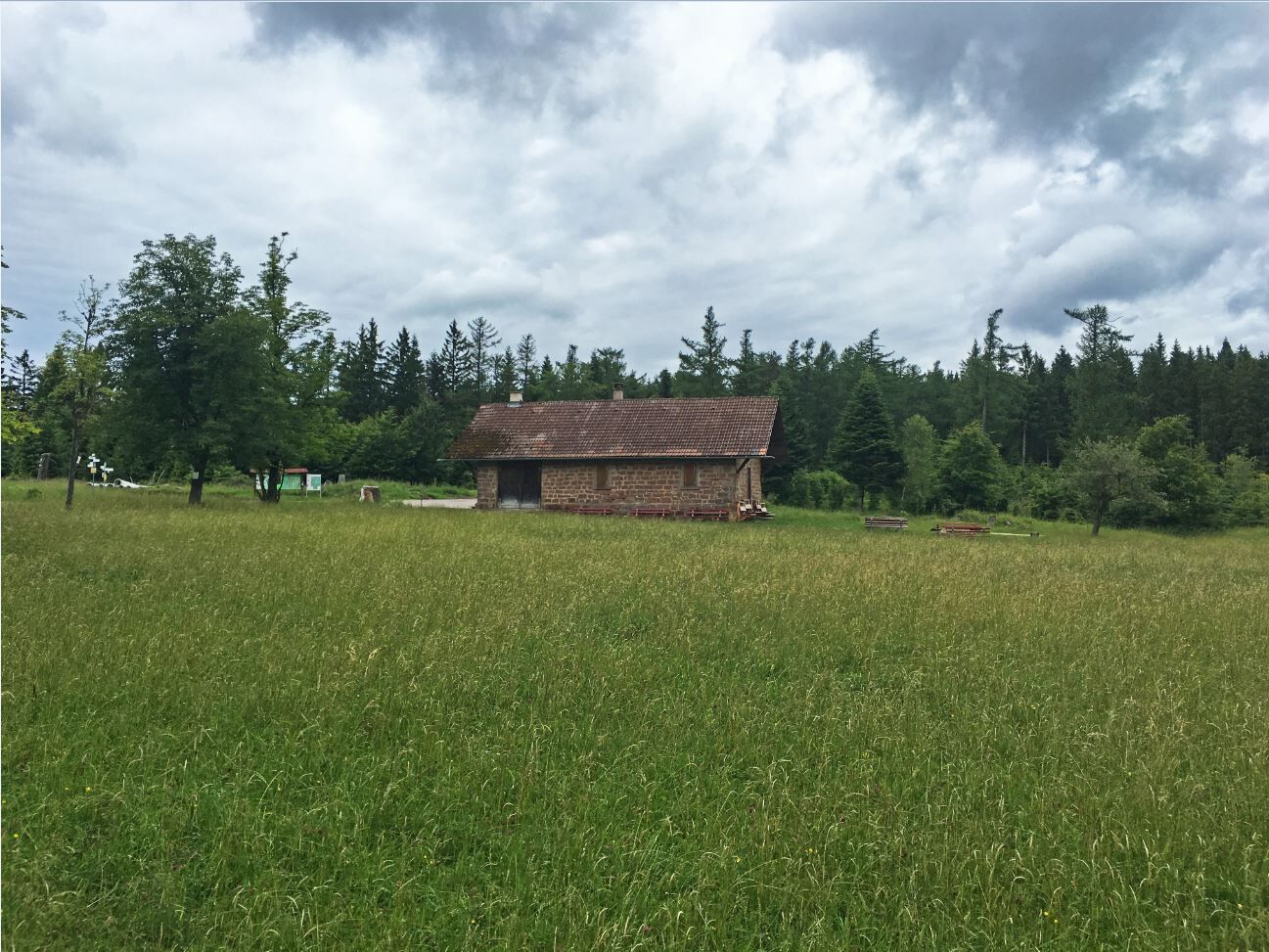
In the spa town, we turn at the roundabout towards Karlsruhe and after the spa park turn right into Bleichweg and Dobelbachweg, where we orient ourselves on the yellow-blue MTB signage. We continue uphill past the wildlife enclosure via Krummeichenweg and further uphill eventually reaching Neusatz. There, we follow the right path leading towards Neusatzer Pfütz. Here we continue on the MTB cycle path, at the next crossroads turn right, almost parallel to district road K 4331 in direction of Dobel. Passing the church, we cross the main road and then descend steadily via Bad Wildbad Street to the Eyachmühle. Here, we keep left towards the Eyach bridge, where we sharply turn right, passing the Zordel trout farm, continuing towards Höfen and Calmbach. We are now on the Enztal cycle path on the right side of the tracks, keep direction Calmbach towards Bad Wildbad and there reach the starting point of our e-bike route via Paulinenstraße, Rennbachstraße, the steeply ascending Blöcherweg, and Panorama Street.
Tak
Weather-appropriate clothing
Helmet
Drinks
Mobile phone with emergency numbers
The road traffic regulations apply!
Please carry a mobile phone with emergency numbers.
B 294 from Pforzheim to Calmbach, then on K 4367 to Bad Wildbad.
Tram S 6 from Pforzheim to Bad Wildbad, exit at Uhlandplatz station.
Large parking lot approx. 300 m before the summer mountain railway station.
1
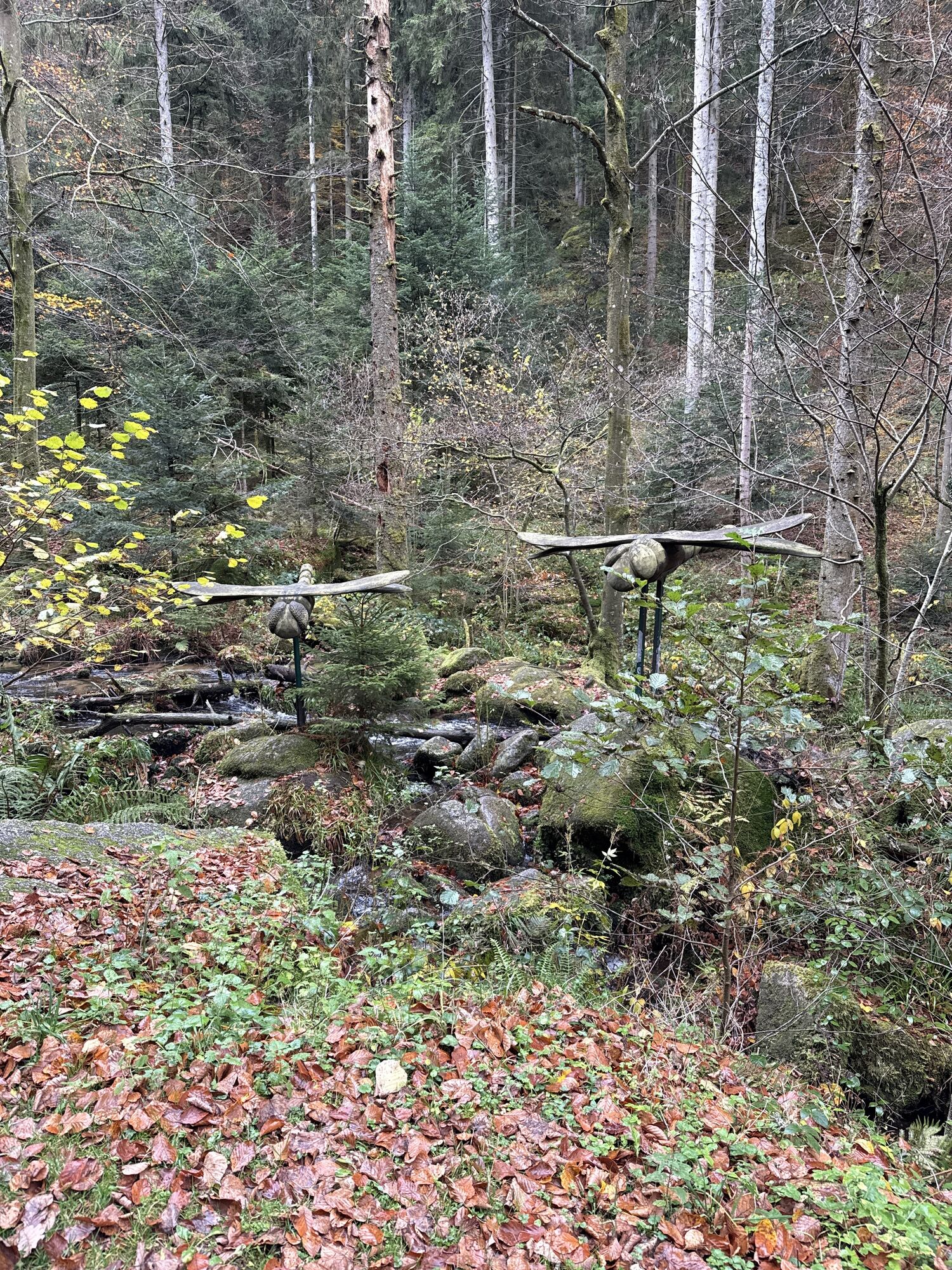
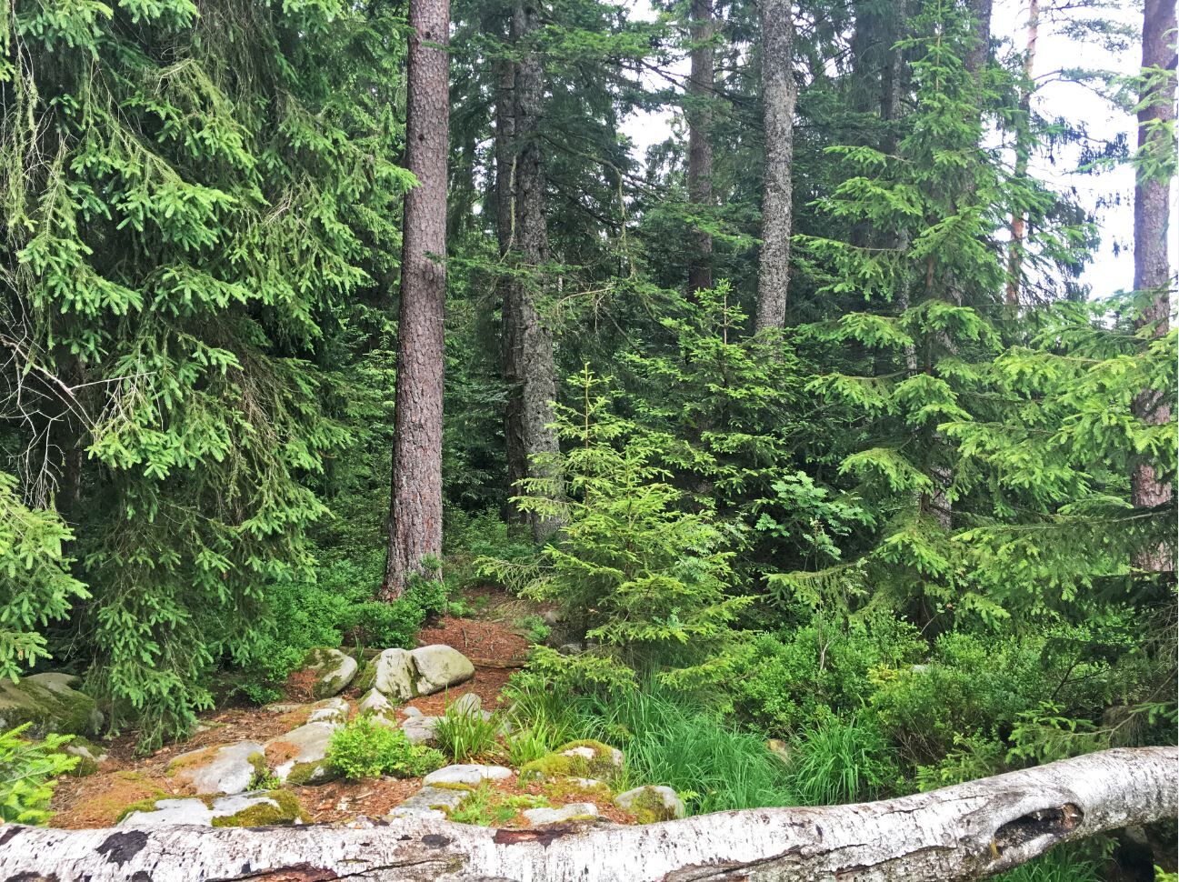
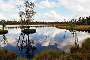
A detour to the raised bog and Wildsee is worthwhile in every season.
Kamery internetowe z trasy
-
Talstation Kaltenbronn
-
Schwarzwald Panorama
-
Schwarzwald Panorama
-
Schwarzwald Panorama
-
Schwarzwald Panorama
-
Schwarzwald Panorama
-
Schwarzwald Panorama
-
Schwarzwald Panorama
-
Schwarzwald Panorama
-
Bad Wildbad - Hotel Rothfuß
-
Dampfkraftwerk Karlsruhe
-
Bad Wildbad - Sommerberg
-
Bad Wildbad - Kurplatz
-
Enztalflieger
-
Livestream vom Camping Kleinenzhof
-
Skihang Kaltenbronn
Popularne wycieczki w okolicy
-
5,0
Circular route via spring nature trail and Wurstberg
światłoWędrówka 8,08 km -
4,7
Eyach round
średniWędrówka 7,84 km -
4,2
Kaltenbronn Circular Route No. 1 - Wildsee Moor Loop
światłoWędrówka 8,30 km -
3,0
Dobel High-Altitude Route
średniWędrówka 11,8 km -
4,3
Nature experience tour Kaltenbronn
średniWędrówka 14,2 km -
4,8
Weisenbacher Steig (Rechts der Murg)
średniWędrówka 17,6 km -
AugenBlick route Bad Herrenalb Schweizerkopf
średniWędrówka 15,5 km -
5,0
Rundwanderweg Sulzkar
średniWędrówka 12,4 km -
4,0
Bad Herrenalb town circuit
średniWędrówka 10,5 km -
4,5
Murgleiter - 1. Etappe - Gaggenau- Gernsbach
Wędrówka 23,6 km
Wędrówki i tropienie


Nie przegap ofert i inspiracji na następne wakacje
Twój adres e-mail została dodana do listy mailingowej.