



Nature and culture between Simmersfeld and Altensteig

Poziom trudności: 2
The cycling round starts in the center of Simmersfeld and first leads out of the town through the small industrial area. Quickly you reach the shady forest and are almost alone. It goes towards Paradieshütte...
The cycling round starts in the center of Simmersfeld and first leads out of the town through the small industrial area. Quickly you reach the shady forest and are almost alone. It goes towards Paradieshütte - which fully lives up to its name. Here you are completely alone, in the middle of nature, hearing only the rustling of the trees and the singing of the birds. We ride to the Obere Woog, a small lake hidden deep in the forest. This is also a gem for nature lovers. Through the forest, the route climbs up to Fünbronn before descending again and running along the Hochdorfer sawmill briefly on the federal road. We reach the Nagold Valley and follow the river course to Altensteig. Through the historic half-timbered town with the Old Castle, we ride to Berneck with its historic castle ruins and magnificent shield wall. In the Köllbach valley, typical Black Forest nature awaits us again. Via Aichhalden and Oberweiler, we return to Simmersfeld.
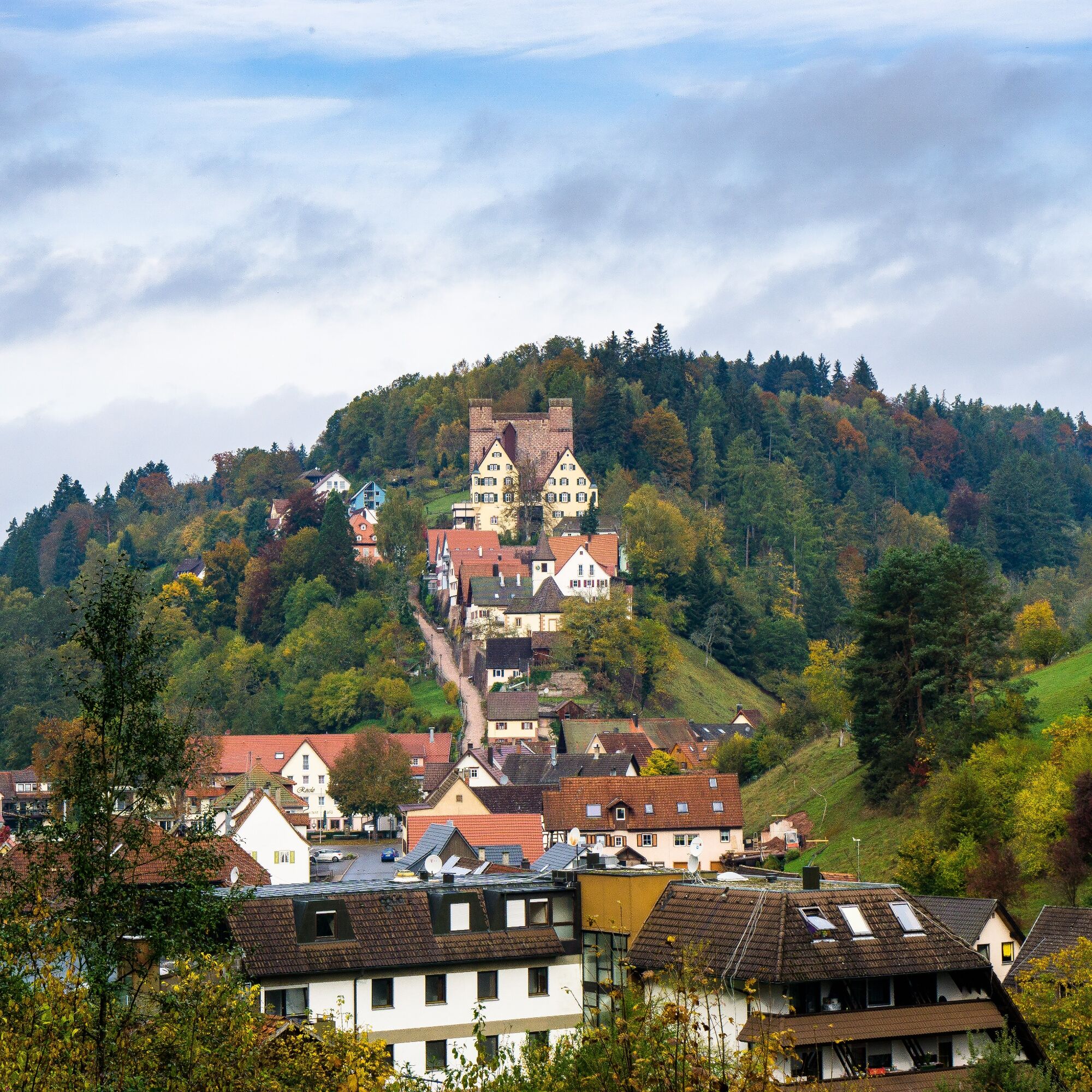
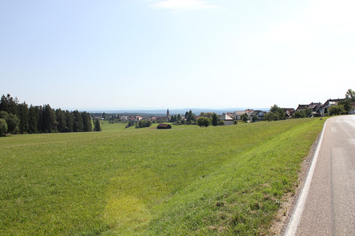
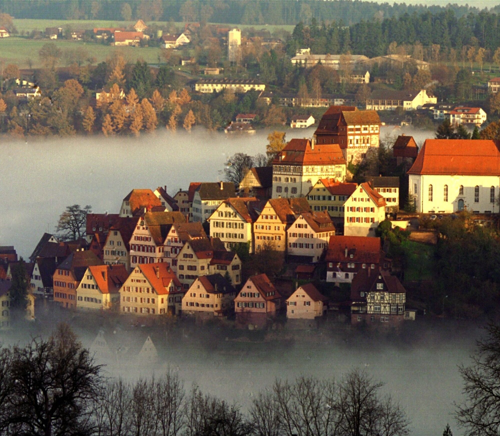
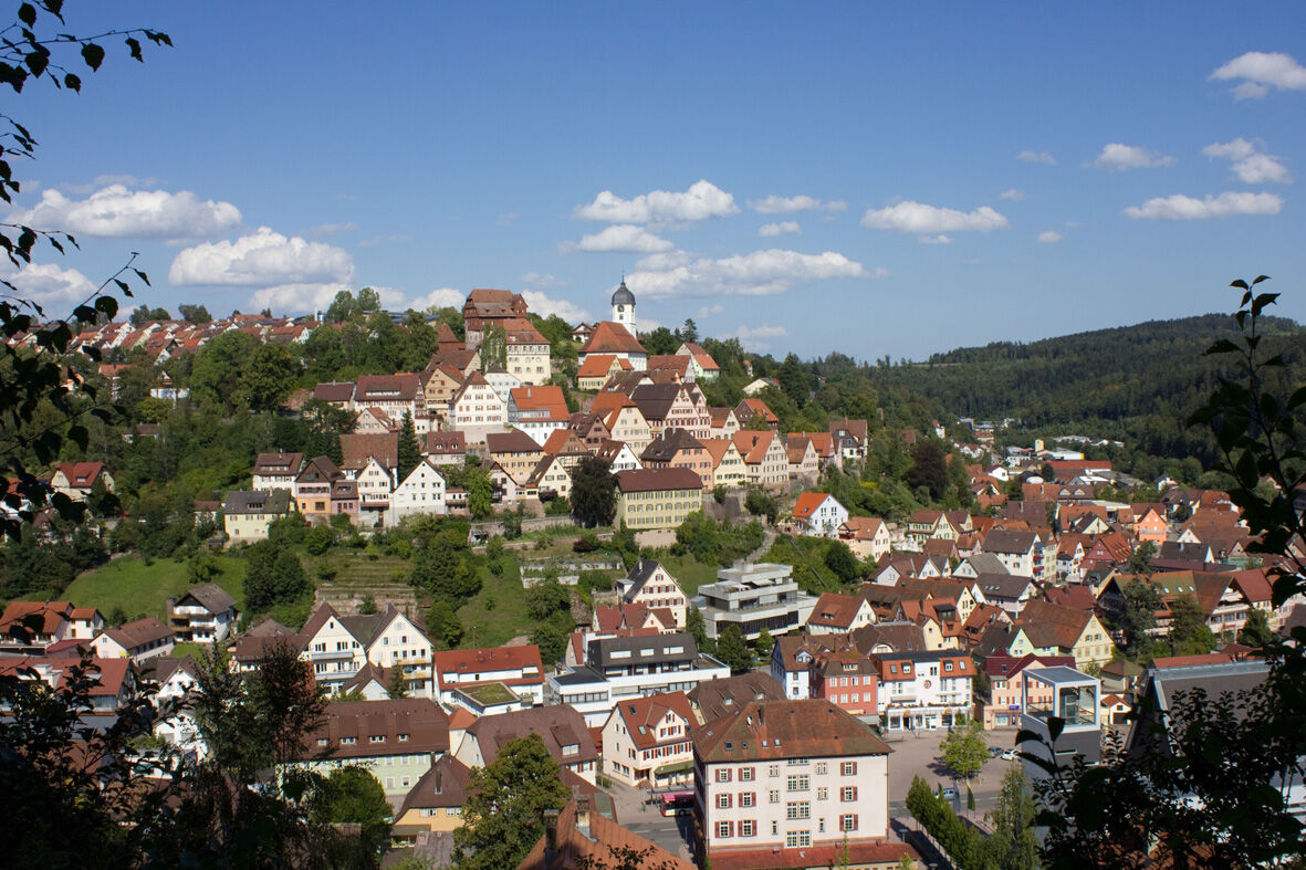
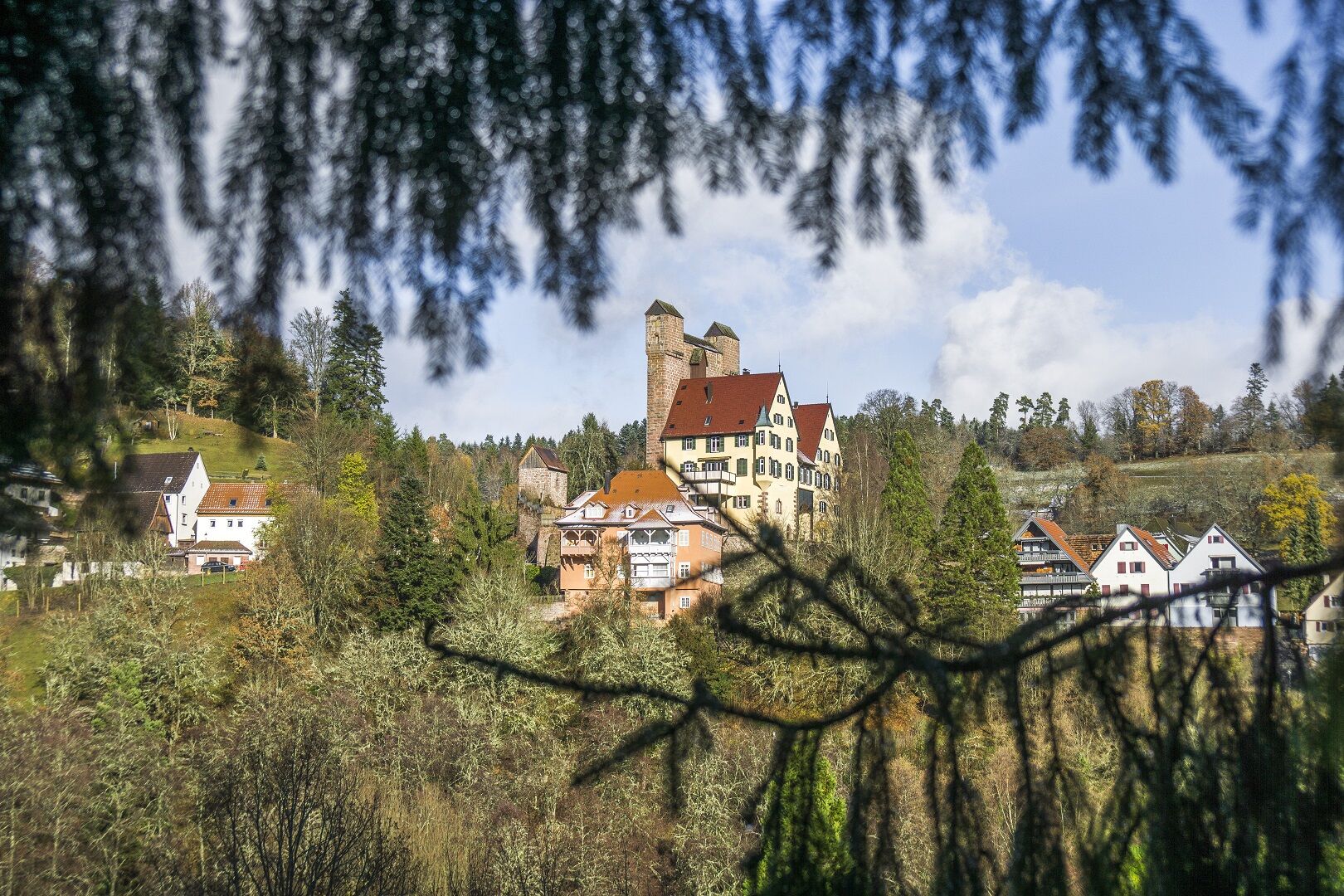
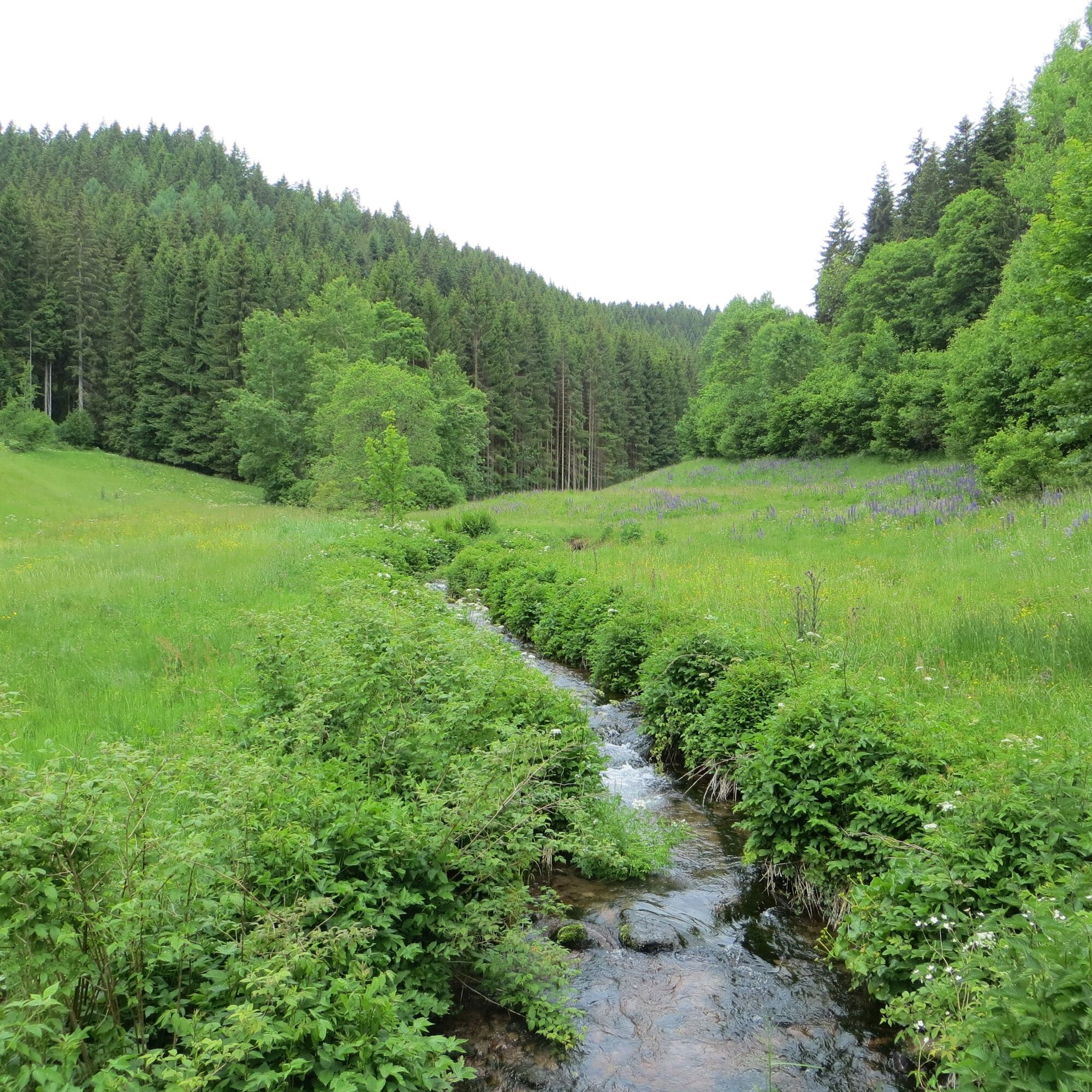

The cycling round runs on the signposted cycle paths of the Calw district. Along the way we follow the green-white cycle signage.
Bicycle helmet, patch kit, maps, provisions
Drive via the L362 from Freudenstadt/Baiersbronn and Nagold to Altensteig and then to Simmersfeld.
The line 420 runs hourly from Altensteig to Simmersfeld.
On weekends, the line 7781 also runs from Altensteig to Simmersfeld (Enzklösterle and up to Kaltenbronn).
Attention! Bicycle transport not guaranteed!
Parking spaces are available in the center of Simmersfeld.
2
In Altensteig-Berneck we recommend the Hotel Restaurant and Café Rössle as a stopover. Hungry cyclists are warmly welcomed here!
Popularne wycieczki w okolicy
-
4,9
Der Teinacher (Premiumweg & Genießerpfad)
średniWędrówka 12,0 km -
4,7
premium hiking trail Enzquellenpfad
średniWędrówka 19,9 km -
2,9
Genießerpfad zum Panoramastüble
Wędrówka 10,6 km -
5,0
AugenBlick route Bad Teinach-Zavelstein Zettelberg
ciężkiWędrówka 15,5 km -
4,8
Heidelbeerweg Enzklösterle
średniTrasa tematyczna 12,7 km -
5,0
Hike through the idyllic Kälbertal
średniWędrówka 8,01 km -
5,0
GeoTour Wildberg through the picturesque Lützenschlucht
ciężkiWędrówka 2,80 km -
5,0
Kaltenbach Loop
światłoWędrówka 5,29 km -
5,0
Altensteig Nature Adventure Trail
średniWędrówka 11,6 km -
5,0
From Altburg over scenic heights to Zavelstein
średniWędrówka 10,6 km
Wędrówki i tropienie


Nie przegap ofert i inspiracji na następne wakacje
Twój adres e-mail została dodana do listy mailingowej.


