







To the Lochmühl chapel and Eulenmüllers Käppelli

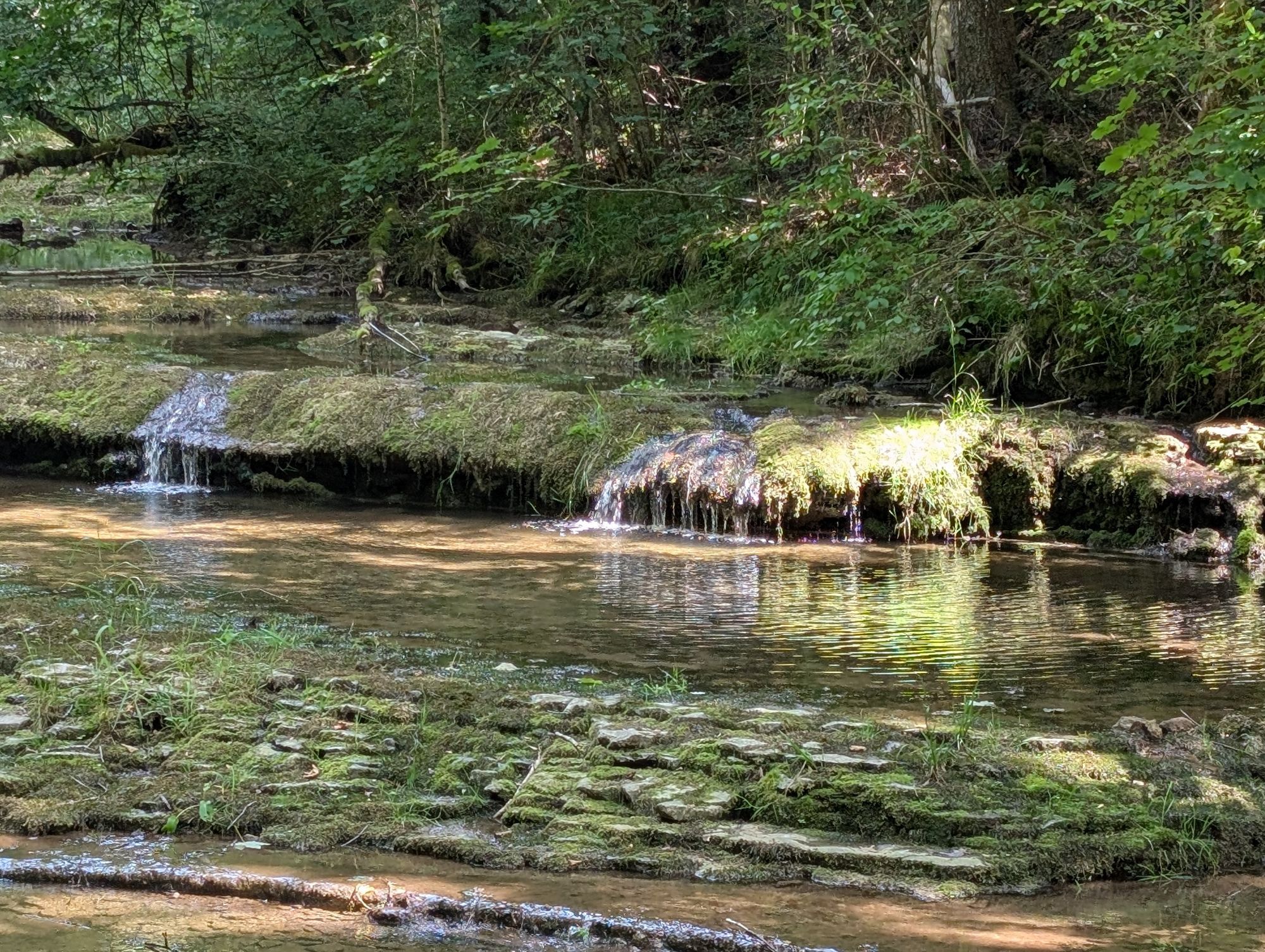
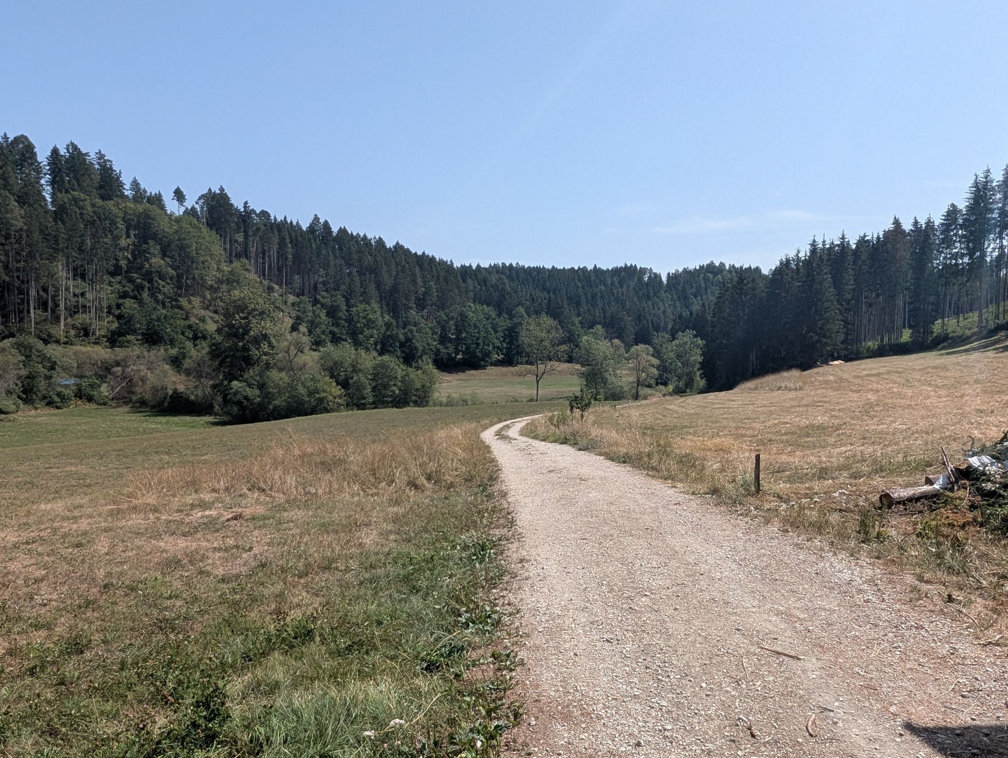
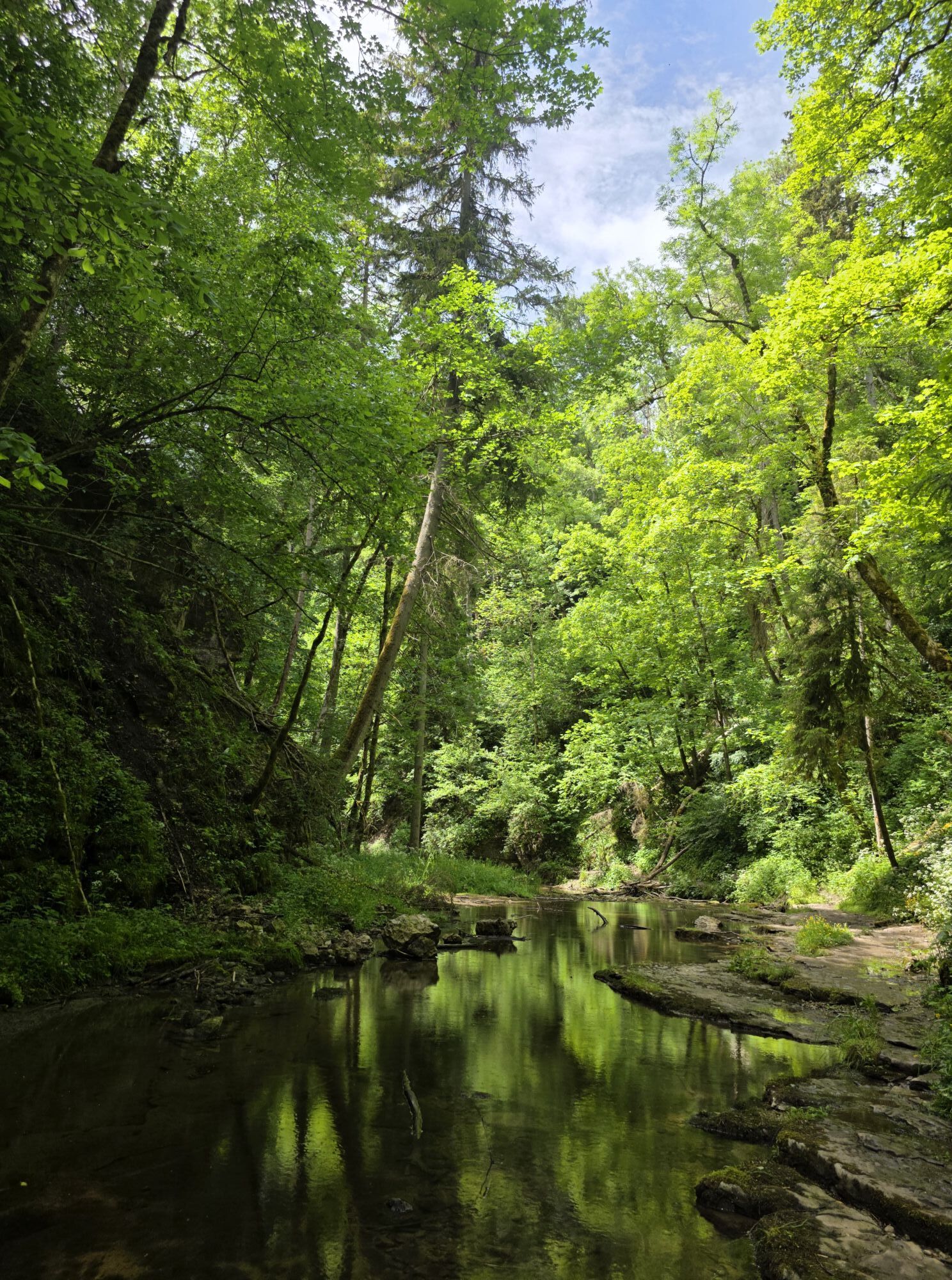
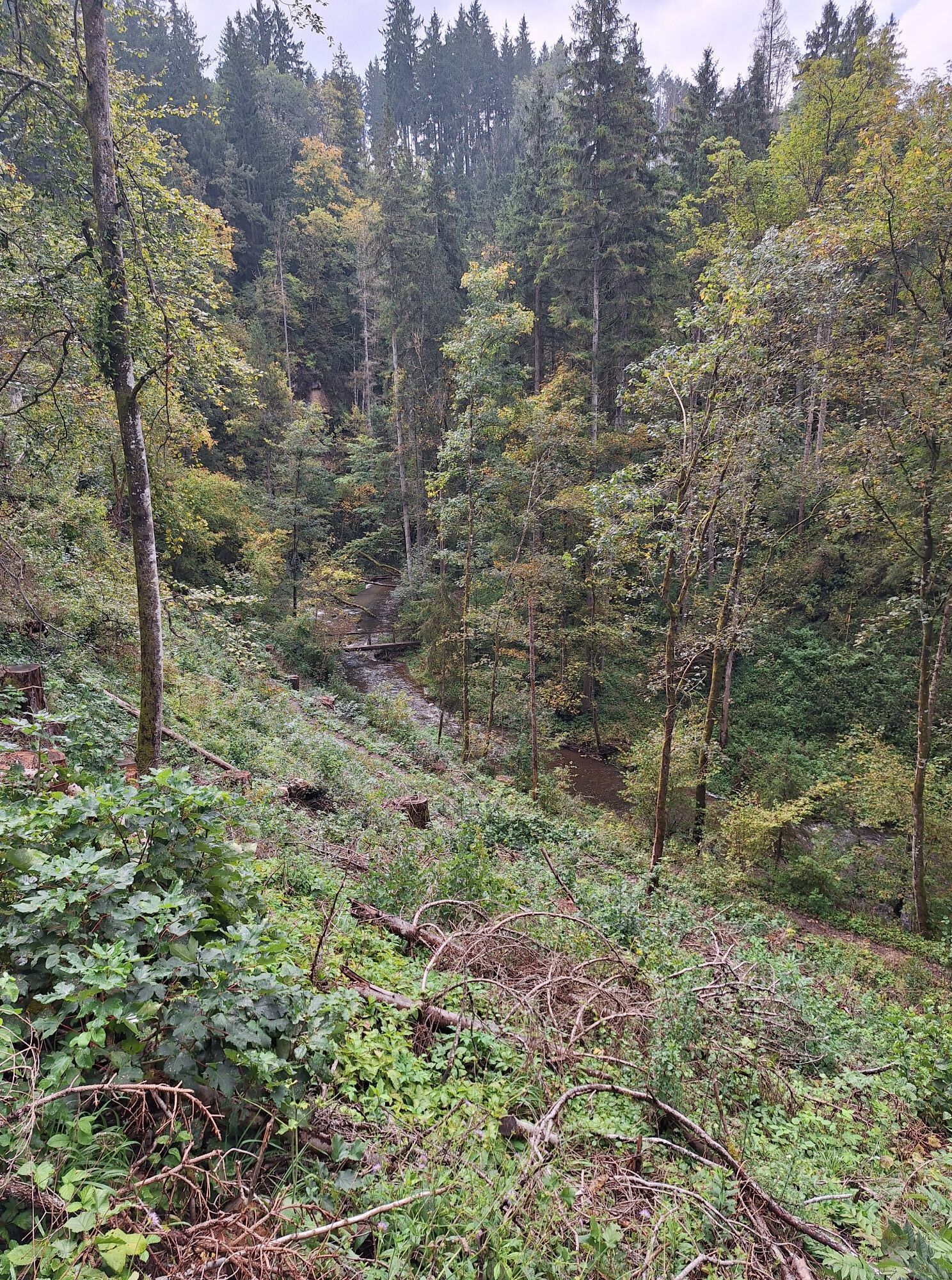
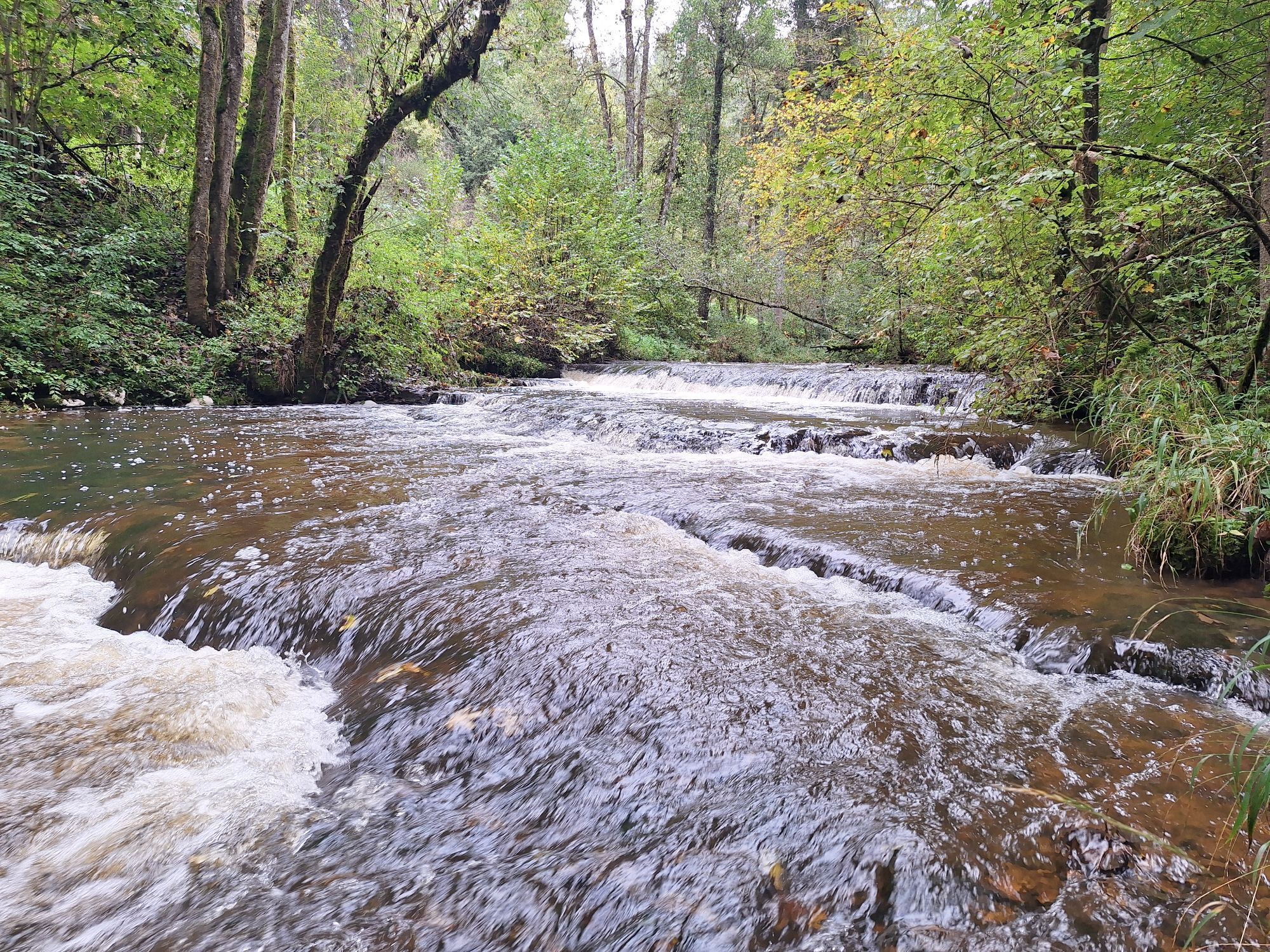
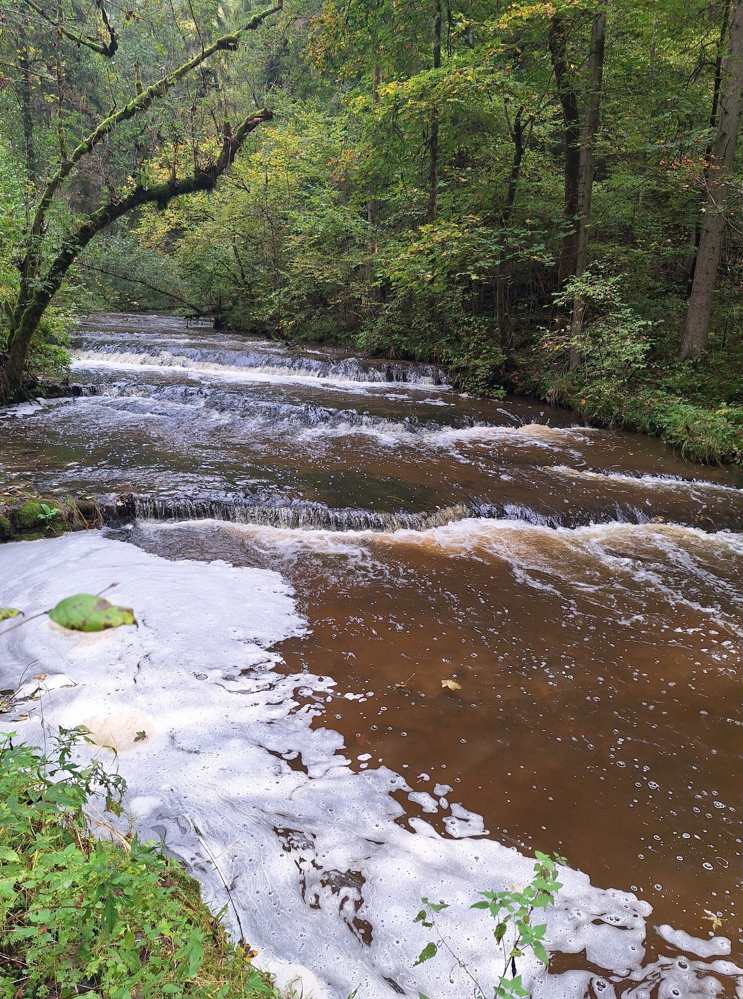
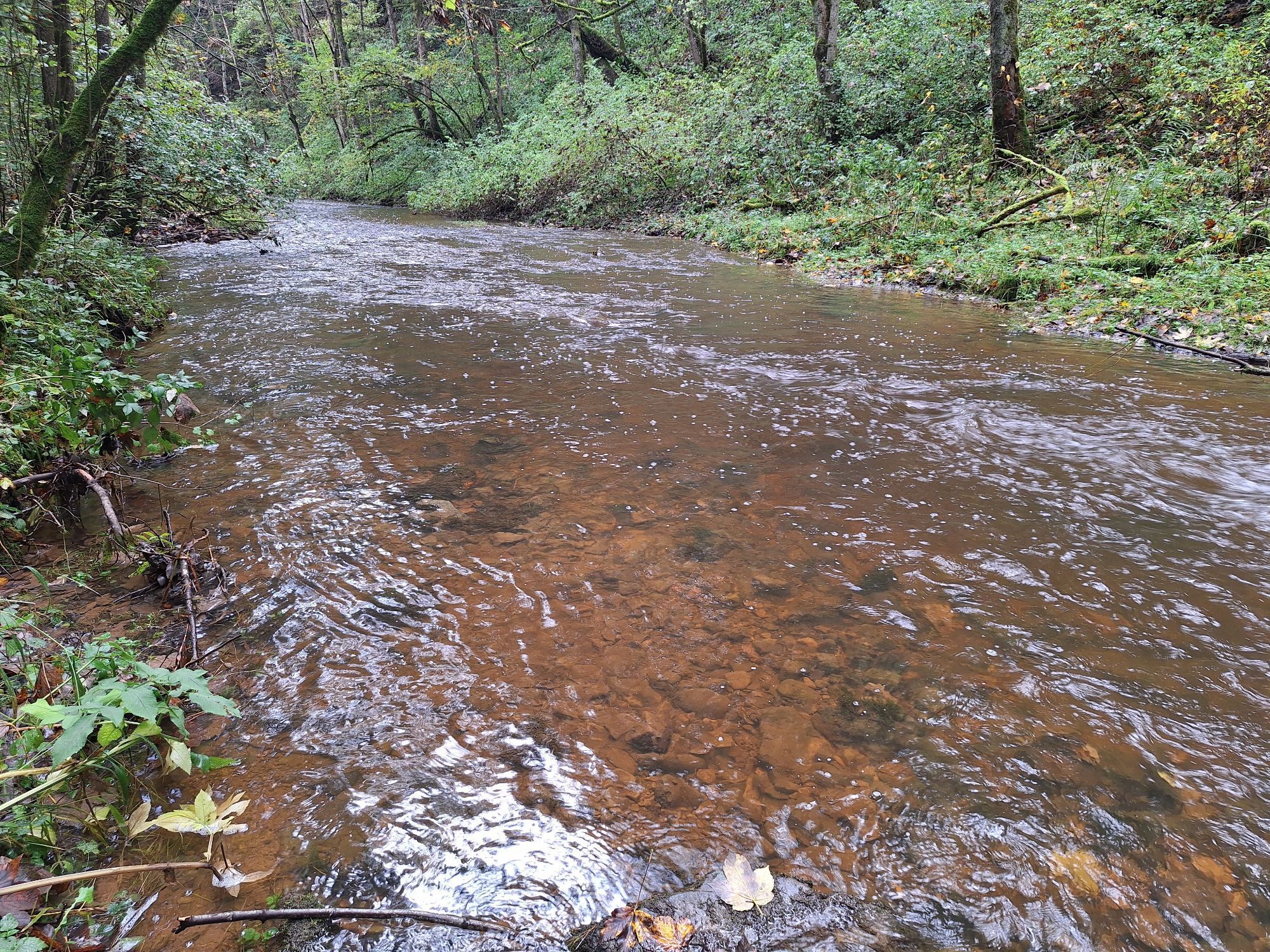
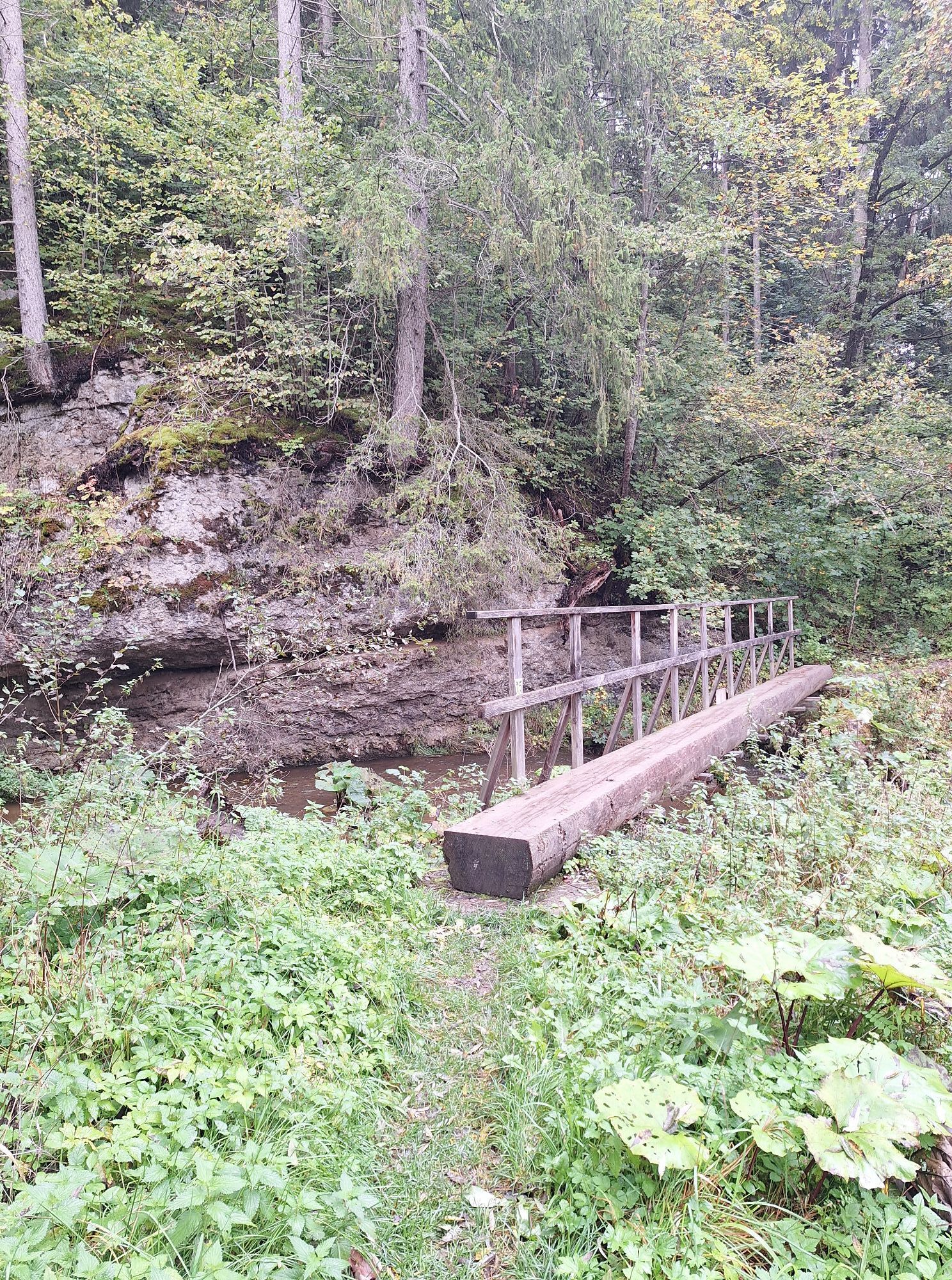
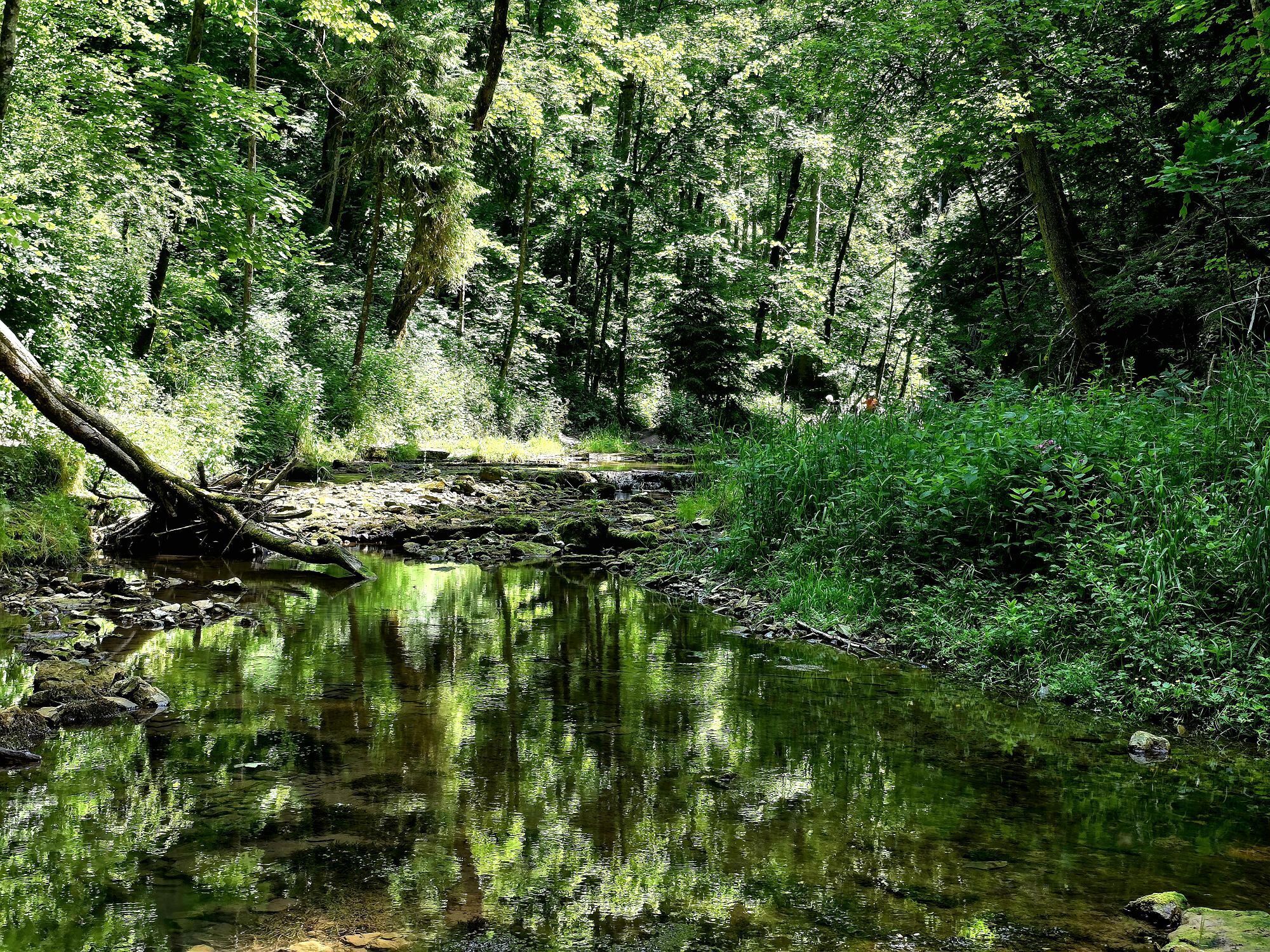

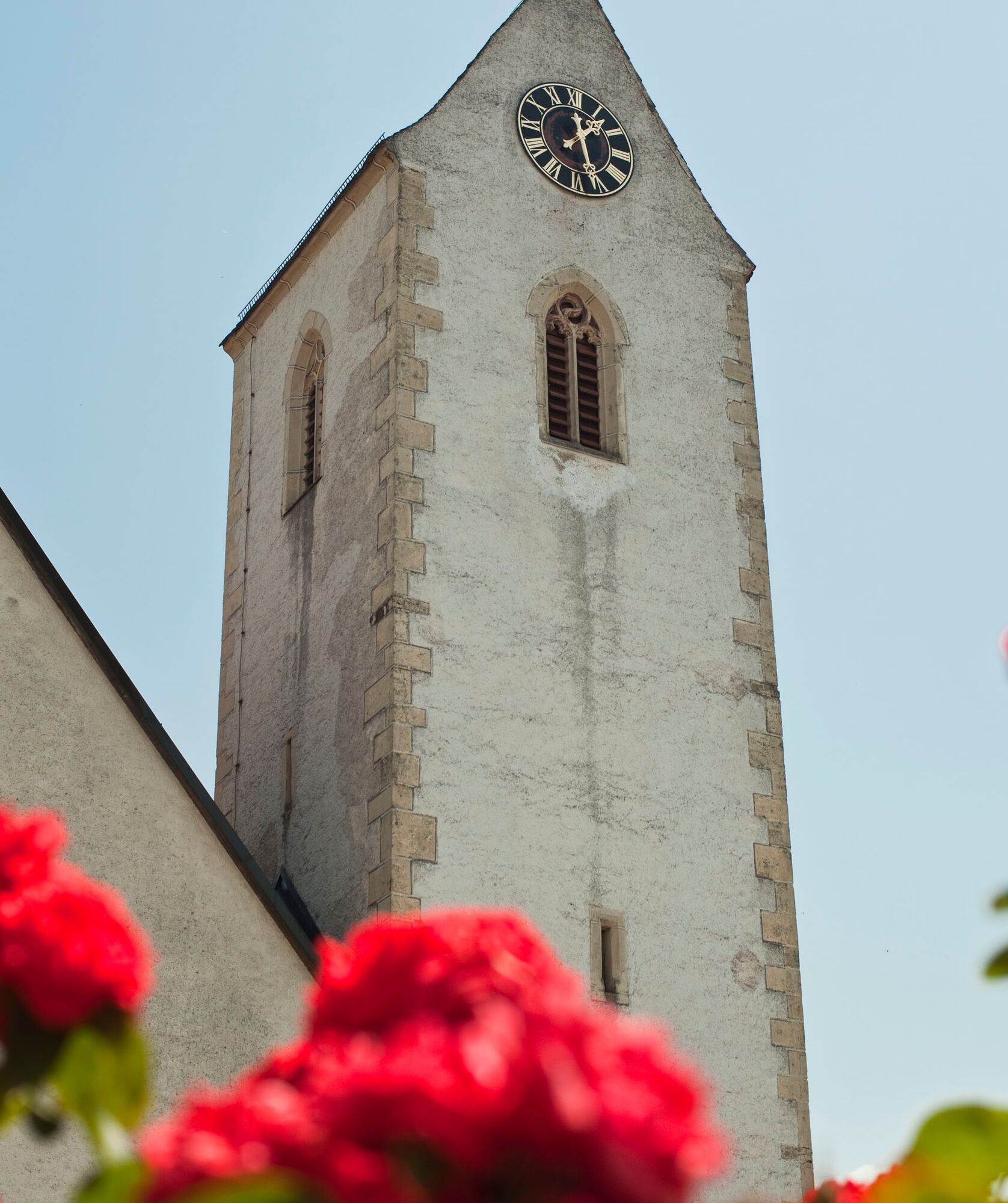
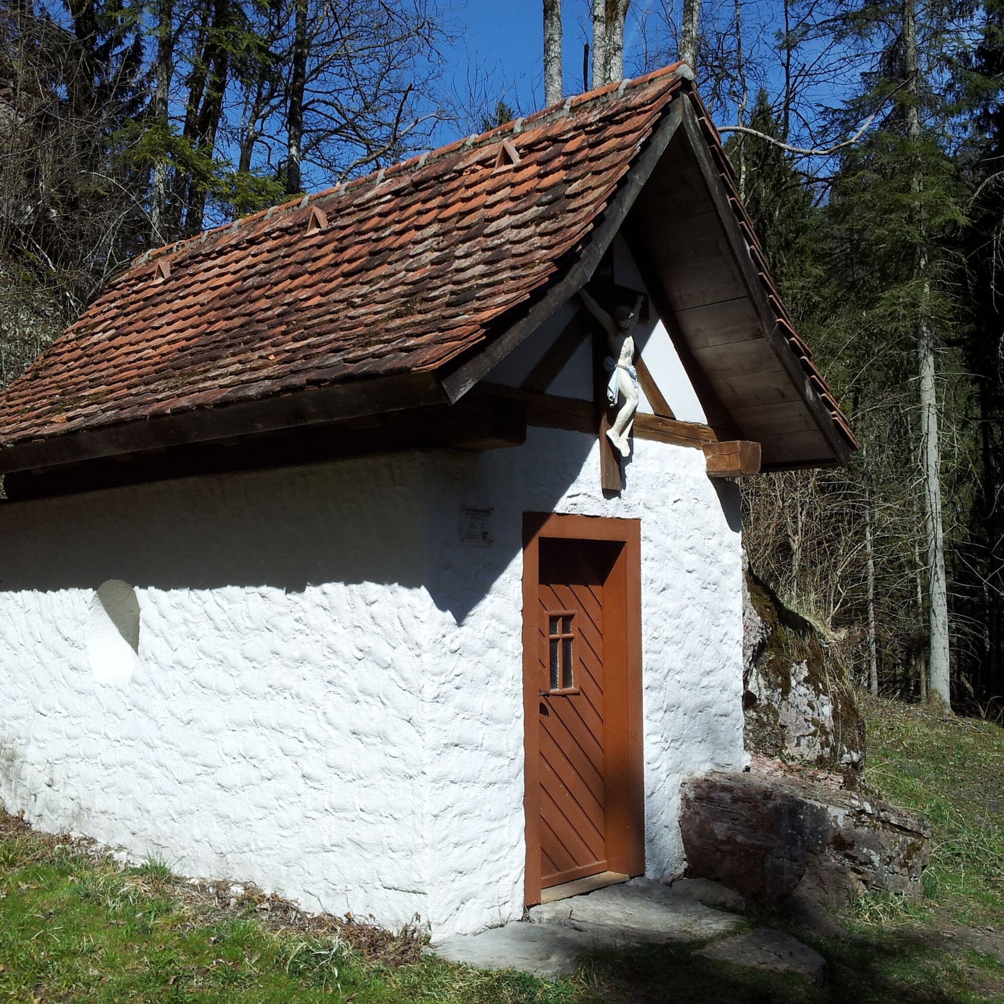
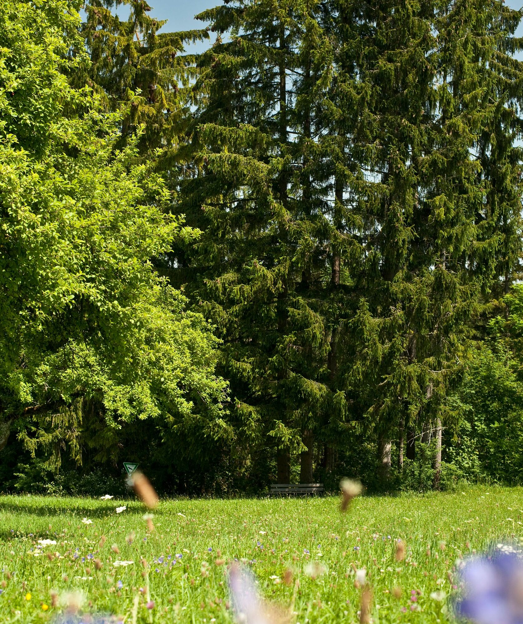
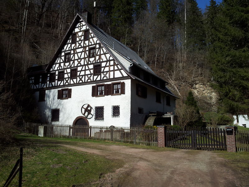
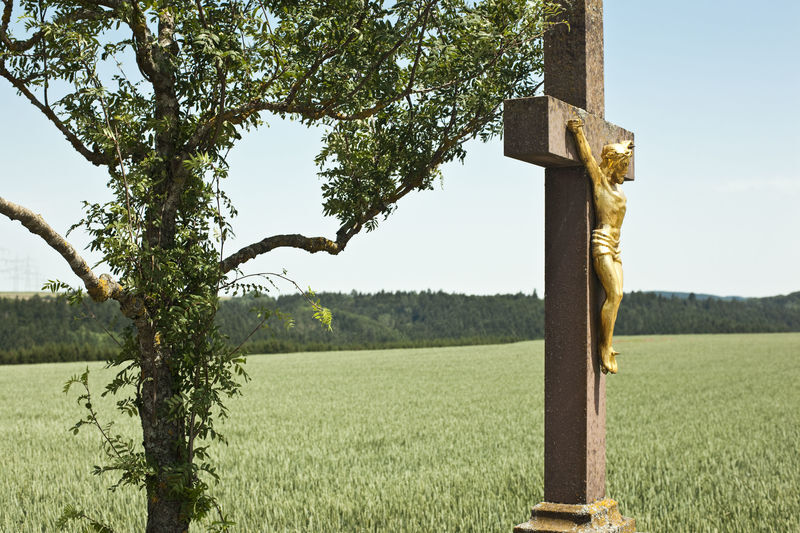
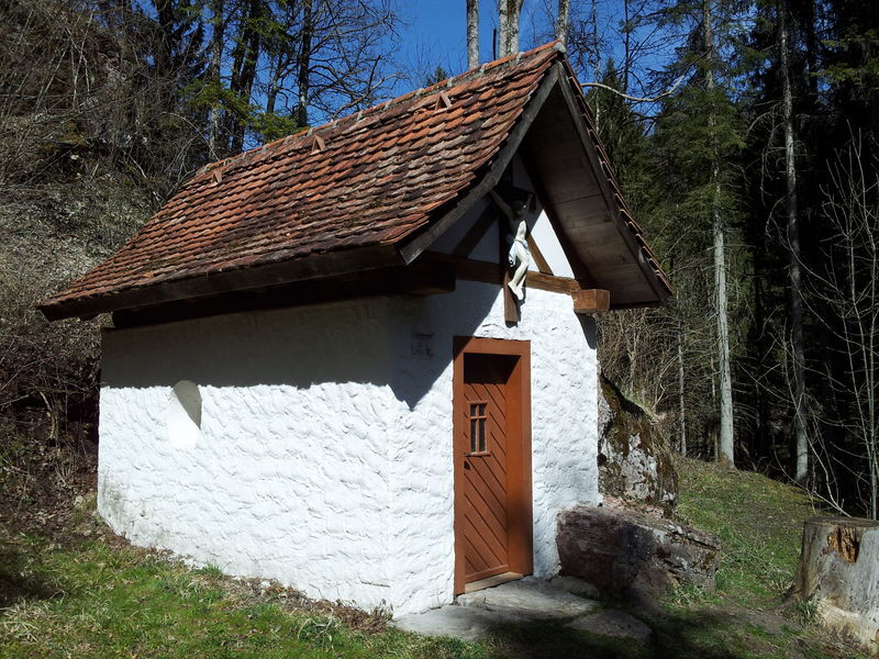
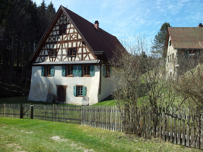
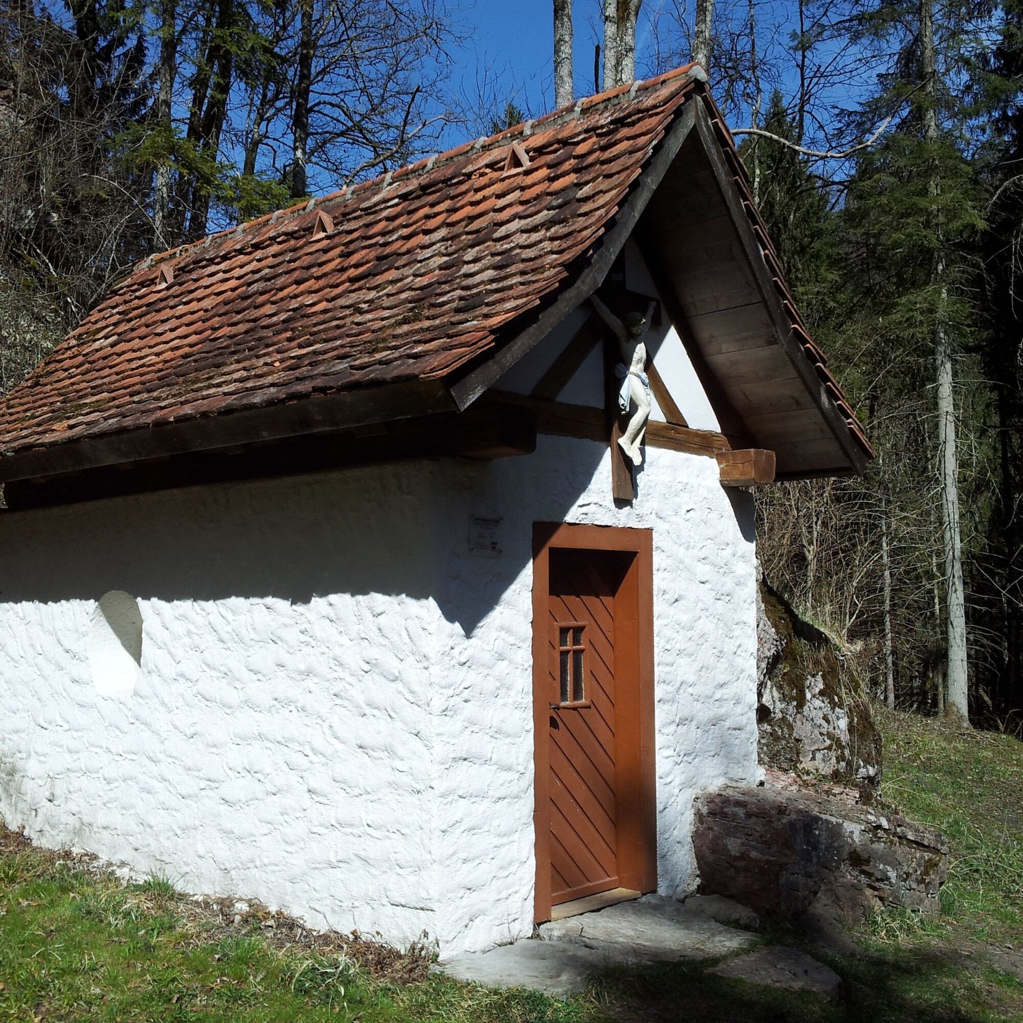

From the starting point at St. Georg church, we walk down Gauchachstrasse into the valley. After approx. 200 m, we keep left and stay on Grünburgstrasse. At the Grünburg hiking parking lot, we have the opportunity to obtain information from the hiking map. Standing in front of the map, look to the right and the sign on the tree will tell you the way down into the Gauchach Gorge. From here, we now descend towards Gauchach, passing the Stehleskreuz. After approx. 500 m, we interrupt the descent and follow the sign to the chapel on the left. After a short walk, the beautifully restored Lochmühle Chapel appears behind a left-hand bend. At the information board, we can find out about the mill in “Teufels Loch” and the fate of the chapel. After visiting the Lochmühle Chapel, built in 1804, we are now drawn further down to the water. From there, we follow the romantic course of the Gauchach stream uphill on the left and, after crossing the bridge, keep right along the stream and follow the yellow diamond.
On the way to Eulenmüller's Käppelli, we pass other places of interest. These include the Guggenmühle, which is privately owned. To make sure we don't stray from the right path, we simply follow the wooden signs with the mill sign. After passing the bridge at the Guggenmühle, we keep sharp right and follow the signs for Eulenmühle (yellow diamond). On the way there, we reach the hiking parking lot at the old post office. Here we can relax after about 2 hours of walking and take advantage of the good food on offer at the well-known Posthaus.
From there, we walk a short distance along Freiburger Strasse and cross under the Gauchachtal bridge. Shortly after the road begins to climb towards Döggingen, we take the flatter path to the left and continue to follow the signs for Eulenmühle. Just 30 minutes have passed since the rest stop at the post office and we are already rewarded by the sight of the Eulenmühle. Whether we manage to complete the route in the given time depends on how long this beautifully situated mill keeps us from continuing our hike. We leave the mill, take a few last photos and after a few minutes we are standing in front of a small chapel surrounded by two trees. After leaving the Eulenmüllers Käppelli, the beautiful hike along the chapel trail draws to a close. Let's follow the path back to Unadingen to the church via Kirchhöfle - Sängerhütte - Weißkreuzstrasse - Tregenstrasse - Mauchachstrasse - Gauchachstrasse.
At the end of the day's hike, the local restaurants Hirschen and Ochsen within sight of the church offer a refreshment stop.
Tak
Tak
Tak
Wir empfehlen gutes Schuhwerk!
We recommend good footwear!
Parkplatz bei der Kirche
After approx. 2/3 of the route, you have a wonderful opportunity to stop for refreshments at the Altes Posthaus with its beer garden.
Alternatively, you can also move the start and finish of the chapel trail to the hiking parking lot at the Alte Posthaus. Of course, the chapel trail can also be used as part of a longer gorge tour.

Popularne wycieczki w okolicy
-
4,7
Premium Hiking Trail - 3-Schluchten Tour
średniTrasa tematyczna 9,62 km -
4,7
Wutachschlucht Rundwanderung im Süd Schwarzwald
średniWędrówka 9,76 km -
4,7
Premium Hiking Trail - Rötenbach Gorge
średniTrasa tematyczna 10,1 km -
5,0
Wutachschlucht+Lotenbachklamm
światłoWędrówka 10,0 km -
4,4
Wutach, Deutschland
średniWędrówka 14,6 km -
5,0
Genießerpfad Gauchachschlucht
średniWędrówka 5,63 km -
4,0
Die Wutachschlucht – der Grand Canyon des Schwarzwaldes
średniWędrówka 11,3 km -
4,0
Von Lenzkirch durch die Haslachschlucht zum Rechenfelsen und zur Haslachmündung
średniWędrówka 11,6 km -
Charming mountain landscape and forests around Lenzkirch
średniMountainbike 39,5 km -
5,0
Querweg Freiburg - Bodensee: Schattenmühle – Blumberg
średniWędrówka 21,4 km
Wędrówki i tropienie


Nie przegap ofert i inspiracji na następne wakacje
Twój adres e-mail została dodana do listy mailingowej.





