






Stierhütten-Trail
Easy walking route with breathtaking views and through dense forests.
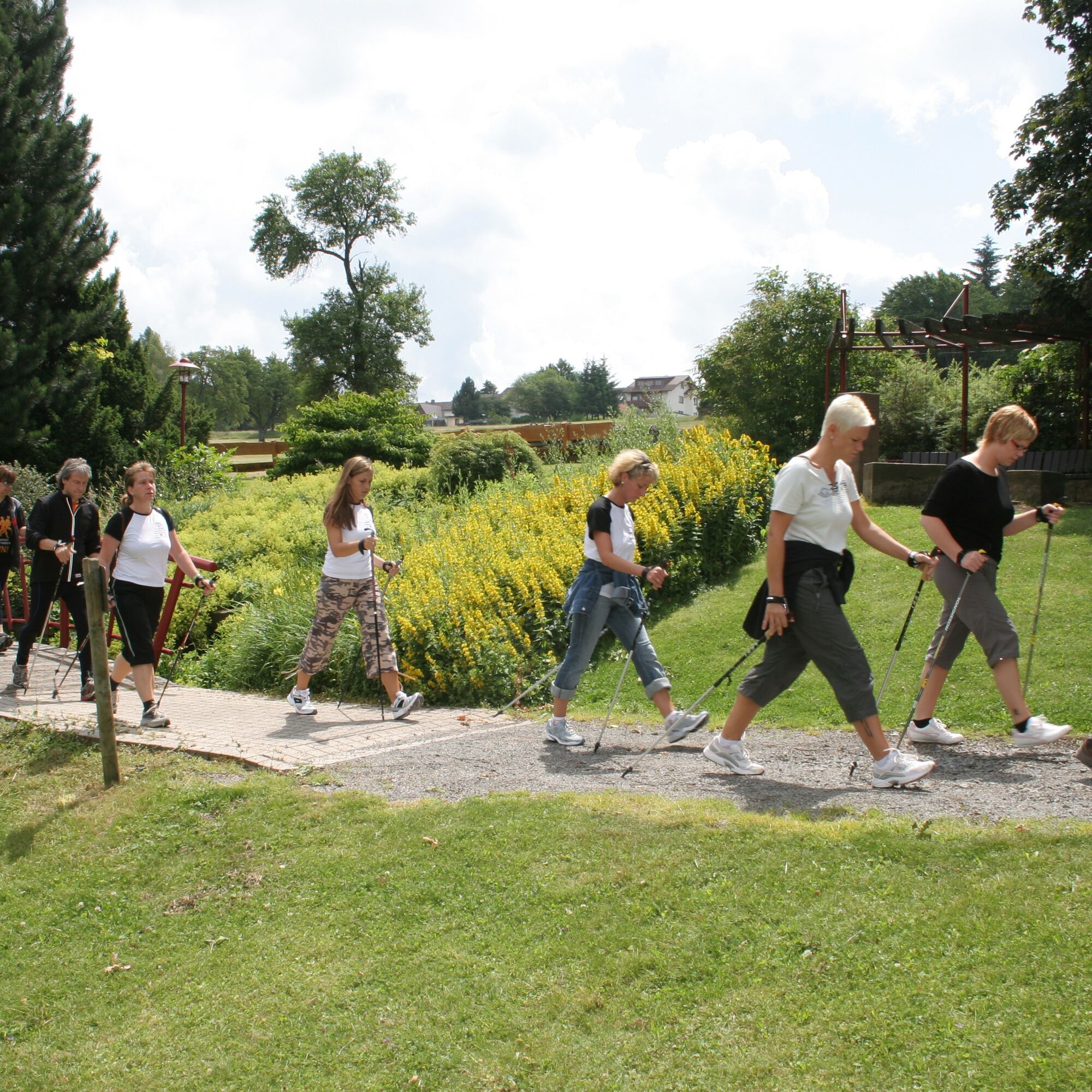
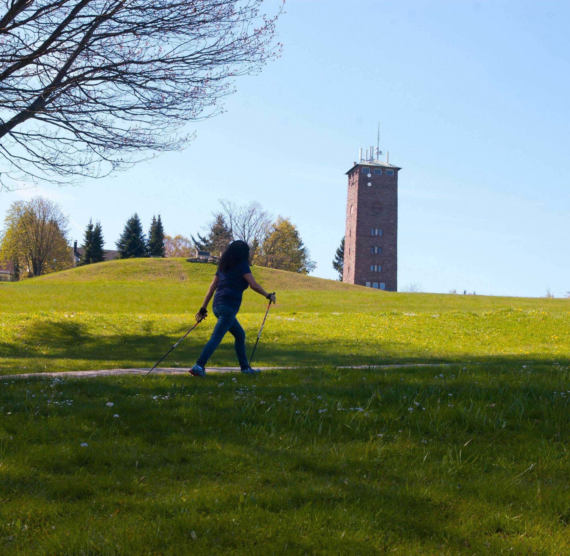

Start at Kurhaus Dobel, over the Sonnenweg with wide views westwards to the Pfälzer Wald, past the water tower towards the sports ground, behind the Pfützenhäusle junction the relaxing Gidesweg leads you right into the greenery. You cross a forest crossroads with benches, then reach the Stierhütte (shelter with pulse board. Do you know your target zone? Remember your hydration). The Gerstelsweg then takes you into denser forest at halfway, leads onto the Lehmannsweg, from where it later crosses the Mannenbach onto the Postweilerweg and over Kreuzwasen uphill back into town.
Walking sticks, good footwear, something to drink
You can reach our climatic spa town by car from the A8 coming from Stuttgart via Pforzheim (motorway exit West) continuing towards Birkenfeld, Neuenbürg, Straubenhardt, and further towards Dobel.
From the A5 motorway also coming from Karlsruhe, take exit 47 to Ettlingen. Continue on L562 towards Bad Herrenalb through the beautiful Alb valley. From Bad Herrenalb you are only 5 km from the beautiful Dobel.
By bus, Dobel stop, town center.
You can comfortably reach Dobel from Pforzheim by public transport with bus line 716 in just 50 minutes. From Karlsruhe take tram line 1 with final station Bad Herrenalb. From here the bus lines 716, X63, or 719 take you to Dobel.
Parking Kurhaus Dobel or sports ground.
Free from April to November.
Enjoy the view from the former water tower and today's observation tower daily from May to October from 8:00 a.m. to 5:00 p.m.
Uzyskaj wgląd
Zawsze na żywo z ponad 9 500 kamer internetowych. bergfex Jako użytkownik Pro, możesz teraz zobaczyć odpowiednie kamery internetowe dla wielu wycieczek w aplikacji wycieczki od. Pozwala to na bezpośredni podgląd aktualnych warunków.
Popularne wycieczki w okolicy
-
5,0
Circular route via spring nature trail and Wurstberg
światłoWędrówka 8,08 km -
4,7
Eyach round
średniWędrówka 7,84 km -
3,0
Dobel High-Altitude Route
średniWędrówka 11,8 km -
4,0
Kaltenbronn Circular Route No. 1 - Wildsee Moor Loop
światłoWędrówka 8,30 km -
4,3
Nature experience tour Kaltenbronn
średniWędrówka 14,2 km -
4,0
Spaziergang zum Bernsteinfelsen
średniWędrówka 14,5 km -
4,8
Weisenbacher Steig (Rechts der Murg)
średniWędrówka 17,6 km -
AugenBlick route Bad Herrenalb Schweizerkopf
średniWędrówka 15,5 km -
4,3
The hang glider route
średniWędrówka 9,09 km -
4,0
Bad Herrenalb town circuit
średniWędrówka 10,5 km

Wędrówki i tropienie


Nie przegap ofert i inspiracji na następne wakacje
Twój adres e-mail została dodana do listy mailingowej.





