






Great Rock Route (KONUS)
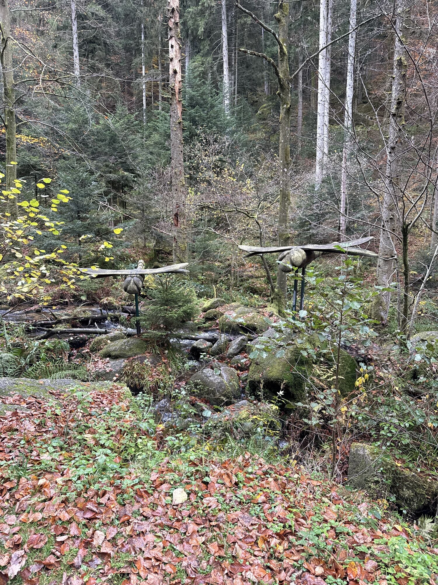
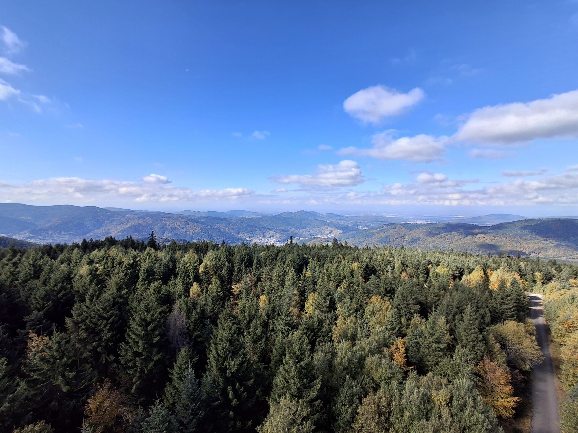
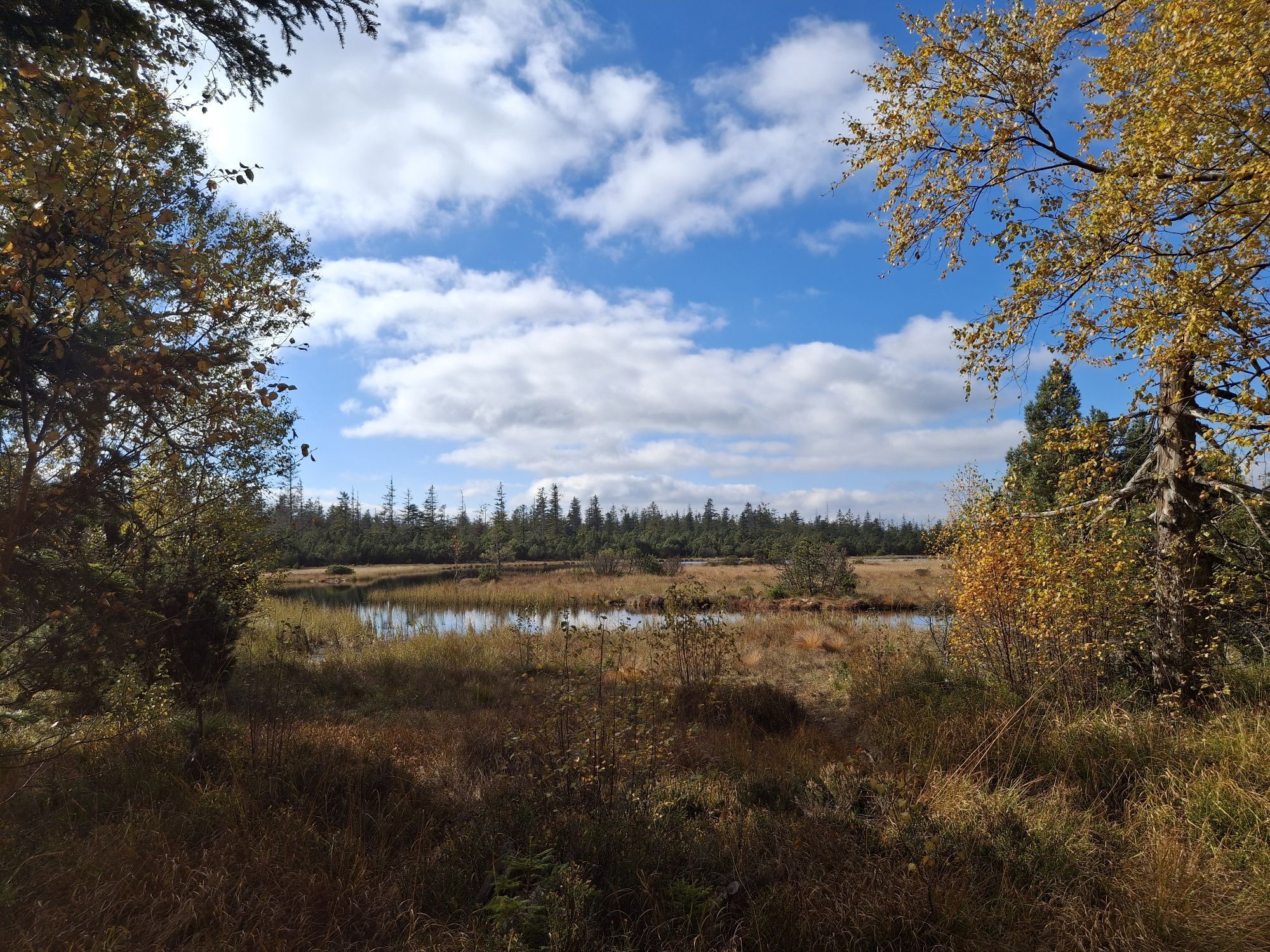
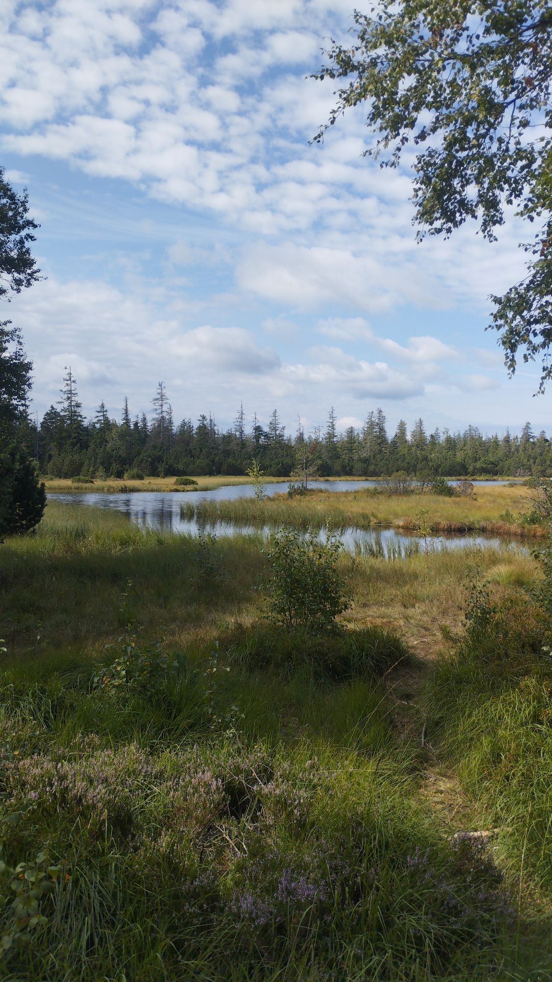
The route offers impressive views and is a difficult route for experienced mountain bikers.
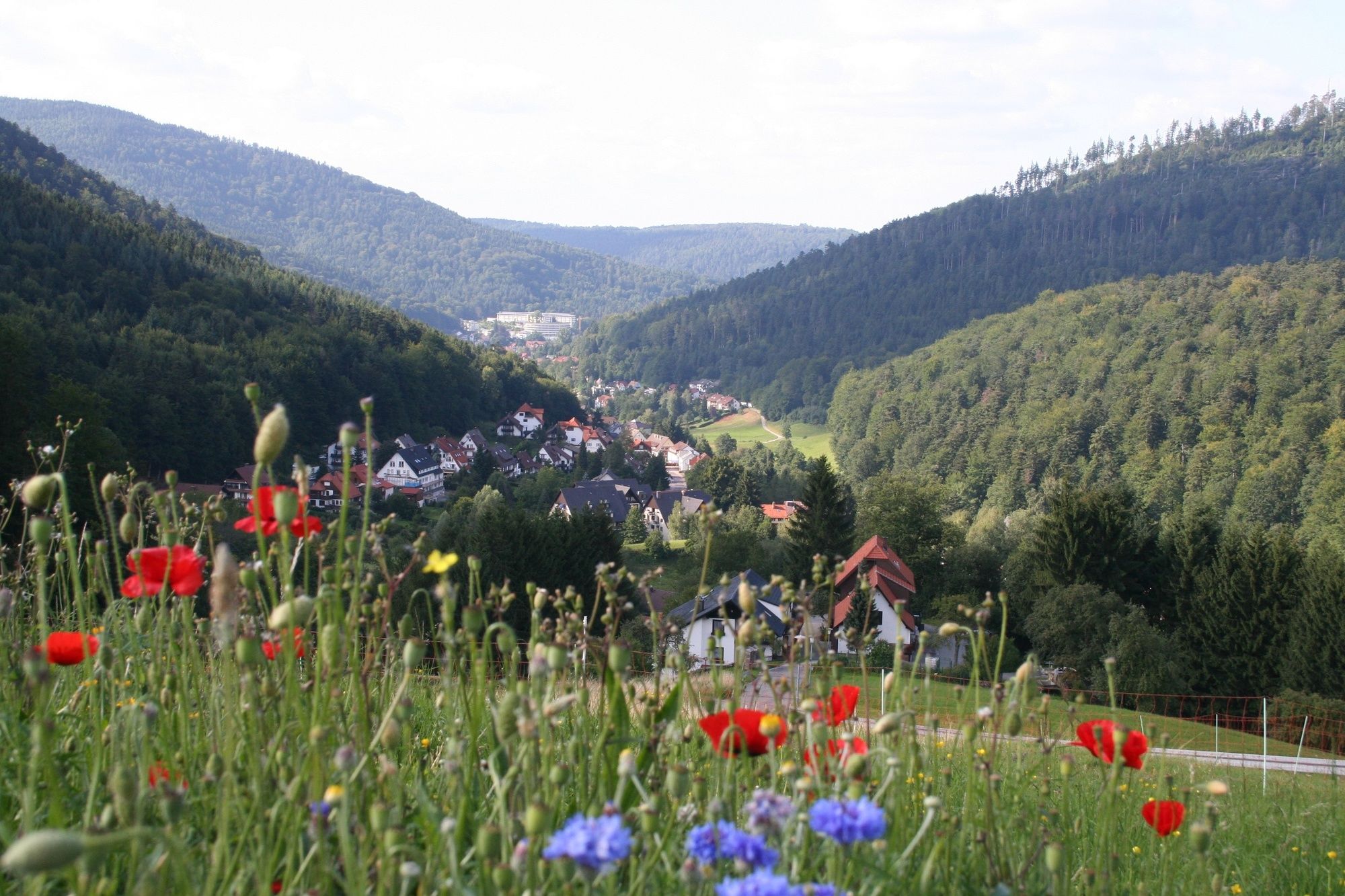

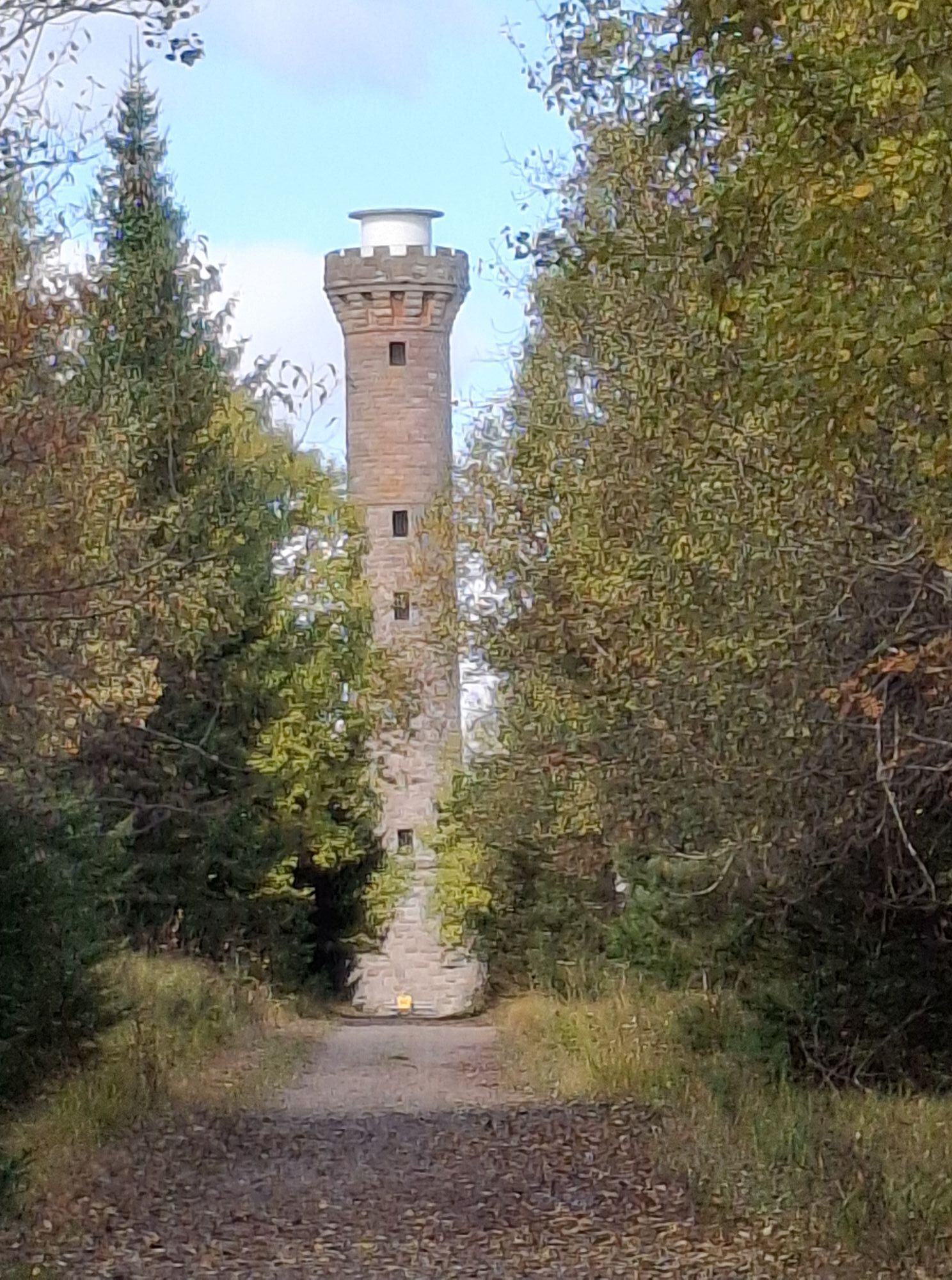
Over the ski lodge in the upper Gaistal and the Hahnenfalz hut leads a "warming" climb of 380 m to an altitude of 940 m and to the Langmartskopf hut with a wonderful panorama from the Hornisgrinde to the North Vosges. Similar views can be experienced from the Kaiser Wilhelm Tower on the Hohloh, the highest point east of the Murg. Above the picturesque village of Reichental you pass the Orgelfelsen, further rocks follow: Fußfelsen, Rockertfelsen. From Lauterbach below the mighty Lautenfels, you reach Loffenau and from there you have to overcome a steep section uphill to get via the Käppele to Bad Herrenalb.
By car:
Coming from Frankfurt or Basel, take the A5 motorway, exit Ettlingen, then follow the signs.
Coming from Stuttgart, take the A8 motorway, exit Karlsbad/Bad Herrenalb, then follow the signs.
By public transport:
Take the S1 from Karlsruhe main station via Ettlingen to Bad Herrenalb station
KONUS route:
If you are tired in Loffenau and want to avoid the last steep climb, take bus 244 back to Bad Herrenalb station.
Information on connections can be found at www.kvv.de and www.avg.info.
With your KONUS guest card, which you receive through the visitor's tax starting from one overnight stay in Bad Herrenalb, you can travel for free throughout the Black Forest area (more information about the KONUS card is available at www.badherrenalb.de).
P+R at Bad Herrenalb station
Paid parking lot at the town entrance (coming from Ettlingen, right at the roundabout)
Paid parking lots at the spa
Paid parking lot at the town hall
Paid parking lot at Sägwasenplatz
Free forest parking lot above the cemetery
Tourism and city marketing Bad Herrenalb
Rathausplatz 11
76332 Bad Herrenalb
Tel:07083/5005 55
E-mail: info@badherrenalb.de
www.badherrenalb.de
Numerous dining options in Bad Herrenalb and at the ski lodge Gaistal.
Uzyskaj wgląd
Zawsze na żywo z ponad 9 500 kamer internetowych. bergfex Jako użytkownik Pro, możesz teraz zobaczyć odpowiednie kamery internetowe dla wielu wycieczek w aplikacji wycieczki od. Pozwala to na bezpośredni podgląd aktualnych warunków.
Popularne wycieczki w okolicy
-
5,0
Circular route via spring nature trail and Wurstberg
światłoWędrówka 8,08 km -
4,7
Eyach round
średniWędrówka 7,84 km -
4,2
Kaltenbronn Circular Route No. 1 - Wildsee Moor Loop
światłoWędrówka 8,30 km -
4,7
premium hiking trail Enzquellenpfad
średniWędrówka 19,9 km -
3,0
Dobel High-Altitude Route
średniWędrówka 11,8 km -
4,3
Nature experience tour Kaltenbronn
średniWędrówka 14,2 km -
4,0
Spaziergang zum Bernsteinfelsen
średniWędrówka 14,5 km -
4,8
Weisenbacher Steig (Rechts der Murg)
średniWędrówka 17,6 km -
AugenBlick route Bad Herrenalb Schweizerkopf
średniWędrówka 15,5 km -
4,3
The hang glider route
średniWędrówka 9,09 km
Wędrówki i tropienie


Nie przegap ofert i inspiracji na następne wakacje
Twój adres e-mail została dodana do listy mailingowej.





