







Swabian Alb Cycle Route - Stage 3: Heidenheim an der Brenz to Bad Boll
Poziom trudności: 1
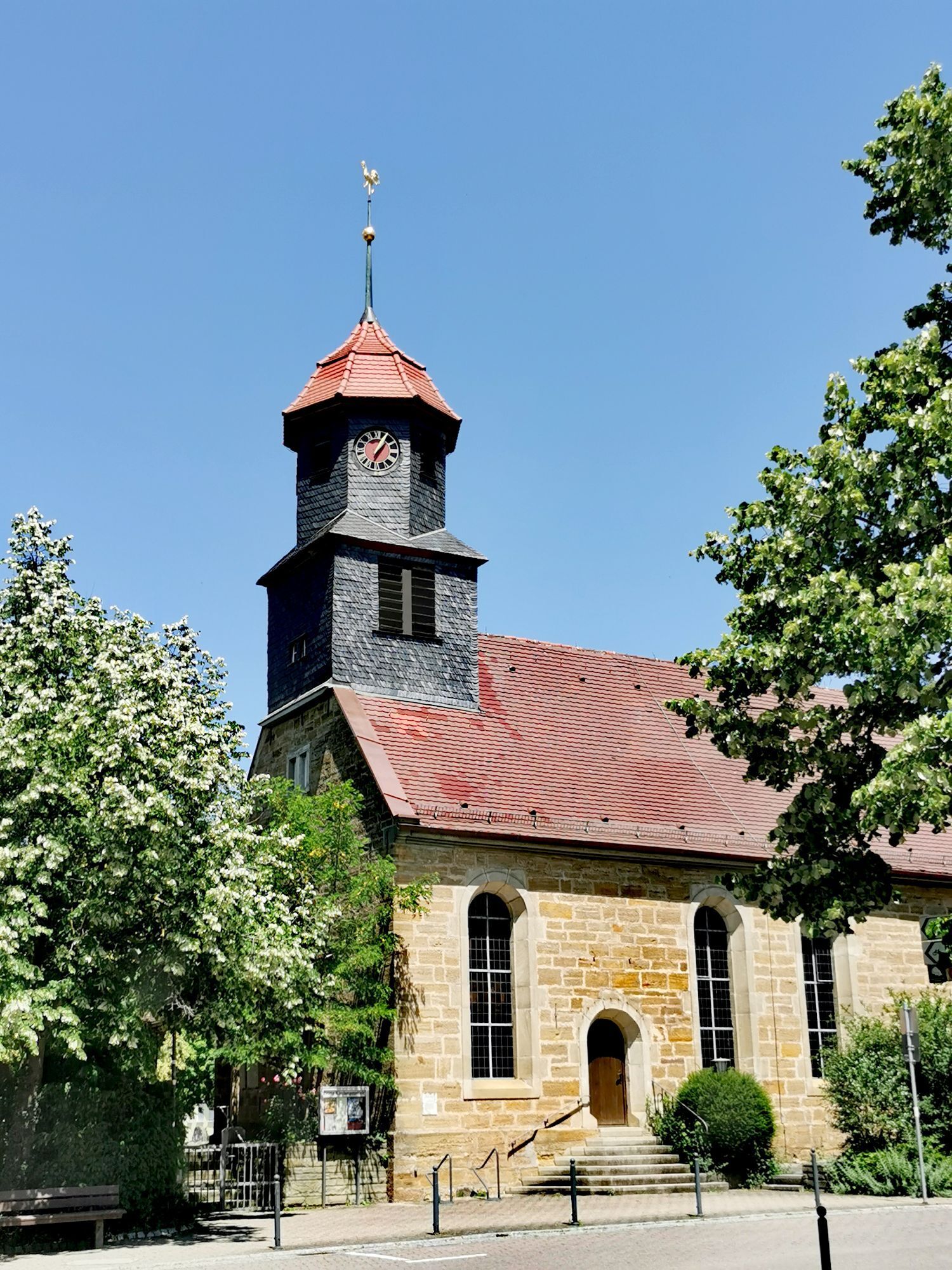
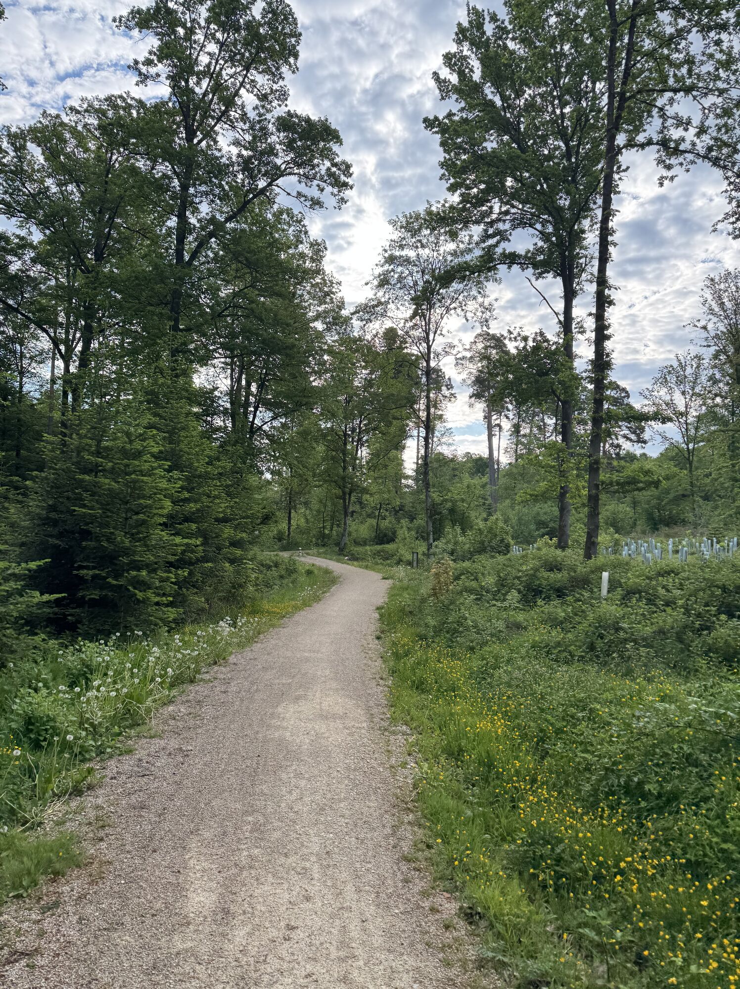
Ever stand on the edge of a meteor crater? You can at the Steinheimer Basin, which is part of the third stage. If you have time and want to leave the bike behind for a while, you can walk the 20-kilometer-long...
Ever stand on the edge of a meteor crater? You can at the Steinheimer Basin, which is part of the third stage. If you have time and want to leave the bike behind for a while, you can walk the 20-kilometer-long crater circular trail. But that's not the only geological sensation on this day. The ride follows the Alb cliff and ends at the mineral spas of Bad Boll. Tip for gourmets: stop by the Jörg Geiger manufactory in Schlat along the way and taste the unique sparkling wines and cider made from ancient fruit varieties.

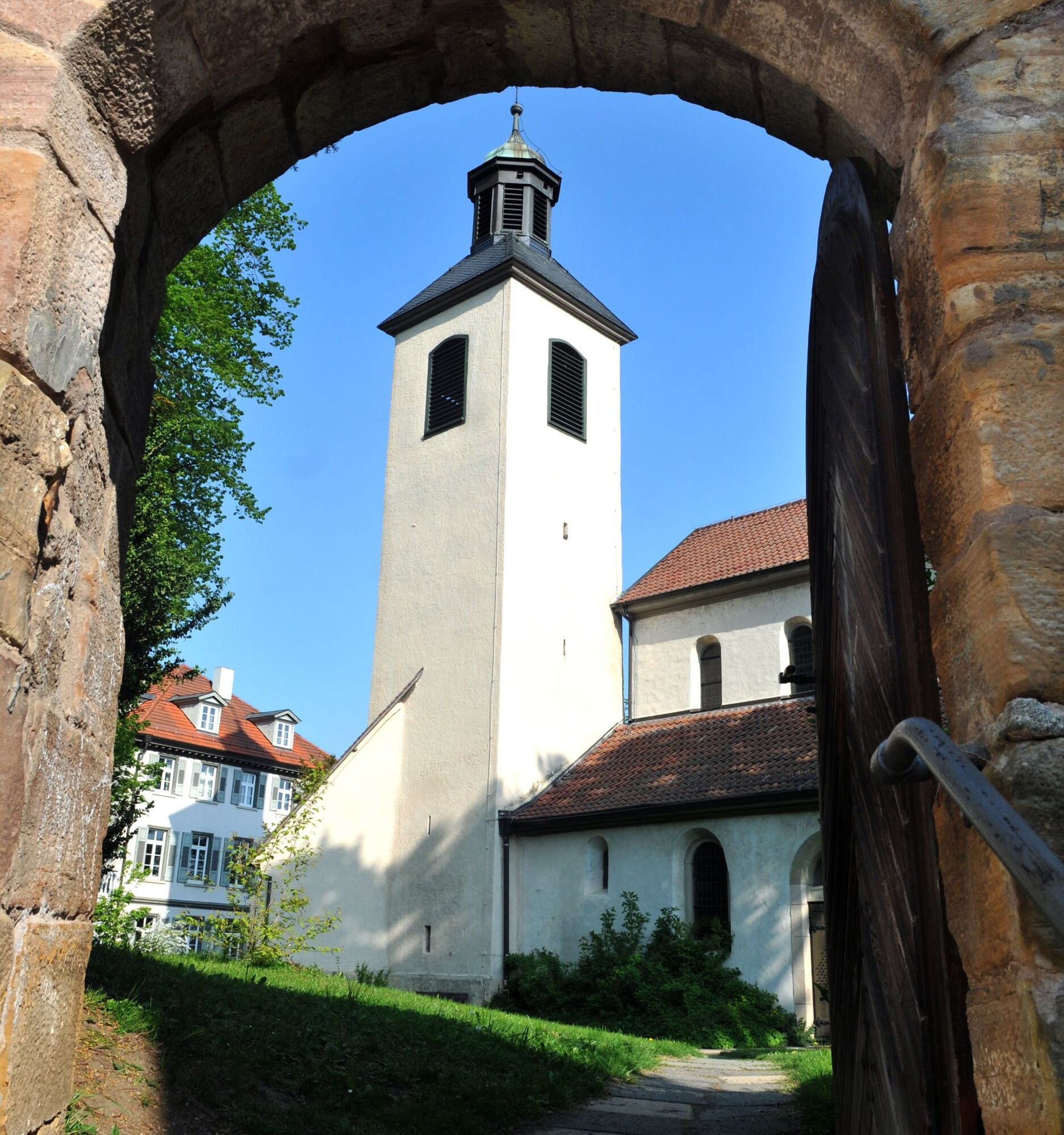

The third stage of the Swabian Alb Cycle Route leads about 54 kilometers from Heidenheim an der Brenz to Bad Boll – a varied route that combines scenic openness, geological features, and quiet Alb villages.
At the beginning, you leave Heidenheim along the Brenz and then climb over the first Alban heights. The ascent is moderate but steady – for which you are rewarded with wide views over the Alb foreland. Soon you reach the Steinheimer Basin, a unique geological formation created about 15 million years ago by the impact of a meteorite. The crater is now a gently undulating landscape with orchards and fields.
The path continues over quiet country roads and farm tracks towards Söhnstetten and Böhmenkirch, where the highest point of the stage can be found at around 730 m above sea level. Up here, the typical Alb plateau landscape appears: juniper heaths, open forest, and open spaces shape the scenery.
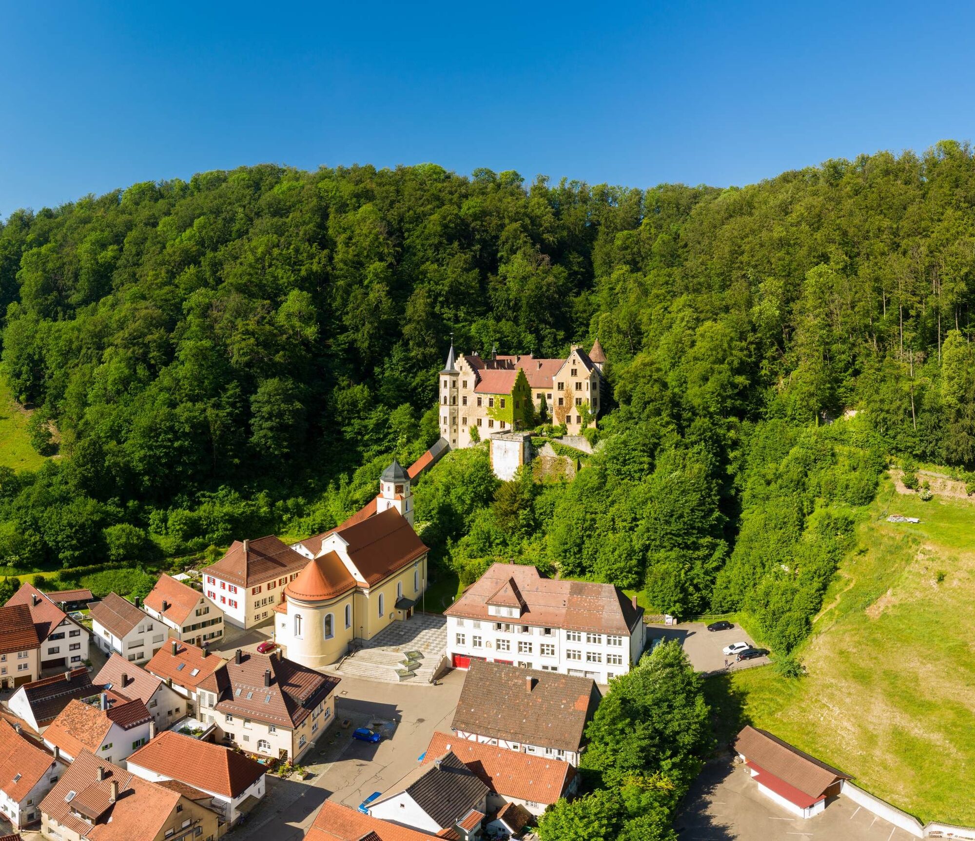
After the summit, it goes comfortably downhill – first to Weißenstein, where Weißenstein Castle majestically overlooks the town. The small old town invites a short break. Continuing through Süßen and Schlat, passing orchards, apple trees, and small farm shops offering regional products. Here the Alb shows its delightful side – a stop is worthwhile!
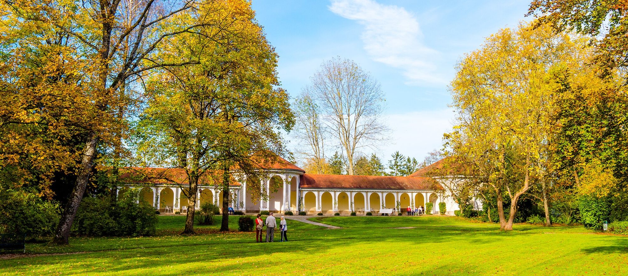
The route continues via Eschenbach to Bad Boll. On the last kilometers, you are accompanied by wonderful views of the Alb cliff, the distinctive escarpment of the Swabian Alb. The spa town of Bad Boll forms the ideal conclusion of this stage: the spa with its thermal springs offers the perfect relaxation for tired legs after the ride.
Tak
We recommend taking a trekking bike with or without a motor, a helmet, bike tools, weatherproof clothing, enough food and drink, a bike map or a GPS device, and a mobile phone on the Swabian Alb Cycle Route.
The wind can be strong on the Alb plateau – dressing in layers and wearing a helmet is advisable.
Descents to Weißenstein and Bad Boll are rapid, so please check your brakes beforehand.
Take enough drinks and snacks – the route runs through sparsely populated areas.
Respect the nature reserves along the route: stay on the paths, no shortcuts over meadows.
In fog or rain, orientation on the plateau can be difficult – a GPS device or tour planner helps for safety.
1
The ADFC Baden-Württemberg offers a package tour on the Swabian Alb Cycle Route, so it can be ridden relaxed and without much planning effort.
Uzyskaj wgląd
Zawsze na żywo z ponad 9 500 kamer internetowych. bergfex Jako użytkownik Pro, możesz teraz zobaczyć odpowiednie kamery internetowe dla wielu wycieczek w aplikacji wycieczki od. Pozwala to na bezpośredni podgląd aktualnych warunków.
Popularne wycieczki w okolicy
-
4,5
Löwenpfad "Orchideenpfad" - Herbs, Pasqueflower and Juniper Heathlands
średniWędrówka 9,33 km -
4,9
Löwenpfad "Staufer-Runde" - Barbarossa's traces before a dreamlike backdrop
średniWędrówka 11,3 km -
5,0
Löwenpfad "Heldentour" - The king stage of the Löwenpfade
ciężkiWędrówka 23,6 km -
4,4
Löwenpfad "Geislinger Felsen-Tour" - up and down through the Eybach valley
średniWędrówka 10,8 km -
4,5
Löwenpfad "Weitblick-Tour" - High up and far-reaching view
ciężkiWędrówka 12,0 km -
4,7
Löwenpfad "Filstalgucker" - views from the heart of the Filstal valley
średniWędrówka 13,0 km -
3,7
Löwenpfad "Wasserberg-Runde" - pure panorama and typical Swabian Jura landscapes
ciężkiWędrówka 12,0 km -
4,3
Löwenpfad "Steigen Tour" - Along the Swabian Landmark of the Century
ciężkiWędrówka 17,3 km -
3,7
Three Emperors' Mountains Loop Hike
ciężkiWędrówka 25,8 km -
3,5
Lion trail "Messelberg tour" - hiking with impressive views
średniWędrówka 7,72 km
Wędrówki i tropienie


Nie przegap ofert i inspiracji na następne wakacje
Twój adres e-mail została dodana do listy mailingowej.





